


Bad Kleinkirchheim viewpoint route
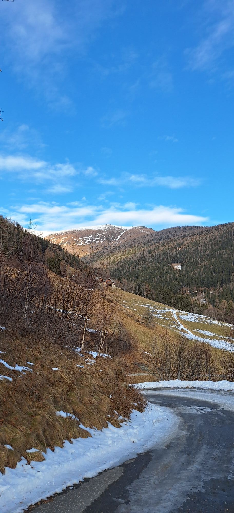
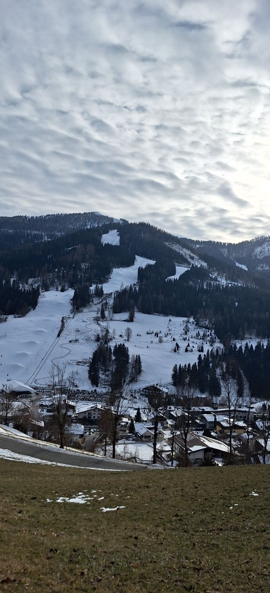
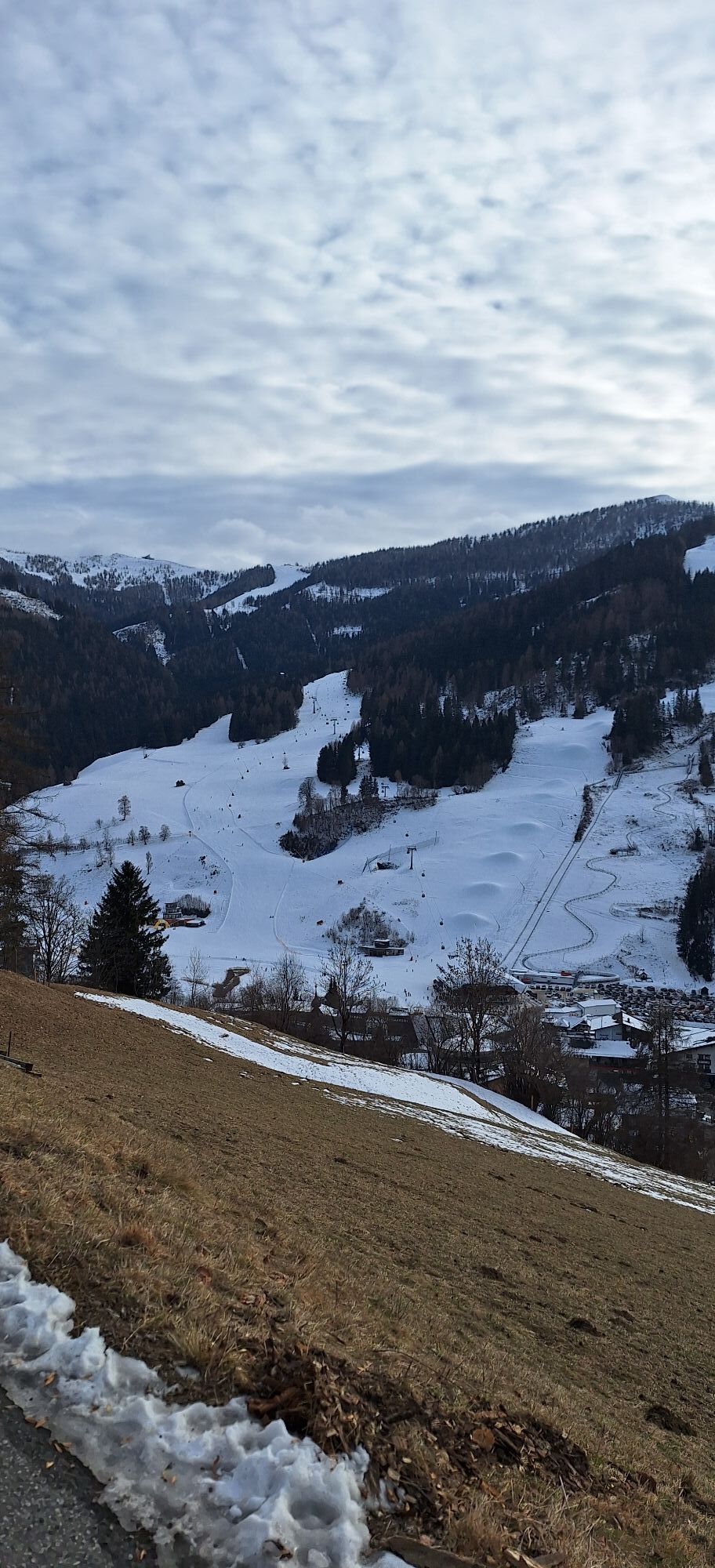
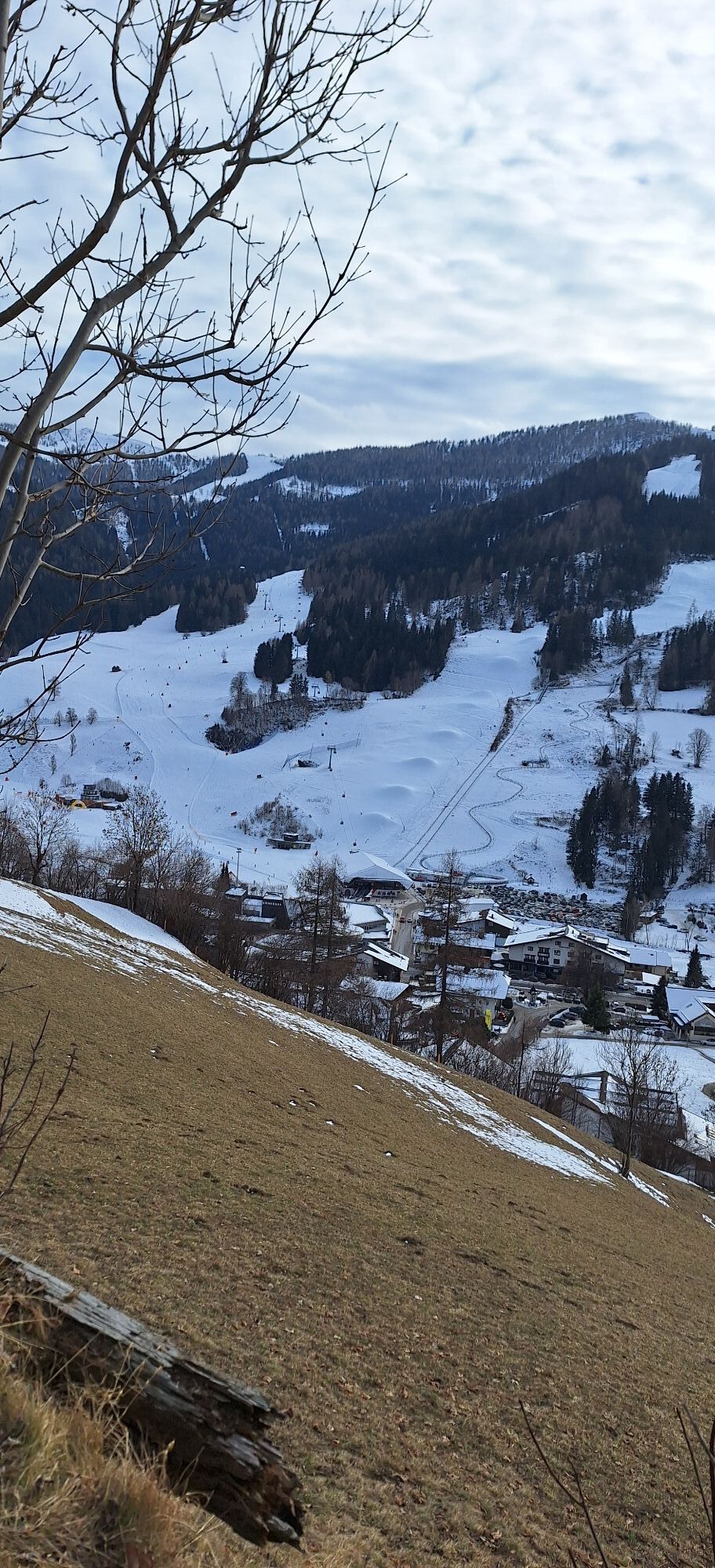
The Kirchheim viewpoint route is perfect as a connecting path to the St. Oswalder Höhensteig or the St. Oswald-Bach-Waterway. Through the forest, it goes along comfortable paths, high above Bad Kleinkirchheim.
Following...
The Kirchheim viewpoint route is perfect as a connecting path to the St. Oswalder Höhensteig or the St. Oswald-Bach-Waterway. Through the forest, it goes along comfortable paths, high above Bad Kleinkirchheim.
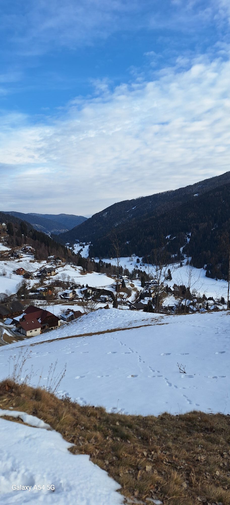
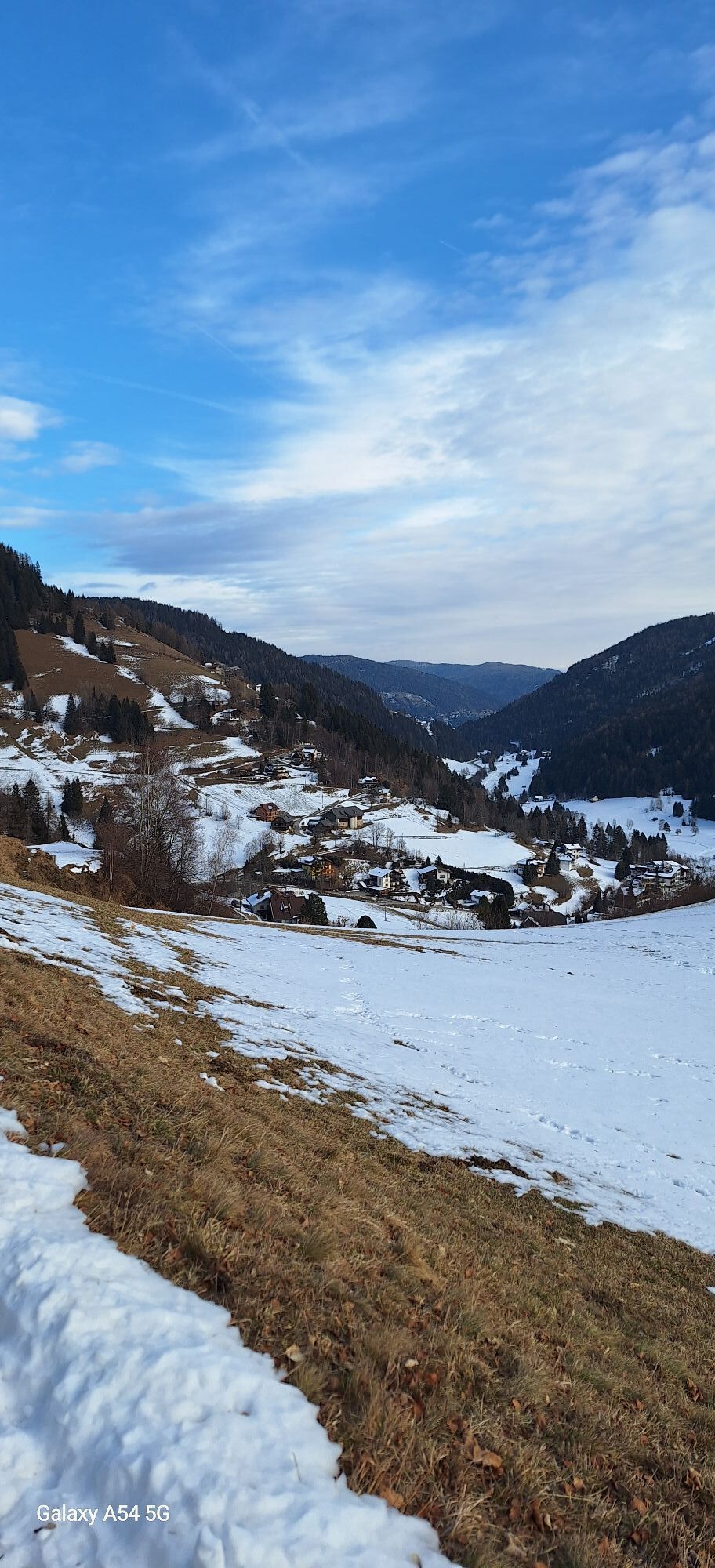
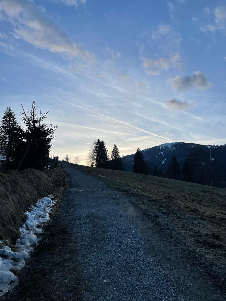
Following the path, you will come across further beautiful viewpoints. You can enjoy a particularly magnificent view of the entire Bad Kleinkirchheim ski area from the Ploningerhof and the Raunighof. From Ploningerhof, the wide and spacious hiking path "viewpoint path" leads you at constant altitude through some ravines with waterfalls from one mountain farm to another. The constantly changing landscape impressions will also delight you. You pass by some traditionally handed-down farms with all their economic buildings (mills, drying racks, …). Do not be discouraged by the repeatedly ascending sections; the effort is richly rewarded at the first viewpoint. You return to the valley through the equally historical and interesting district of Zirkitzen, the originally Slovenian settlement core of the village.
The last ascent leads up to the Streiting tavern and the Matl Sepp farm. After a final "hike" downhill, the round is accomplished.
For especially motivated hikers, there is the Kirchheim valley round either on the side of the golf course or following from Rottenstein on the Felsenweg back to the center of Bad Kleinkirchheim.
Important prerequisites for the success of a mountain tour, besides careful study of guides and maps, are optimal equipment. The basic equipment includes:
solid, well-fitting mountain or hiking boots with grippy soles water- and windproof mountain clothing in layers, hiking poles sunglasses, sun protection mobile phone and hiking map a first aid kit as well as enough to drink and a snackEmergency numbers:
140 Alpine emergency call
144 Rescue emergency call
112 European emergency call (possible from all networks. Switch off mobile phone and after switching on instead of the PIN dial the number “112”)
The route partially leads over public roads and paths. Watch out for vehicle traffic and observe traffic regulations.
to Feldkirchen; via B95 to Patergassen, turn left onto B88 and follow the road to Bad Kleinkirchheim
Access via A10 Tauern Motorway, Spittal-Millstätter See junction exitvia B98 to Radenthein, then change to B88 and follow the road to Bad Kleinkirchheim
Access via A10 Tauern Motorway, Villach-Ossiacher See exitvia B98 to Radenthein, then change to B88 and follow the road to Bad Kleinkirchheim
As a feeder to public transport, the Nockmobil is a demand-responsive call taxi, a green alternative to the car, and brings you flexibly from stop to stop.
For booking a ride with the Nockmobil, we recommend a lead time of about one hour. You can book your call taxi by phone at +43 123 500 444 24, via the app or the ISTmobil website .
Kaiserburg parking lot
Römerbad parking lot
Maibrunnbahn parking lot
Biosphärenparkbahn Brunnach parking lot
Nockalmbahn parking lot
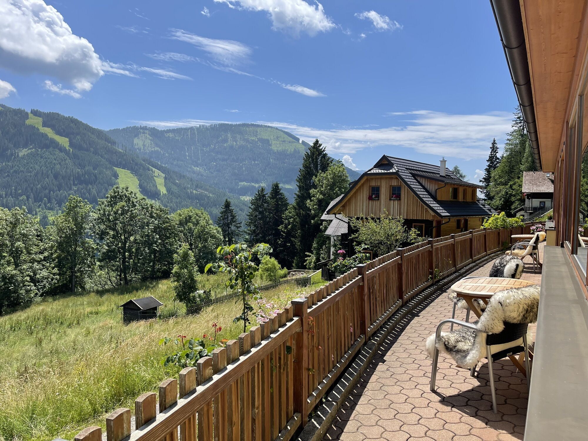
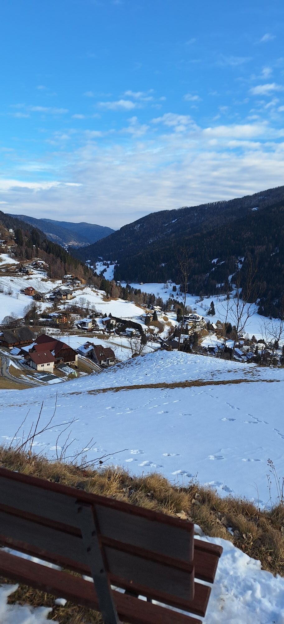
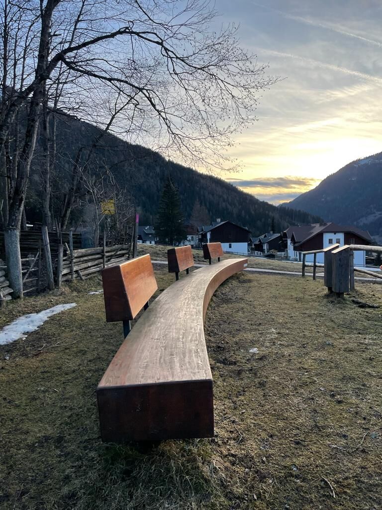
Enjoy the sunbathing benches and the wonderful views over the Bad Kleinkirchheim valley.
Popularne wycieczki w okolicy
-
4,6
Turracher 3 Seen Weg - Weg der Sinne zwischen Berg & See
światłoTrasa tematyczna 7,15 km -
4,8
Schoberriegel - Schönebennock -
światłoWędrówka 9,88 km -
4,8
Enzian-Granatsteig & Almbrunn Steig
światłoWędrówka 8 km -
4,8
Nockbergrundwanderweg
średniWędrówka 6,62 km -
4,8
Große Rosennock Runde
Wędrówka 9,80 km -
4,9
St. Oswald - Circular hike - Mallnock - Klomnock
średniWędrówka 10,9 km -
4,8
Lammersdorfer Hütte, Granattor Runde
światłoWędrówka 9,85 km -
4,6
Falkertsee - Sonntagstal - Falkert
średniWędrówka 4,84 km -
4,7
Falkert, Murmelsteig B/C mit Direktem Abstieg
średniVia ferrata 3,61 km -
4,9
Gr. Königsstuhl, Nockalm, Kärnten
średniWycieczki górskie 7,15 km
Wędrówki i tropienie


Nie przegap ofert i inspiracji na następne wakacje
Twój adres e-mail została dodana do listy mailingowej.