







Hoher Gallin
Poziom trudności: T2
The hike to the Hoher Gallin begins in Oberglan near Feldkirchen in Carinthia and leads through varied forest landscapes up to a summit in the Ossiacher Tauern offering spectacular views. The tour combines...
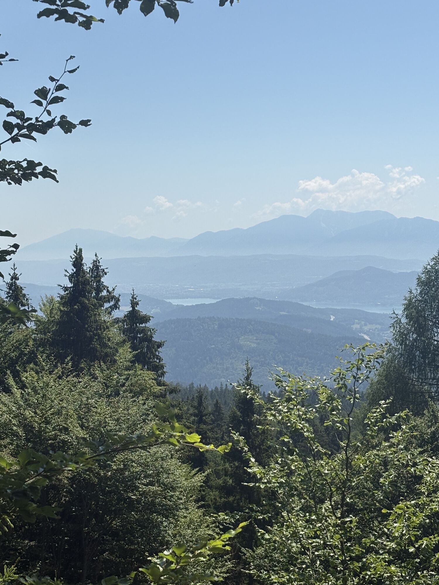
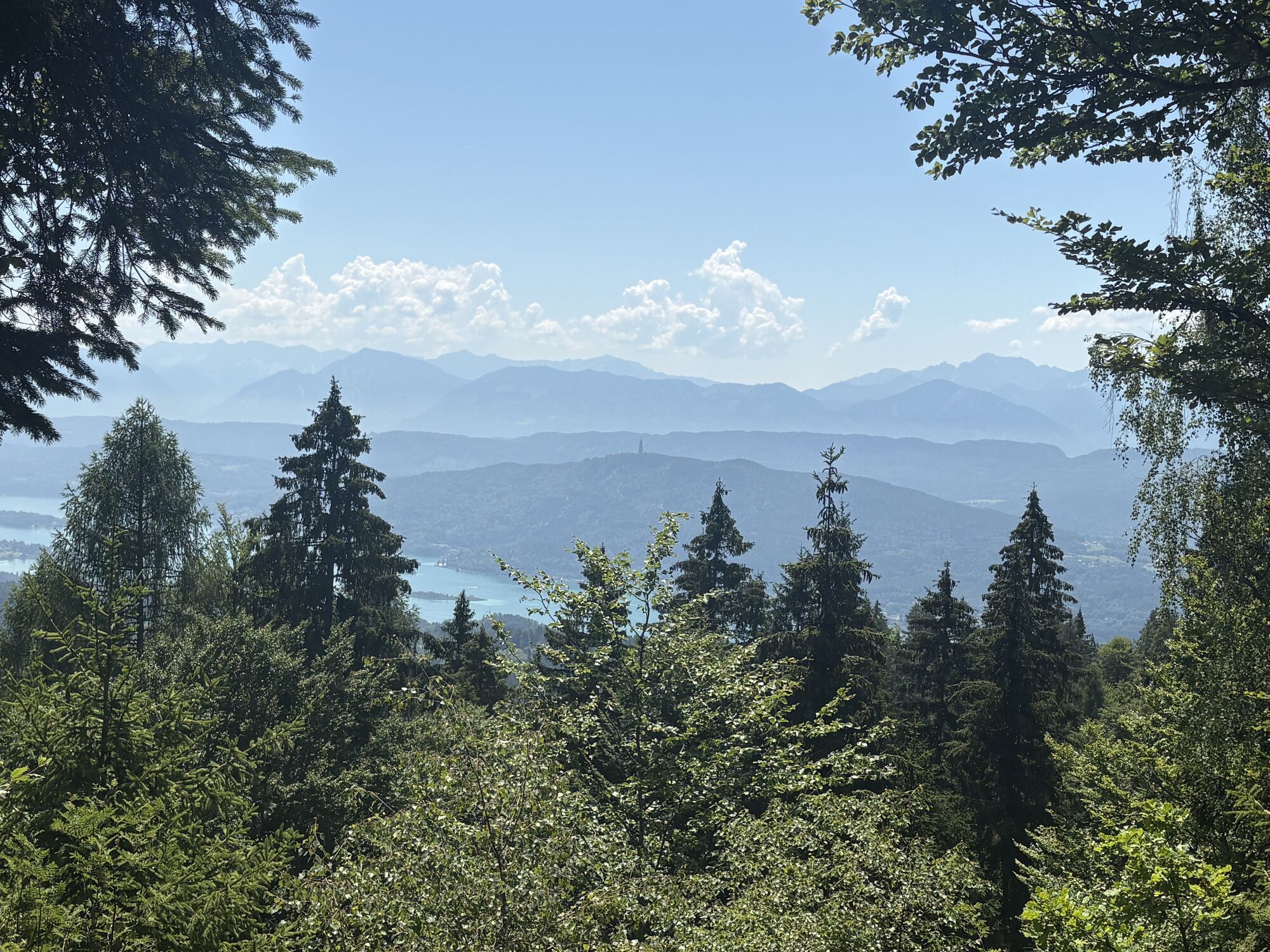
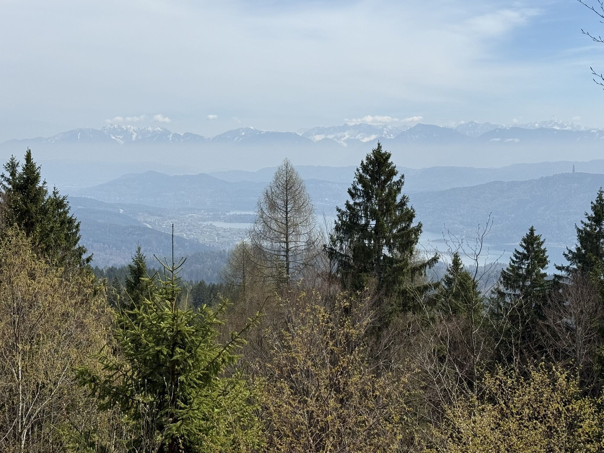
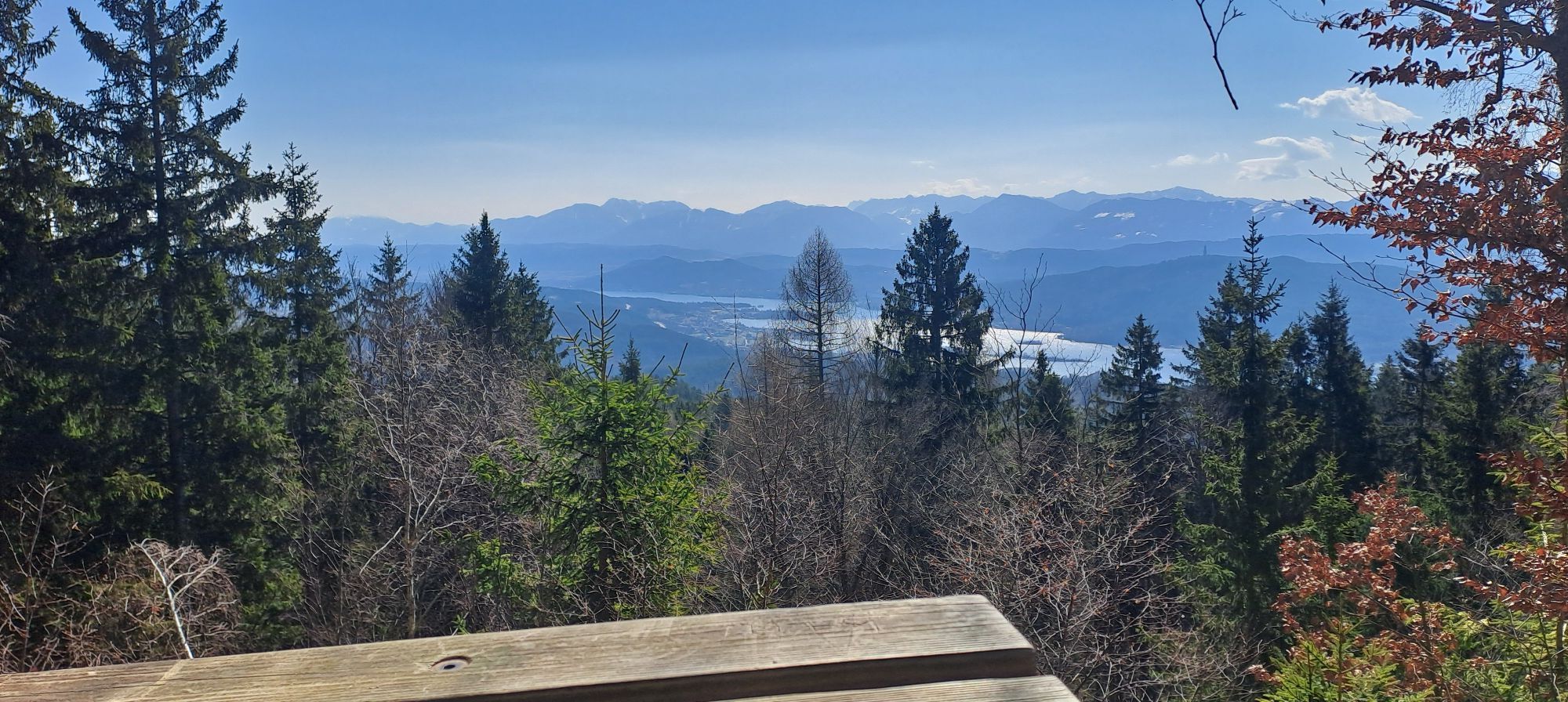
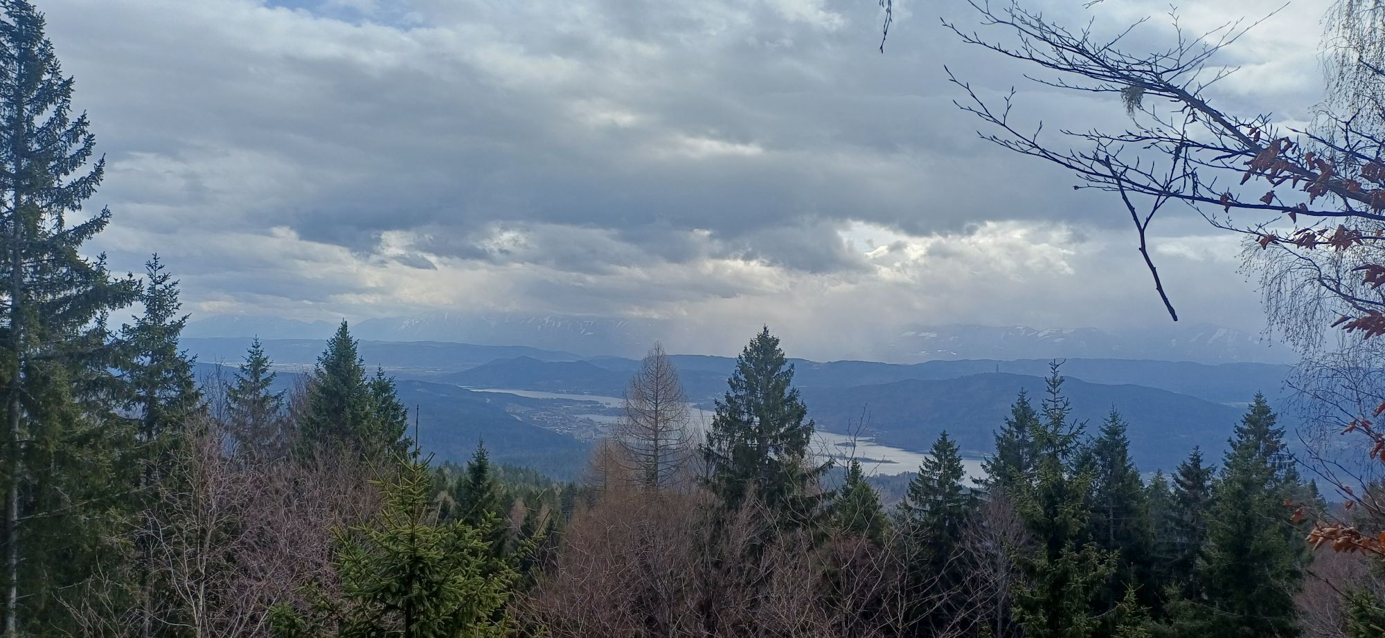
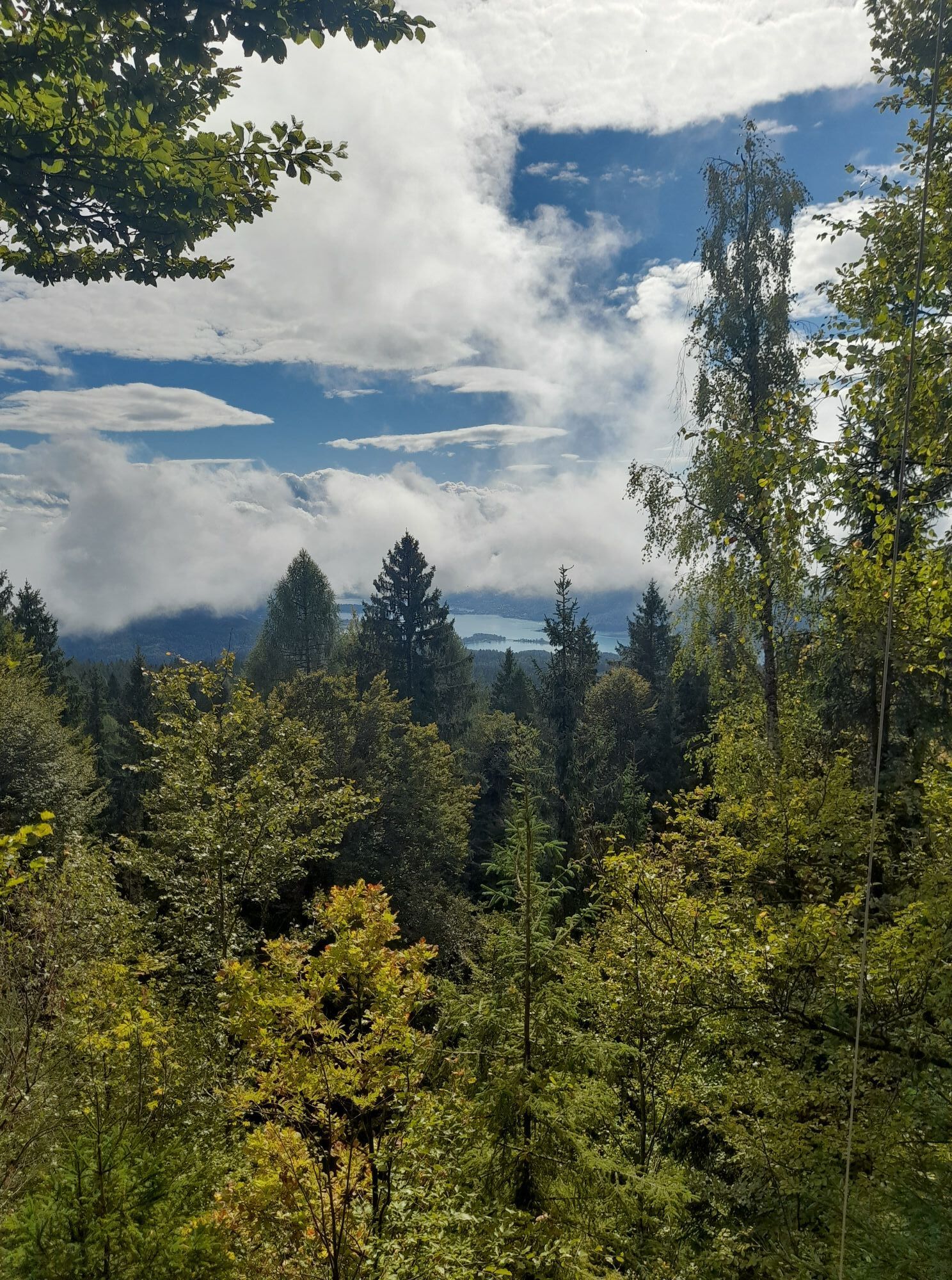
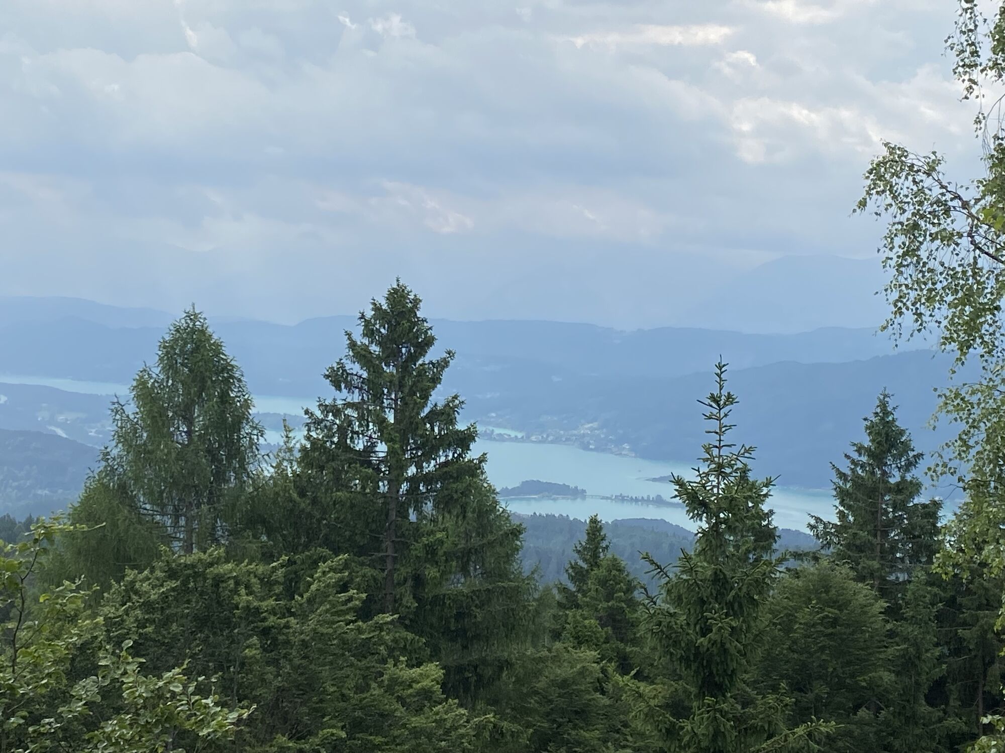
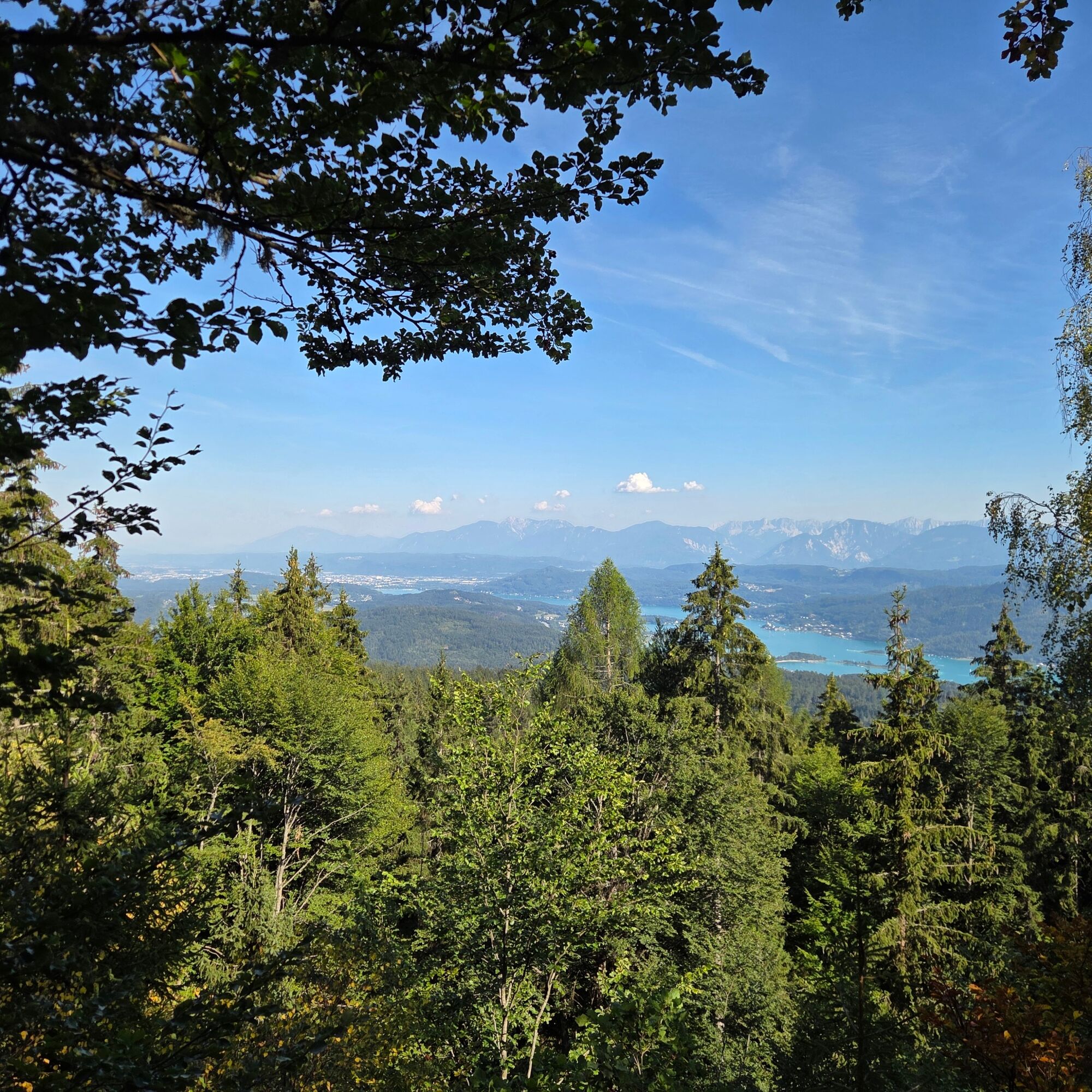
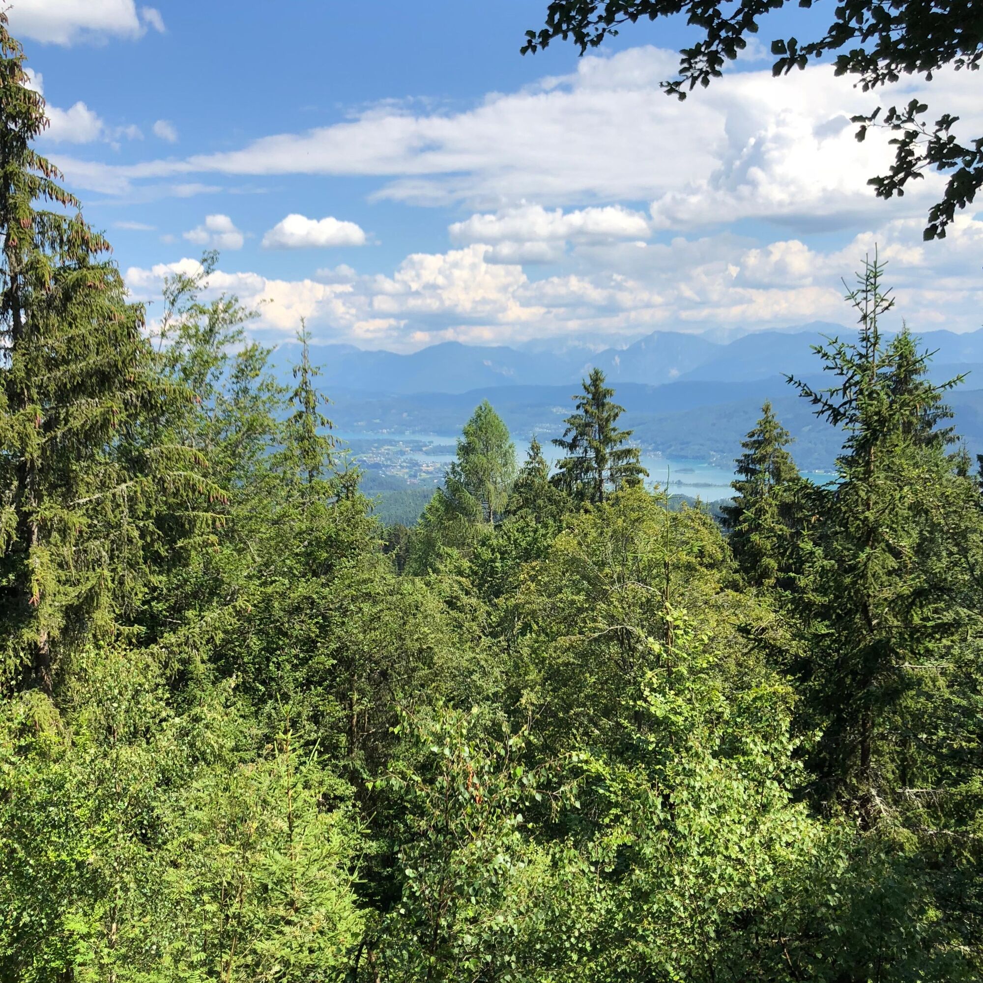
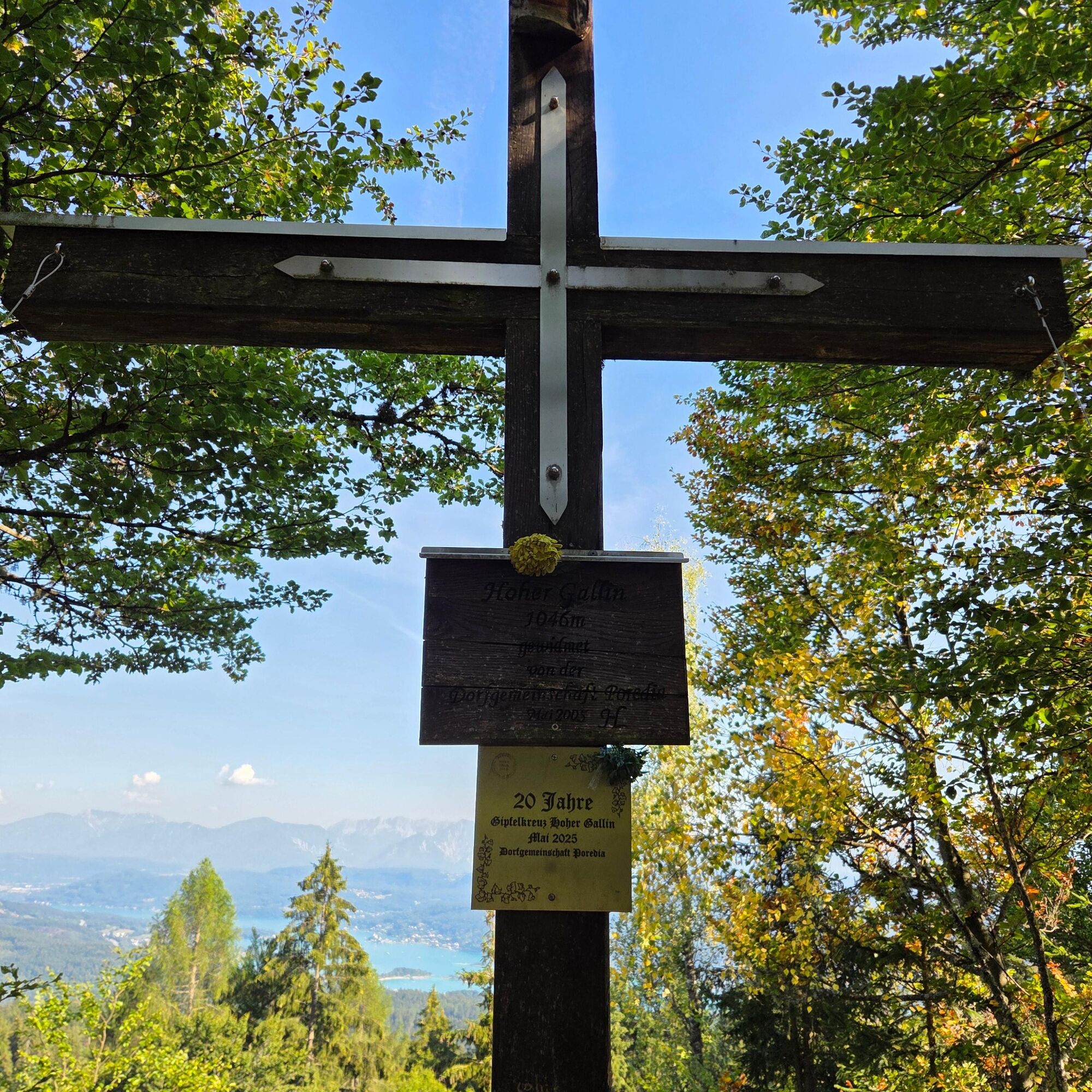
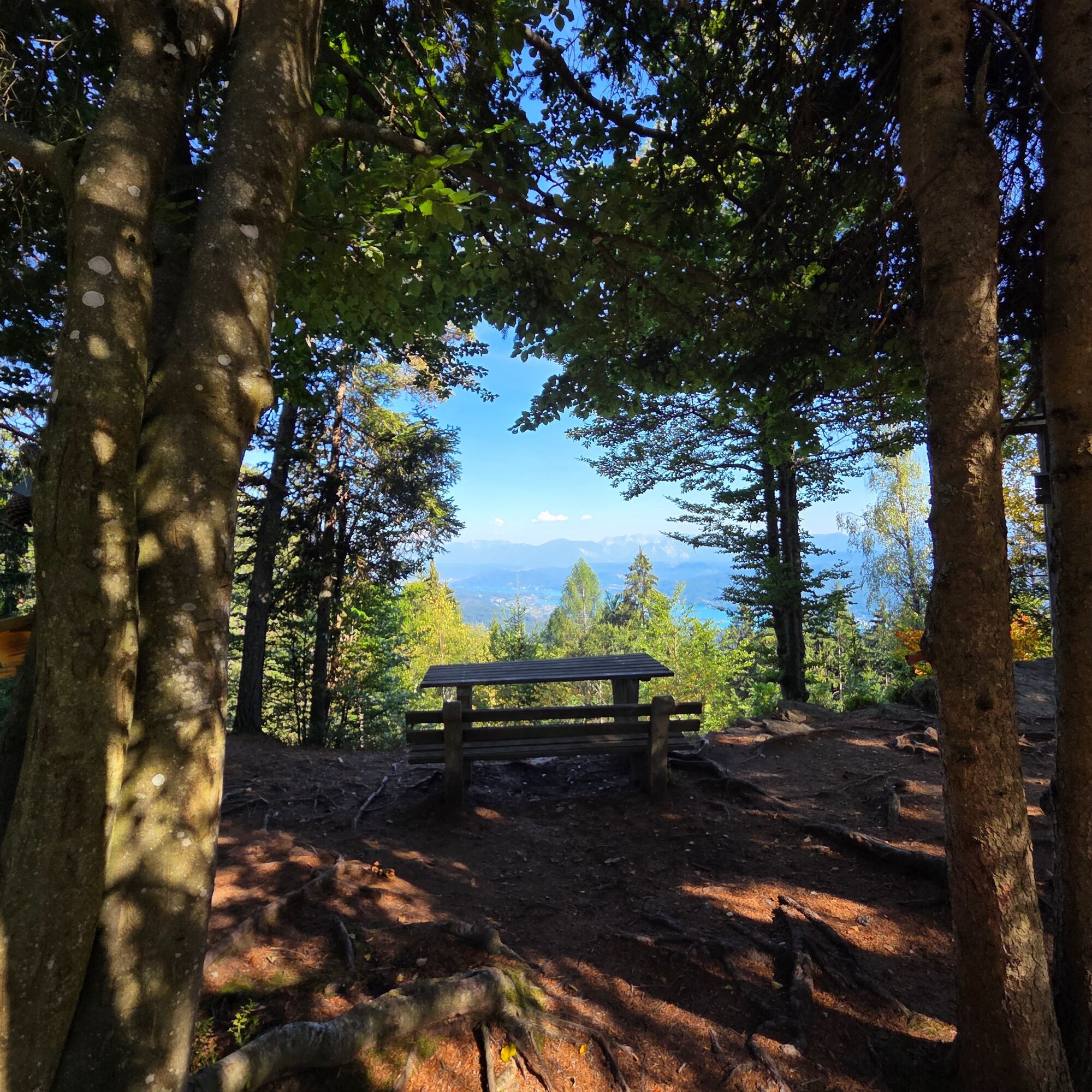
At the Hoher Gallin (1,046 m), you’ll be rewarded with a magnificent view of Lake Wörthersee and the entire Klagenfurt Basin, including the Karawanken Mountains. It’s a wonderful hike, especially on hot days, since many sections lead through the forest.
The Hoher Gallin is thus a rewarding hiking destination for anyone who wants to combine a peaceful forest hike with cultural highlights and a surprisingly expansive panoramic view from the summit.
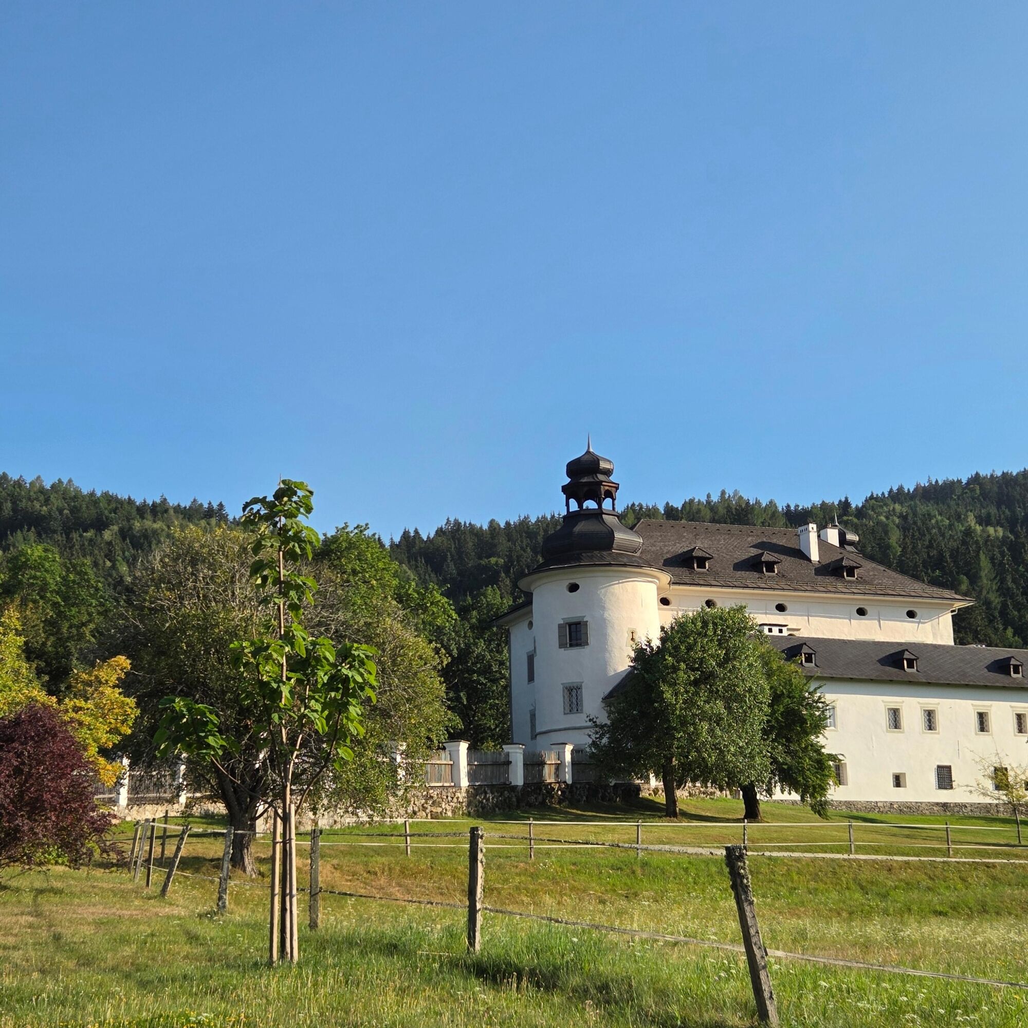
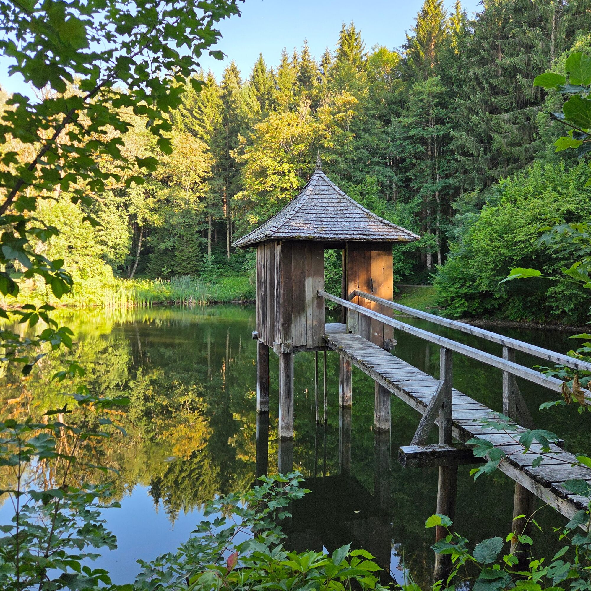

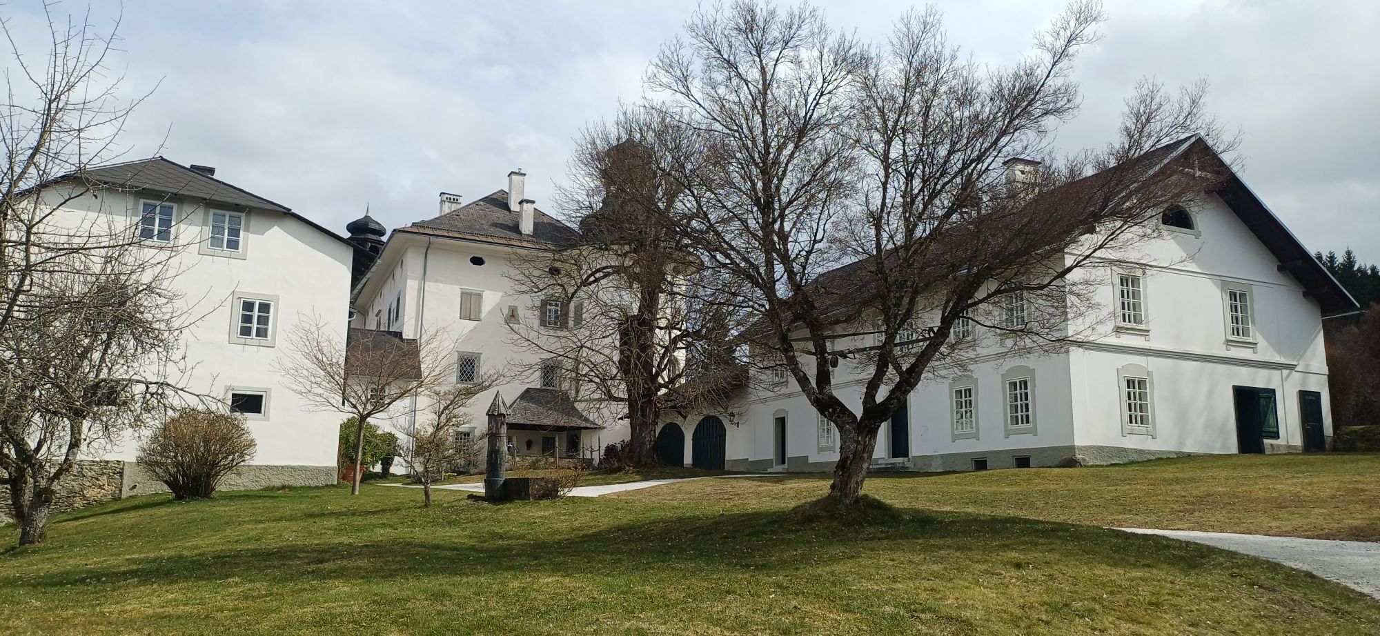
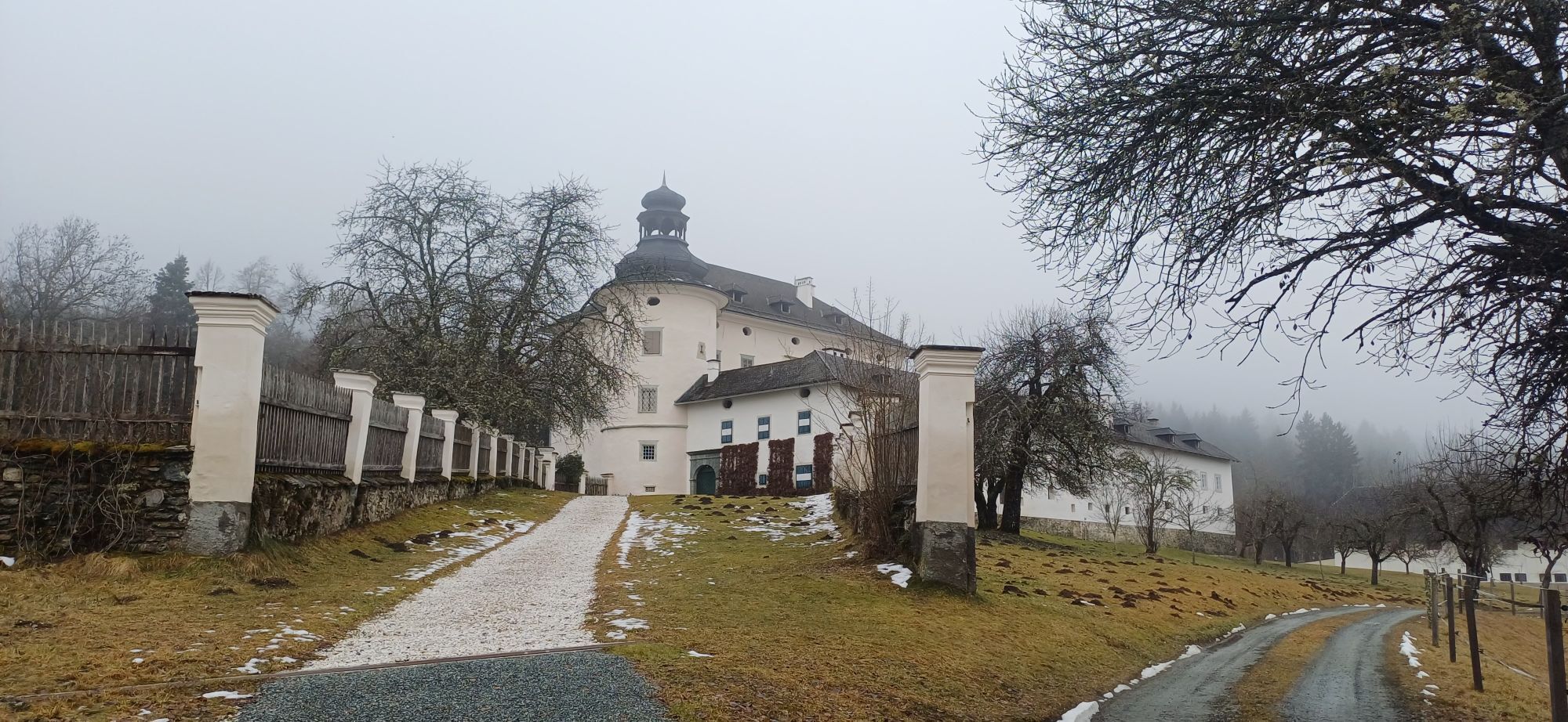
A special highlight along the trail is Gradisch Castle, which is privately owned by the Goëss family and not open to the public. The striking Renaissance building from the mid-16th century dominates the landscape with its characteristic round towers and onion domes. The castle chapel and the historic grounds make Gradisch a cultural and historical highlight well worth seeing along the hike.
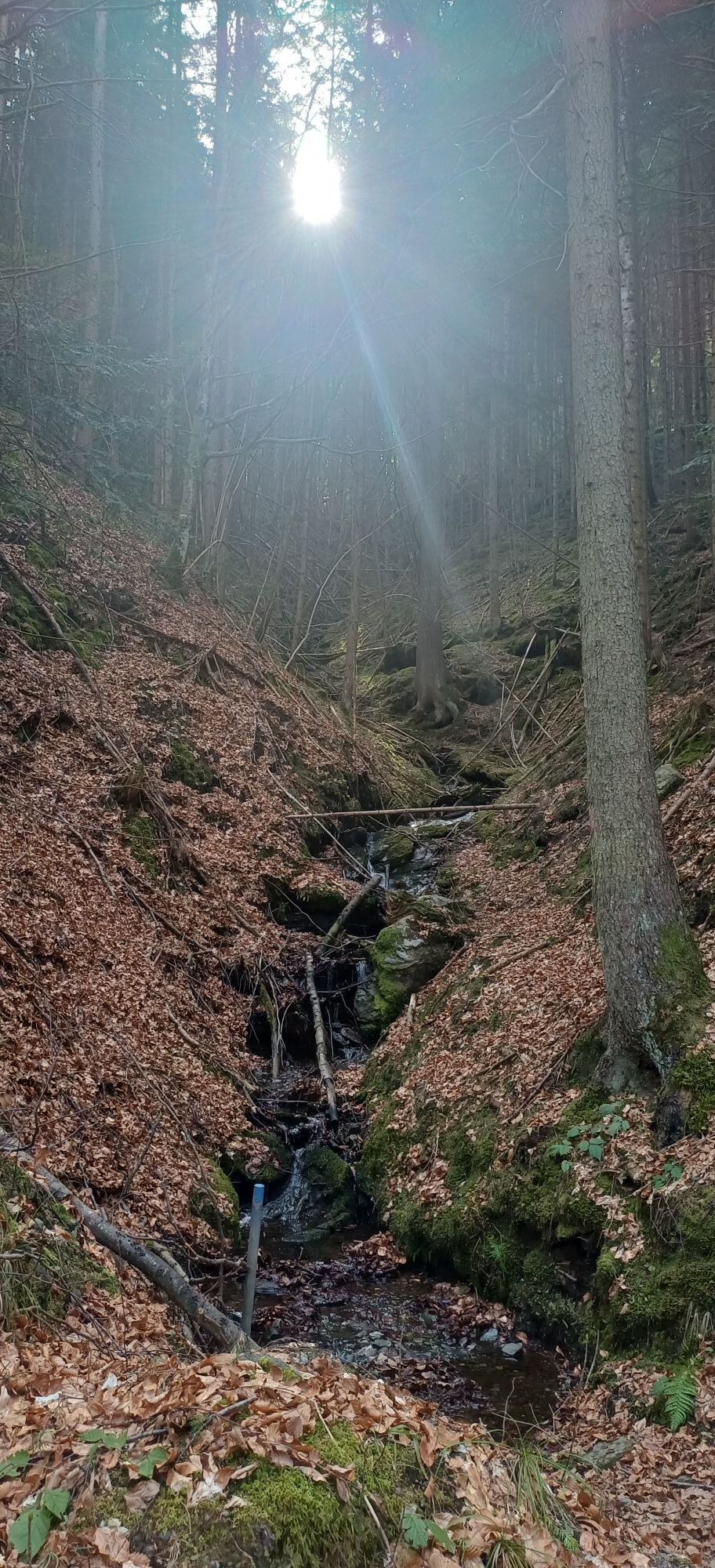
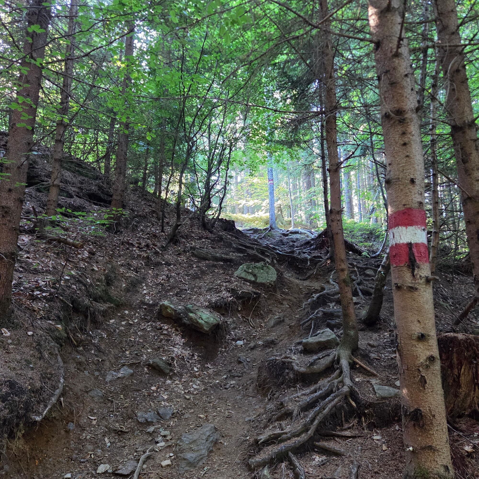
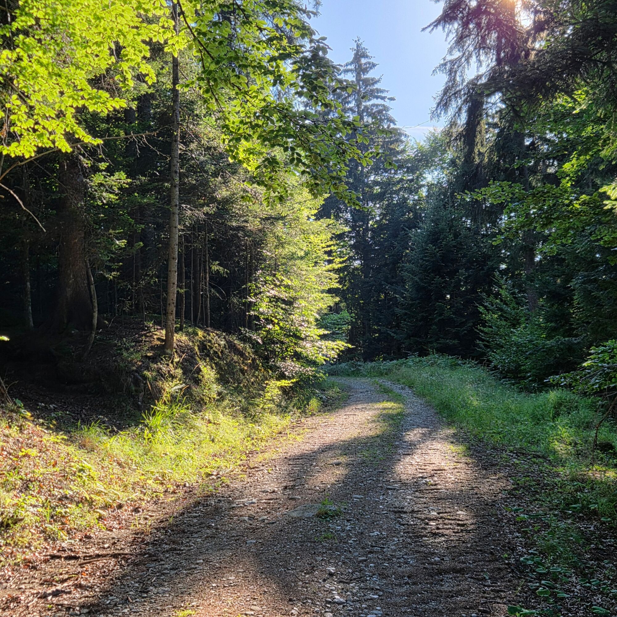
After about 3 kilometers on the forest road, the route switches to a steadily ascending forest trail. Short sections run along forest roads once again before narrow forest trails lead further uphill through the dense forest to the summit. The tour runs largely in the shade and is therefore particularly well-suited for warm summer days.
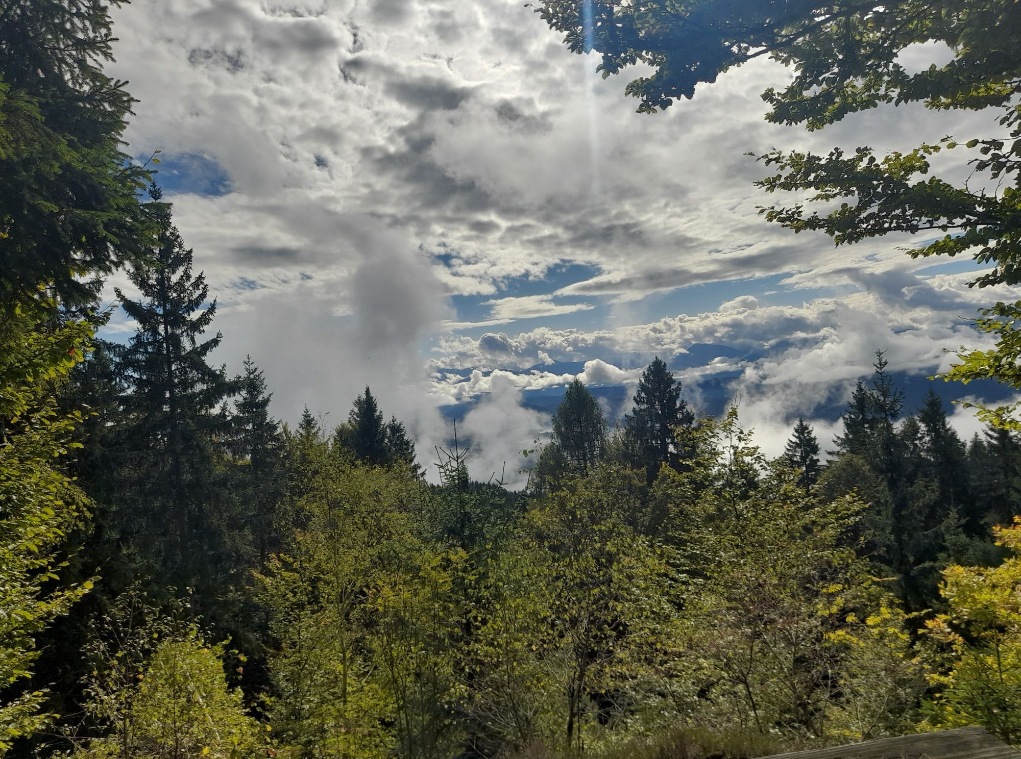
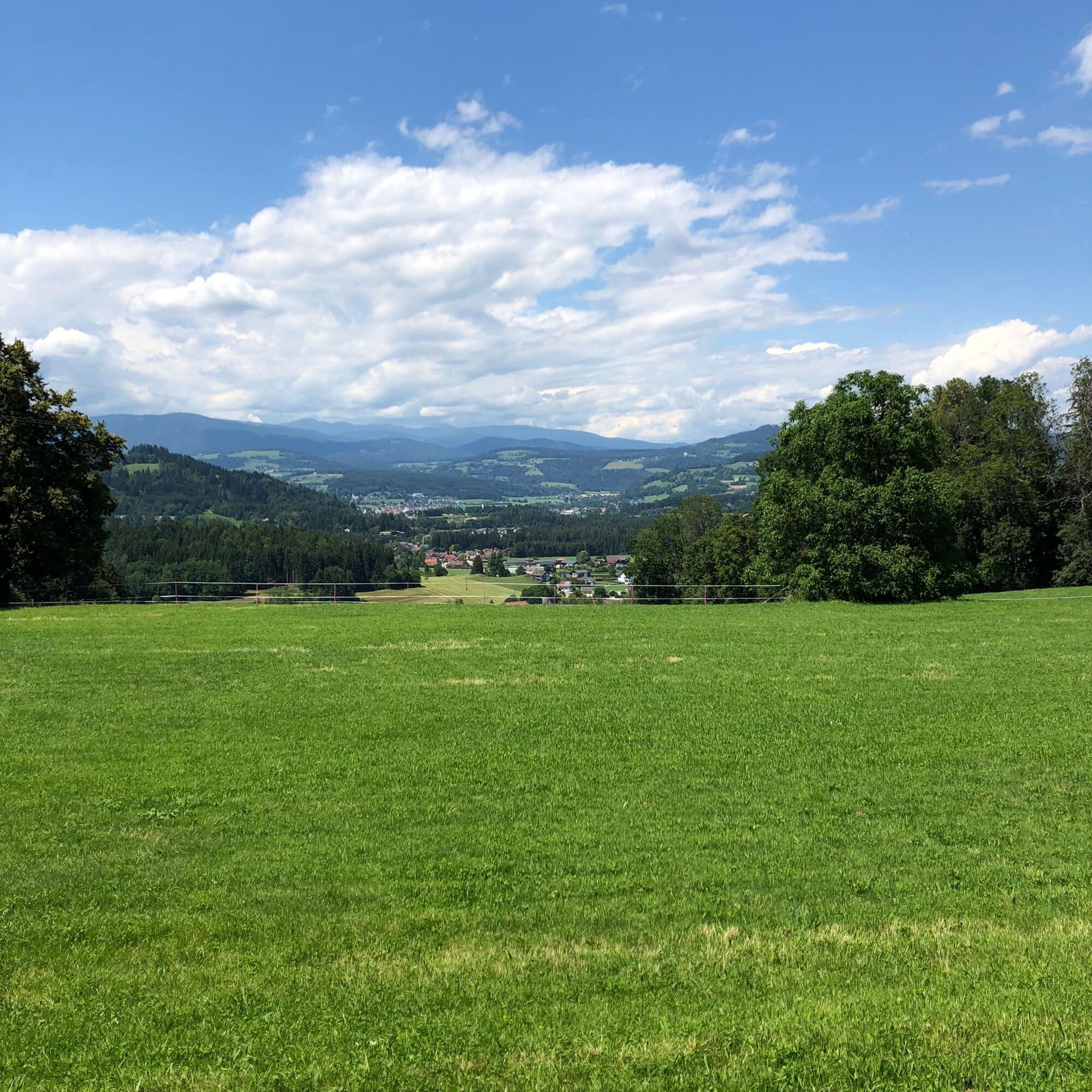
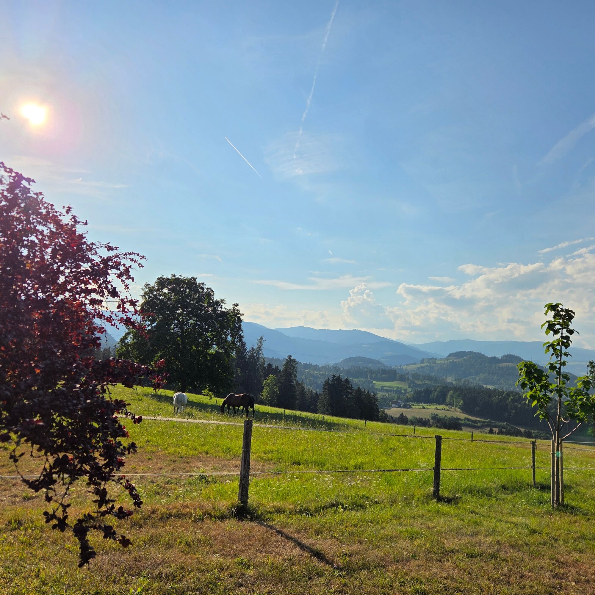
Time and again, small clearings and open spots offer views of the surrounding landscape. Along the way, you’ll enjoy, among other things, a beautiful view of the Pollenitz River, the Feldkirchen area, and the gently rolling landscape of Central Carinthia.
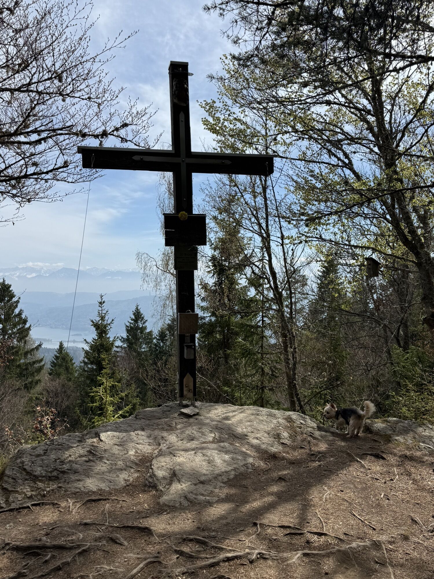
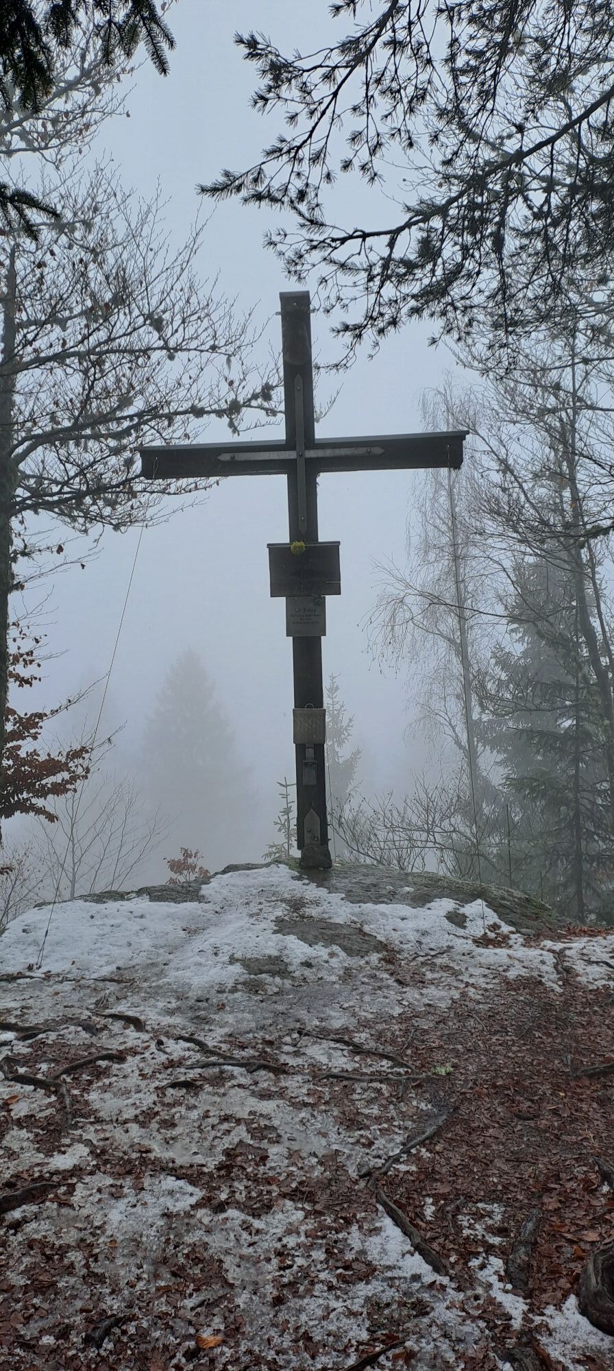
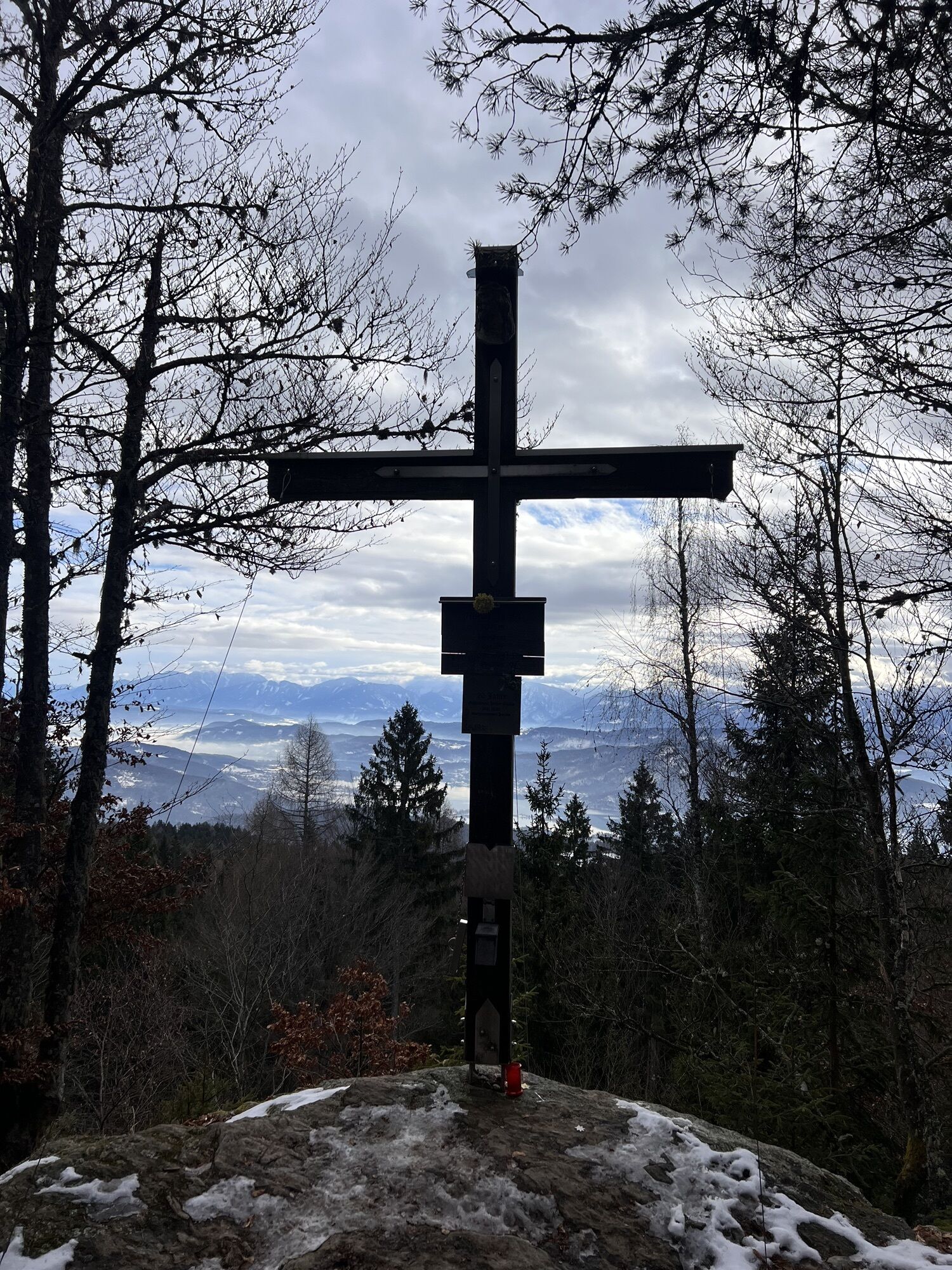
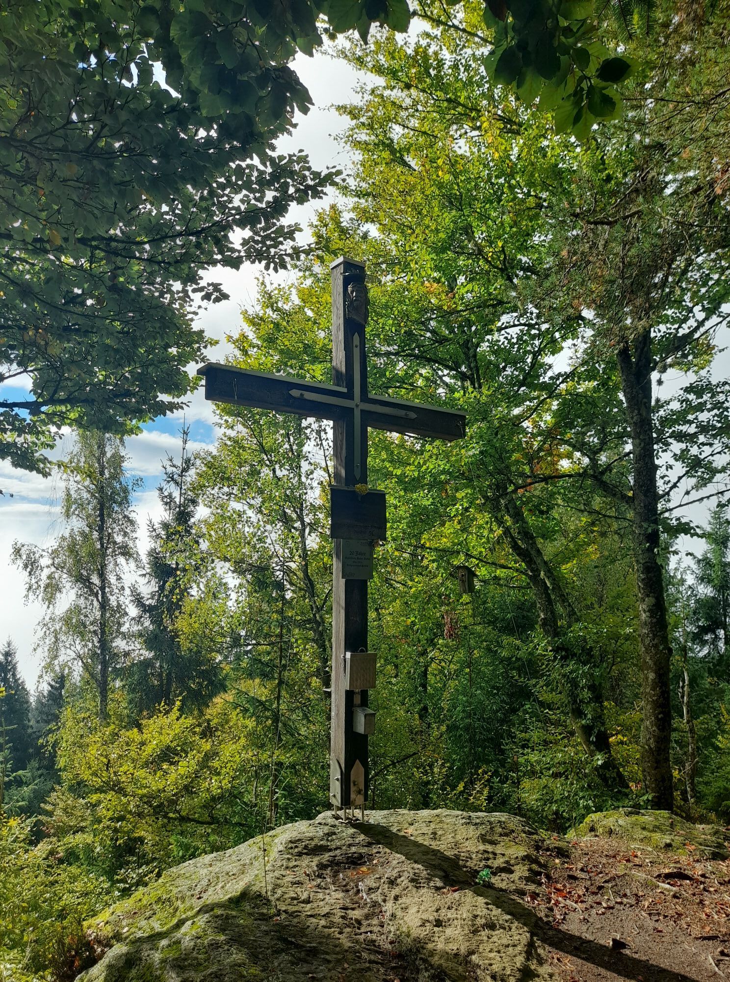
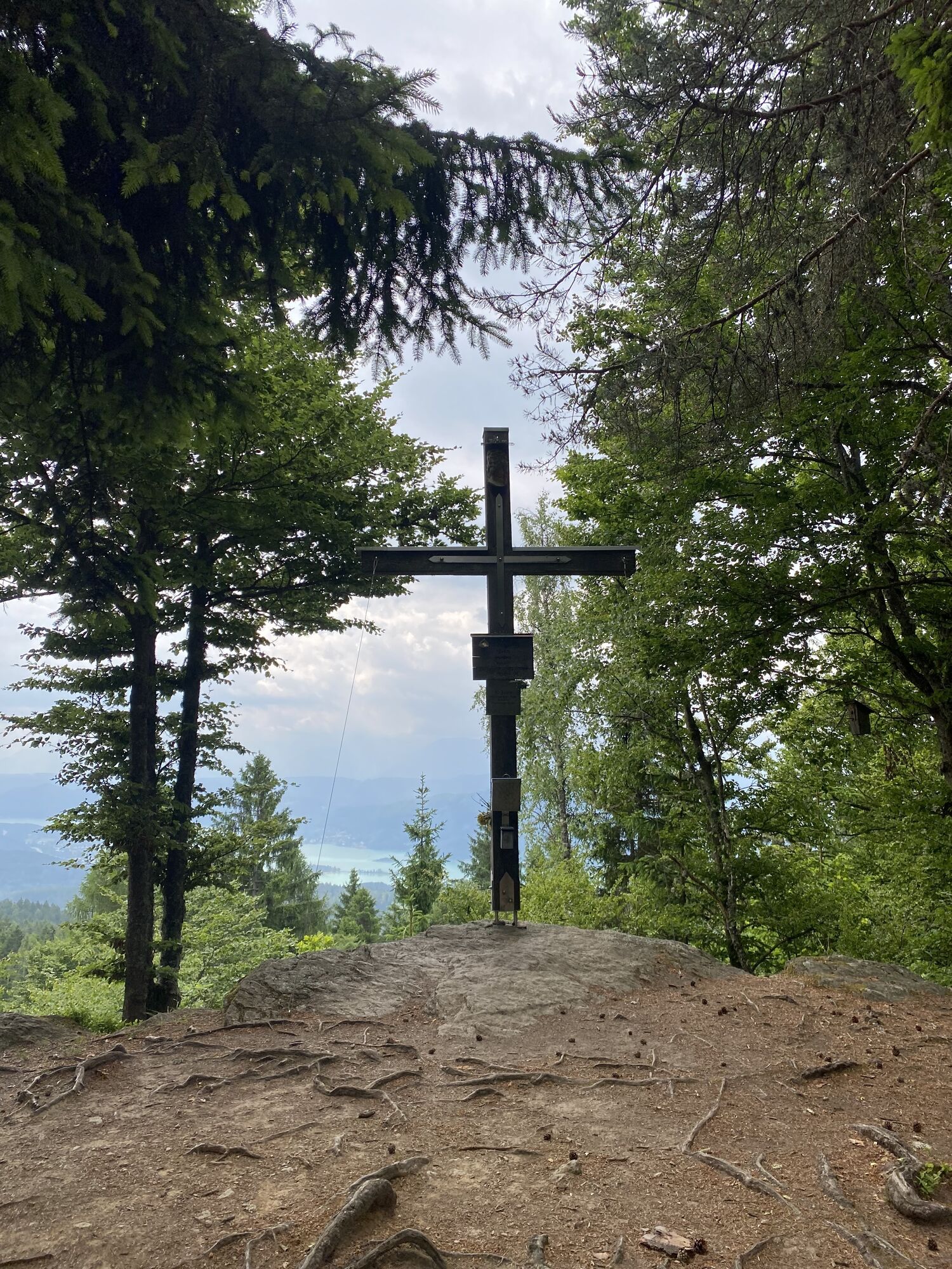
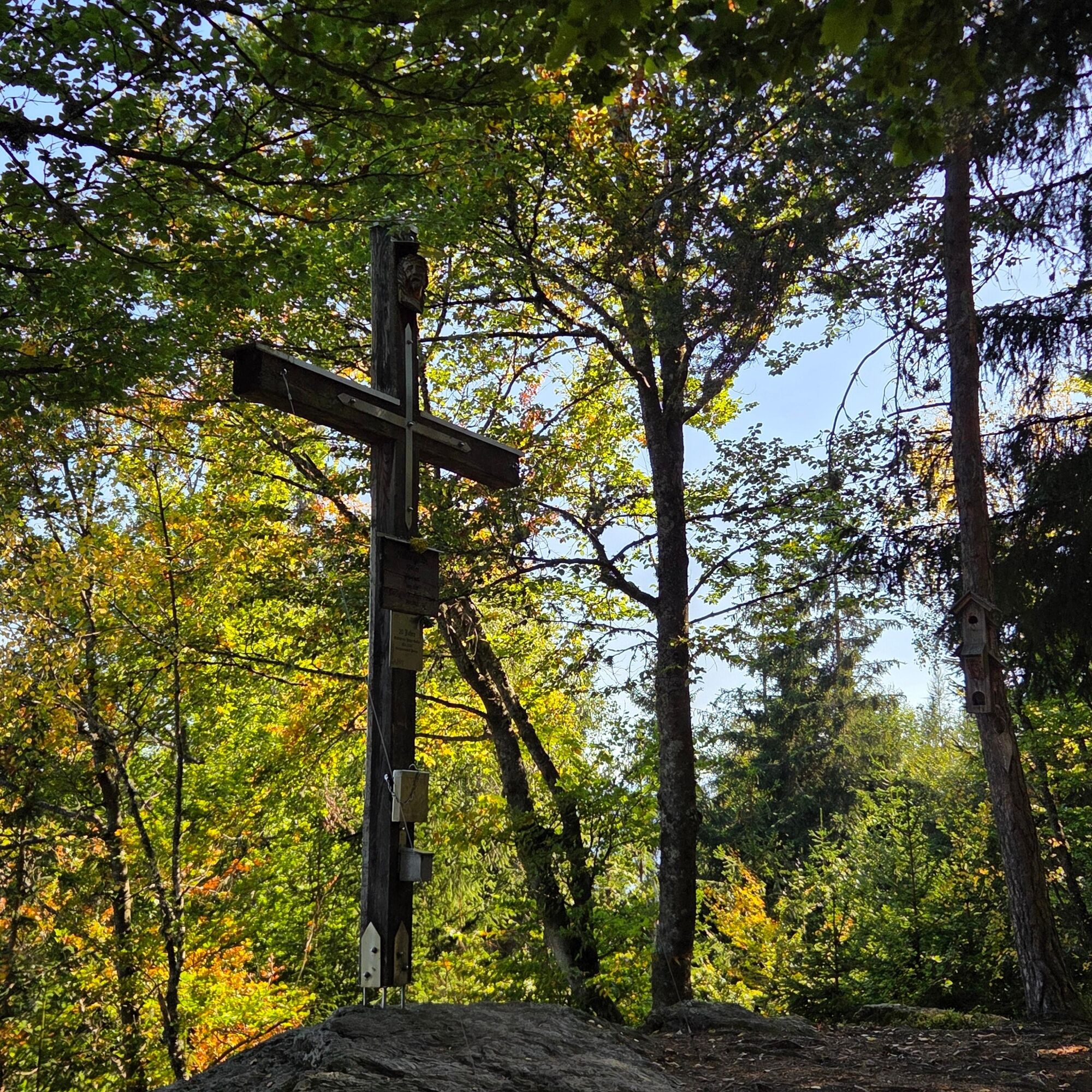
At the summit of the Hoher Gallin, at about 1,045 meters above sea level, a beautiful summit cross awaits, along with a summit logbook and places to sit. The reward for the climb is an impressive panoramic view over Lake Wörthersee and the Klagenfurt Basin all the way to the striking Karawanken Mountains.
For the return trip, you generally follow the same route back to Oberglan. Please note: There are several route options along the return path. Therefore, be sure to follow the signage or the recorded GPS track and choose the correct route back to Oberglan.
Alternatively, the hike can be continued toward Moosburg or Techelsberg. In this case, however, you’ll need to arrange for transportation back before starting the hike.
Tak
Tak
In addition to carefully studying guidebooks and maps, having the right gear is essential for a successful hike. Basic gear includes:
sturdy, well-fitting hiking boots with grippy treads
Water- and wind-resistant hiking clothing worn in layers, hiking poles
sunglasses, sunscreen
a cell phone and a hiking map
a first-aid kit
Enough to drink and a snack
Emergency number in case of an accident in Austria:
140 Alpine Emergency Service 144 Emergency Rescue 112 European Emergency Number (accessible from all networks. Turn off your cell phone and, after turning it back on, dial “112” instead of entering your PIN)Take the X2 bus (express bus Feldkirchen–Klagenfurt) to the Oberglan stop. From the bus stop, it’s about 300 meters to the starting point of the hike.
Return trip on the same line (401 / X2 from Klagenfurt) to Feldkirchen.
T2
For more information and hiking maps, please contact the Feldkirchen Tourist Office, Amthofgasse 3, 9560 Feldkirchen, Carinthia; Tel.: +43 4276/2176; Email: tourismus@feldkirchen.at; Website: www.tourismus.feldkirchen.at
Uzyskaj wgląd
Zawsze na żywo z ponad 9 500 kamer internetowych. bergfex Jako użytkownik Pro, możesz teraz zobaczyć odpowiednie kamery internetowe dla wielu wycieczek w aplikacji wycieczki od. Pozwala to na bezpośredni podgląd aktualnych warunków.


Popularne wycieczki w okolicy
-
5,0
Wörthersee EXTREM
ciężkiWędrówka 60,1 km -
4,6
Pyramidenkogel path Maria Wörth
średniWędrówka 10,8 km -
4,5
Hoher Gallin route
średniWędrówka 7,09 km -
4,4
Lake Wörthersee Circular Route
średniJazda na rowerze 41,2 km -
4,4
Finsterbach Waterfalls - Circular route
średniWędrówka 3,87 km -
4,7
Zillhöhe
średniBieganie 7,94 km -
4,7
Vierbergelauf
średniTrasa pielgrzymki 47,6 km -
4,6
Pyramidenkogelweg Schiefling
średniWędrówka 8,41 km -
4,1
Slow Trail Bleistätter Moor (Variant A)
światłoWędrówka 7,22 km -
4,0
Lake Ossiacher See cycle path – R2 & R2A
średniJazda na rowerze 28,2 km

Wędrówki i tropienie


Nie przegap ofert i inspiracji na następne wakacje
Twój adres e-mail została dodana do listy mailingowej.





