


From Heiligenblut to Kaiser-Franz-Josefs-Höhe
Zdjęcia naszych użytkowników
-

 © Seitzer MichaelUtworzono dnia 14.08.2025
 -
 © Birgit ArbeiterUtworzono dnia 05.08.2025
 -

 © Rozi FriedmannUtworzono dnia 11.07.2025
 -
 © Rozi FriedmannUtworzono dnia 11.07.2025
 -
 © Rozi FriedmannUtworzono dnia 11.07.2025
 -
 © Fantom RoKUtworzono dnia 02.07.2025
 -
 © Fantom RoKUtworzono dnia 02.07.2025
 -
 © Fantom RoKUtworzono dnia 02.07.2025
 -
 © Fantom RoKUtworzono dnia 02.07.2025
 -
 © Fantom RoKUtworzono dnia 02.07.2025
 -
 © Fantom RoKUtworzono dnia 02.07.2025
 -
 © Fantom RoKUtworzono dnia 01.07.2025
 -
 © Fantom RoKUtworzono dnia 01.07.2025
 -
 © Fantom RoKUtworzono dnia 01.07.2025
 -
 © Stevie VerwonderdUtworzono dnia 14.06.2025
 -
 © Thomas PreuschlUtworzono dnia 14.06.2025
 -
 © Thomas PreuschlUtworzono dnia 14.06.2025
 -
 © Thomas PreuschlUtworzono dnia 14.06.2025
 -
 © Thomas PreuschlUtworzono dnia 14.06.2025
 -
 © Andre De MeulderUtworzono dnia 14.06.2025
 -
 © Andre De MeulderUtworzono dnia 14.06.2025
 -
 © Berthold AstegherUtworzono dnia 01.06.2025
 -
 © Berthold AstegherUtworzono dnia 01.06.2025
 -
 © Berthold AstegherUtworzono dnia 01.06.2025
 -
 © Berthold AstegherUtworzono dnia 01.06.2025
 -
 © Berthold AstegherUtworzono dnia 01.06.2025
 -
 © Berthold AstegherUtworzono dnia 01.06.2025
 -

 © thschoeUtworzono dnia 29.08.2024
 -
 © thschoeUtworzono dnia 29.08.2024
 -

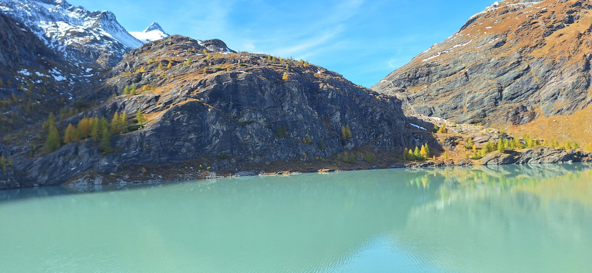
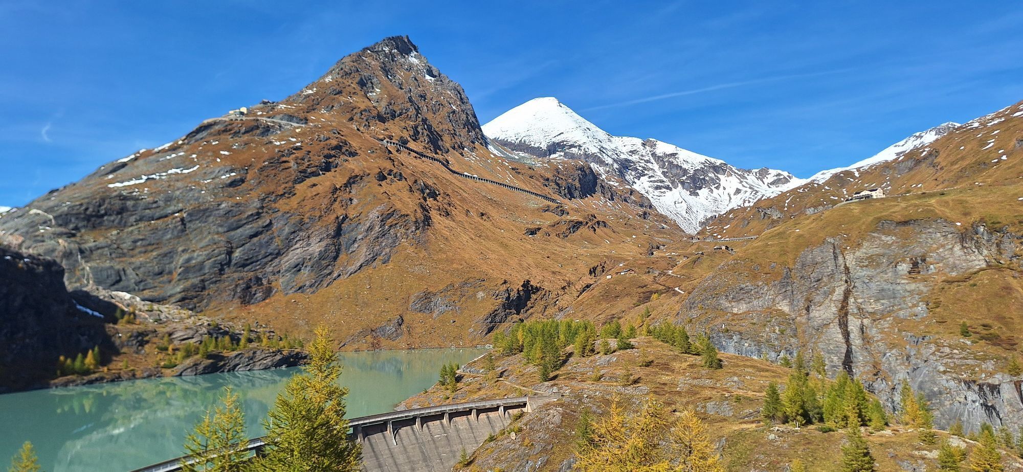
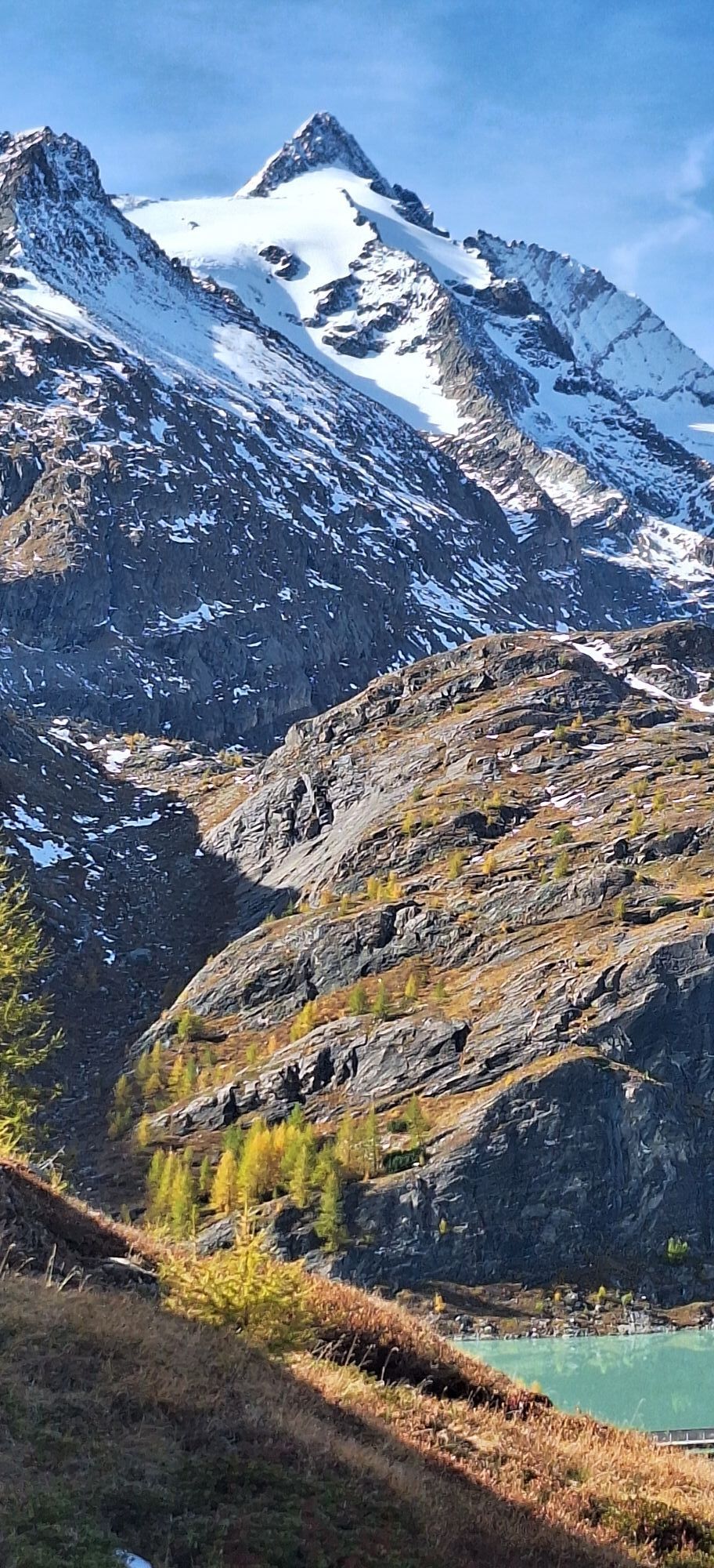
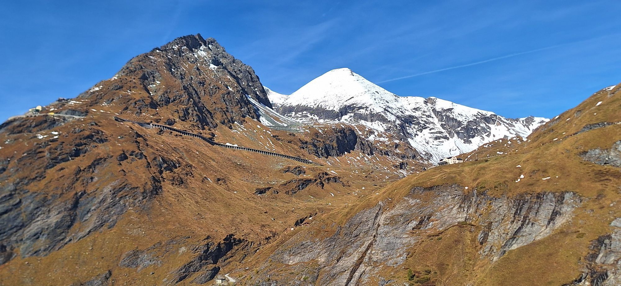
 © Manfred Pirker 1Utworzono dnia 11.10.2025
 -
 © Manfred Pirker 1Utworzono dnia 11.10.2025
 -
 © Manfred Pirker 1Utworzono dnia 11.10.2025
 -
 © Manfred Pirker 1Utworzono dnia 11.10.2025
 -
 © Manfred Pirker 1Utworzono dnia 11.10.2025
 -
 © Manfred Pirker 1Utworzono dnia 11.10.2025
 -
 © Manfred Pirker 1Utworzono dnia 11.10.2025
 -
 © Manfred Pirker 1Utworzono dnia 11.10.2025
 -
 © Manfred Pirker 1Utworzono dnia 11.10.2025
 -
 © Manfred Pirker 1Utworzono dnia 11.10.2025
 -

 © YojoUtworzono dnia 18.08.2025
 -
 © YojoUtworzono dnia 18.08.2025
 -

 © Heinz SperlUtworzono dnia 14.08.2025
 -
 © Joe PasiUtworzono dnia 30.07.2025
 -
 © Joe PasiUtworzono dnia 30.07.2025
 -
 © Marianne UnterrainerUtworzono dnia 20.07.2025
 -
 © Heinz SperlUtworzono dnia 14.08.2024
 -
 © Heinz SperlUtworzono dnia 18.08.2023
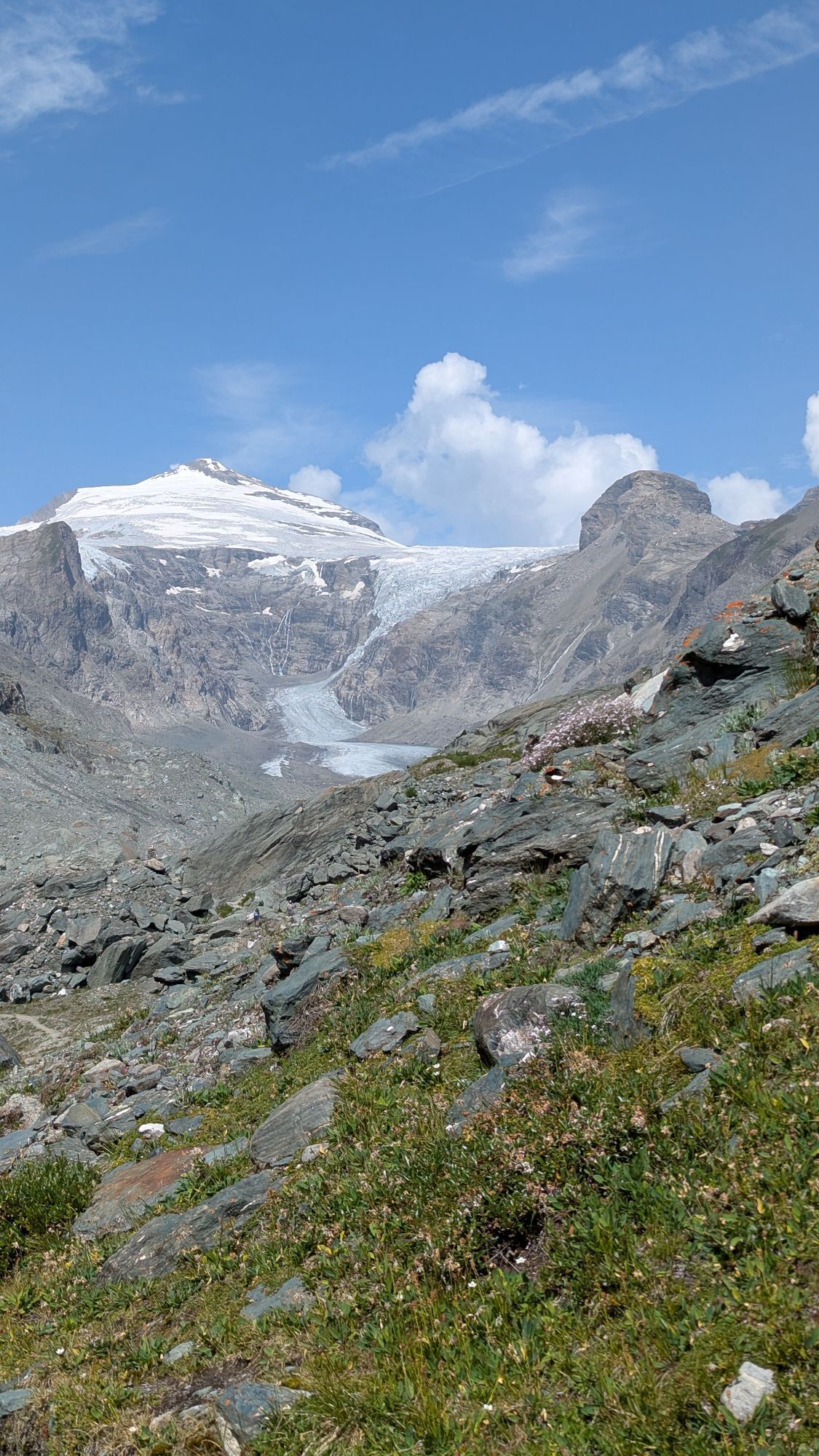


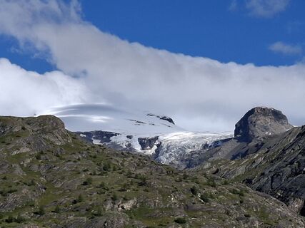
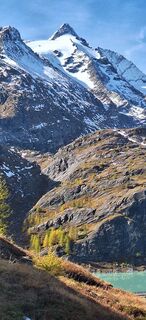
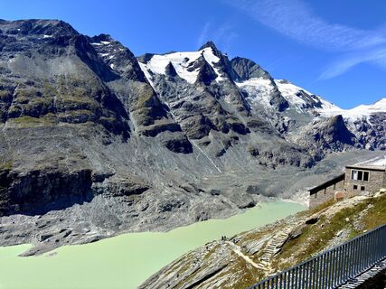
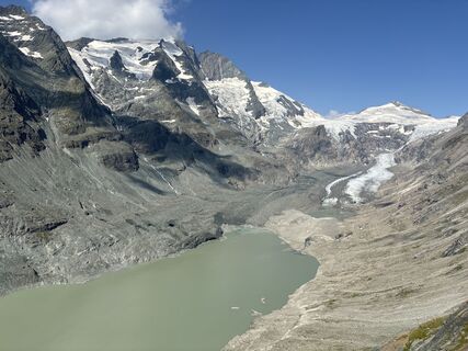
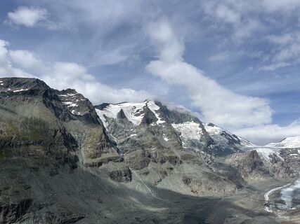
"From Heiligenblut to the northern polar circle" - that could be the motto of this hike. Although northern lights are rarely seen here (last time in 1938), the attentive hiker will notice that within one...
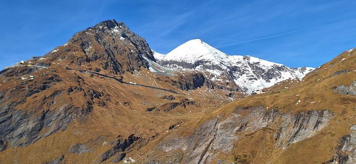
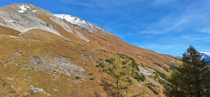
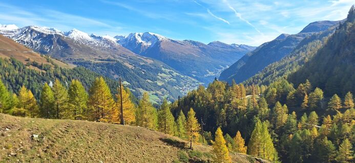
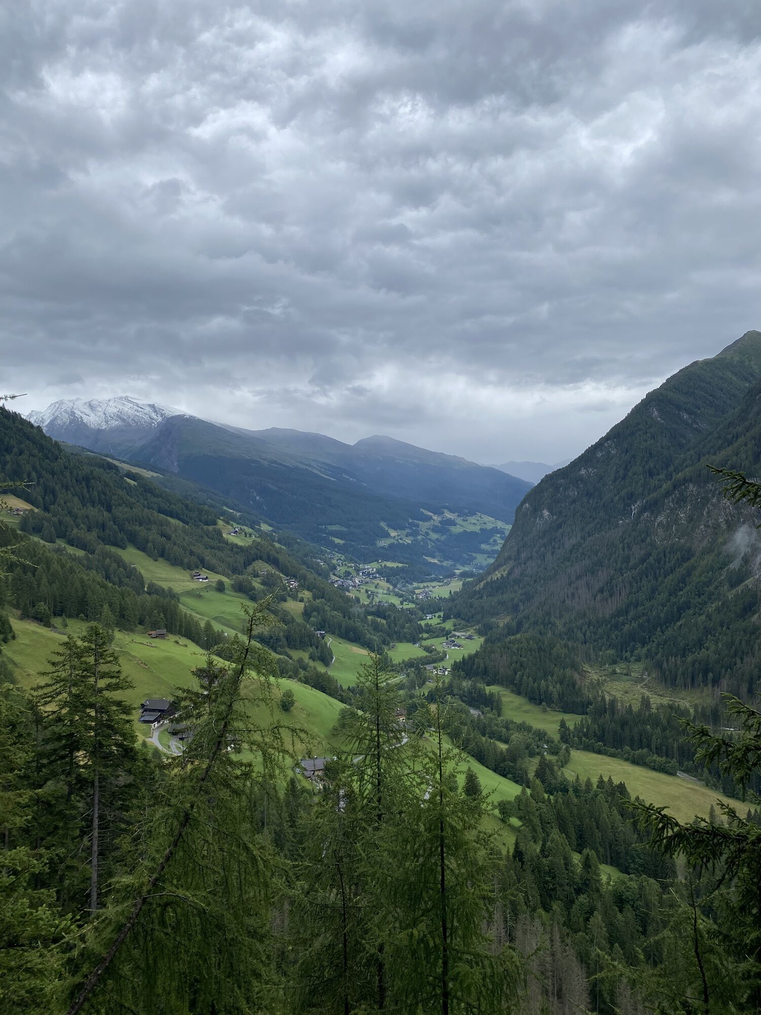
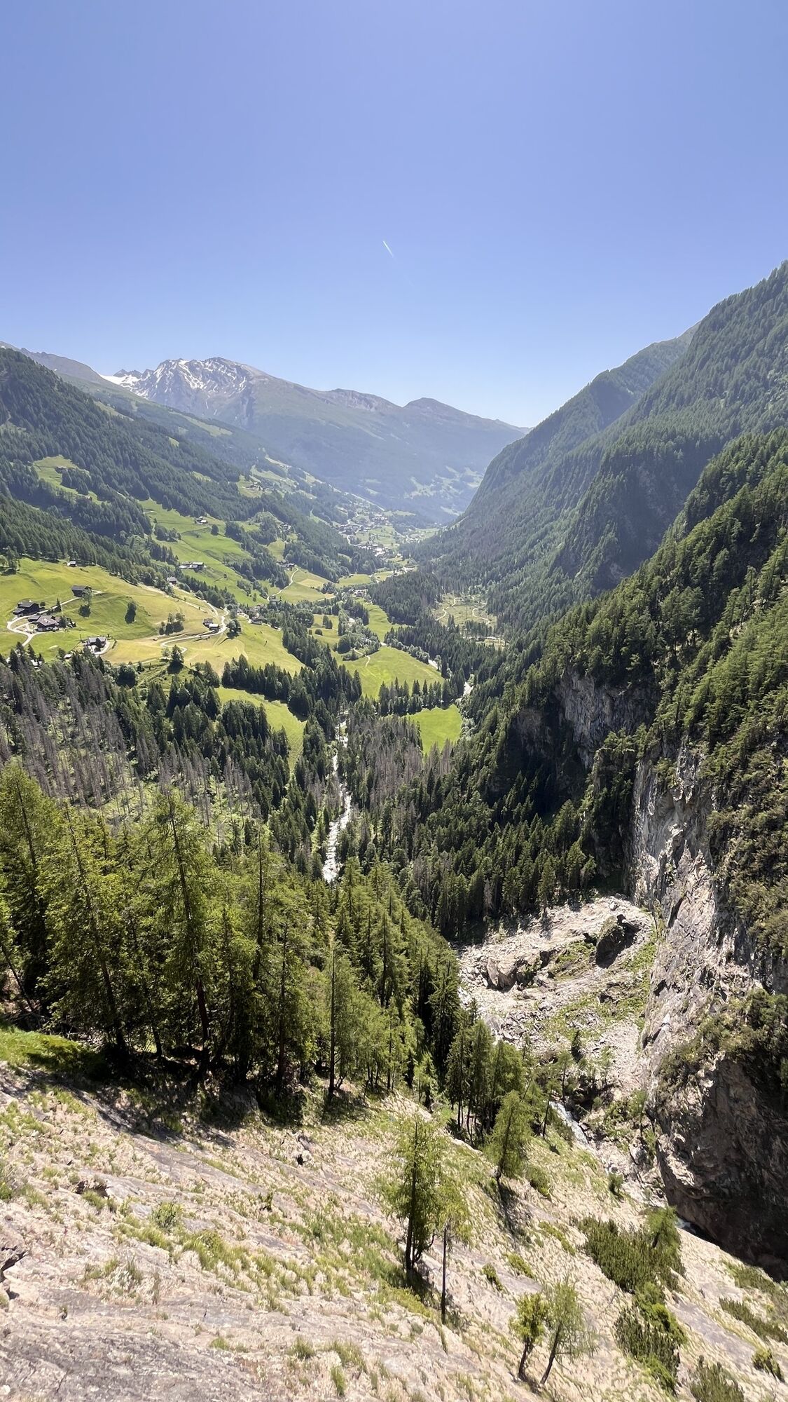
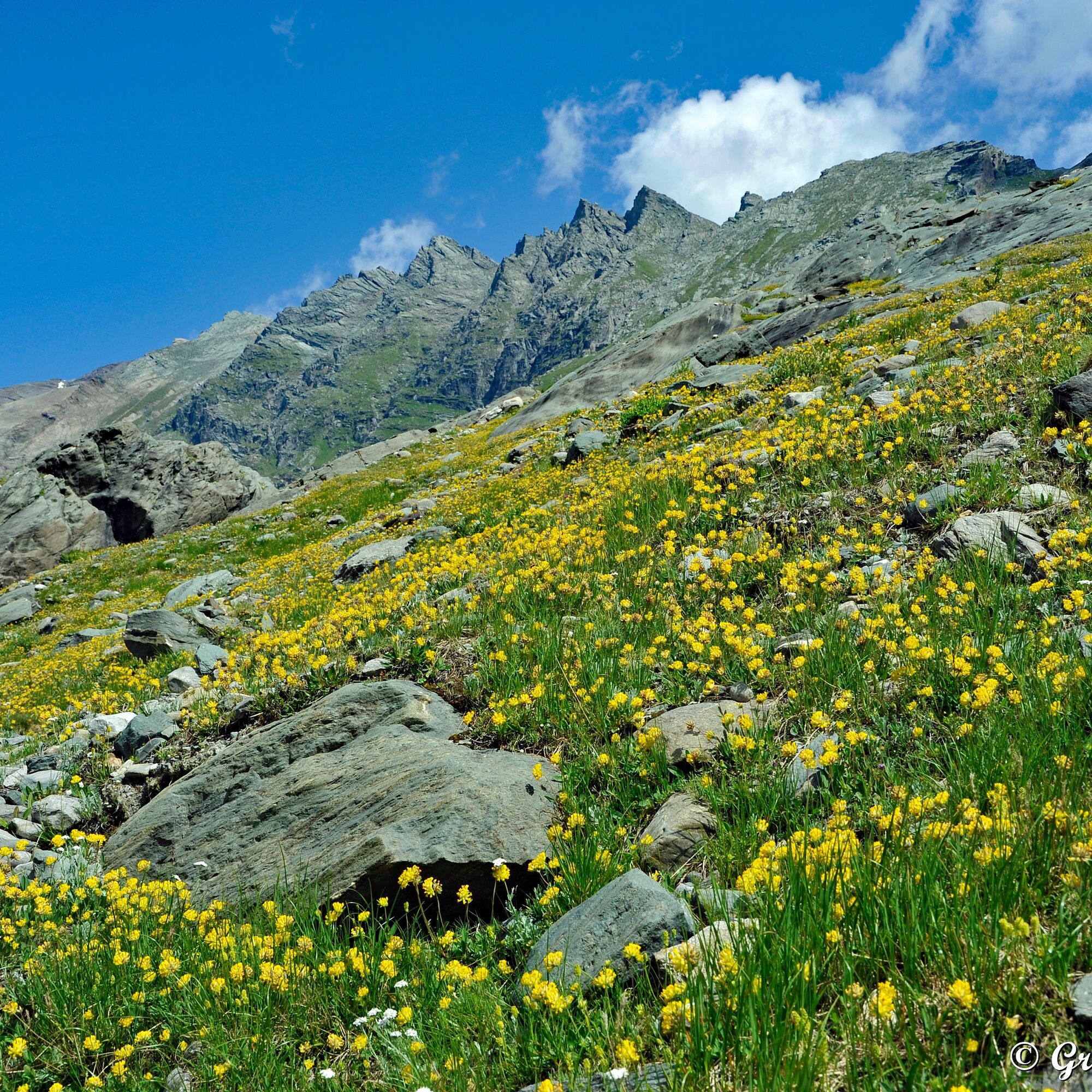
"From Heiligenblut to the northern polar circle" - that could be the motto of this hike. Although northern lights are rarely seen here (last time in 1938), the attentive hiker will notice that within one day many different vegetation stages can be passed through, thus experiencing a journey all the way to the tundra.
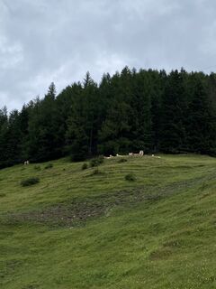
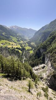
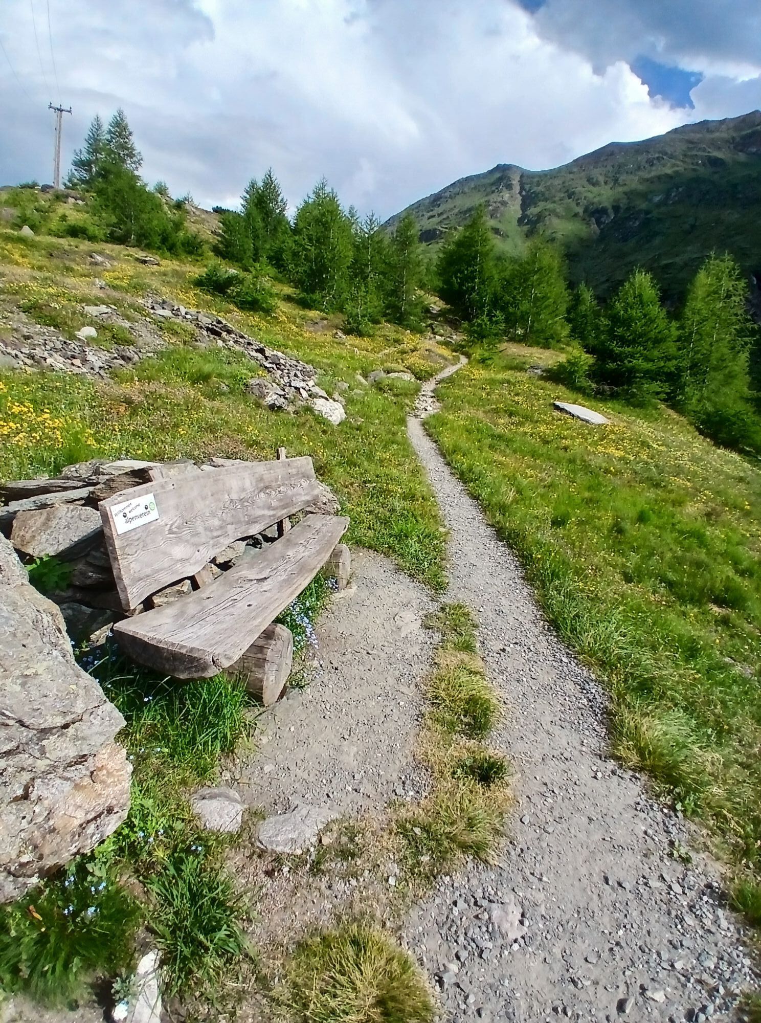
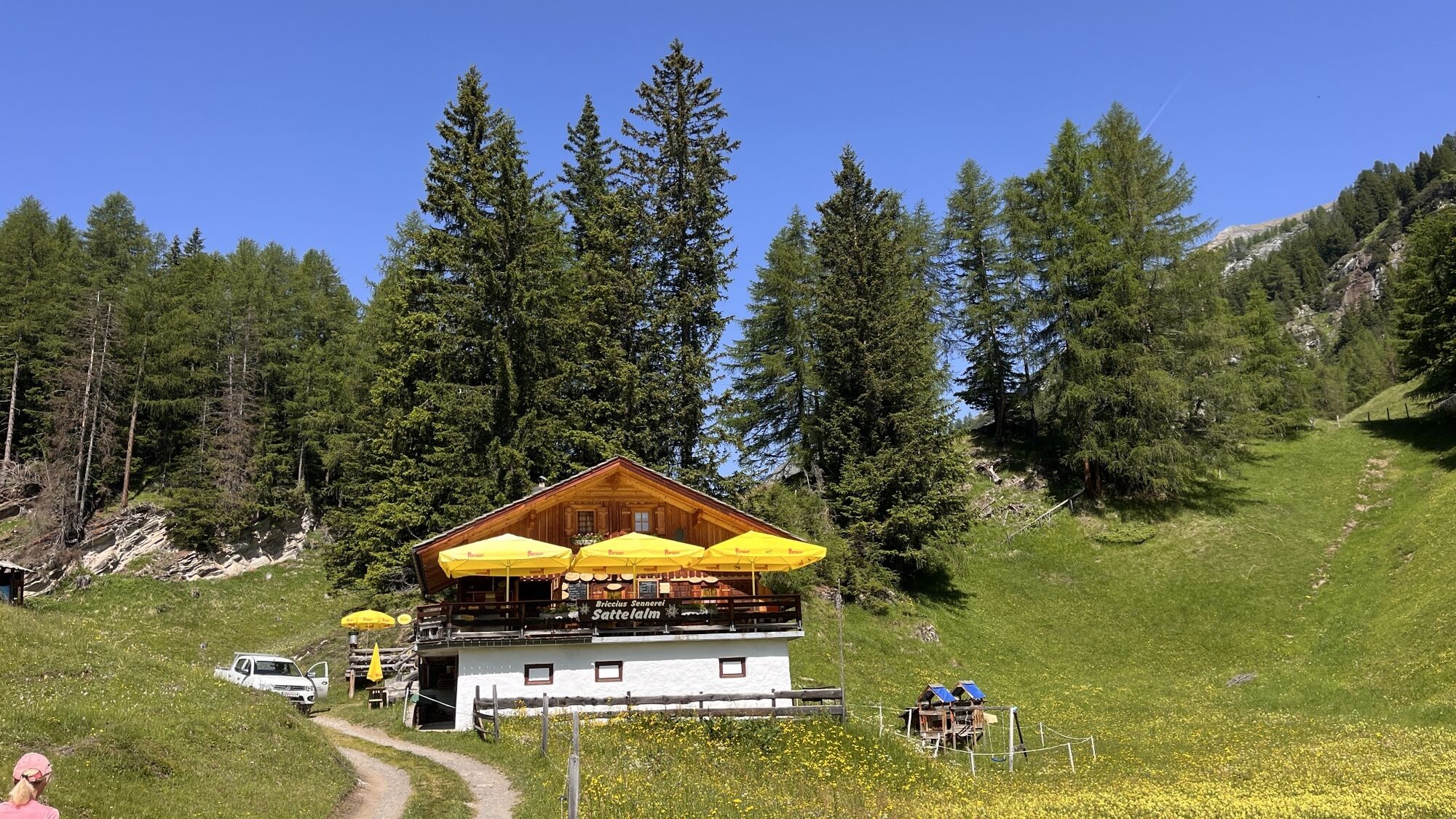
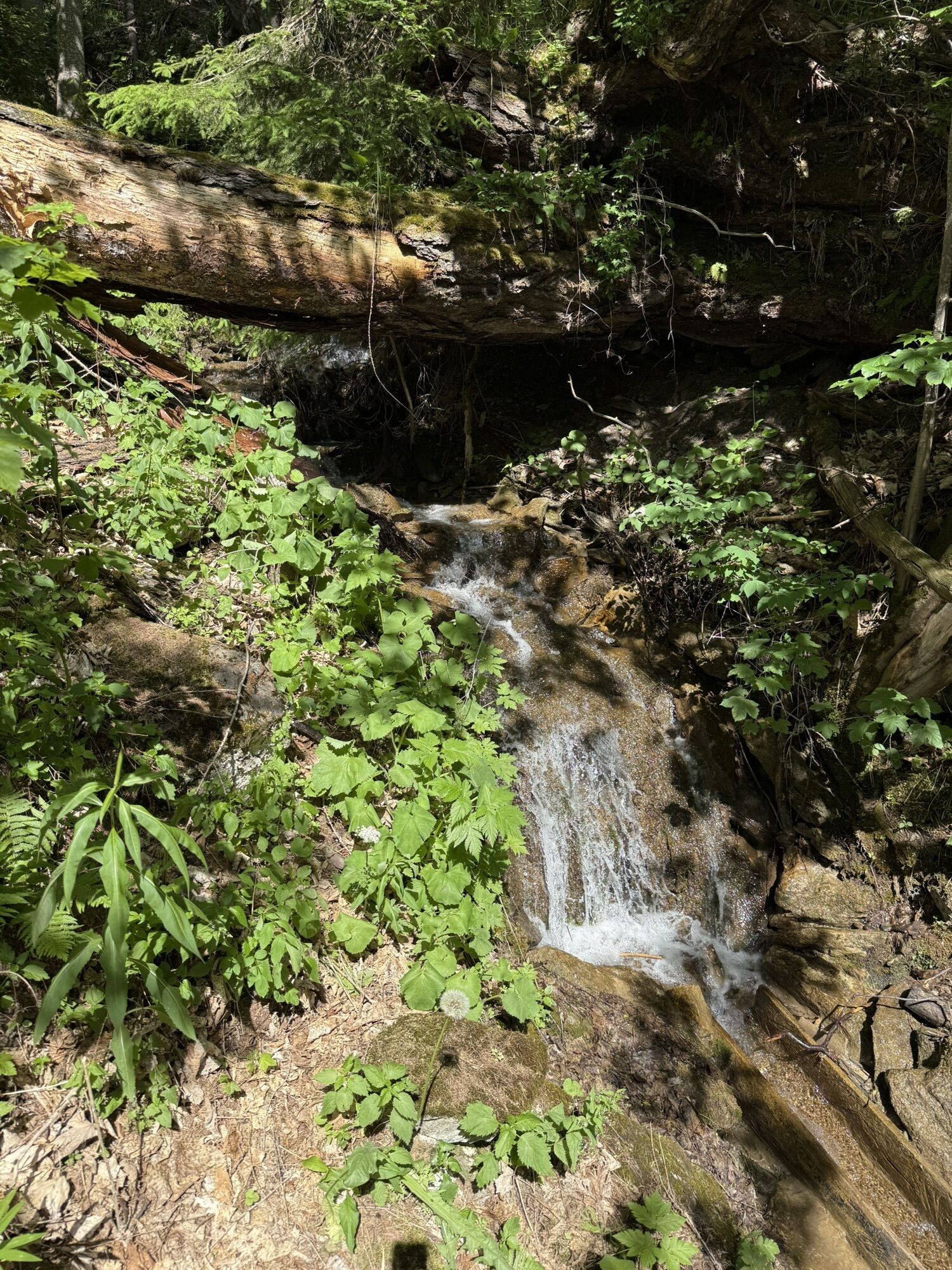
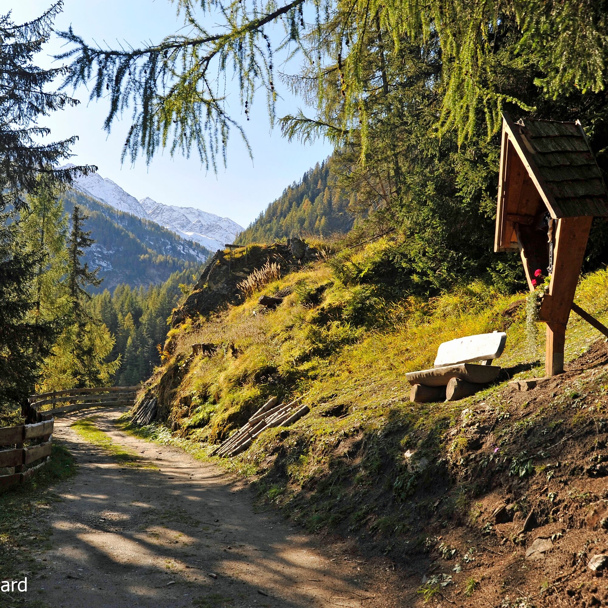
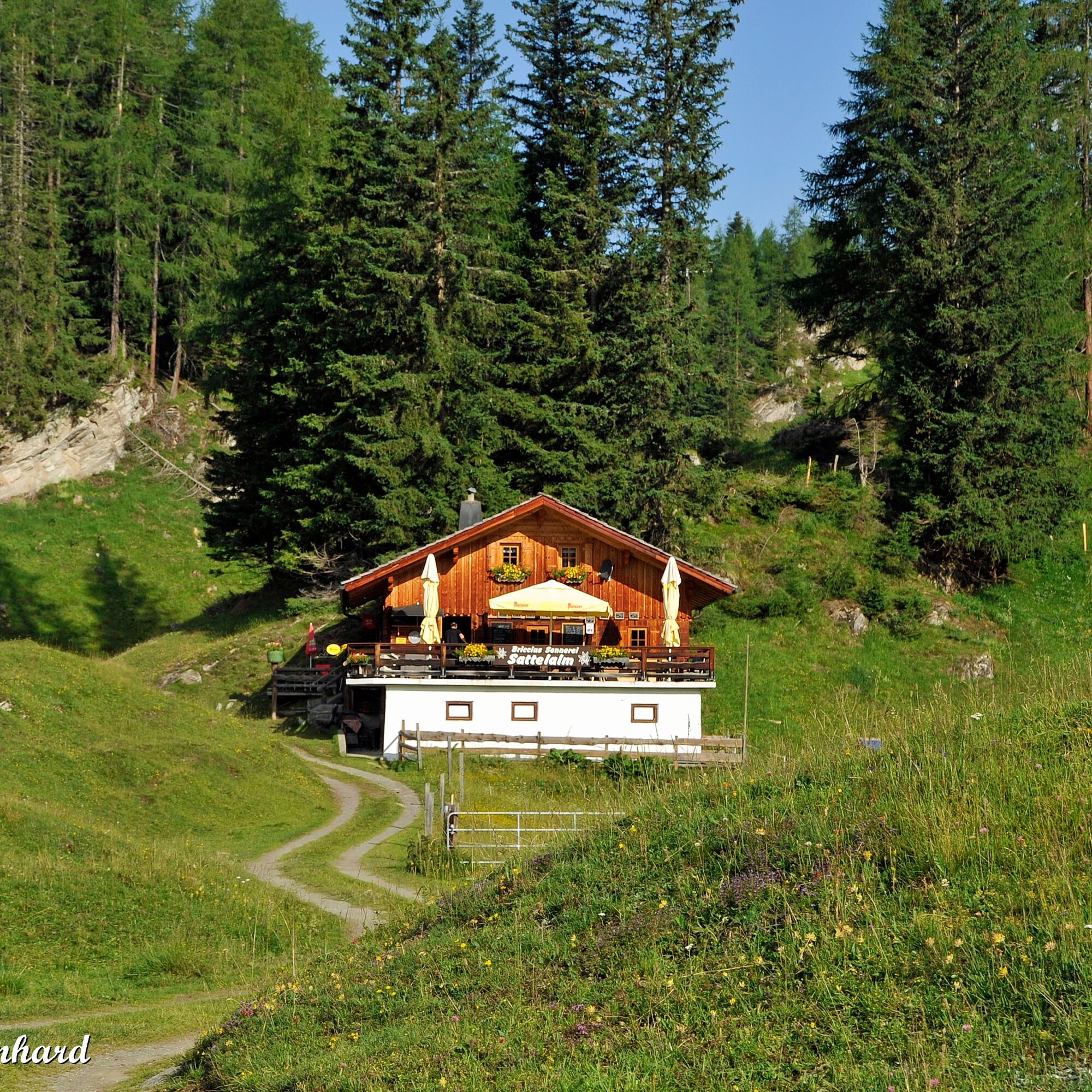
An observation for which participants of the famous Grossglockner mountain run, which takes place annually on this route, will probably find as little time as for a stop at the Sattelalm. The Briccius Chapel, the Leiter waterfall, the glacier... - afterwards it will be hard to decide what was really the highlight of this hike. More varied and beautiful, a journey to the far north could hardly be.

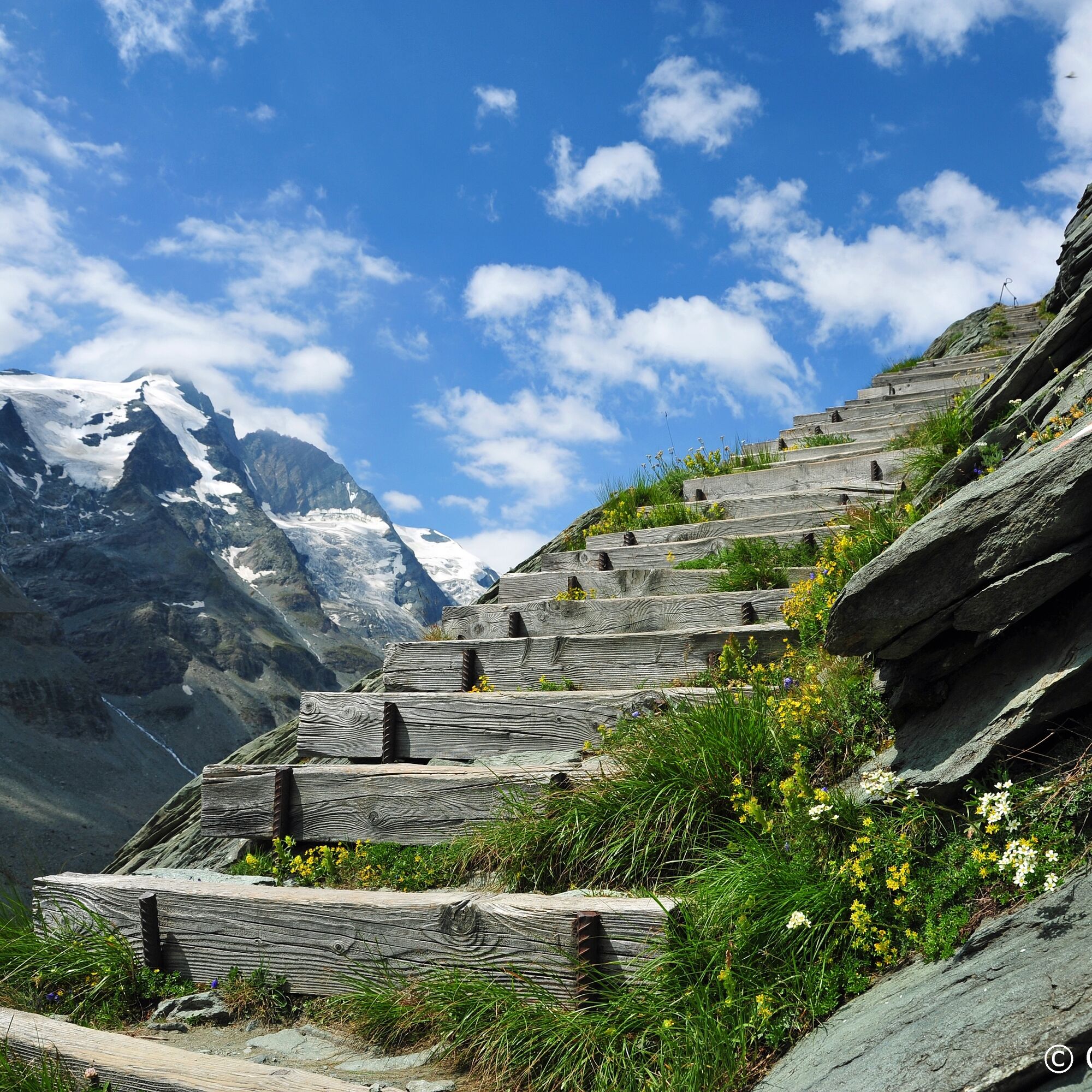
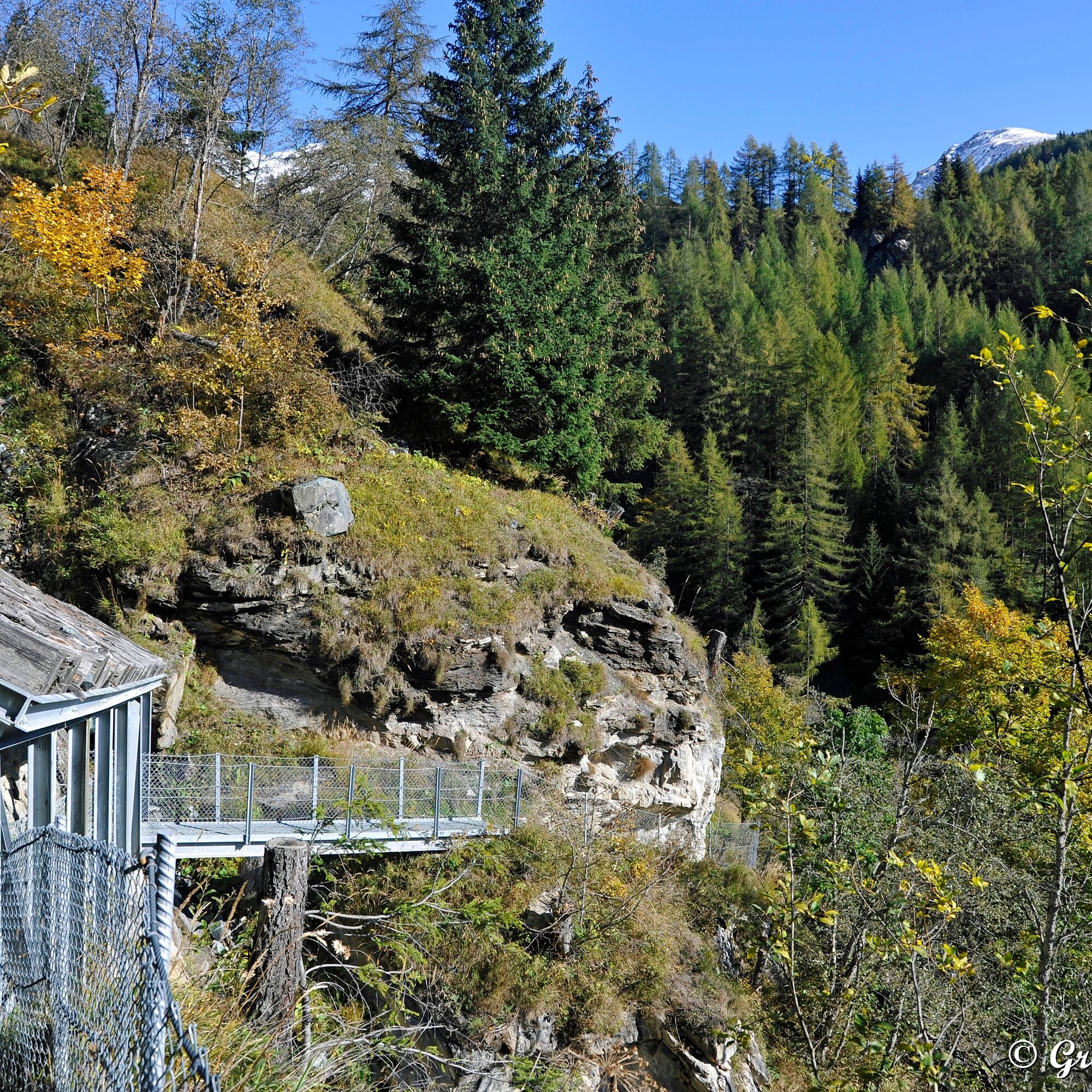
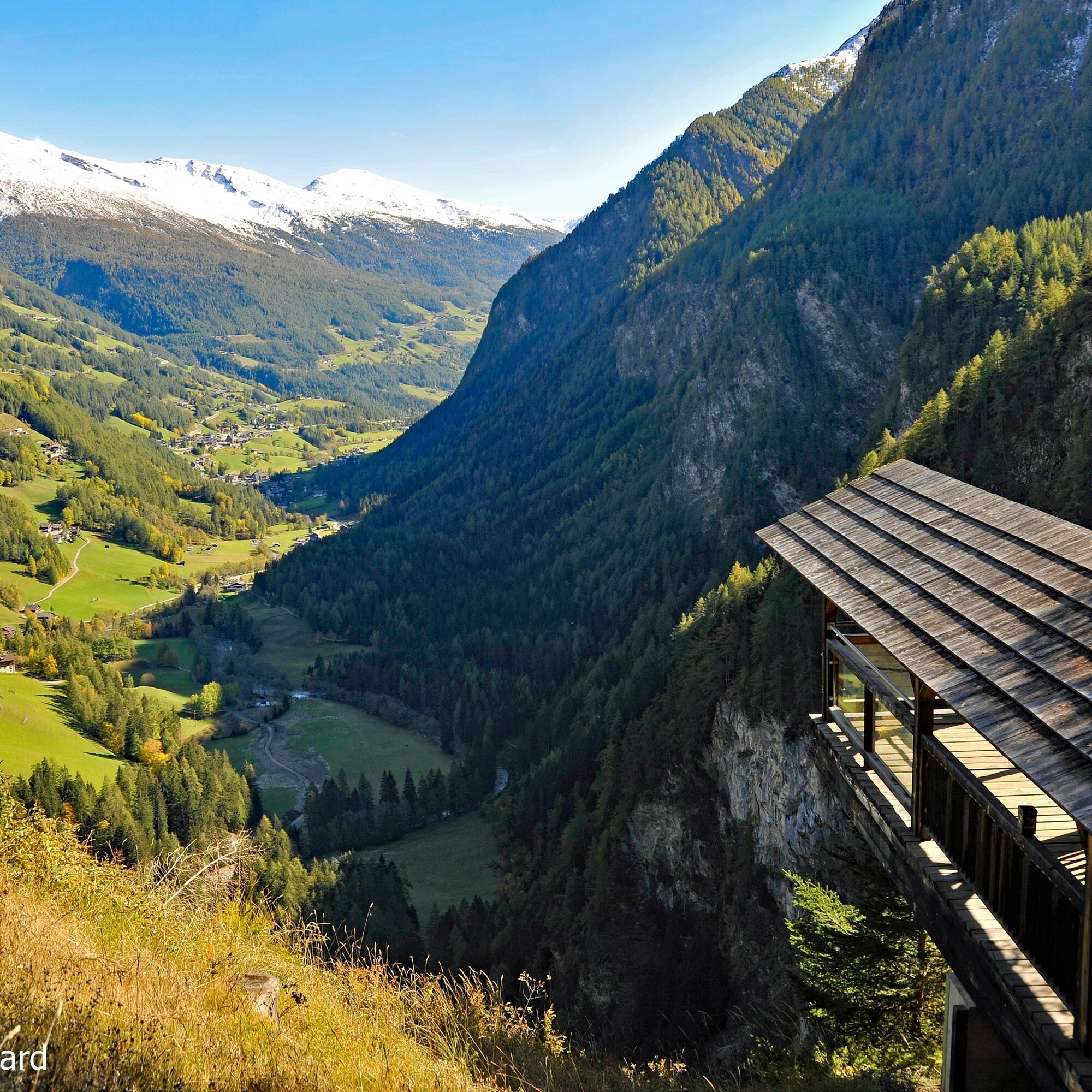
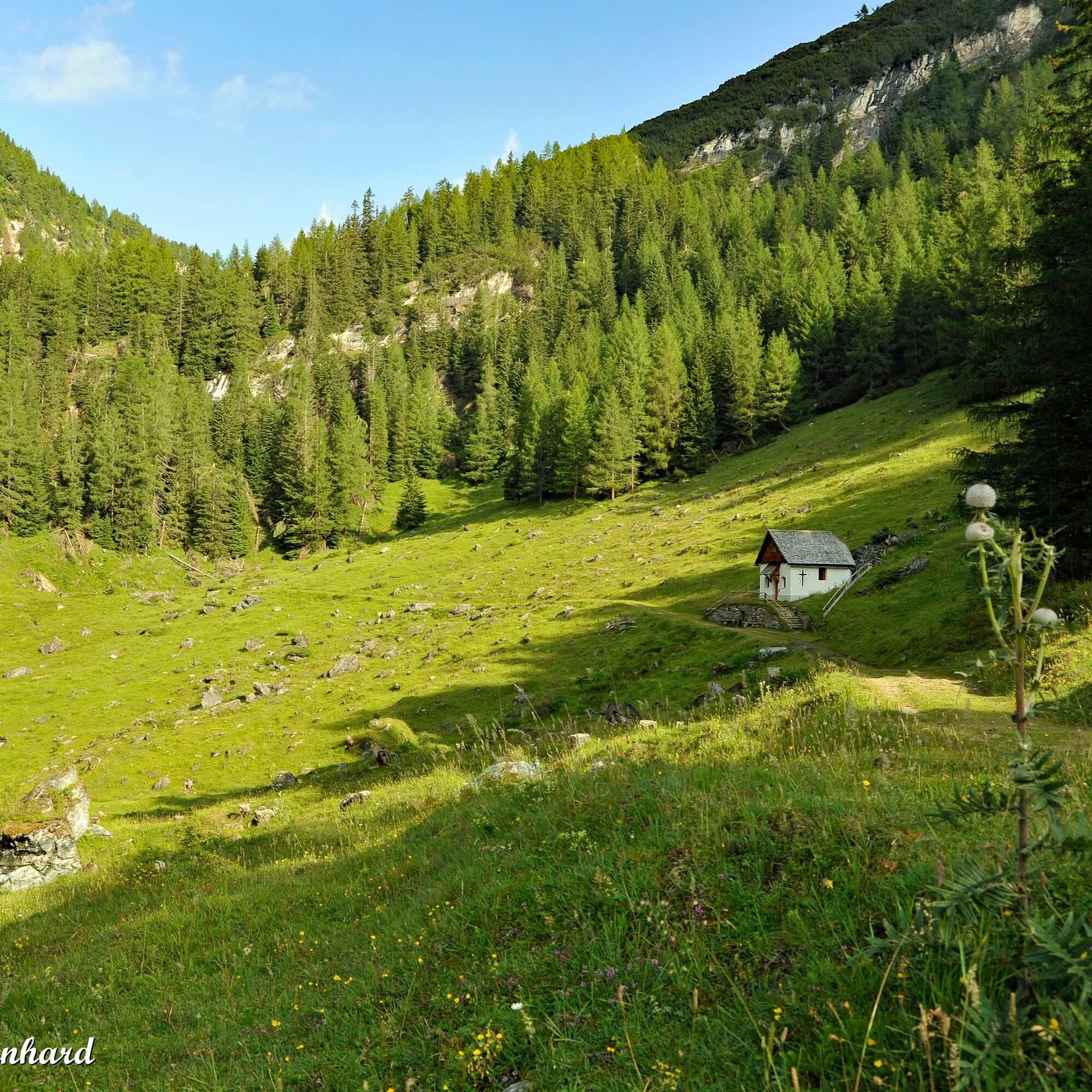
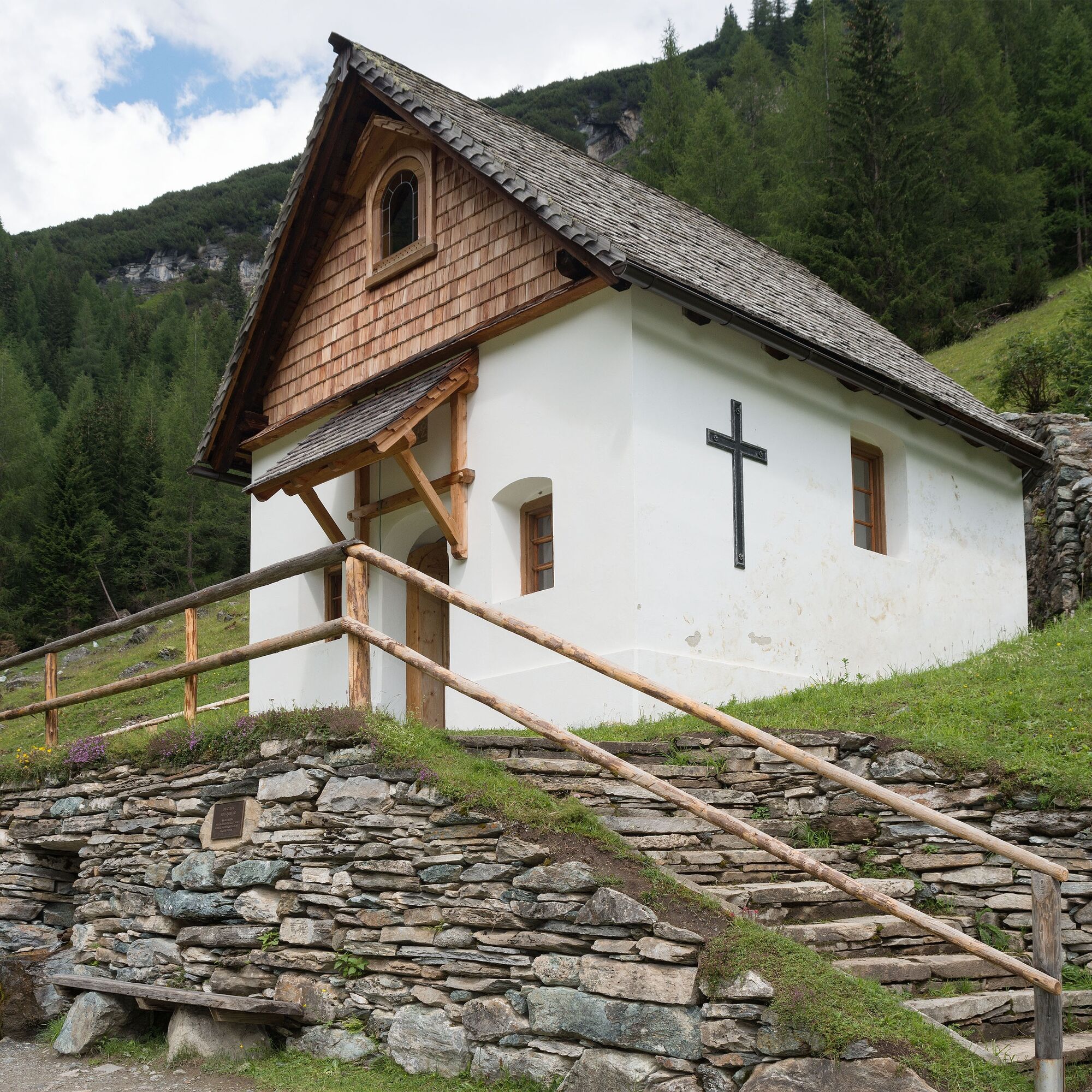
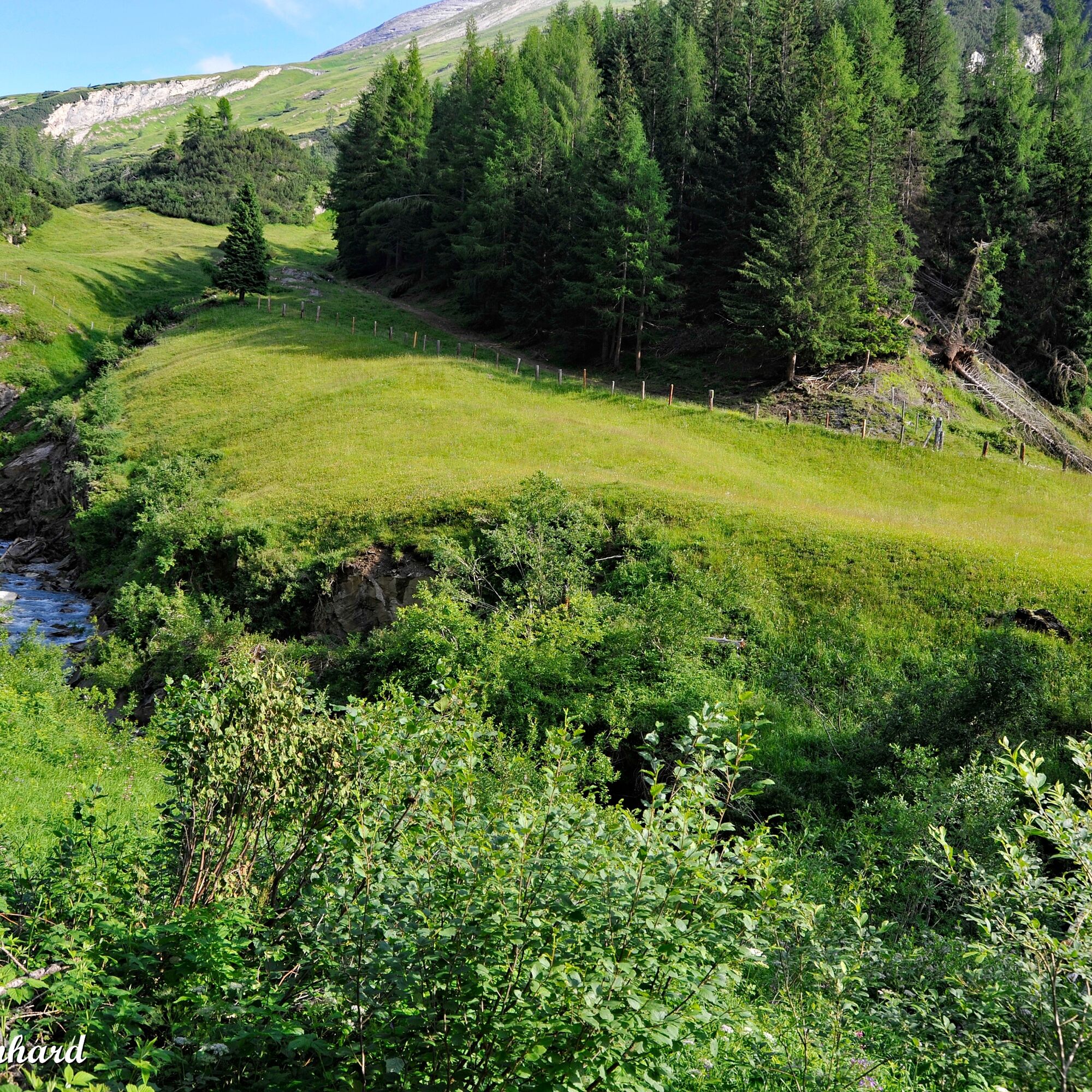
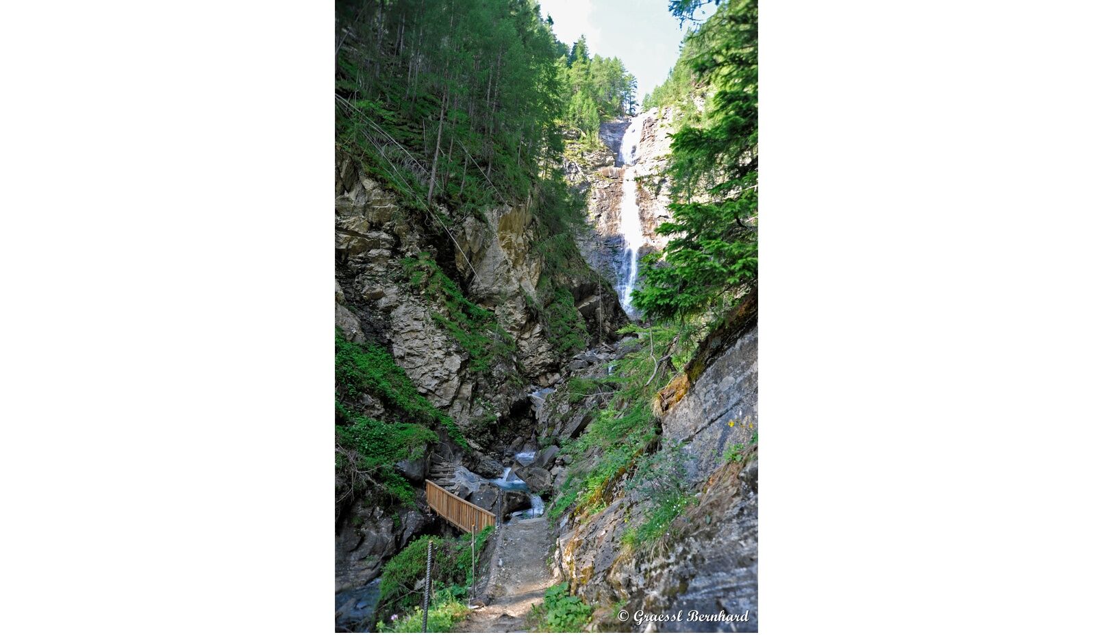
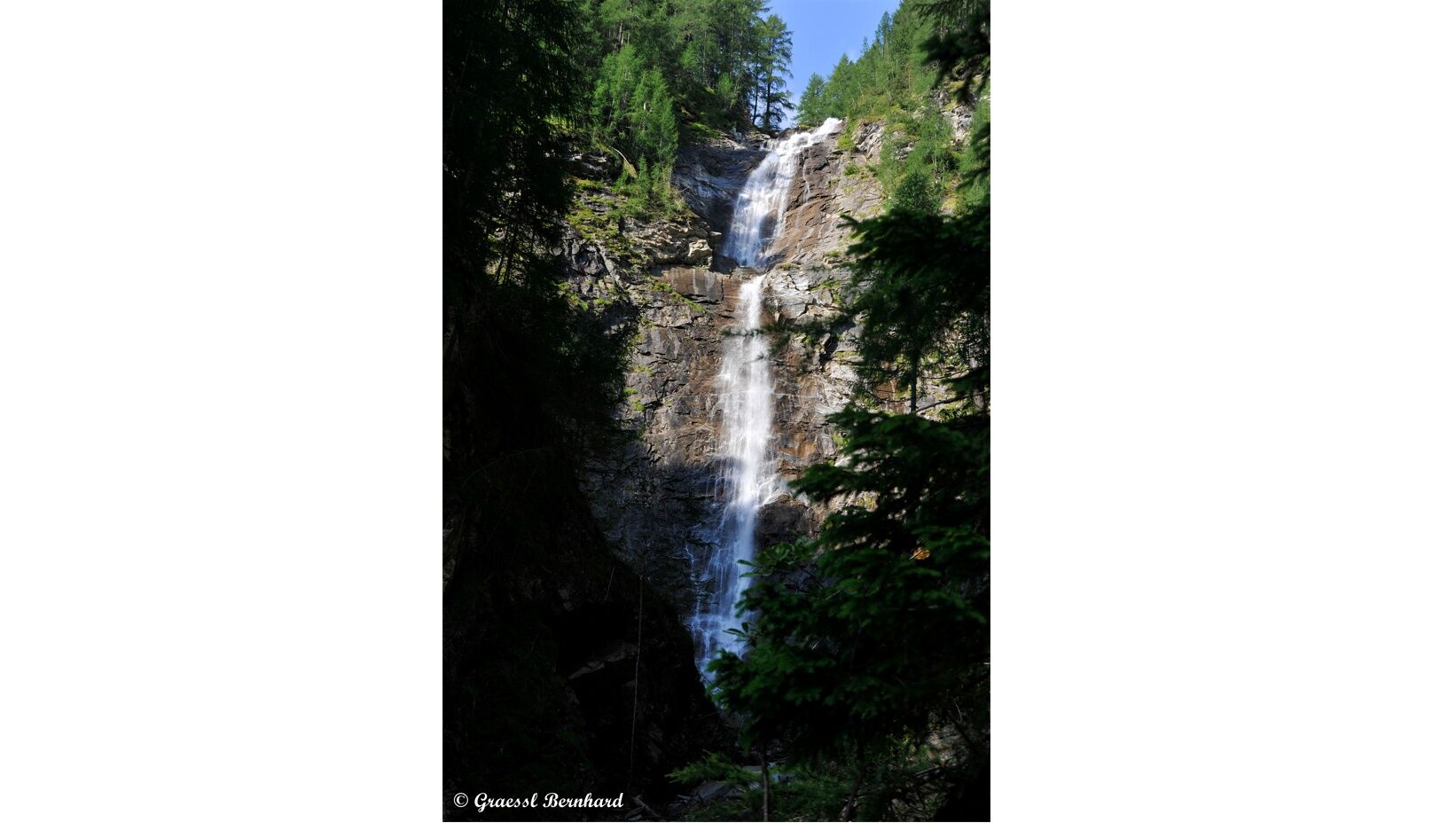
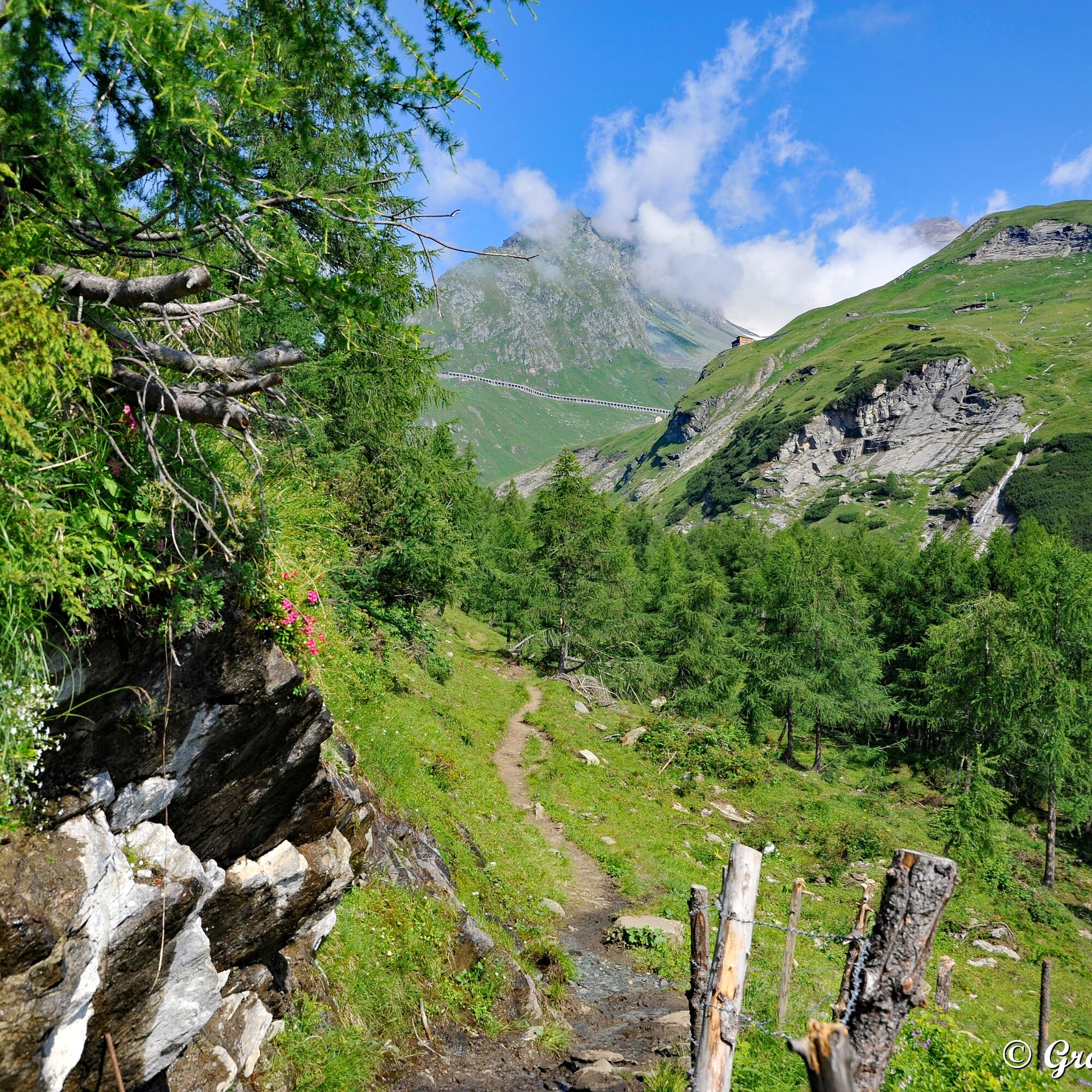
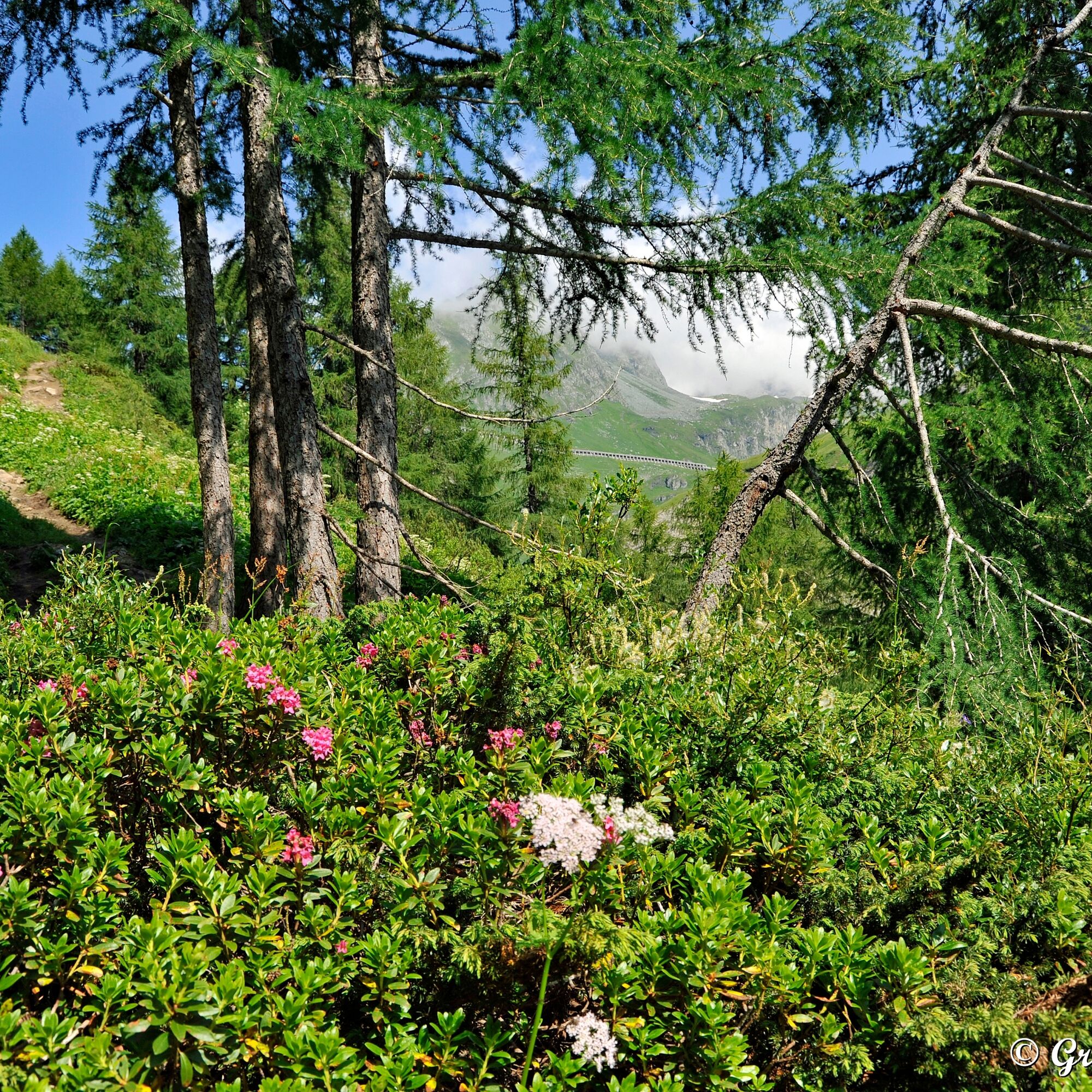
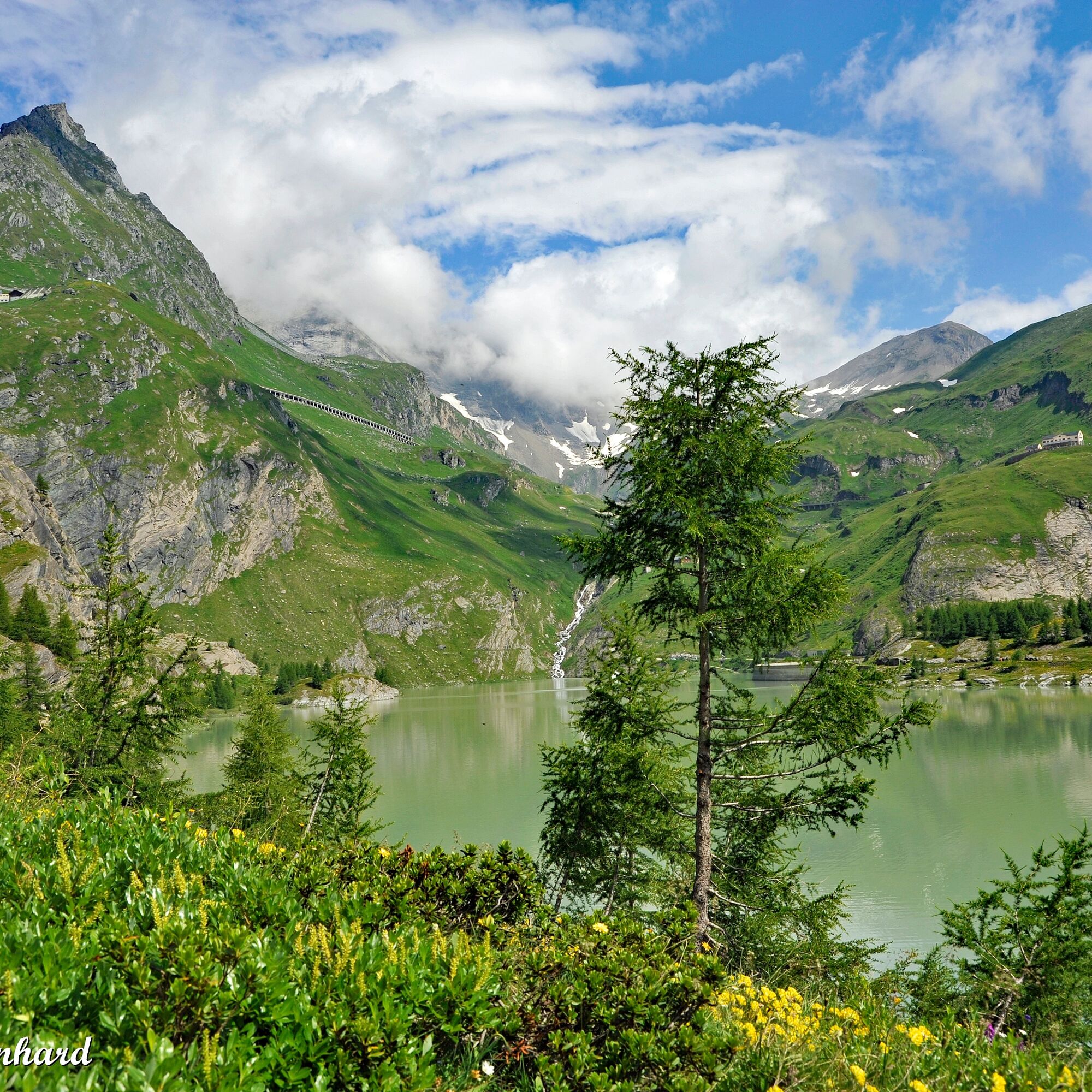
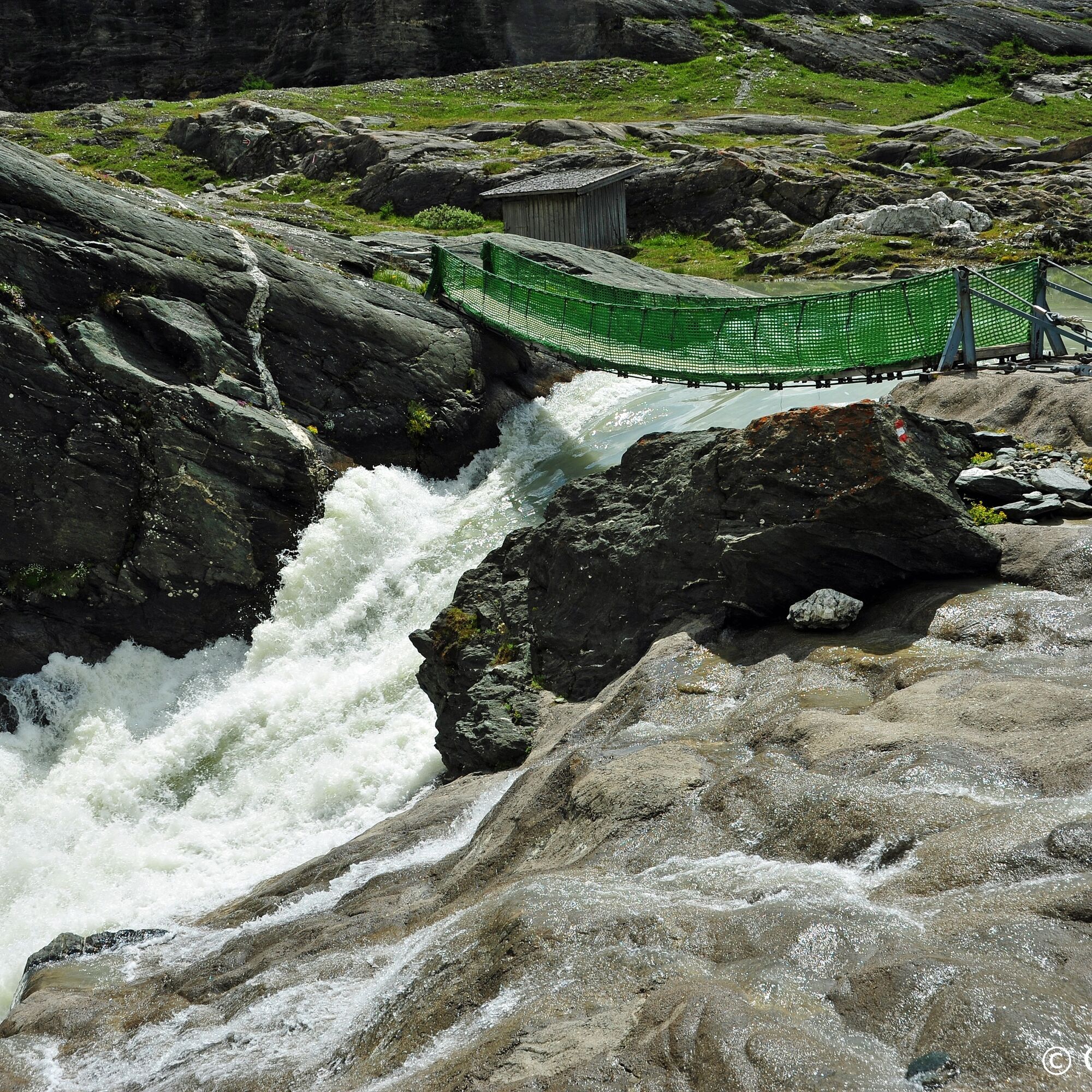
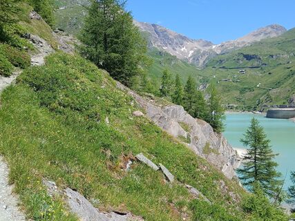
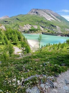
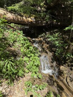
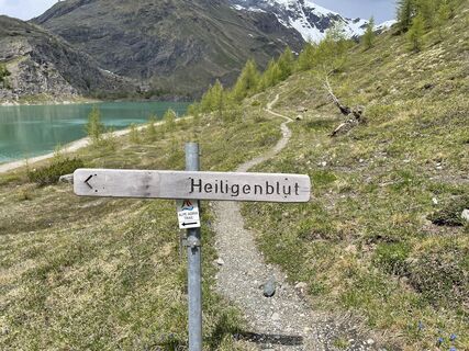
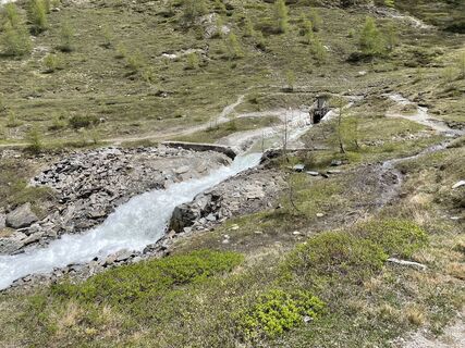
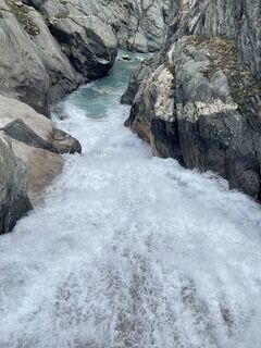
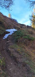
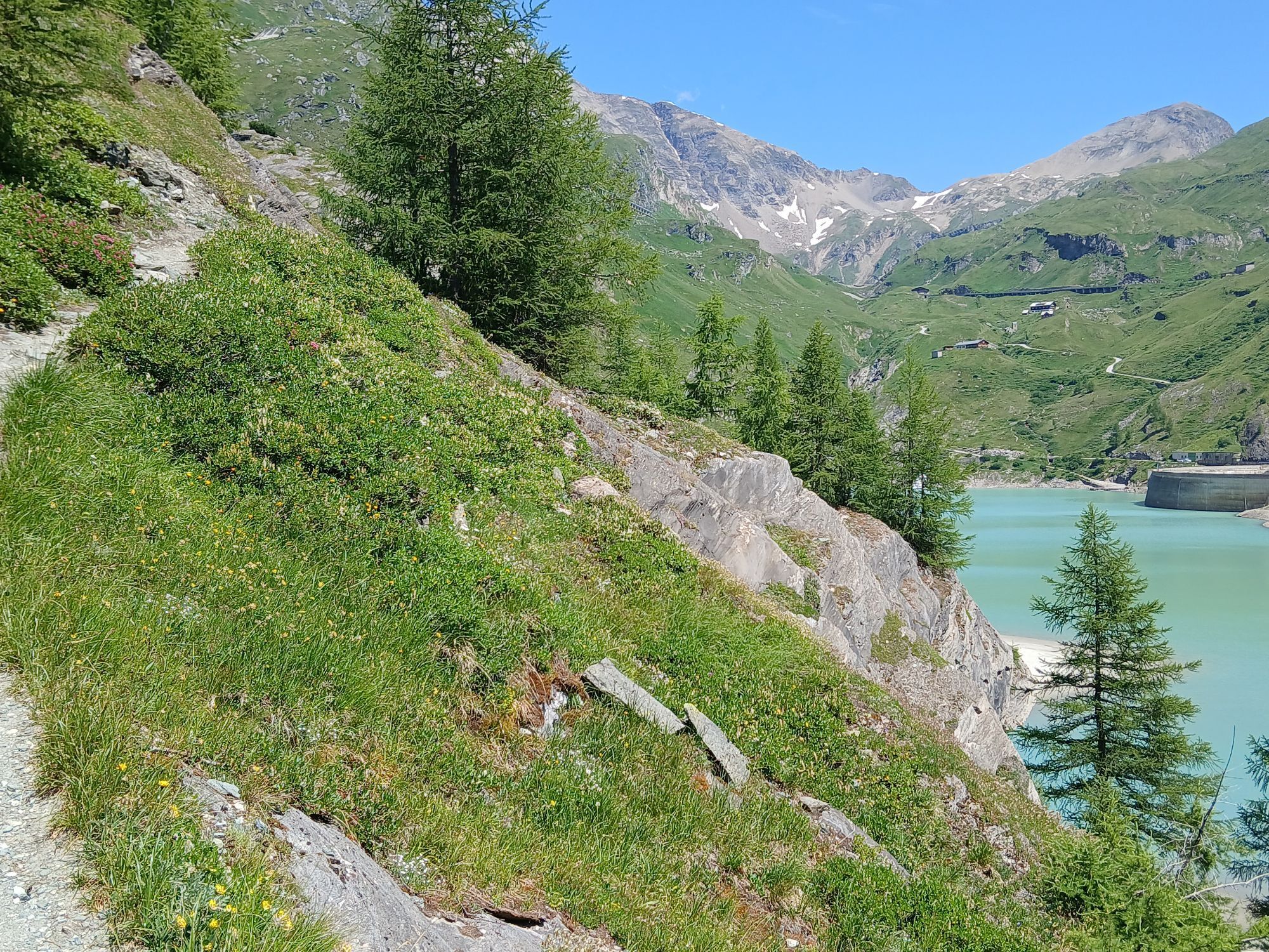
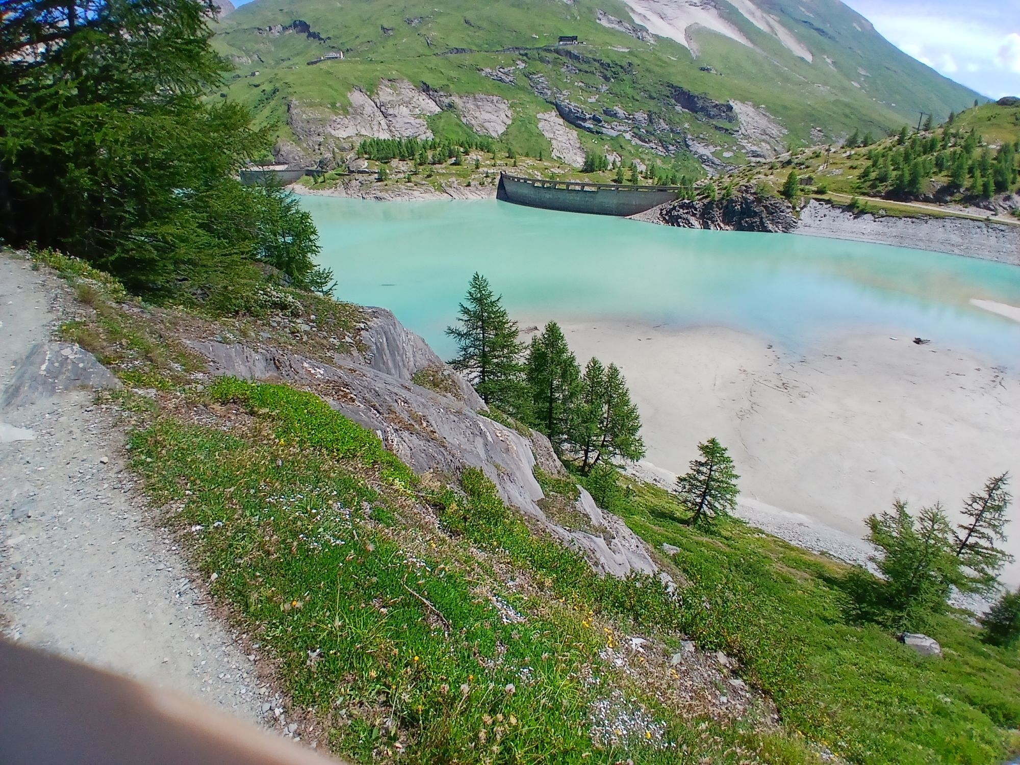
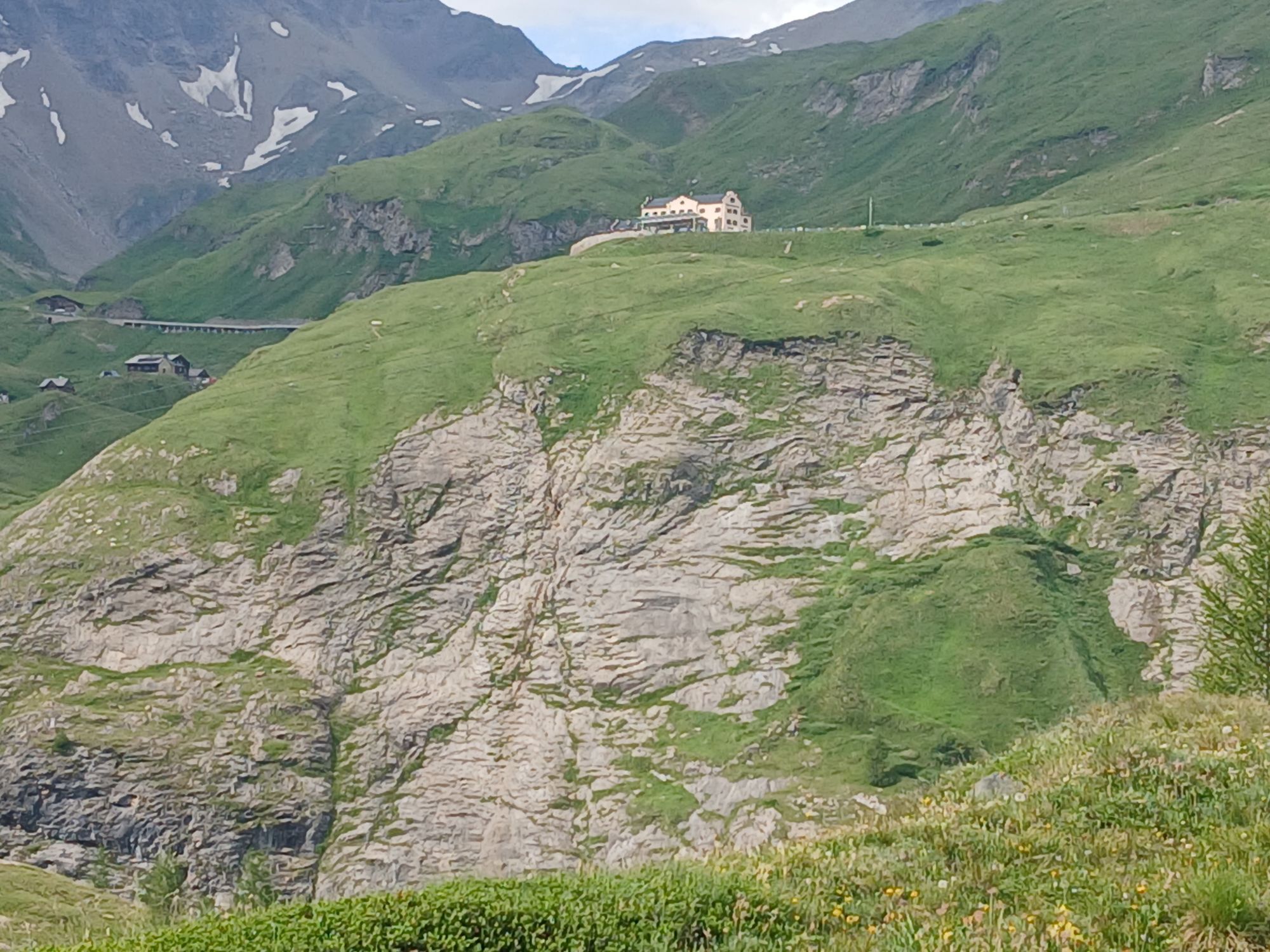
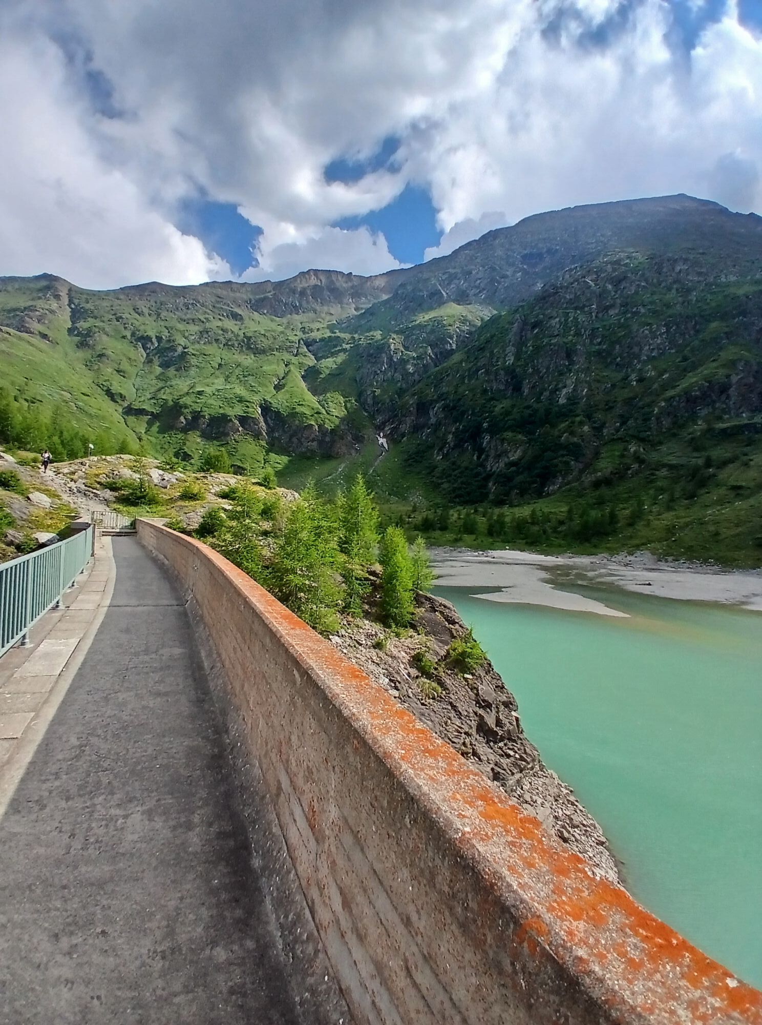
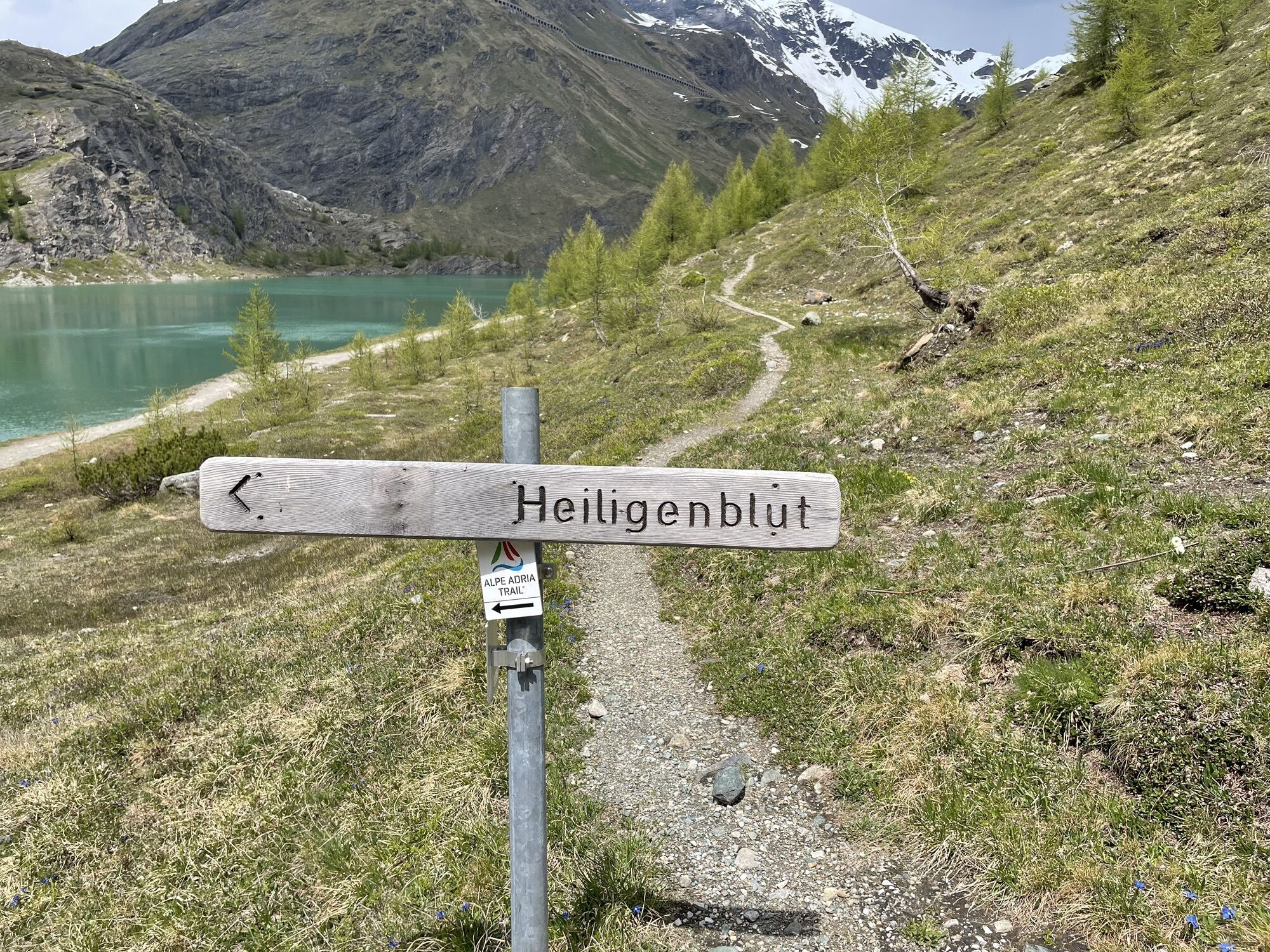
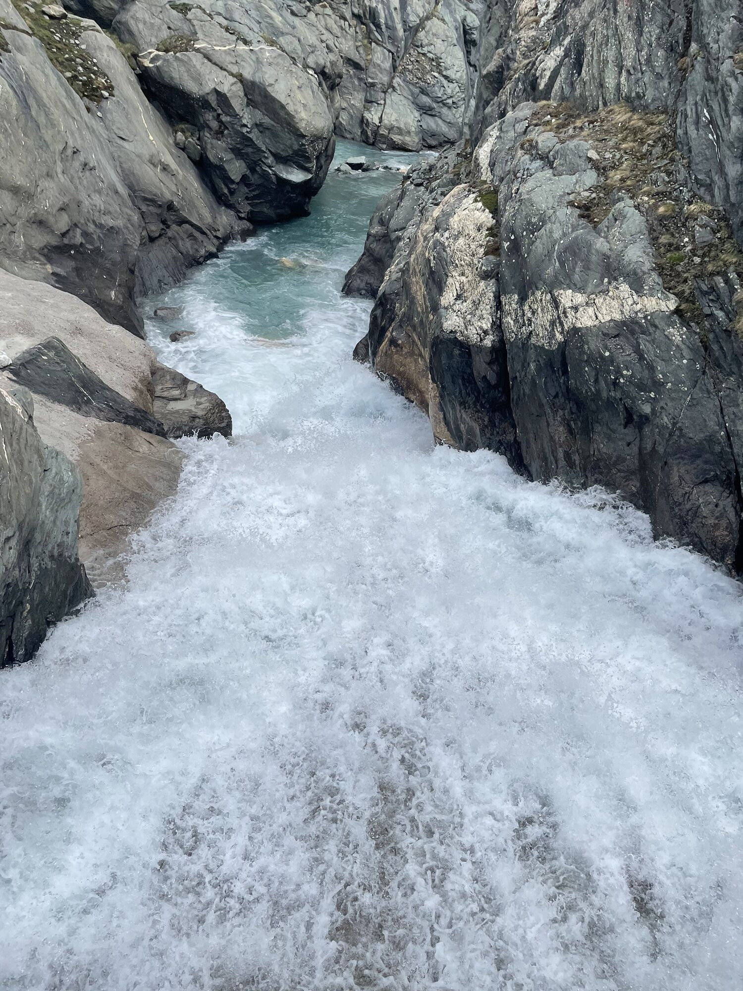
Refreshed, continue to the Briccius Chapel. Shortly thereafter, at the fork, turn left to change sides of the valley. Here begins the steepest part of the path at the Leiter waterfall, secured with ropes for safety. Shortly after the Trogalm, we cross the Leiterbach and follow the path keeping to the right towards the Margaritzen reservoir. (From the dam, an ascent to the Glocknerhaus is possible)
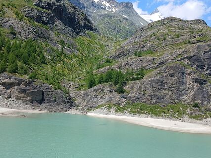
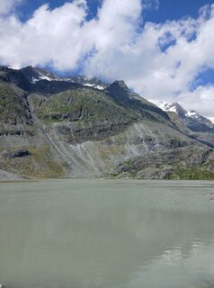
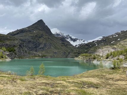
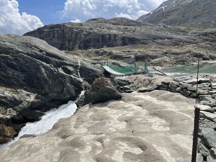
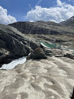
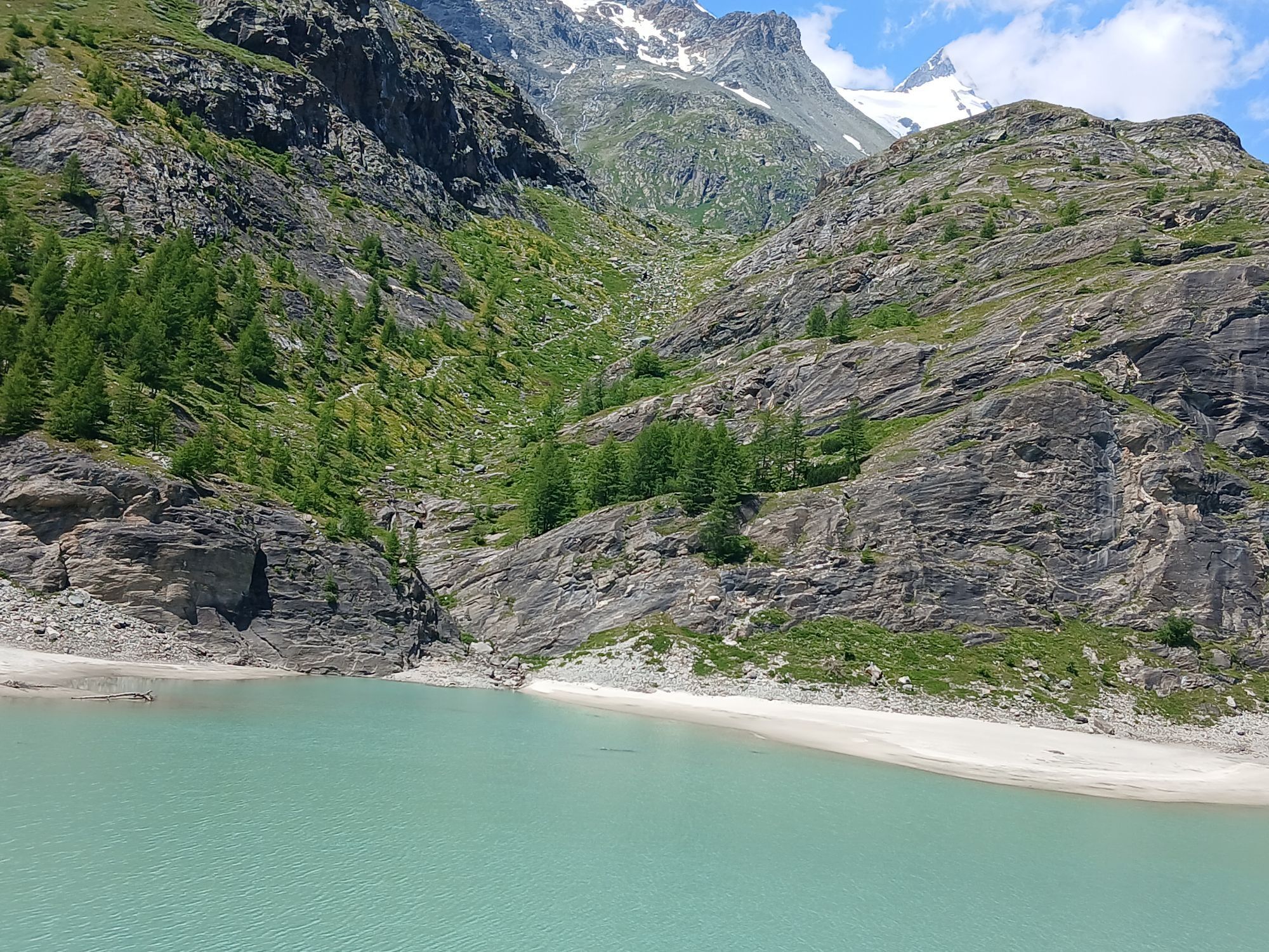
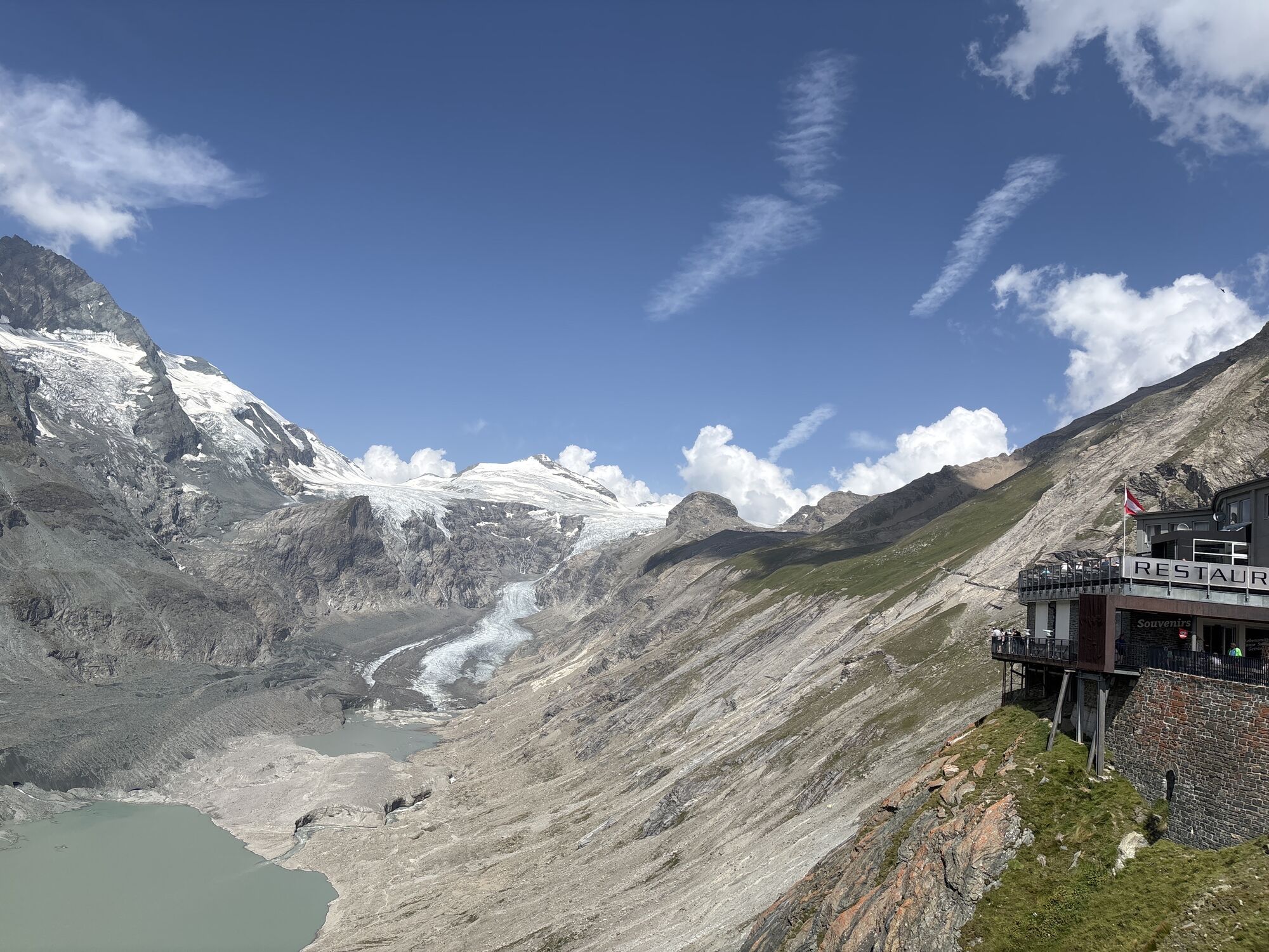
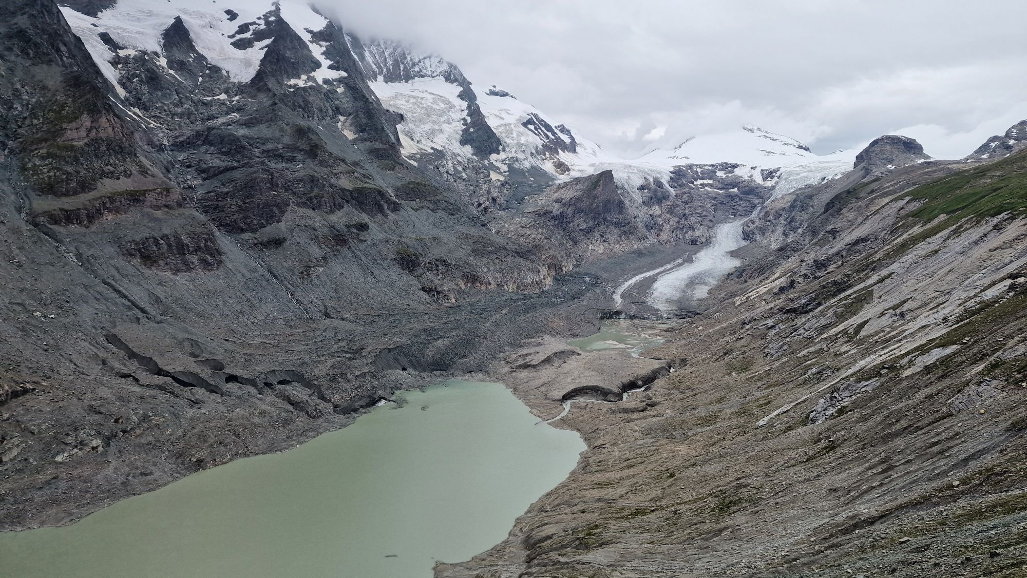
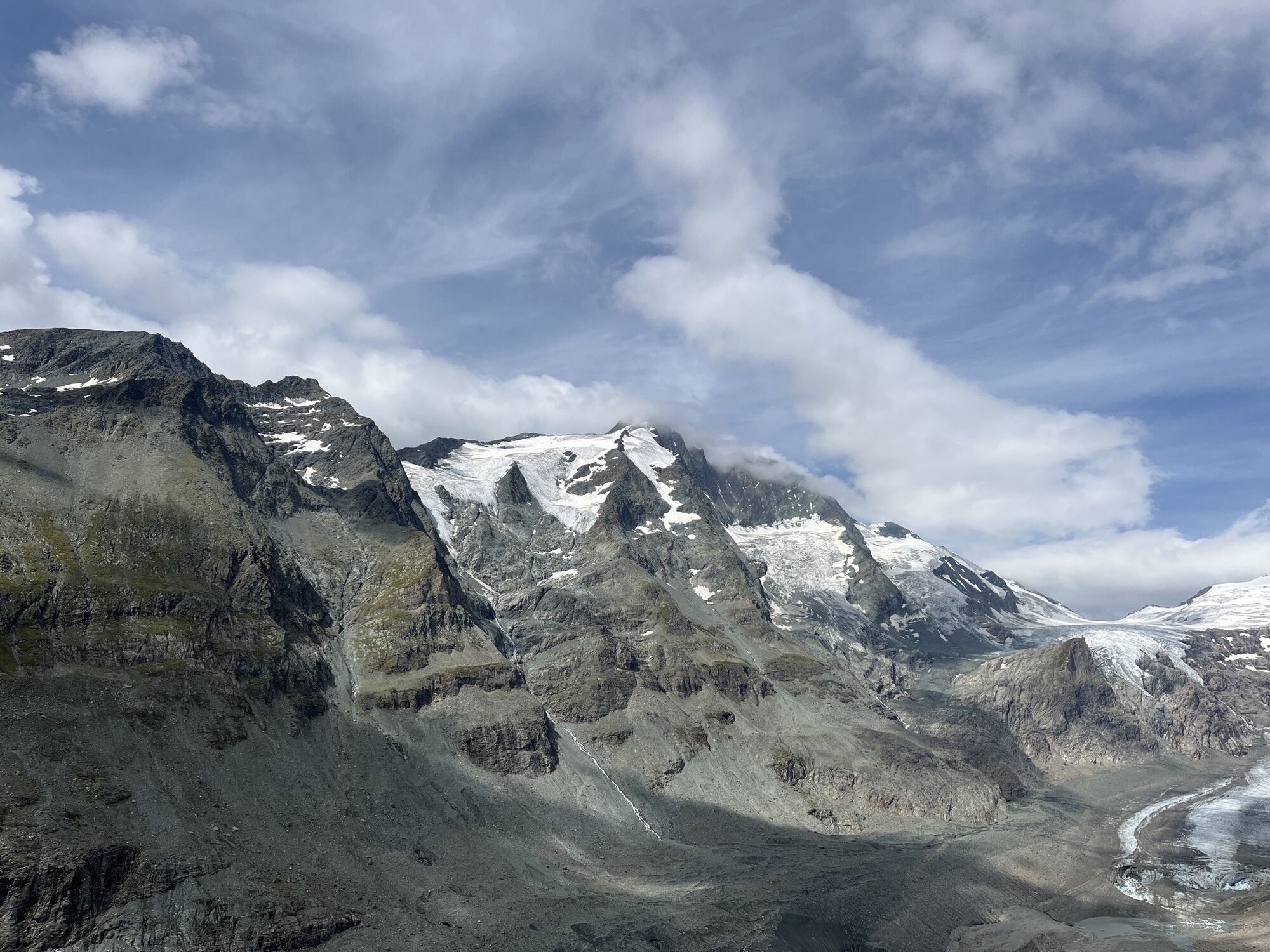
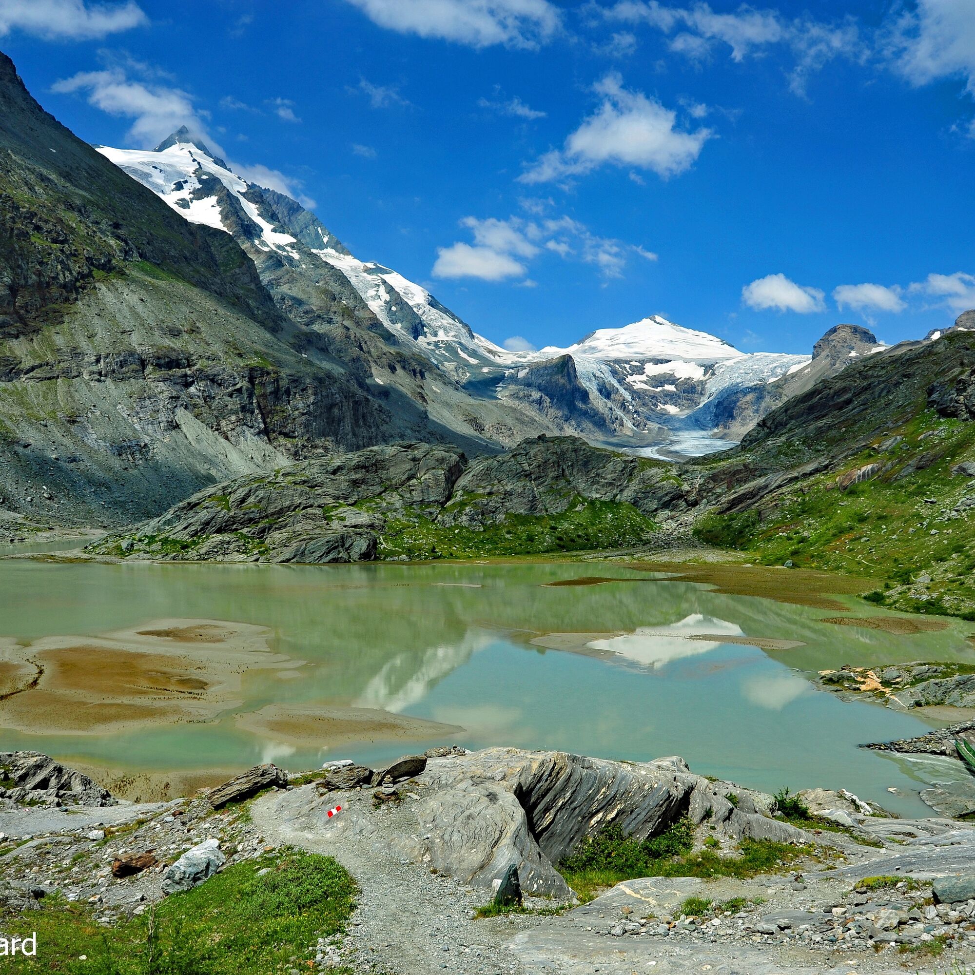
From here, we follow the Pasterze glacier path: to the left around the reservoir, through a small valley to the "Stone Marker Place" at Elisabeth rock, over the suspension bridge, to the right around the Sandersee, then over rock steps and scree towards the Pasterze glacier and onwards to Kaiser Franz Josefs Höhe.
Tak
Tak
Pack sturdy footwear, hiking poles, something to drink, and a small snack in your backpack.
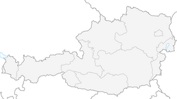
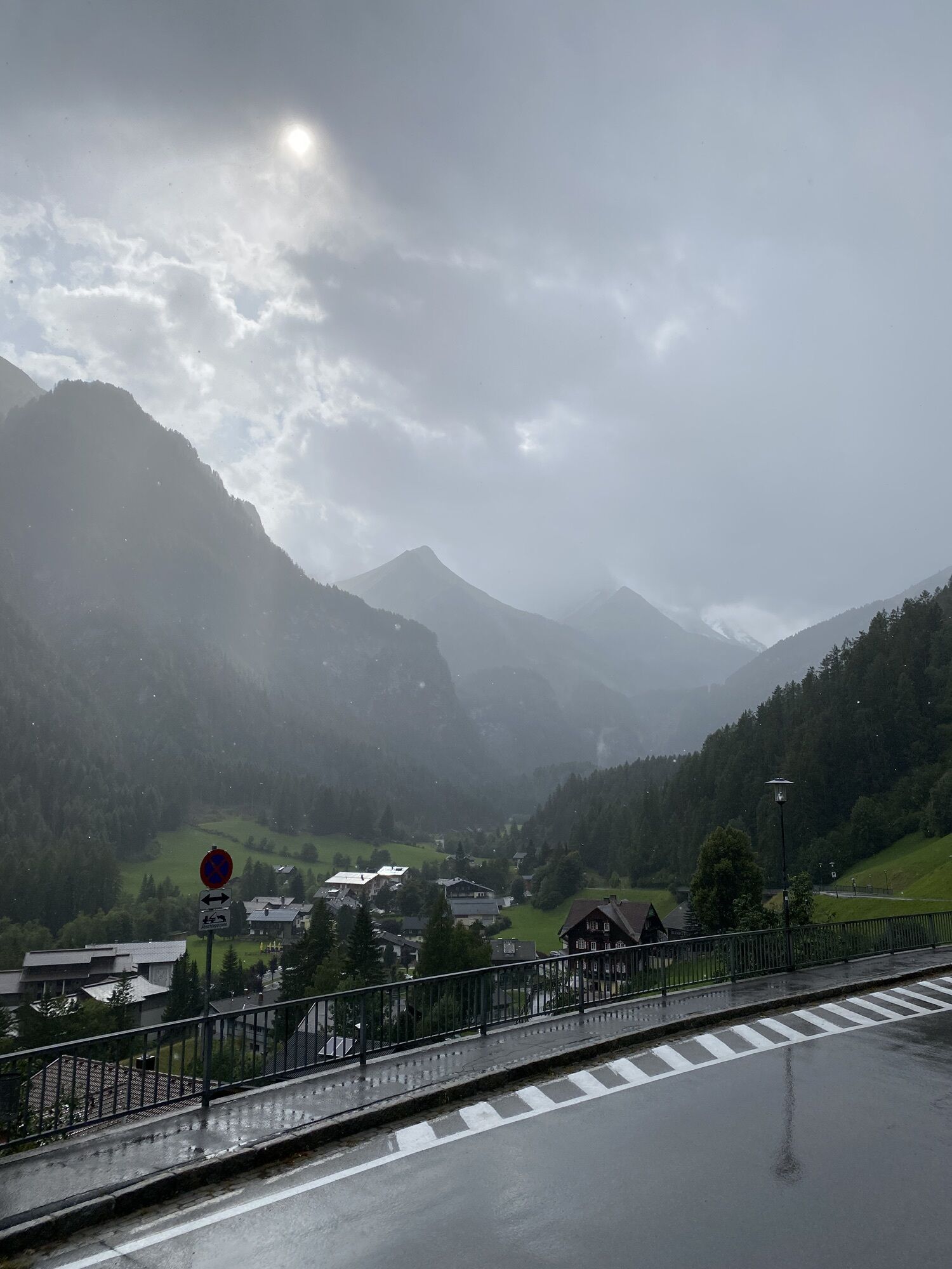
Via the Mölltal federal road (107) to Heiligenblut. The route starts directly in the center. Or further to the Winkel district - towards Kräuterwand. Park the car at the Kräuterwand parking lot. The route starts exactly opposite.
The post bus runs three times daily from mid-June to mid-September (only once on Saturdays) via the Großglockner High Alpine Road to the Alpincenter Glocknerhaus or Kaiser-Franz-Josefs-Höhe and back.
Car park at the entrance to Heiligenblut or Kräuterwand parking lot.
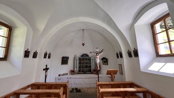
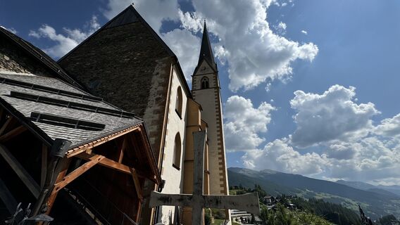
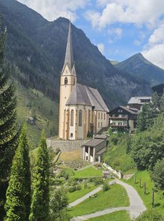
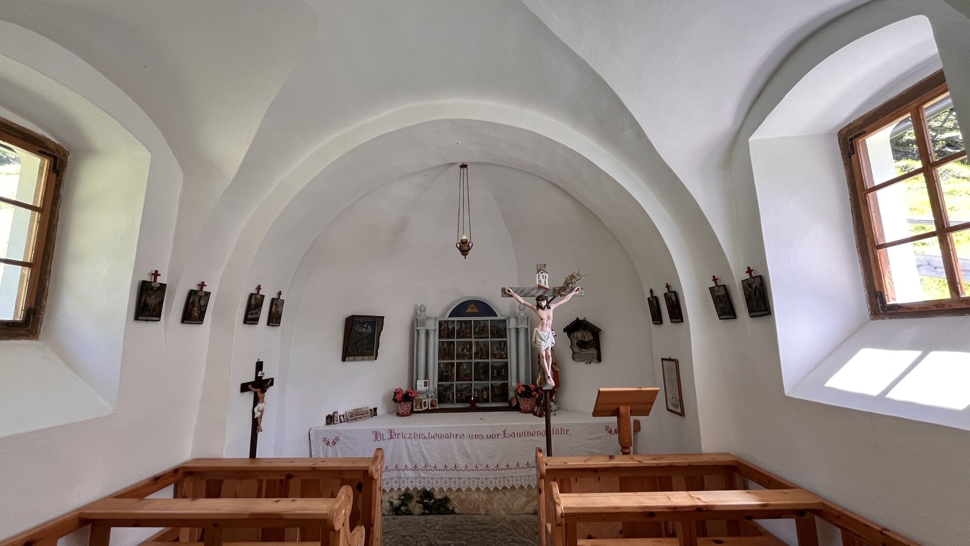
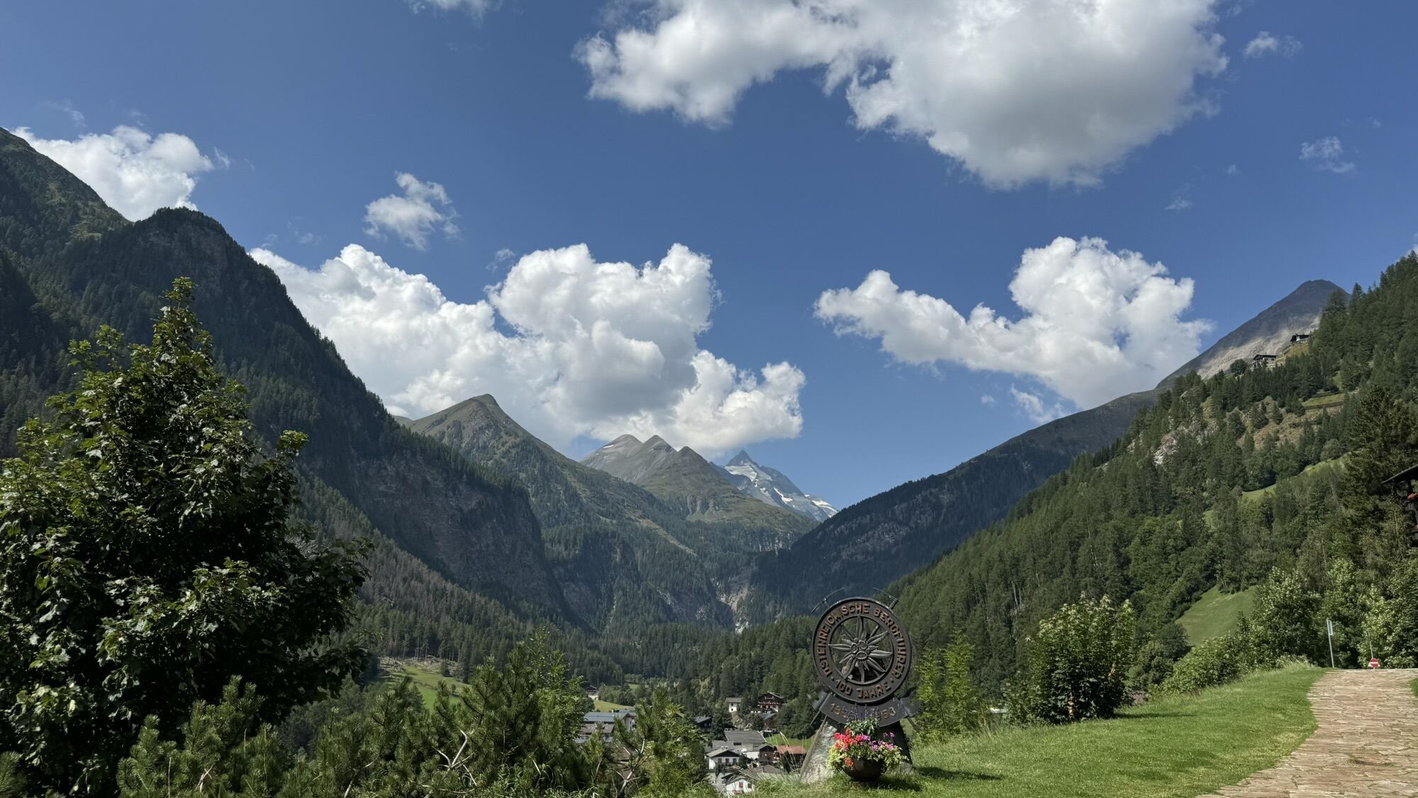
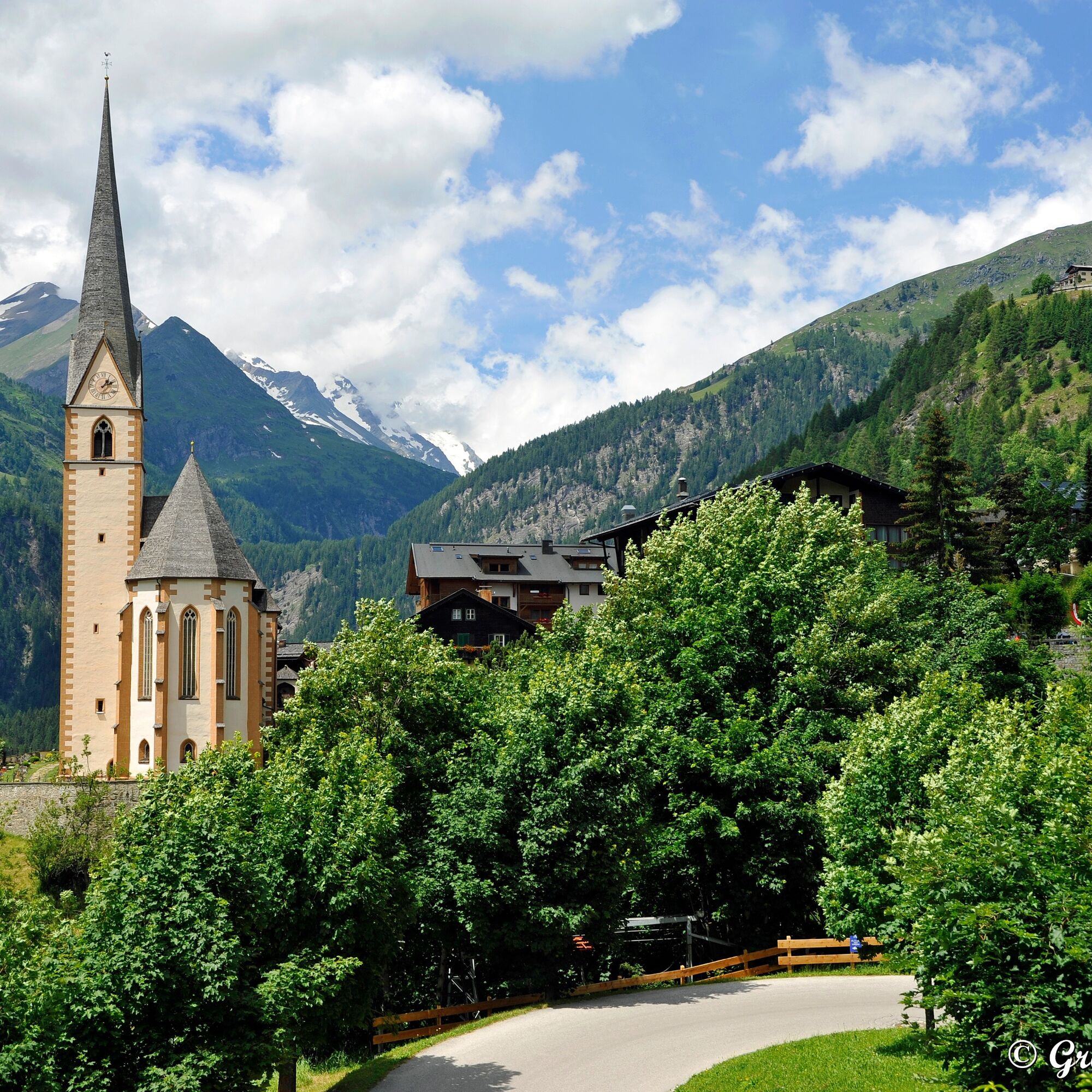
Highly recommended: a visit to the pilgrimage church of St. Vinzenz in Heiligenblut - the legend of the Danish prince Briccius can be followed here using the murals! This hike represents the 1st stage of the Alpe-Adria Trail in reverse direction!
The 2nd variant from Heiligenblut to Kaiser-Franz-Josefs-Höhe leads after the Briccius Chapel over the Tauern high trail to the Pasterze. Details see here.
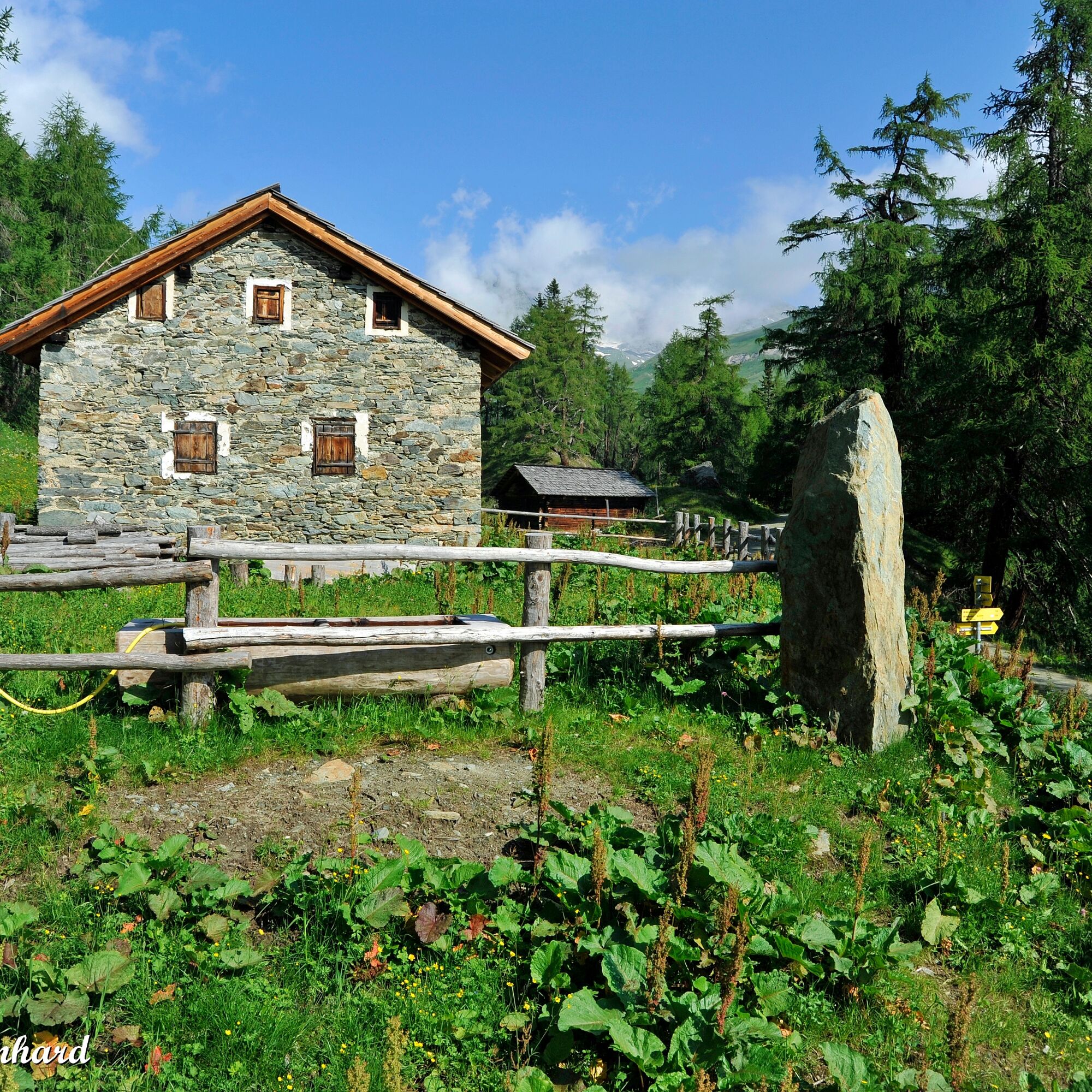
The traditional cuisine of the Briccius dairy at Sattelalm and the healing spring water at the Briccius Chapel provide inner and outer strength.
Kamery internetowe z trasy
-
Heiligenblut Ort
-
Fallbichl
-
Rossbach Mittelstation
-
Mesenatenhütte, Wallackhaus
-
Freiwandeck
-
Heiligenblut / Zirbenhof
-
Mesenatenhütte, Wallackhaus
-
Schareck
-
Fallbichl
-
Fallbichl
-
Fallbichl
-
Rossbach Mittelstation
-
Rossbach Mittelstation
-
Rossbach Mittelstation
-
Heiligenblut Ort
-
Heiligenblut Ort
-
Heiligenblut Ort
-
Heiligenblut Ort
-
Adlersruhe
-
Kaiser Franz-Josef-Haus
Popularne wycieczki w okolicy
-
4,9
Wangennitzsee Hütte
średniWędrówka 3,80 km -
4,7
Geotrail Tauernfenster
światłoWędrówka 5,90 km -
4,7
Hohe Sonnblick Up
ciężkiWędrówka 9,14 km -
4,7
Glödis 3206m: PP Seichenbrunn, Lienzer Hütte, Glödis KS A/B
ciężkiWycieczka wysokogórska 16,1 km -
3,9
Glacier Route to the Pasterze with Gamsgrubenweg (up to Tunnel 6)
średniWędrówka 8,05 km -
4,9
Glockner
średniWycieczka wysokogórska 19 km -
4,3
Stüdlhütte -Großglockner
Wędrówka 4,68 km -
4,9
Kaiser-Franz-Josefs-Höhe to Oberwalderhütte
ciężkiWędrówka 5,52 km -
4,9
Großes Wiesbachhorn 3564 mnv Kaprun, Austrija
ciężkiWędrówka 13,4 km -
4,3
Lucknerhaus zur Glorerhütte über Lucknerhütte zurück
średniWędrówka 11,2 km

Wędrówki i tropienie


Nie przegap ofert i inspiracji na następne wakacje
Twój adres e-mail została dodana do listy mailingowej.