






Steuerberg [8] Kitzel Chapel
You start from the parking lot at the municipal office in Steuerberg, passing by the Church of St. Peter and Paul heading south, then go down the Kirchsteig on the left over the Gaber Bridge. Then back...
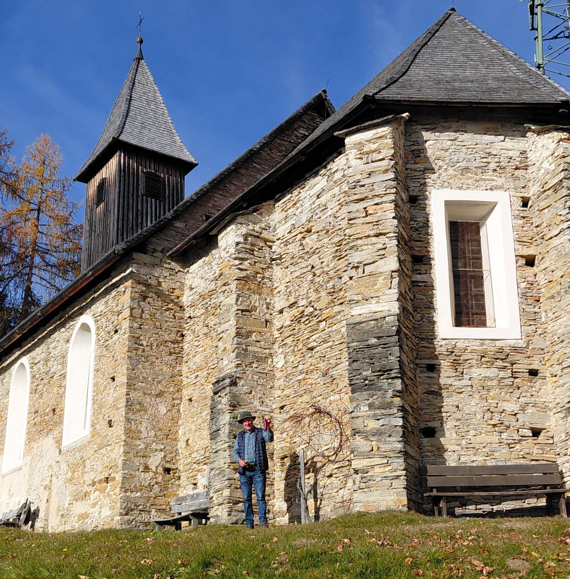
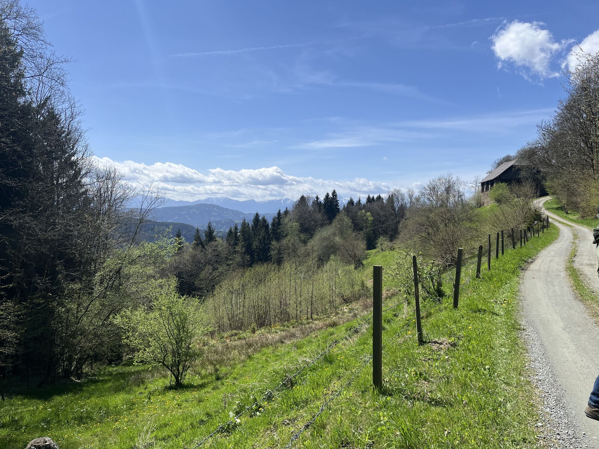
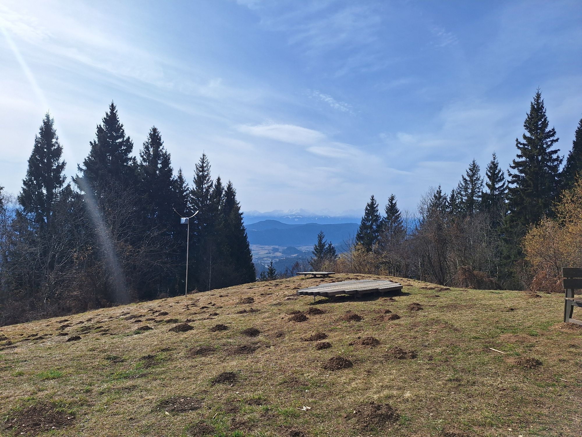
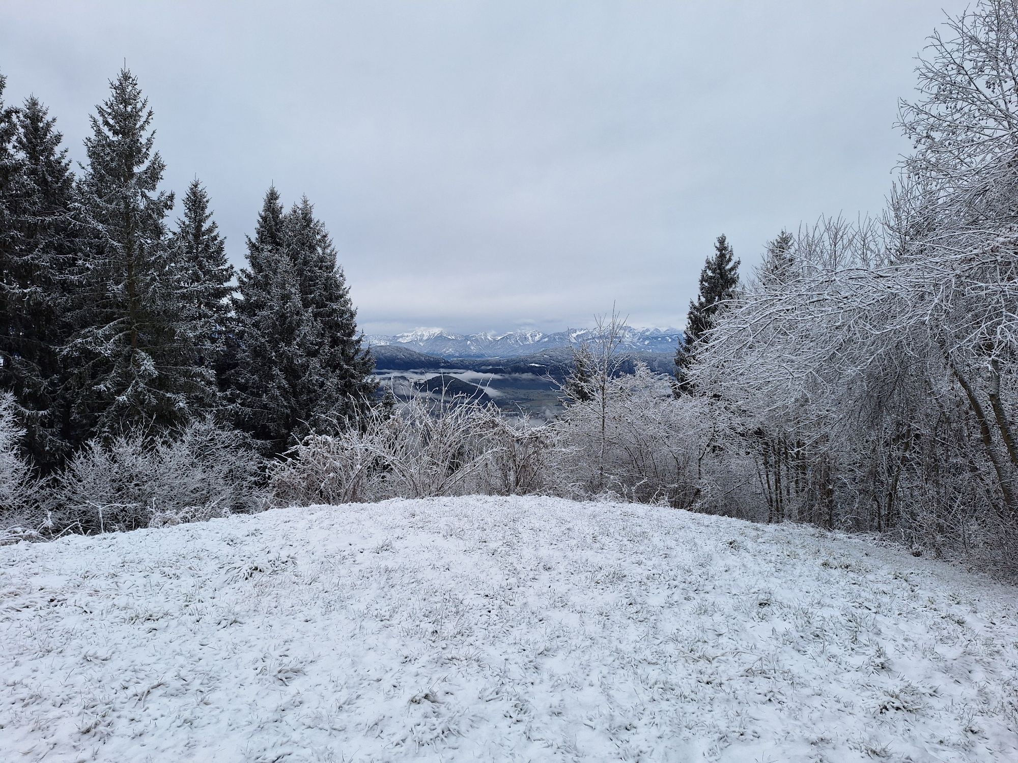
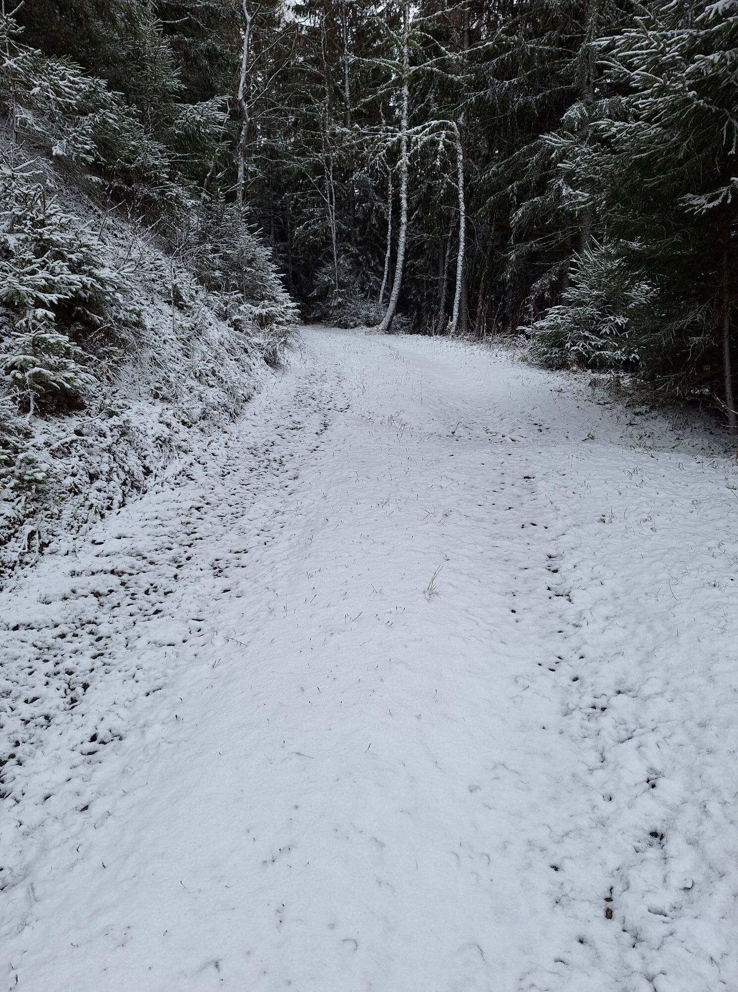
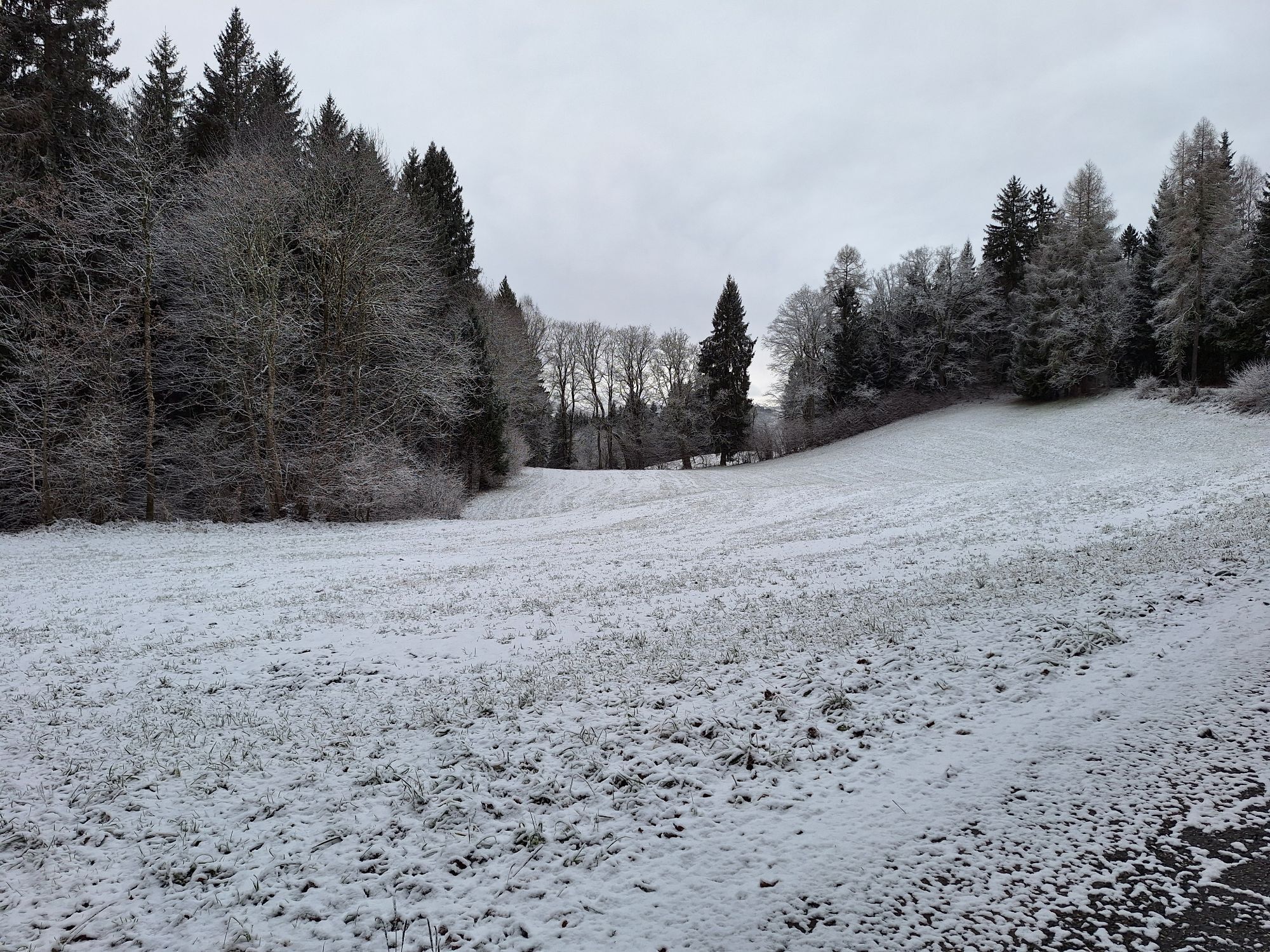
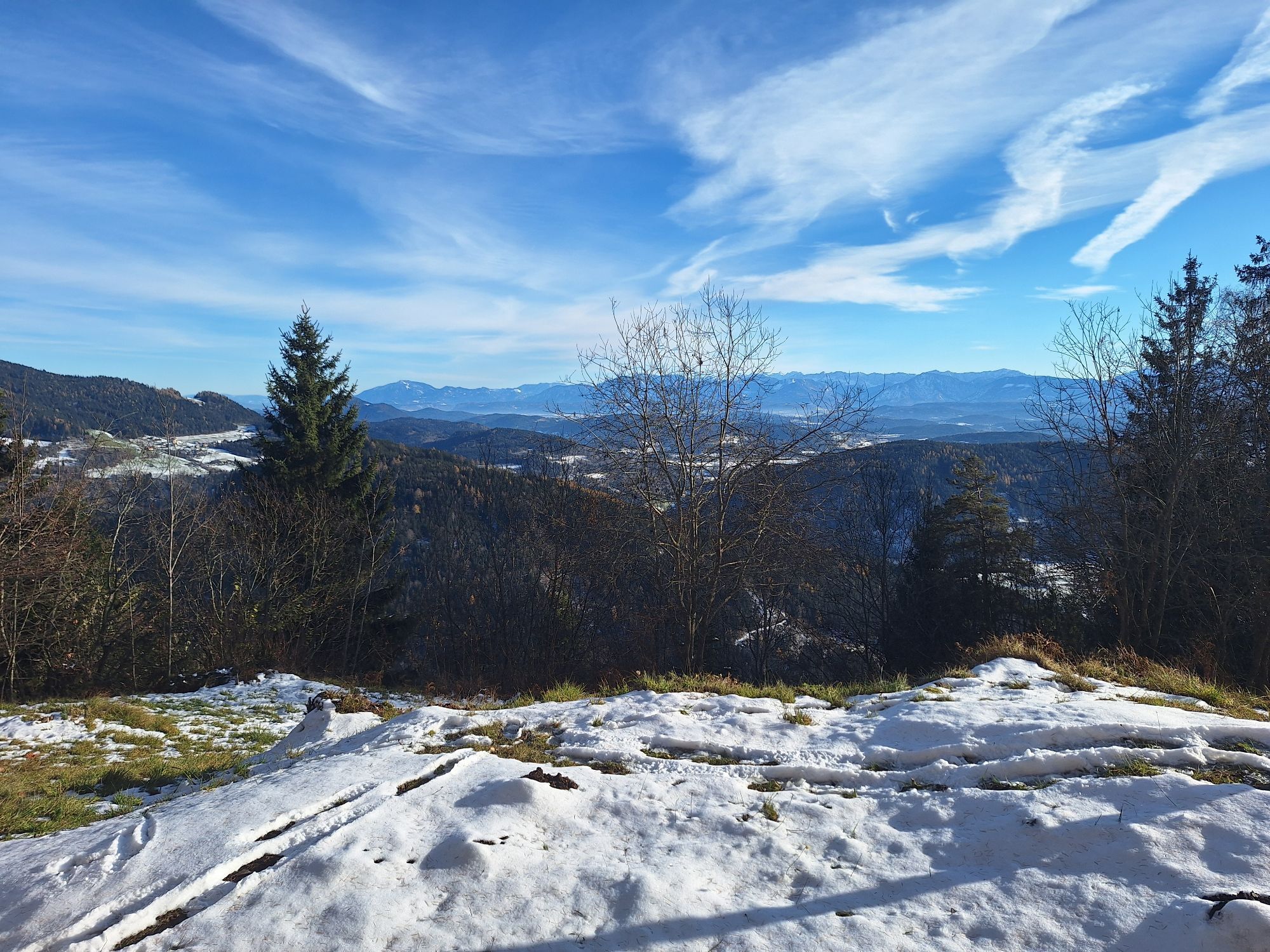
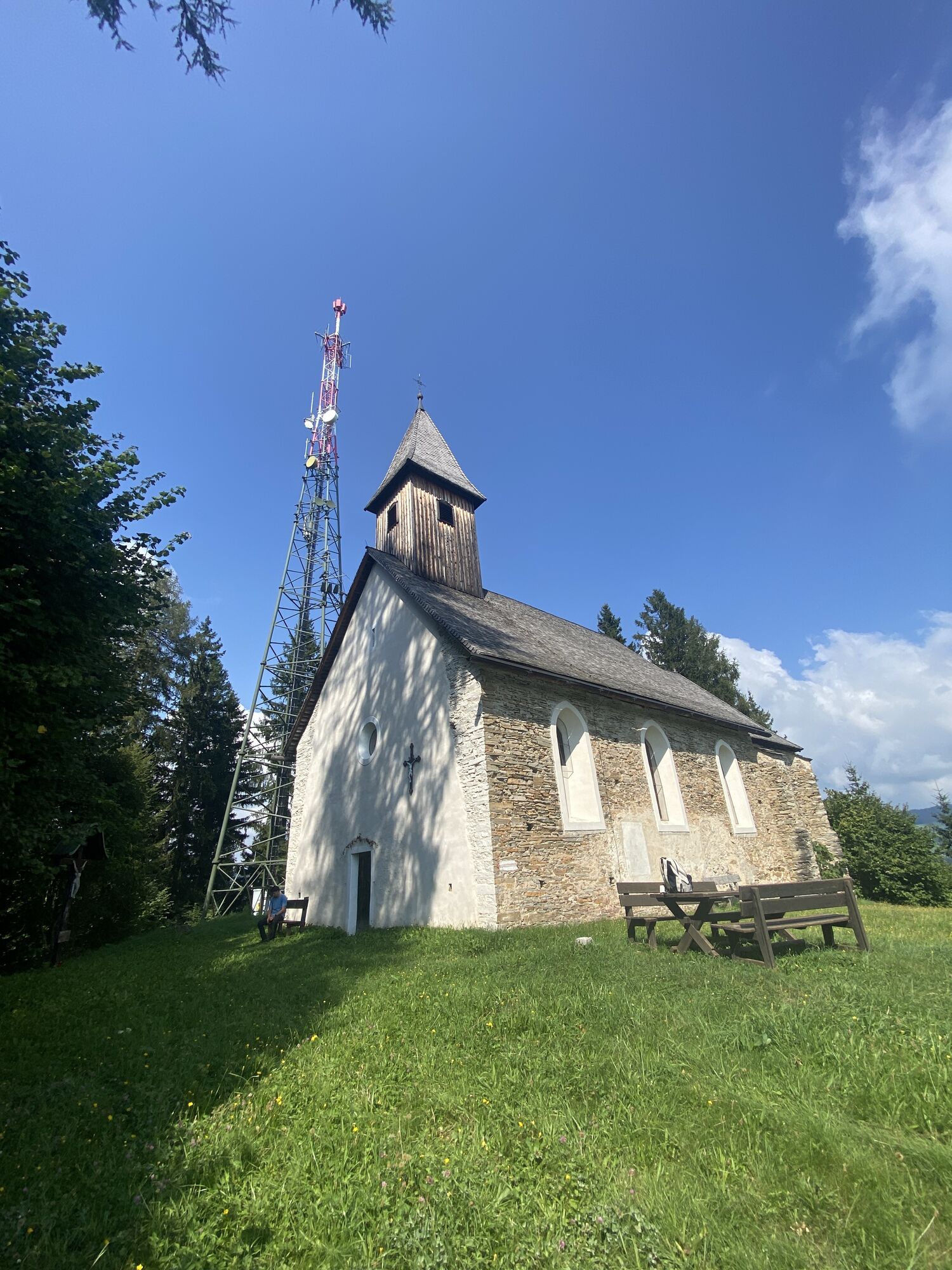
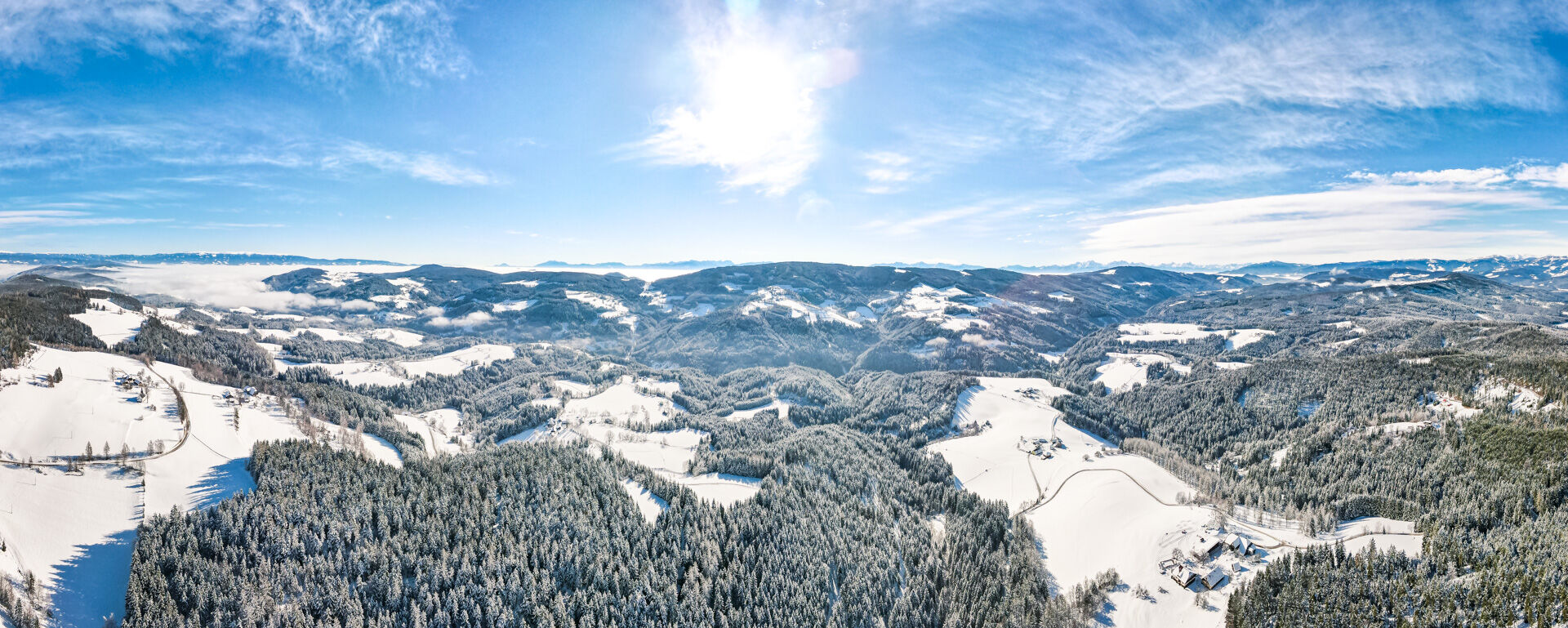
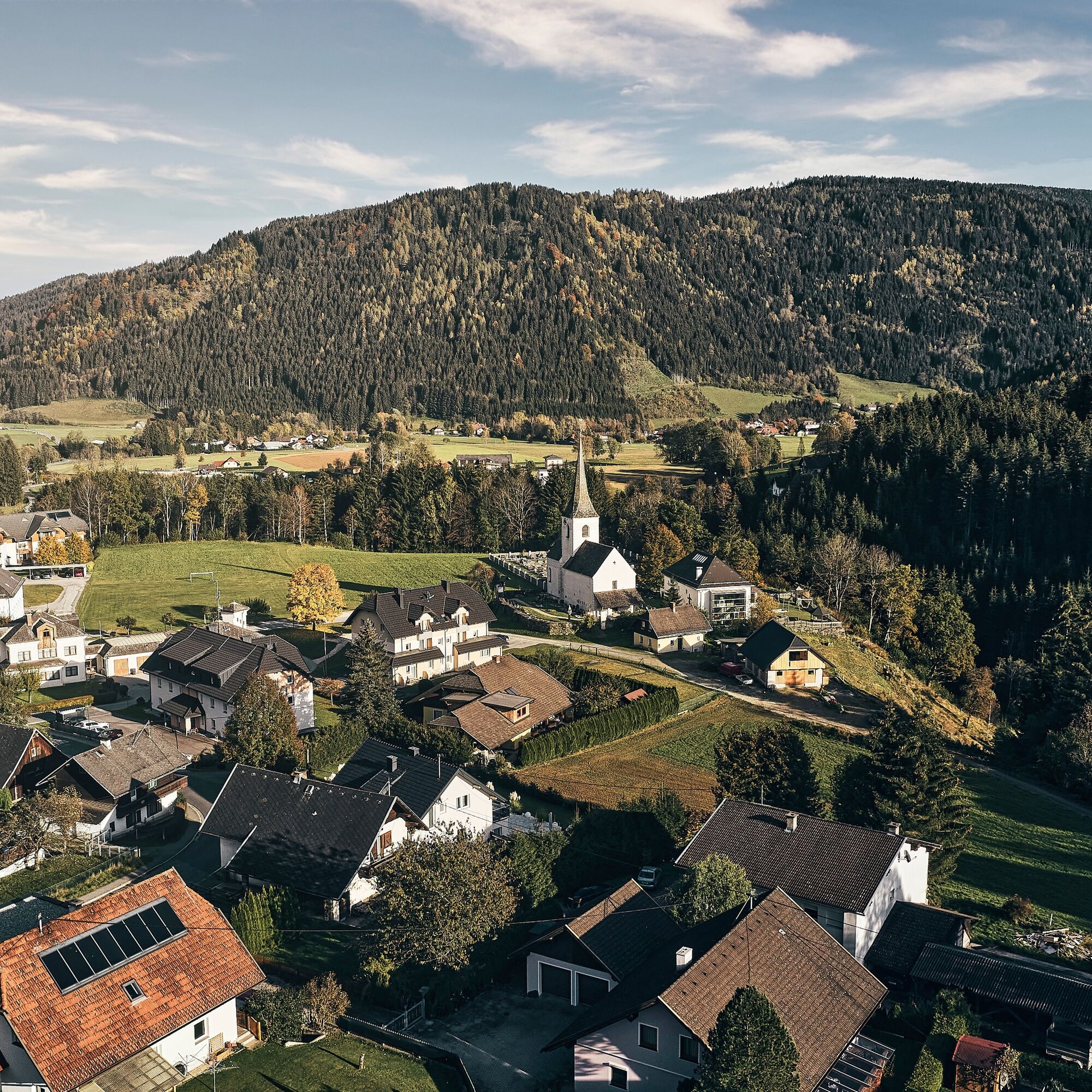
You start from the parking lot at the municipal office in Steuerberg, passing by the Church of St. Peter and Paul heading south, then go down the Kirchsteig on the left over the Gaber Bridge. Then back up to the village road Felfern-Kraßnitz. The path then continues to the right to Kraßnitz vlg. Amtmann. You follow the marked path to the left to Jeinitz and further to the Kitzel Chapel (branch church of St. Ægidius). This small Gothic pilgrimage chapel is located on the 1091-meter-high mountain peak and features a noteworthy pulpit as well as rustic votive tablets on the walls and altar. From Kitzel, you have a magnificent panoramic view over large parts of Carinthia. On the way back, you go over Wiggis and Wachsenberg (the inn "Zum alten Messner" and the church in Wachsenberg are worth seeing!) to Hinterwachsenberg and from there pass by the property vlg. Stoffl, until you turn left into the forest heading towards Jeinitz. After the barrier, you immediately go right along the wonderful path back to the village of Kraßnitz and further over the Gaber Bridge back to Steuerberg.

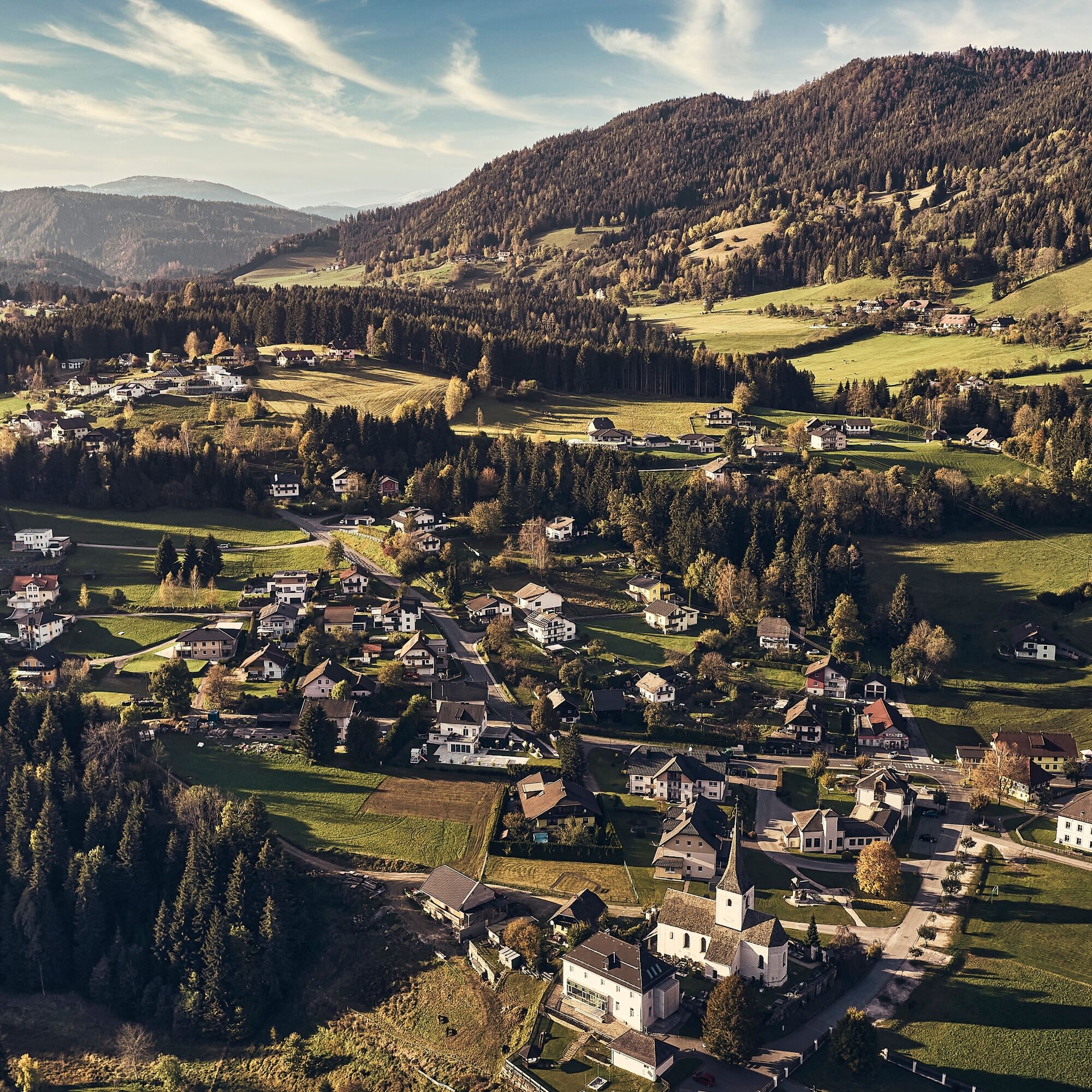
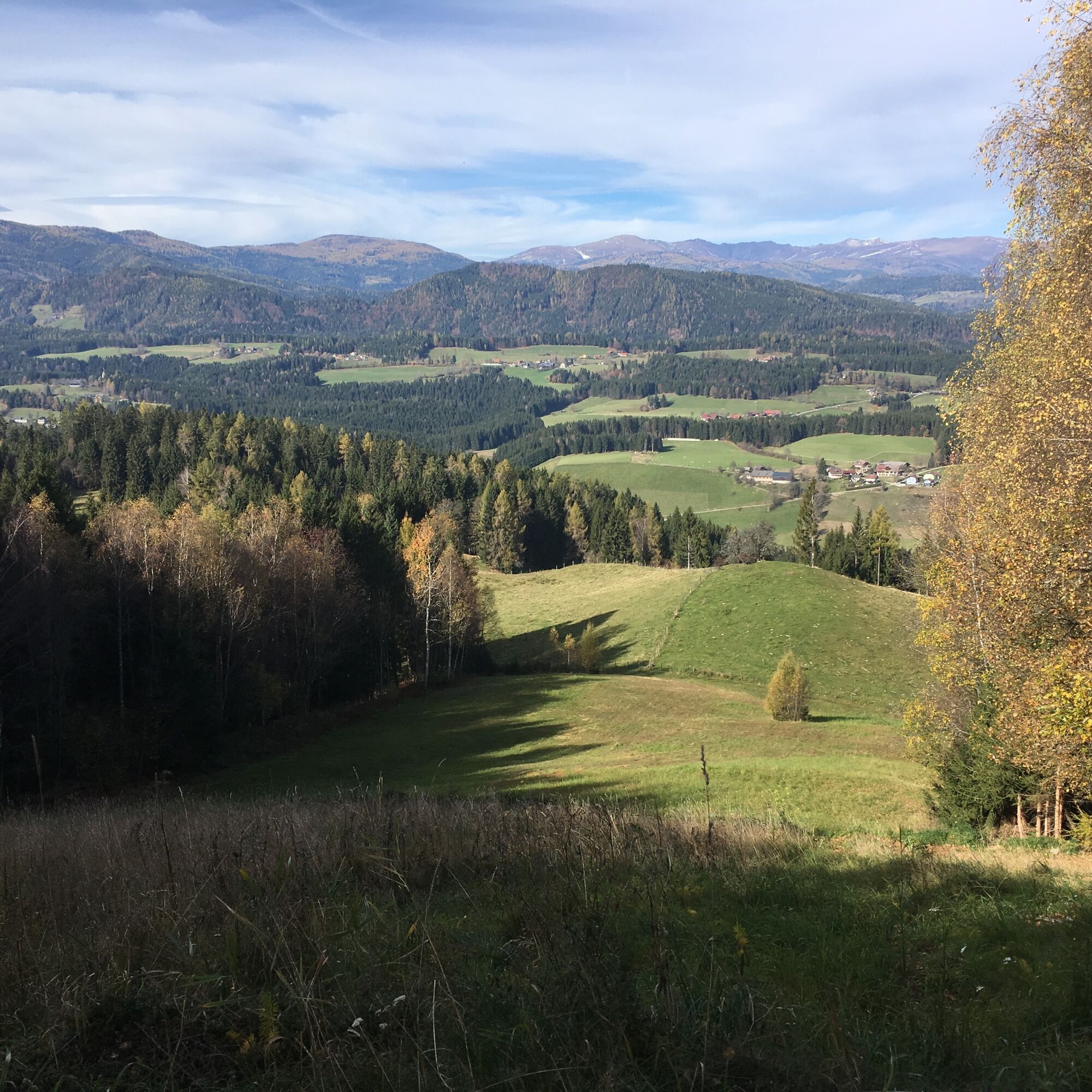
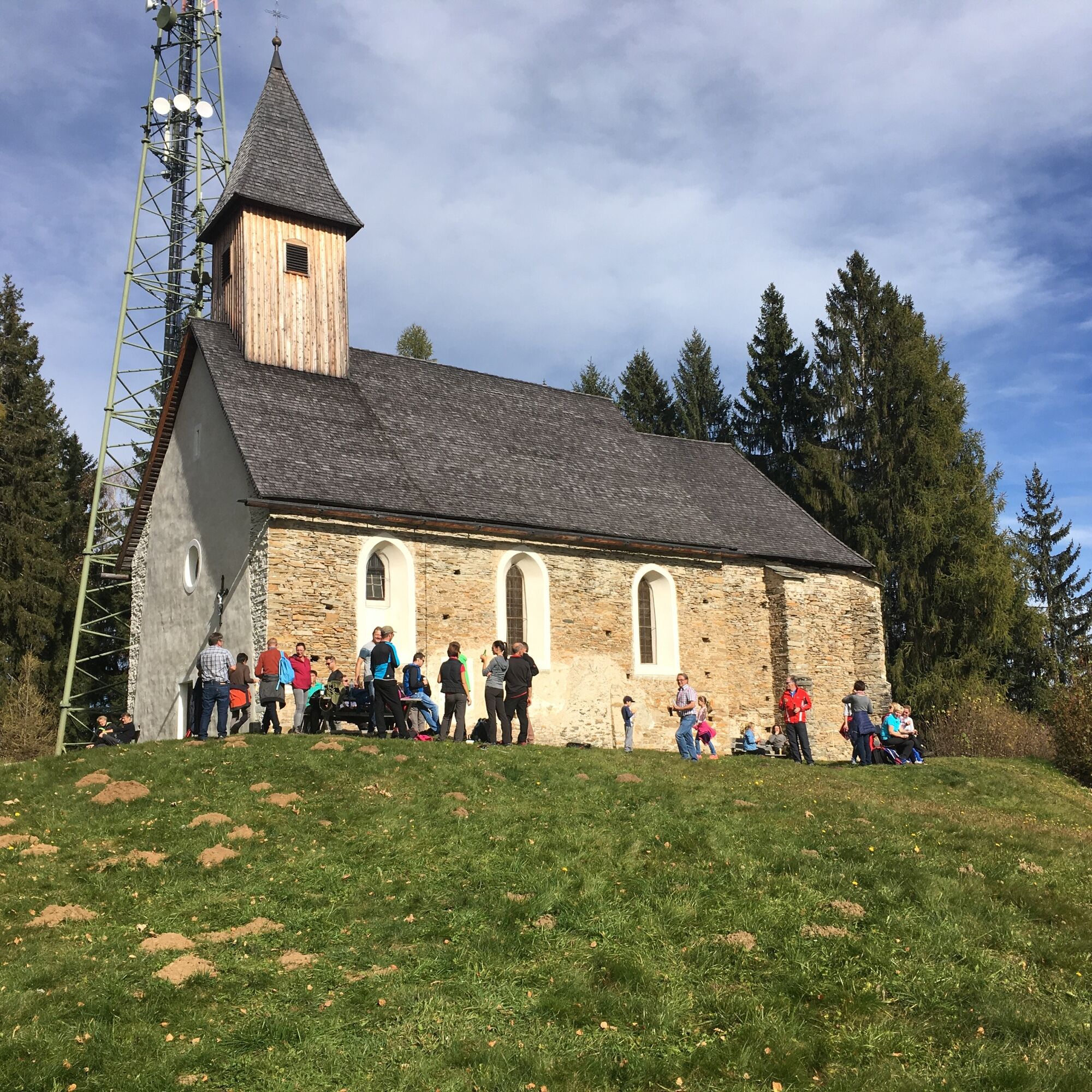
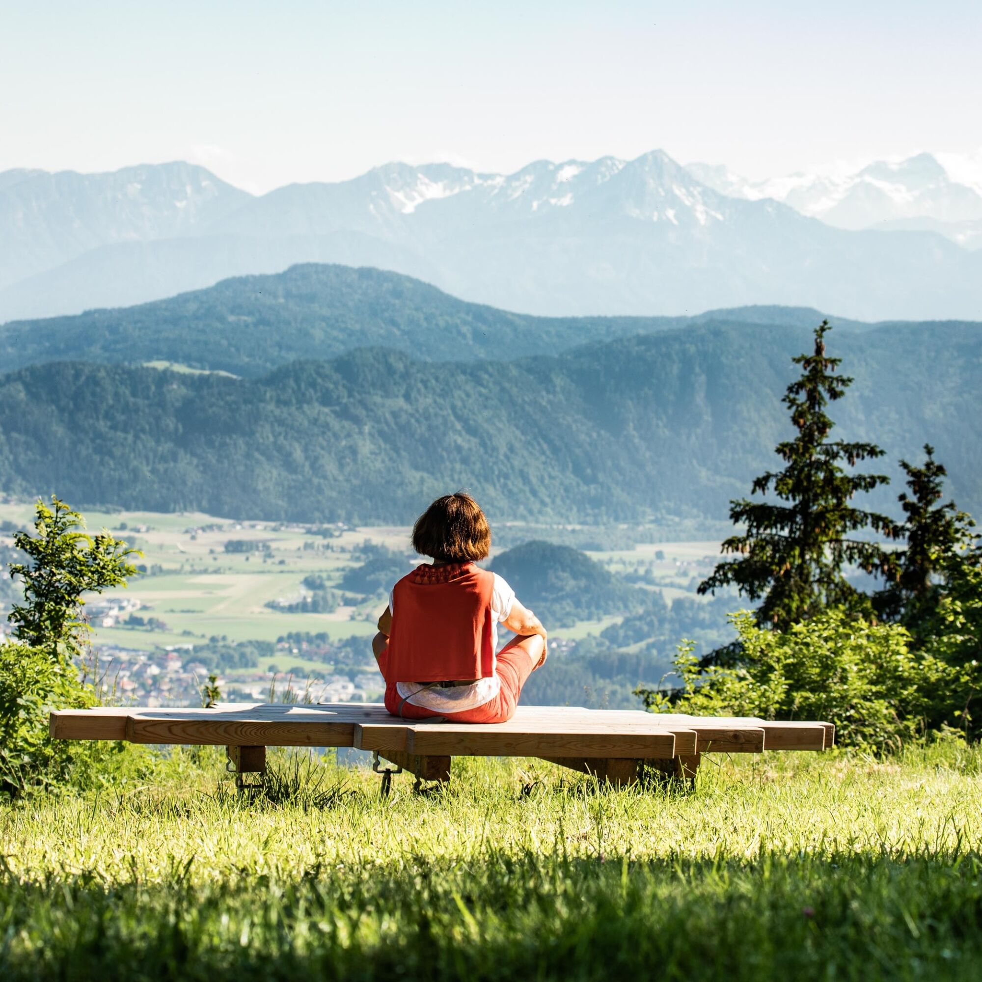
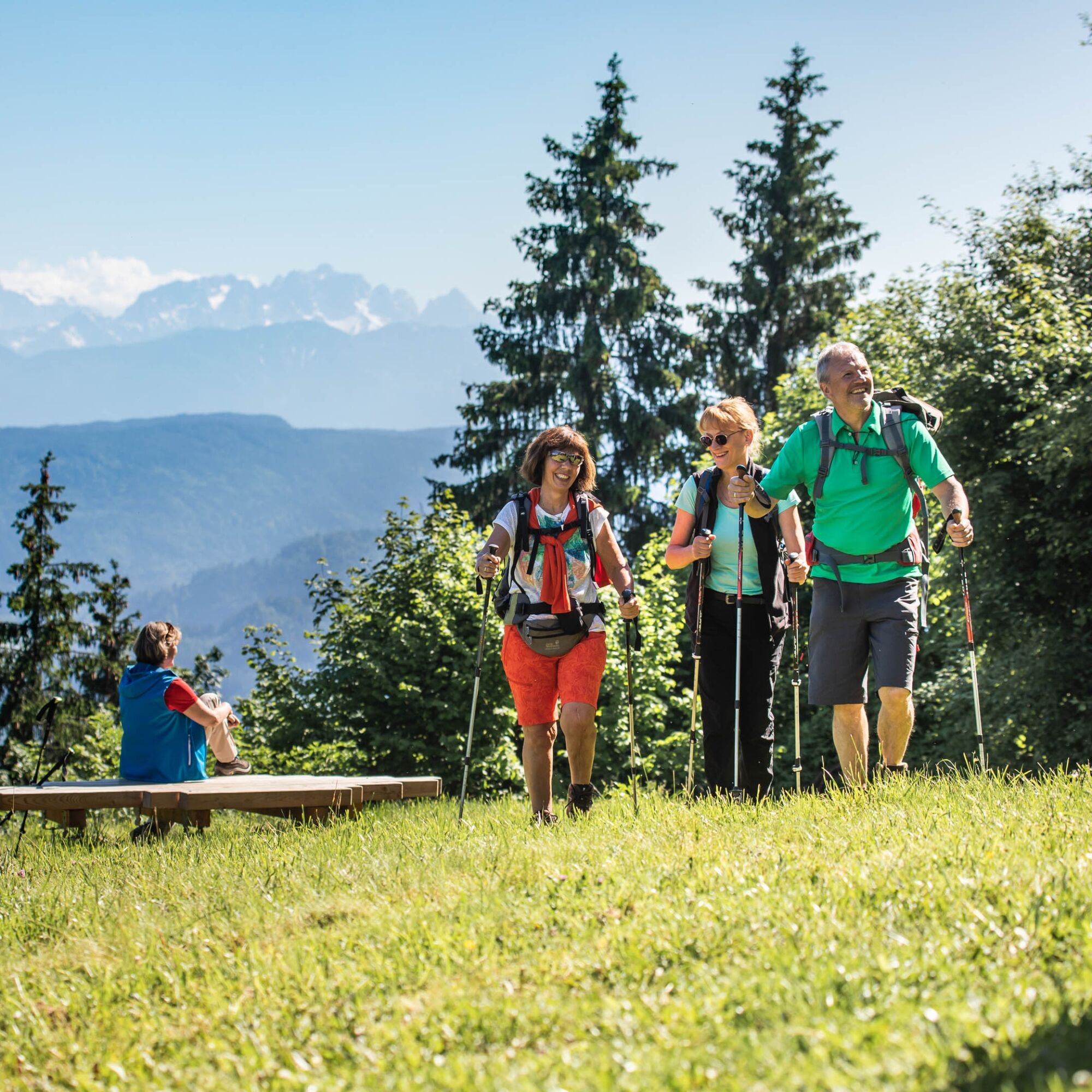
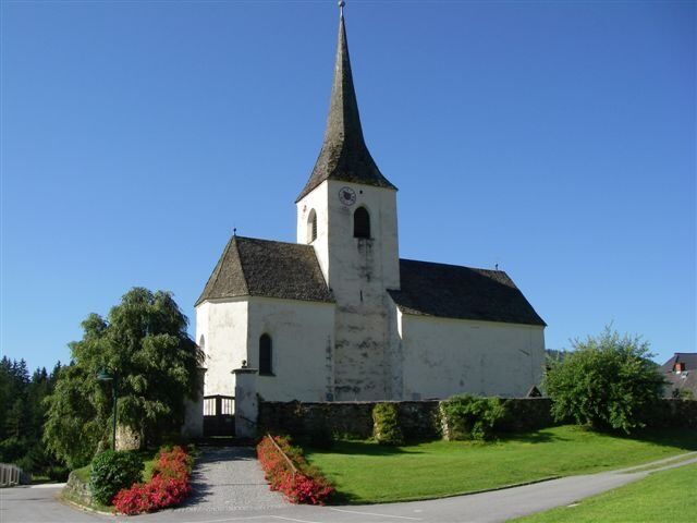
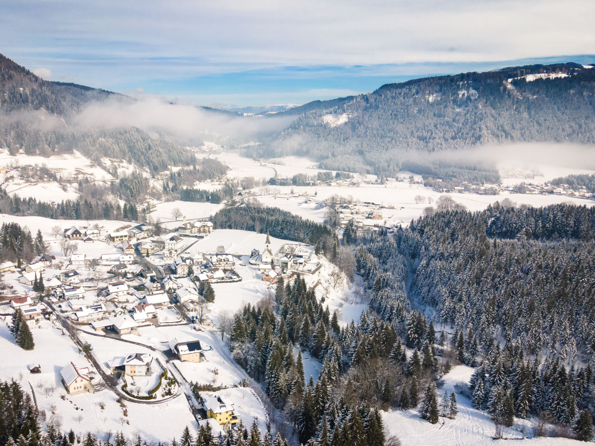

You start from the parking lot at the municipal office in Steuerberg, passing by the Church of St. Peter and Paul heading south, then go down the Kirchsteig on the left over the Gaber Bridge. Then back up to the village road Felfern-Kraßnitz. The path then continues to the right to Kraßnitz vlg. Amtmann. You follow the marked path to the left to Jeinitz and further to the Kitzel Chapel (branch church of St. Ægidius). This small Gothic pilgrimage chapel is located on the 1091-meter-high mountain peak and features a noteworthy pulpit as well as rustic votive tablets on the walls and altar. From Kitzel, you have a magnificent panoramic view over large parts of Carinthia. On the way back, you go over Wiggis and Wachsenberg (the inn "Zum alten Messner" and the church in Wachsenberg are worth seeing!) to Hinterwachsenberg and from there pass by the property vlg. Stoffl, until you turn left into the forest heading towards Jeinitz. After the barrier, you immediately go right along the wonderful path back to the village of Kraßnitz and further over the Gaber Bridge back to Steuerberg.
Sturdy footwear and clothing adapted to the weather and season, sufficient drinking water supply!
Watch the weather; inform someone where you are going and when you will return; charged mobile phone; observe local traffic rules and occasionally agricultural vehicles on the roads
Coming from Klagenfurt on B83 and later B95 towards Feldkirchen; in Feldkirchen continue on B94 and B93 to Haiden; after Haiden continue on Wimitzer Straße to Rennweg and then to Steuerberg
Public buses run only sporadically (last connection from Steuerberg to Hüttenberg: 3:35 p.m.). Status: 2/2018
At the parking lot by the municipal office.
https://www.google.com/maps/place/Gemeindeamt+Steuerberg/@46.7878929,14.1123654,17z/data=!3m1!4b1!4m5!3m4!1s0x4770647364ec5caf:0xdb052346b0c61c5d!8m2!3d46.7878835!4d14.1145424
https://regio.outdooractive.com/oar-mittelkaernten/de/
A visit to the rustic and lovingly restored inn "Zum alten Messner" in Wachsenberg is recommended!
 Uzyskaj wgląd
Zawsze na żywo z ponad 9 500 kamer internetowych. bergfex Jako użytkownik Pro, możesz teraz zobaczyć odpowiednie kamery internetowe dla wielu wycieczek w aplikacji wycieczki od. Pozwala to na bezpośredni podgląd aktualnych warunków.
Uzyskaj wgląd
Zawsze na żywo z ponad 9 500 kamer internetowych. bergfex Jako użytkownik Pro, możesz teraz zobaczyć odpowiednie kamery internetowe dla wielu wycieczek w aplikacji wycieczki od. Pozwala to na bezpośredni podgląd aktualnych warunków.

Popularne wycieczki w okolicy
-
4,5
Hoher Gallin route
średniWędrówka 7,09 km -
4,8
Abenteuer-Wasser-Weg
średniWędrówka 9,13 km -
4,7
Vierbergelauf
średniTrasa pielgrzymki 47,6 km -
4,1
Slow Trail Bleistätter Moor (Variant A)
światłoWędrówka 7,22 km -
3,9
Lake Ossiacher See cycle path – R2 & R2A
średniJazda na rowerze 28,2 km -
4,9
Slow Trail Maltschacher See - large loop
światłoTrasa tematyczna 7,04 km -
4,1
Hochrindl - Almhütten-Wanderung (AGW Almgenussweg ) um den Kegel
światłoWędrówka 9,31 km -
3,9
Natural spectacle Tiebel springs - Himmelberg
Wędrówka 9,84 km -
4,5
Wanderung Hoher Gallin lt. Feldkirchner Stadtplan Weg Nr. 4
średniWędrówka 10,9 km -
4,5
Schluchtenweg
średniWędrówka 6,36 km
Wędrówki i tropienie


Nie przegap ofert i inspiracji na następne wakacje
Twój adres e-mail została dodana do listy mailingowej.





