







From Glanegg via Maria Feicht to Freudenberg and St. Gandolf (6)
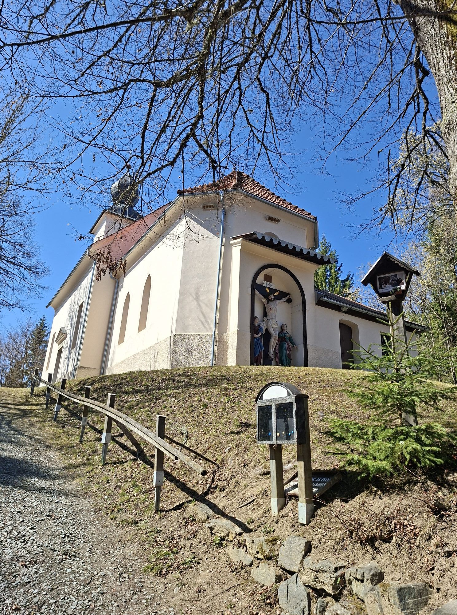
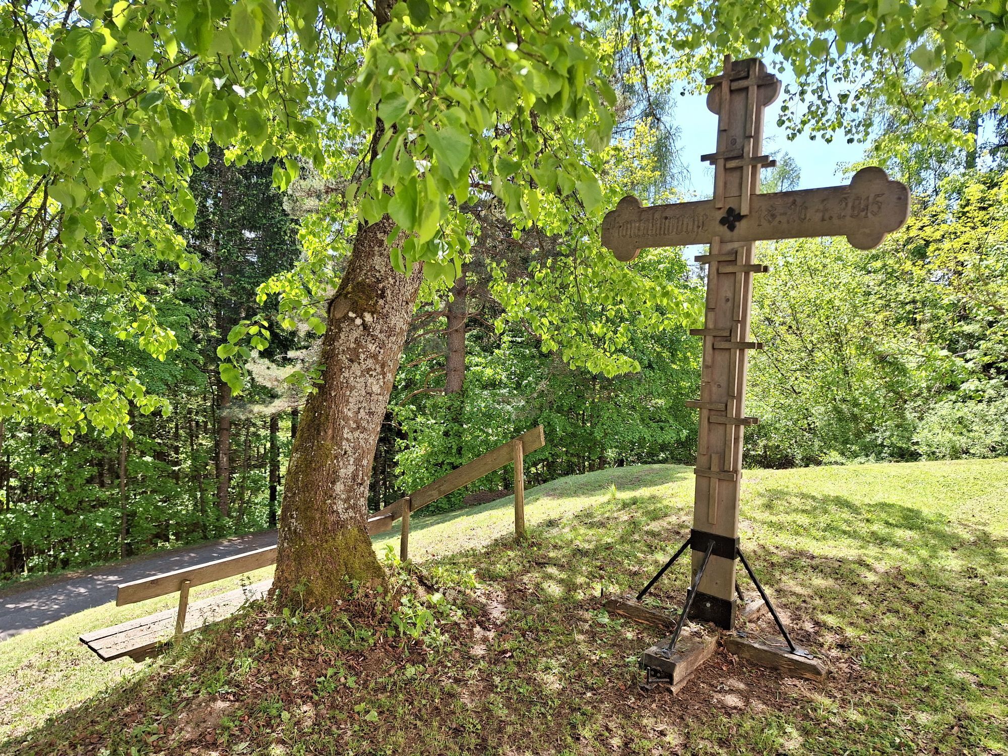
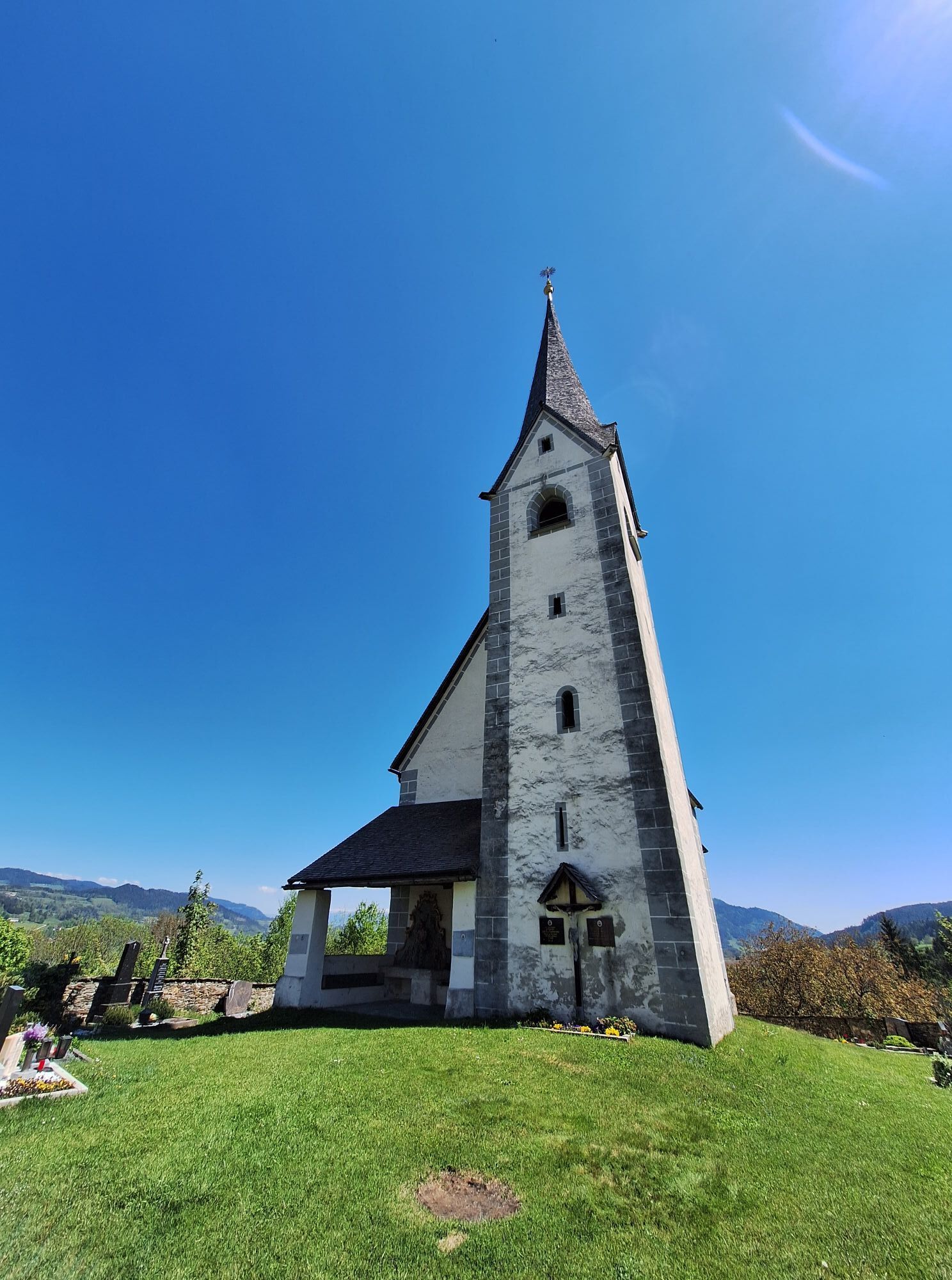
The hike from Glanegg via Maria Feicht to Freudenberg and St. Gandolf covers about 15 kilometers and offers a varied route through Carinthia's landscape. The starting point is Glanegg, a picturesque village...
The hike from Glanegg via Maria Feicht to Freudenberg and St. Gandolf covers about 15 kilometers and offers a varied route through Carinthia's landscape. The starting point is Glanegg, a picturesque village surrounded by green hills. The path leads through meadows and forests, past the pilgrimage church of Maria Feicht with its impressive frescoes. Next is Freudenberg, where you can discover historic buildings and idyllic spots. The route then continues to St. Gandolf, known for its monastery complex and the Peace Chapel. The hike offers beautiful views and cultural insights into Carinthia's history, ideal for hikers who want to connect nature and culture.

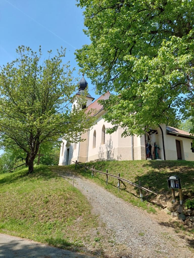
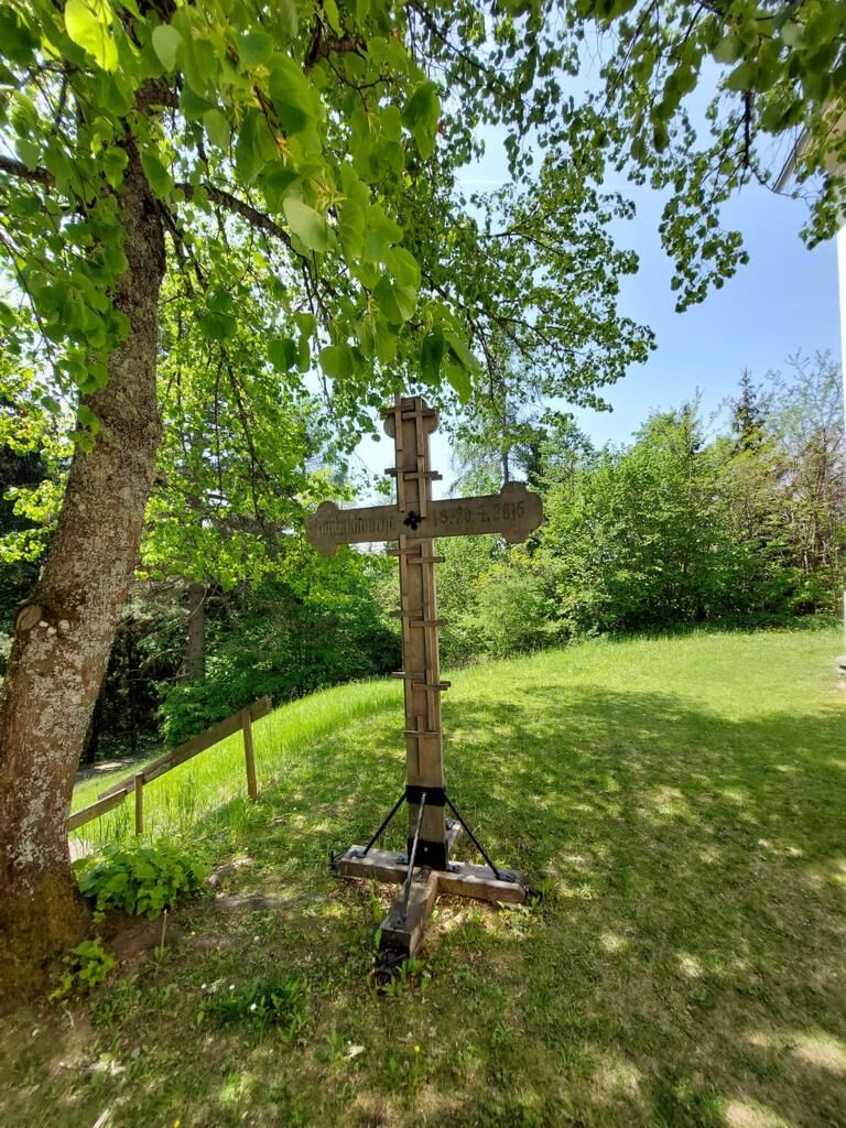

From the municipal office, head southeast until you reach the Flatschacher Landesstraße L70A. Cross the street and walk on an asphalted field path to the church of Maria Feicht. Keep right and follow a short stretch of the country road until you turn left towards Freudenberg. Now it goes uphill, you will reach a small wayside shrine and a dilapidated house - passing a pond, continue towards Nußberg. Before the farmstead, turn right into the forest and follow the forest path until you reach the church in Freudenberg.
On the way back, walk down the street (which is also the church's way of the cross) until you reach Krainig. There, make a sharp right turn and follow the field path and later the forest path downhill until you reach the country road. Keep right and continue to St. Gandolf. After enjoying the view at the church, return along the country road until you turn right onto a forest path. Follow this path to the Wernhof holiday ranch and continue downhill to Glantscha. There you reach the L70A, which you follow briefly until the junction towards Glanegg. Now it's another 1 km along the railway back to Glanegg.
Tak
Sturdy footwear, hiking provisions, and weather-appropriate clothing
Let someone know where you are going and when you will be back
From St. Veit/Glan or Feldkirchen, take the B94 to the Glanegg junction.
ÖBB railway line St. Veit - Feldkirchen
Timetable
https://www.oebb.at/de/dam/jcr:39c9ba1f-1aa2-4741-94c8-8fbfc39476a2/kif651.pdf
Bus connection Glanegg - Klagenfurt (stop in front of Glanegg station)
Parking spaces are available at the municipal office or next to the station
can be found at the information office
Glanegg ruins
Uzyskaj wgląd
Zawsze na żywo z ponad 9 500 kamer internetowych. bergfex Jako użytkownik Pro, możesz teraz zobaczyć odpowiednie kamery internetowe dla wielu wycieczek w aplikacji wycieczki od. Pozwala to na bezpośredni podgląd aktualnych warunków.
Popularne wycieczki w okolicy
-
5,0
Wörthersee EXTREM
ciężkiWędrówka 60,1 km -
4,6
Pyramidenkogel path Maria Wörth
średniWędrówka 10,8 km -
4,6
Hoher Gallin route
średniWędrówka 7,09 km -
4,4
Cycling around Lake Wörthersee – leisurely cycling between turquoise blue water and fantastic views
średniJazda na rowerze 48,2 km -
4,3
Lake Wörthersee Circular Route
średniJazda na rowerze 41,2 km -
4,8
Abenteuer-Wasser-Weg
średniWędrówka 9,13 km -
4,7
Zillhöhe
średniBieganie 7,94 km -
4,7
Vierbergelauf
średniTrasa pielgrzymki 47,6 km -
4,1
Slow Trail Bleistätter Moor (Variant A)
światłoWędrówka 7,22 km -
4,5
Ulrichsberg
światłoWędrówka 5,60 km
Wędrówki i tropienie


Nie przegap ofert i inspiracji na następne wakacje
Twój adres e-mail została dodana do listy mailingowej.





