


Lonzarunde - Obervellach
From the Almgasthof Himmelbauer, follow the forest road briefly towards Staneralm and soon turn right onto the "Gugganigriegel." This is a partially steep forest ridge that meets the trail leading from...
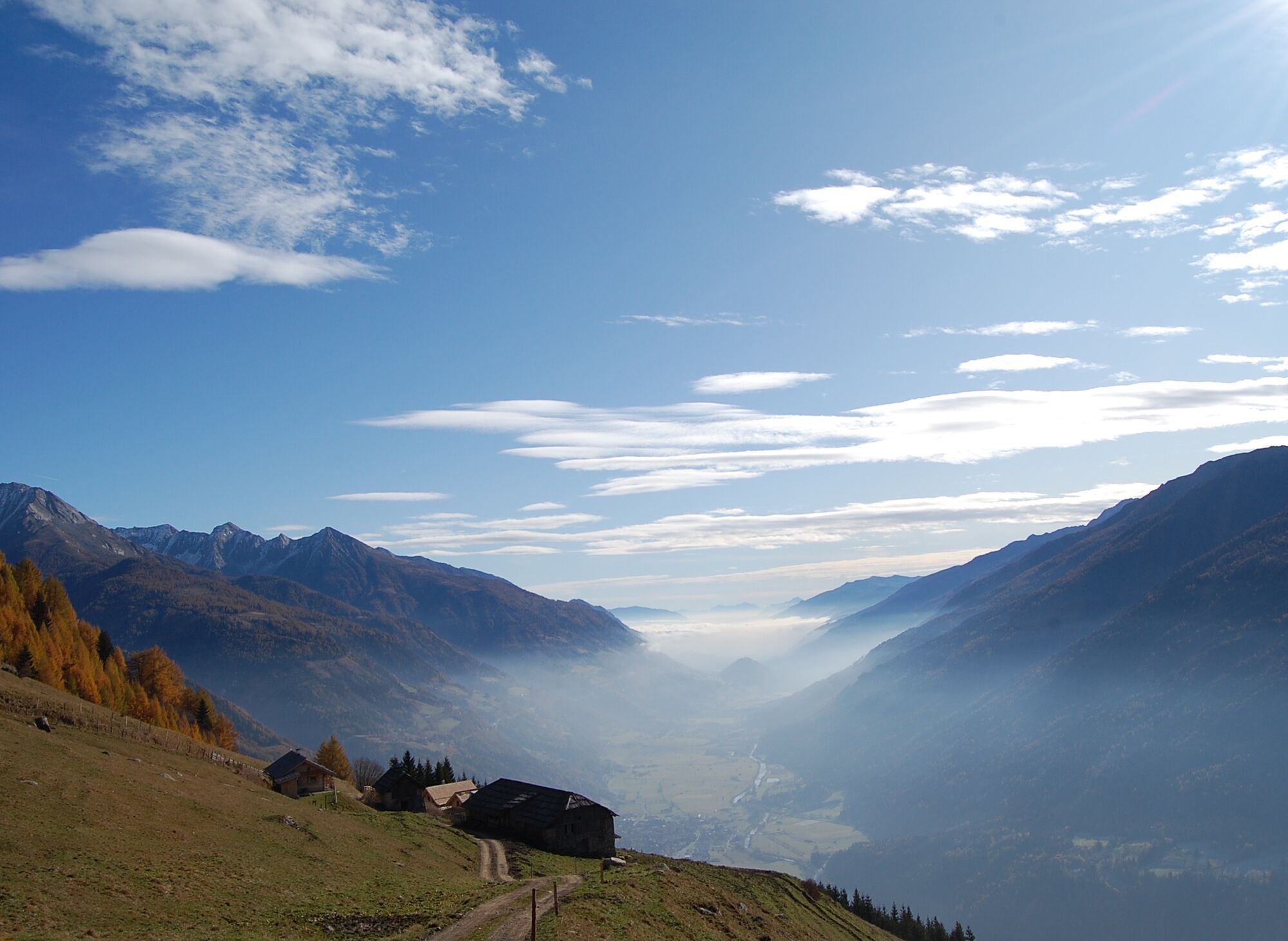
From the Almgasthof Himmelbauer, follow the forest road briefly towards Staneralm and soon turn right onto the "Gugganigriegel." This is a partially steep forest ridge that meets the trail leading from Staneralm at the tree line, which we will use for the descent. Initially, however, we stay on the ridge and hike over the Lassacherhöhe and Stanerne-Mandl to the Lonzaköpfl at 2,317 m above sea level. The Lonzaköpfl offers an exceptionally beautiful panoramic view in all directions.
The descent at first follows the same route as the ascent. We recommend the route via Staneralm from the tree line, which is more pleasant on the descent than the steep Gugganigriegel.


Tak
Tak
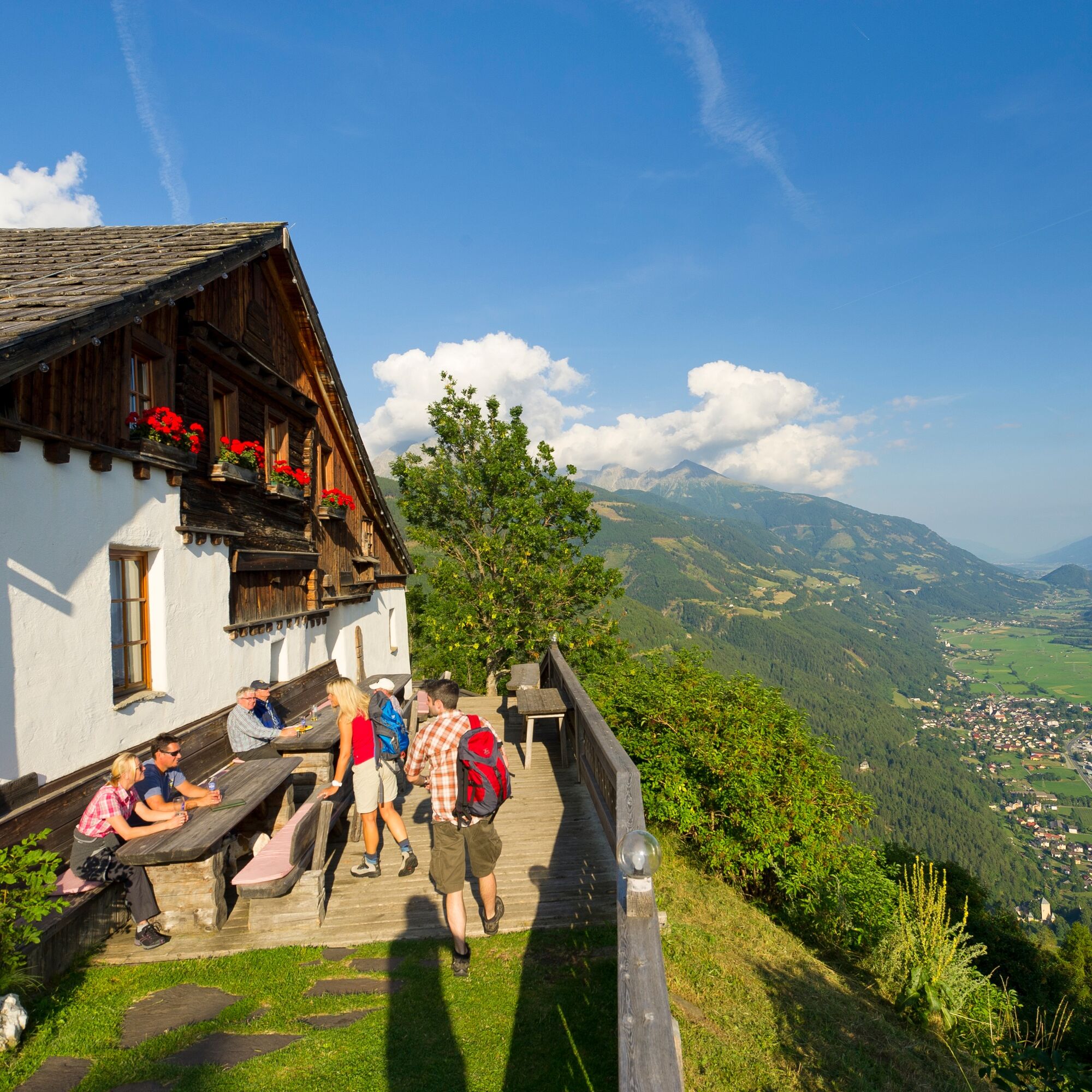
The Almgasthof Himmelbauer with its heavenly view spoils you culinary-wise with regional, rustic cuisine.
www.almgasthof-himmelbauer.at

Popularne wycieczki w okolicy
- 4,4
The Glockner cycle route R8
średniJazda na rowerze 89,7 km - 4,9
Schareck über Ostgrat
ciężkiWycieczka wysokogórska 13,3 km - 4,7
Access to Hagener hut from Jamnigalm
średniWędrówka 11,4 km - 5,0
Ankogelgruppe - Säuleck 3.086m - Detmolder Weg mit zu viel Schnee
ciężkiWycieczka wysokogórska 23 km - 4,6
Vorderer Geißelkopf
średniWycieczka wysokogórska 19,1 km - 4,6
Bad Gastein-Böckstein-Sportgastein(Schlechtwettervariante)
Wędrówka 17,2 km Säuleck South Wall Route
ciężkiVia ferrata 18,6 km- 4,8
Teuchlspitz
średniWędrówka 10,8 km - 3,0
Ankogelgruppe: Arnoldhöhe und Hannoverhaus
światłoWędrówka 2,46 km - 5,0
Mallnitz: Auernig 2130m, Törlkopf nord 2446m
średniWędrówka 8,59 km

Wędrówki i tropienie


Nie przegap ofert i inspiracji na następne wakacje
Twój adres e-mail została dodana do listy mailingowej.