



Mohar circuit

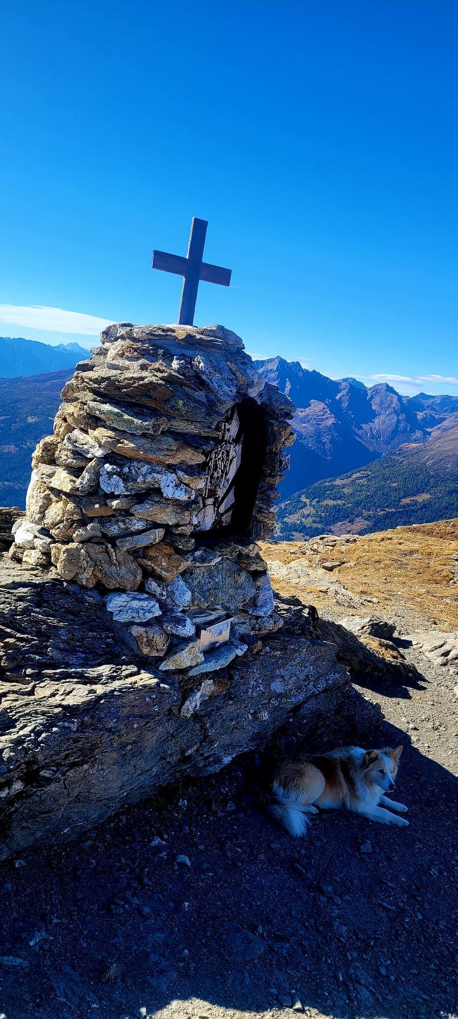
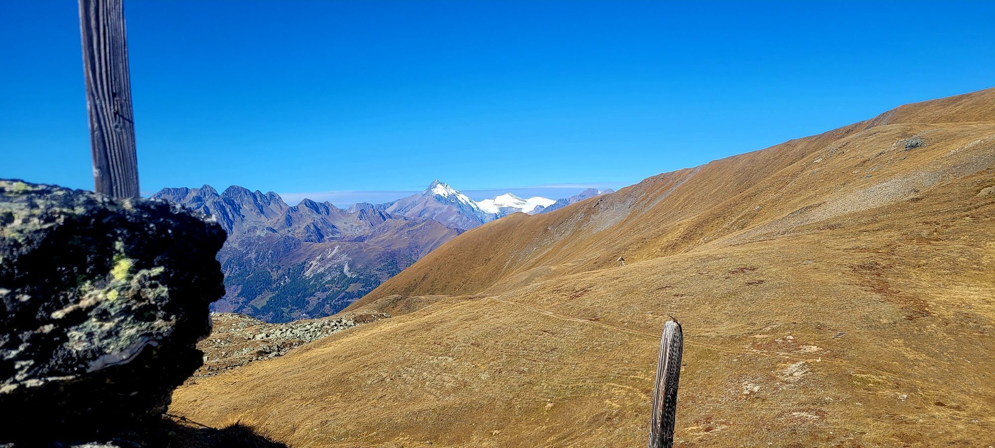
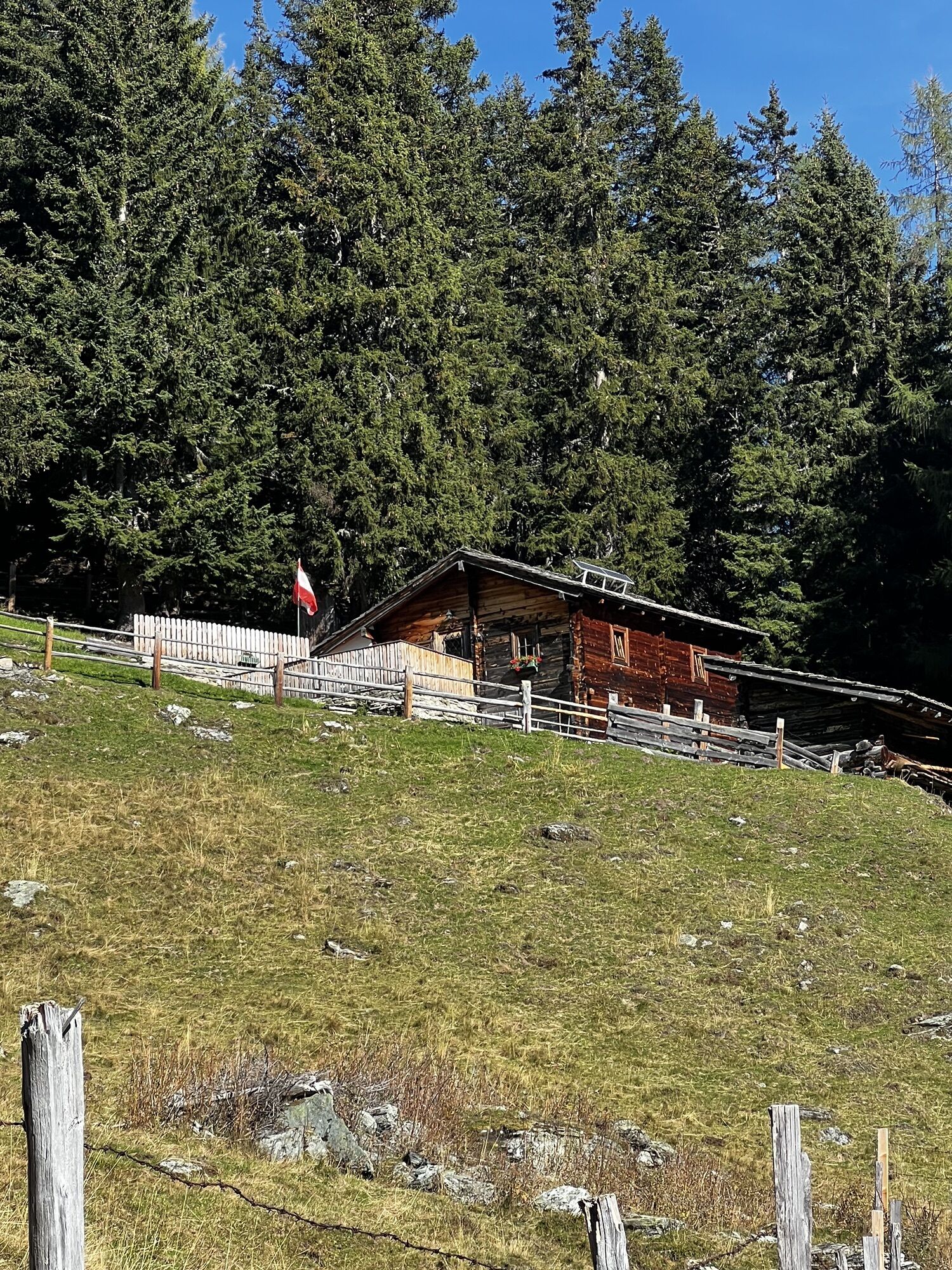
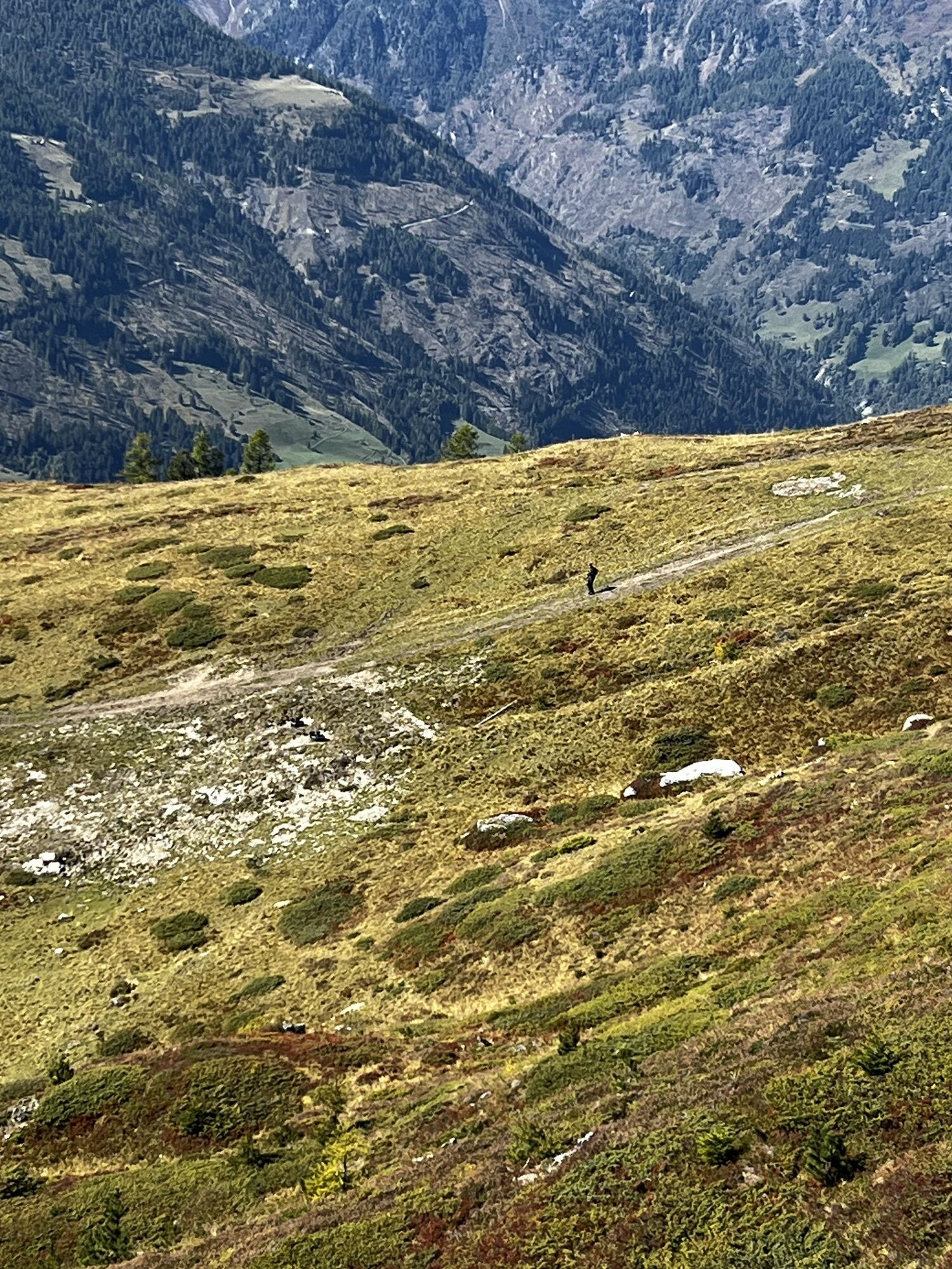
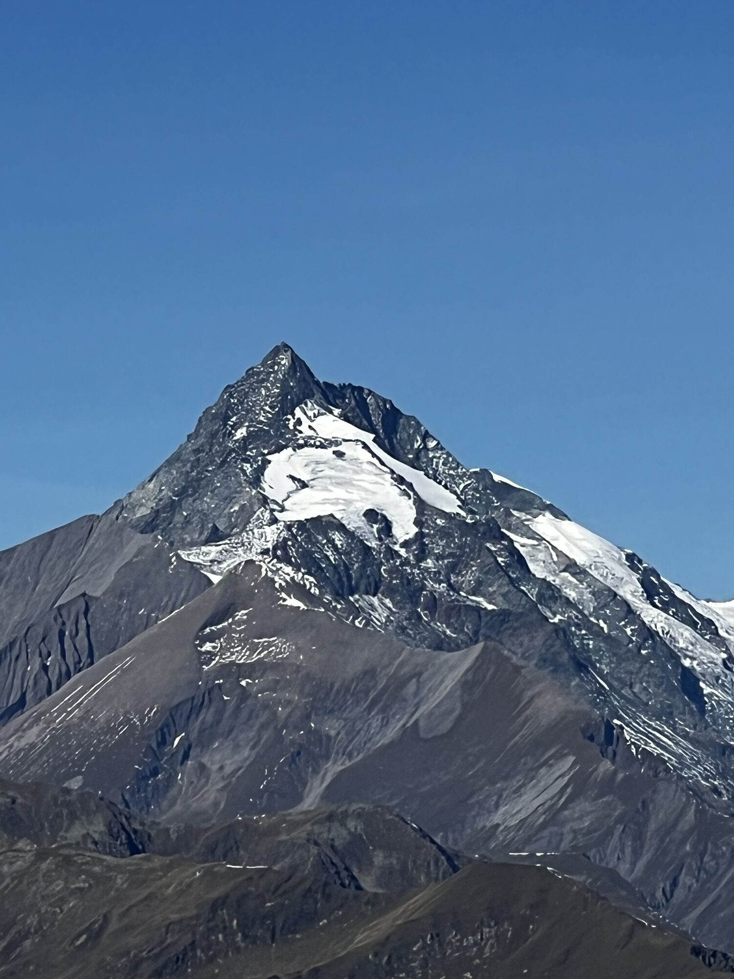
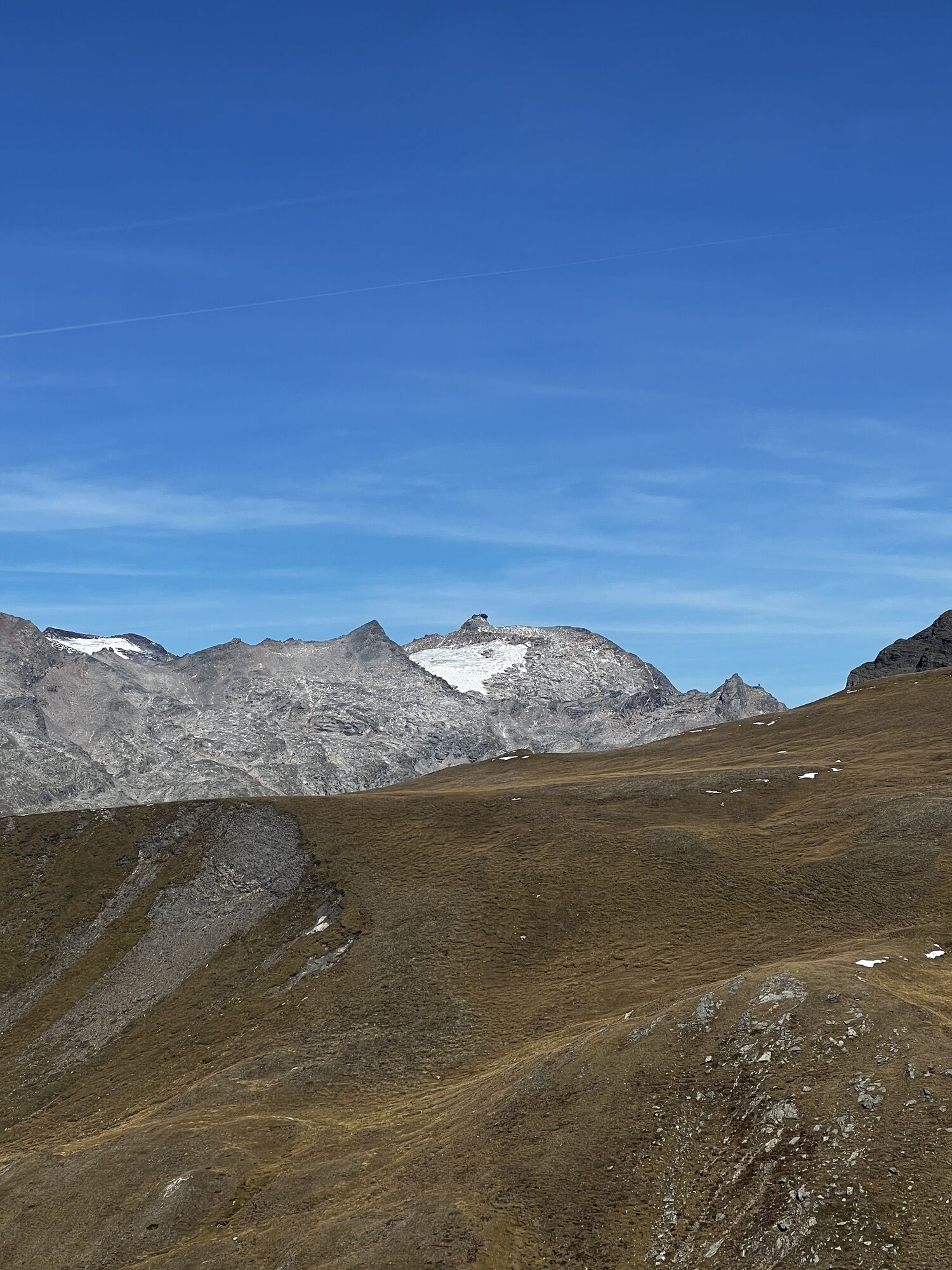
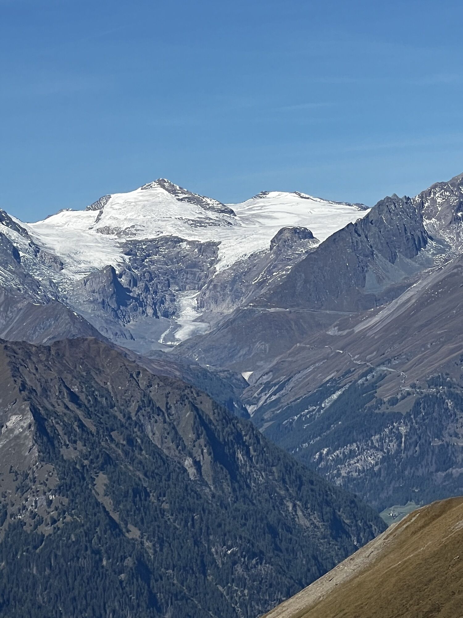
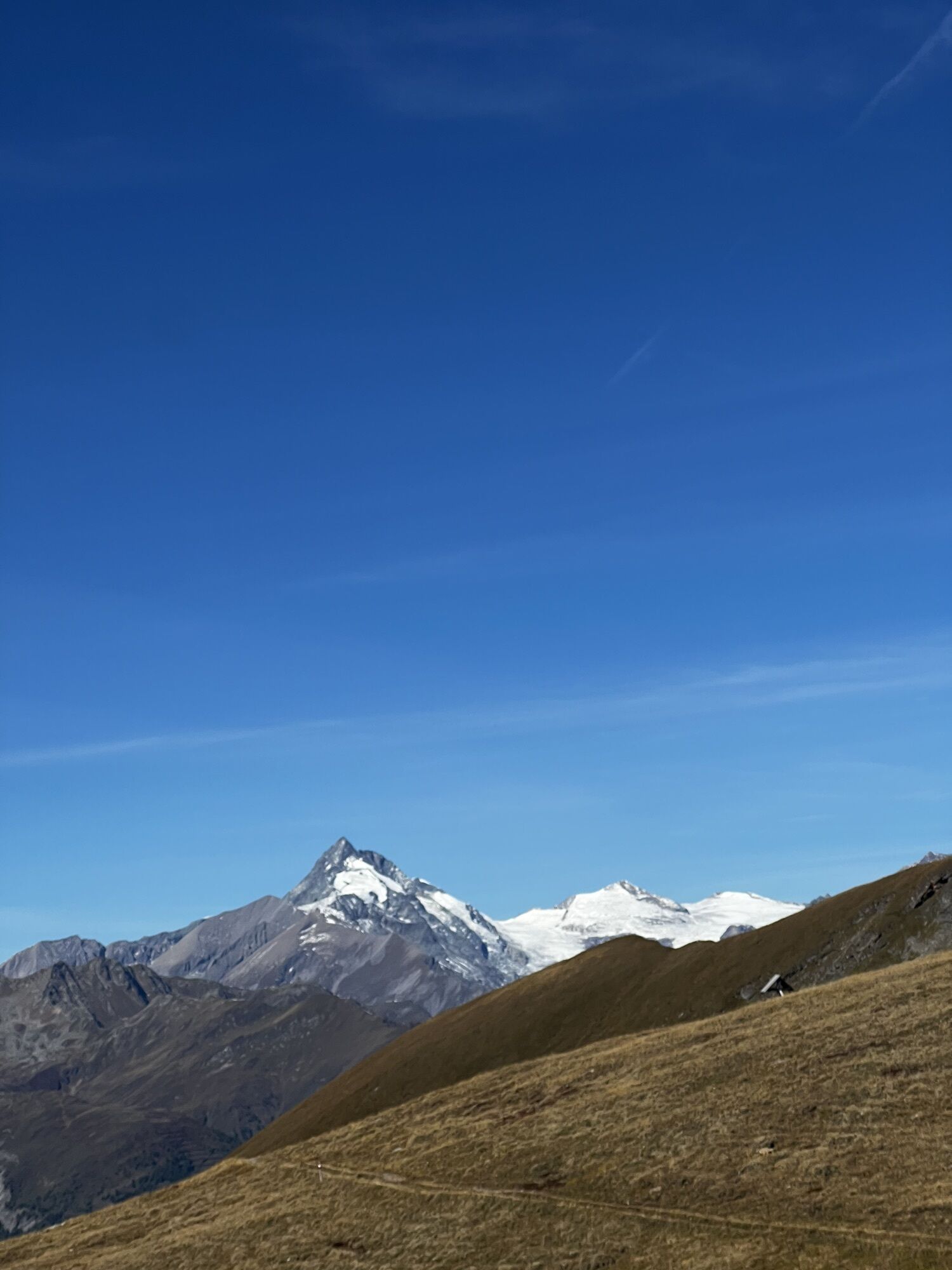
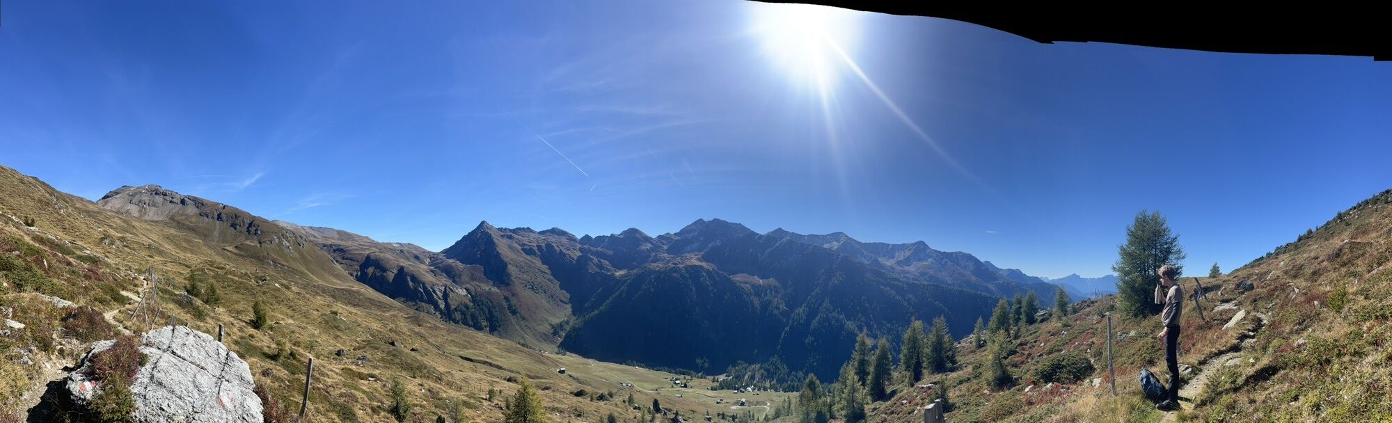
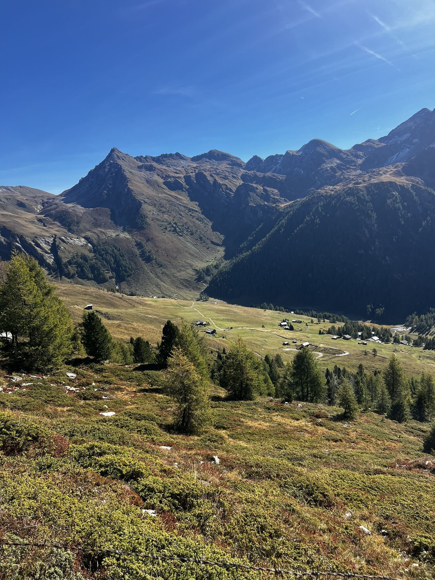
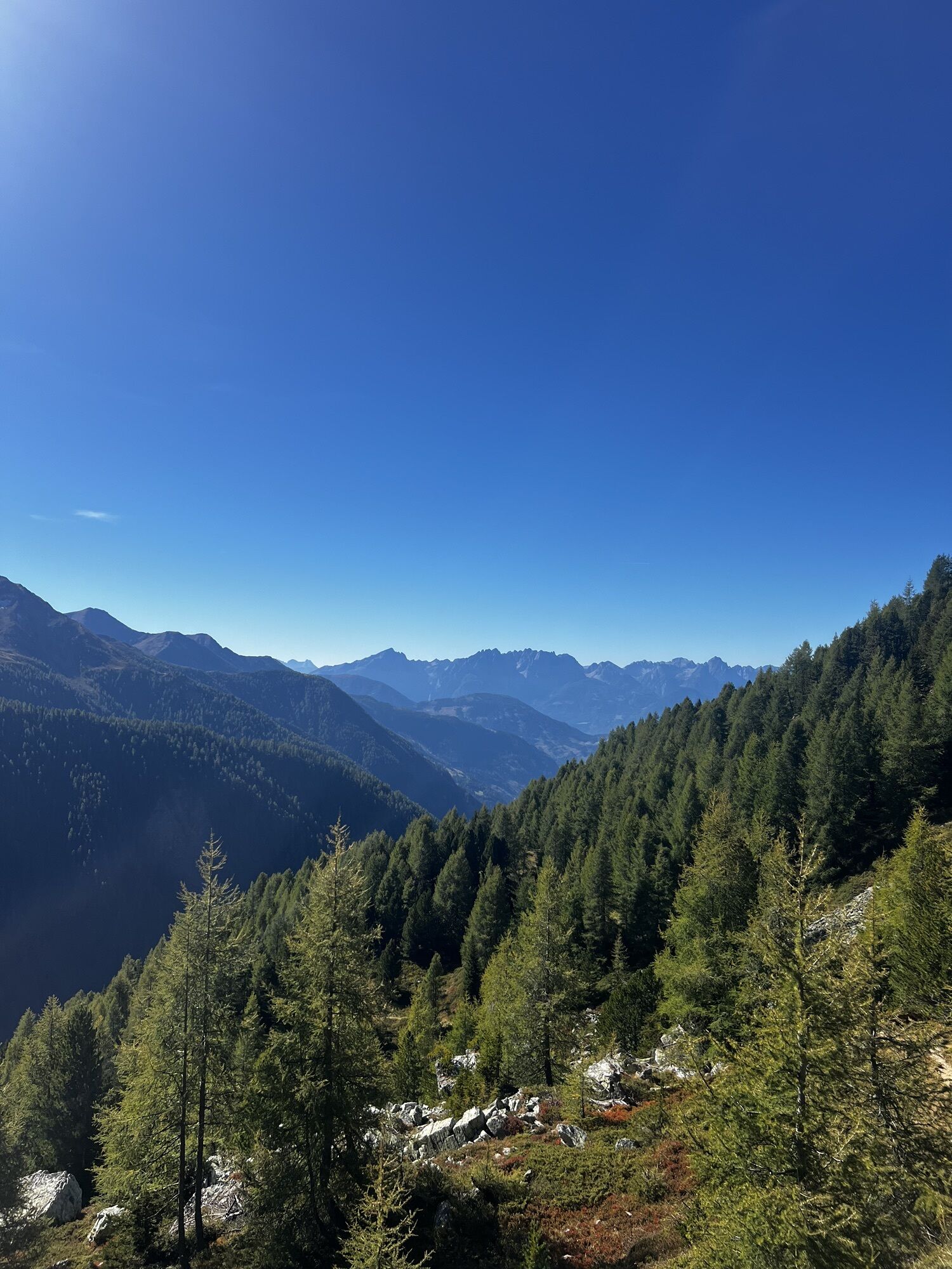
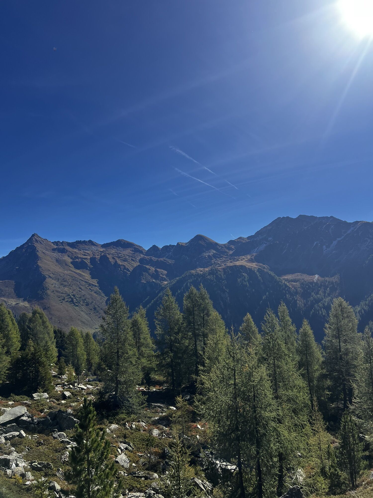
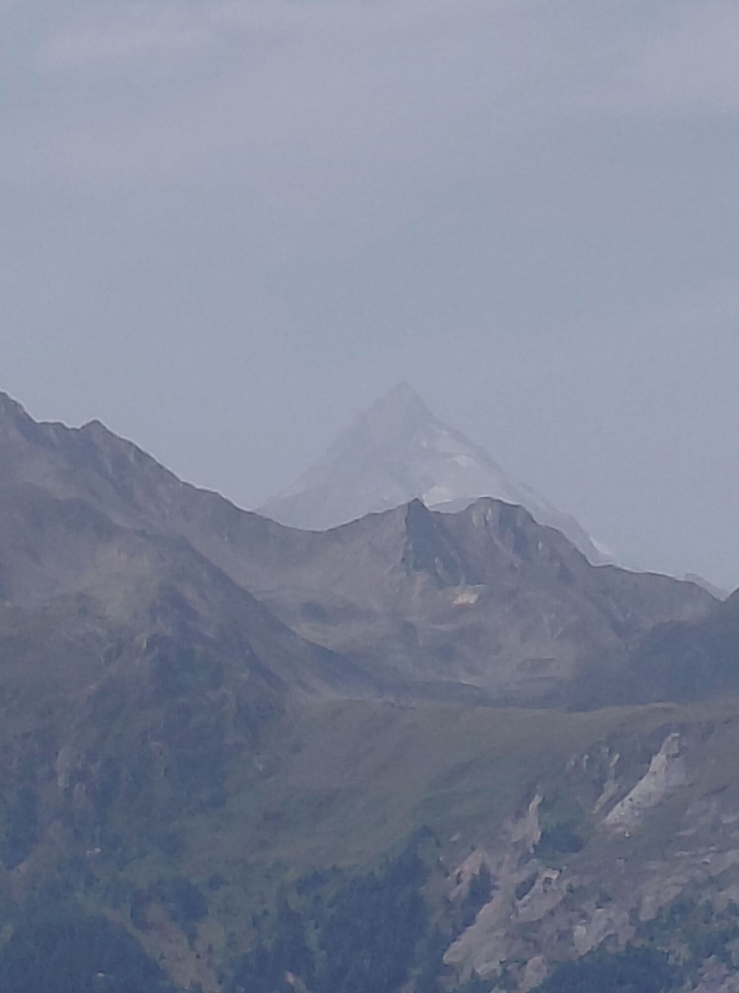
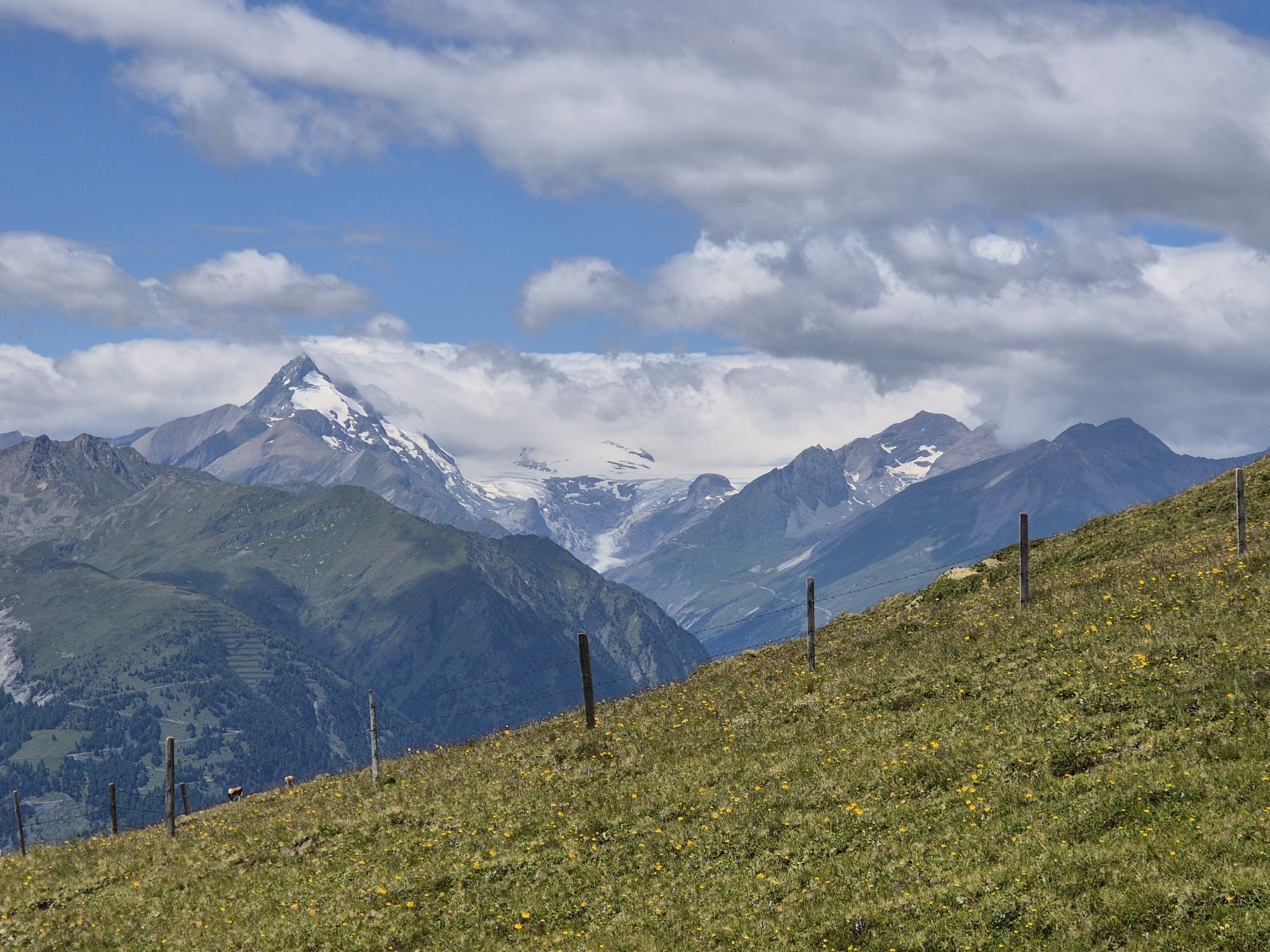
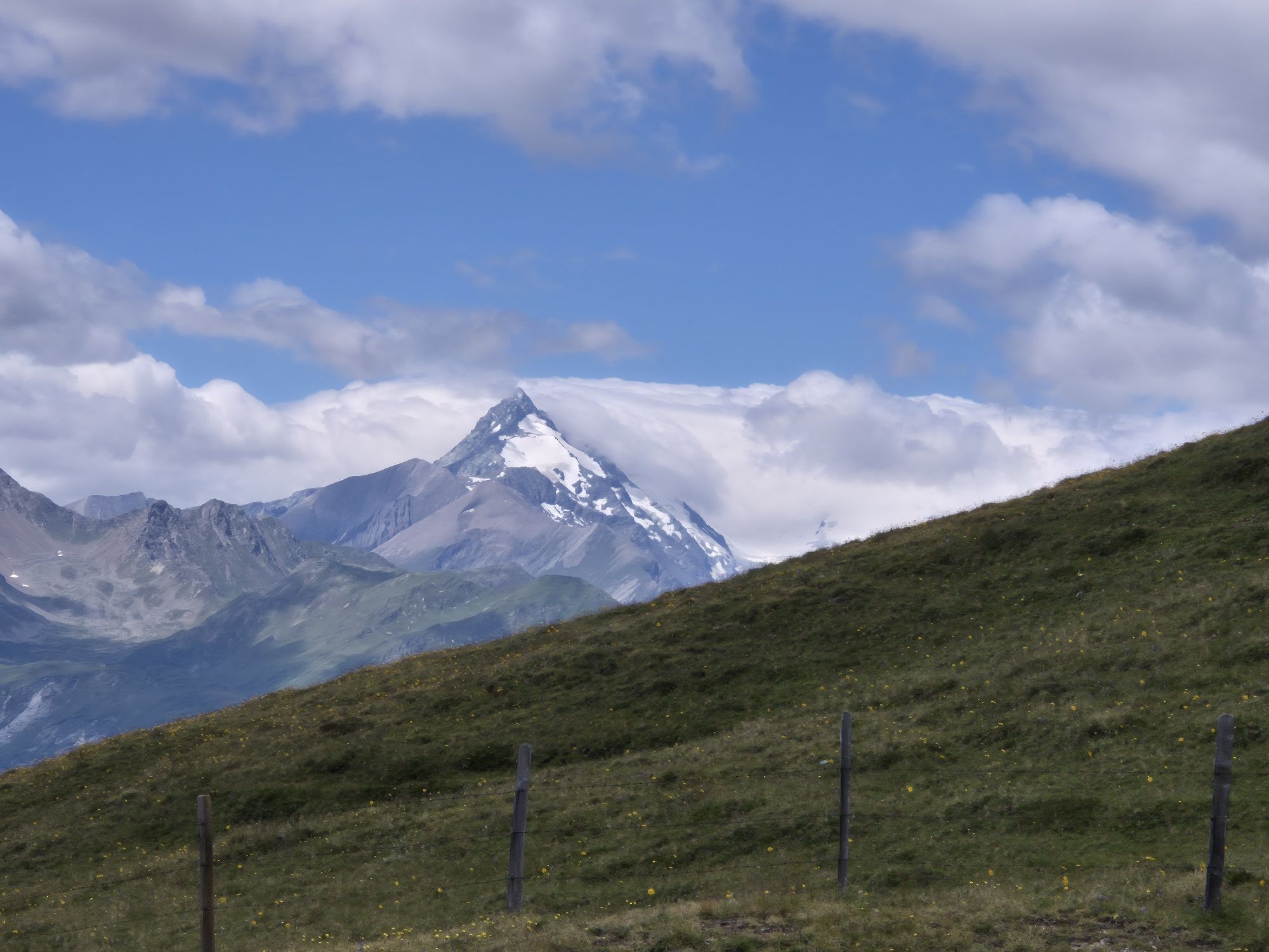
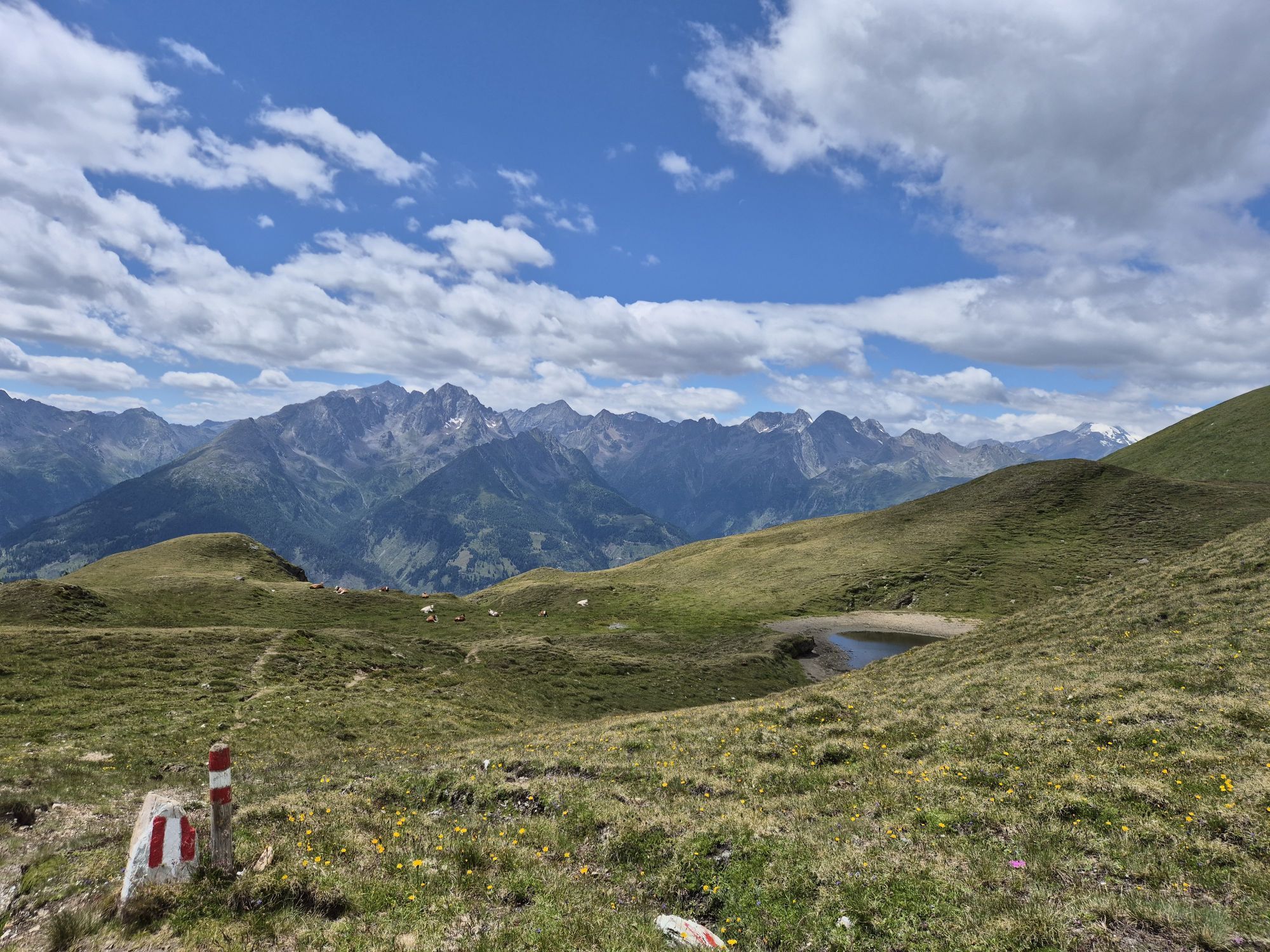
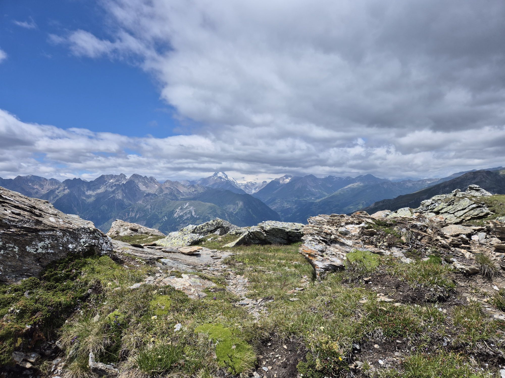
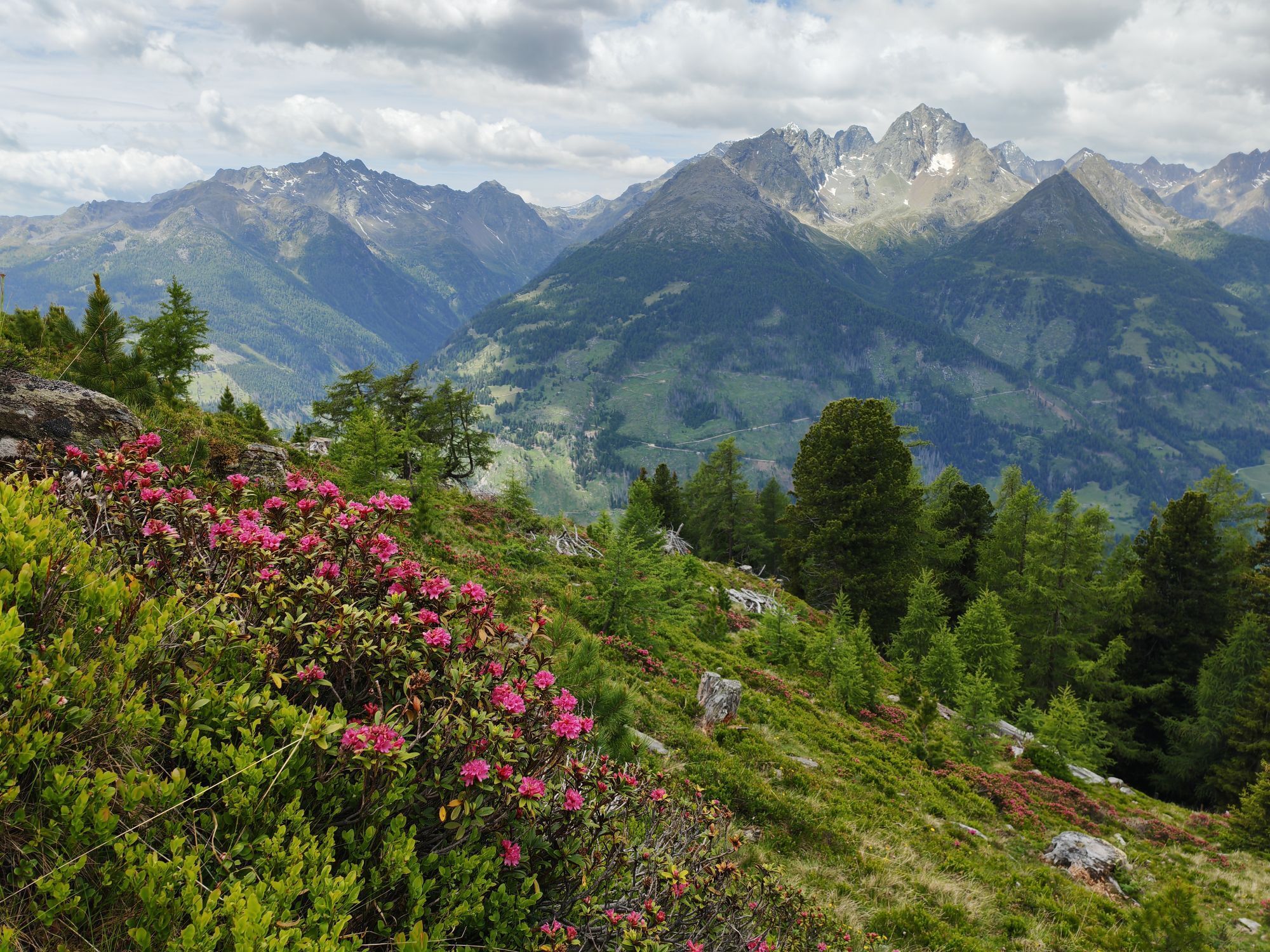
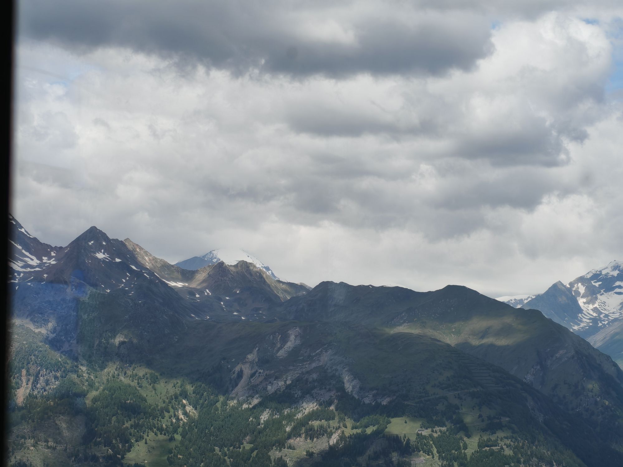
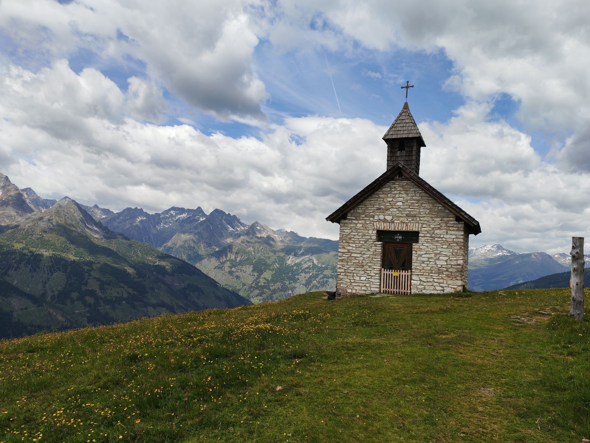
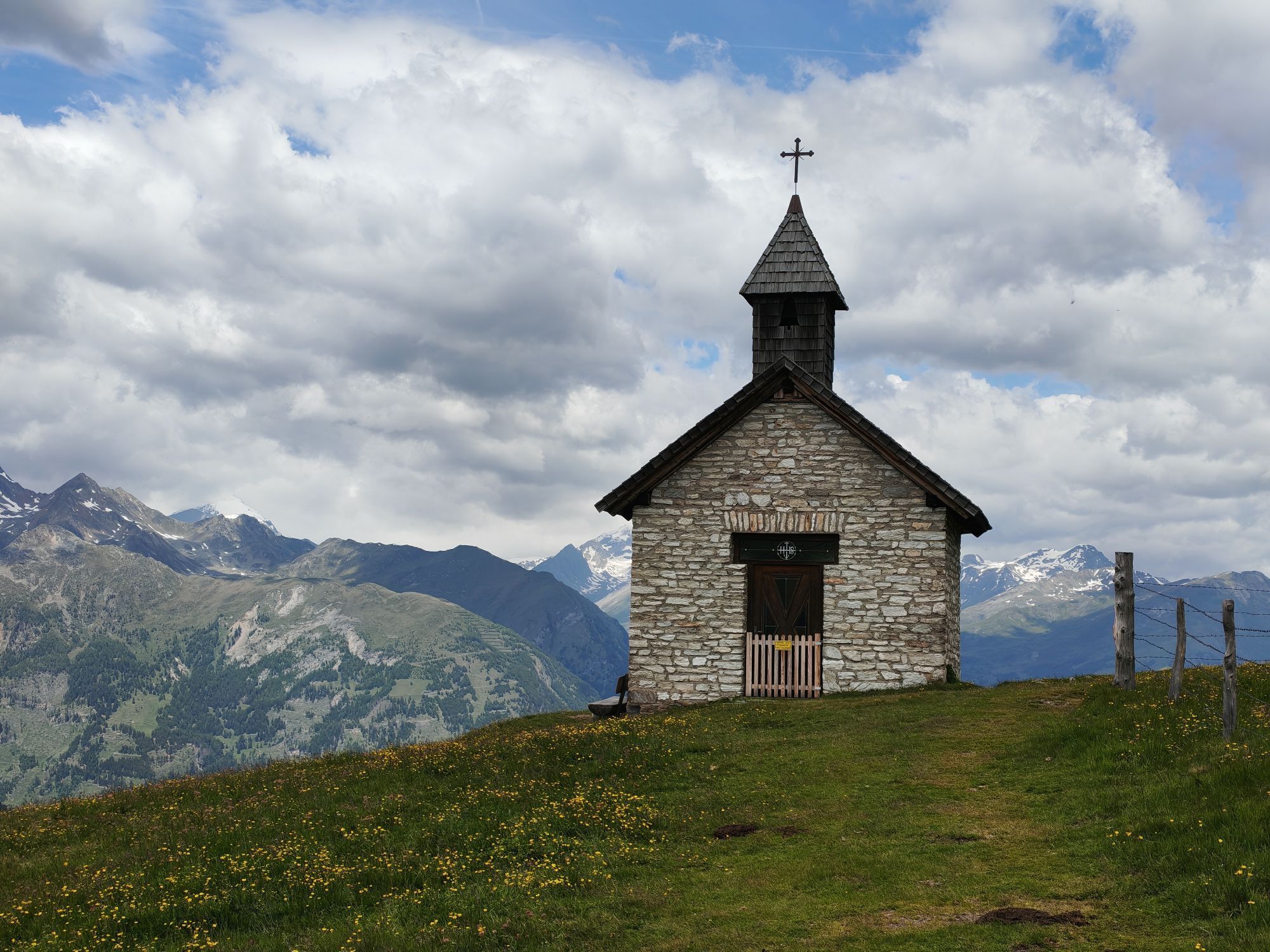
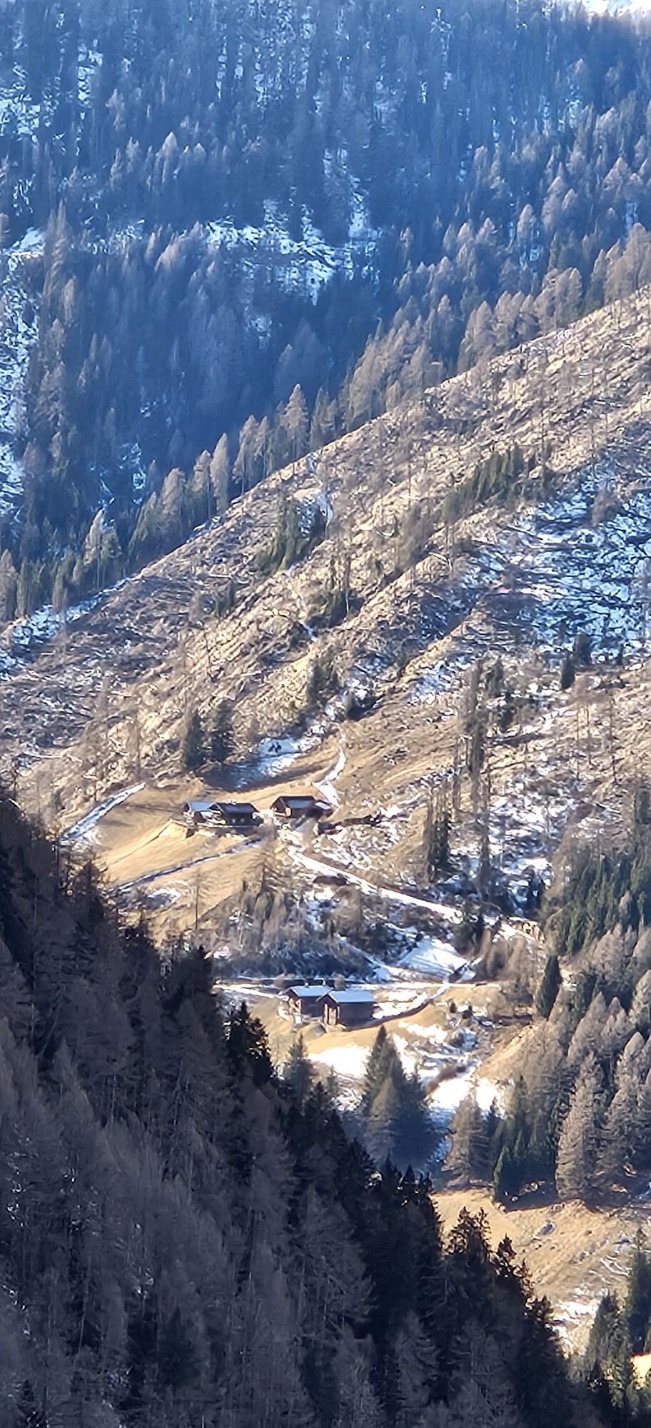
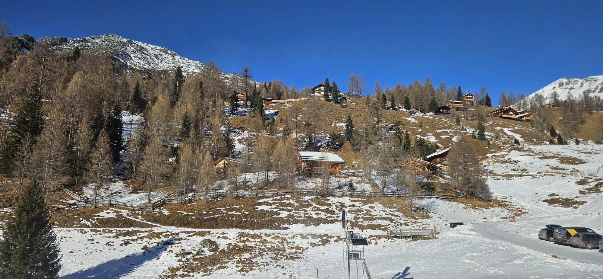
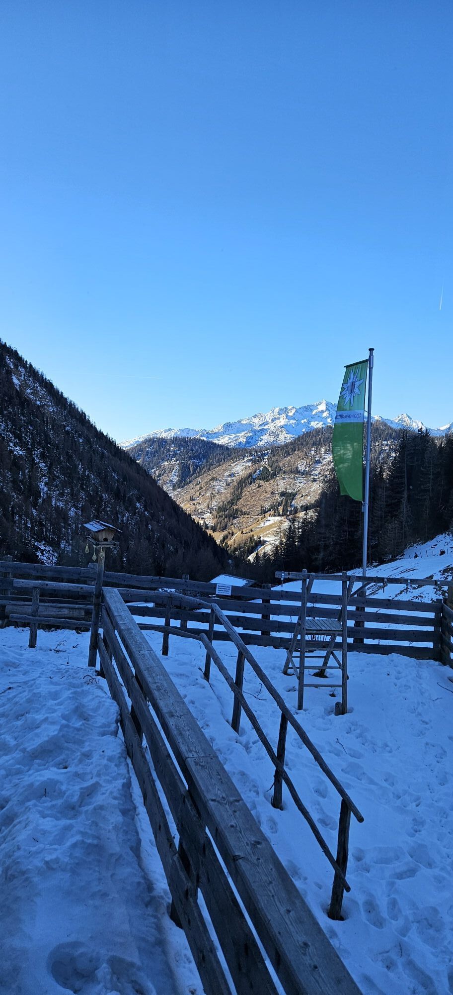
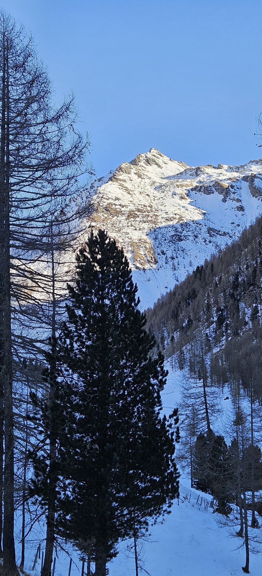

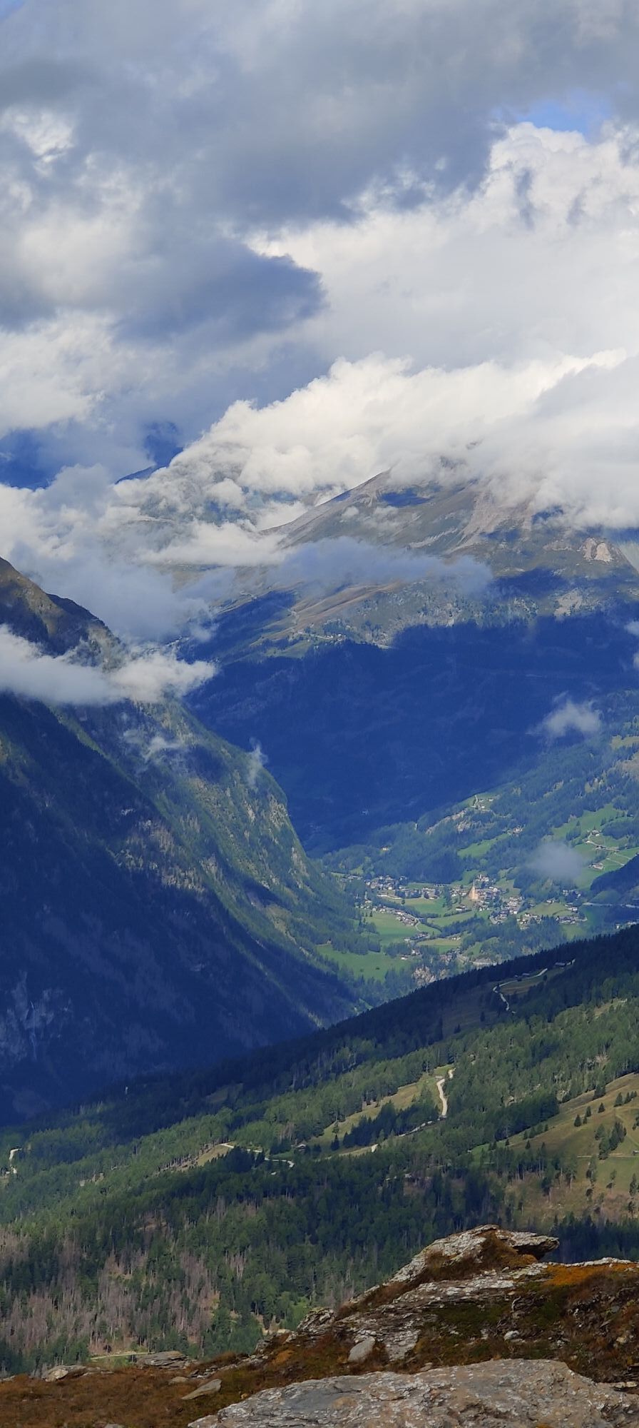

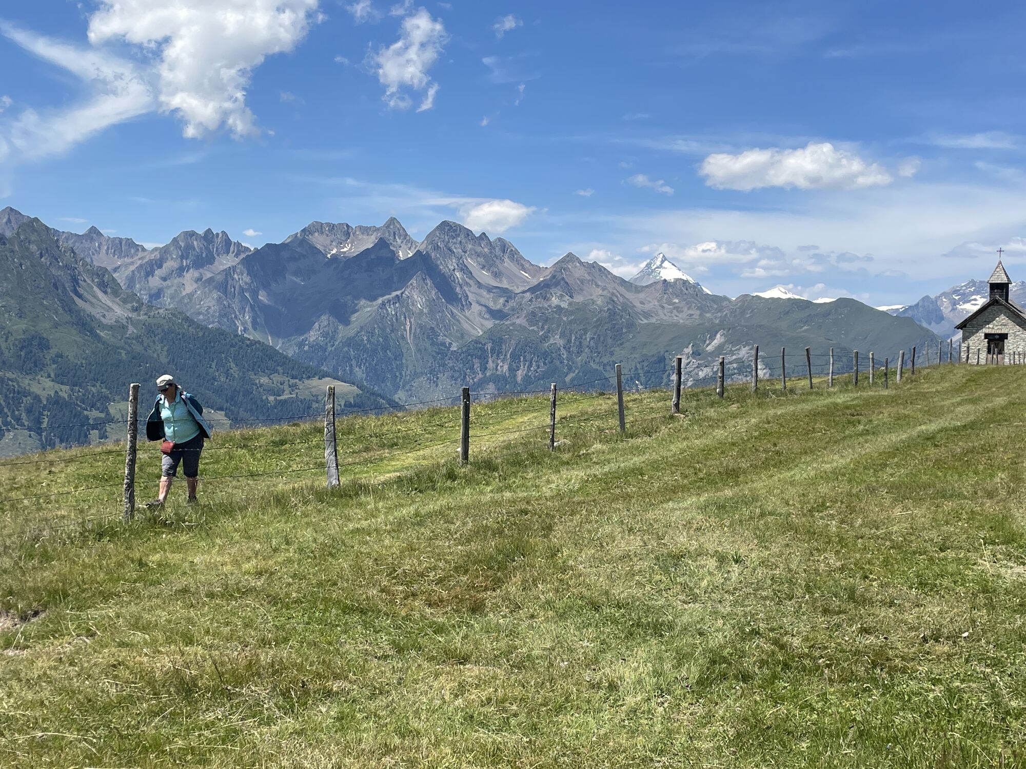
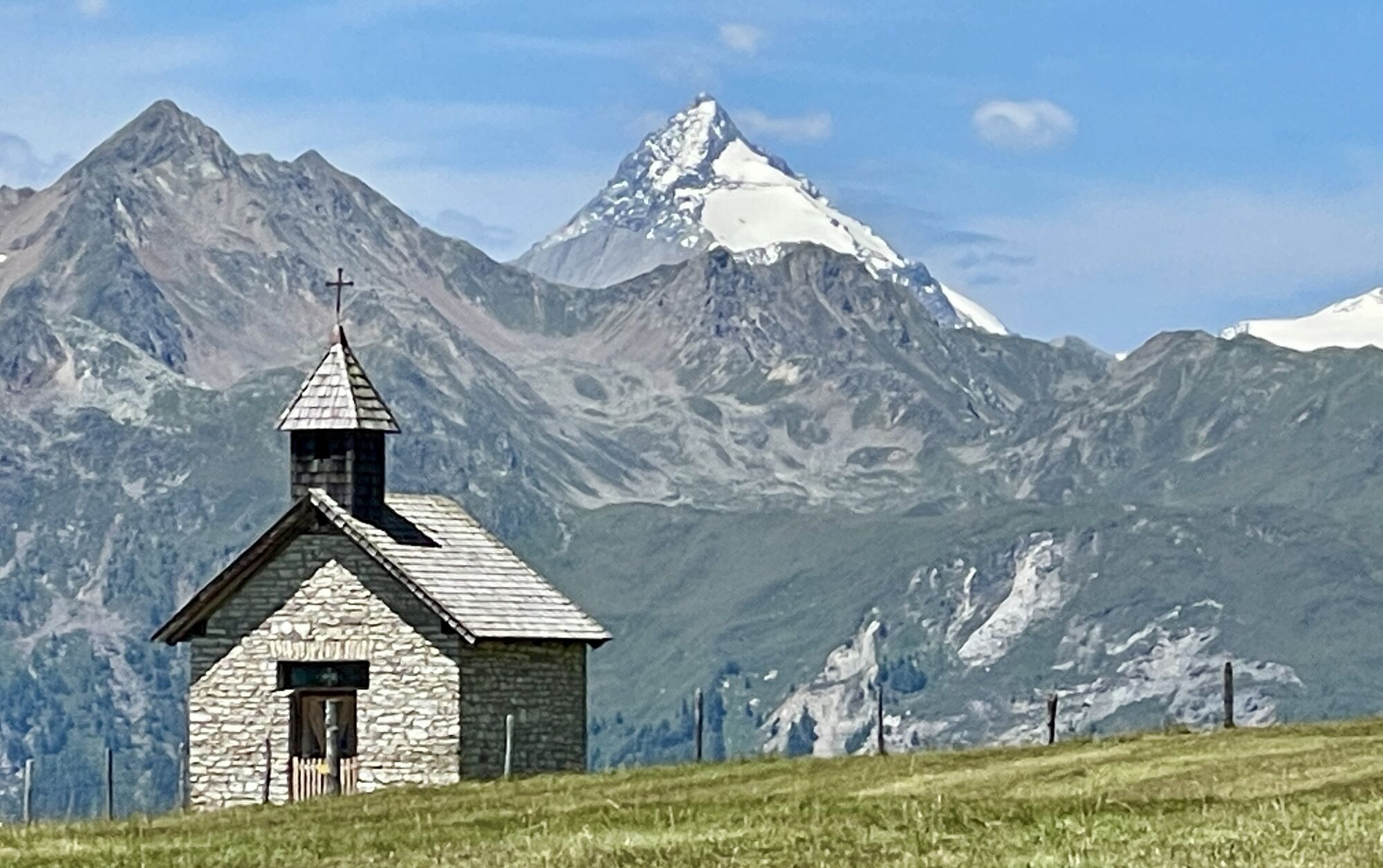
The view over Heiligenblut to the surrounding peaks is especially famous: Großglockner, Johannisberg, Hohe Riffl, Fuscherkarkopf – a picture like a painting. In early summer, the meadows are adorned with...
The view over Heiligenblut to the surrounding peaks is especially famous: Großglockner, Johannisberg, Hohe Riffl, Fuscherkarkopf – a picture like a painting. In early summer, the meadows are adorned with the most beautiful flowers – no wonder the Mohar is also known as the flower mountain.
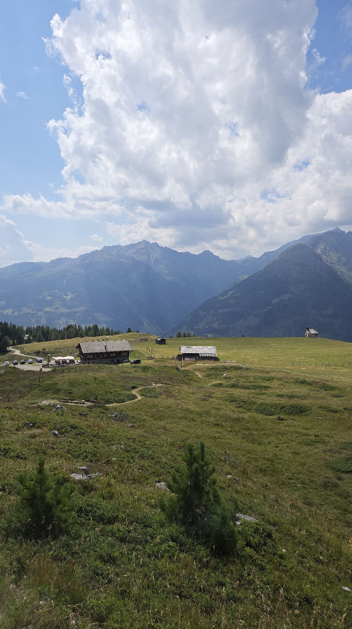
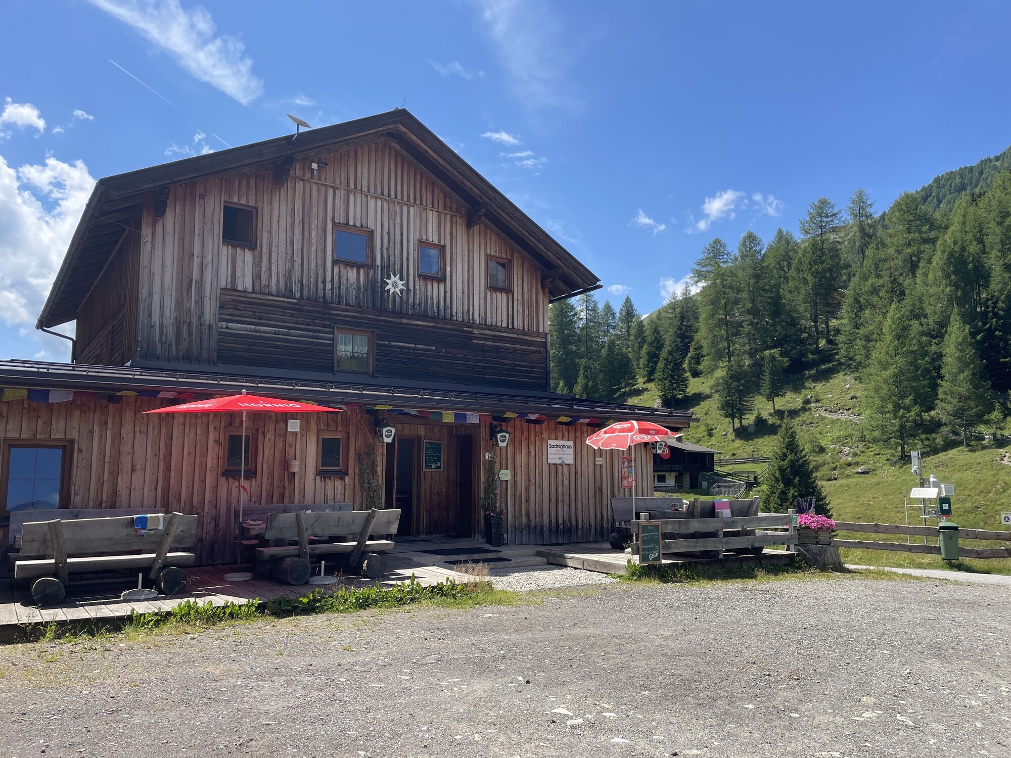
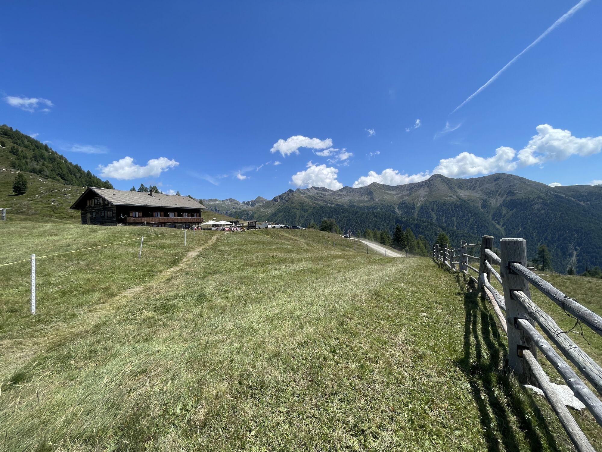
Places to dine at the Sadnighaus and at the Glocknerblick alpine guesthouse.
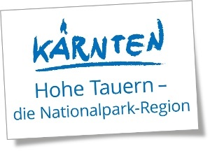


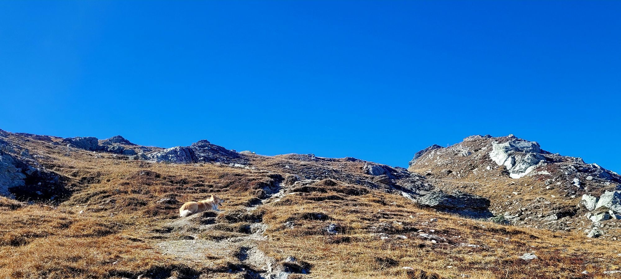
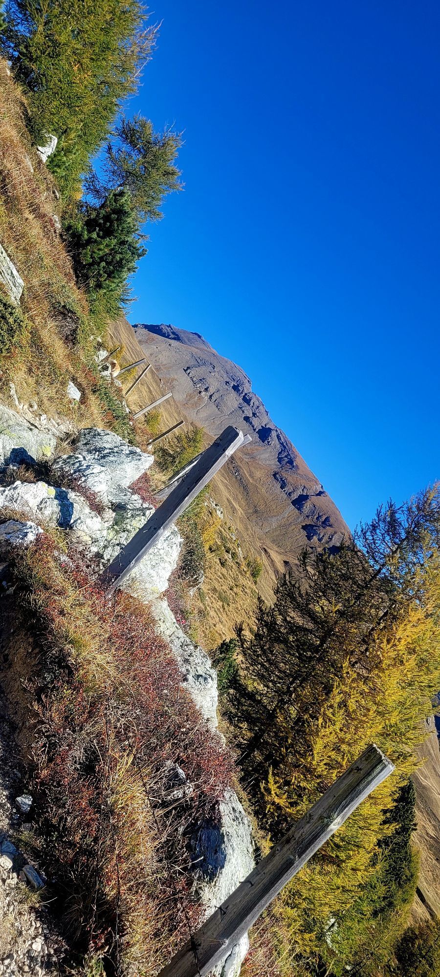
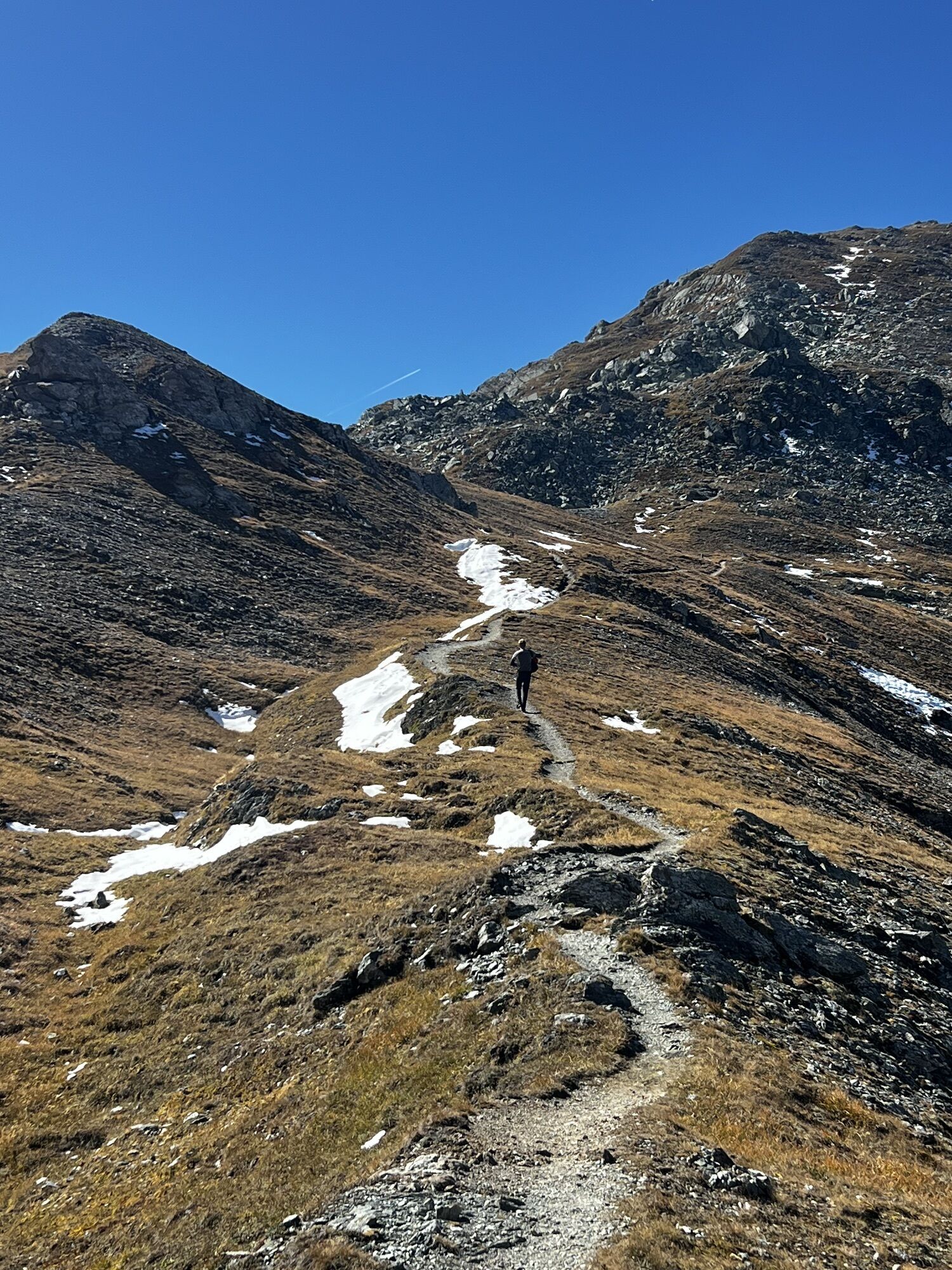
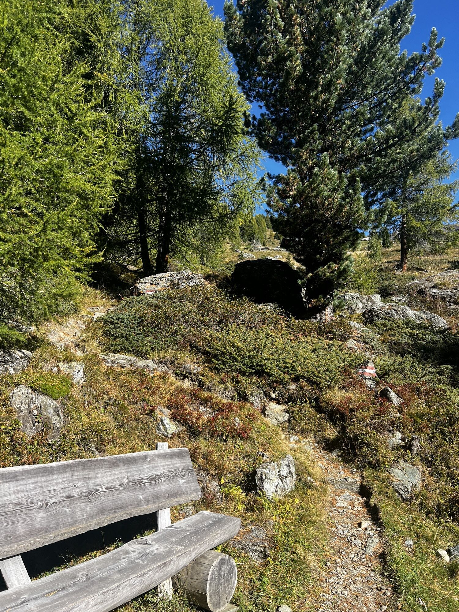
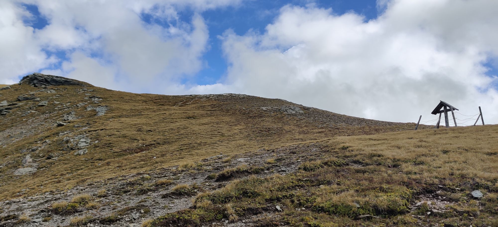
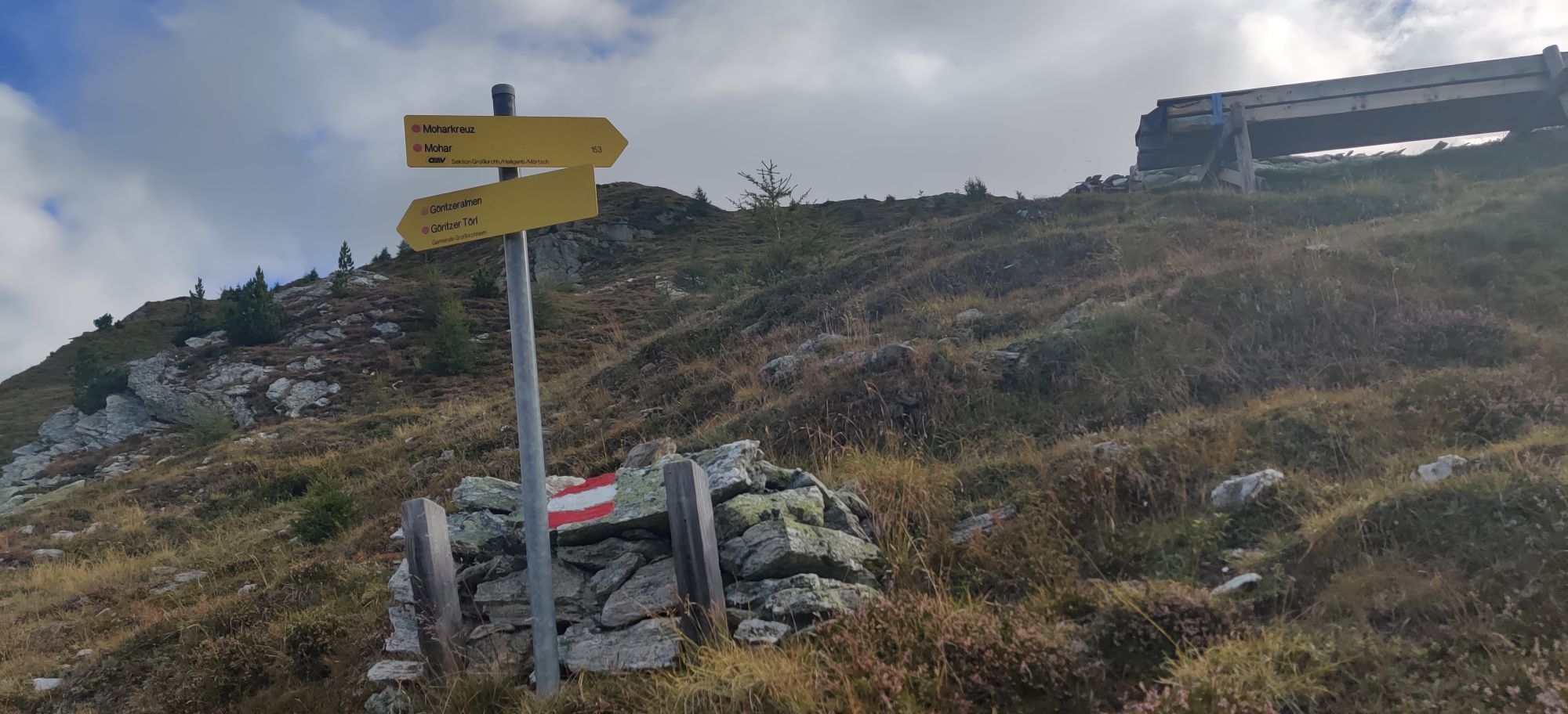
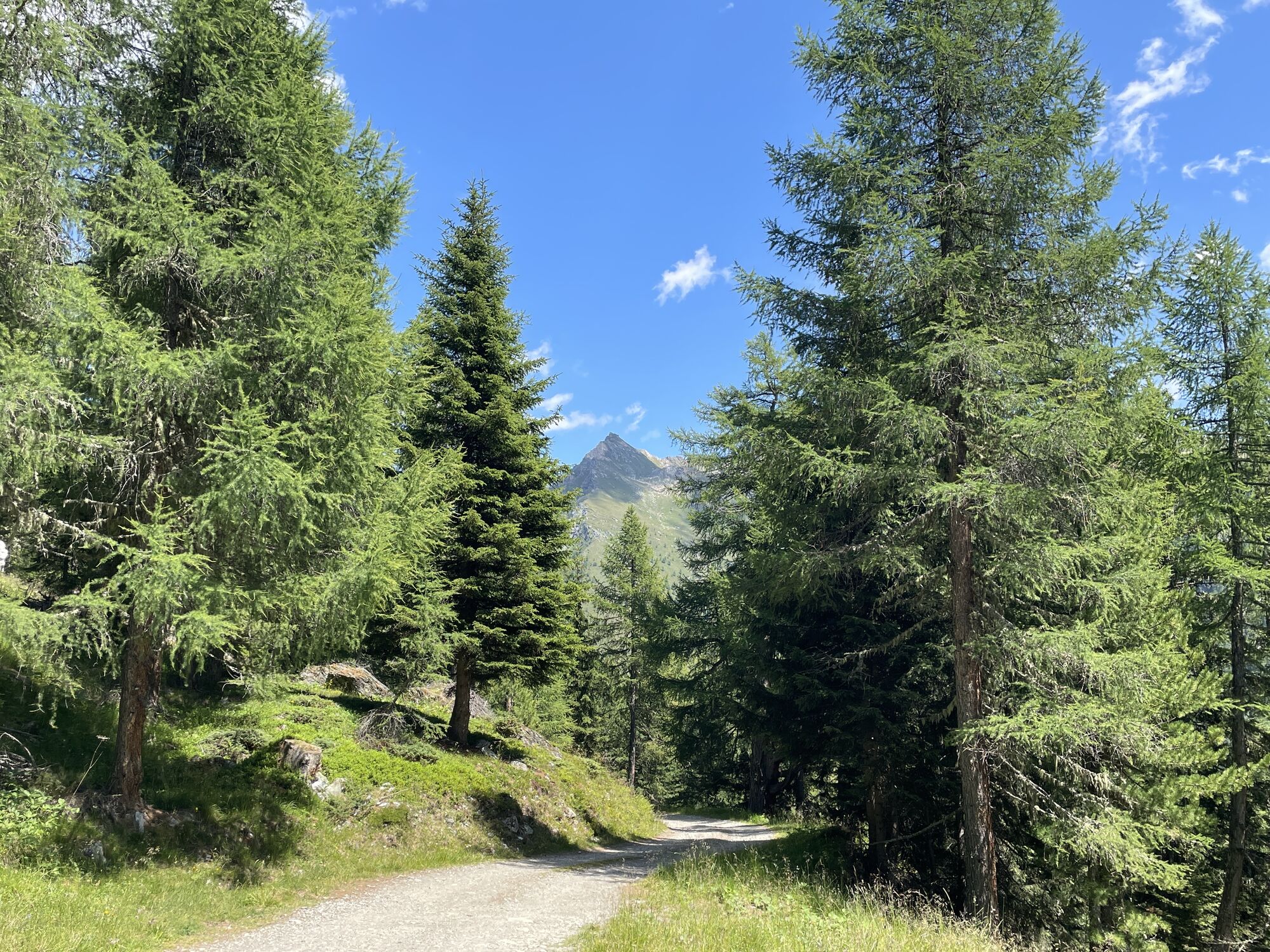
Immediately after the Sadnighaus, go left up a slightly steeper boardwalk (trail no. 153). We cross a forest road several times and climb up steep switchbacks to gentler alpine meadows and further to the Göritzertörl. A very steep but not dangerous ascent leads us further on the Mohar.
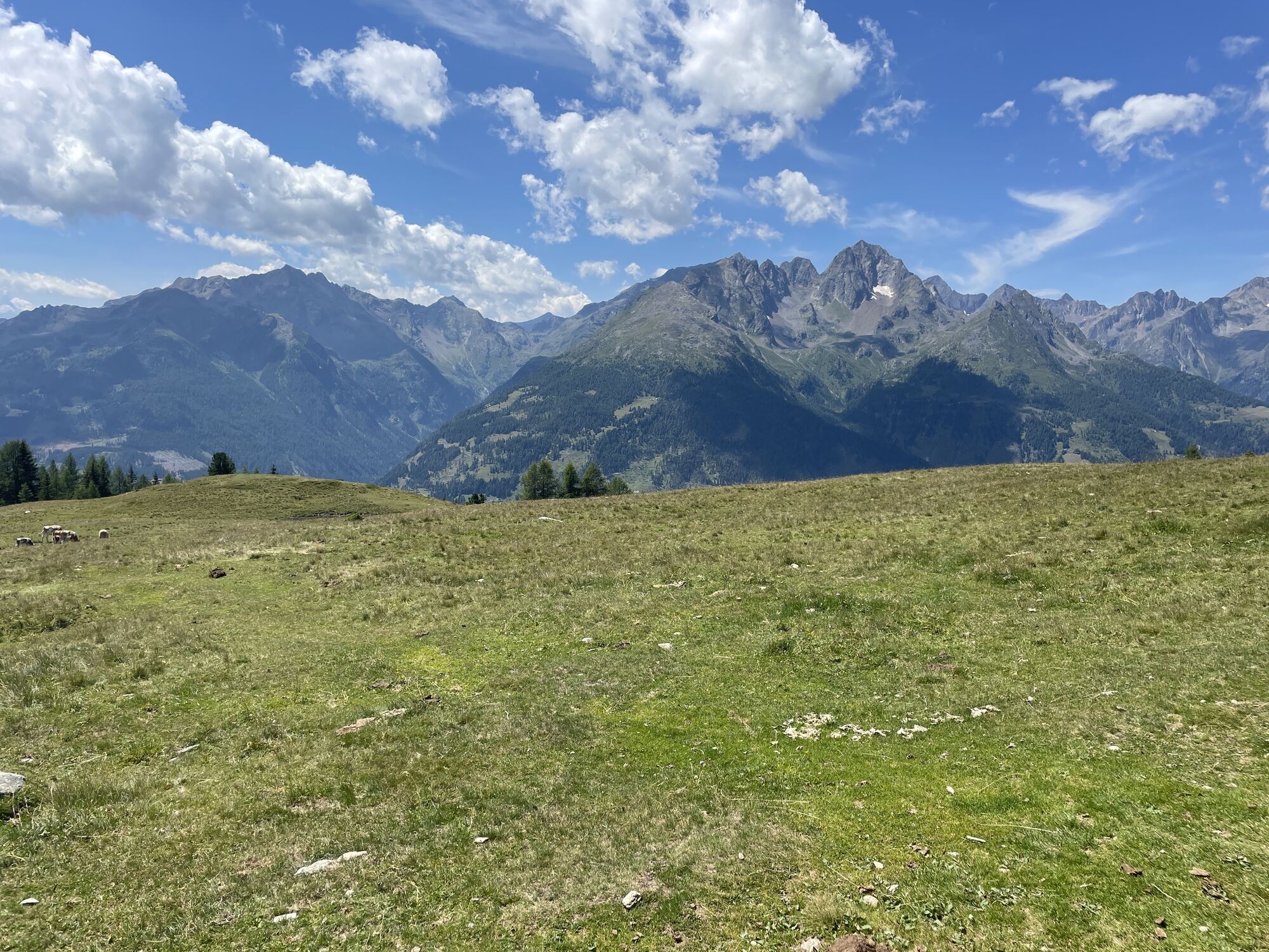
At the top awaits a spacious plateau where there is no danger of falling and where you can enjoy a magnificent 360° mountain panorama.
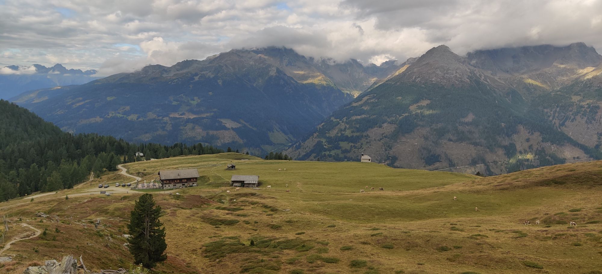
The path with somewhat slippery scree leads back to the Göritzertörl. Now we continue downhill on the other side over flower-covered alpine pastures and partly along the mountainside to the Glocknerblick guesthouse.
This part is easy to walk – even hikers who are not free from dizziness have no problems here. From the Glocknerblick parking lot (trail no. 152), first 50 meters on the footpath to the left. After a gate, we reach the forest road that leads back into the Astental. Following this, passing the Sagritzerwirt alpine pasture comfortably back to the Sadnighaus.
Pack sturdy footwear, hiking poles, something to drink, and a small snack in your backpack.
By car, follow the road into the Astental from Mörtschach.
Alternatively: Fleißner hiking taxi: +43 664 3836 311
Parking available at the Sadnighaus.
From the Göritzertörl you can also make a detour to the Waschgang, a relic from the time of gold mining.




Popularne wycieczki w okolicy
-
4,9
Wangennitzsee Hütte
średniWędrówka 3,80 km -
4,7
Geotrail Tauernfenster
światłoWędrówka 5,90 km -
4,9
Astental: Mohar, Moharkreuz
średniWędrówka 9 km -
4,8
Hohe Sonnblick Up
ciężkiWędrówka 9,14 km -
4,8
Rifflscharte - Kolmkarscharte - Bockhartscharte - Sportgastein
średniWędrówka 13,5 km -
4,9
Schareck über Ostgrat
ciężkiWycieczka wysokogórska 13,3 km -
4,8
Vorderer Geißelkopf
średniWycieczka wysokogórska 19,1 km -
4,5
Niedersachsenhaus
średniWędrówka 4,84 km -
4,8
Lienzer Hütte
światłoWędrówka 7,39 km -
4,9
Access to Hagener hut from Jamnigalm
średniWędrówka 11,4 km
Wędrówki i tropienie


Nie przegap ofert i inspiracji na następne wakacje
Twój adres e-mail została dodana do listy mailingowej.


