






Bergfriedhütte - Steinkopf
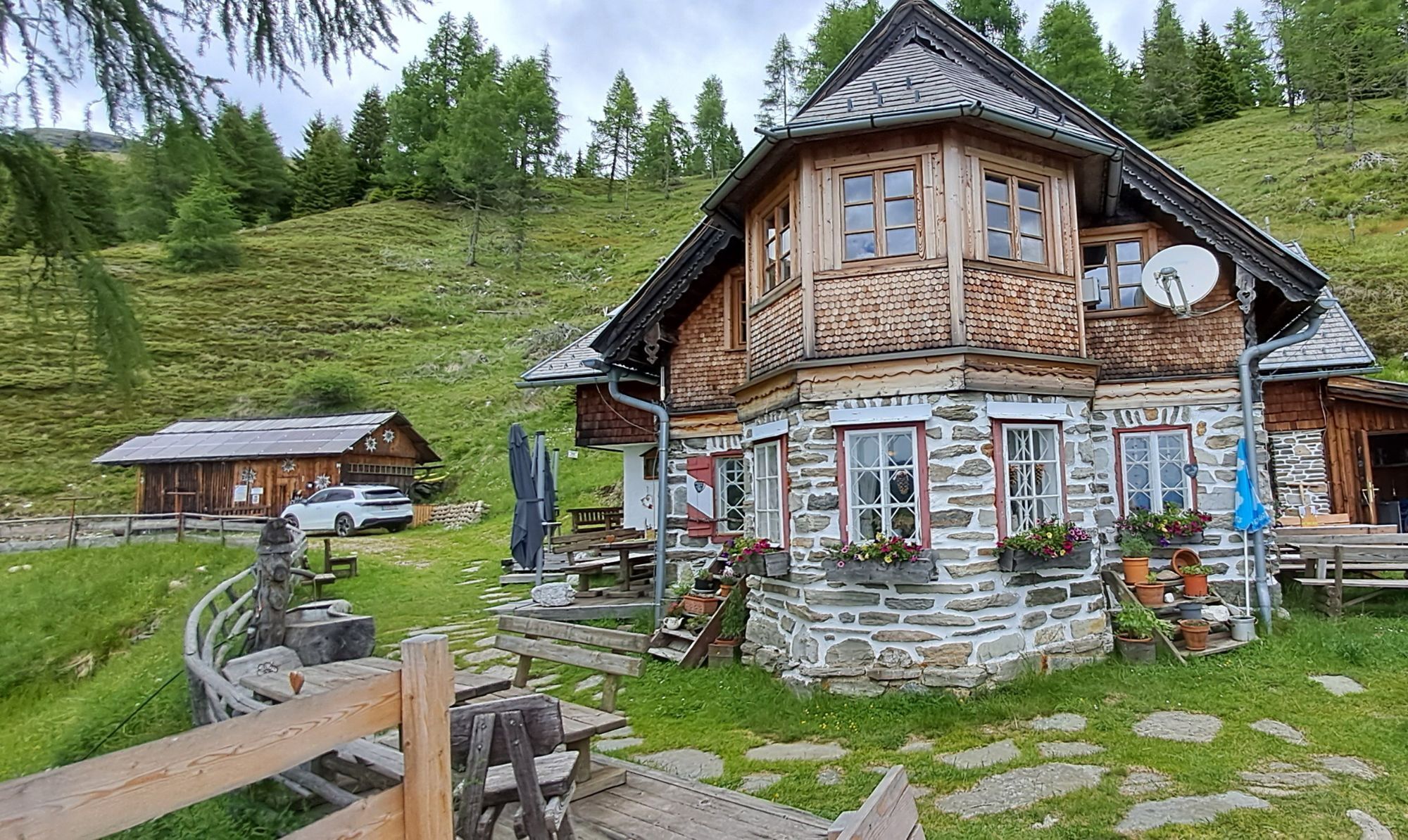
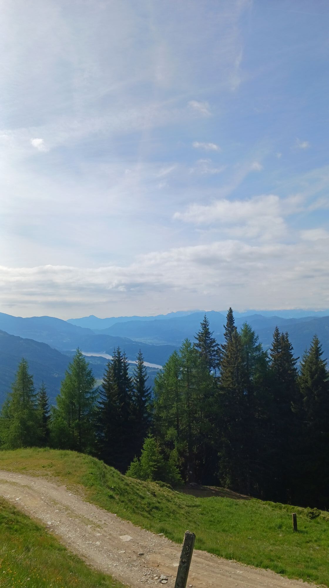
The Steinkopf, a picturesque lookout mountain including panoramic views of Carinthia's most water-rich lake. A short mountain route with a great opportunity to stop at the terrace of the Bergfriedhütte with lake view.
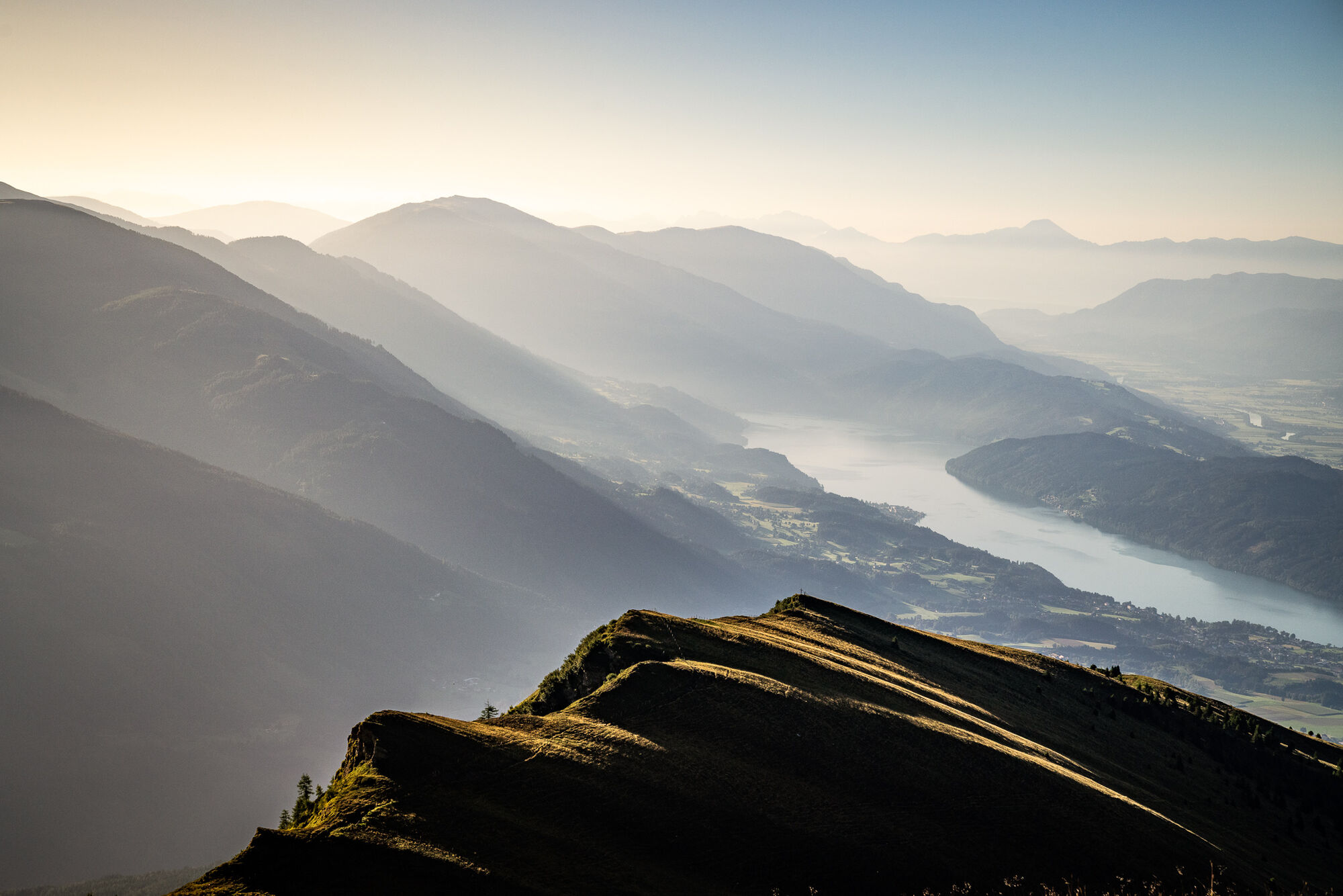
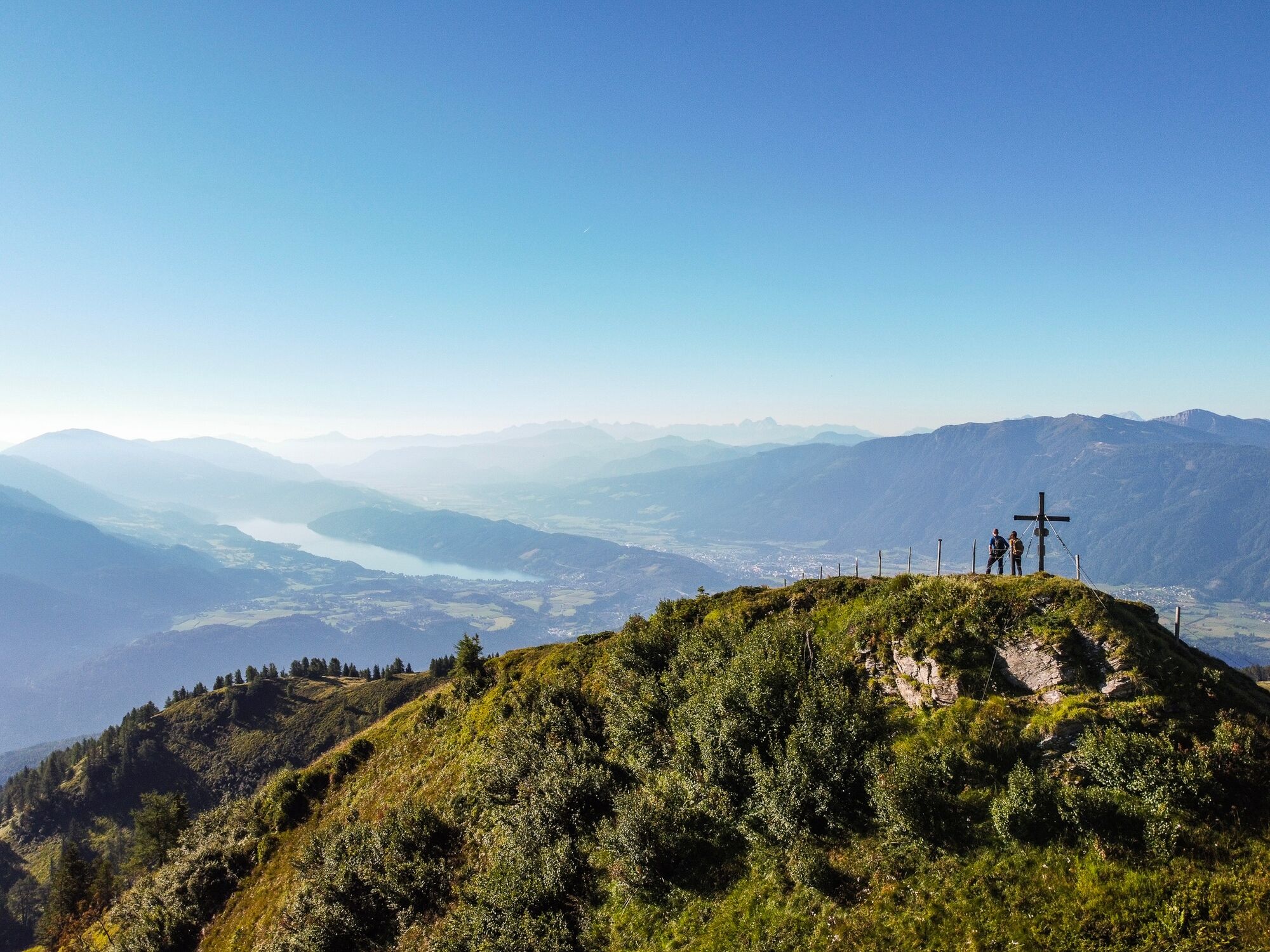
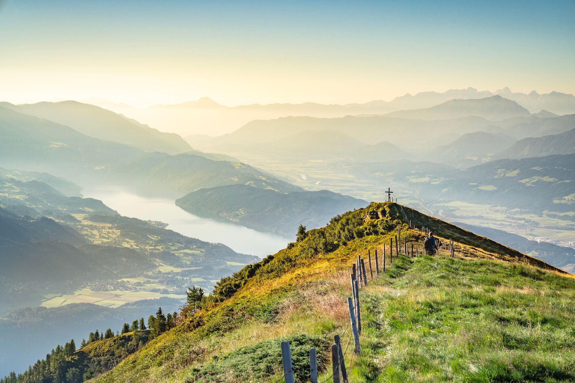
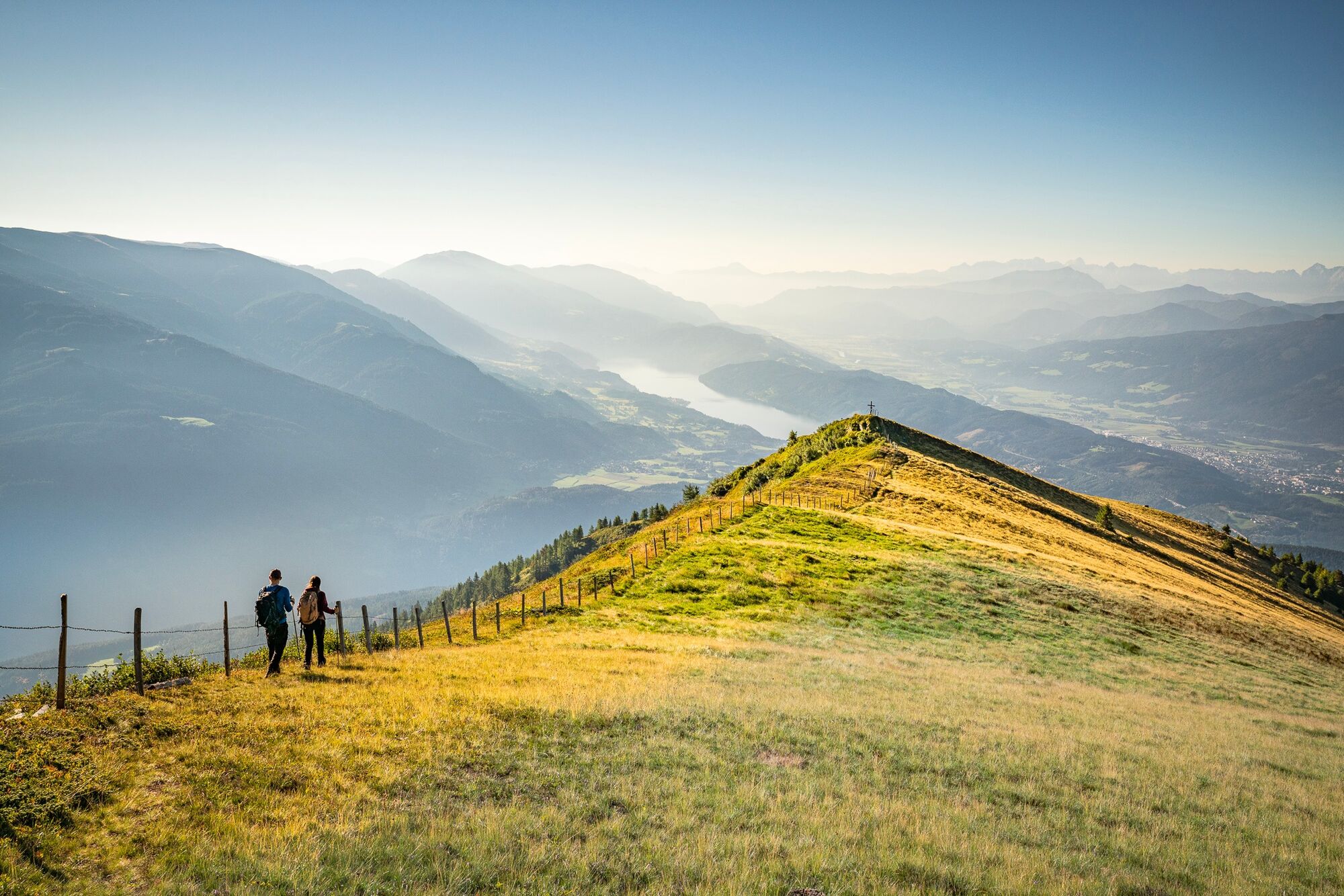
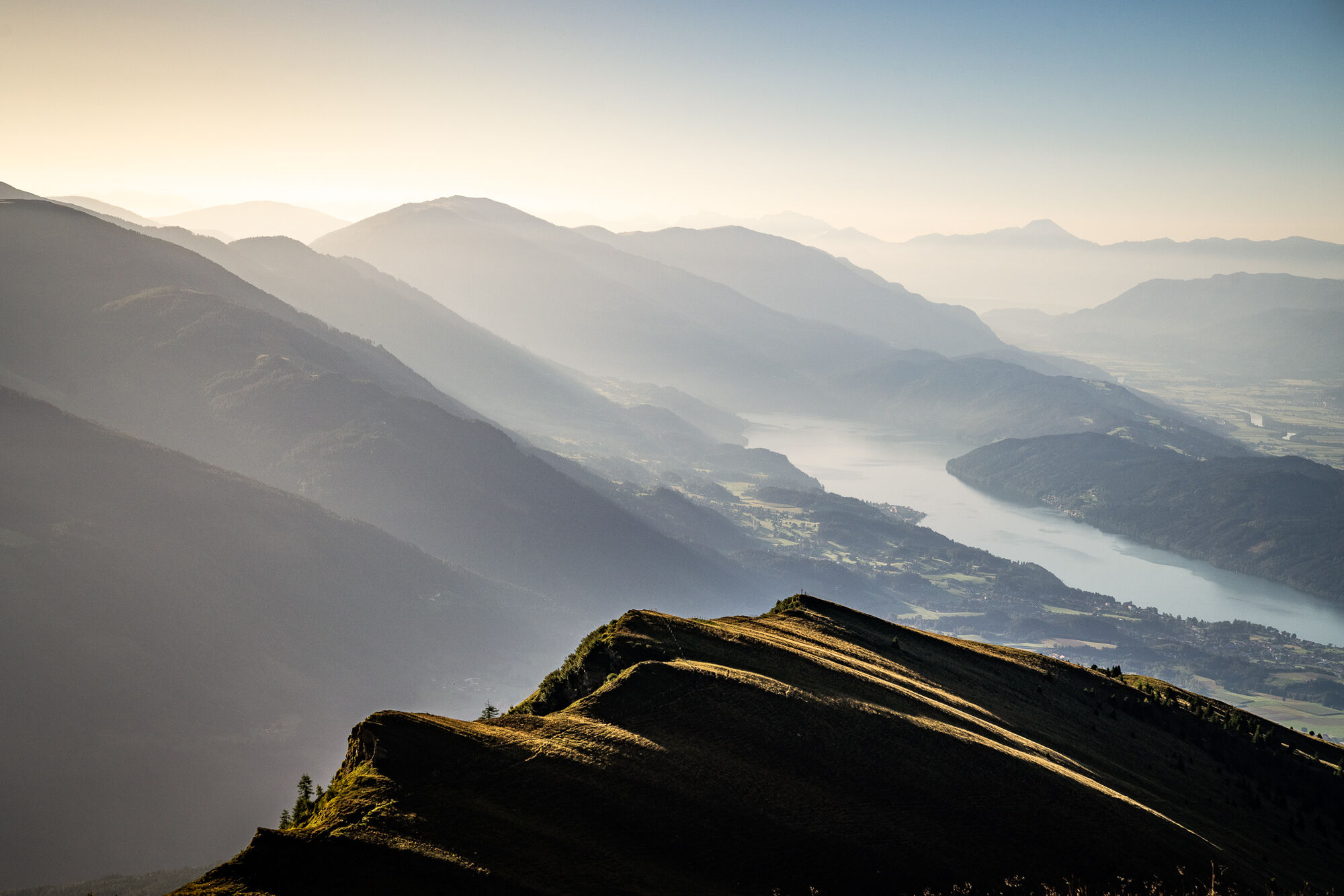

From the Bergfriedhütte, the path leads towards the Gmeineck to the Altersberger Halterhütte at the end of the alpine road. From there, keep left and follow the red markers to the summit cross of the Steinkopf. From the summit, Lake Millstatt lies at your feet.
Tak
Tak
Tak
Sturdy and well-broken-in footwear, functional clothing, sun and rain protection, and sufficient provisions.
The Bergfriedhütte is accessible by car from Trebesing via a toll alpine road. Here is the Google Maps route description.
Toll: Please have €6,- ready in coins (€2,- and €1,-). No change function available.
The Bergfriedhütte is not accessible by public transport.
Free parking spaces are available directly in front of the Bergfriedhütte.
More information about the Bergfriedhütte can be found here.
The Steinkopf can also be taken as a detour after a hike to the Gmeineck.
Popularne wycieczki w okolicy
-
5,0
Bella Vista auf Hohe Leier
średniVia ferrata 15,6 km -
4,8
Enzian-Granatsteig & Almbrunn Steig
światłoWędrówka 8 km -
4,8
Lammersdorfer Hütte, Granattor Runde
światłoWędrówka 9,85 km -
4,6
Millstätter See cycle track
średniJazda na rowerze 27,7 km -
4,7
H-2-O Höhenweg
światłoTrasa tematyczna 5,40 km -
4,8
Nockhöhensteig
średniWędrówka 7,67 km -
4,0
Barbarossa Gorge near Mühldorf/Mölltal
światłoWędrówka 2,74 km -
4,3
Wycieczka nad jezioro karłowate Millstatt
światłoWędrówka 4,01 km -
5,0
Bergfried Hütte, Stoder 2433, Gmeineck 2592
ciężkiWędrówka 8,23 km -
4,4
Tschiernock, Hochpalfennock, Tschierwegernock, nock nock nock ... ;)
światłoWędrówka 10,4 km
Wędrówki i tropienie


Nie przegap ofert i inspiracji na następne wakacje
Twój adres e-mail została dodana do listy mailingowej.





