







Tscheltschnigkogel Challenge - Running and Trail Running Arena Warmbad-Villach
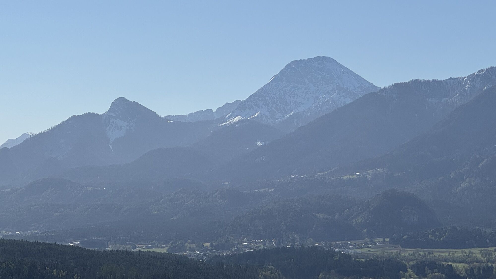
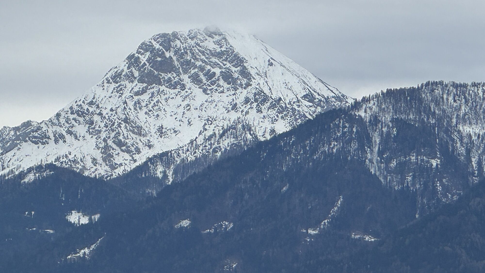
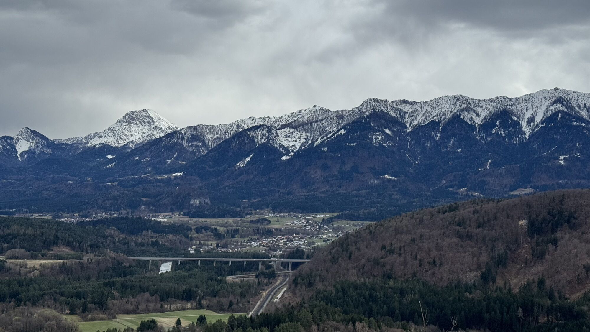
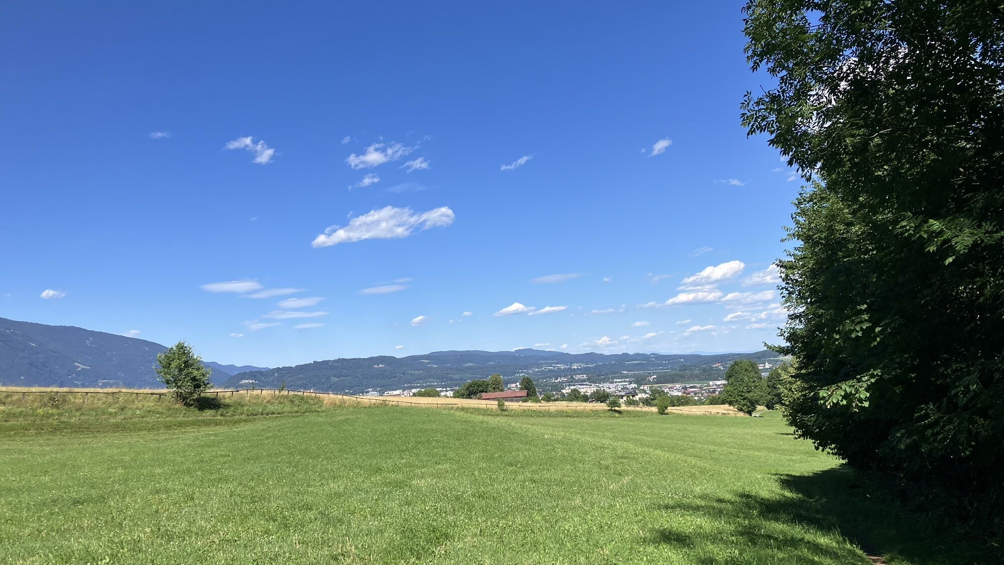
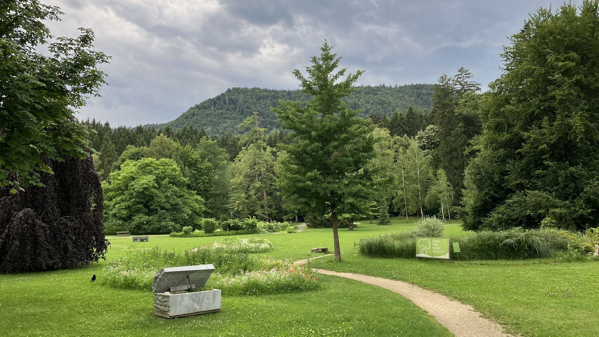
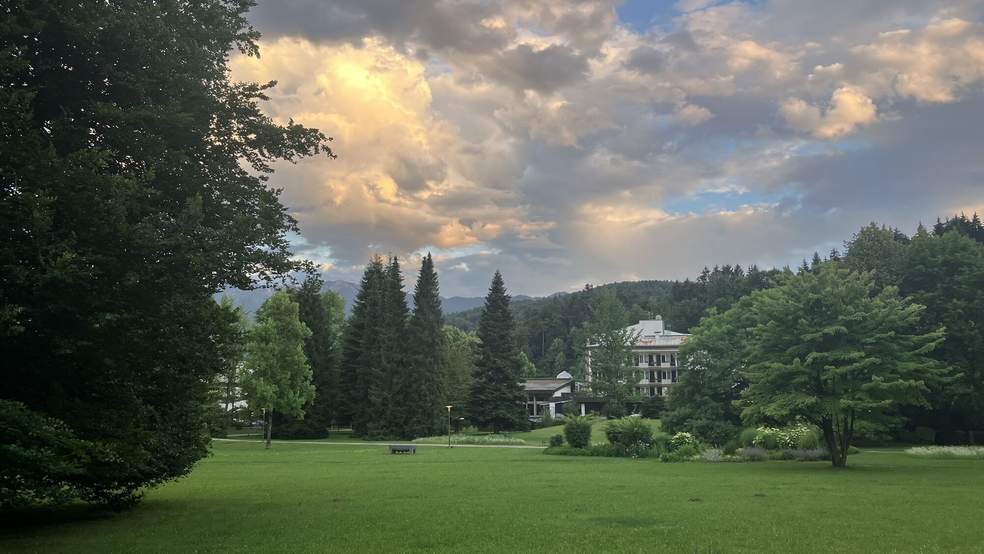
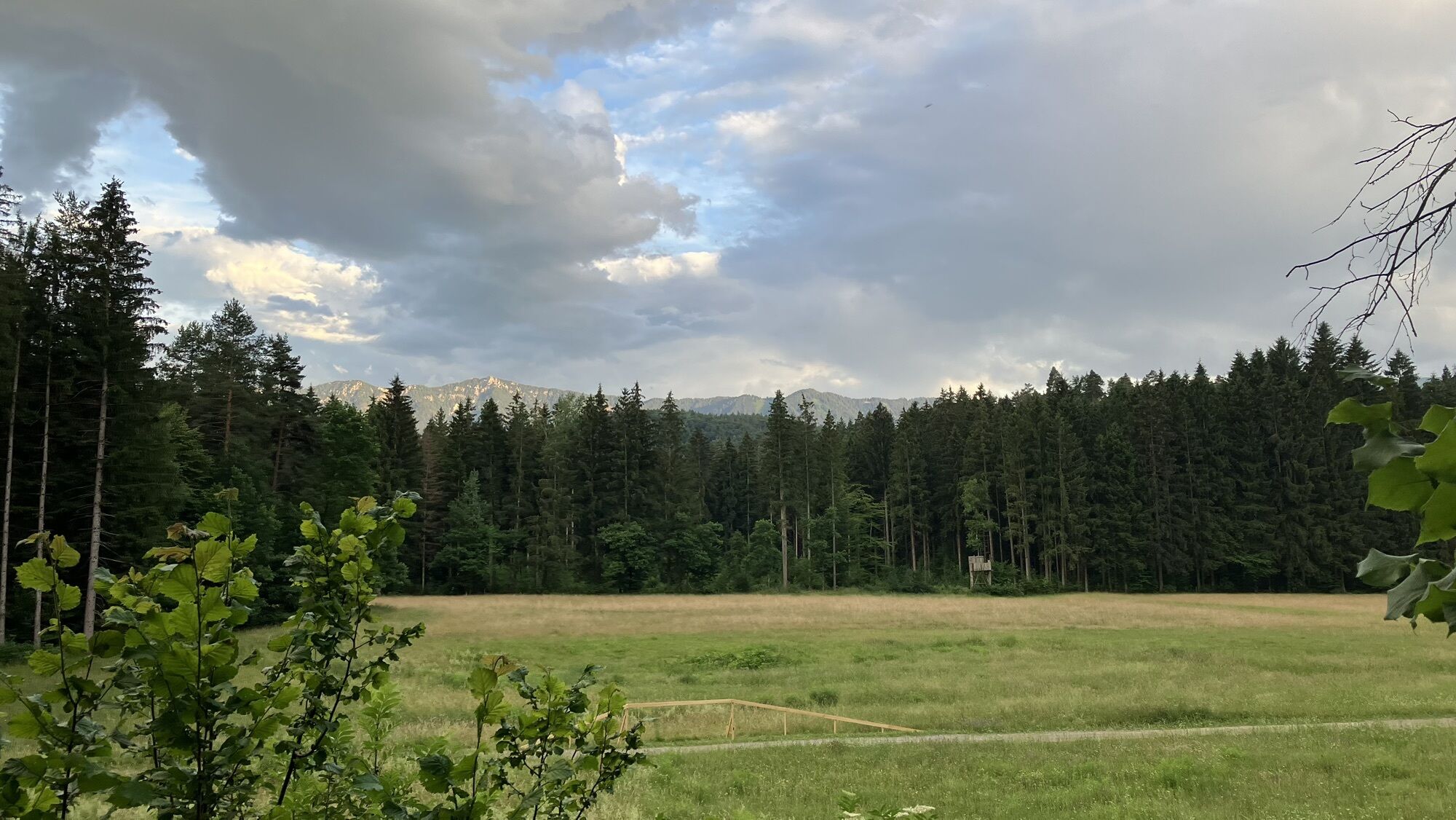
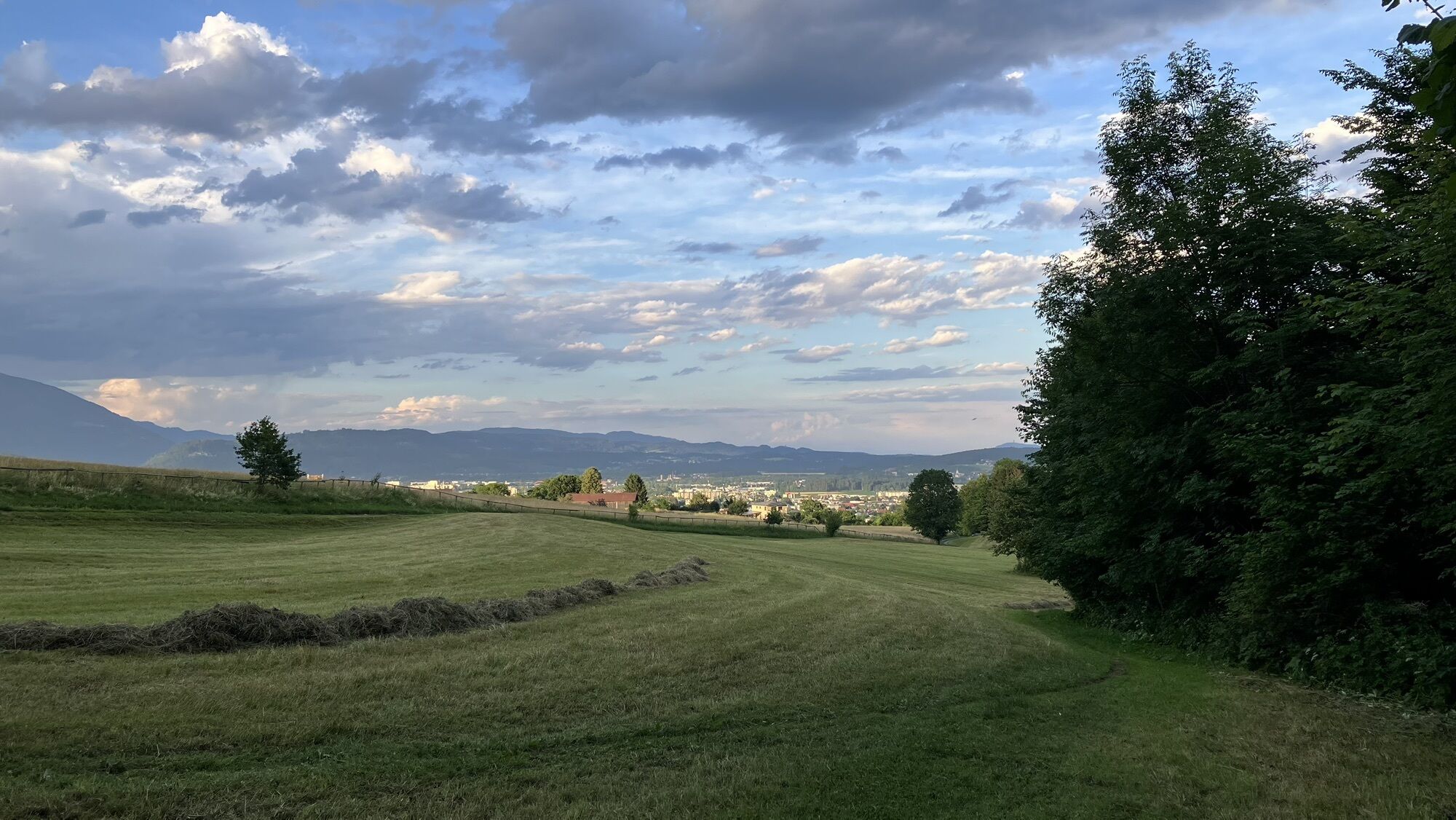
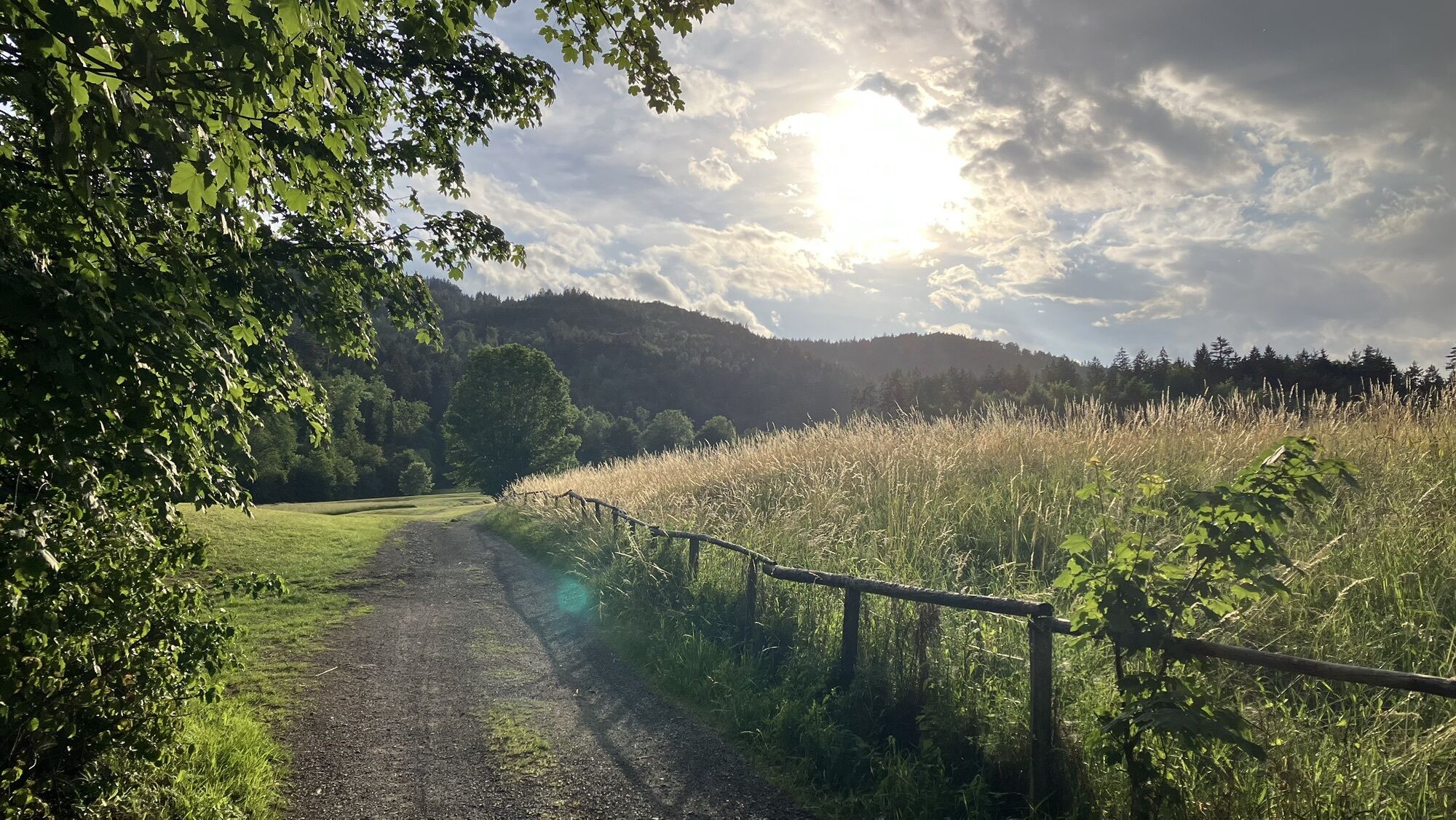
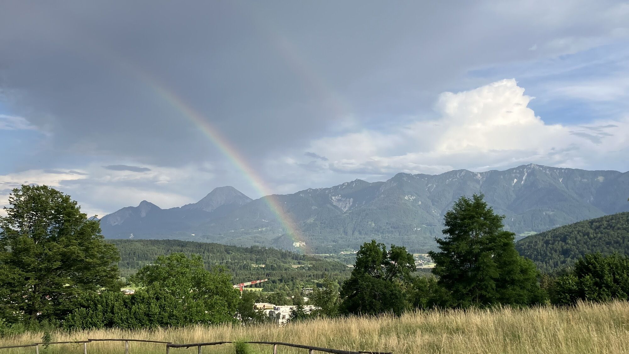
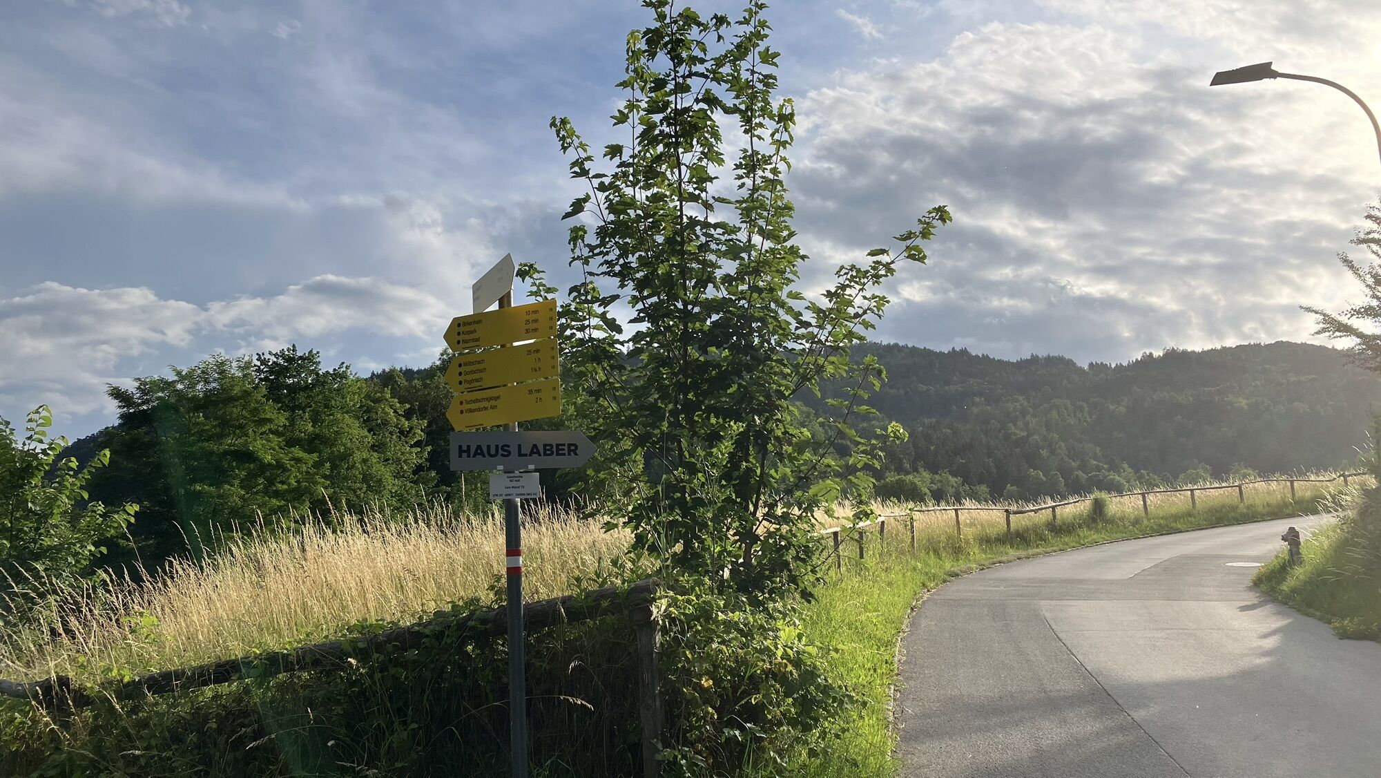

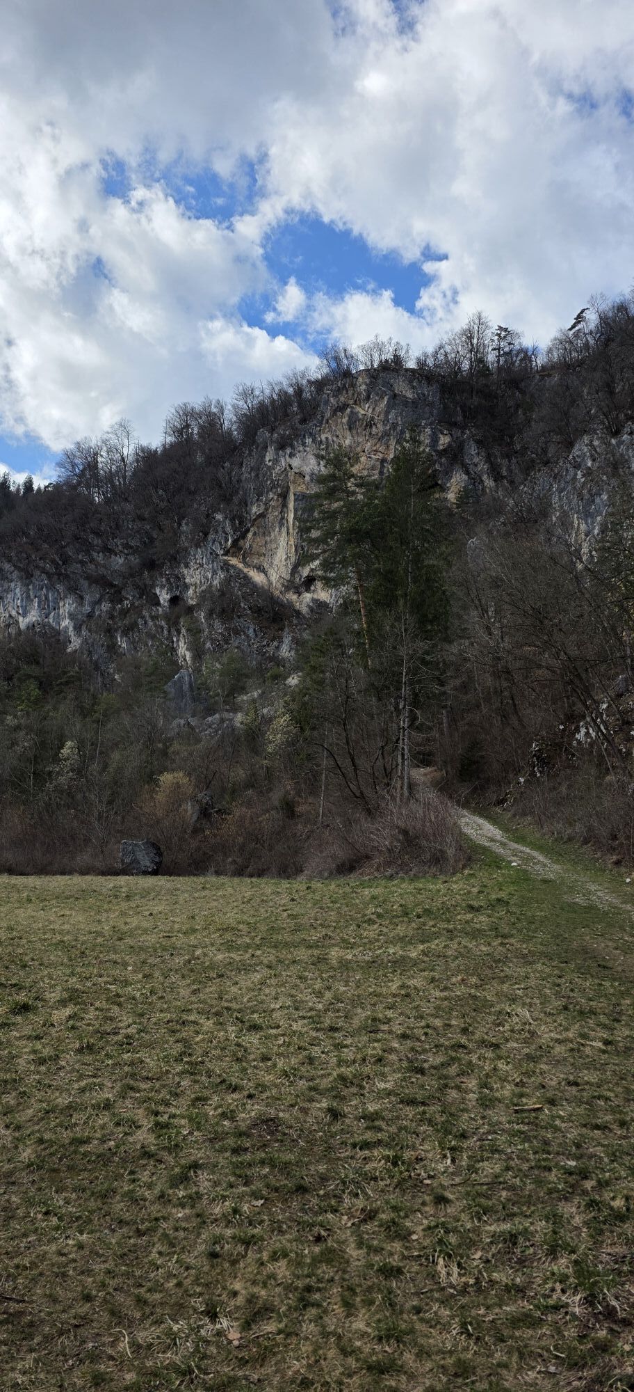
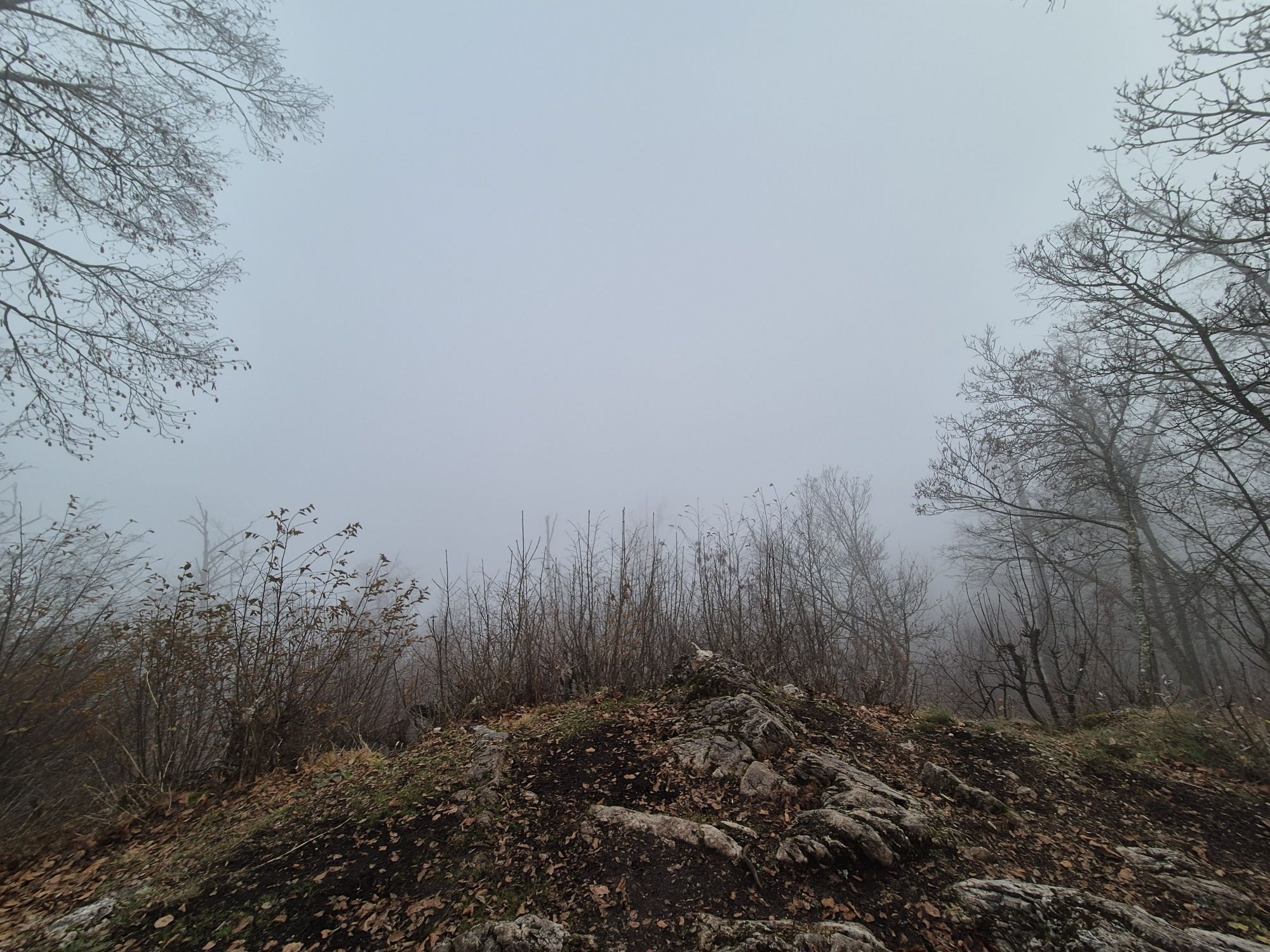
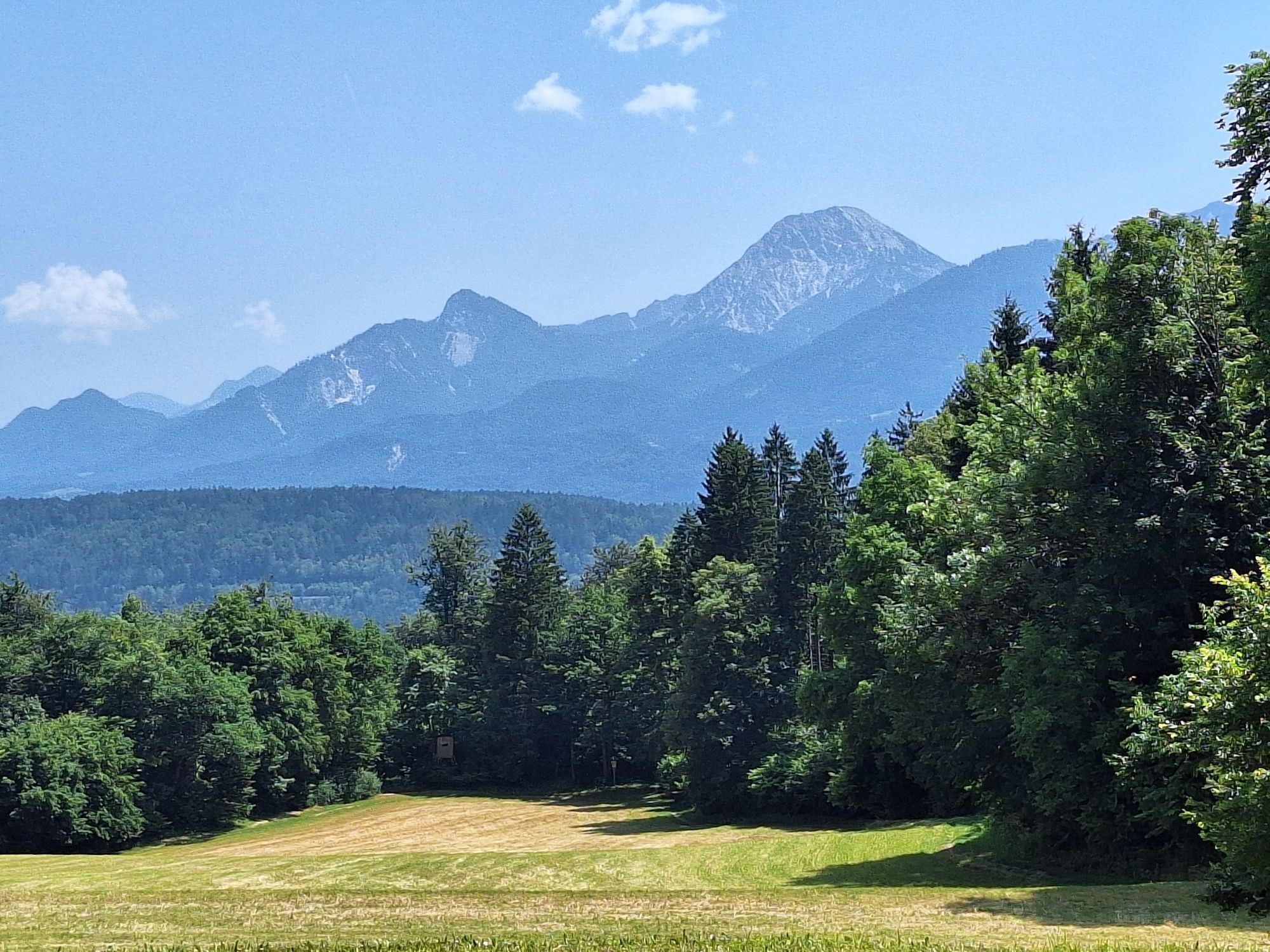
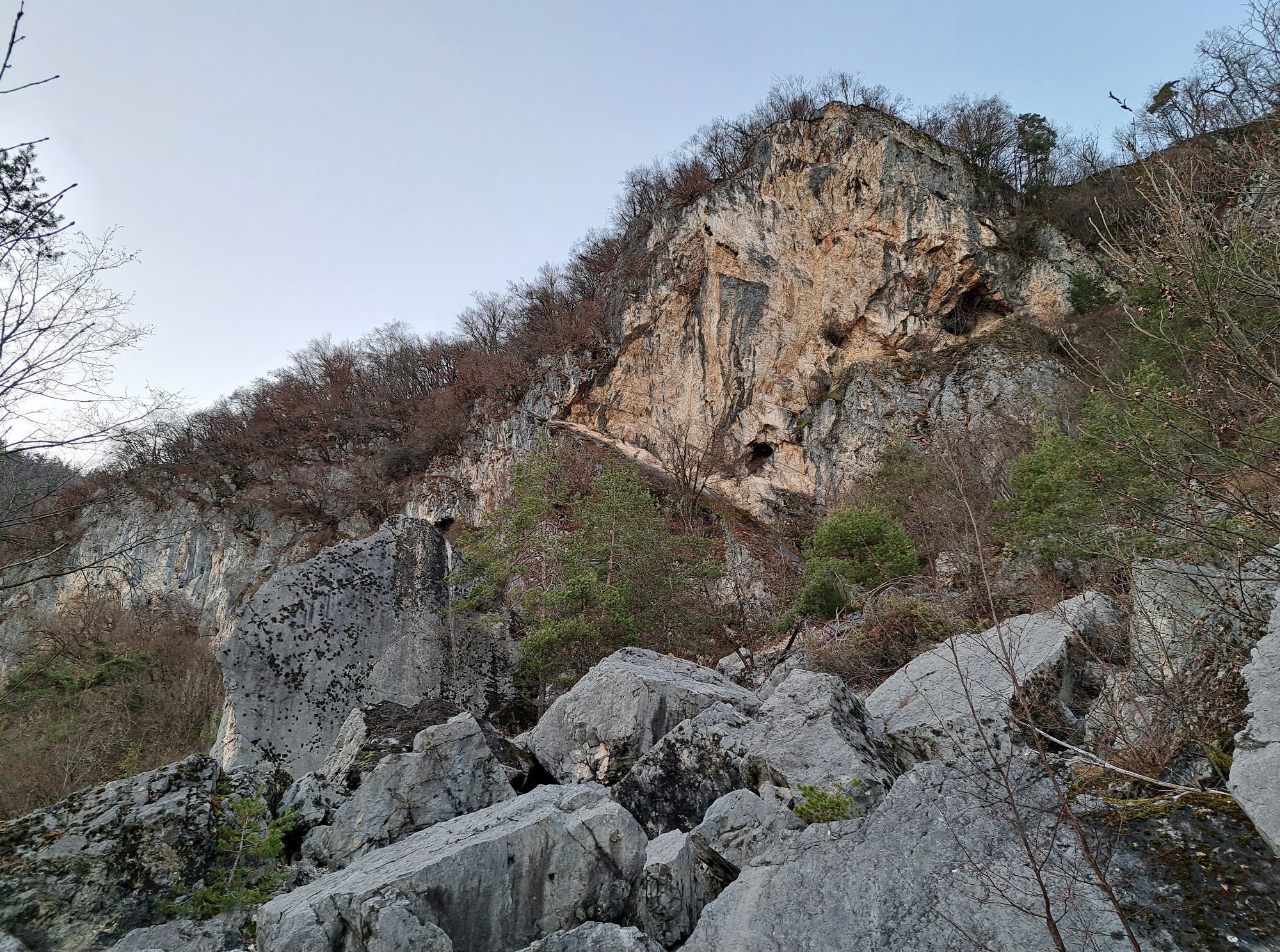
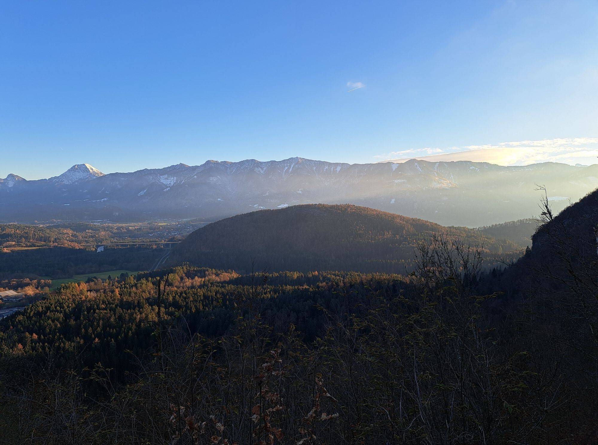
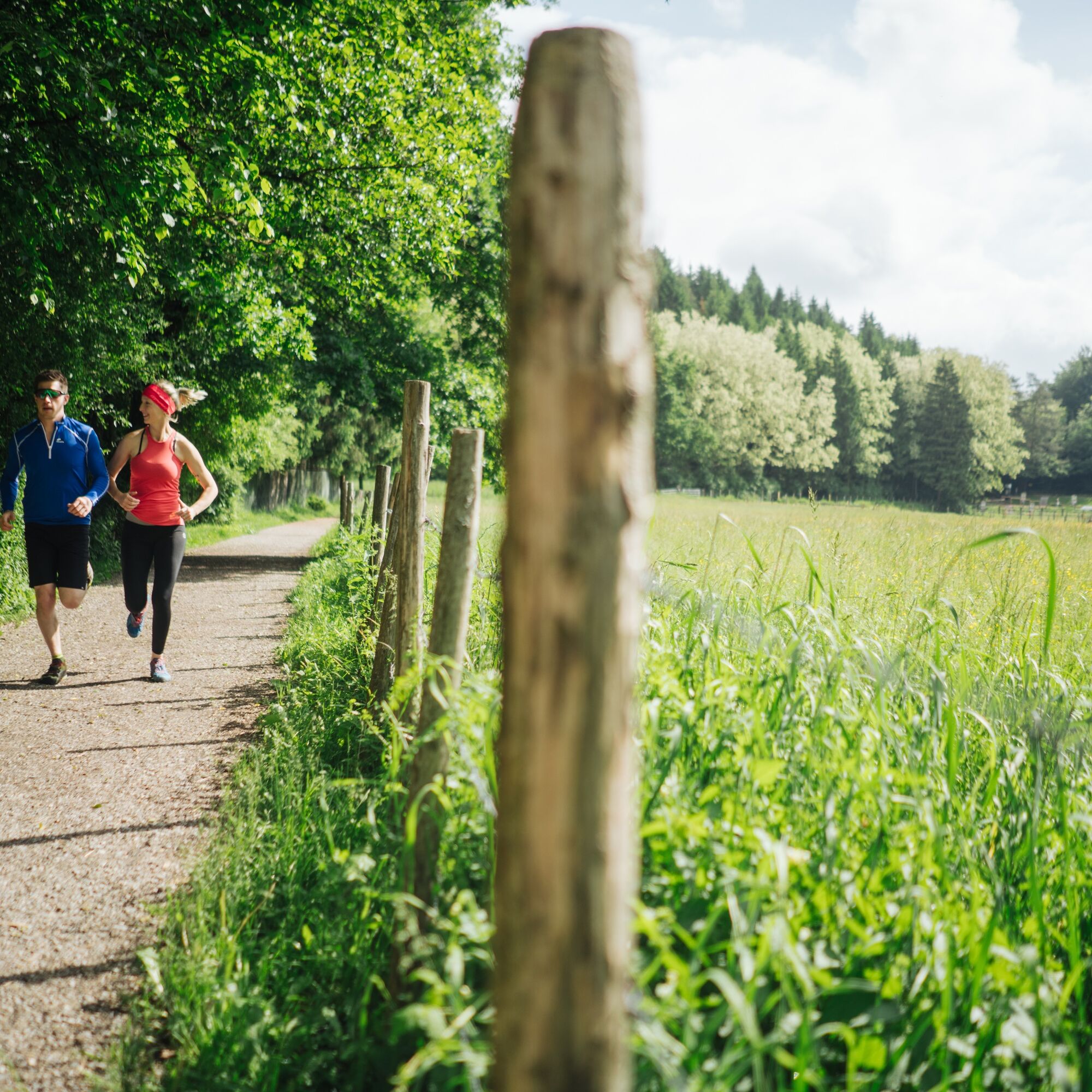
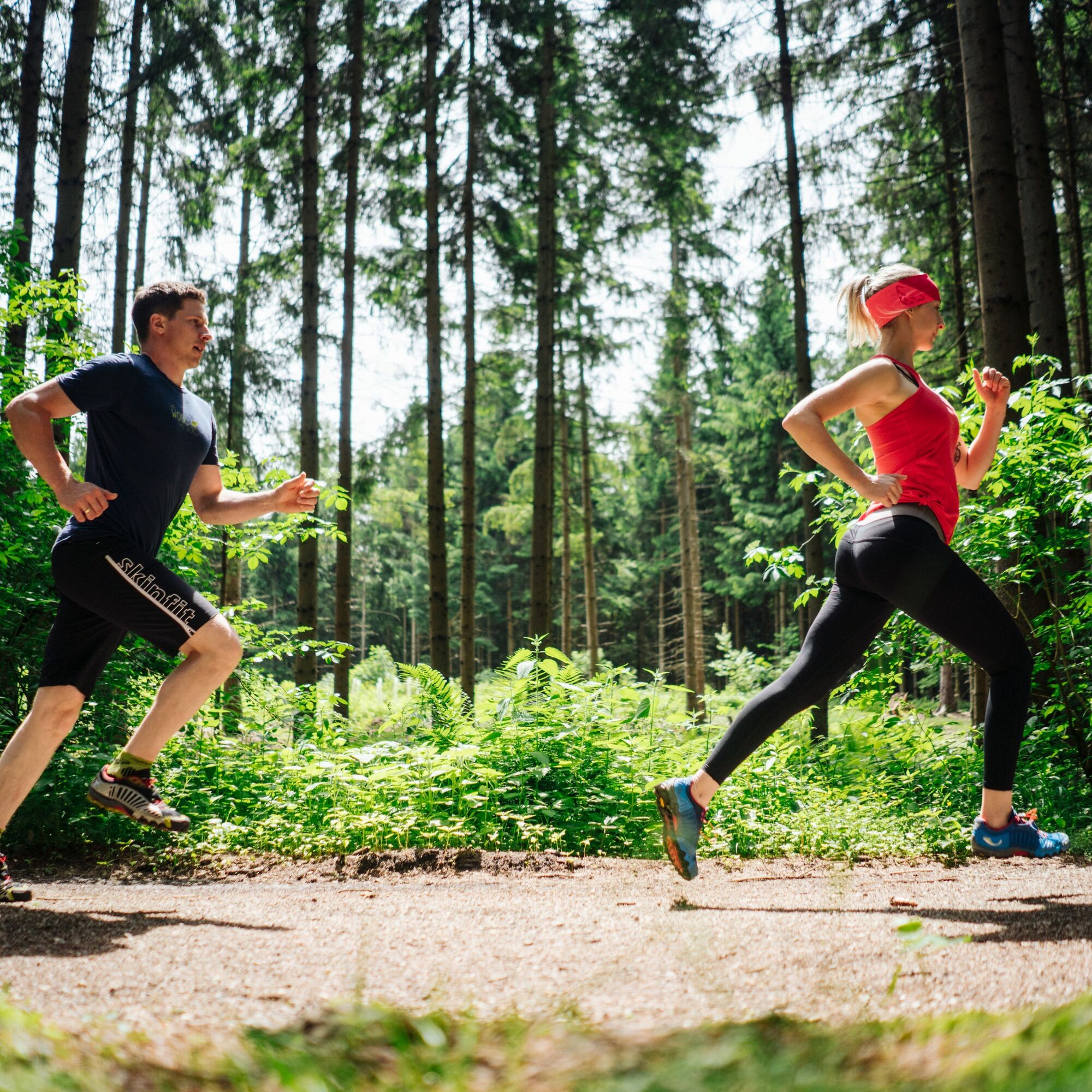
Running and nature experience – two basic needs that come together in the new Running and Trail Running Arena Villach Warmbad. The route network of the newly developed Running and Trail Running Arena offers...
Running and nature experience – two basic needs that come together in the new Running and Trail Running Arena Villach Warmbad. The route network of the newly developed Running and Trail Running Arena offers seven selected running and trail running routes with a total length of over 50 km. Varied natural spectacle meets a diverse running experience!

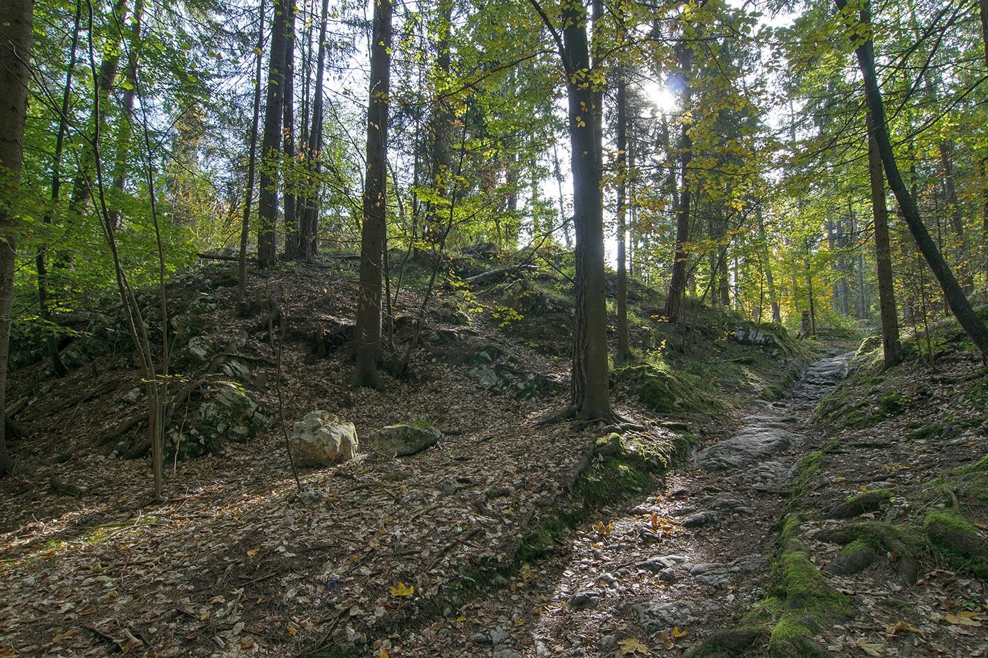

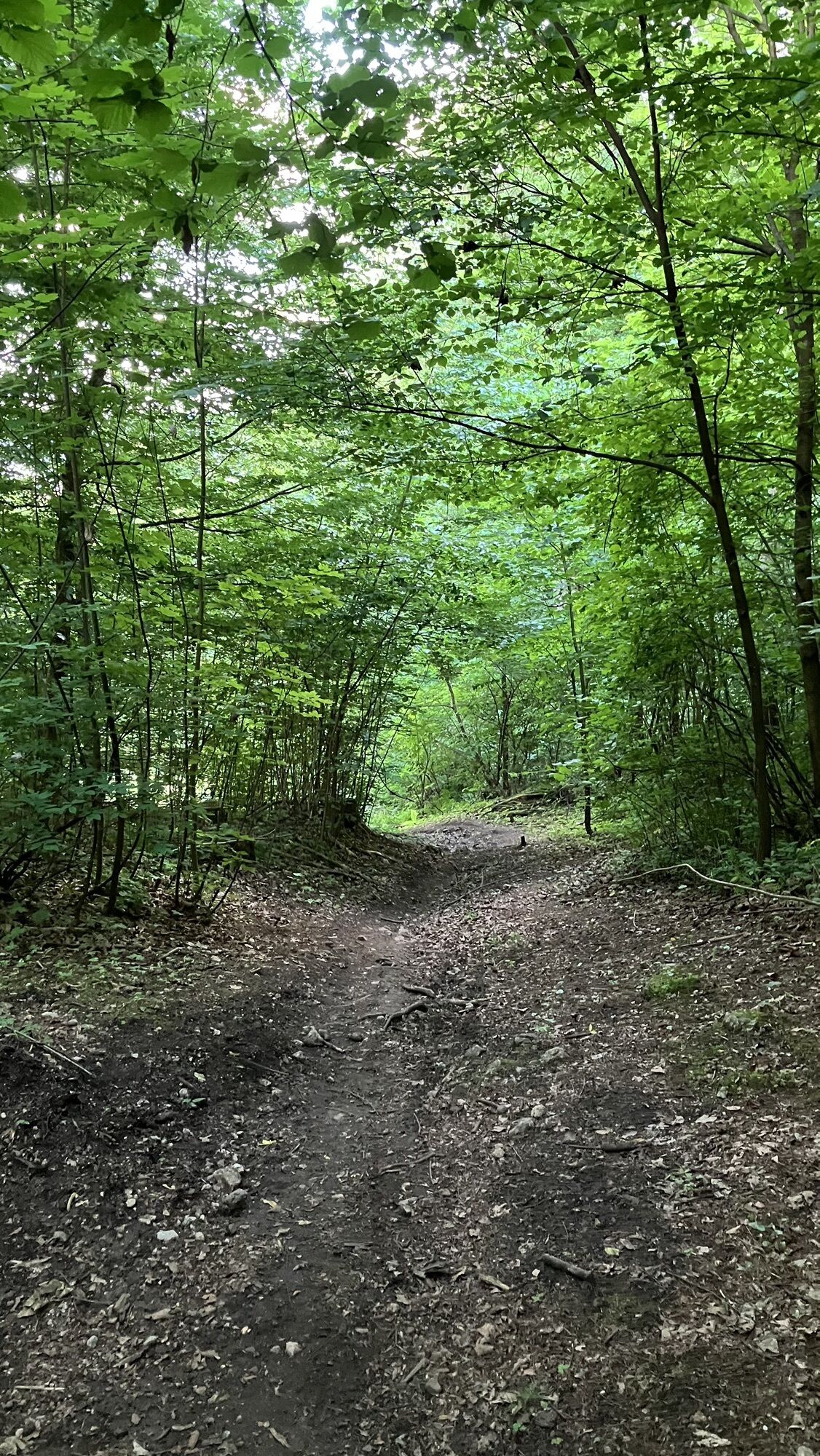
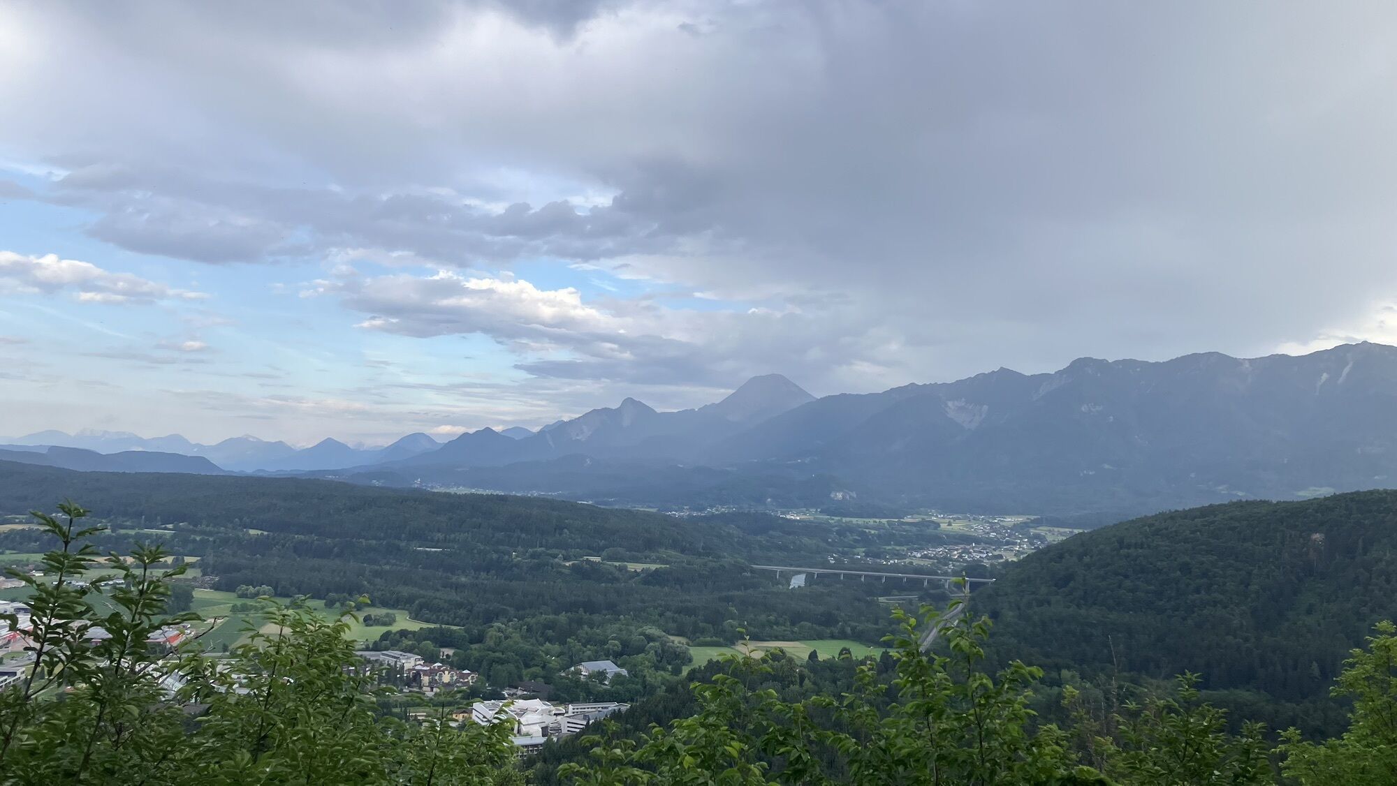
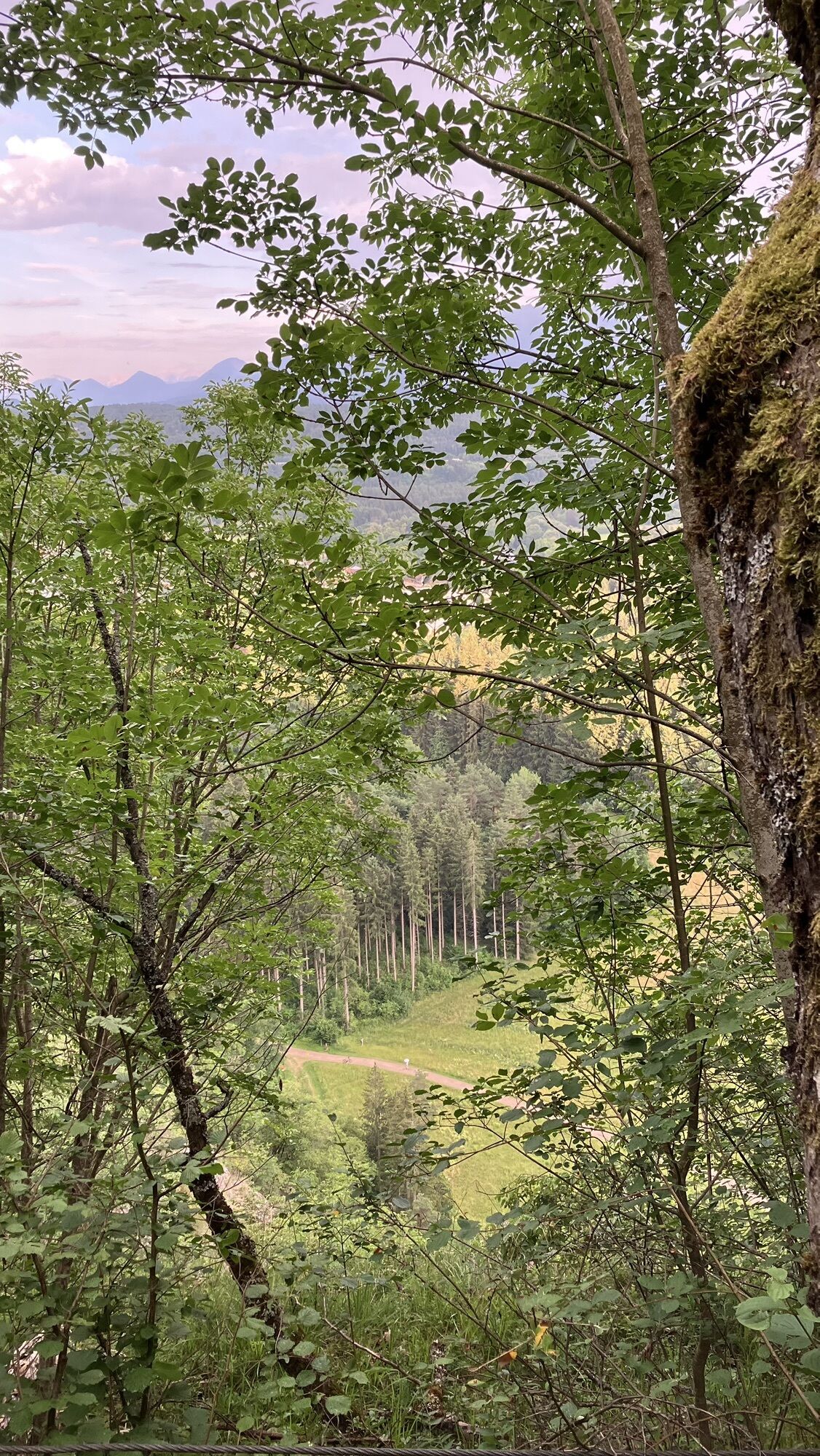
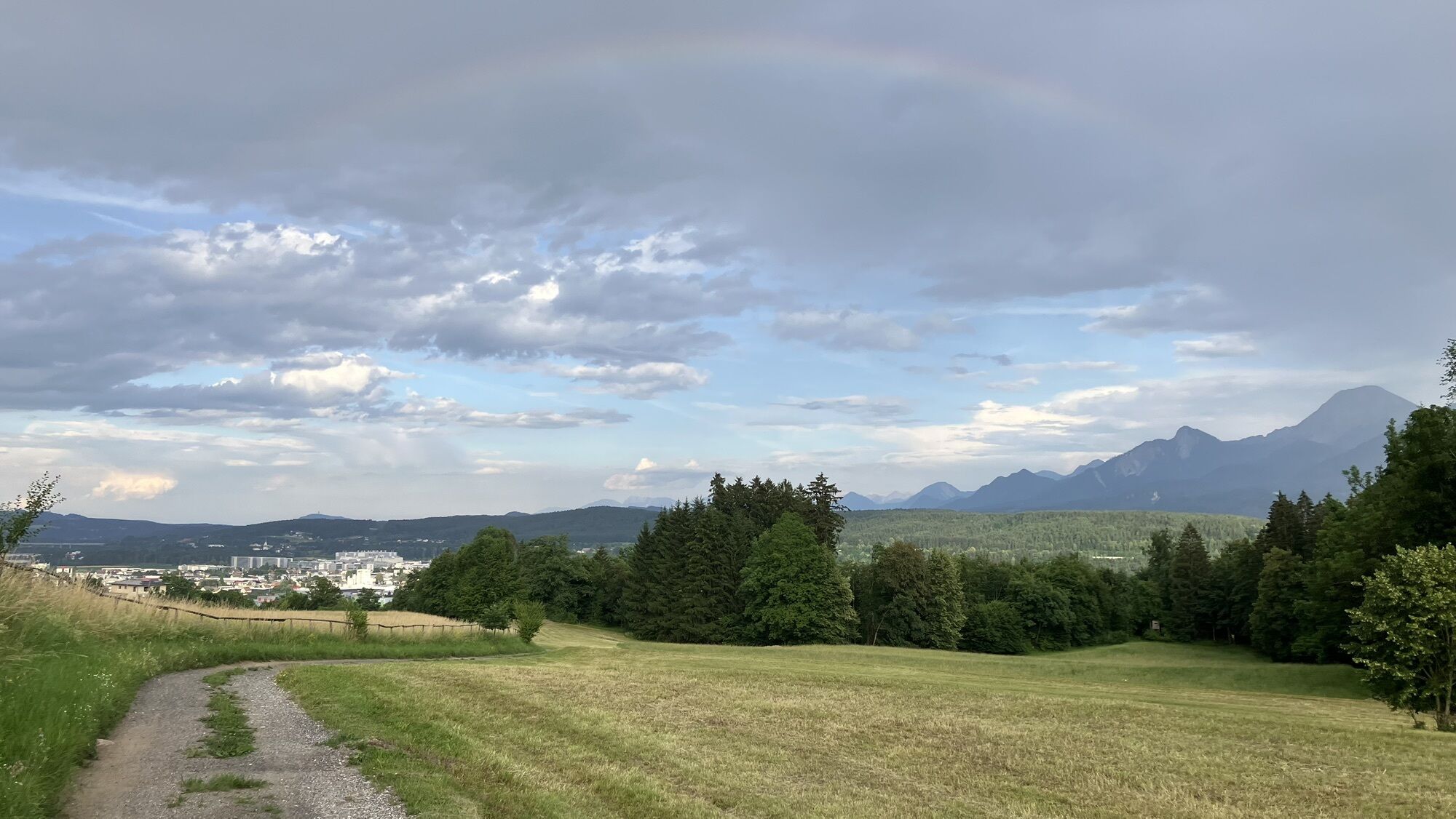
From the starting point Kurpark, follow the running signs through the Kurpark towards Maibachel. A few minutes after Maibachel, turn off at the height of the Birkenhain towards Tscheltschnigkogel. From here, it goes constantly uphill over rocky and rooty forest paths to the highest point of the Tscheltschnigkogel with a beautiful view of Villach. Via the northwest side, it goes over a steep forest road to Genottenhöhe with a recommended place to stop. From Genottenhöhe, follow the running signs downhill back to the starting point.
Running shoes with very good tread sole, running and change of clothes, rain protection, route map
CLOSED DUE TO WIND DAMAGE
The route runs mostly over steep forest and woodland paths that require a safe, coordinated, and controlled running technique. Two different runner icons have been developed to distinguish the trail running routes from the normal running routes and are visible on every additional sign.
The Warmbad Thermal Resort is reachable via the Tauern motorway (A10), the South motorway (A2) towards Italy (exit Warmbad-Villach), and the Warmbader Allee.
Warmbad-Villach is accessible at regular intervals by public transport.
Here you can find the timetable information.
Here you can find the Carinthia train station shuttle service.
There are sufficient paid parking spaces at the Carinthia Thermal Spa. In the vicinity, there are also free parking spaces.
 Uzyskaj wgląd
Zawsze na żywo z ponad 9 500 kamer internetowych. bergfex Jako użytkownik Pro, możesz teraz zobaczyć odpowiednie kamery internetowe dla wielu wycieczek w aplikacji wycieczki od. Pozwala to na bezpośredni podgląd aktualnych warunków.
Uzyskaj wgląd
Zawsze na żywo z ponad 9 500 kamer internetowych. bergfex Jako użytkownik Pro, możesz teraz zobaczyć odpowiednie kamery internetowe dla wielu wycieczek w aplikacji wycieczki od. Pozwala to na bezpośredni podgląd aktualnych warunków.

Popularne wycieczki w okolicy
-
4,5
Auf den Dobratsch mit der ganzen Familie
Wędrówka 8,40 km -
4,4
Mittagskogel - Rundwanderung
ciężkiWędrówka 14,5 km -
4,7
4 Huts route
średniWędrówka 8,96 km -
5,0
Amberg: Palnock 1901m, Schwarzsee, Rundstrecke
średniWędrówka 7,94 km -
4,5
Lake circular trail
światłoNordic Walking 9,85 km -
4,4
Finsterbach Waterfalls - Circular route
średniWędrówka 3,87 km -
4,8
Schwarzkogel-Runde über Jepzasattel Schwarzkogel, Mallestiger Mittagskogel
średniWędrówka 13,4 km -
4,5
Mallestiger Mittagskogel
średniWędrówka 8,17 km -
4,7
Rotschitza Klamm Klettersteig B/C
średniVia ferrata 3,73 km -
4,2
Schwarzsee circular hiking trail
średniWędrówka 7,79 km
Wędrówki i tropienie


Nie przegap ofert i inspiracji na następne wakacje
Twój adres e-mail została dodana do listy mailingowej.





