







Hiking in Seeboden - "Halfway Up"
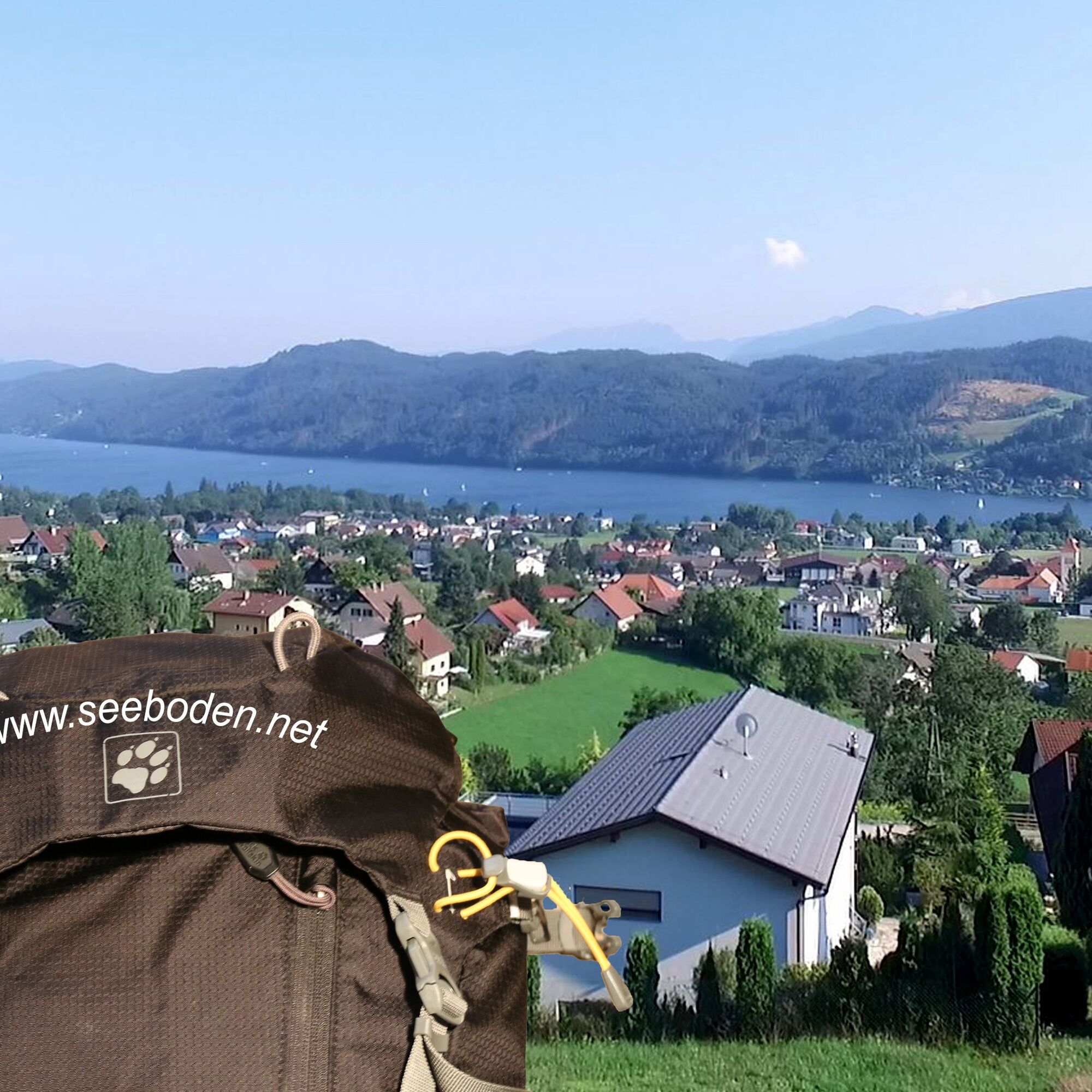
"Halfway Up" leads through the district Kraut up to the Dobra, to the Wirlsdorfer Bach, to the Ertlhöhe and then through shady forest to the Oberbach, a wonderful landscape just a few minutes from the center of Seeboden.


Hiking start point Main Square - Upper Dobra - To the Raun - Wirlsdorfer Bach - Unterhauser Way - Ertlhöhe - "Old Fish Farm" - Hiking trail 14 - "Oberbach" = Trefflinger Gießbach - Gritschacher Marien Chapel - Main Street - Church of St. Jakobus - Hiking start point Main Square
Tak
GOOD TIPS FOR HIKING
EQUIPMENT
waterproof backpack with two shoulder straps and waist belt small first aid kit with an emergency blanket (silver-gold foil) spare clothes (shirt, t-shirt) snack box with carbohydrate-rich food (whole grain bread, cheese, sausage, fruit, muesli bars) water bottle (at least 1 liter capacity; cold tea or fruit juices; no carbonated drinks) warm outerwear (anorak or sweater and windbreaker, cap, gloves) photo equipment, small binoculars
CLOTHING
SHOES
Tips from Ino Bodner, mountain hiking guide
Prepare thoroughly for a hike.
Consume nutritious and easily digestible food. Even more important is drinking plenty of fluids.
Use up-to-date maps and never rely solely on digital aids like mobile phones.
Pay attention to markings and signposts.
Stay on the paths.
Protect plants and animals.
Avoid litter.
from the east: Southern motorway (A2) Vienna - Graz - Klagenfurt - Villach - Spittal/Drau - Seeboden am Millstätter See
from the south: Autostrada Udine - Tarvisio - Villach - Spittal/Drau - Seeboden am Millstätter See
from the west: Innsbruck - Felbertauernstraße or Brenner motorway/Pustertal to Lienz - Oberdrauburg - Möllbrücke - Lendorf - motorway to Seeboden am Millstätter See
from the north: Munich - Salzburg - Tauern motorway (A10) towards Spittal/Drau to exit Millstätter See (left turn) to Seeboden am Millstätter See
Arrival by train to Spittal/Millstättersee station and by bus to Seeboden am M. S.
Be sure to take a break at the "Favorite Spot" by the Wirlsdorfer Bach.
 Uzyskaj wgląd
Zawsze na żywo z ponad 9 500 kamer internetowych. bergfex Jako użytkownik Pro, możesz teraz zobaczyć odpowiednie kamery internetowe dla wielu wycieczek w aplikacji wycieczki od. Pozwala to na bezpośredni podgląd aktualnych warunków.
Uzyskaj wgląd
Zawsze na żywo z ponad 9 500 kamer internetowych. bergfex Jako użytkownik Pro, możesz teraz zobaczyć odpowiednie kamery internetowe dla wielu wycieczek w aplikacji wycieczki od. Pozwala to na bezpośredni podgląd aktualnych warunków.
Popularne wycieczki w okolicy
-
5,0
Bella Vista auf Hohe Leier
średniVia ferrata 15,6 km -
4,8
Enzian-Granatsteig & Almbrunn Steig
światłoWędrówka 8 km -
4,8
Parkplatz Seetal - STAFF und retour
średniWędrówka 13,2 km -
4,8
Lammersdorfer Hütte, Granattor Runde
światłoWędrówka 9,85 km -
5,0
Bergfried Hütte, Stoder 2433, Gmeineck 2592
ciężkiWędrówka 8,23 km -
4,7
H-2-O Höhenweg
światłoTrasa tematyczna 5,40 km -
4,6
Millstätter See cycle track
średniJazda na rowerze 27,7 km -
4,8
Nockhöhensteig
średniWędrówka 7,67 km -
4,0
Barbarossa Gorge near Mühldorf/Mölltal
światłoWędrówka 2,74 km -
4,3
Wycieczka nad jezioro karłowate Millstatt
światłoWędrówka 4,01 km
Wędrówki i tropienie


Nie przegap ofert i inspiracji na następne wakacje
Twój adres e-mail została dodana do listy mailingowej.





