







Gerlitzen - slope route Klösterle
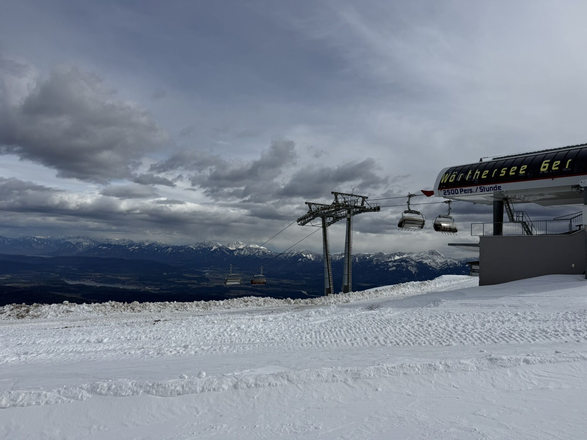
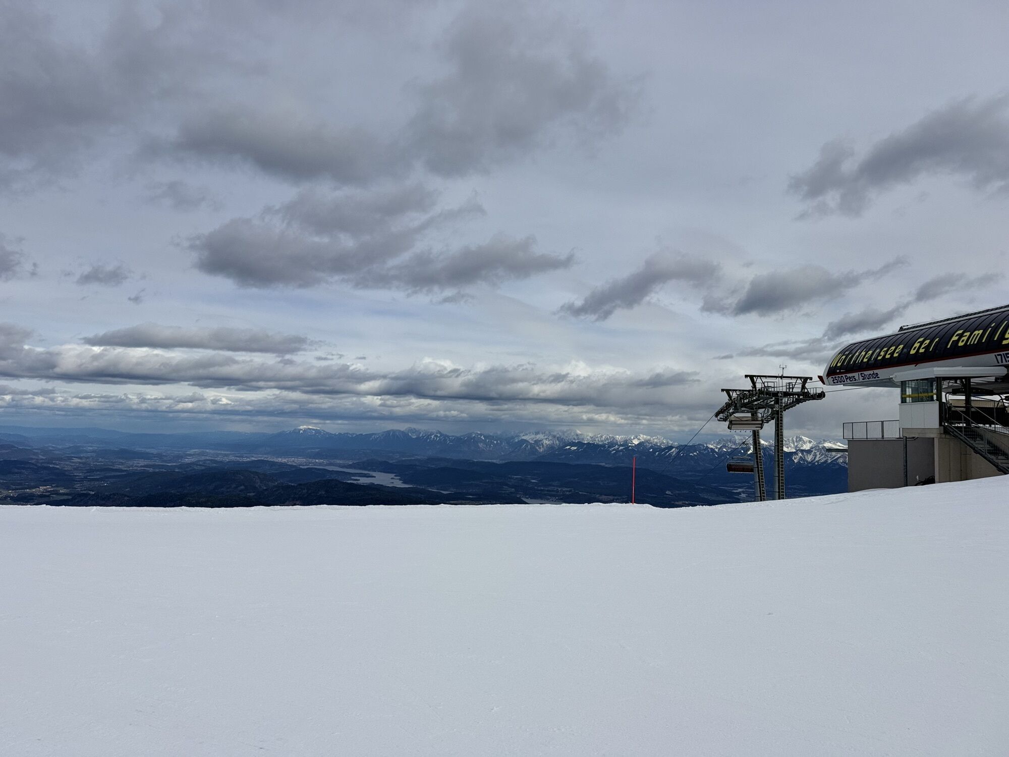
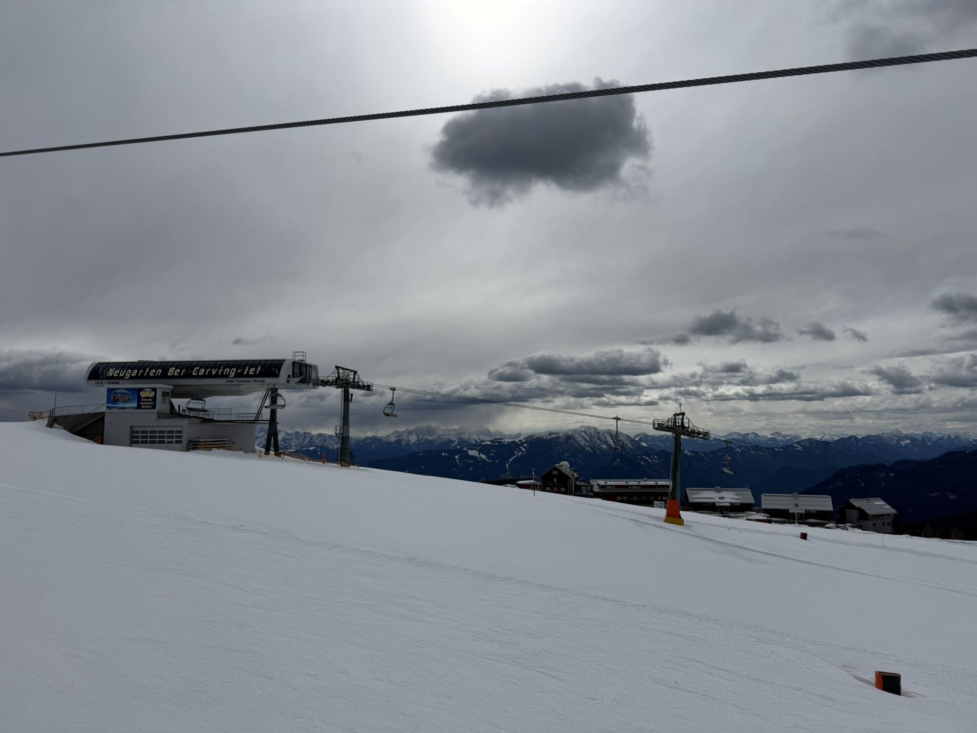
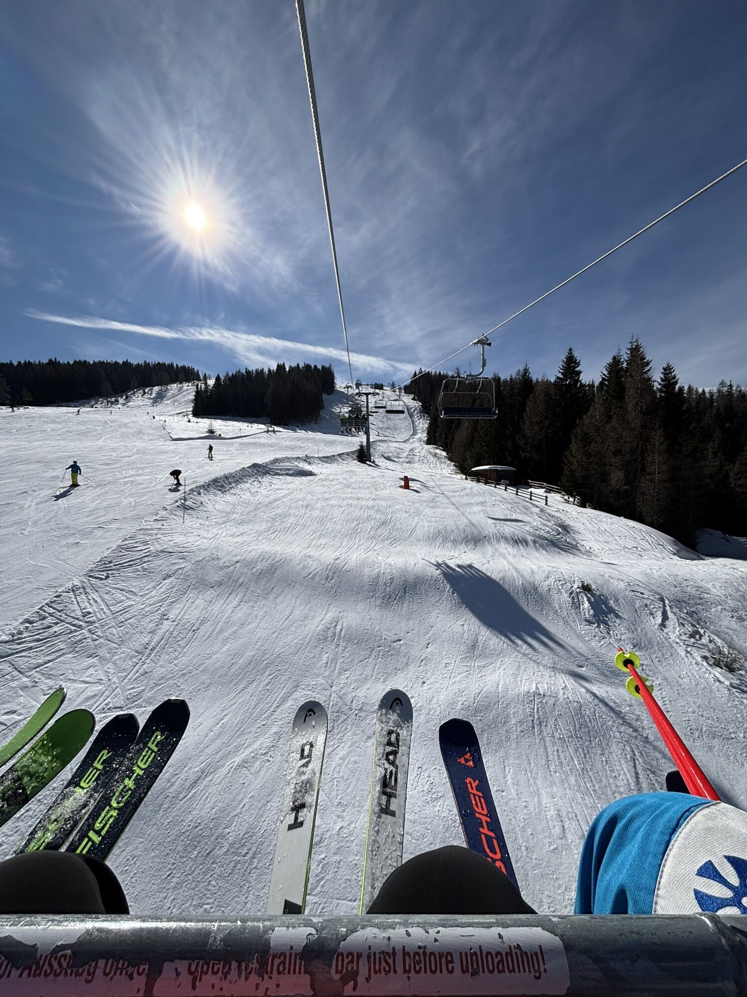
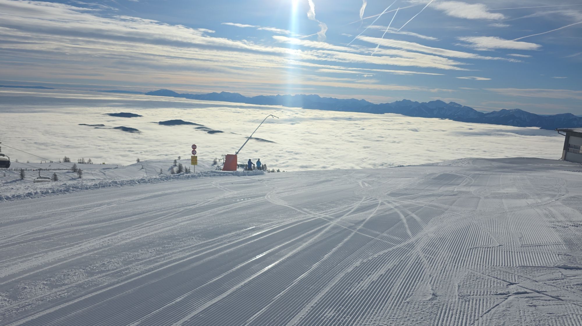
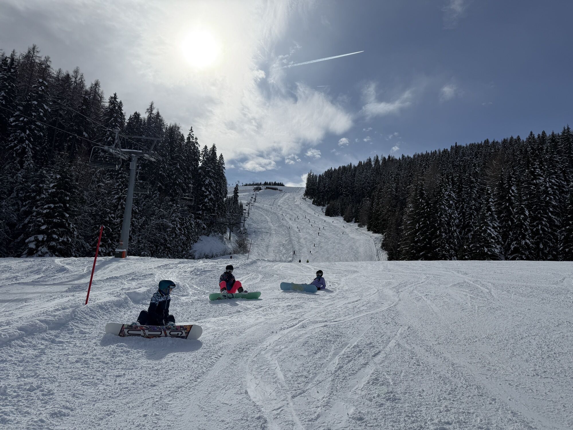
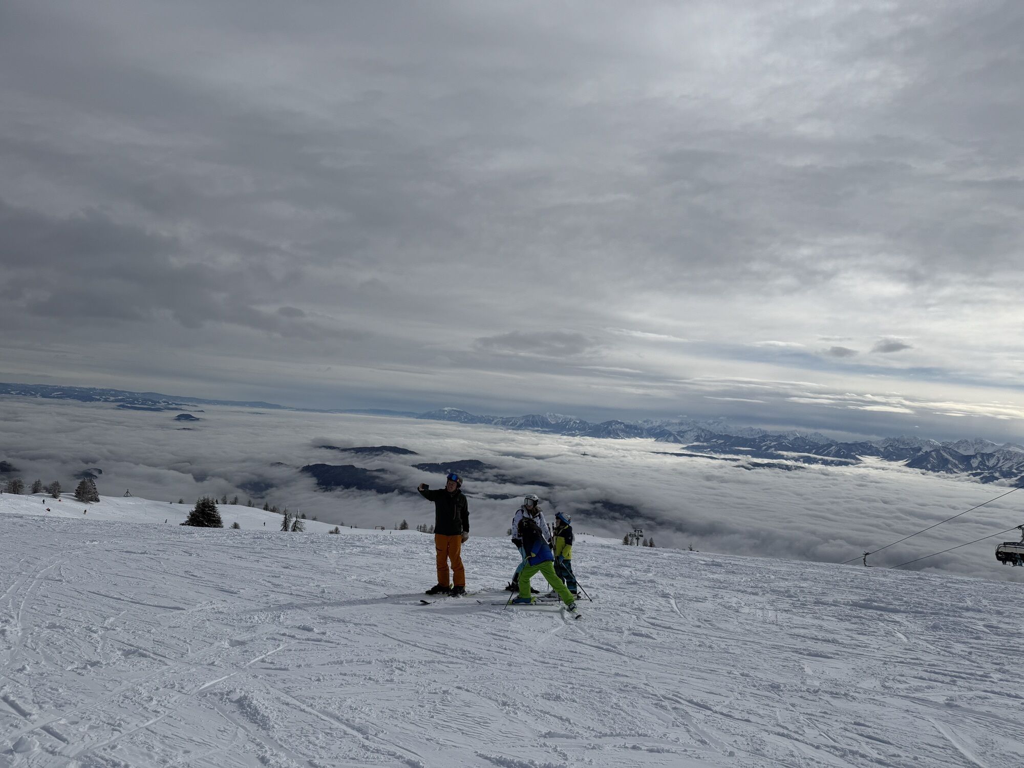
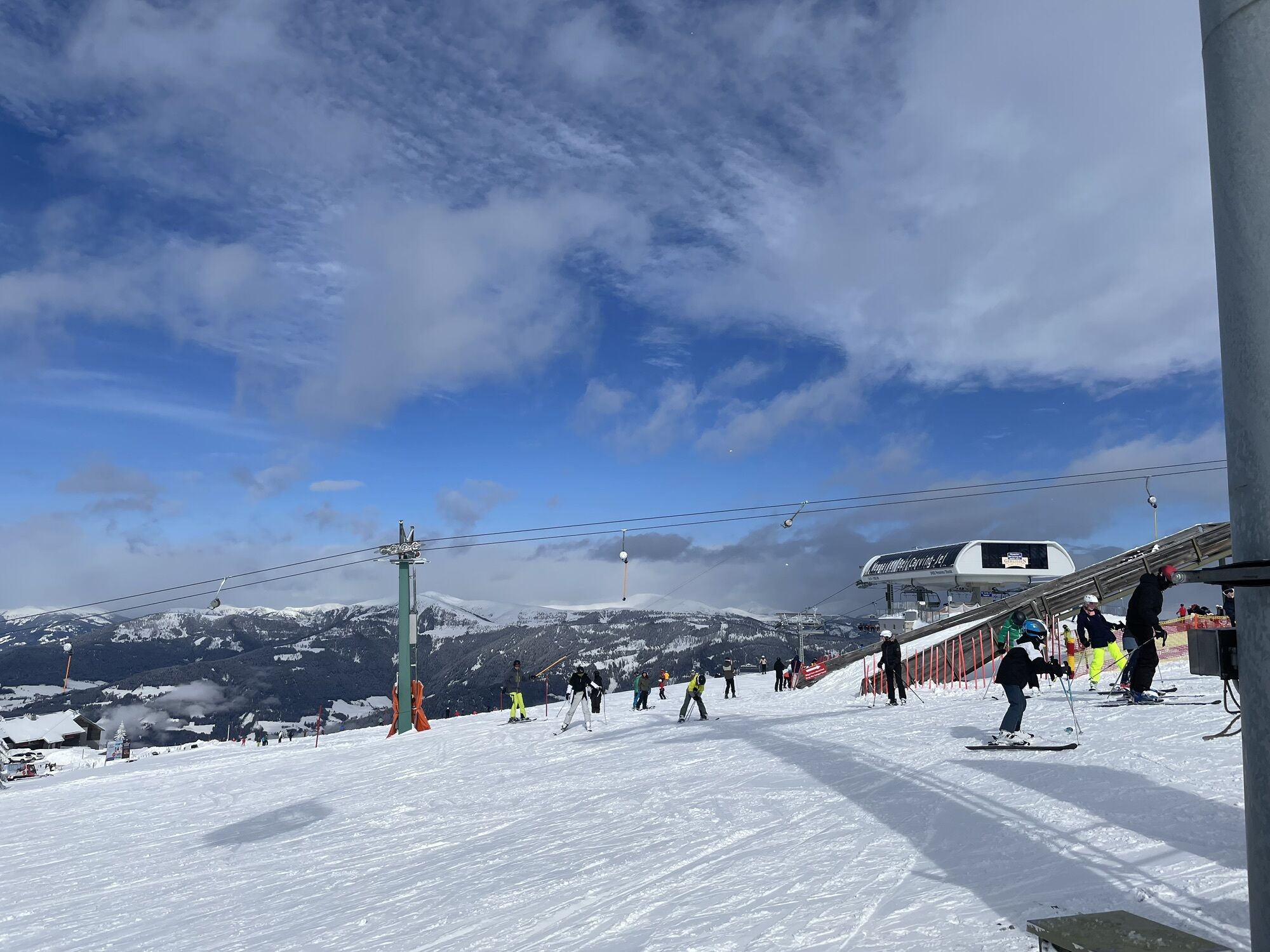
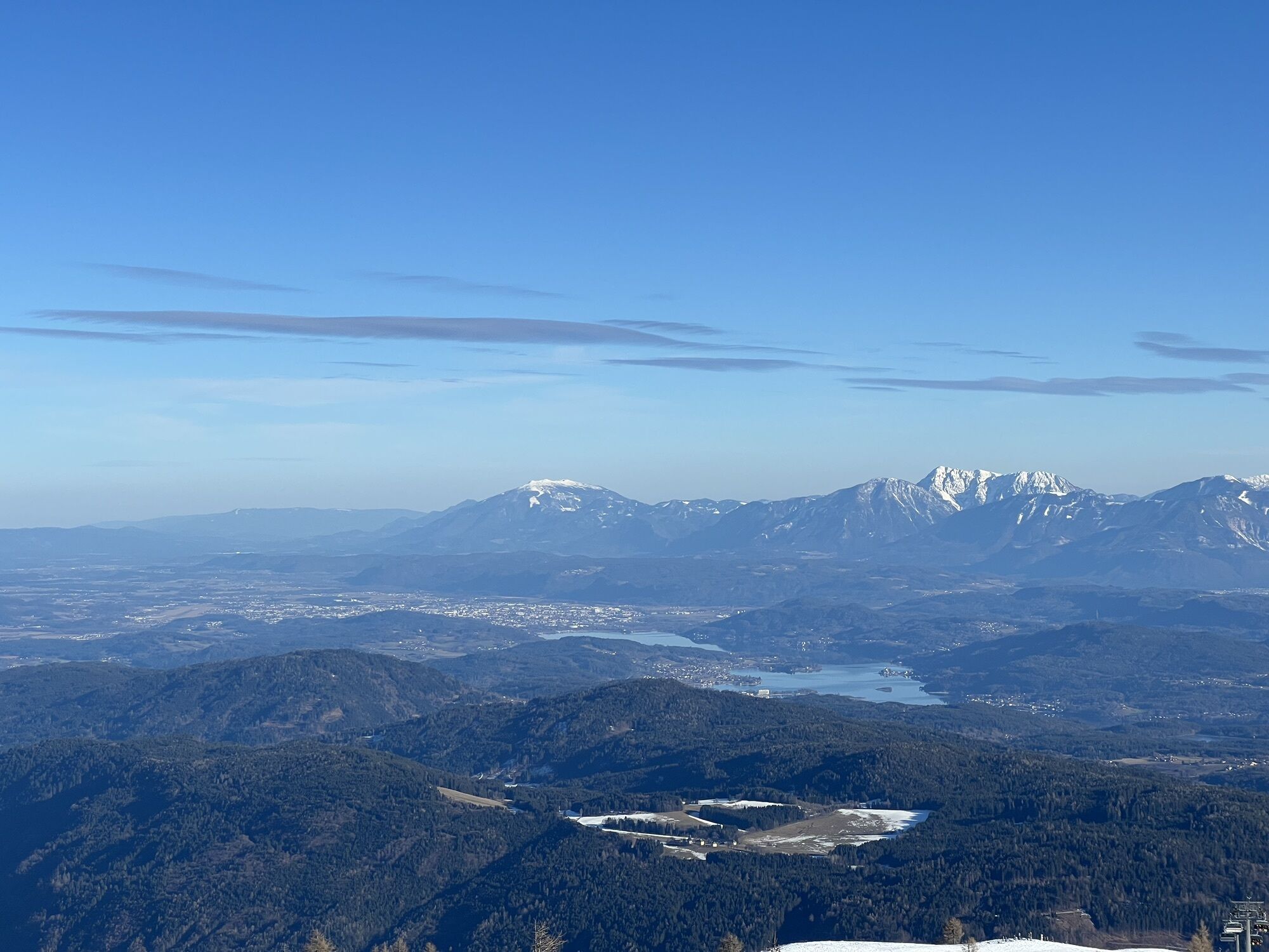
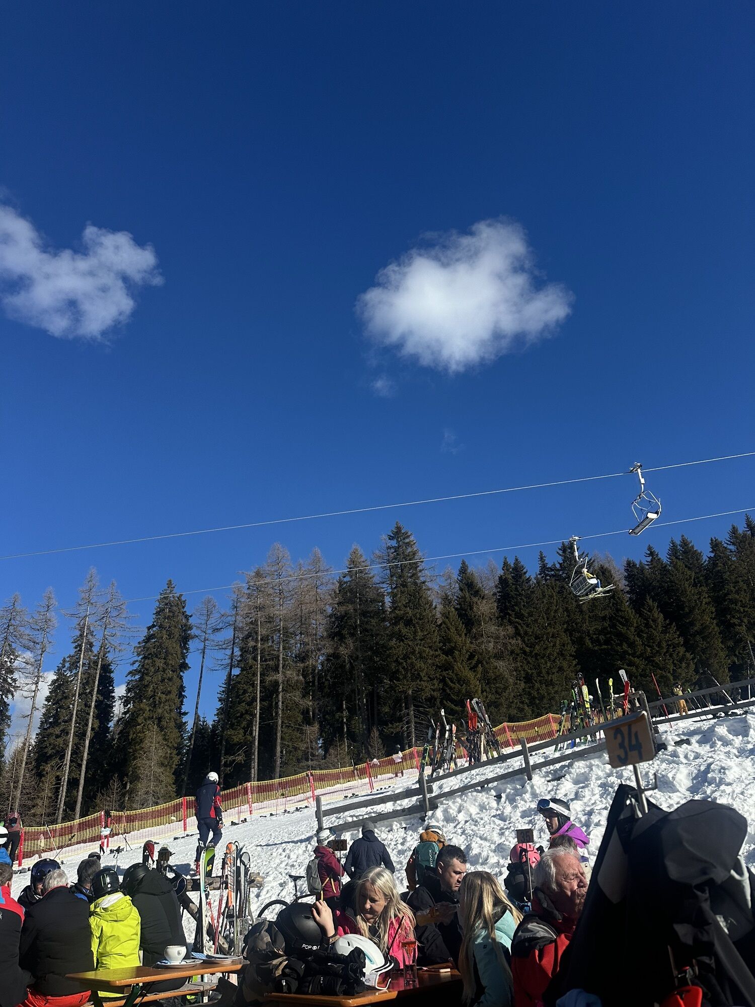
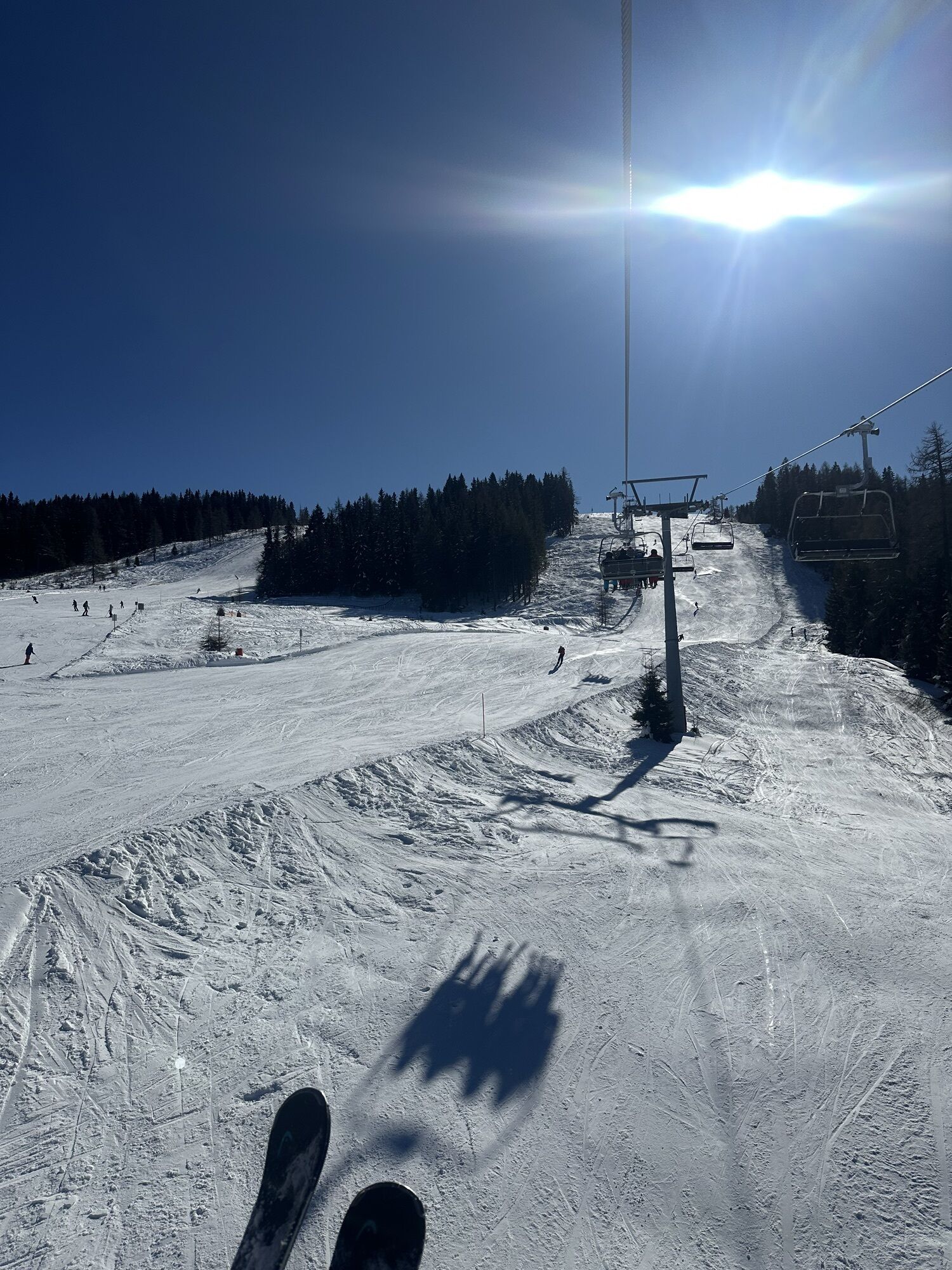
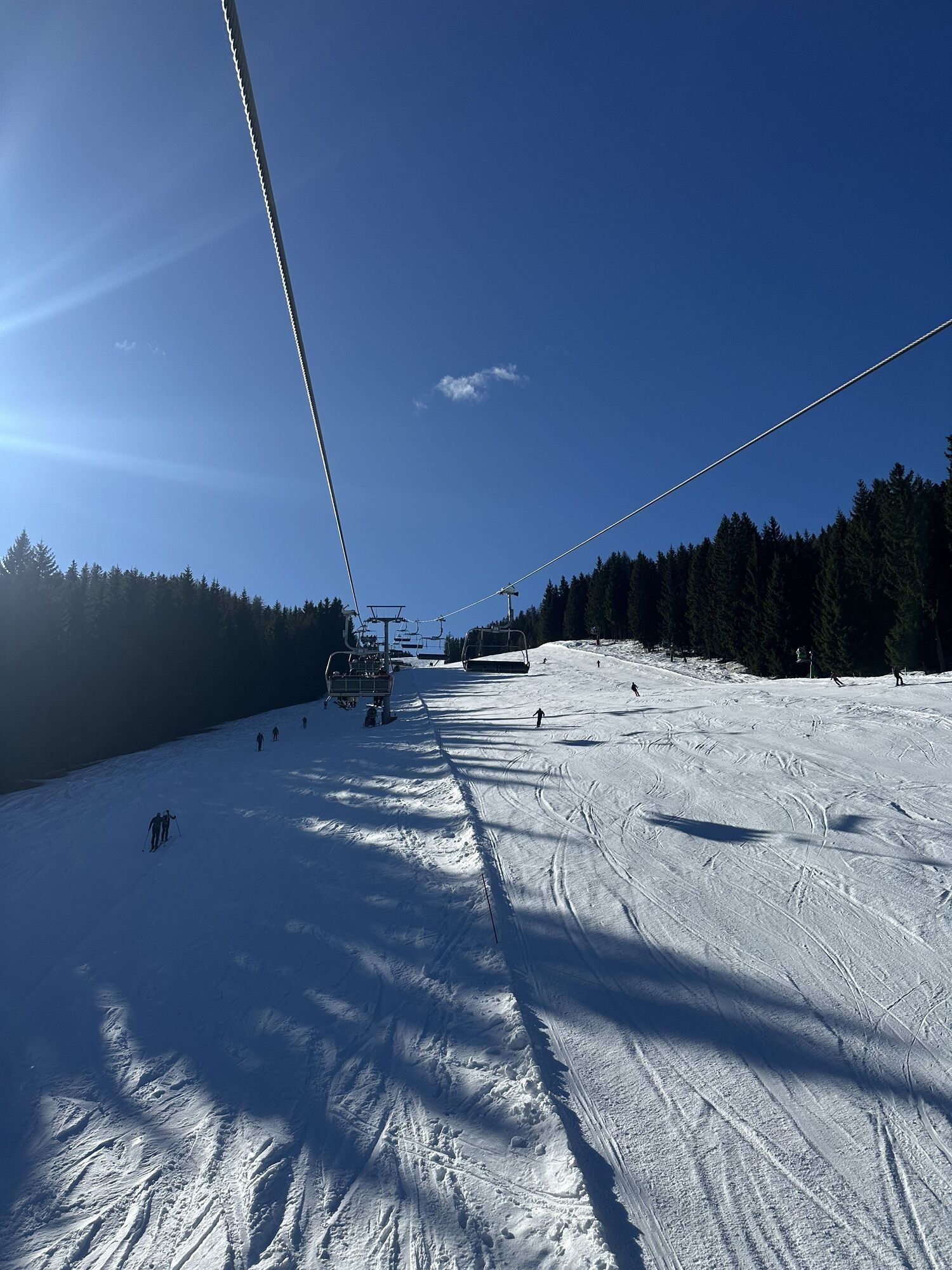
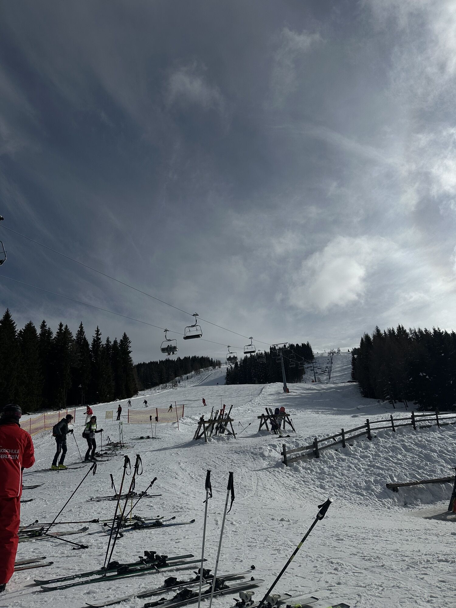
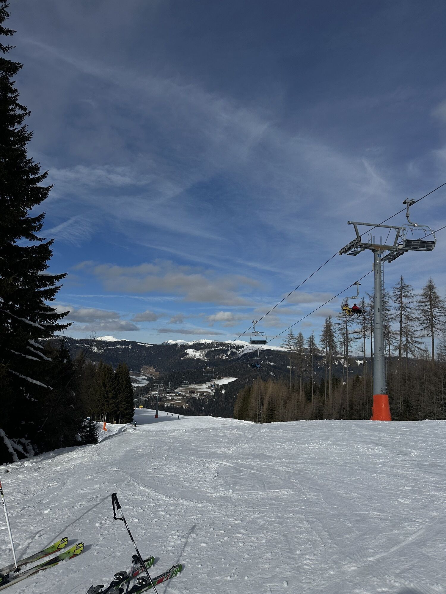
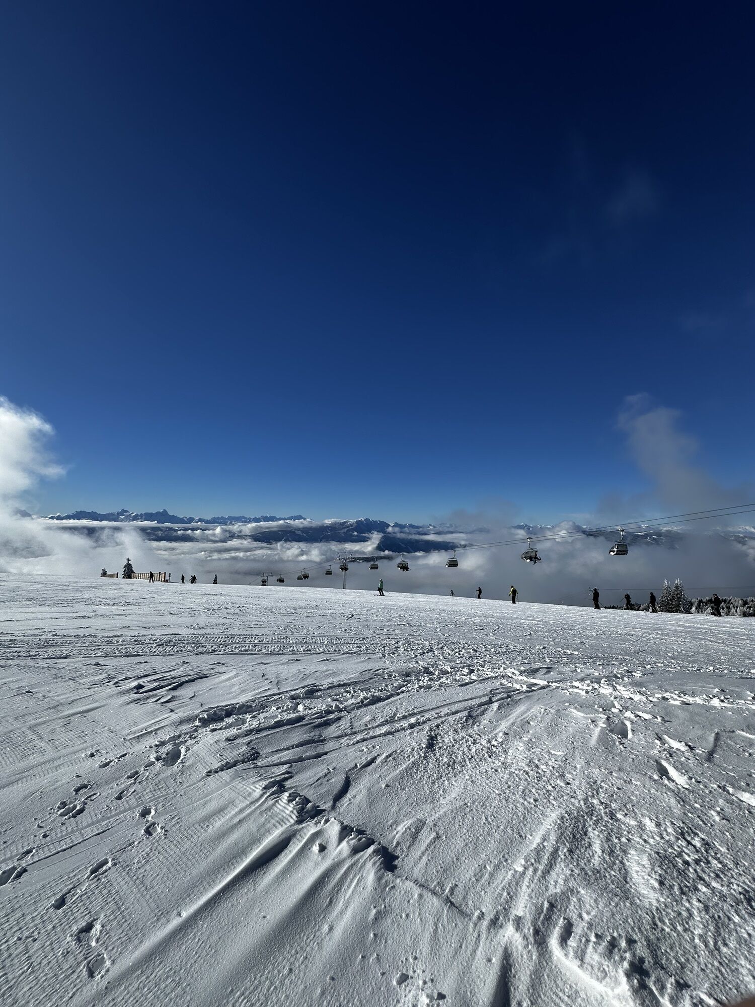
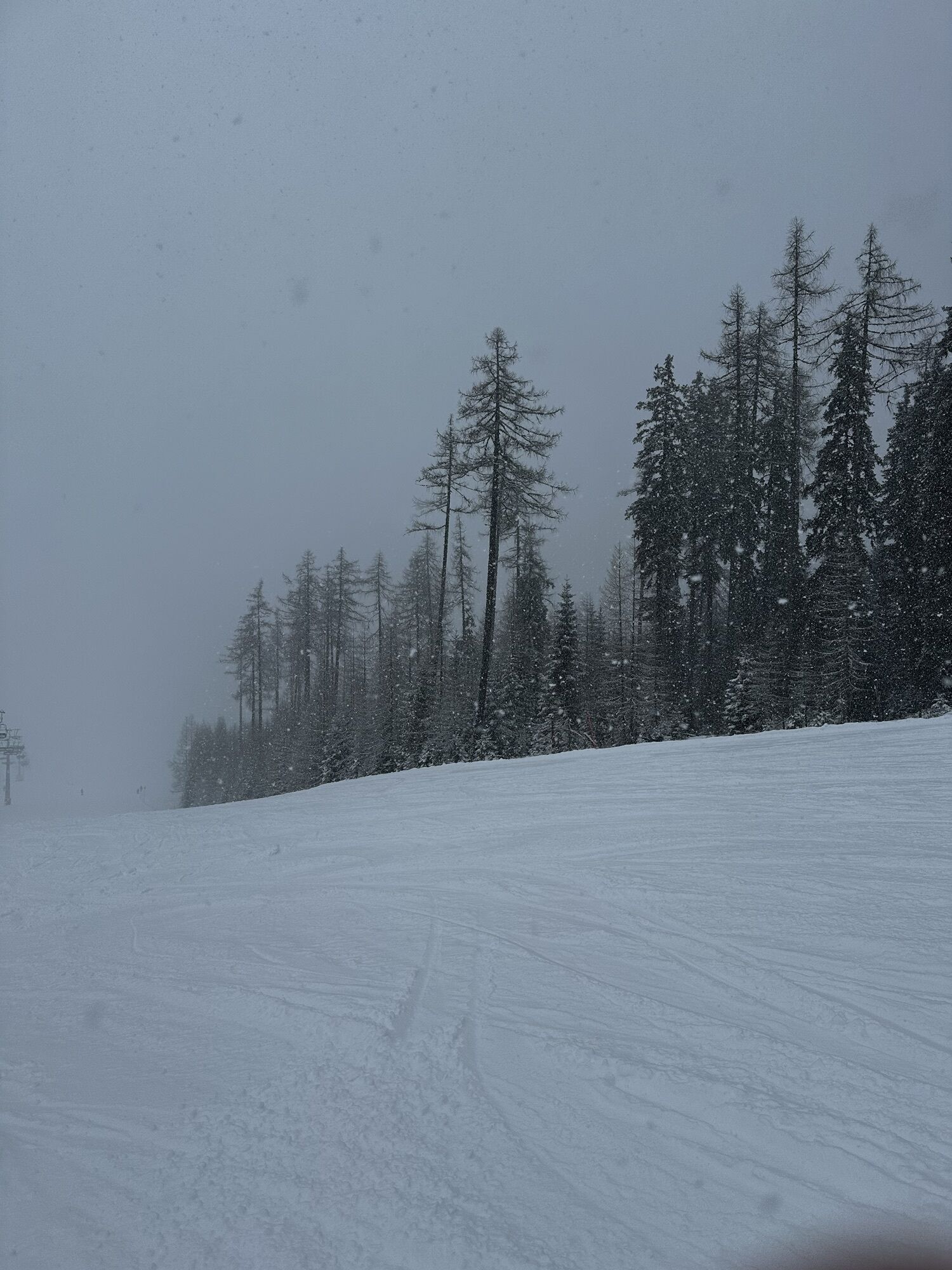
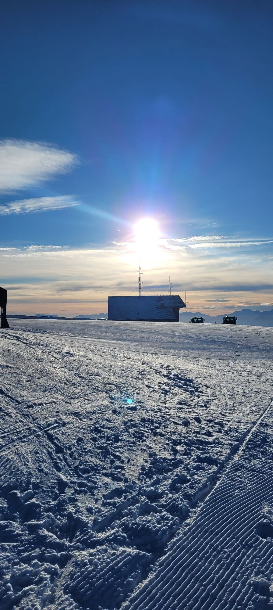
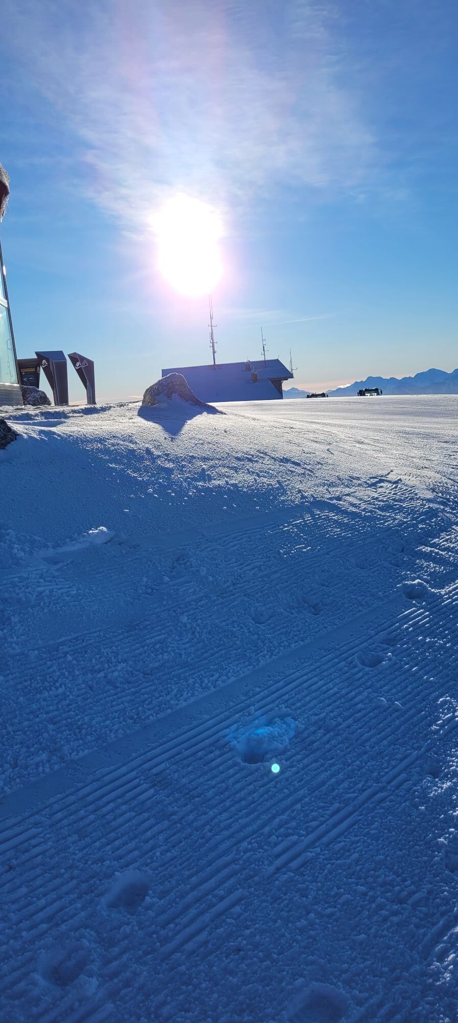
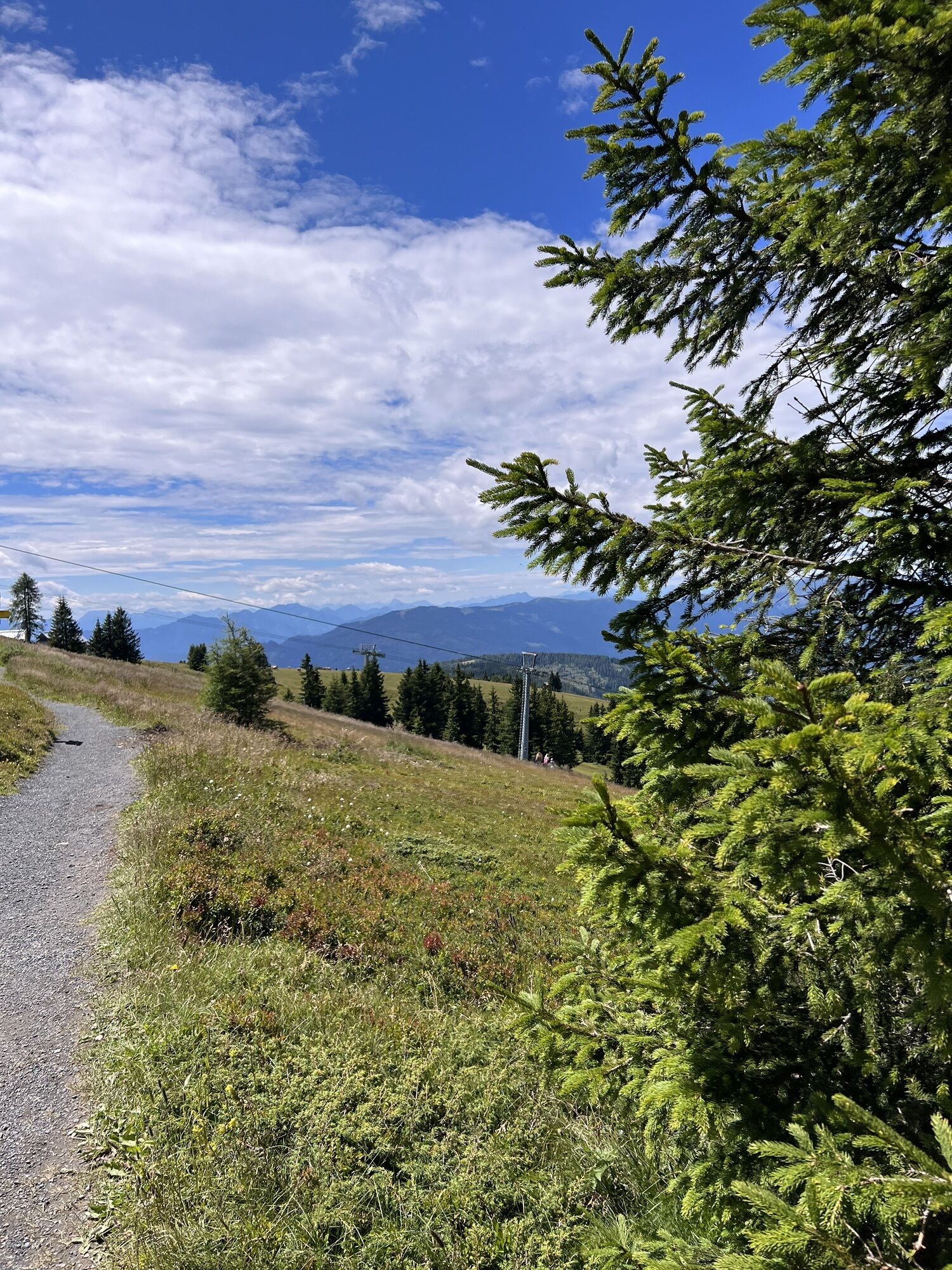
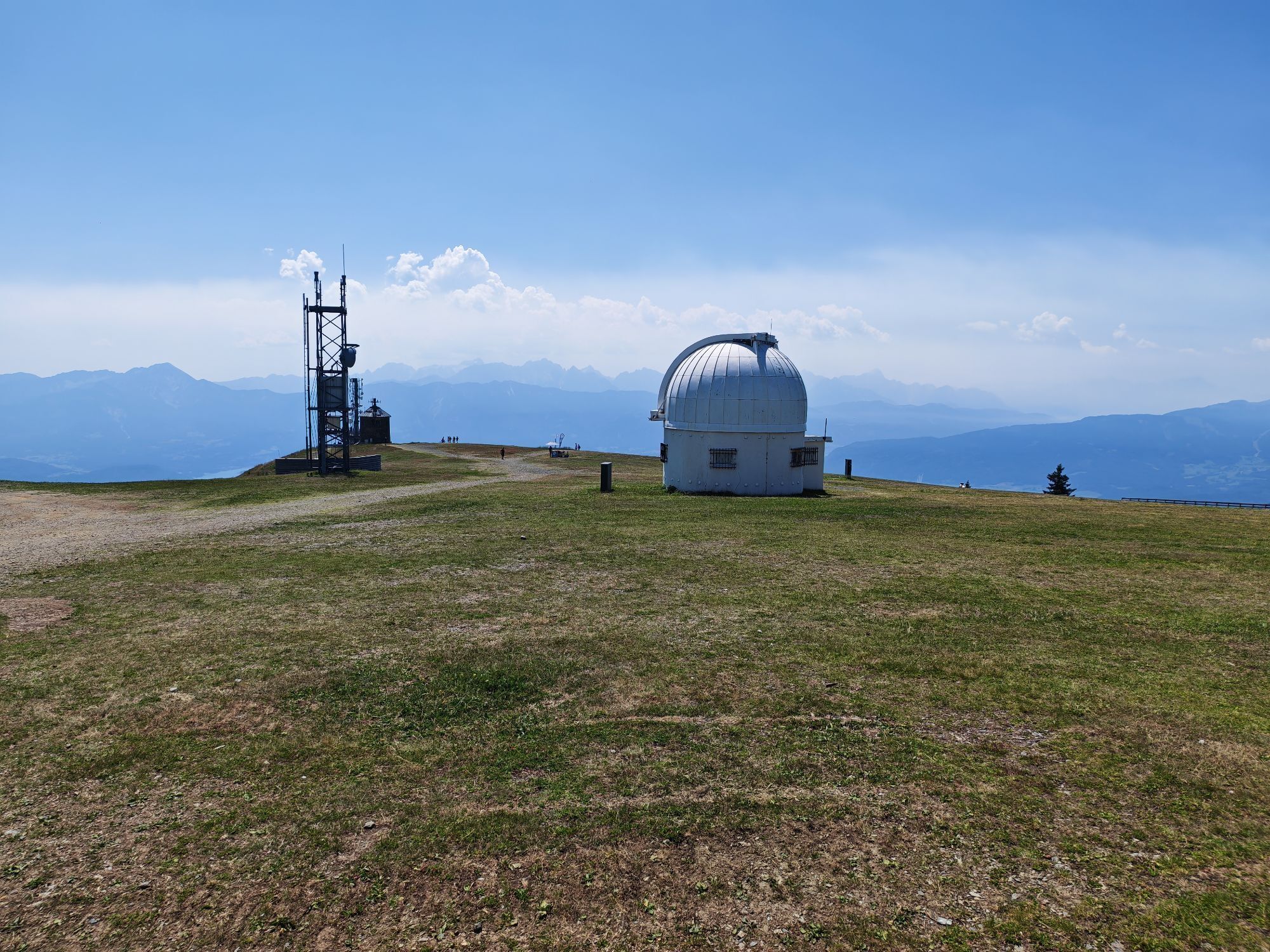
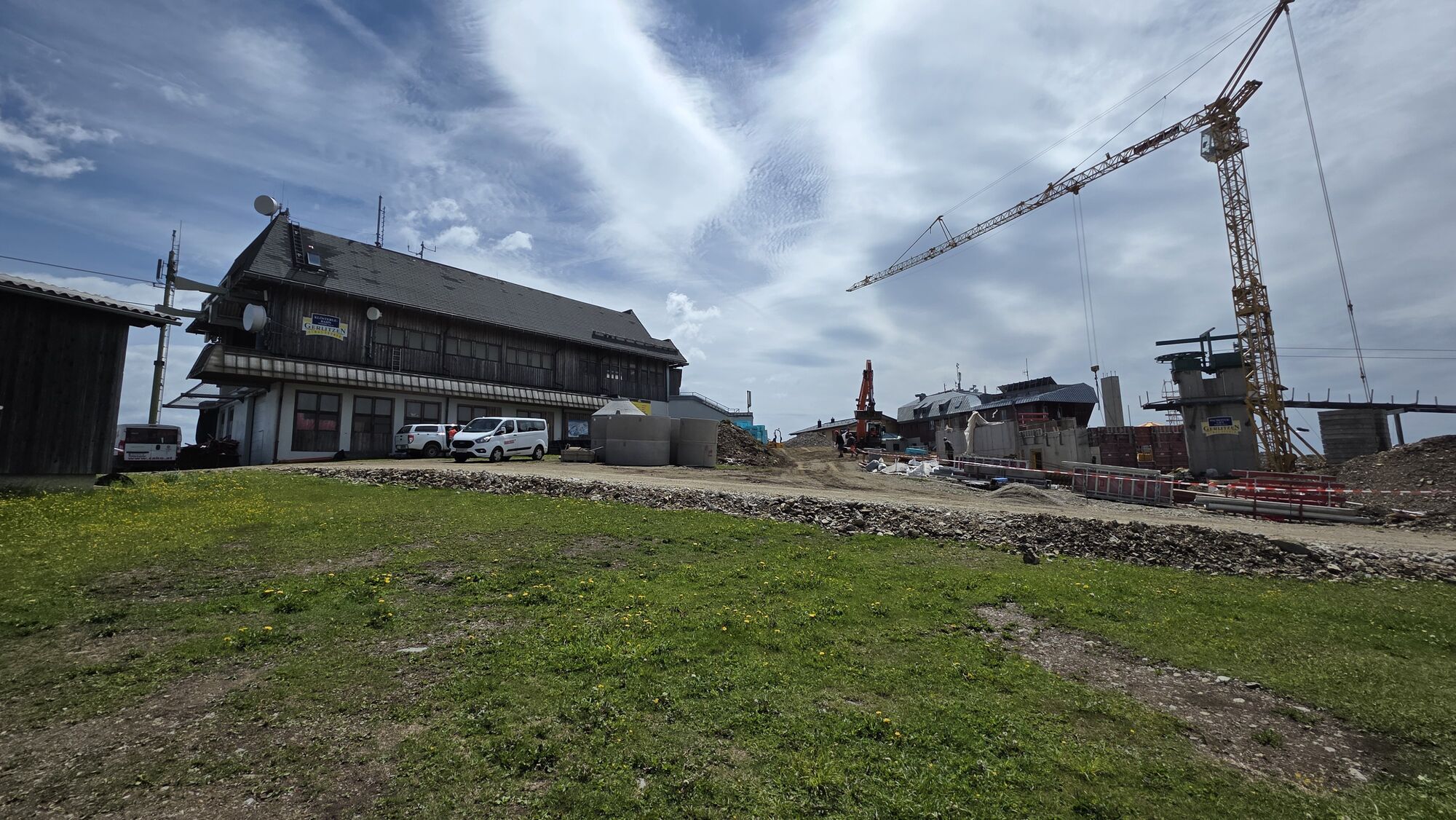
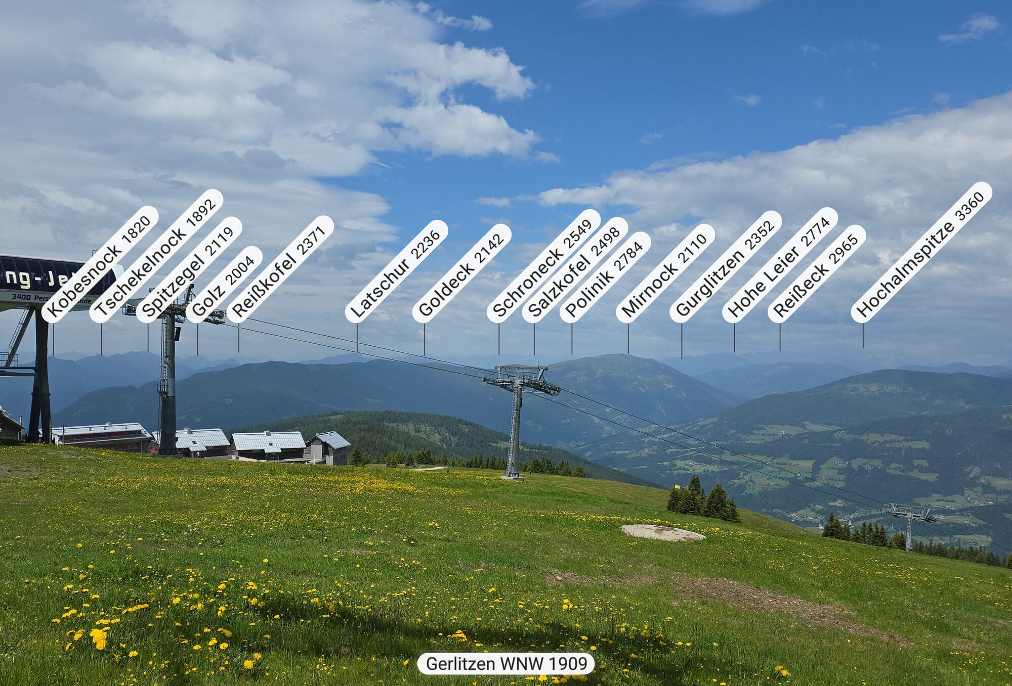
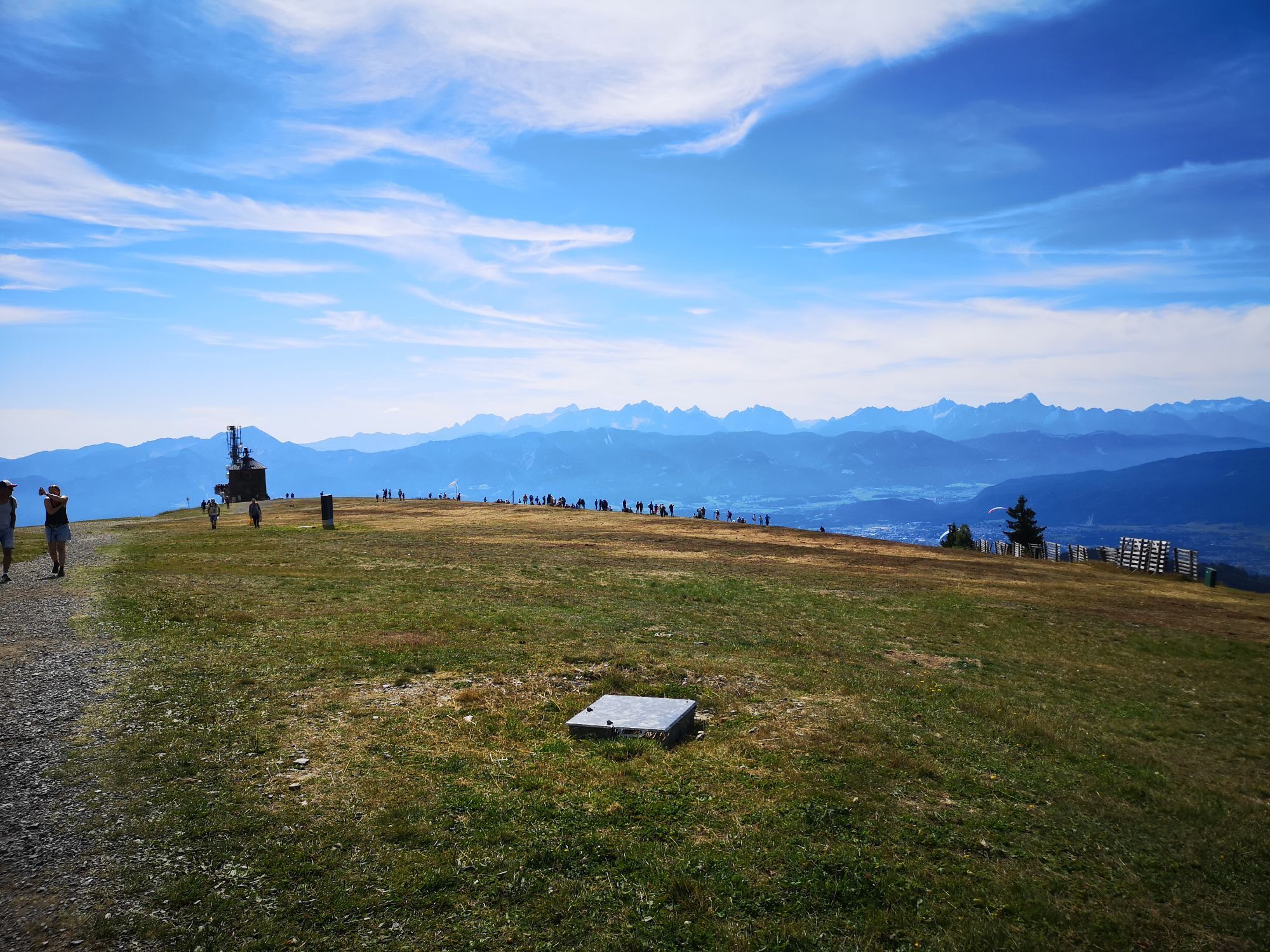
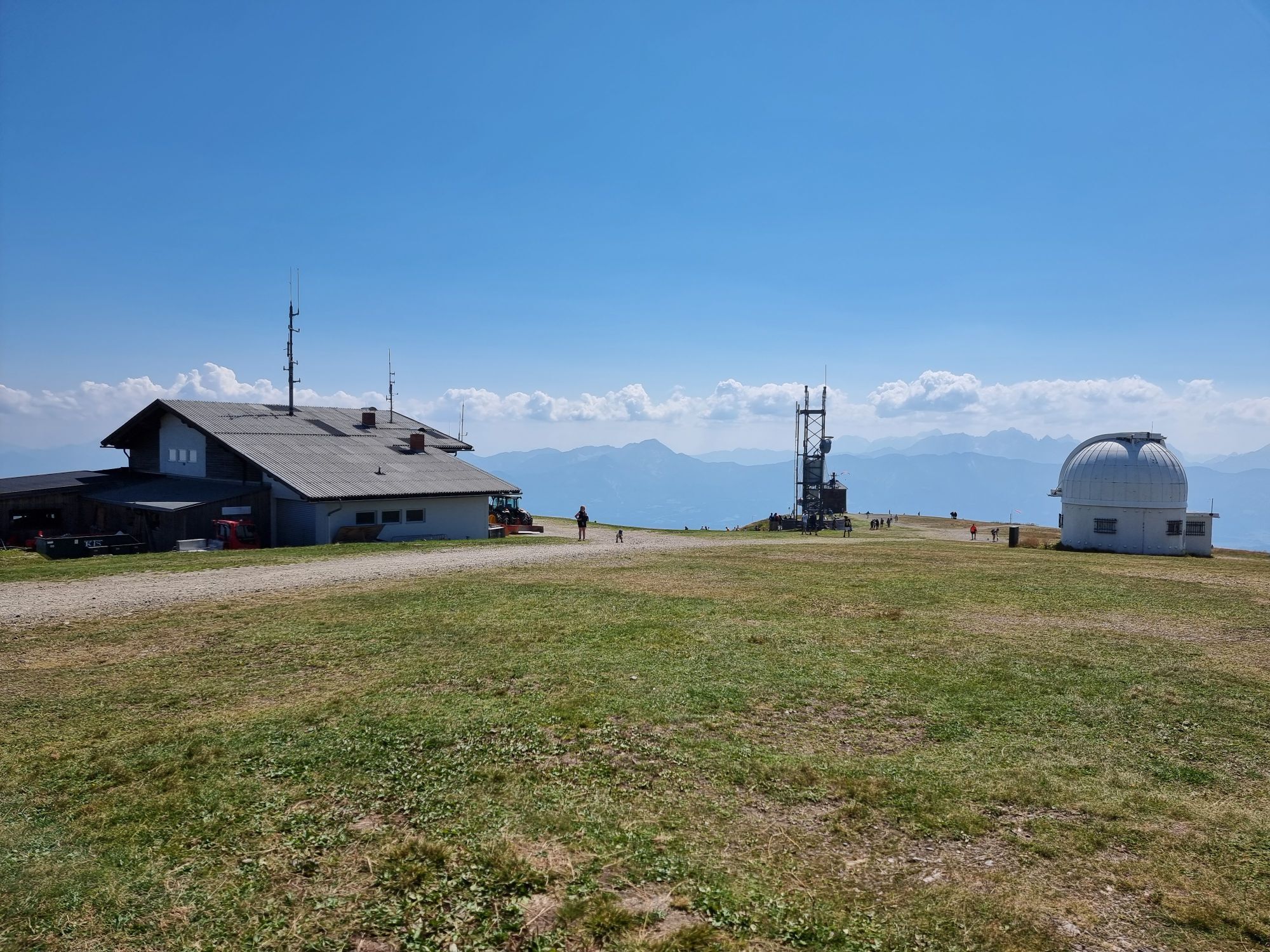
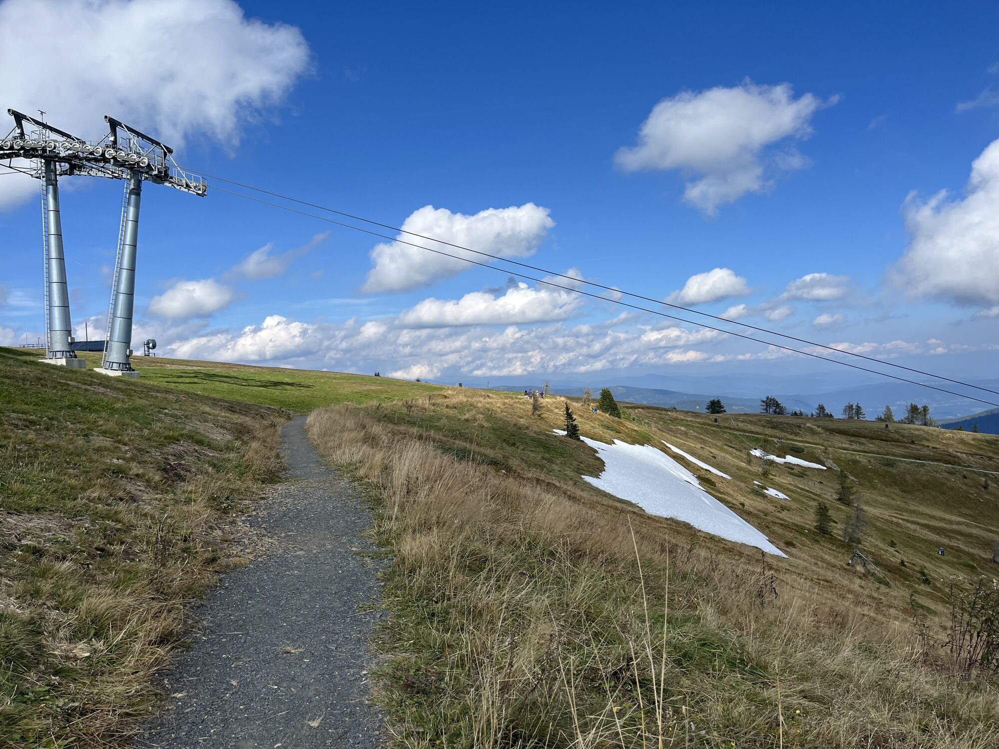
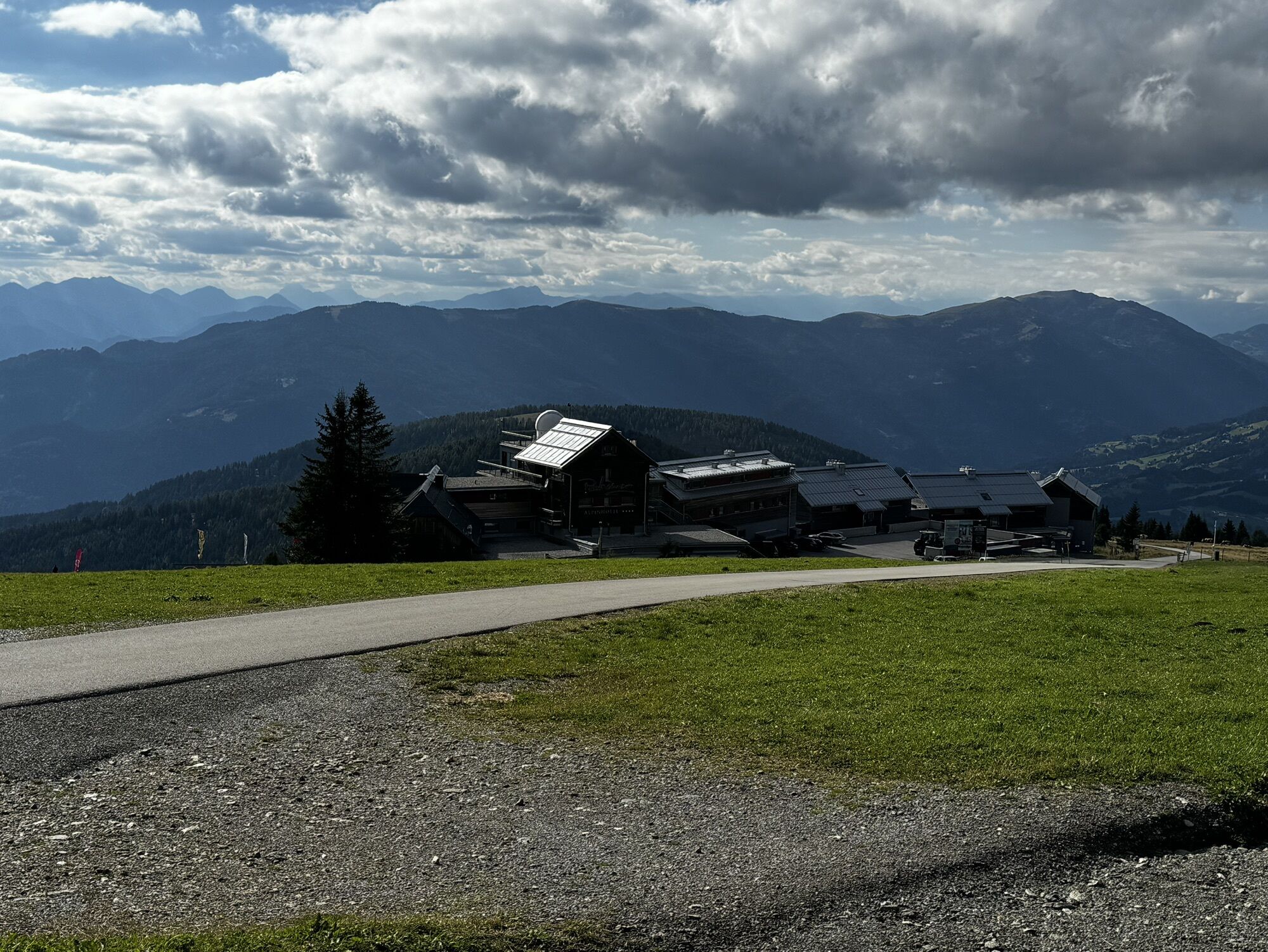
The technically easy slope route starts at the left edge of the slope and goes up to the 1,911 m high Gerlitzen with magnificent panoramic views of the surrounding mountain world.
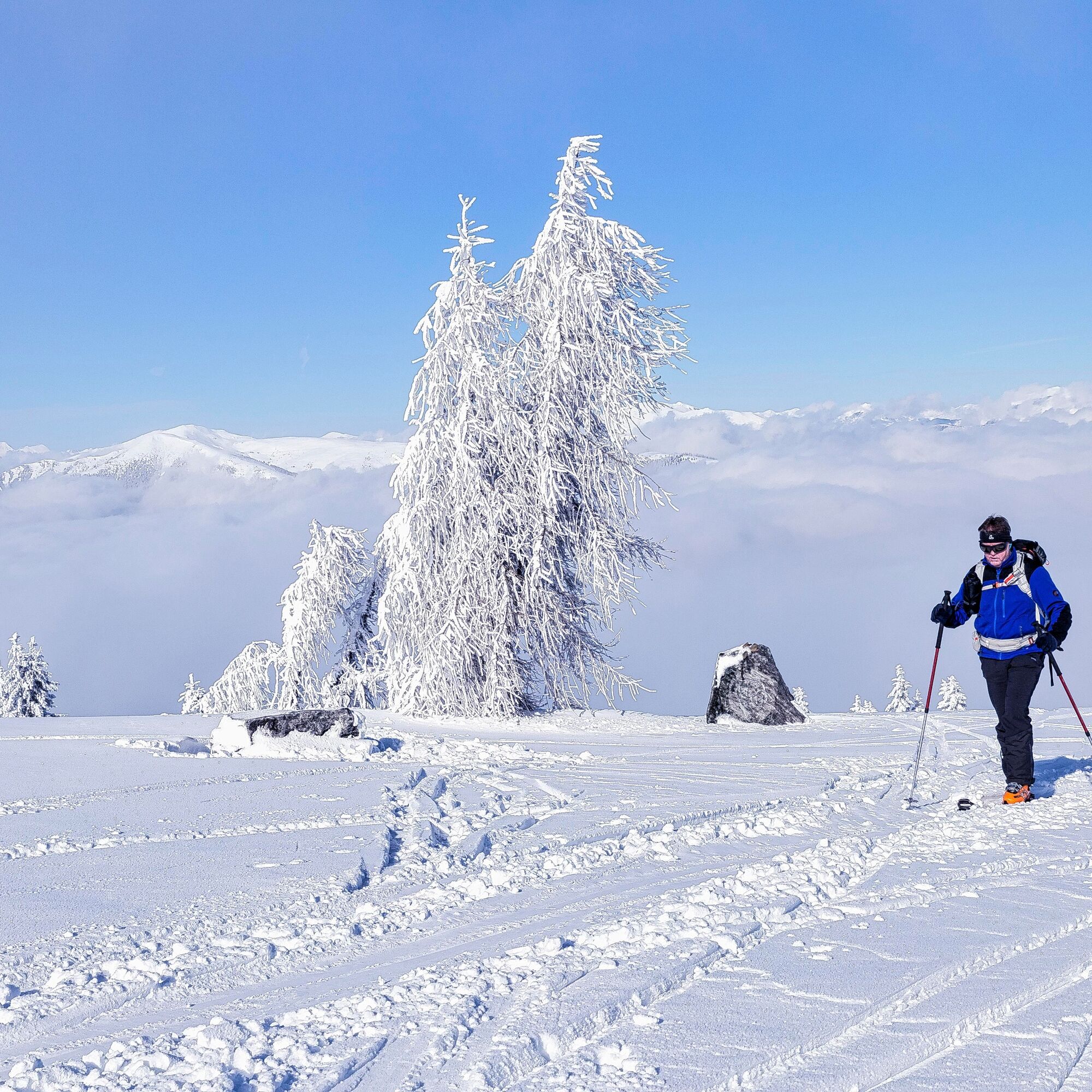
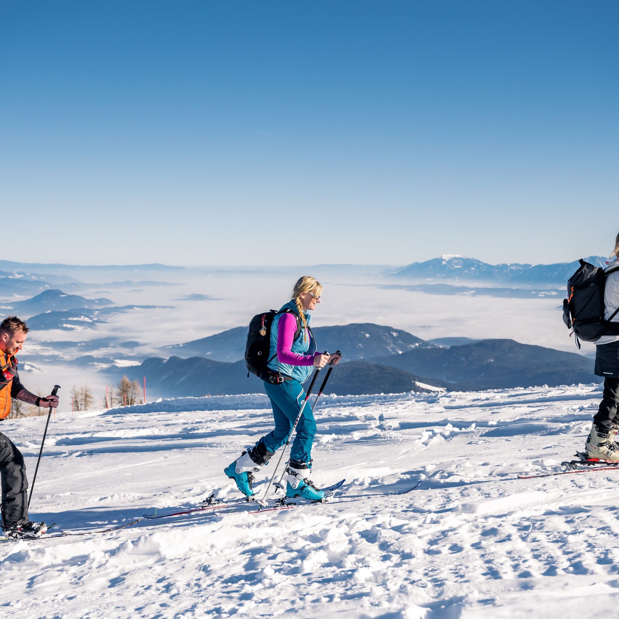
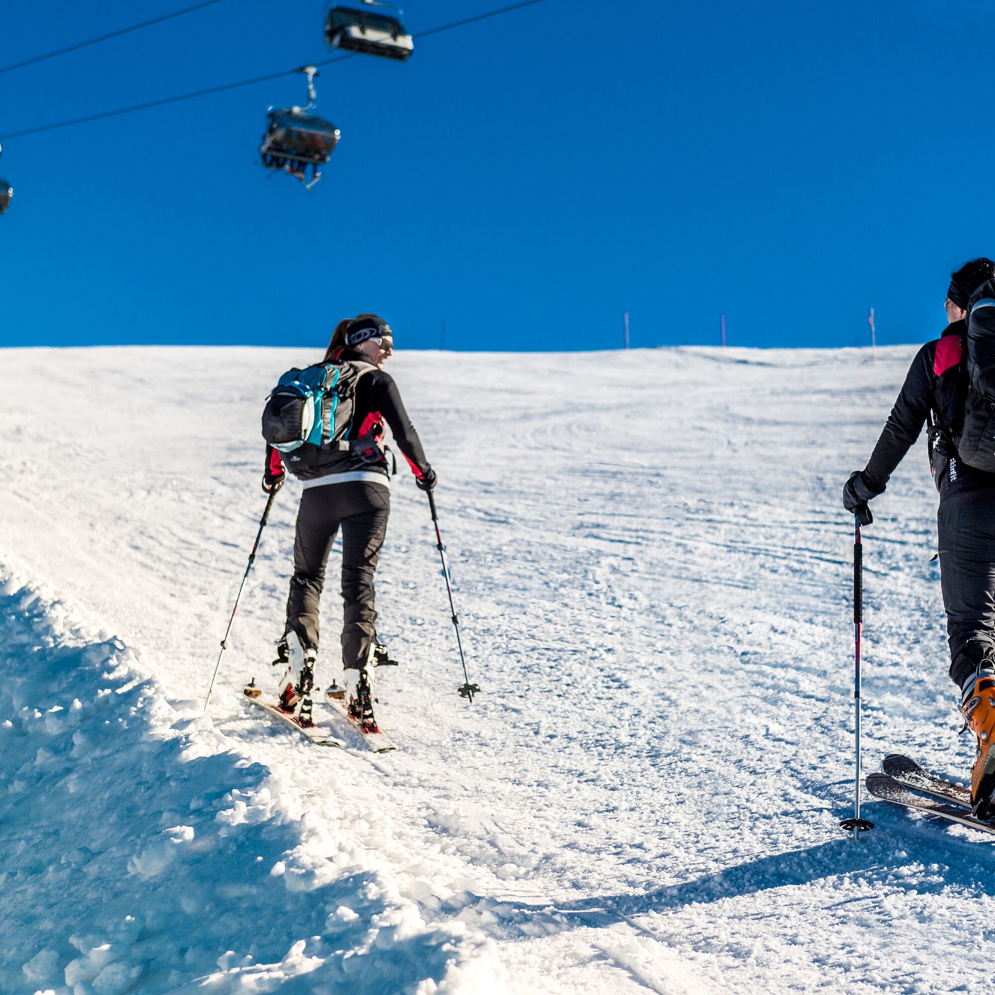

From the parking lot of Gerlitzen Kanzelbahn Touristik GmbH, follow the signposted route or the left edge of the Klösterle slope towards the summit. The descent is allowed exclusively on the official slopes of the mountain railways during operating hours (9:00 AM - 4:00 PM).
Tak
Ski tour ticket (= slope use/parking), ski touring equipment (avalanche transceiver, probe, avalanche shovel), change of clothes, warm drink, first aid, mobile phone.
Rules of conduct for ski tourers:
Please purchase a SKI TOUR TICKET at the Klösterle cable car cashier or at the practice lift (a) Operating hours daily from 8:30 AM to 4:00 PM The slopes are STRICTLY closed from 4:30 PM to 8:30 AM. ENTRY PROHIBITED! Use of the forest path at your own risk! (b) Descending in the forest is prohibited according to forestry law. Ski slopes are primarily for users of cable cars and lifts. Skiers must never be hindered or endangered by uphill tourers. Ascent is allowed exclusively at the edge of the slope (FIS rule No. 7) Crossing the slope is strictly forbidden. Bringing dogs is strictly forbidden!a) Ski tour ticket: The content of the contract with GKT includes the use of the parking lot, ascent via the marked slope route along slopes 8 and 9 to the Gerlitzen summit, and descent via slopes 8, 9 and 6 to the valley station of the Klösterle cable cars.
b) Use of the forest path is not part of the concluded contract. If you ascend via this forest path, you do so outside the contract, at your own risk, and Gerlitzen cable cars bear no contractual responsibility.
Starting from Villach, drive along the B98 Millstätter Straße towards Radenthein, turn off after Innere Einöde onto the Teuchen state road towards Arriach, and follow the road until Klösterle in Innerteuchen.
From Villach, Klösterle in Innerteuchen can be reached by public transport.
Parking is permitted at the Gerlitzen Kanzelbahn Touristik GmbH parking lots for a parking and slope usage fee of 8 euros.


Kamery internetowe z trasy
Gerlitzen Gipfel
Gerlitzen Gipfel
Gerlitzen Gipfel
Gerlitzen Gipfel
Annenheim/Ossiacher See
Gerlitzen Gipfel
Bergstation Pöllingerbahn 1.660m (250hm/ca. 45min leicht wanderbar zum Gipfel)
Gerlitzen Mittelstation Kanzelhöhe
Gerlitzen Mittelstation Kanzelhöhe
Gerlitzen Mittelstation Kanzelhöhe
Gerlitzen Mittelstation Kanzelhöhe
Hotel SeeRose
Gerlitzen - Klösterle Obere Sektion
Kinderland Kanzelbahn (1.440m)
Ossiacherberg
Klösterle Talstation
Neugarten Talstation 8er-Carving-Jet
Bodensdorf am Ossiacher See
Bodensdorf am Ossiacher See
Uzyskaj wgląd Zawsze na żywo z ponad 9 500 kamer internetowych. bergfex Jako użytkownik Pro, możesz teraz zobaczyć odpowiednie kamery internetowe dla wielu wycieczek w aplikacji wycieczki od. Pozwala to na bezpośredni podgląd aktualnych warunków. Aktywności na trasie

Arriach, Kärnten/Österreich
19.03.2026 – Wycieczka narciarskaArriach, Kärnten/Österreich
17.02.2026 – Wycieczka narciarska
Arriach, Kärnten/Österreich
02.02.2026 – Wycieczka narciarskaArriach, Kärnten/Österreich
01.02.2026 – Wycieczka narciarskaInnerteuchen, Kärnten/Österreich
08.01.2026 – Wycieczka narciarska
Arriach Skitour
02.01.2026 – Inne
Arriach, Kärnten/Österreich
14.12.2025 – Wycieczka narciarskaInnerteuchen, Kärnten/Österreich
06.12.2025 – Wycieczka narciarska
Popularne wycieczki w okolicy
- 4,7
4 Huts route
średniWędrówka 8,96 km - 5,0
Amberg: Palnock 1901m, Schwarzsee, Rundstrecke
średniWędrówka 7,94 km - 4,5
Lake circular trail
światłoNordic Walking 9,85 km - 4,3
Finsterbach Waterfalls - Circular route
średniWędrówka 3,87 km - 4,2
Schwarzsee circular hiking trail
średniWędrówka 7,79 km - 4,1
Slow Trail Bleistätter Moor (Variant A)
światłoWędrówka 7,22 km - 4,9
Skitour: FIS K70, Auf Franz Klammers Spuren
średniWycieczka narciarska 11,3 km - 4,0
Lake Ossiacher See cycle path – R2 & R2A
średniJazda na rowerze 28,2 km - 4,2
Gerlitzen - Hüttersteig
ciężkiWędrówka 6,80 km - 4,5
Wasserfälle
średniWędrówka 2,48 km

Wędrówki i tropienie


Nie przegap ofert i inspiracji na następne wakacje
Twój adres e-mail została dodana do listy mailingowej.





