







Mohar via the Göritzer Törl

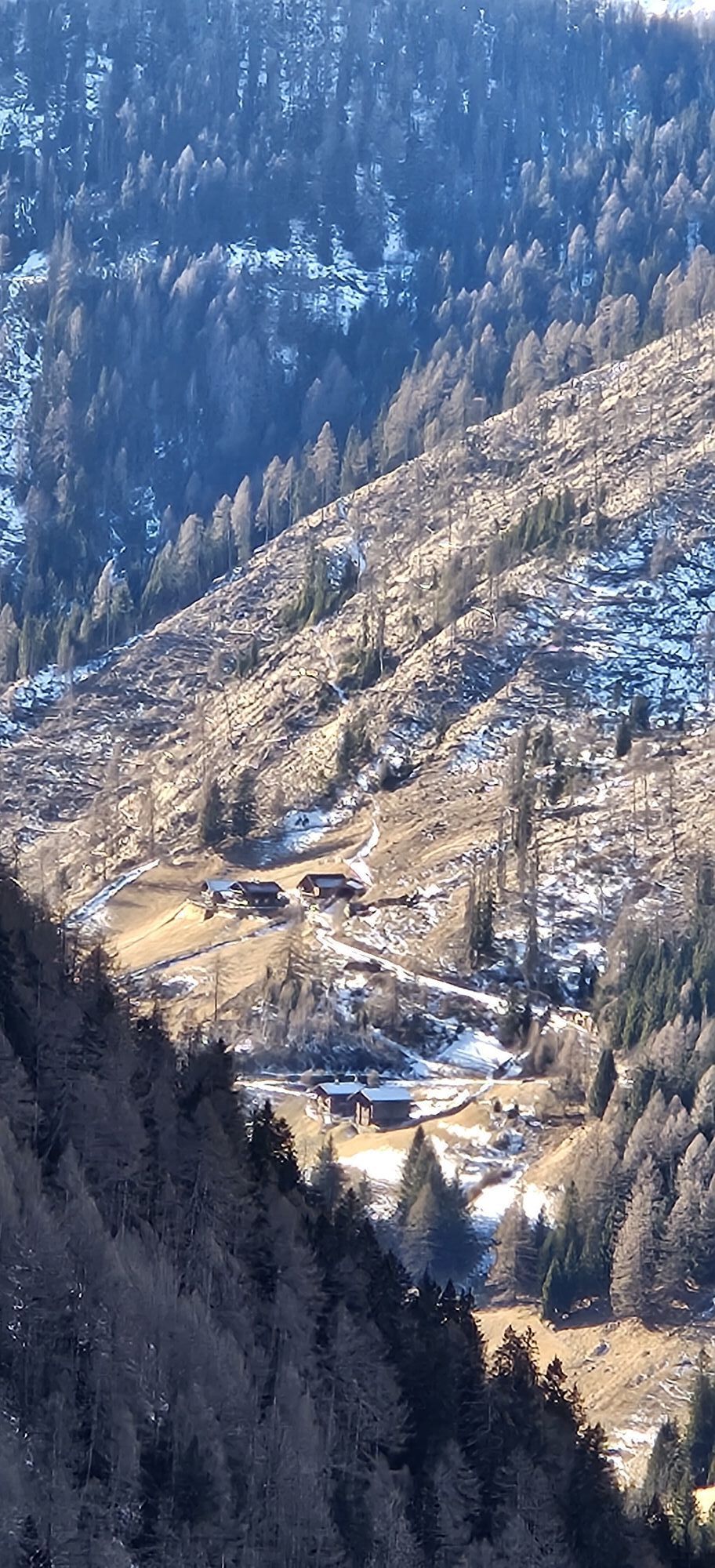
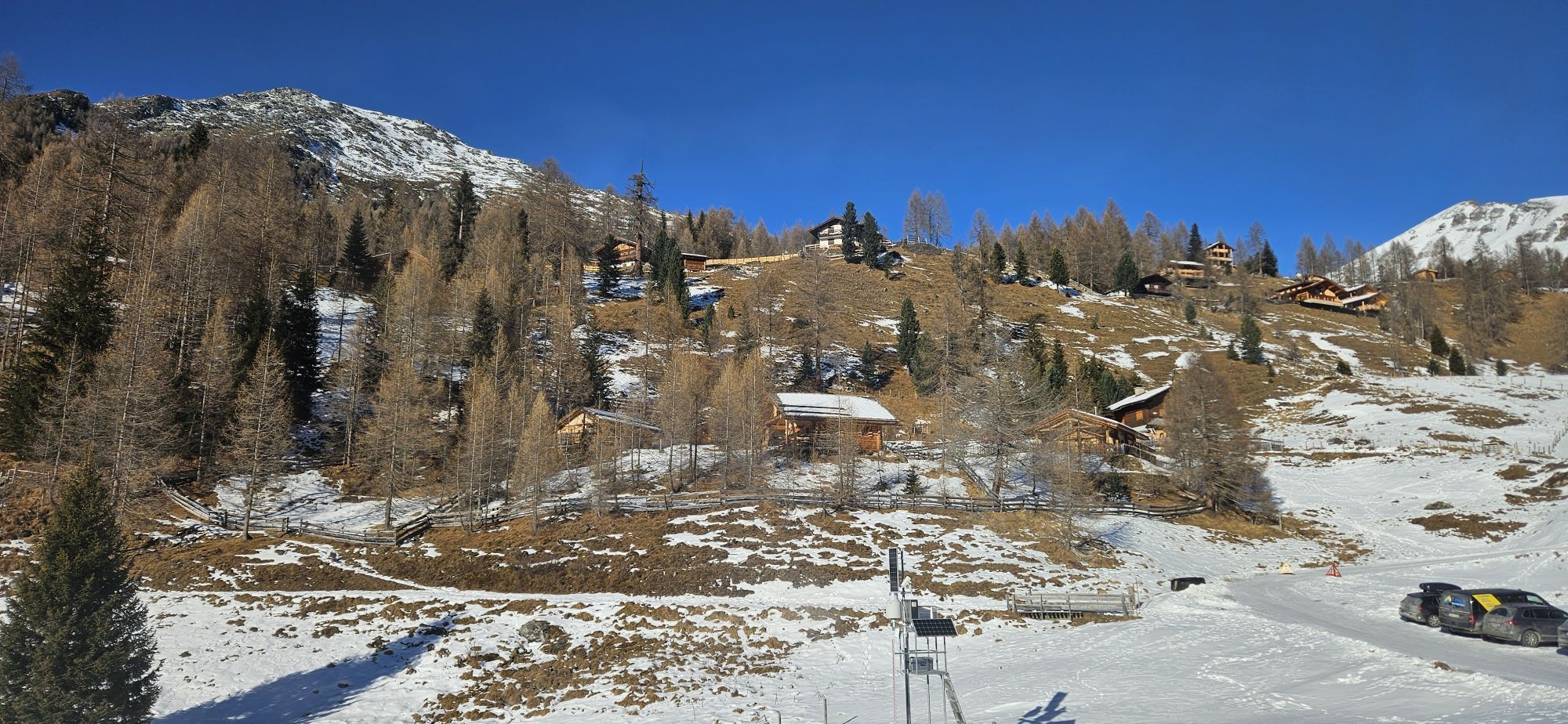
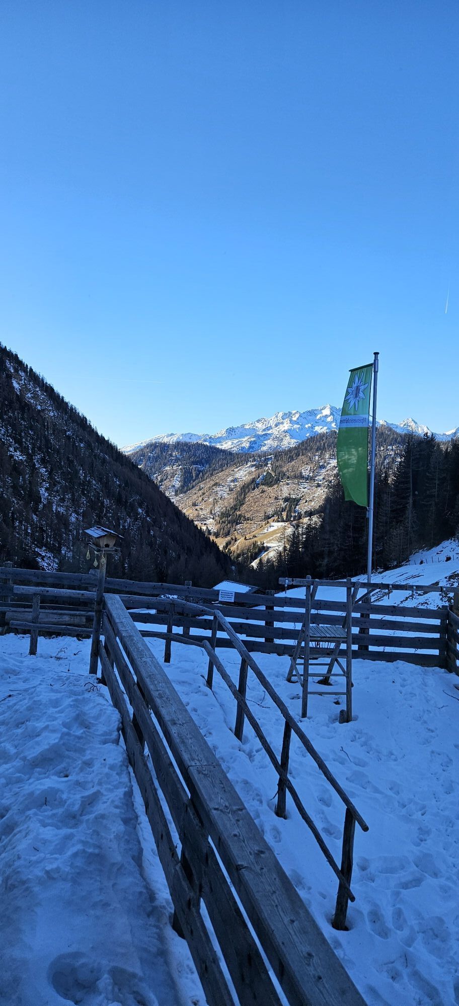
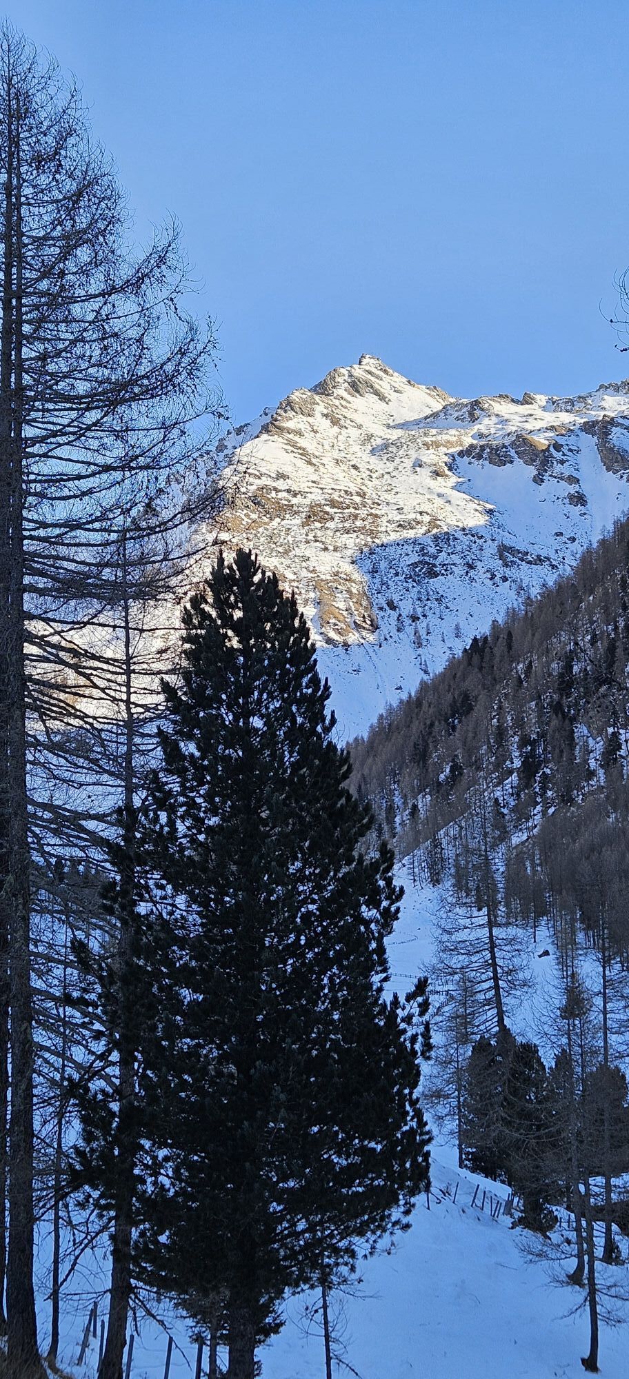

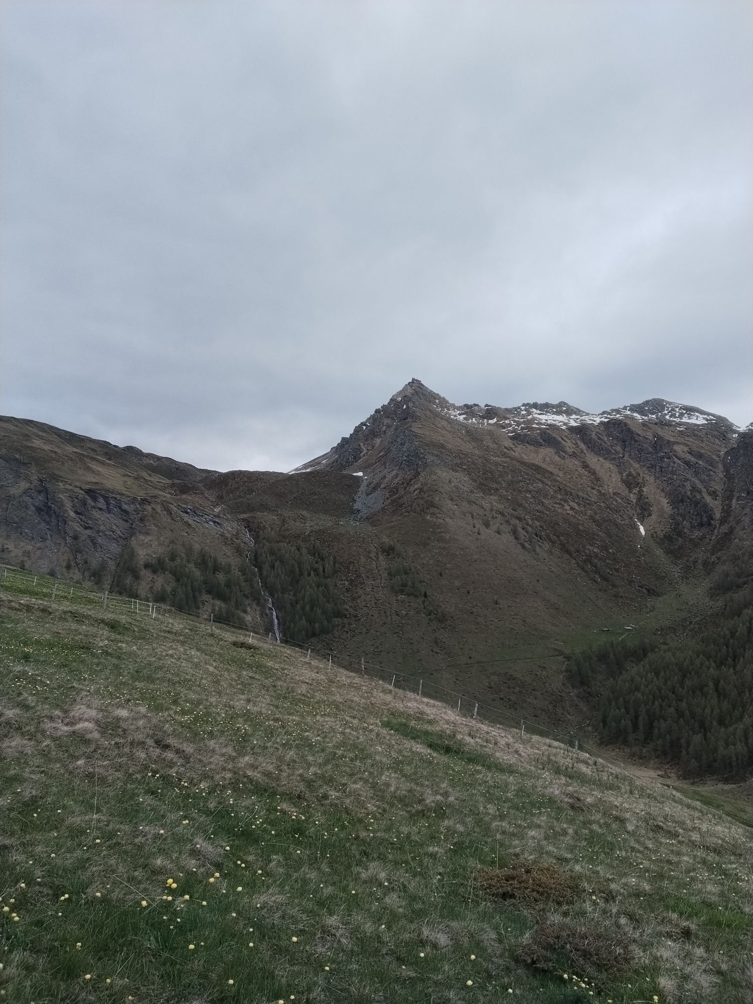
The Asten is an extraordinarily beautiful touring area and offers a variety of easy and moderate routes. The Sadnighaus of the OeAV also provides an excellent accommodation with outstanding cuisine for...
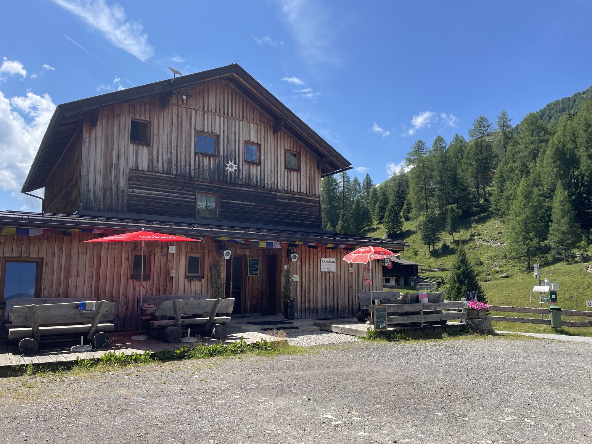
The Asten is an extraordinarily beautiful touring area and offers a variety of easy and moderate routes. The Sadnighaus of the OeAV also provides an excellent accommodation with outstanding cuisine for a multi-day stay! With its 2-hour ascent, the Mohar is one of the shortest ski routes in the Asten valley.
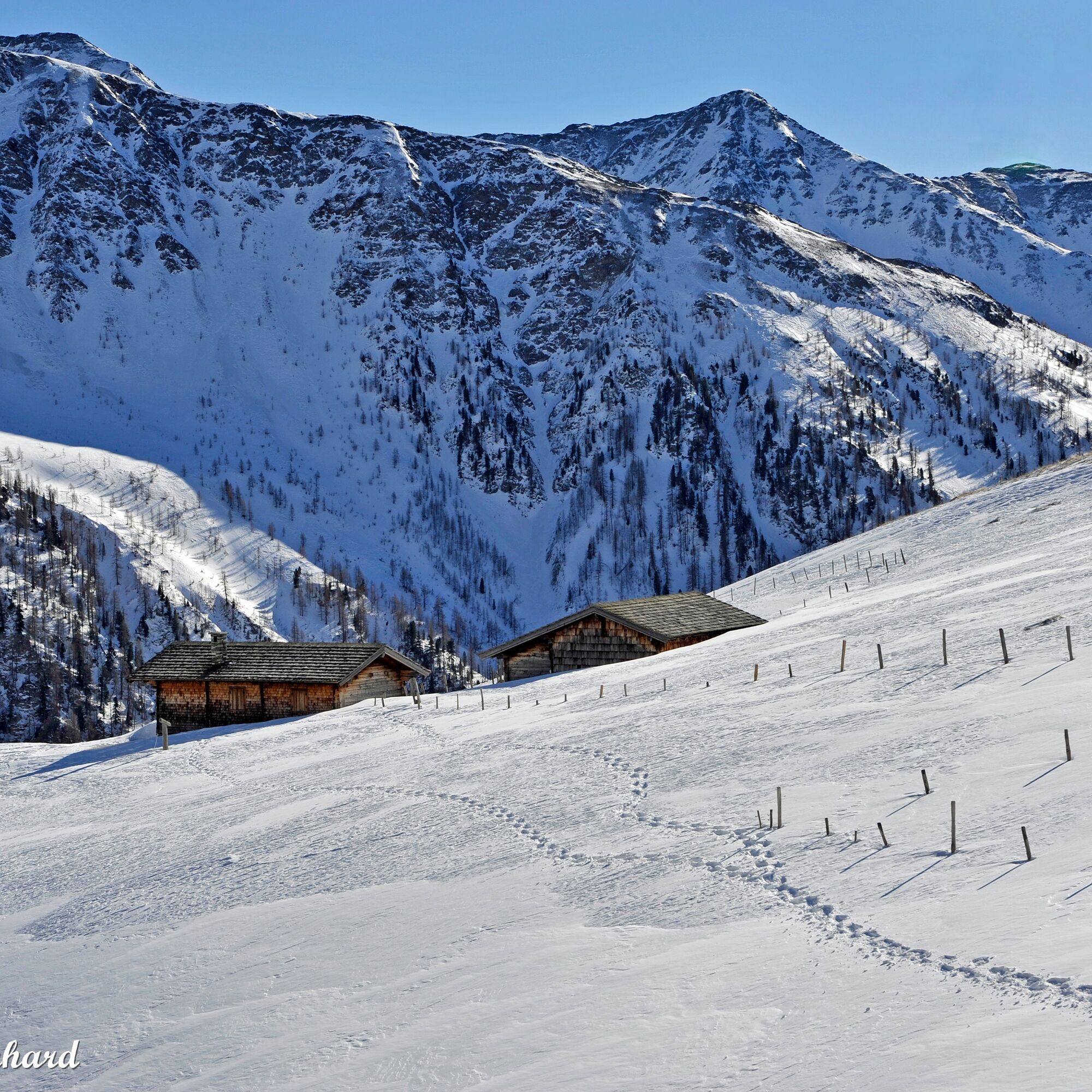
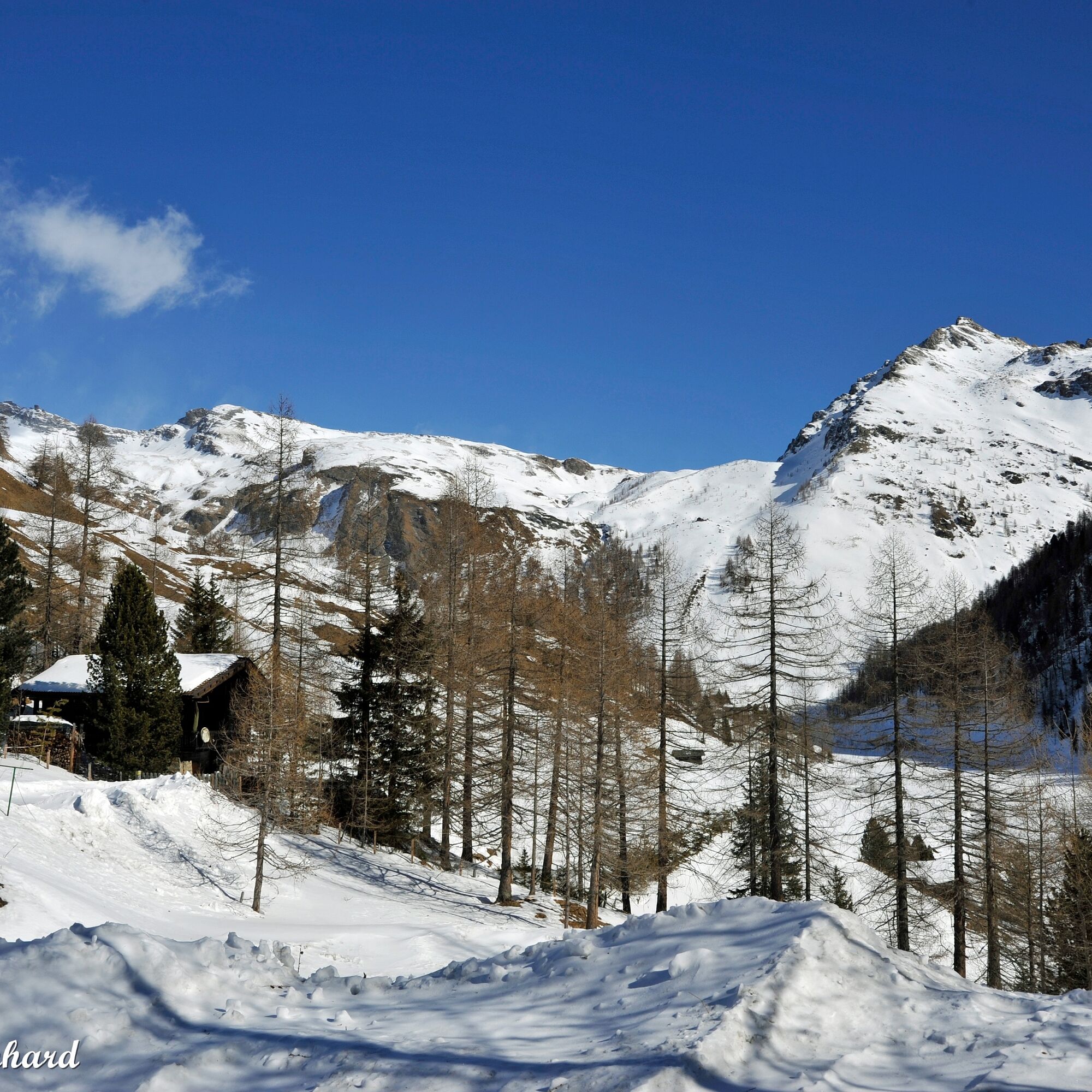
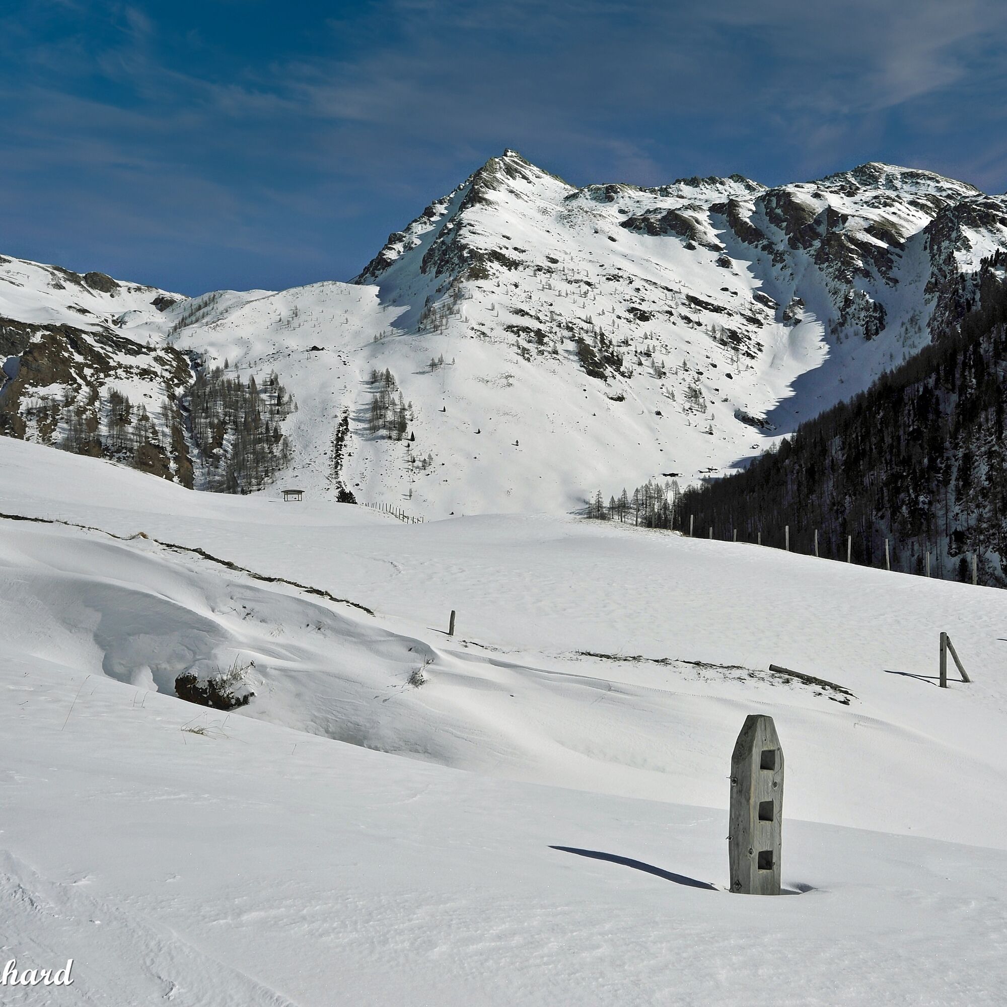
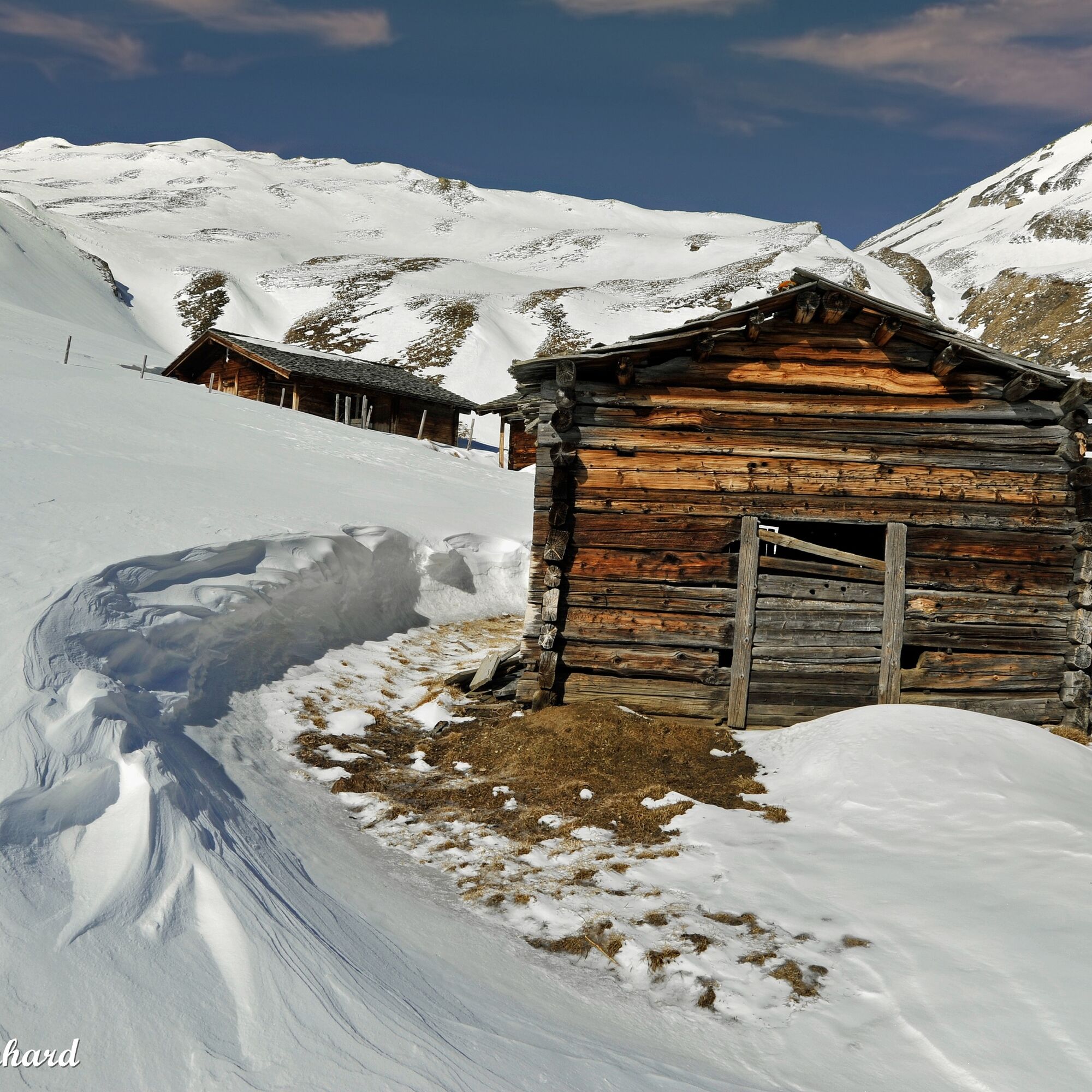
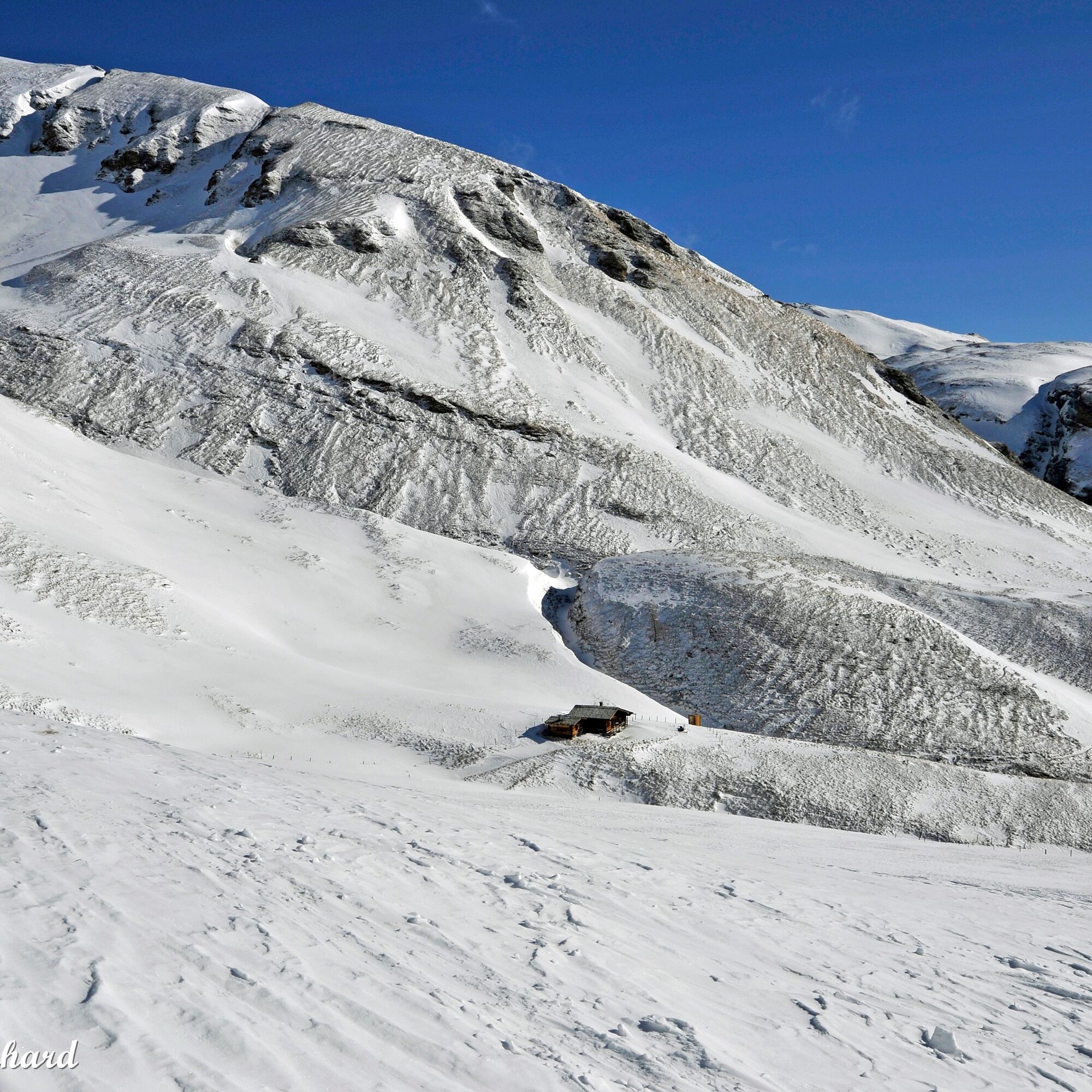
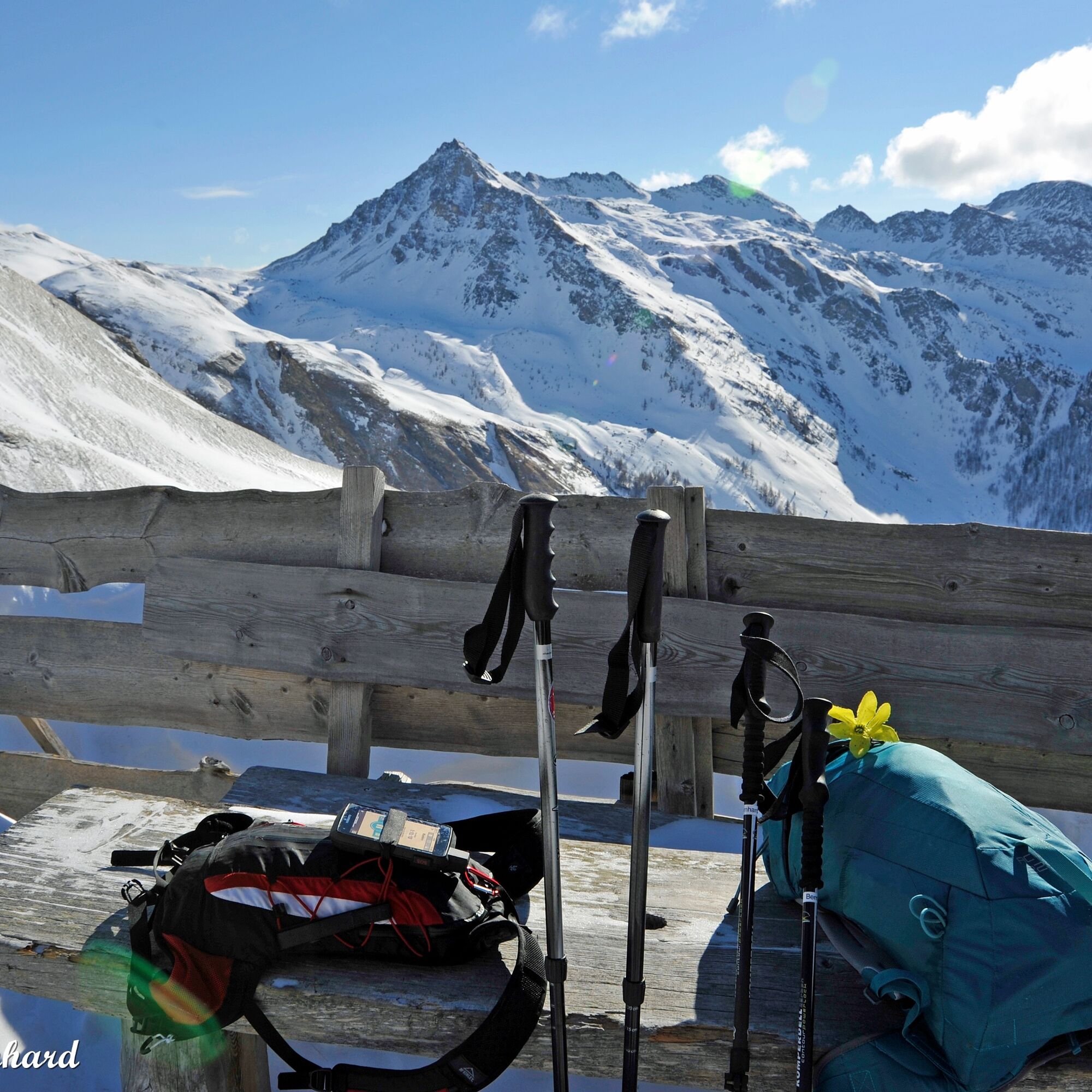
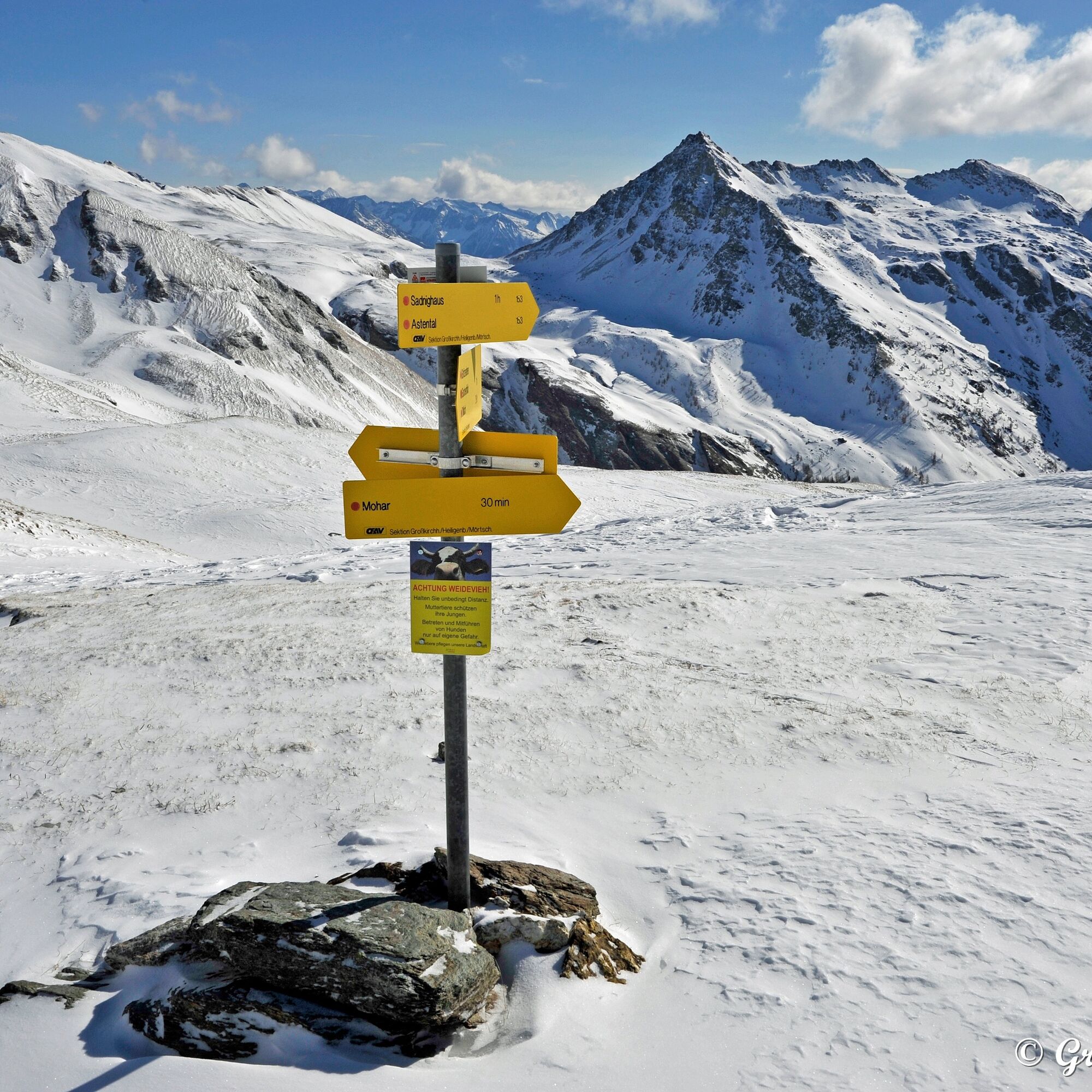

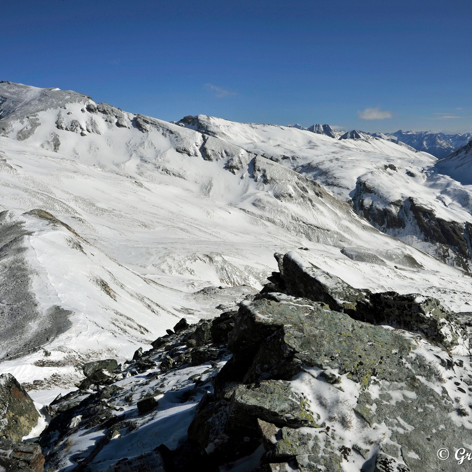

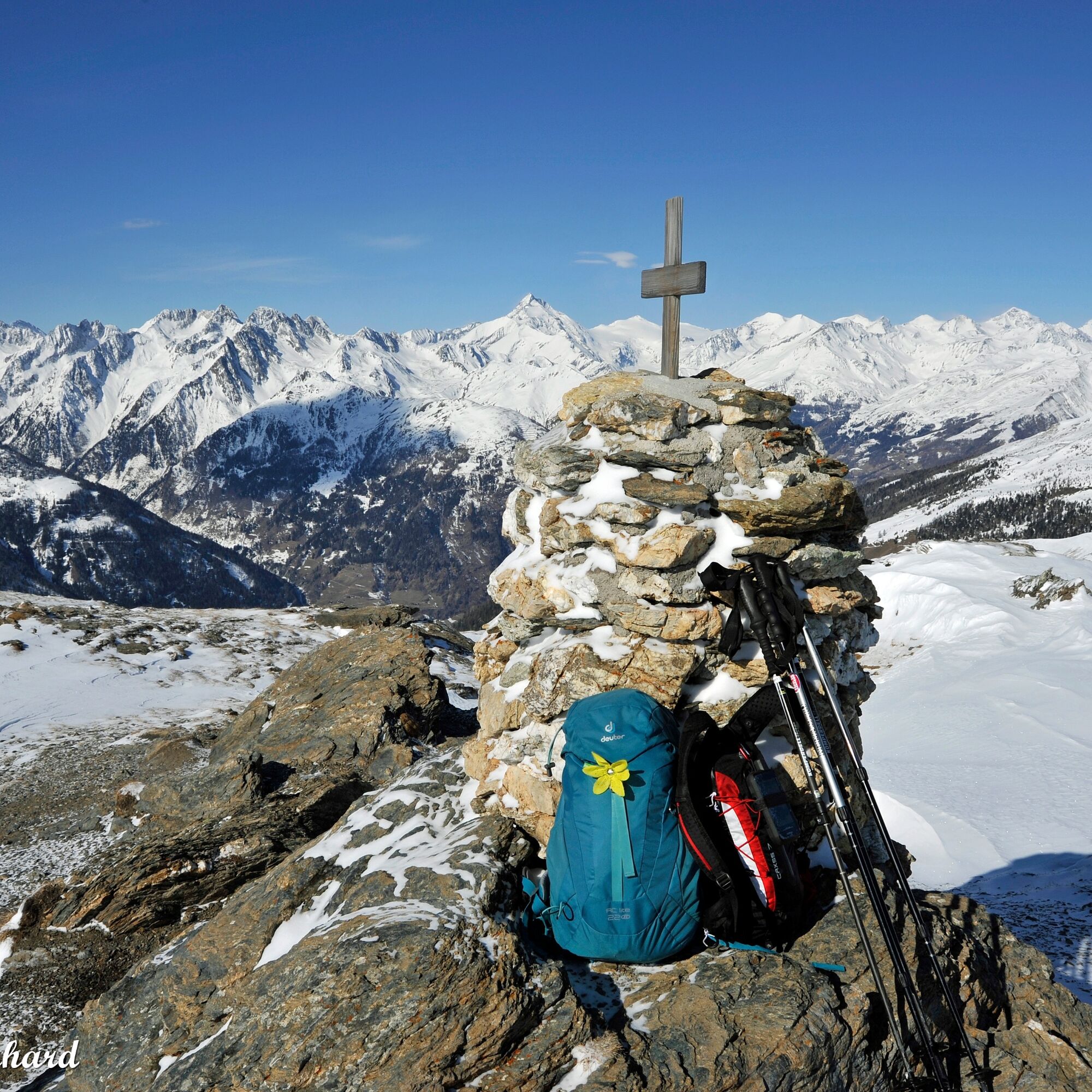
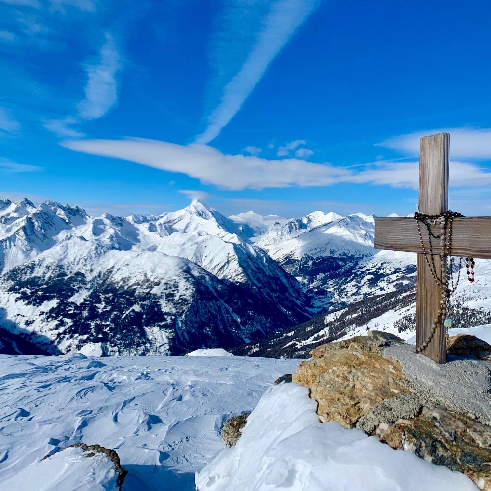
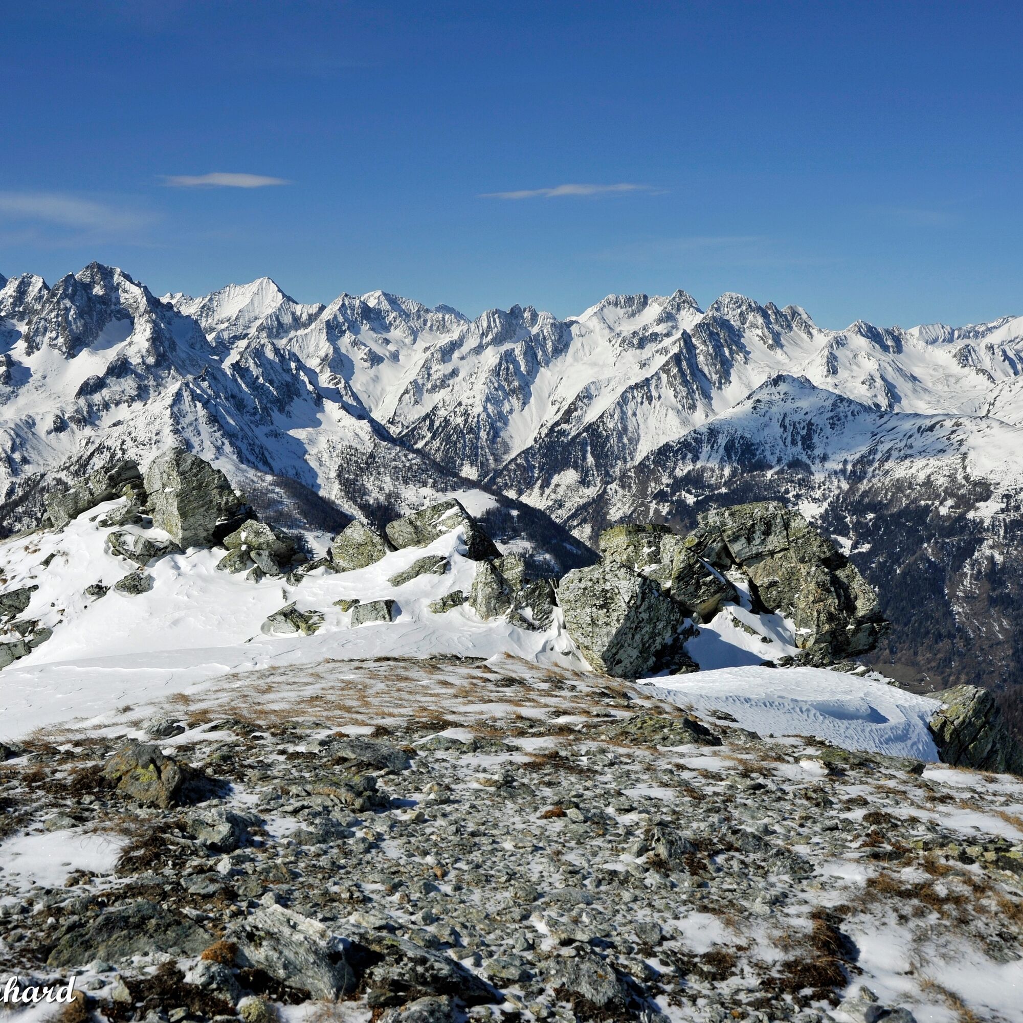

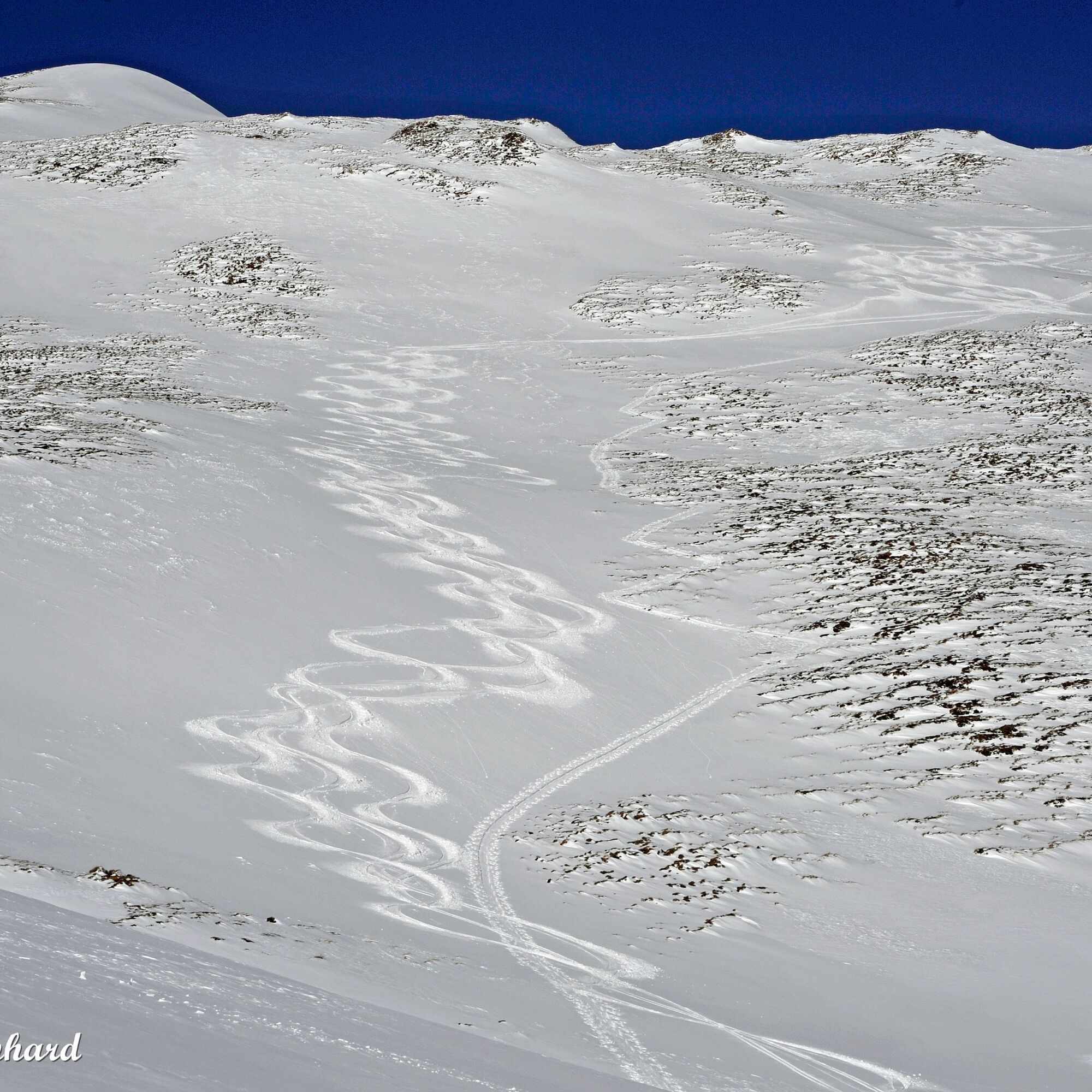
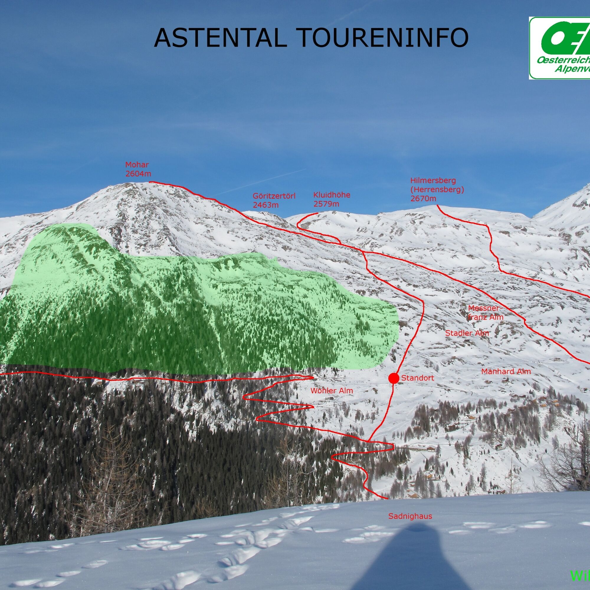

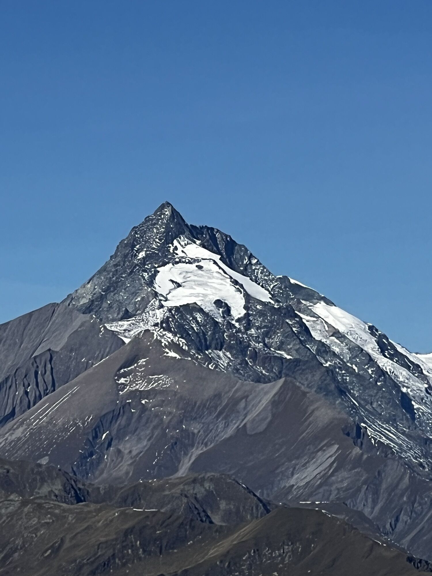
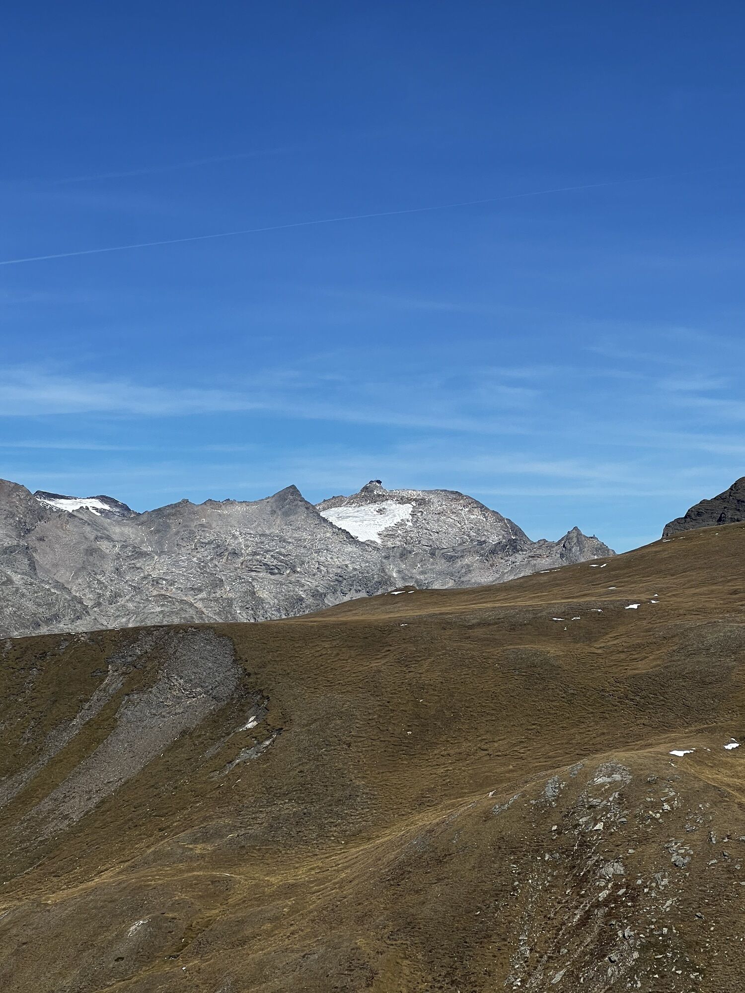
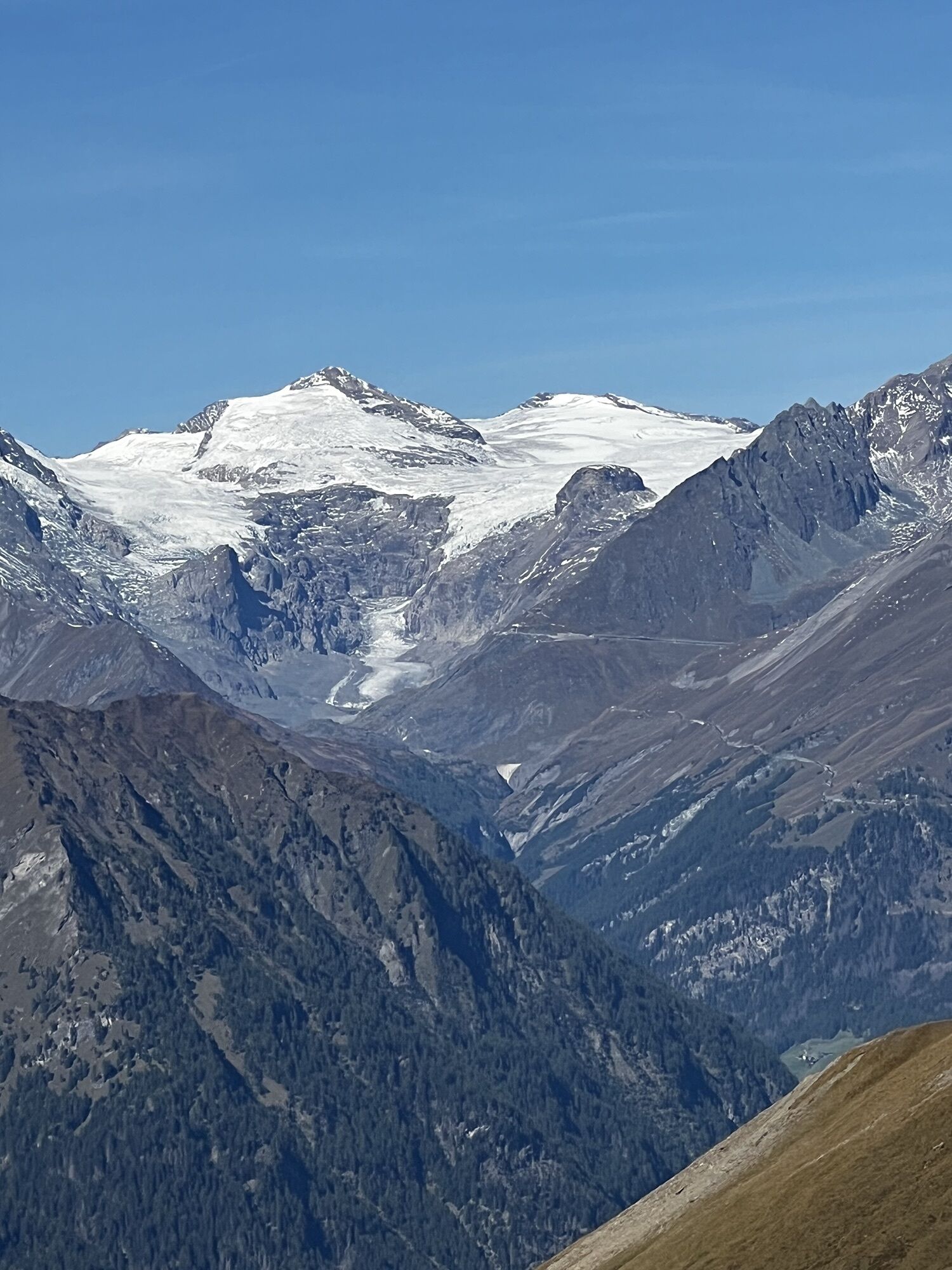
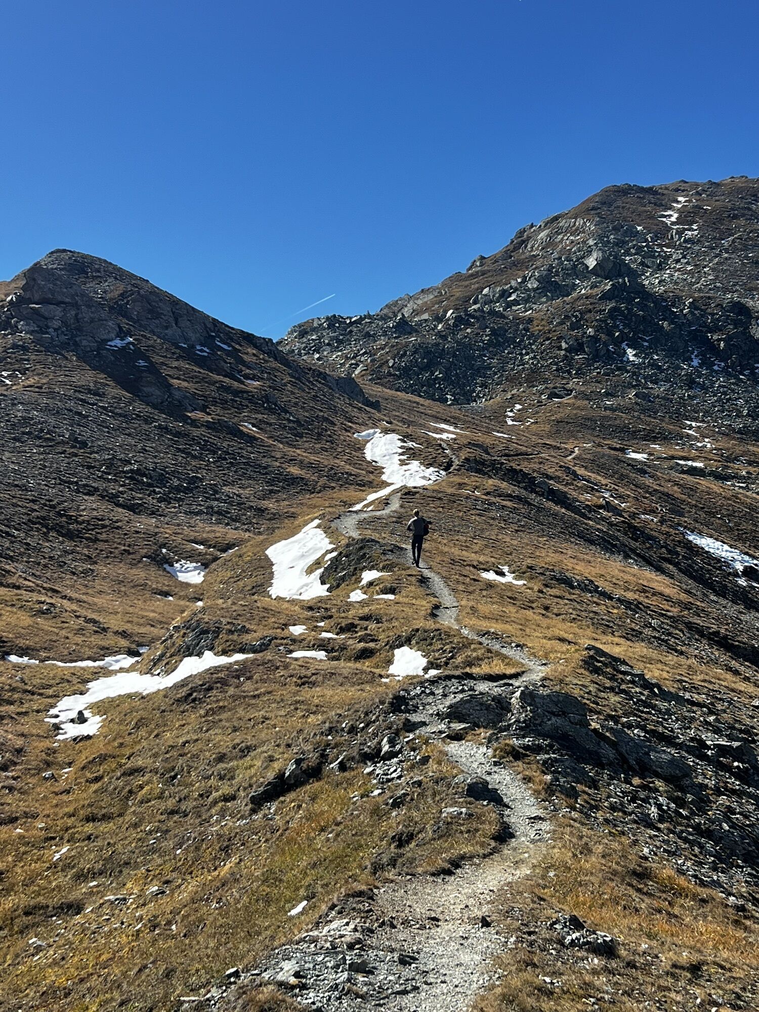
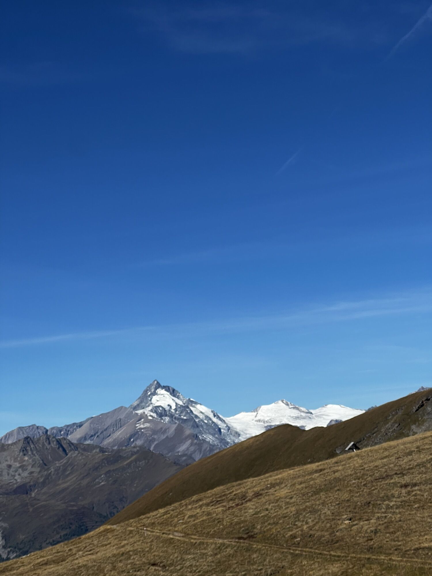
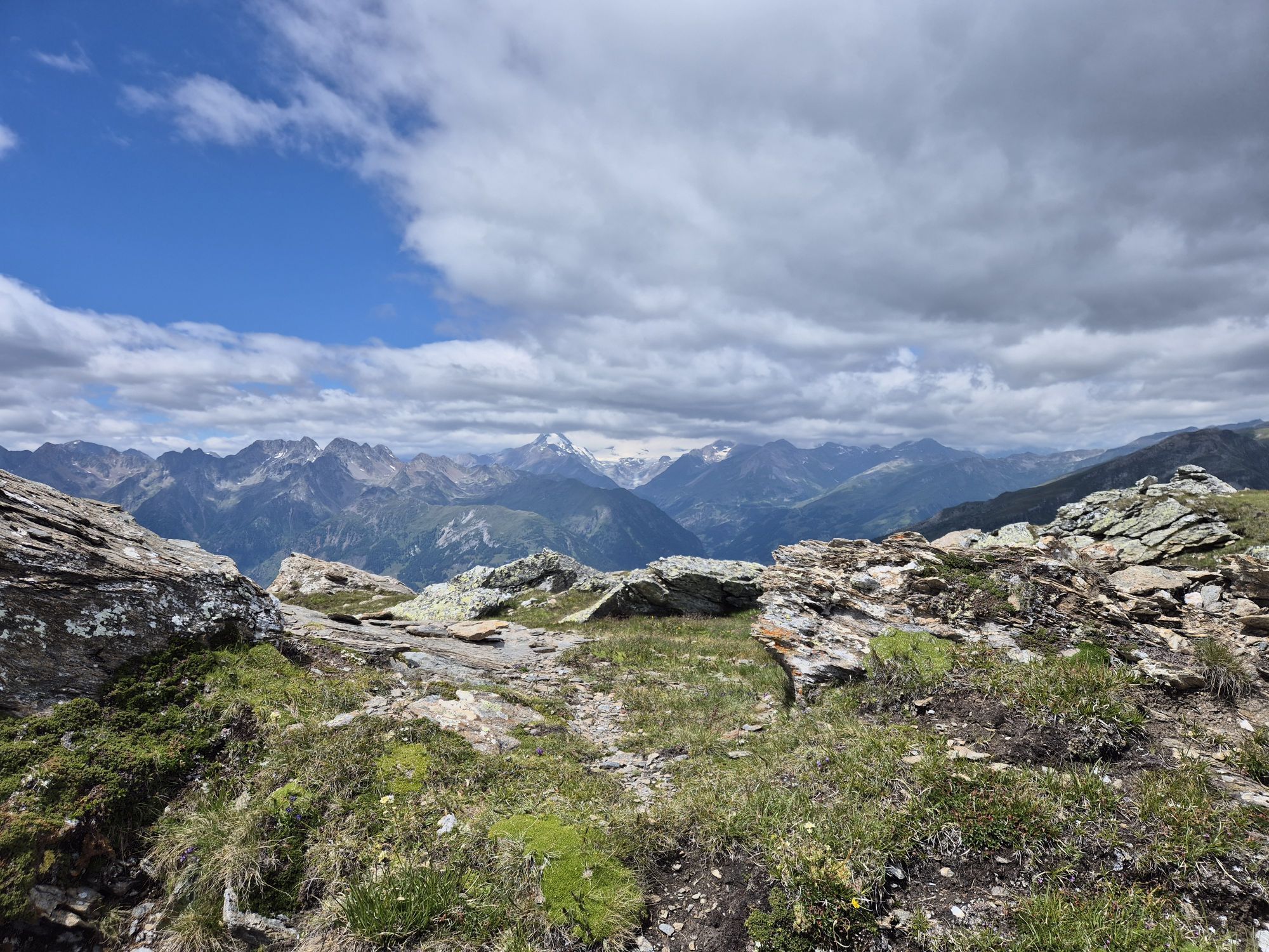
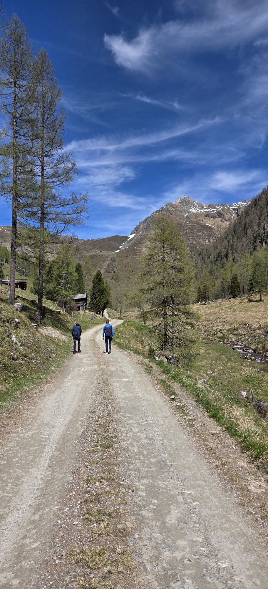
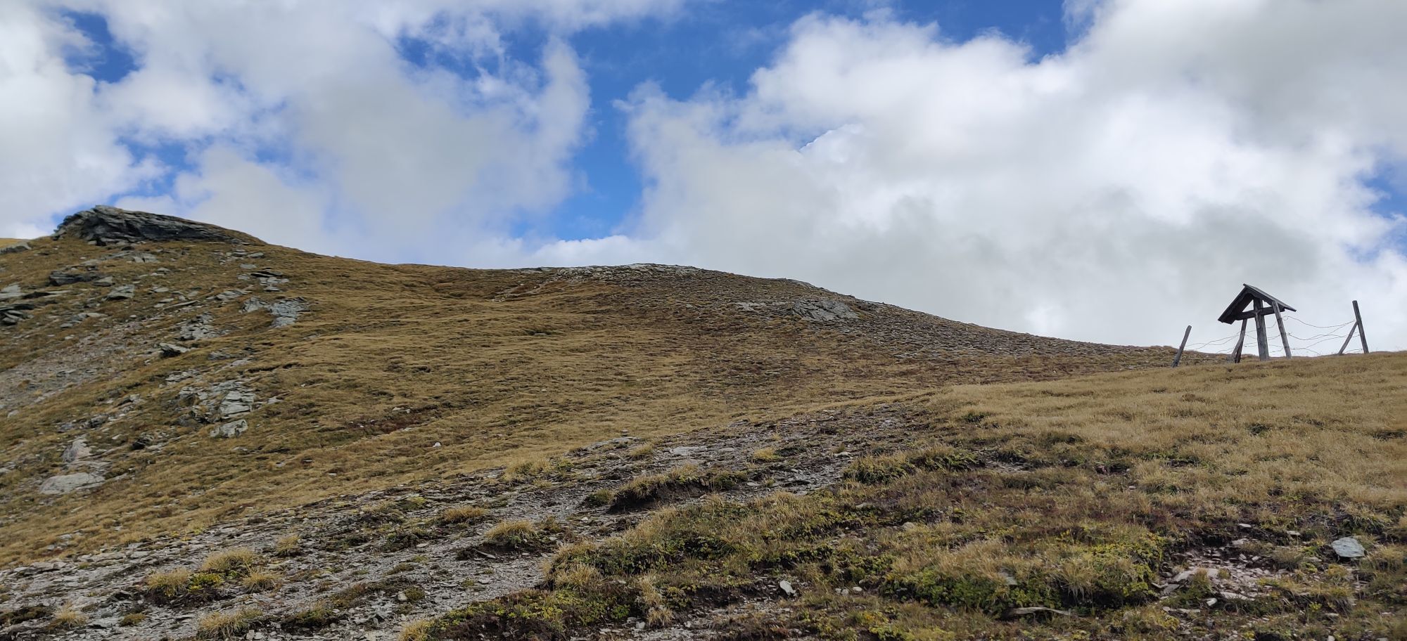
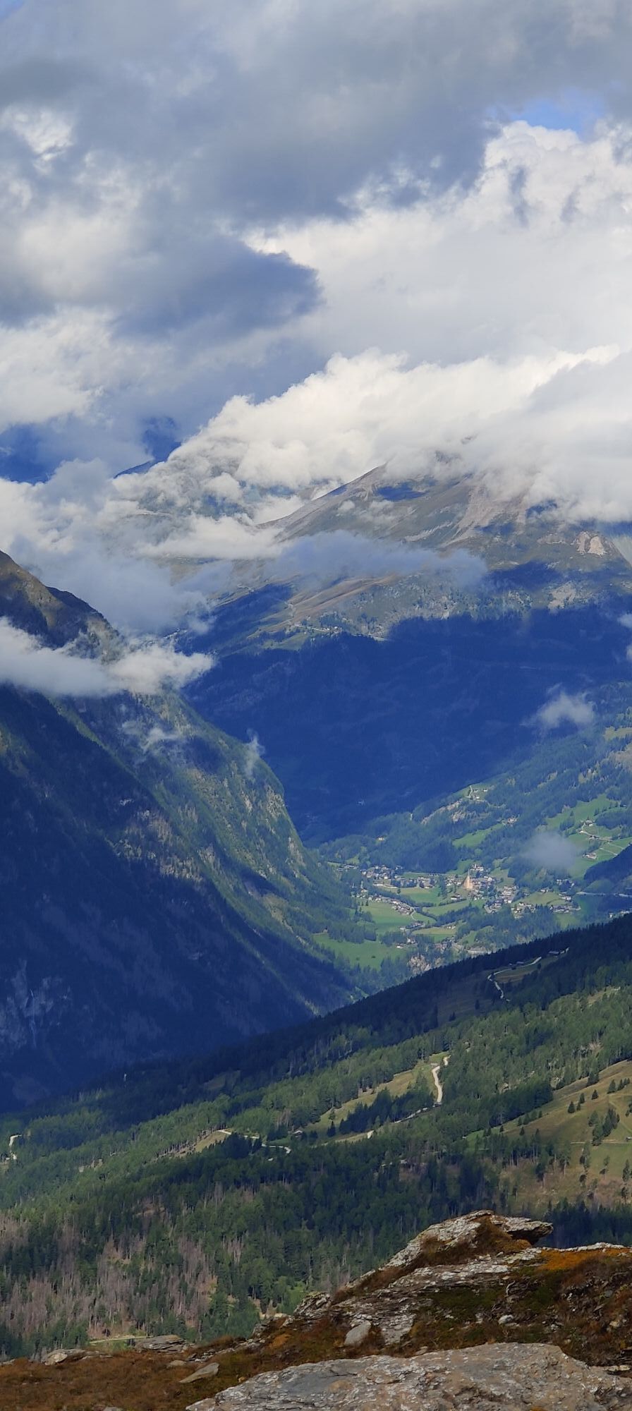
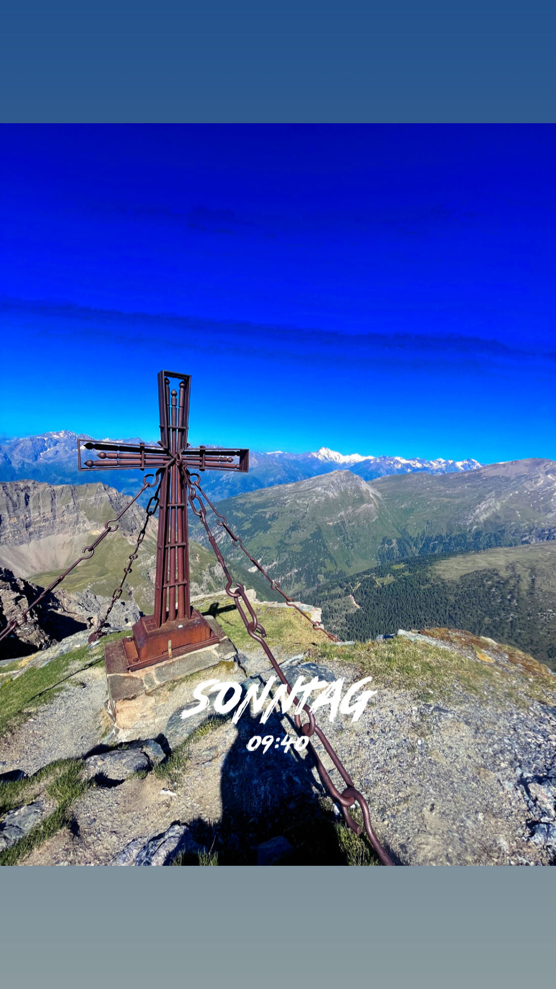
We start the ski route at the parking lot at the Sadnighaus (1,876m). First, head right along a path past beautiful alpine huts and after about 800 meters, leave this path and walk across the Astner Böden always keeping the summit of Mohar in sight, continuing upwards to the Göritzer Törl. If you continue about 200 m beyond the Törl, you have a wonderful view of the Grossglockner. The standard ascent is via the Göritzer Törl and should also be preferred under unfavorable conditions! At the Mohar summit, you are rewarded with a view of countless three-thousand-meter peaks.
Tak
Standard ski tour and avalanche transceiver equipment.
Caution in the slightly steeper north-facing summit area!
In uncertain conditions, it is recommended to only do the route up to the Göritzer Törl.
Via the B 107 - the Grossglockner federal highway - to Mörtschach. From Mörtschach, turn into the side street towards Asten. Drive along the approximately 10 km long road into the Asten valley, usually well cleared, to the Sadnighaus = this is also the end of the road.
Parking lot directly at the Sadnighaus.
Ski route info and suggestions from the Sadnighaus
Respect your limits! 5 rules for responsible ski touring:
Where available, stay on marked routes; pay close attention to signs as well as protected, conservation and restricted areas. Show consideration for wildlife: Avoid feeding areas and immediately and calmly withdraw if you spot an animal. Avoid young tree cultures (under three meters), ski edges can cause significant damage to trees. Do not leave any waste behind. Avoid noise.Important for ski tours: prohibition of driving on young forest and reforestation areas
WARNING: Pay close attention to the signs of protected, conservation, and restricted areas.
Tip: The Kluidhöhe (2579m), Hilmersberg (2670m), Stellkopf (2852m), Magerni-Spitze (2640m), and other peaks are also accessible from the Sadnighaus.


Popularne wycieczki w okolicy
-
4,9
Wangennitzsee Hütte
średniWędrówka 3,80 km -
5,0
Silberpfennig, Salzburger Land/Österreich
średniWędrówka 13,8 km -
4,9
Astental: Mohar, Moharkreuz
średniWędrówka 9 km -
4,8
Hohe Sonnblick Up
ciężkiWędrówka 9,14 km -
4,8
Rifflscharte - Kolmkarscharte - Bockhartscharte - Sportgastein
średniWędrówka 13,5 km -
4,9
Schareck über Ostgrat
ciężkiWycieczka wysokogórska 13,3 km -
4,0
Raggaschlucht
średniWędrówka 3,44 km -
4,5
Niedersachsenhaus
średniWędrówka 4,84 km -
4,8
Vorderer Geißelkopf
średniWycieczka wysokogórska 19,1 km -
4,9
Access to Hagener hut from Jamnigalm
średniWędrówka 11,4 km

Wędrówki i tropienie


Nie przegap ofert i inspiracji na następne wakacje
Twój adres e-mail została dodana do listy mailingowej.





