



Wöllaner Nock

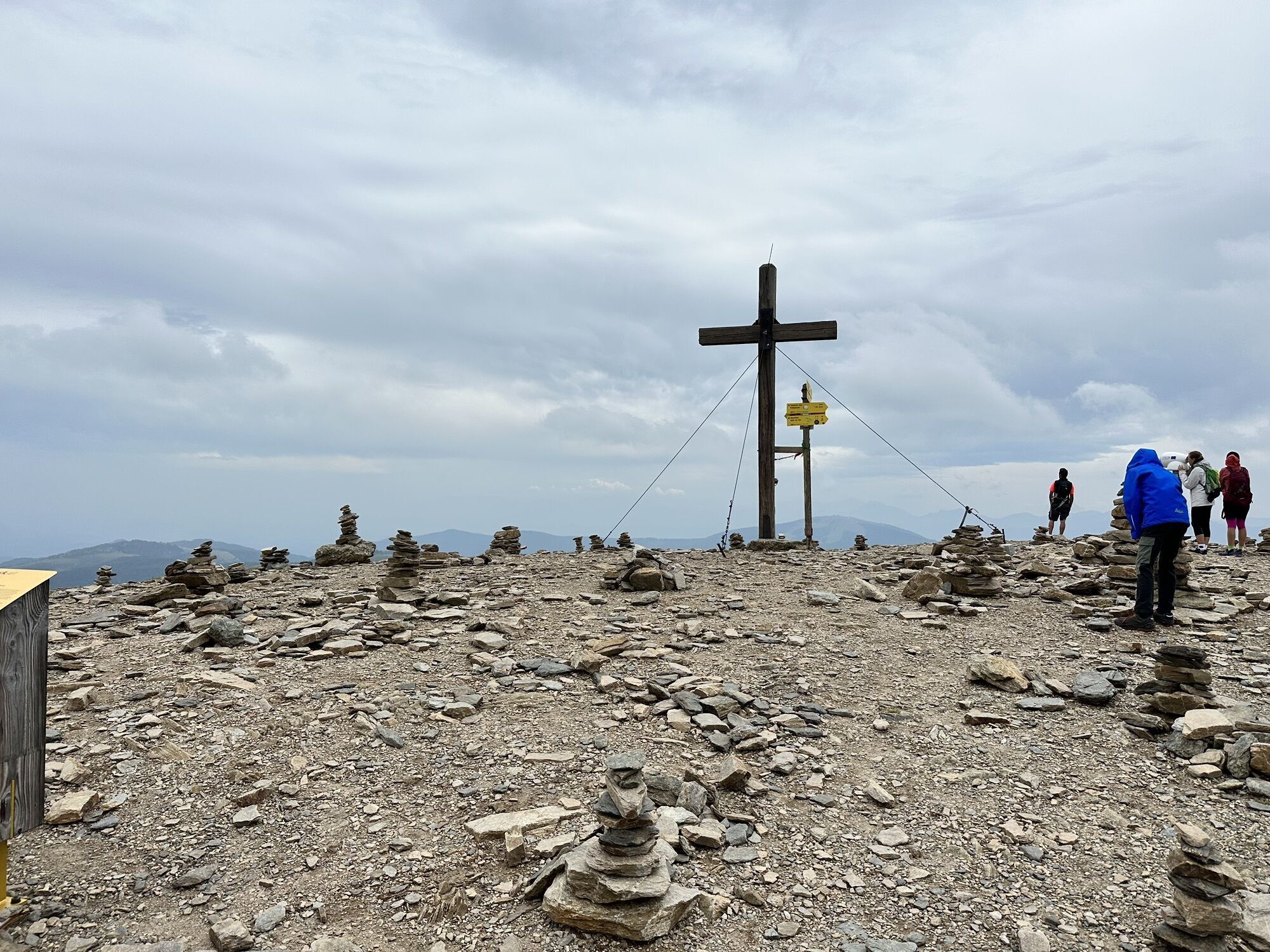
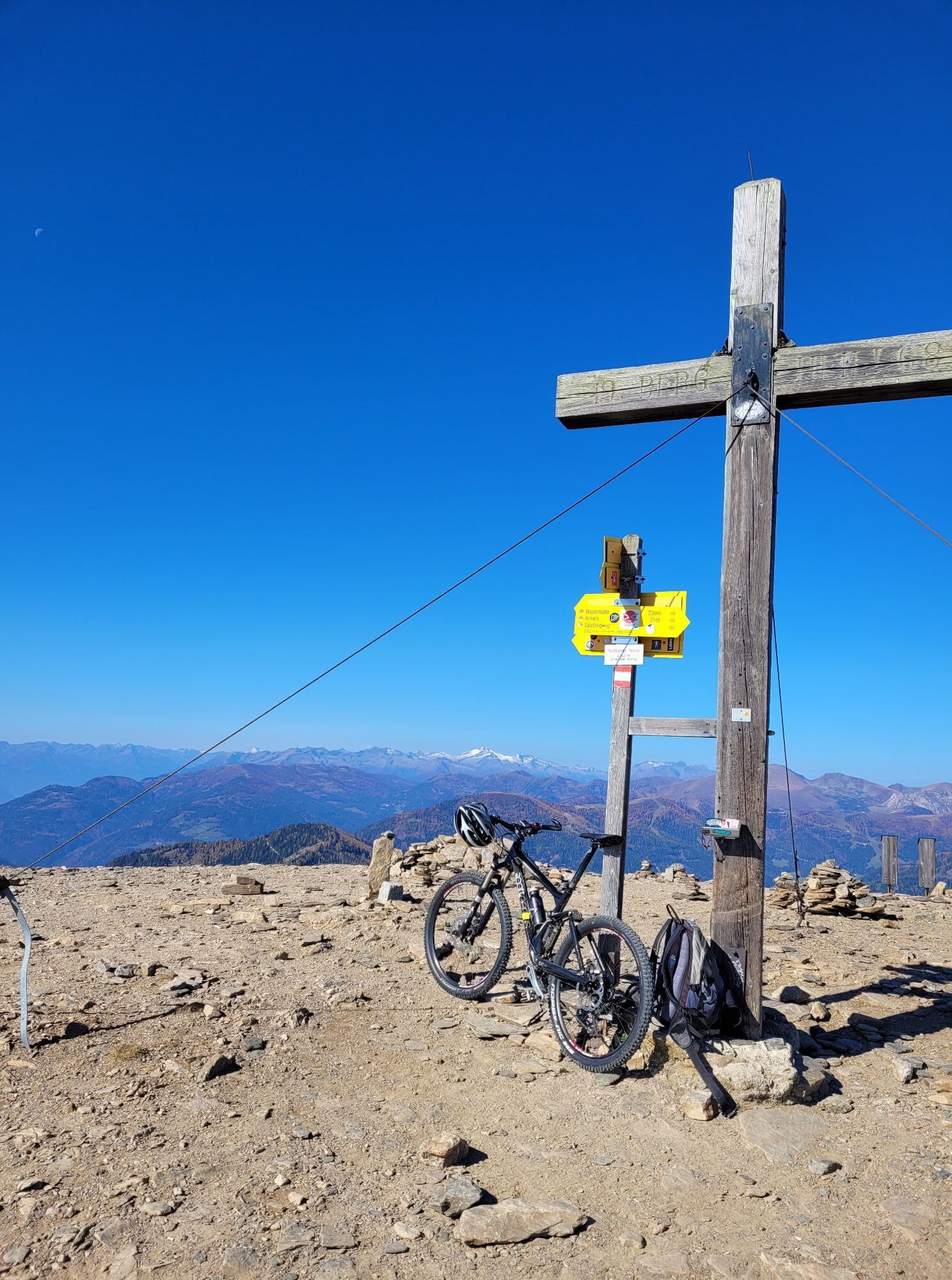
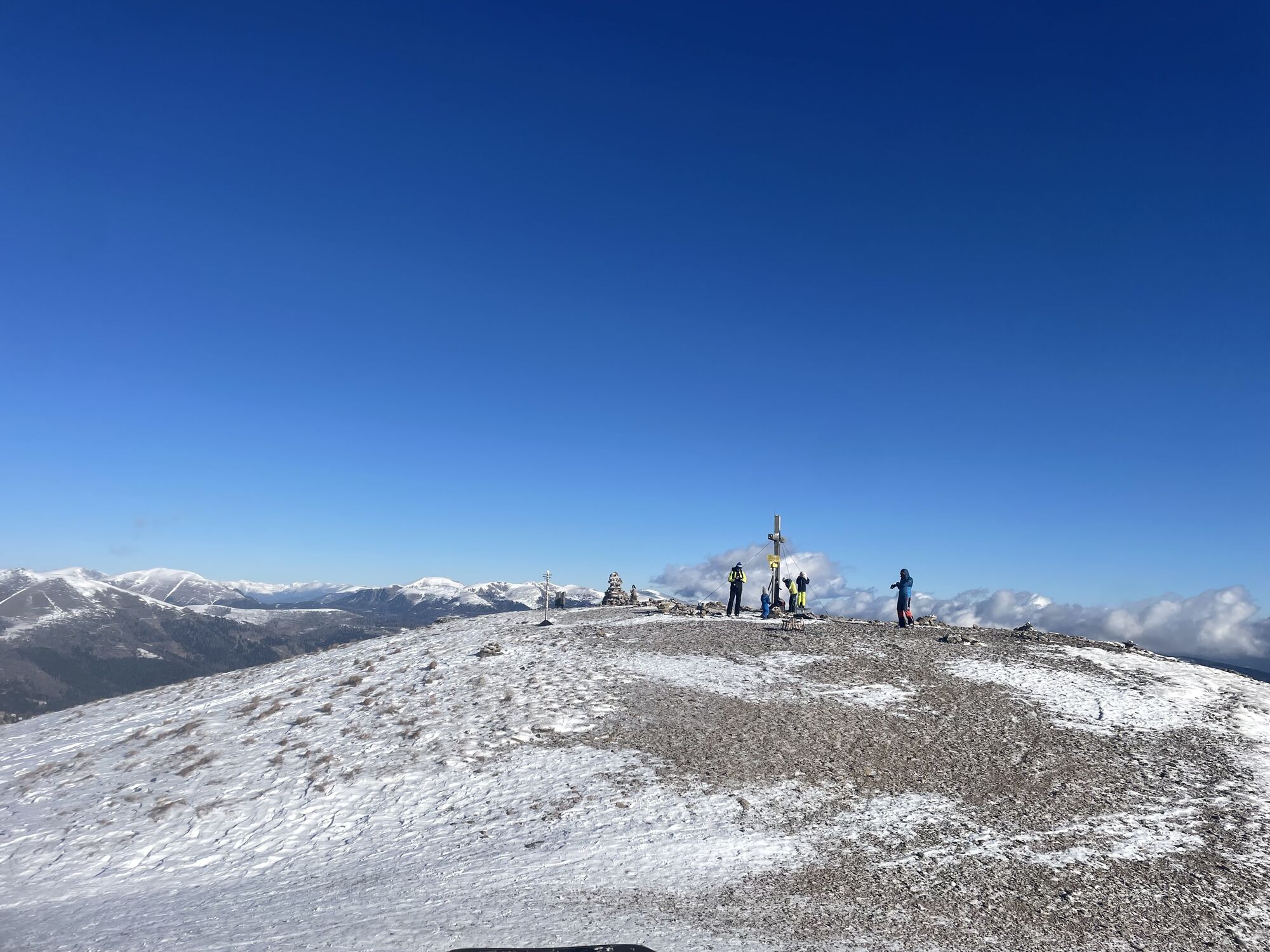
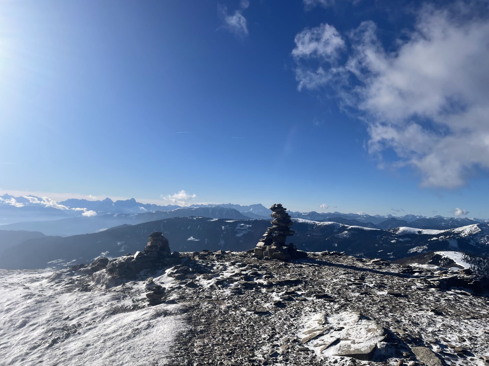
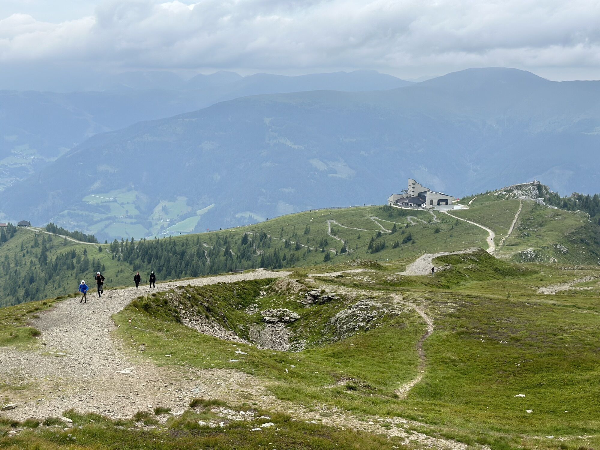
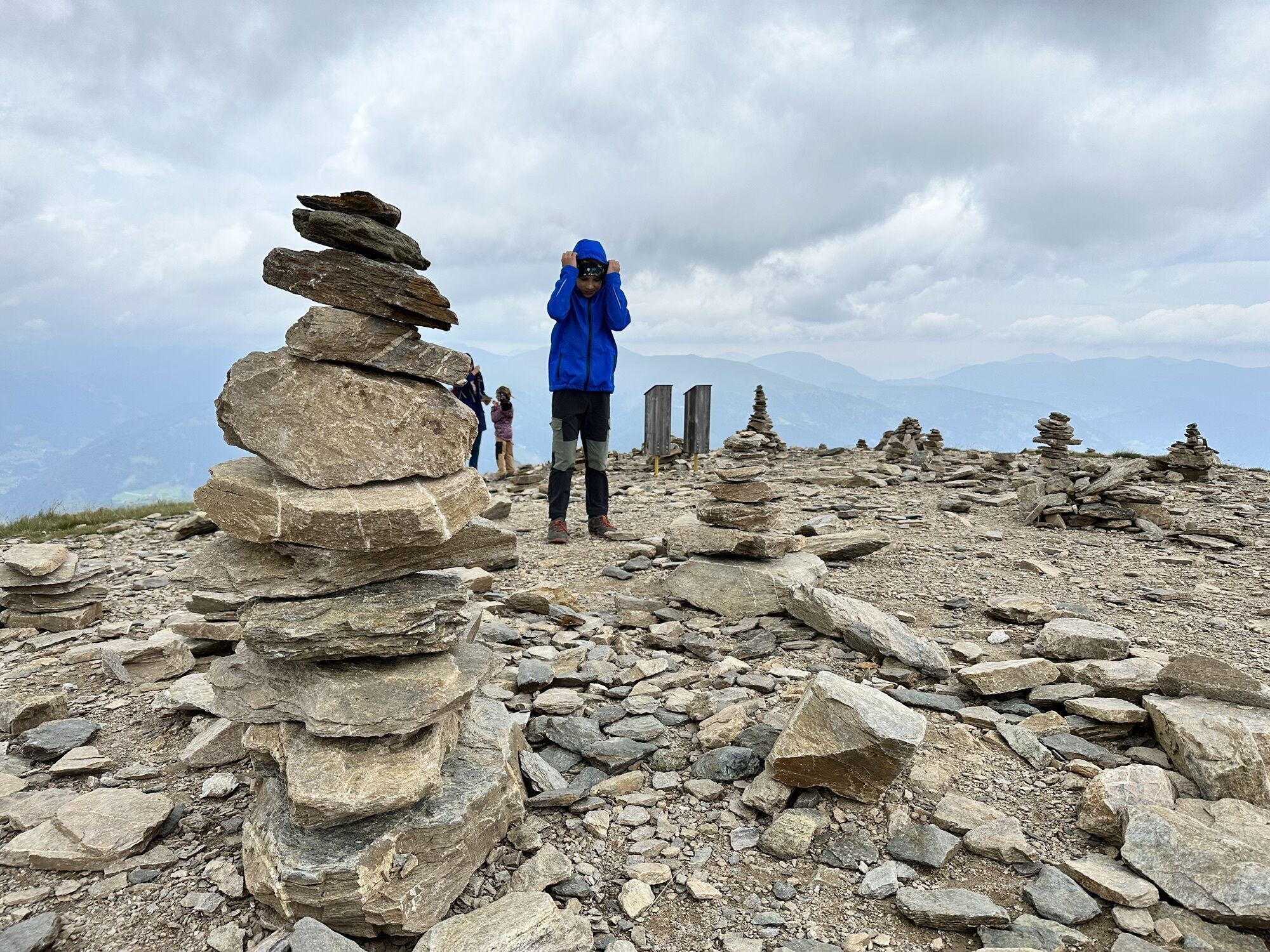
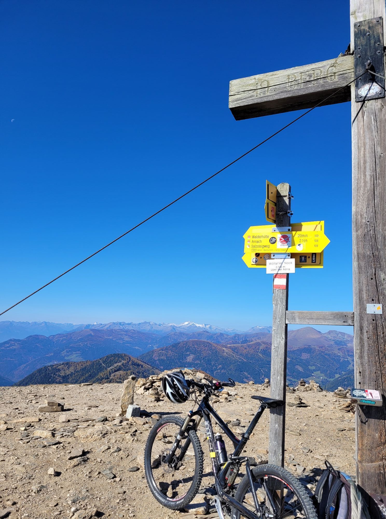
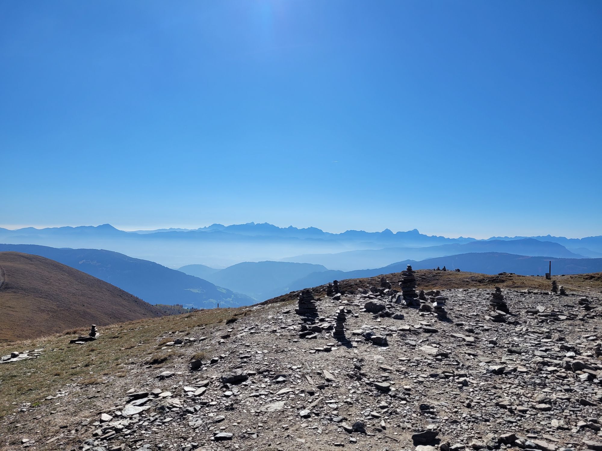
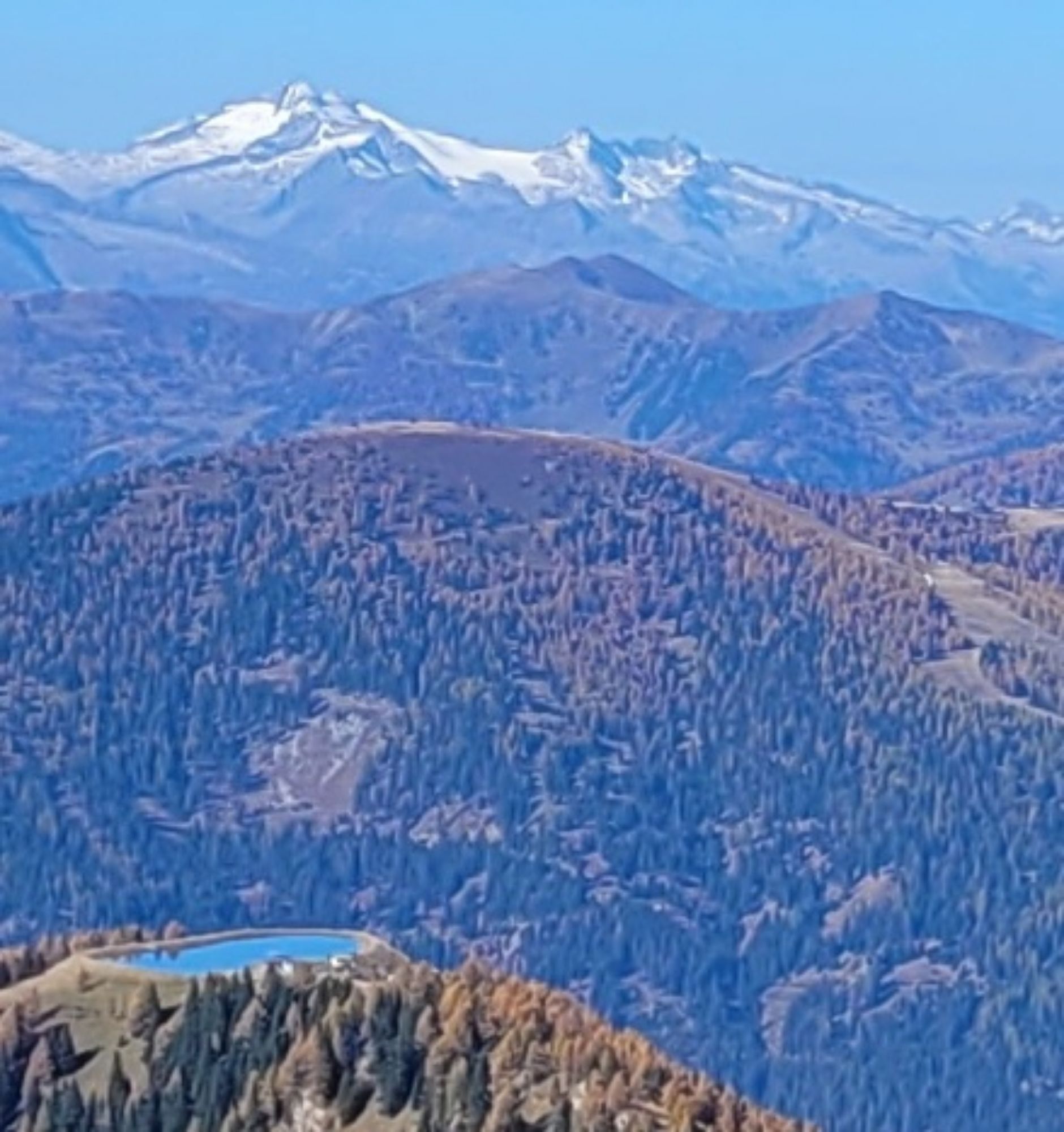
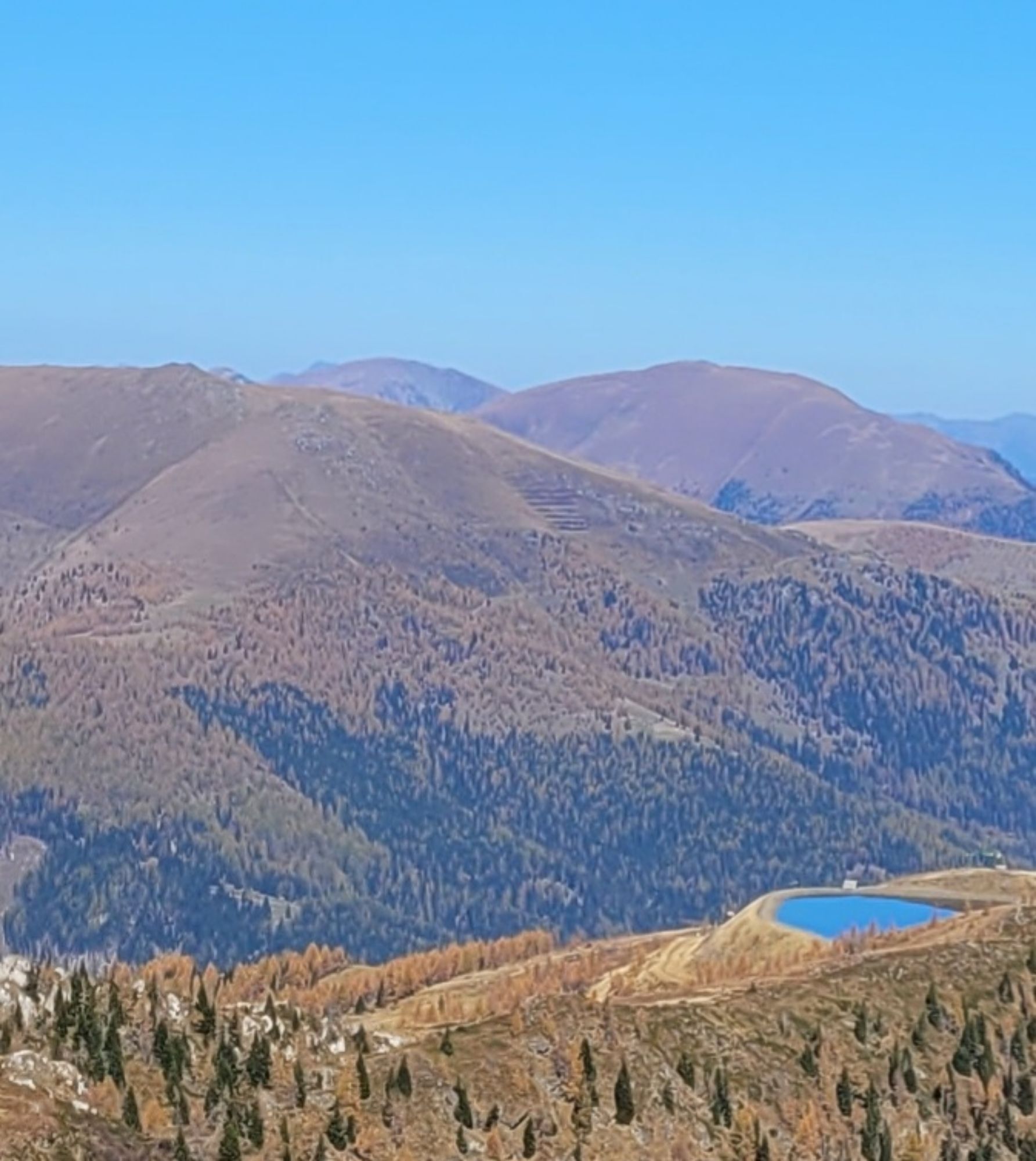
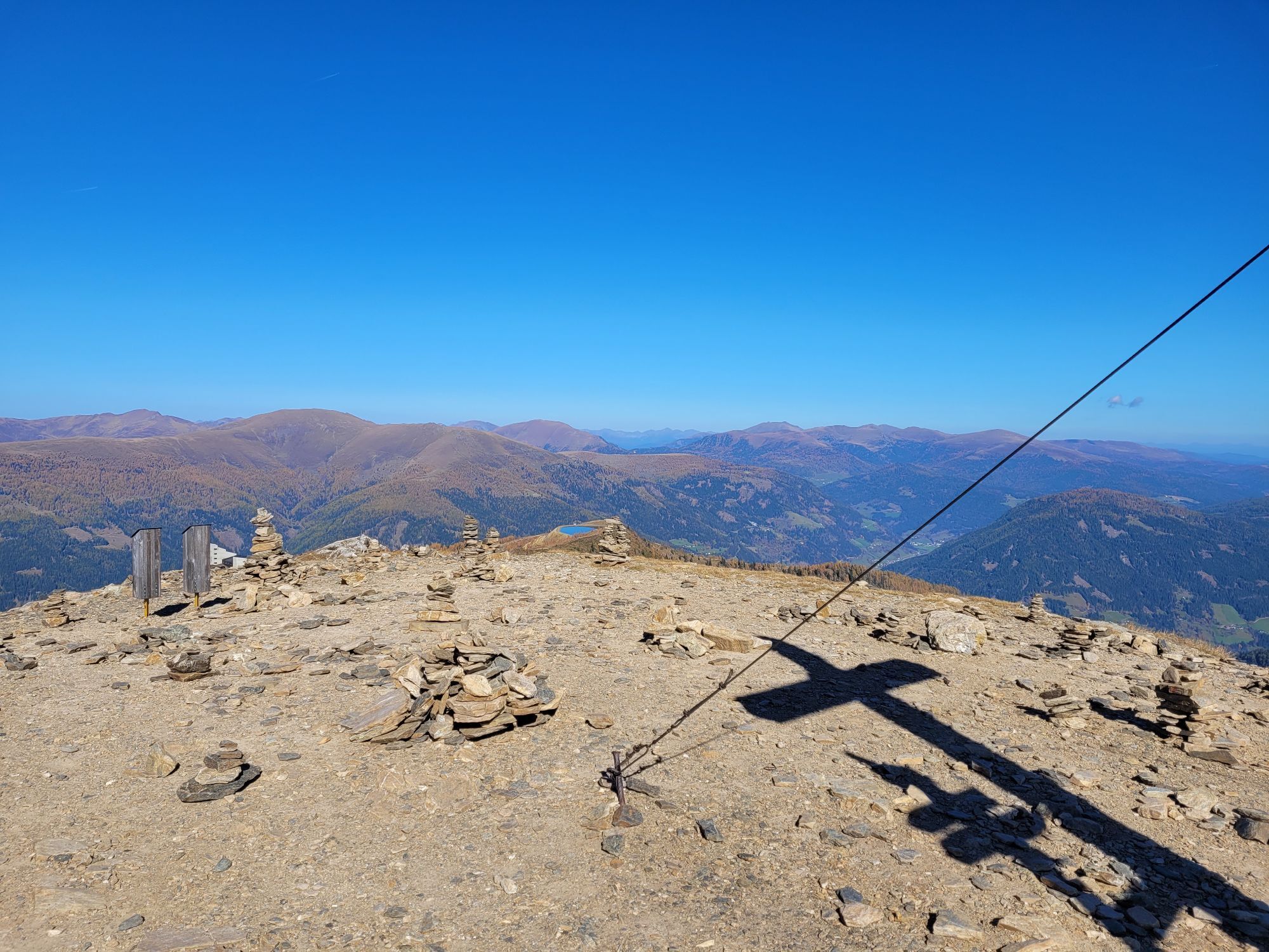
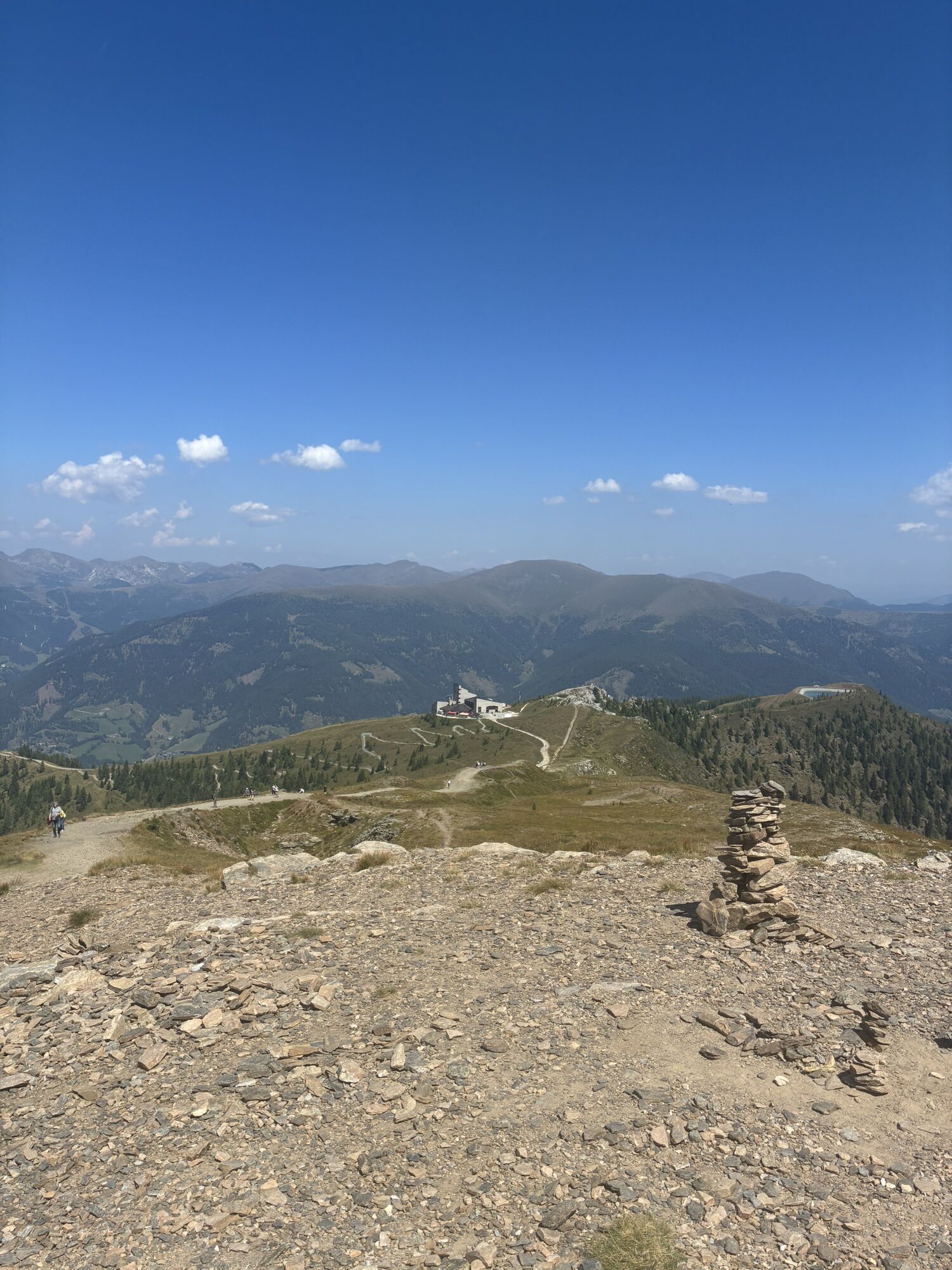
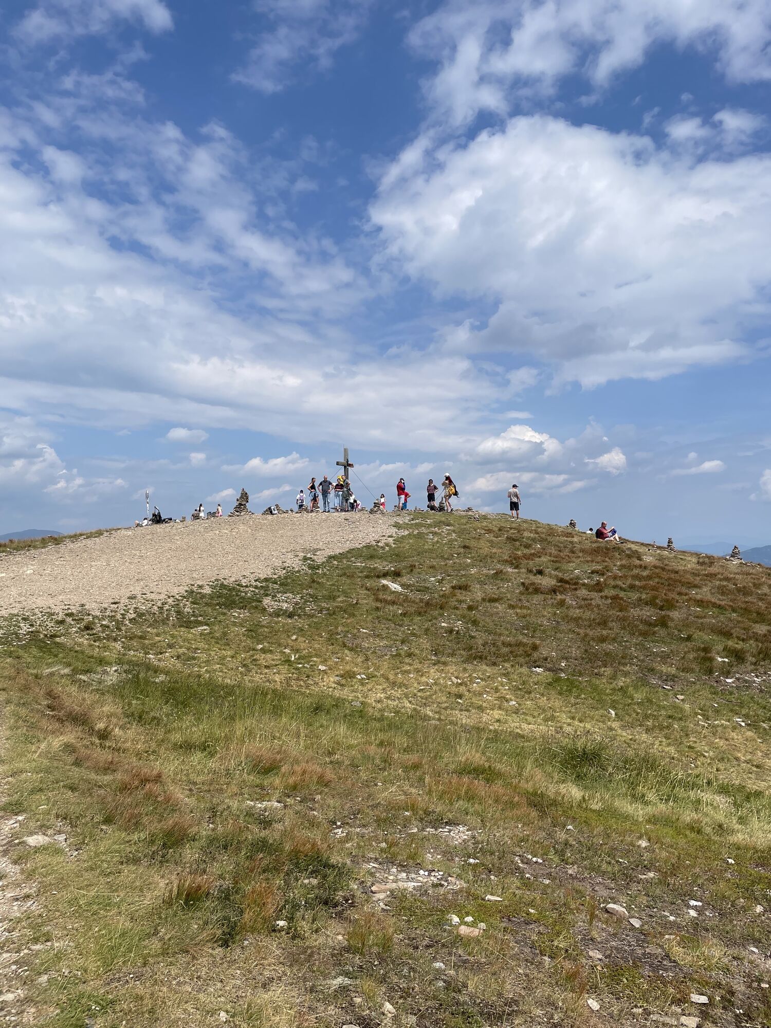
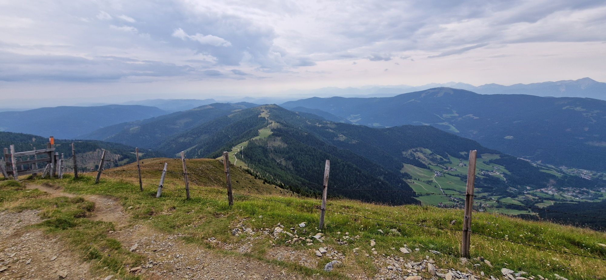
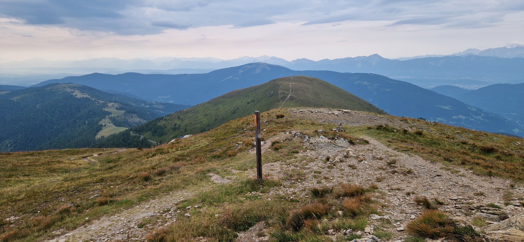
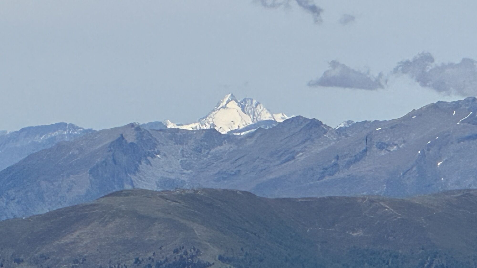
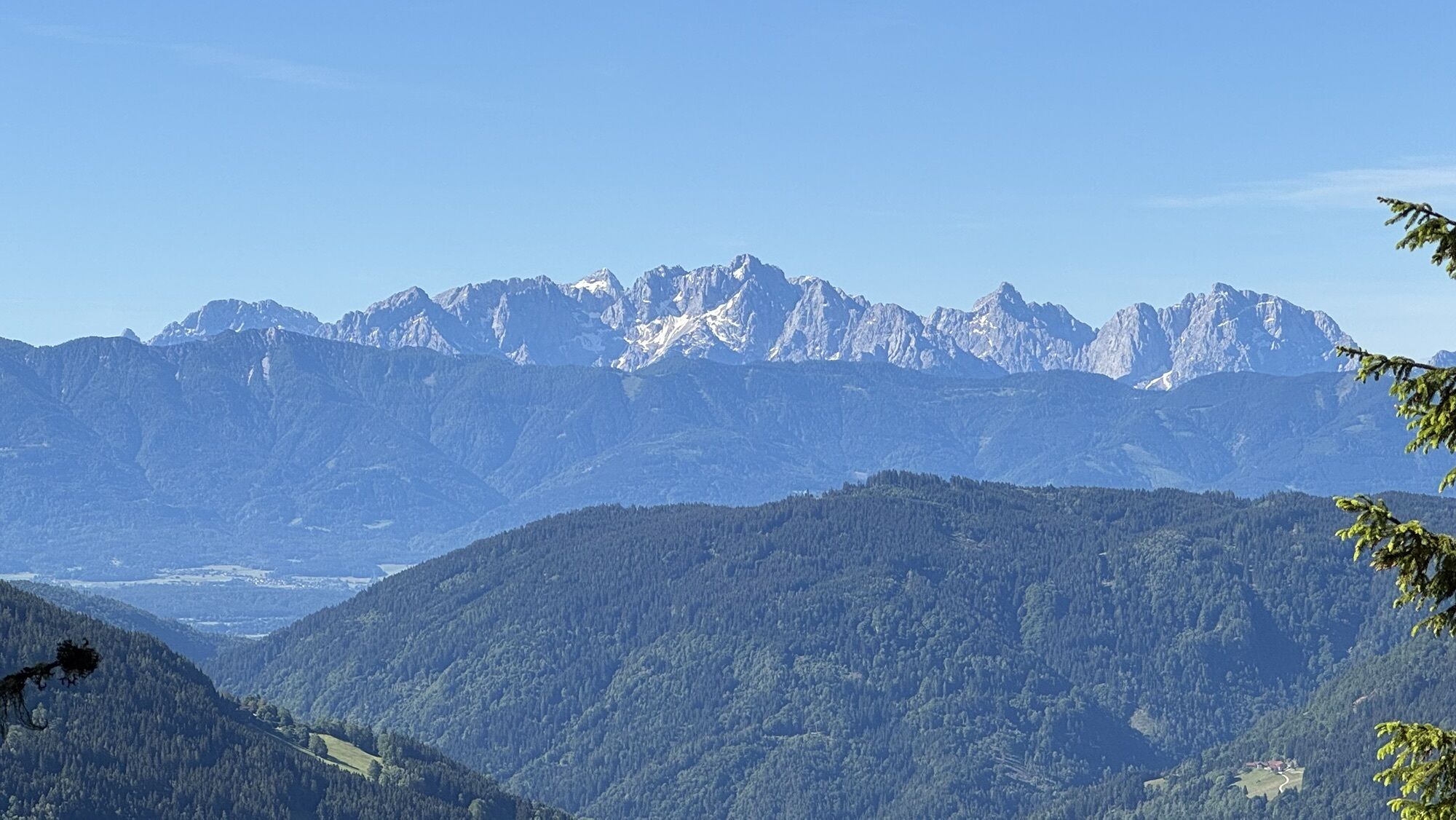
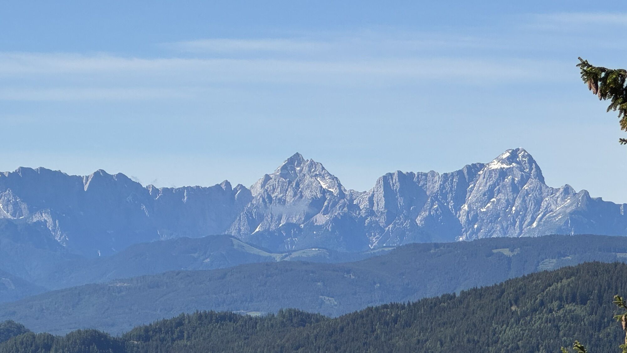
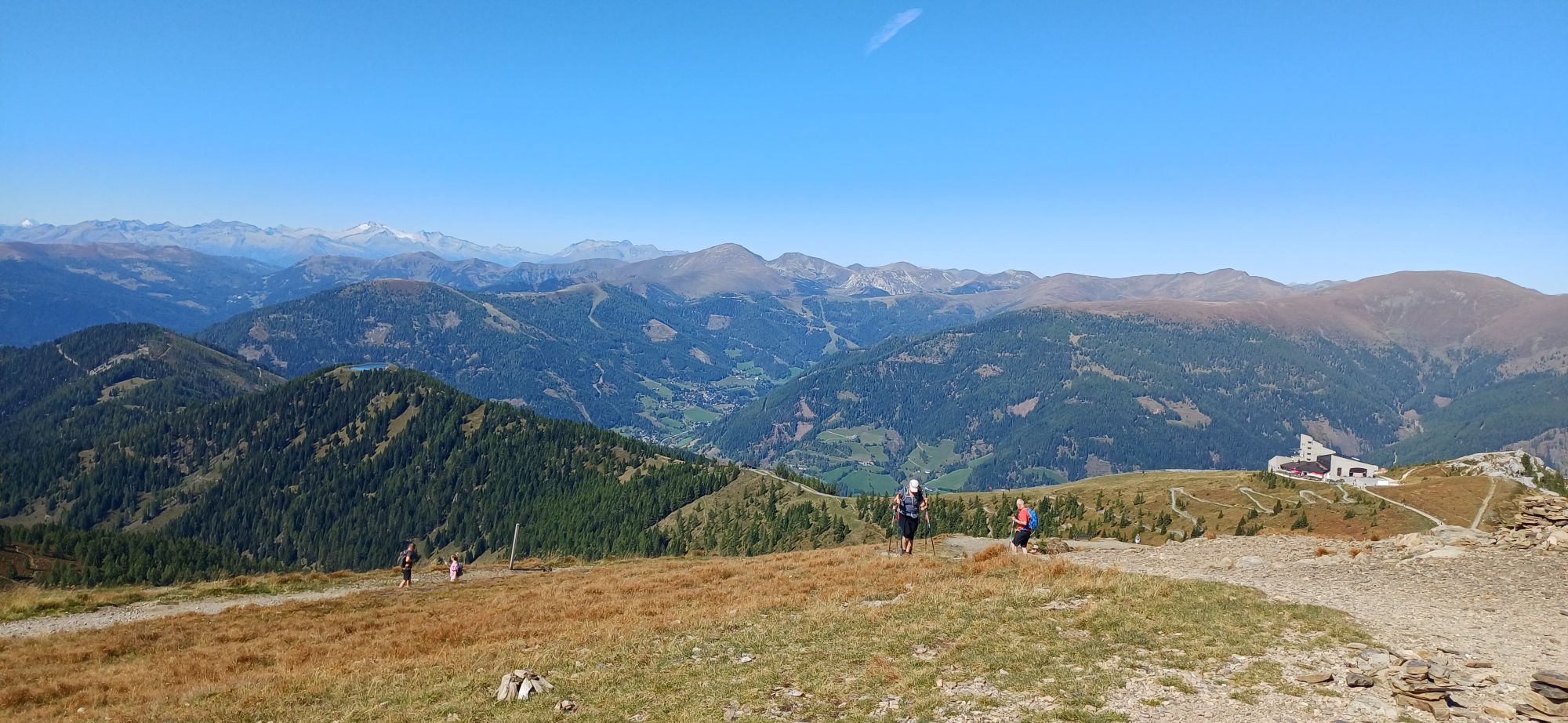
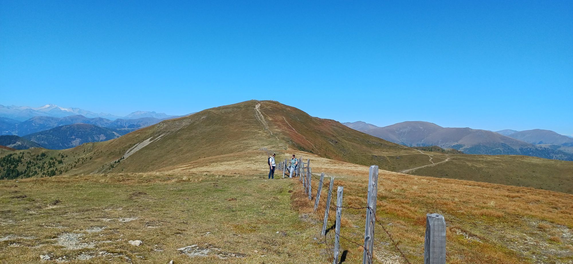
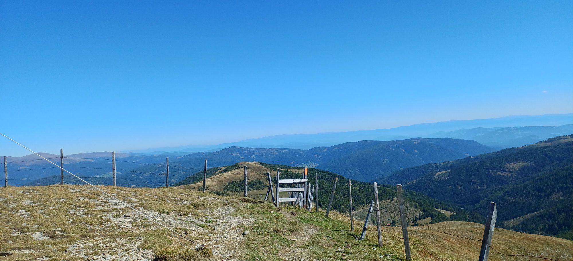

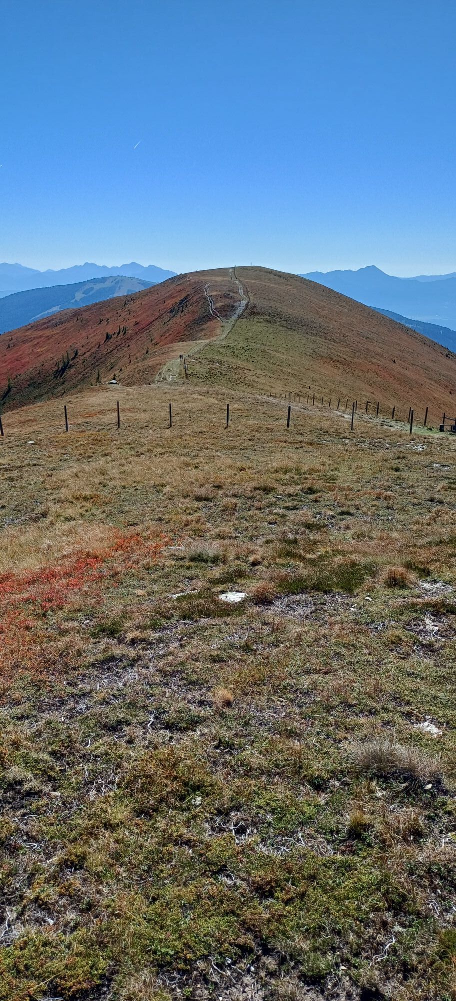
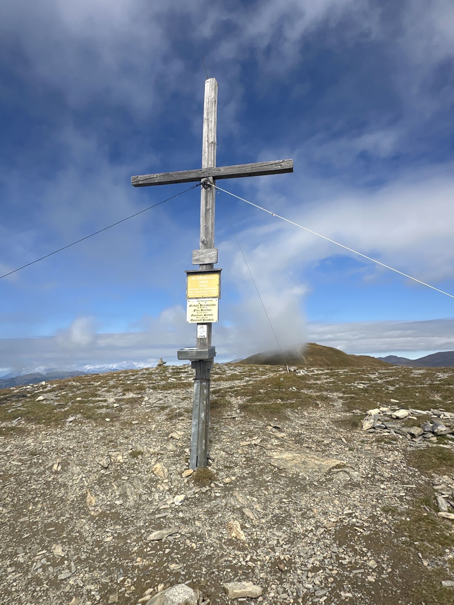
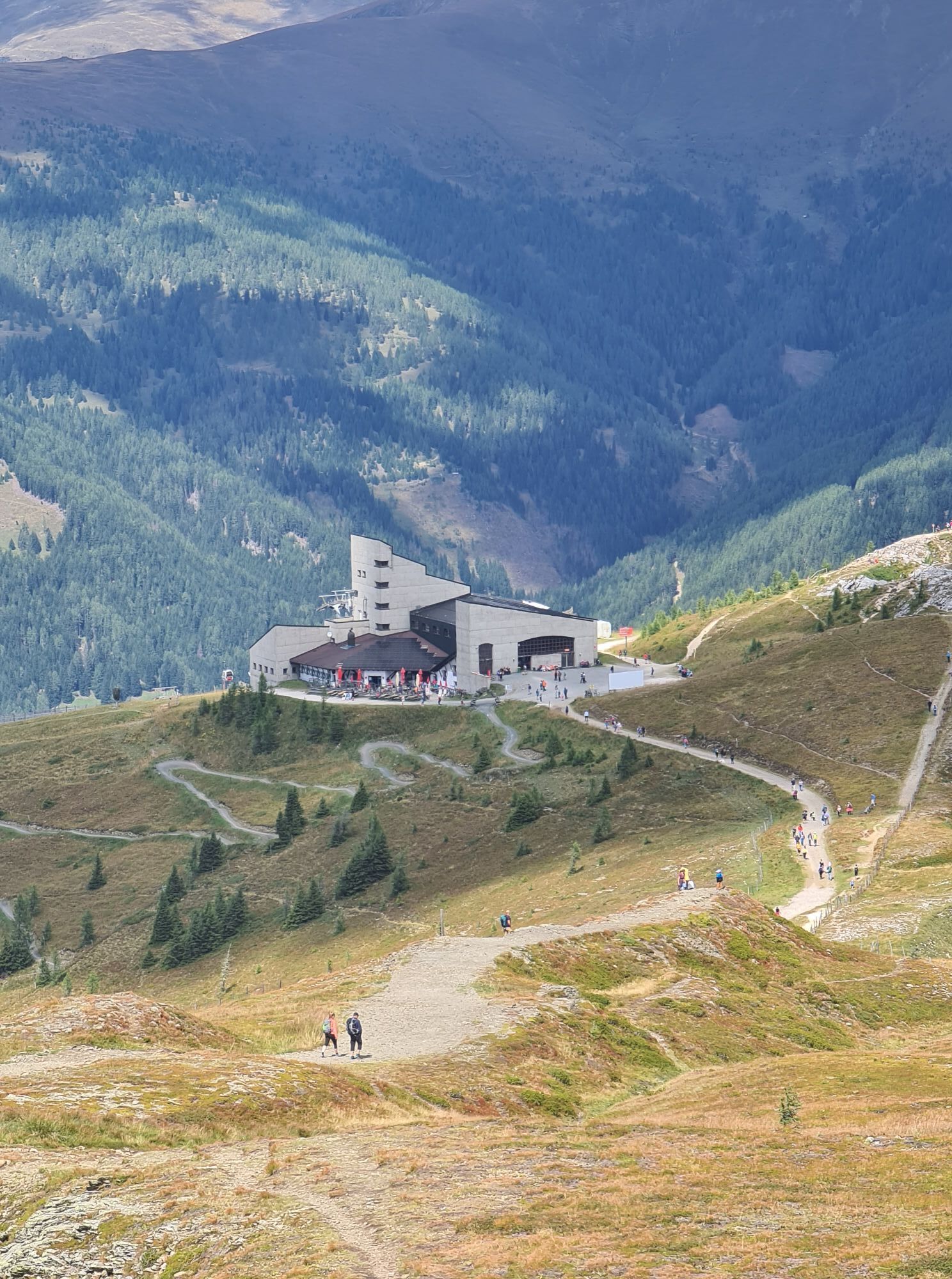
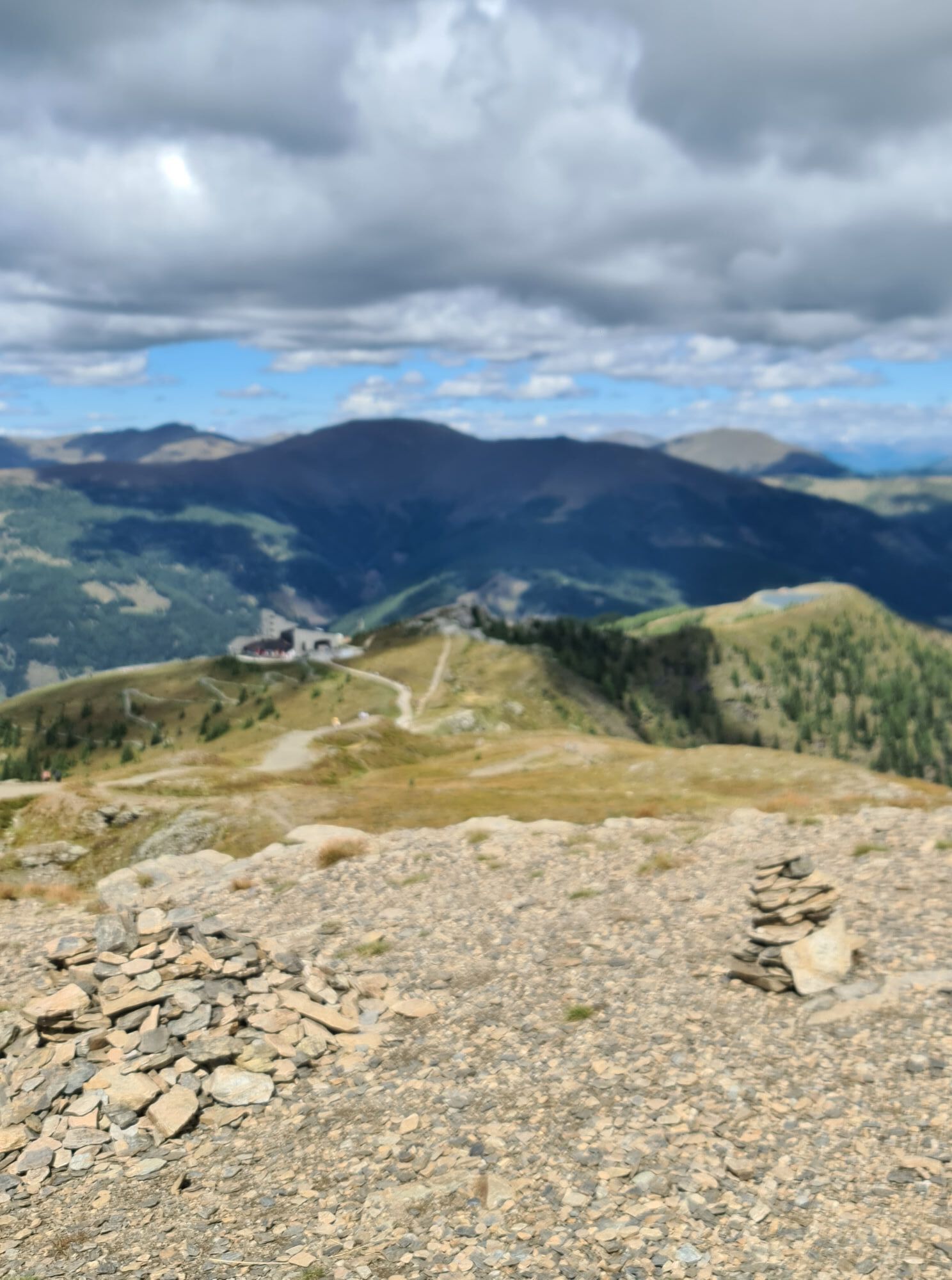
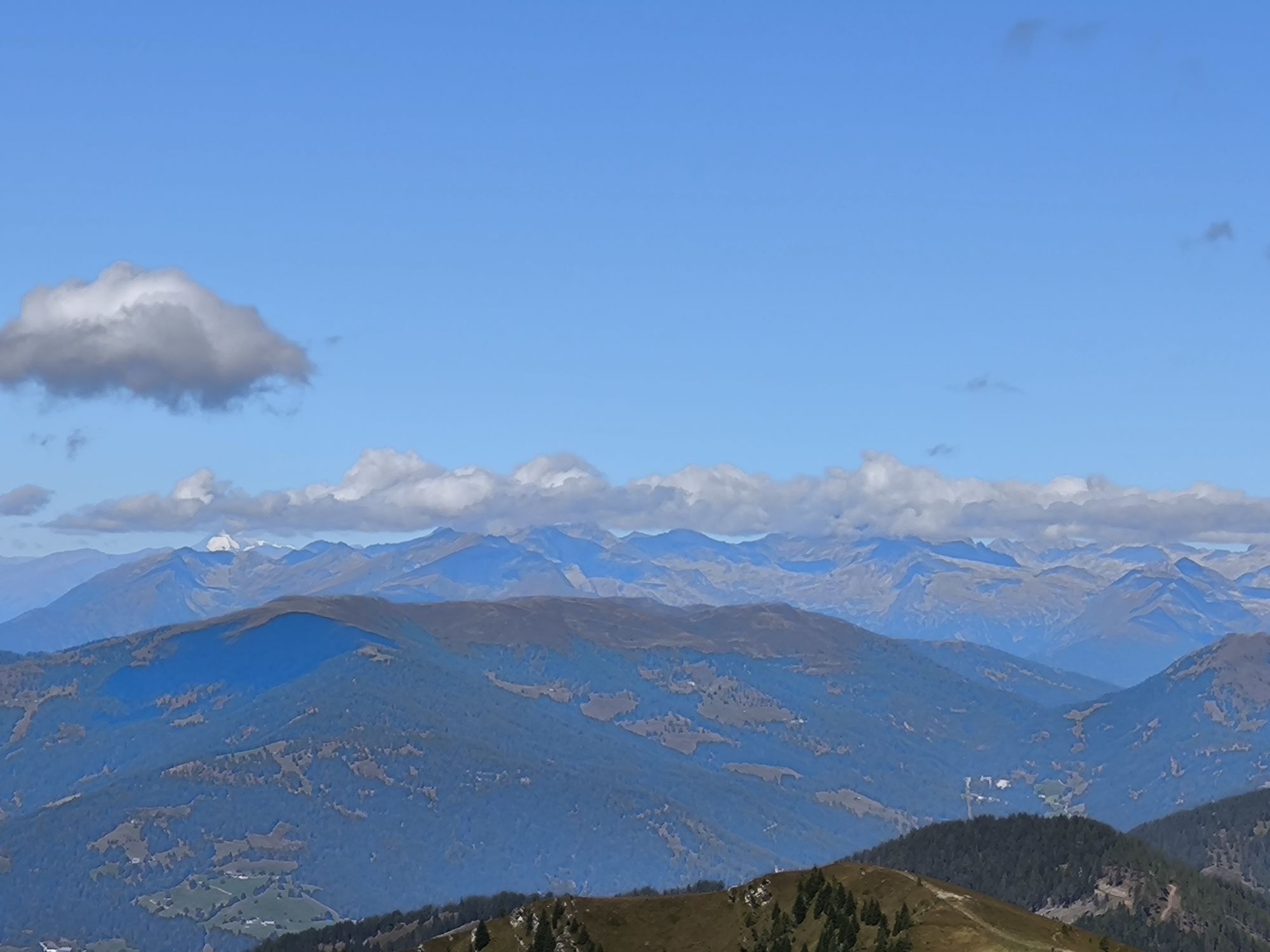
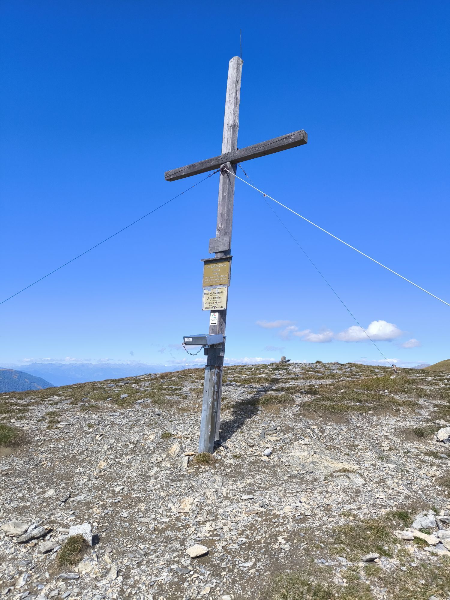
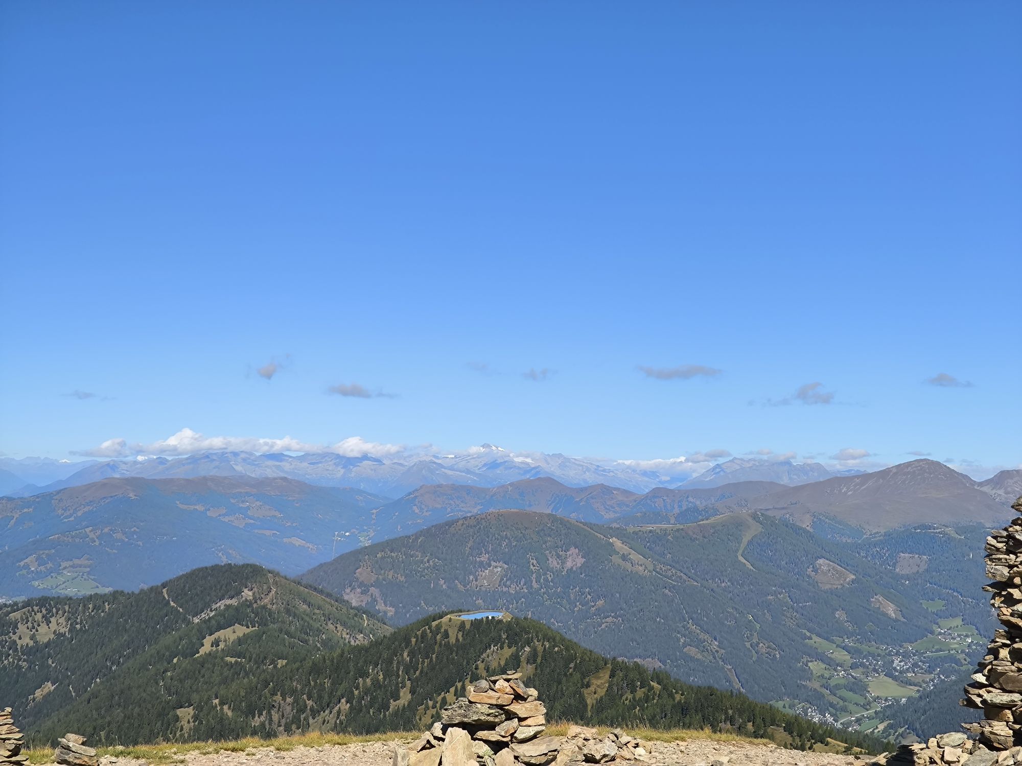
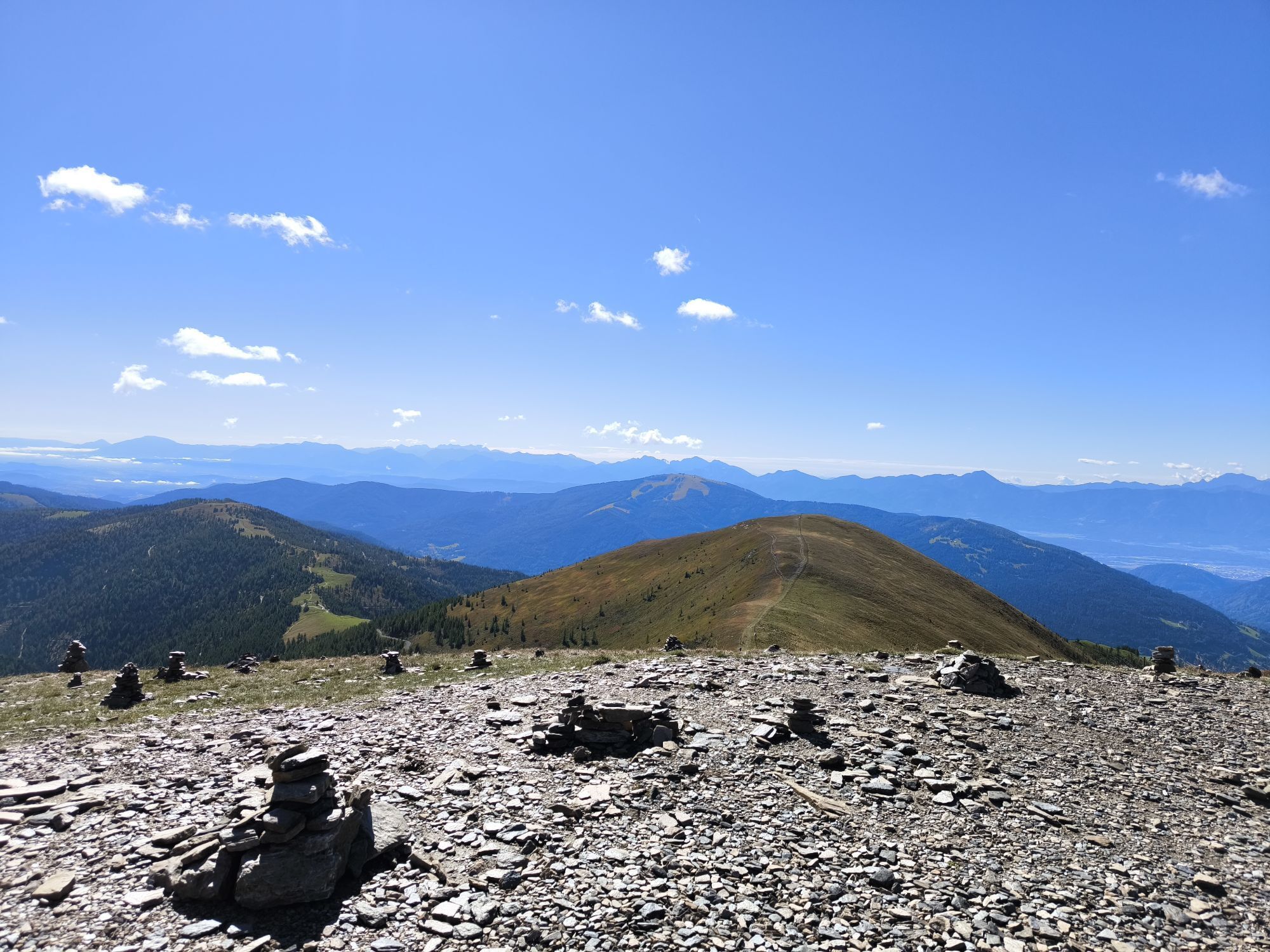
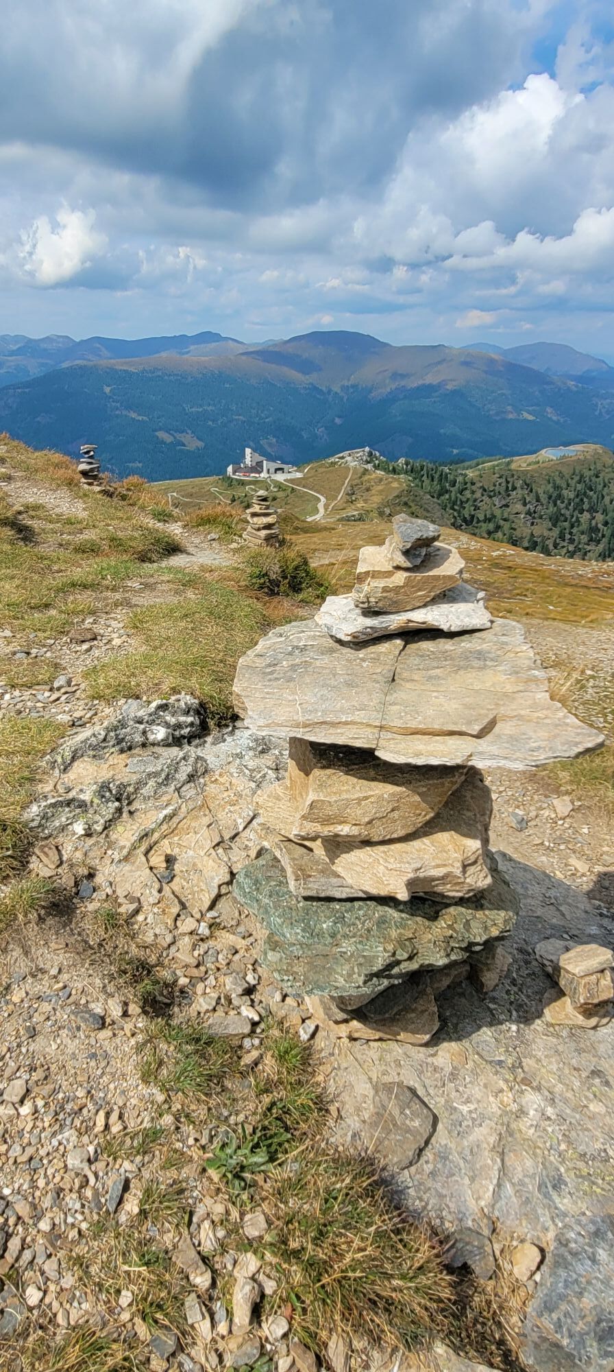

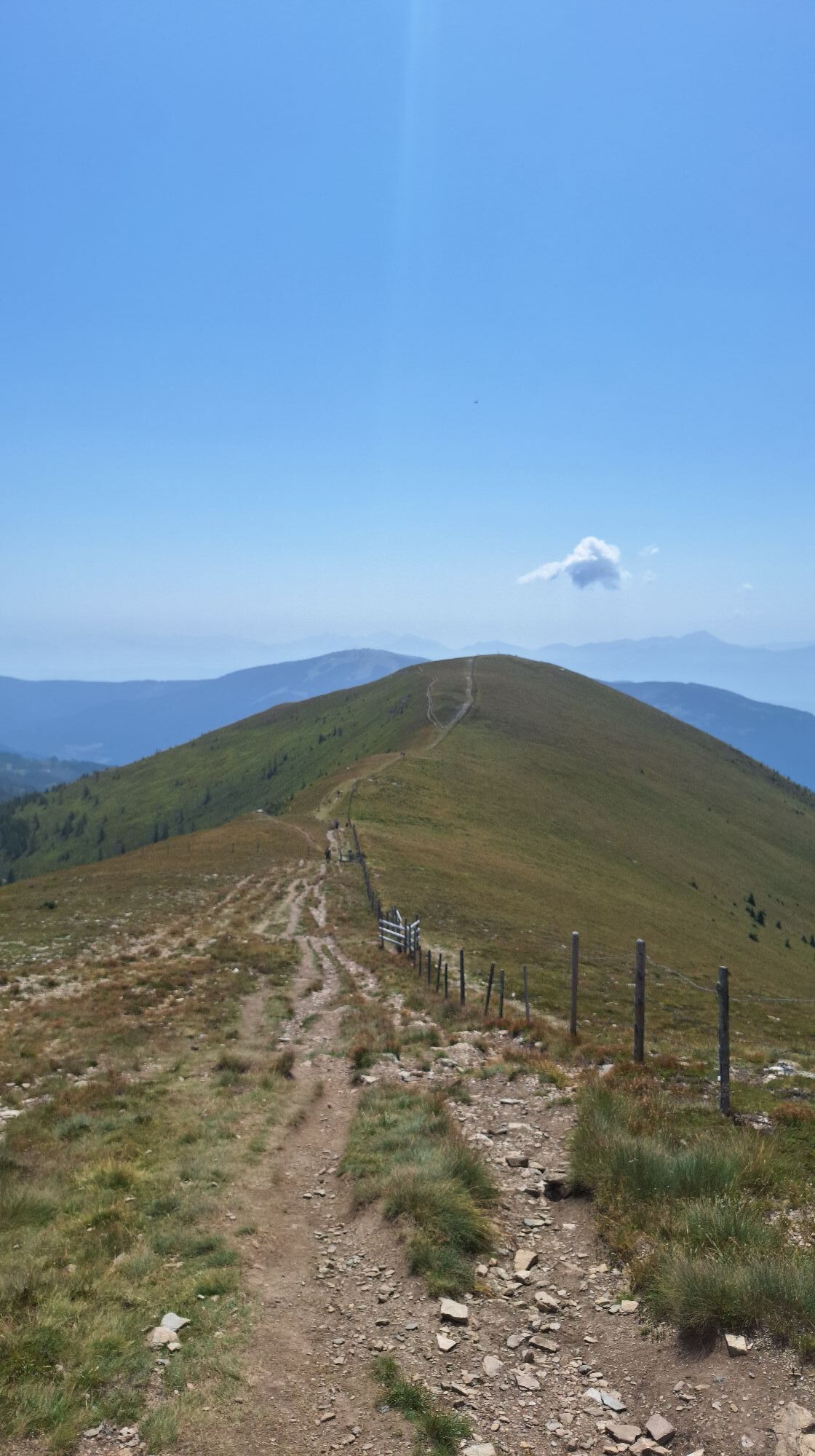
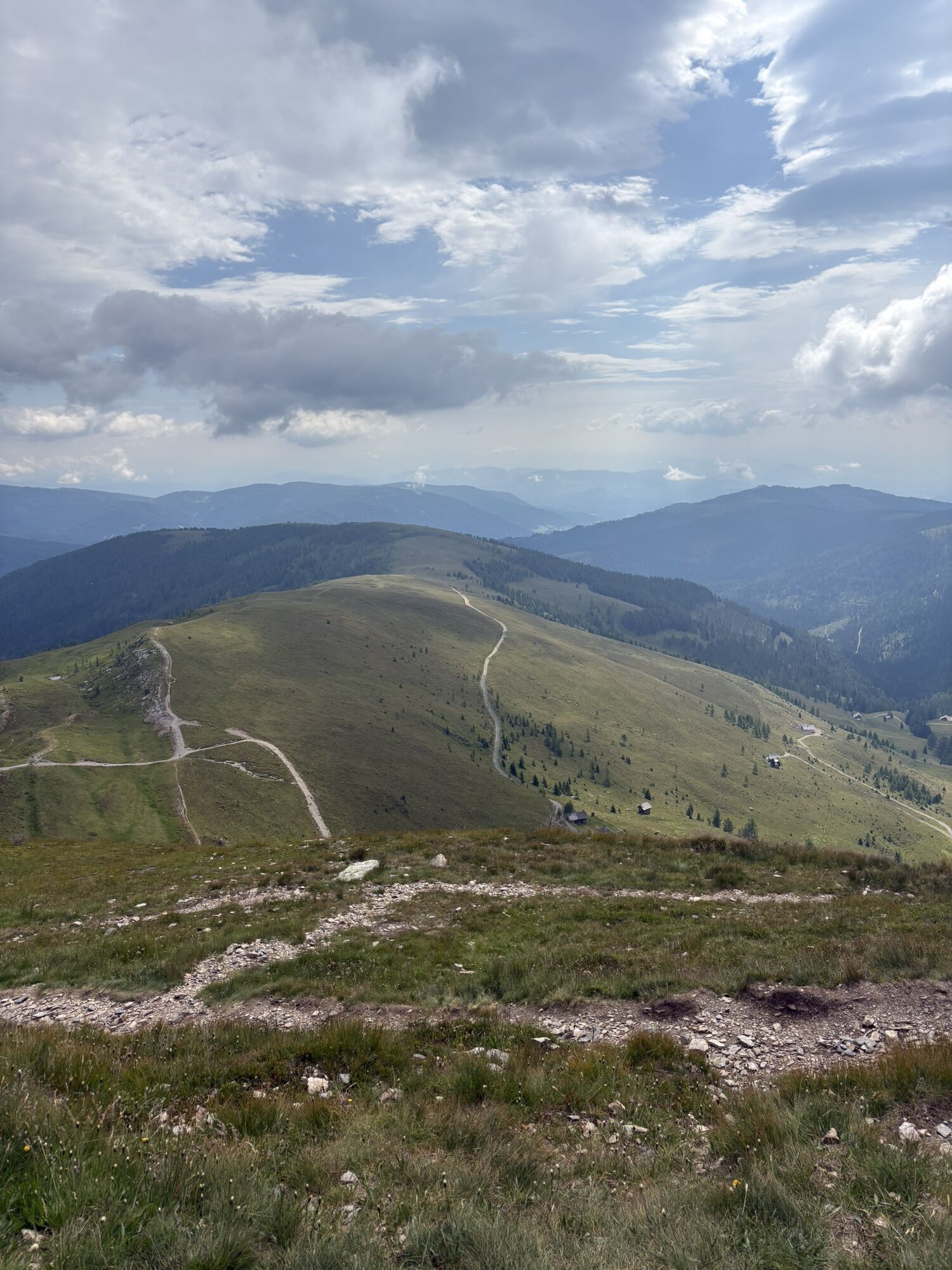
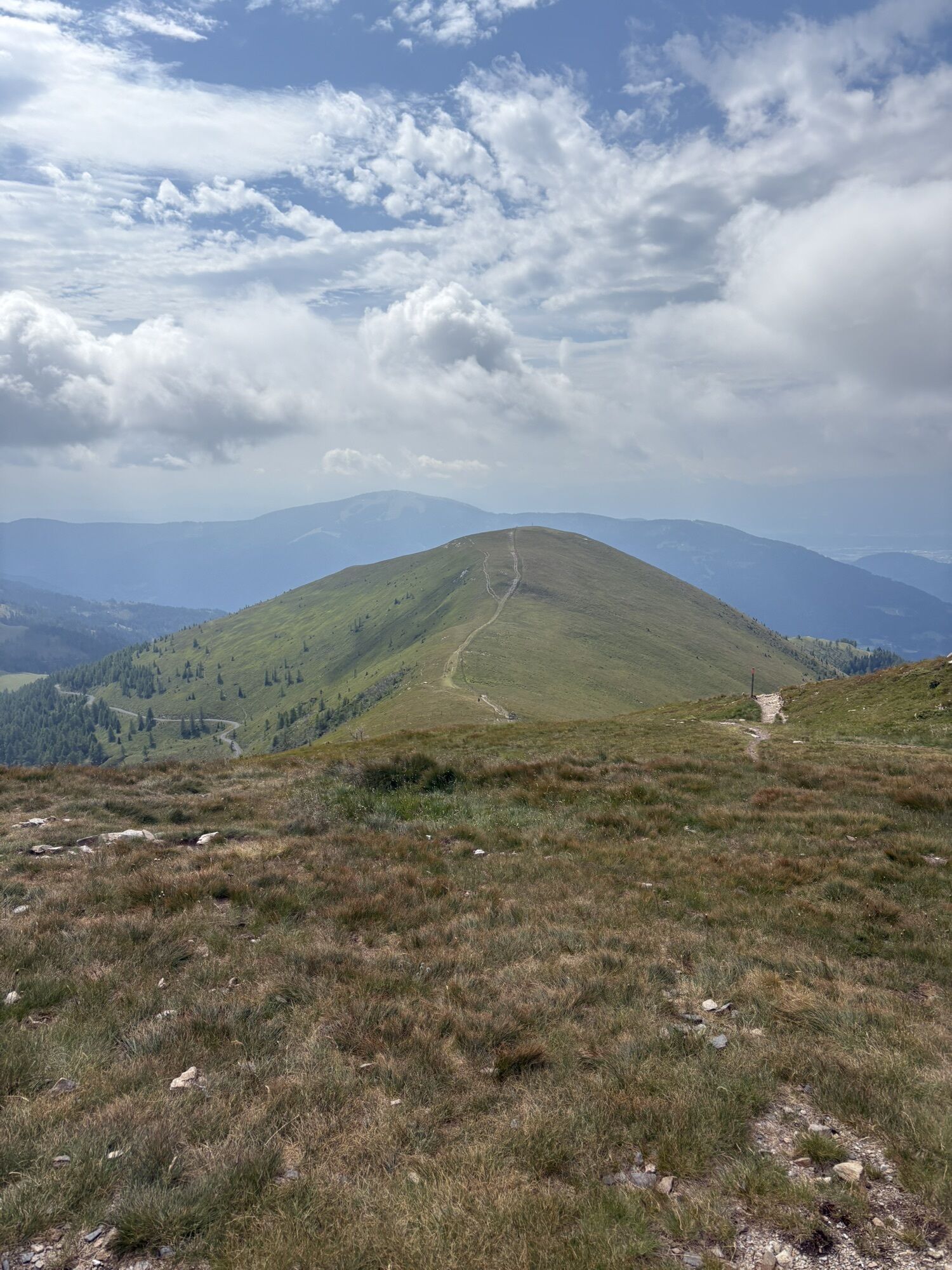
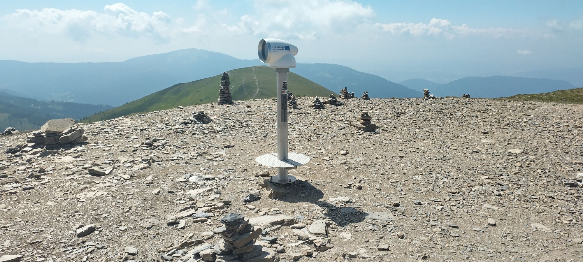
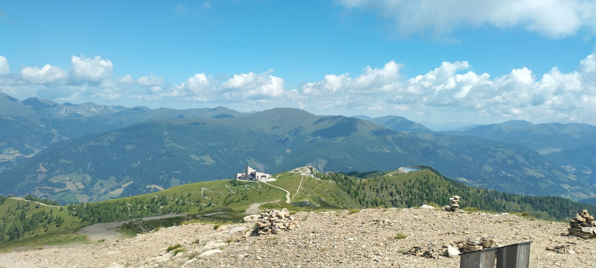
From the toll station comfortably higher on a flat forest path. From about 1500m the trail leads over open terrain and a wide ridge to the front Wöllaner Nock. Usually one is content with the Vorderer Wöllaner Nock.


The ascent takes place from the toll station along the flat mountain road to the north, which leads up to the Geigerhütte. After a few long hairpin bends, the ski tourer reaches beautiful alpine meadows at approx. 1550m above sea level after about 40-55min. Wahlweiße one leaves in direct line the driving way and climbs over the free surfaces past individual alpine huts to the north higher. Alternatively, follow the road to the next junction and then keep right. At the level of the fountain you leave the road to the north. Depending on your choice of lane, you will sooner or later reach the striking southern ridge of the Vorderer Wöllaner Nocks. After a small levelling at 1900m the ski tourer climbs the last 200m to the Vorderer Wöllaner Nock (2090m). If you like, you can also climb the Wöllaner Nock to the northwest after a short loss of altitude. The descent takes place via the ascent track.
LVS, probe, avalanche shovel, crampon
Below the Vorderen Wöllaner Nock watch out for snow slabs.
On the L 46 until the turn-off to Arriach. Up to the town centre and then follow the signs for Oberwöllan and there to the last farm by the toll road closed in winter.
Along the street in front of the mouse station individual parking possibilities.
The forest road is used in winter with a Schido. Therefore, after snowfalls wait a few days until the path is prepared.

Kamery internetowe z trasy

Popularne wycieczki w okolicy
-
4,8
Schoberriegel - Schönebennock -
światłoWędrówka 9,88 km -
4,7
4 Huts route
średniWędrówka 8,96 km -
5,0
Amberg: Palnock 1901m, Schwarzsee, Rundstrecke
średniWędrówka 7,94 km -
4,4
Finsterbach Waterfalls - Circular route
średniWędrówka 3,87 km -
4,9
Nockbergrundwanderweg
średniWędrówka 6,62 km -
4,8
Falkertsee - Sonntagstal - Falkert
średniWędrówka 4,84 km -
4,7
Große Rosennock Runde
Wędrówka 9,80 km -
4,6
Millstätter See cycle track
średniJazda na rowerze 27,7 km -
4,2
Schwarzsee circular hiking trail
średniWędrówka 7,79 km -
4,8
St. Oswald - Circular hike - Mallnock - Klomnock
średniWędrówka 10,9 km
Wędrówki i tropienie


Nie przegap ofert i inspiracji na następne wakacje
Twój adres e-mail została dodana do listy mailingowej.


