


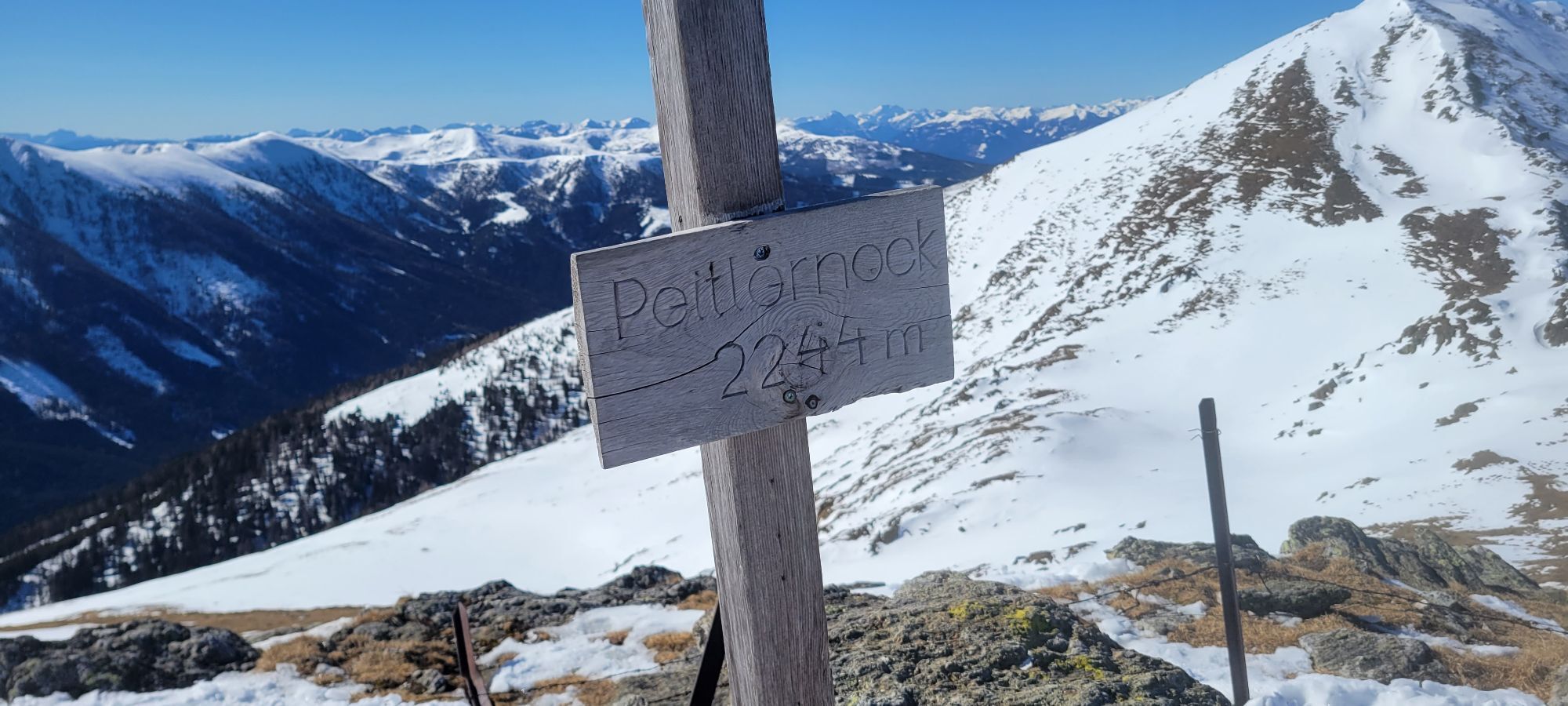
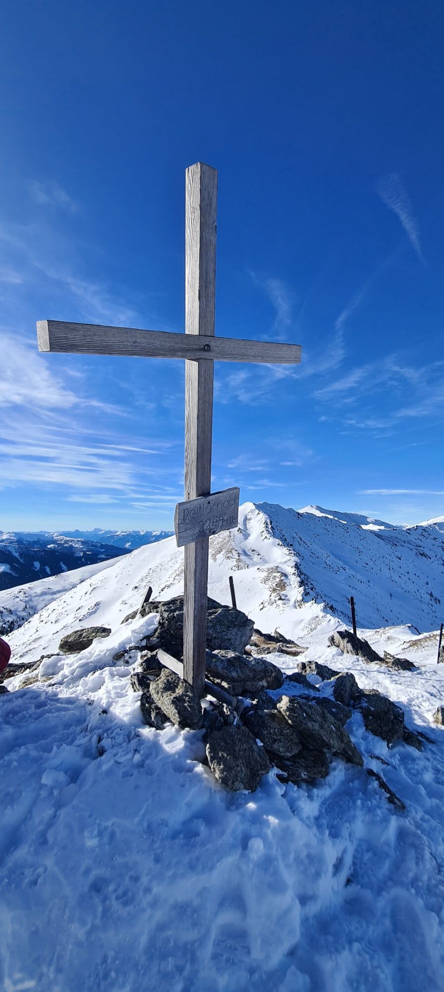
Ski tour to Peitlernock (2,244 m) in the Nockberge Biosphere Park
This beautiful ski tour leads into the core zone of the Nockberge Biosphere Park.

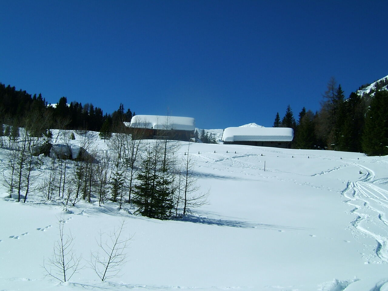
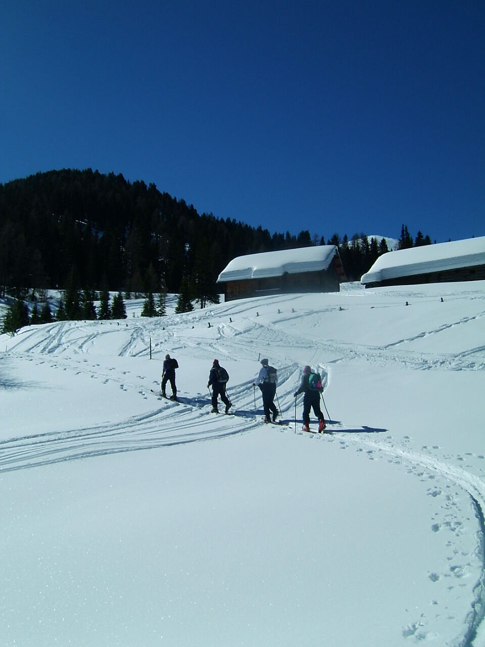
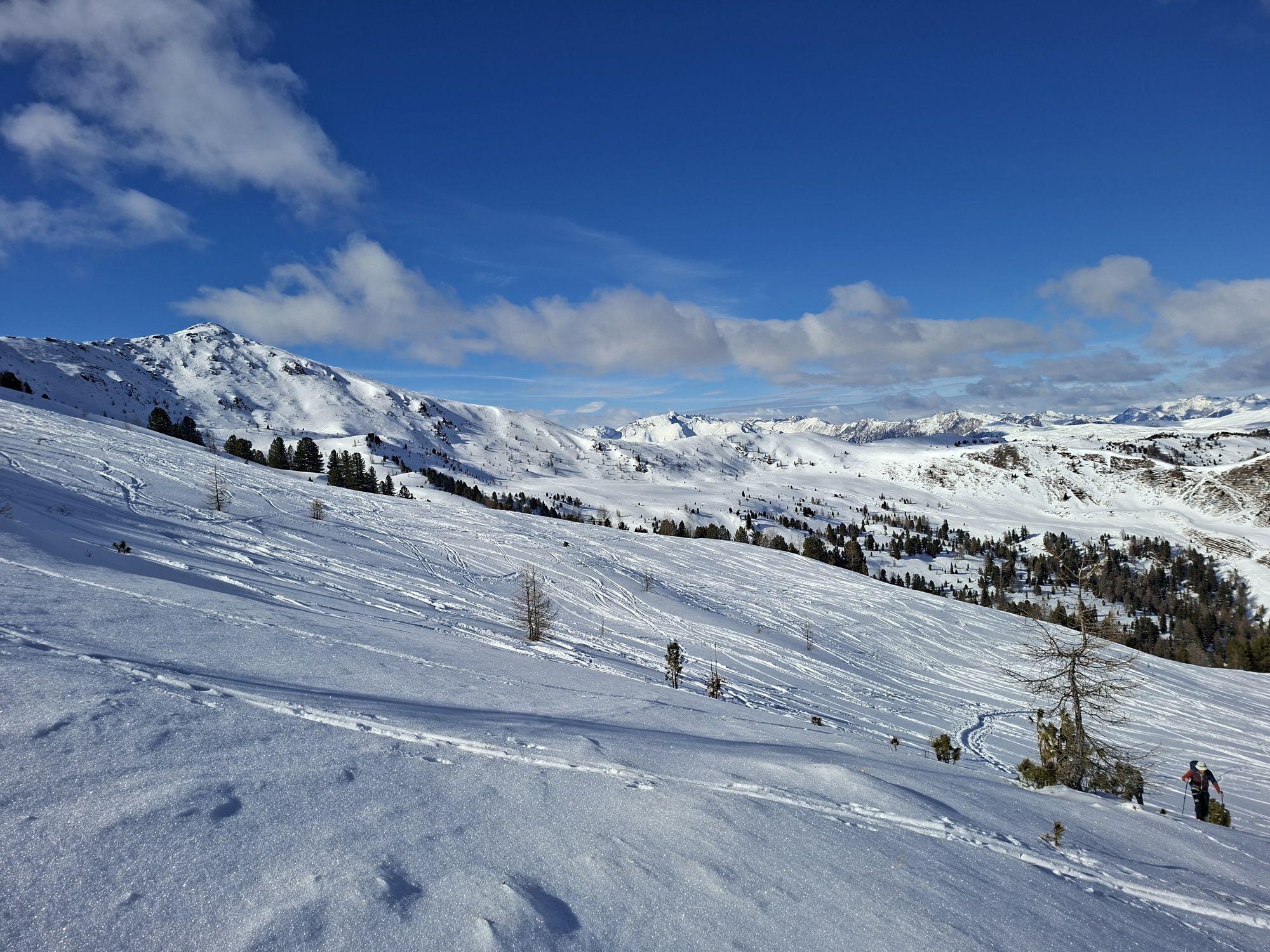
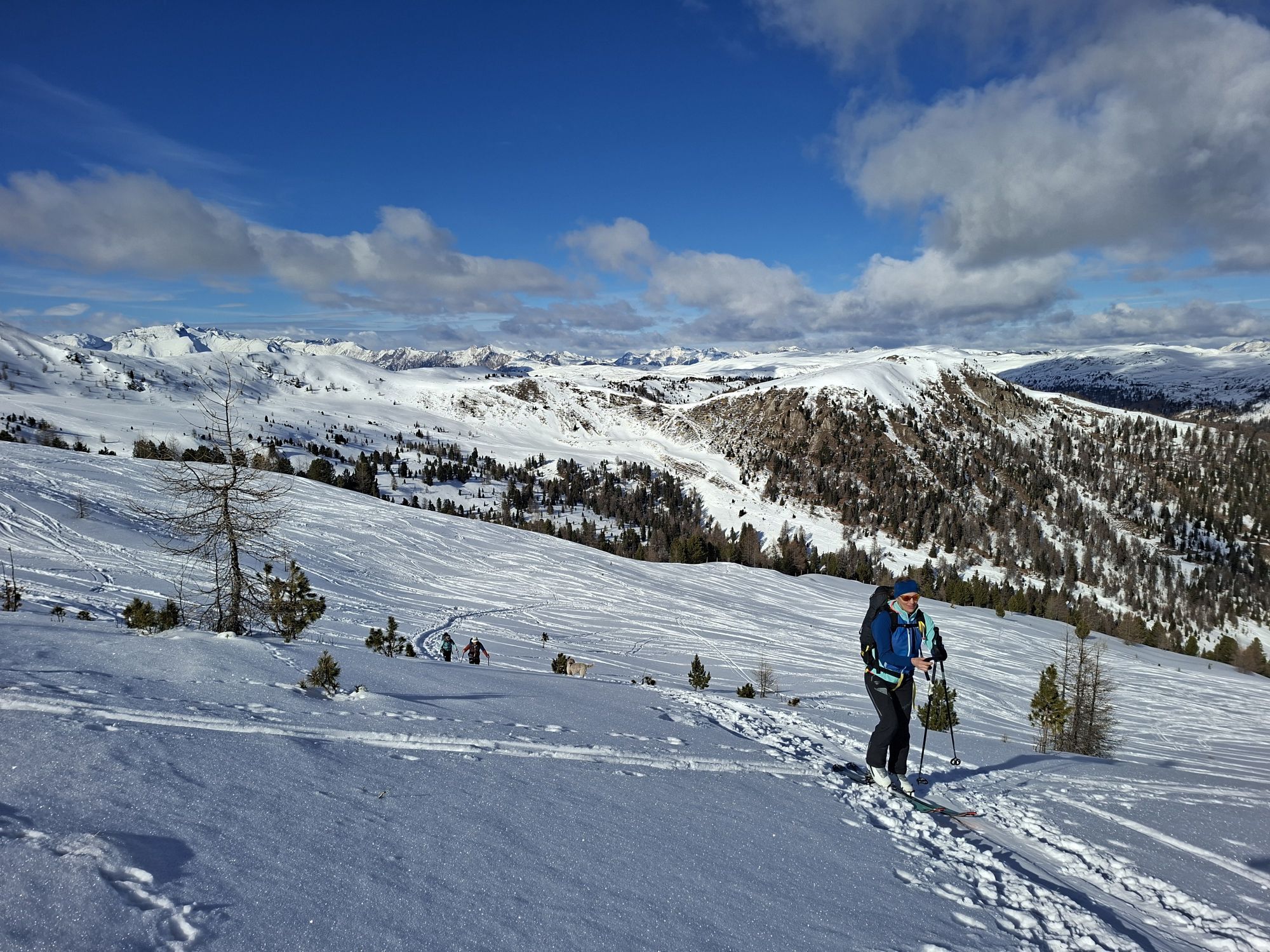
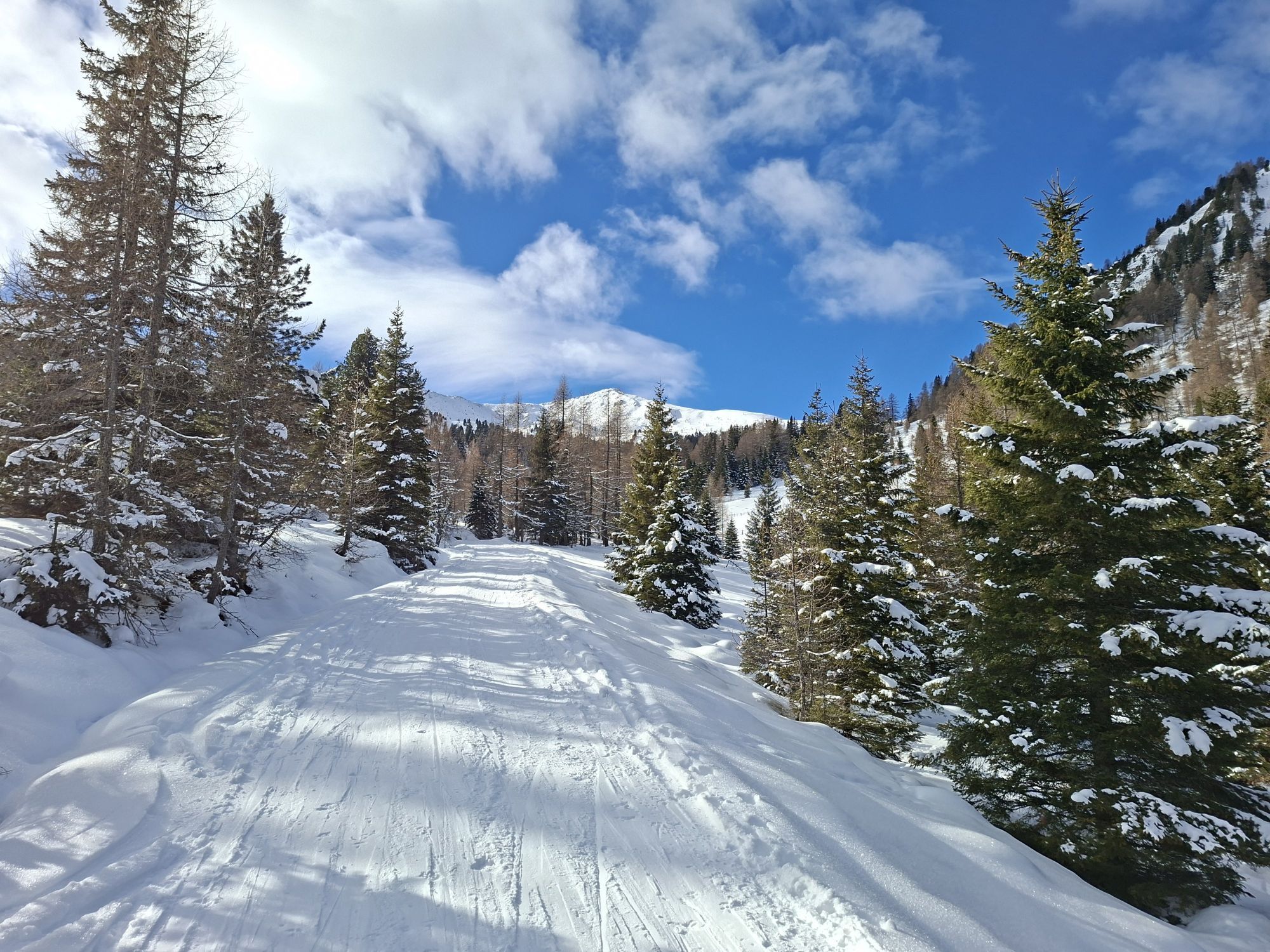
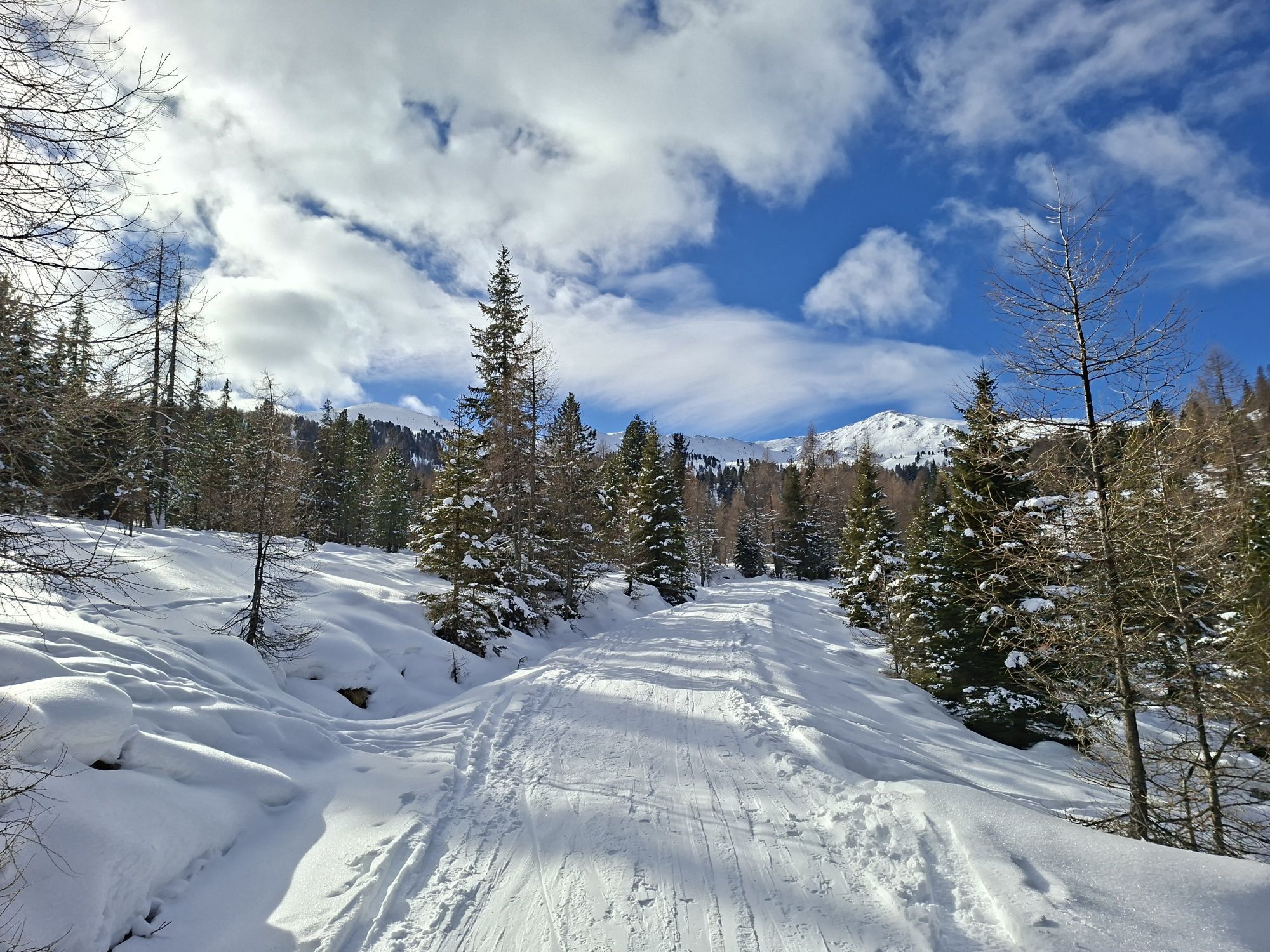
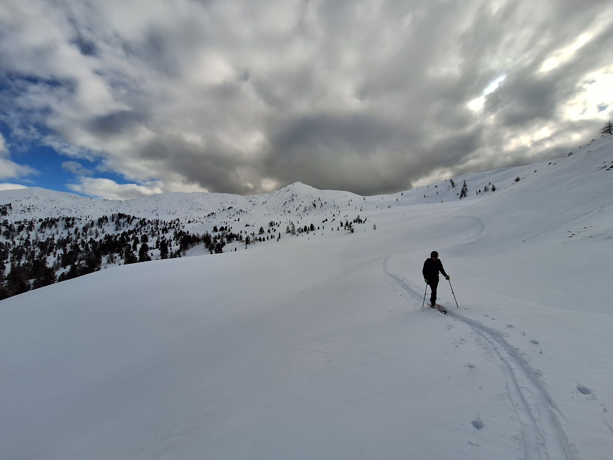
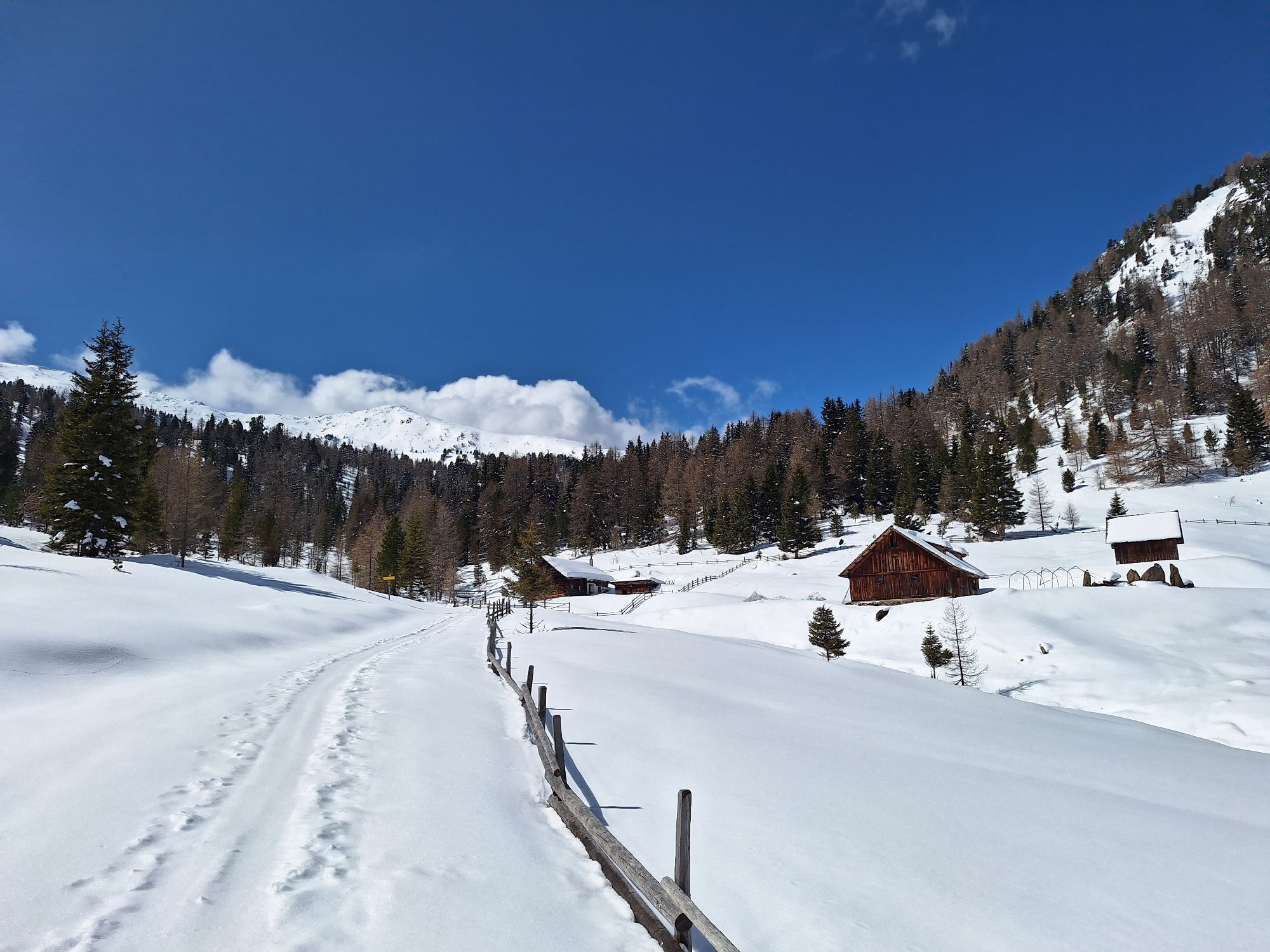
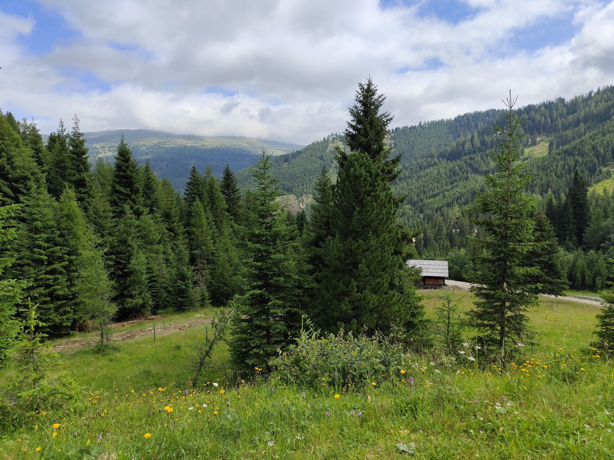
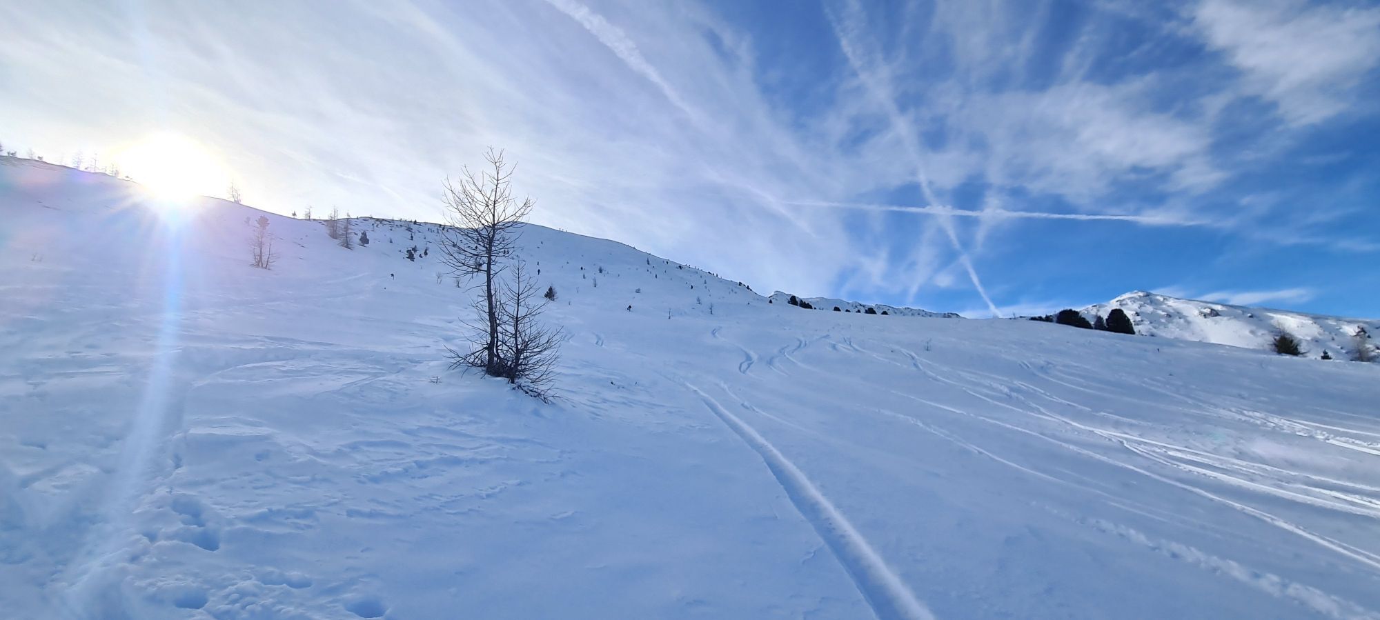
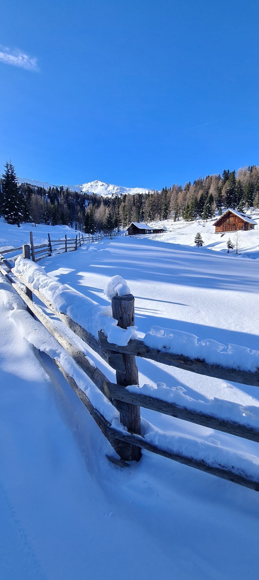
Leisurely start along the Nockalmstraße to the Nockalmhof (approx. 3 km) - then begins the ascent to the Bärengrubenalm through snowy forest and alpine meadows where you can see the summit shining in the sun.
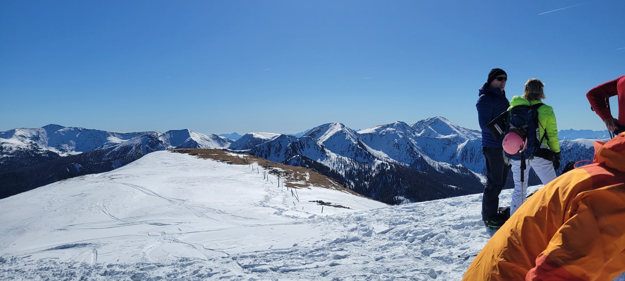
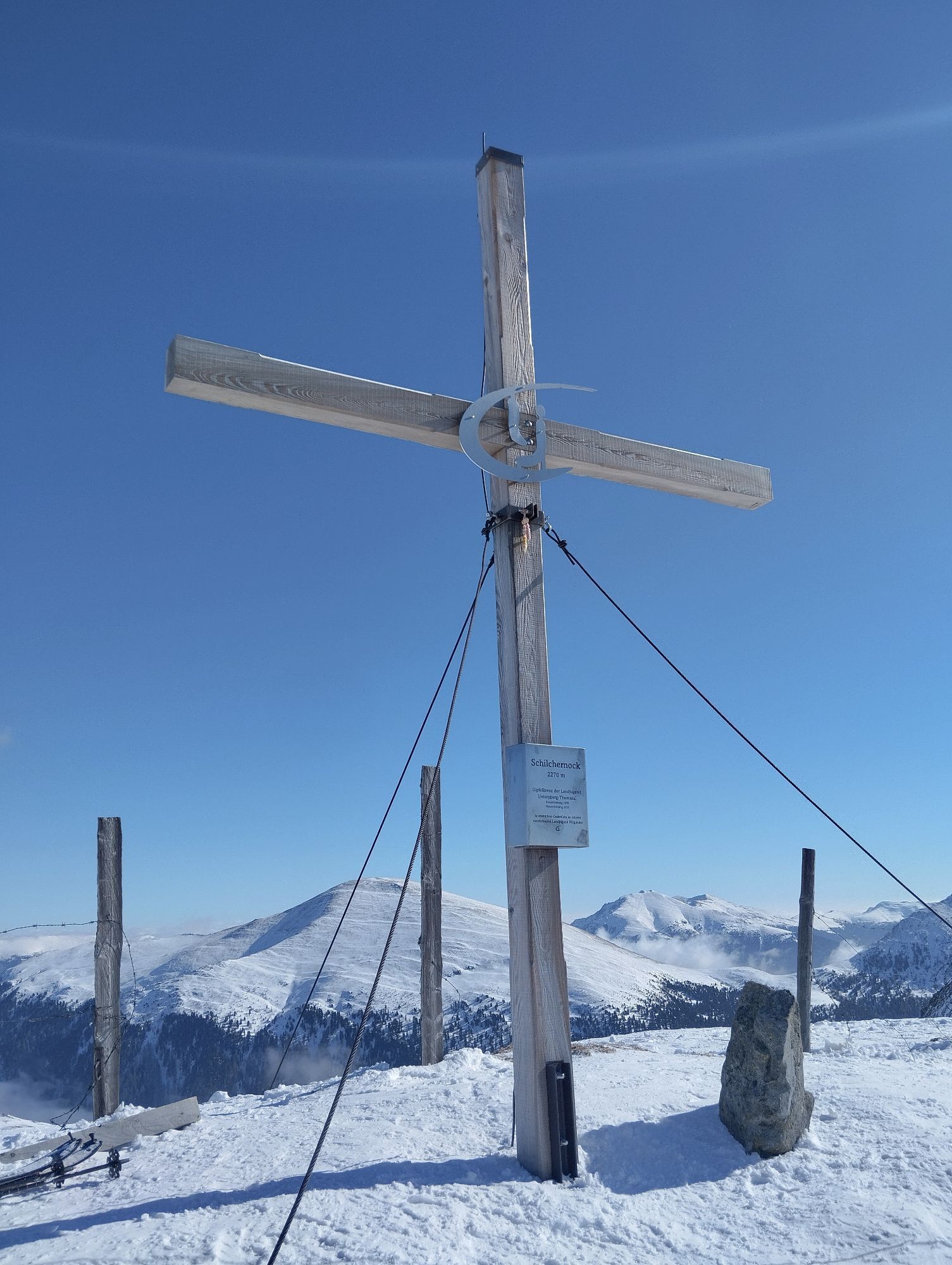
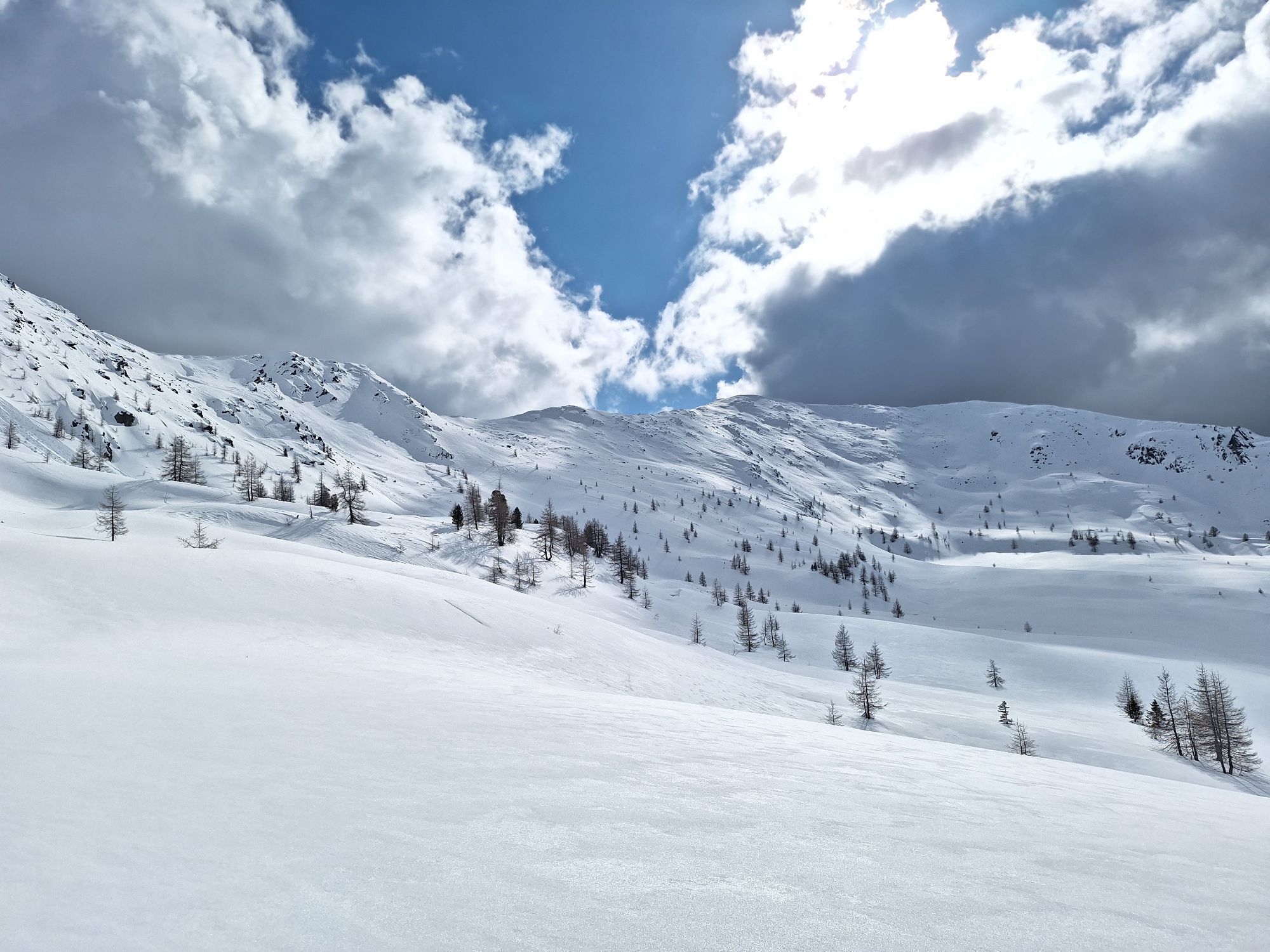
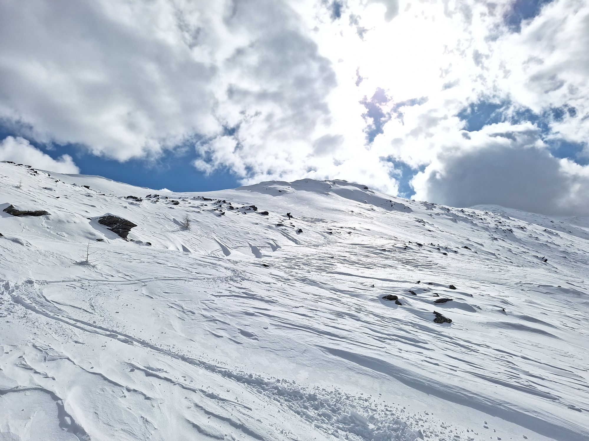
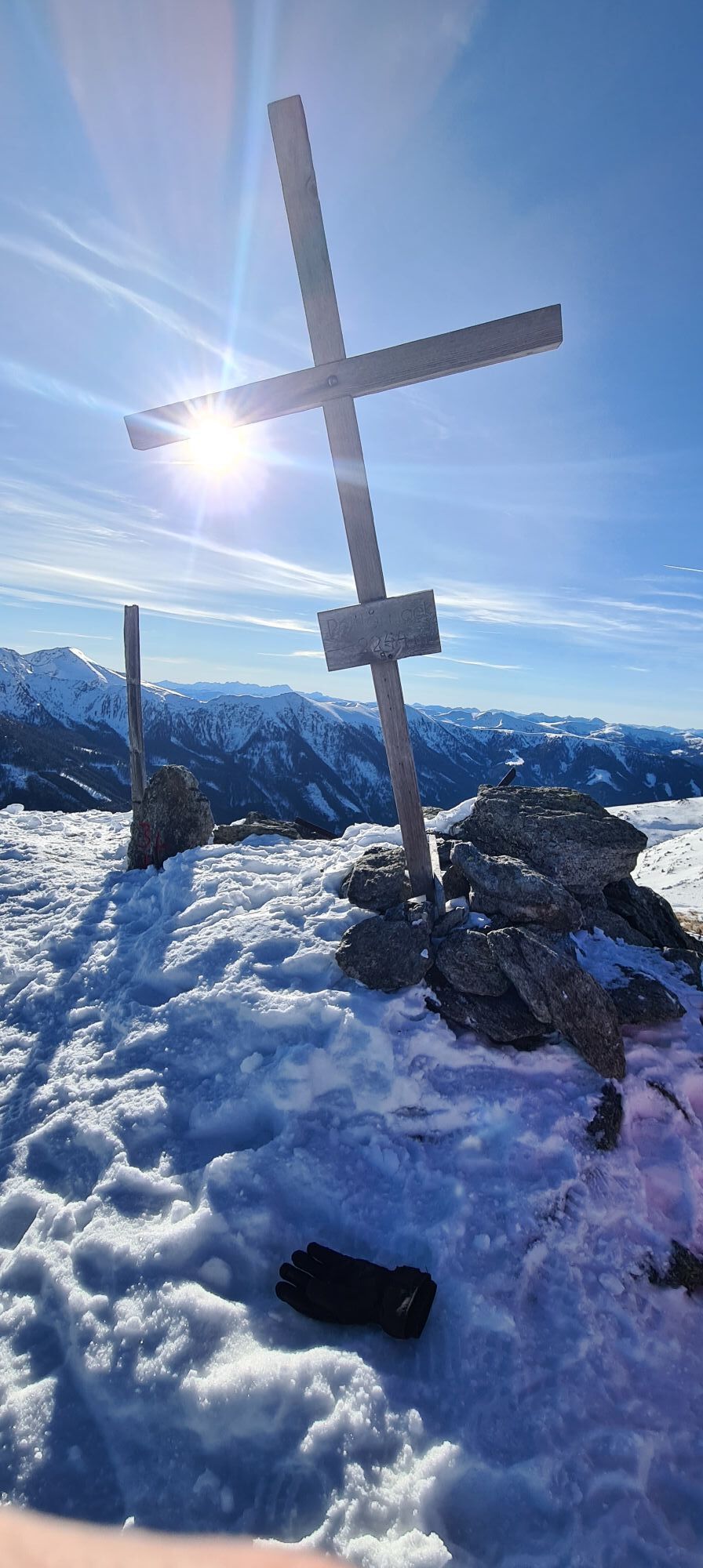
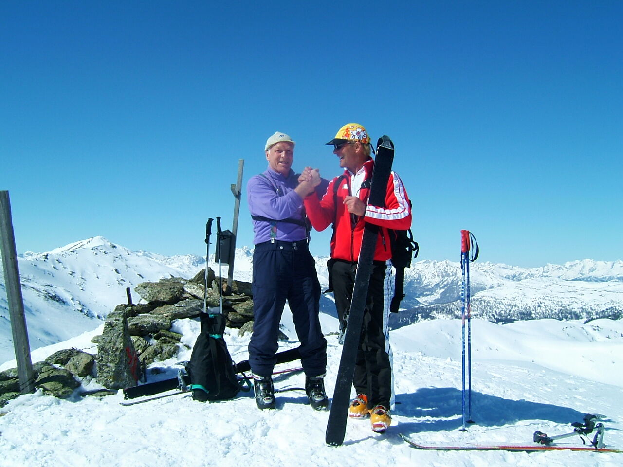
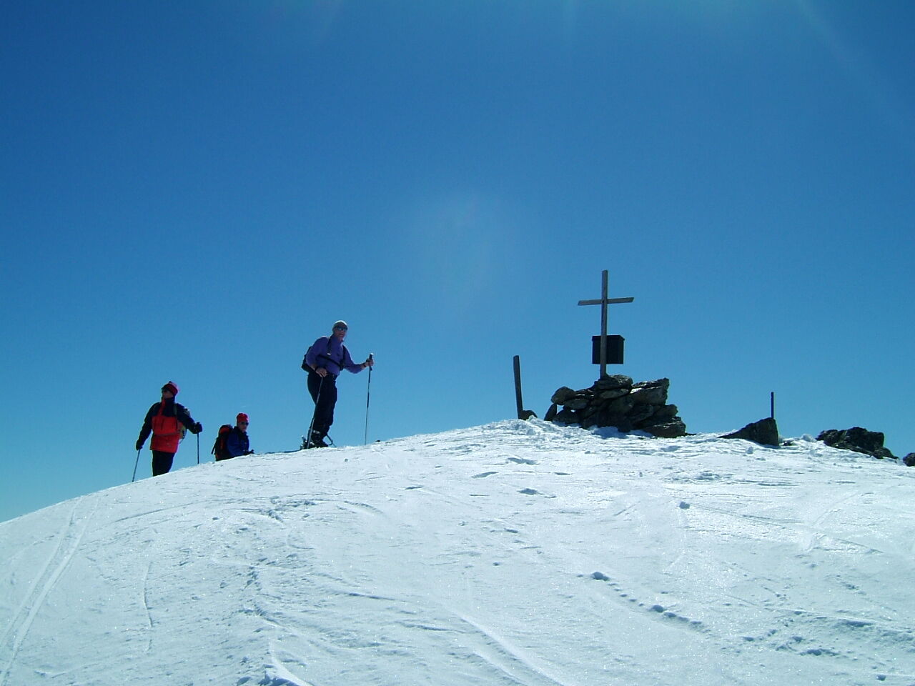
Shortly before the hut (not managed) turn left uphill (well marked) in the bright Swiss pine forest along the tree line to the beautiful increasingly steep mountain slope up to the summit cross of the Peitlernock.
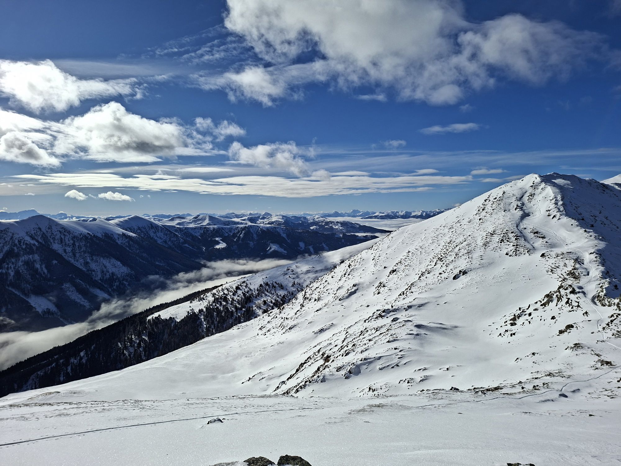
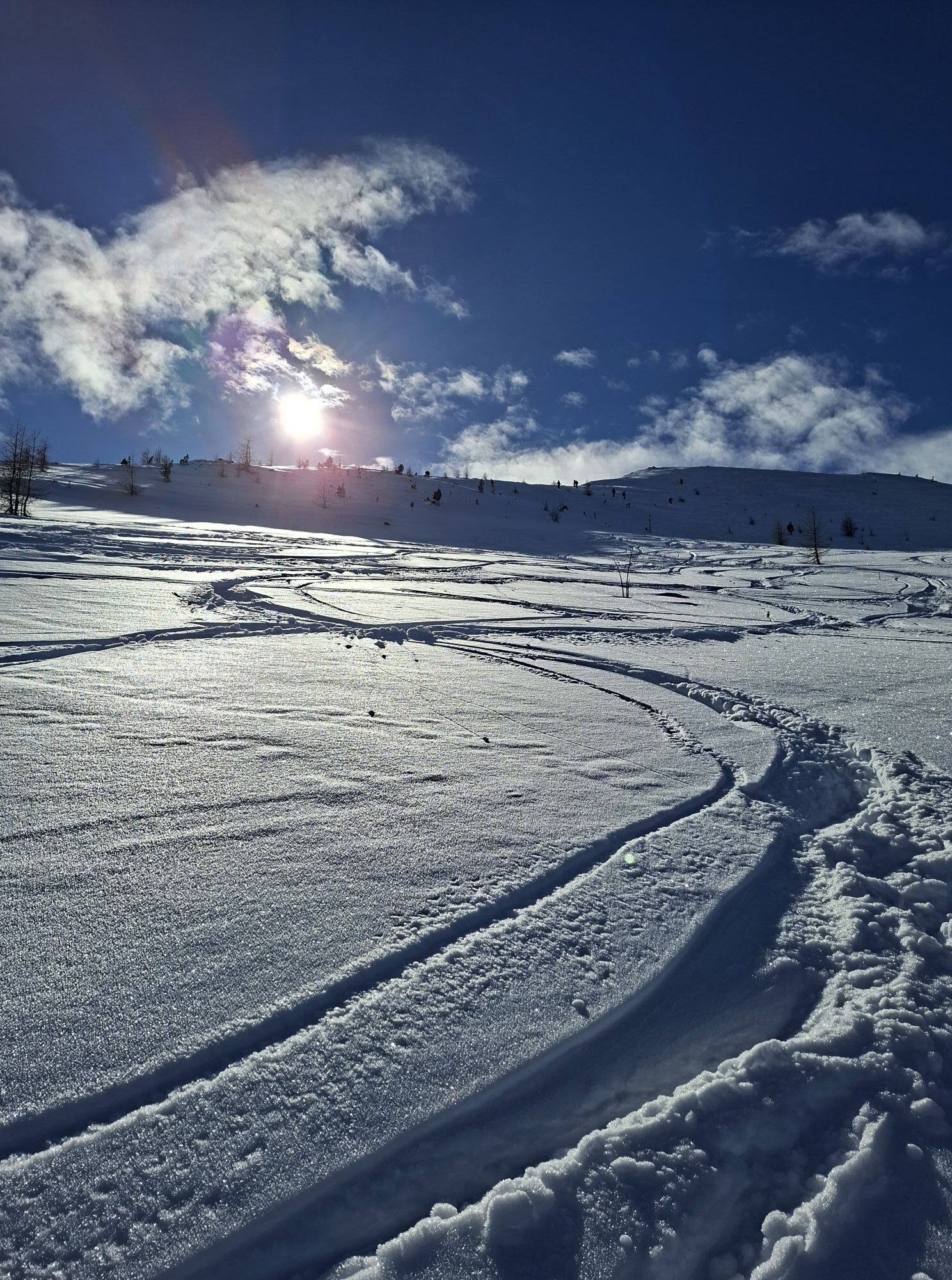
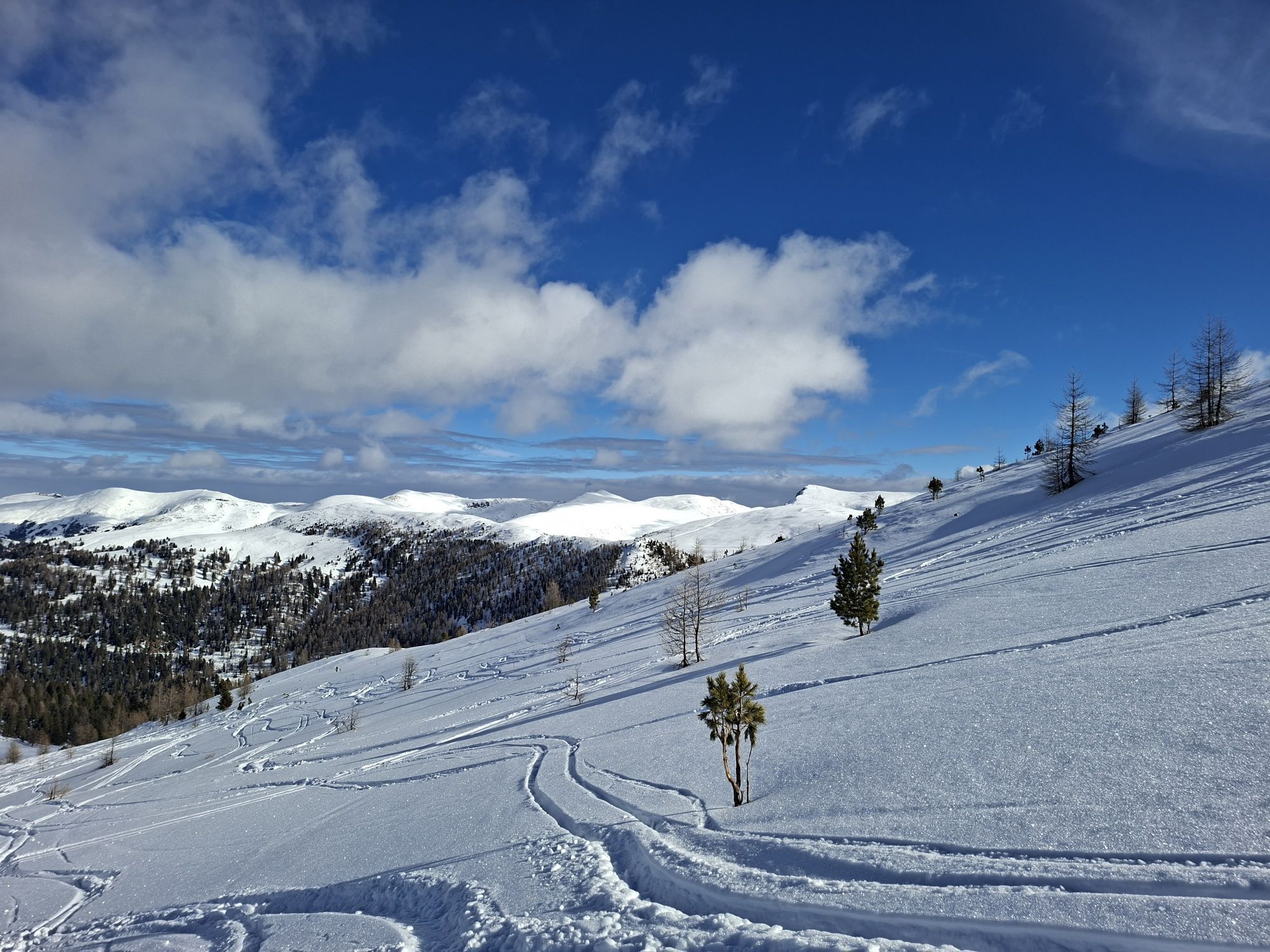
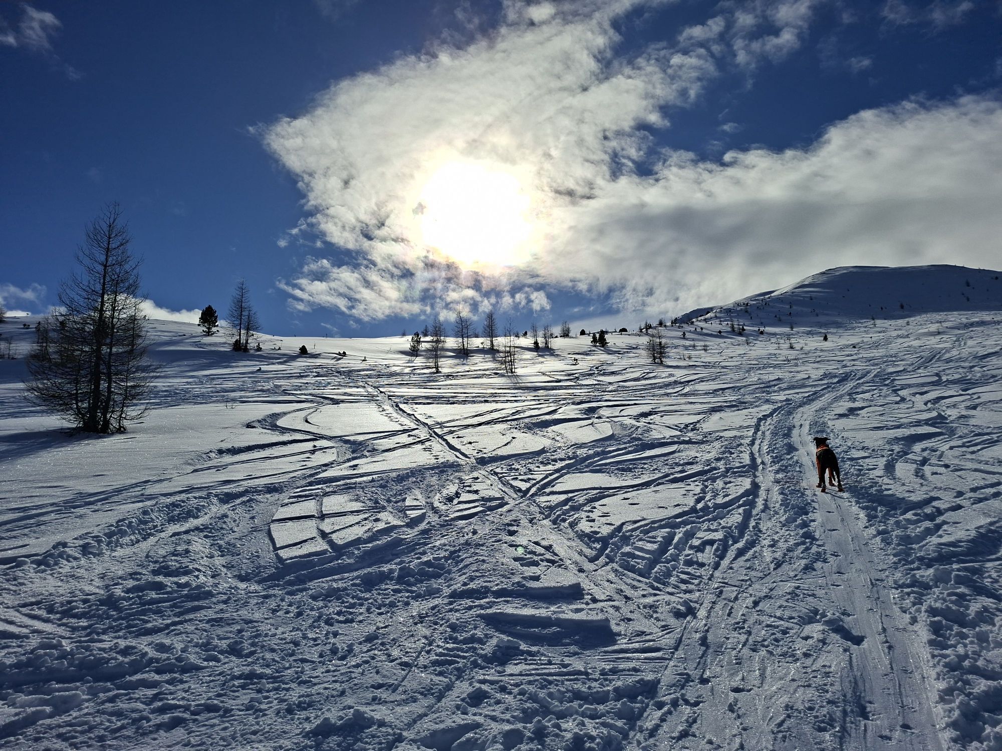
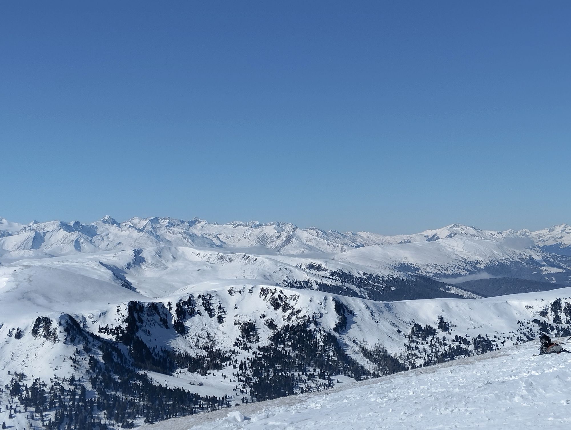
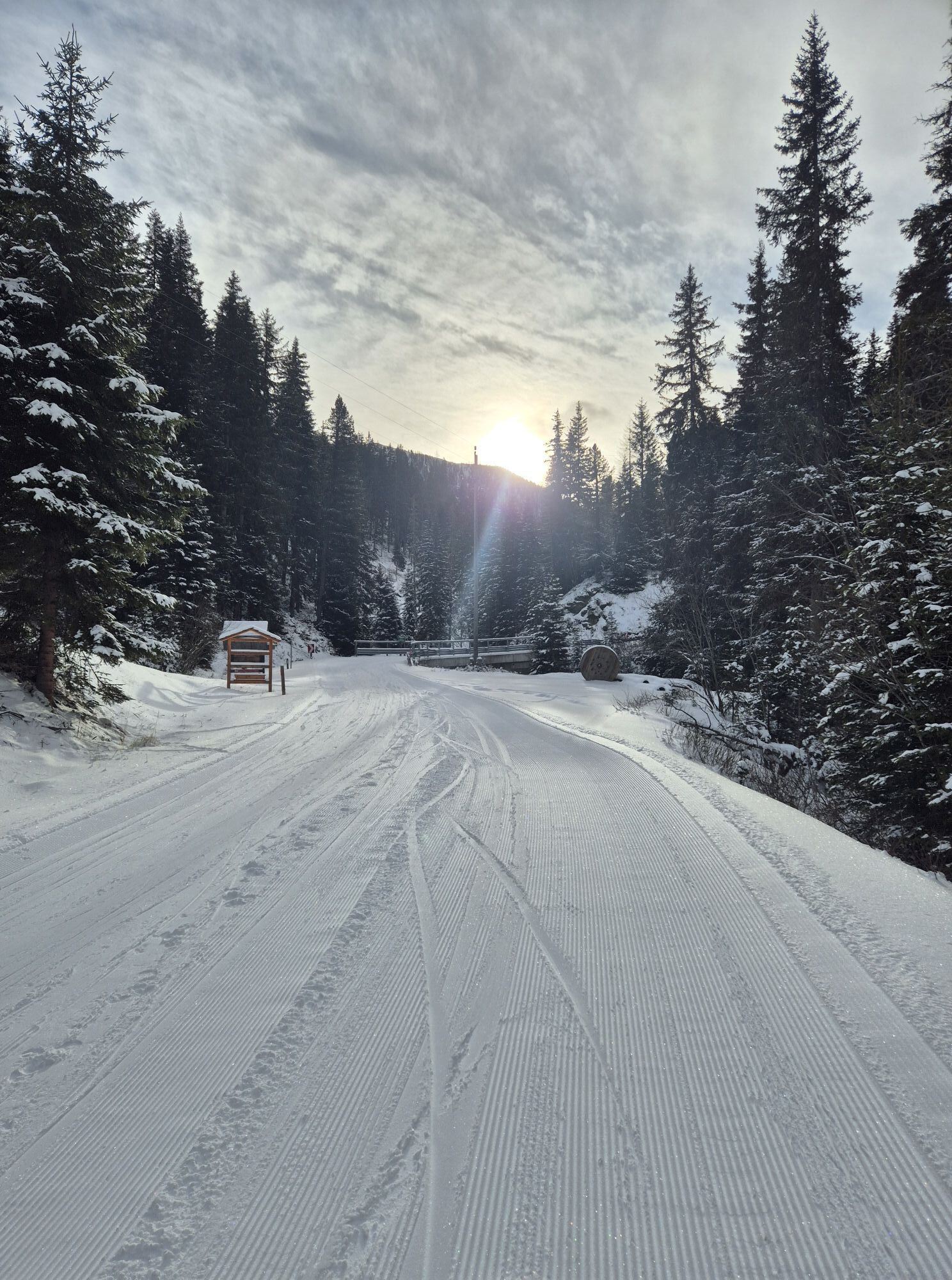
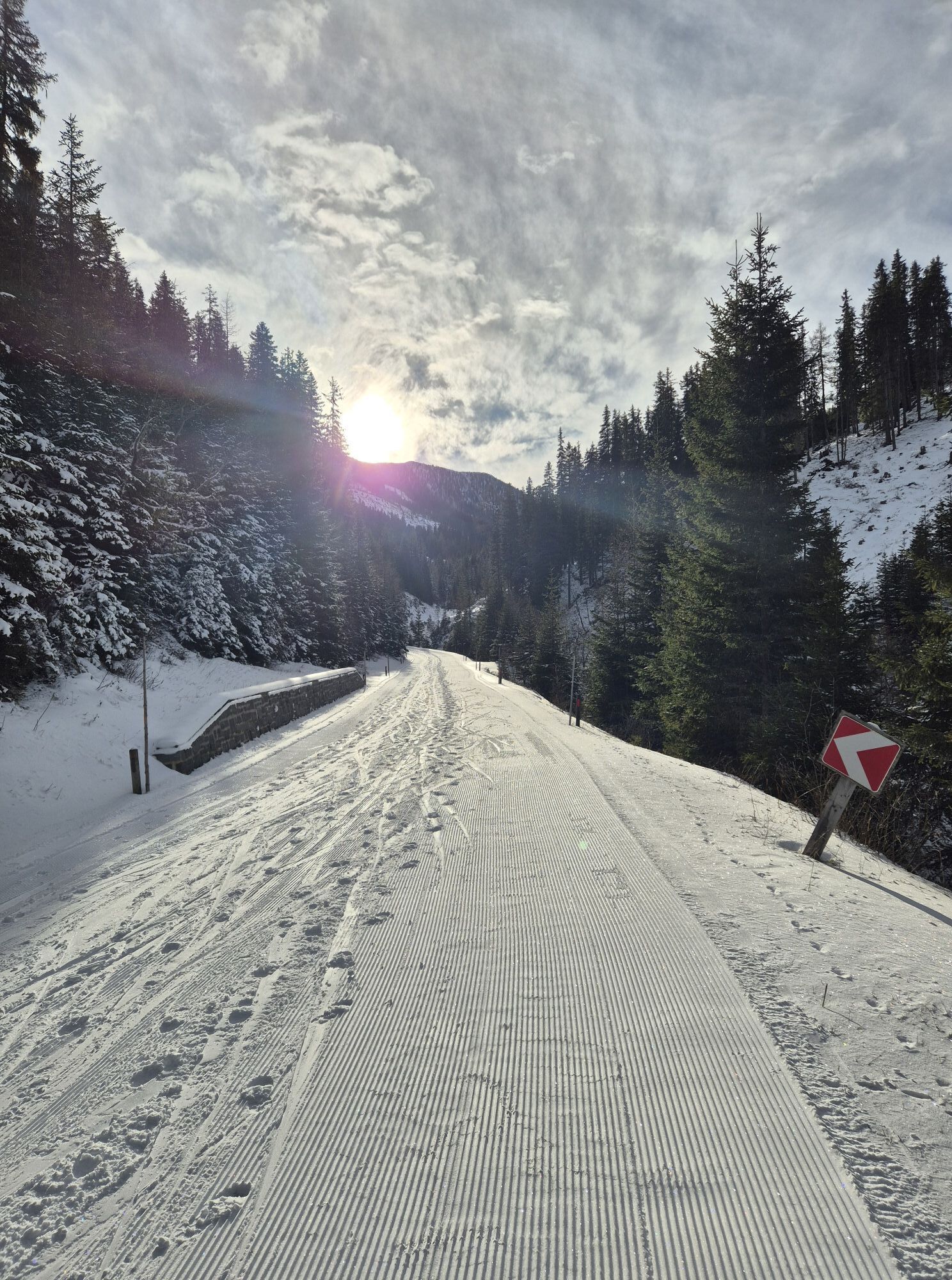
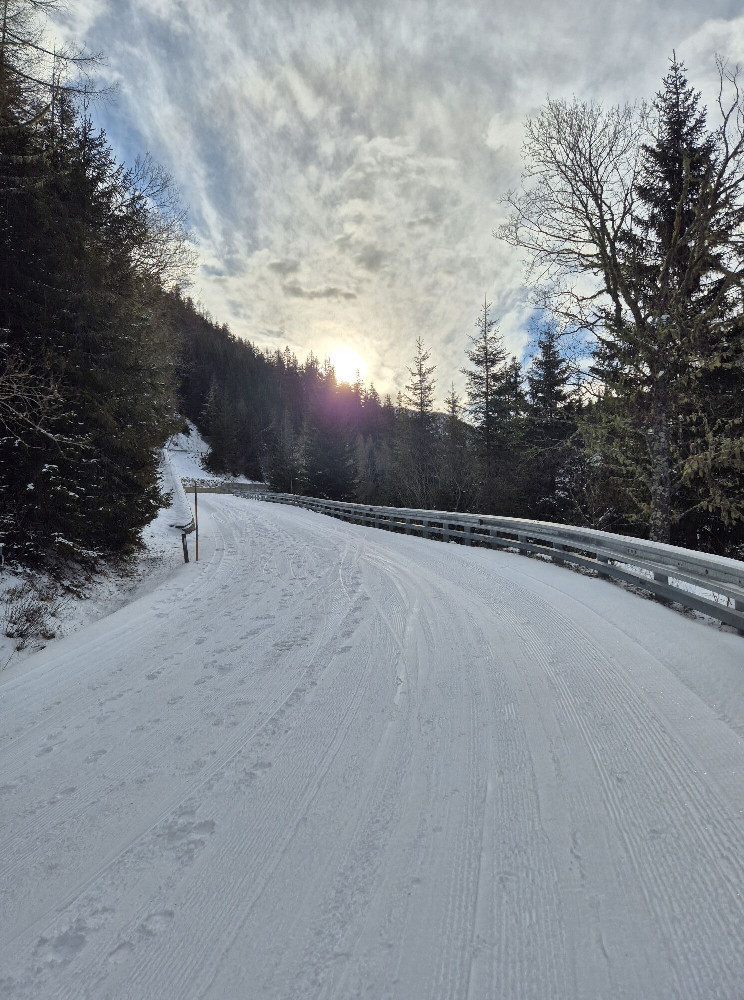
Beautiful powder snow descent (along the ascent track left/right) back to the Nockalmhof and back to the starting point.
Please observe the 5 rules for responsible snowshoeing or ski touring:
Where available, stay on marked routes; pay close attention to information boards as well as protected, conservation, and restricted areas. Consider wild animals: avoid feeding areas and immediately and calmly retreat if a wild animal is spotted. Avoid young tree cultures (under three meters); ski edges can cause serious damage to the trees. Do not leave any waste behind. Avoid noise.Tak
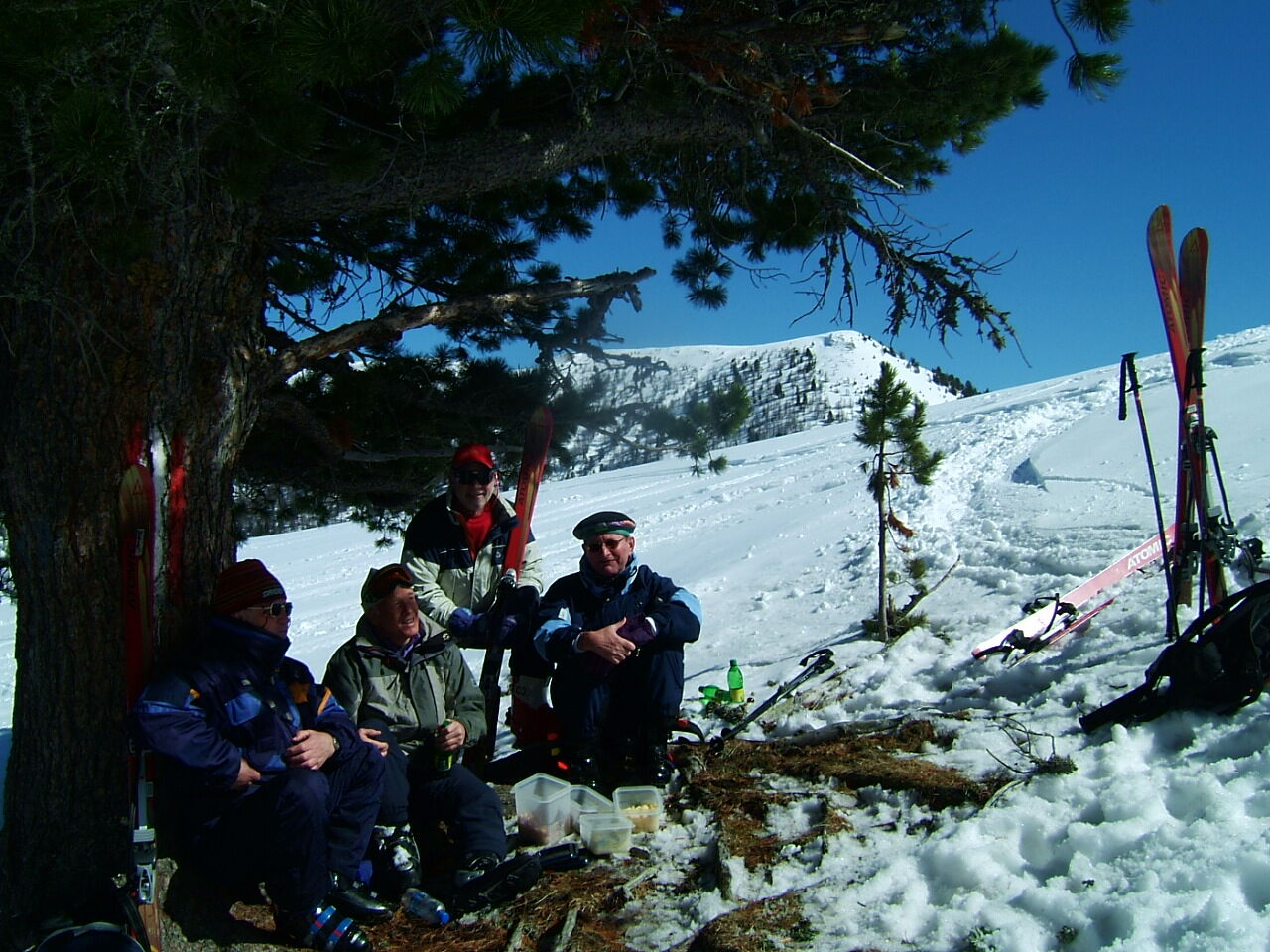
Ski touring equipment
Tour guiding and rental options at Sport Schiffer Innerkrems
www.ski-innerkrems.at
Please pay attention to the respective avalanche and safety conditions.
A 10 - exit Gmünd. Continue on B99 to Eisentratten - Kremsbrücke - Innerkrems.
Car park at the church in Innerkrems
More tour info:
Sport Schiffer Innerkrems
Tel.: 0043 (0)4736 345
info@ski-innerkrems.at
www.ski-innerkrems.at
Due to the north-facing location of the descents, the powder snow is guaranteed until the end of March.

Popularne wycieczki w okolicy
-
4,6
Turracher 3 Seen Weg - Weg der Sinne zwischen Berg & See
światłoTrasa tematyczna 7,15 km -
4,7
Schoberriegel - Schönebennock -
światłoWędrówka 9,88 km -
4,6
19, 97 Herzerl trail to the Gamskogelhütte
światłoTrasa tematyczna 3,83 km -
3,9
Schlögelbergrundweg Nr. 82 (Wasserweg Leisnitz)
średniWędrówka 5,15 km -
4,9
Nockbergrundwanderweg
średniWędrówka 6,62 km -
4,8
Große Rosennock Runde
Wędrówka 9,80 km -
4,6
Falkertsee - Sonntagstal - Falkert
średniWędrówka 4,84 km -
4,8
St. Oswald - Circular hike - Mallnock - Klomnock
średniWędrówka 10,9 km -
4,7
Falkert, Murmelsteig B/C mit Direktem Abstieg
średniVia ferrata 3,61 km -
4,8
Schönfeld: Großer Königstuhl
średniWędrówka 11,2 km

Wędrówki i tropienie


Nie przegap ofert i inspiracji na następne wakacje
Twój adres e-mail została dodana do listy mailingowej.