







PT_N1 Vorhegg (1,200 m)
Poziom trudności: F
The slope ski route to Vorhegg in Kötschach-Mauthen is an ideal destination for beginners and connoisseurs and is optimally accessible by public transport as well as by car.

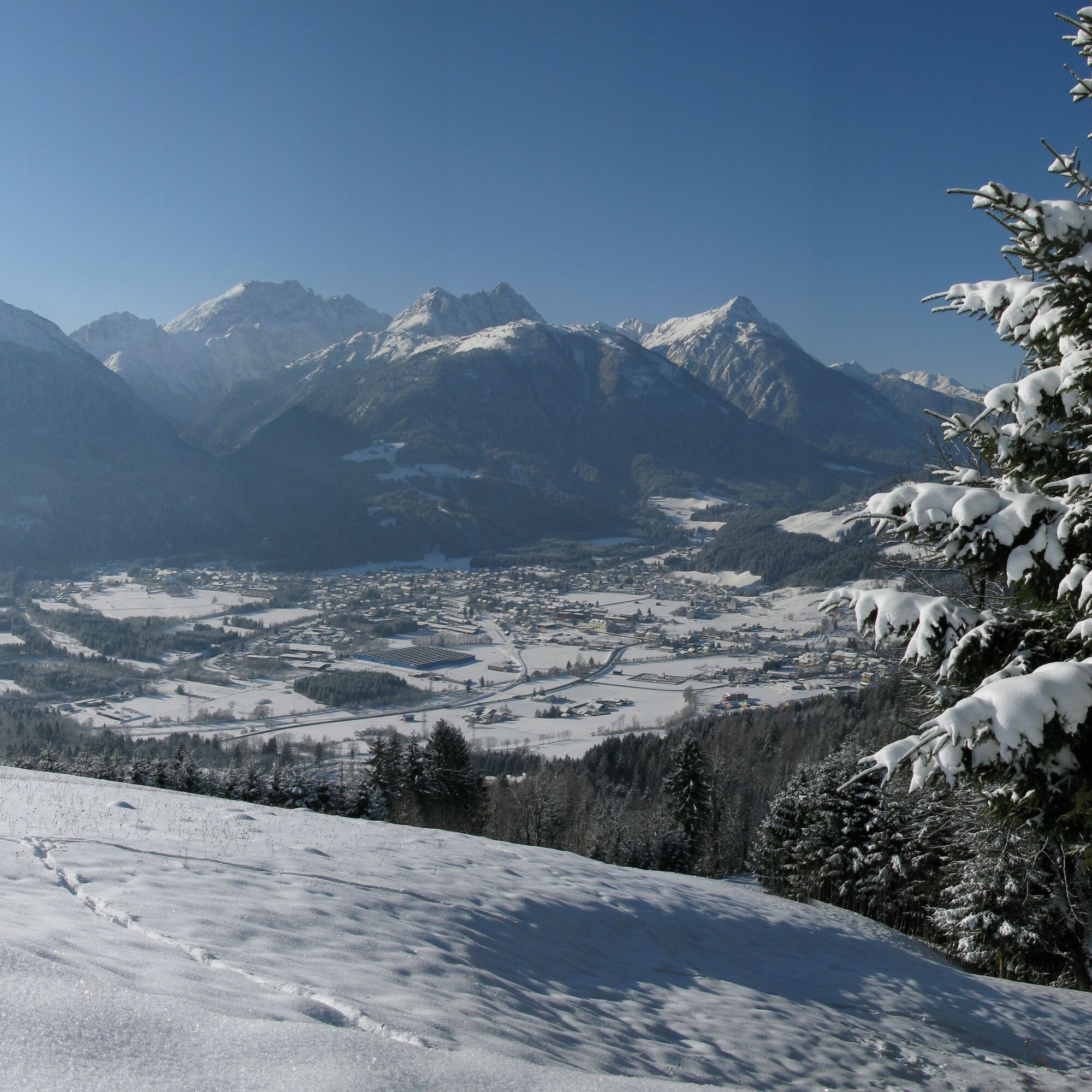

The ascent takes place, observing FIS rules, along the edge of the often sunny ski slope, over flat and some moderately steep sections.
Directly at the destination - the mountain station Vorhegg, nestled in the surrounding forests, you reach the mountain station Vorhegg - with a beautiful view of the Kötschach Alm (Jukbichl).
Descent:
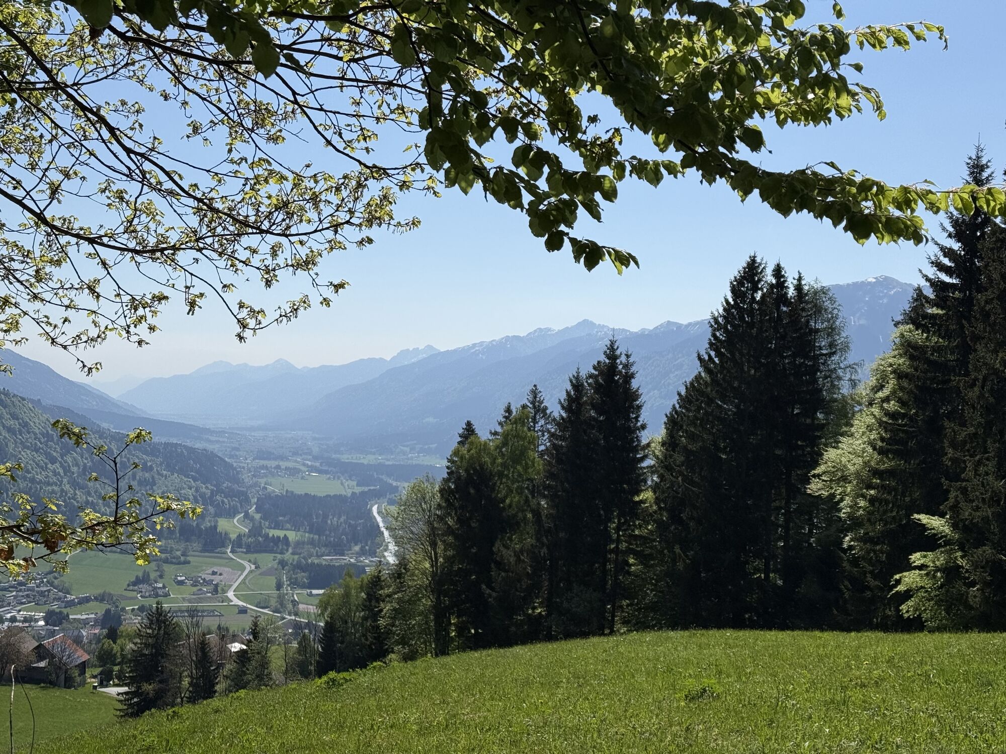
Your ascent efforts are rewarded on the descent over the piste with a beautiful view into the Gail valley as well as the Gailtal Alps and the Carnic Alps.
The time required for the descent is not included in the stated 1 hour 25 minutes (this time indication is for the ascent).
Mindfulness for nature – landowners – your health... and safety on the mountain have the highest priority for your route and the related route planning!
Therefore, inquire before every ski route about the rules of conduct - Mountain Safety, as well as the current snow and avalanche reports Avalanche Warning Service Carinthia and the weather situation.
Waste disposal:
Waste is not always avoidable – but it has no place in nature and must be disposed of properly (preferably in the valley or at home).
Emergency numbers:
European emergency number: 112 (access to all available networks)
Mountain rescue Austria: 140
Arrival by car:
From Hermagor via the B111 (Gailtal Road) or from Oberdrauburg via the B110 (Plöcken Pass Road) to Kötschach-Mauthen.
The most sustainable way to get there is by train to Oberdrauburg (coming from Lienz or Villach) or to Hermagor (coming from Villach).
From Oberdrauburg or Hermagor, you can then reach the town of Kötschach-Mauthen by bus. From there, depending on the season and availability, you have the option to use the demand-responsive bus or a taxi to the Plöcken Pass.
Details at - Mobility Info Nassfeld as well as Route planner Kärntner Linien
Free parking is available directly at the valley station of the Vorhegg cable cars.
F
You can find this and many other infos at - Route Tips and Provider Info
In the town center of Kötschach-Mauthen there are numerous year-round open dining options - details at Service A-Z.
The one-time support fee signals backing for the ski lift company and honors the work of the piste workers.
Uzyskaj wgląd
Zawsze na żywo z ponad 9 500 kamer internetowych. bergfex Jako użytkownik Pro, możesz teraz zobaczyć odpowiednie kamery internetowe dla wielu wycieczek w aplikacji wycieczki od. Pozwala to na bezpośredni podgląd aktualnych warunków.
Popularne wycieczki w okolicy
-
4,8
Pirknerklamm (C)
średniVia ferrata 2 km -
4,9
Karnischer Hauptkamm - Hohe Warte 2.780m - Hike and Bike
ciężkiWycieczki górskie 19,5 km -
4,3
Mountain bike route from the Hubertus Chapel to the Wolayersee
ciężkiMountainbike 9,06 km -
3,9
Summit hike to the Hochstadel
średniWędrówka 7,83 km -
3,7
Cellon-Stollen und Senza Confini auf den Cellon und Steinberger Weg zum Abstieg
średniVia ferrata 7,09 km -
5,0
Plöckenhaus - Polinik - Plöckenhaus
ciężkiWędrówka 10,9 km -
5,0
Valentin-Wolayersee-Runde
średniWędrówka 12,4 km -
4,2
Assing - Oberraster Alm - Lumkofel (2,287 m)
średniWędrówka 9,45 km -
5,0
Emberger Alm 3er: Nassfeld, H.Gränten, Knoten
średniWędrówka 11,6 km -
3,6
RW_N61 Kleiner Pal (1,867 m)
ciężkiWędrówka 6,52 km
Wędrówki i tropienie


Nie przegap ofert i inspiracji na następne wakacje
Twój adres e-mail została dodana do listy mailingowej.





