







Nockberge-Trail: Ski route stage 1


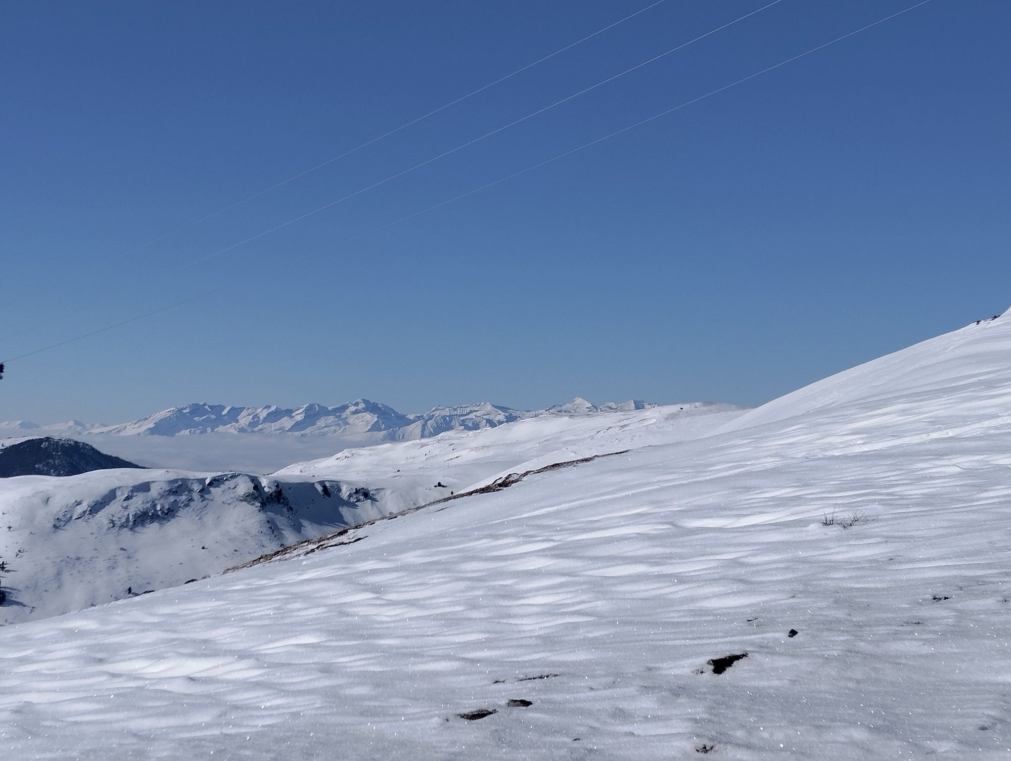

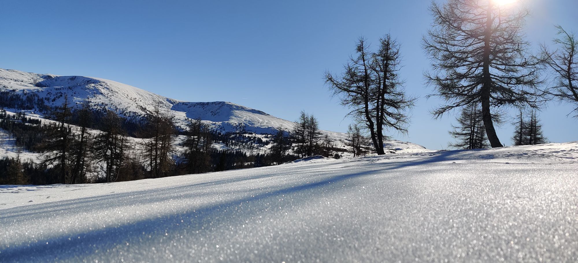
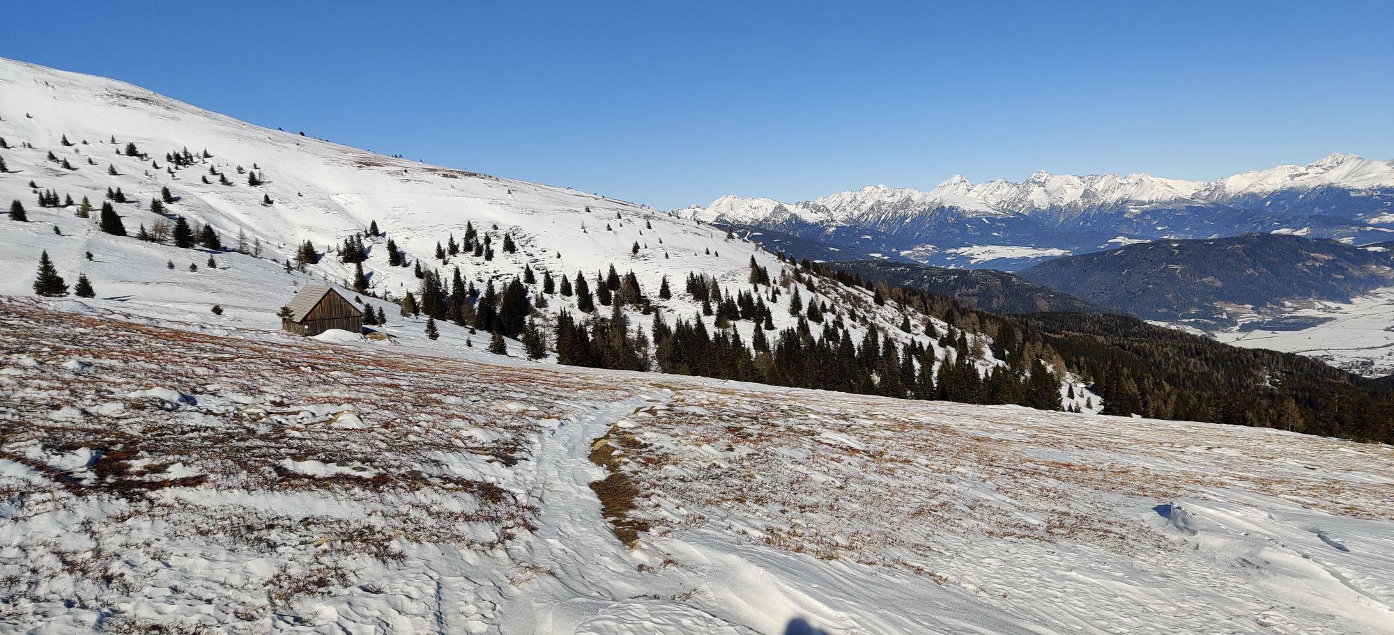


The first stage of the Nockberge-Trail offers a promising foretaste of the entire ski traverse: a comfortable ascent with a cable car, a wonderful mountain crossing with several ascents and descents and...
The first stage of the Nockberge-Trail offers a promising foretaste of the entire ski traverse: a comfortable ascent with a cable car, a wonderful mountain crossing with several ascents and descents and final carving turns on a groomed piste to the day's destination.
Tip:
Hike carefree on the Nockberge-Trail! The official Nockberge-Trail Info & Booking Center with the award-winning Trail Angels team will be happy to support you. Whether you are an advanced hiker or a beginner, the competent and helpful booking center team is there to help. Especially if they want to combine personal freedom and a longing for something special with service, comfort and safety on their hike.
Information and booking:
Official Nockberge-Trail Info & Booking Center
powered by Trail Angels
Obervellach 15, 9821 Obervellach
+43 4782 93093
info@nockberge-trail.com
www.nockberge-trail.com
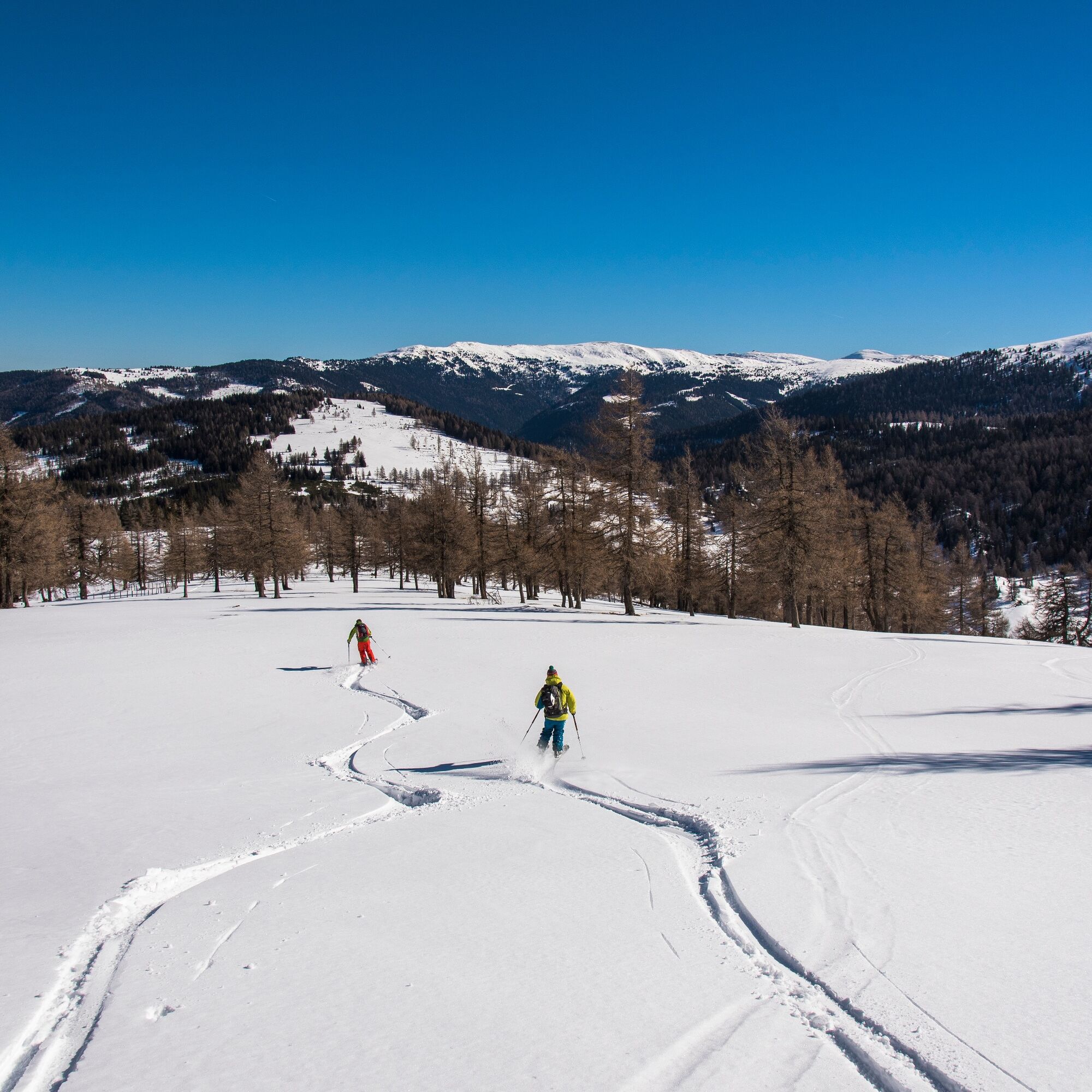
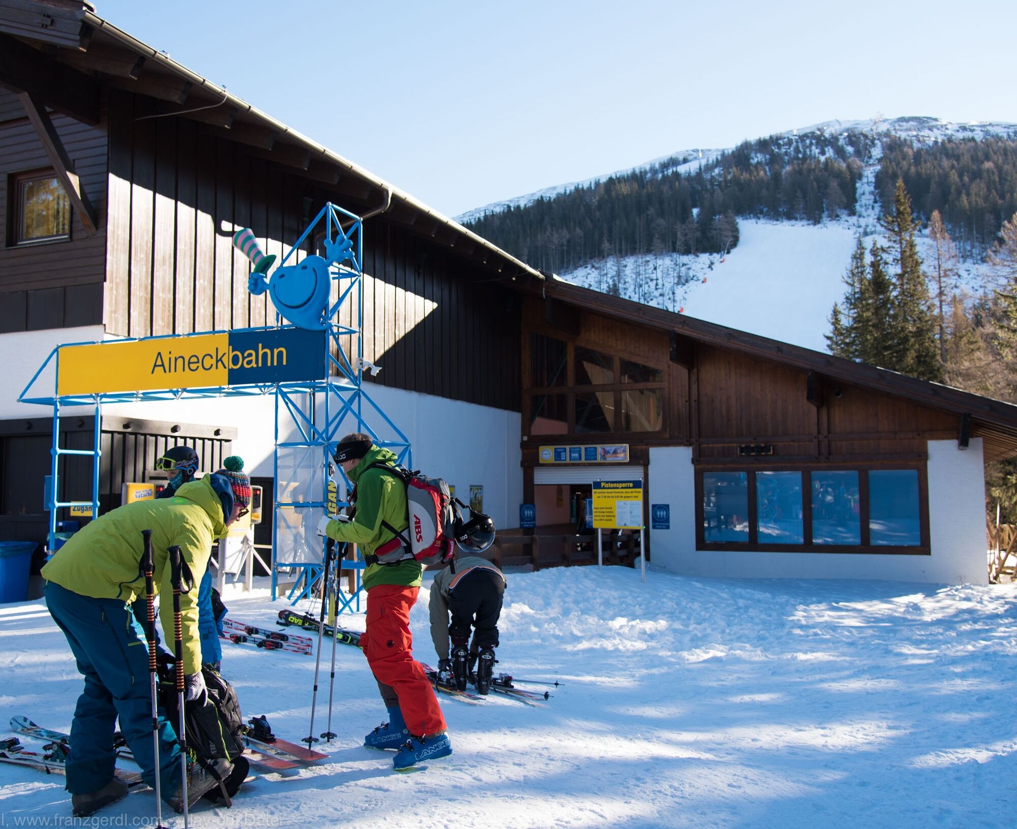
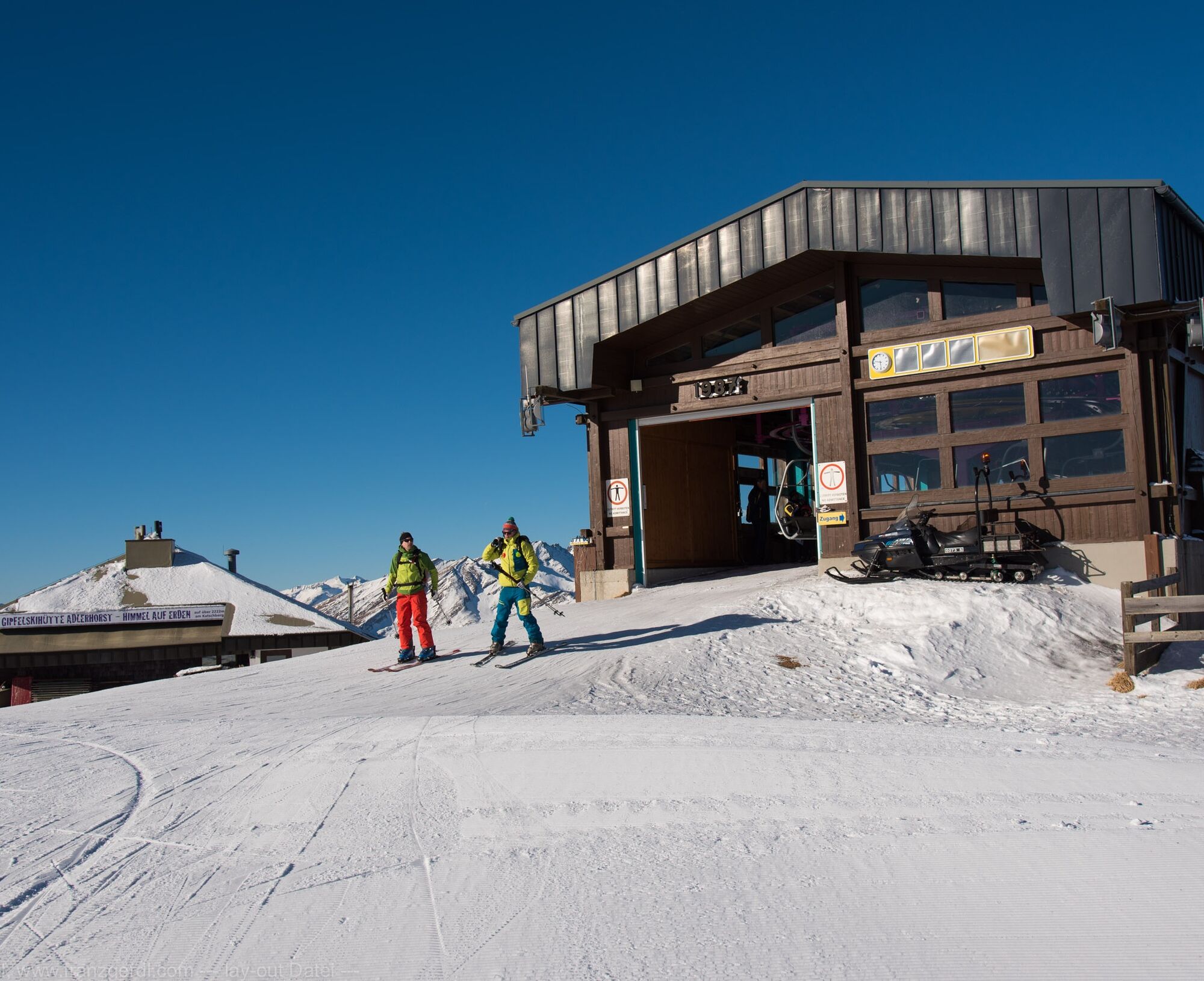
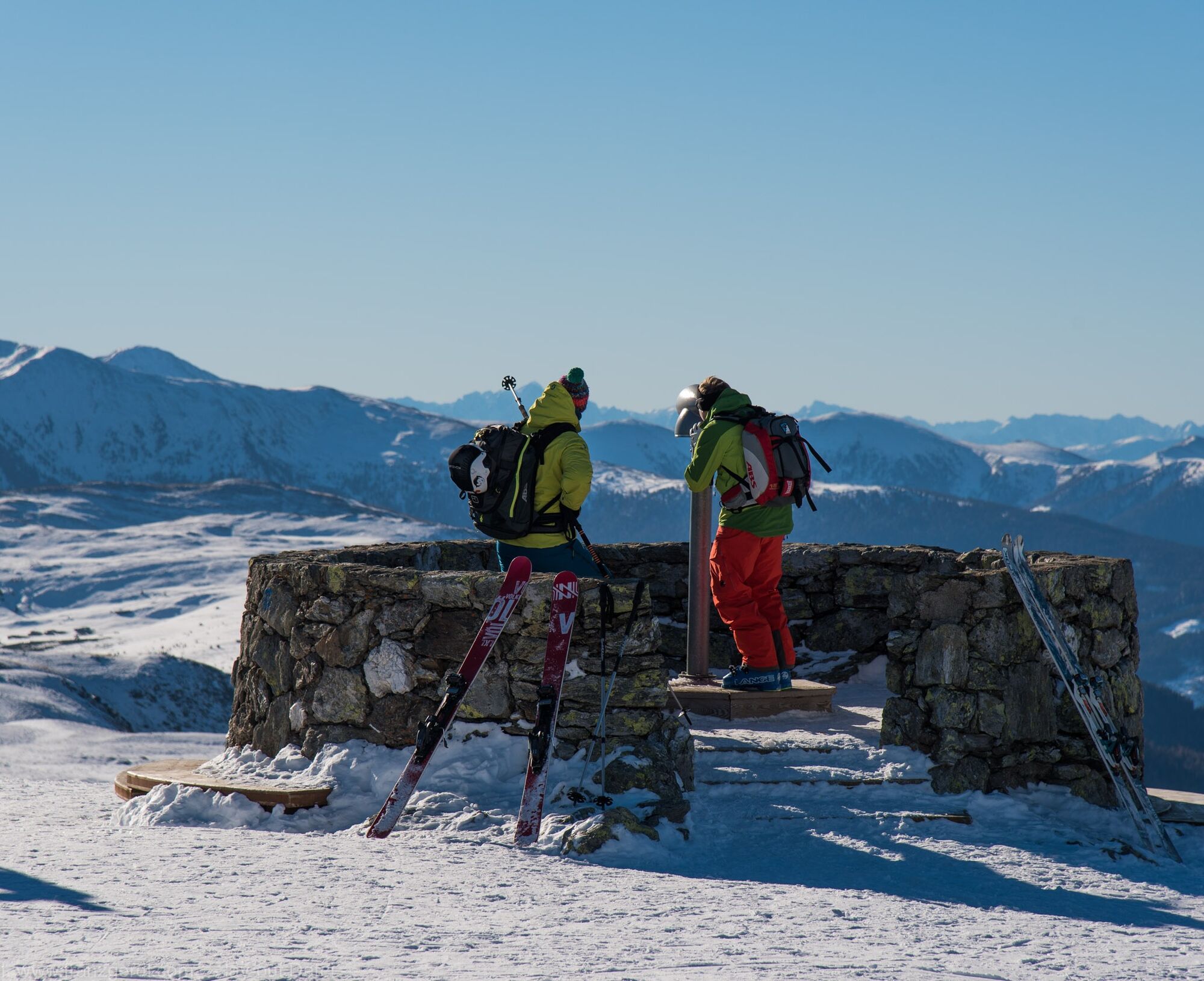

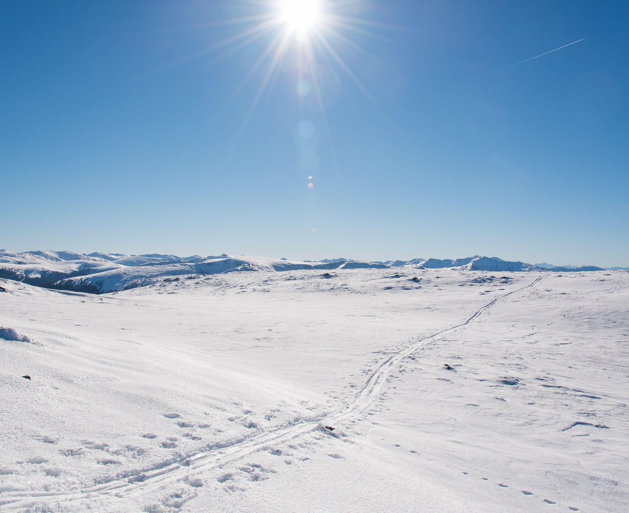
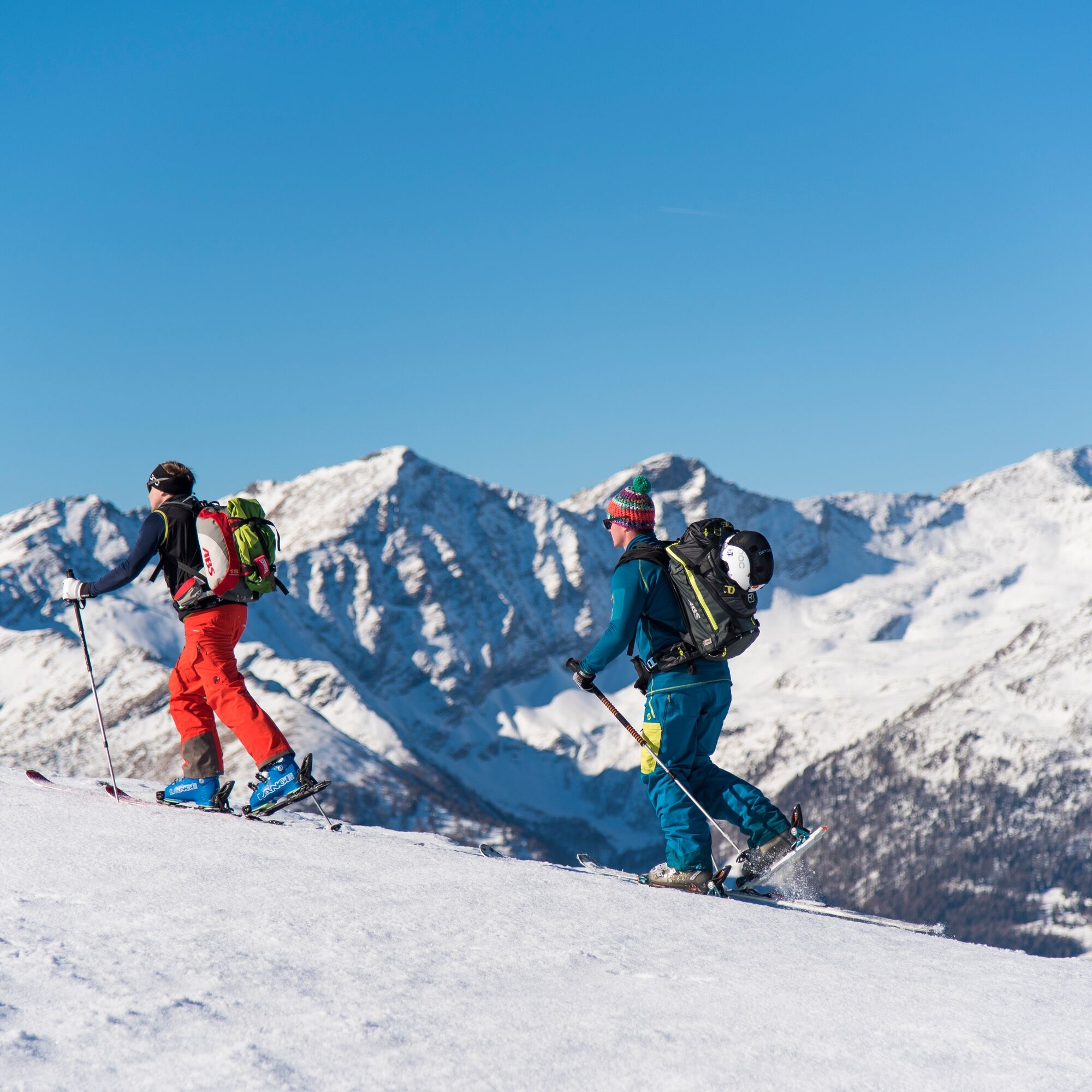
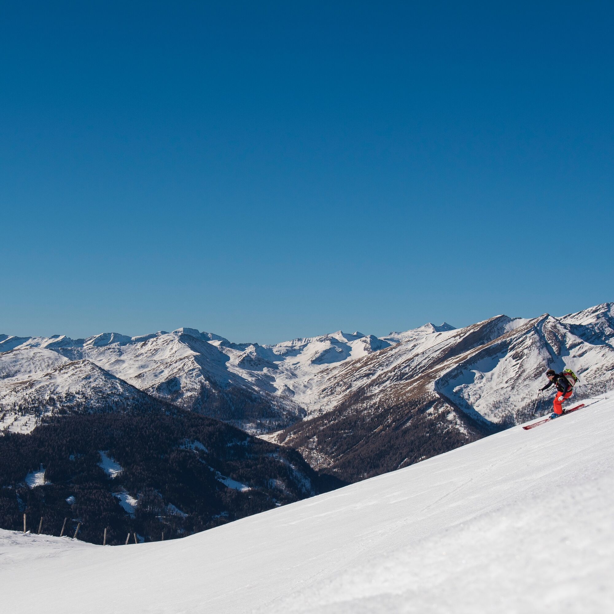
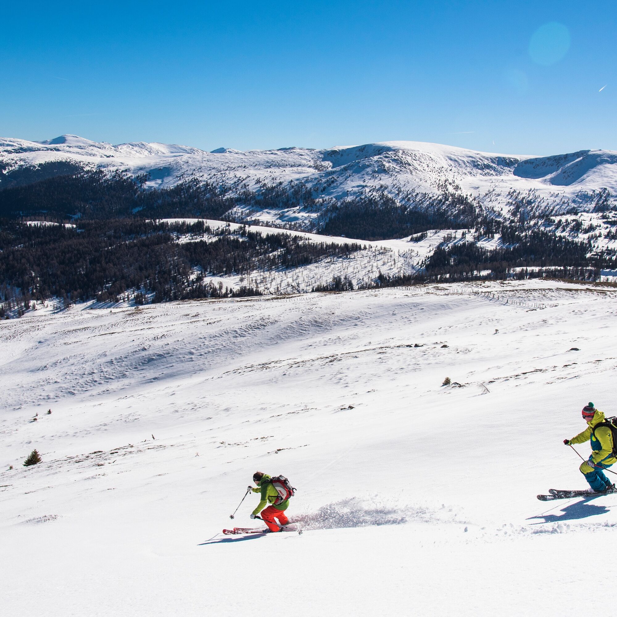
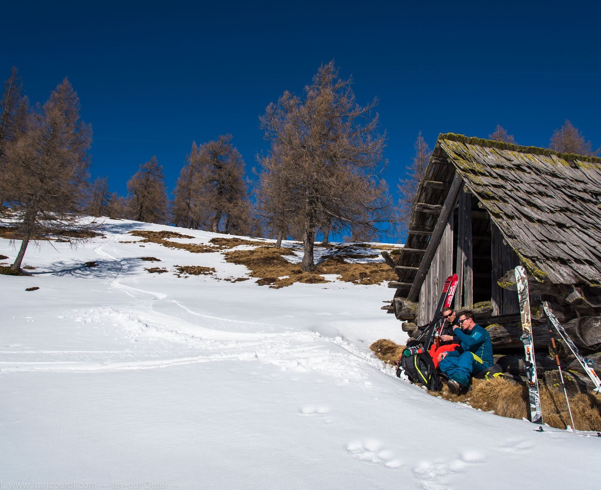
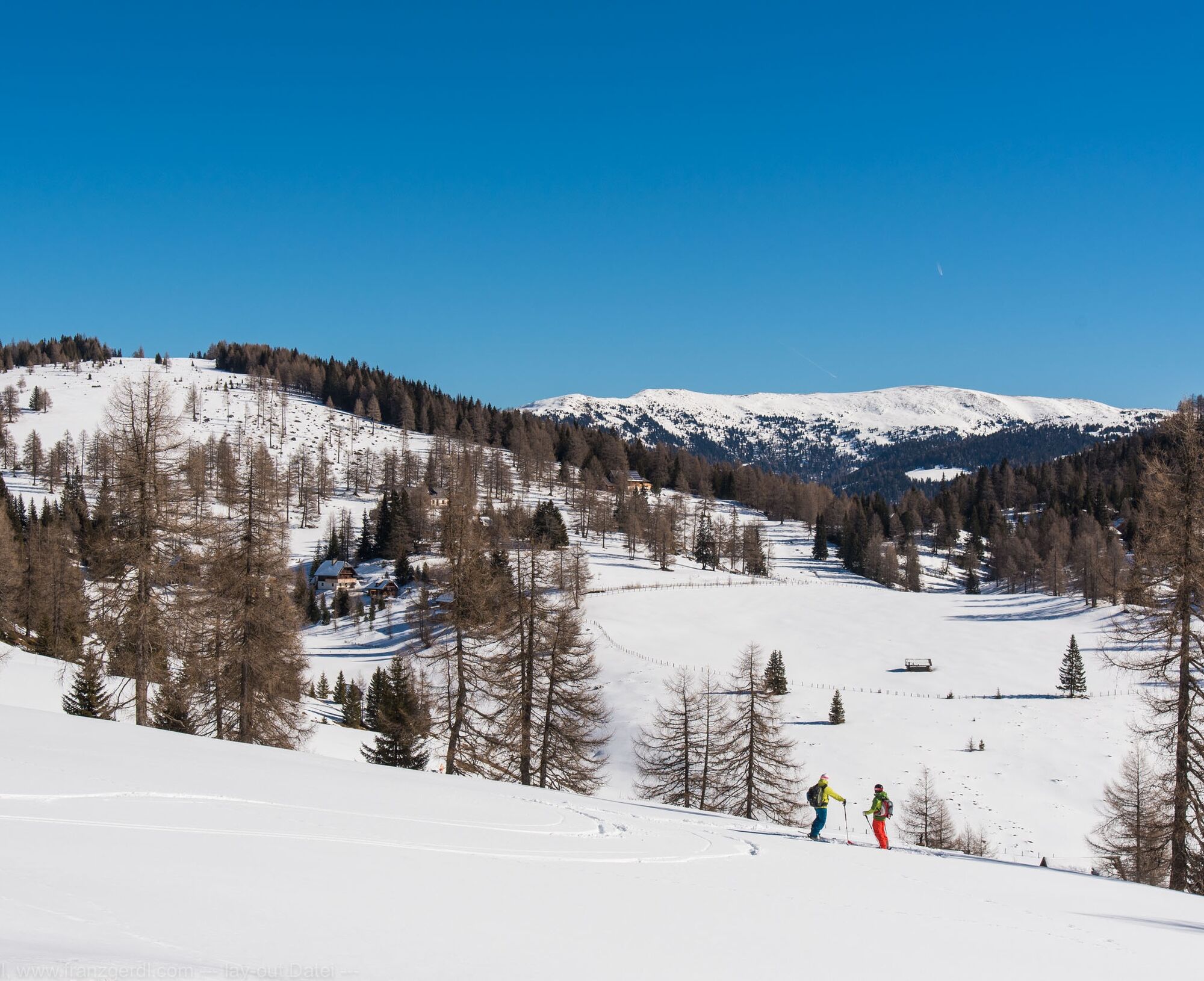
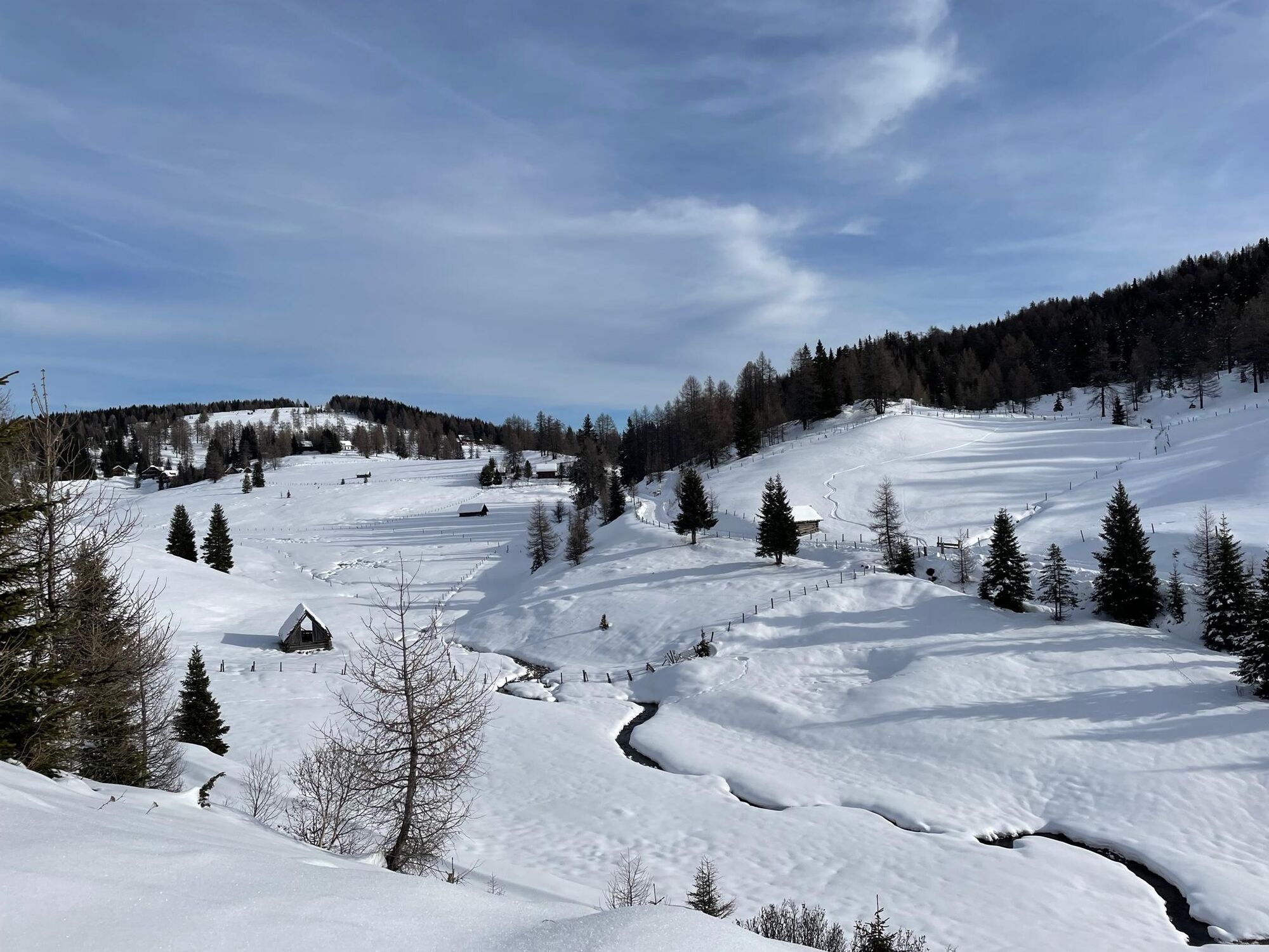

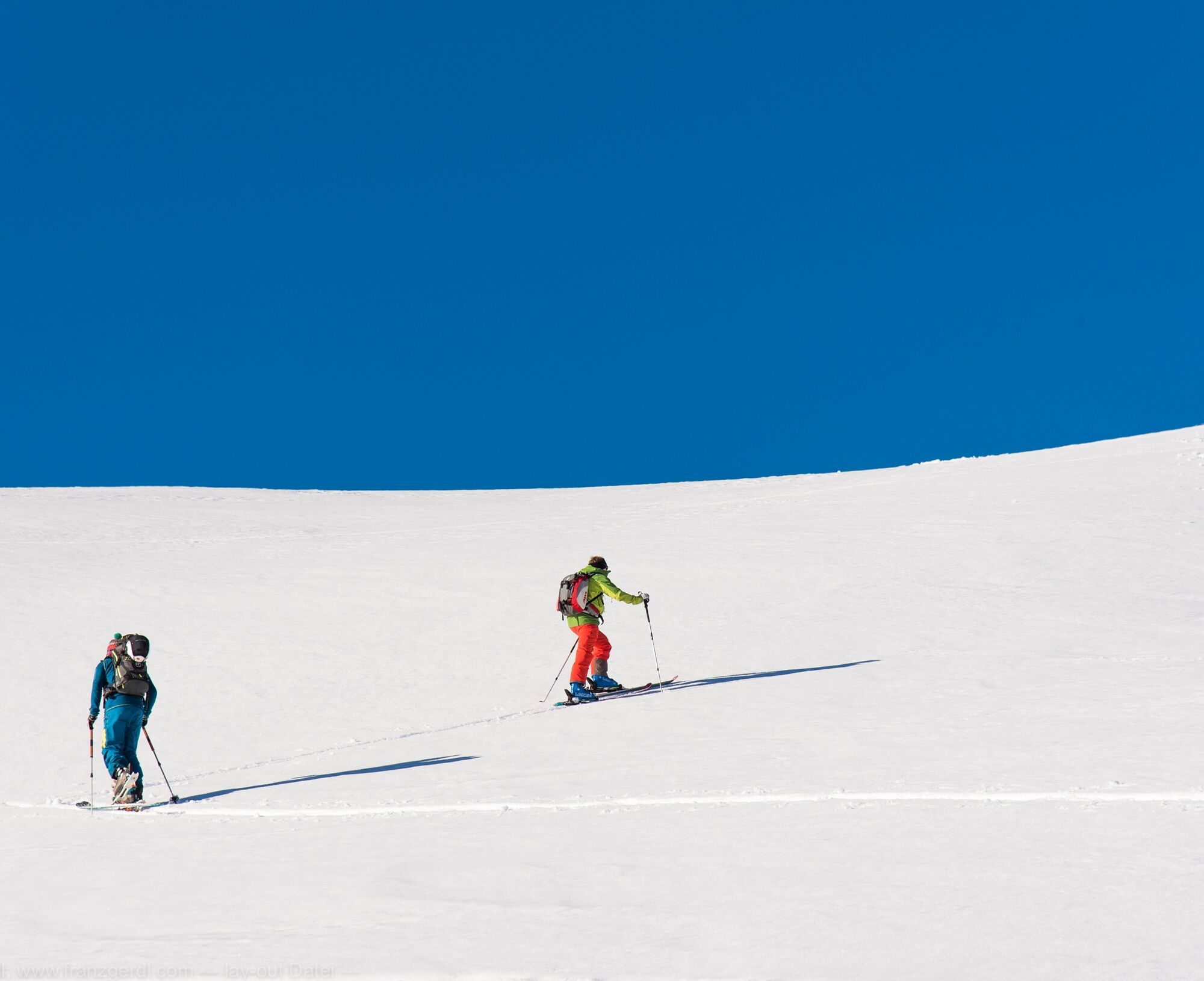
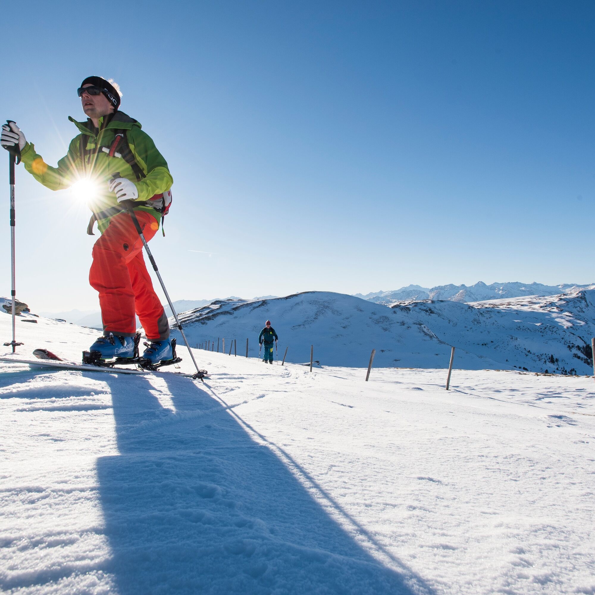
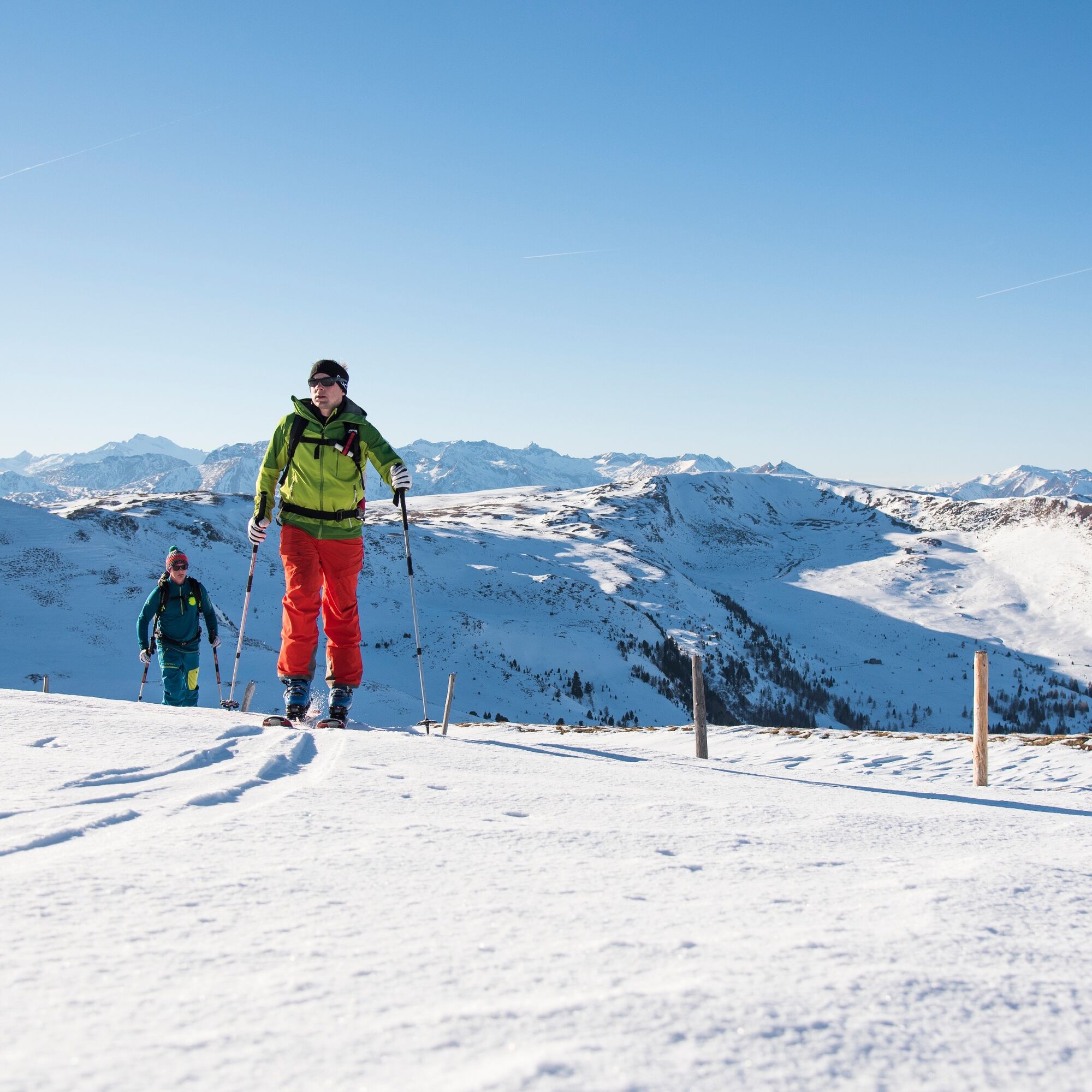
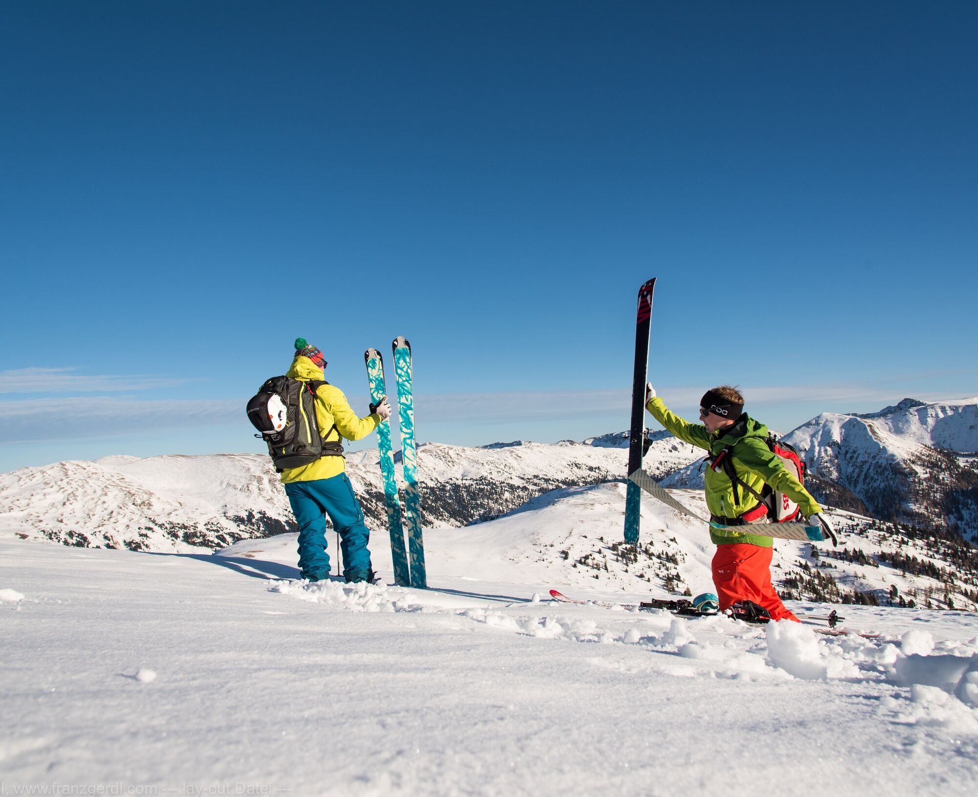
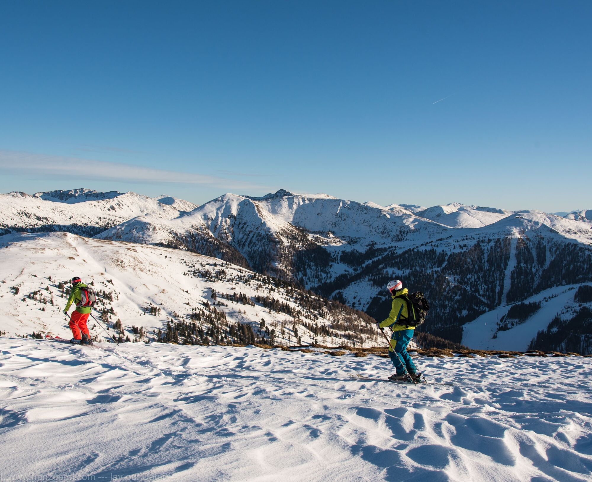
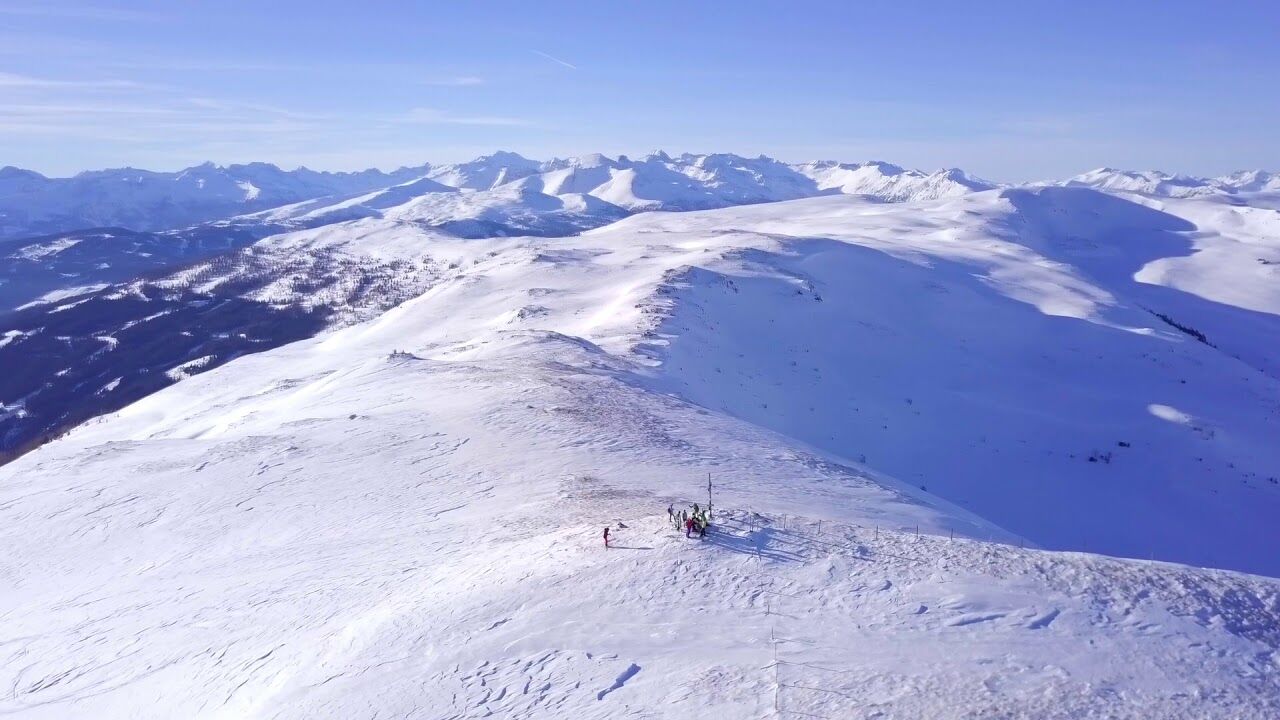
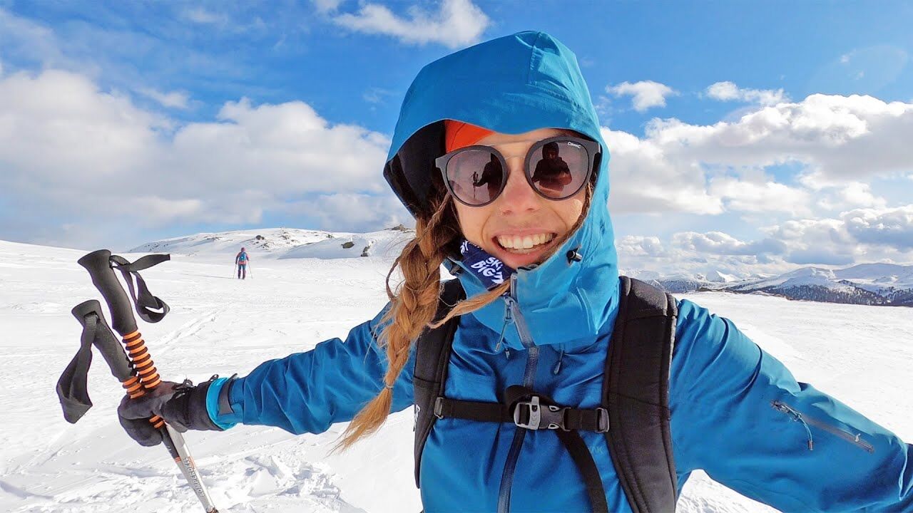

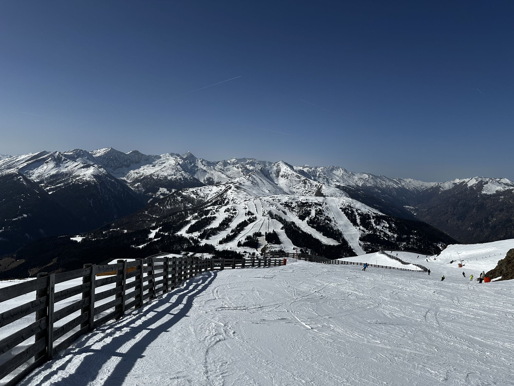
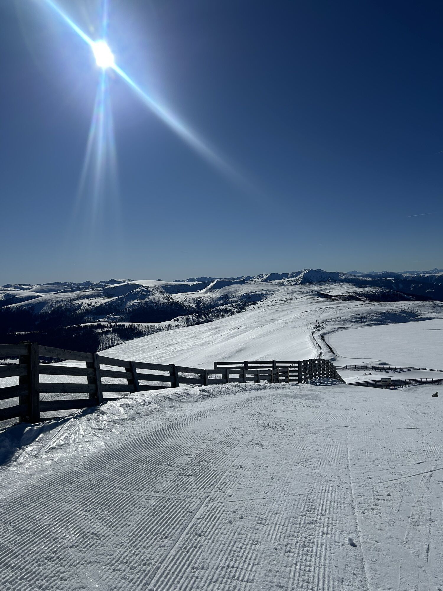
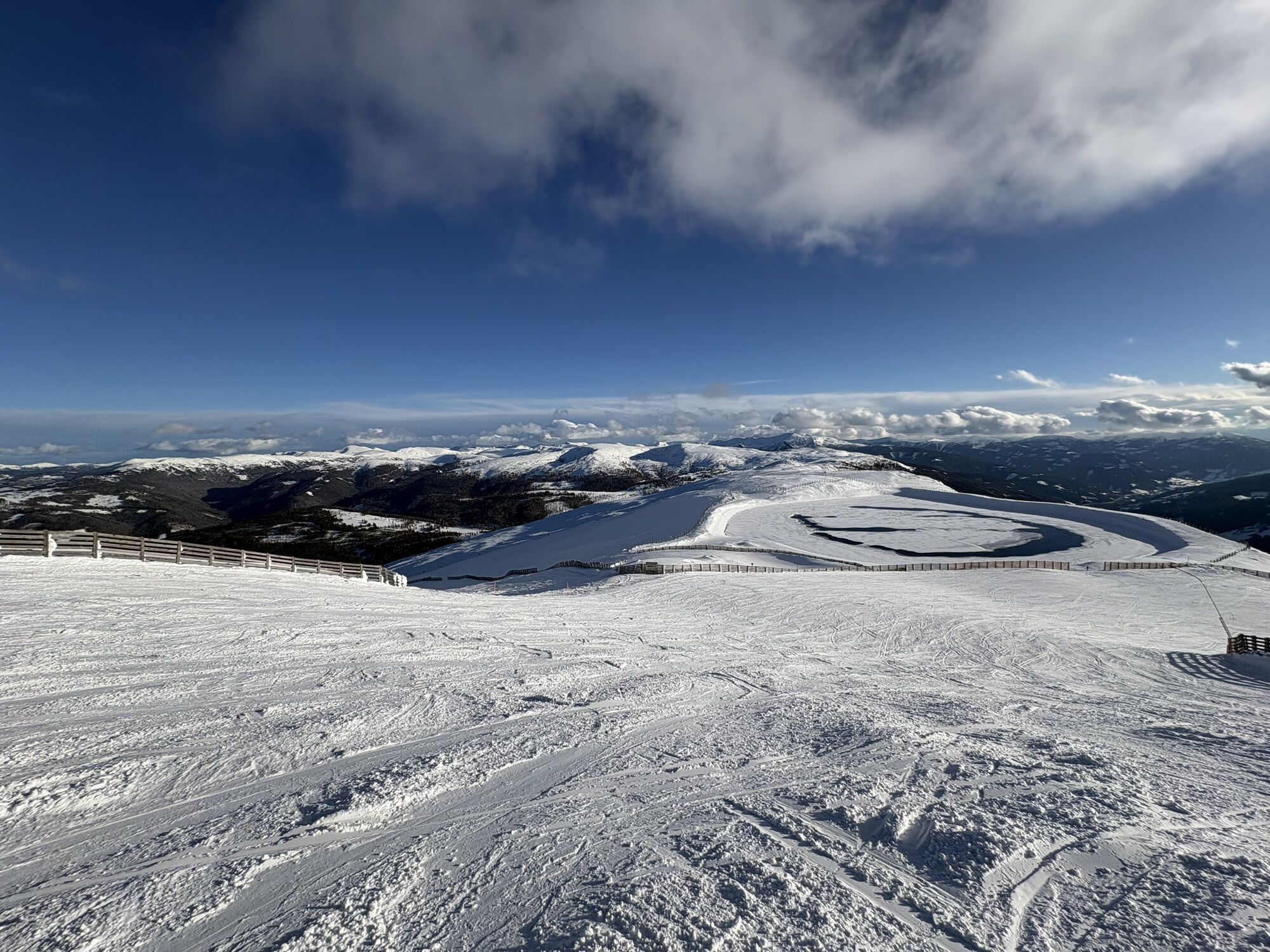
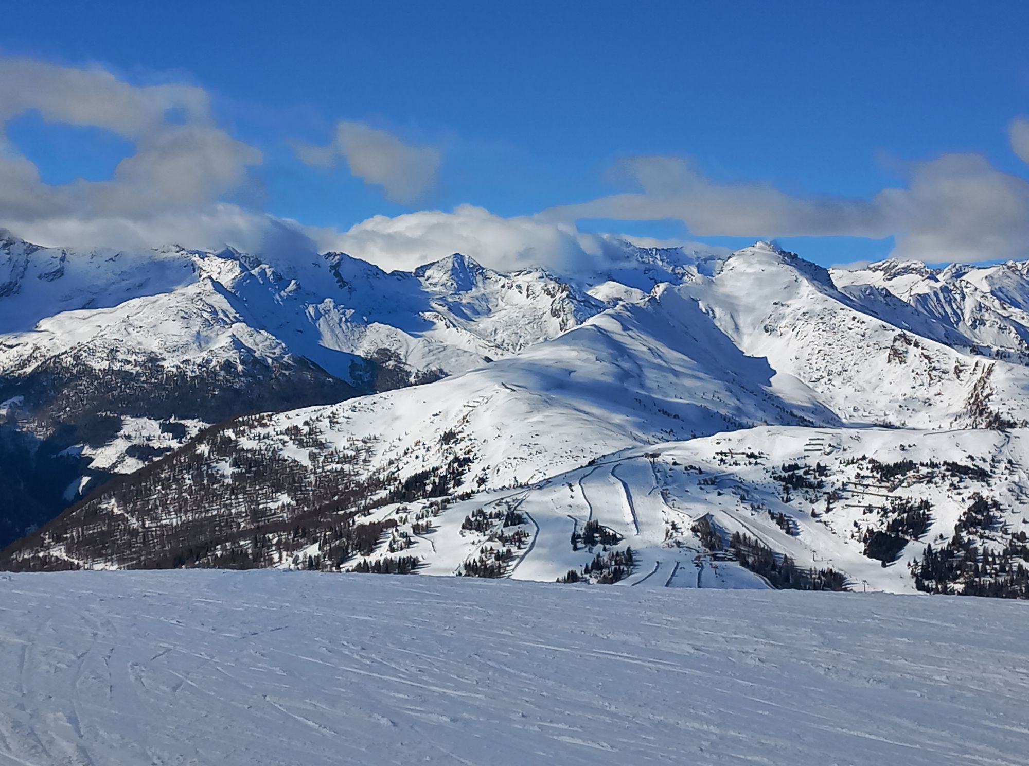
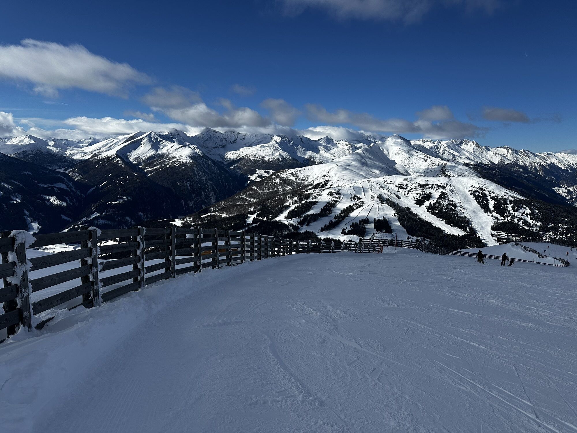
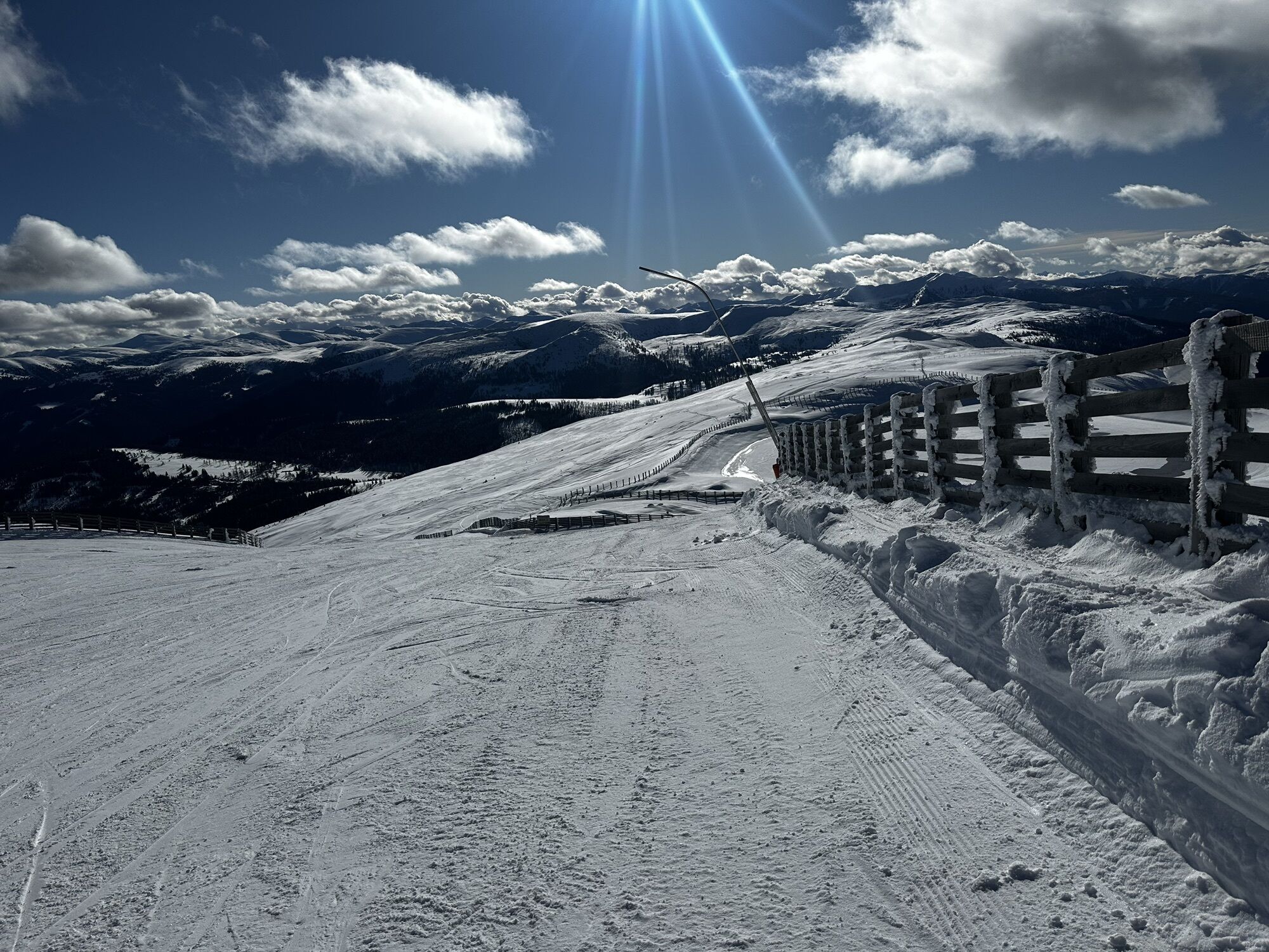
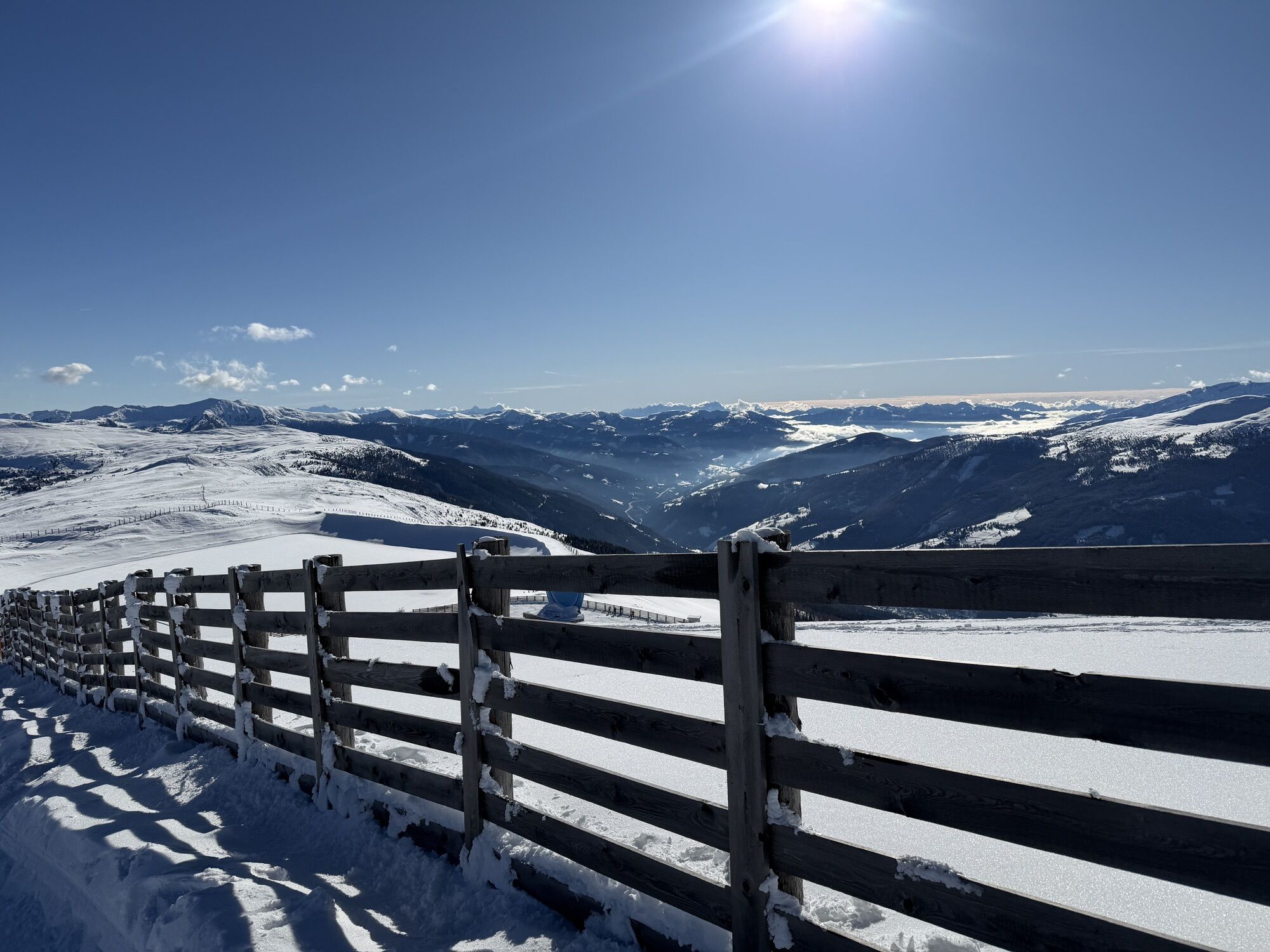
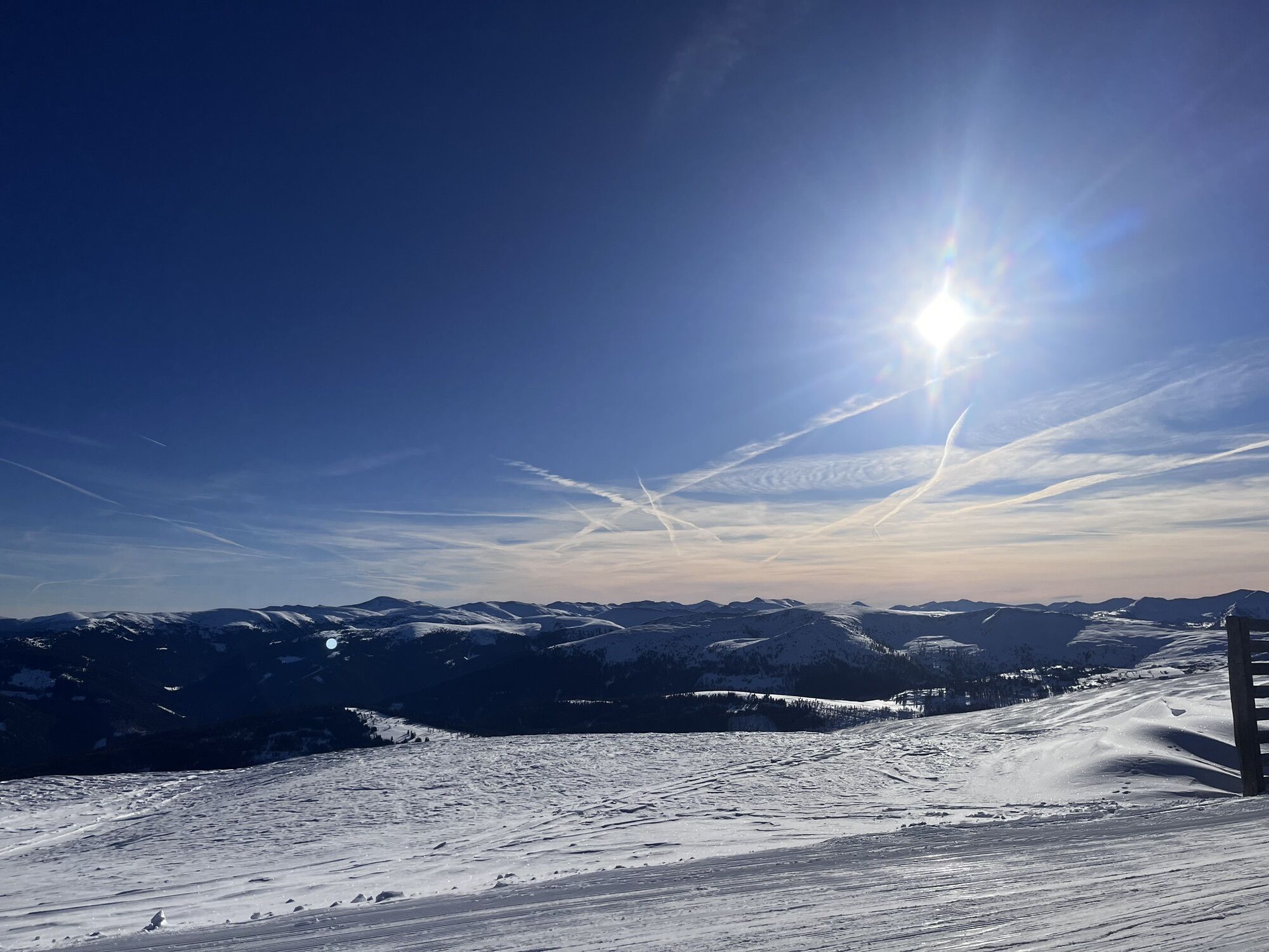
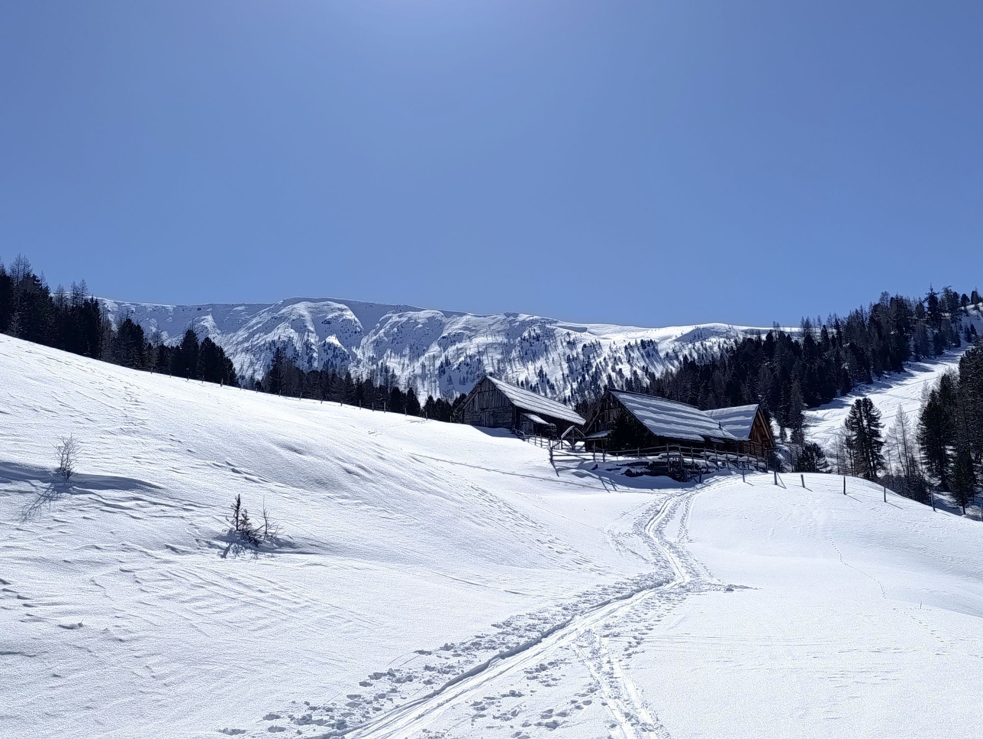
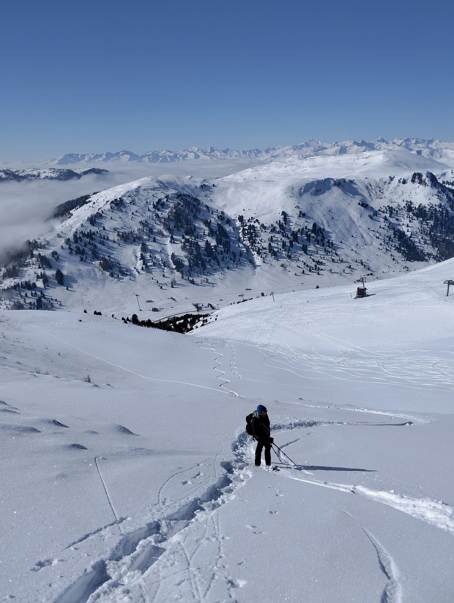
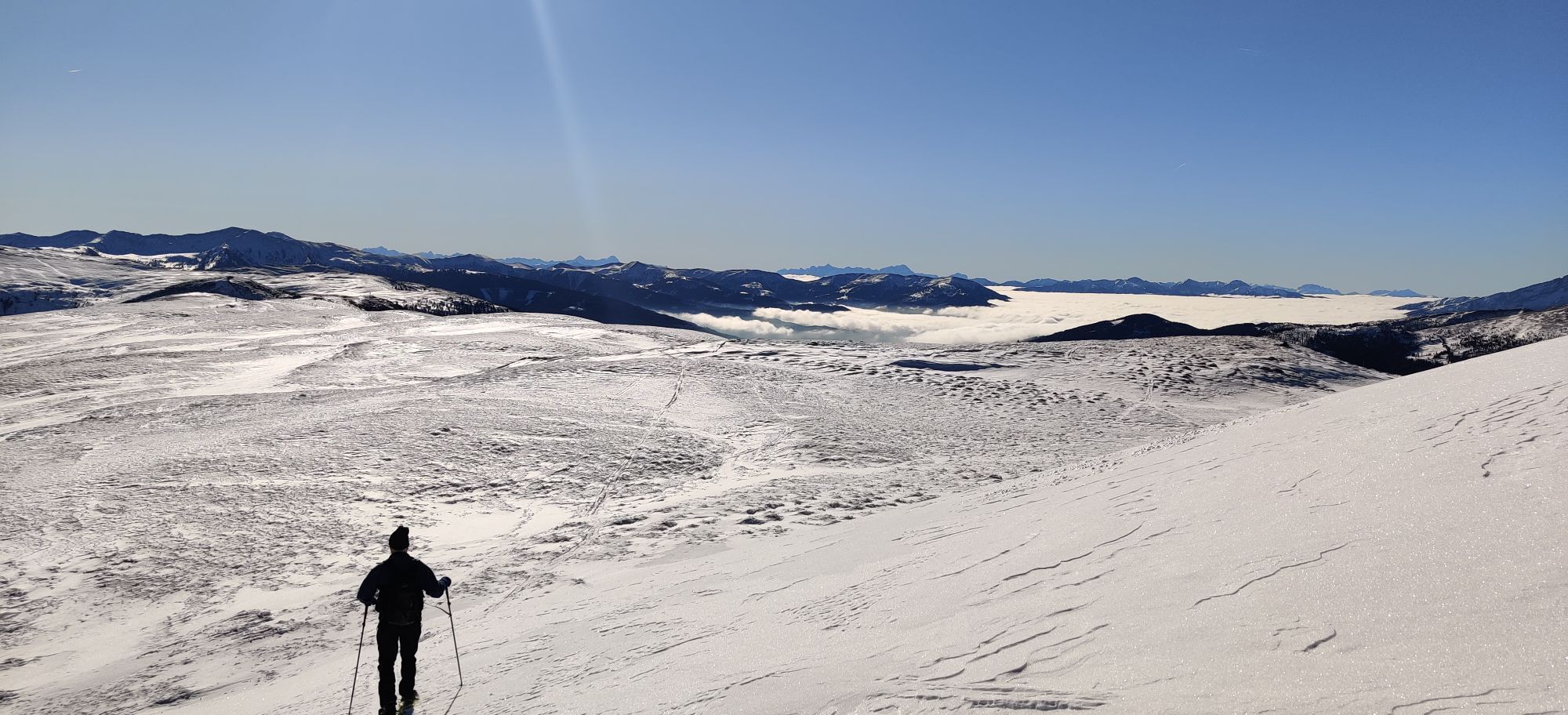
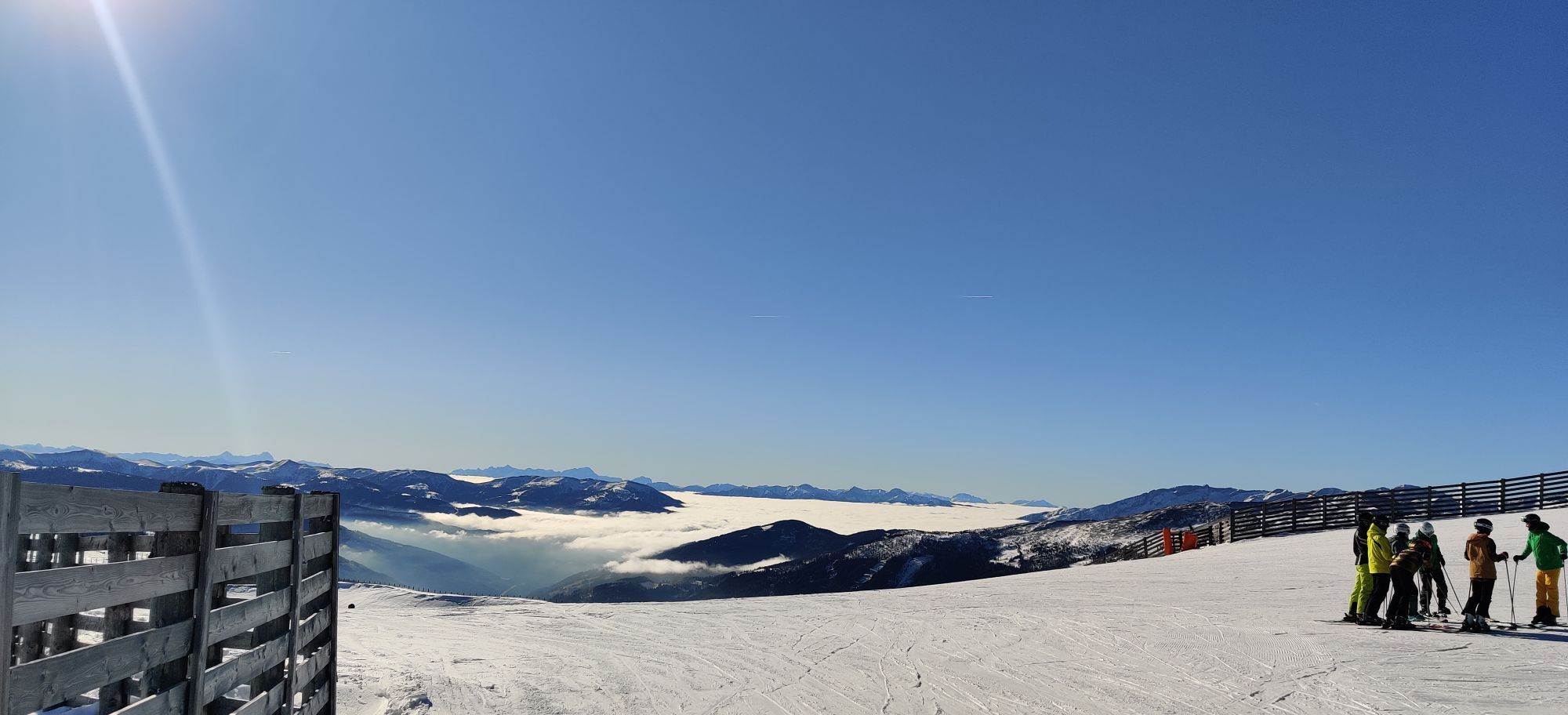
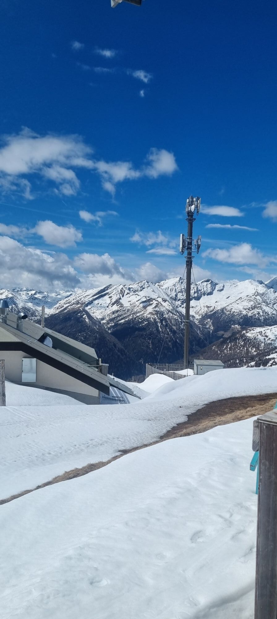
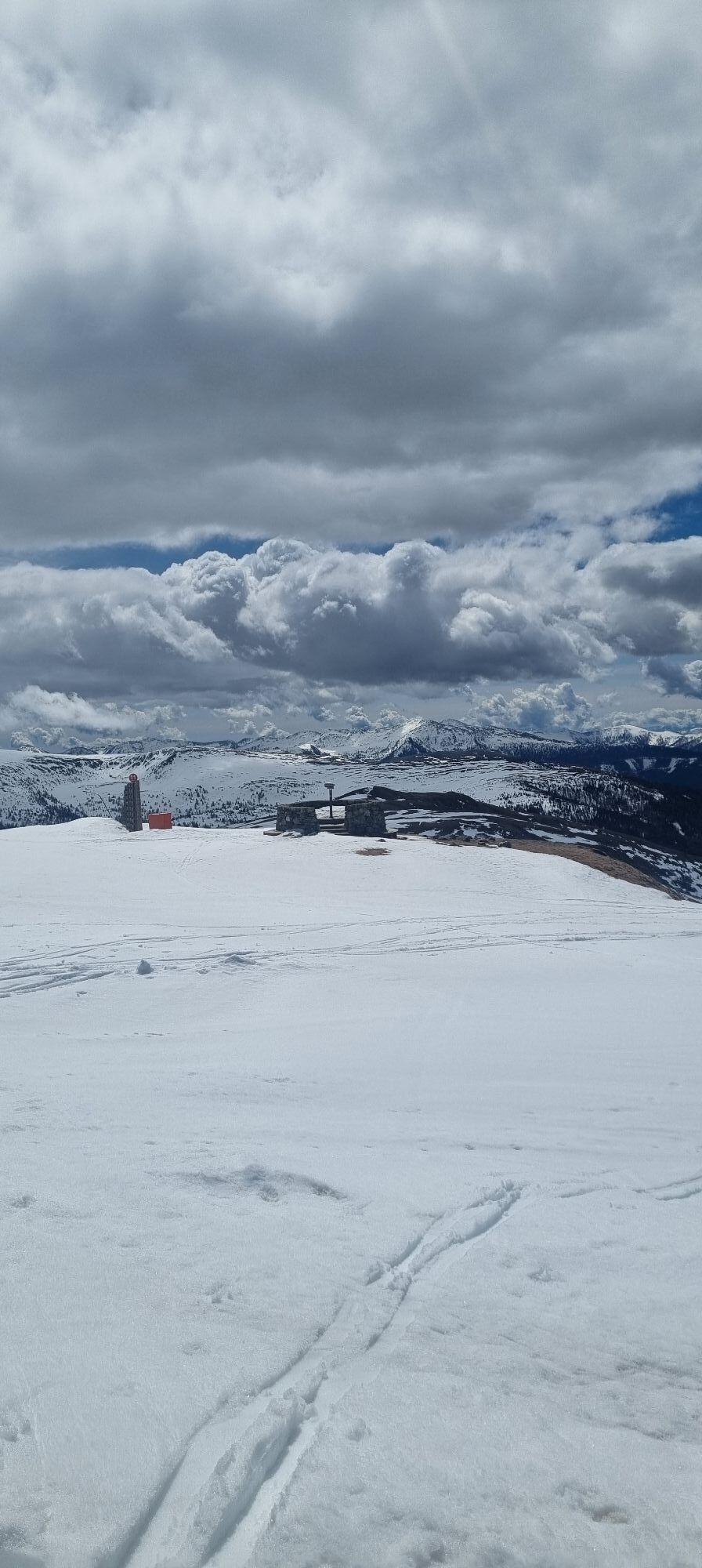
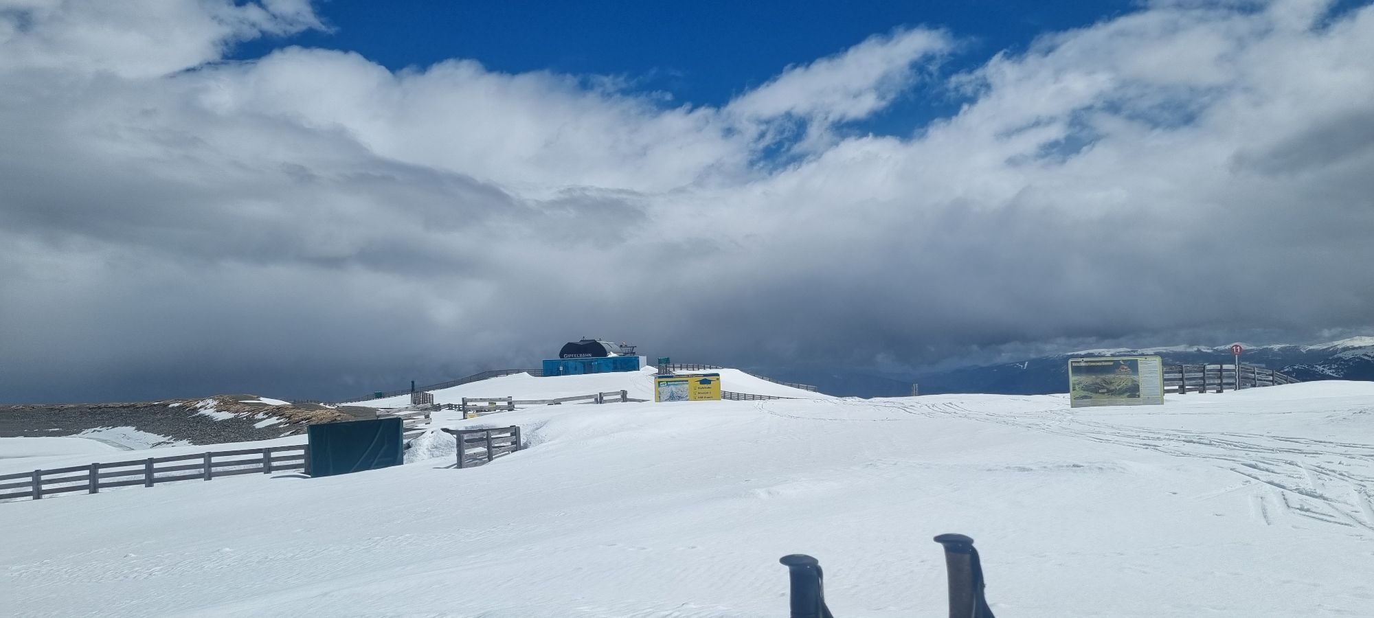
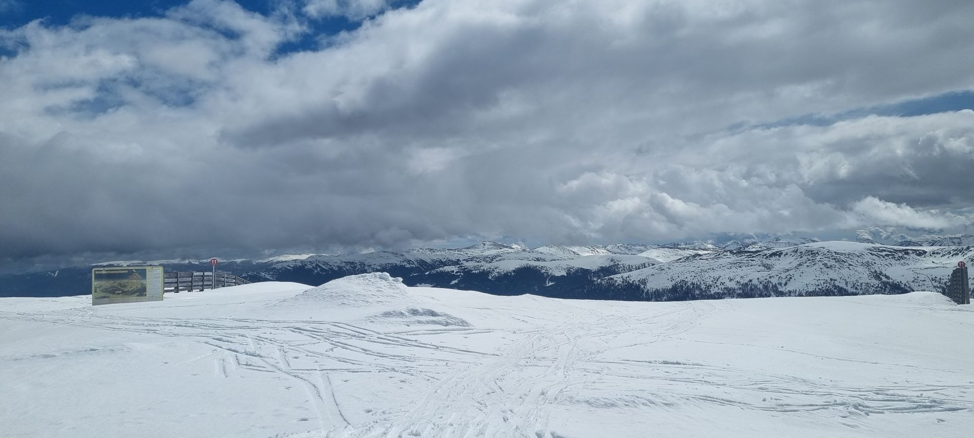
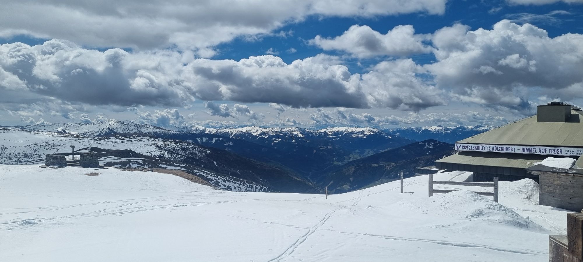
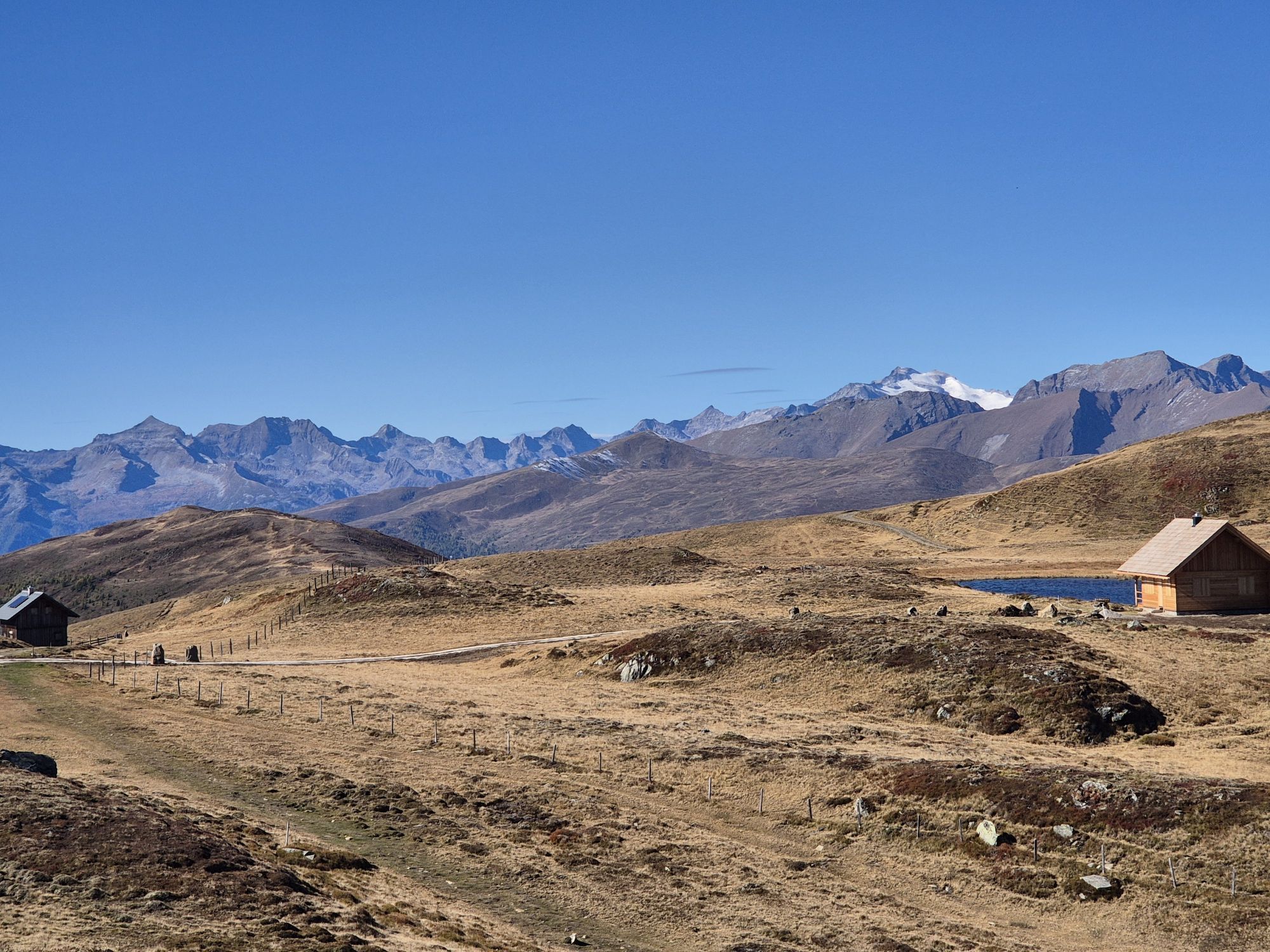
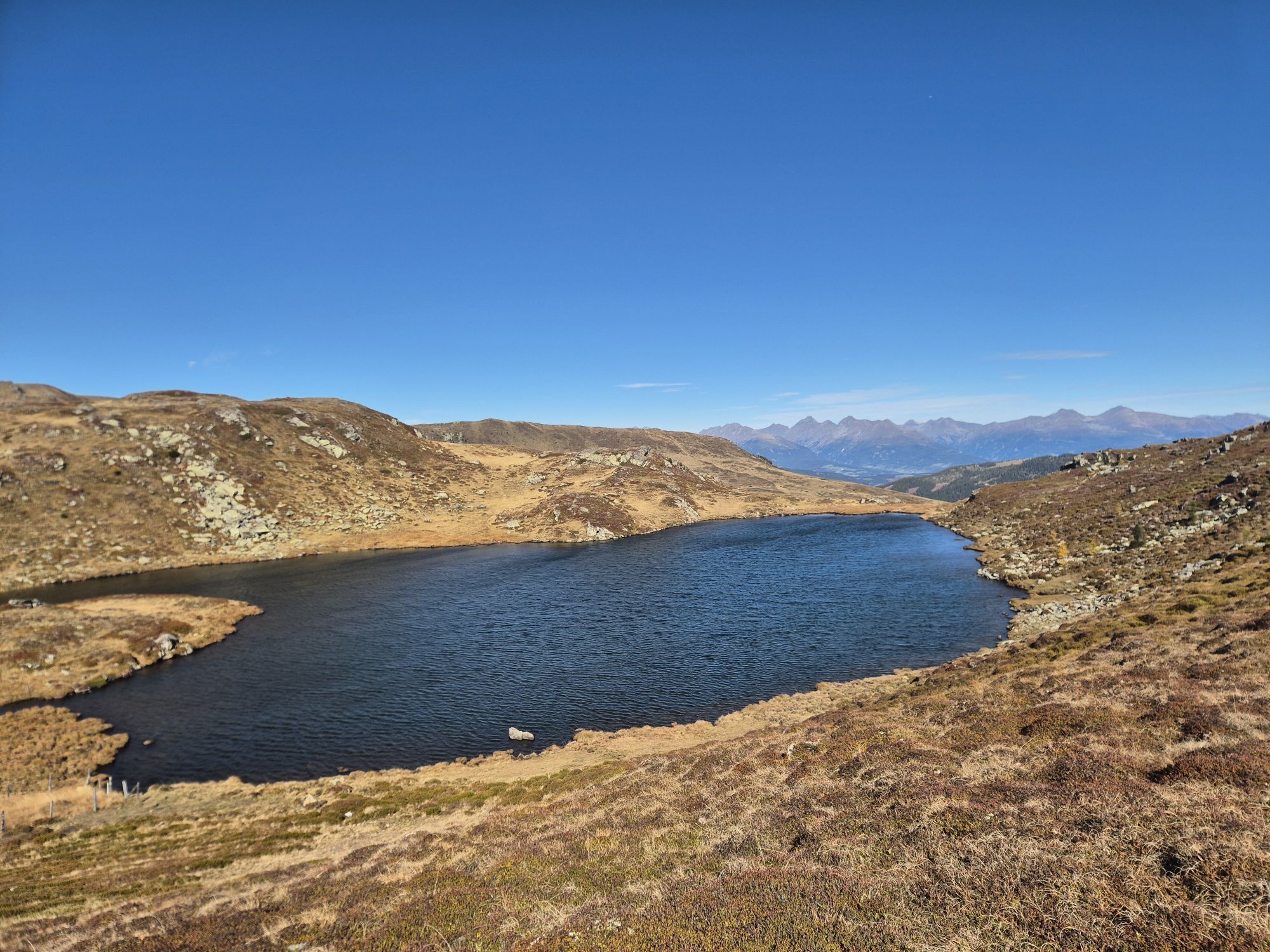
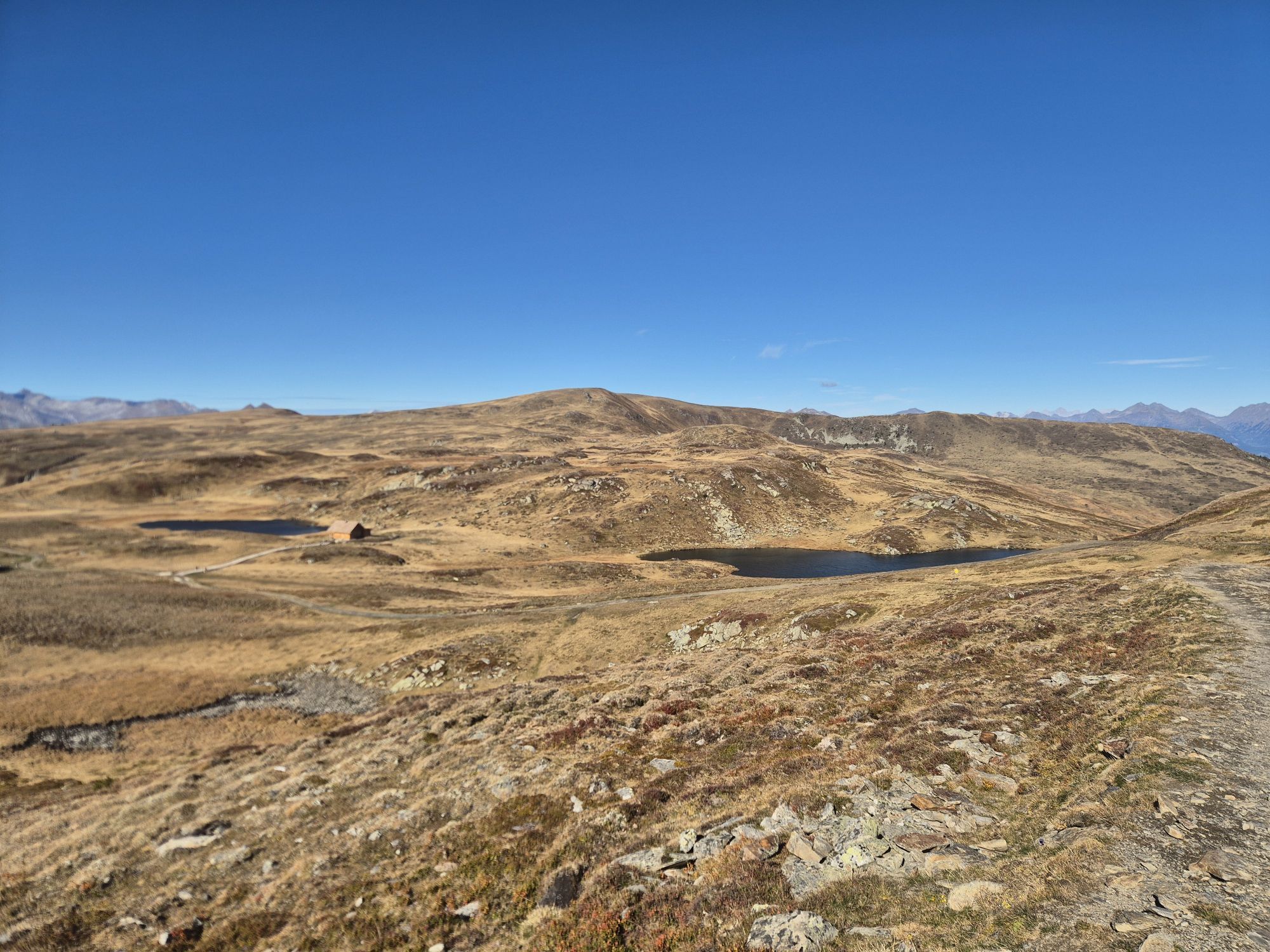
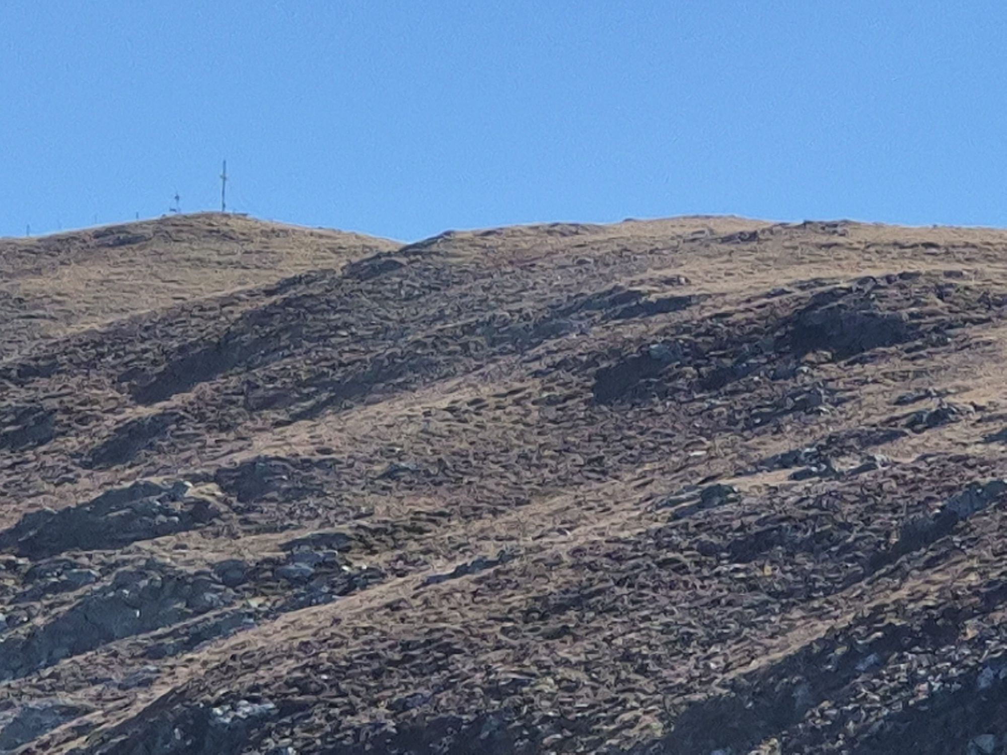
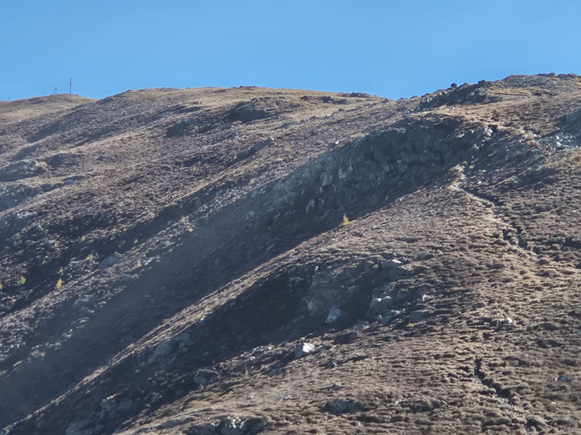
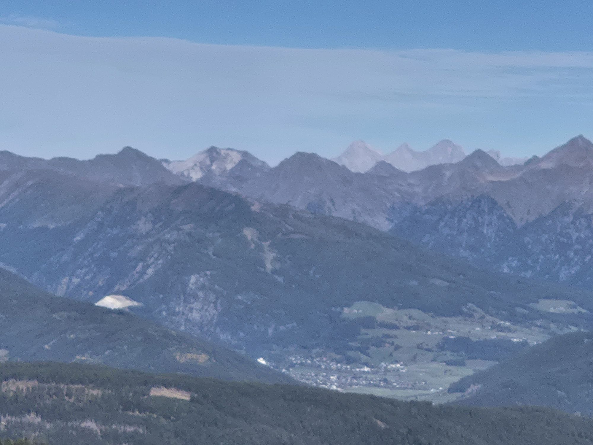
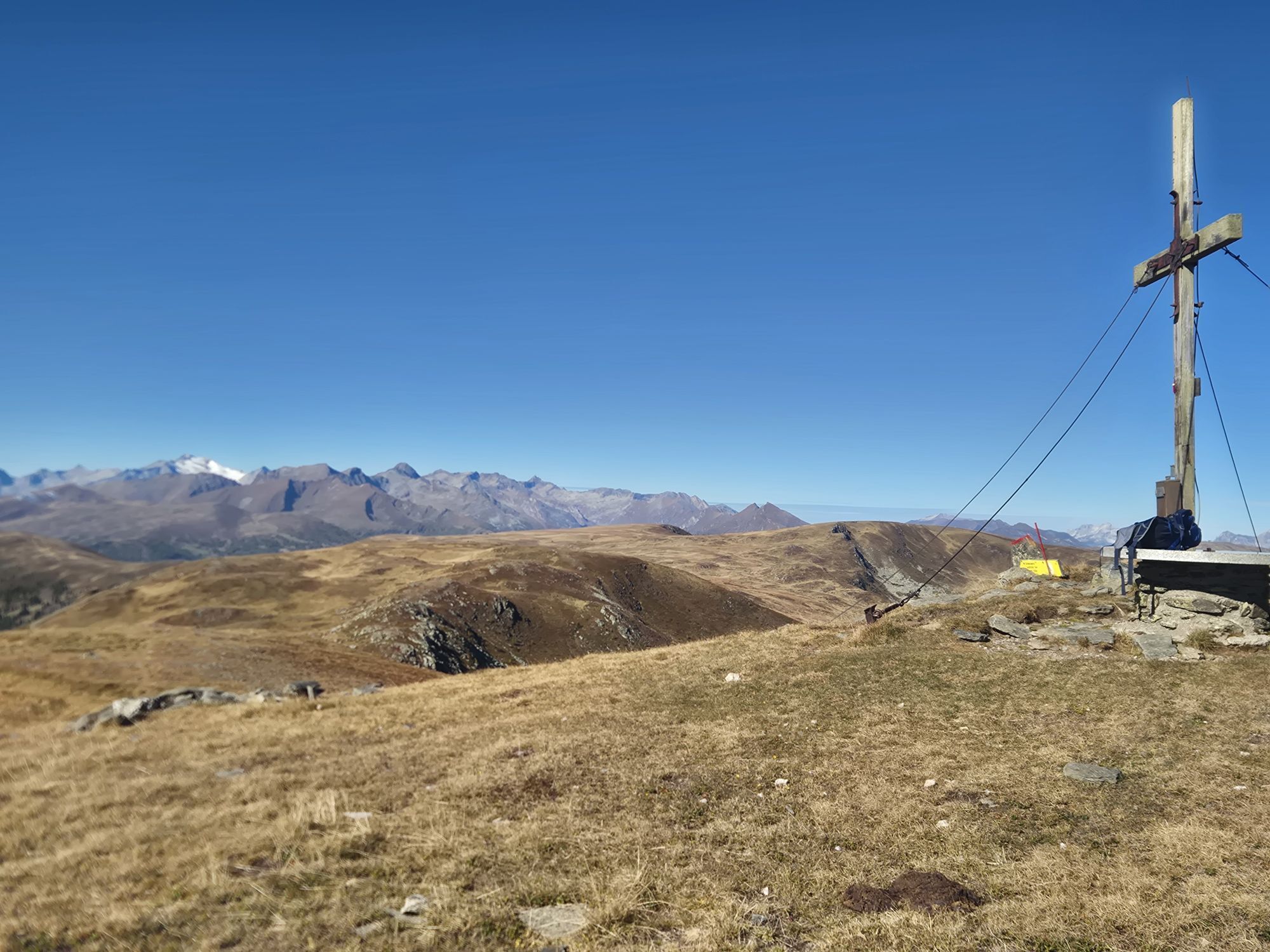
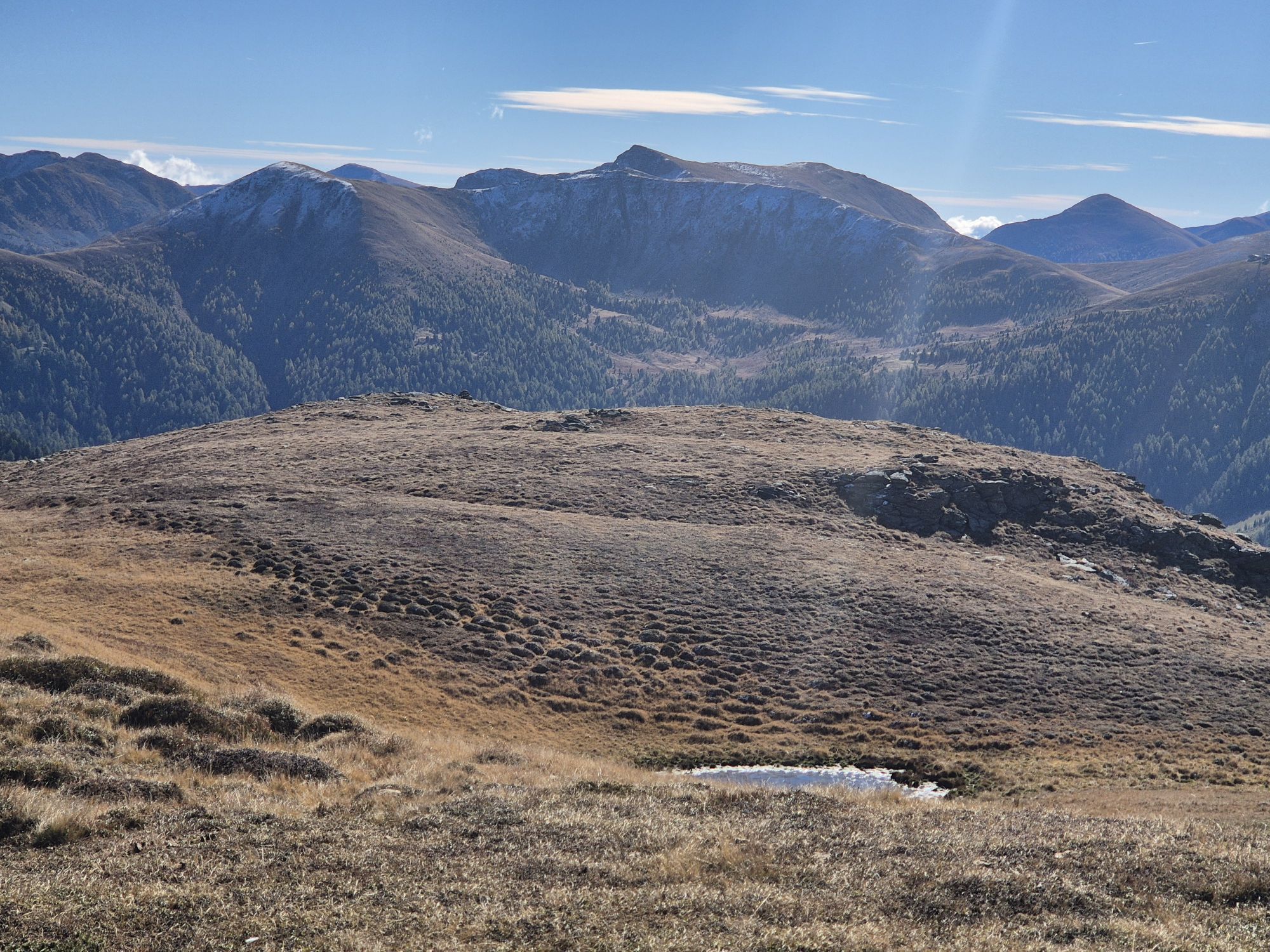
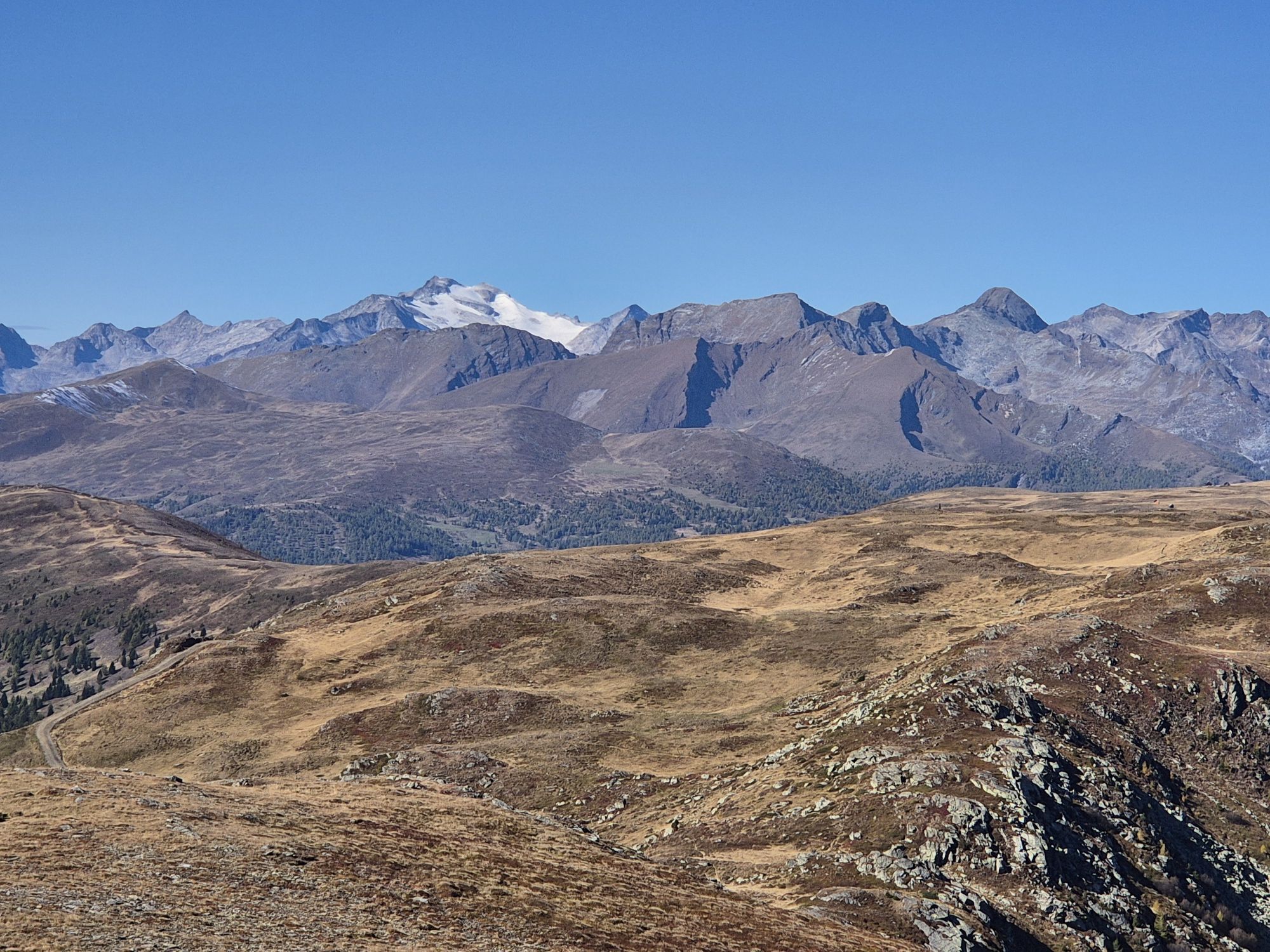
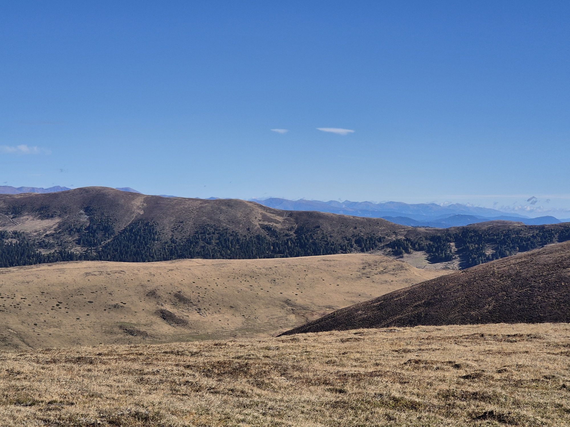
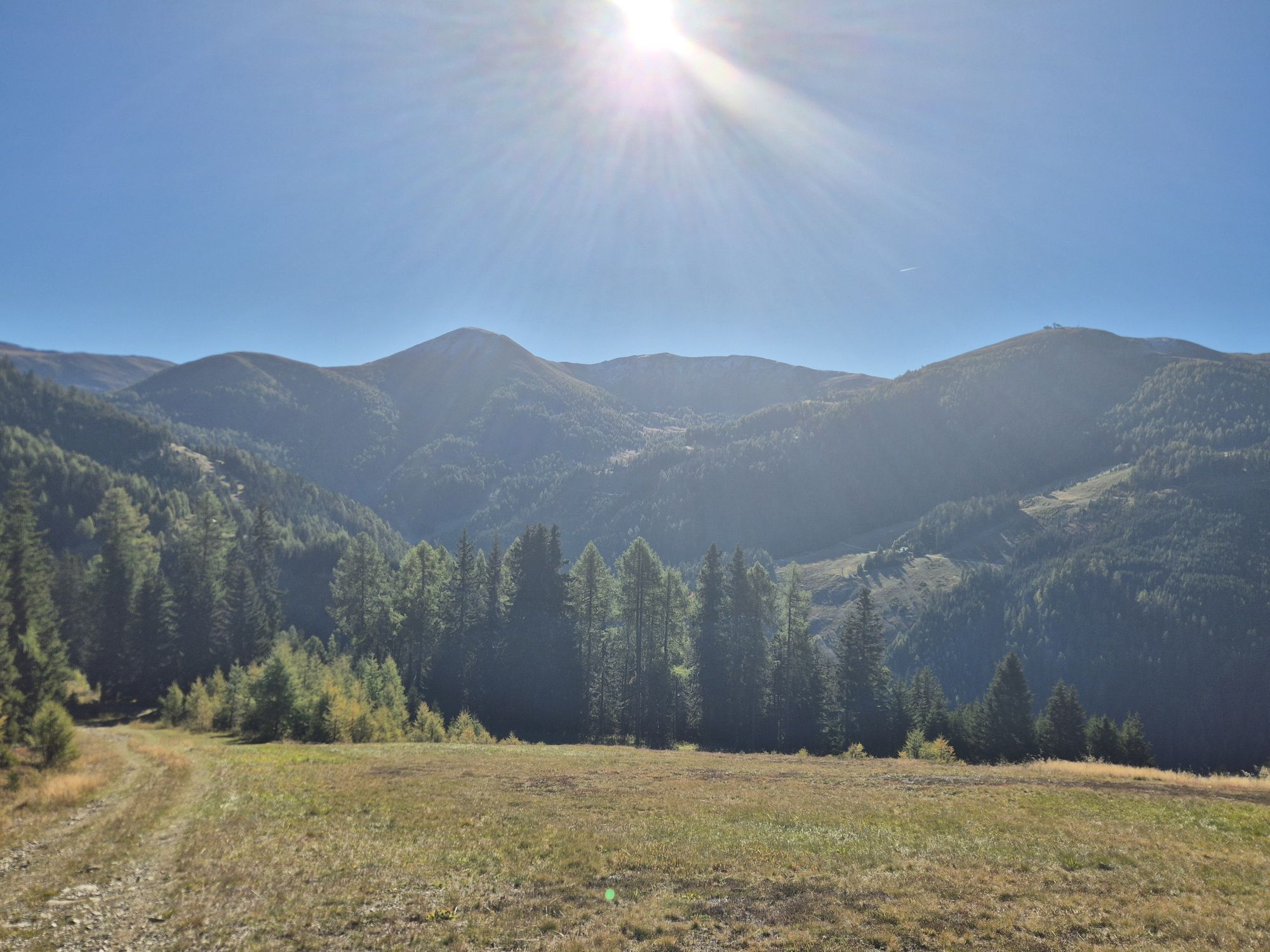
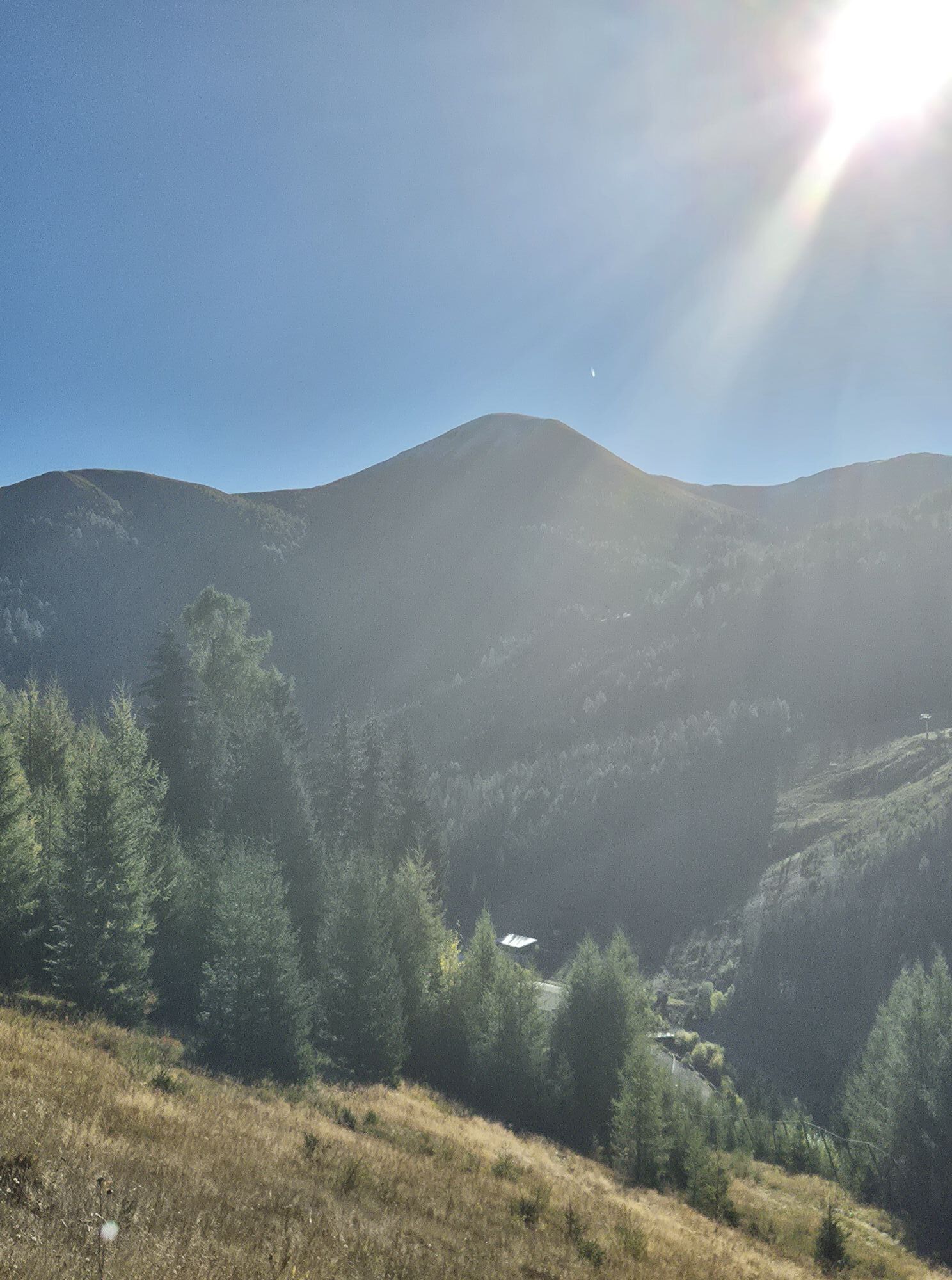
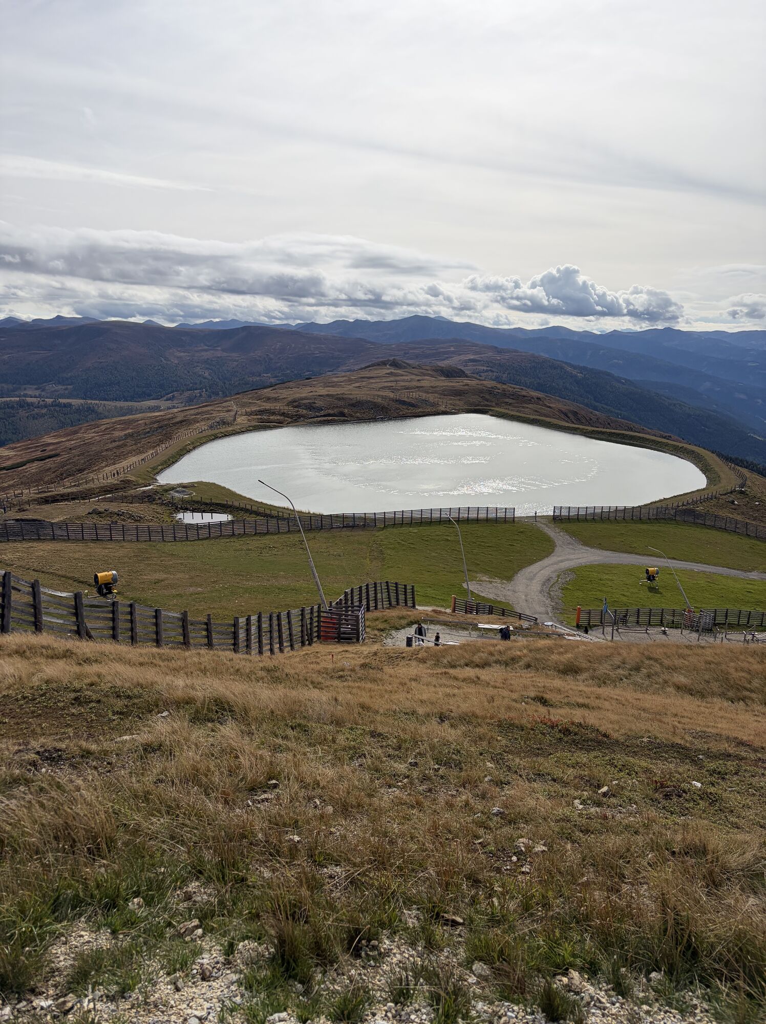
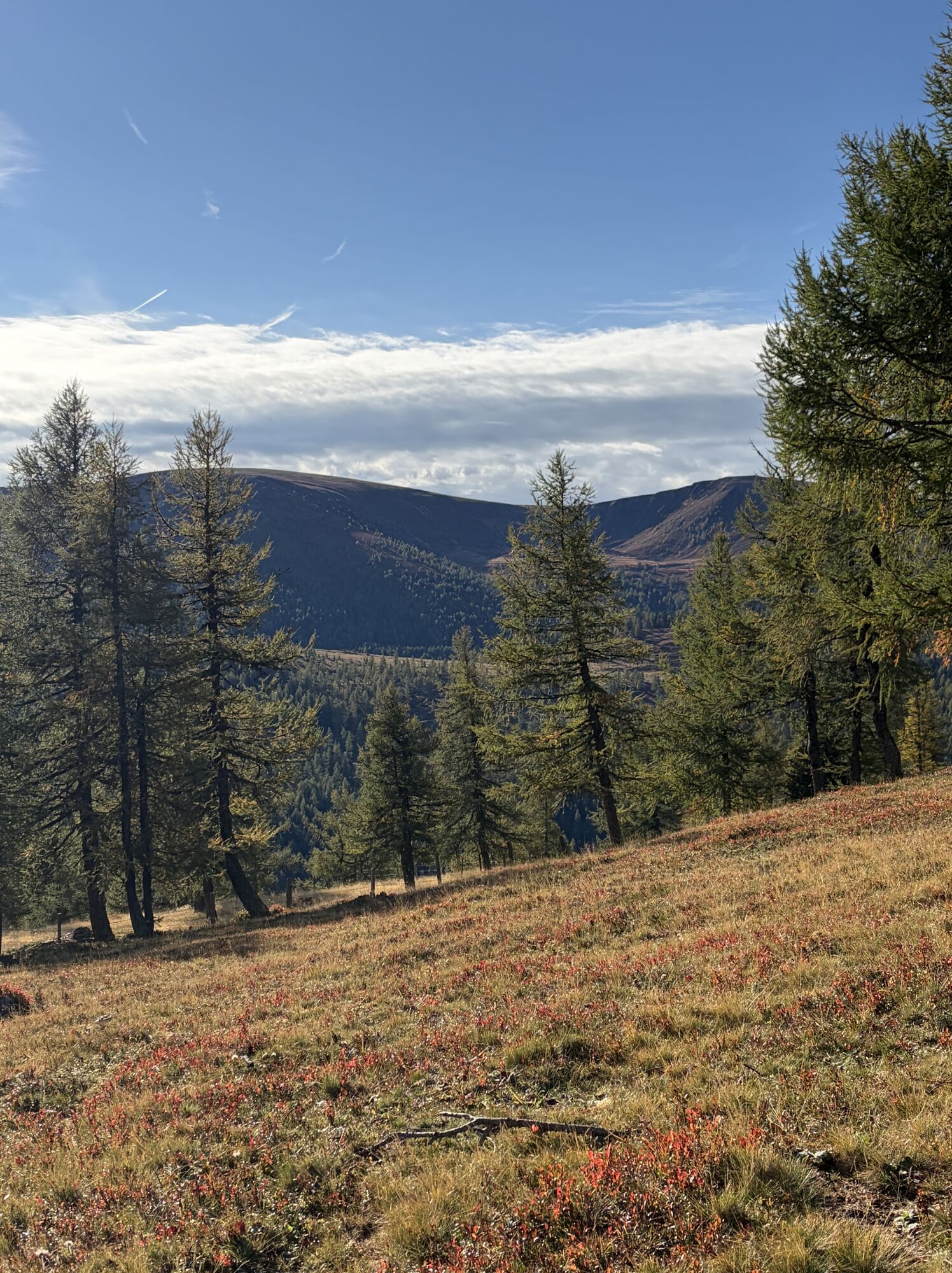
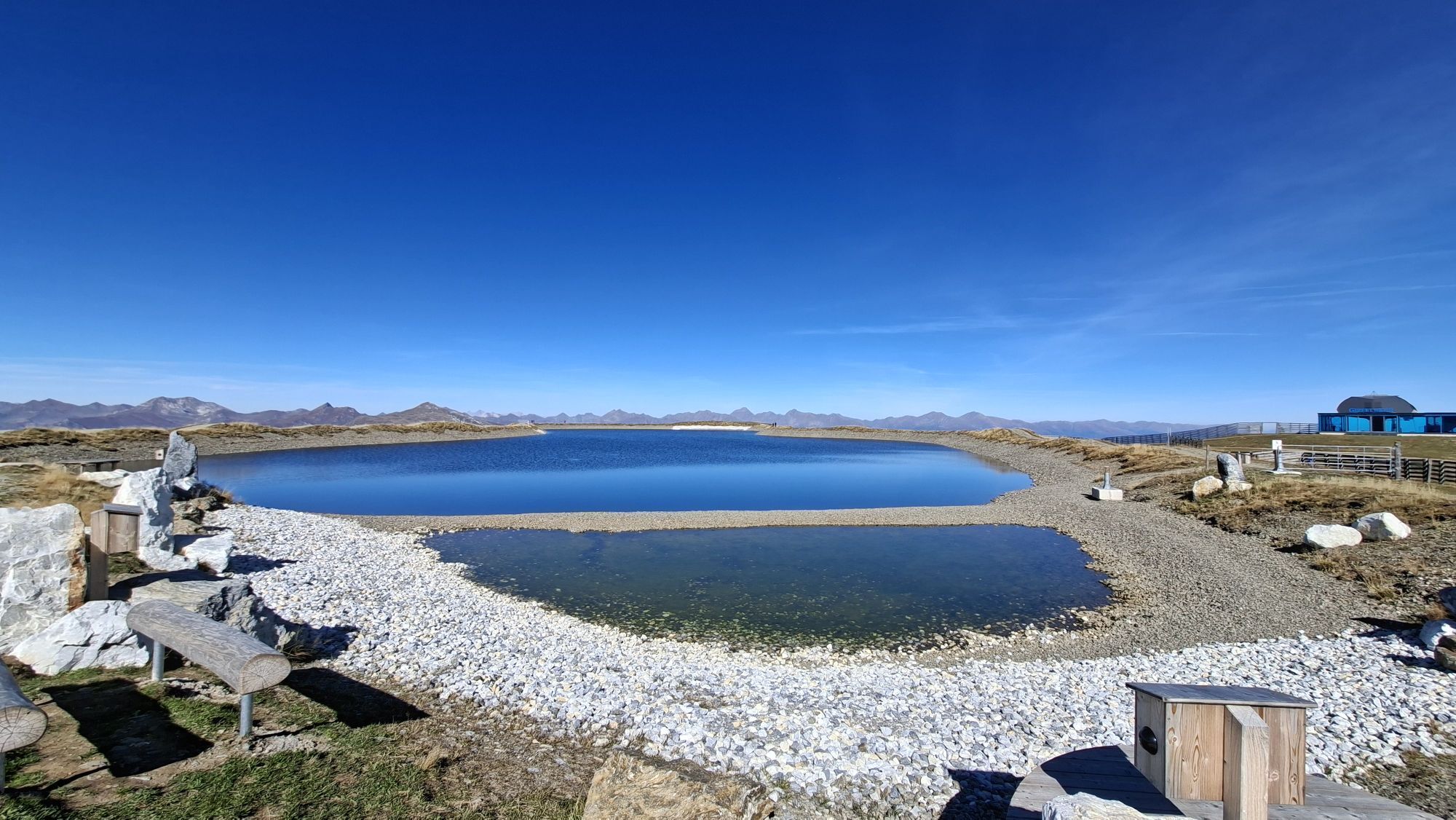
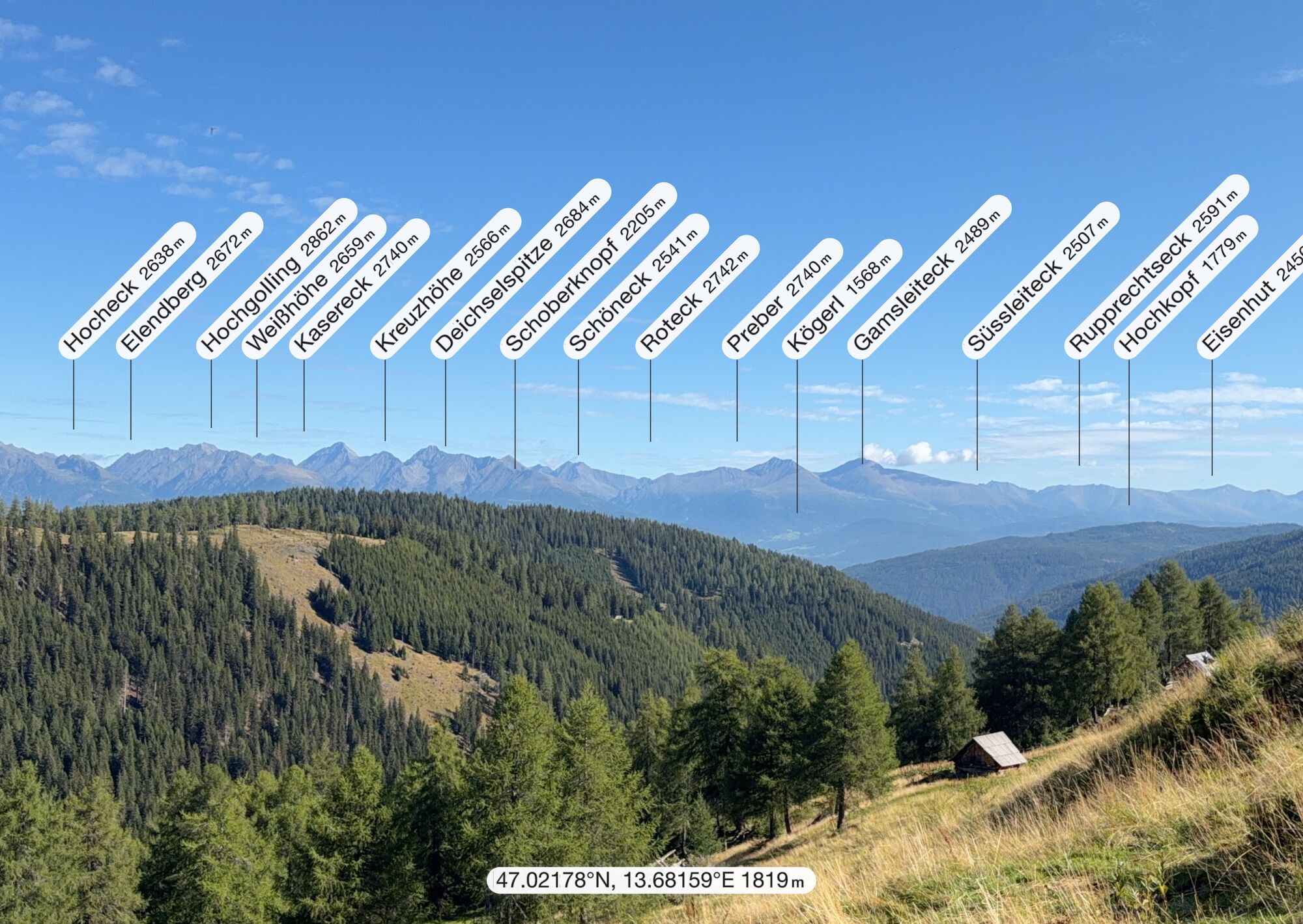
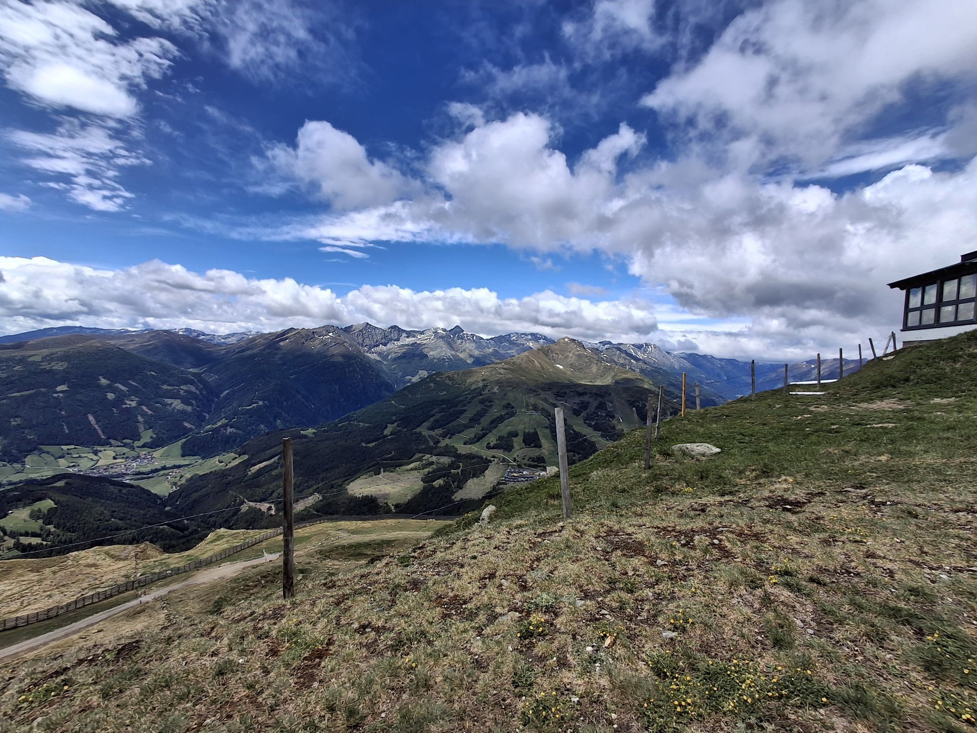
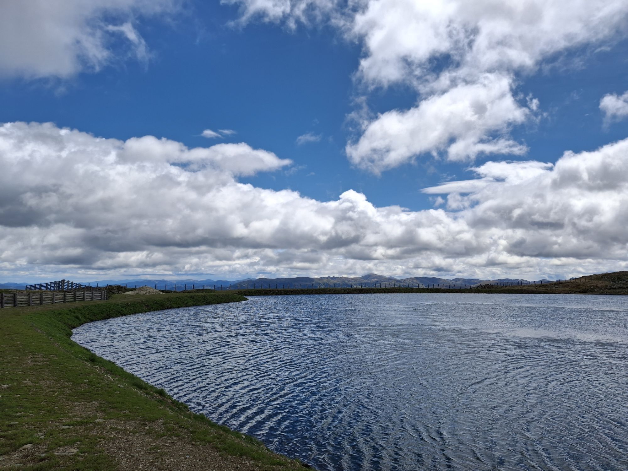
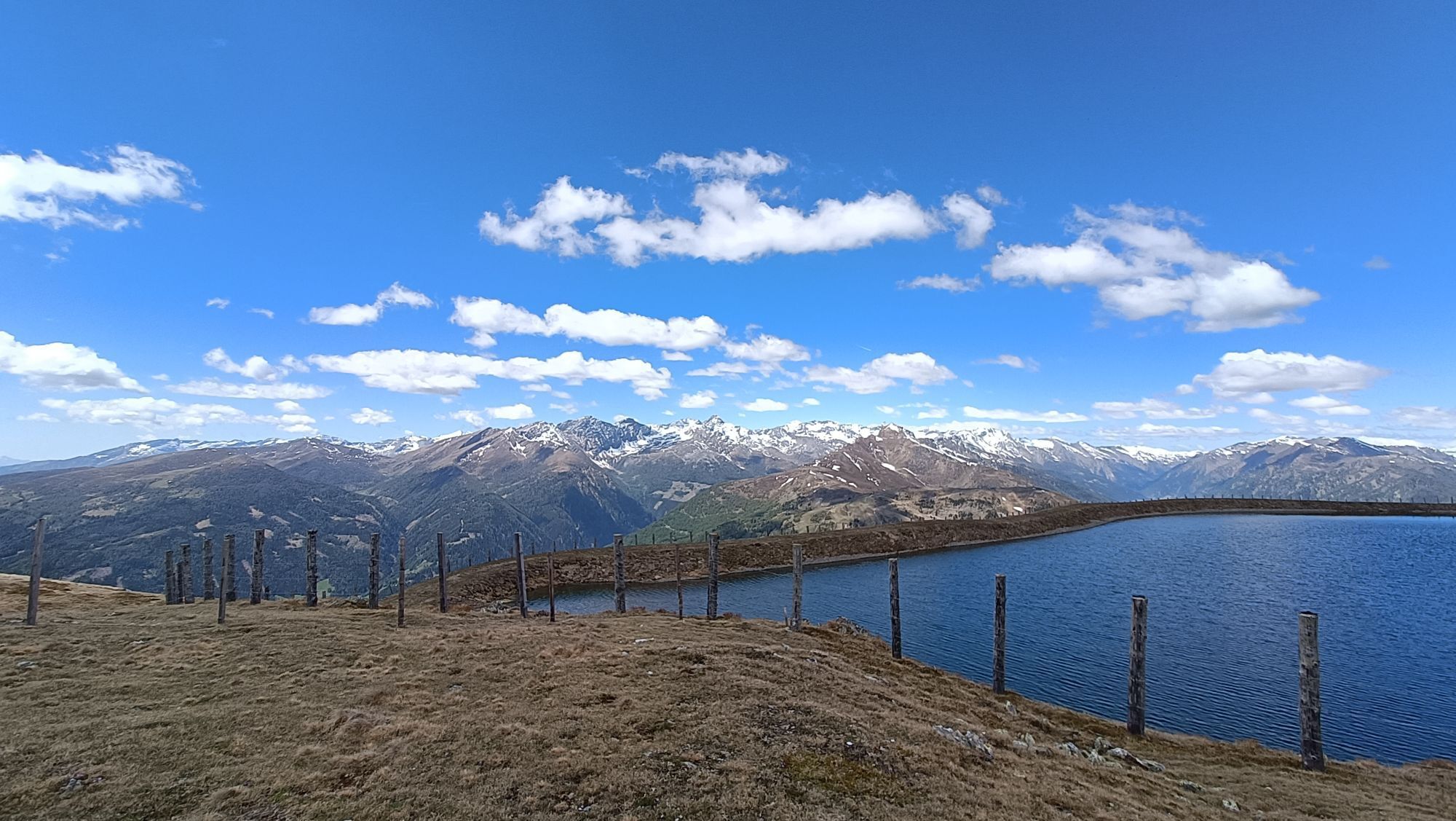
The day starts in comfort: the 3-seater chairlift (Aineckbahn) takes you up to the Aineck (2,220m), saving you almost 600 meters of ascent. The Aineck itself offers a magnificent panoramic view of the Hohe Tauern, Nockberge and the Karawanken and Julian Alps. After the panoramic view, it's time to really get going: from the mountain station, head south, past the snowmaking lake on the left, over a striking, gently sloping ridge towards the Teuerlnock (2,145m). However, you don't have to go to the summit of the Teuerlnock, you can ski down beforehand. With this variant, you don't even have to put on skins, but can ski in a relaxed manner in a south-easterly direction! This first descent first leads freely and then through sparse larch forests down into the Laußnitz valley, near the Neue Bonner Hütte. After crossing the Laußnitzbach stream, you first follow a forest path up to the Ebenwaldhütte (1,810 m), from where you follow the path briefly downhill without taking off your skins until you reach the next valley floor. The main ascent of the day awaits here: first continue along the snow-covered forest path to the Laußnitzeralm (1,839m), which is open in summer. The following ascent is magnificent: first through sparse larch forest, later over open slopes - always in a southerly direction - past the frozen Laußnitz lake up to the Roter Riegel and shortly afterwards to the summit of the Schwarzwand (2,214m). This summit marks the beginning of a striking ridge, whose panoramic crossing marks the most impressive section of this stage. Follow this ridge to the summit of the Gaipahöhe (2,192 m) and from there enjoy a descent of approx. 650 meters in altitude on partly groomed slopes directly down to the day's destination of Innerkrems.
Alternative:
If there are poor snow conditions on the Höhnenrücken from the Schwarzwand to the Gaipahöhe and / or strong winds, it is advisable to descend from the Schwarzwand to the south-east approx. 200 vertical meters to the Otthütten and then via Brugger Alm and Morawitzer Alm in the wind-protected and snow-sure area north of the main ridge to the Größing Alm and from there ascend south again to the Blutige Alm. You come out between Gaipahöhe and Zechner Höhe and from there take the normal route to Innerkrems.
Abort option in bad weather conditions:
The only possibility to break off this stage is at the Neue Bonner Hütte / Lausnitztal: Descent via the car access road to the west through the Lausnitztal valley in the direction of Rennweg-Frankenberg to the parking lot near Frankenberg. The Nockberge-Trail booking center (+43 4782 93093) or regional cab services will take you from there to Innerkrems.
Up to the Gaipahöhe there is no longer any possibility to break off. As far as the Schwarzwand, it is better to return to the Neue Bonner Hütte if the conditions suddenly change. From the Gaipahöhe you don't necessarily have to go up to the Zechnerhöhe, but you can cross diagonally from the saddle between the two peaks down to the top station of the ski area.
Basic equipment
Touring skis (incl. touring bindings, ski stoppers, crampons, skins) Ski touring boots Digital avalanche transceiver (LVS) - check batteries! Avalanche shovel avalanche probe possibly. Ski touring helmet (telescopic) poles with winter plate Functional anorak/jacket Touring pants/ possibly. overtrousers Underwear Shirt + change shirt Jacket/sweater Hood (possibly spare)/ possibly face mask face mask 1 pair of thin +1 pair of thick gloves socks cell phone Personal medication ID cards as required (ÖAV, passport, etc.) Money/ credit card/ eCard Camera (spare battery/batteries/memory card) sunglasses Sunscreen and lip protection with sufficient protection factor handkerchiefs possibly. Spare goggles ski goggles possibly. LED headlamp (fresh batteries!) Thermos flask (1 liter) provisions/drink Backpack (possibly with ski attachment) possibly. Backpack rain cover Change of underwear Toiletries Compass/ altimeter/ GPS device Map/ tour descriptionsBackpack packing and weight recommendation: 7-8 kg, volume 30 l
Ascent in up to 35 degree steep terrain, hairpin bend technique required. For the descents, turns with parallel ski control in different snow conditions must be safely mastered.
General requirements for ski tourers in steep terrain above the tree line who are traveling without a guide/ski mountain guide. You must...
be able to read and interpret the avalanche report be able to solve a multiple burial of two to three people with an avalanche transceiver, probe and shovel know a recognized avalanche risk management procedure and be able to apply it (Stop and Go, Snowcard etc.) master ascent and descent techniques with skis have good basic stamina be able to determine their location in the terrain with a map and compass and use a GPS have a sound knowledge of orientation, alpine dangers, first aid and weather be able to ski safely in the terrain, both with changing steepness and snow conditions as well as tight turns.From the north:
Freeway Munich-Salzburg, A10/Tauernautobahn (Tauerntunnel toll) to the exit St. Michael and then 8 km driveway to Katschberghöhe or on the A10/Tauernautobahn to the exit Eben/Pongau, continue on the B99 Obertauern-Tweng, St. Michael, Katschberg
From the east:
Vienna, A2/Südautobahn - Semmering - Leoben - Unzmarkt - Murau - Tamsweg - St. Michael - Katschberg or Vienna, A1/Westautobahn to Salzburg and then as approach from the north
From the south:
Udine - Autostrada - Tarvisio - Villach - Spittal - Gmünd - exit Rennweg - Katschbergor via the Loiblpass - Klagenfurt - Villach - Spittal - Gmünd - exit Rennweg - Katschberg
Depending on the time of year and day of the week, different public transportation options are available. For up-to-date information, please visit the following websites:
http://www.katschberg.at/de/anreise
Convenient and direct from the train station to your accommodation with the Carinthia train station shuttle:
Guests who book via the official Nockberge-Trail booking center have access to a parking lot directly on the Katschberg for the duration of their ski crossing. For more information, please contact the Nockberge-Trail information and booking center T +43 4782 93093 or E info@nockberge-trail.com
For ski tourers who tackle the Nockberge-Trail individually, there is the possibility to park their car for the duration of their ski crossing at the office of the Bergbahnen Katschberg / Haus Herbert. The costs are € 5,- per day and are to be paid at the office of the Bergbahnen Katschberg, Katschberg 677, 5582 St. Michael im Lungau T: +43 4734 83888, E: info@katschi.at. The office is located right next to the Katschberg Alpine Horse Center. From this parking lot it is a 2 minute walk to the valley station of the Aineckbahn.
Free parking for several days is available in the valley towns of Rennweg (at the heating plant, directly on the B99, Frankenberg junction) or St. Michael (Park & Ride parking lot, Gewerbestraße parking lot). From Rennweg, Gasthof Post, buses run to Katschberghöhe several times a day in winter.
The stages of the Nockberge-Trail can also be found in the Carinthia Tour Guide App, the ideal companion on site! Here is the download link for the iPhone App Store or for Android on Google Play.
Attention: As there is no network reception in the Nockberge mountains for the most part, it is recommended to save the respective stage offline in advance so that you can navigate without any problems!
Avalanche warning service Carinthia: www.lawine.ktn.gv.at
Mountain weather Carinthia: www.zamg.ac.at/cms/de/wetter/produkte-und-services/bergwetter/kaernten
Katschberg webcams: www.katschi.at/webcams.html
Webcam Innerkrems: http://innerkrems.at/webcam.html
Alternatively, you can also take the cable car from St. Margarethen im Lungau up to the Aineck.
From Aineck you can cross in the direction of Theuerlnock without skinning up
Kamery internetowe z trasy
-
Sonnenbahn Bergstation
-
Aineck Mittelstation
-
Tschaneck
-
Sport Schiffer - Innerkrems
-
Katschberghöhe Aineck
-
Golfplatz St. Michael
-
Nockalmstraße - Eisentalhöhe
-
Silverjet Katschberg
-
Zechneralm
-
Boutique Apartments Herbert
-
Hotel Grizzly
-
Tschaneckbahn
-
Tschaneckbahn
-
Tschaneckbahn
-
Tschaneckbahn
-
Tschaneckbahn
-
Schönfeld
-
Innerkrems

Popularne wycieczki w okolicy
-
4,9
Schönfeld: Großer Königstuhl
średniWędrówka 11,2 km -
4,1
Schlögelbergrundweg Nr. 82 (Wasserweg Leisnitz)
średniWędrówka 5,15 km -
4,8
19, 97 Herzerl trail to the Gamskogelhütte
światłoTrasa tematyczna 3,83 km -
4,3
Pritzhütte
światłoWędrówka 3,38 km -
4,8
Gr. Königsstuhl, Nockalm, Kärnten
średniWycieczki górskie 7,15 km -
4,6
Rundweg Aineck
średniWędrówka 14,1 km -
4,6
97 circular hike Gontalrunde, Katschberg - Gontalscharte - Gontal
Wędrówka 9,33 km -
4,5
Peitlernock, Hohe Pressing, Bärenaunock
średniWędrówka 9,16 km -
4,8
Königstuhlrunde im Biosphärenpark Nockberge
średniWędrówka 11,3 km -
4,7
Hiking on the Katschberger Advent route
światłoWędrówka zimą 5,01 km
Wędrówki i tropienie


Nie przegap ofert i inspiracji na następne wakacje
Twój adres e-mail została dodana do listy mailingowej.





