


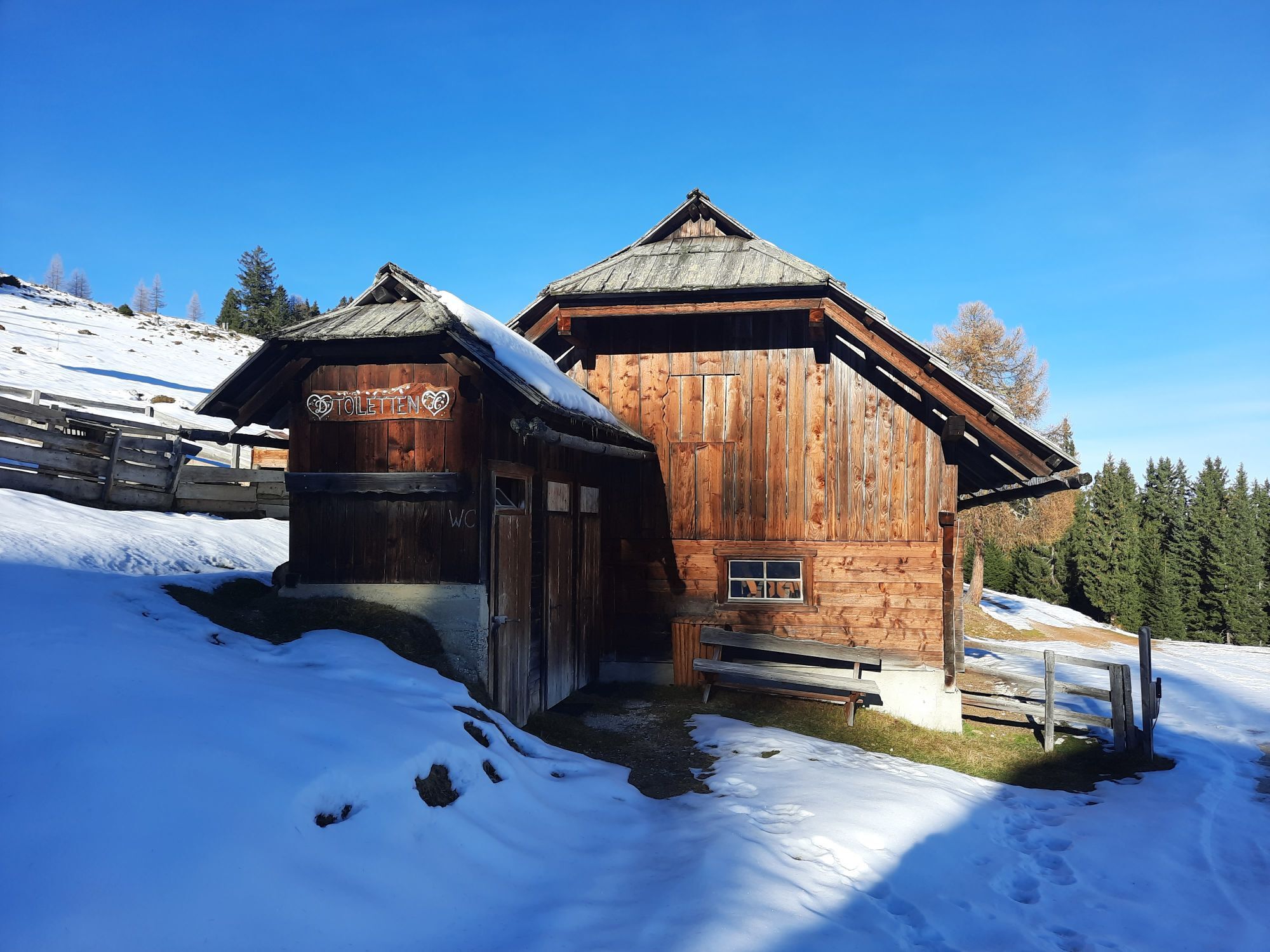
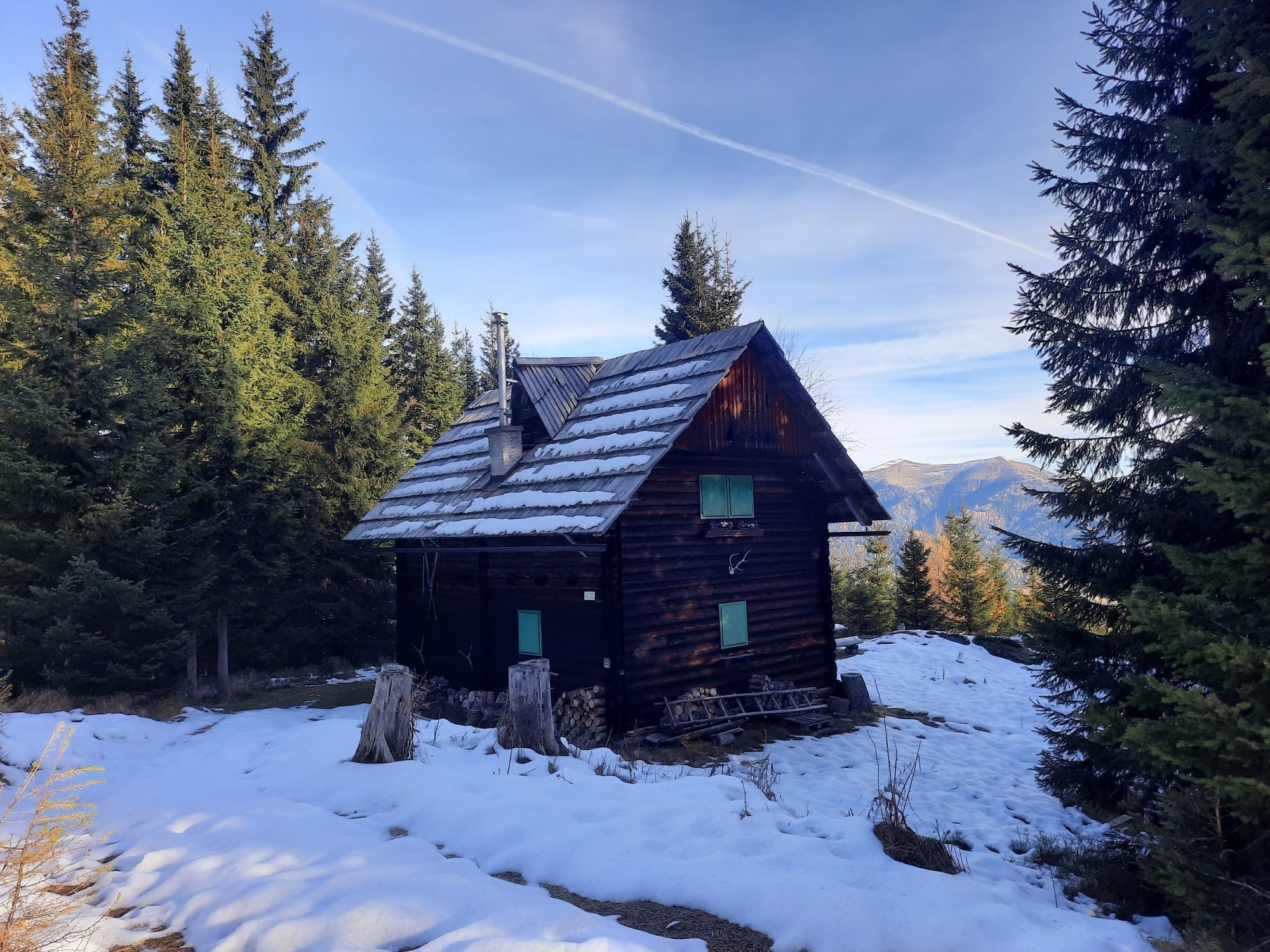
Amberger Alm
Zdjęcia naszych użytkowników
-
 © Patrick FresenbergerUtworzono dnia 16.11.2023
 -
 © Patrick FresenbergerUtworzono dnia 16.11.2023
 -

 © CRDVUtworzono dnia 14.02.2025
 -

 © Klaus schellenbergUtworzono dnia 11.08.2024
 -
 © Patrick FresenbergerUtworzono dnia 16.11.2023
 -
 © Patrick FresenbergerUtworzono dnia 16.11.2023
 -
 © Patrick FresenbergerUtworzono dnia 16.11.2023
 -
 © Patrick FresenbergerUtworzono dnia 16.11.2023
 -
 © Patrick FresenbergerUtworzono dnia 16.11.2023
 -
 © Patrick FresenbergerUtworzono dnia 16.11.2023
 -
 © Dagmar HoferUtworzono dnia 03.05.2026
 -
 © Dagmar HoferUtworzono dnia 03.05.2026
 -
 © Dagmar HoferUtworzono dnia 03.05.2026
 -
 © Dagmar HoferUtworzono dnia 03.05.2026
 -
 © GeWa 1Utworzono dnia 04.01.2026
 -
 © Hermann OberbergerUtworzono dnia 31.10.2025
 -
 © Hermann OberbergerUtworzono dnia 31.10.2025
 -
 © Hermann OberbergerUtworzono dnia 31.10.2025
 -
 © Christa GrailachUtworzono dnia 11.10.2025
 -
 © Christa GrailachUtworzono dnia 11.10.2025
 -
 © Christa GrailachUtworzono dnia 11.10.2025
 -
 © Peter OrascheUtworzono dnia 15.09.2025
 -
 © Peter OrascheUtworzono dnia 15.09.2025
 -
 © Peter OrascheUtworzono dnia 15.09.2025
 -
 © Janko ProehlUtworzono dnia 25.07.2025
 -
 © Janko ProehlUtworzono dnia 25.07.2025
 -
 © Janko ProehlUtworzono dnia 25.07.2025
 -

 © Daniela König 1Utworzono dnia 01.12.2024
 -
 © Daniela König 1Utworzono dnia 01.12.2024
 -
 © Daniela König 1Utworzono dnia 01.12.2024
 -
 © Daniela König 1Utworzono dnia 01.12.2024
 -
 © Daniela König 1Utworzono dnia 01.12.2024
 -
 © Daniela König 1Utworzono dnia 01.12.2024
 -
 © Daniela König 1Utworzono dnia 01.12.2024
 -
 © Dagmar HoferUtworzono dnia 03.06.2024
 -
 © Dagmar HoferUtworzono dnia 03.06.2024
 -
 © Dagmar HoferUtworzono dnia 03.06.2024
 -
 © Dagmar HoferUtworzono dnia 03.06.2024
 -
 © Dagmar HoferUtworzono dnia 03.06.2024
 -
 © Dagmar HoferUtworzono dnia 03.06.2024
 -
 © Dagmar HoferUtworzono dnia 03.06.2024
 -
 © Dagmar HoferUtworzono dnia 03.06.2024
 -
 © Dagmar HoferUtworzono dnia 03.06.2024
 -
 © Dagmar HoferUtworzono dnia 03.06.2024
 -
 © Dagmar HoferUtworzono dnia 02.04.2024
 -
 © Dagmar HoferUtworzono dnia 02.04.2024
 -
 © Dagmar HoferUtworzono dnia 02.04.2024


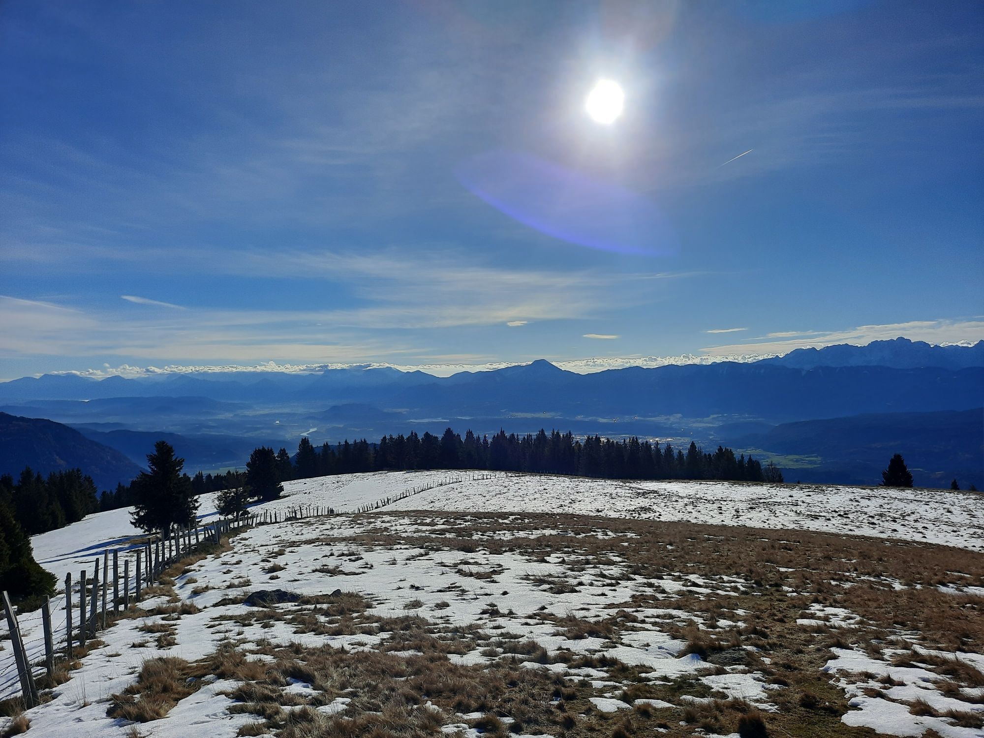

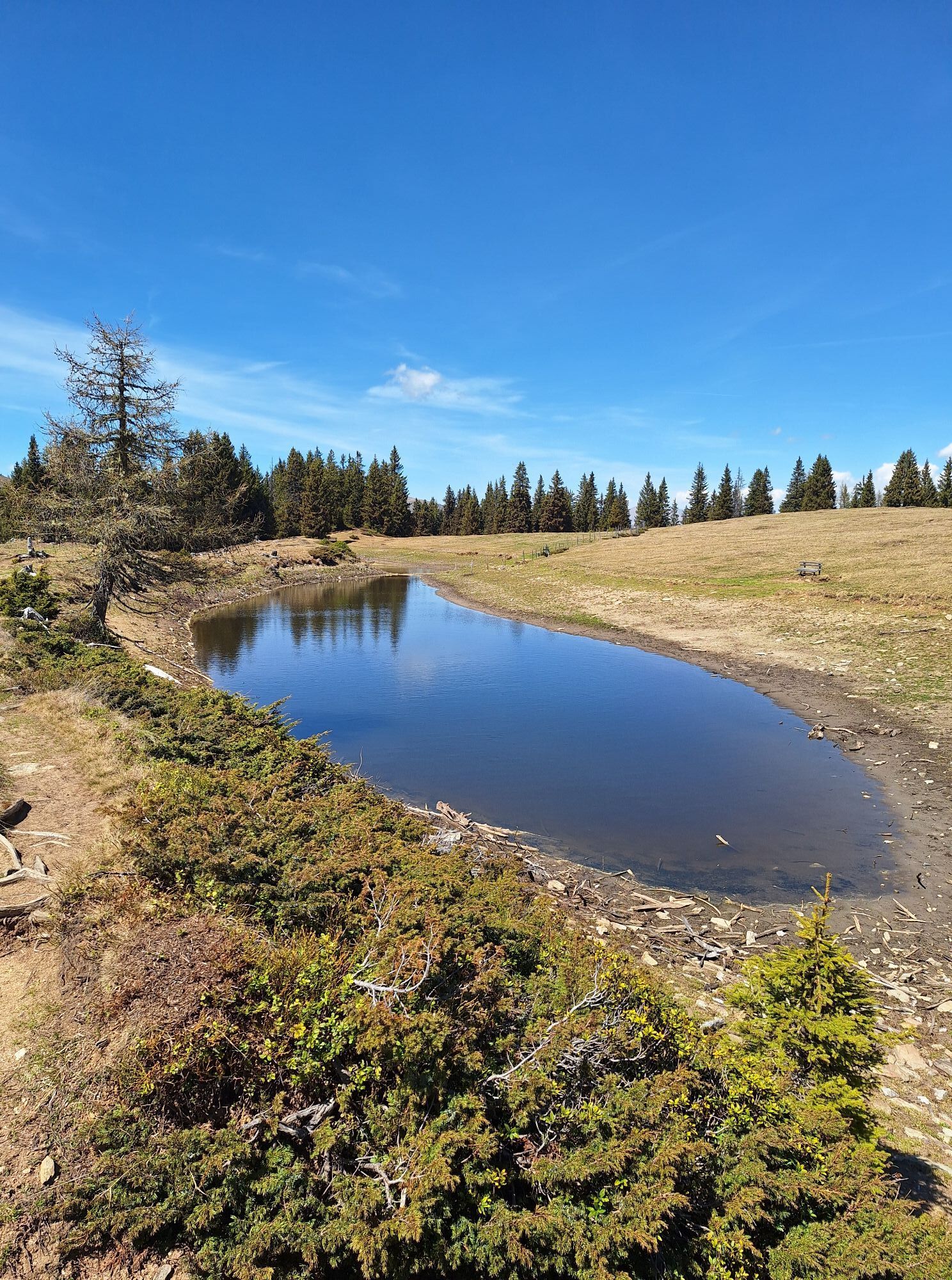


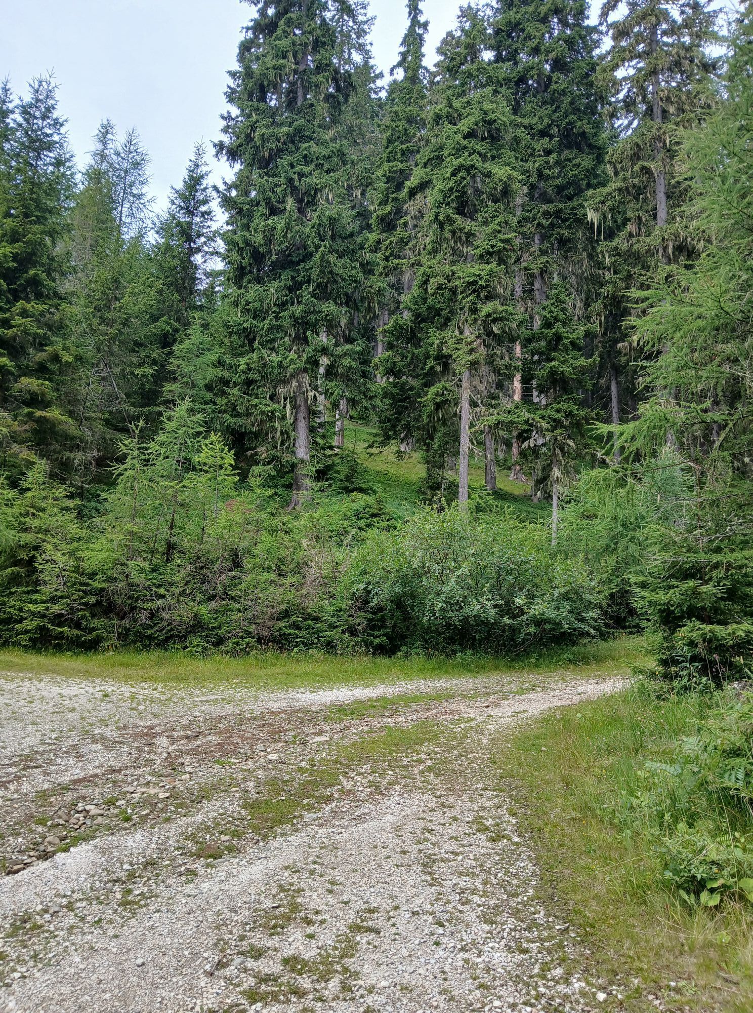

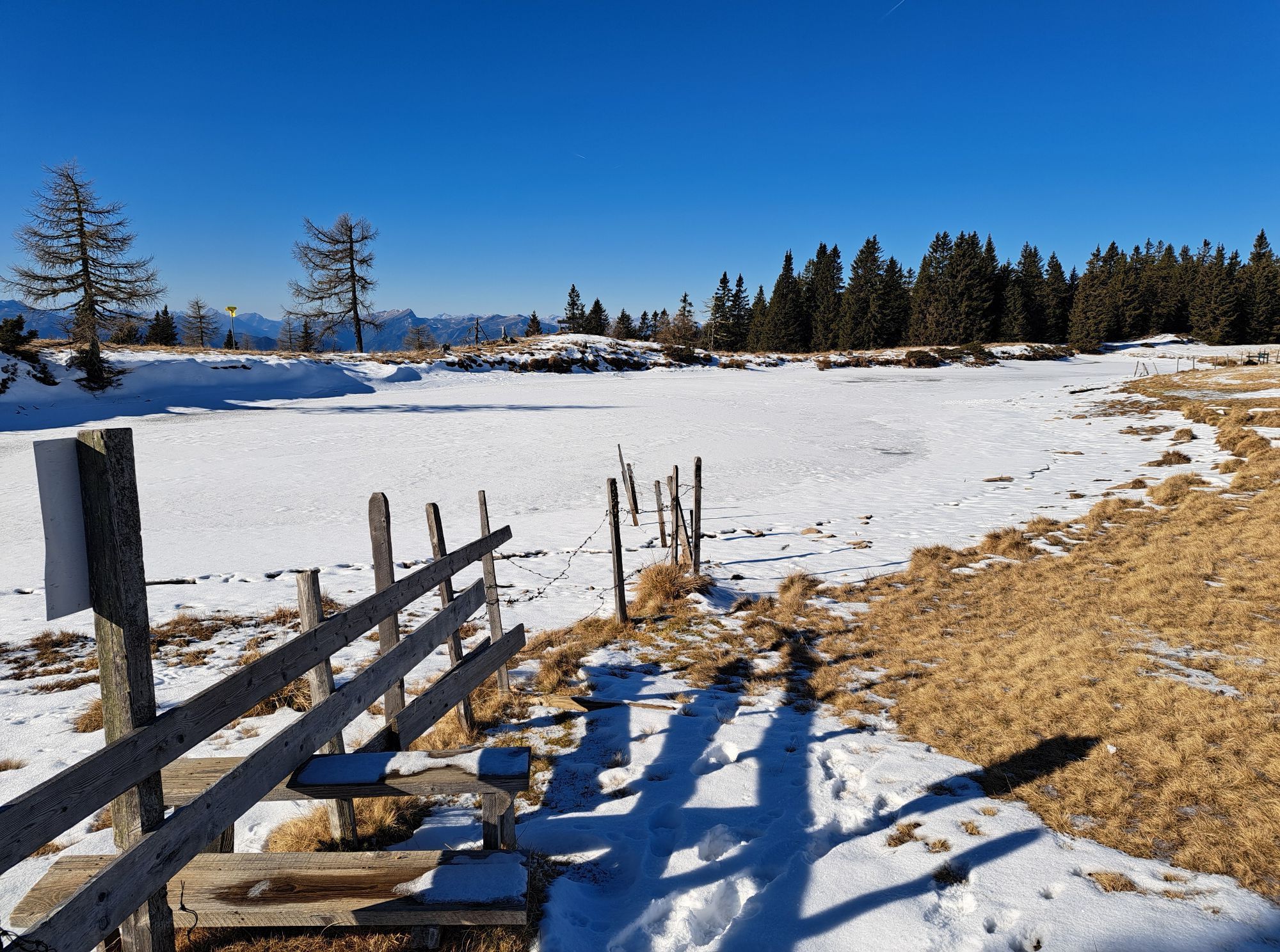


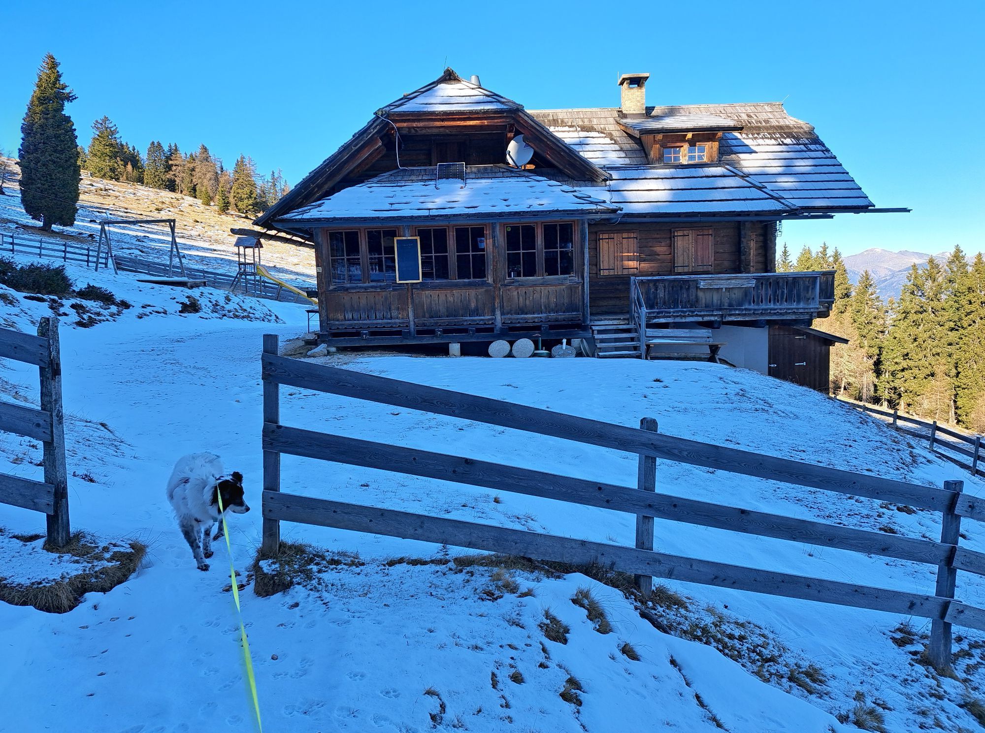


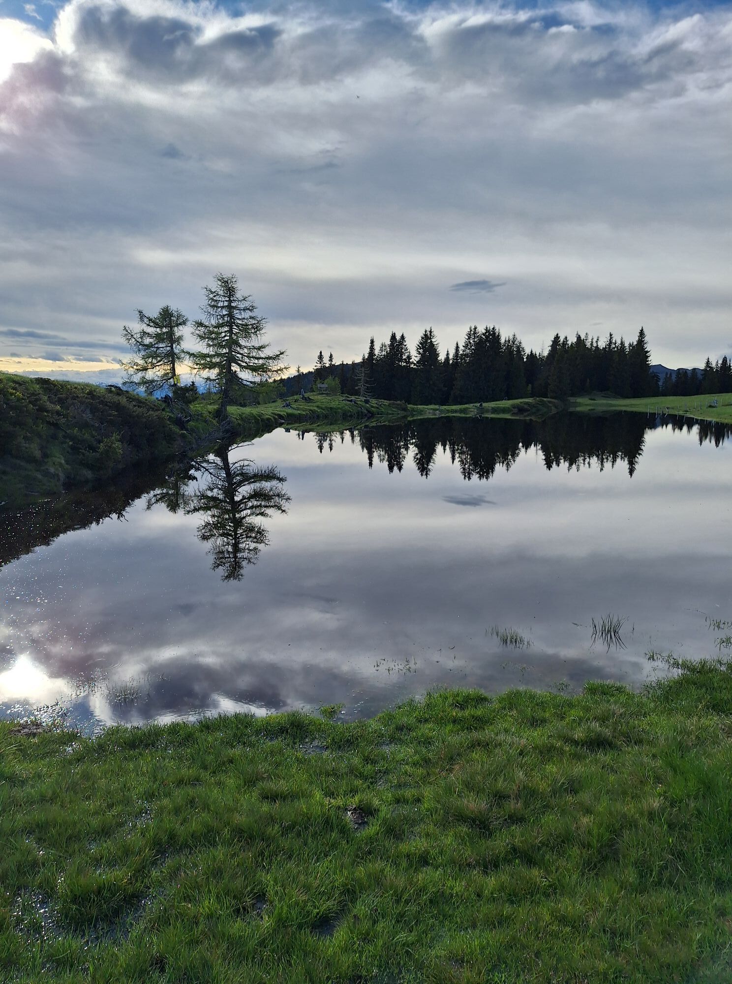
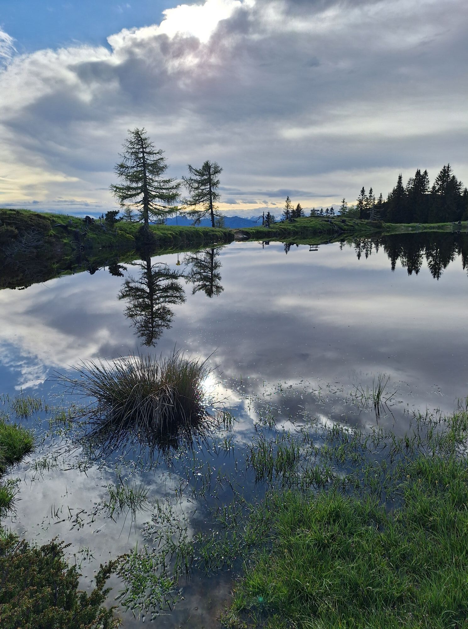
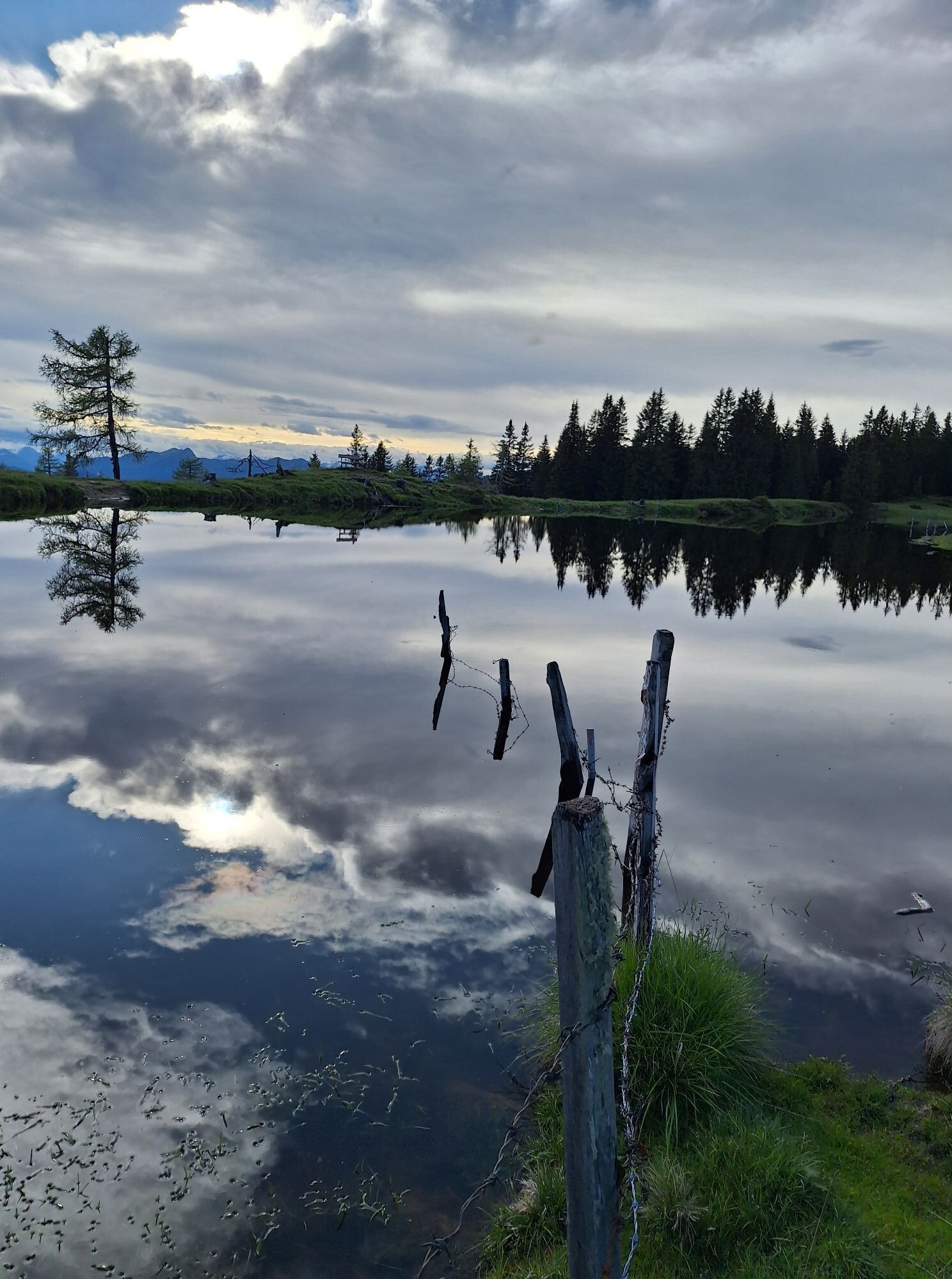
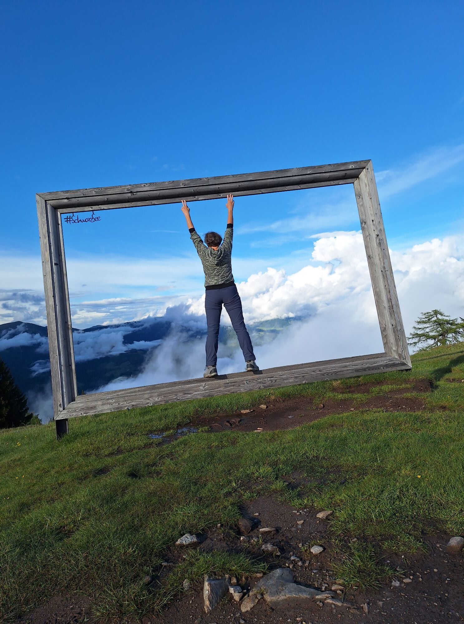


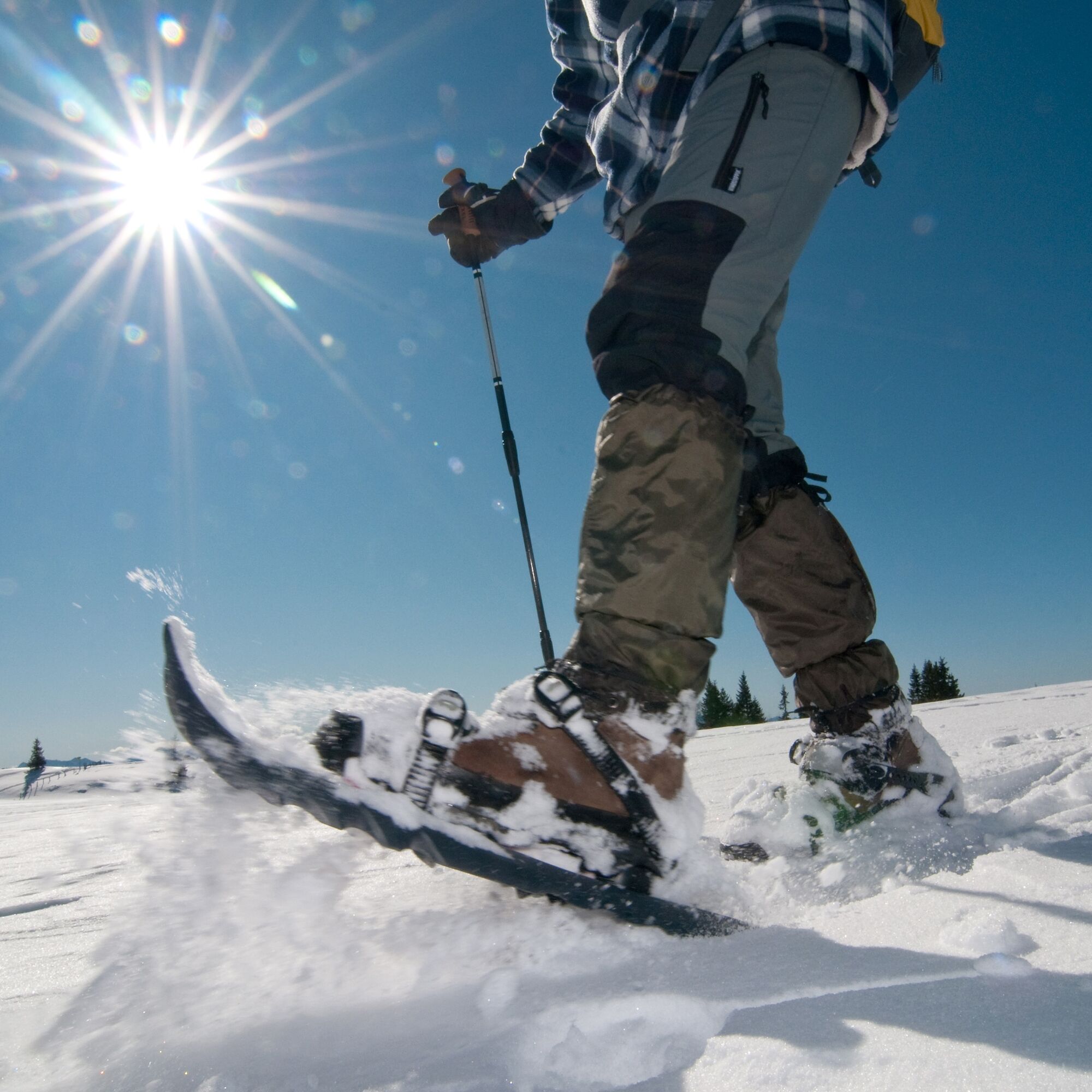
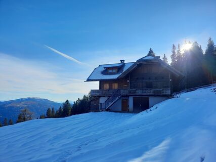
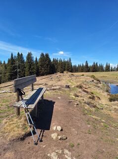
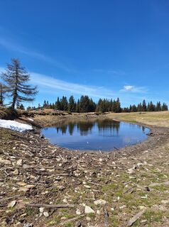
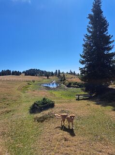
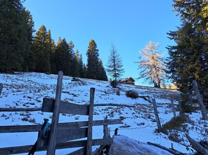
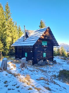
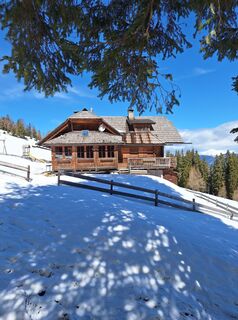
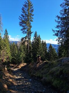
From the village of Afritz, you reach Lärchenboden via Verditzer Straße, where there are plenty of parking spaces. Follow the path towards Steinhauser Hut and from there up the forest road (Trail No. 28) to the junction into the forest path. After crossing some forest roads, the Schwarzsee Hut (1,750 m) is reached. Across open terrain, you then hike a few more minutes to Schwarzsee (1,791 m). Here, it is possible to extend the route with Palnock (1,901 m) by going west over the alpine terrain (Trail No. 180).
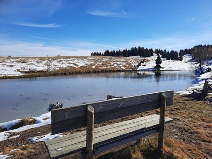
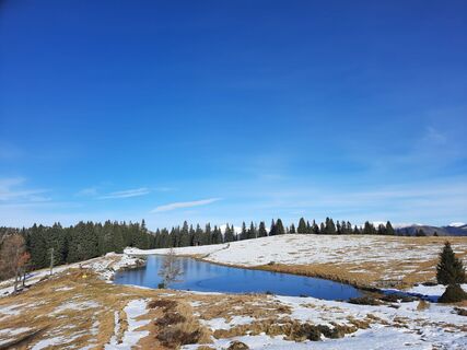
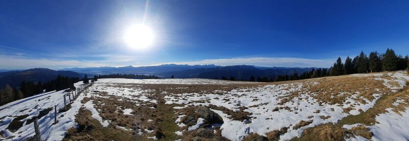
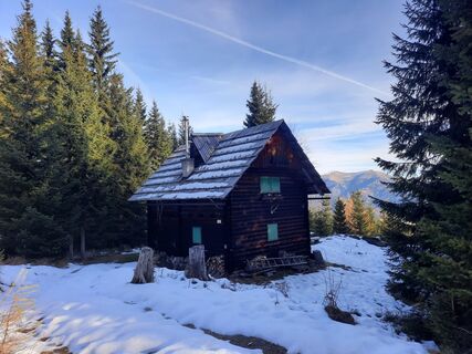
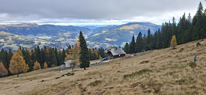
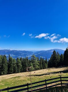
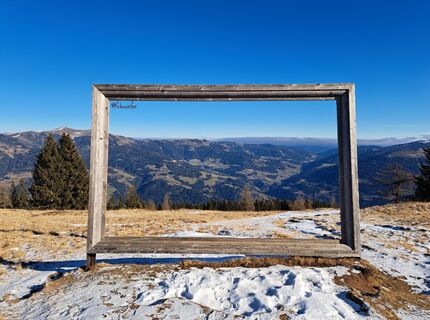
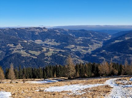
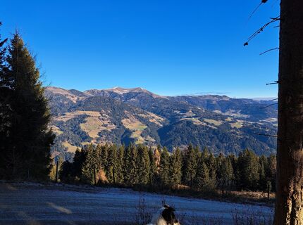
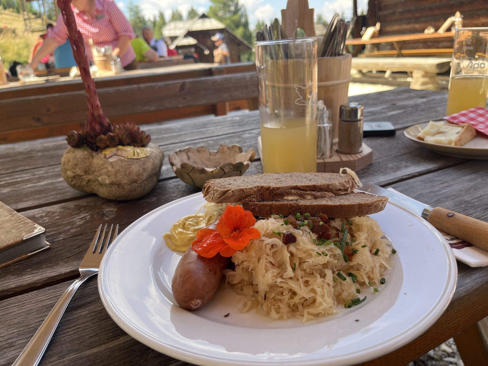
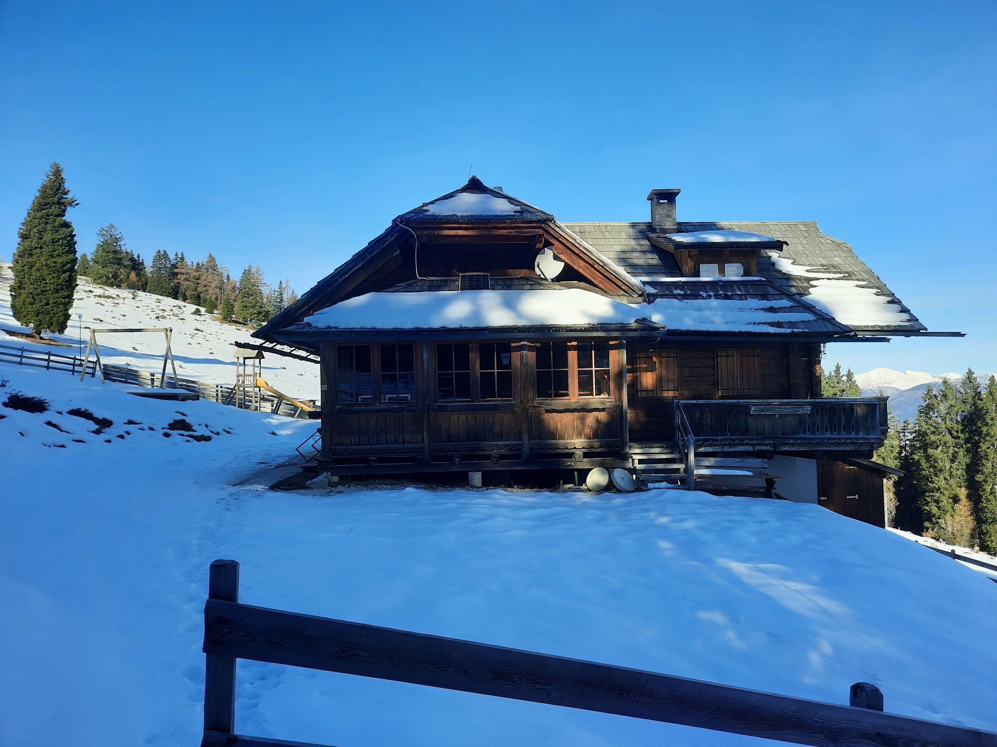
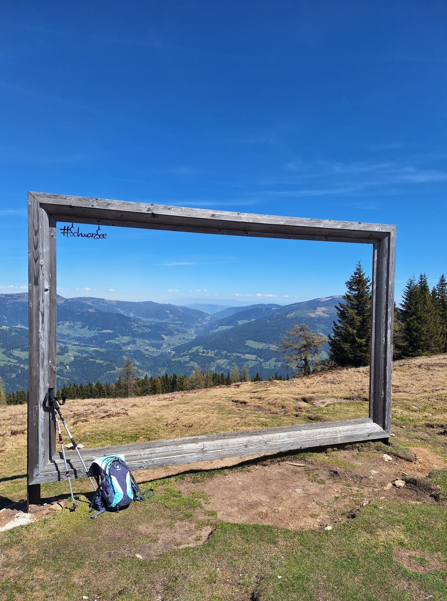
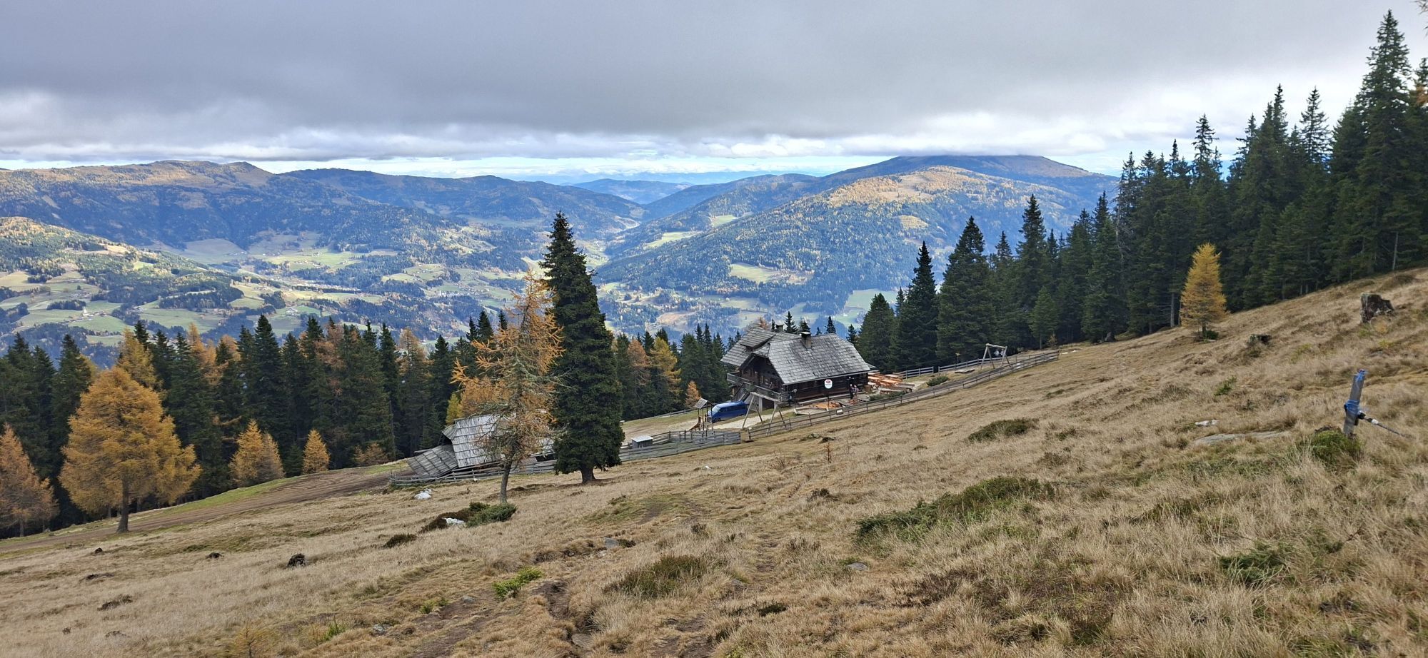
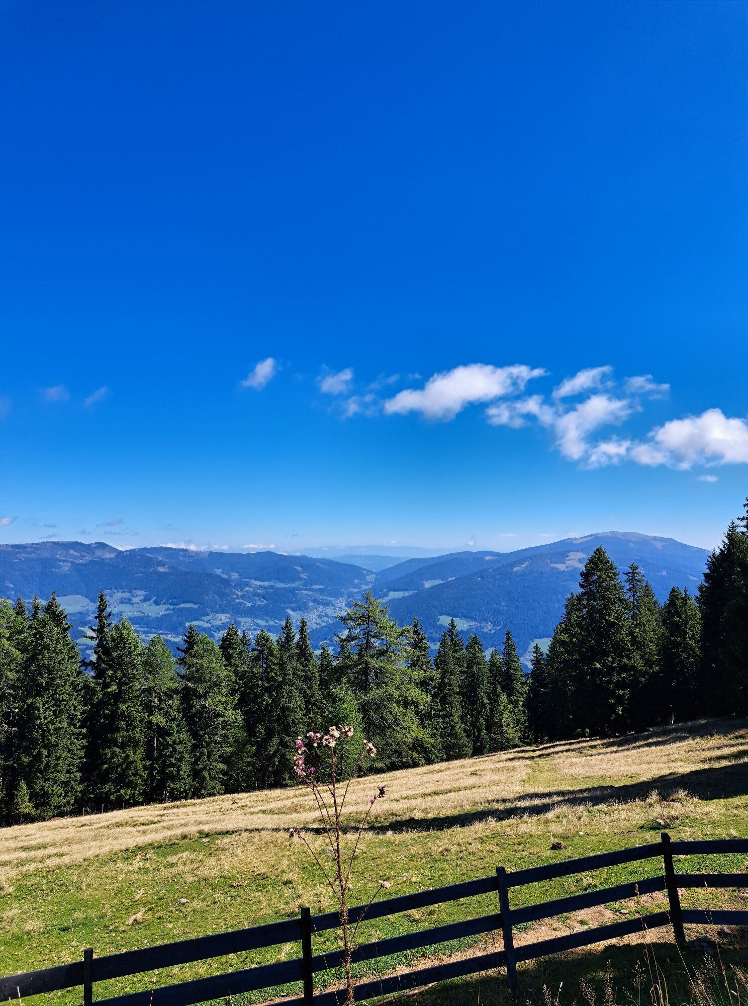
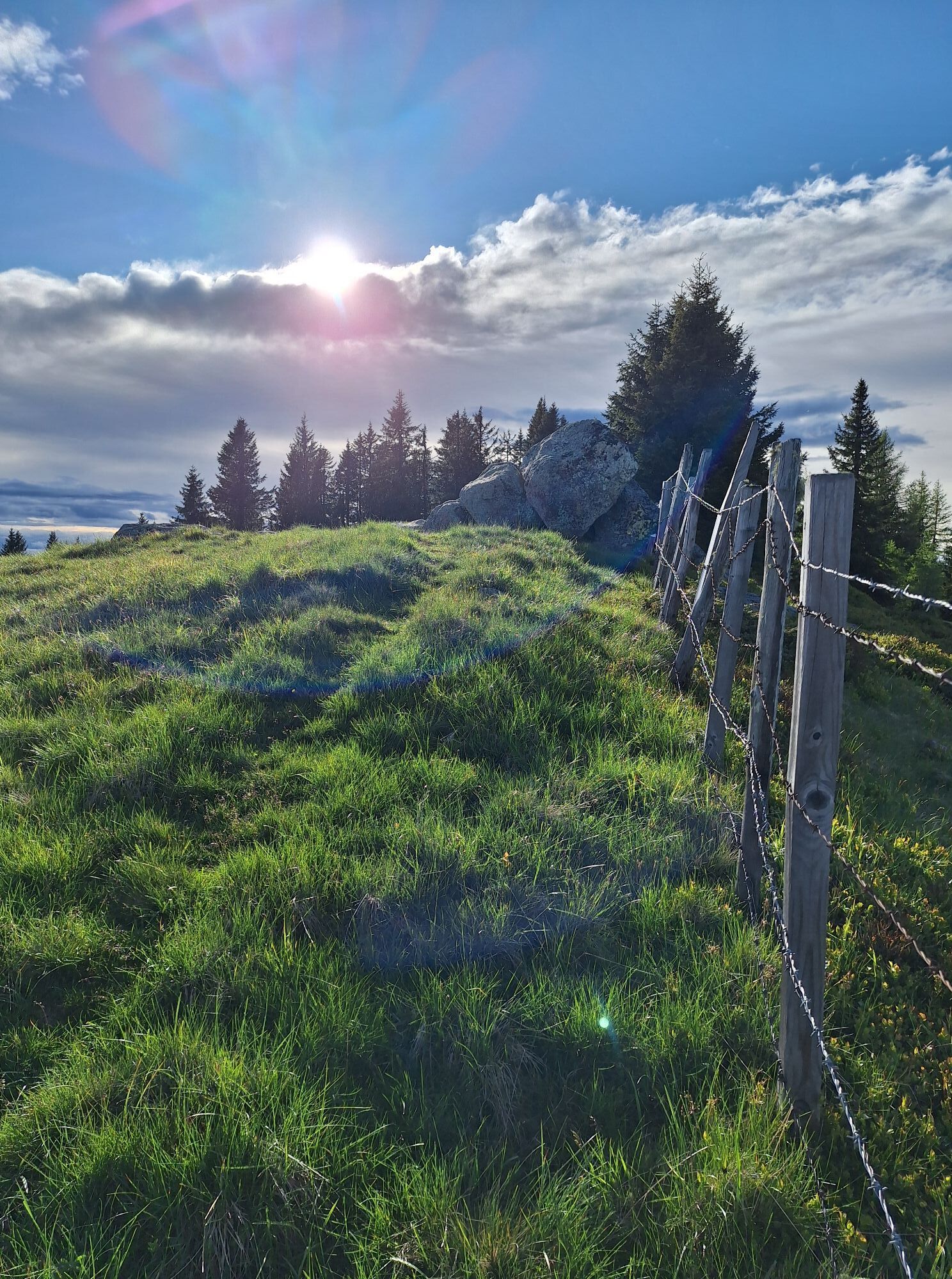
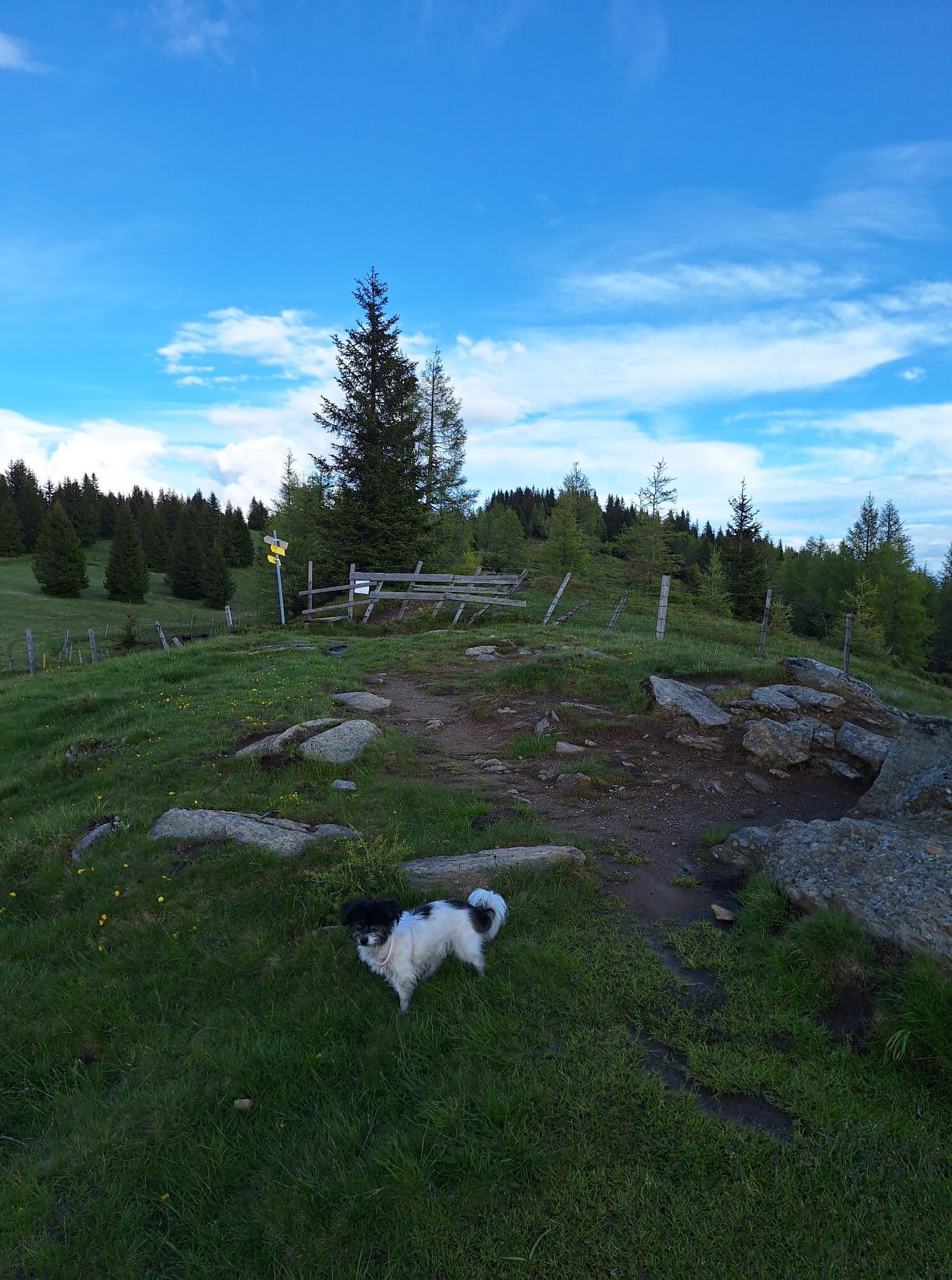
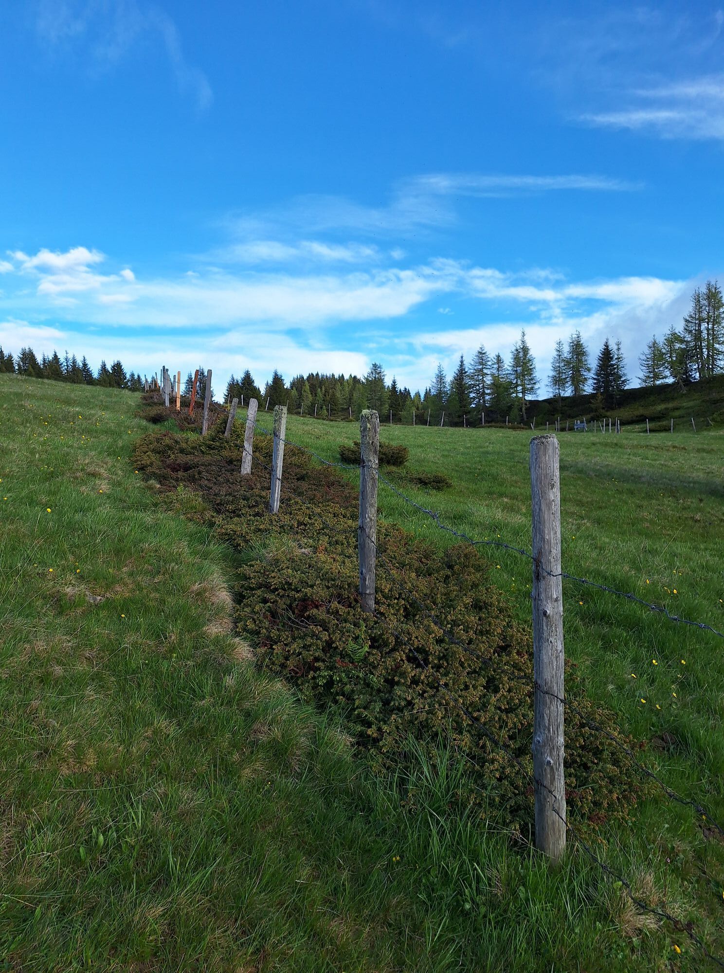
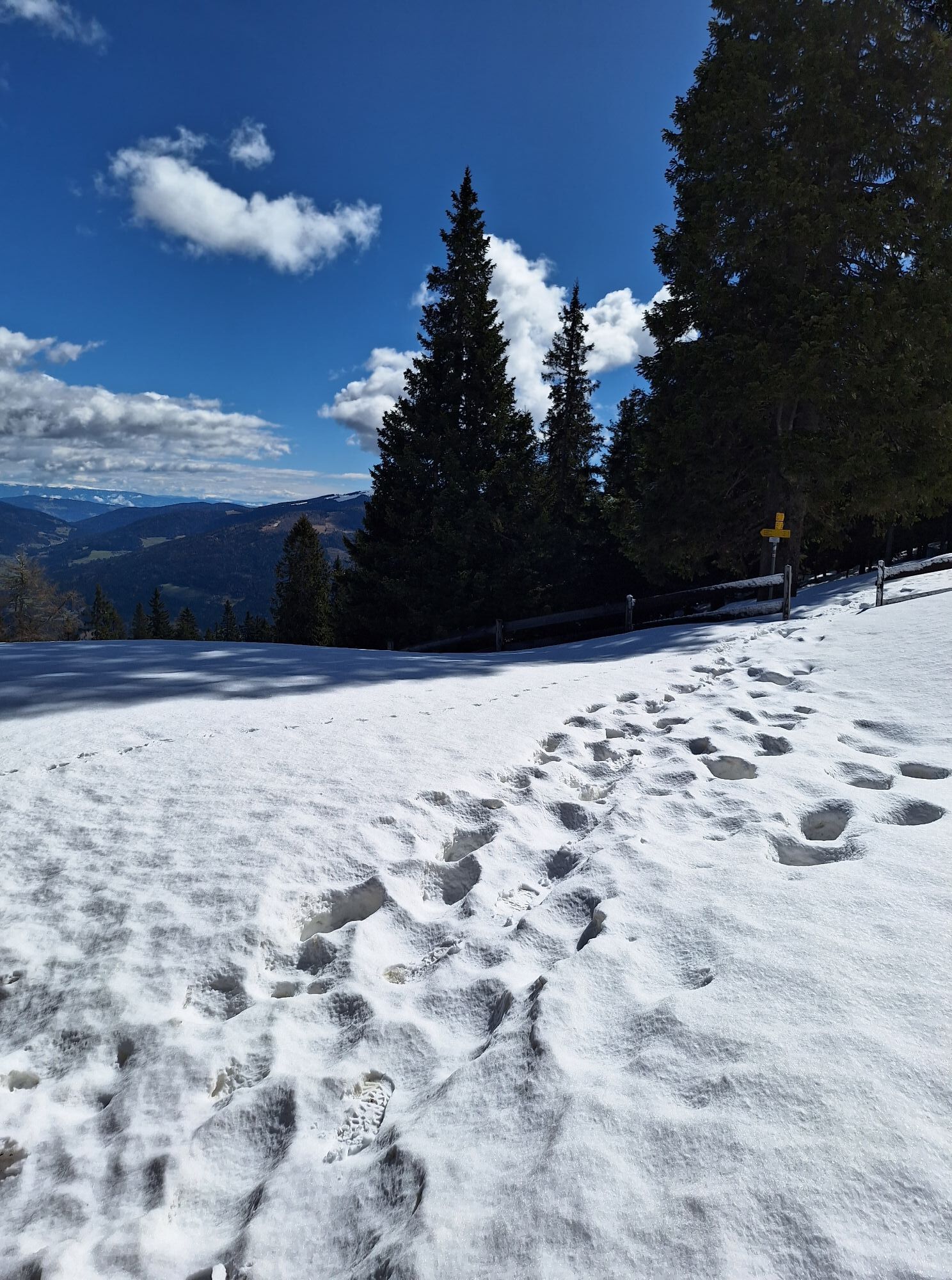
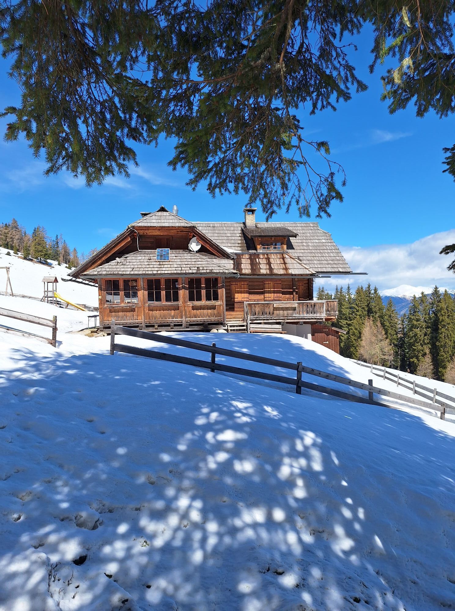
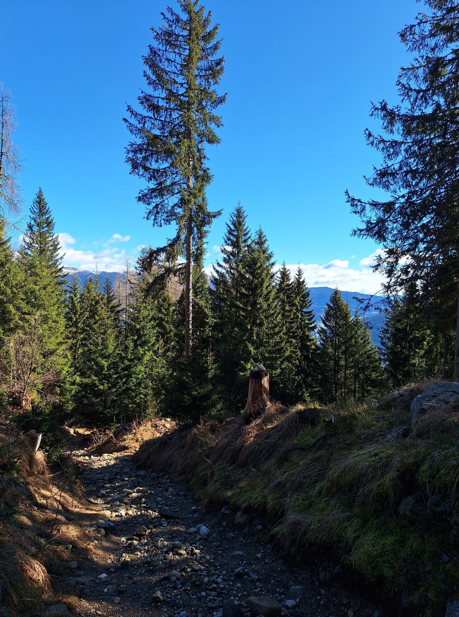
The shown route leads from Schwarzsee eastwards (Trail No. 179) with a pleasant ascent to the sunny Amberger Alm (1,831 m) with a magnificent view over the Carinthian lowlands, to Dobratsch and the Gurktal Alps. After a long sunbath, the path alongside the former ski slope is recommended until the trail (Trail No. 27 or 180) crosses the slope. Here you turn onto the hiking trail and follow it back to Lärchenboden.
Tak
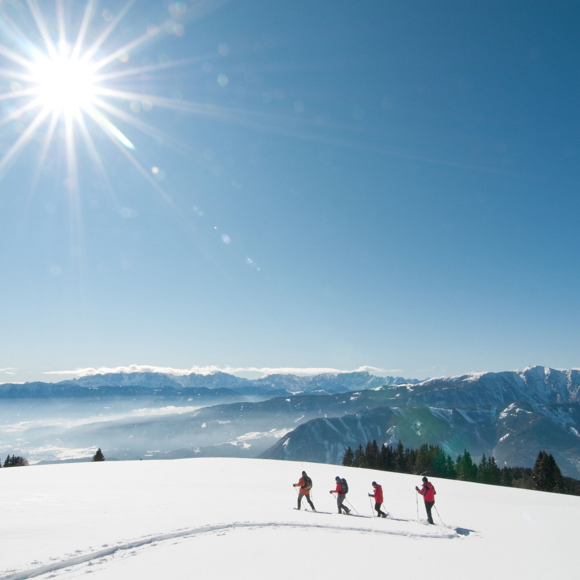
Snowshoe equipment (snowshoes, ski poles, avalanche transceiver, probe, avalanche shovel), change of clothes, warm drink, first aid kit, mobile phone.
From the Tauern Motorway A10 - exit Villach/Ossiacher See, via the B94 (Ossiacher See federal road) and the B98 (Millstätter federal road) to Afritz. Between Strobl's bakery and the Sporthotel Mirnock, Verditzer Straße branches off and follows the road to Lärchenboden.
By public transport to Afritz. From Afritz, taxi service to Lärchenboden valley station or mountain station.
Here is the timetable information.
There are several parking spaces at Lärchenboden.
Depending on conditions and weather, the ascent to Palnock is recommended as an extension of the route.
Popularne wycieczki w okolicy
-
4,5
Auf den Dobratsch mit der ganzen Familie
Wędrówka 8,40 km -
4,4
Finsterbach Waterfalls - Circular route
średniWędrówka 3,87 km -
4,7
Gailtaler Alpen: Wanderung auf der Dobratsch
średniWędrówka 8,50 km -
4,9
4 Huts Route
średniWędrówka 8,96 km -
4,9
Skitour: FIS K70, Auf Franz Klammers Spuren
średniWycieczka narciarska 11,3 km -
3,8
Lake Ossiach cycle path - R2 and R2A
średniJazda na rowerze 28,2 km -
4,5
Oswaldiberg St.Ruprecht
średniWędrówka 6,69 km -
4,5
Wasserfälle
średniWędrówka 2,48 km -
4,2
BKK, Kaiserburg, Wöllaner Nock, Güterweg
średniWędrówka 19,6 km -
4,5
Traumbogen Höhenrundweg
światłoWędrówka 4,26 km

Wędrówki i tropienie


Nie przegap ofert i inspiracji na następne wakacje
Twój adres e-mail została dodana do listy mailingowej.