







Nockberge Trail: Snowshoe Route Stage 2
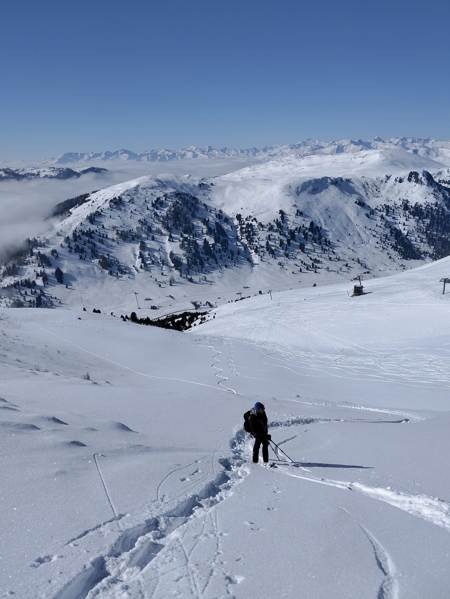
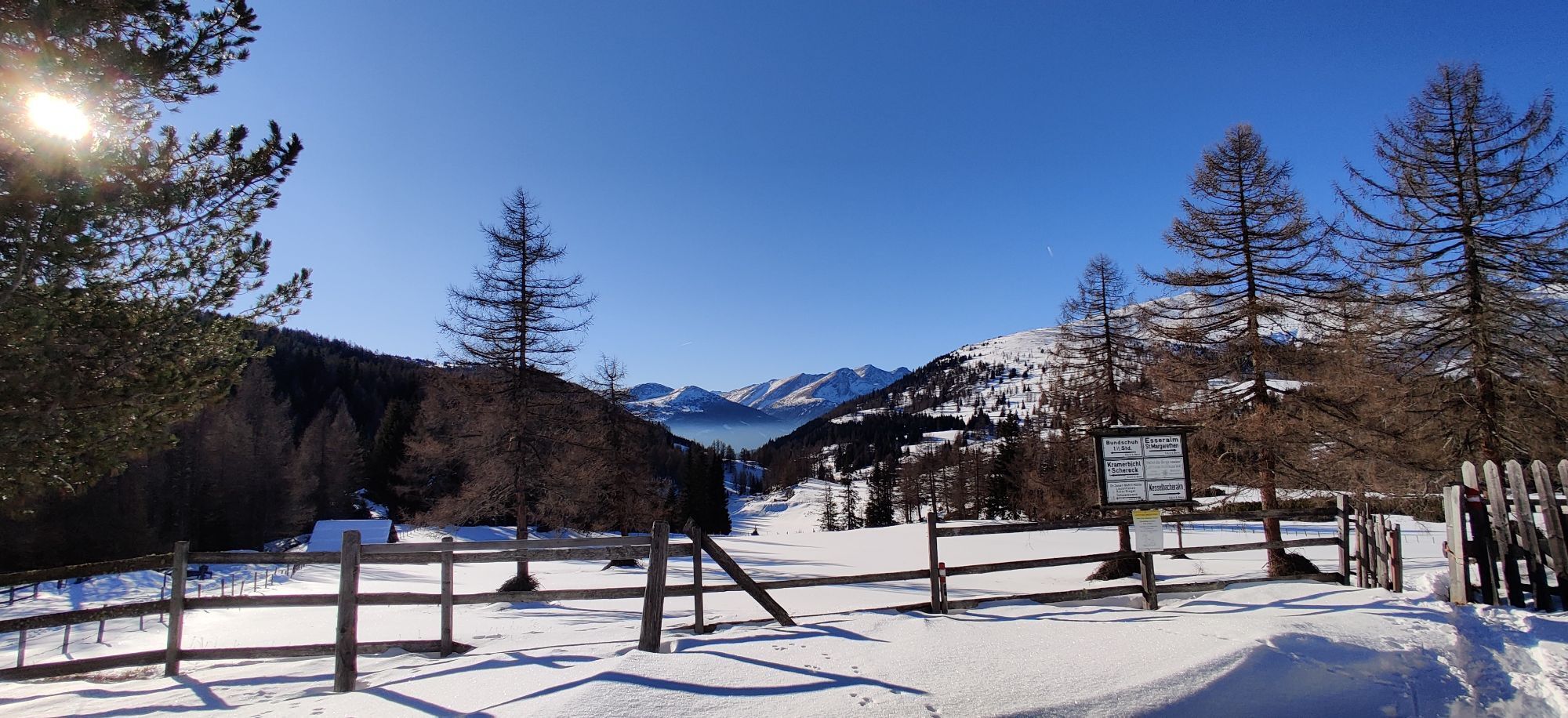
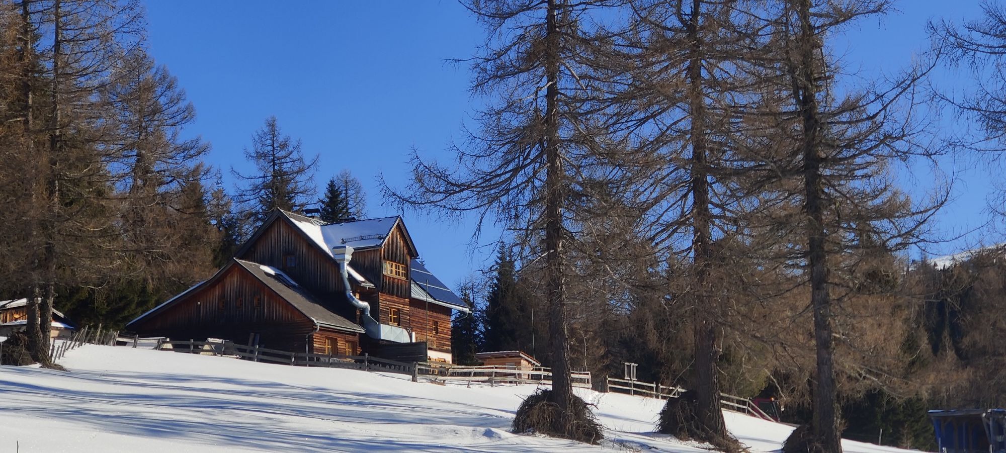
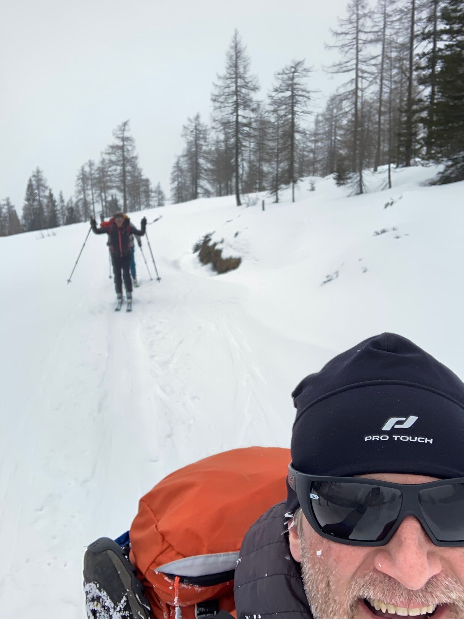
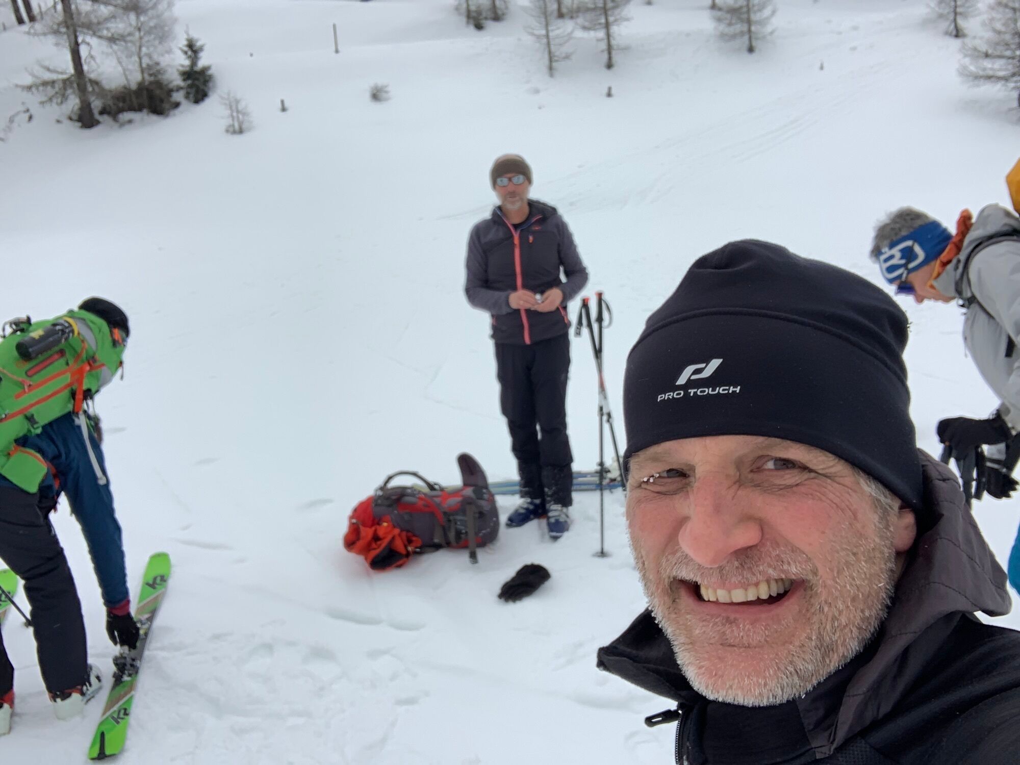
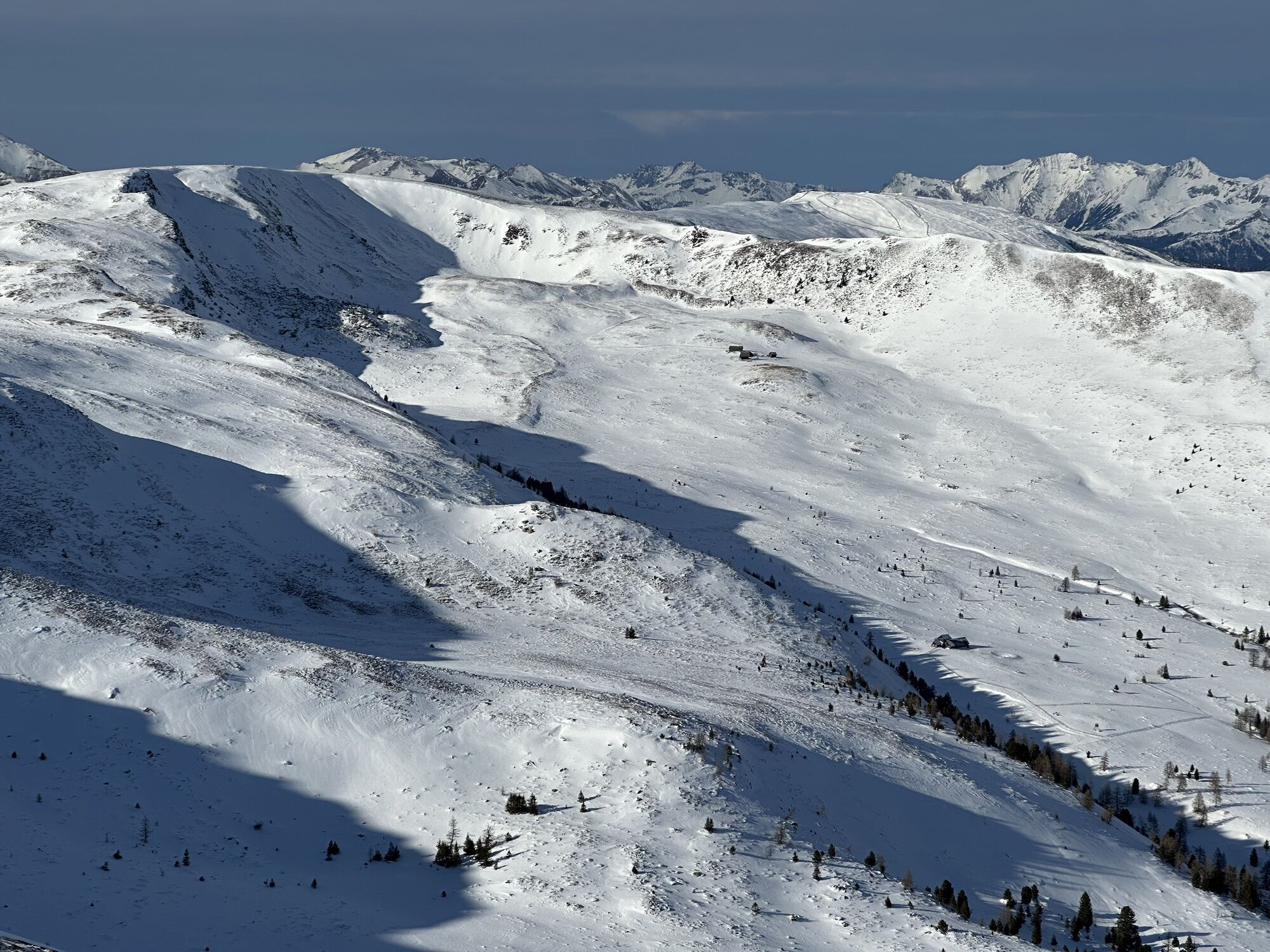
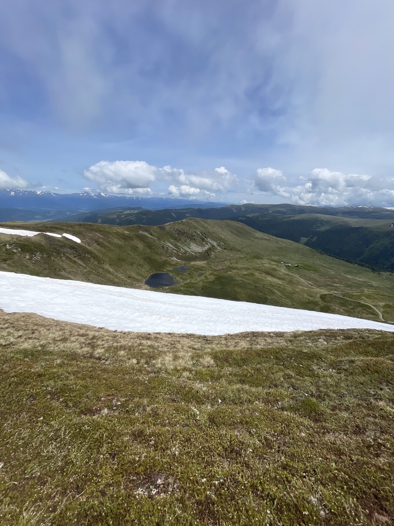
We start at the Neue Bonner Hut. First, we go up along a forest road to the Ebenwald Hut (1,810m), from where we follow the path a bit downhill until the next valley floor is reached. Here awaits the main...
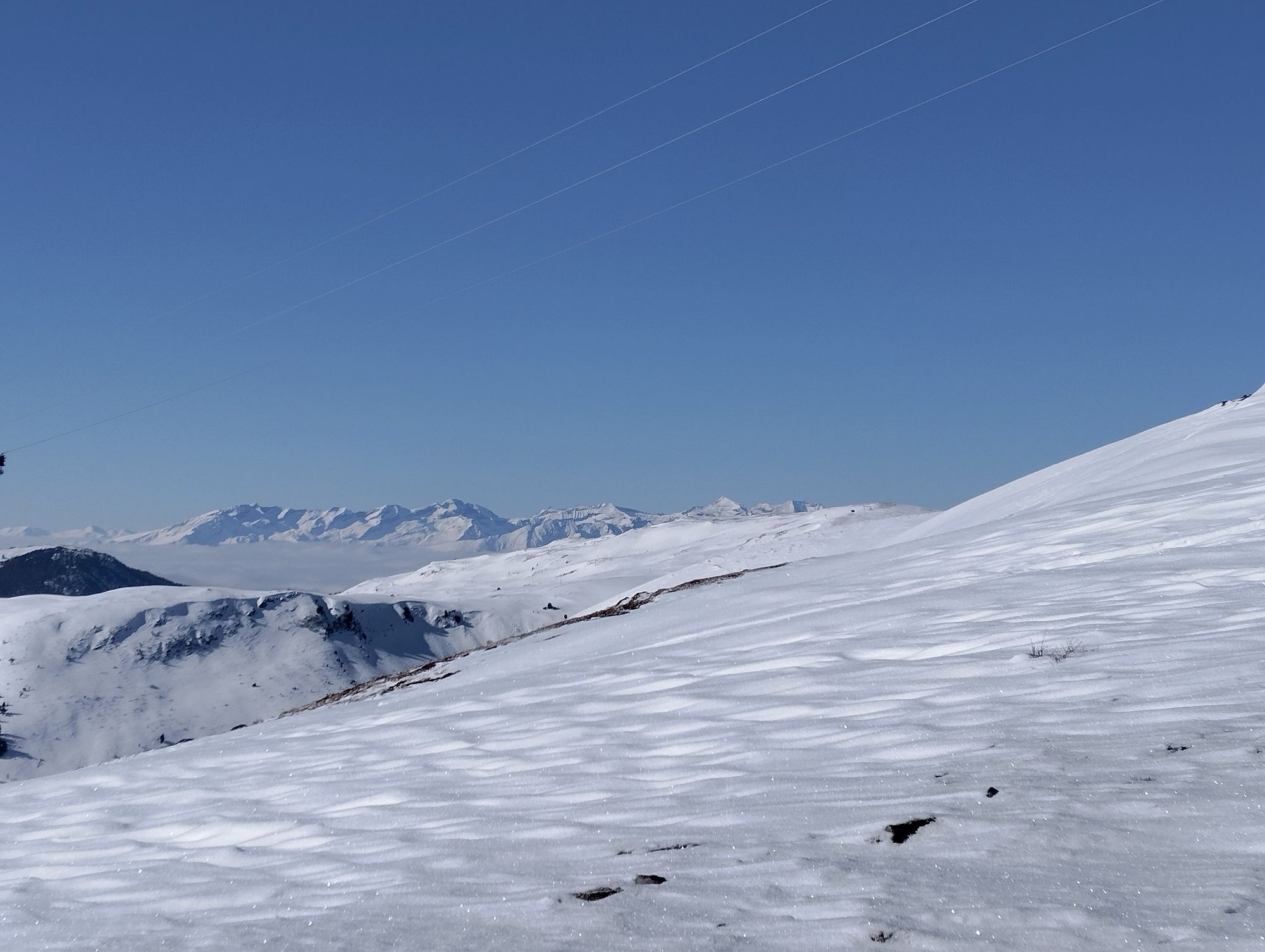
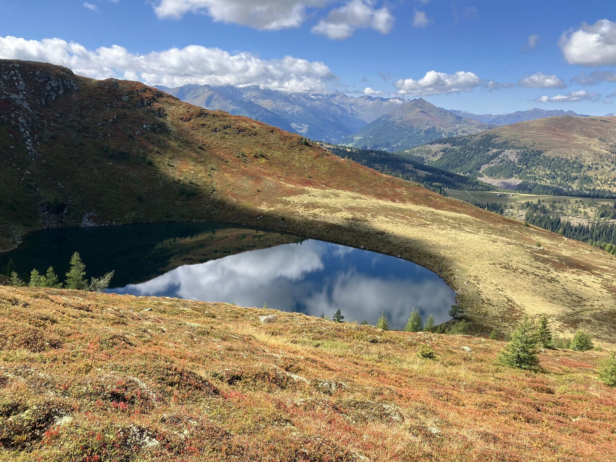
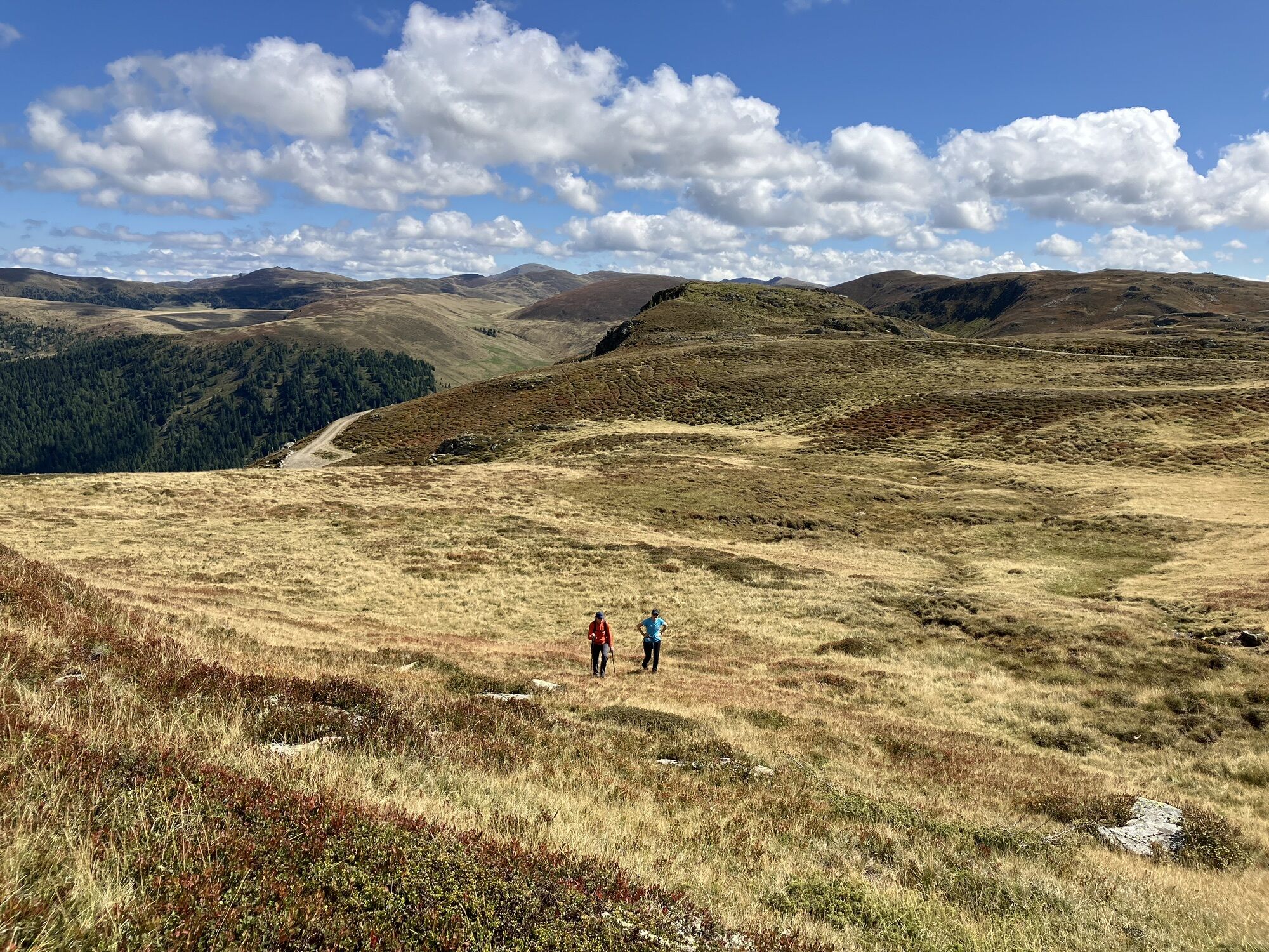
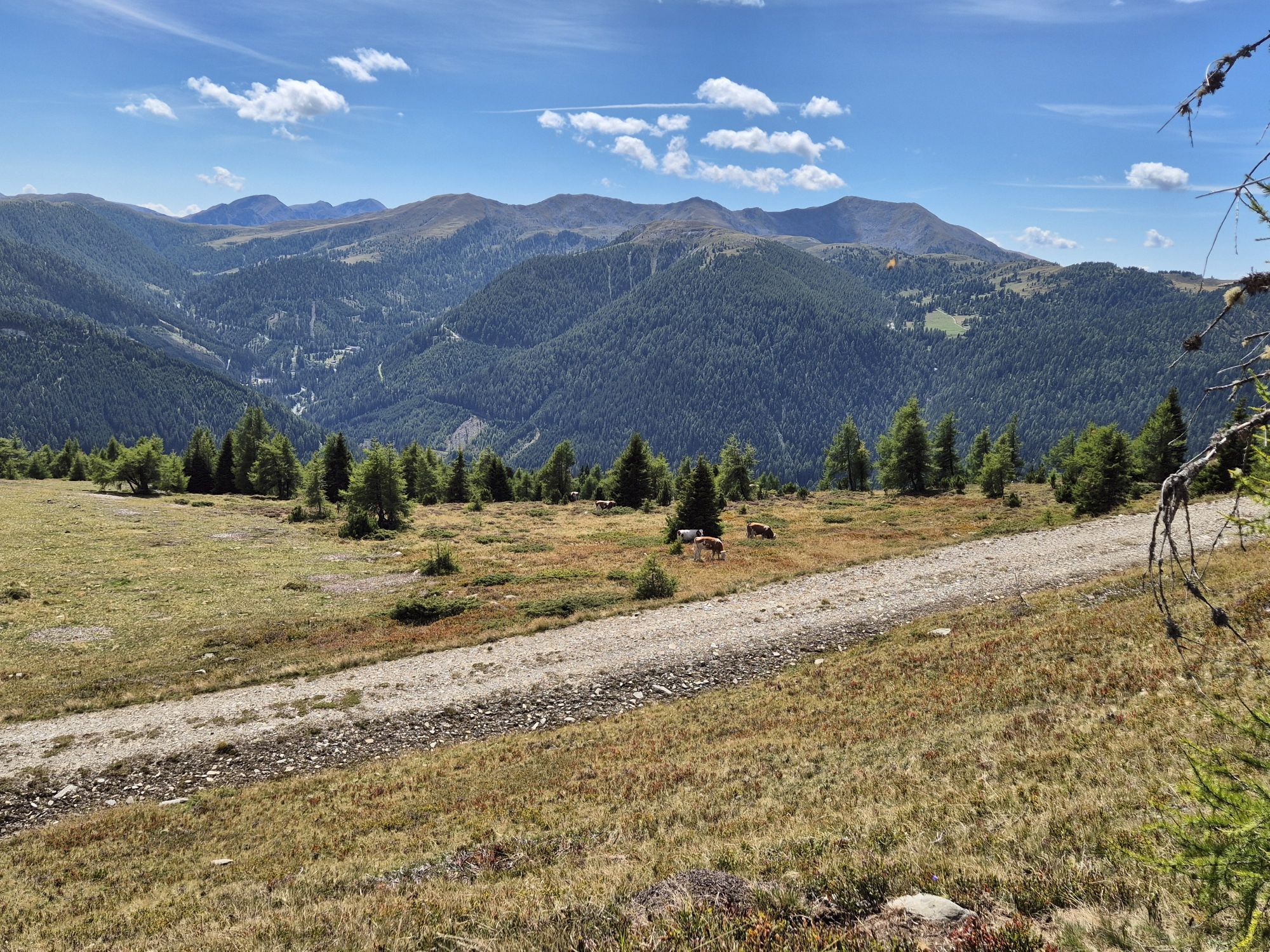
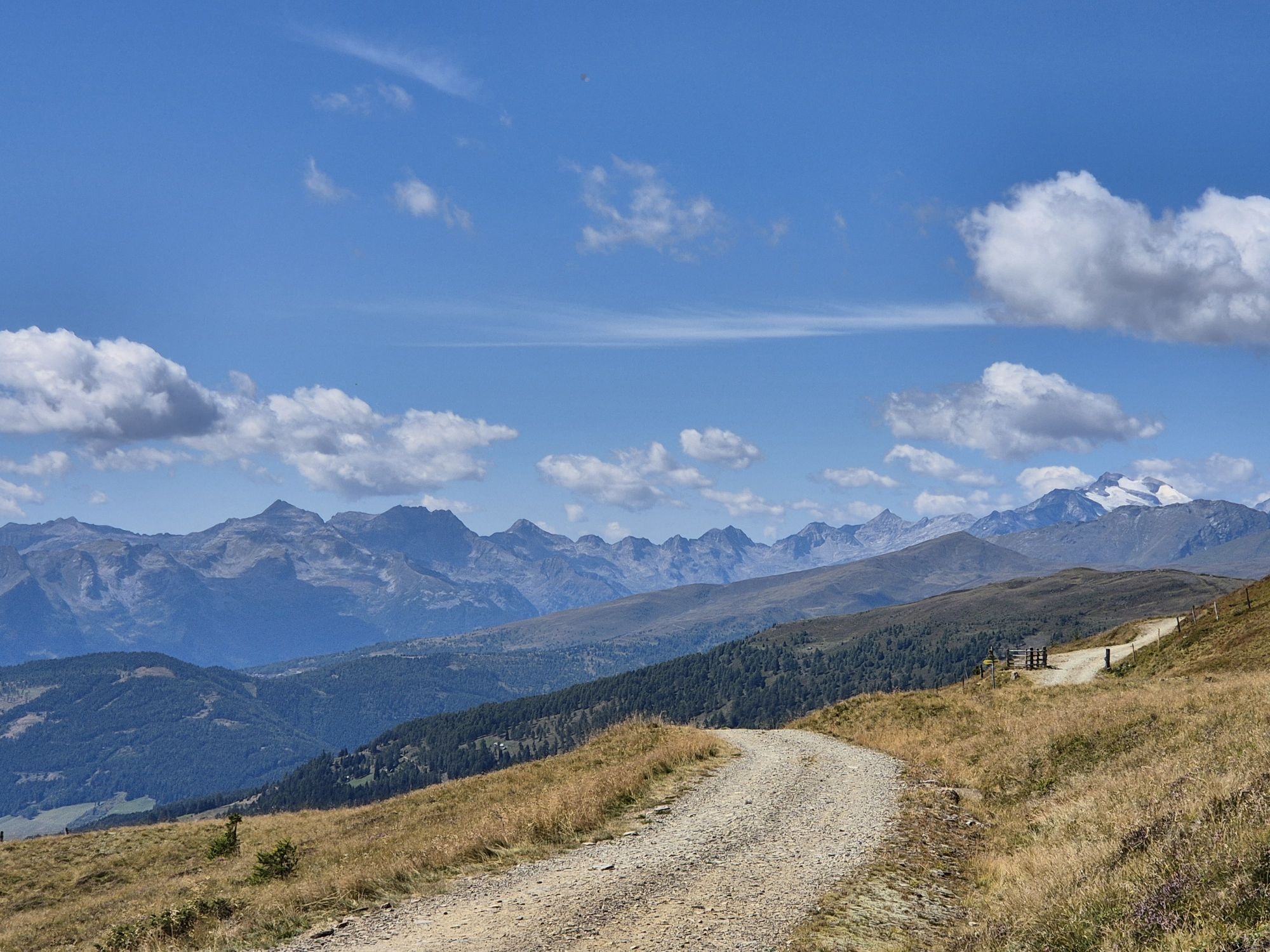
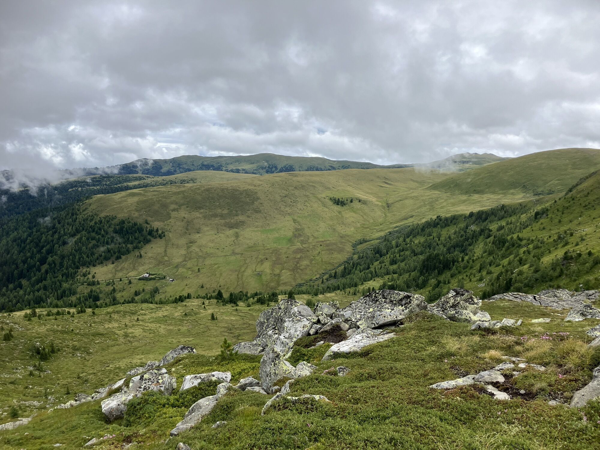
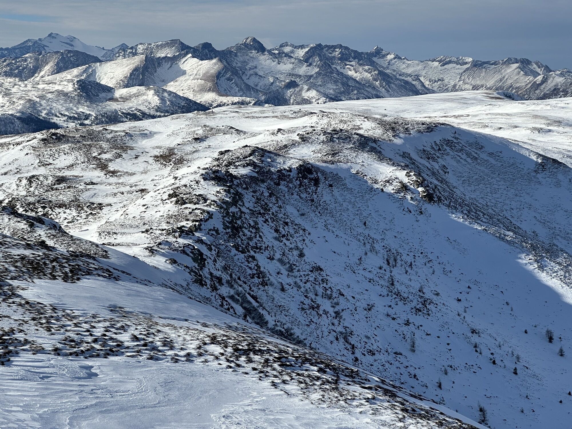
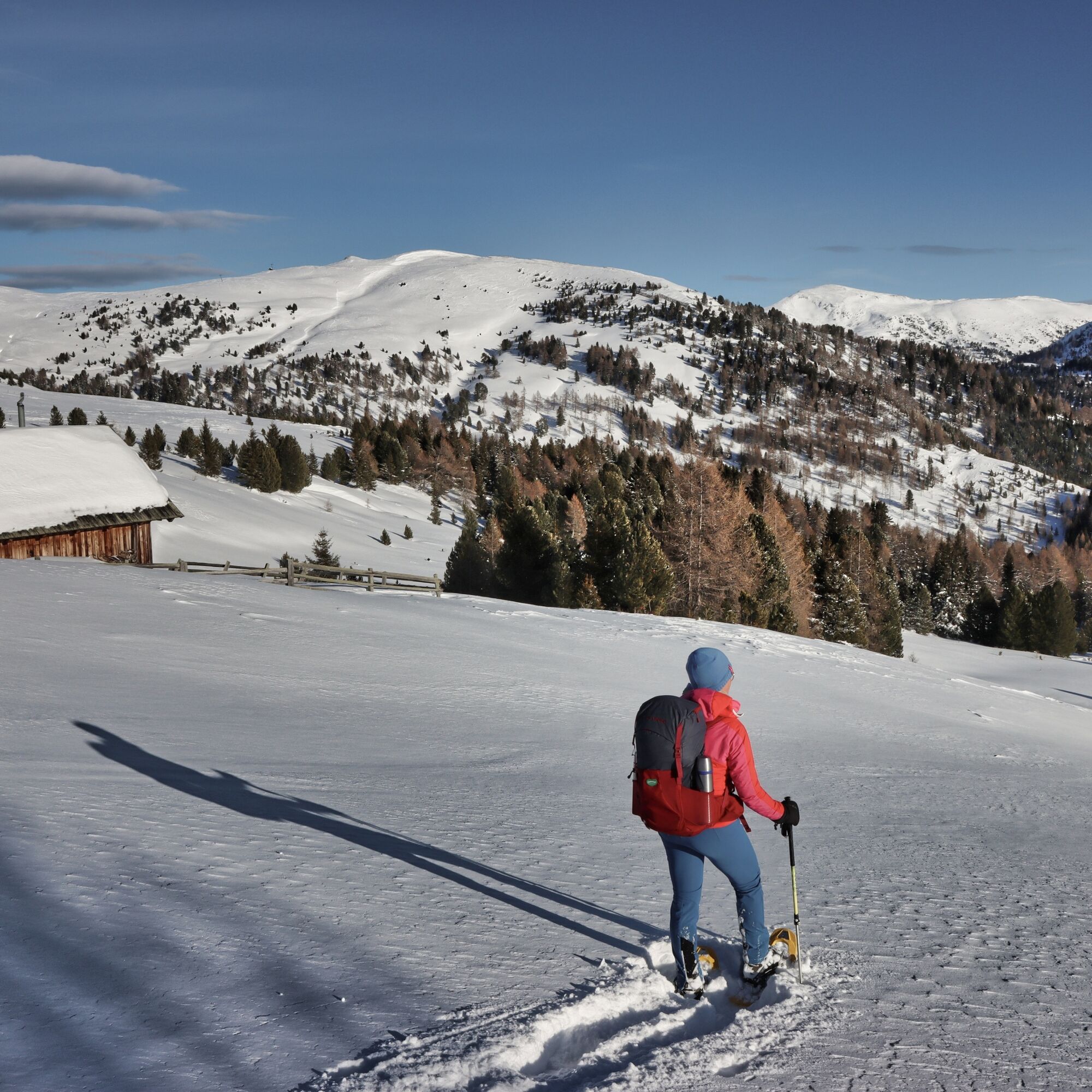
We start at the Neue Bonner Hut. First, we go up along a forest road to the Ebenwald Hut (1,810m), from where we follow the path a bit downhill until the next valley floor is reached. Here awaits the main ascent of the day: the path continues on the snowy forest road to the summer-operated Laußnitzer Alm (1,839m). The following ascent is wonderful: first through sparse larch forest, later over open slopes – always heading south – past the frozen Laußnitzer lake up to the Roter Riegel and shortly thereafter to the summit of the Schwarzwand (2,214m). This summit marks the start of a striking ridge, whose scenic crossing forms the most impressive section of this stage. You follow this ridge up to the summit of Gaipahöhe (2,192 m) and then a rather long descent of about 650 meters elevation follows, partly on prepared slopes, directly down to the day's destination Innerkrems.
Tip:
Hike carefree on the Nockberge Trail! The official Nockberge Trail info & booking center with the award-winning team of the Trail Angels is happy to support you. Whether advanced or beginner: hikers are in the best hands with the competent and helpful booking center team. Especially if they wish to combine personal freedom and the longing for the extraordinary with service, comfort and safety on their hike.
Information and booking:
Official Nockberge Trail Info & Booking Center
powered by Trail Angels
Obervellach 15, 9821 Obervellach
+43 4782 93093
info@nockberge-trail.com
www.nockberge-trail.com

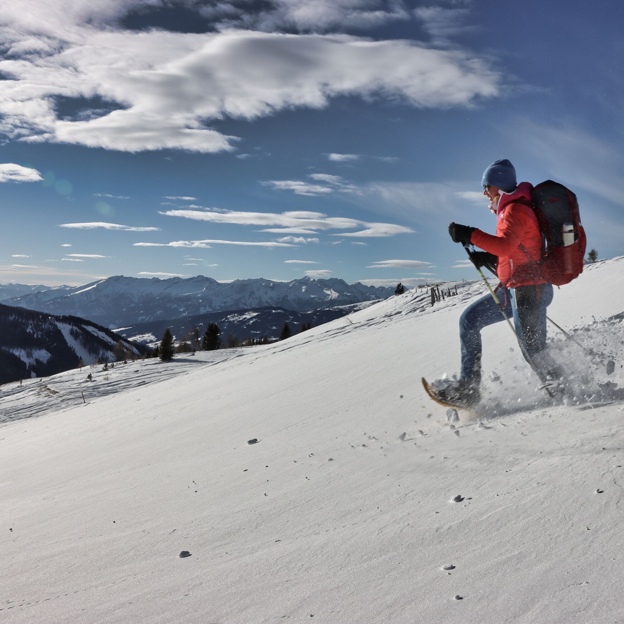
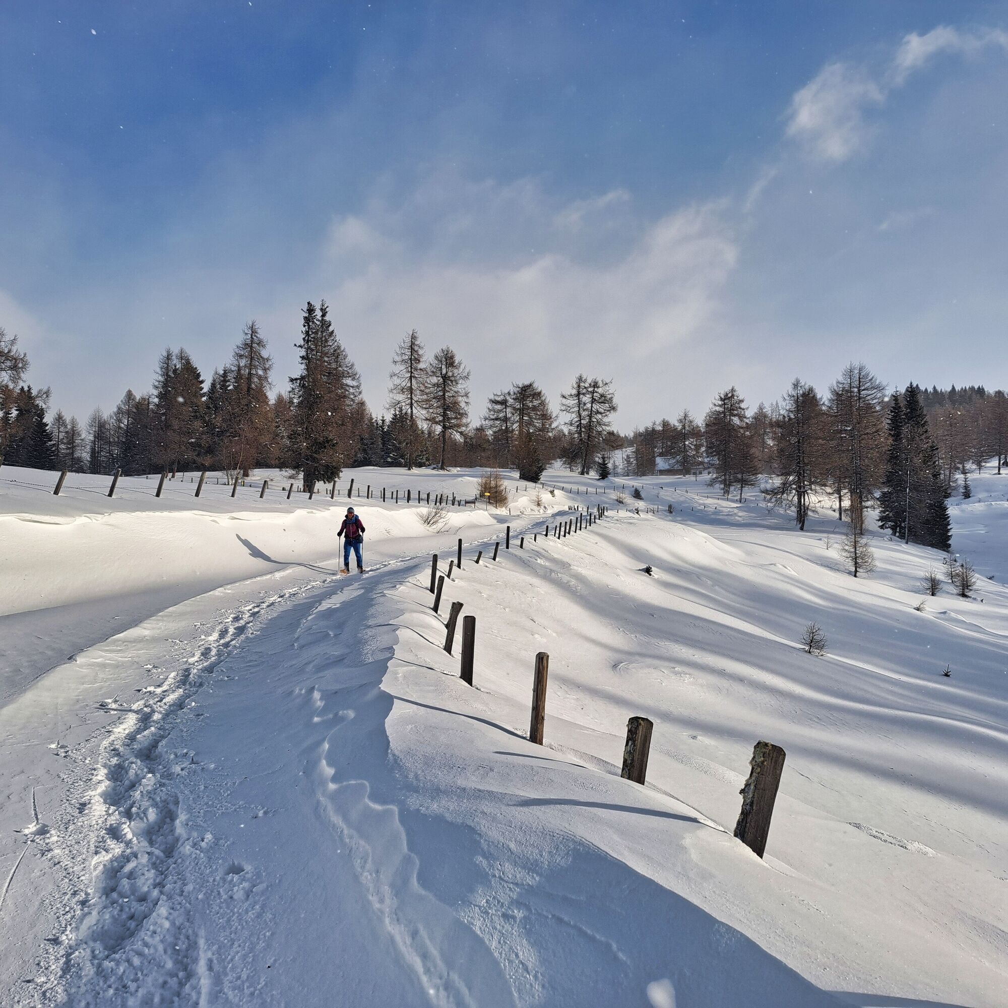
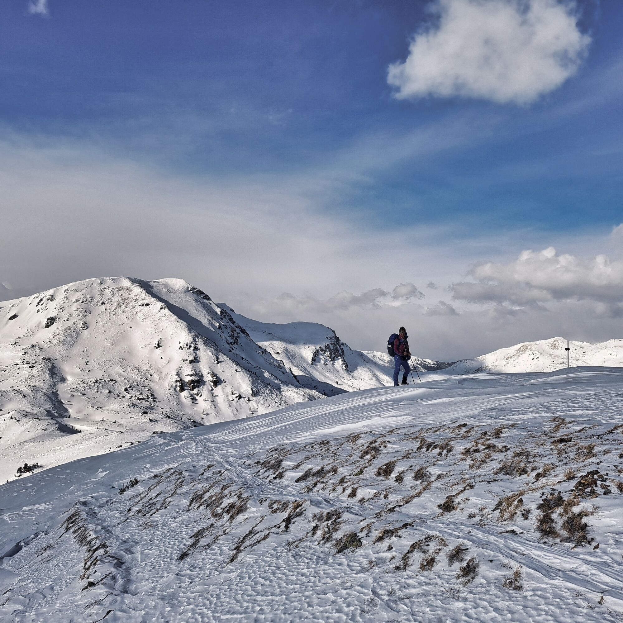
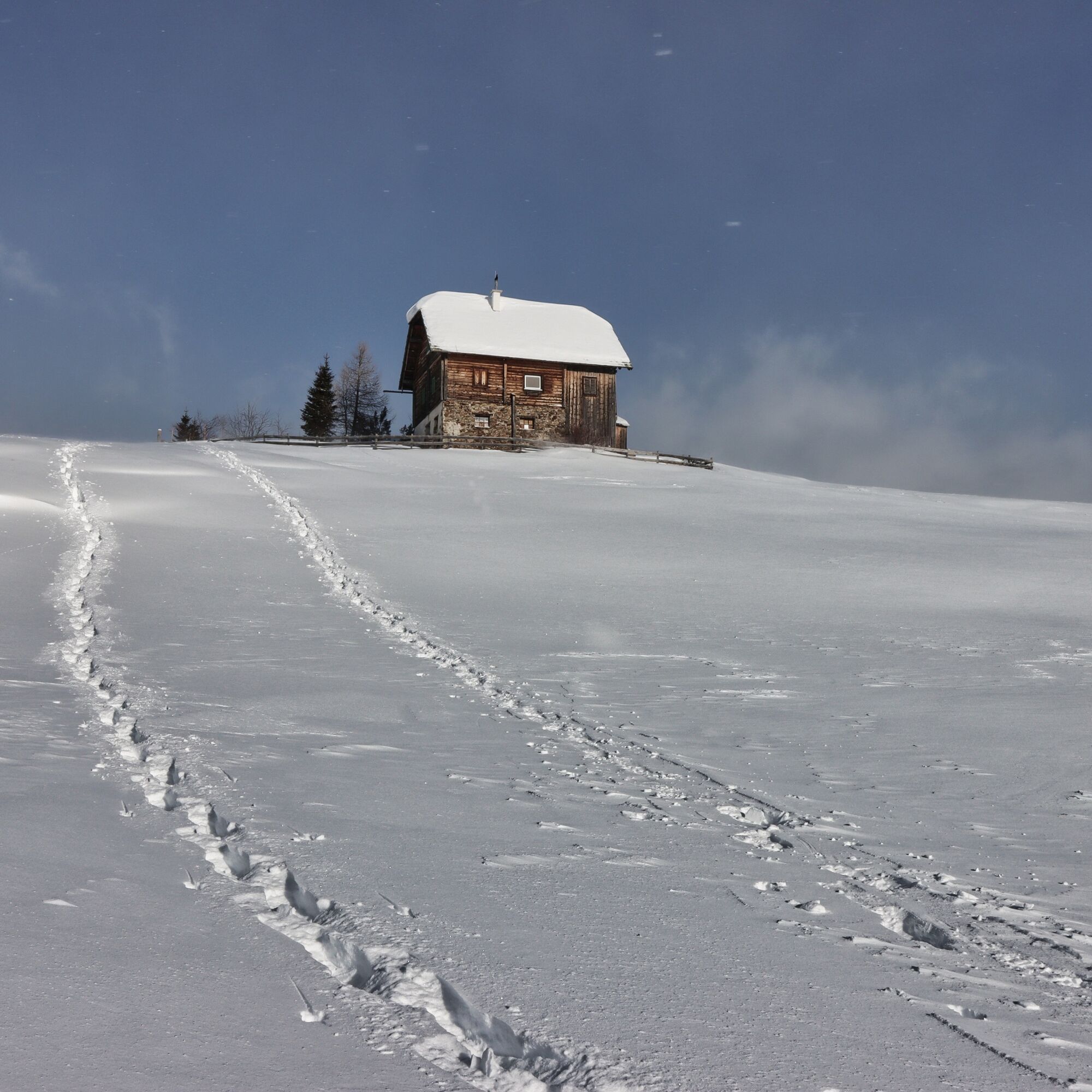
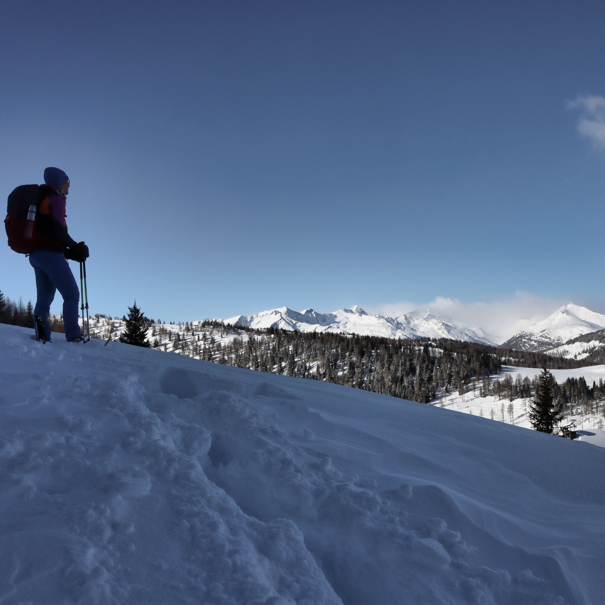
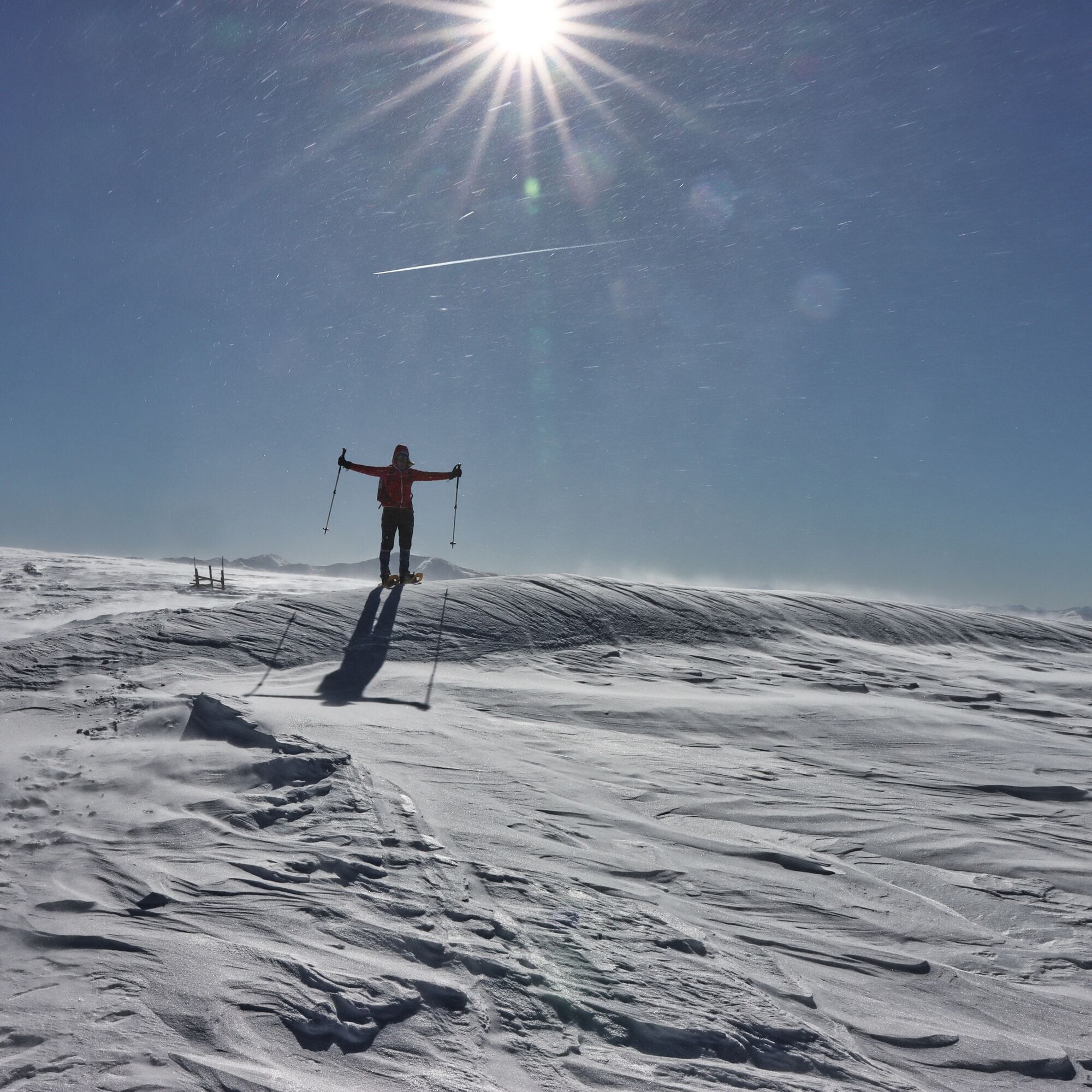
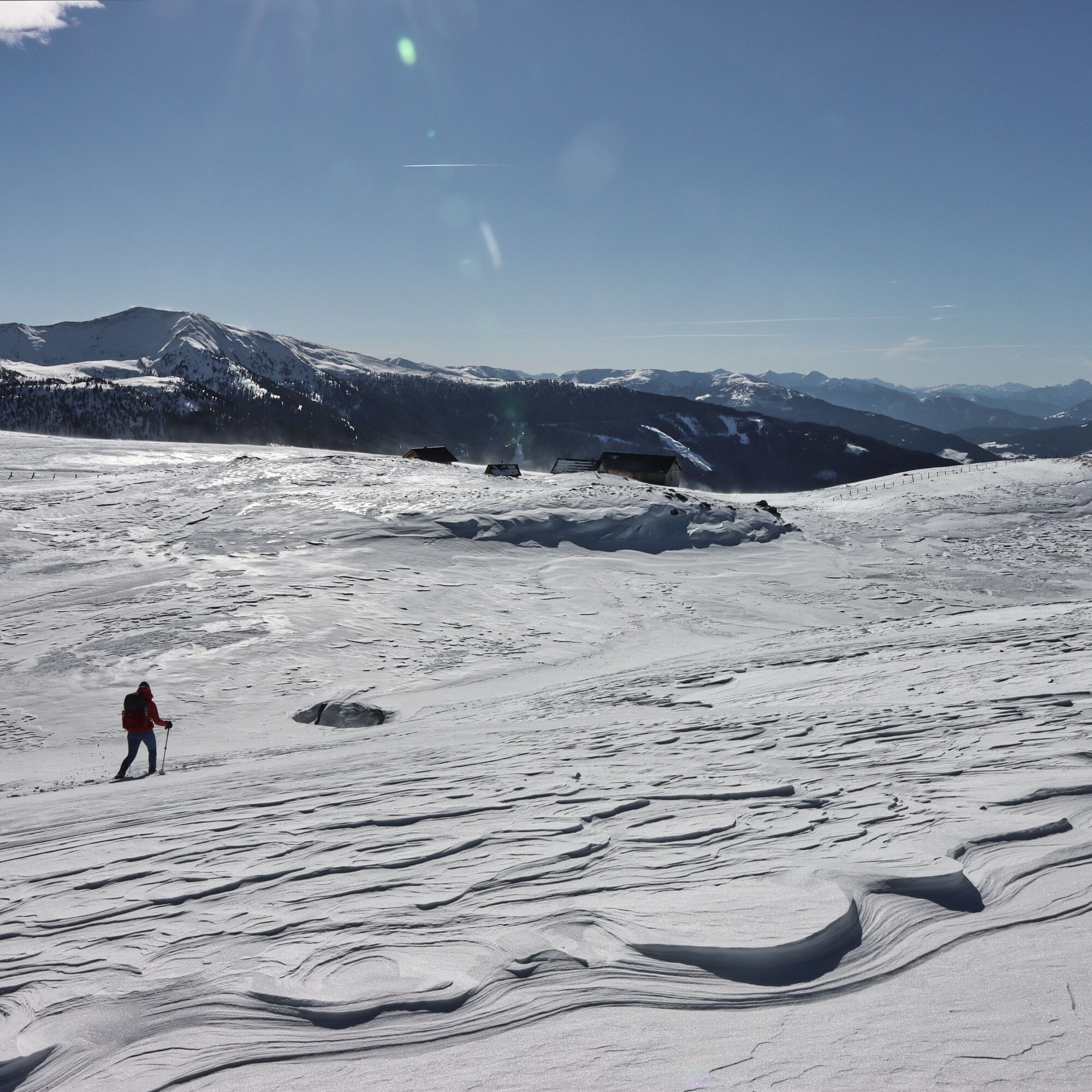
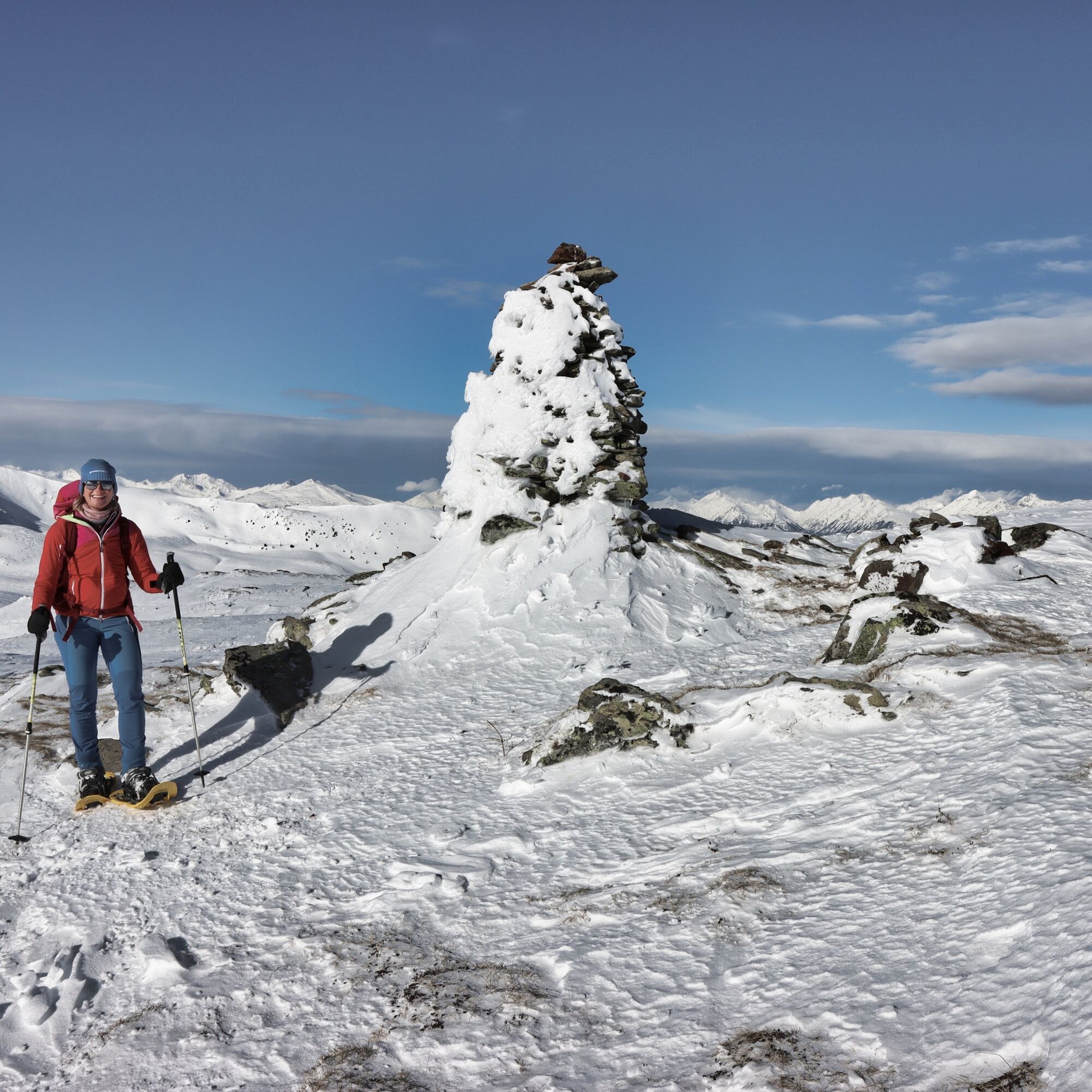
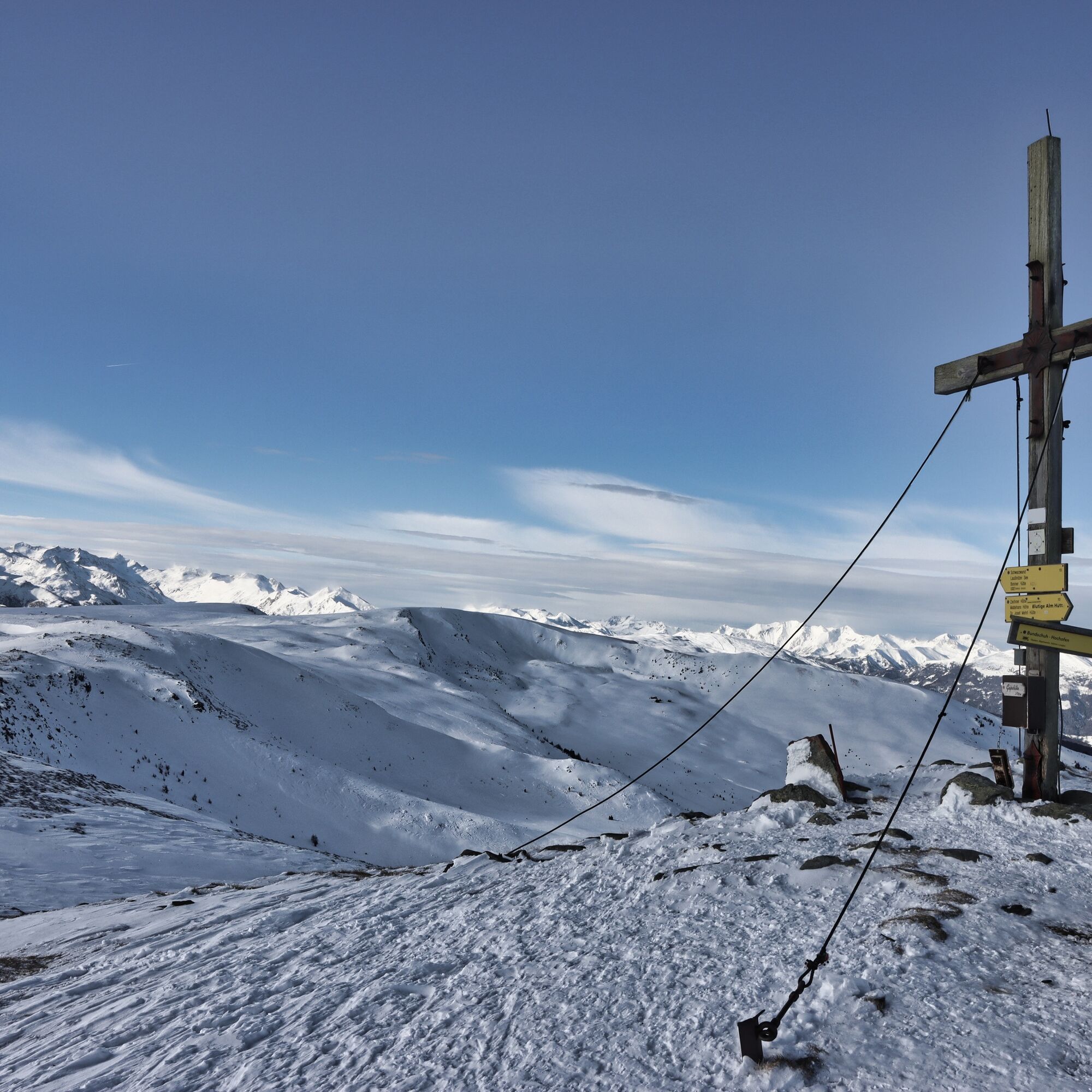
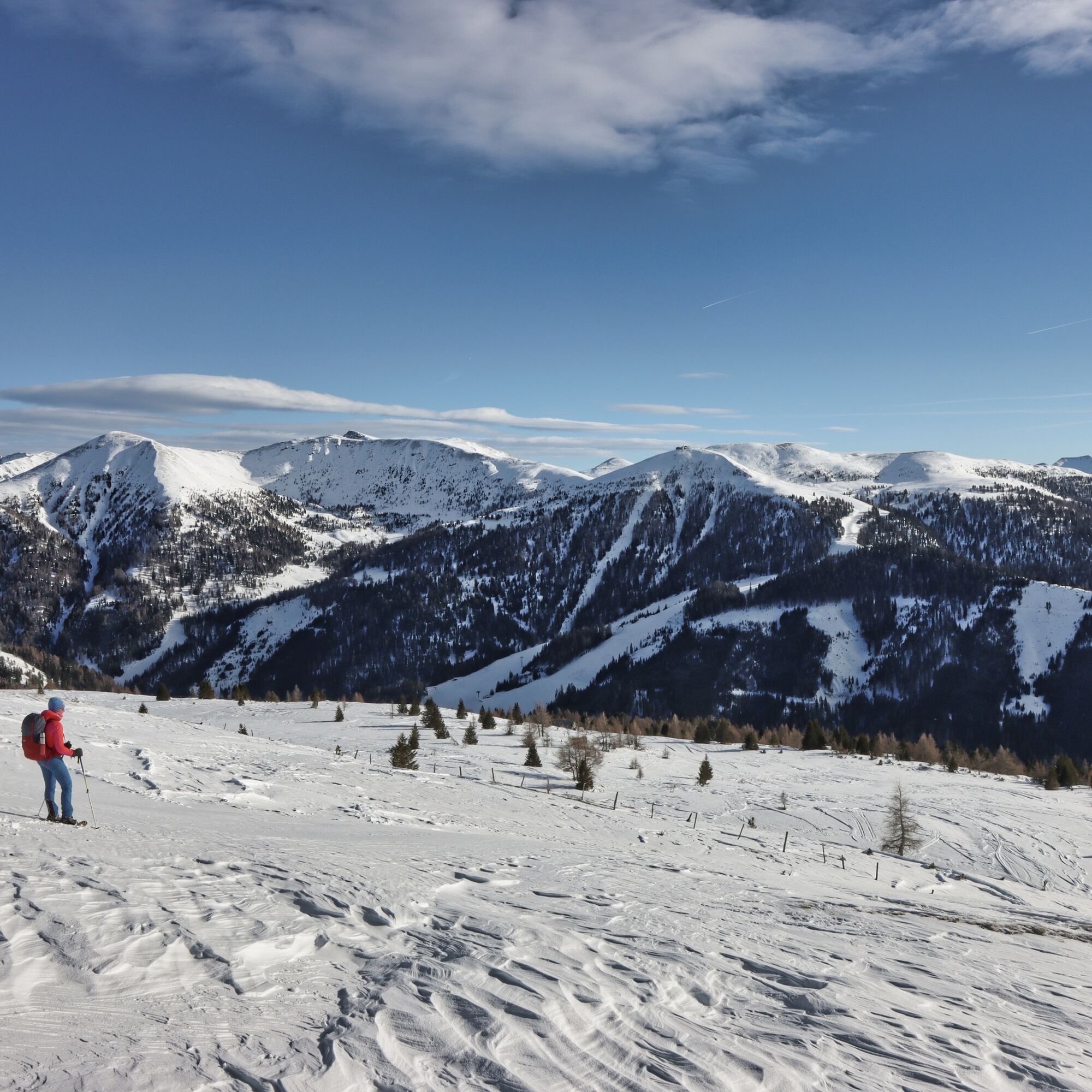

see description
General requirements for snowshoe hikers in steep terrain above the tree line who are hiking without a guide/skibergführer. They must...
be able to read and appropriately interpret the avalanche report be able to resolve multiple burial of two to three people using avalanche transceiver, probe and shovel know a recognized method for avalanche risk management and be able to apply it (Stop and Go, Snowcard etc.) master ascent and descent techniques with snowshoes have good basic endurance be able to determine location in the terrain using map and compass as well as operate a GPS have a solid understanding of orientation, alpine hazards, first aid and weatherNo car access possible in winter.
There is no public transport access to the Neue Bonner Hut
No parking possible at the Neue Bonner Hut in winter.
The stages of the Nockberge Trail can also be found in the Carinthia Tour Guide app, the ideal companion on site! Here is the download link for the iPhone App Store and for Android on Google Play.
Attention: Since there is mostly no network reception in the Nockberge, it is recommended to download the respective stage offline in advance to be able to navigate smoothly!
Avalanche warning service Carinthia: www.lawine.ktn.gv.at
Mountain weather Carinthia: www.zamg.ac.at/cms/de/wetter/produkte-und-services/bergwetter/kaernten
Webcams Katschberg: www.katschi.at/wetter.html
Webcam Innerkrems: https://www.bergfex.at/innerkrems/webcams
In bad weather or strong wind, it is recommended to descend southeast at the Schwarzwand to the Otthütten and then go via Brugger Alm and Morawitzer Alm in the wind-protected and snow-safe area north of the main ridge to the Größing Alm and from there ascend again to the south to the Blutige Alm. You emerge between Gaipahöhe and Zechner Höhe and then descend from there on the normal route down to Innerkrems.
Kamery internetowe z trasy
Uzyskaj wgląd
Zawsze na żywo z ponad 9 500 kamer internetowych. bergfex Jako użytkownik Pro, możesz teraz zobaczyć odpowiednie kamery internetowe dla wielu wycieczek w aplikacji wycieczki od. Pozwala to na bezpośredni podgląd aktualnych warunków.
Popularne wycieczki w okolicy
-
4,9
Schönfeld: Großer Königstuhl
średniWędrówka 11,2 km -
4,1
Schlögelbergrundweg Nr. 82 (Wasserweg Leisnitz)
średniWędrówka 5,15 km -
4,7
19, 97 Herzerl trail to the Gamskogelhütte
światłoTrasa tematyczna 3,83 km -
4,3
Pritzhütte
światłoWędrówka 3,38 km -
4,9
Gr. Königsstuhl, Nockalm, Kärnten
średniWycieczki górskie 7,15 km -
4,9
Nockbergrundwanderweg
średniWędrówka 6,62 km -
4,7
Große Rosennock Runde
Wędrówka 9,80 km -
4,6
Rundweg Aineck
średniWędrówka 14,1 km -
4,6
97 circular hike Gontalrunde, Katschberg - Gontalscharte - Gontal
Wędrówka 9,33 km -
4,5
Peitlernock, Hohe Pressing, Bärenaunock
średniWędrówka 9,16 km
Wędrówki i tropienie


Nie przegap ofert i inspiracji na następne wakacje
Twój adres e-mail została dodana do listy mailingowej.





