







Dobratsch circuit

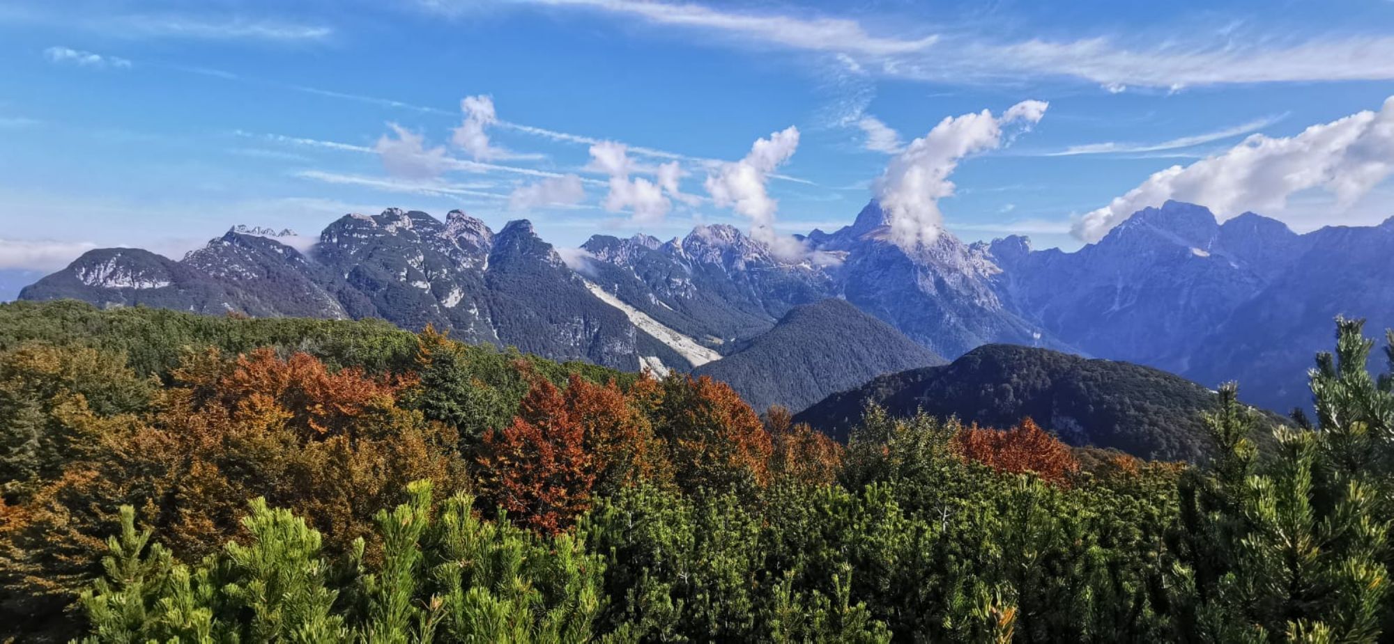
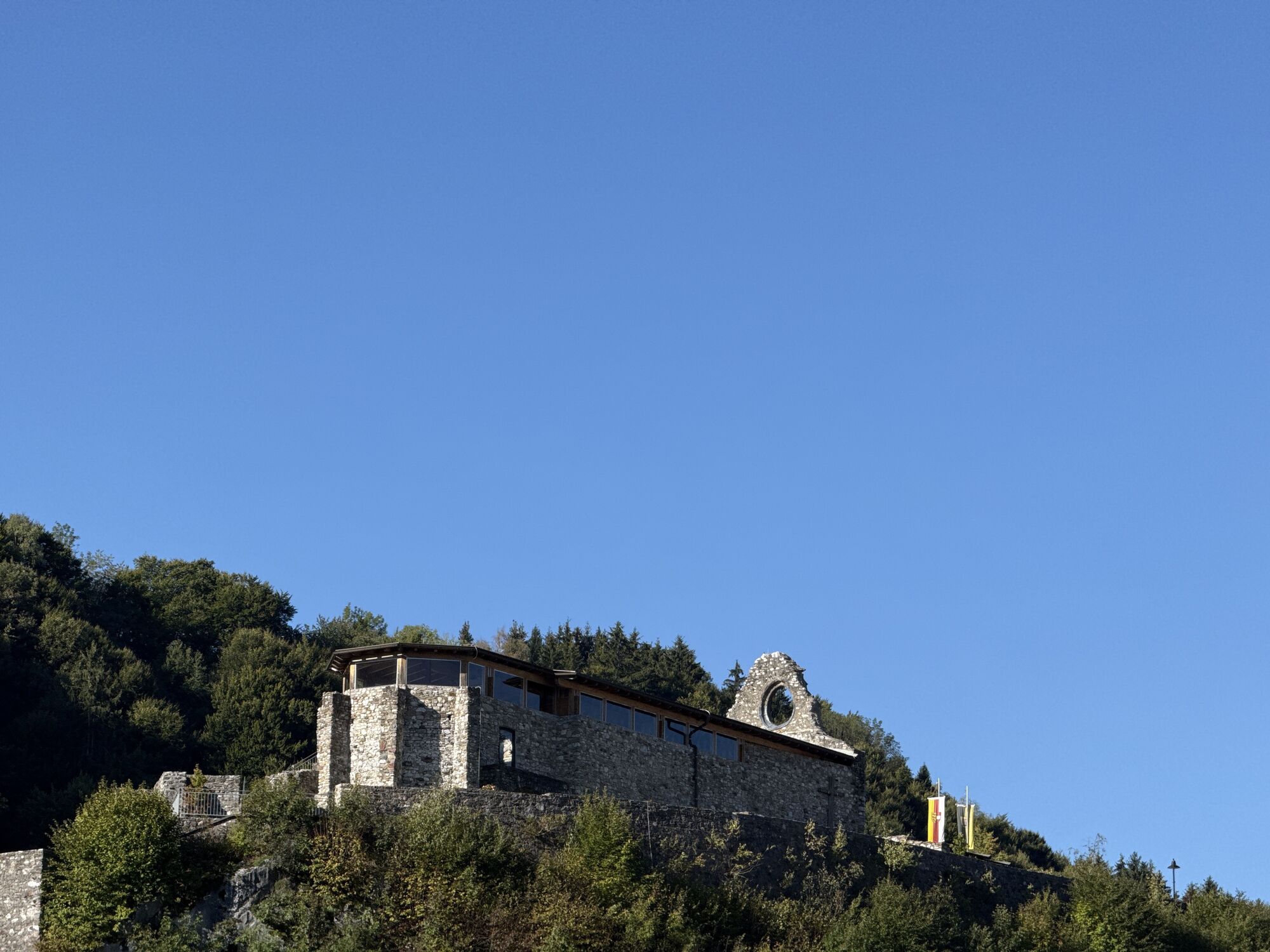
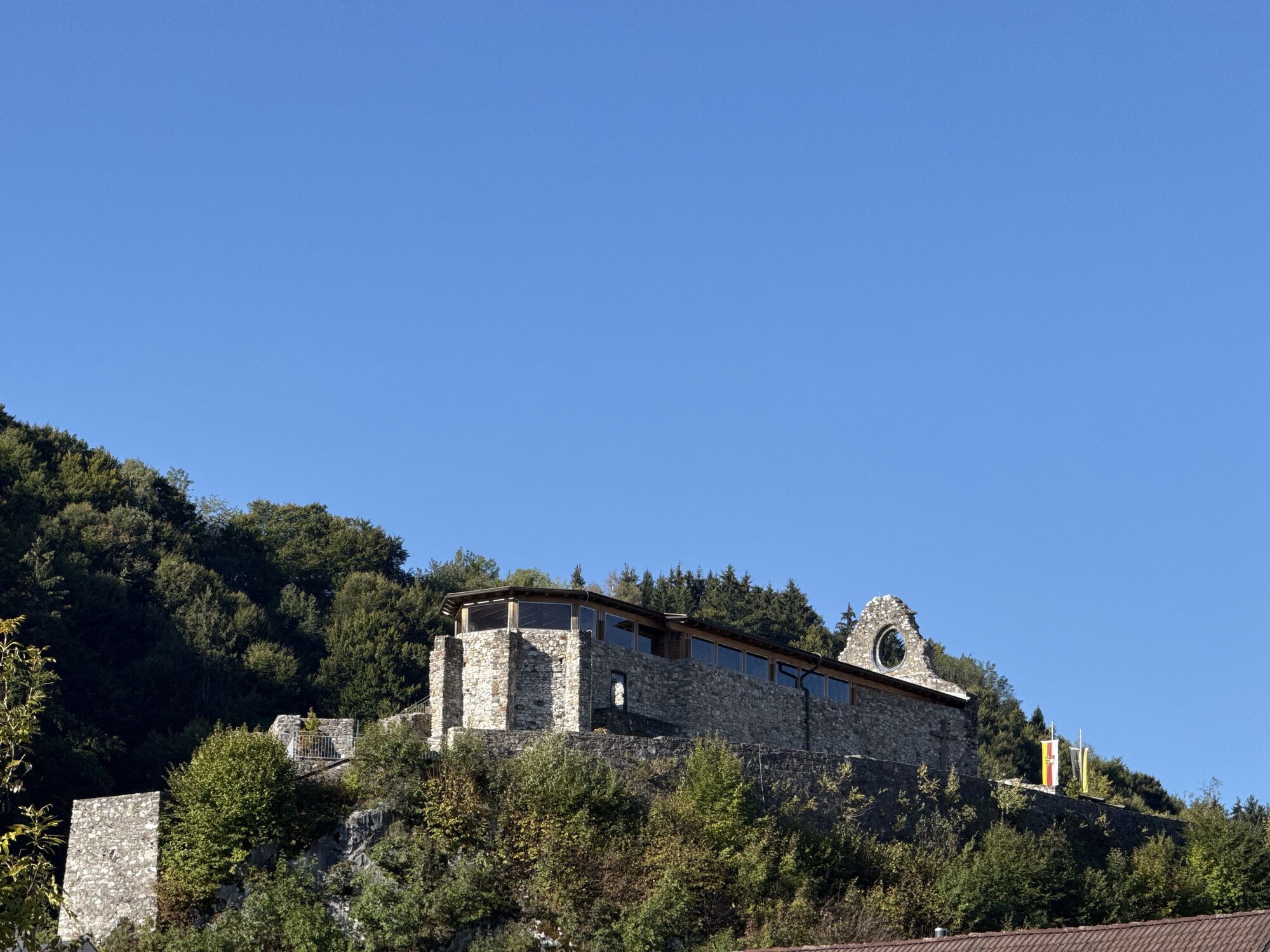
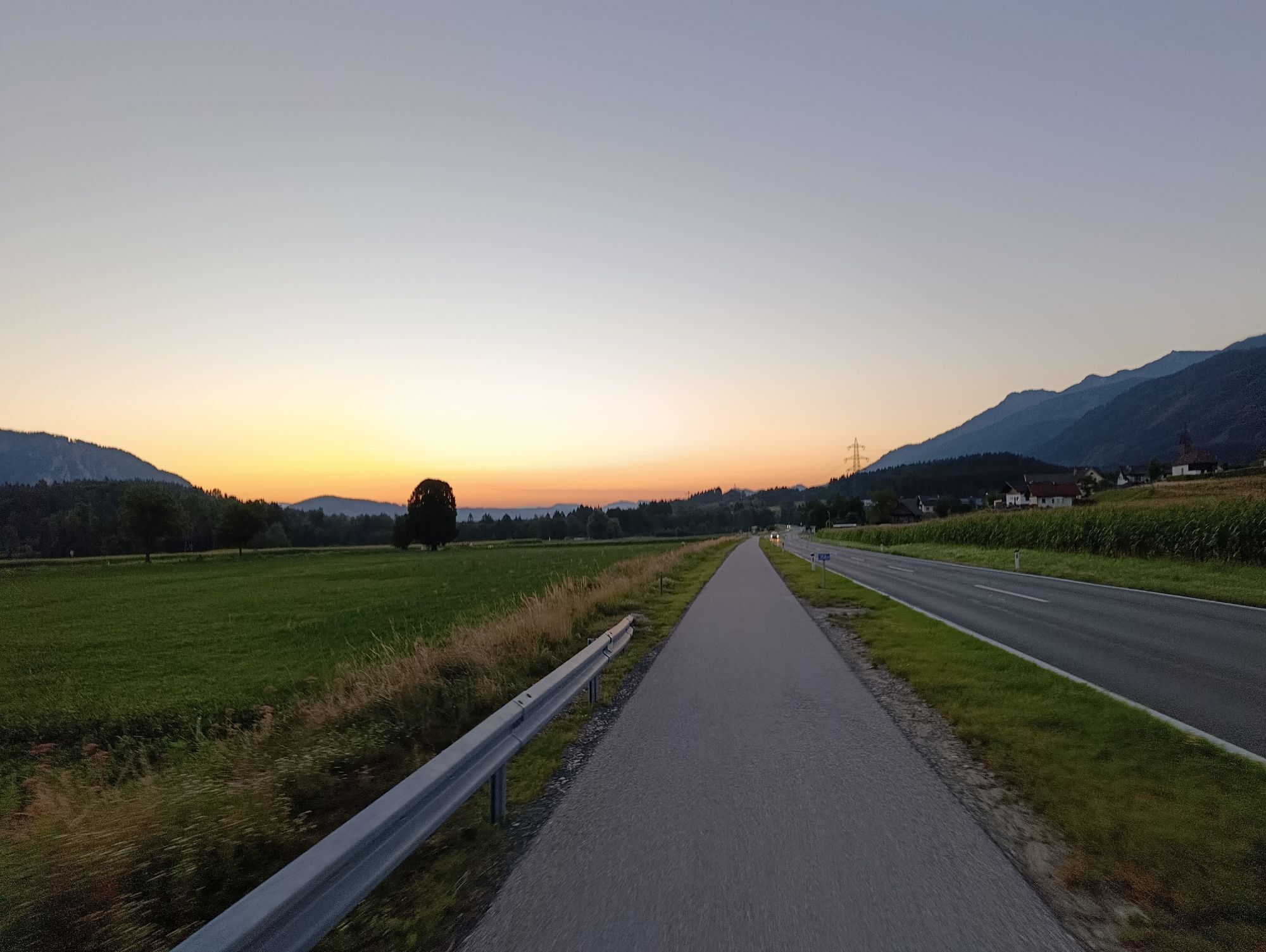
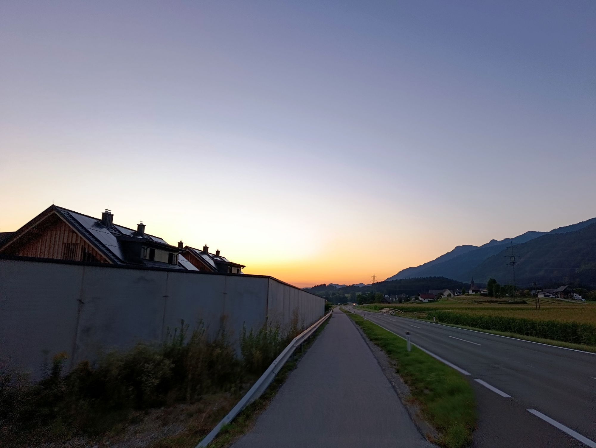
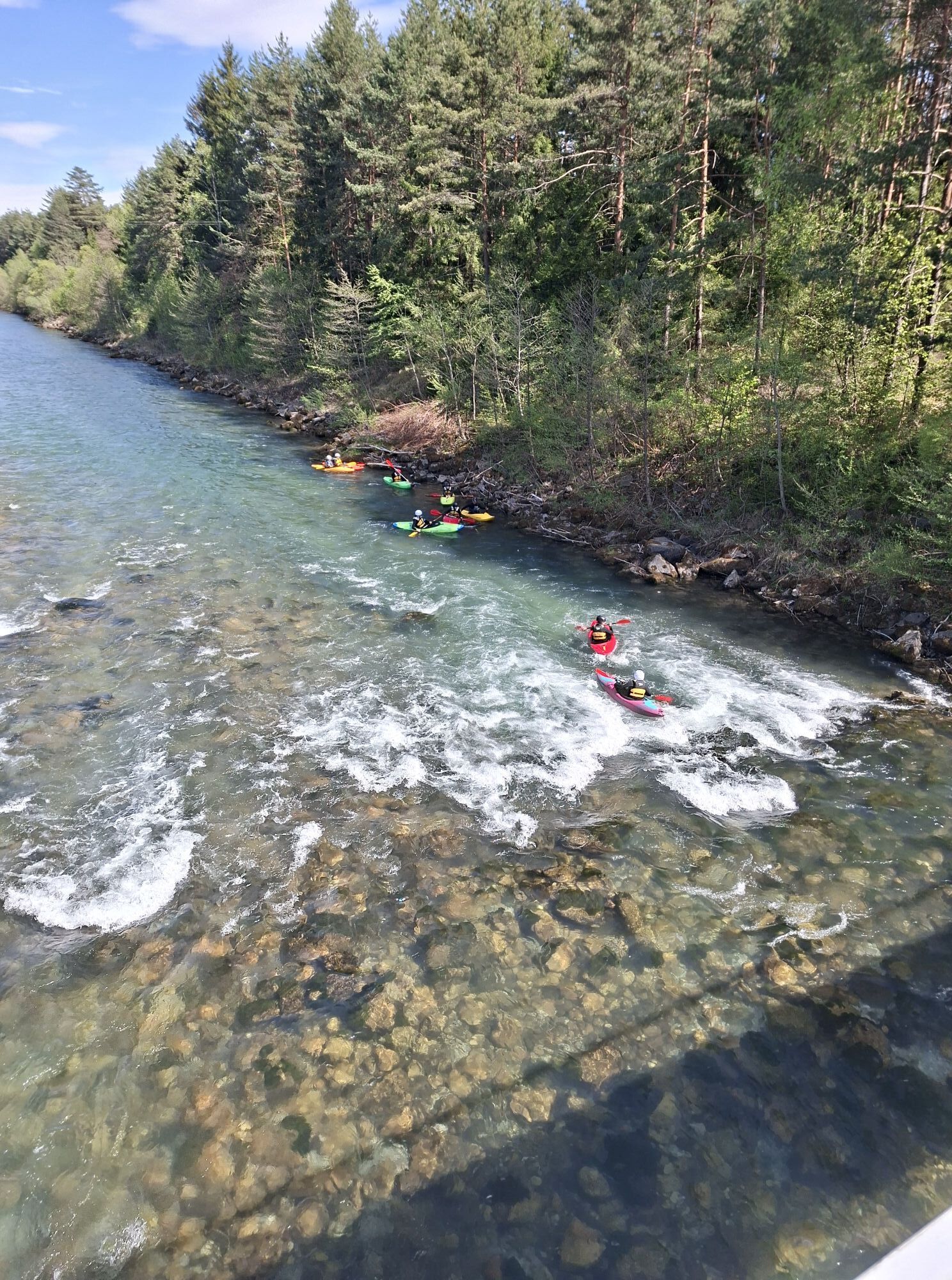
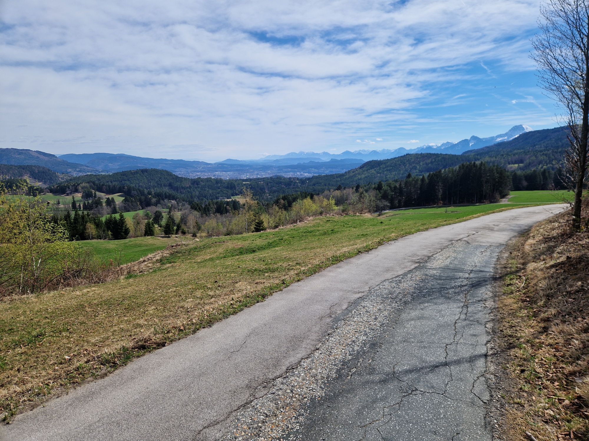
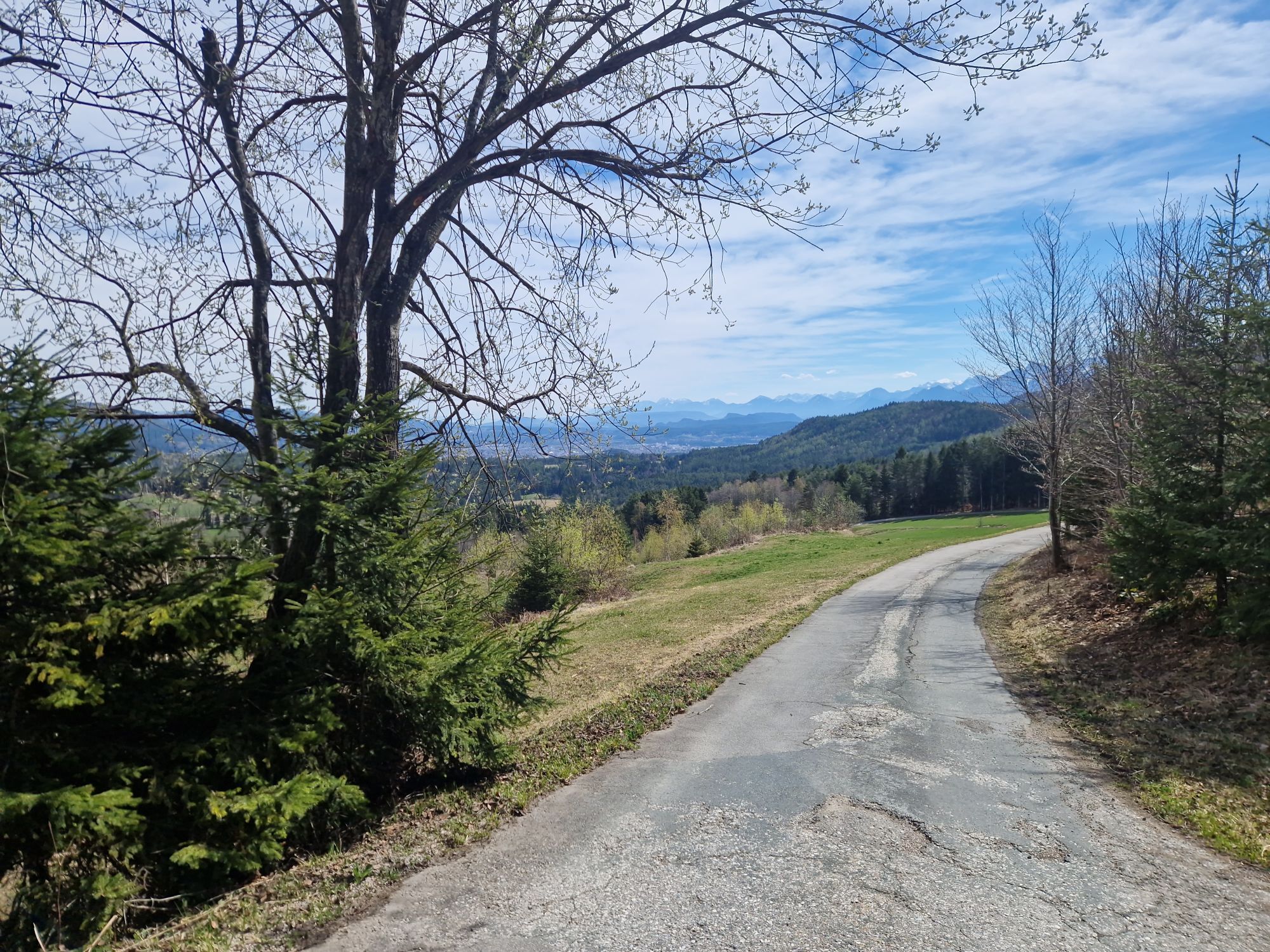
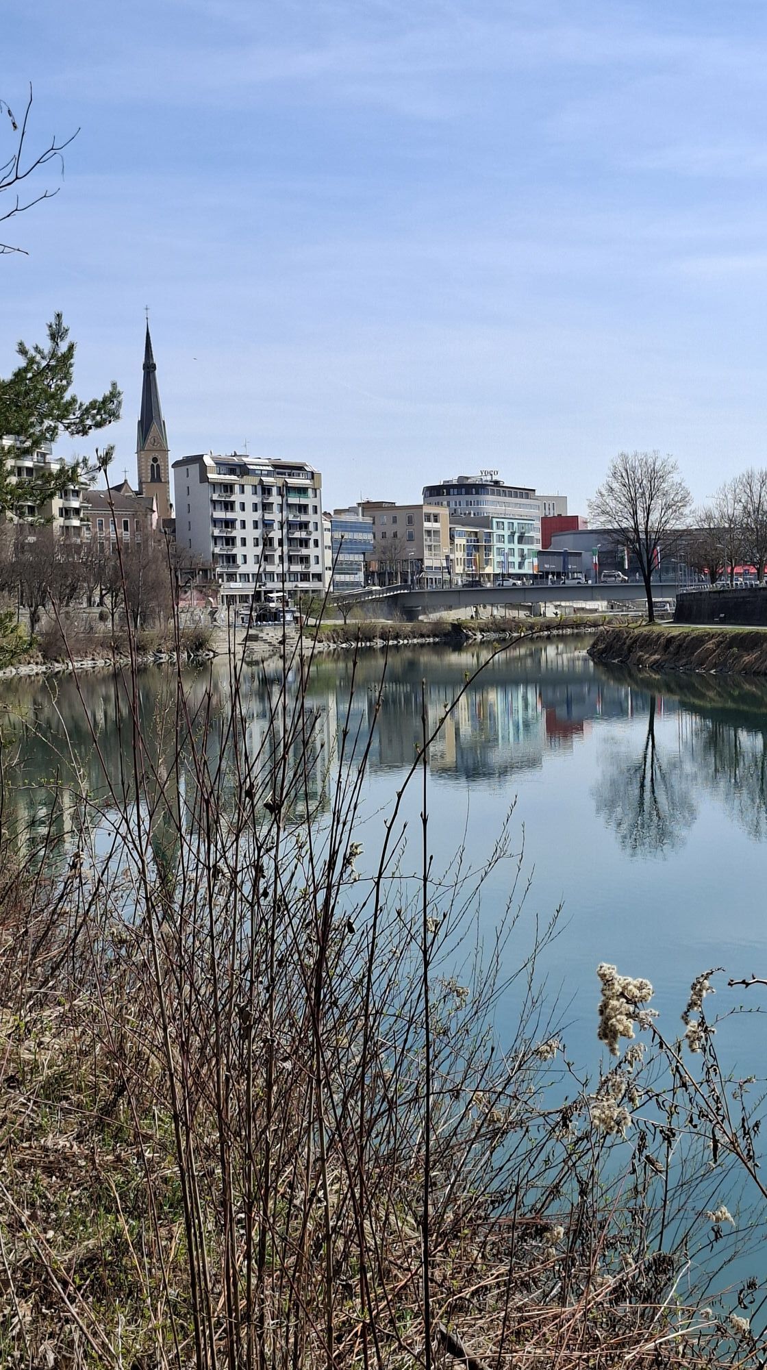
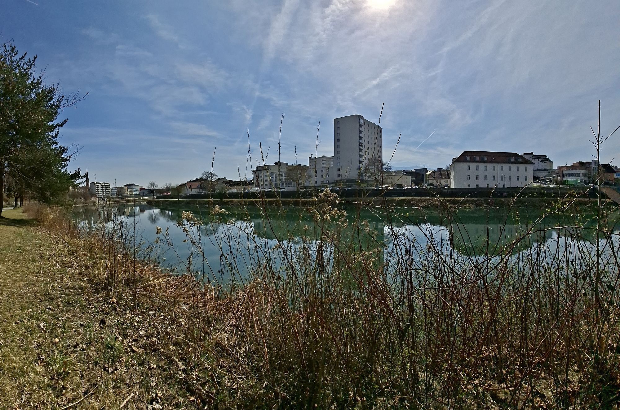
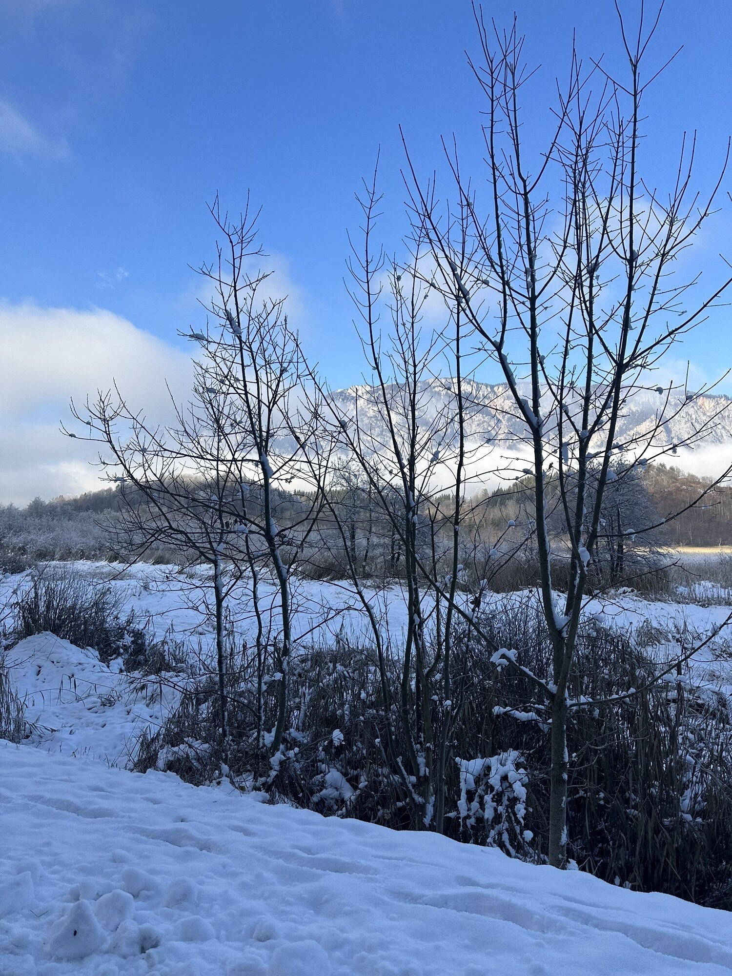
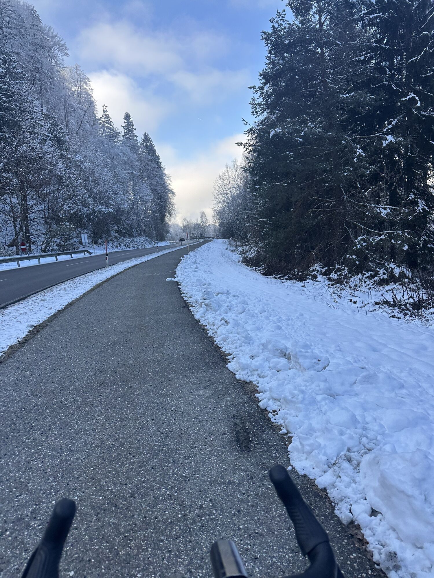


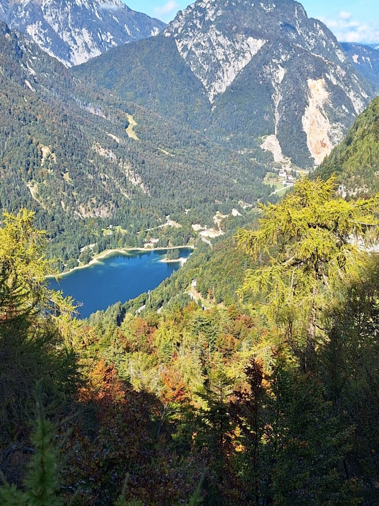
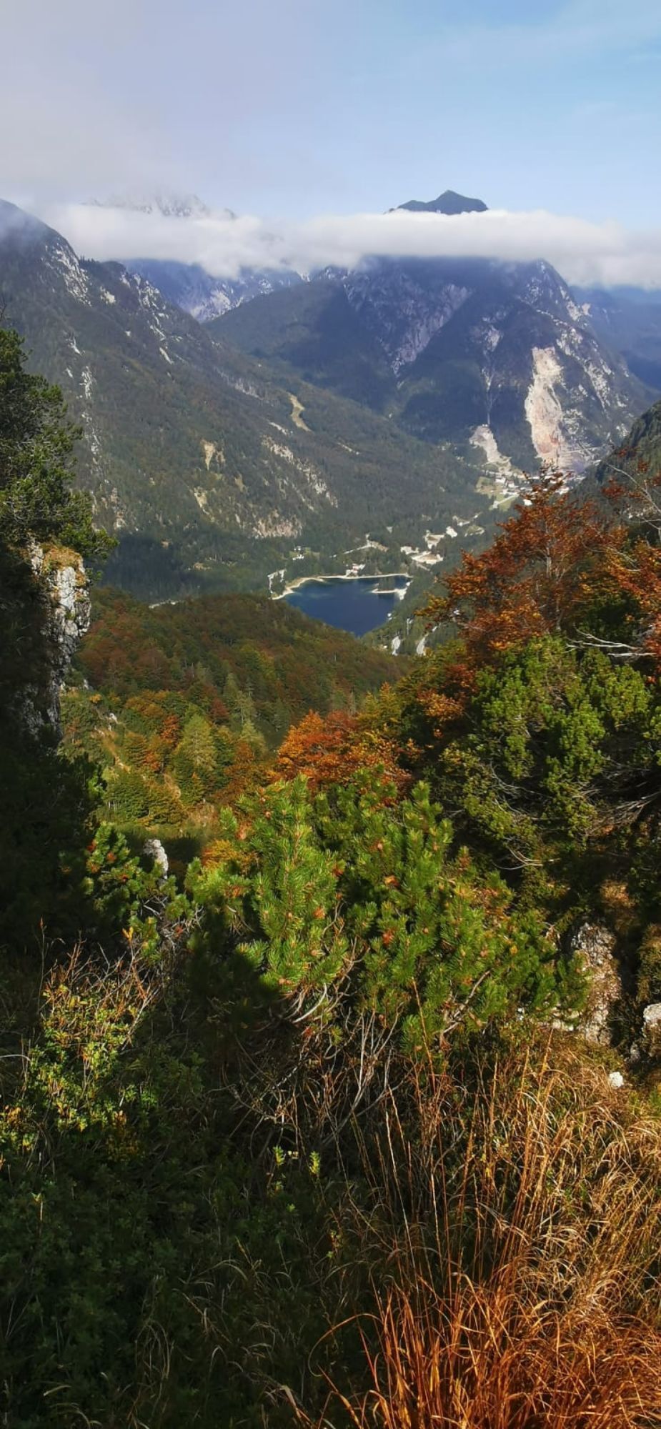
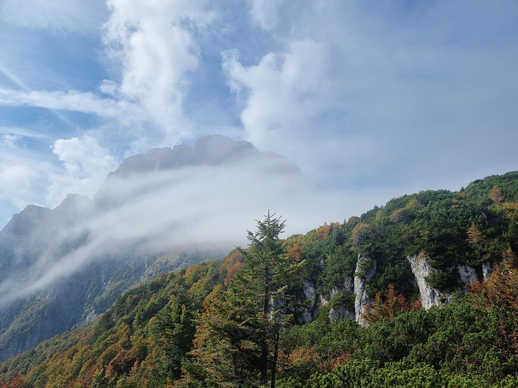
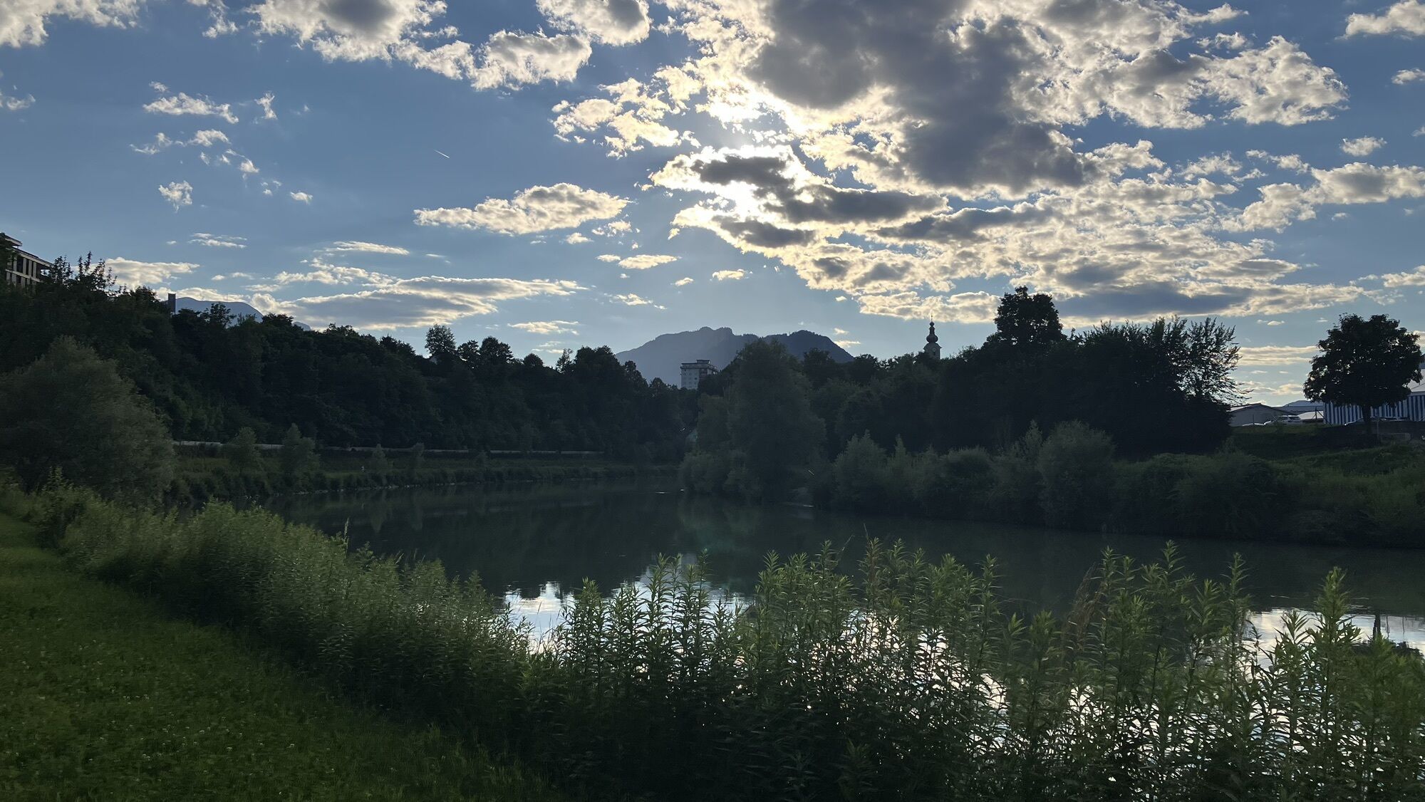
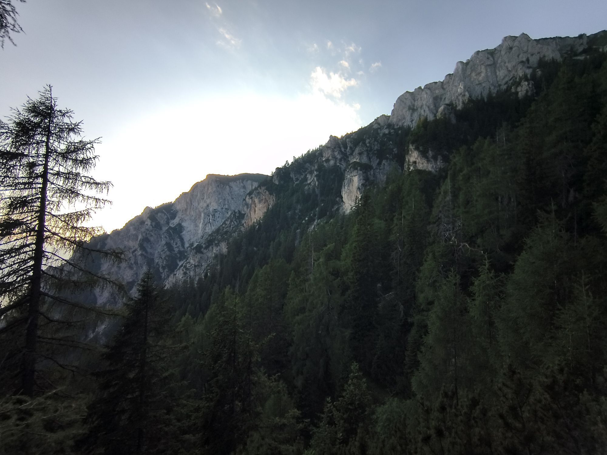
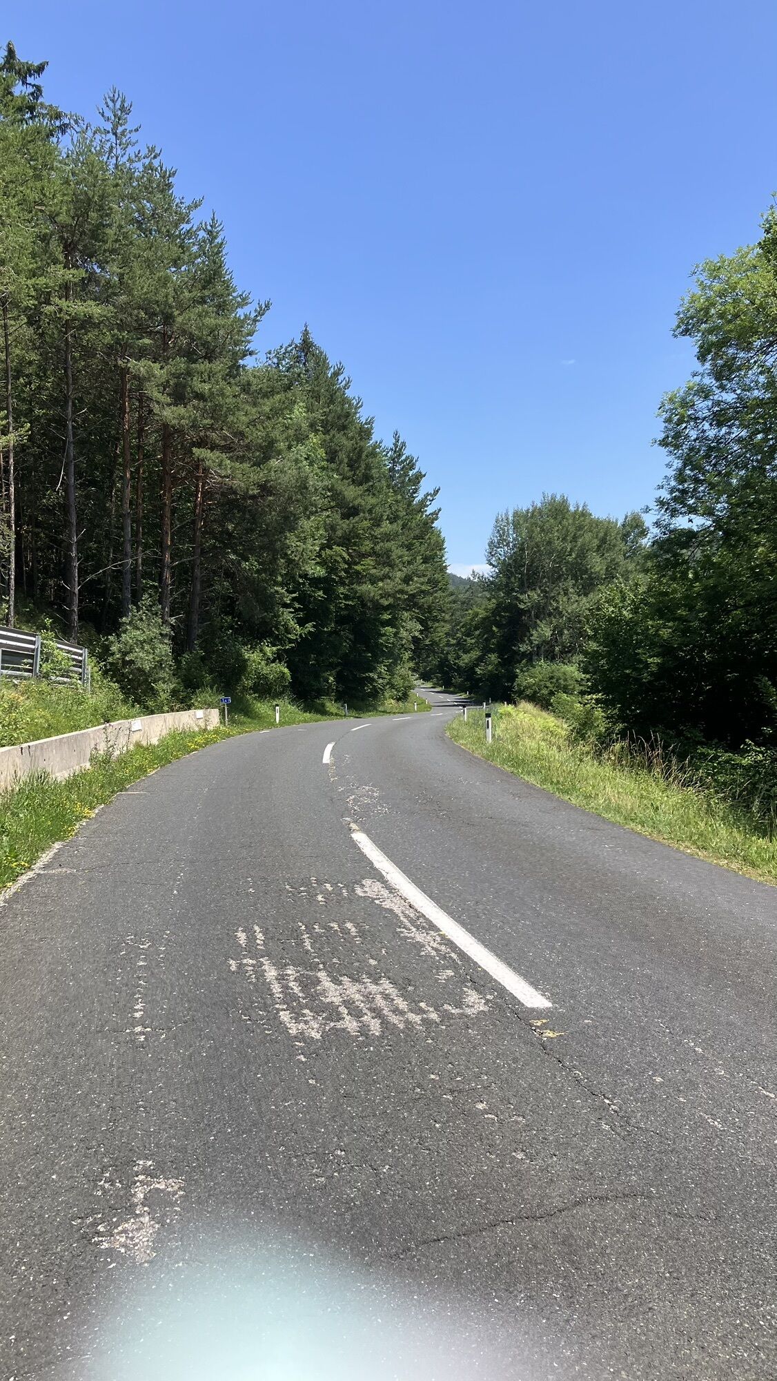
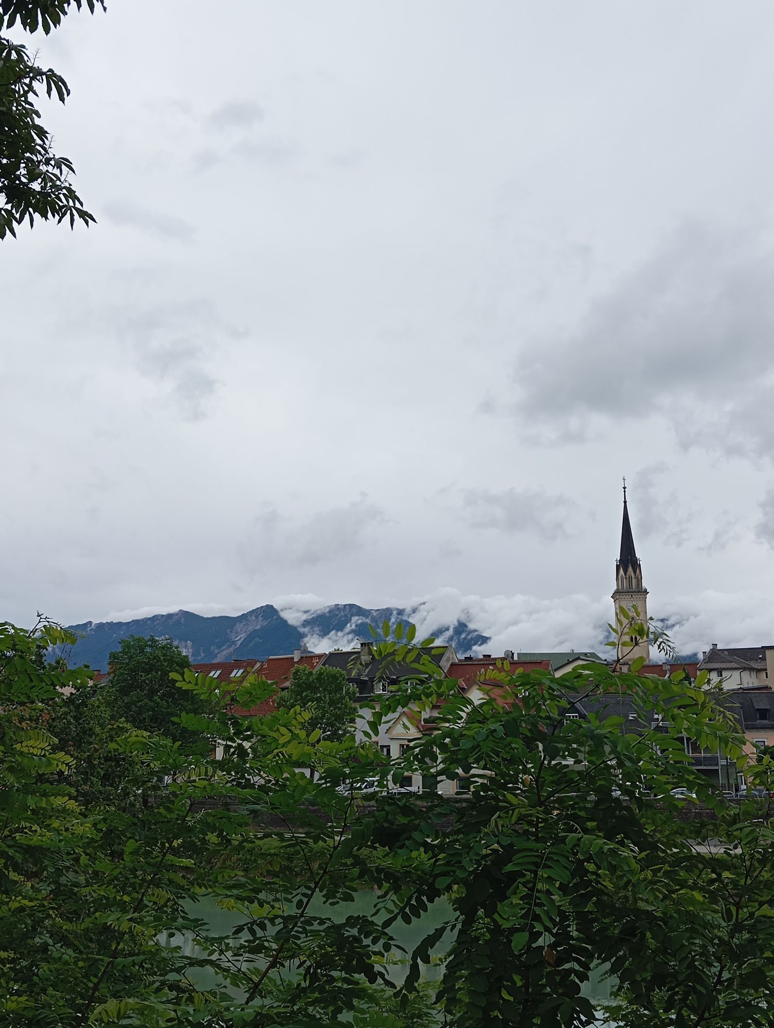
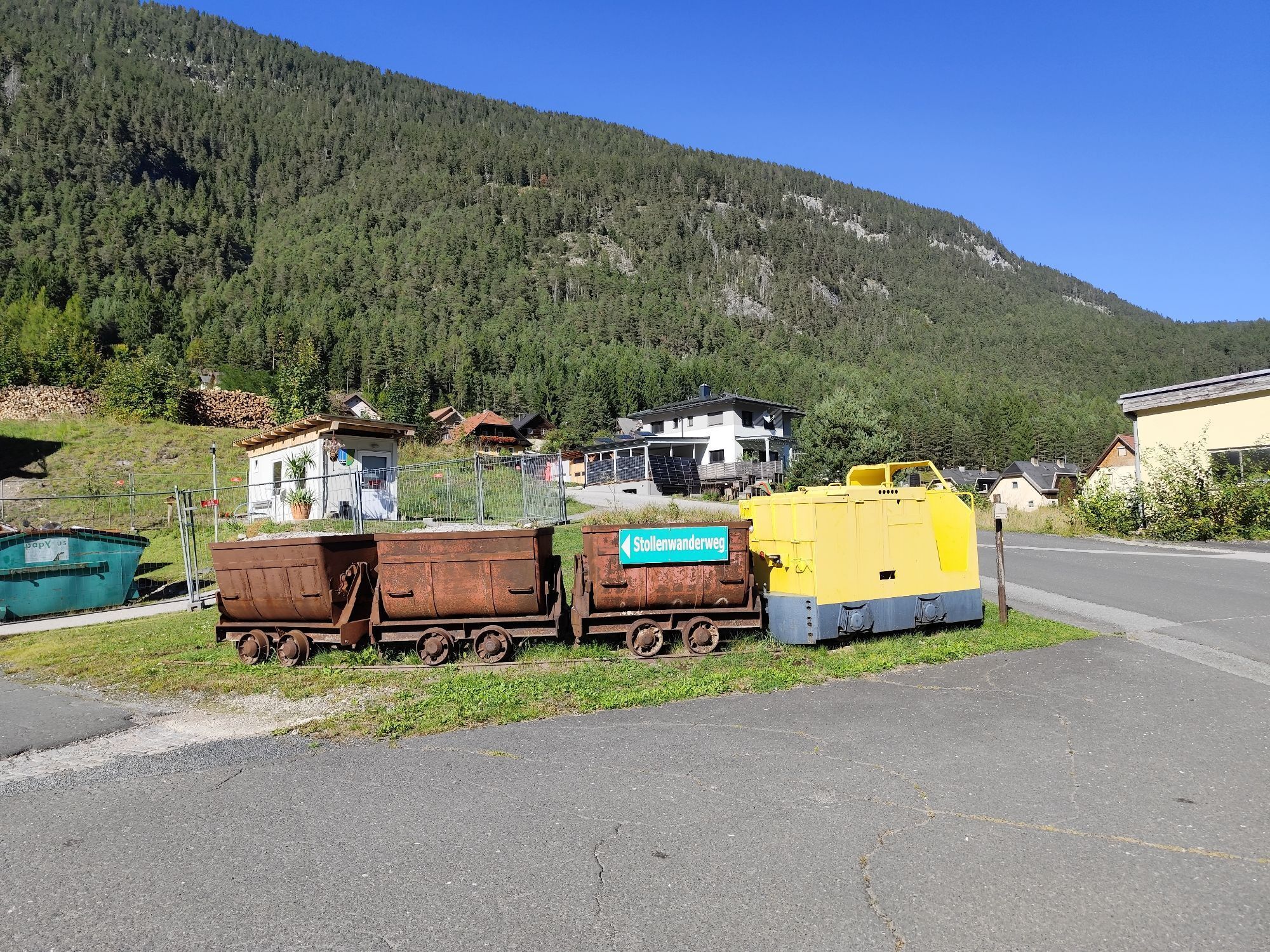
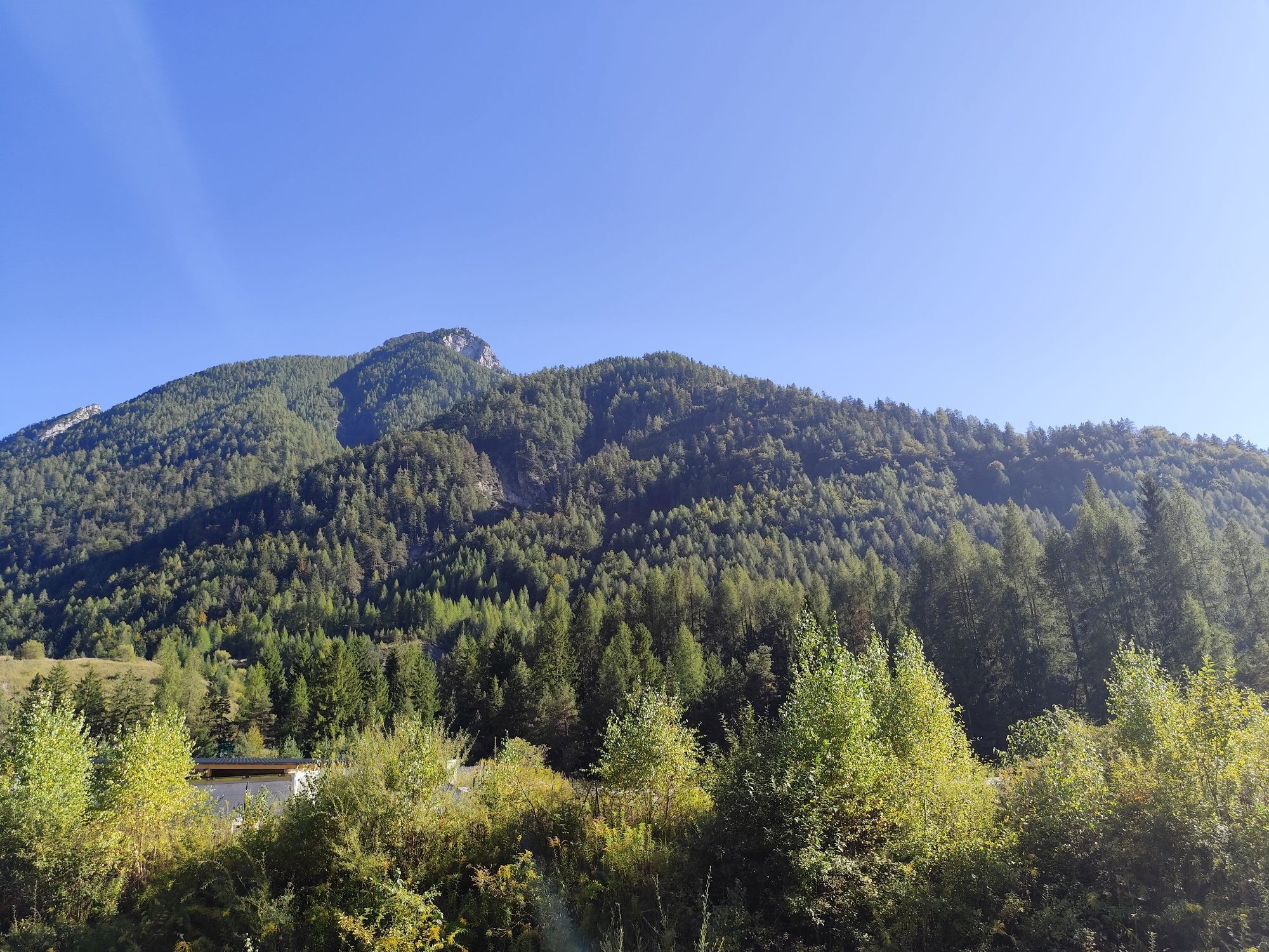
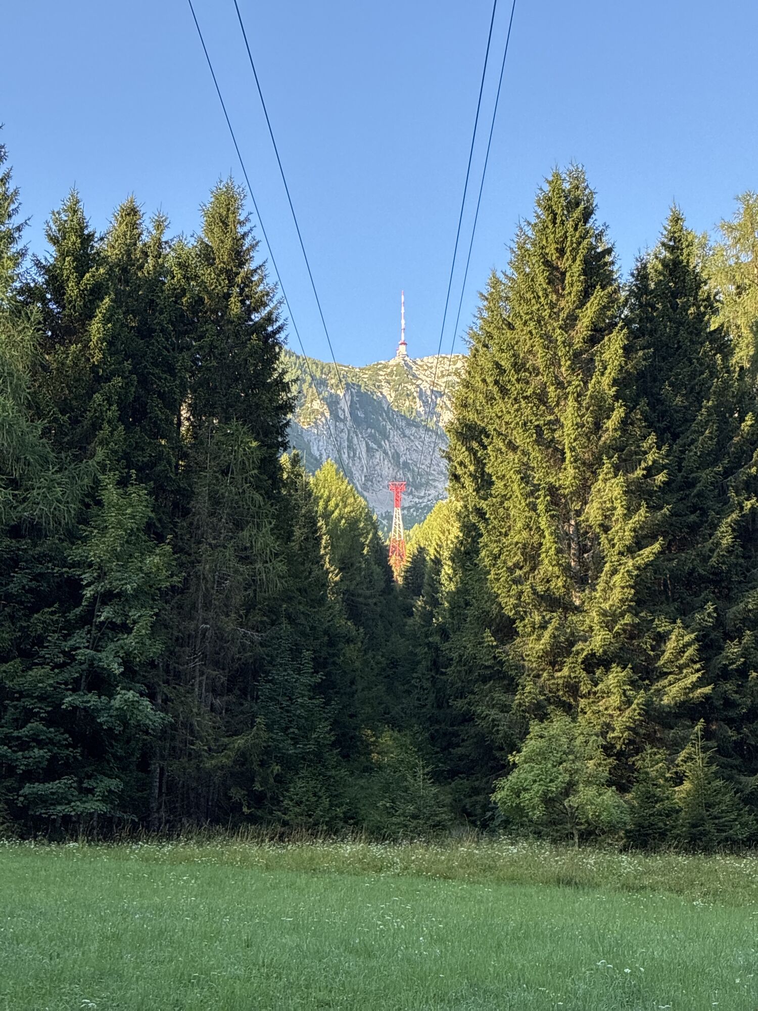
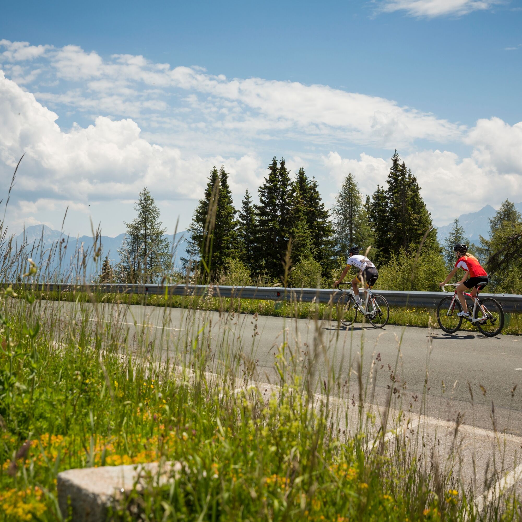
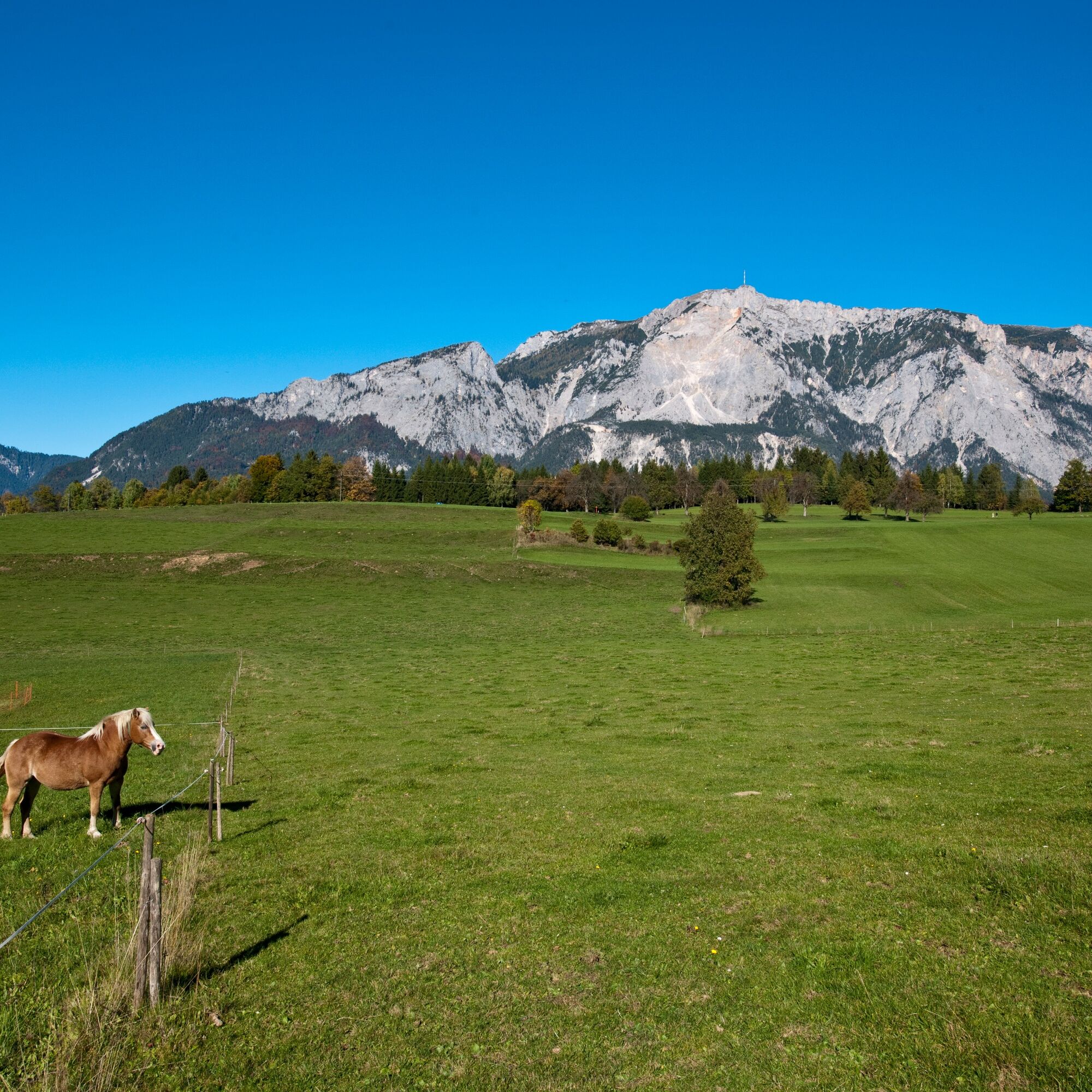
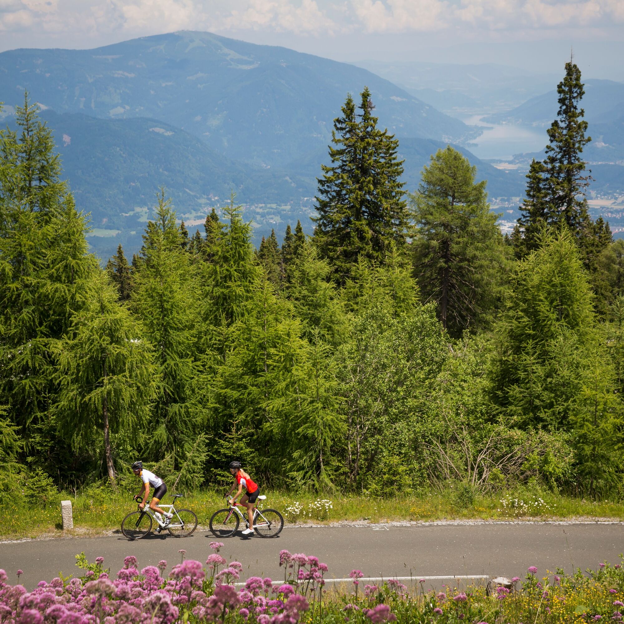

The start of this very scenic route around Villach's local mountain is in Villach-Lind. Via the districts of St. Martin, Neufellach, as well as Lower and Upper Fellach, it continues over Mittewald and Heiligengeist towards Bad Bleiberg. The old federal road leads into the high valley between the Dobratsch and the Bleiberg ore mountain. Through shady forest sections and along blooming meadows, we reach the old mining town of Bad Bleiberg. From here, it goes downhill to Nötsch and through the town to the Gail. We cross the bridge and immediately turn off again to Feistritz. In this village, with its beautiful old square and its mighty lime tree, you can take a break in the traditional Gasthof Post before tackling the short climb.
Via the villages of Achomitz, Dreulach, and Draschitz, the federal road leads over the idyllic high plateau. We arrive at Arnoldstein and cycle the last stage without further climbs quickly via Pöckau and Neuhaus, finally returning via Unterschütt to Müllnern and via Villach-Warmbad back to the starting point.
Bike helmet, wind protection, food, drink, and mobile phone.
The route is not officially signposted but can be easily navigated with appropriate map material.
The Bleiberg mining culture was included in the UNESCO Intangible Cultural Heritage list in 2010. Since the end of mining in 1992, largely private initiatives have been making efforts to preserve and pass on the associated cultural heritage, which includes the miners' language, the still existing old inclined mine tunnels, the Bleiberg miners' play, the Barbara mass, the leather jump, and other special features.
Kamery internetowe z trasy

Popularne wycieczki w okolicy
-
4,6
Auf den Dobratsch mit der ganzen Familie
Wędrówka 8,40 km -
4,7
Jeziora Fusine
światłoWędrówka 5,43 km -
4,9
Orrido dello Slizza, Tarvisio, Italië
światłoWędrówka 2,65 km -
4,6
Gailtaler Alpen: Wanderung auf der Dobratsch
średniWędrówka 8,50 km -
4,6
Weißenfelser Seen: Fusine in Valromana - Ai Sette Nani - Seealm
średniWędrówka 10,3 km -
4,5
Monte Lussari
średniWycieczka narciarska 10,7 km -
4,5
Monte Lussari über den alten Pilgerweg
średniWędrówka 6,43 km -
4,3
Zacchi Wanderung Rundweg
światłoWędrówka 8,85 km -
4,3
Monte Santo di Lussari, Skitour, Pilgerweg
średniWycieczka narciarska 9,35 km -
4,0
Dobratsch über den Jägersteig
Wędrówka 4,30 km

Wędrówki i tropienie


Nie przegap ofert i inspiracji na następne wakacje
Twój adres e-mail została dodana do listy mailingowej.





