







Cycling near lake Faaker See - Burgrunde
Poziom trudności: 3
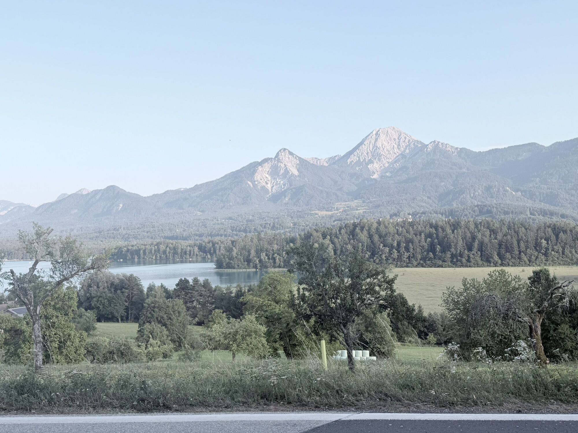
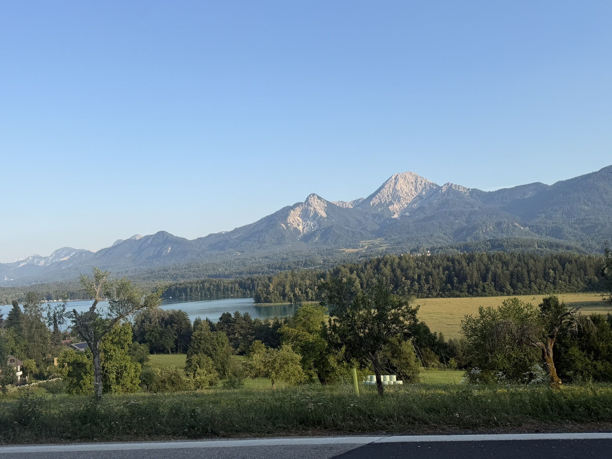
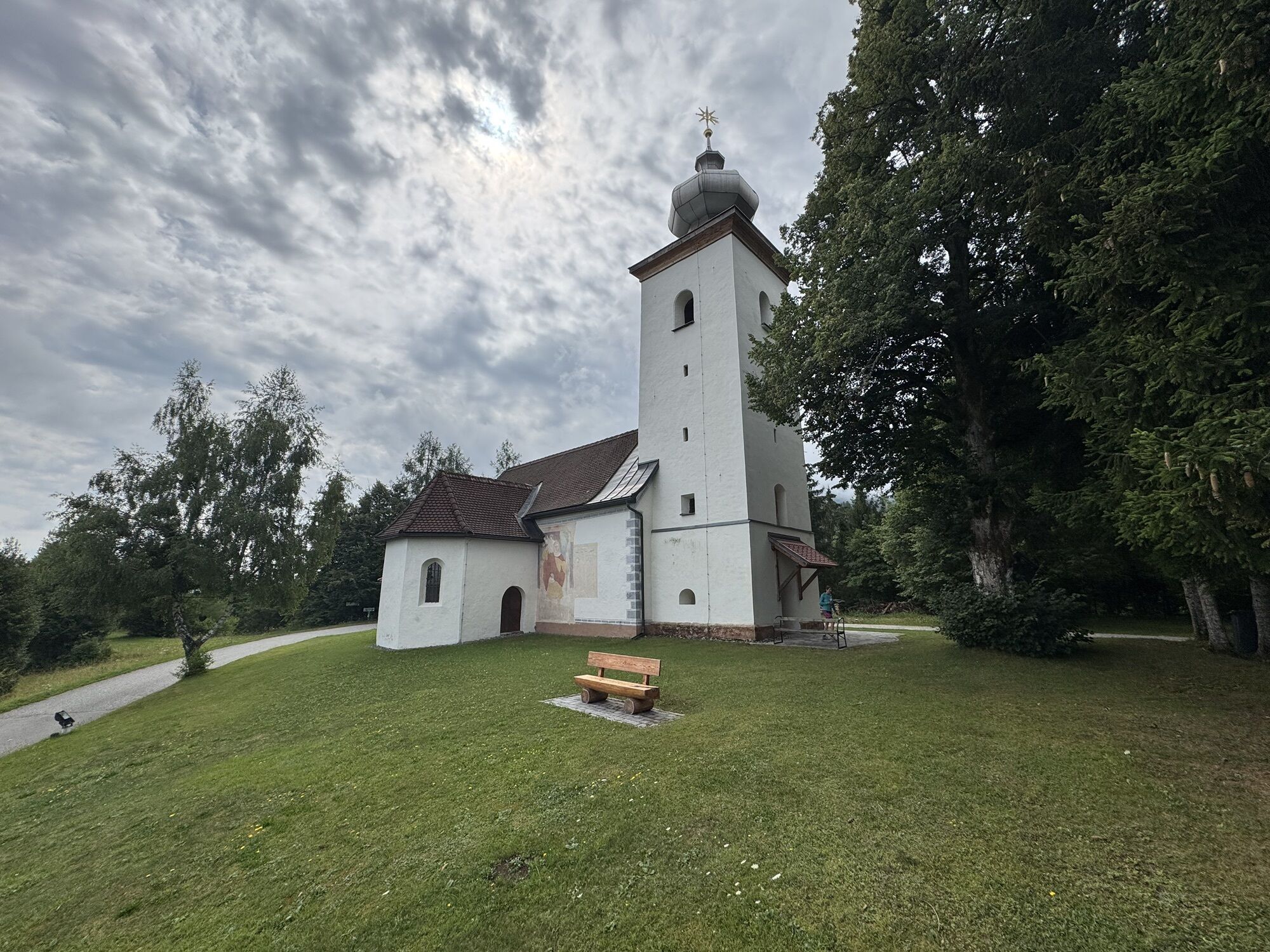
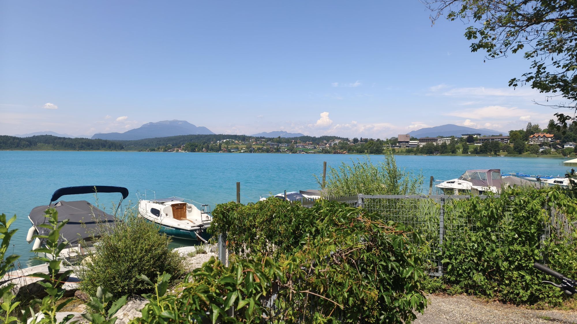
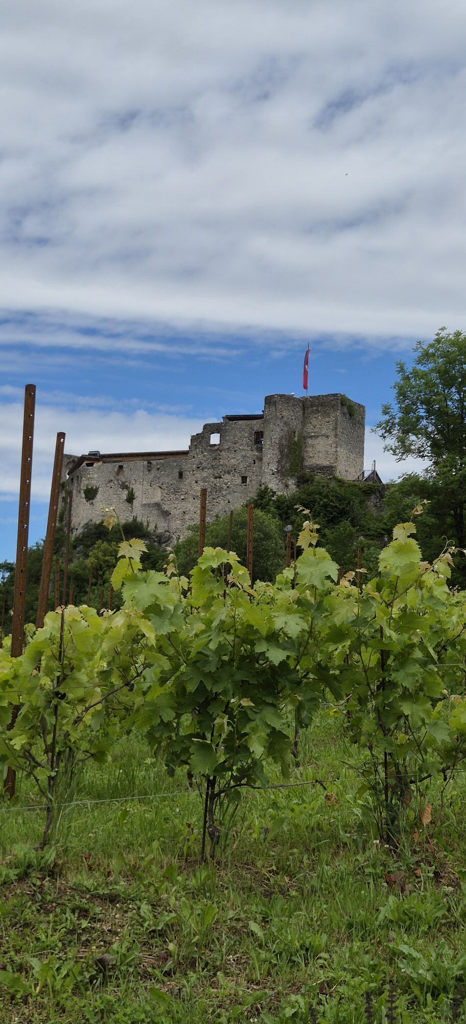
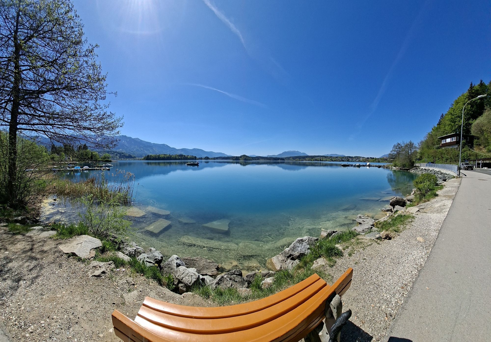
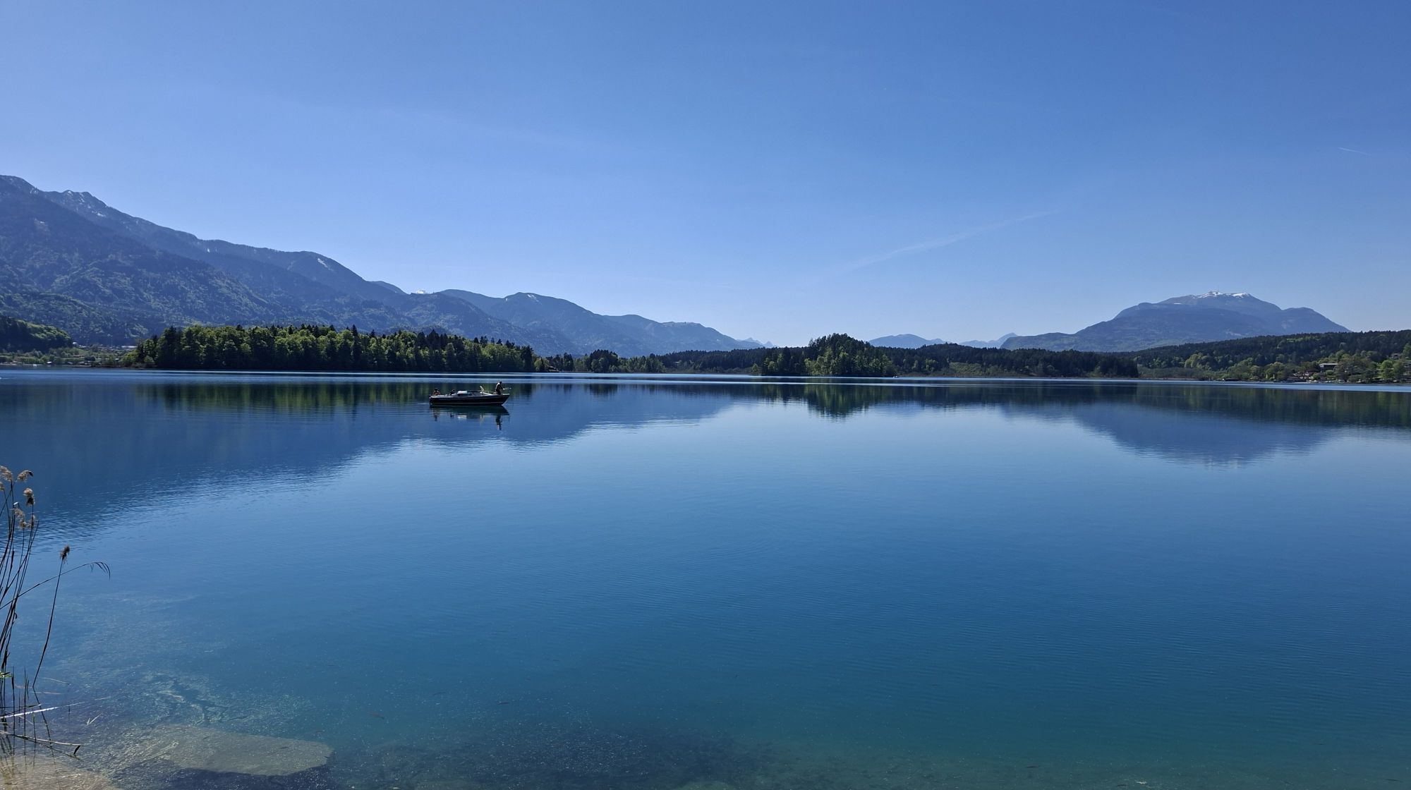
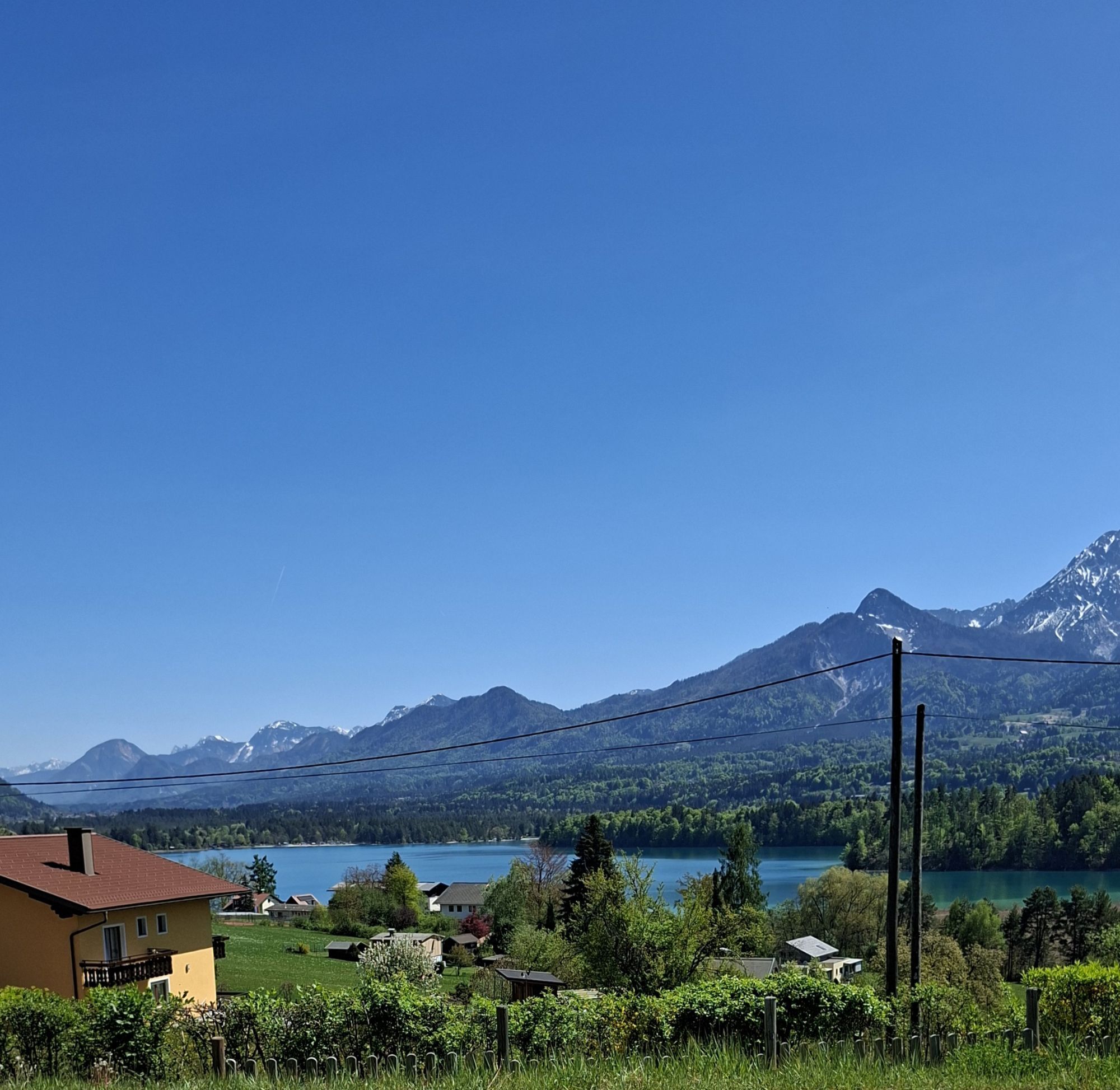
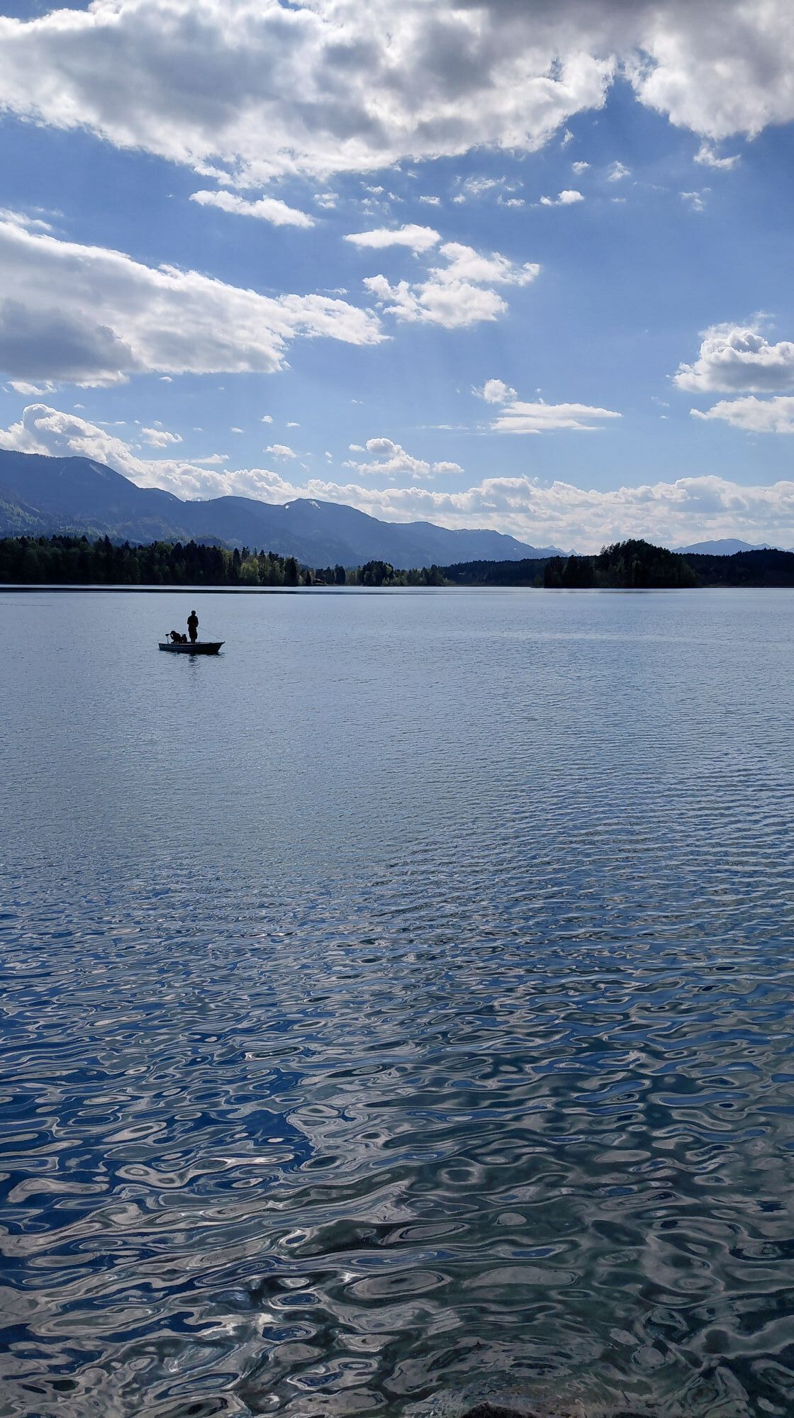
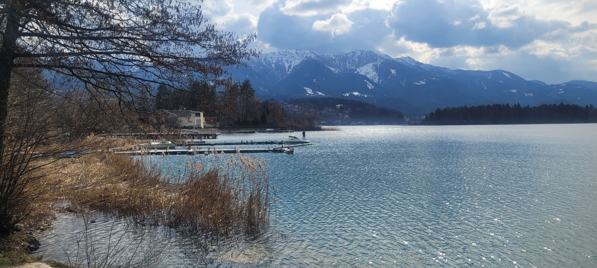
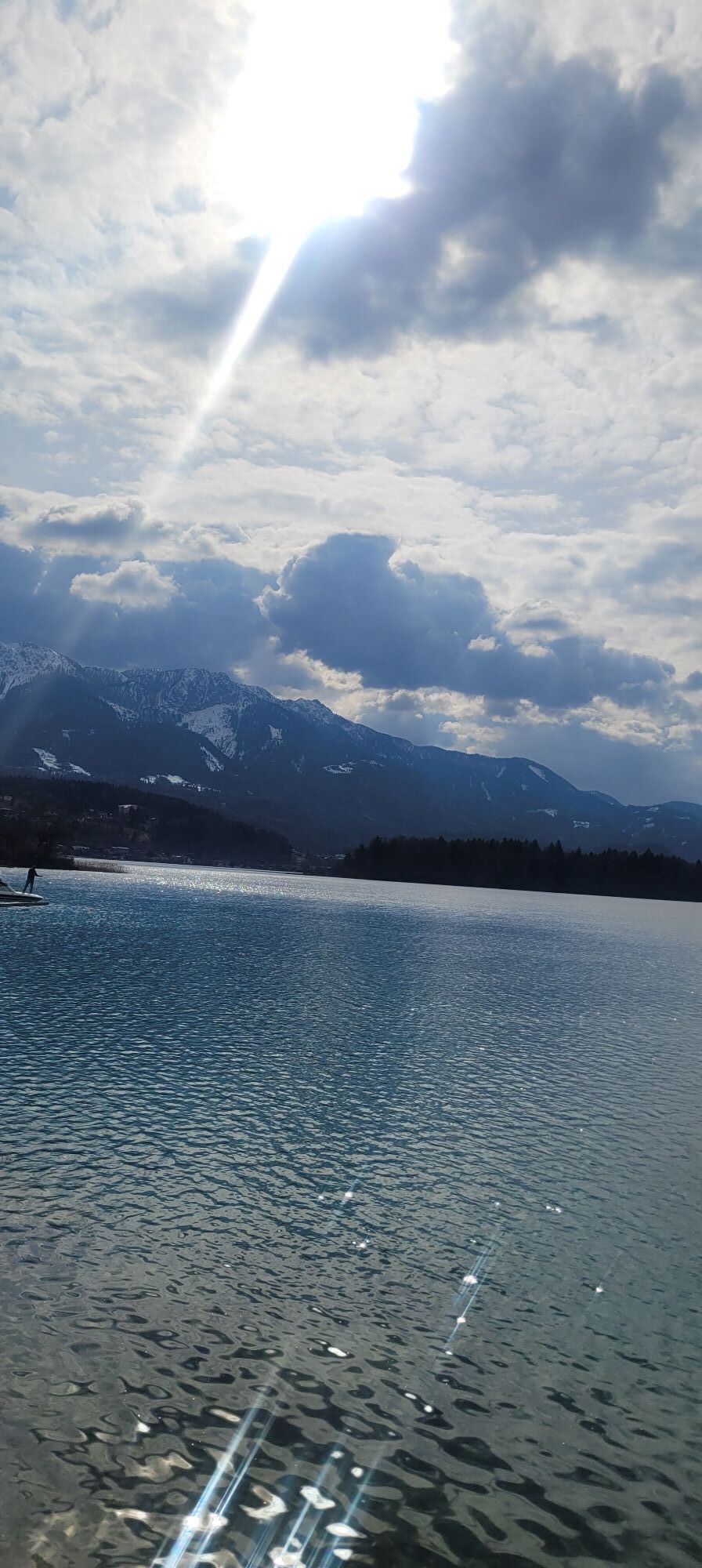
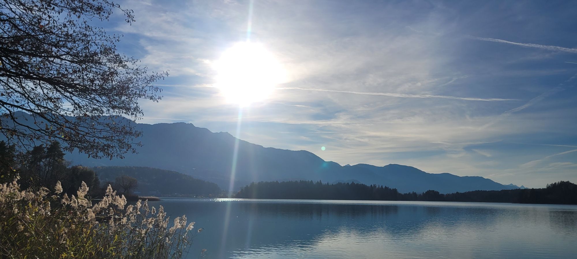
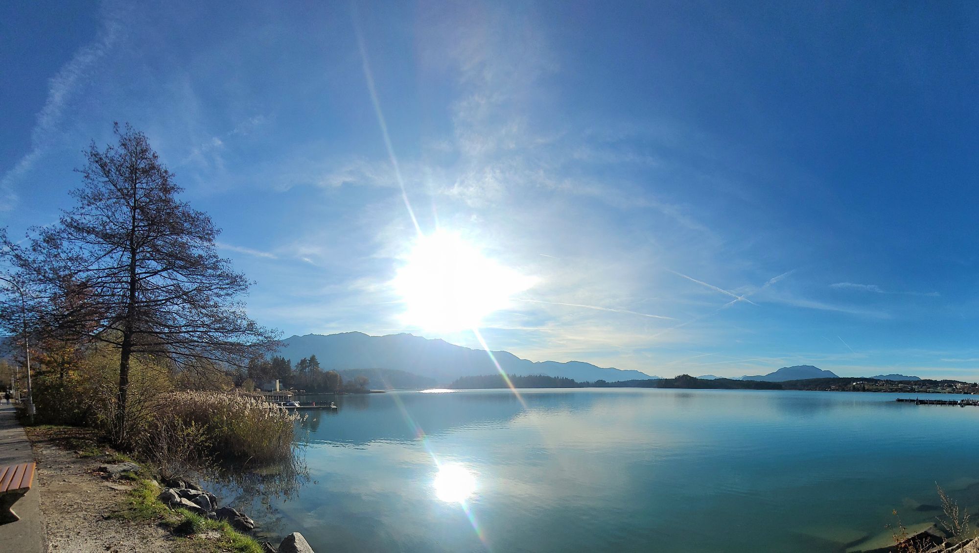
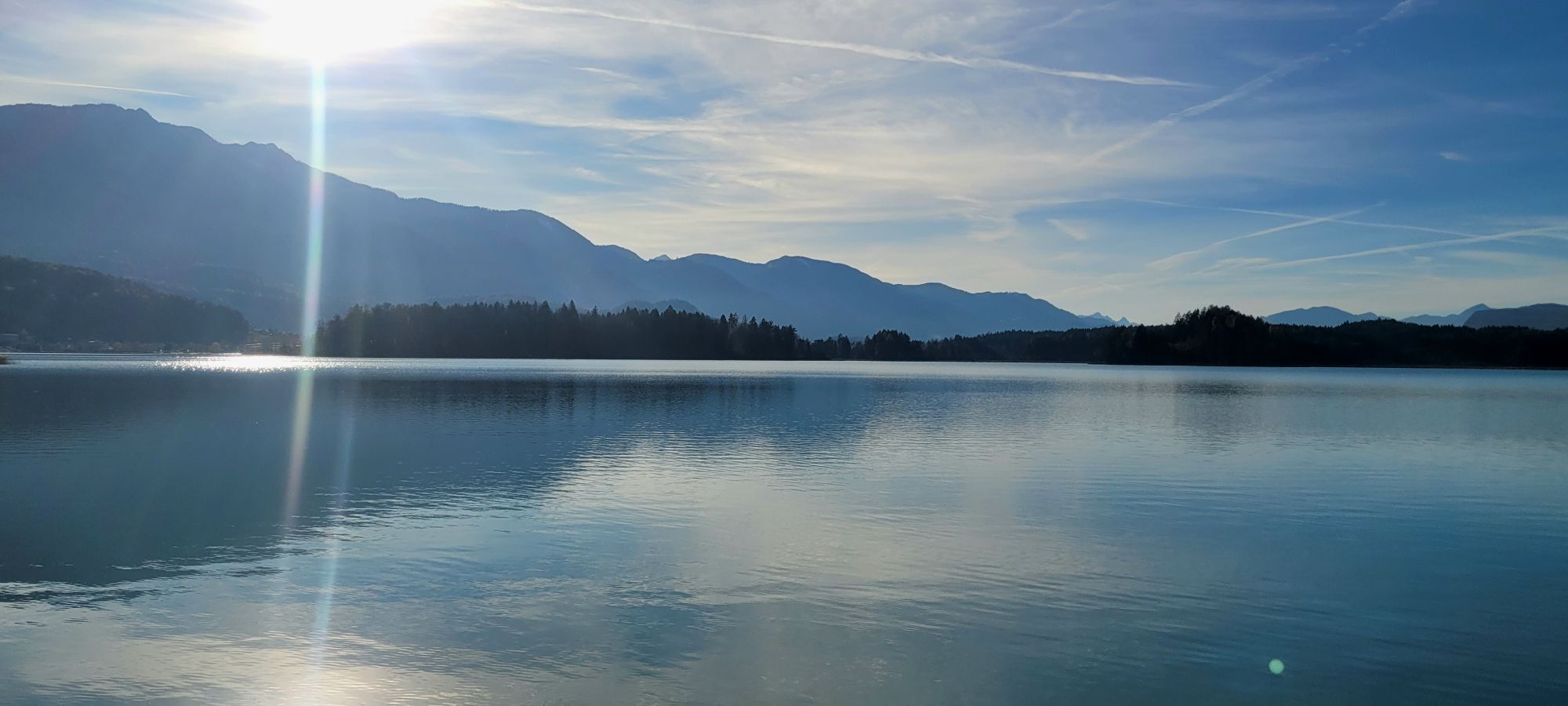
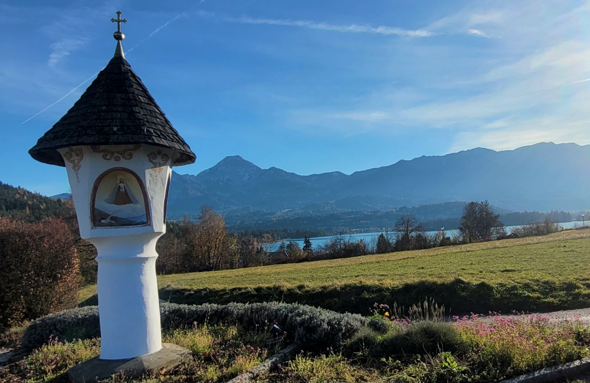
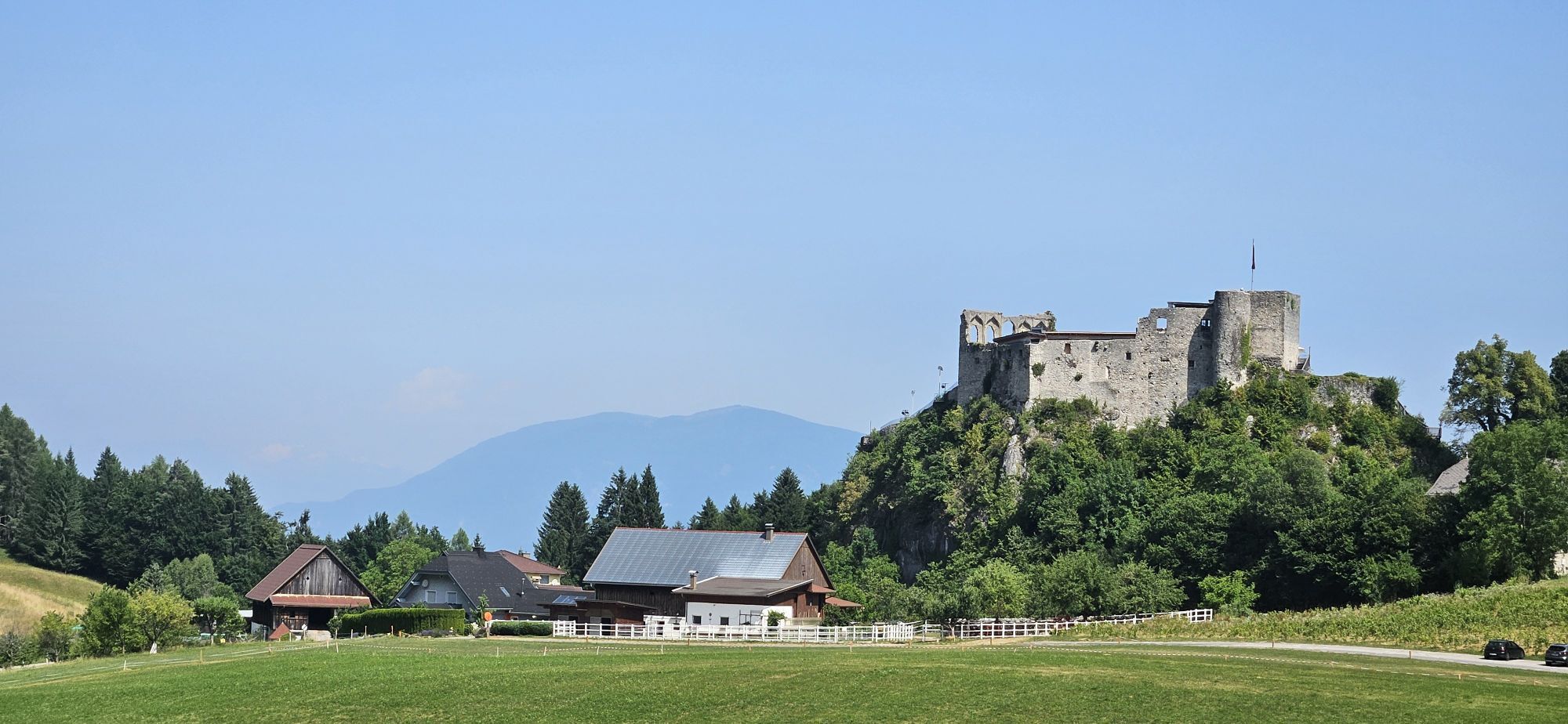
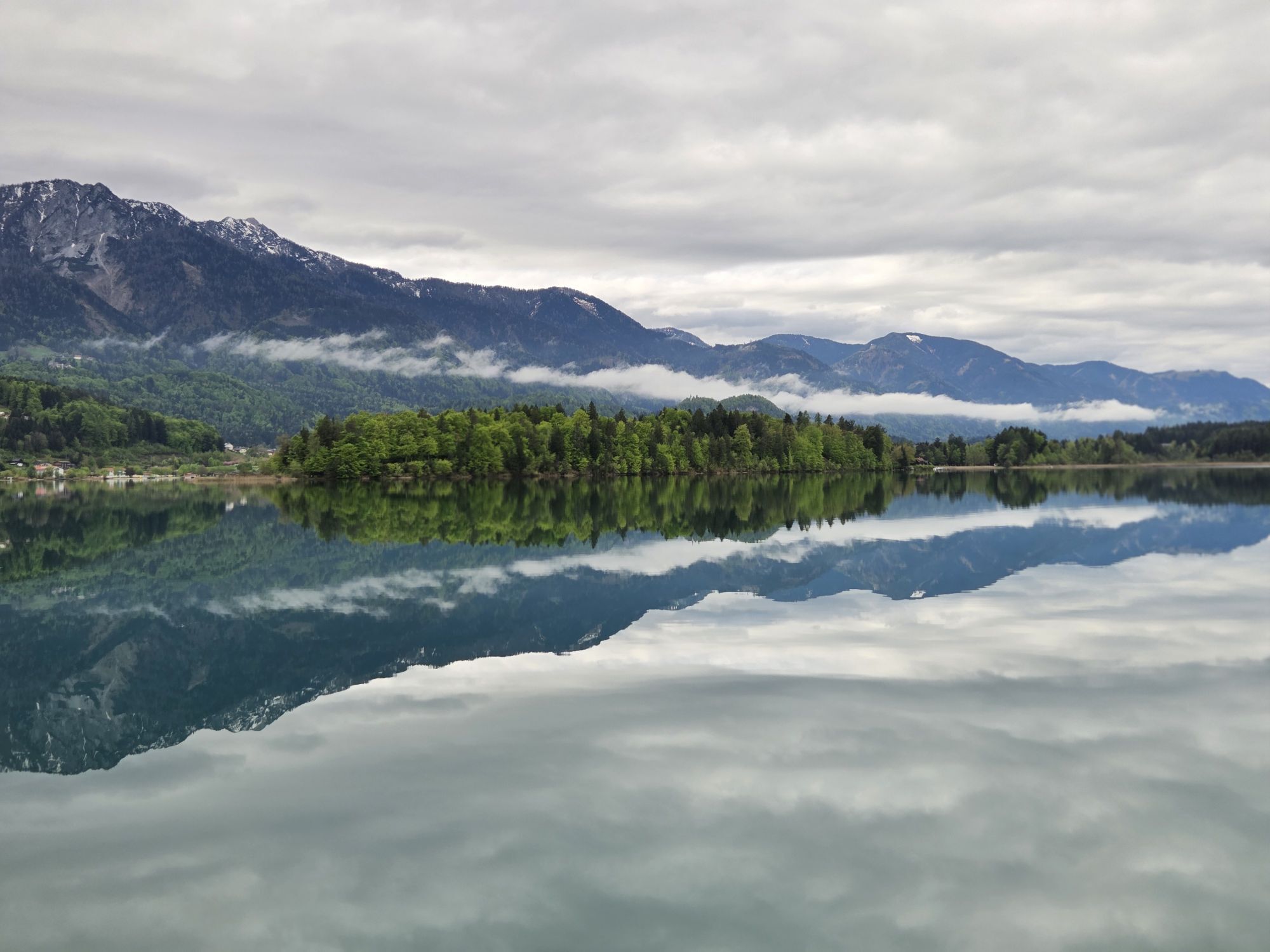
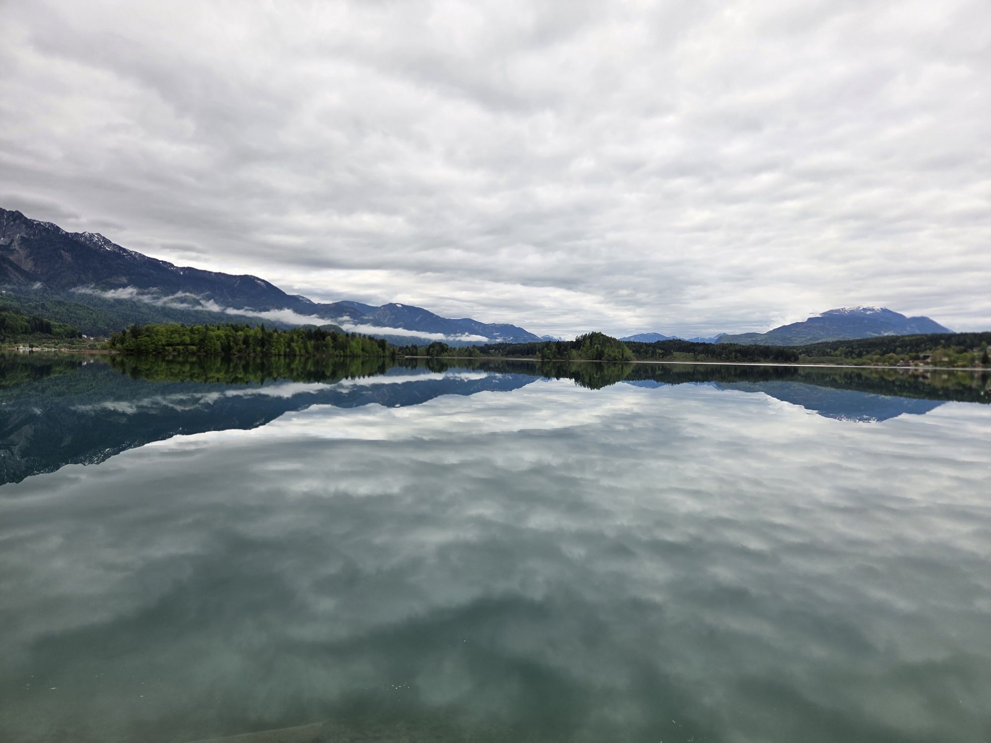
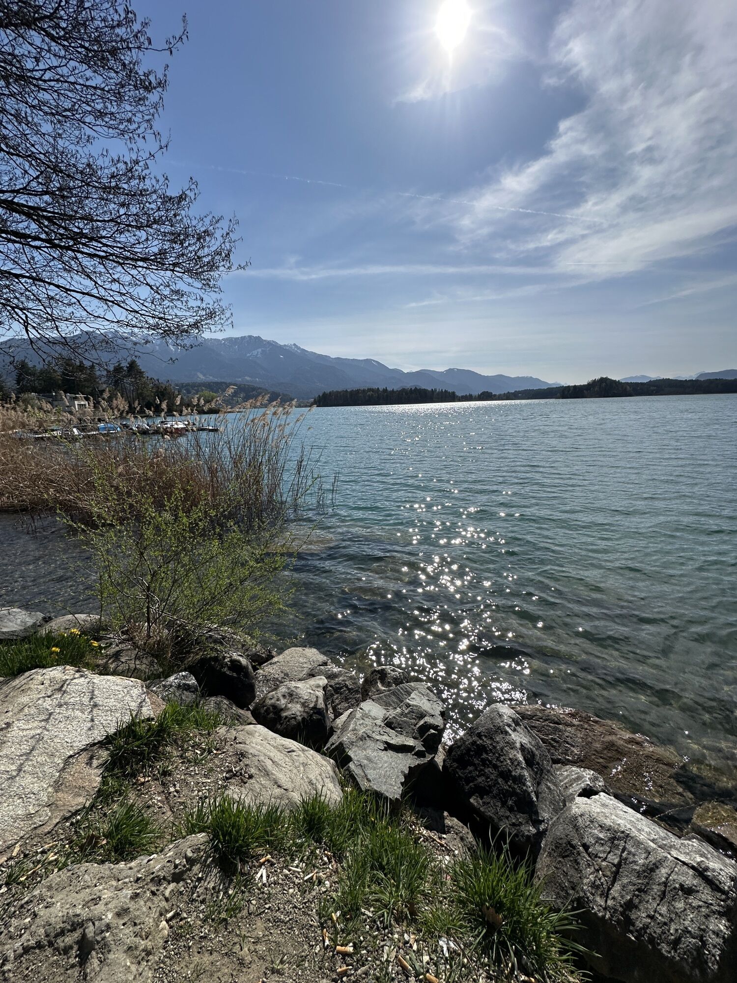
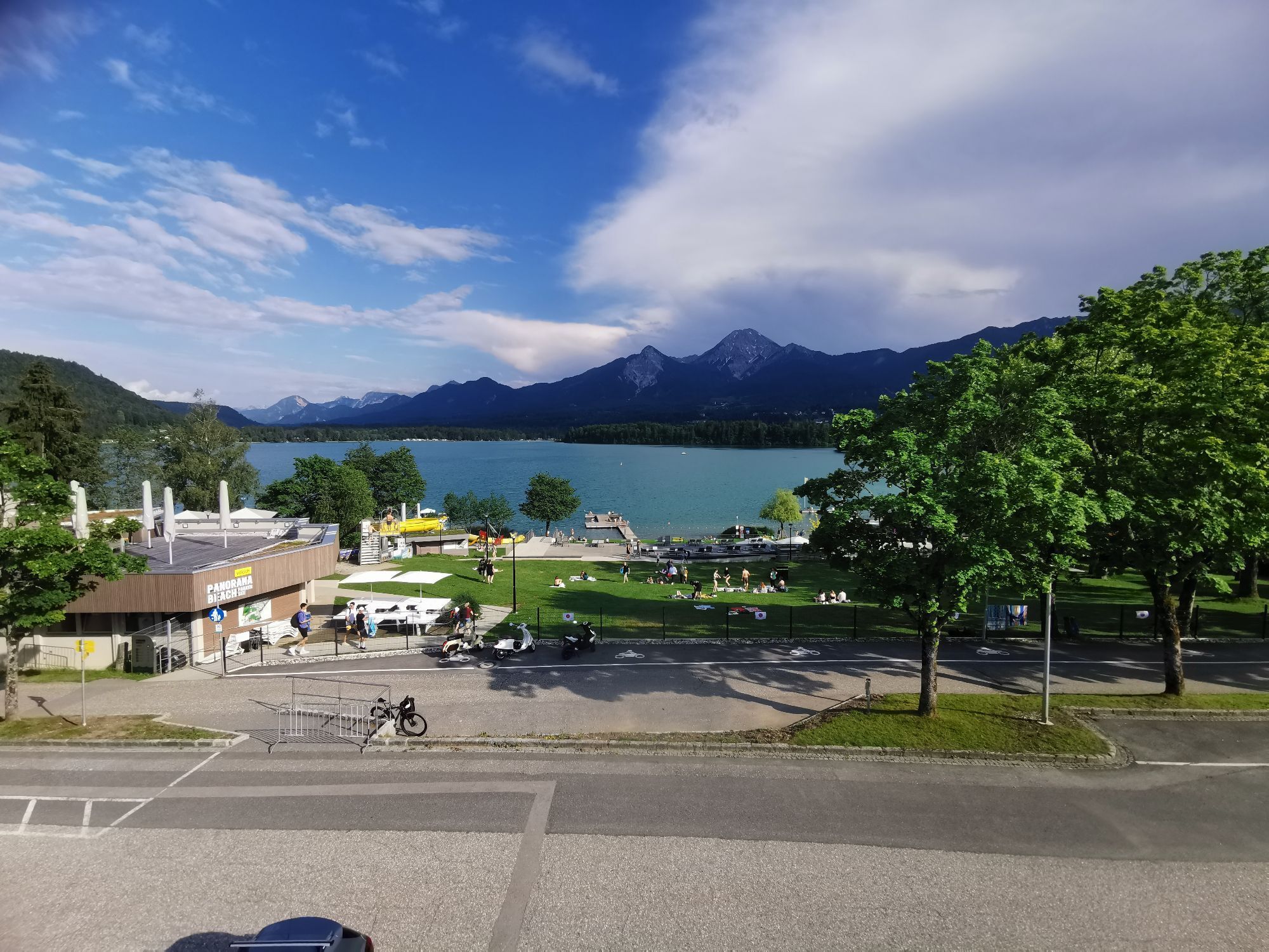
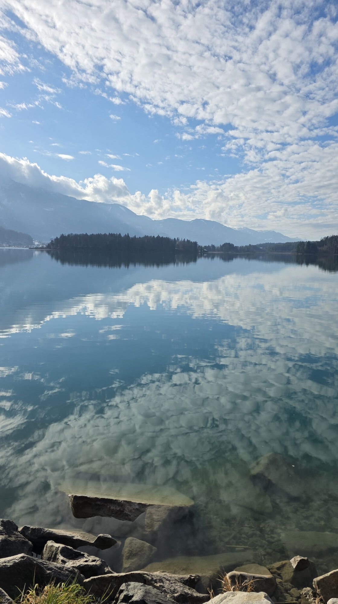
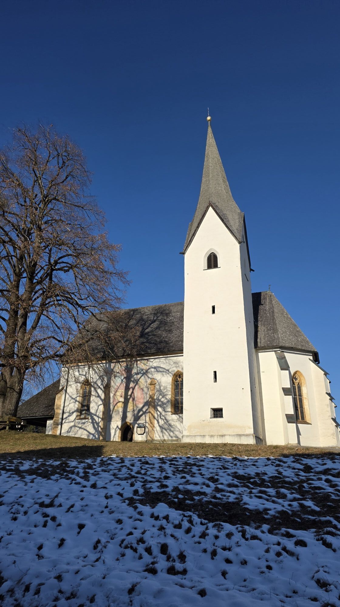
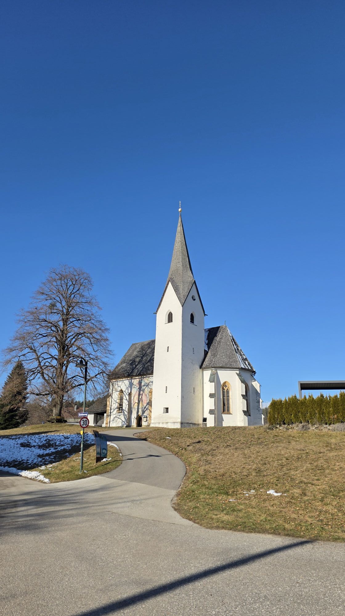
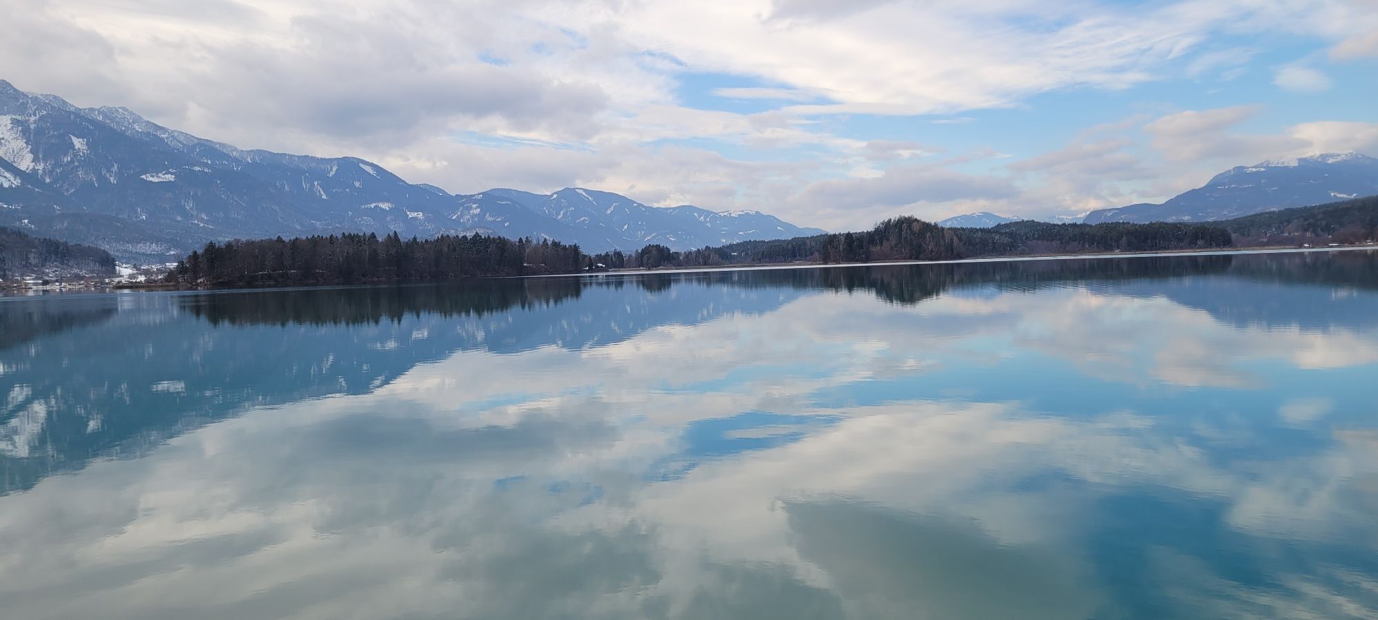
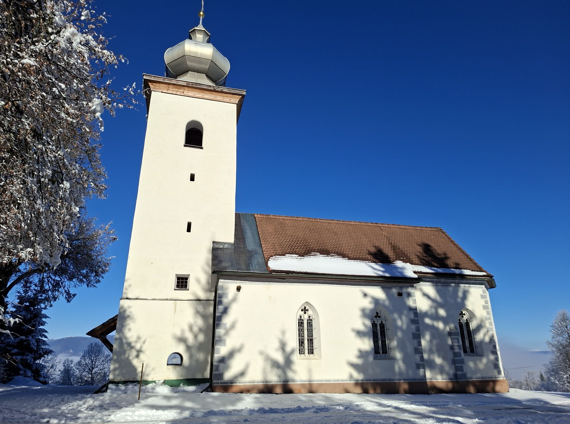
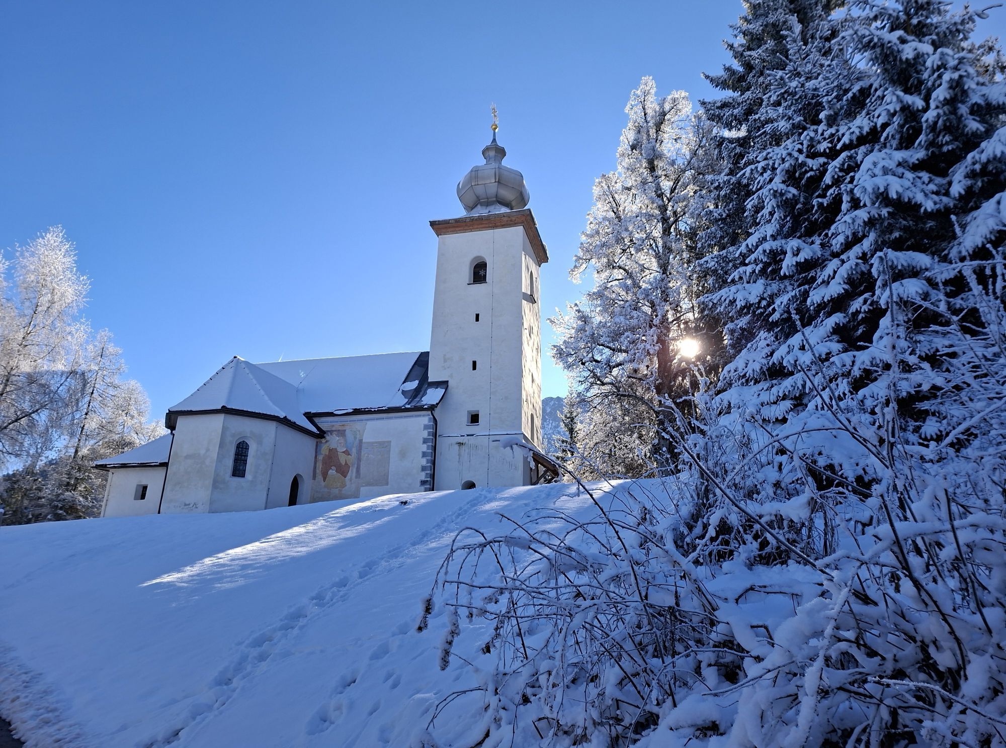
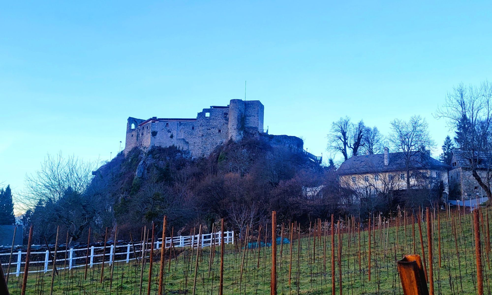
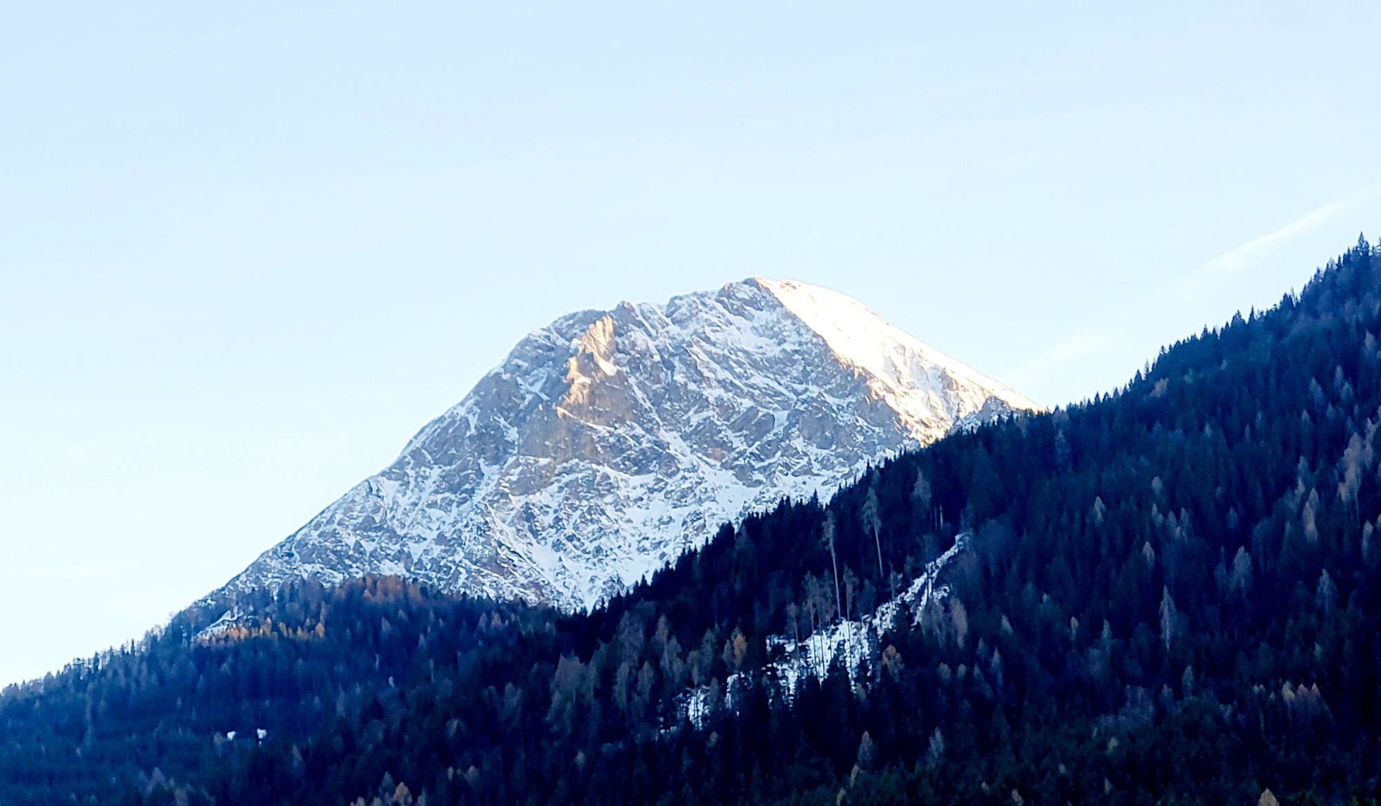

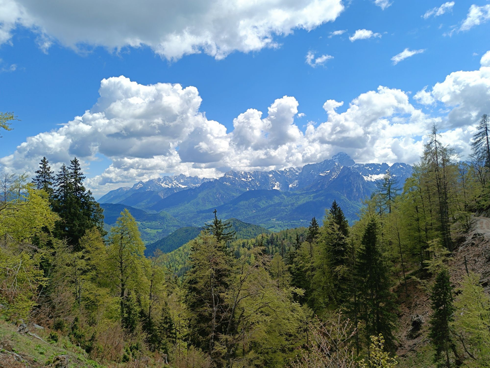
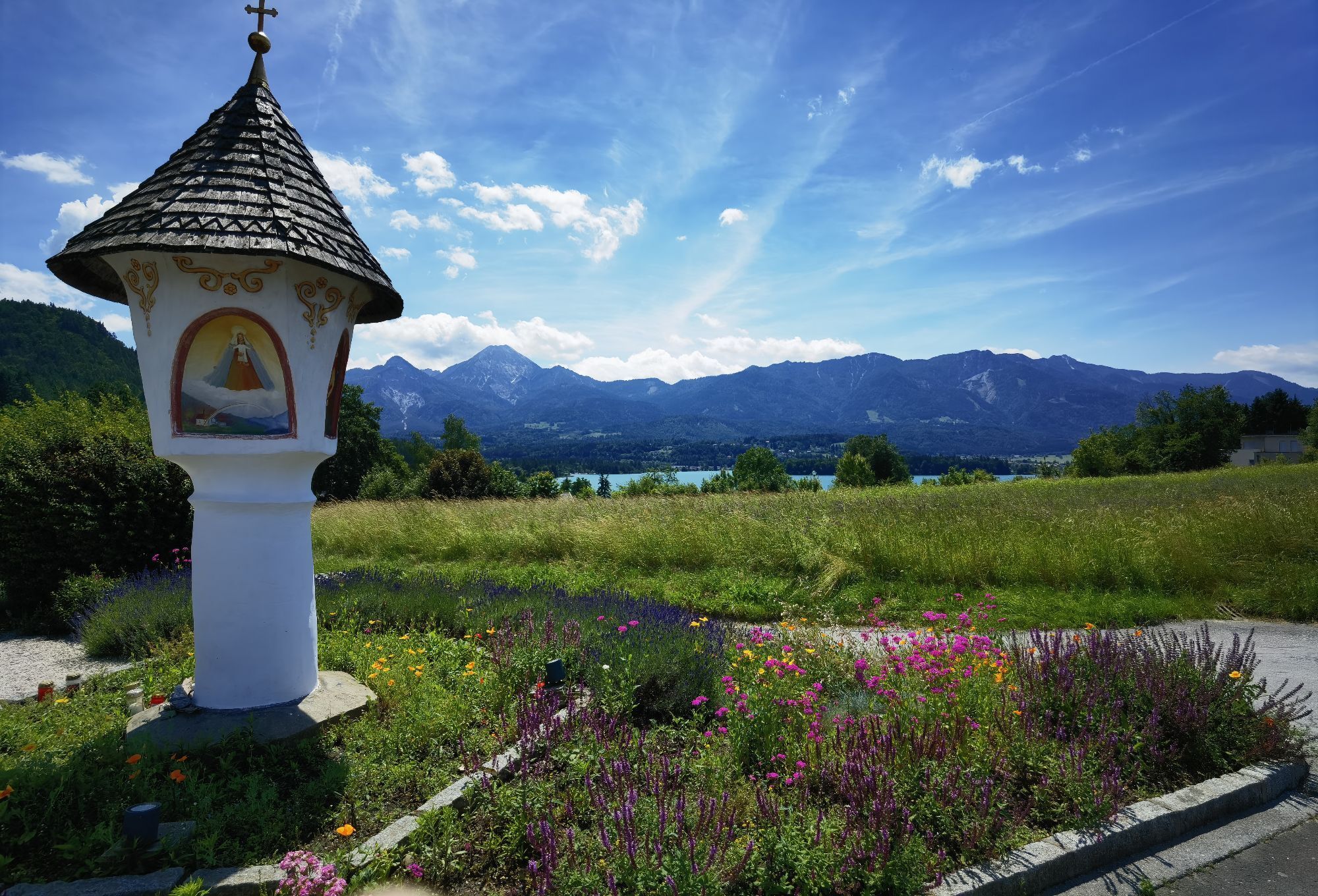
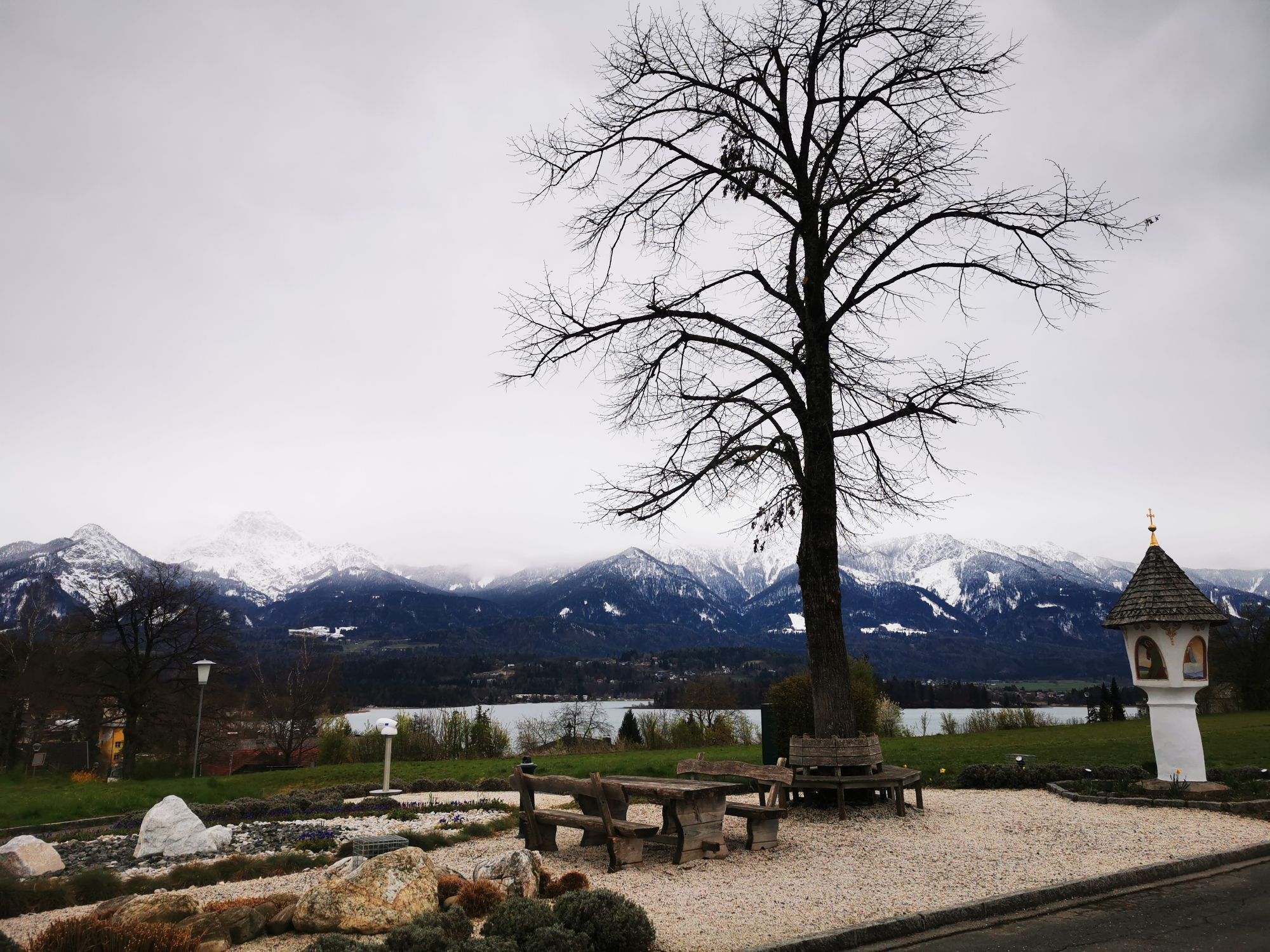
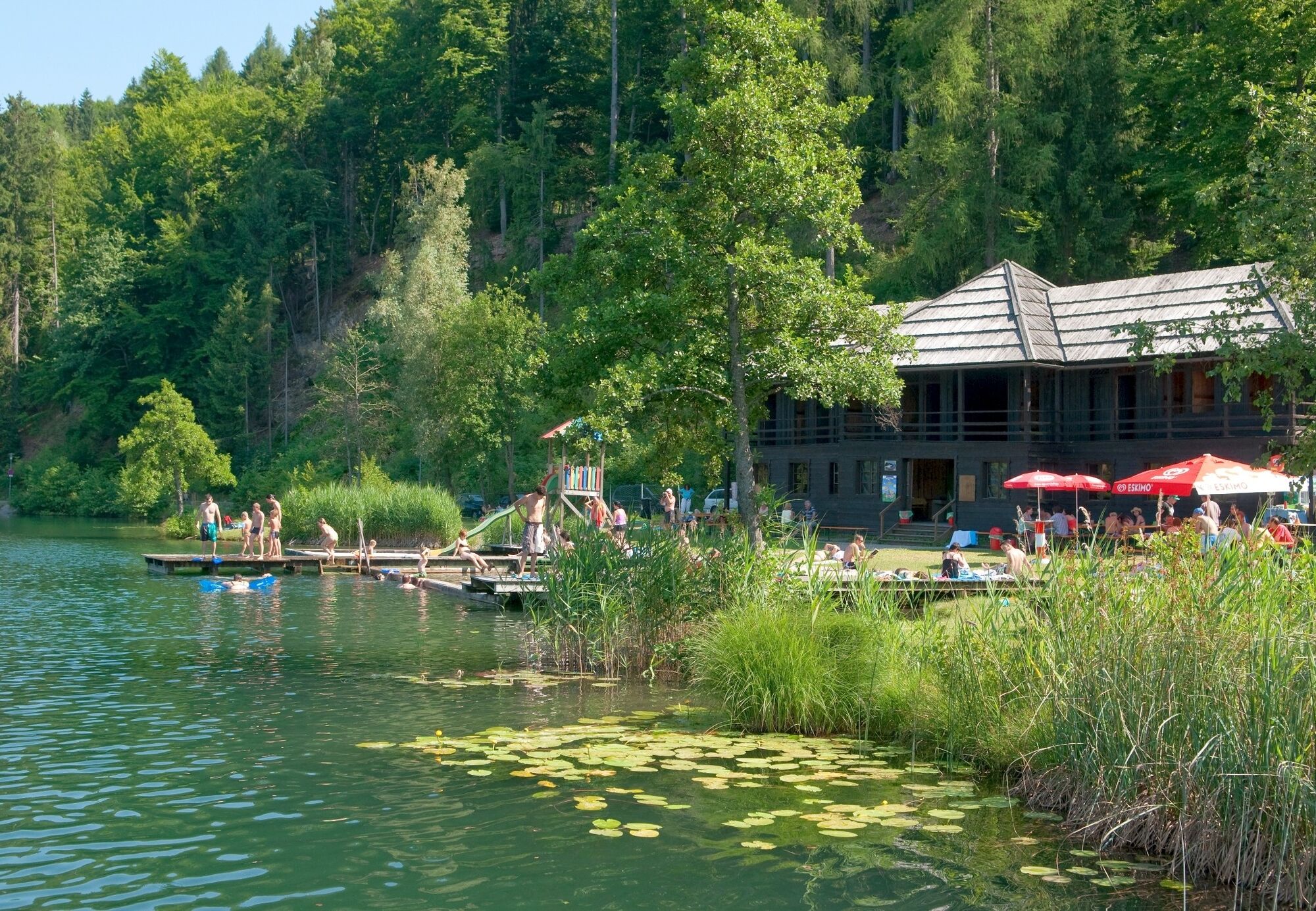
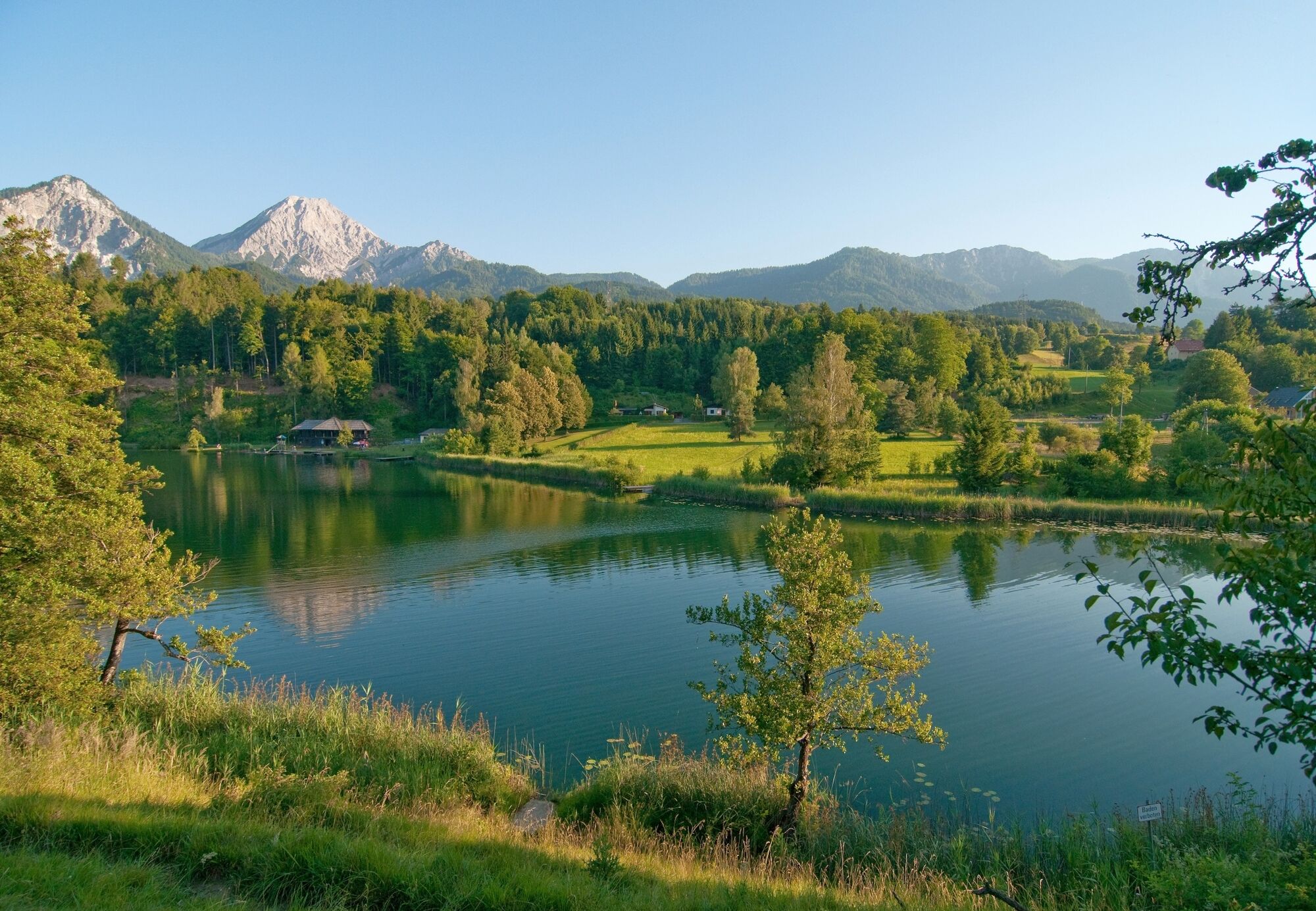
This short and signposted bike tour leads from lake Faaker See to lake Aichwaldsee and then to the beautiful castle arena Finkenstein . From there the trail follows quiet side streets until after Fürnitz...
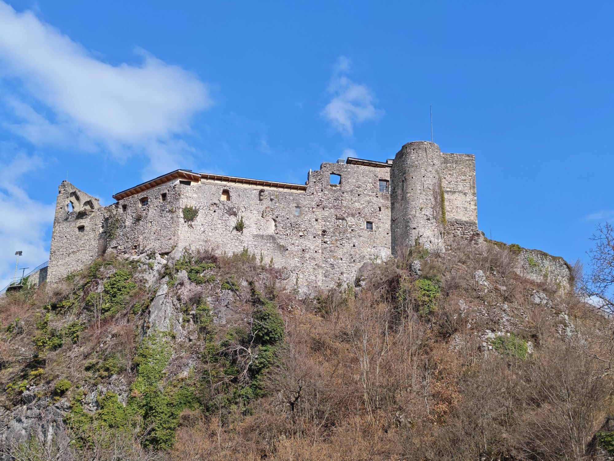
This short and signposted bike tour leads from lake Faaker See to lake Aichwaldsee and then to the beautiful castle arena Finkenstein . From there the trail follows quiet side streets until after Fürnitz and from there the way goes back to lake Faaker See .
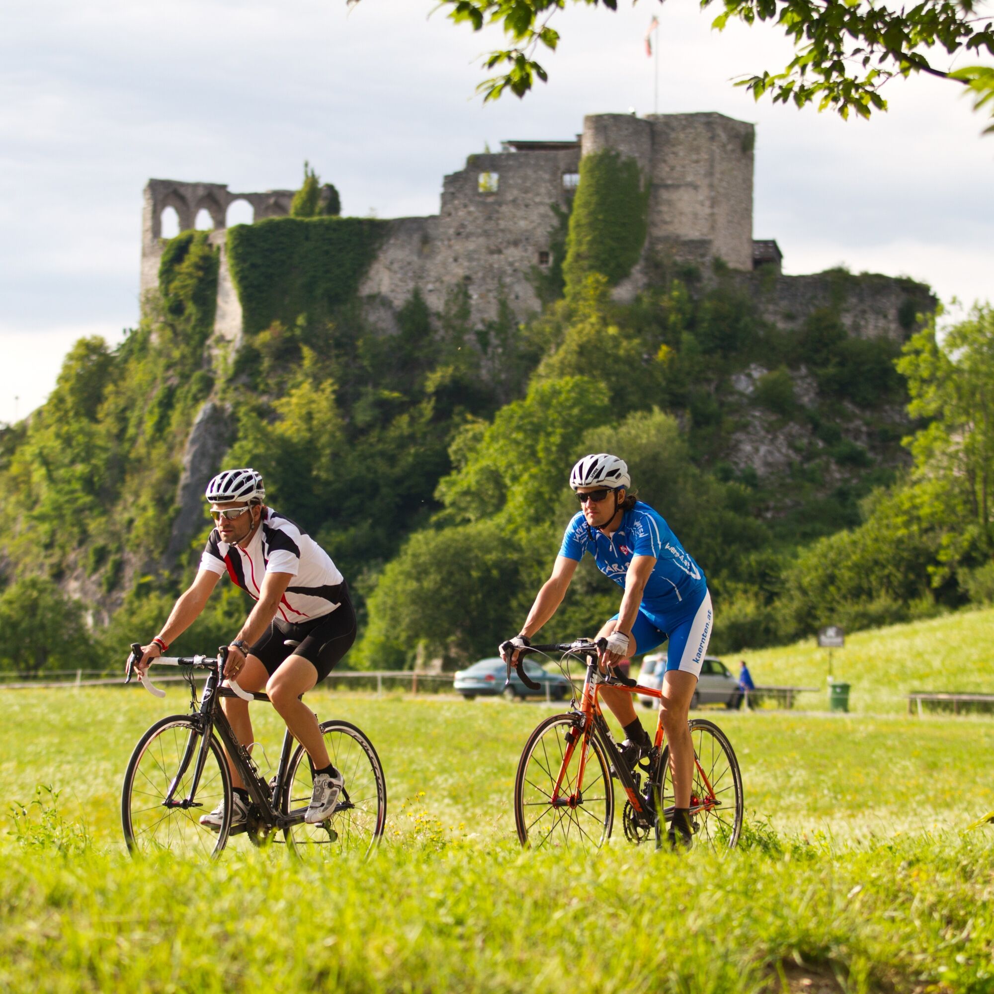
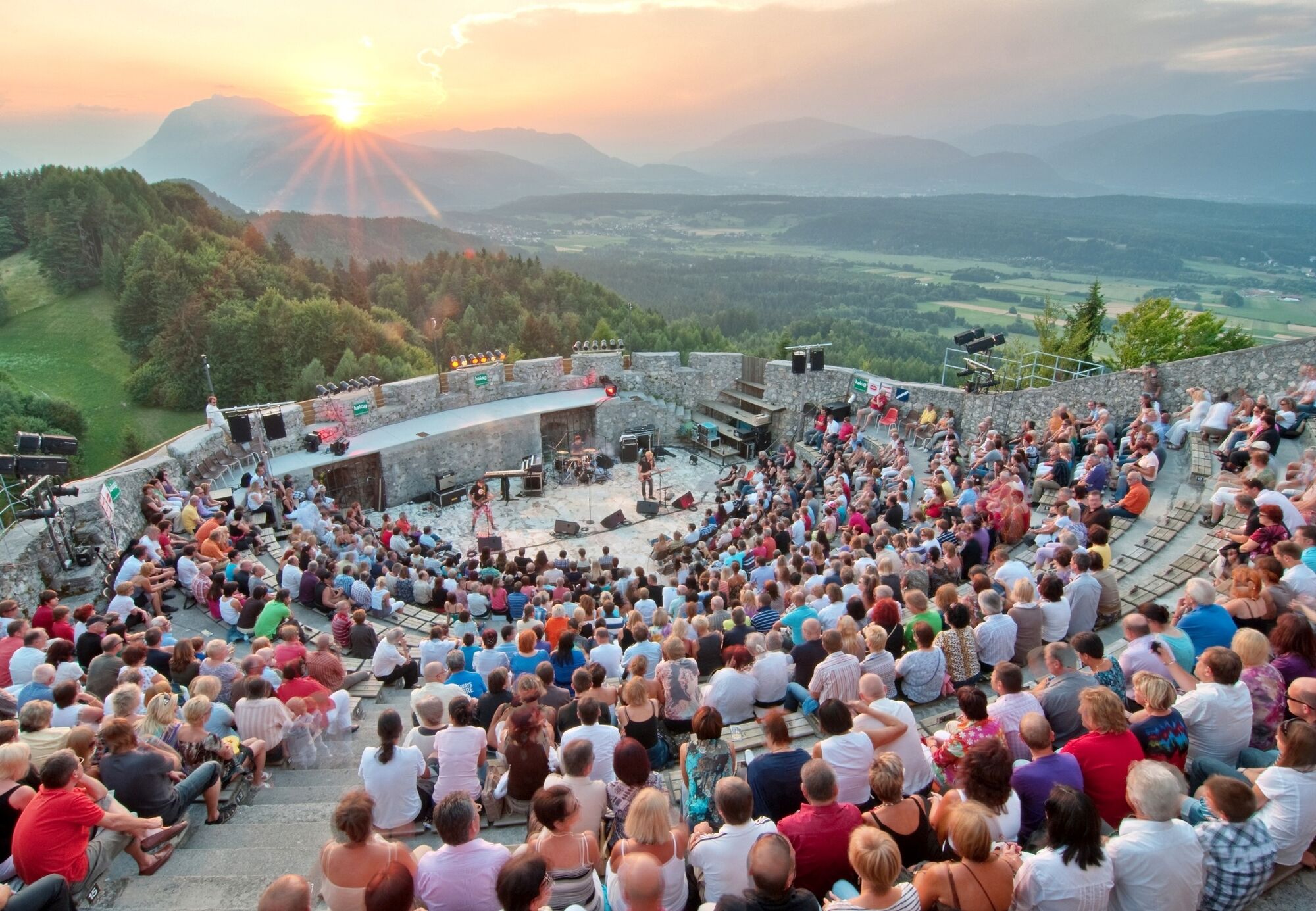

From the tourist information in Faak turn right and follow the Dietrichsteinerstraße to the public bath (Strandbad) Faak. Follow the road around the lake, passing the camping sites. Take the first road to the right to get to Ledenitzen, cross the railway line carefully and drive past the Hotel Mittagskogel towards lake Aichwaldsee. Drive past the lake and after entering Latschach, take the first to the left to the Martinihof. Follow the road to a small place called Outschena and then cycle westwards to castle Finkenstein. The next part of the trail leads downhill towards Finkenstein and past the climbing paradise Kanzianiberg. Turn left before you get to the main road in Finkenstein, left to Goritschach. The path leads above the golf course Finkenstein to the small villages of Techanting and then Susalitsch, St. Job, Korpitsch and Hart. From there you have to cycle downhill to Fürnitz to follow parallel to the railway line through Fürnitz back towards Gödersdorf and then Finkenstein. Follow the road to Latschach, turn left in the middle of the village and cycle back to the tourist information in Faak.
Racing cycle, tools and drinking water.
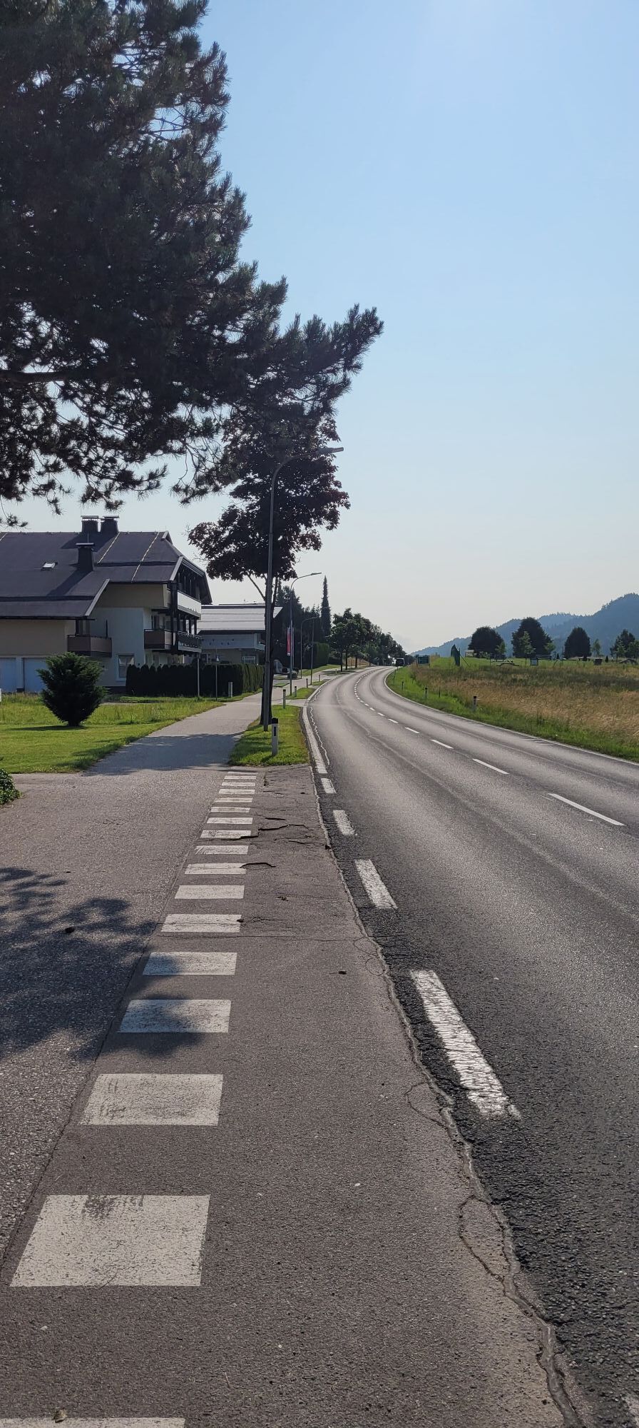
The roads are not always in perfect condition - watch out for those spots.
Take one of the following A2 motorway exits: Villach-Faaker See or Villach Warmbad.
Faak can be reached by bus or by train.
There is enough parking space available opposite the tourist information.
3
+43 4242 42000
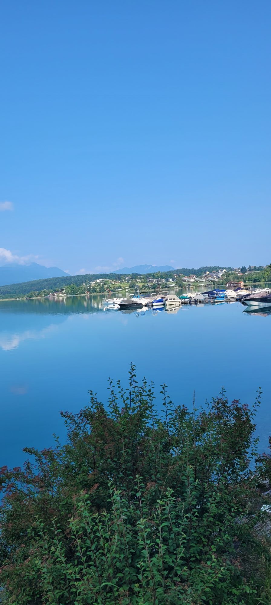
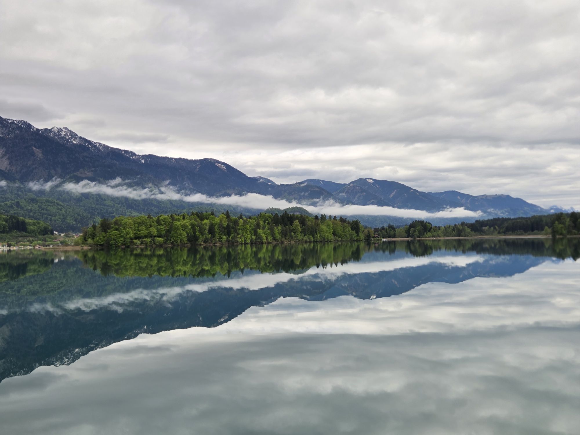
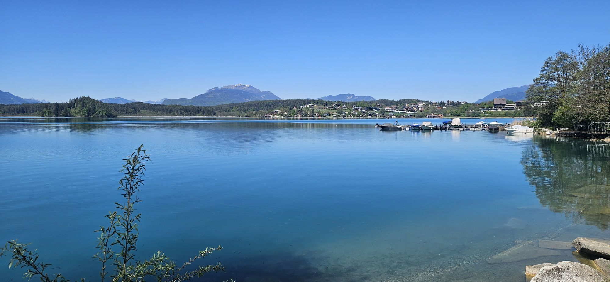
Stop at lake Aichwaldsee and enjoy a short break and the beautiful scenery.
 Uzyskaj wgląd Zawsze na żywo z ponad 9 500 kamer internetowych. bergfex Jako użytkownik Pro, możesz teraz zobaczyć odpowiednie kamery internetowe dla wielu wycieczek w aplikacji wycieczki od. Pozwala to na bezpośredni podgląd aktualnych warunków.
 Popularne wycieczki w okolicy
- 4,5
Auf den Dobratsch mit der ganzen Familie
Wędrówka 8,40 km - 4,4
Mittagskogel - Rundwanderung
ciężkiWędrówka 14,5 km - 4,4
Lake circular trail
światłoNordic Walking 9,85 km - 4,4
Finsterbach Waterfalls - Circular route
średniWędrówka 3,87 km - 4,7
Rotschitza Klamm Klettersteig B/C
średniVia ferrata 3,73 km - 4,6
Baumgtn. Höhe, Mallestiger Mittags- und Schwarzkogel
ciężkiWędrówka zimą 10,7 km - 4,4
Krnica Hut
średniWędrówka 14,9 km - 4,9
Gratschenitzen Kreuz
ciężkiWycieczka wysokogórska 3 km - 4,4
Mallestiger Mittagskogel
średniWędrówka 8,17 km - 4,8
Schwarzkogel-Runde über Jepzasattel Schwarzkogel, Mallestiger Mittagskogel
średniWędrówka 13,4 km
Wędrówki i tropienie


Nie przegap ofert i inspiracji na następne wakacje
Twój adres e-mail została dodana do listy mailingowej.





