Nawigacja
Pobierz tę trasę na swój telefon komórkowy
Mapa
Malta High Alpine Road

ciężki
Droga rowerowa
85,00 km
Zeskanuj kod QR i rozpocznij nawigację w aplikacji bergfex.
QR Code
Wędrówki i tropienie
Pobierz dla iOS
Pobierz dla systemu Android

Malta High Alpine Road

ciężki
Droga rowerowa 1,0
Odległość
85 km
Czas trwania
07:14 h
Ascent
1 877 hm
Poziom morza
591 - 1 903 m

Poziom trudności: 6
Ścieżka do pobrania
Mapa
Malta High Alpine Road
ciężki
Droga rowerowa
85,00 km

From the starting point Seeboden, there is a short climb up to Treffling where you follow the signs towards Perau or Gmünd. This very sparsely trafficked road through the "Platzgraben" is a secret tip...

Opis
From the starting point Seeboden, there is a short climb up to Treffling where you follow the signs towards Perau or Gmünd. This very sparsely trafficked road through the "Platzgraben" is a secret tip among road cyclists and leads above the Lieser for about 10 km almost completely traffic-free to Gmünd.

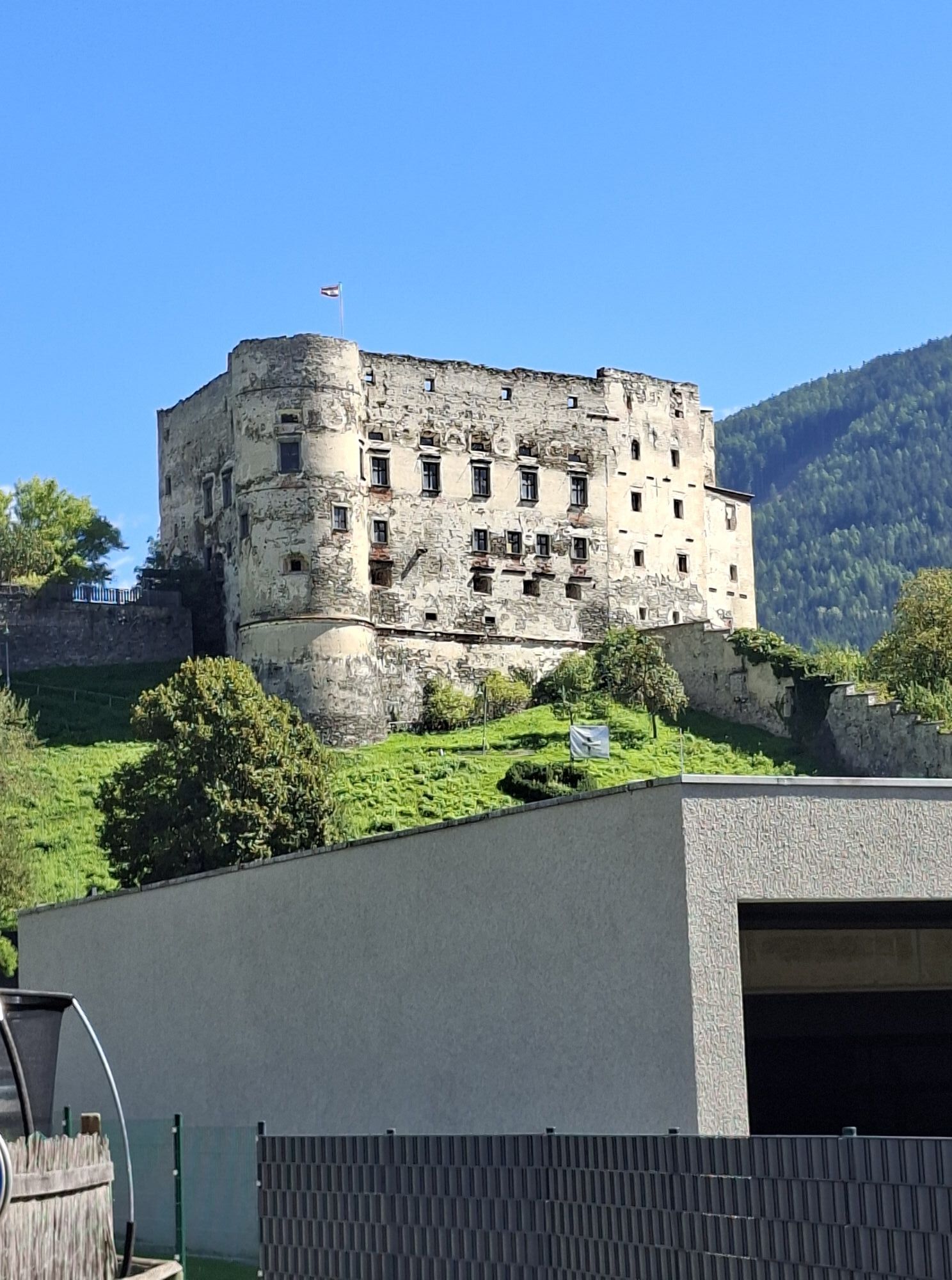
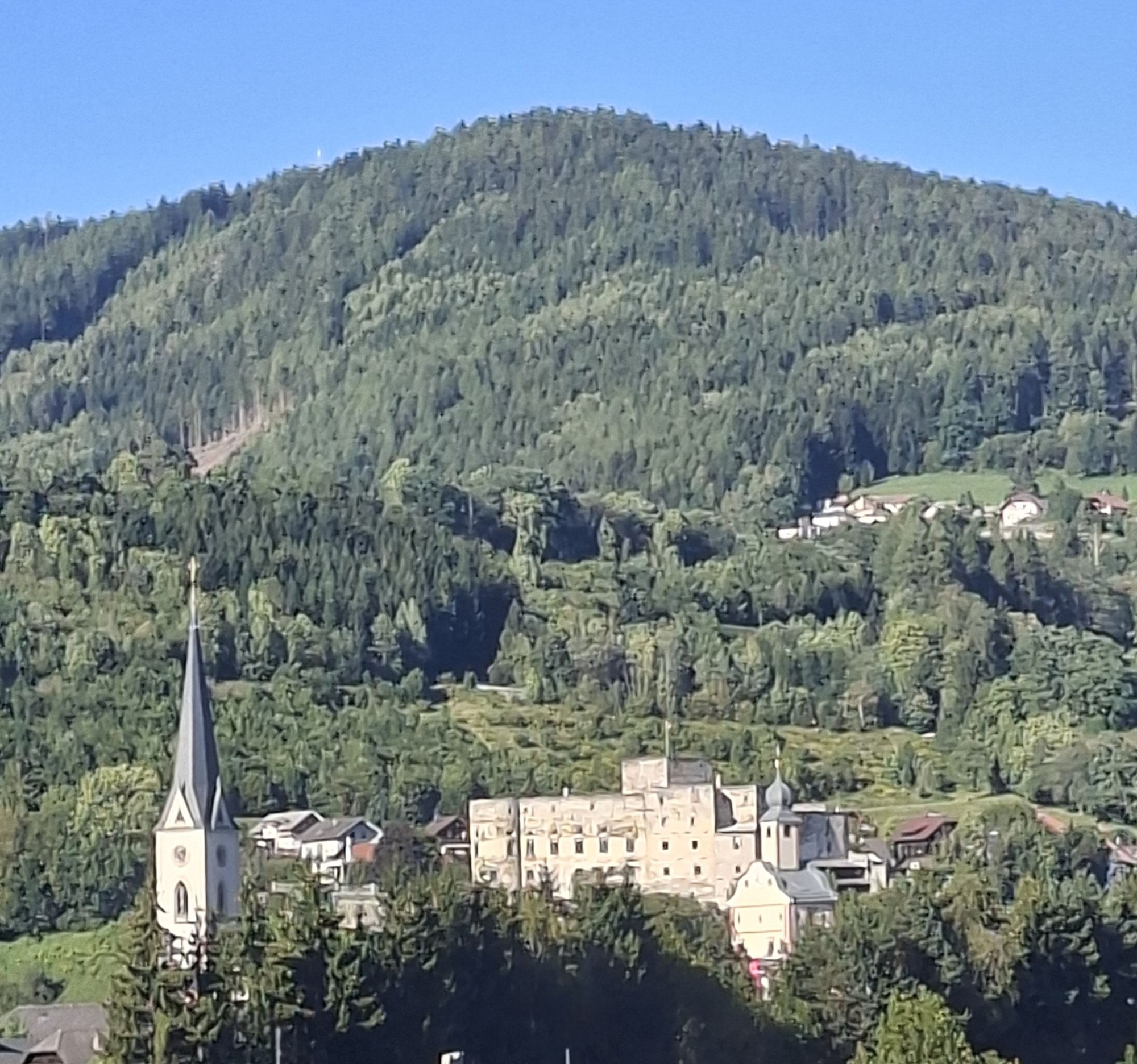
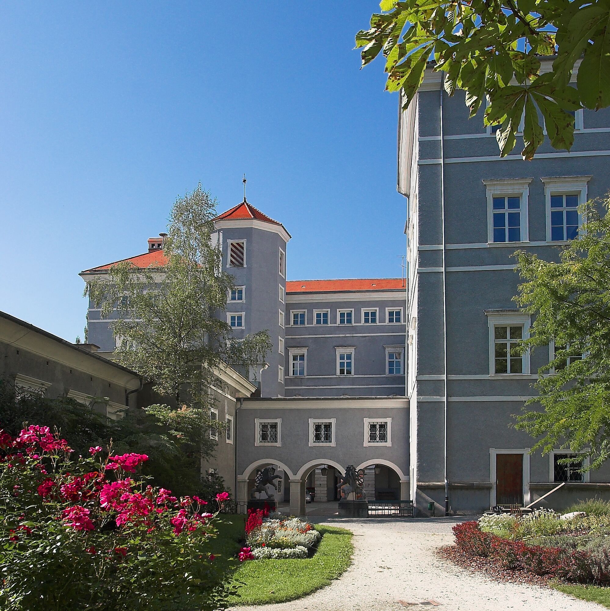
In the artist town of Gmünd, which is also considered the gateway to the two Carinthian national parks Hohe Tauern and Nockberge, you should take some time for a city tour to visit the numerous exhibitions and galleries or simply admire the excellently preserved medieval structures of the old town.

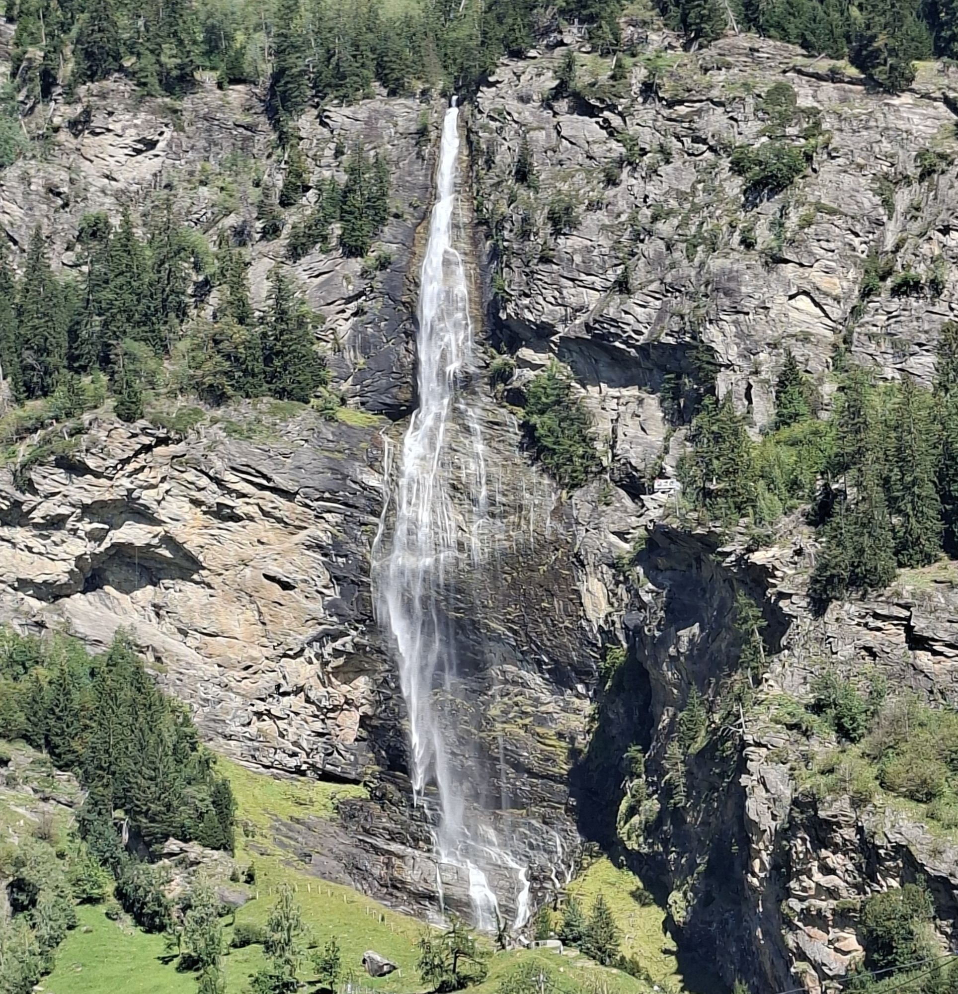
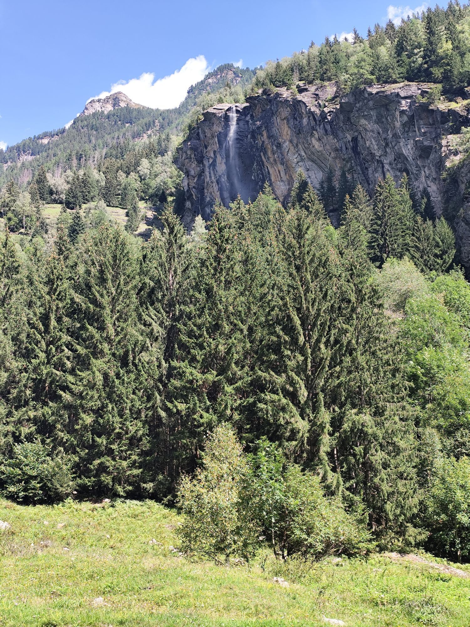
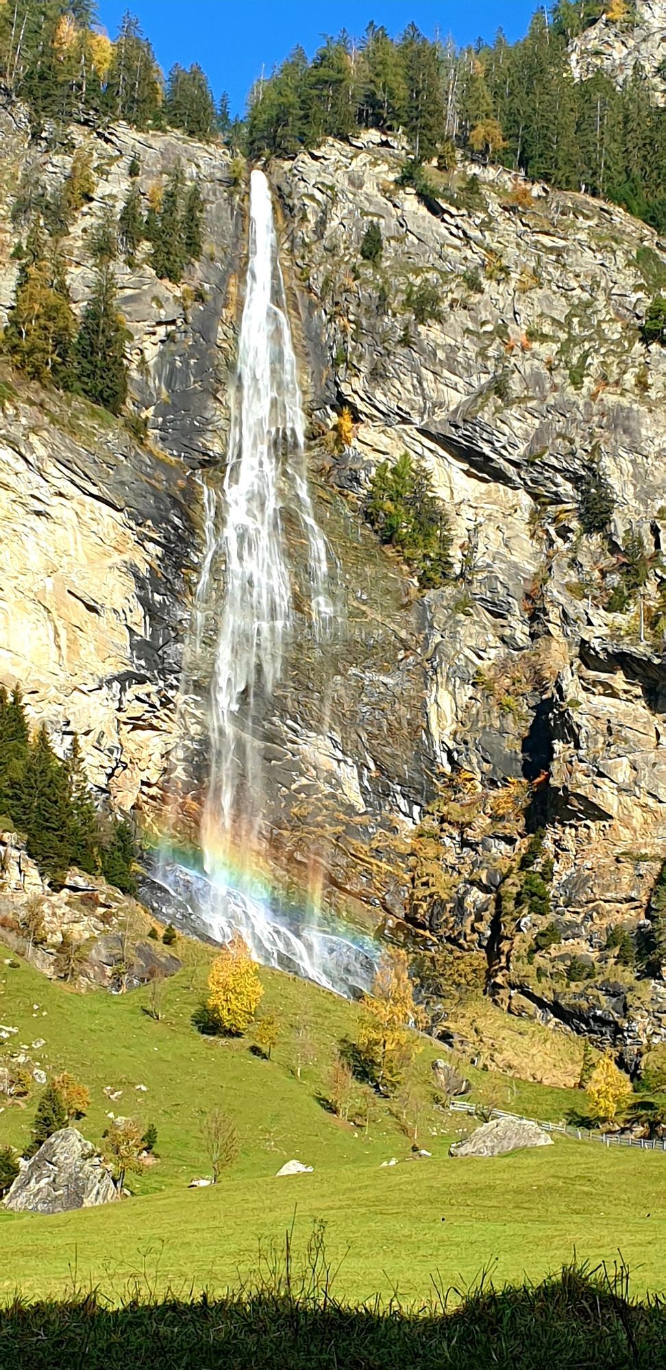
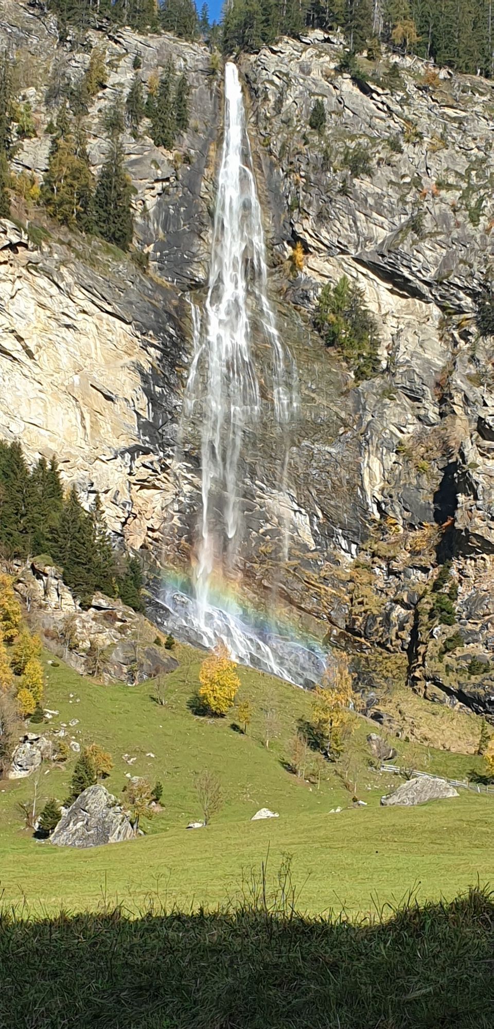
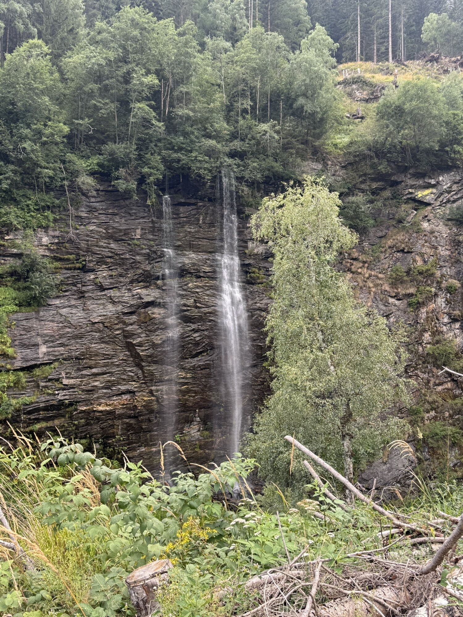
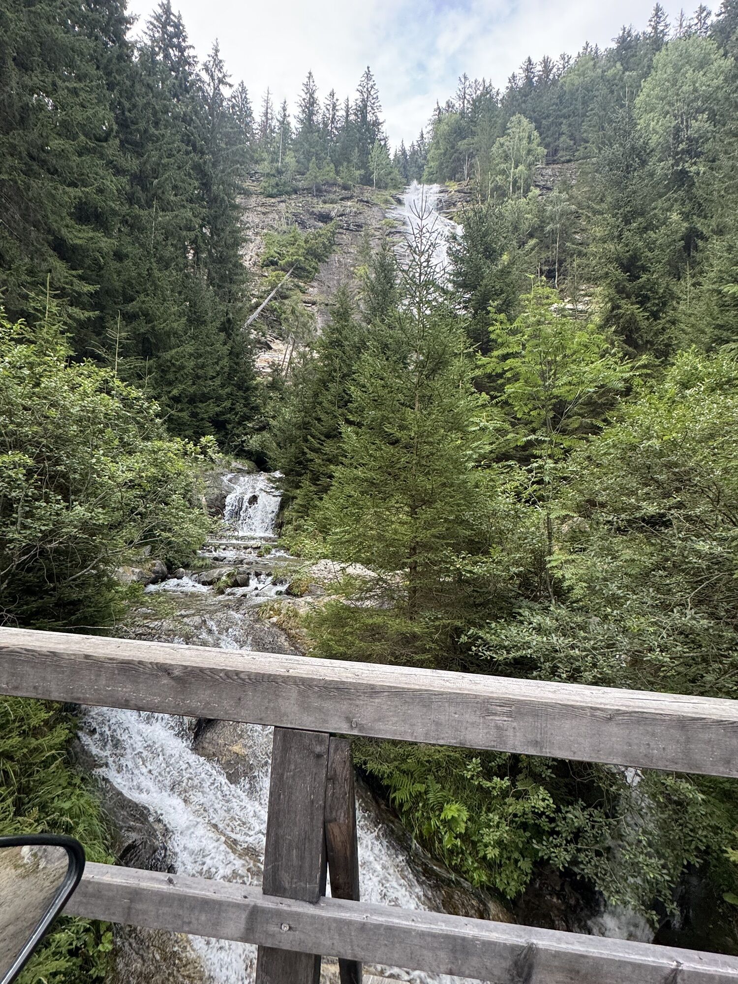
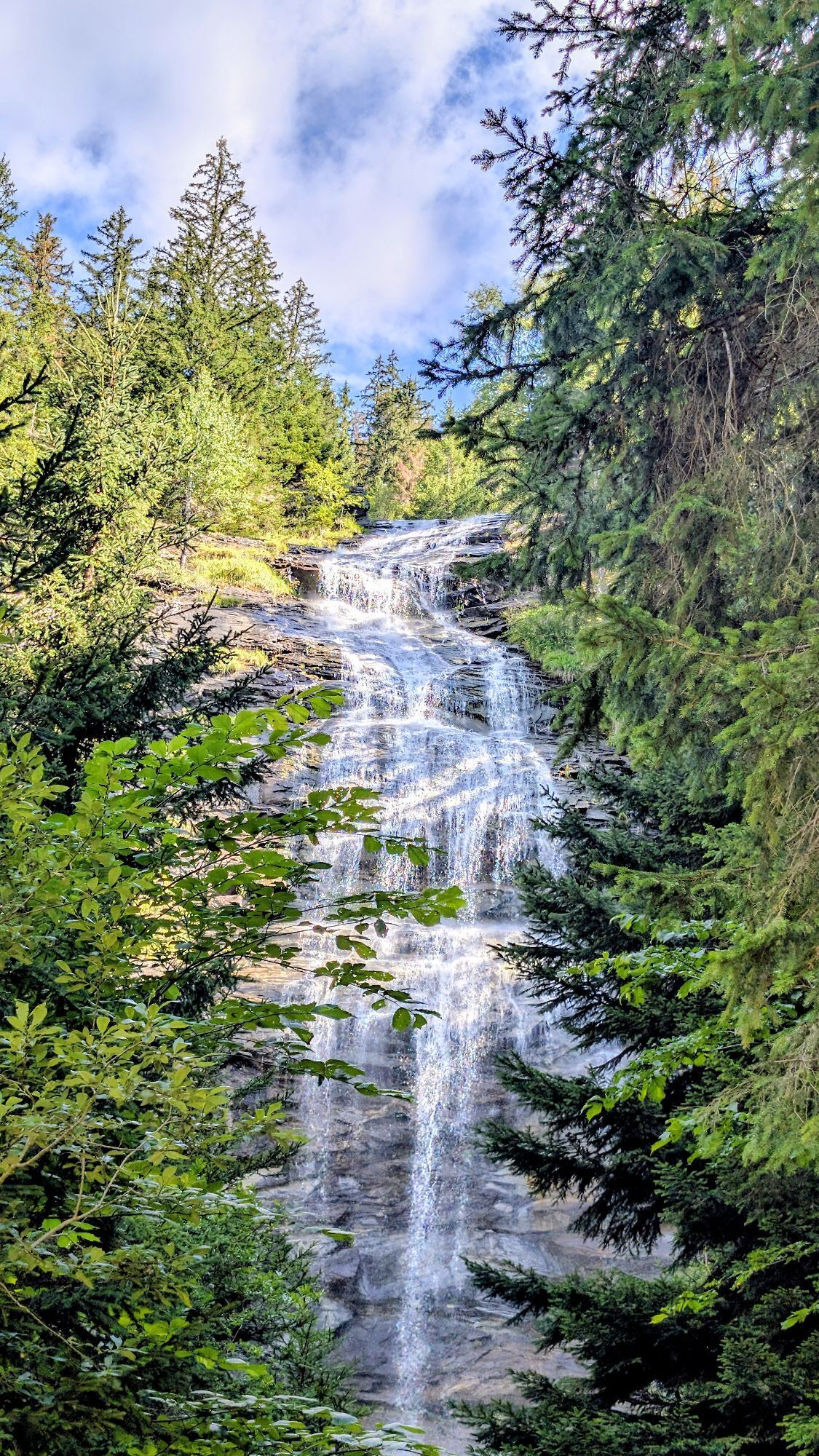
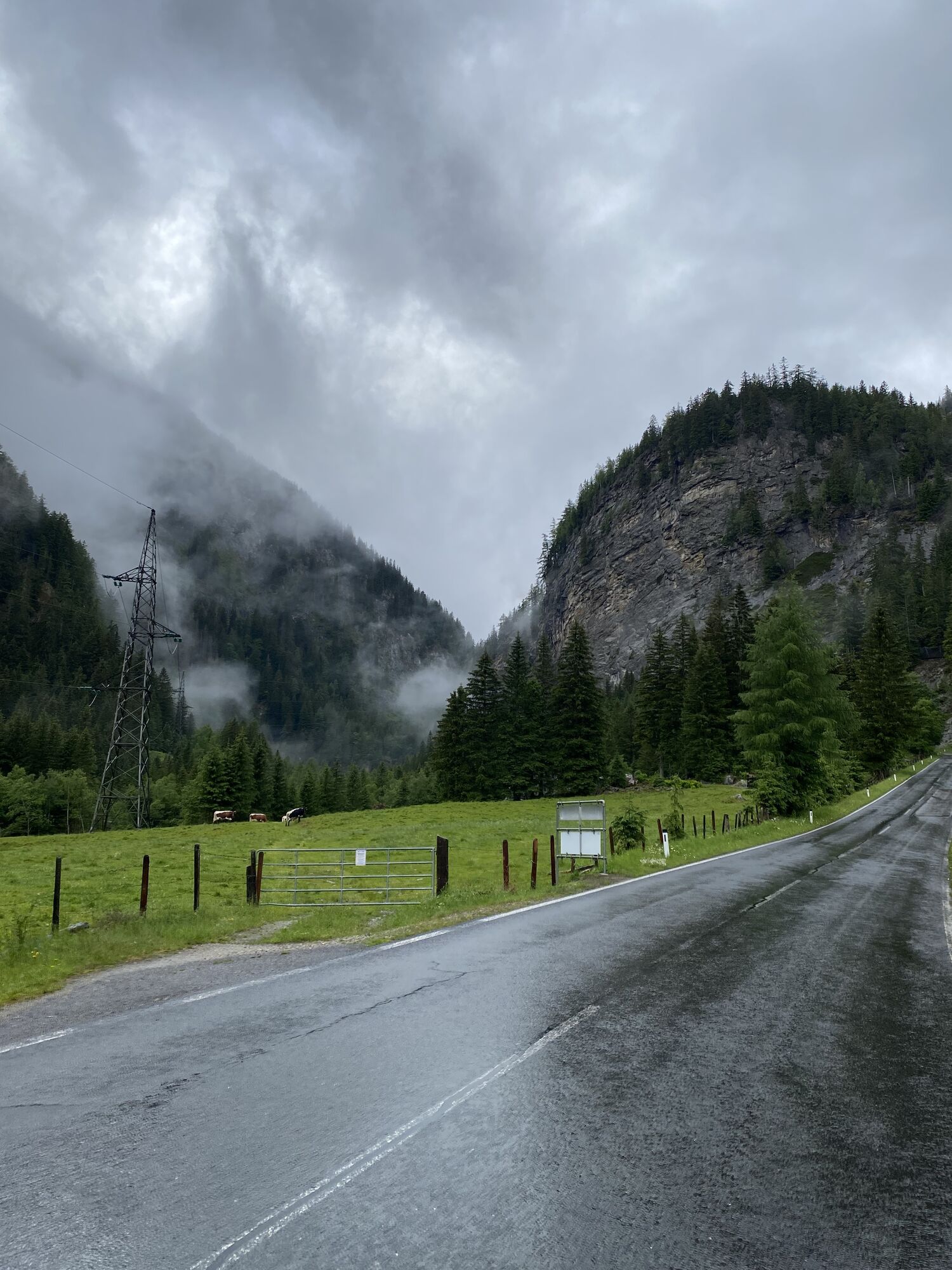
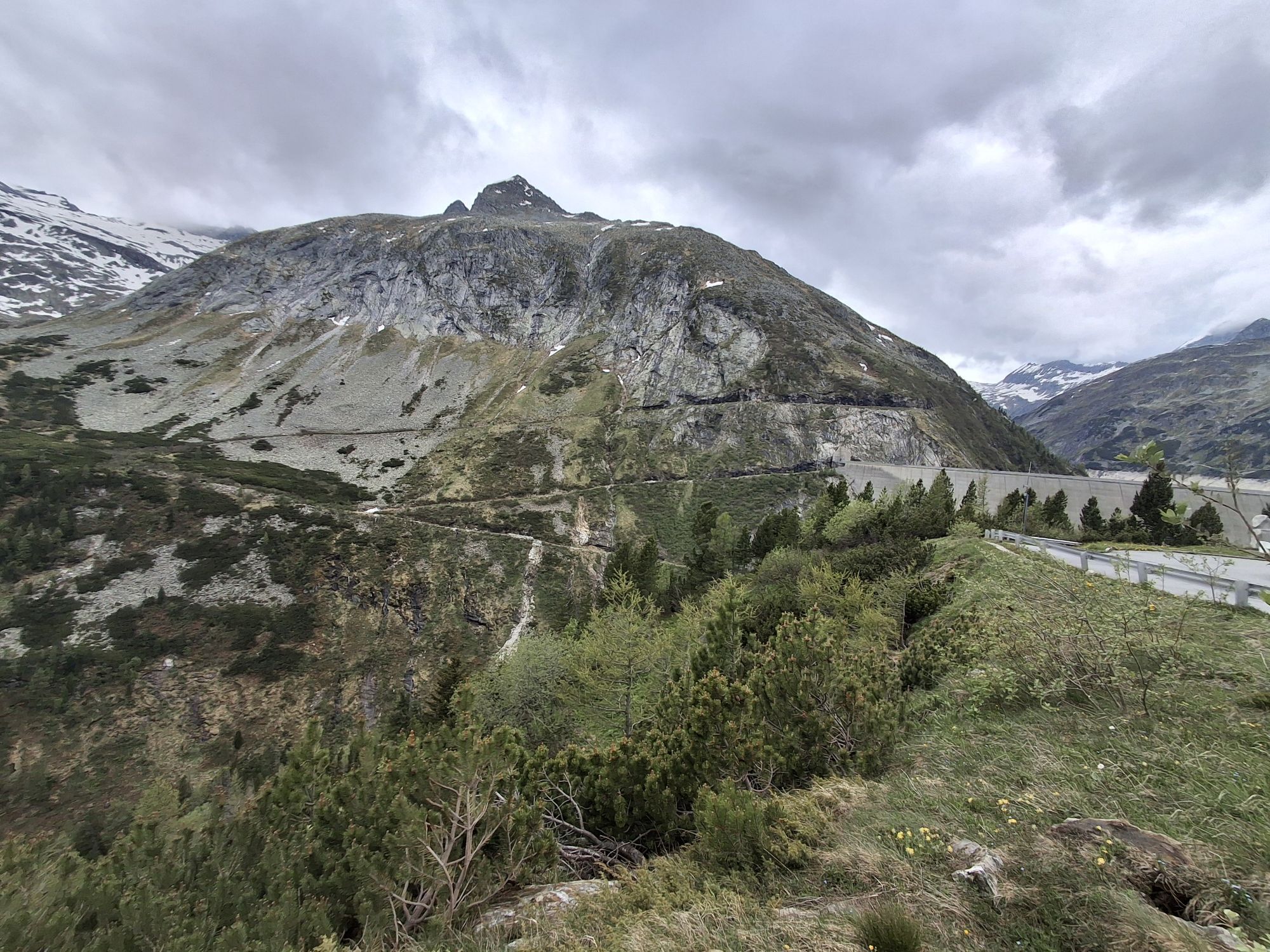
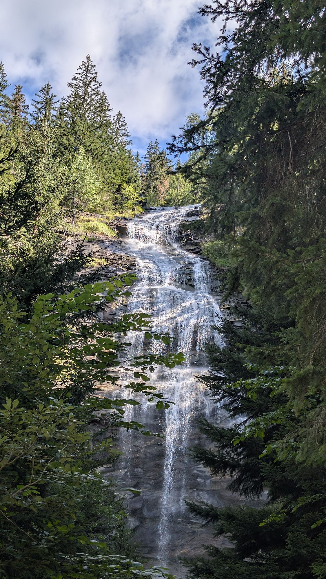
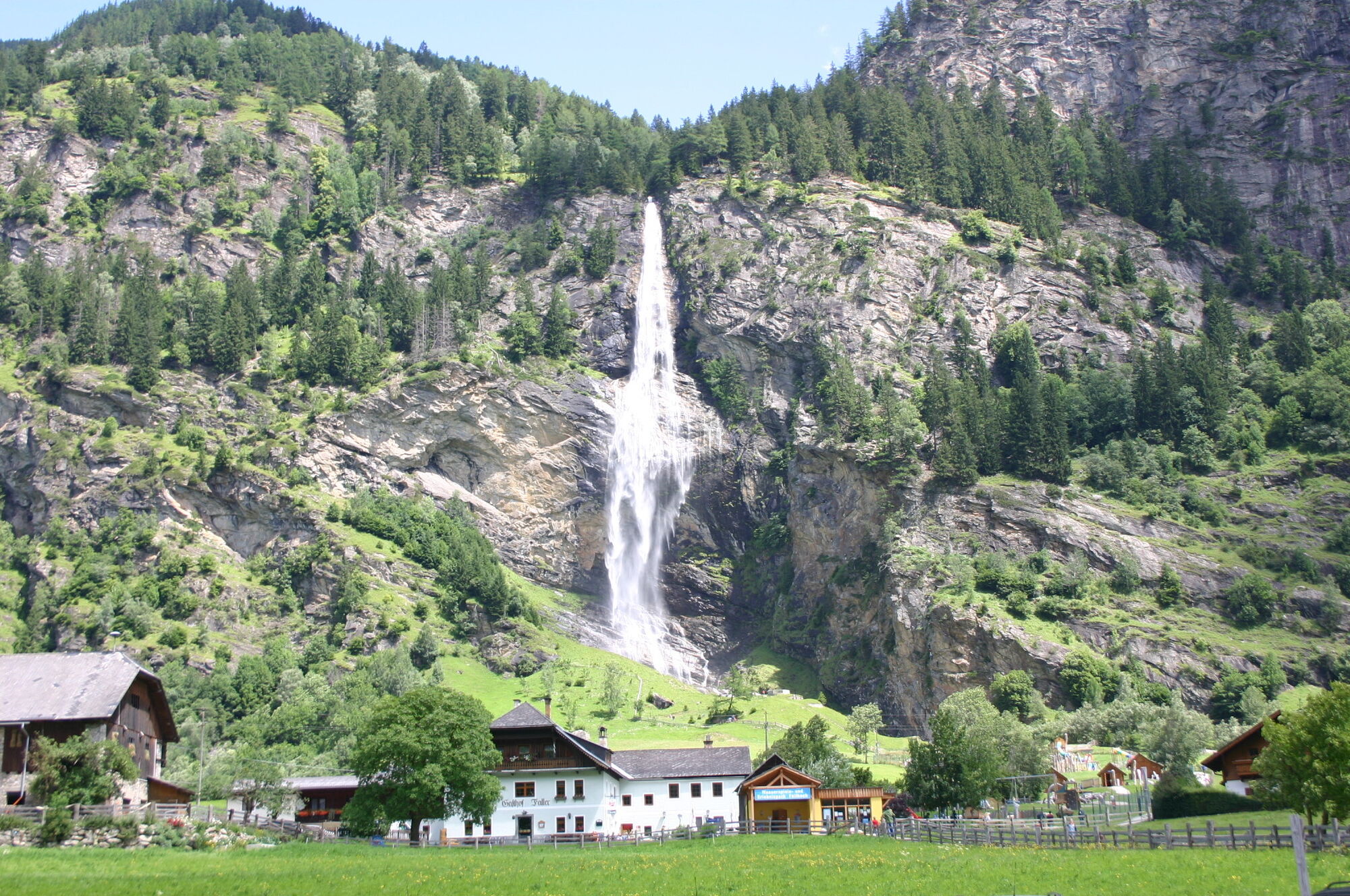
After that, you continue into the Maltatal, past the main town Malta, the Fallbach Waterfall, and other waterfalls to the toll station and thus to the beginning of the Malta High Alpine Road. The road is of course toll-free for cyclists, but especially in summer there is heavy motorized excursion traffic here. The Malta High Alpine Road is 14.4 km long from the toll station, with about 1,000 m of elevation to be covered, and the average gradient is therefore 8%. The High Alpine Road was originally built in the 1970s as a construction road for the erection of the dam and is today one of Austria's most popular excursion roads.

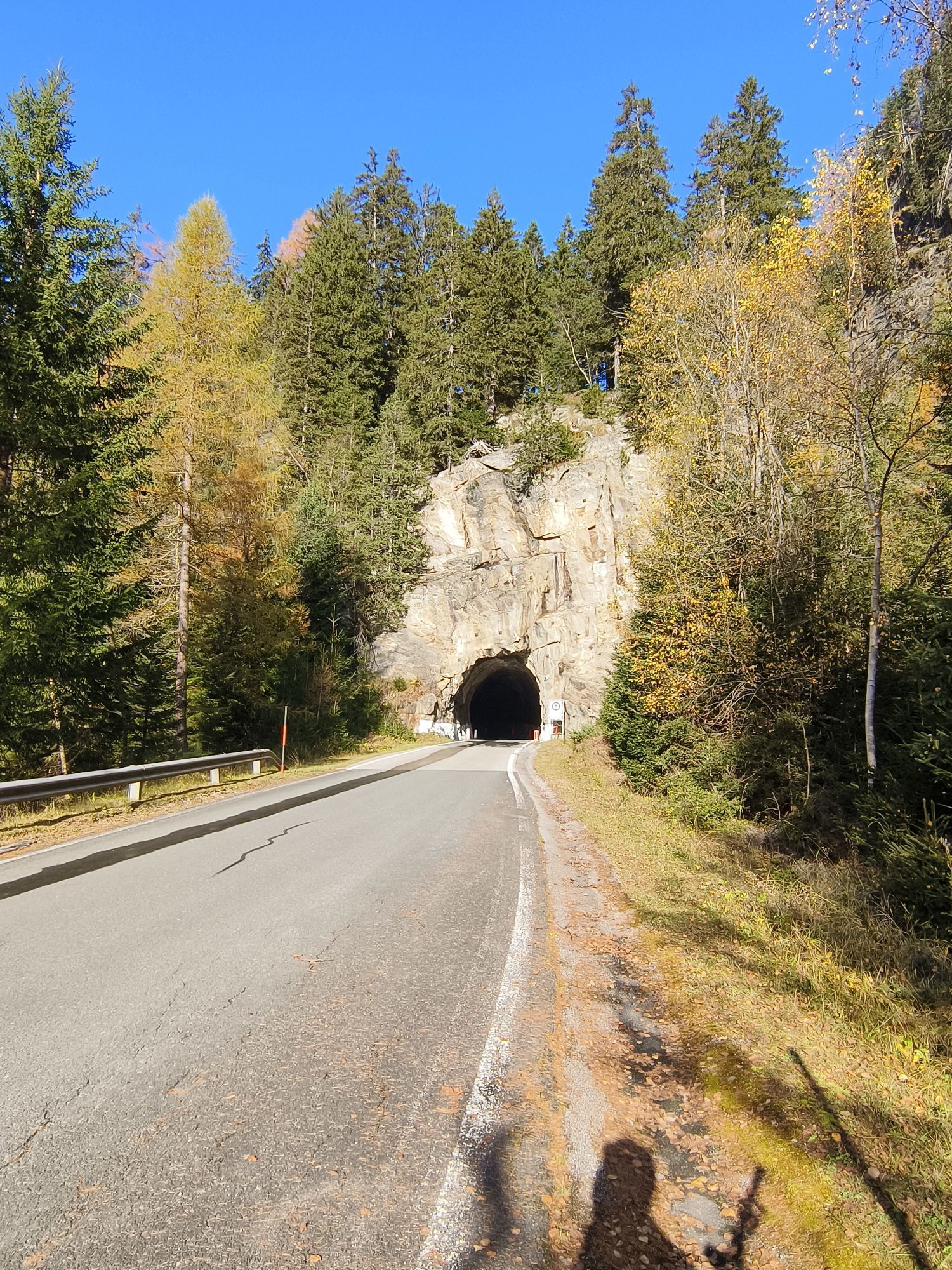
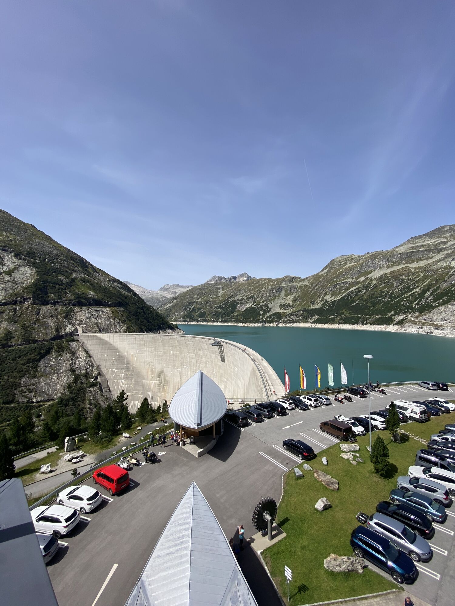
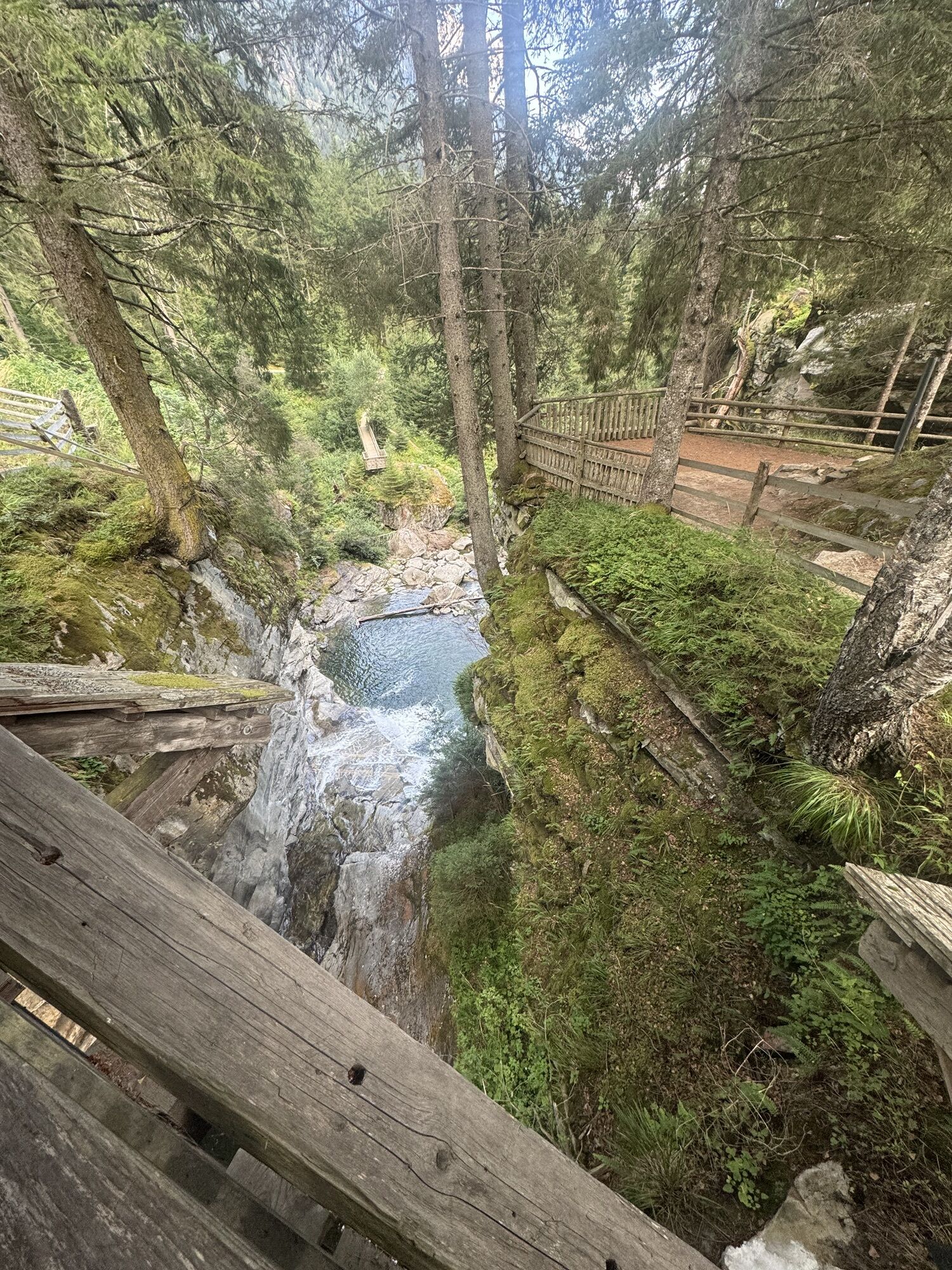
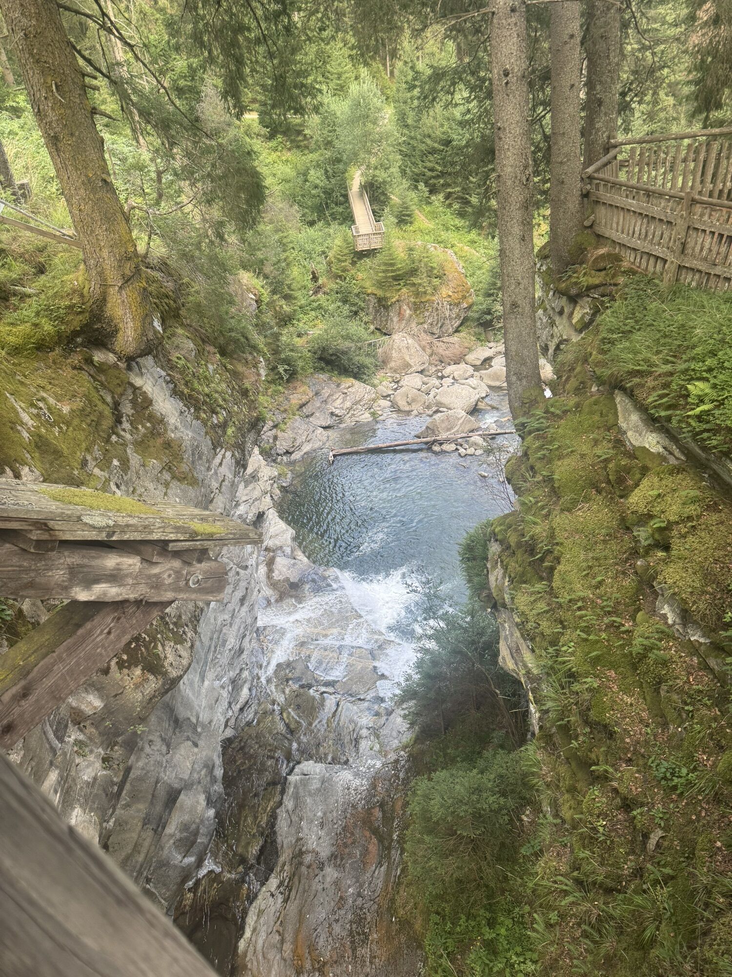
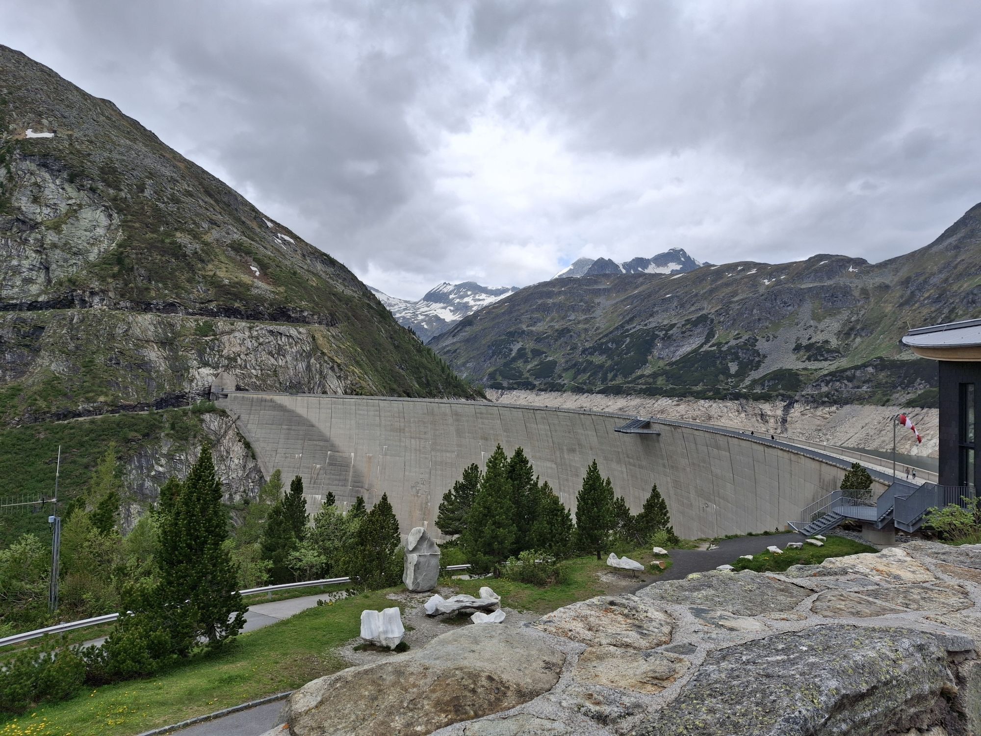
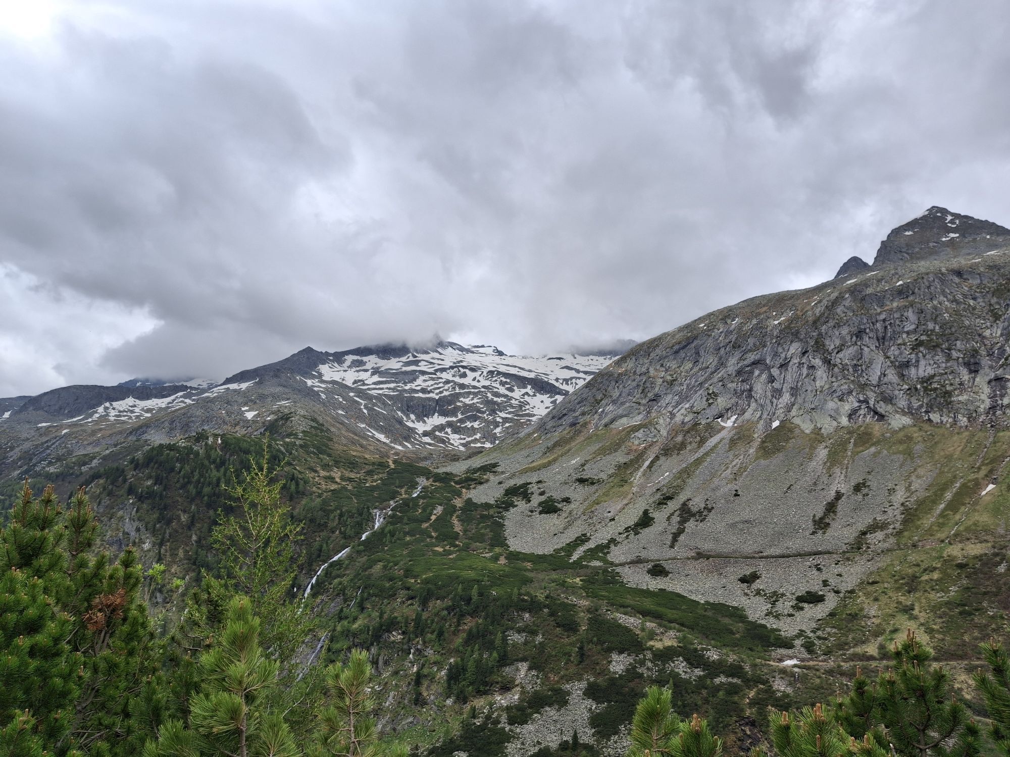
Shortly after the toll station, you reach the Malteiner Water Games, an adventure trail over five stations, which are partially very accessible from the road. Driving through the aforementioned six unlit tunnels gives the ascent an additional adrenaline kick, and in the end you have a perfect view of nature (Ankogel and Hafner group) and technology (Kölnbrein Dam, Galgenbichl pre-reservoir).

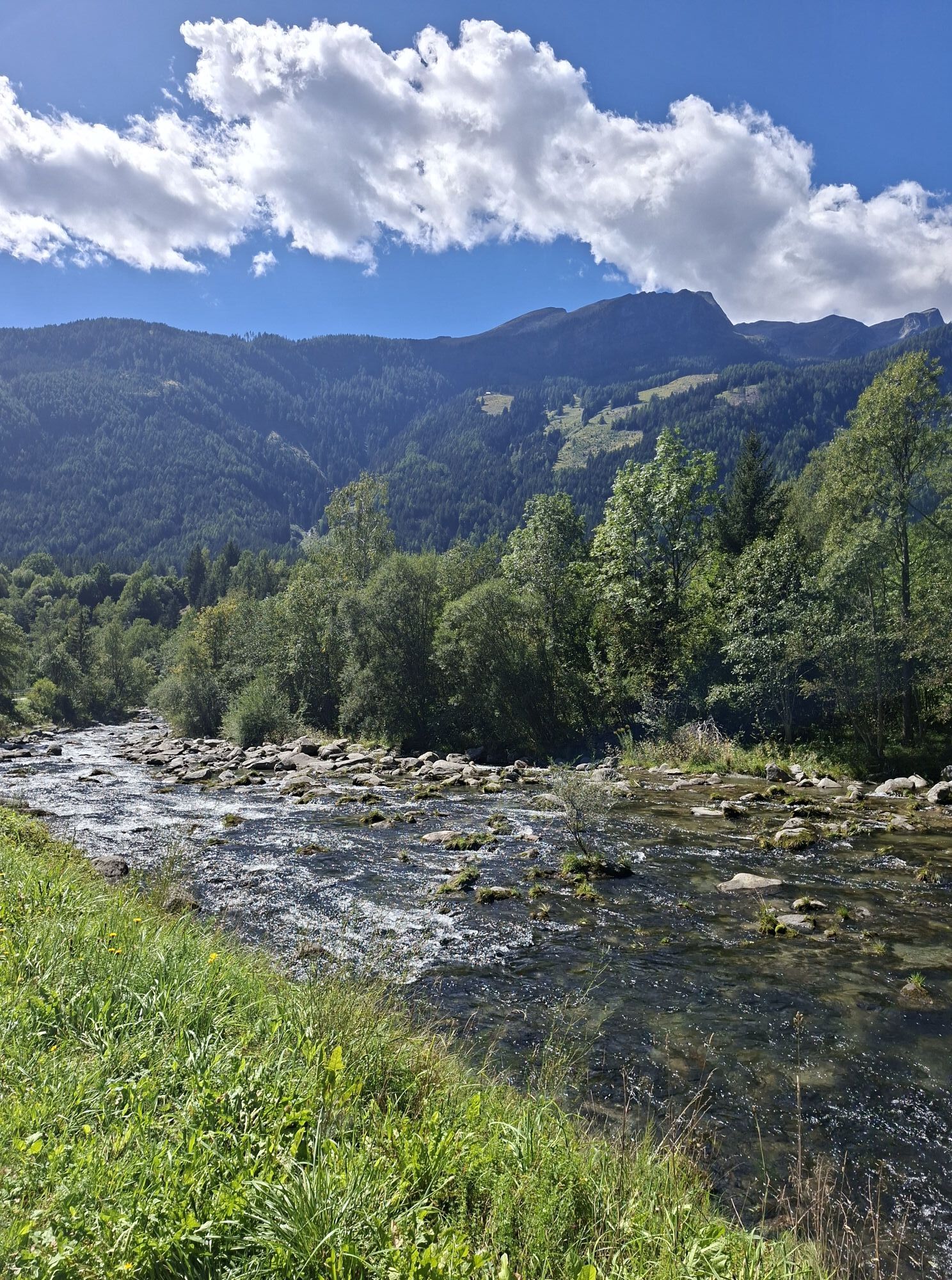
After a long rest with walking along the dam wall, the fast and partly dangerous descent back into the valley follows (wet sections; unlit tunnels; oncoming traffic), you leisurely roll along the Malta river to Gmünd and then through the Lieser valley on the B99 back to the starting point.

Trasa
Trasa
Mapa
Malta High Alpine Road
ciężki
Droga rowerowa
85,00 km
Seespitz
(597 m)
Sąsiedztwo
0,0 km
Seeboden
(618 m)
Miasto
0,1 km
Unterhaus
(744 m)
Wioska
1,9 km
Schloßau
(746 m)
Wioska
2,0 km
Liedweg
(764 m)
Wioska
2,4 km
Treffling
(828 m)
Wioska
3,1 km
Perau
(874 m)
Rozliczenie
10,8 km
Gasthof Moser-Jagawirt
(833 m)
Restauracja
11,8 km
Landfraß
(807 m)
Rozliczenie
12,0 km
Moostratte
(741 m)
Rozliczenie
13,3 km
Laufanger
(749 m)
Korytarz/teren
13,7 km
Burgwiese
(781 m)
Rozliczenie
14,1 km
Gmünd
(748 m)
Miasto
14,2 km
Karnerau
(752 m)
Rozliczenie
15,7 km
Grünleiten
(767 m)
Rozliczenie
16,9 km
Locus Malontina
(767 m)
Restauracja
17,6 km
Fischertratten
(782 m)
Wioska
18,1 km
Pfiff
(812 m)
Restauracja
19,6 km
Malta
(838 m)
Wioska
20,2 km
Brandstatt
(845 m)
Wioska
25,8 km
Fallerhütte
(908 m)
Restauracja
29,0 km
Dr. Gustav Renker Ruhe
(963 m)
Punkt widzenia
29,6 km
Melnikfall
(1 045 m)
Wodospad
29,7 km
Hochalm waterfall
(1 185 m)
Wodospad
33,2 km
Gmünder Hütte
(1 187 m)
Schronienie
33,3 km
Hinterer Maralmfall
(1 394 m)
Wodospad
34,8 km
Klammfall
(1 313 m)
Wodospad
35,3 km
Gasthof Almrausch
(1 572 m)
Restauracja
38,4 km
Berghotel Malta
(1 925 m)
Restauracja
42,6 km
Gasthof Almrausch
(1 572 m)
Restauracja
46,8 km
Klammfall
(1 313 m)
Wodospad
49,9 km
Hinterer Maralmfall
(1 394 m)
Wodospad
50,3 km
Hochalm waterfall
(1 185 m)
Wodospad
51,7 km
Gmünder Hütte
(1 186 m)
Restauracja
51,8 km
Melnikfall
(1 045 m)
Wodospad
55,5 km
Fallerhütte
(908 m)
Restauracja
56,2 km
Brandstatt
(845 m)
Wioska
59,2 km
Malta
(838 m)
Wioska
64,8 km
Pfiff
(812 m)
Restauracja
65,3 km
Fischertratten
(782 m)
Wioska
67,1 km
Locus Malontina
(767 m)
Restauracja
67,4 km
Grünleiten
(767 m)
Rozliczenie
68,0 km
Karnerau
(752 m)
Rozliczenie
69,4 km
Burgwiese
(781 m)
Rozliczenie
70,7 km
Gmünd
(748 m)
Miasto
71,0 km
Laufanger
(749 m)
Korytarz/teren
71,4 km
Trebesing-Bad
(707 m)
Rozliczenie
74,3 km
Dümpfe
(692 m)
Punkt widzenia
75,0 km
Oberallach
(848 m)
Wioska
77,0 km
Kras
(669 m)
Wioska
81,1 km
Lieserhofen
(710 m)
Wioska
81,4 km
Lieseregg
(645 m)
Rozliczenie
81,7 km
Lieserbrücke
(605 m)
Wioska
82,4 km
Seebach
(589 m)
Wioska
83,3 km
Seespitz
(597 m)
Sąsiedztwo
84,9 km
Seeboden
(618 m)
Miasto
84,9 km
Informacje o wycieczce

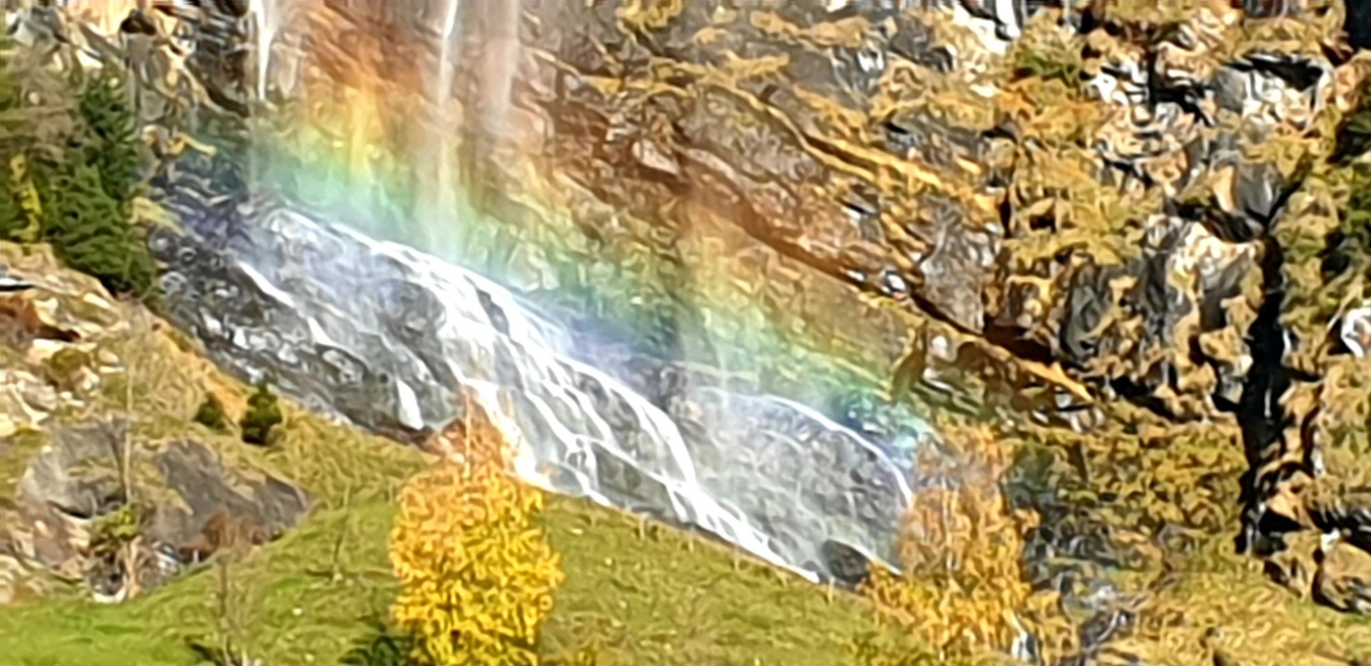
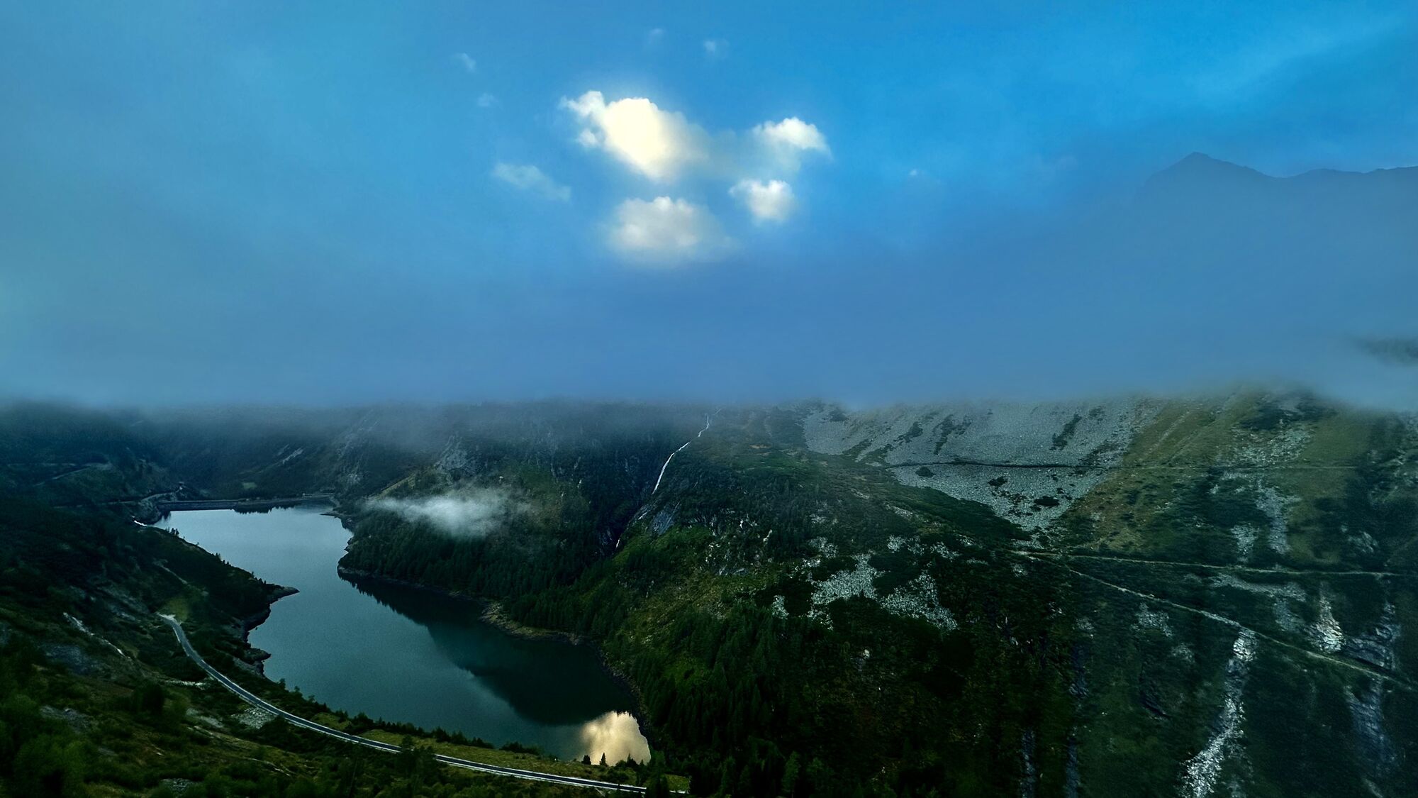
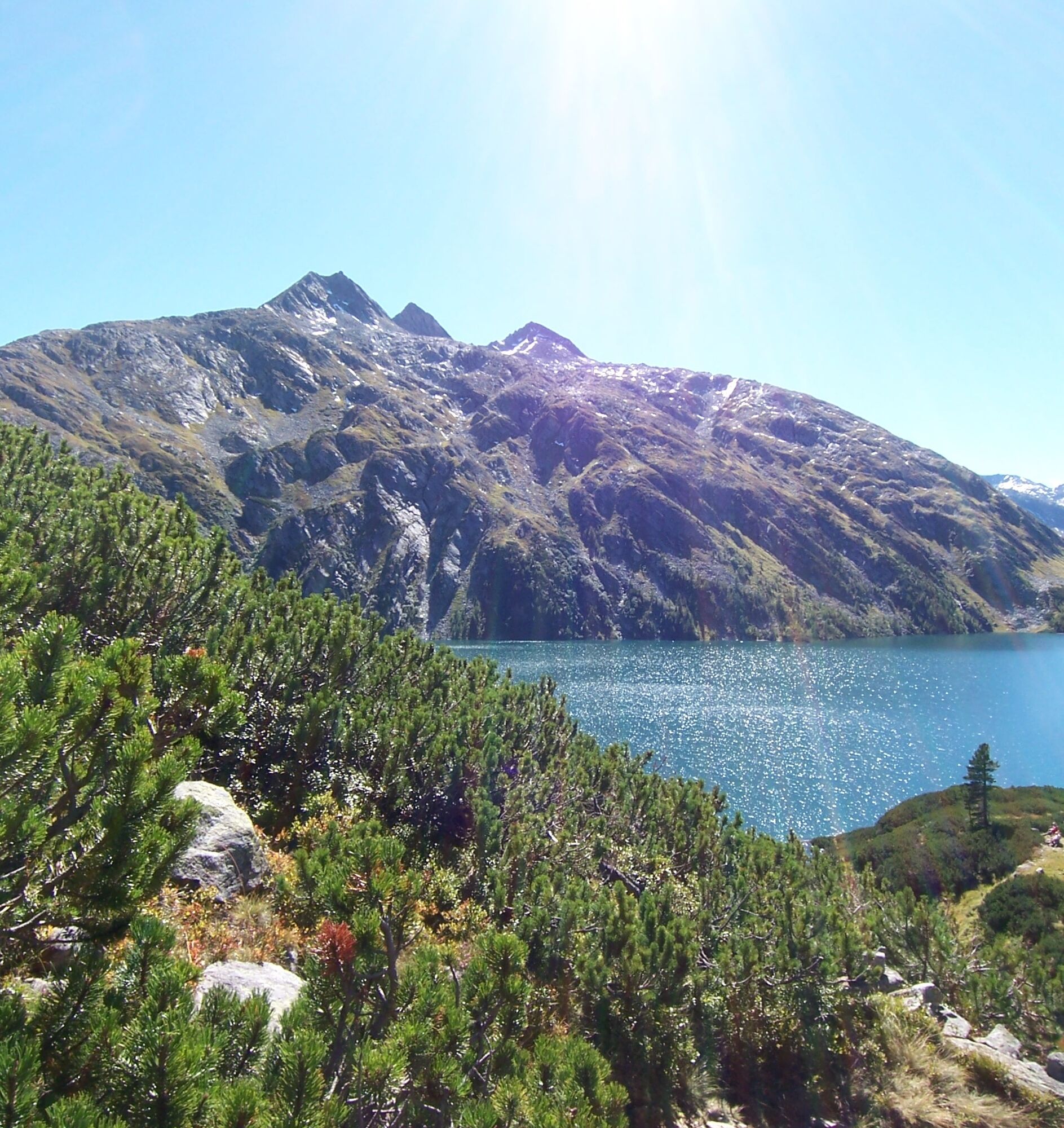
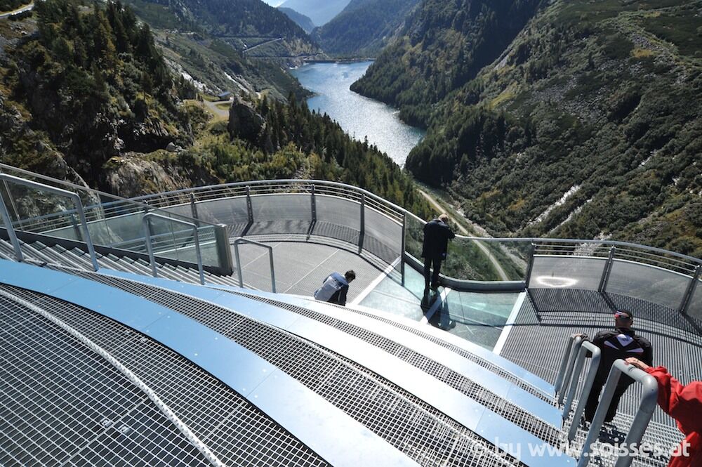
Through the Maltatal, also known as the valley "of the falling waters" (a highlight is the Fallbach Waterfall, which with a drop height of 200 m is considered Austria's highest waterfall), you go along the boldly constructed Malta High Alpine Road through six tunnels carved out of rock and numerous hairpin bends up to the Kölnbrein Dam (1,902 m), Austria's highest dam, which has offered breathtaking views with the "Skywalk" viewing platform since 2010.

Technologia
6 / 6
Stan
5 / 6
Krajobraz
5 / 6
Doświadczenie
5 / 6
Najlepsza pora roku
Sty
Lut
Mar
Kwi
Maj
Cze
Lip
Sie
Wrz
Paź
Lis
Gru
Autor
Dostarczone przez Kärnten
Logo
Udostępnij trasę
Mapa
Malta High Alpine Road
ciężki
Droga rowerowa
85,00 km
Błąd
Wystąpił błąd. Spróbuj ponownie.
Informacje o trasie
Trasa

Seeboden - Treffling - Perau - Gmünd - Malta - Malta High Alpine Road - Kölnbrein Dam - Malta - Gmünd - Trebesing - Seeboden

Wycieczka na szczyt

Tak

Wycieczka w jedną stronę

Tak

Instrukcje bezpieczeństwa

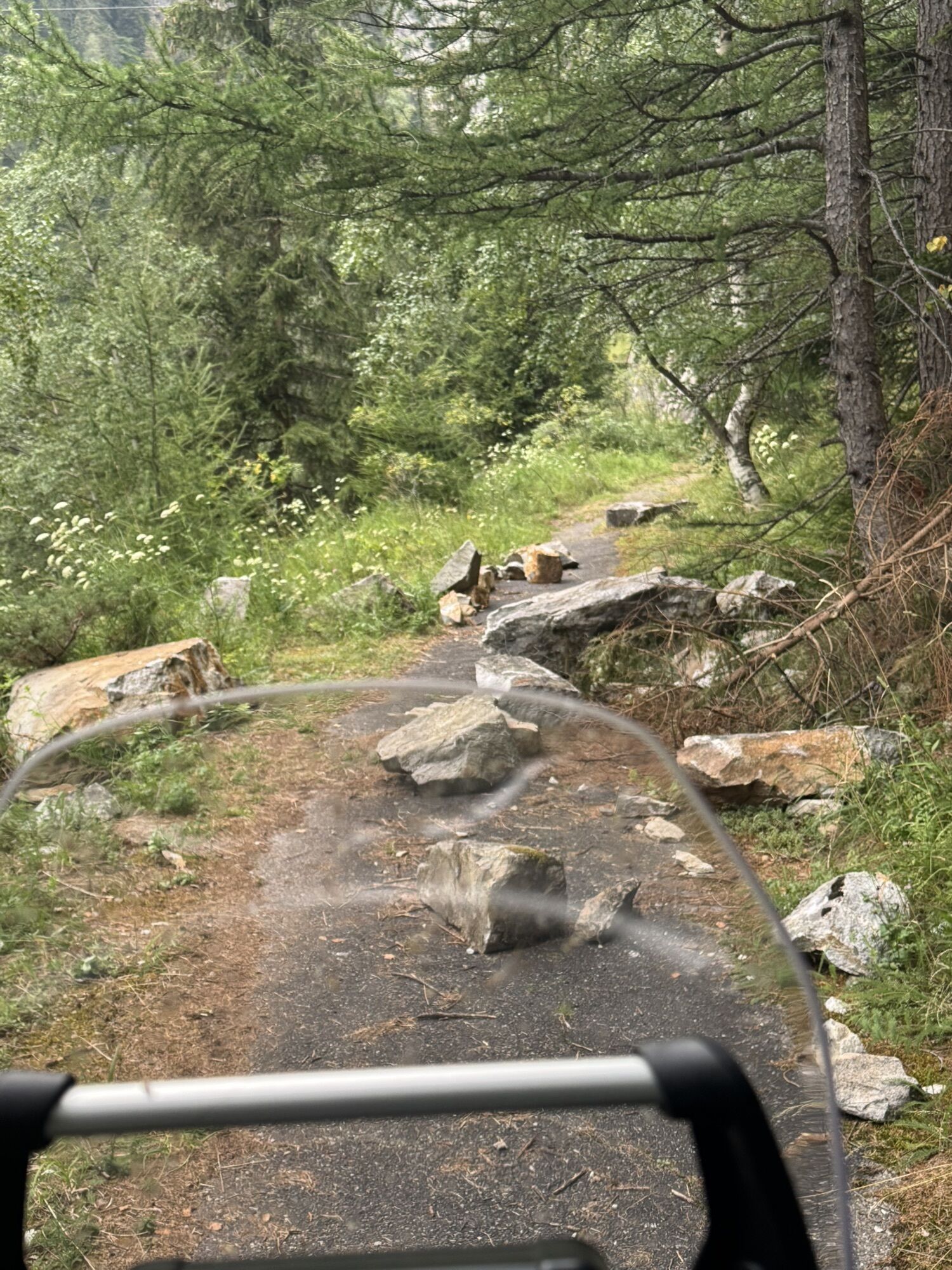
Six unlit tunnels, the longest about 500 m long, must be passed on the Malta High Alpine Road!

Dodatkowe informacje i wskazówki
Poziom trudności

6

Dodatkowe informacje

www.verbund-tourismus.at

Wskazówki
Bring lighting for the tunnel rides

Walking on the dam or Skywalk

Wyceny
1,0
5
(0)
4
(0)
3
(0)
2
(0)
1
(1)
Napisz recenzję

Recenzje pomagają innym użytkownikom wybrać kolejną przygodę. Oceniaj tylko trasę, a nie pogodę lub przekąskę.

Wybierz jedną z gwiazdek, aby ocenić wycieczkę
Zła trasa
Słaba trasa
Przeciętna wycieczka
Dobra wycieczka
Doskonała wycieczka
Wędrówki i tropienie

Wędrówki i tropienie

Pobierz dla iOSPobierz dla systemu Android
Wędrówki i tropienie
Ponad 550.000 propozycji wycieczek, szczegółowe mapy i intuicyjny planer tras sprawiają, że aplikacja jest niezbędna dla wszystkich entuzjastów przyrody.
bergfex