


Ossiacher See - Rosental - Faaker See
Poziom trudności: 3
Zdjęcia naszych użytkowników
-
 © MangoleinUtworzono dnia 25.04.2026
 -
 © MangoleinUtworzono dnia 25.04.2026
 -
 © Karsten-aus-TirolUtworzono dnia 17.04.2026
 -
 © Claudia KanalzUtworzono dnia 12.03.2026
 -
 © Claudia KanalzUtworzono dnia 12.03.2026
 -
 © Claudia KanalzUtworzono dnia 12.11.2025
 -
 © Claudia KanalzUtworzono dnia 12.11.2025
 -
 © Claudia KanalzUtworzono dnia 12.11.2025
 -
 © Wörni68Utworzono dnia 12.08.2025
 -
 © Alois-Gerhard MairitschUtworzono dnia 10.06.2025
 -
 © Alois-Gerhard MairitschUtworzono dnia 10.06.2025
 -
 © Thomas D. 4Utworzono dnia 31.05.2025
 -
 © JoHuUtworzono dnia 04.05.2025
 -
 © JoHuUtworzono dnia 01.05.2025
 -
 © JoHuUtworzono dnia 27.04.2025
 -
 © JoHuUtworzono dnia 27.04.2025
 -
 © Maria SakelscheggUtworzono dnia 26.04.2025
 -
 © Maria SakelscheggUtworzono dnia 26.04.2025
 -
 © Maria SakelscheggUtworzono dnia 26.04.2025
 -
 © Zuzana UlicnaUtworzono dnia 12.04.2025
 -
 © Werner LiebfahrtUtworzono dnia 08.04.2025
 -
 © LpetraUtworzono dnia 01.05.2026
 -
 © Martin LexaUtworzono dnia 03.01.2026
 -
 © Claudia KanalzUtworzono dnia 02.01.2026
 -

 © weichboUtworzono dnia 05.11.2025
 -

 © PatrickVonGurkUtworzono dnia 26.10.2025
 -
 © Gerhard PiglmannUtworzono dnia 13.09.2025
 -
 © Gerhard PiglmannUtworzono dnia 13.09.2025
 -
 © roxana62Utworzono dnia 09.09.2025
 -
 © roxana62Utworzono dnia 09.09.2025
 -
 © roxana62Utworzono dnia 09.09.2025
 -
 © Thomas Michalek 1Utworzono dnia 30.08.2025
 -
 © Alois-Gerhard MairitschUtworzono dnia 12.07.2025
 -
 © Alois-Gerhard MairitschUtworzono dnia 12.07.2025
 -
 © Alois-Gerhard MairitschUtworzono dnia 12.07.2025
 -
 © Alois-Gerhard MairitschUtworzono dnia 12.07.2025
 -
 © Alois-Gerhard MairitschUtworzono dnia 12.07.2025
 -
 © Christian MattersdorferUtworzono dnia 09.06.2025
 -
 © Kreva89Utworzono dnia 24.05.2025
 -
 © Raftandroll HungaryUtworzono dnia 11.05.2025
 -
 © Albin1958Utworzono dnia 06.03.2025
 -
 © Gerhard PiglmannUtworzono dnia 07.09.2024
 -
 © Dagmar HoferUtworzono dnia 04.05.2023
 -
 © Dagmar HoferUtworzono dnia 04.05.2023
 -
 © Dagmar HoferUtworzono dnia 04.05.2023


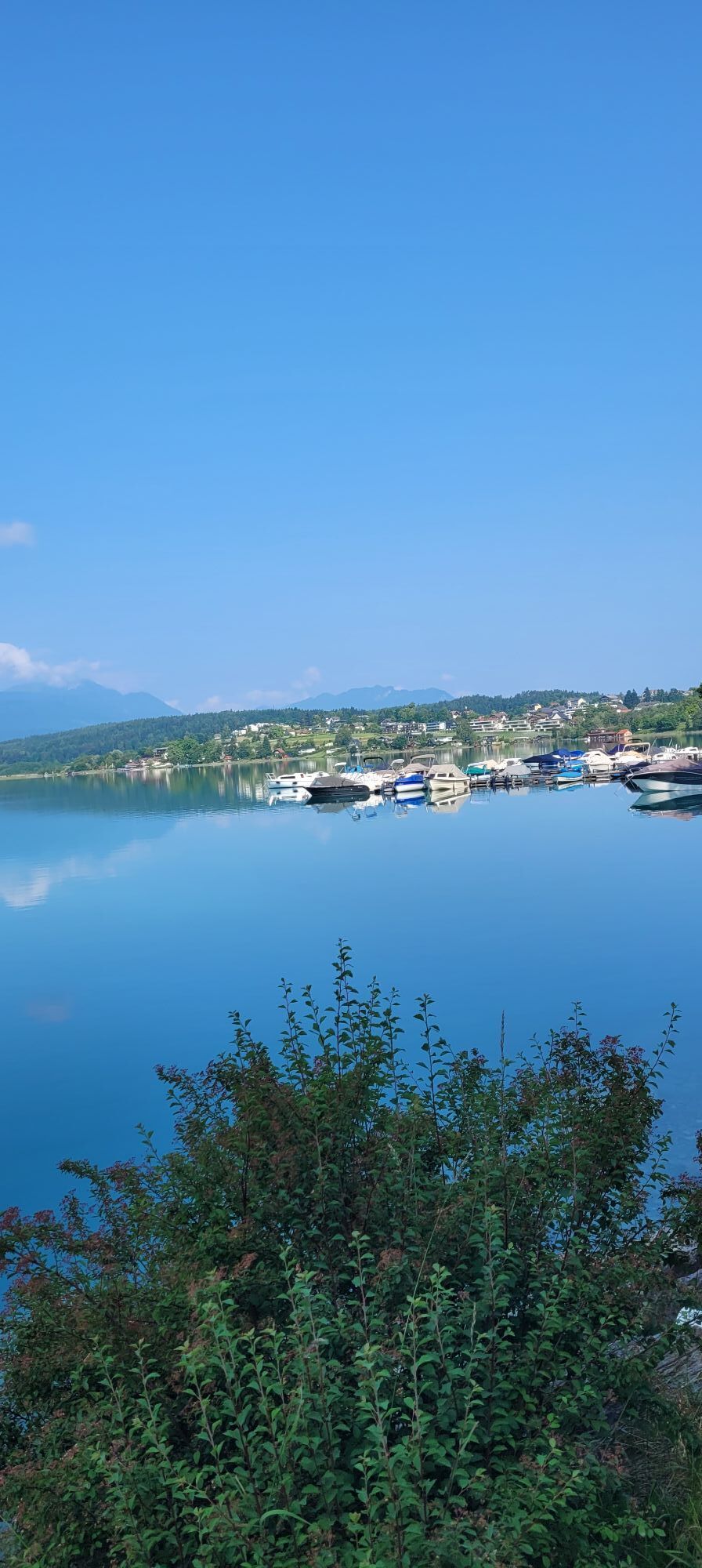
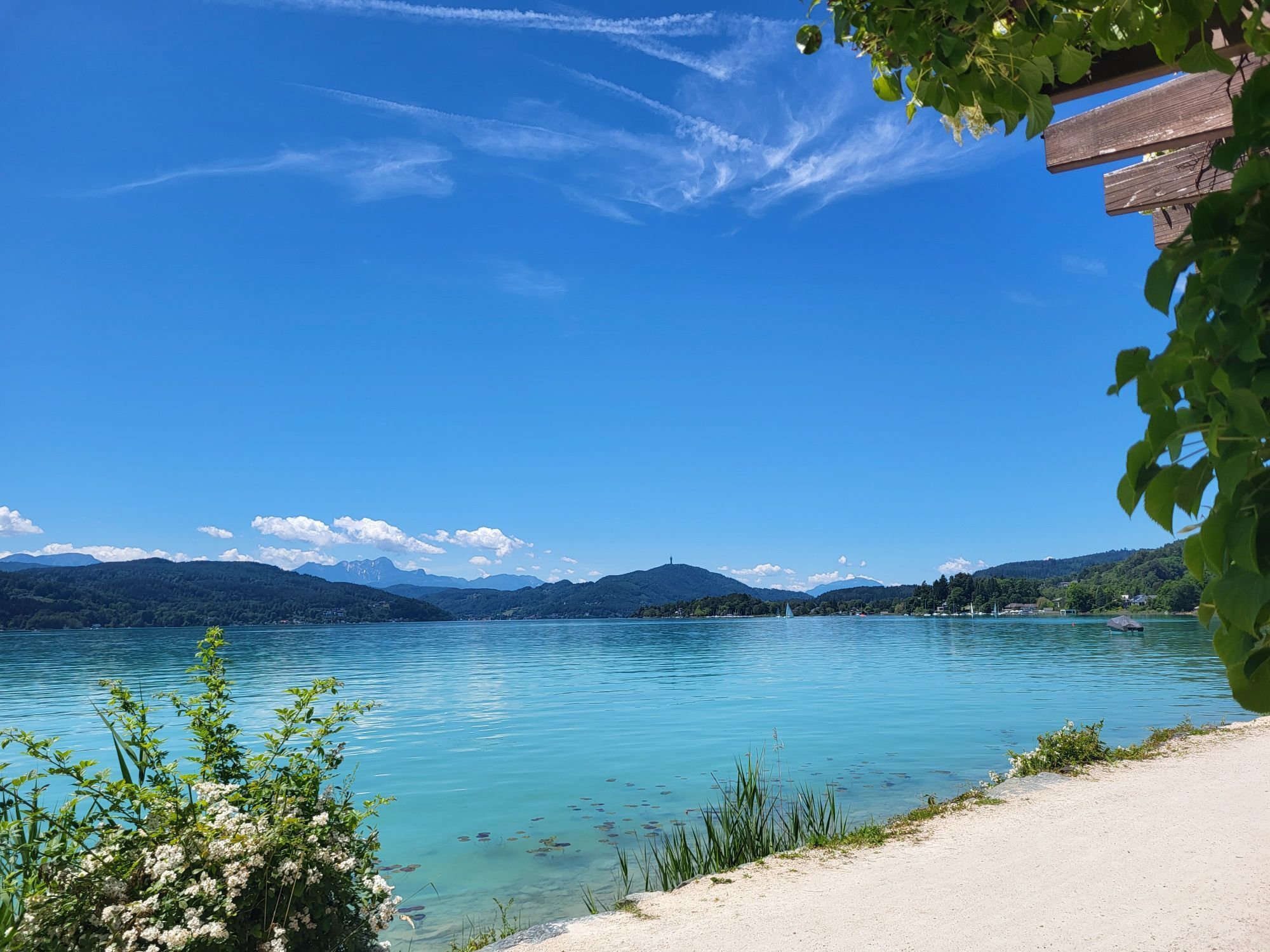

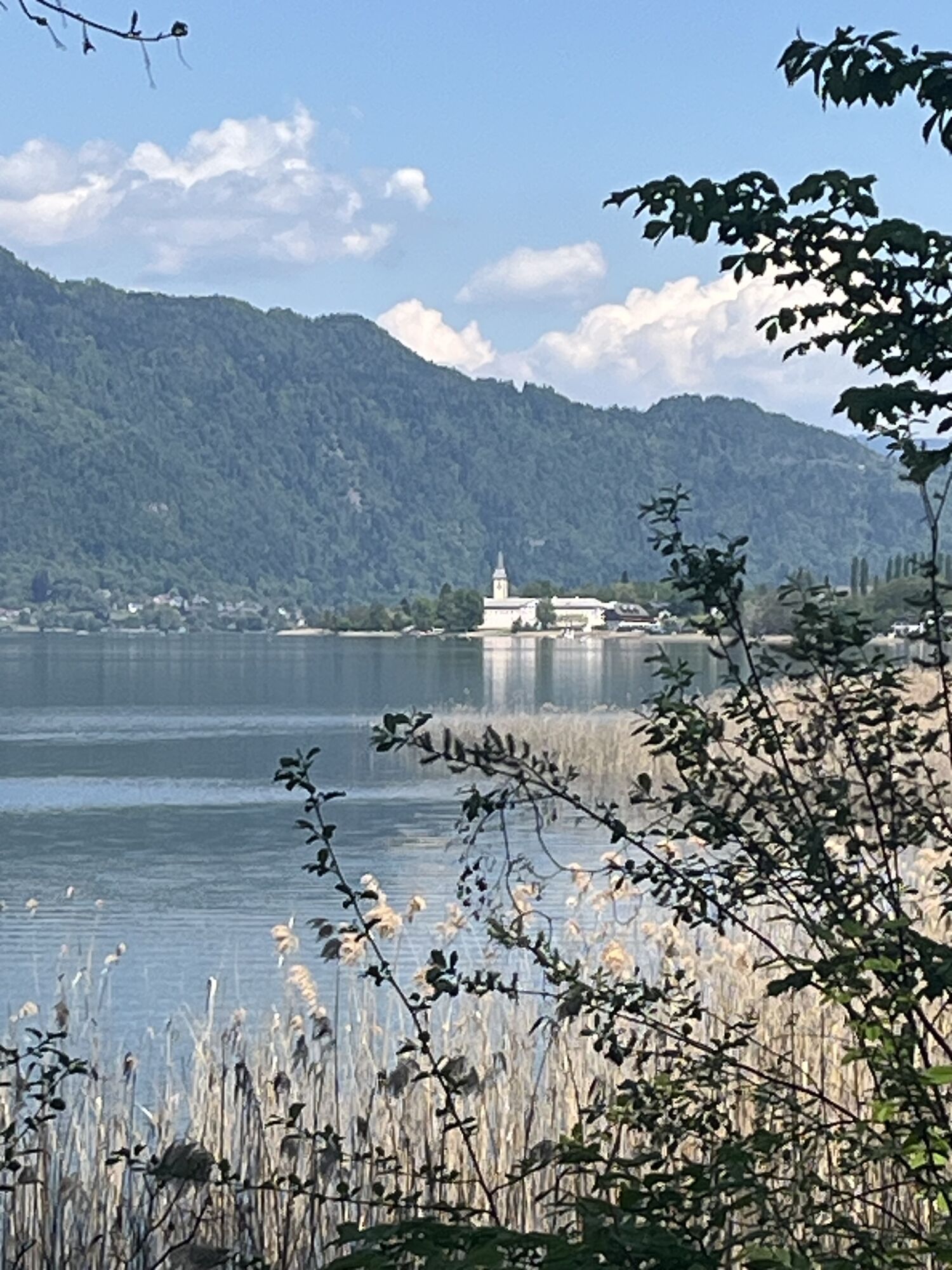
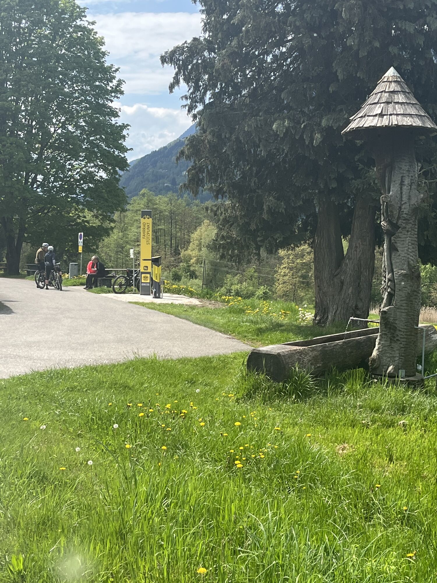
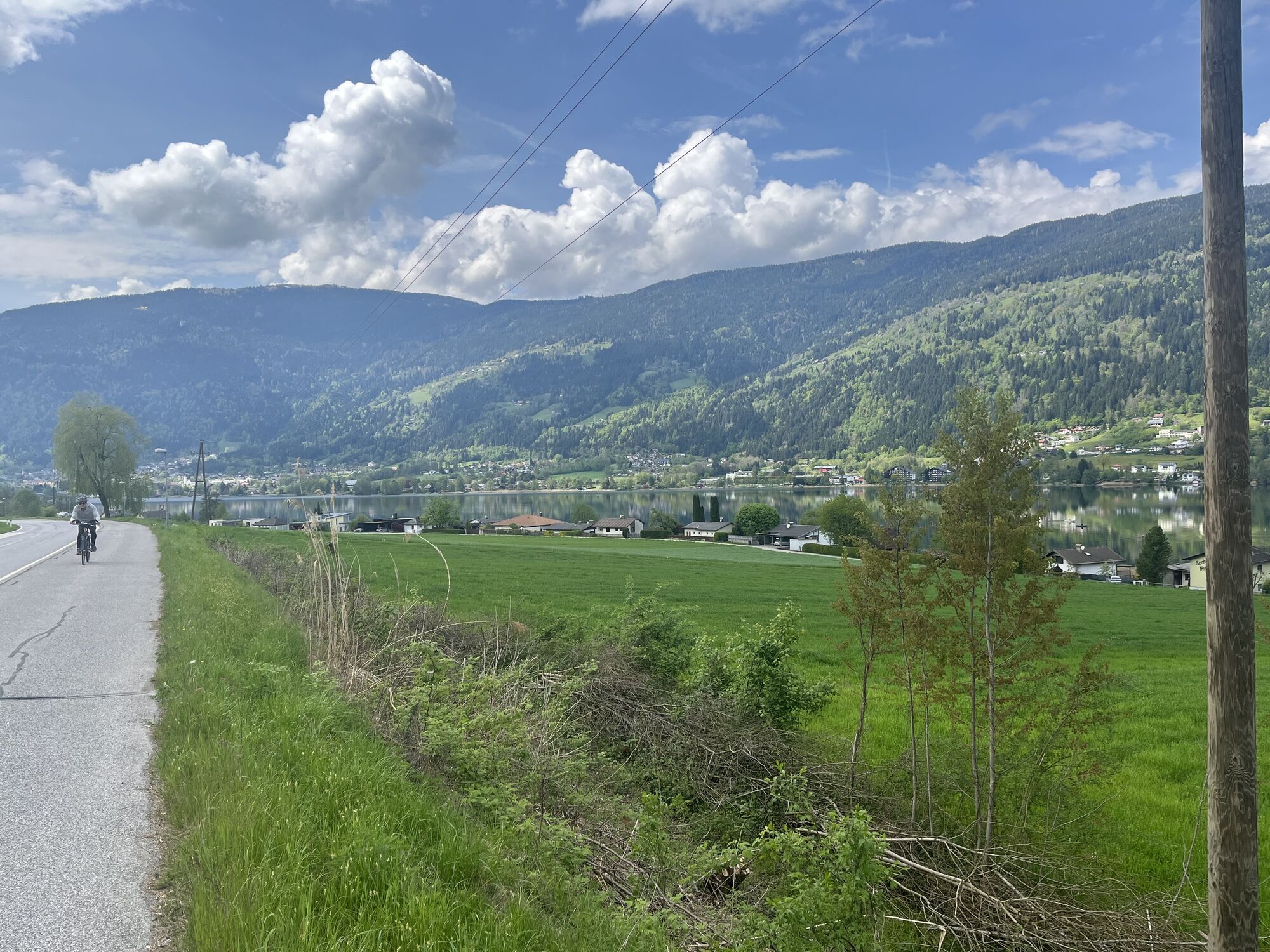


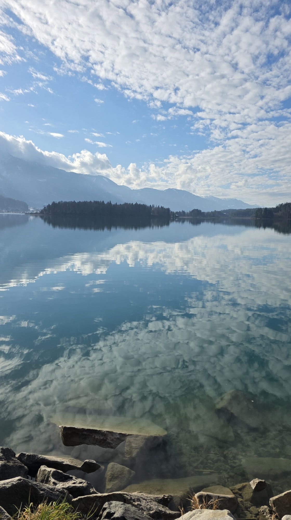

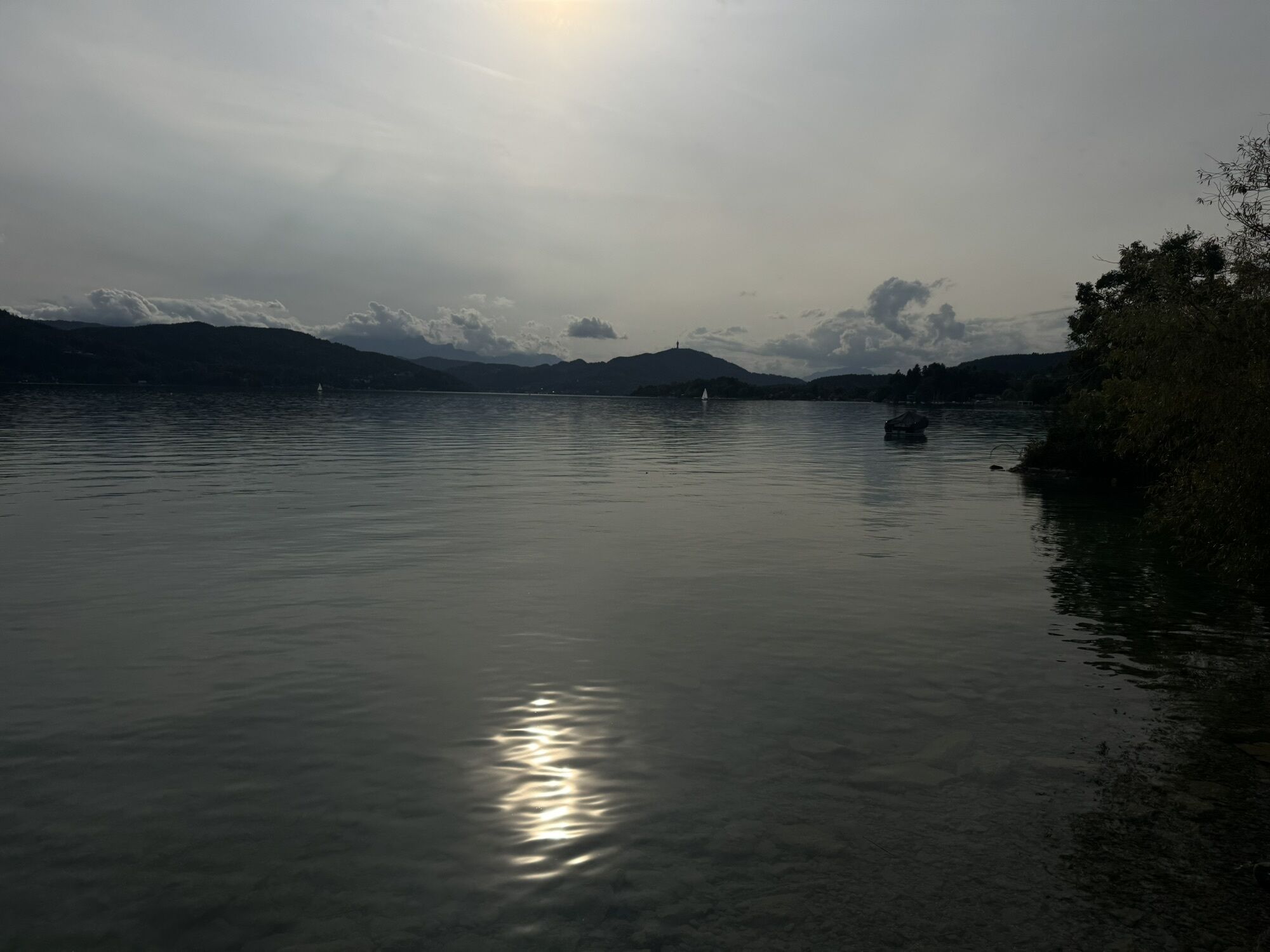


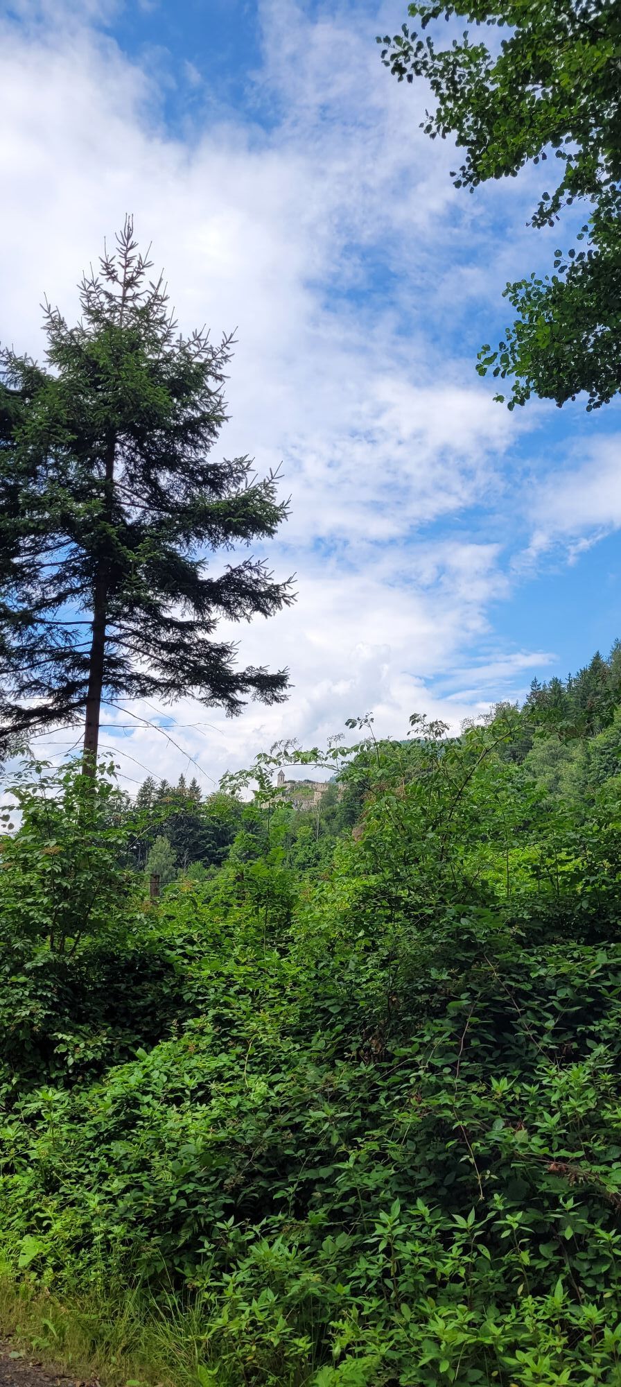

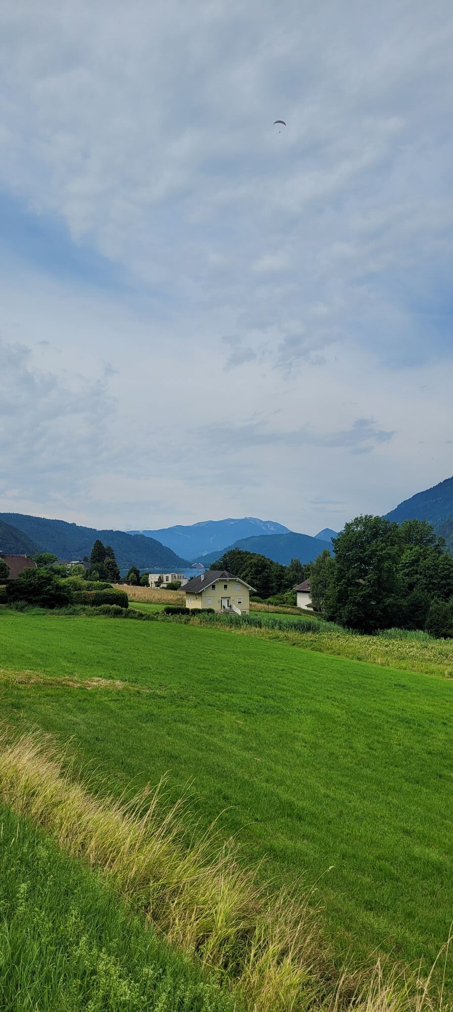
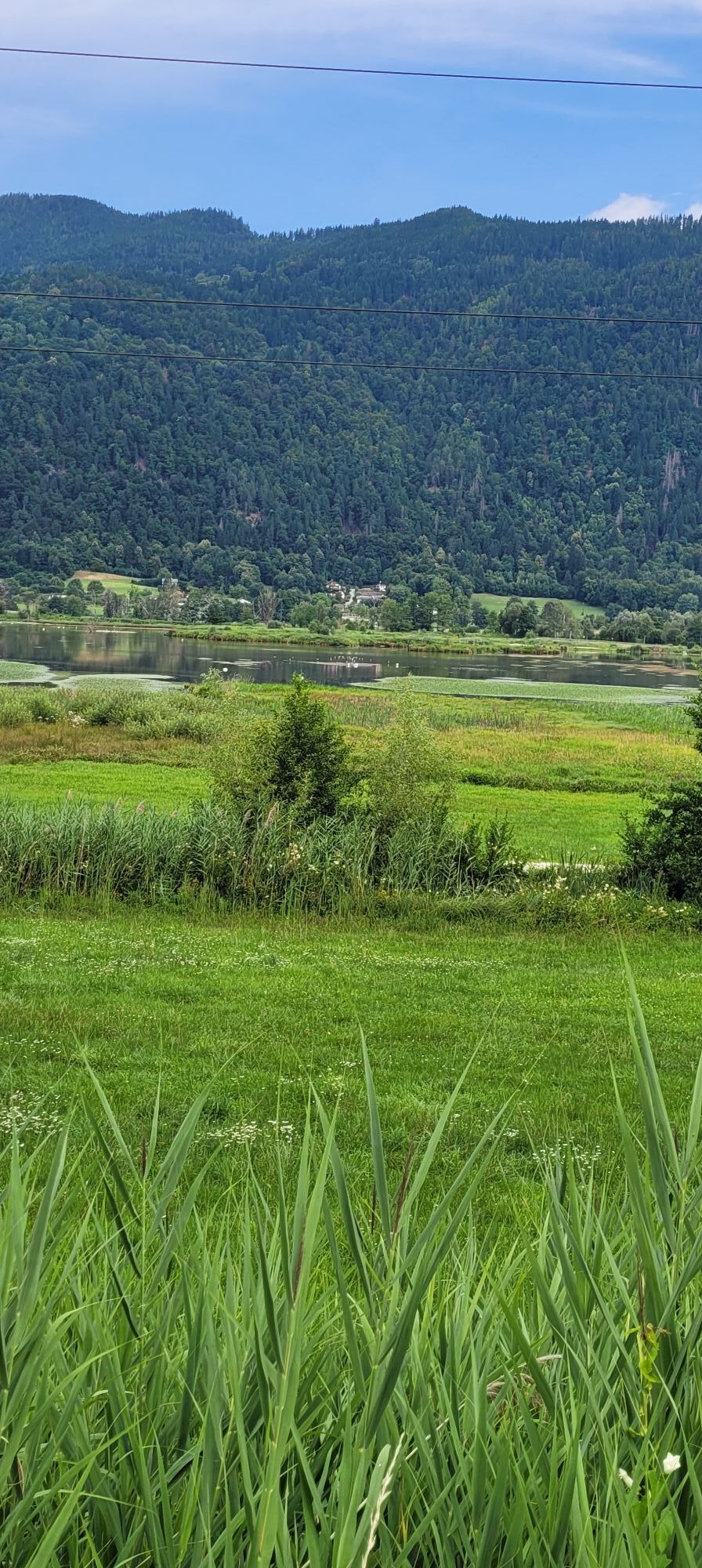
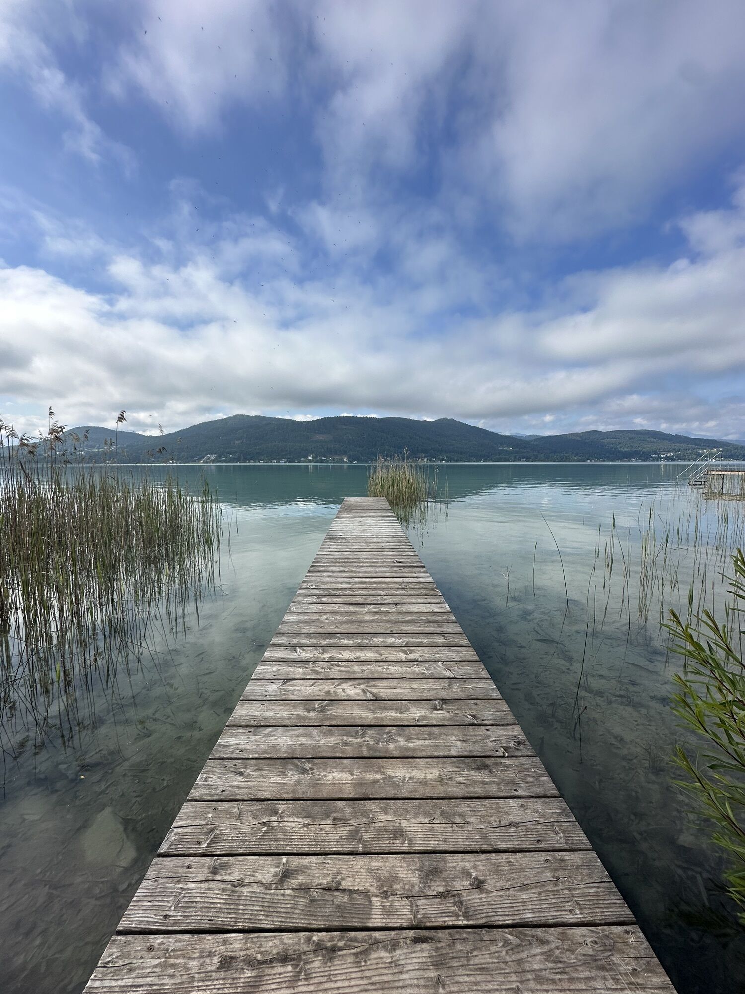


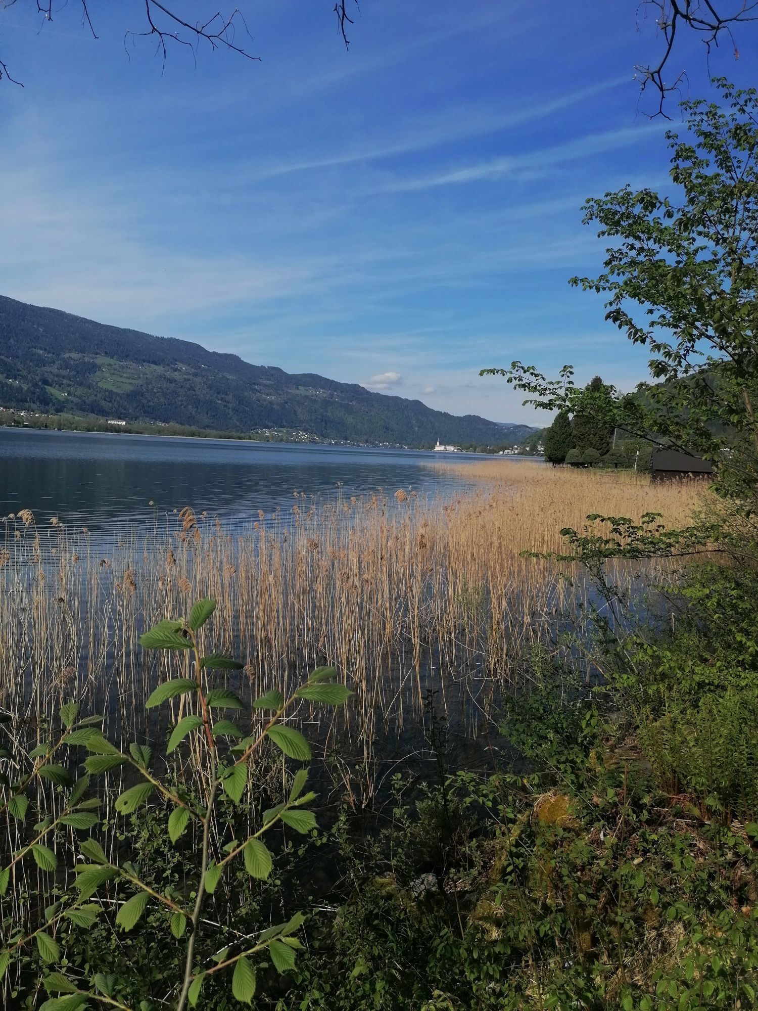

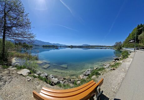
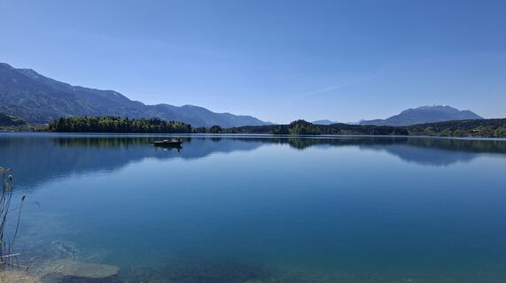
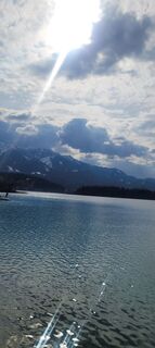
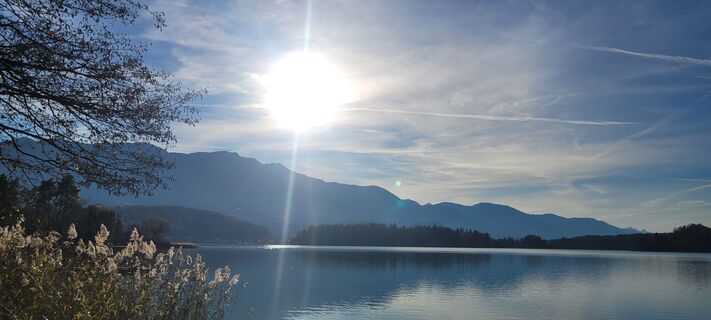
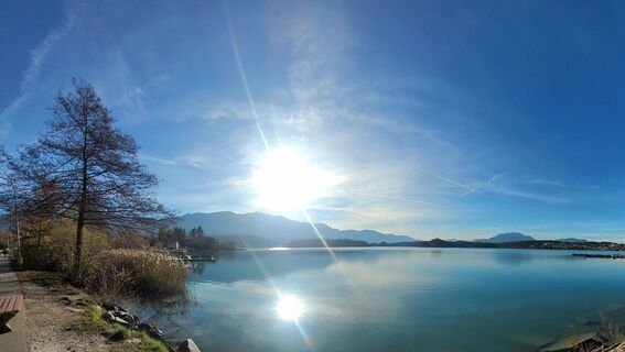
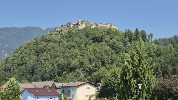
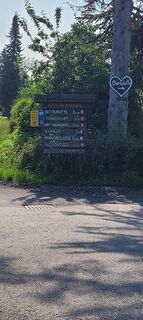
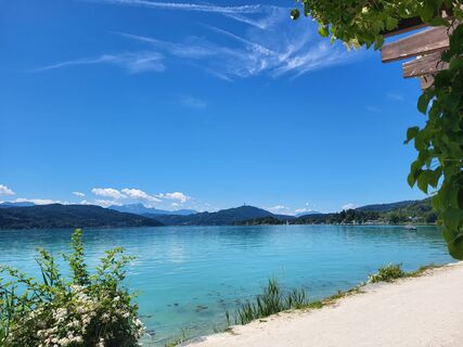
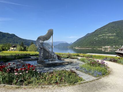
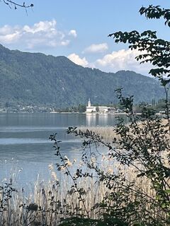
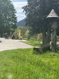
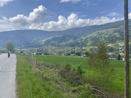
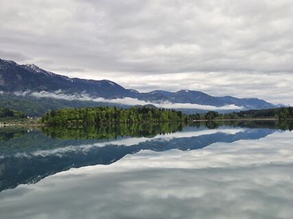
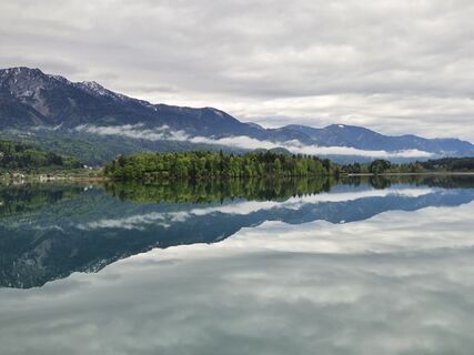
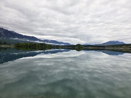
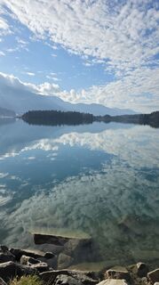
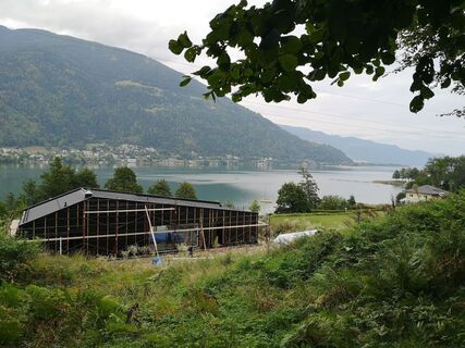
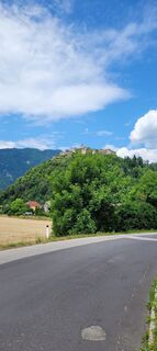
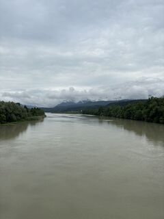
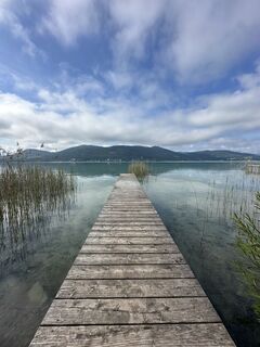
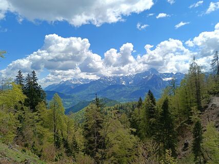
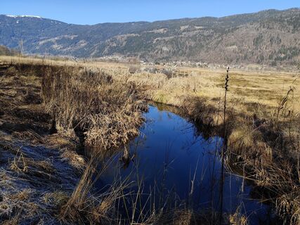
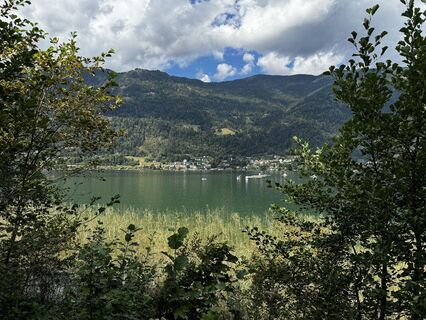
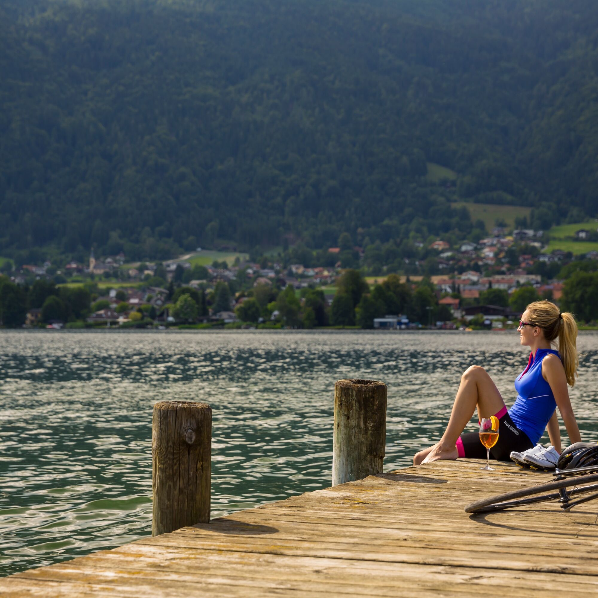
This dreamlike road cycling route begins in charming Ossiach on the shore of the sparkling Ossiacher See and takes you through the gentle hills of the Carinthian region towards Moosburg. The route winds...
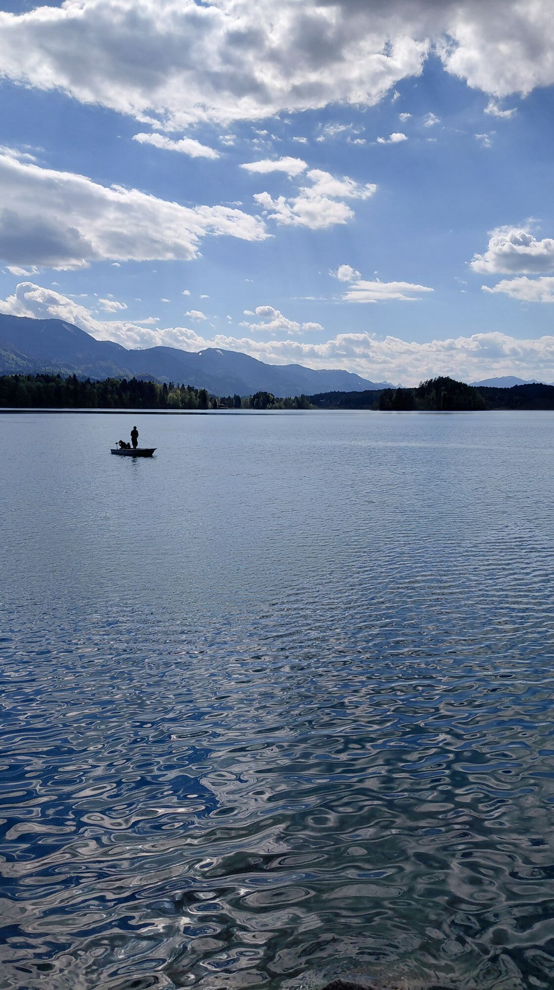
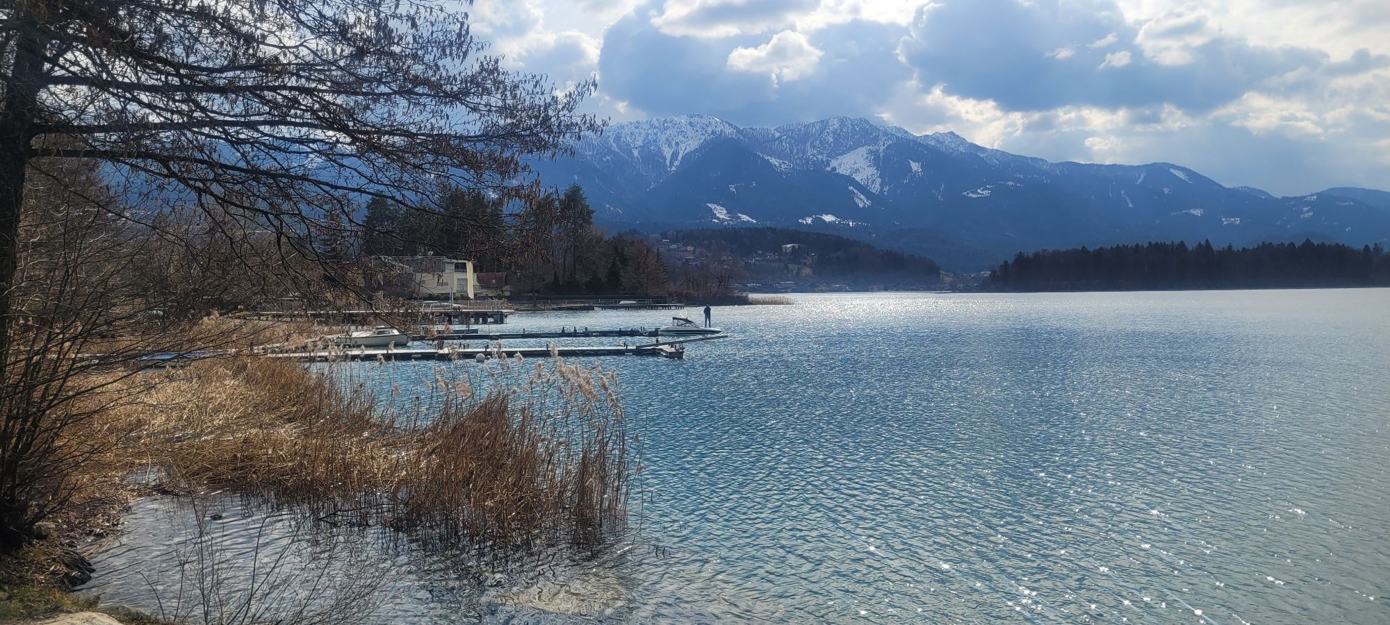
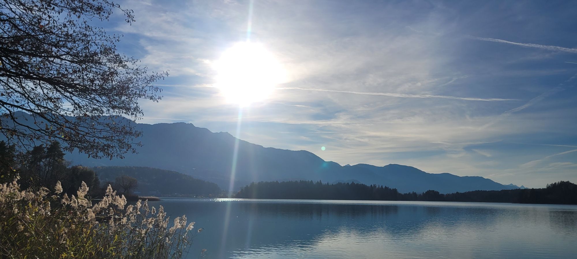
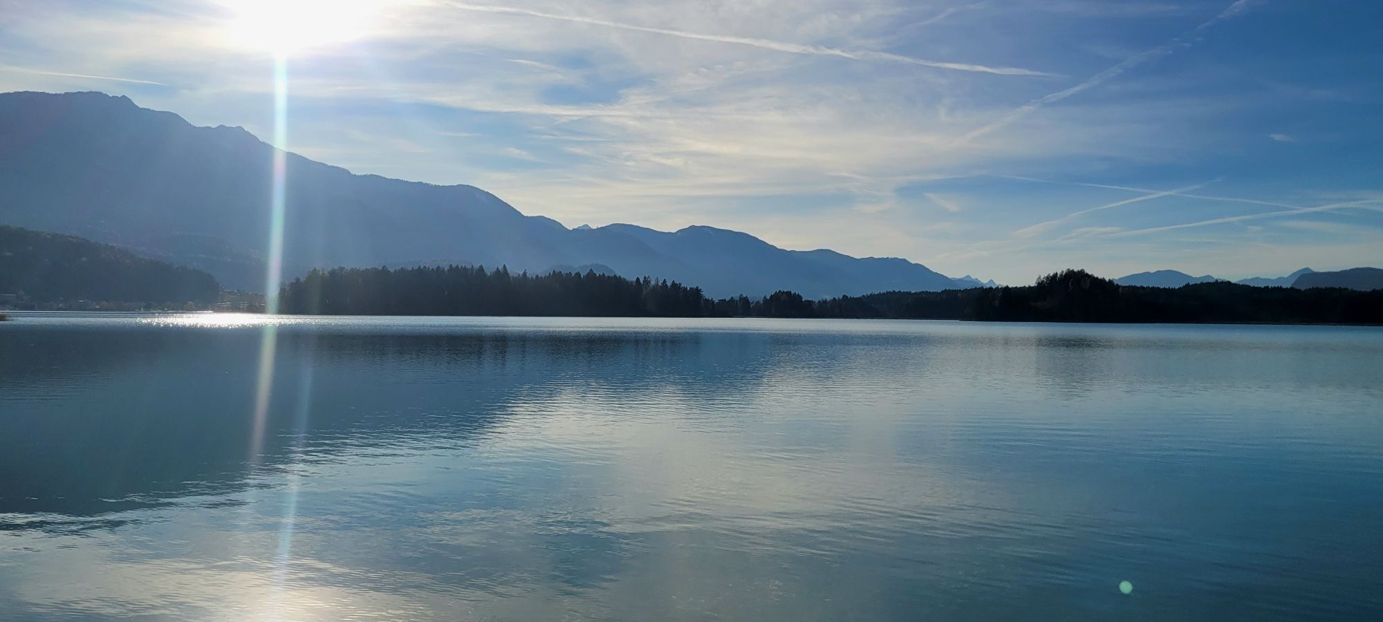
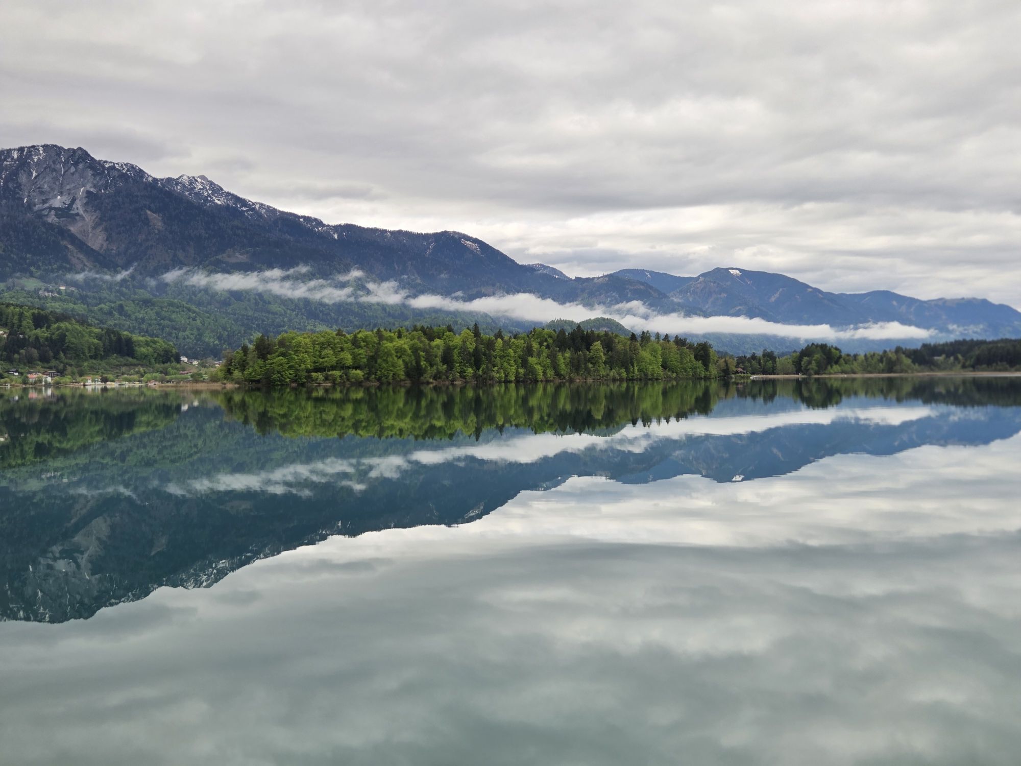
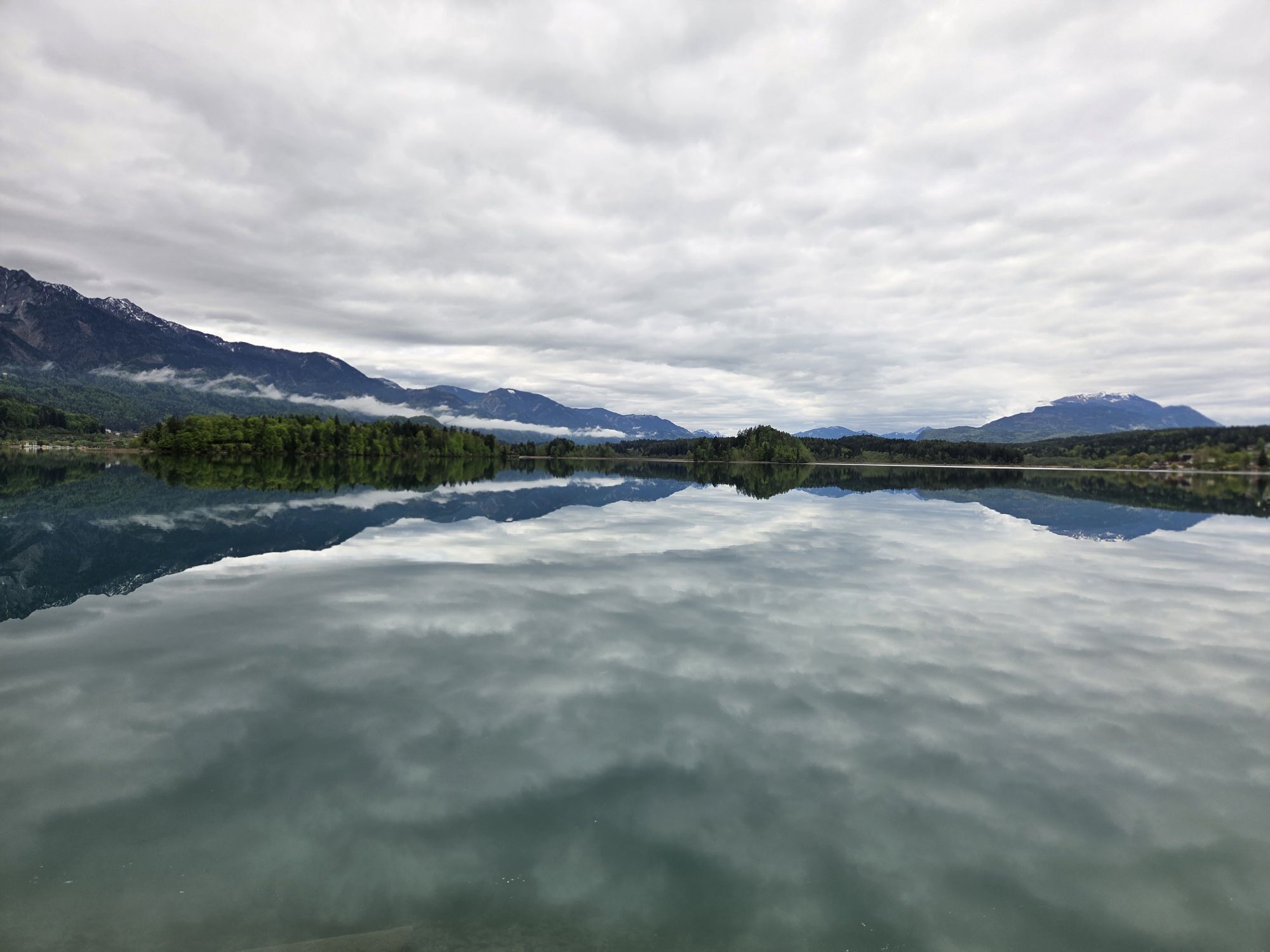
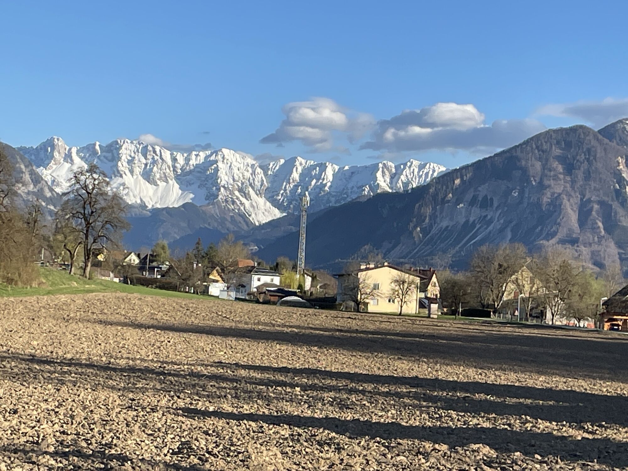
This dreamlike road cycling route begins in charming Ossiach on the shore of the sparkling Ossiacher See and takes you through the gentle hills of the Carinthian region towards Moosburg. The route winds through picturesque villages before you reach the Wörthersee on the edge of the vibrant city of Klagenfurt. It continues into the enchanting Rosental, framed by the majestic Karawanken and extensive fields, offering a backdrop that makes every nature lover’s heart beat faster. From there, you ride to the idyllic Faaker See, whose turquoise waters and picturesque surroundings invite you to linger. The return ride takes you over quiet country roads back to the Ossiacher See, where you can end the route in a relaxed way. This route combines the sporting challenge with an unforgettable nature experience and is an absolute must for every road cycling enthusiast wishing to discover the beauty of Carinthia.

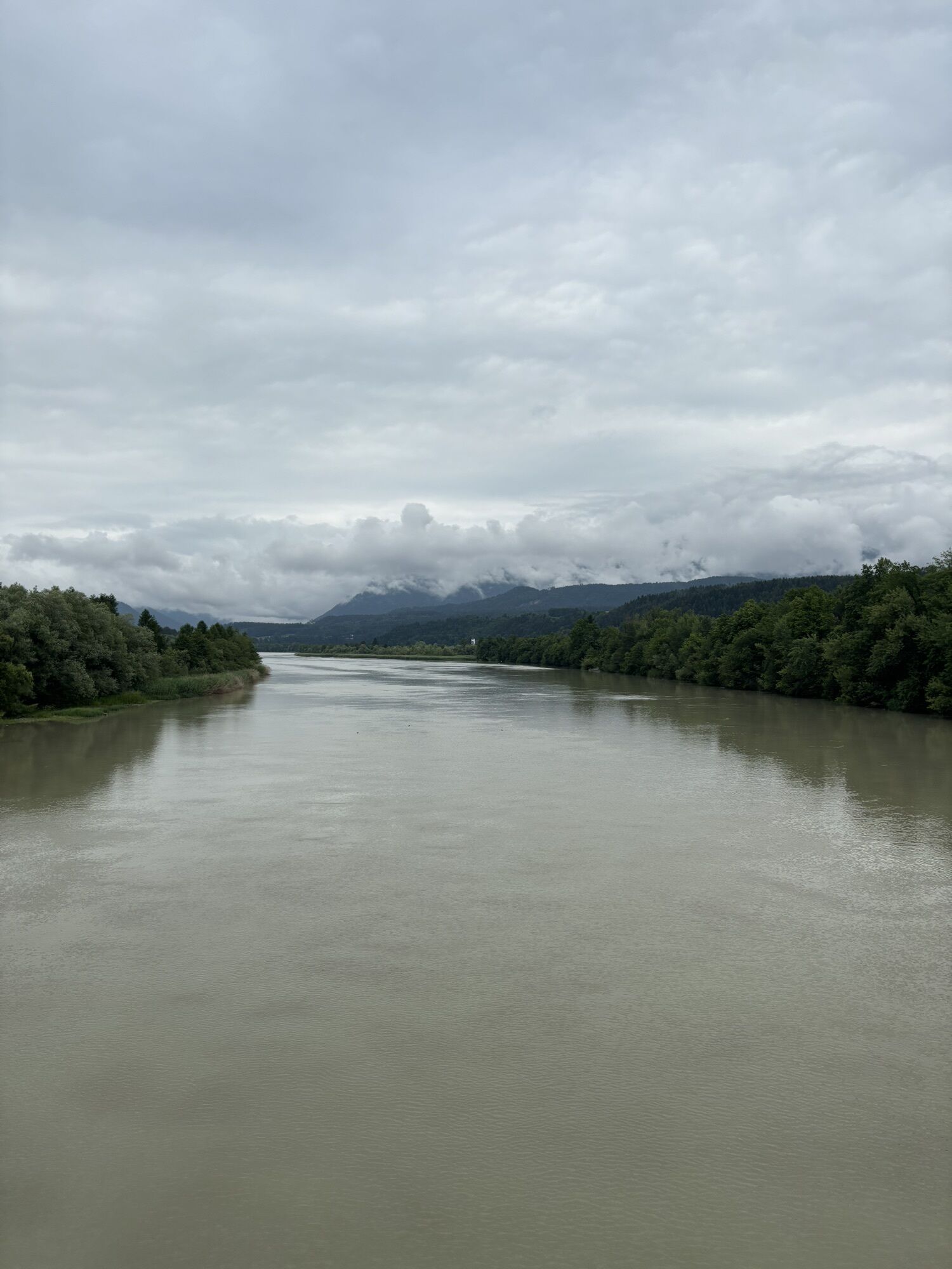
Starting from Ossiach, the route heads east along the bike path or the little trafficked south shore road of Ossiacher See to Klachl, where you must turn right until you reach a main road in Oberglan via a side street. Here, turn right again and continue to the next main road, which you follow south to Moosburg to the roundabout. Take the second exit from the roundabout and then follow the road to the first entry to Wölfnitz. Here turn right and in Wölfnitz again right to the turnoff for the golf course. Turn right again and via the Hallegger ponds to the Wörthersee. At the north shore road, turn left and follow the road to Minimundus. Here, turn right toward the stadium. Shortly after, turn right toward Viktring. Immediately after, at a Billa supermarket, turn left. Arriving in Viktring, turn left, then at the roundabout take the first exit right. Continue through Viktring following side streets toward the federal road. Briefly join the federal road near Spar towards Ferlach. Then switch to a side street and follow it to Maria Rain. Here switch to the main road and follow it past the Drau river. At the roundabout after the Drau, take the first exit right and for a longer distance follow the road to Ledenitzen. At the Hotel Mittagskogel, turn right and follow the road to the next turnoff at Faaker See. Here turn right and follow the road to Egg. After the Billa in Egg, turn right and descend to St. Niklas. At the roundabout take the first exit right, then immediately left toward Föderlach. Follow the road toward Wernberg. At the junction with the main road, turn left toward Wernberg and Villach. In Wernberg, shortly after the gas station, turn right briefly and at the Fruhmann inn turn right. Follow the side street to Zauchen. Here turn right to Landskron and at the traffic light turn right into the south shore road and follow the road or bike path back to Ossiach.
Suitable road bike, tools and safety equipment, helmet, sufficient fluids.
From Villach via the L49 to Ossiach.
A variety of parking spaces are available in Ossiach. These are chargeable during the summer months.
3
Kamery internetowe z trasy
-
Gerlitzen Gipfel
-
Gerlitzen Gipfel
-
Gerlitzen Gipfel
-
Gerlitzen Gipfel
-
Parkhotel Pörtschach
-
Hotel Schloss Seefels
-
Burgruine Finkenstein
-
Faaker See
-
Faaker See
-
Faaker See
-
Faaker See
-
Faaker See
-
Faaker See
-
Klagenfurt am Wörthersee / Neuer Platz
-
Ossiach/Ossiachersee
-
Ossiach/Ossiachersee
-
Ossiach/Ossiachersee
-
Ossiach/Ossiachersee
-
Ossiach/Ossiachersee
-
Ossiach/Ossiachersee
-
Annenheim/Ossiacher See
-
Landskron
-
Klagenfurt am Wörthersee
-
Villach - Friedensbrücke
-
Gerlitzen Gipfel
-
Strandbad Klagenfurt
-
Ludmannsdorf/Bilcovs - Gasthof Ogris
-
Schloss Loretto
-
Flugfeld Feldkirchen
-
Klagenfurt am Wörthersee - Domplatz
-
Villach
-
Köttmannsdorf - Plöschenberg
-
Burgruine Finkenstein
-
Jilly Beach
-
Hotel SeeRose
-
Golf Velden am Wörthersee
-
Ferlach
-
Pörtschach Süd
Popularne wycieczki w okolicy
-
5,0
Wörthersee EXTREM
ciężkiWędrówka 60,1 km -
4,5
Pyramidenkogel path Maria Wörth
średniWędrówka 10,8 km -
4,2
Cycling around Lake Wörthersee – leisurely cycling between turquoise blue water and fantastic views
średniJazda na rowerze 48,2 km -
4,2
Slow Trail Bleistätter Moor (Variant A)
światłoWędrówka 7,22 km -
4,7
Zillhöhe
średniBieganie 7,94 km -
3,9
Lake Wörthersee Circular Route
średniJazda na rowerze 41,2 km -
3,8
Lake Ossiach cycle path - R2 and R2A
średniJazda na rowerze 28,2 km -
4,9
Gratschenitzen Kreuz
ciężkiWycieczka wysokogórska 3 km -
4,3
Lake circular trail
światłoNordic Walking 9,85 km -
4,6
Hoher Gallin route
średniWędrówka 7,09 km

Wędrówki i tropienie


Nie przegap ofert i inspiracji na następne wakacje
Twój adres e-mail została dodana do listy mailingowej.