


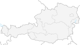


High hills tour Lake Ossiacher See – Central Carinthia


This road bike route takes you from Lake Ossiacher See through the hilly landscape of Central Carinthia. Start in Ossiach and enjoy the ride along the picturesque lake Ossiacher See before diving into...
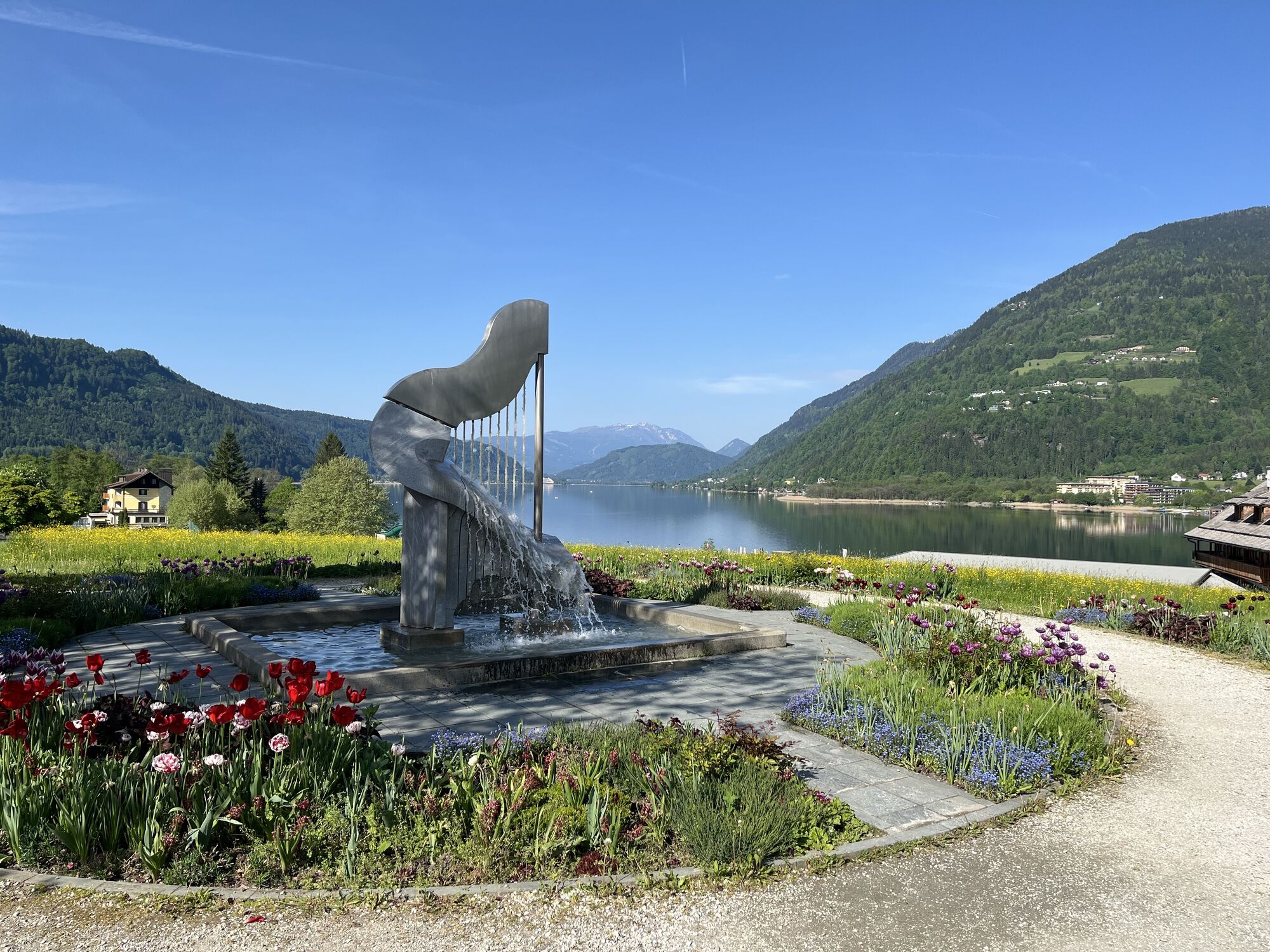
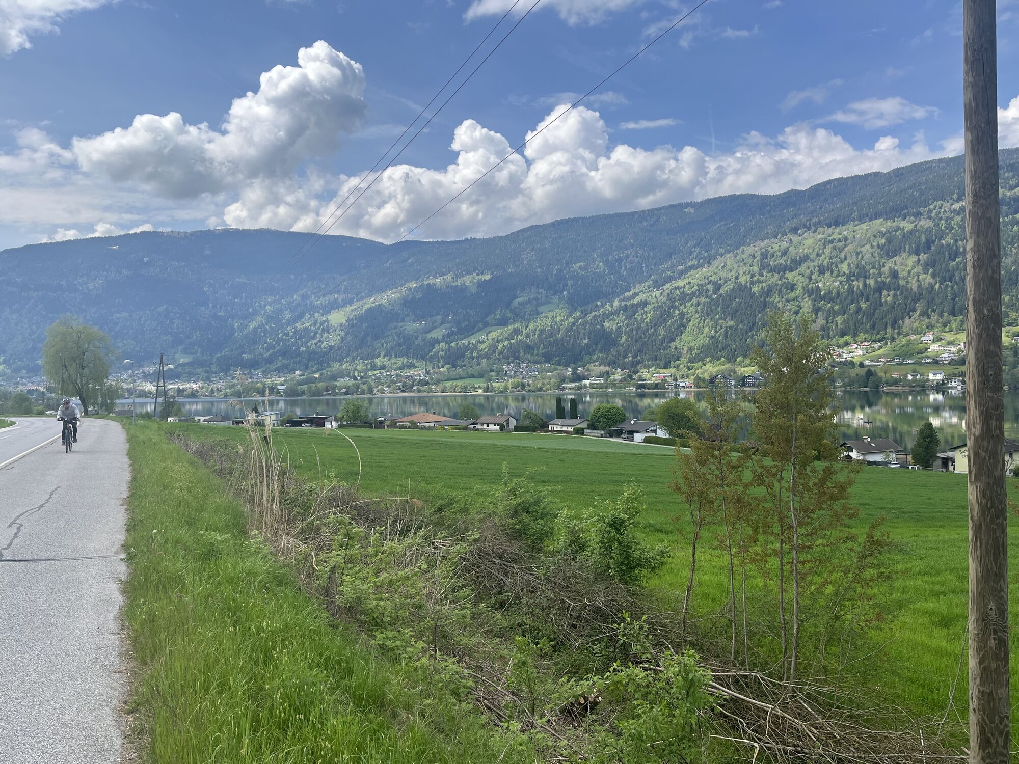
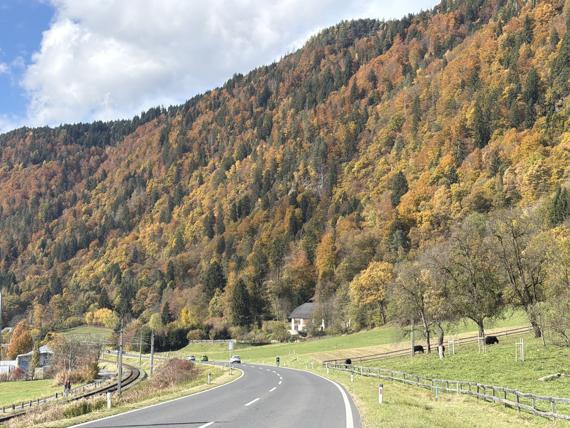
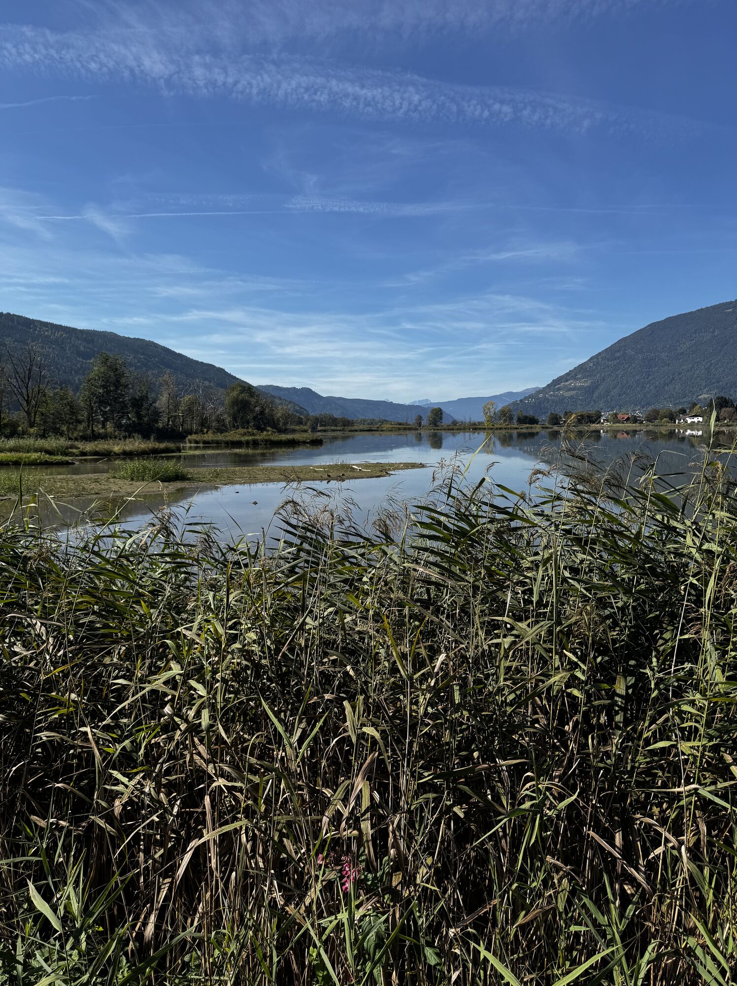
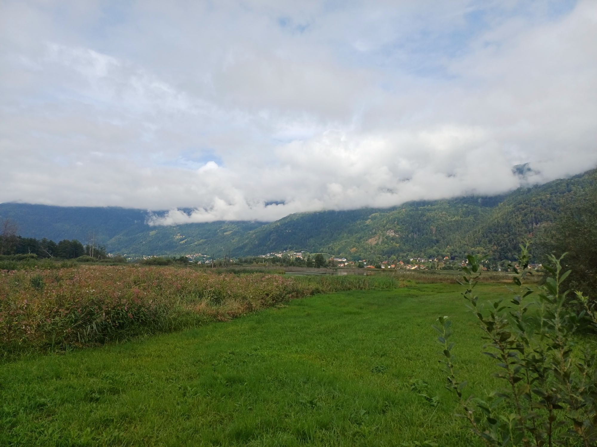
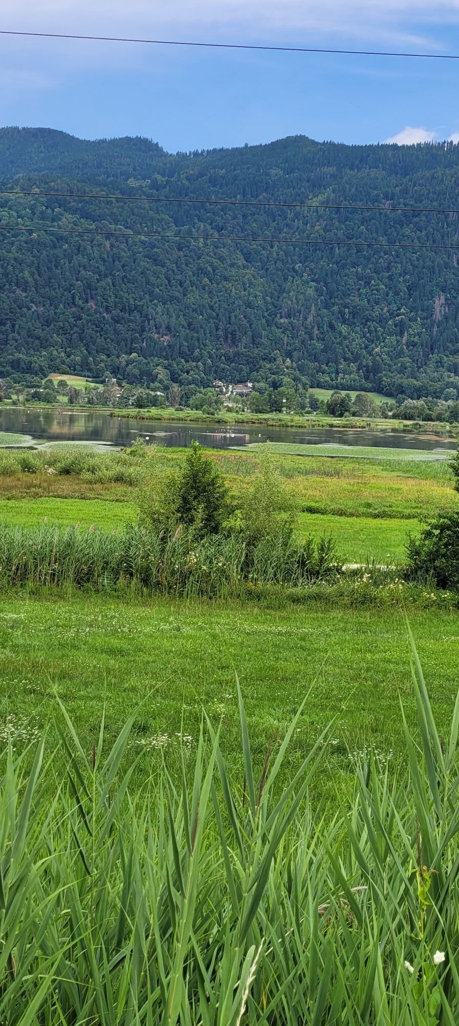
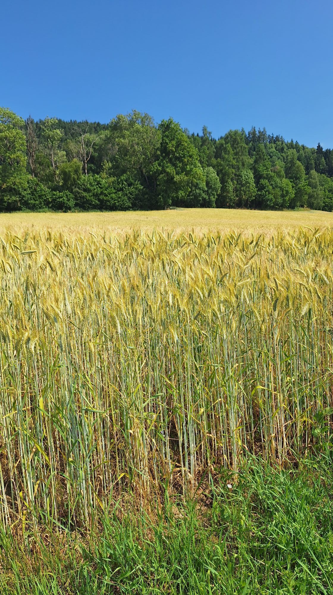
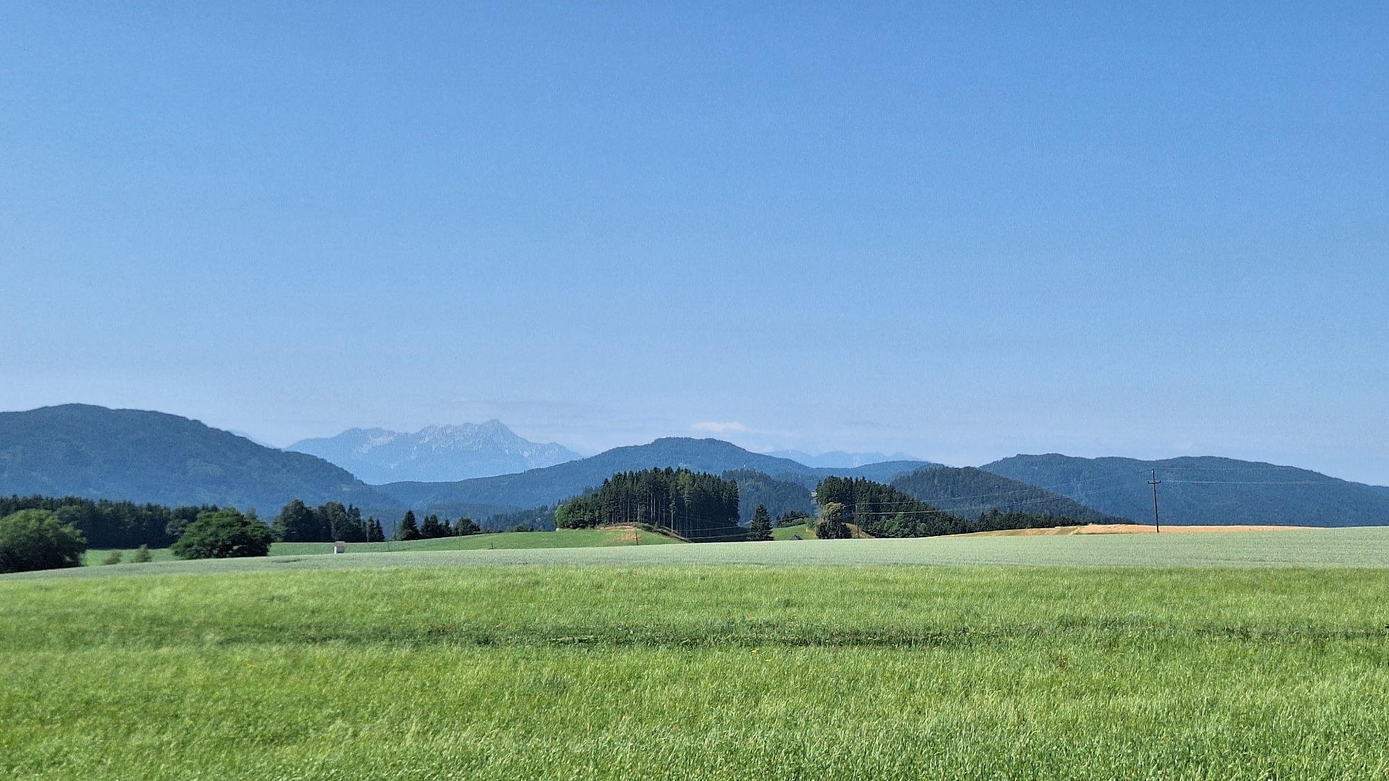
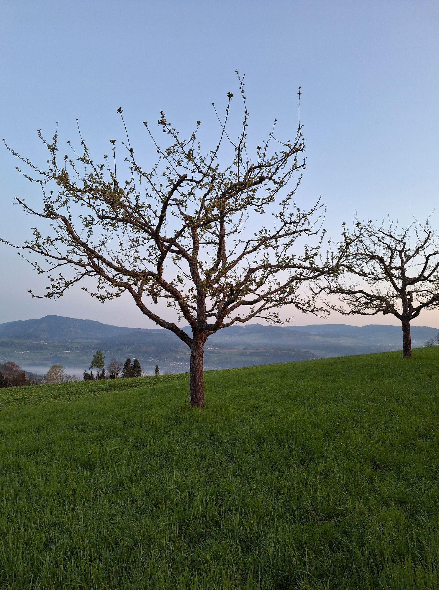
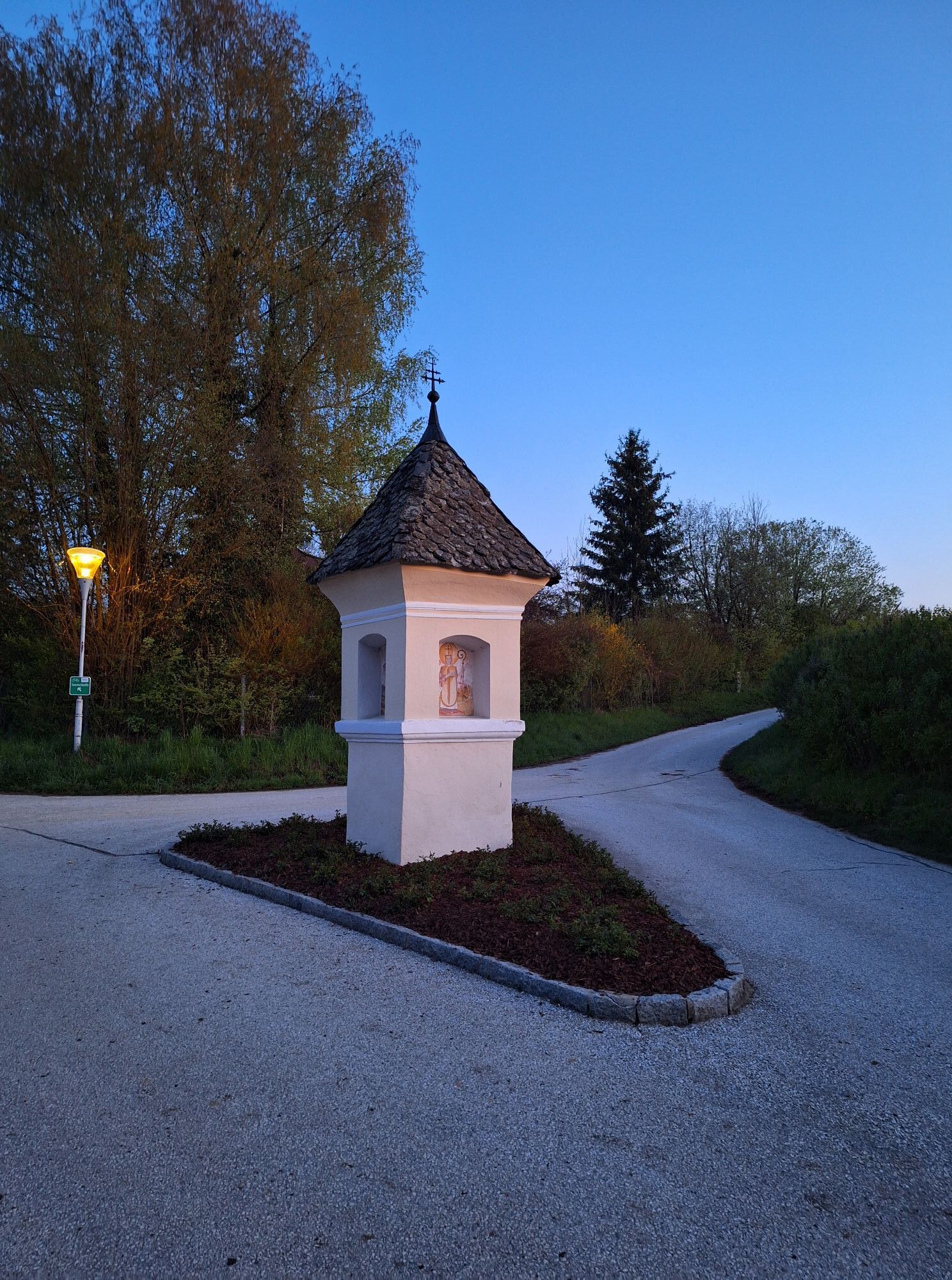
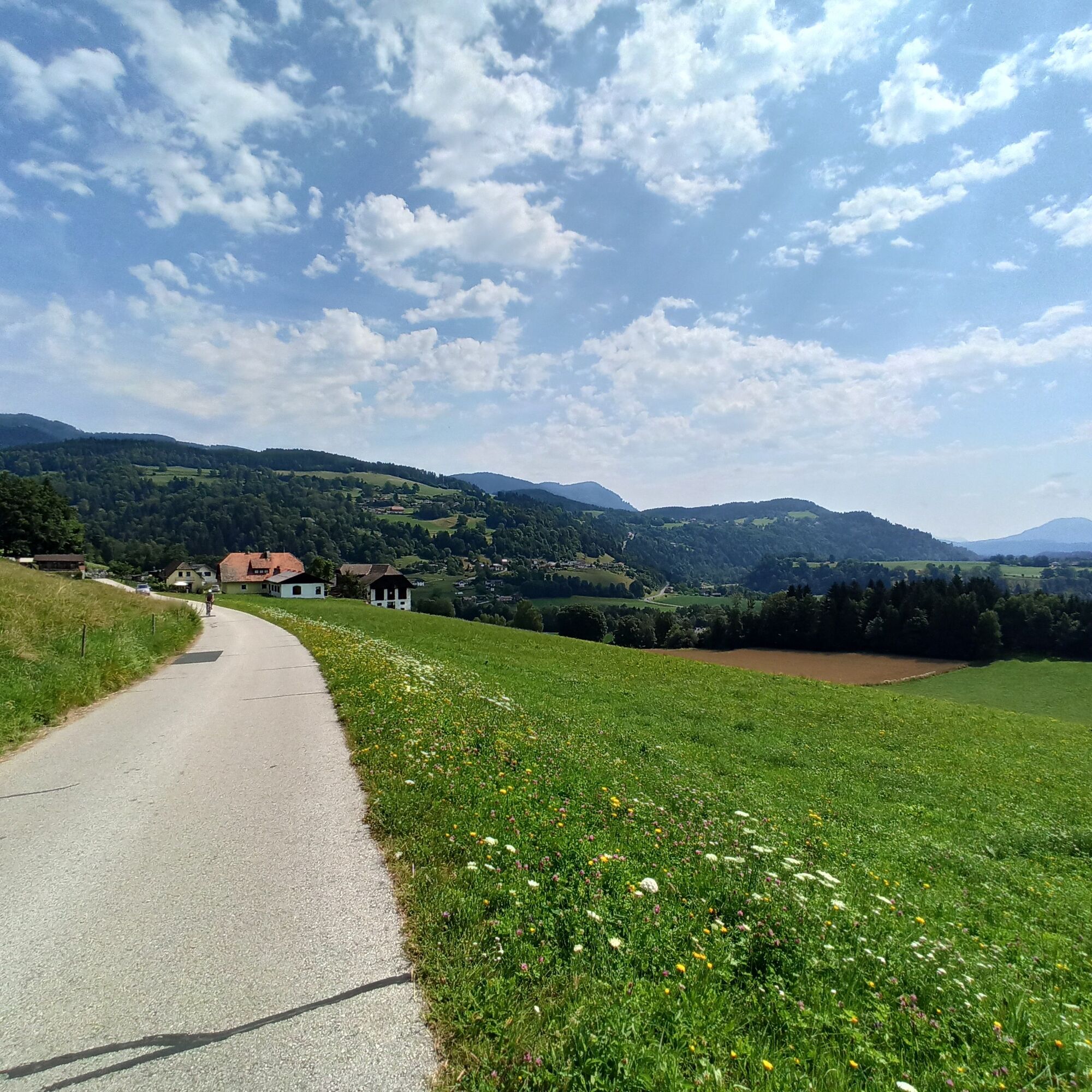
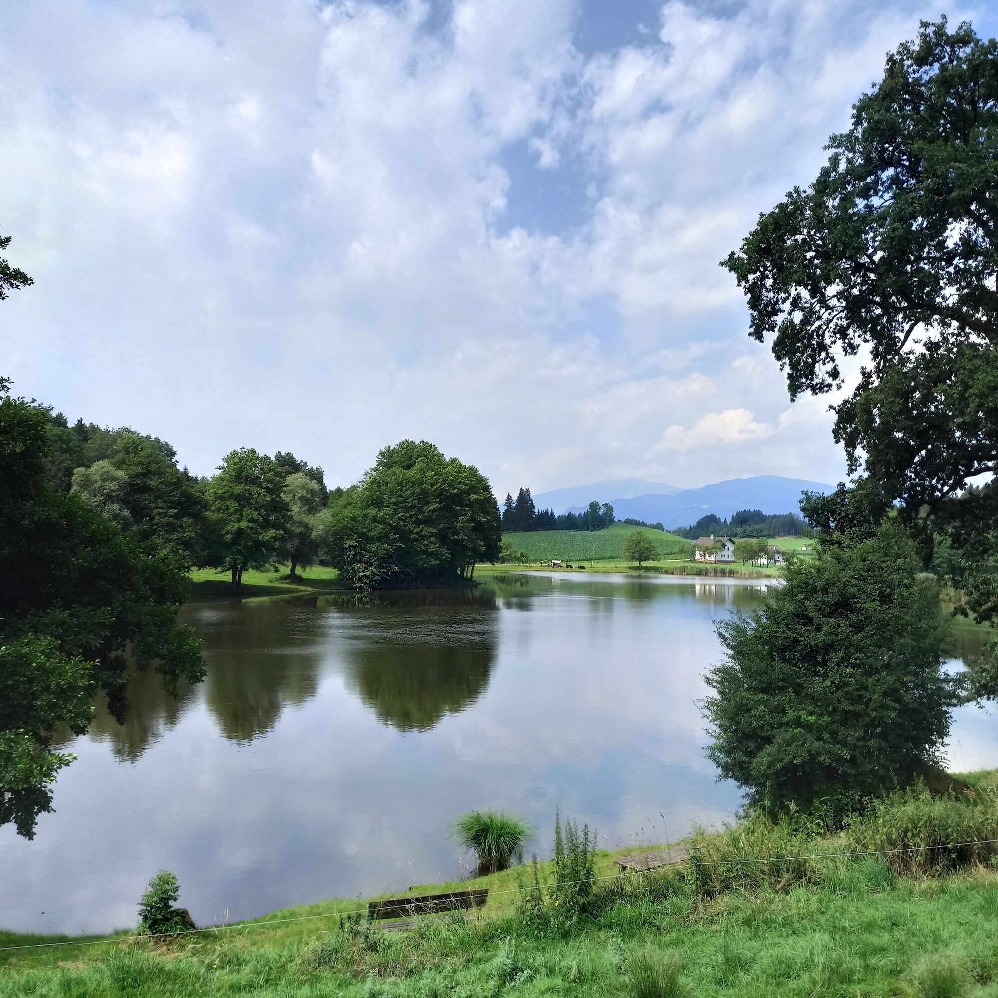
This road bike route takes you from Lake Ossiacher See through the hilly landscape of Central Carinthia. Start in Ossiach and enjoy the ride along the picturesque lake Ossiacher See before diving into the gentle hills and peaceful villages of Central Carinthia. The route offers a perfect mix of sporting challenge and scenic beauty, with idyllic views of green meadows, charming towns, and the surrounding mountain landscape. Along the way, you can take short breaks to fully enjoy the peaceful surroundings and nature. This route is ideal for anyone who wants to experience both the sporting challenge and the diverse scenery of Carinthia.

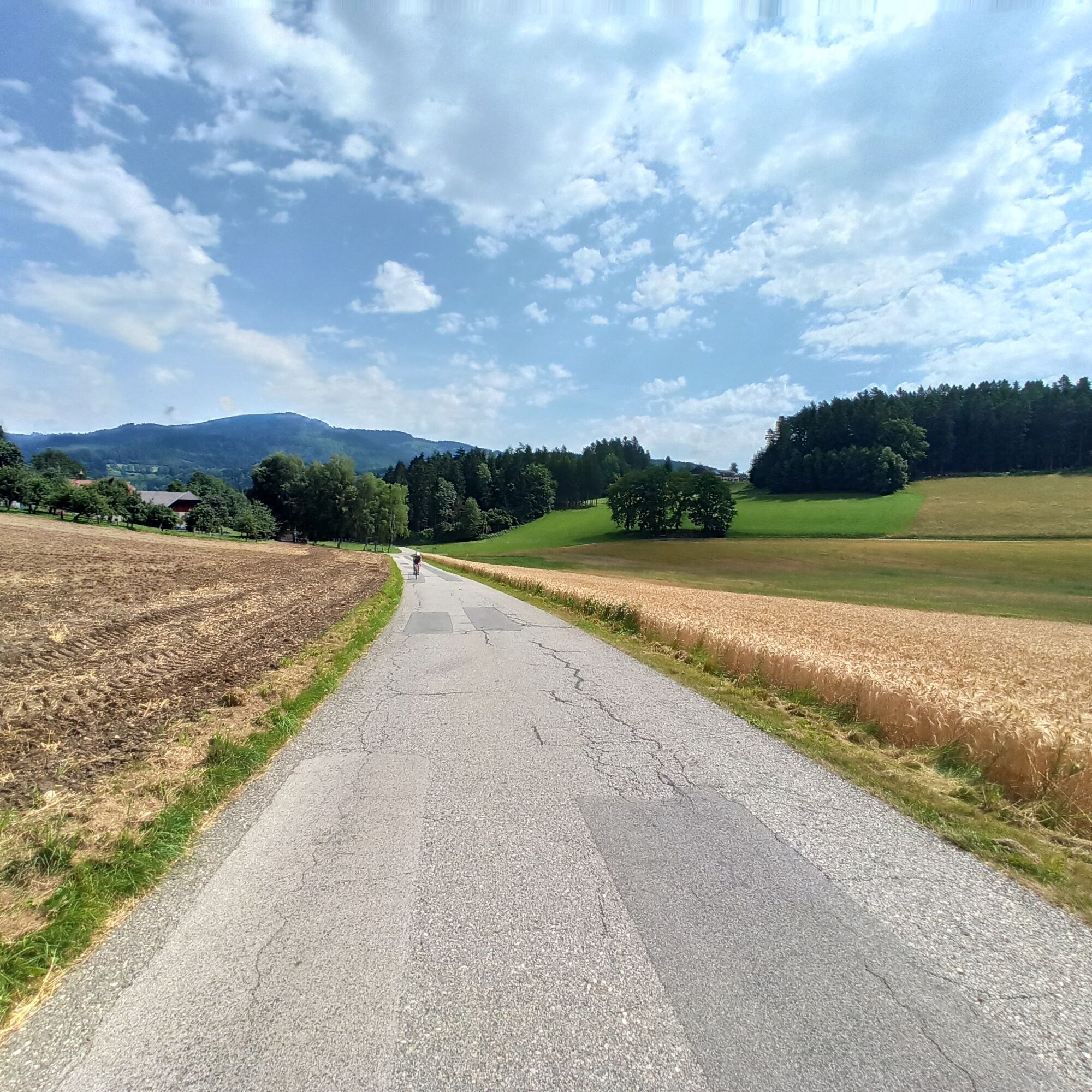
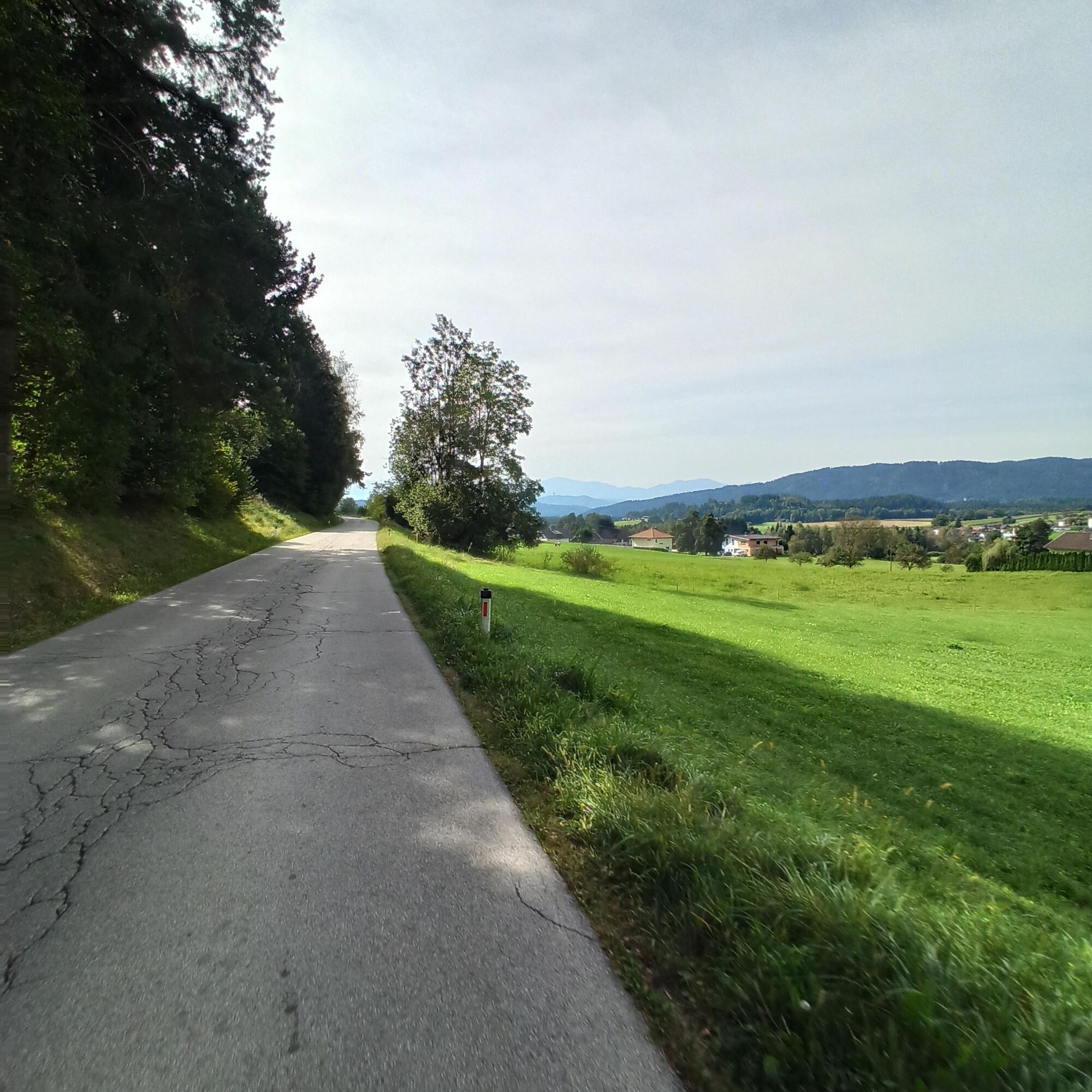
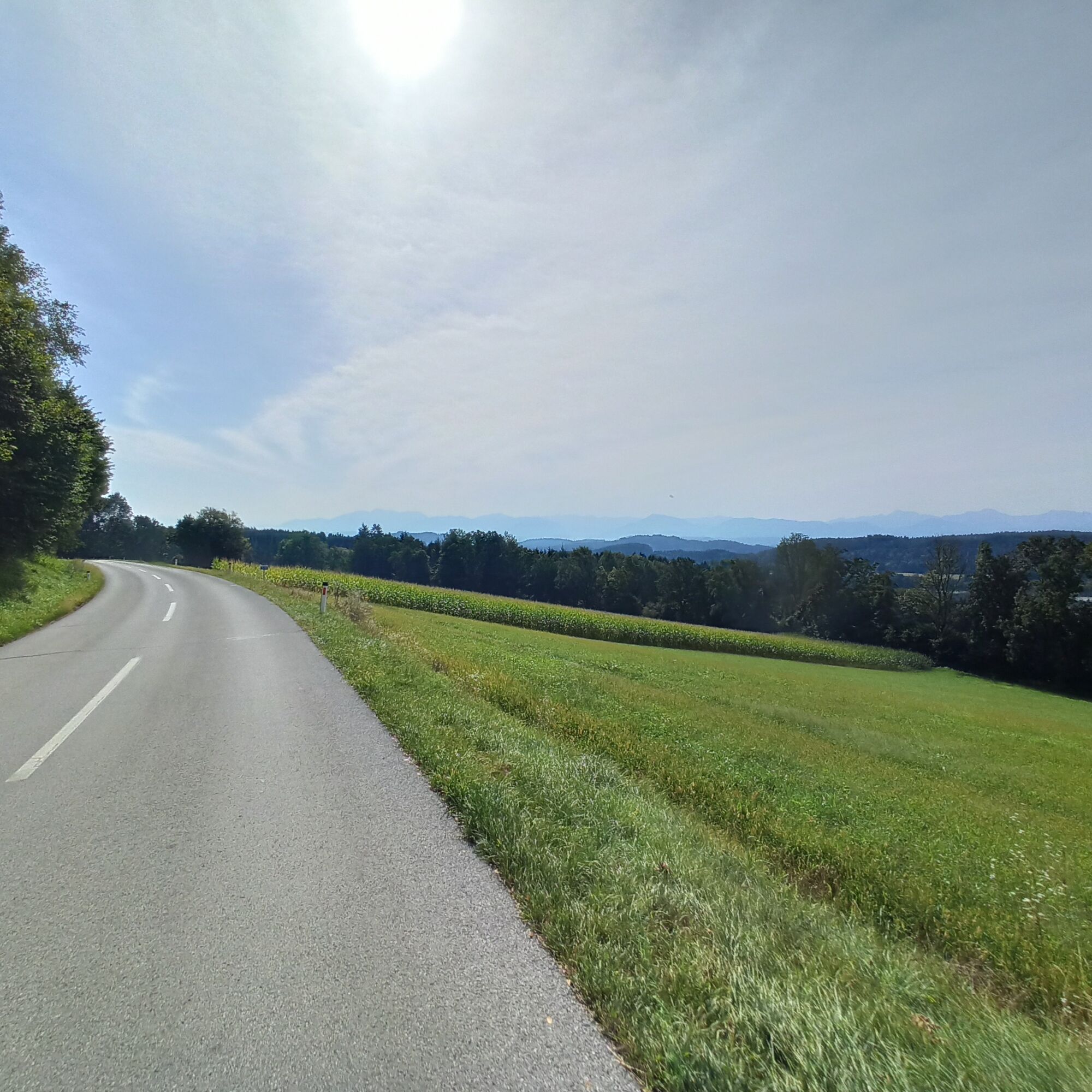
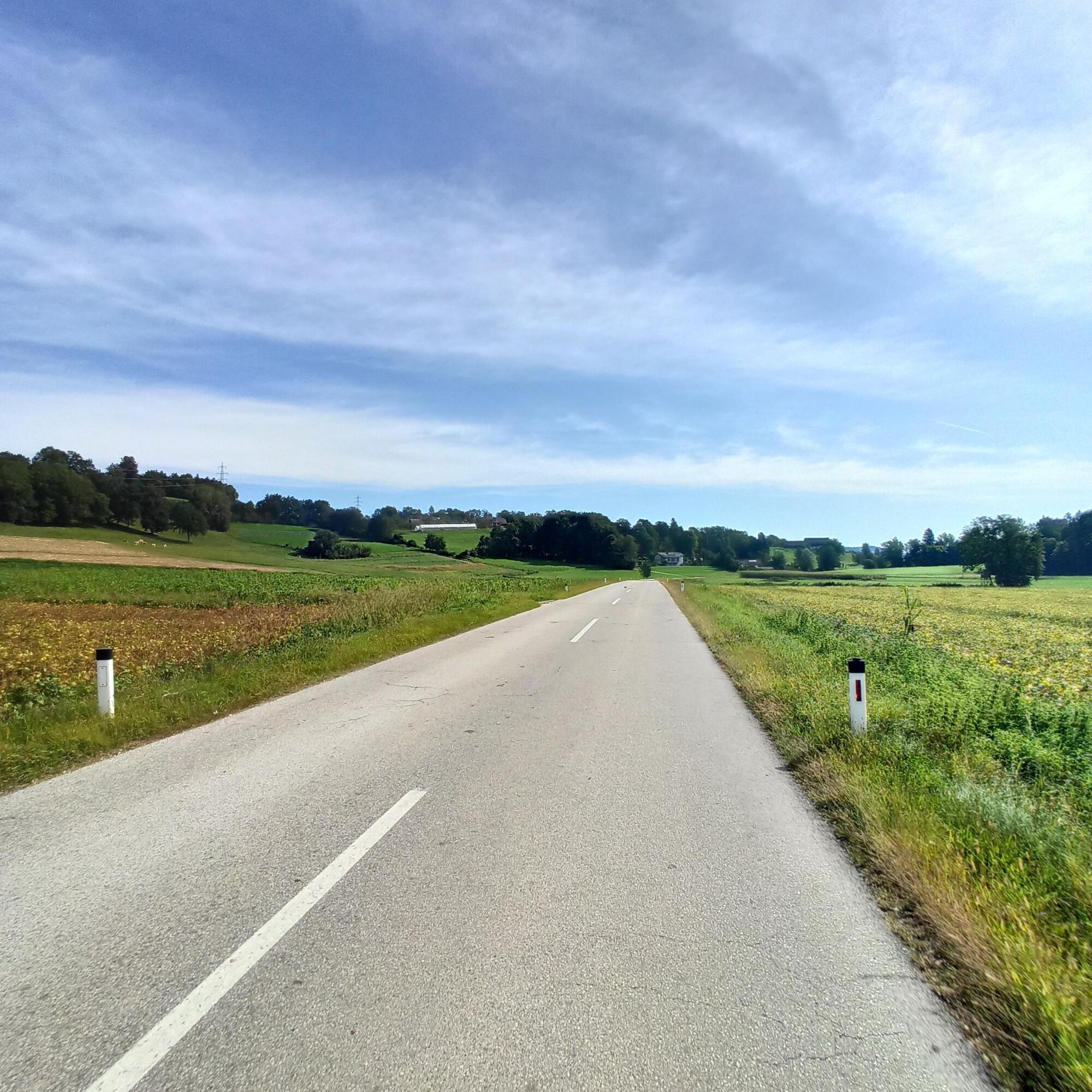
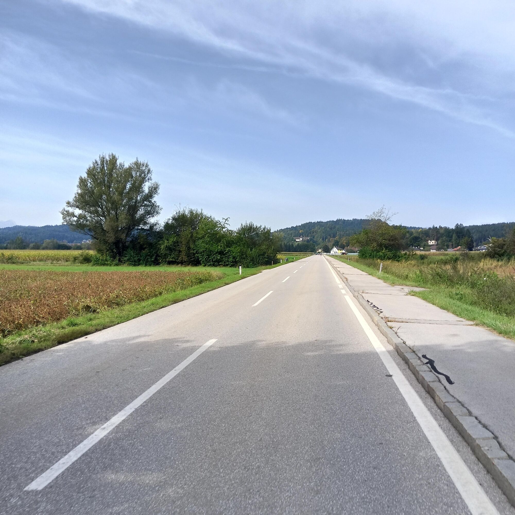
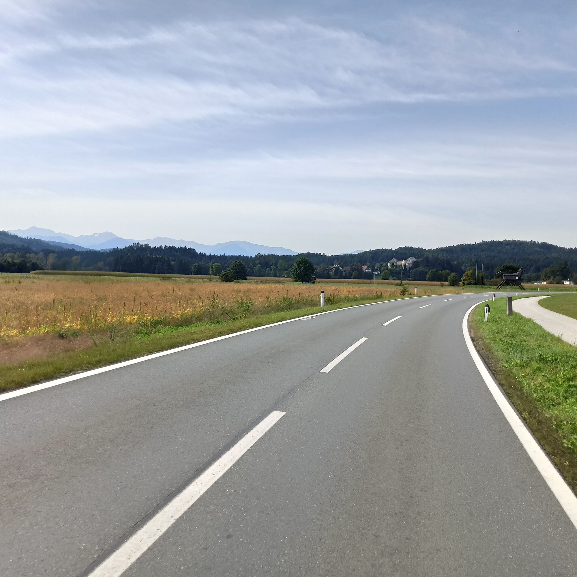
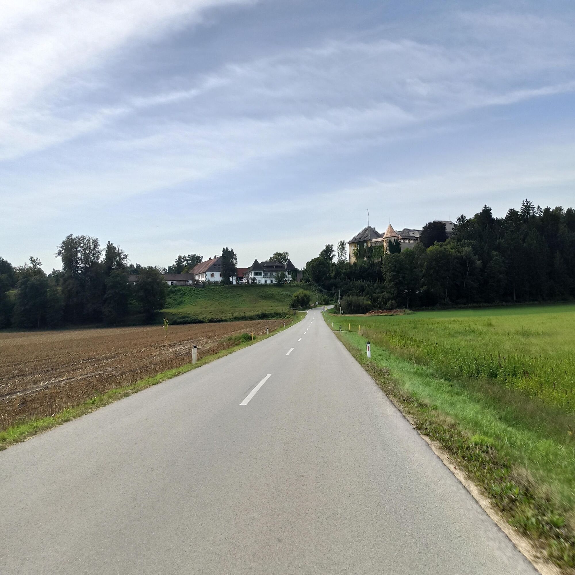
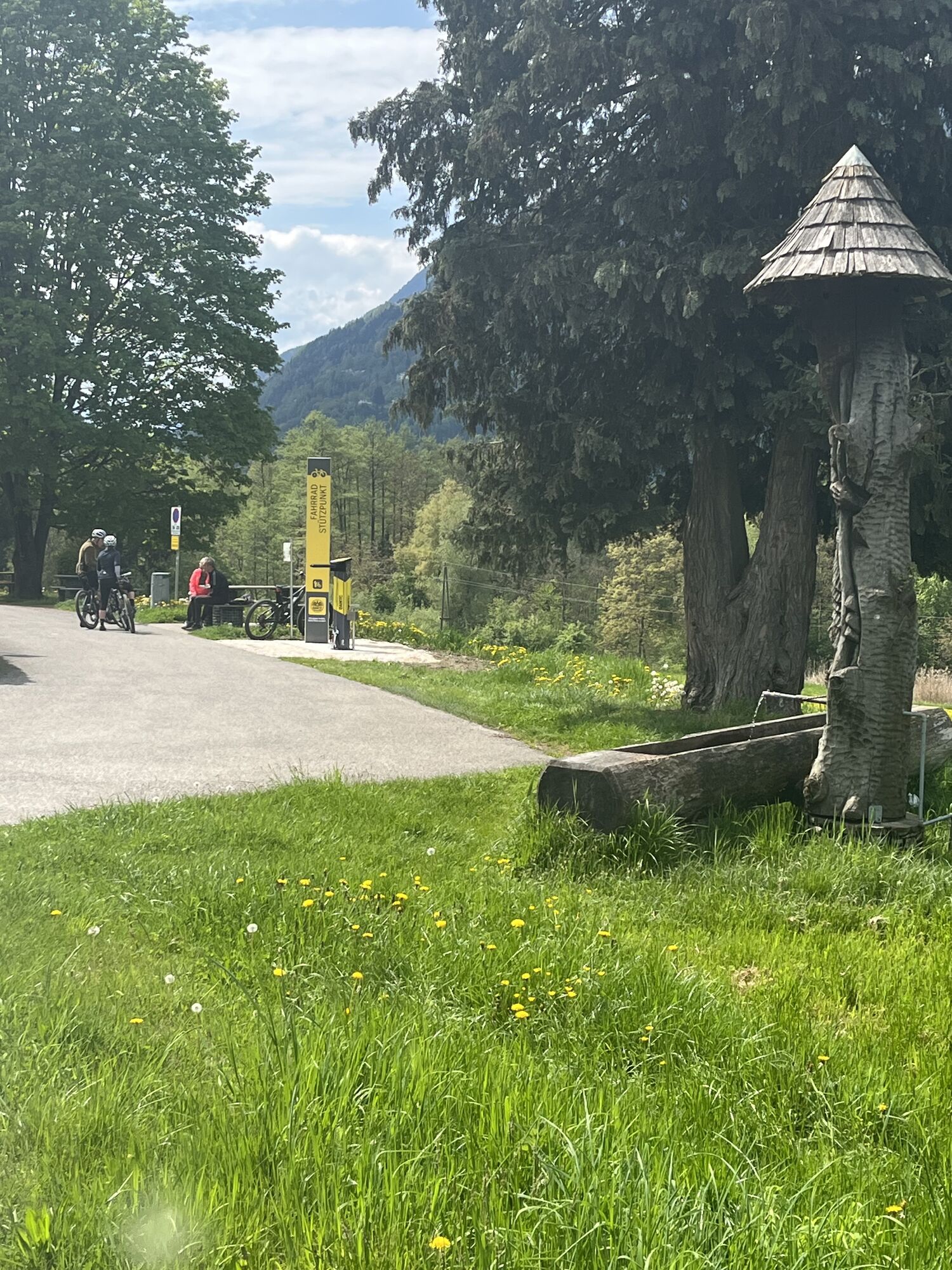
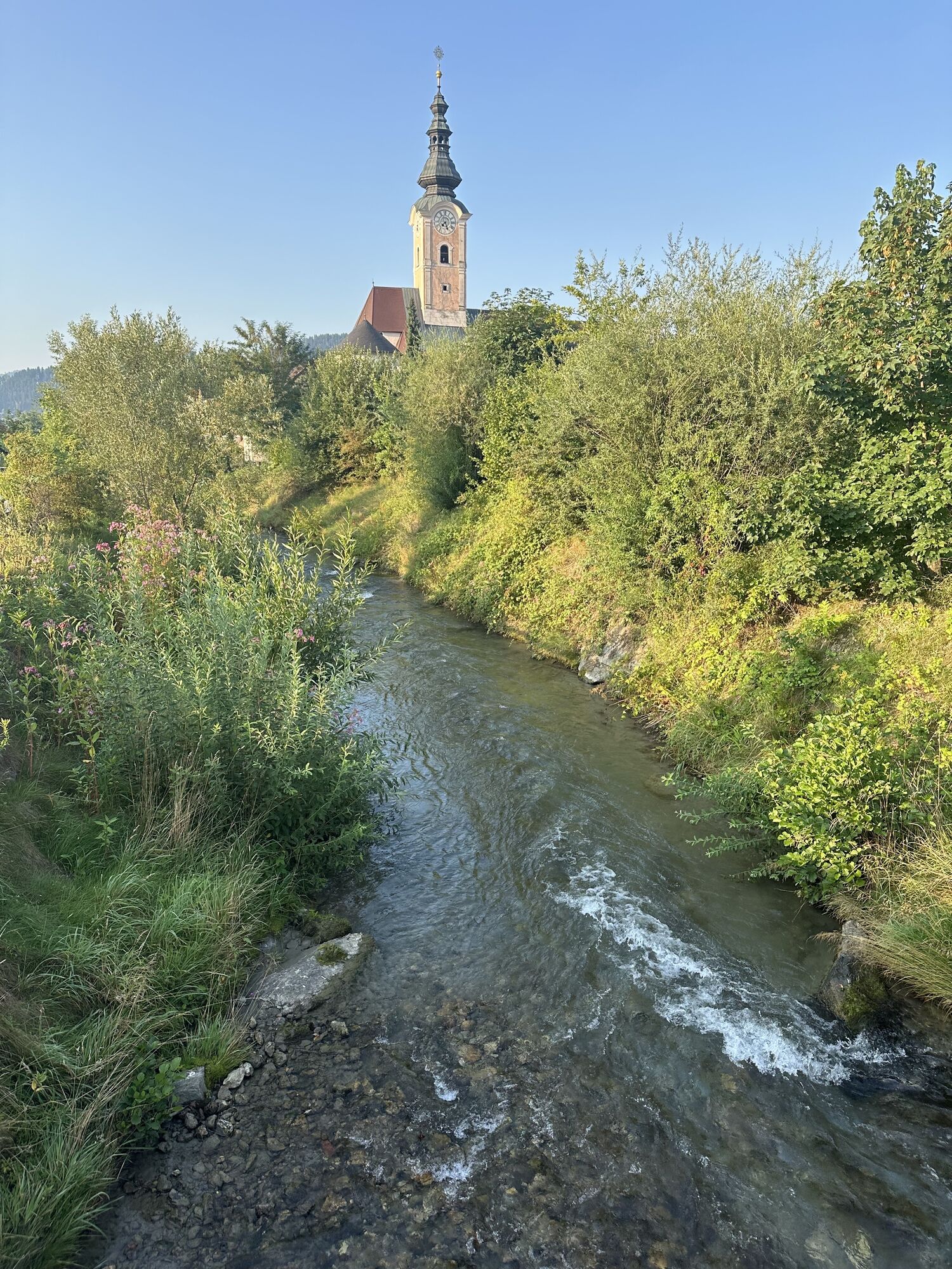
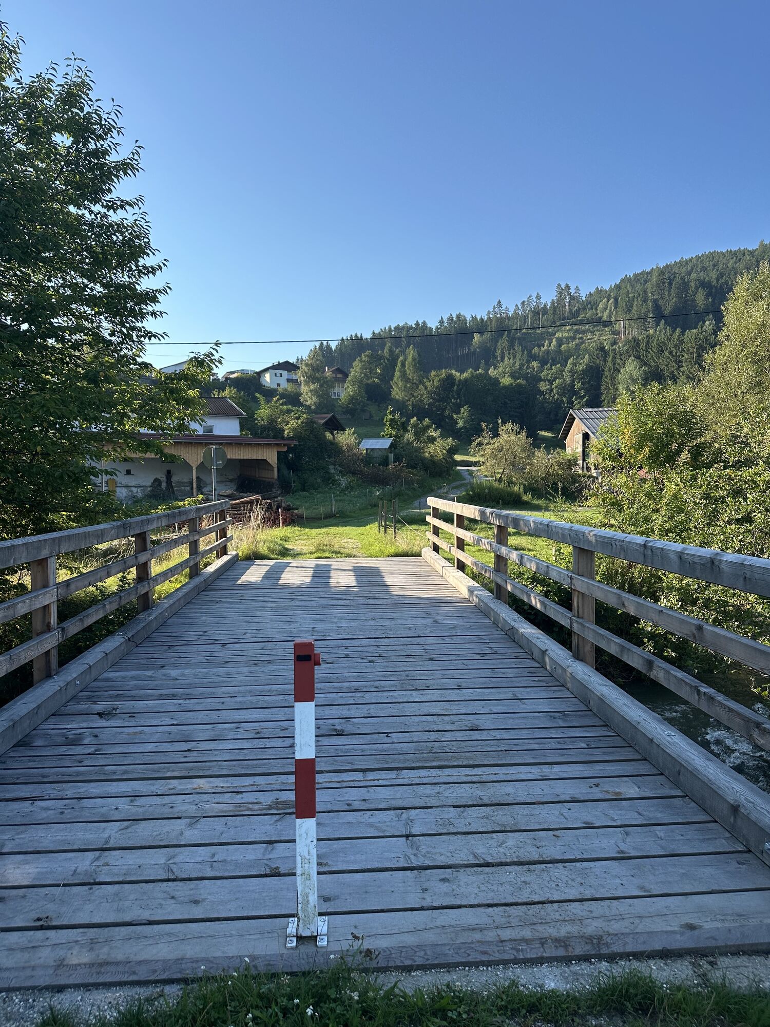
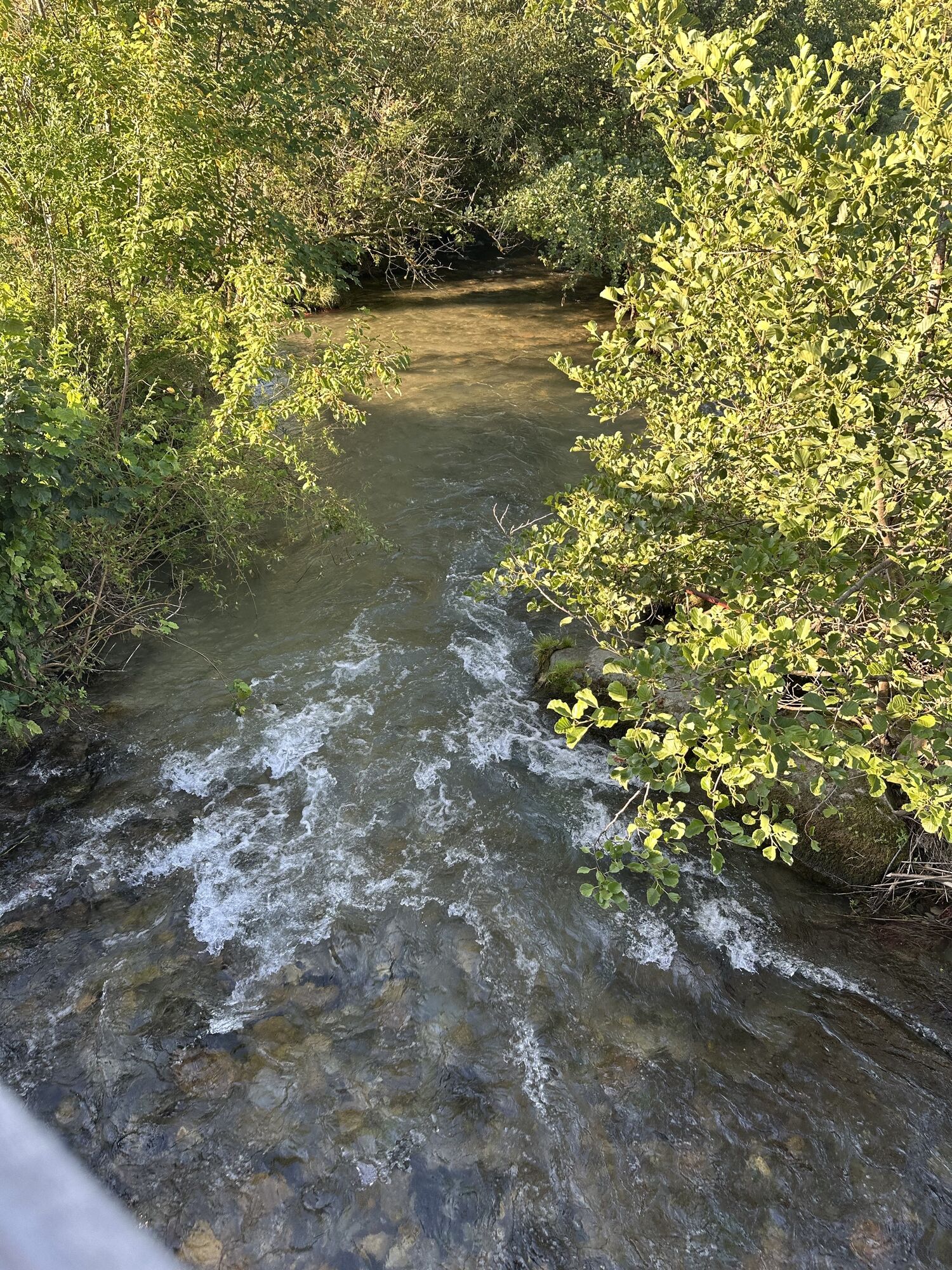
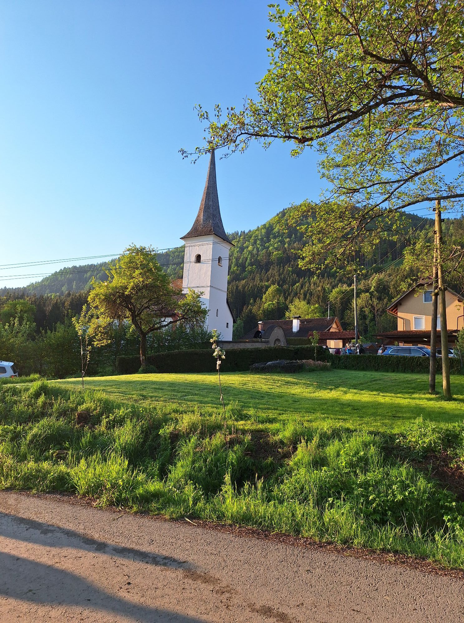
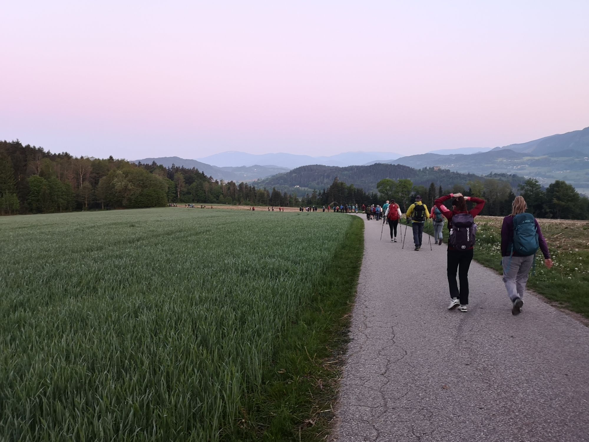
Starting from Ossiach, first follow the road or cycle path R2A eastward to the end of the lake. Continue along the federal road to Prägrad. There, turn right toward Höfling. In Höfling, at a fork, turn right and shortly climb steeply to Glanhofen. Go straight over the main road. Shortly after the highest point, turn right and then in the hollow below turn left again, following the road along the valley floor to Oberglan. At the curve where the road joins the main road, turn right, and at the next main road go straight across and follow the road of the side street to Klein St.Veit. Follow the road to Wölfnitz. In the village, turn right toward St. Andrä and the golf course. At the main road, turn left and follow it to Lendorf. There, again turn left on the main road and go straight to the traffic lights. Cross straight over and follow the road to Poppichl, where, at a blind spot, you must turn left. Then follow the side road to Karnburg. Here, turn left on the main road and follow it to the junction at Preilitz. Turn left here and again follow the side road to the junction at Karnberg. Turn left and follow the side road to St. Peter am Bichl. In this village, turn right to the main road, then right again and shortly after left into the village Zweikirchen. Here you can refill water at the cemetery. In the village, turn left again toward Maria Feicht. At the junction with the main road, turn right and follow it for a short descent. As soon as it flattens at the bottom, turn right into Glanegg. Through the village and at the end of it, at a small climb, go through a small underpass to the right toward Kadöll. In Kadöll, follow the road slightly left to Besendorf and continue to Gramilach. In Gramilach climb steeply left and follow the road to the main road. Turn left at the main road to St. Urban. Turn left again here and after a short climb carefully descend the steeper slope to the valley floor. At the junction with the main road, turn right and immediately turn right again at the inn. Behind the inn take the side road up the hill and through the houses always keep left heading toward Berg and Dietrichsteiner See. Pass these and continue to Tschwarzen and after a descent through Feldkirchen to Rabensdorf (glider airfield). Continue on the road to Liebetig and Burgrad. Then on the main road turn left to continue to the junction Ossiach. Then left, and after the beautiful section along the lake at the junction with the south shore road, turn right again and follow the route to Ossiach.
Suitable road bike, tools and safety equipment, helmet, sufficient fluids.
Kamery internetowe z trasy
Klagenfurt am Wörthersee / Neuer Platz
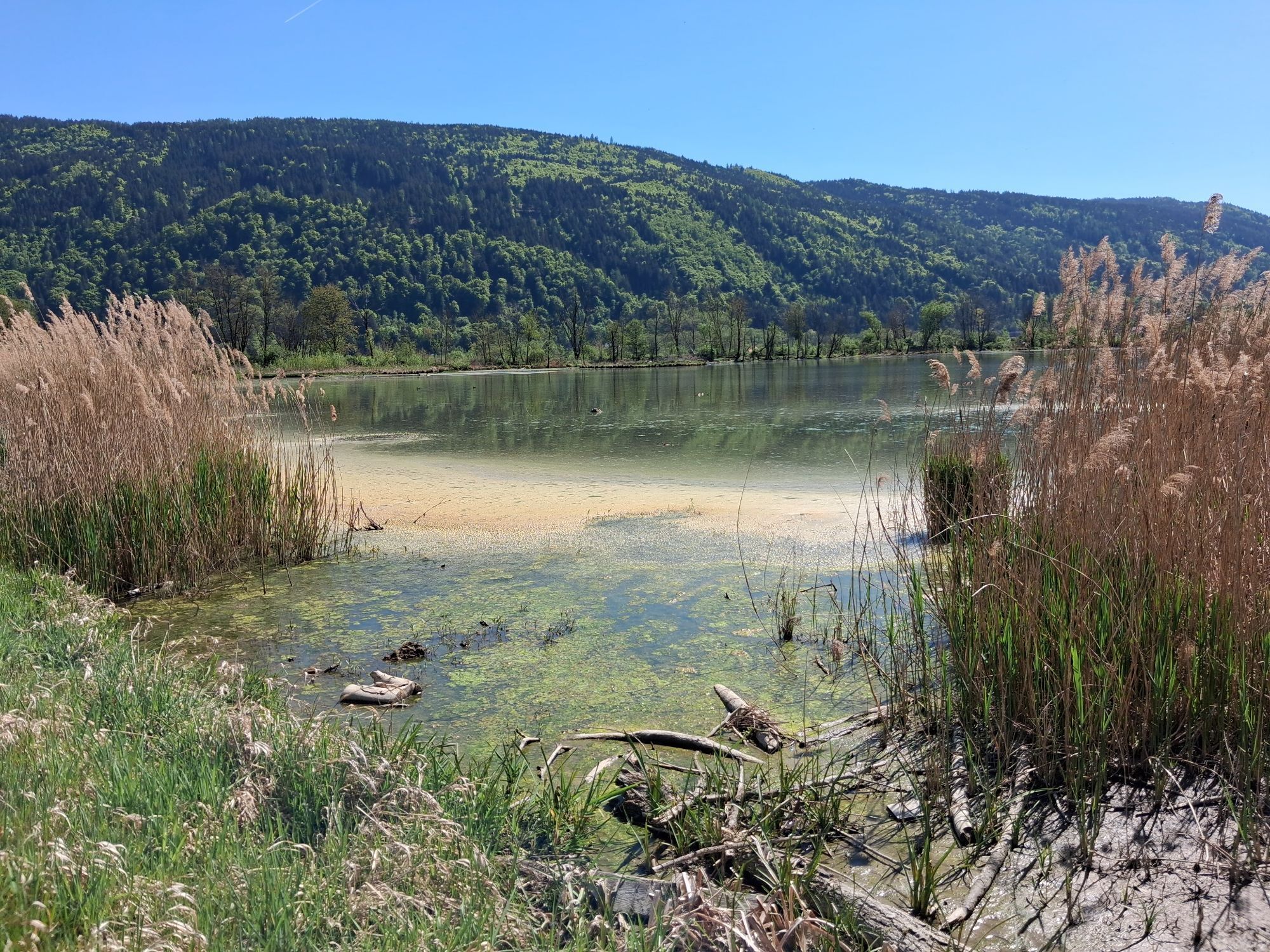
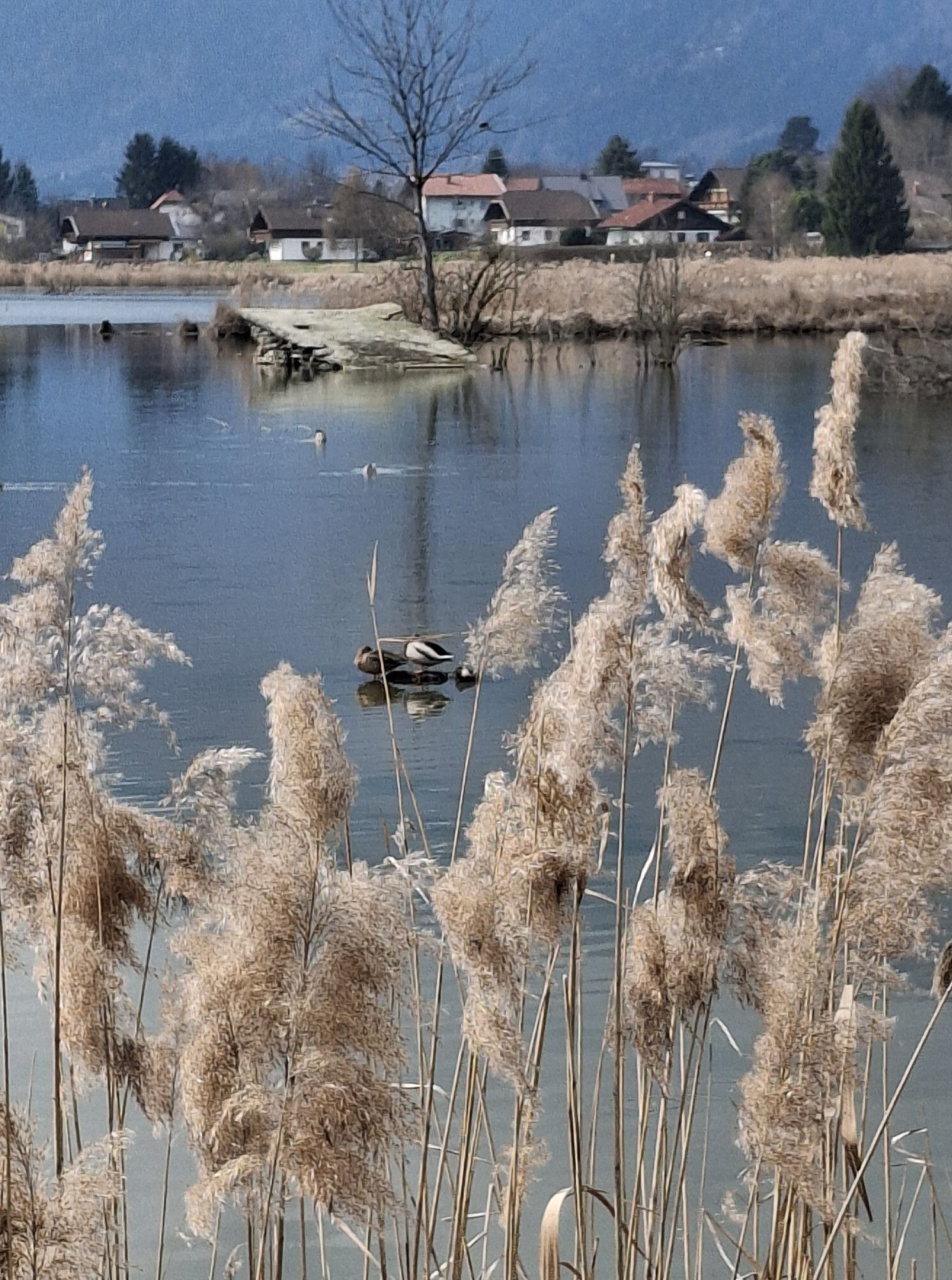
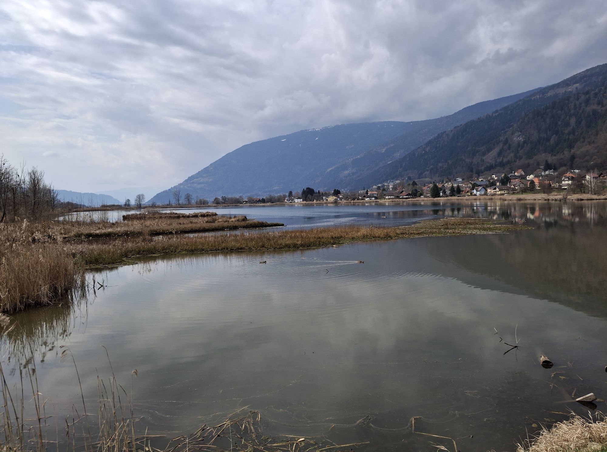
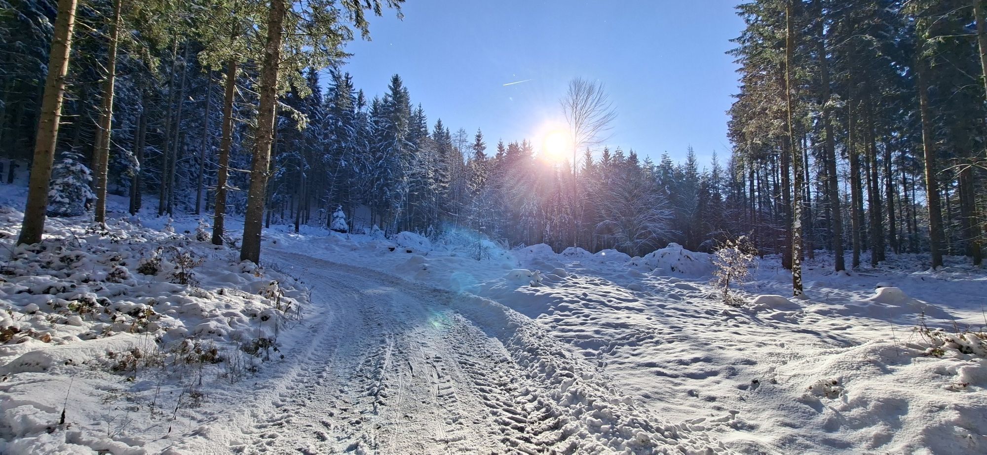
Ossiach/Ossiachersee
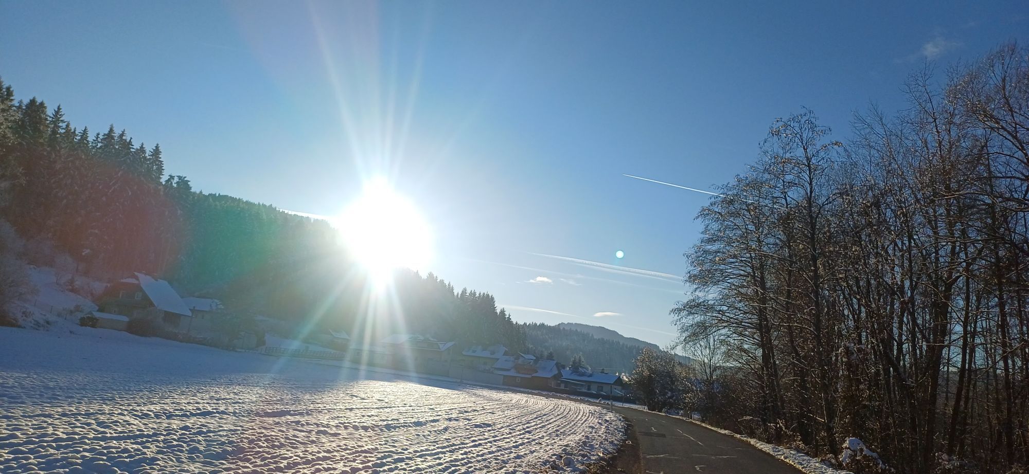
Ossiach/Ossiachersee
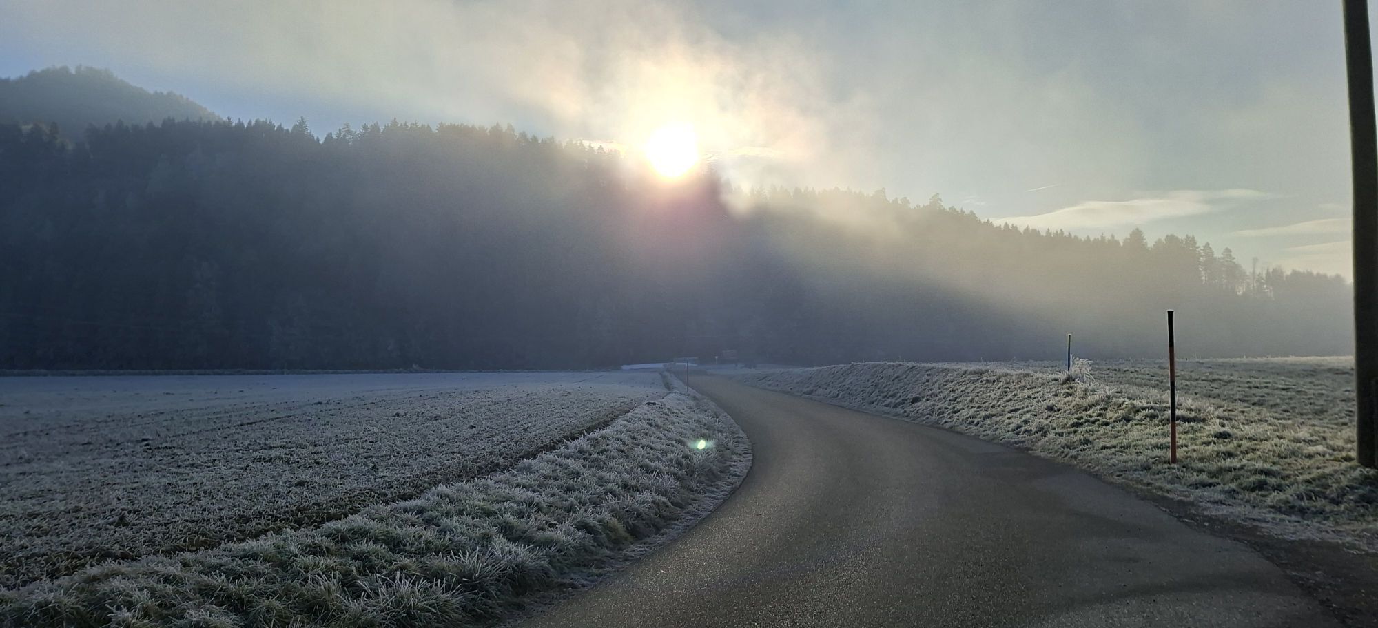
Ossiach/Ossiachersee
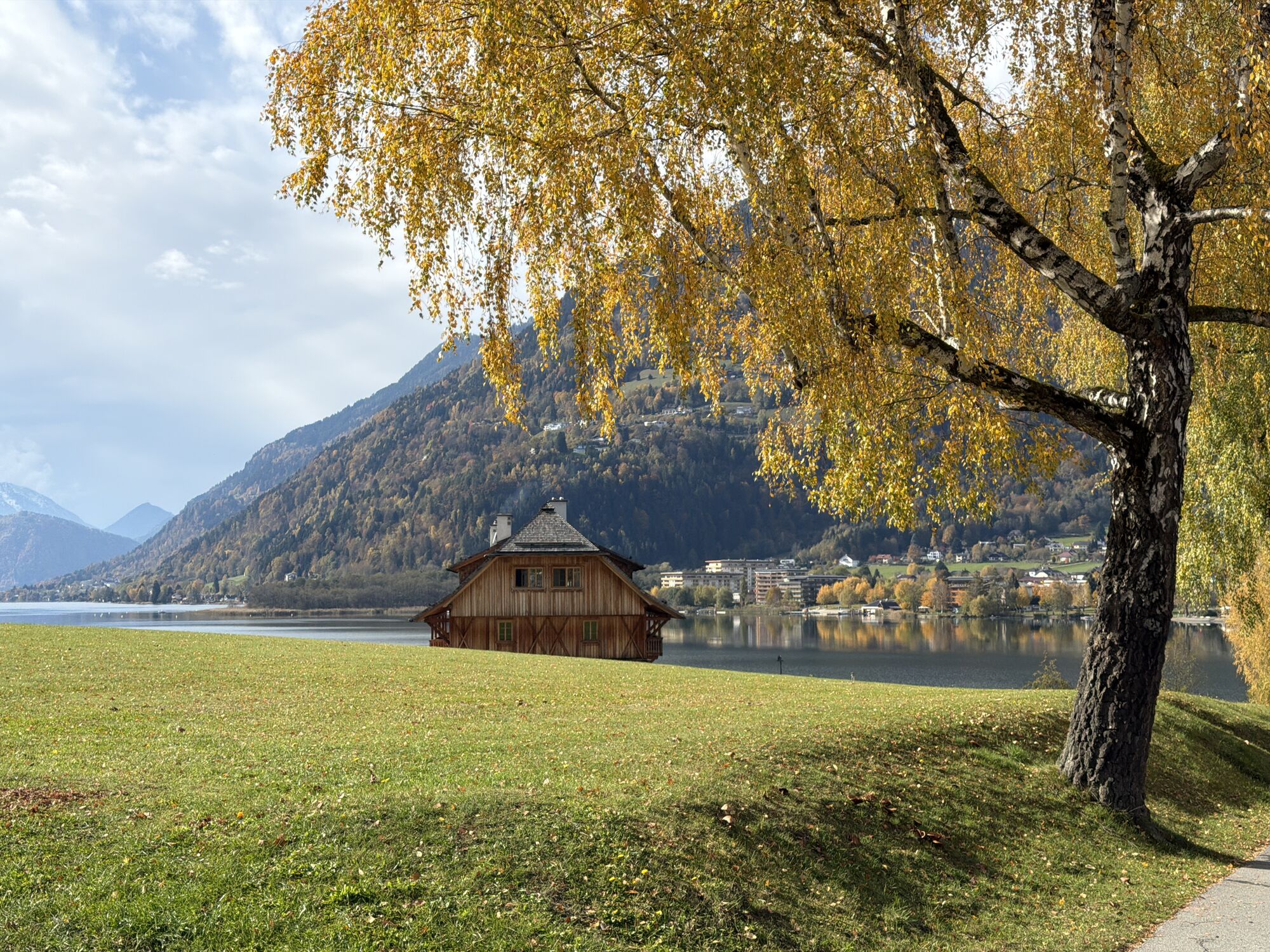
Ossiach/Ossiachersee
Ossiach/Ossiachersee
Ossiach/Ossiachersee
Strandbad Klagenfurt
Schloss Loretto
Flugfeld Feldkirchen
Hotel SeeRose
Paulsberg Skilift
Golf Velden am Wörthersee
Klagenfurt Sternwarte
Strandbad St. Urban / Urbansee
Strandbad Klagenfurt
Bodensdorf am Ossiacher See
Bodensdorf am Ossiacher See
Popularne wycieczki w okolicy
- 5,0
Wörthersee EXTREM
ciężkiWędrówka 60,1 km - 4,5
Pyramidenkogel path Maria Wörth
średniWędrówka 10,8 km - 4,3
Cycling around Lake Wörthersee – leisurely cycling between turquoise blue water and fantastic views
średniJazda na rowerze 48,2 km - 4,8
Abenteuer-Wasser-Weg
średniWędrówka 9,13 km - 4,7
Vierbergelauf
średniTrasa pielgrzymki 47,6 km - 4,2
Slow Trail Bleistätter Moor (Variant A)
światłoWędrówka 7,22 km - 4,7
Zillhöhe
średniBieganie 7,94 km - 4,7
Hoher Gallin route
średniWędrówka 7,09 km - 4,5
Ulrichsberg
światłoWędrówka 5,60 km - 3,9
Lake Wörthersee Circular Route
średniJazda na rowerze 41,2 km
Wędrówki i tropienie


Nie przegap ofert i inspiracji na następne wakacje
Twój adres e-mail została dodana do listy mailingowej.