


St. Veit / Glan - Liebenfels - Feldkichen - Moosburg - Krumpendorf - St. Veit/Glan
Poziom trudności: 1


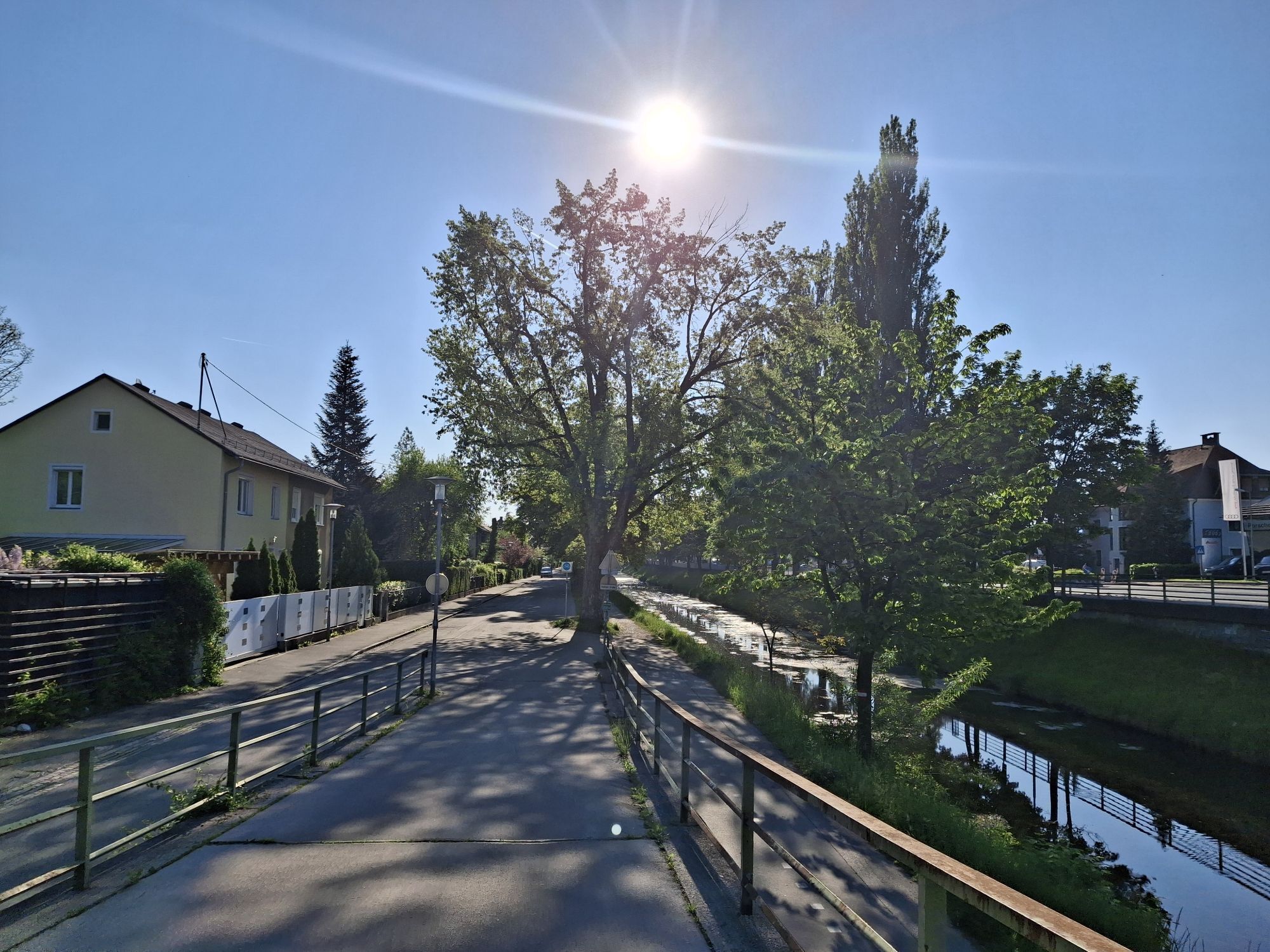
The bike route from St. Veit an der Glan to Krumpendorf leads through a varied Carinthian landscape. The starting point is St. Veit an der Glan, a charming town with a well-preserved old town and an impressive...
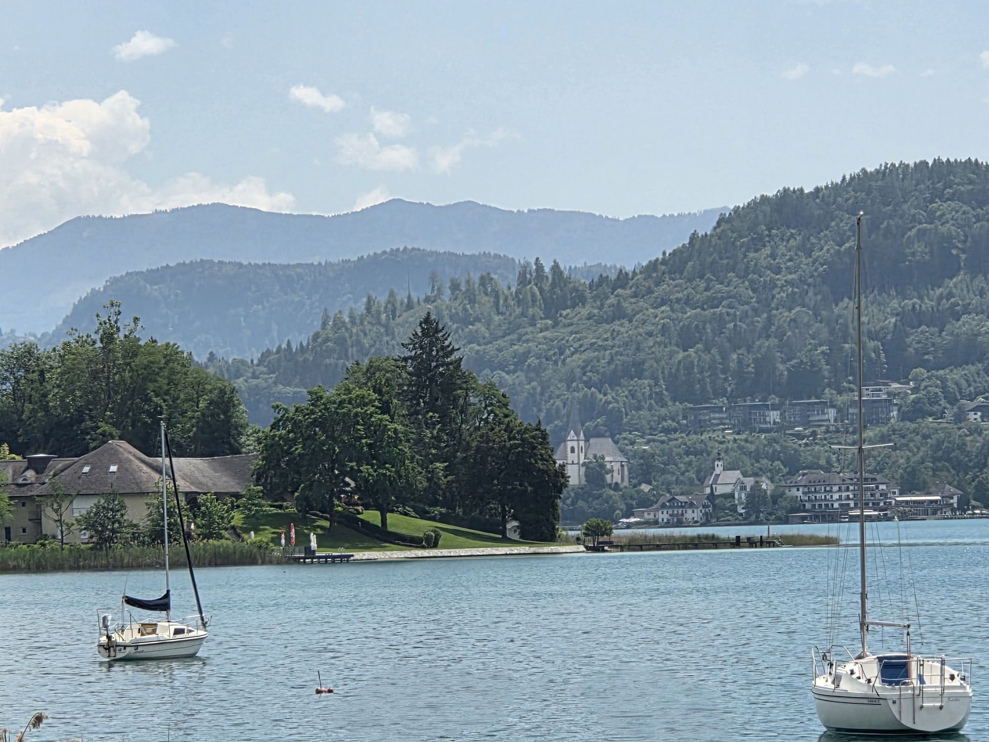
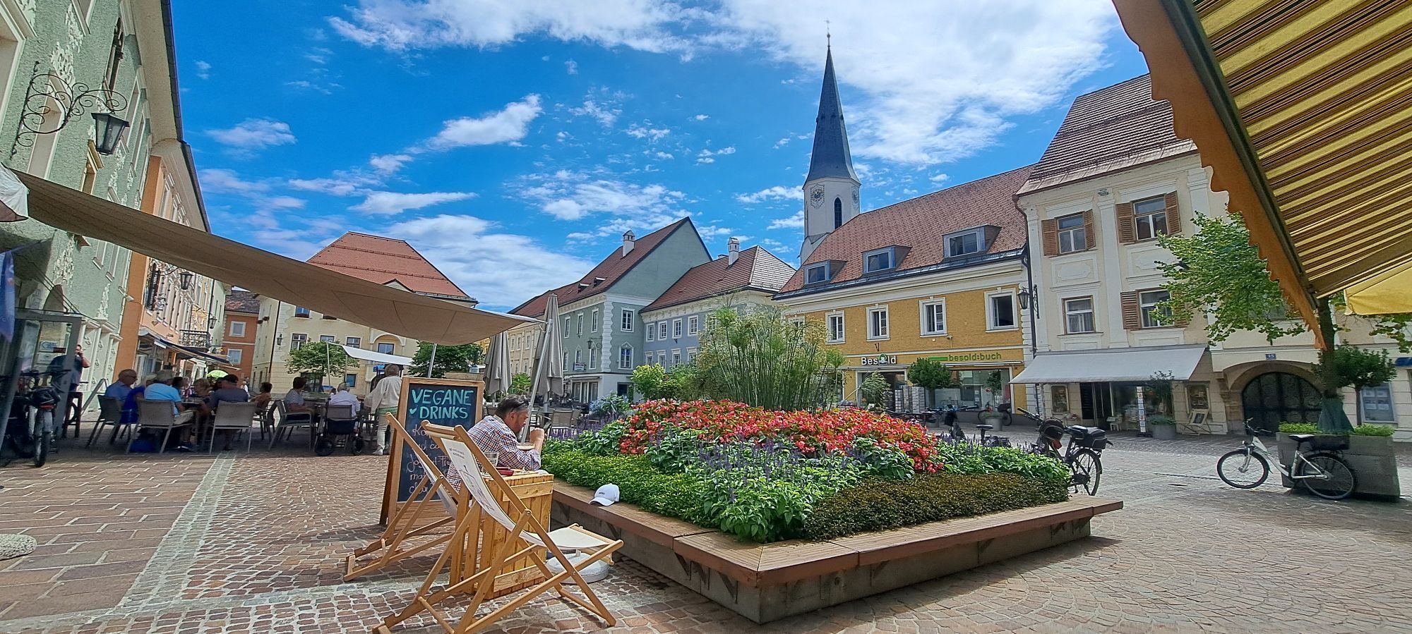
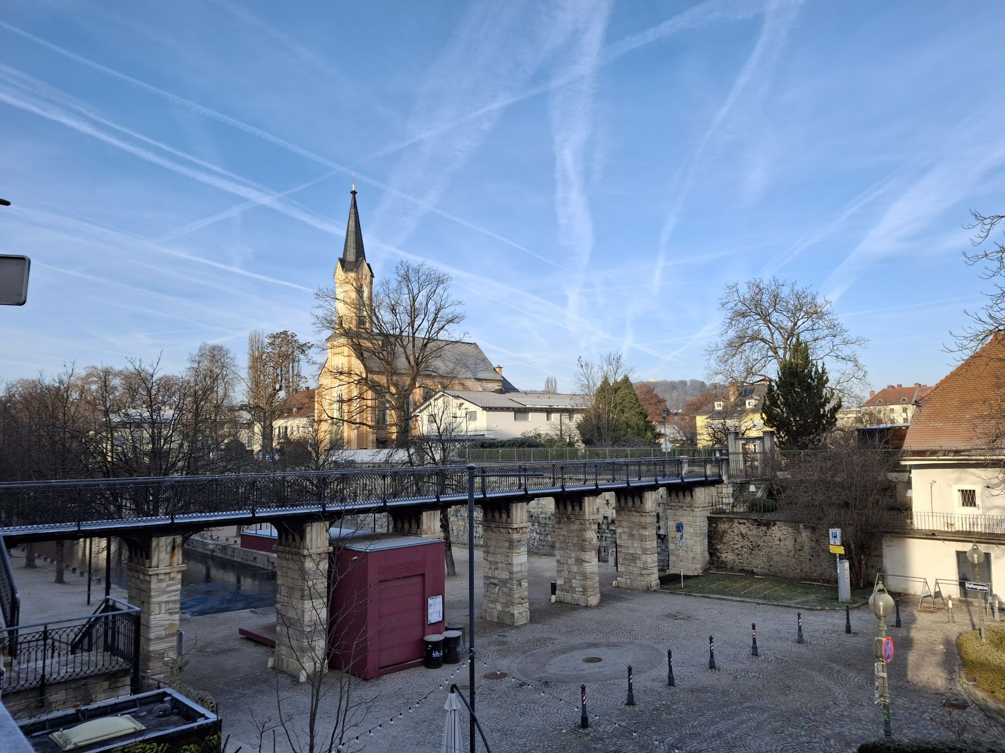
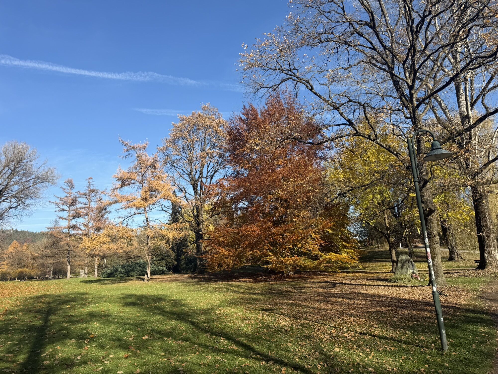
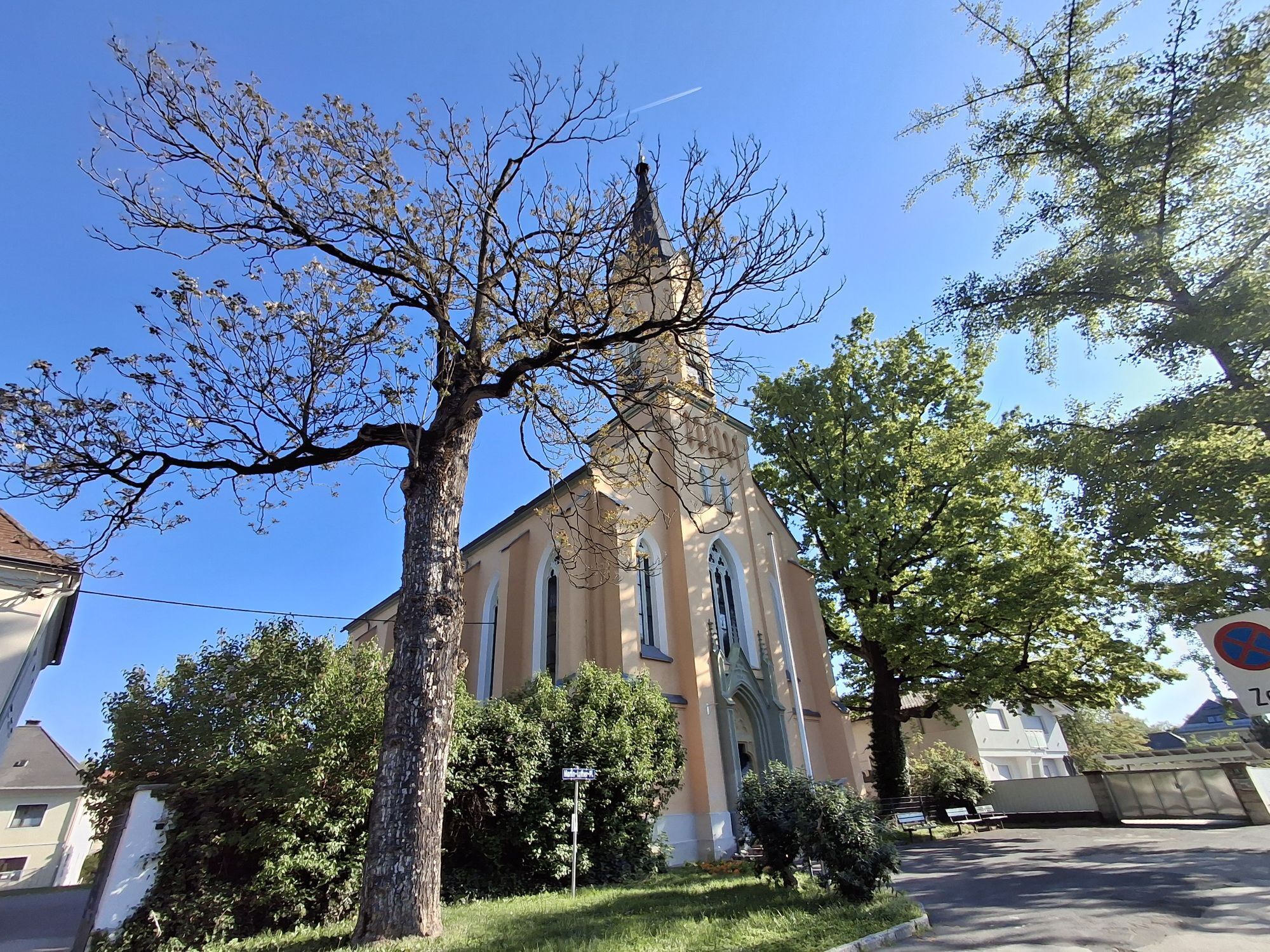
The bike route from St. Veit an der Glan to Krumpendorf leads through a varied Carinthian landscape. The starting point is St. Veit an der Glan, a charming town with a well-preserved old town and an impressive main square. From there, the route heads southeast over quiet country roads and bike paths.
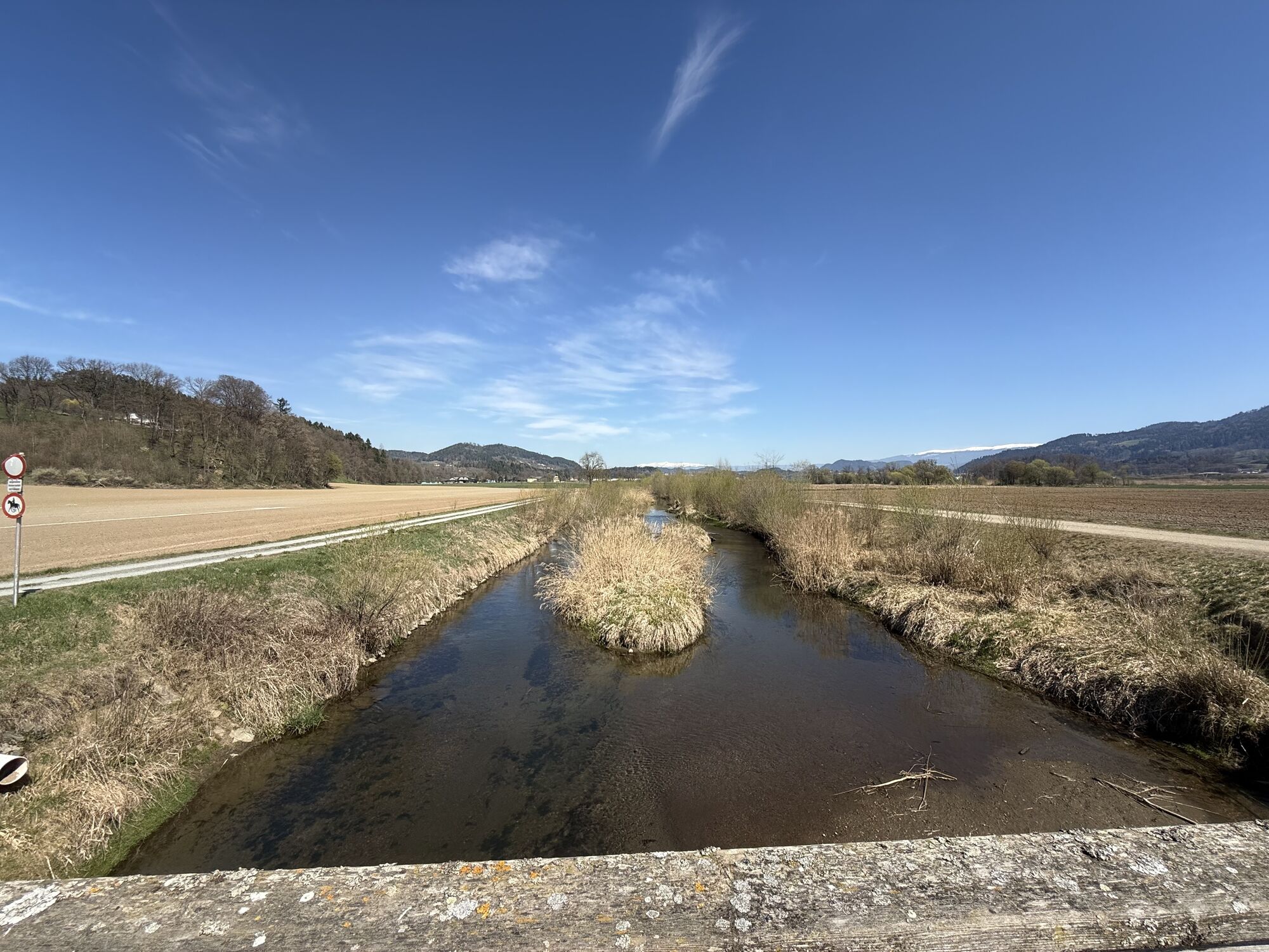
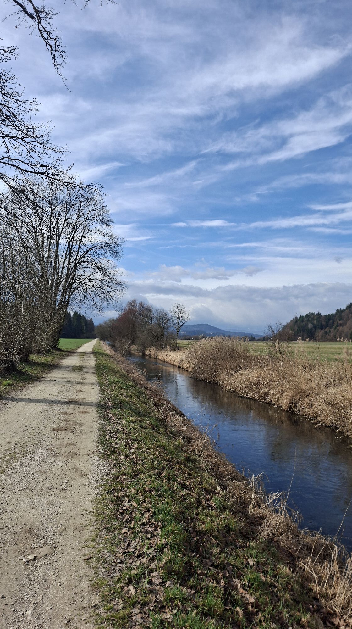
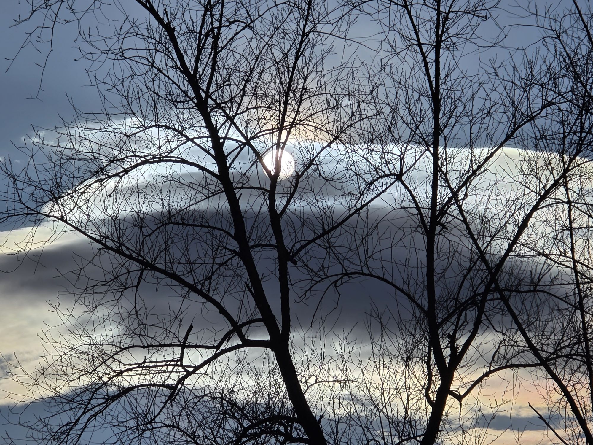
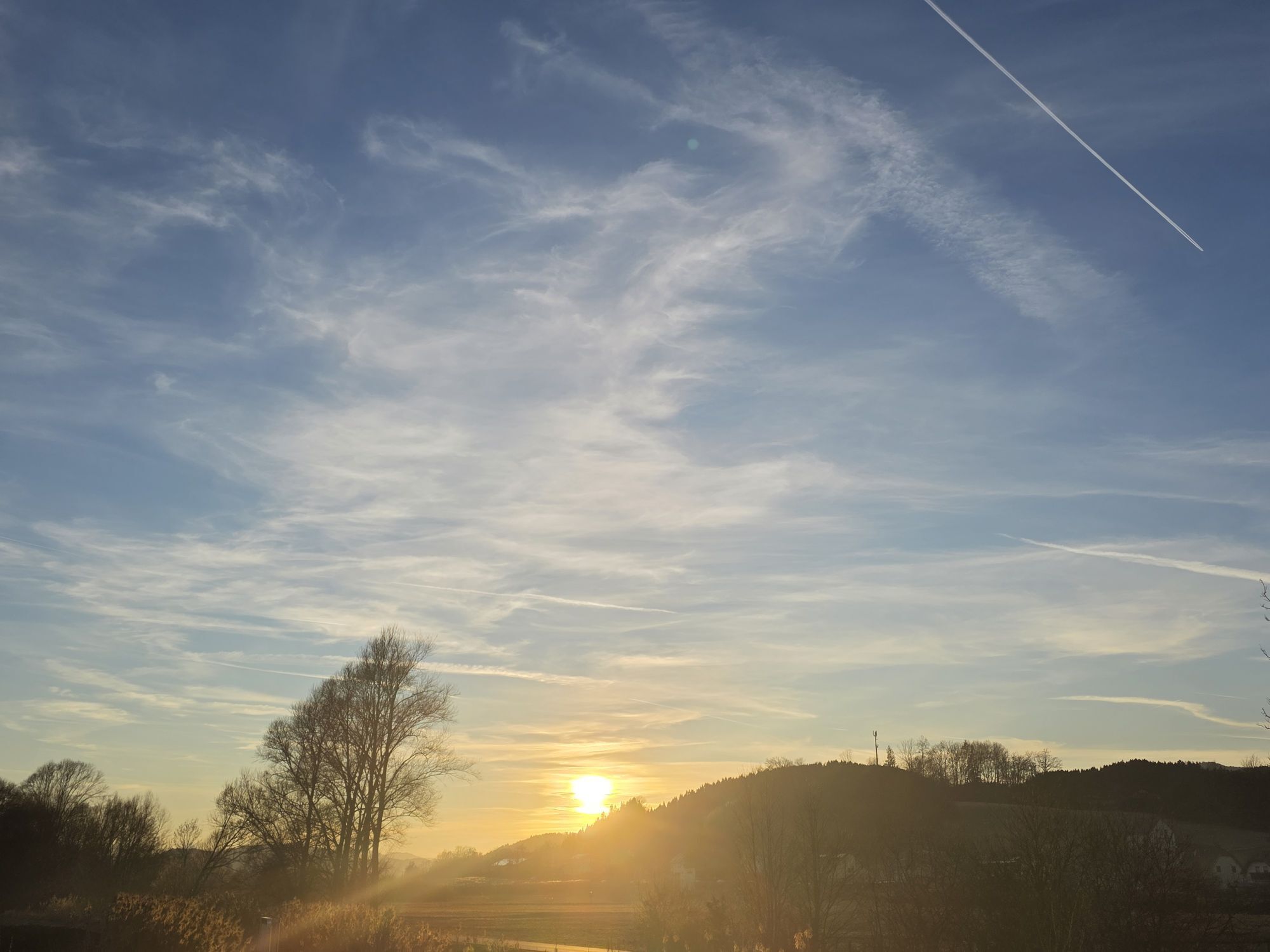
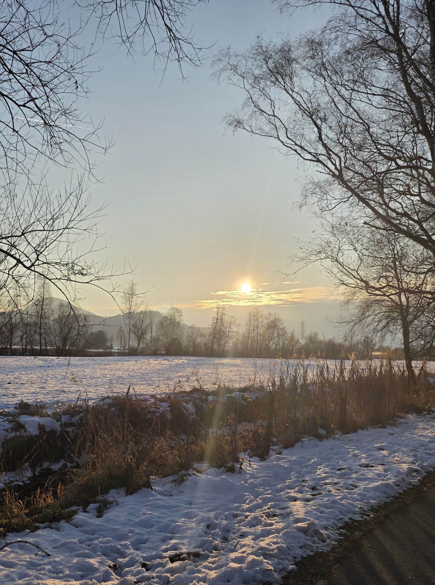
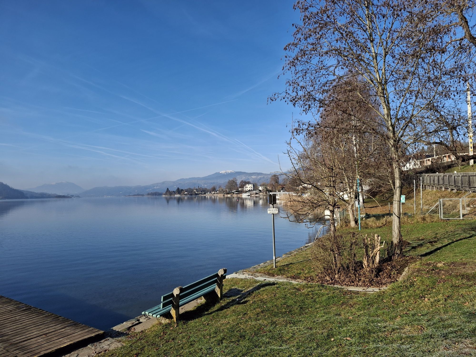
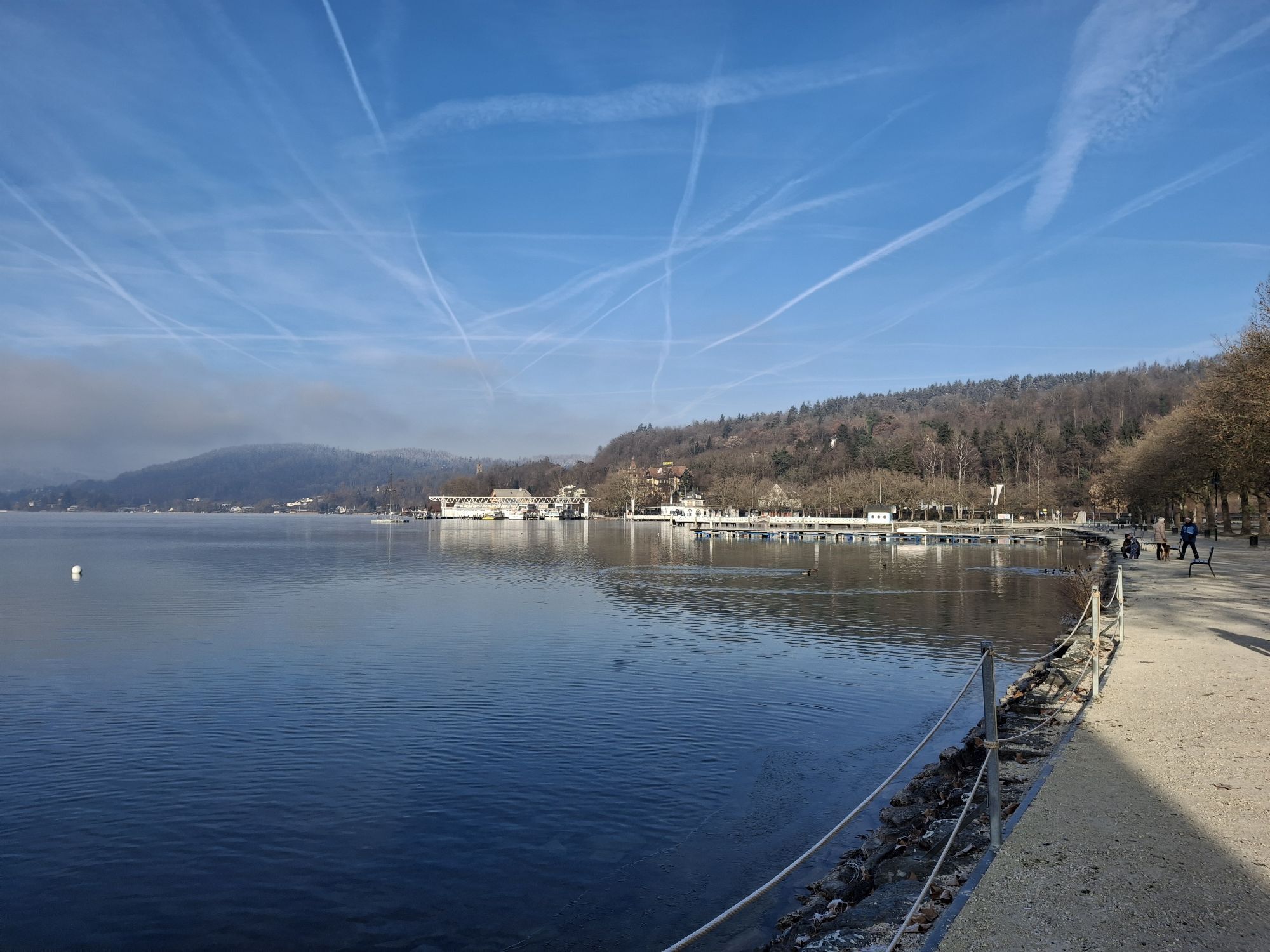
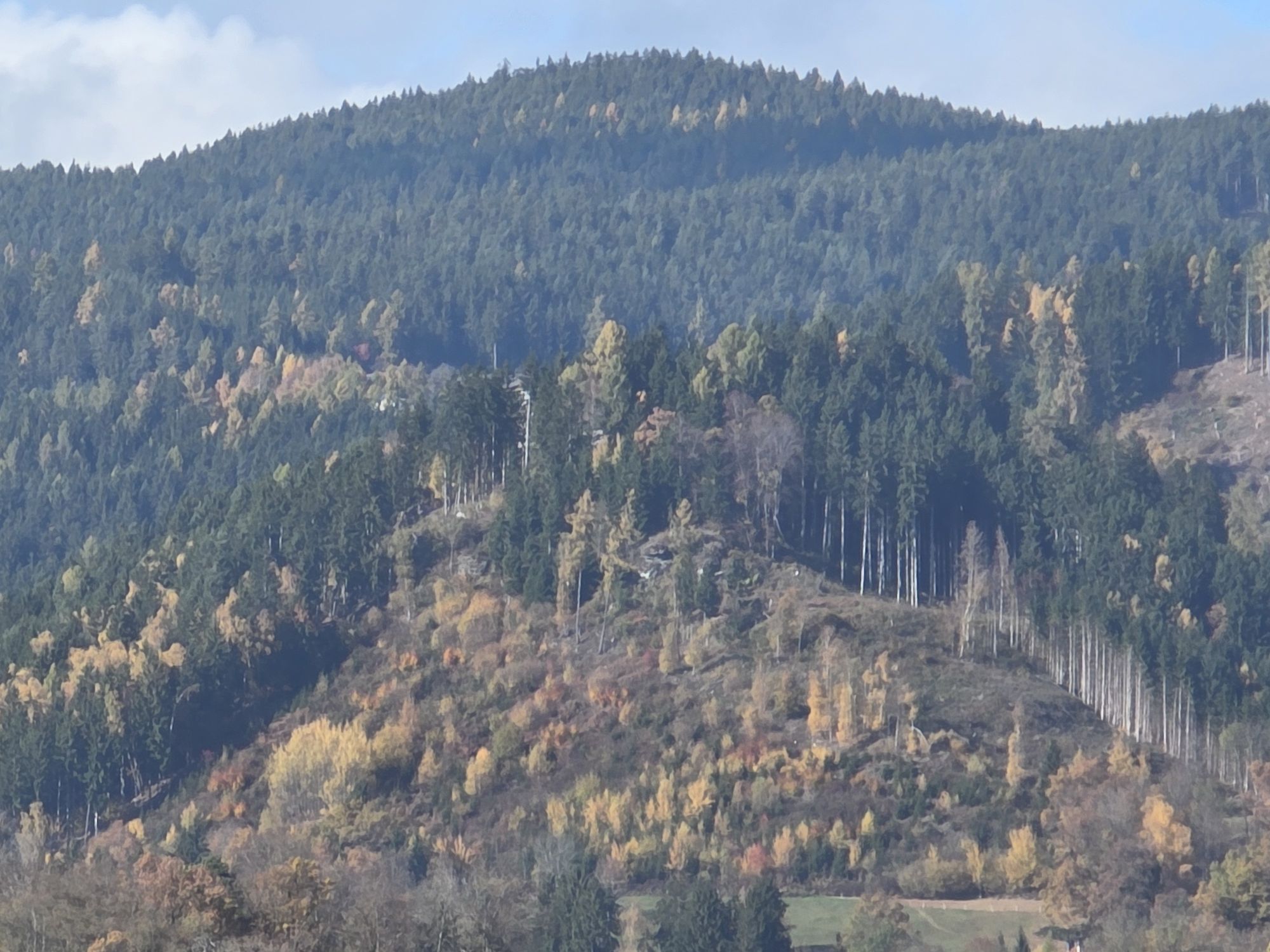
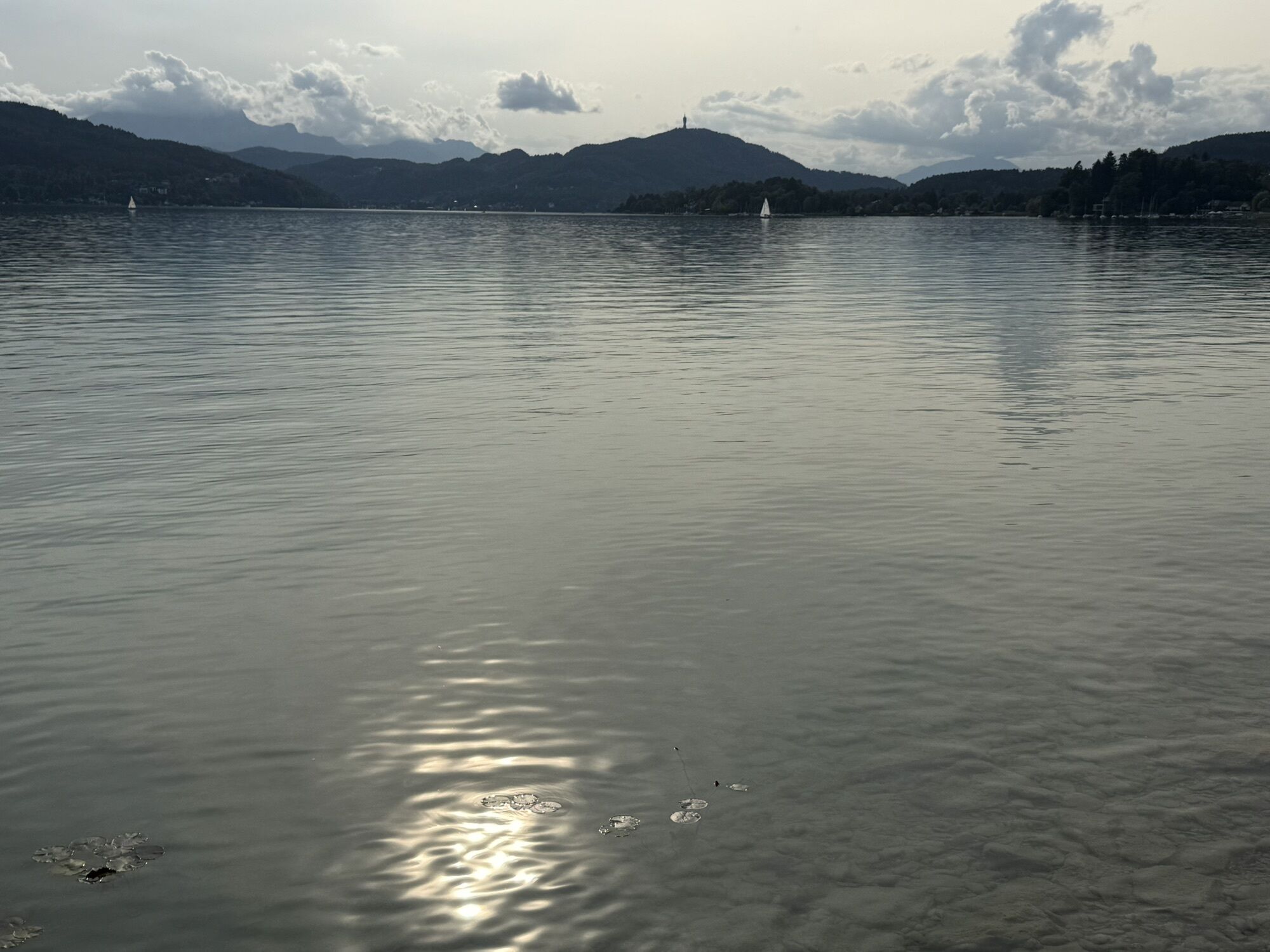
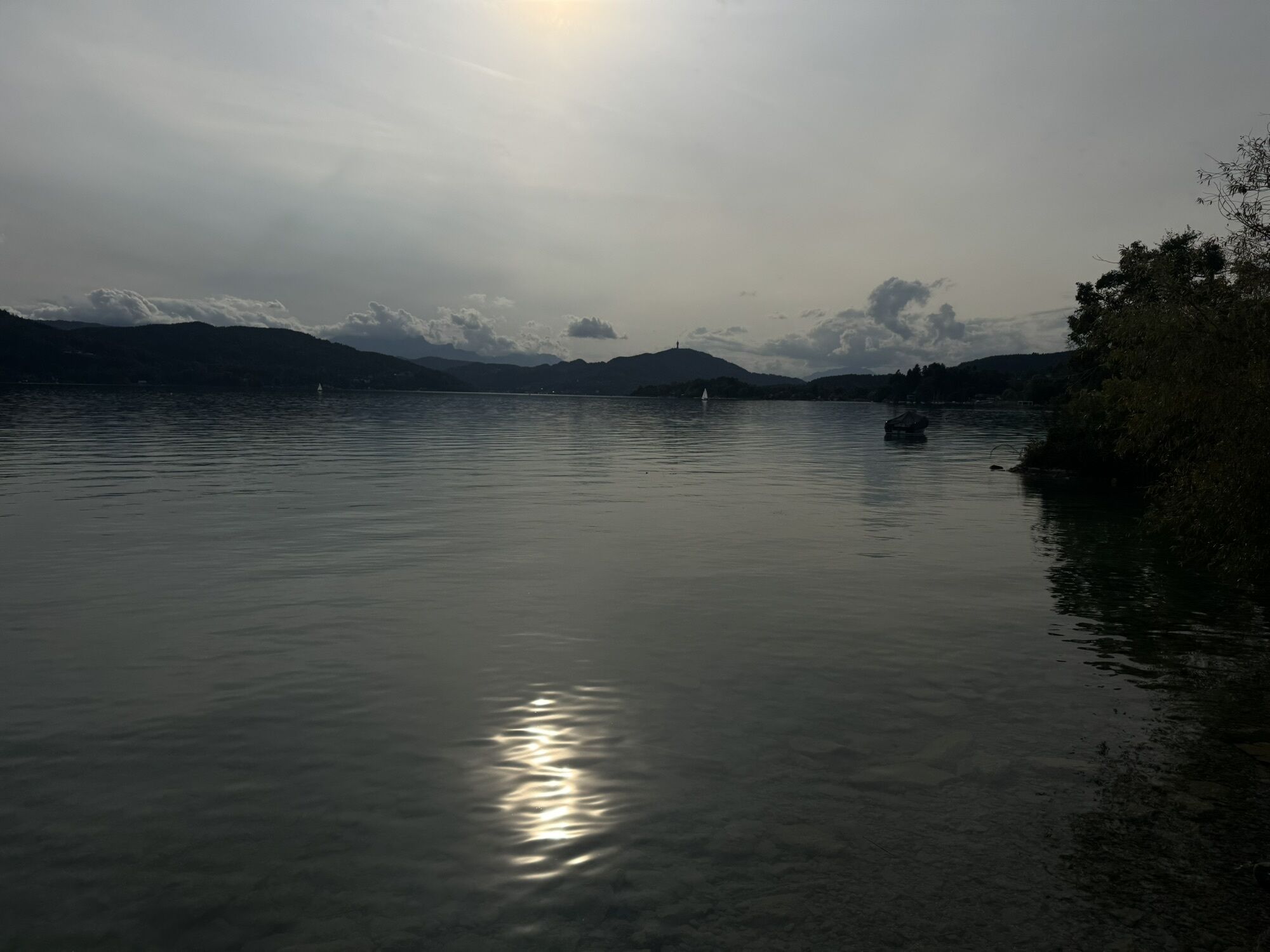
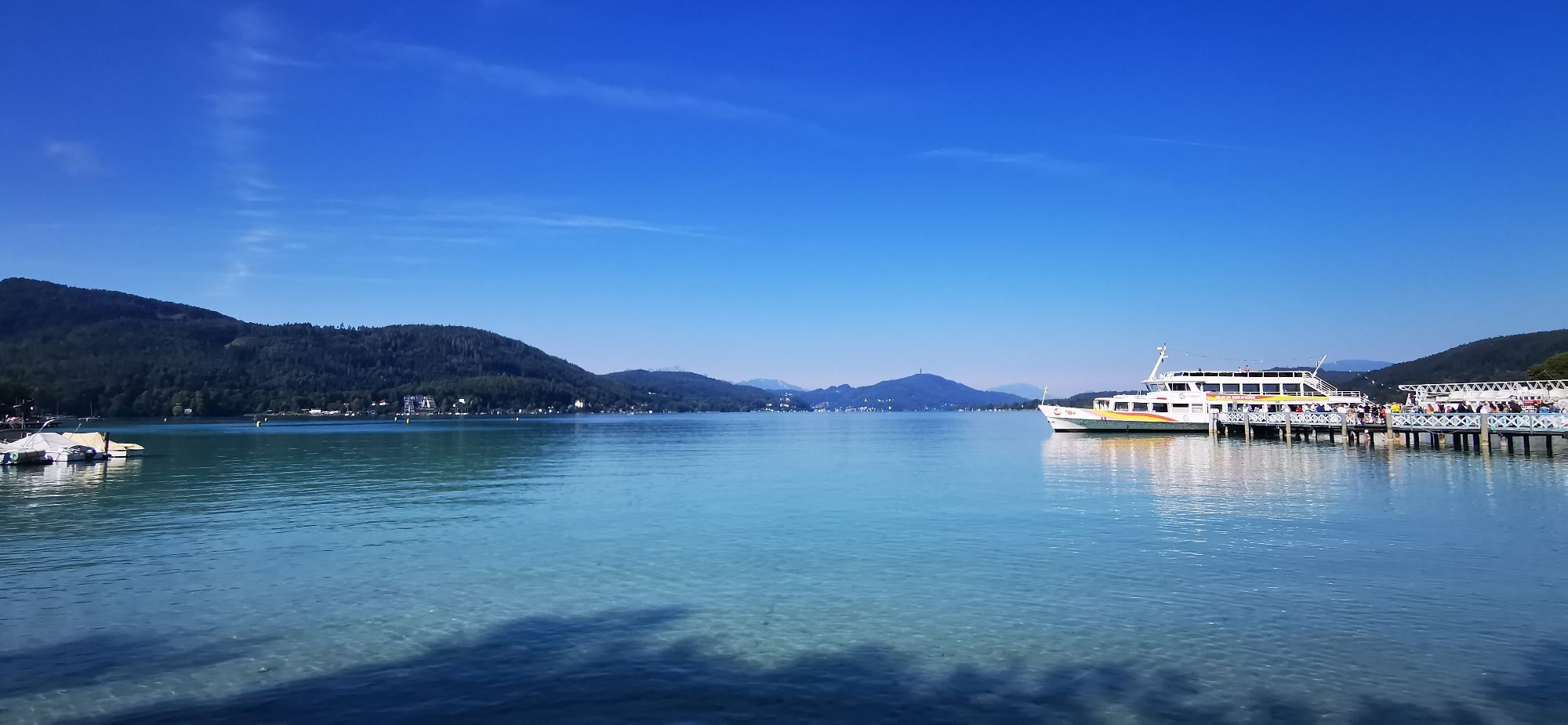
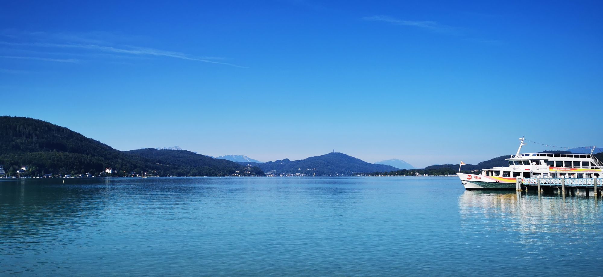
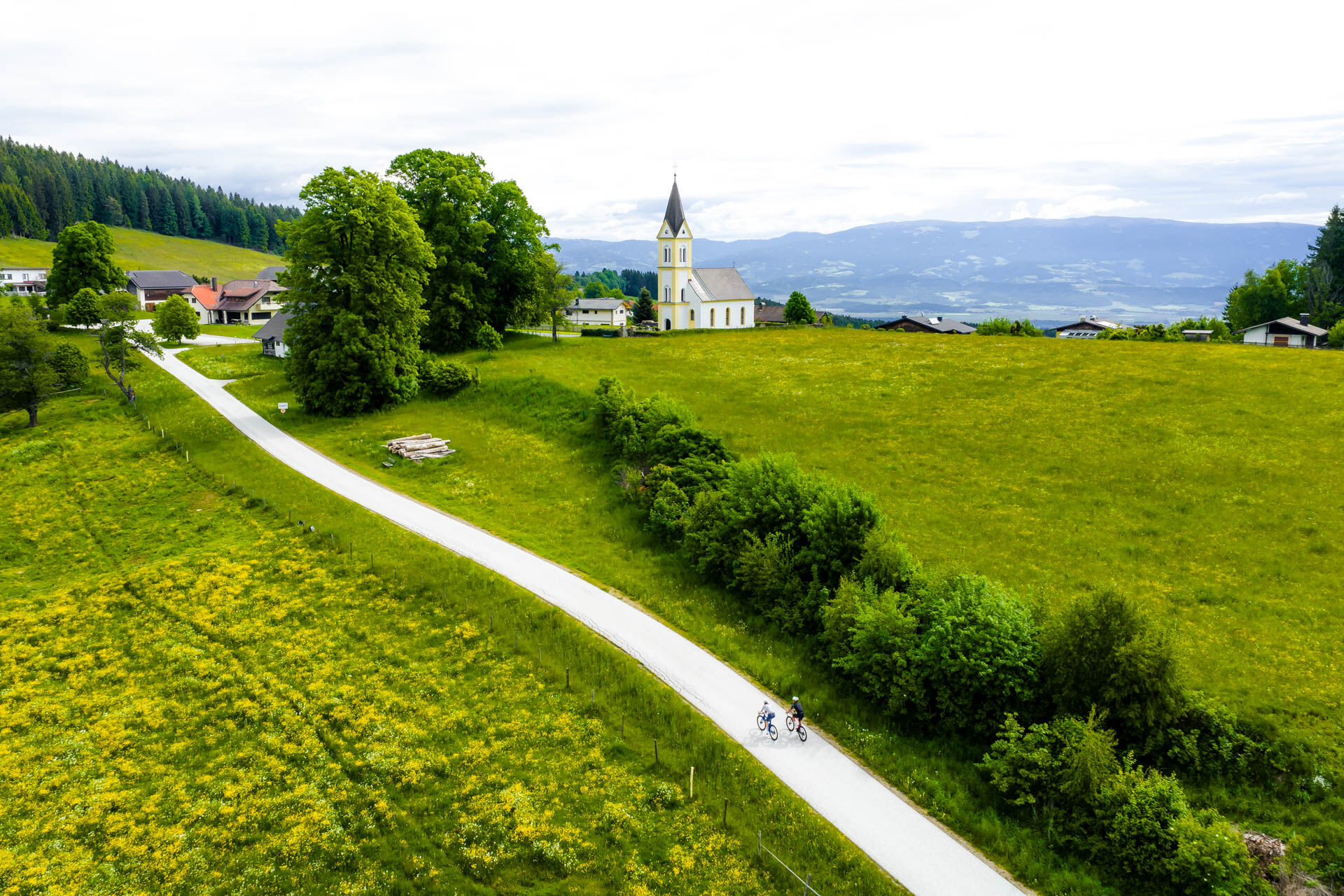
Along the way, you pass gentle hills, green meadows, and idyllic villages that characterize the typical Carinthian landscape. After about 15 kilometers, you reach Moosburg, a small municipality by the idyllic Moosburger pond. Here, there is an opportunity for a break and perhaps a walk around the pond.
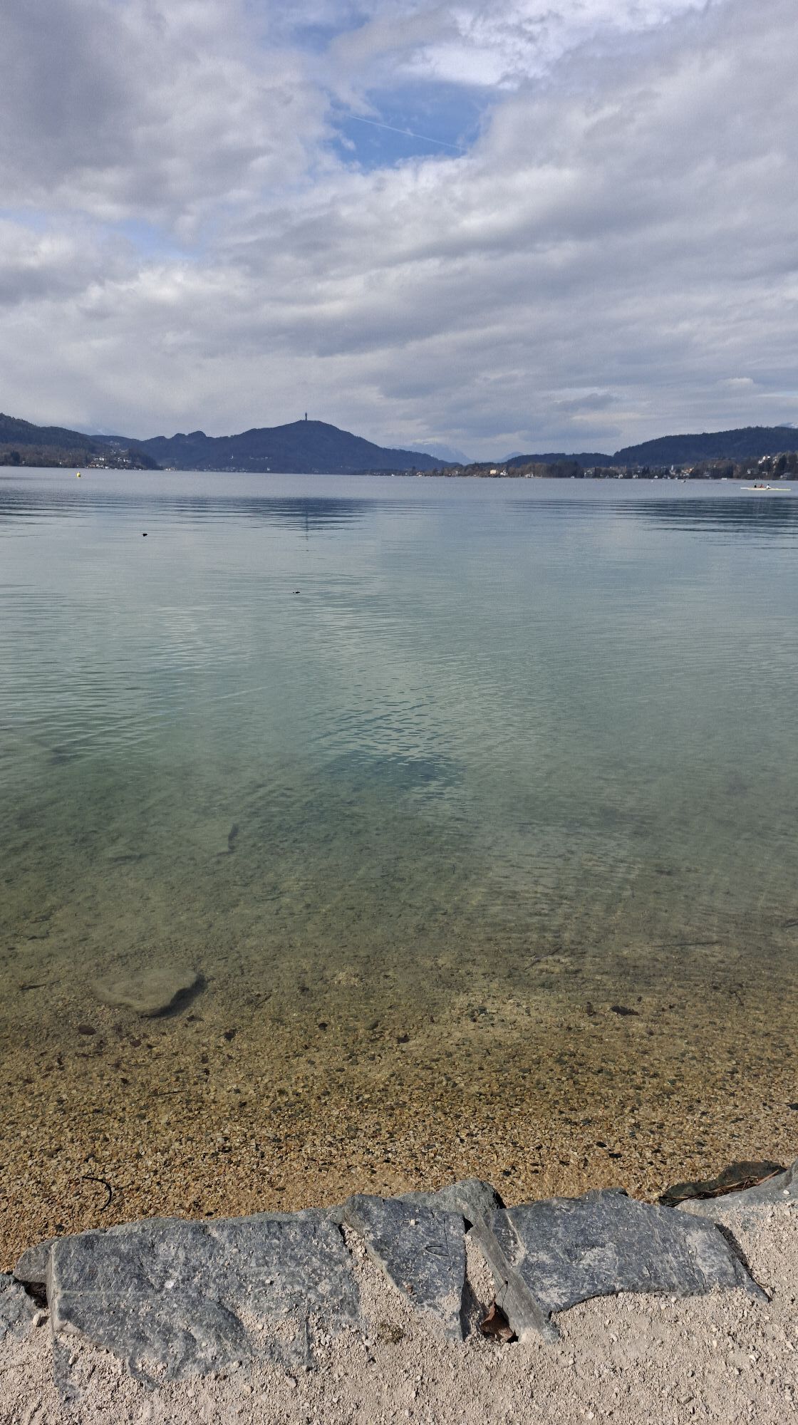
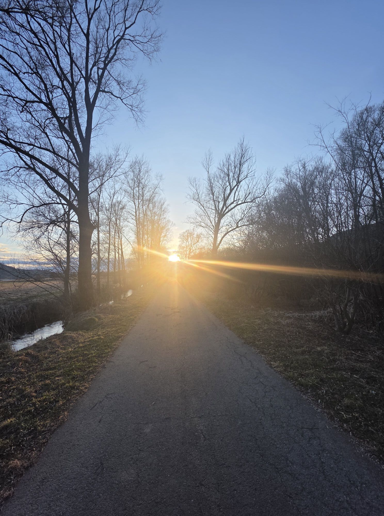
The return ride to St. Veit an der Glan mostly follows the same route, which offers a beautiful opportunity to experience the natural beauty and cultural sights of the region. The route is mostly easy to ride, ideal for cyclists of all levels who want to enjoy culture, nature, and relaxation alike.

The bike route from St. Veit an der Glan to Krumpendorf starts in St. Veit, a town with a well-preserved old town and an impressive main square. From there, the route heads southeast over quiet country roads and bike paths.
The route passes through gentle hills and idyllic villages, past green meadows and small forests typical of the Carinthian landscape. After about 15 kilometers, you reach Moosburg, a municipality by the Moosburger pond. Here, there is an opportunity for a break and a walk around the idyllic pond.
The return ride to St. Veit an der Glan runs from Krumpendorf on the bike path to St. Veit, offering a wonderful chance to experience the natural beauty and cultural sights of the region. The route is mostly flat and easy to ride, ideal for cyclists of all levels who appreciate culture and nature alike.
Tak
sturdy footwear, suitable clothing, water bottle
inform someone where you are going and when you will return
use your route planner:
from the north: via Leoben – Judenburg – Neumarkt – St. Veit an der Glan
from the east: via Völkermarkt – Klagenfurt – St. Veit an der Glan
from the south: via Klagenfurt – St. Veit an der Glan
from the west: via Villach – Klagenfurt – St. Veit an der Glan
Arrival by train: St. Veit an der Glan station (bicycle transport possible, reservation required for bicycles, detailed information at: www.oebb.at
ÖBB timetable information:
https://fahrplan.oebb.at/webapp/#!P|TP!H|704158
ample parking available: parking garages, short-term parking zones
1
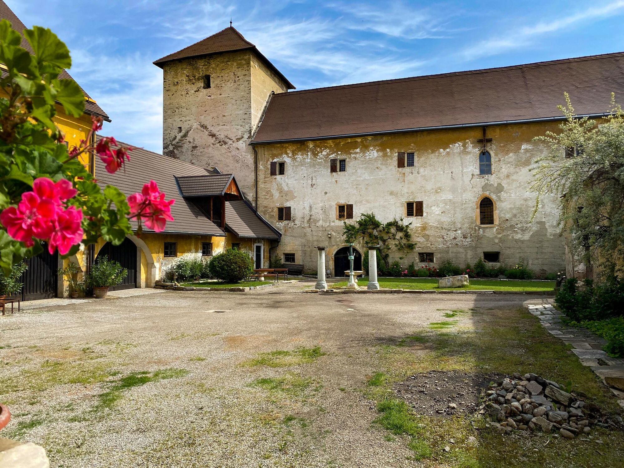
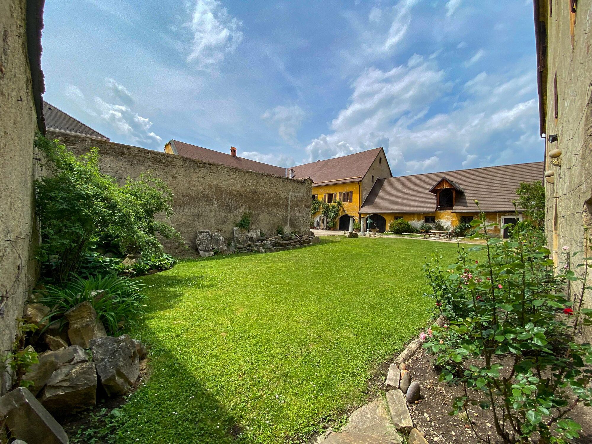
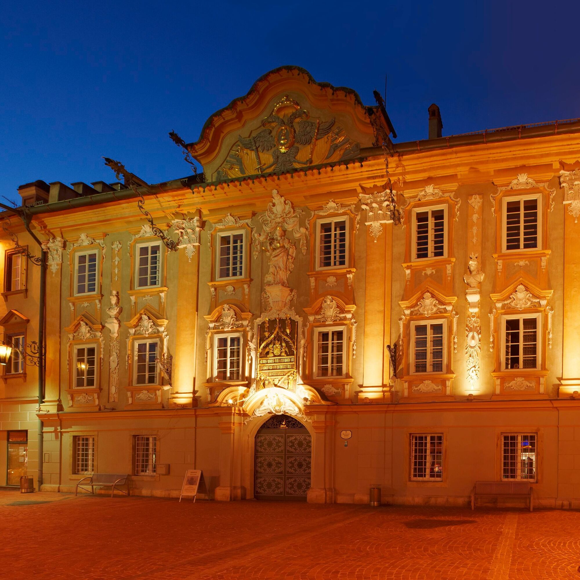
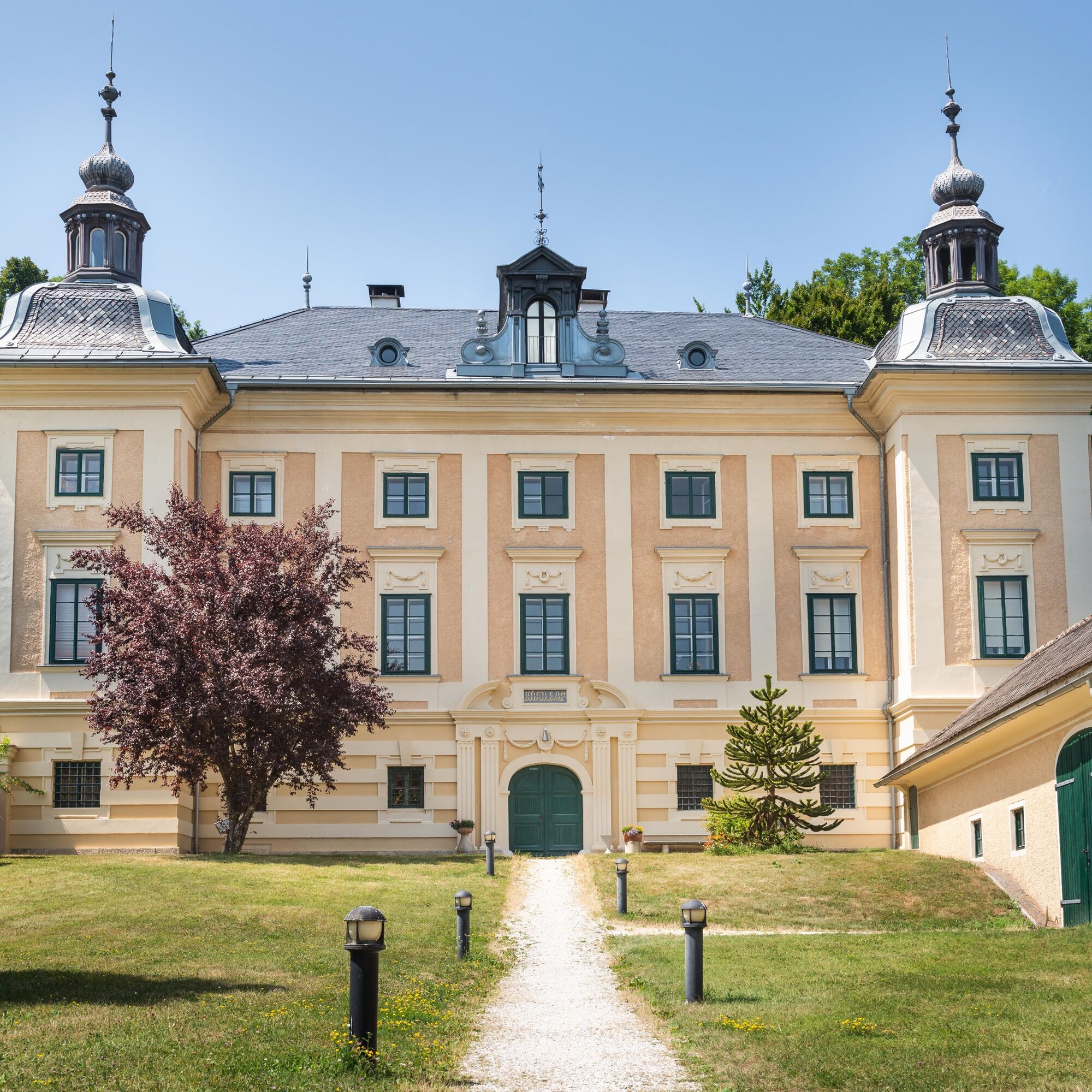
Old town St. Veit an der Glan
Museum of St. Veit/Glan
Kamery internetowe z trasy
-
Aussichtsturm Pyramidenkogel
-
Parkhotel Pörtschach
-
Hotel Schloss Seefels
-
Klagenfurt am Wörthersee / Neuer Platz
-
Klagenfurt am Wörthersee
-
Lorenziberg
-
Strandbad Klagenfurt
-
Klagenfurt, St. Peter
-
Schloss Loretto
-
Aussichtsturm Pyramidenkogel
-
Flugfeld Feldkirchen
-
Jilly Beach
-
Magdalensberg
-
Paulsberg Skilift
-
Pörtschach Süd
-
Burg Hochosterwitz
-
Klagenfurt Sternwarte
-
Observation Tower - Pyramidenkogel
-
Strandbad St. Urban / Urbansee
-
Strandbad Klagenfurt
-
Werzers Hotel Resort
-
St. Georgen am Längsee
Popularne wycieczki w okolicy
-
5,0
Wörthersee EXTREM
ciężkiWędrówka 60,1 km -
4,5
Pyramidenkogel path Maria Wörth
średniWędrówka 10,8 km -
4,3
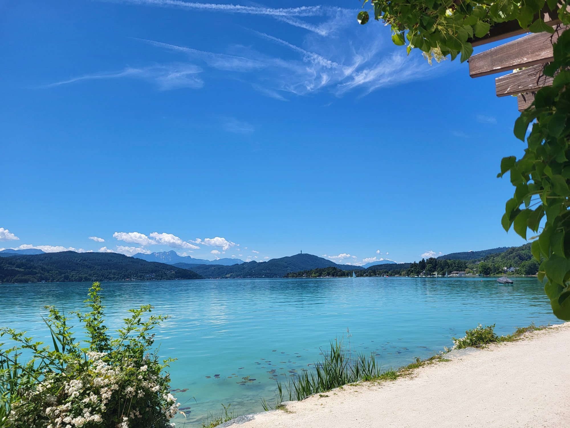
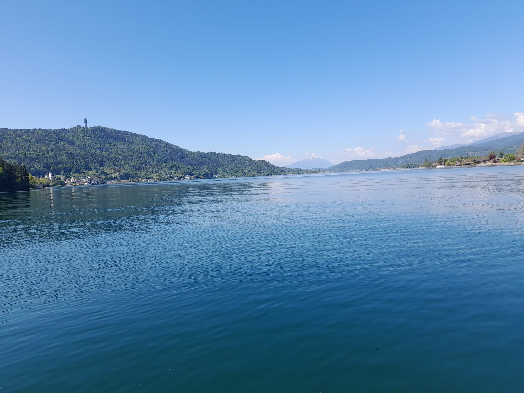
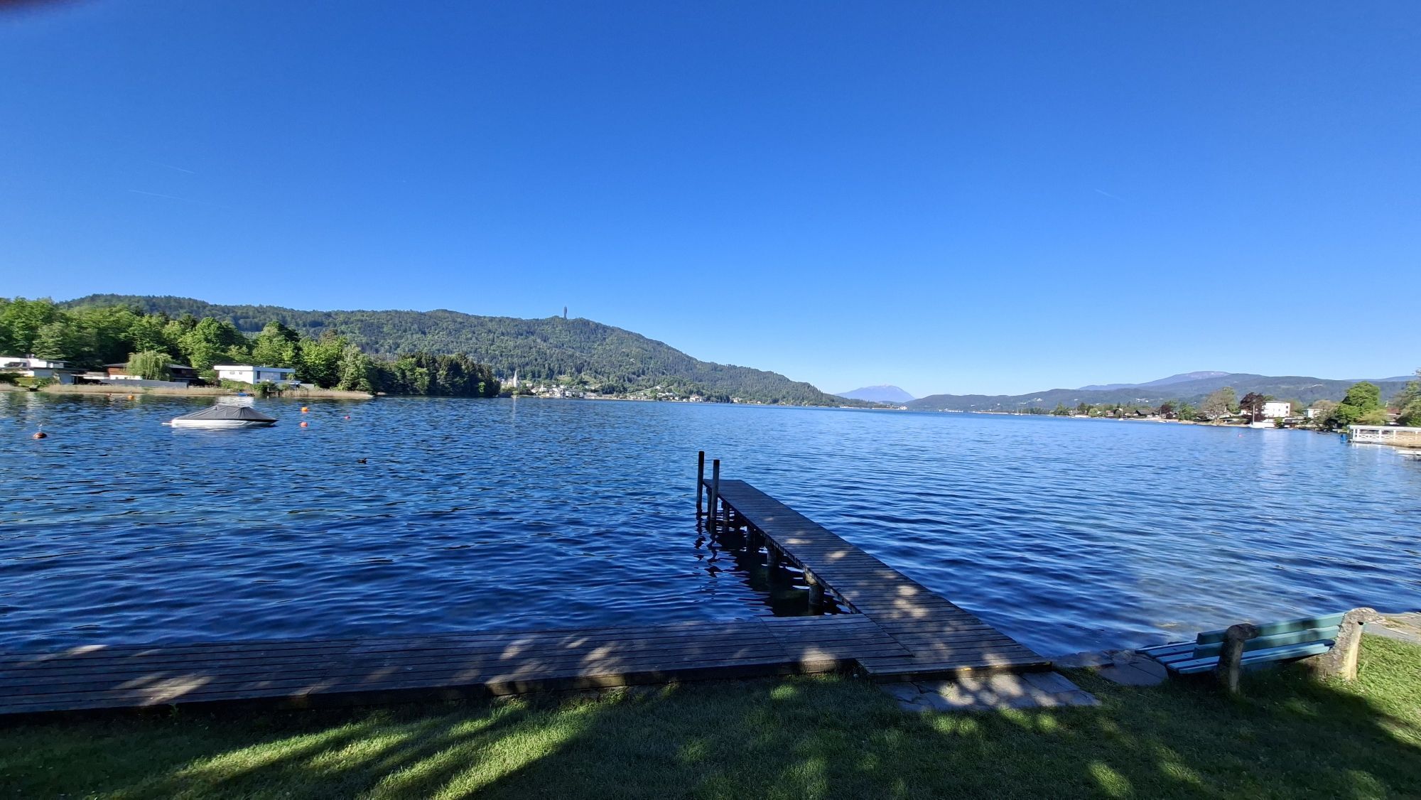
Cycling around Lake Wörthersee – leisurely cycling between turquoise blue water and fantastic views
średniJazda na rowerze 48,2 km -
4,8
Abenteuer-Wasser-Weg
średniWędrówka 9,13 km -
4,7
Vierbergelauf
średniTrasa pielgrzymki 47,6 km -
4,7
Zillhöhe
średniBieganie 7,94 km -
4,7
Hoher Gallin route
średniWędrówka 7,09 km -
4,5
Ulrichsberg
światłoWędrówka 5,60 km -
3,9
Lake Wörthersee Circular Route
średniJazda na rowerze 41,2 km -
4,2
Slow Trail Brahmsweg
średniWędrówka 5,86 km

Wędrówki i tropienie


Nie przegap ofert i inspiracji na następne wakacje
Twój adres e-mail została dodana do listy mailingowej.