







Short Goggausee road bike route from St. Veit/Glan
Poziom trudności: 4
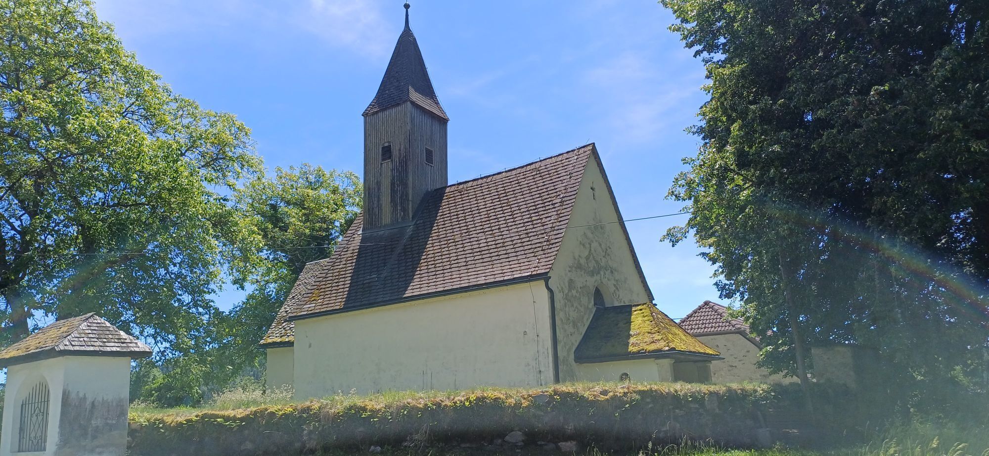
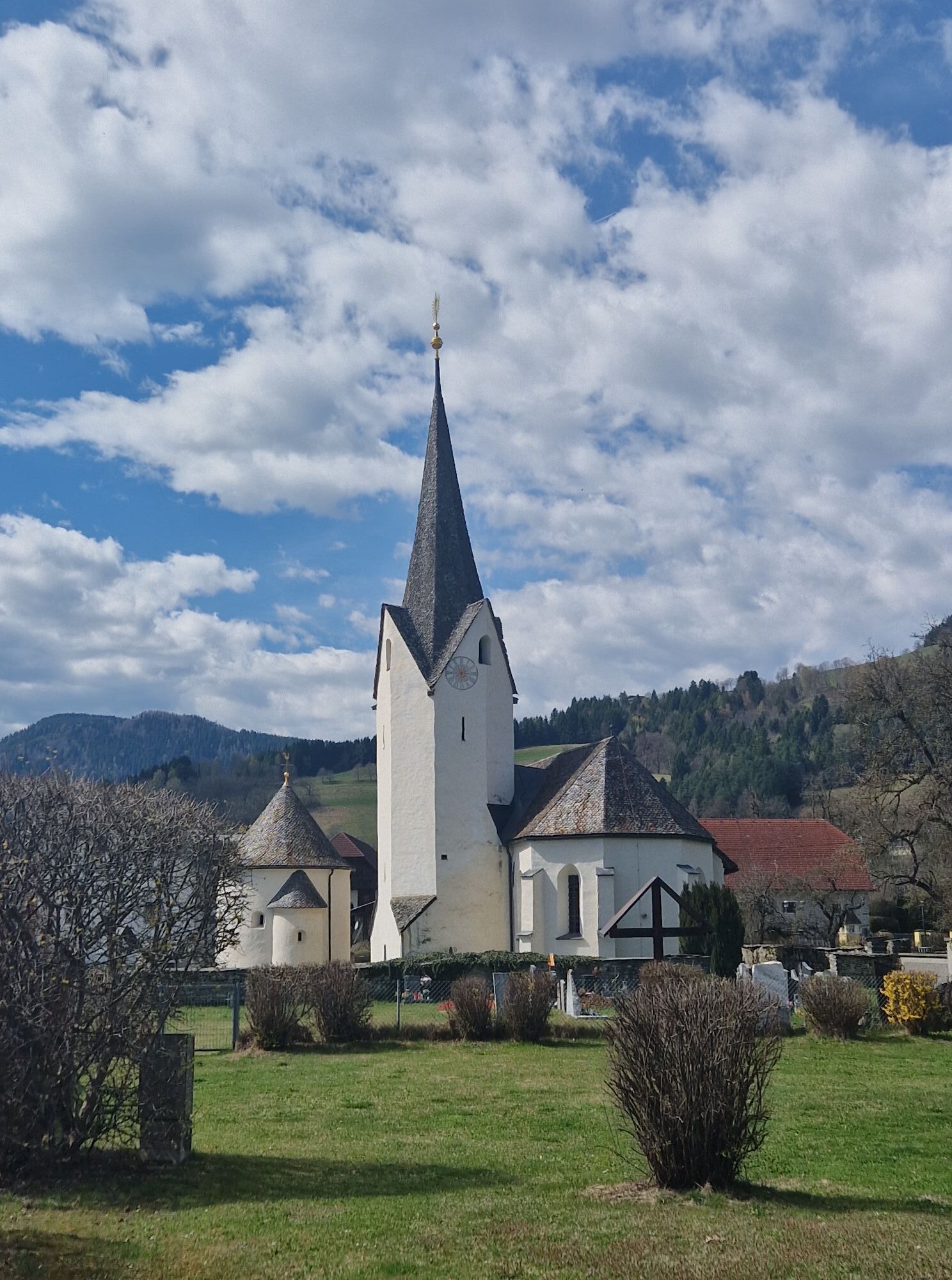
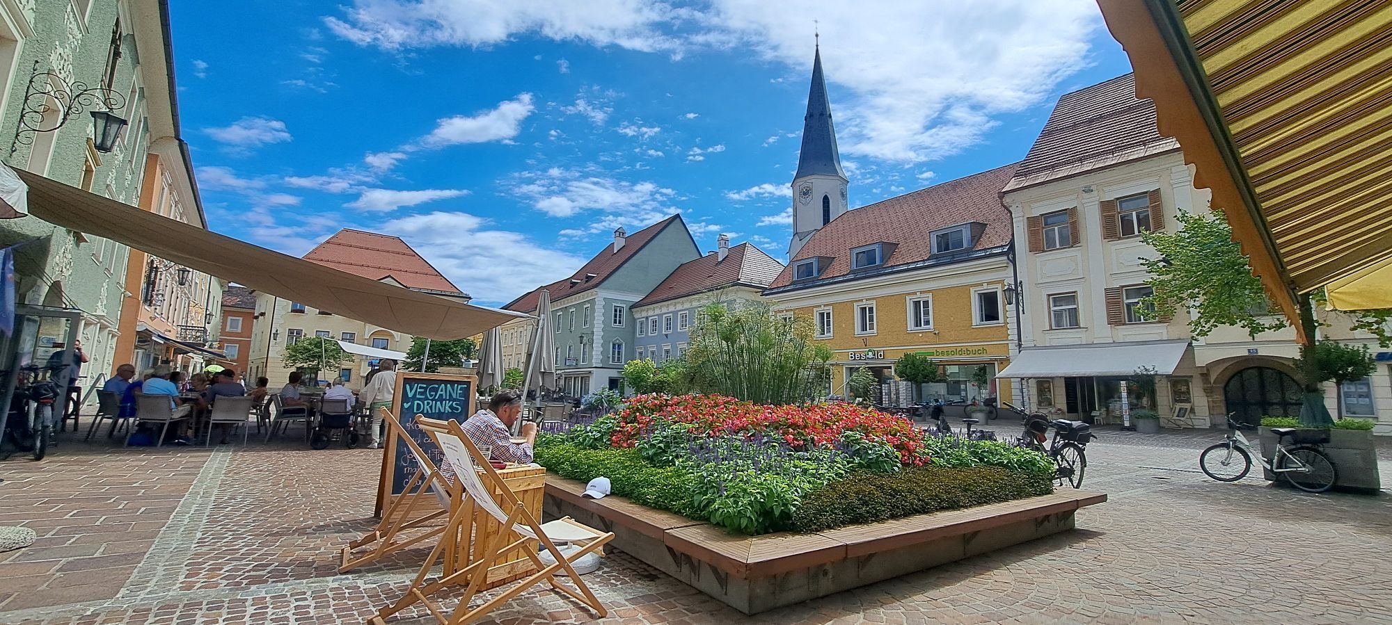
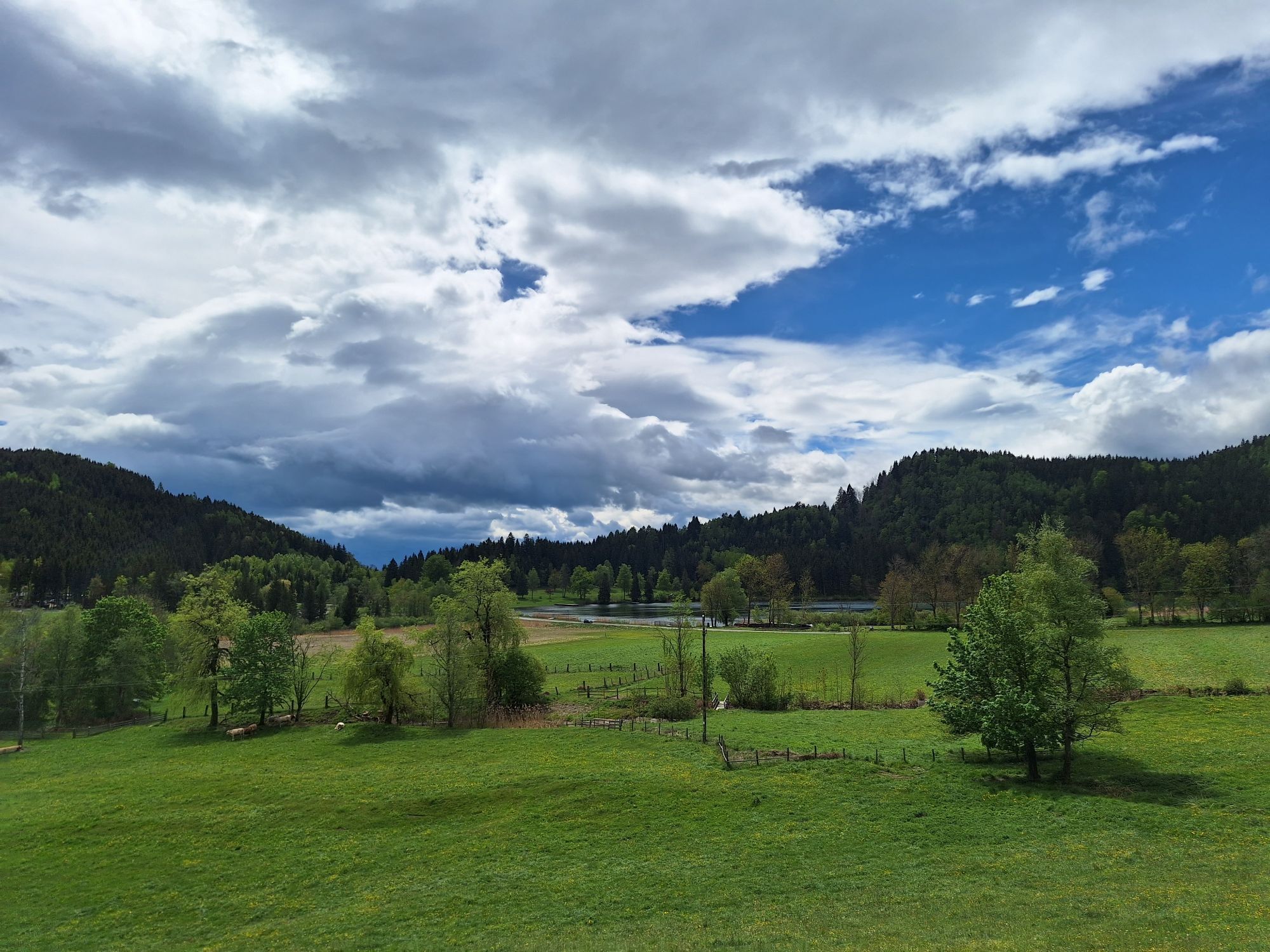
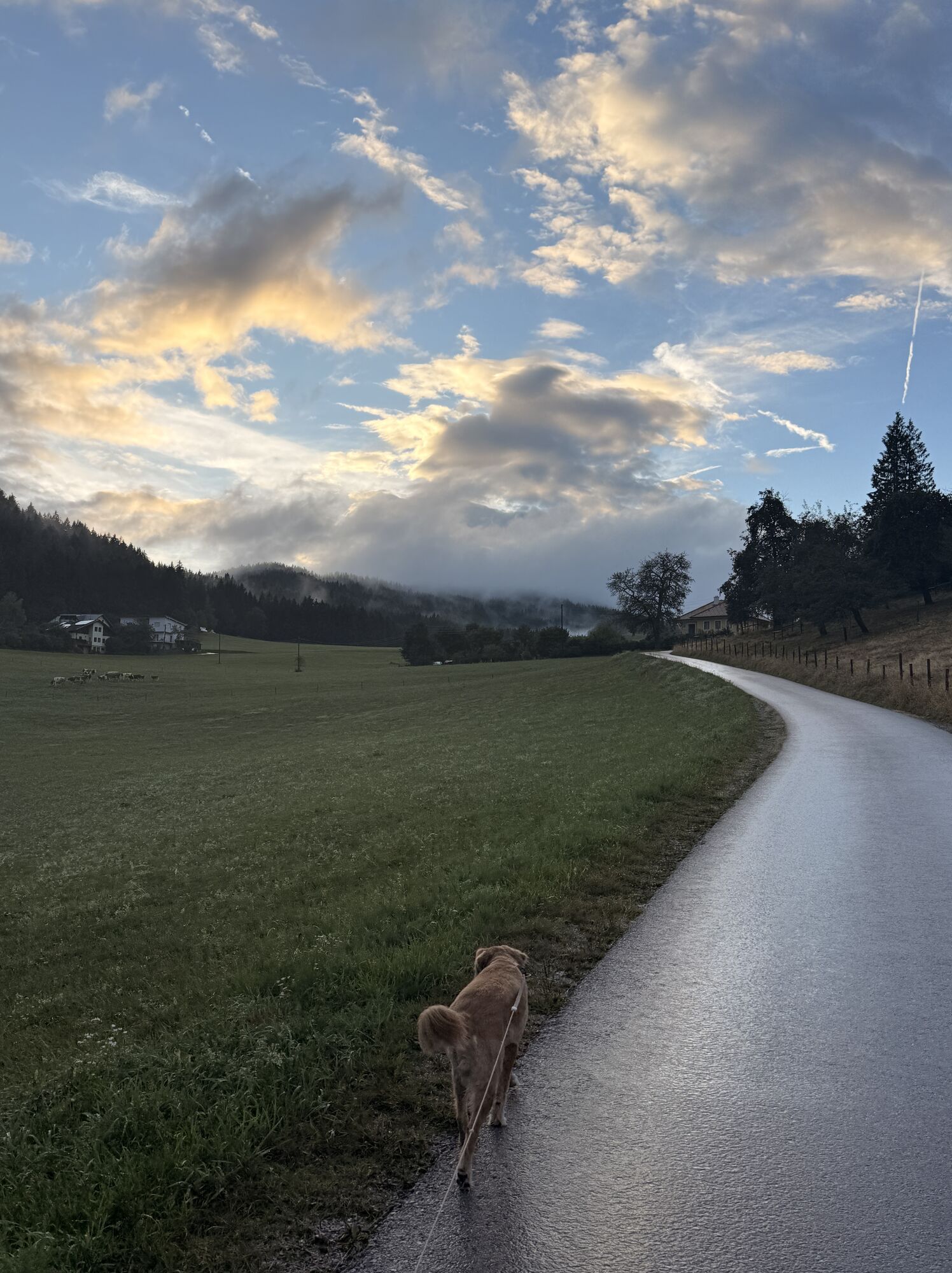
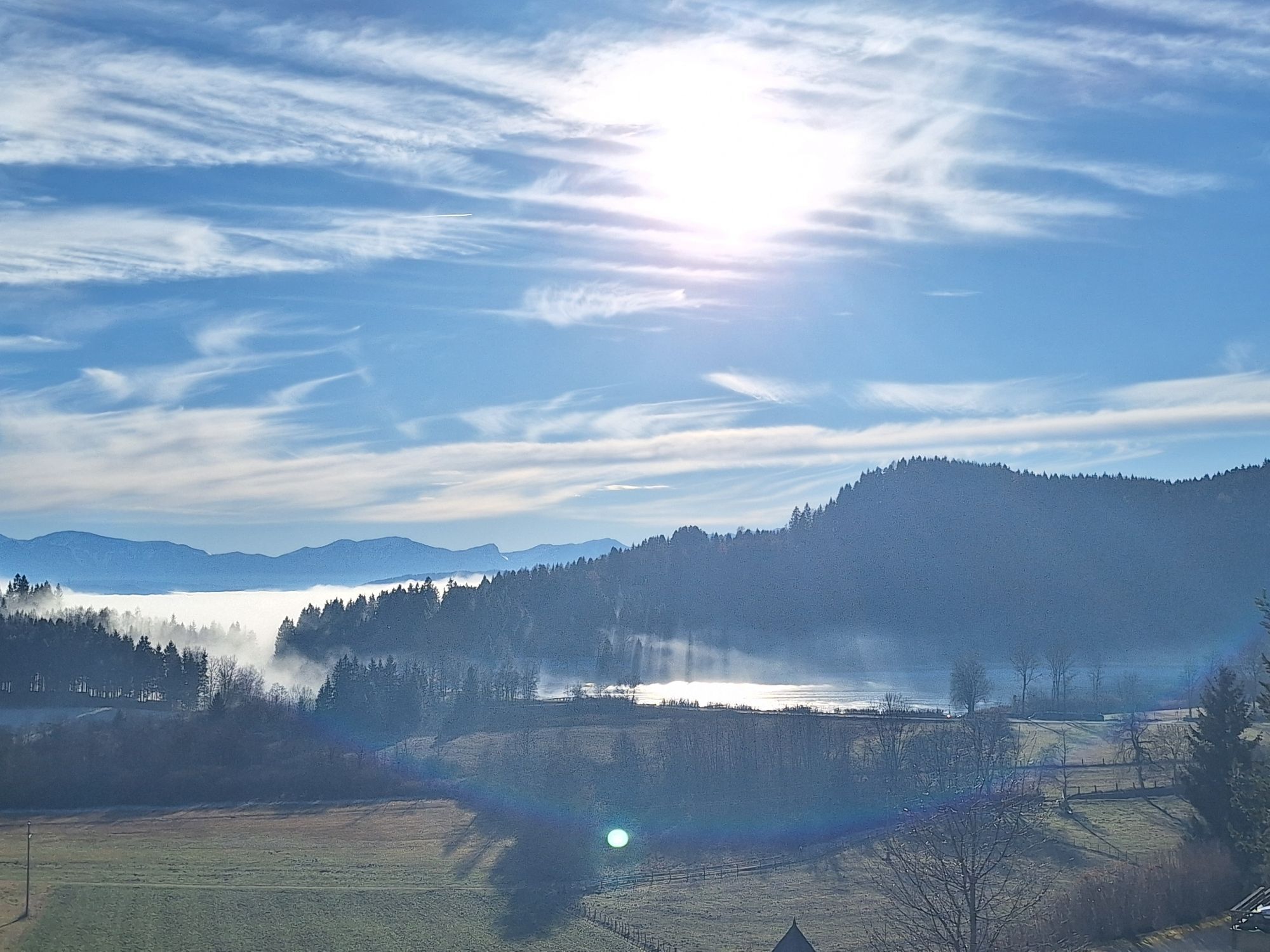
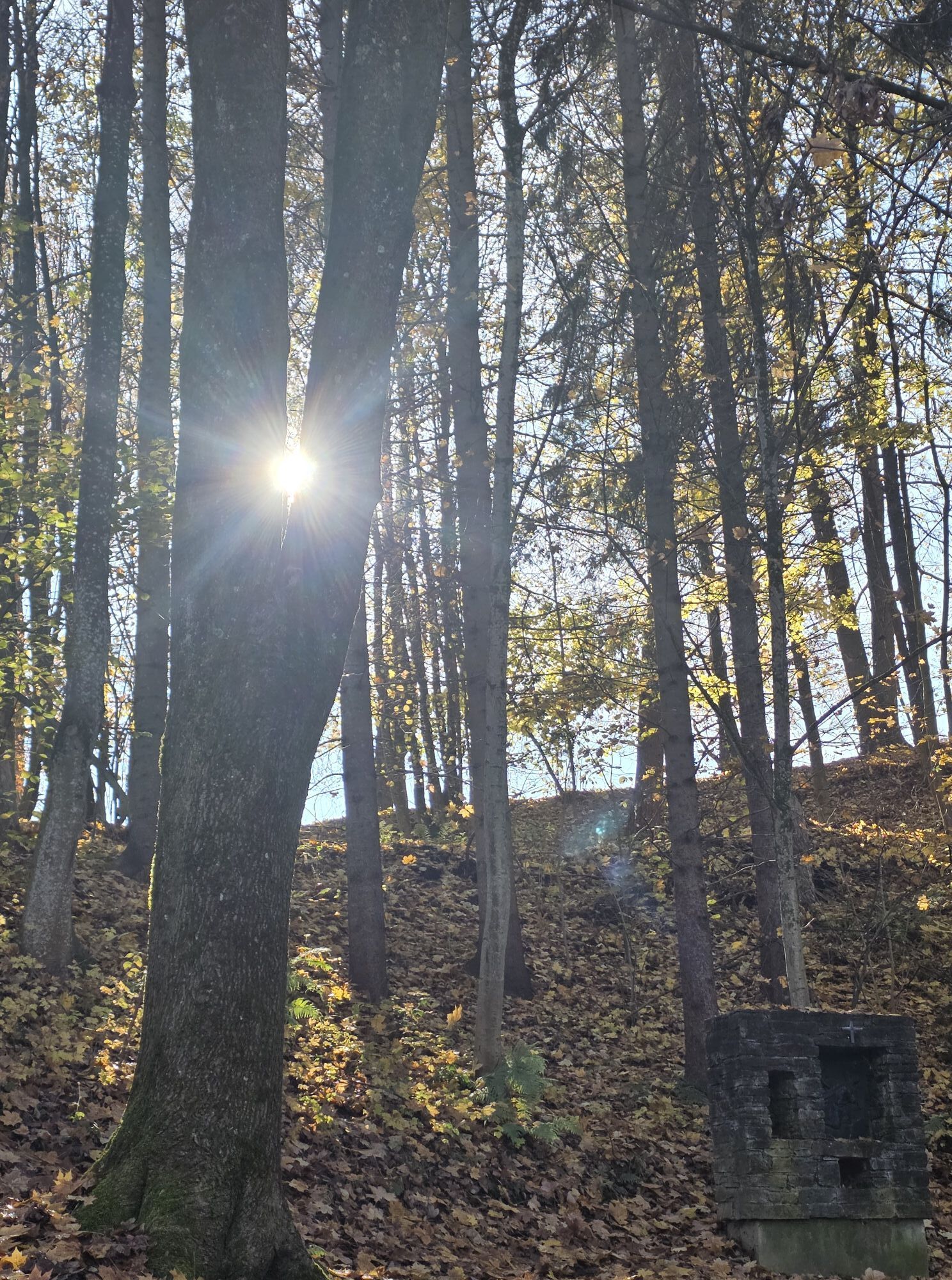
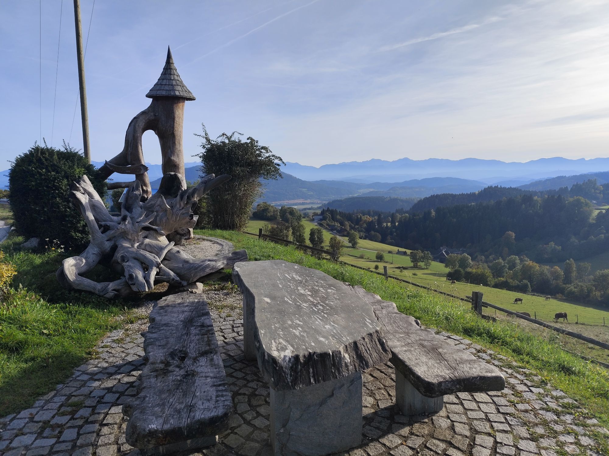
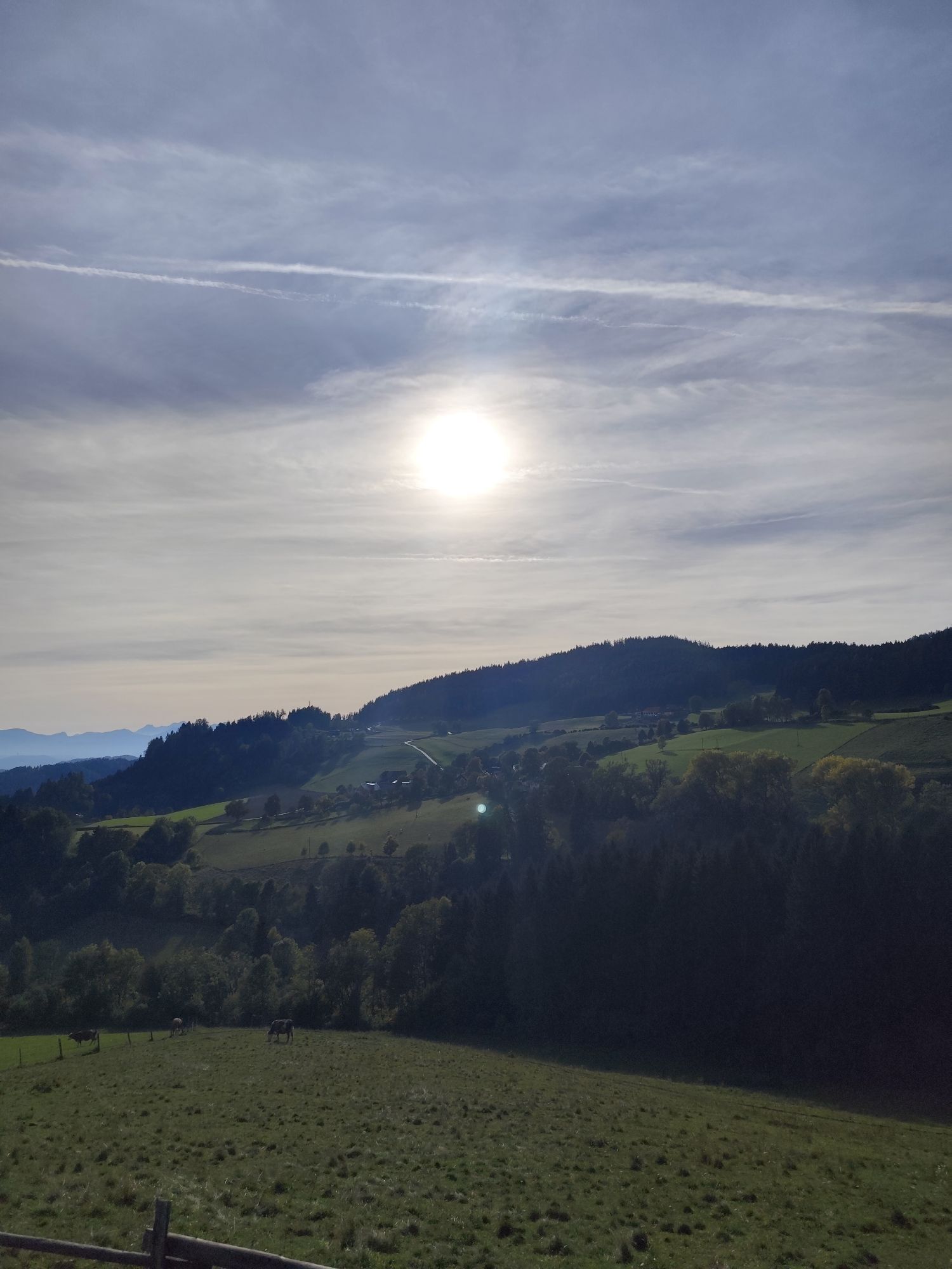

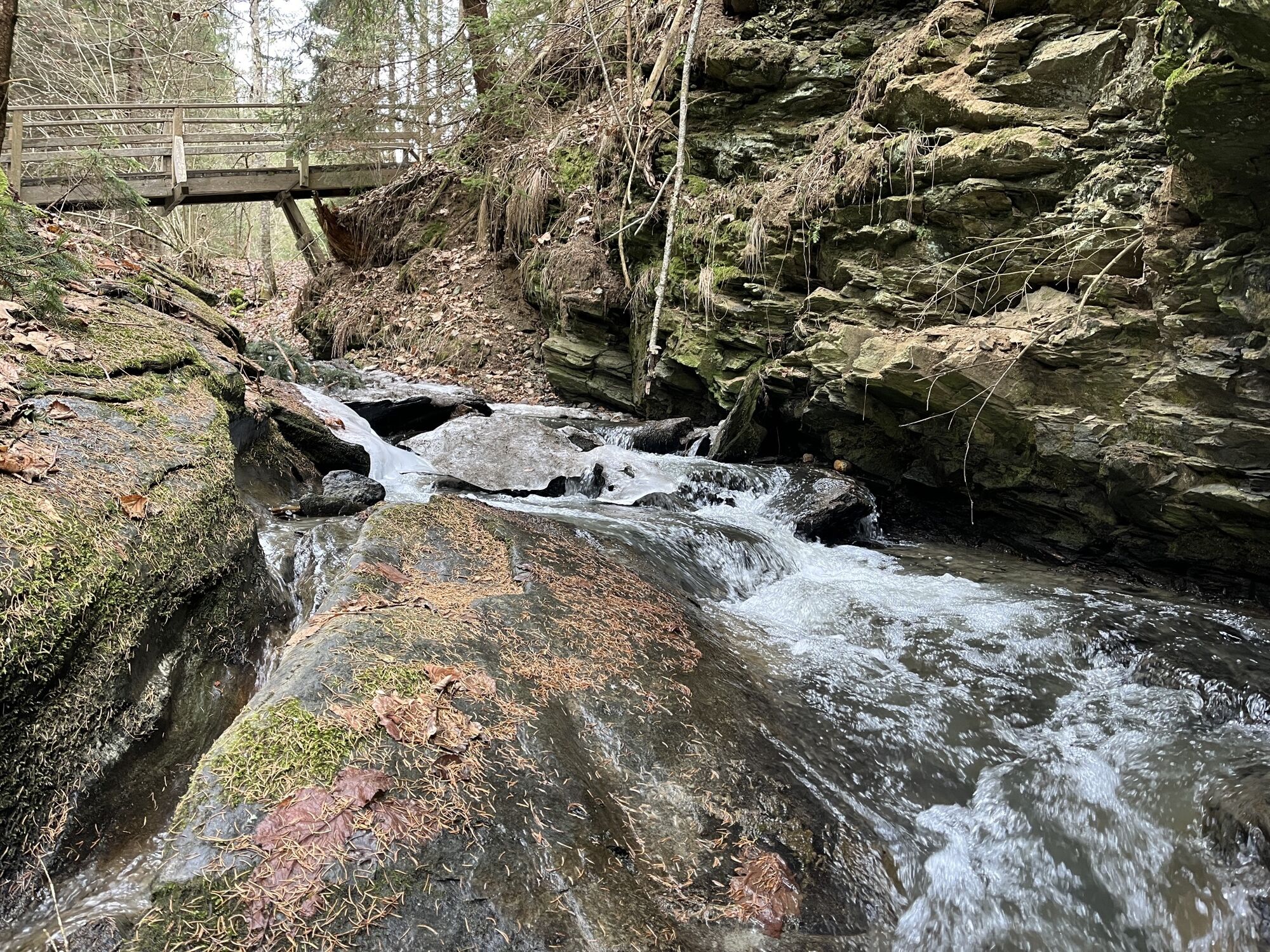
The road bike route in Carinthia starts and ends in St. Veit an der Glan and leads through a picturesque and varied region.
From St. Veit, head southwest to Liebenfels. This first, gently hilly section...
The road bike route in Carinthia starts and ends in St. Veit an der Glan and leads through a picturesque and varied region.
From St. Veit, head southwest to Liebenfels. This first, gently hilly section offers beautiful views of mountains and fields with moderate traffic. Further to Steuerberg, the route becomes hillier and more demanding, with many climbs through dense forests and open fields.
From Steuerberg, the route leads to Goggaussee, a small, idyllic lake suitable for a short break. Afterwards, it continues to St. Urban, a holiday town with steeper climbs and magnificent views of the landscape.
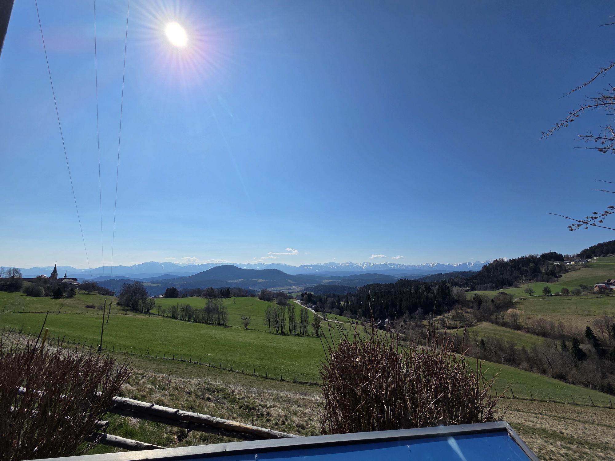
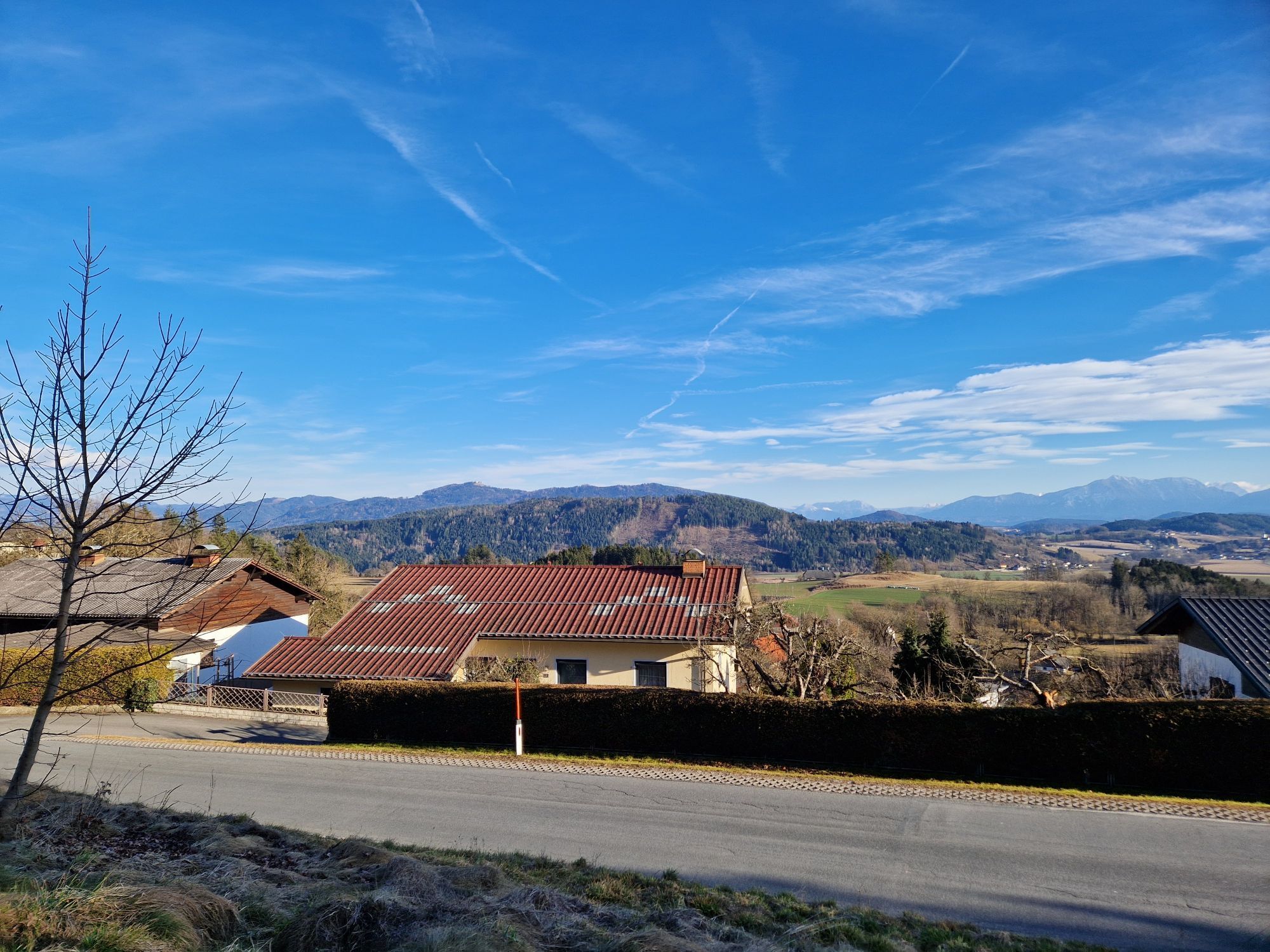
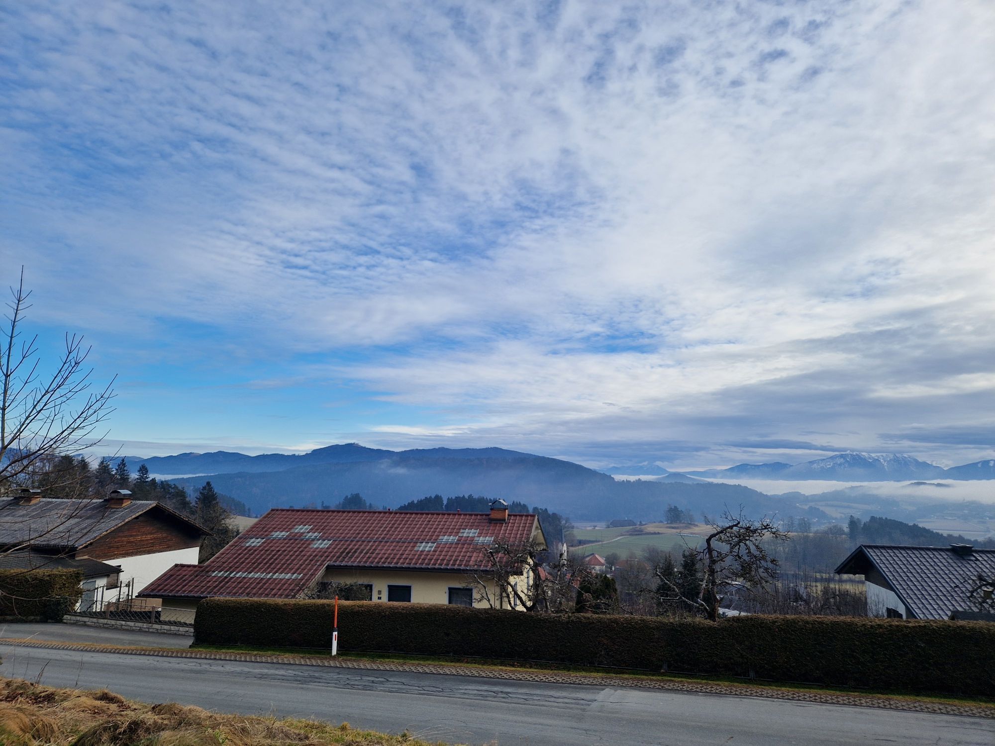
The route then passes through quiet rural areas to Glantschach, from where you have a good view of the surrounding mountains. The last section back to St. Veit is mostly downhill, which is pleasant after the efforts of the route.
Overall, the route is about 50 to 60 kilometers long, offers a good mix of climbs and descents, and is scenic as well as physically challenging. The roads are good and traffic is low, ideal for road cyclists.

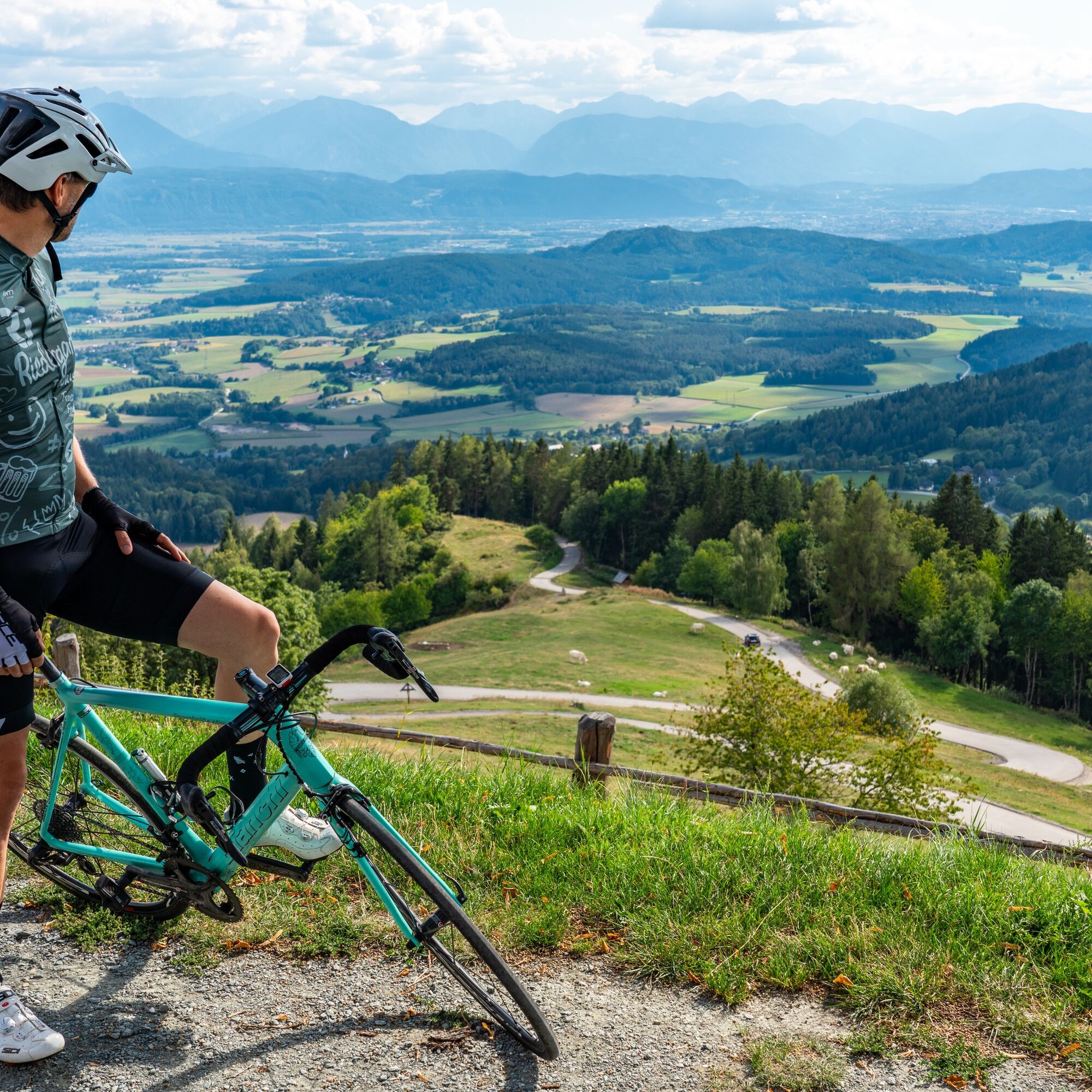


The short Goggausee road bike route starts and ends in St. Veit an der Glan and leads through a scenic and varied region.
You start in St. Veit an der Glan and head southwest on the L71 (Sankt Veiter Straße) towards Liebenfels. This first section is gently hilly and offers beautiful views of fields and mountains, with moderate traffic.
From Liebenfels, continue on the B94 (Gurkstraße) heading south and then on the L69 (Steuerberger Straße) to Steuerberg. The route becomes hillier and more demanding, with several climbs passing through dense forests and open fields.
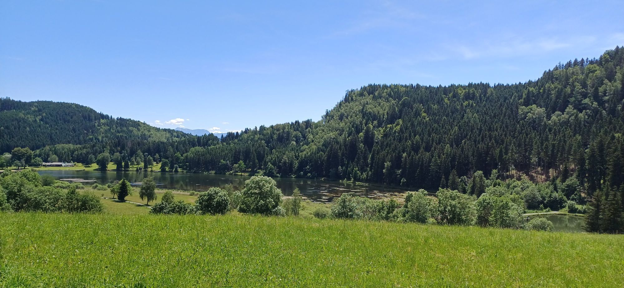
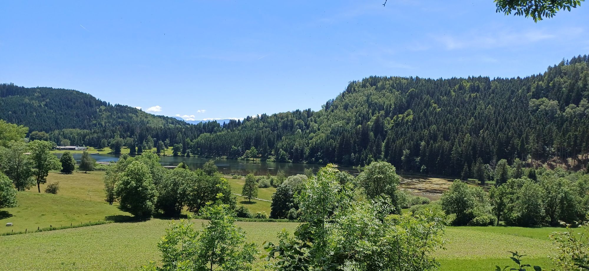
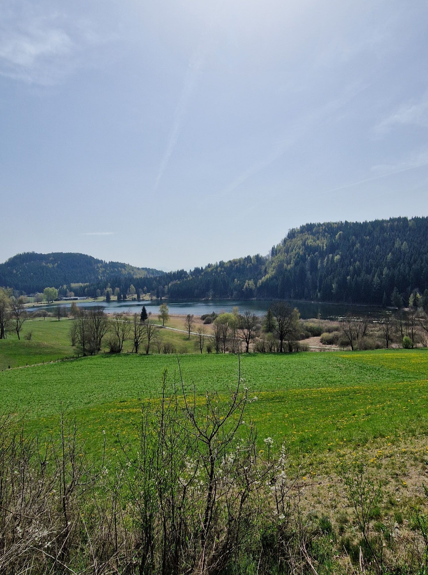
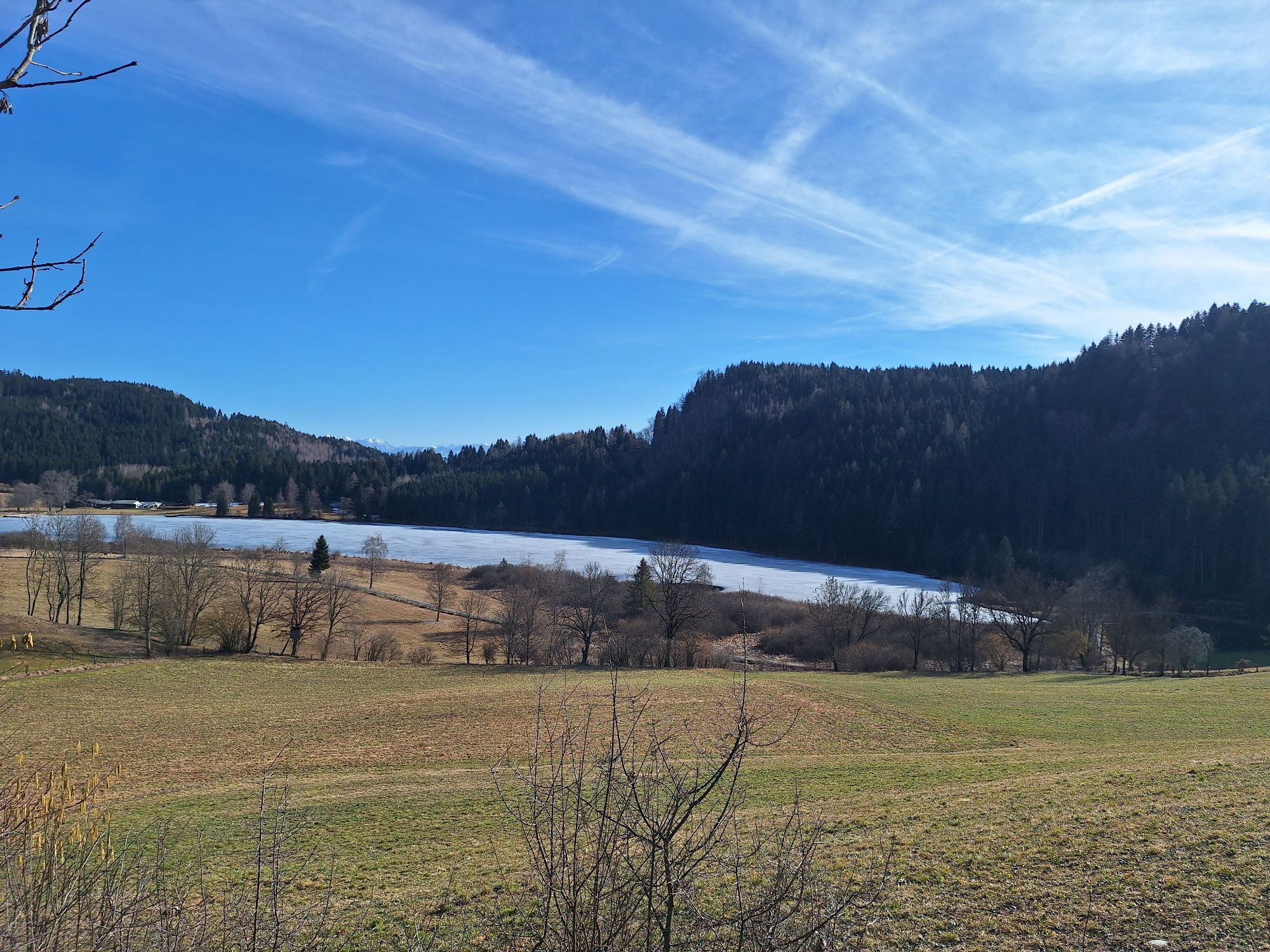
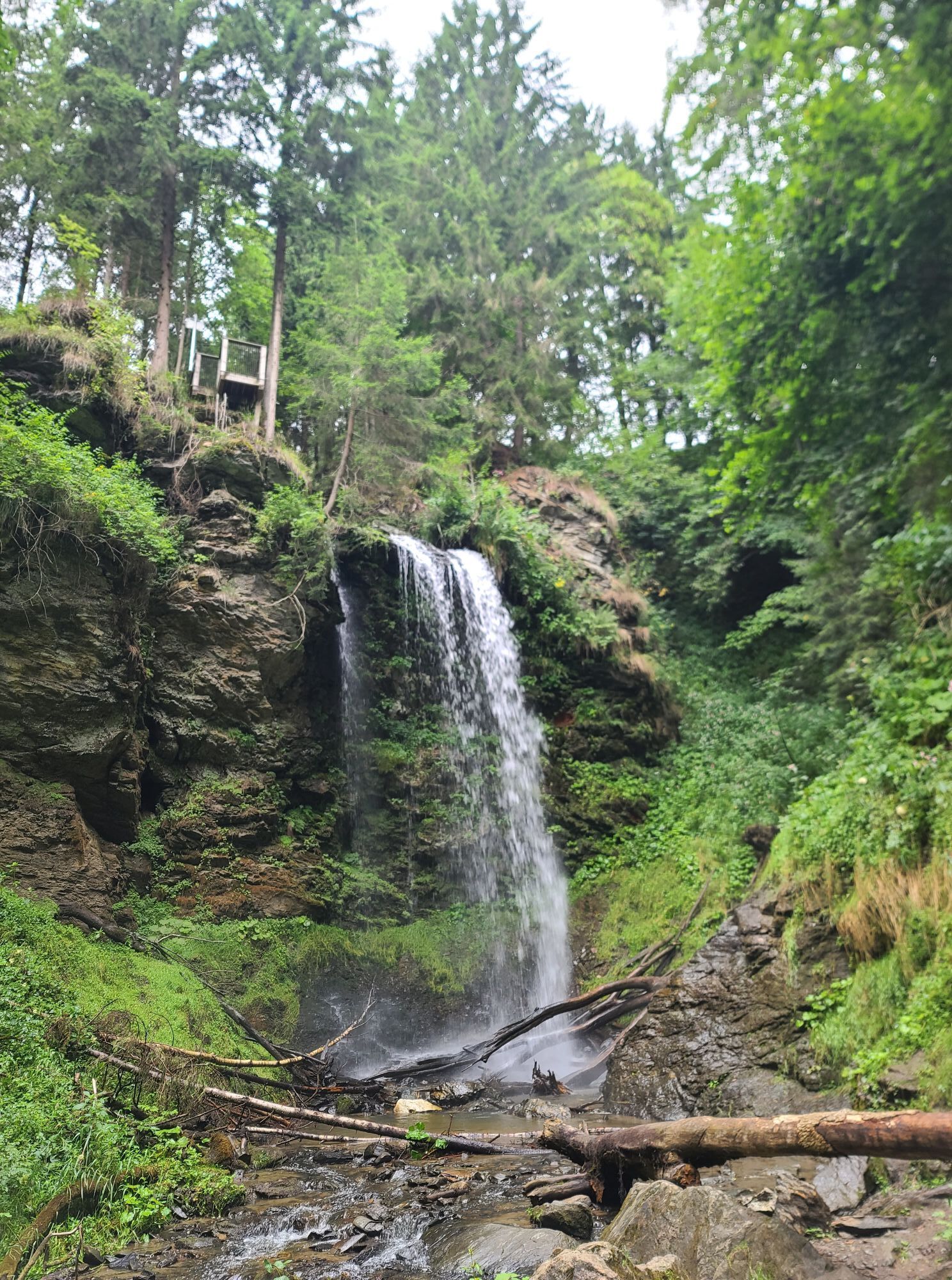
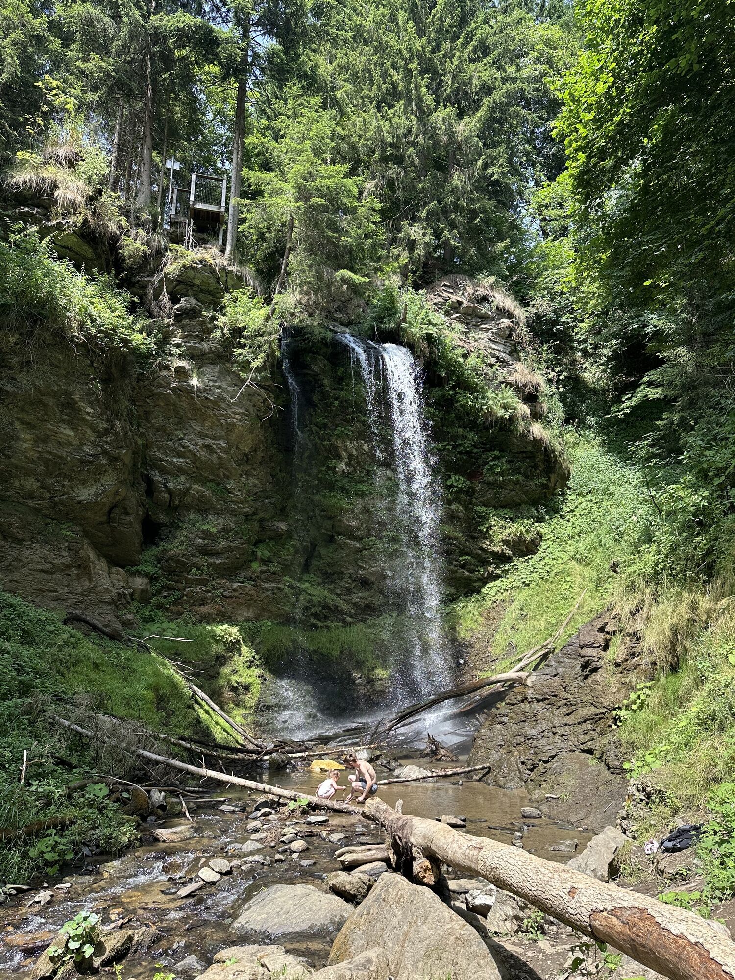
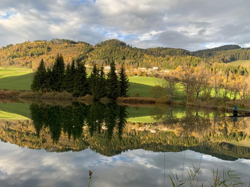
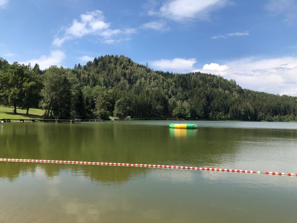
After Steuerberg, continue northeast on the L69 and turn off to Goggaussee. This section is especially scenic, as it passes through forests and along small lakes. Goggaussee is an ideal spot for a short break.
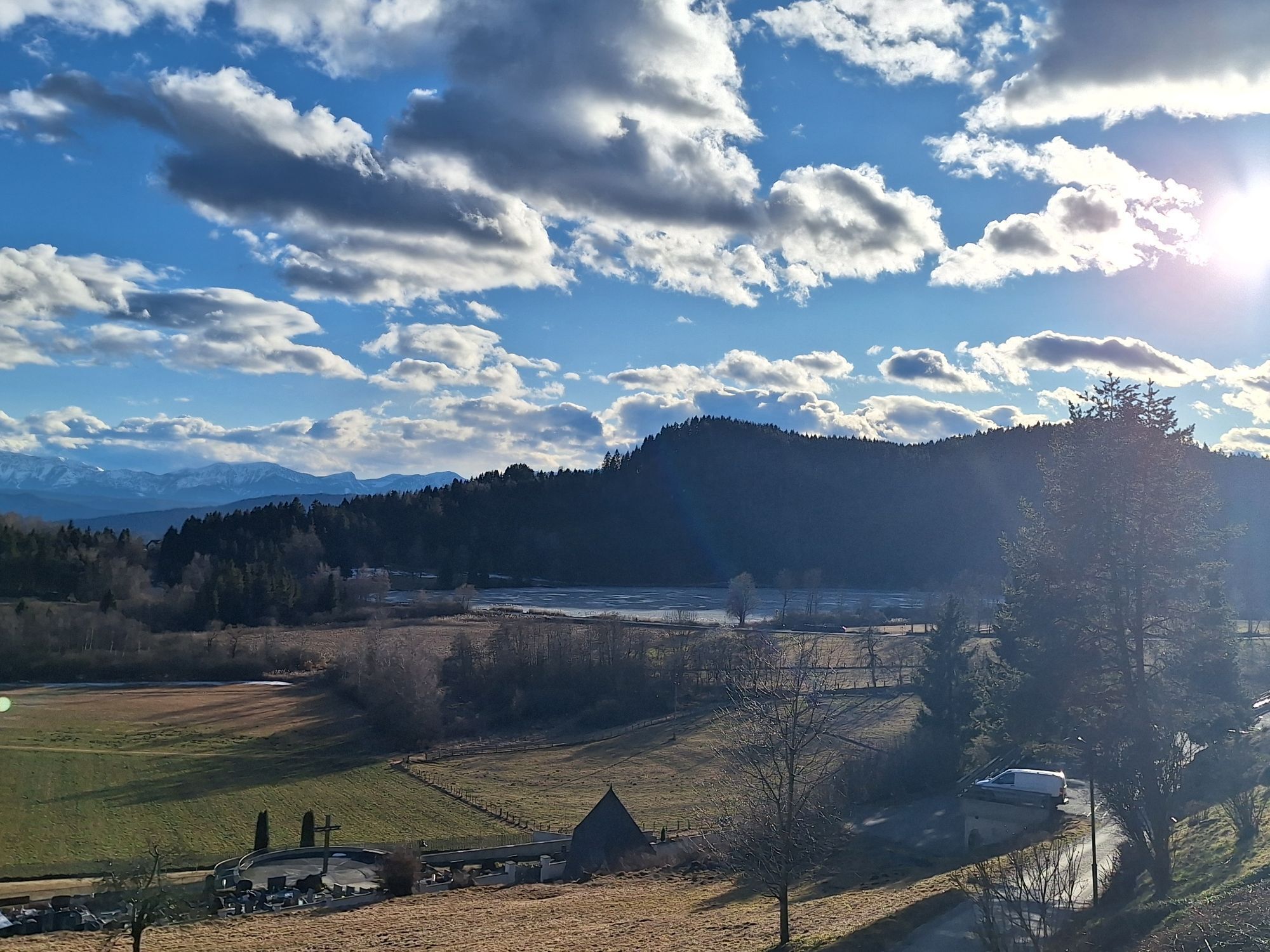
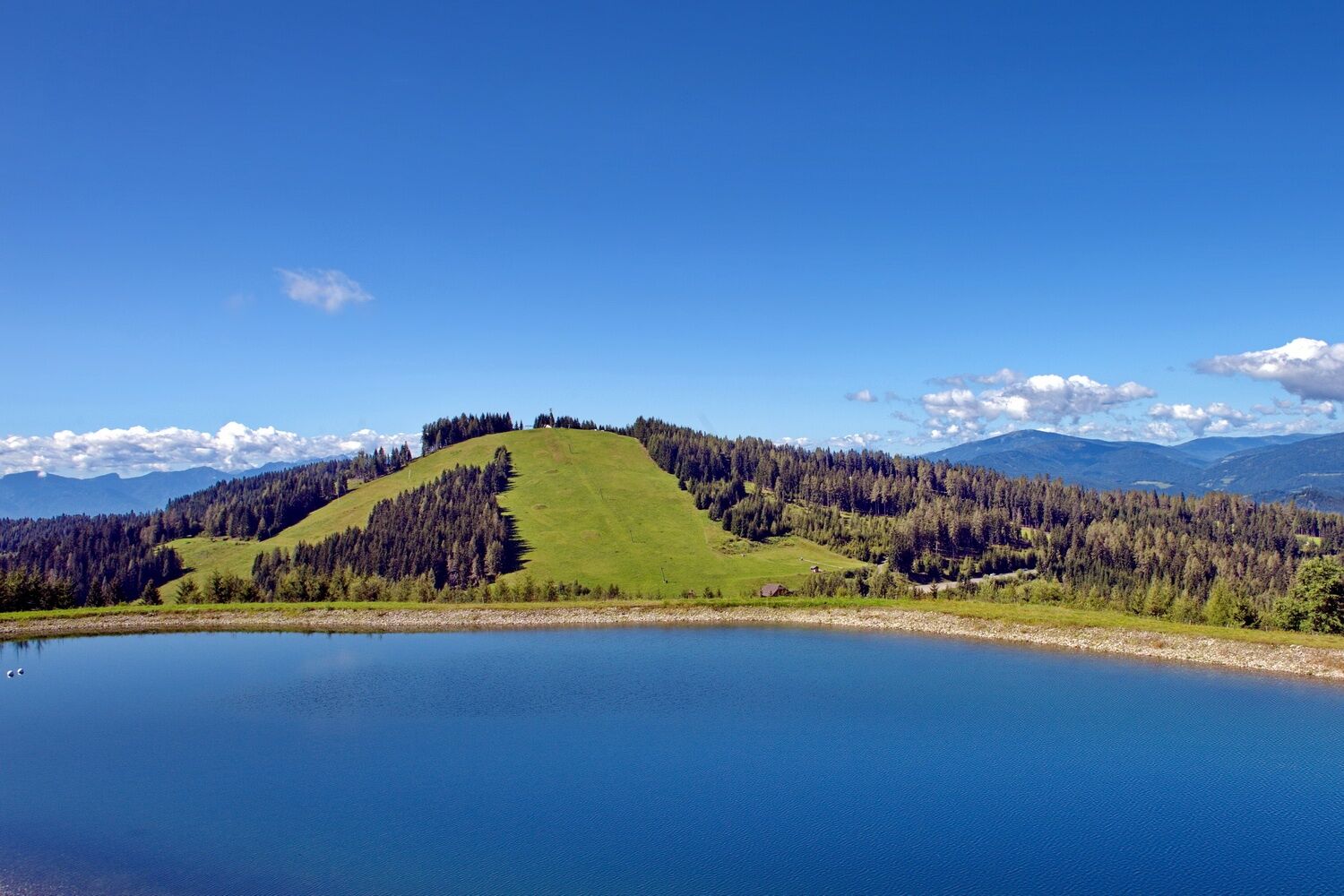
From there, return to the L69 and continue to St. Urban. Here you will face steeper climbs, rewarded with magnificent views of the Carinthian landscape. St. Urban is located at Urbansee, a popular holiday destination.
The route then continues on the L69 heading south before you turn to Glantschach. The quiet rural roads with little traffic offer beautiful views of the surrounding mountains and valleys.
The final section of the route leads from Glantschach back to St. Veit an der Glan. This part is mostly downhill, which is pleasant after the previous efforts. You finish the route in St. Veit and can ride through the picturesque old town.
comfortable clothing, suitable bike, provisions, sufficient water
pay attention to the weather; inform someone where you are going and when you will be back; charged mobile phone
use your route planner:
from the north: via Leoben – Judenburg – Neumarkt – St. Veit an der Glan
from the east: via Völkermarkt – Klagenfurt – St. Veit an der Glan
from the south: via Klagenfurt – St. Veit an der Glan
from the west: via Villach – Klagenfurt – St. Veit an der Glan
Arrival by train: St. Veit an der Glan stop (bicycle transport possible, reservation required for bicycles, detailed information at: www.oebb.at
ÖBB timetable: https://fahrplan.oebb.at/webapp/#!P|TP!H|704158
plenty of parking available: parking garages, short-term parking zones
4
Old Town St. Veit/Glan
Museum St. Veit/Glan
Goggausee
Water Trail Liebenfels

Kamery internetowe z trasy
Uzyskaj wgląd
Zawsze na żywo z ponad 9 500 kamer internetowych. bergfex Jako użytkownik Pro, możesz teraz zobaczyć odpowiednie kamery internetowe dla wielu wycieczek w aplikacji wycieczki od. Pozwala to na bezpośredni podgląd aktualnych warunków.
Popularne wycieczki w okolicy
-
4,6
Hoher Gallin route
średniWędrówka 7,09 km -
4,8
Abenteuer-Wasser-Weg
średniWędrówka 9,13 km -
4,7
Vierbergelauf
średniTrasa pielgrzymki 47,6 km -
4,1
Slow Trail Bleistätter Moor (Variant A)
światłoWędrówka 7,22 km -
4,0
Lake Ossiacher See cycle path – R2 & R2A
średniJazda na rowerze 28,2 km -
4,9
Slow Trail Maltschacher See - long route
światłoTrasa tematyczna 7,04 km -
4,2
Hochrindl - Almhütten-Wanderung (AGW Almgenussweg ) um den Kegel
światłoWędrówka 9,31 km -
4,0
Natural spectacle Tiebel springs - Himmelberg
Wędrówka 9,84 km -
4,4
Wanderung Hoher Gallin lt. Feldkirchner Stadtplan Weg Nr. 4
średniWędrówka 10,9 km -
4,6
Vier Gipfel, ein Wanderhimmel - Himmelberg
Wędrówka 22,9 km
Wędrówki i tropienie


Nie przegap ofert i inspiracji na następne wakacje
Twój adres e-mail została dodana do listy mailingowej.





