


Grossglockner High Alpine Road
Poziom trudności: 4


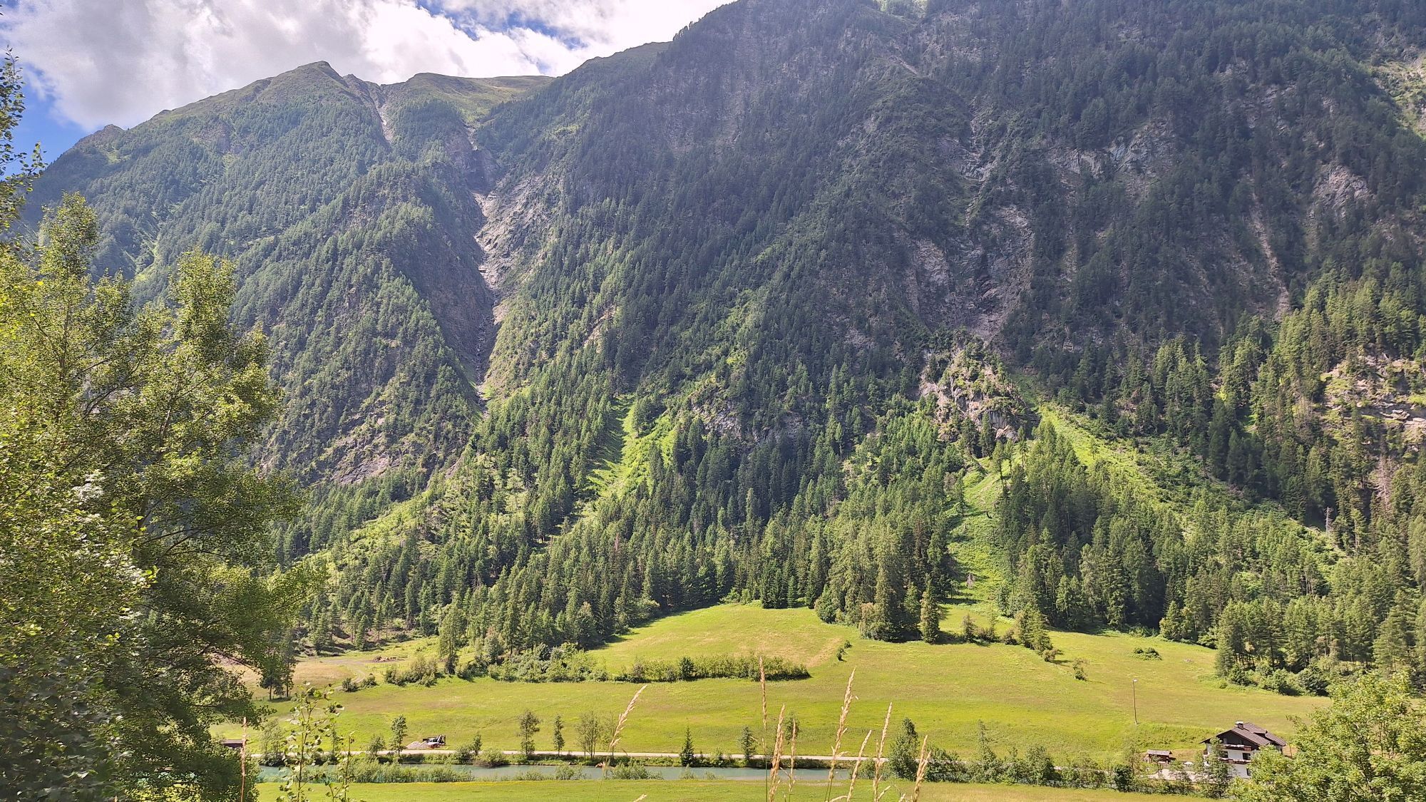
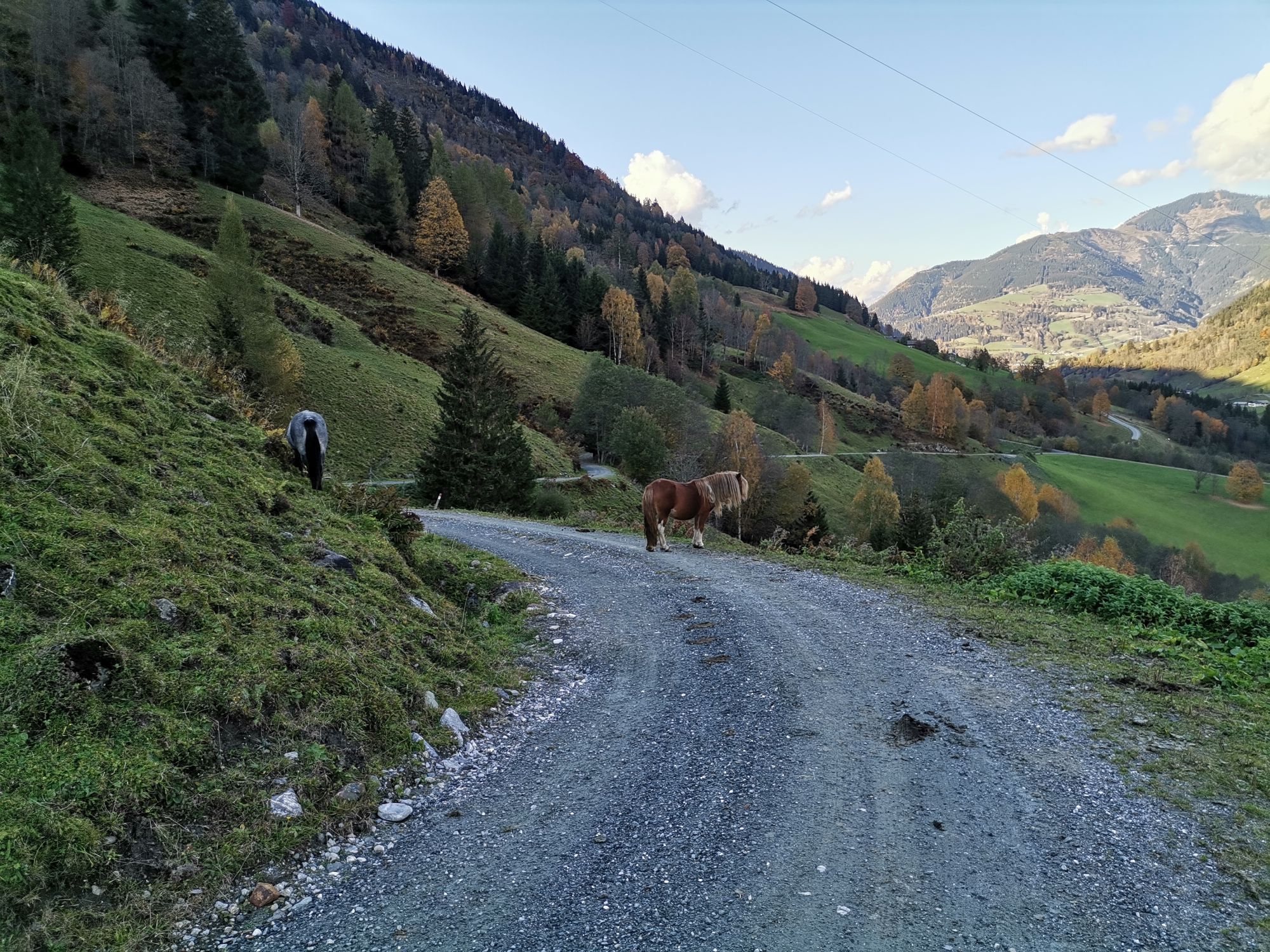
Starting from Winklern, the first approximately 20 km climb 300 m in altitude to Heiligenblut. Starting in Mallnitz, about 60 km must be covered to reach Heiligenblut. Here begins the Grossglockner High...
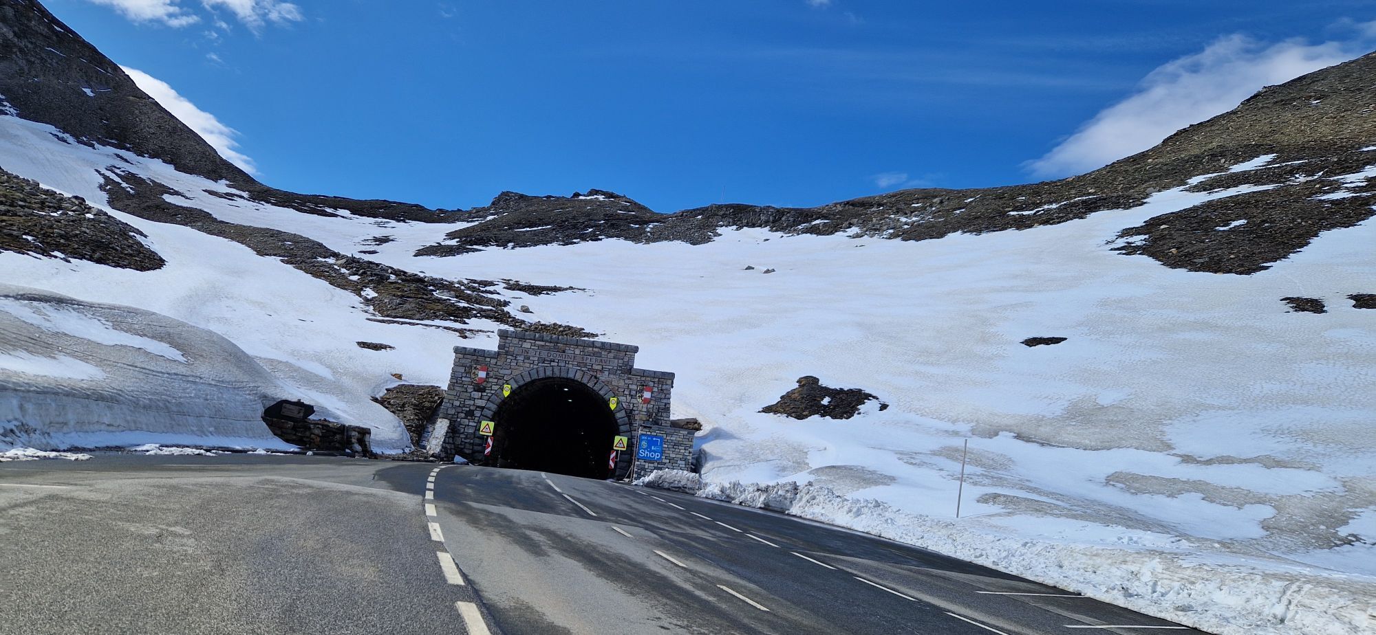
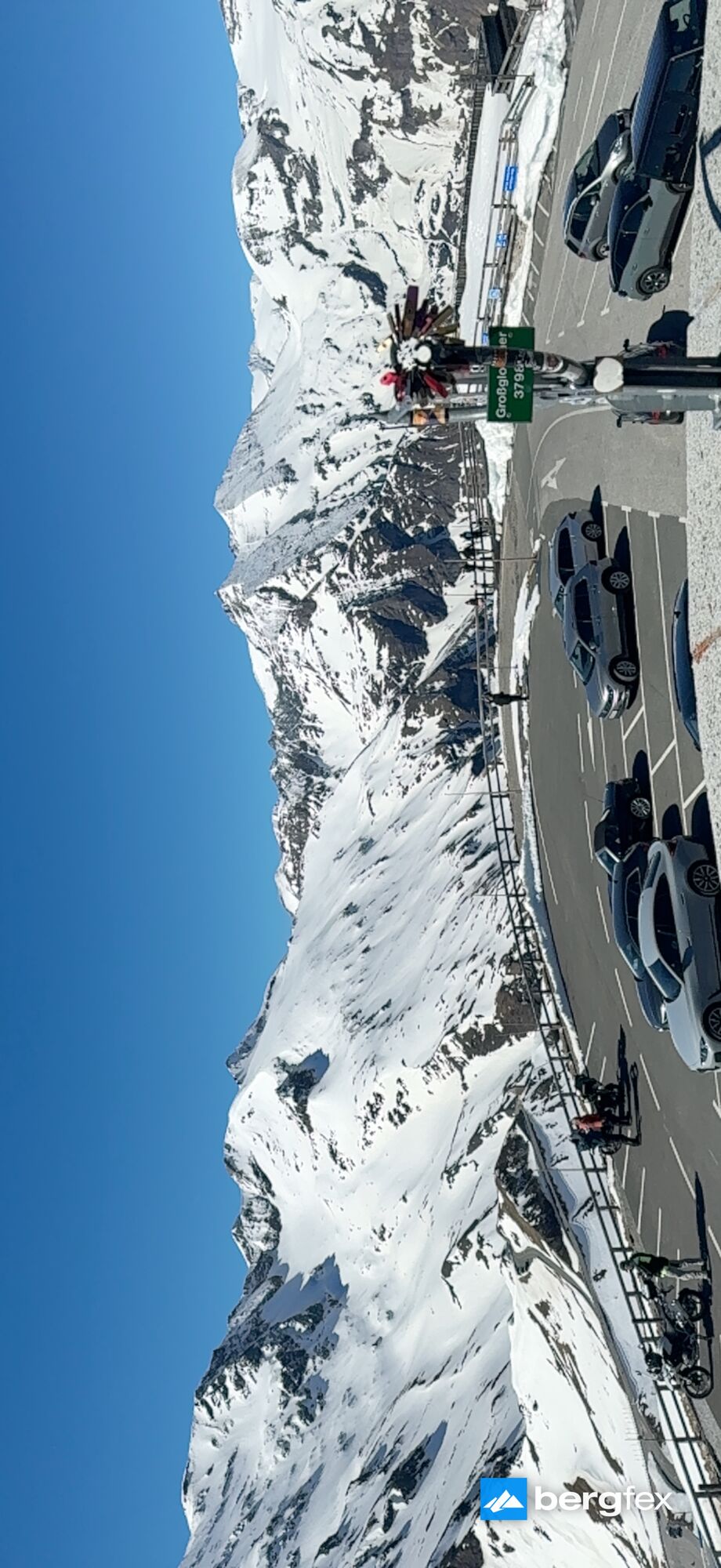
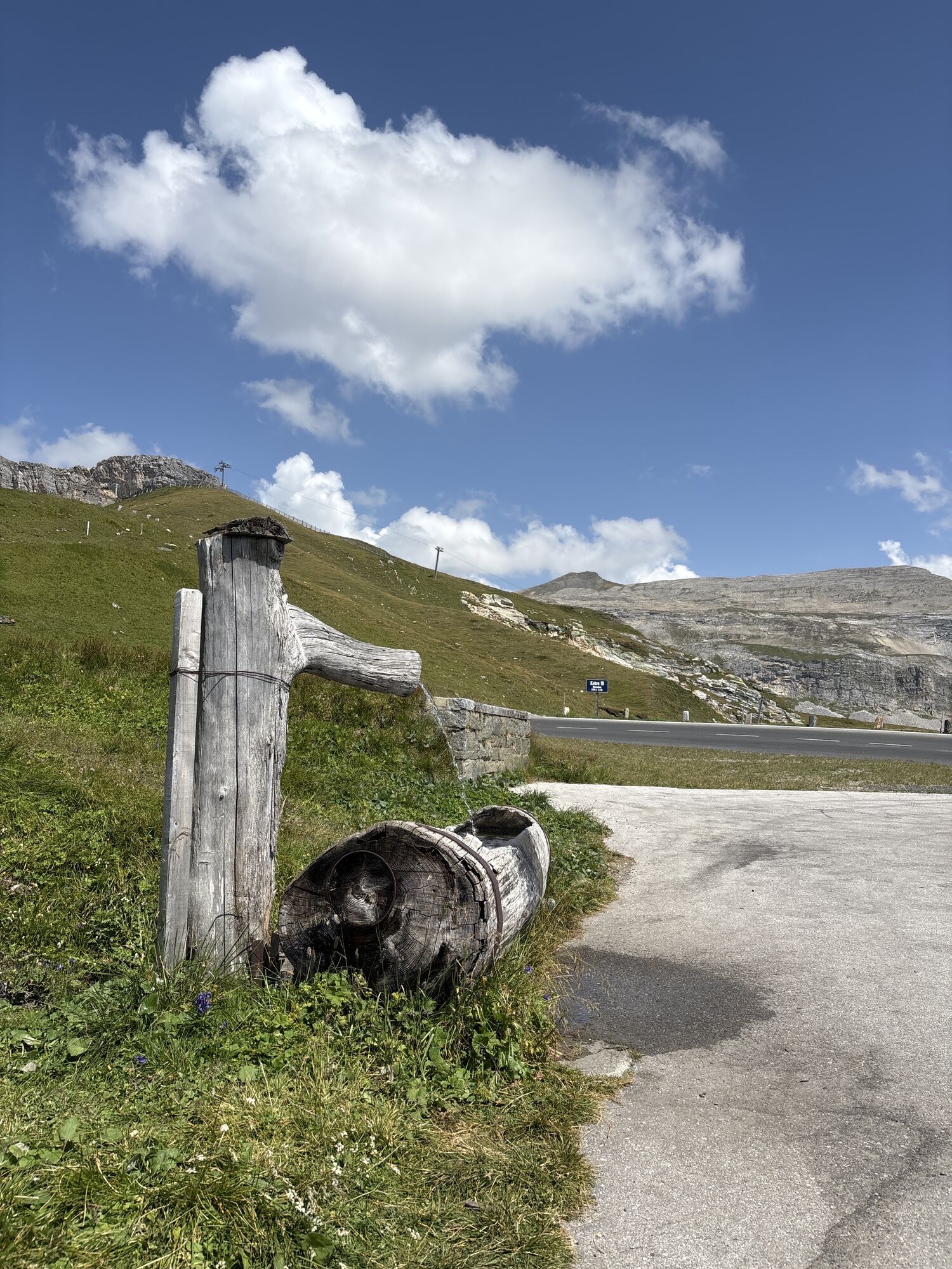
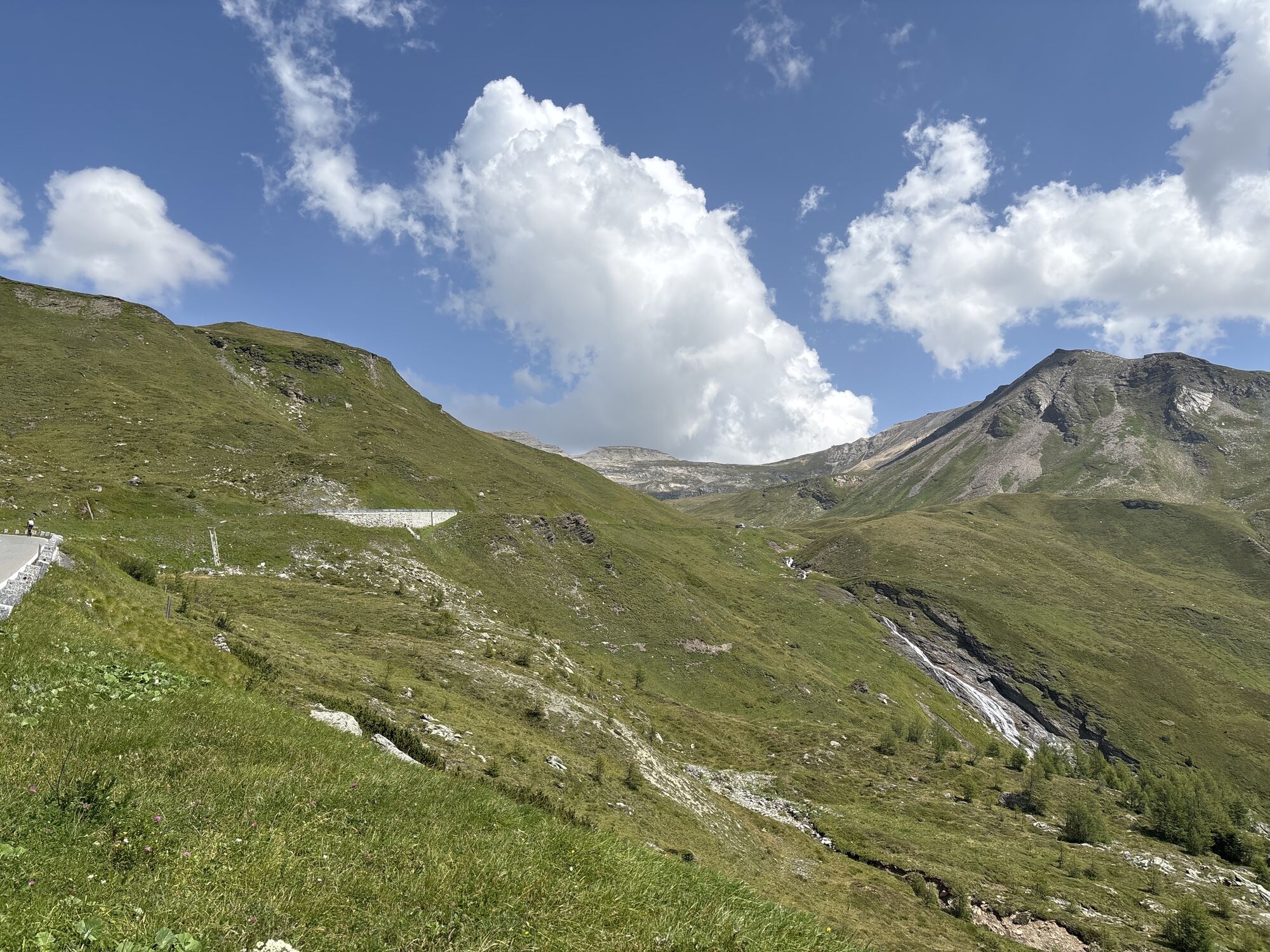
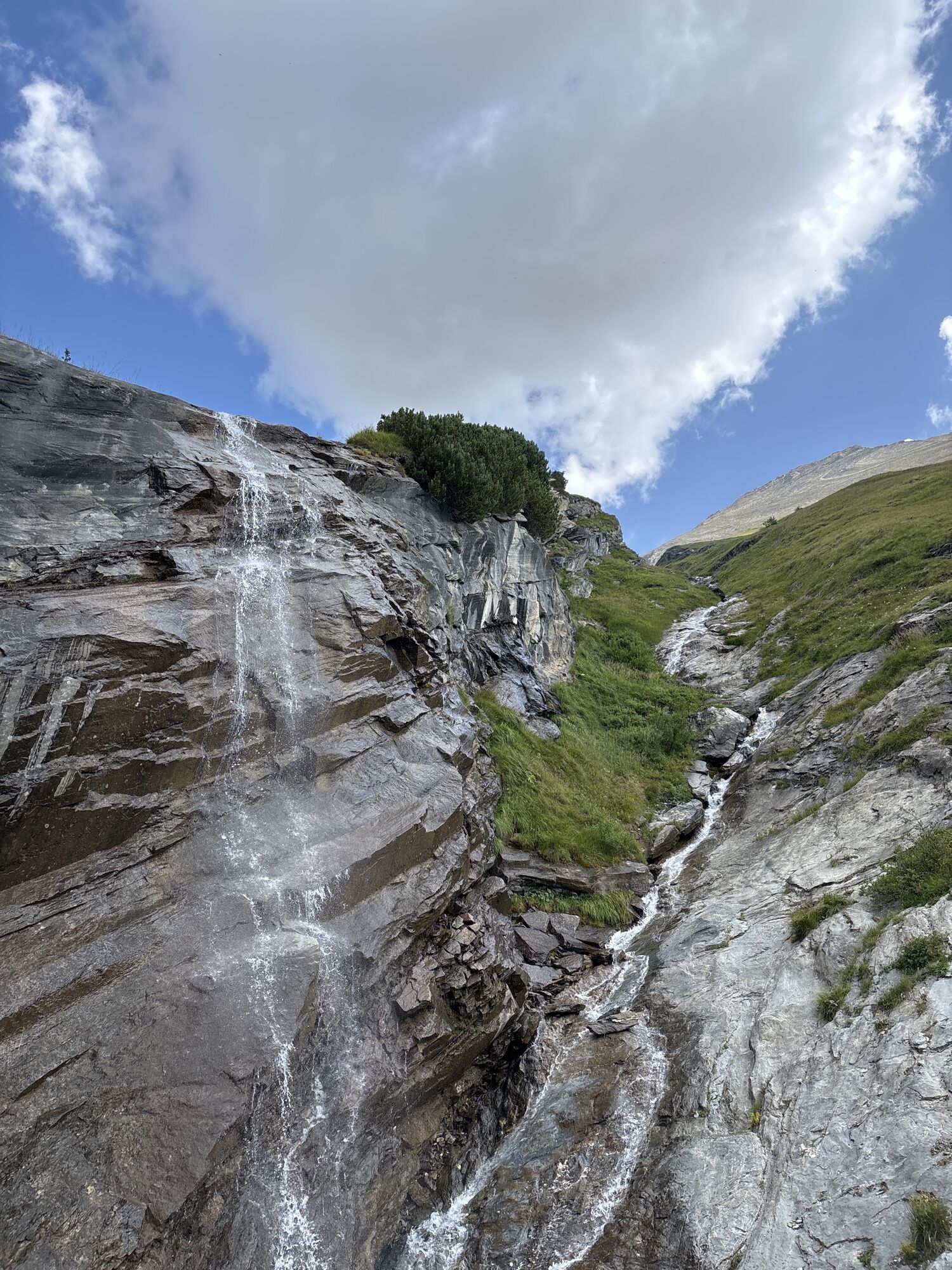
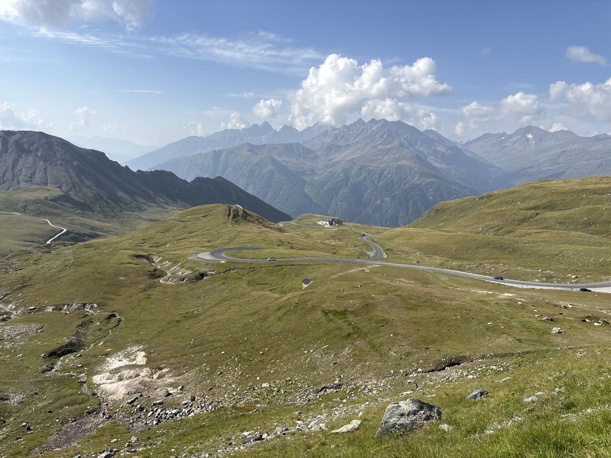
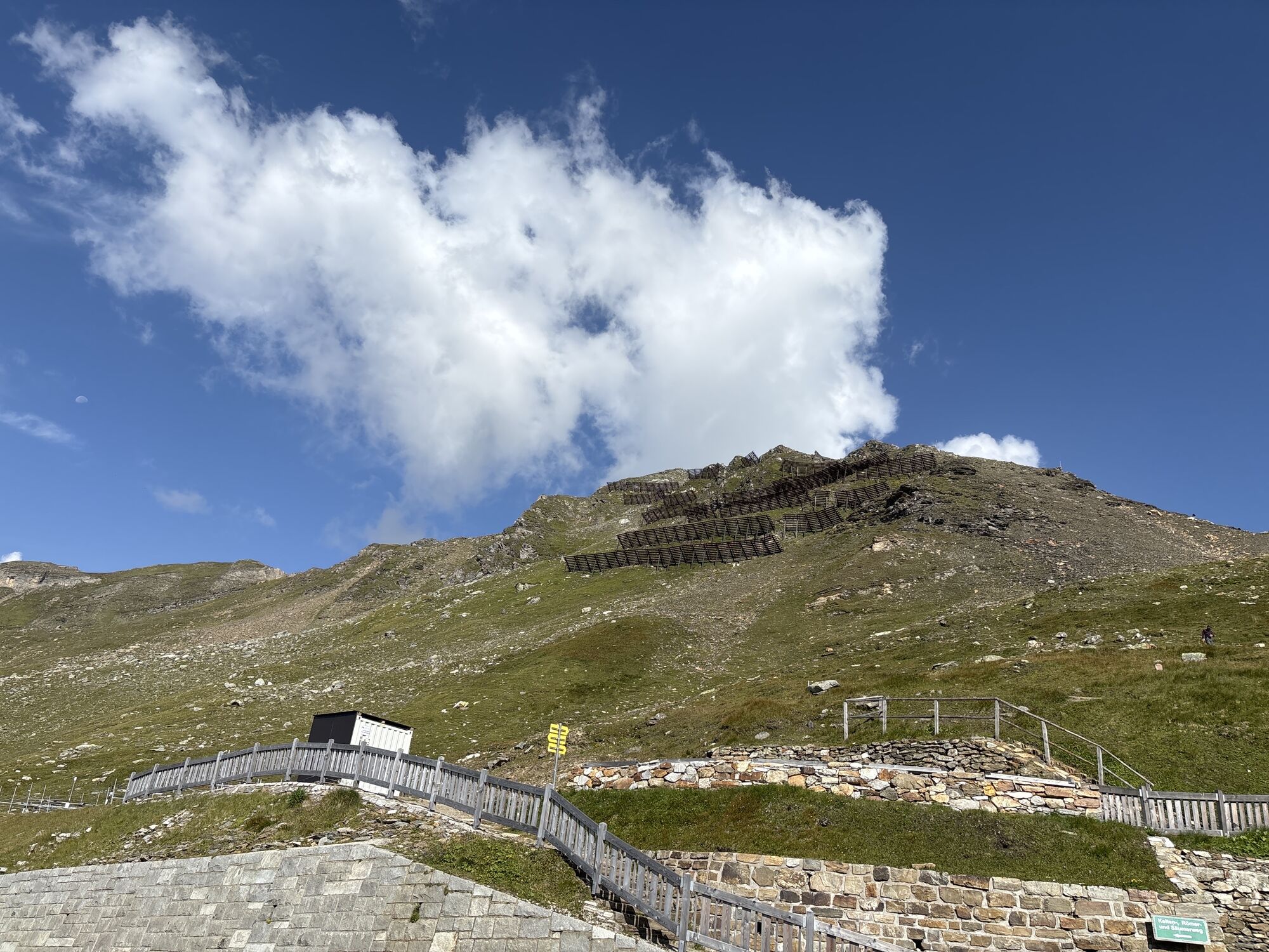
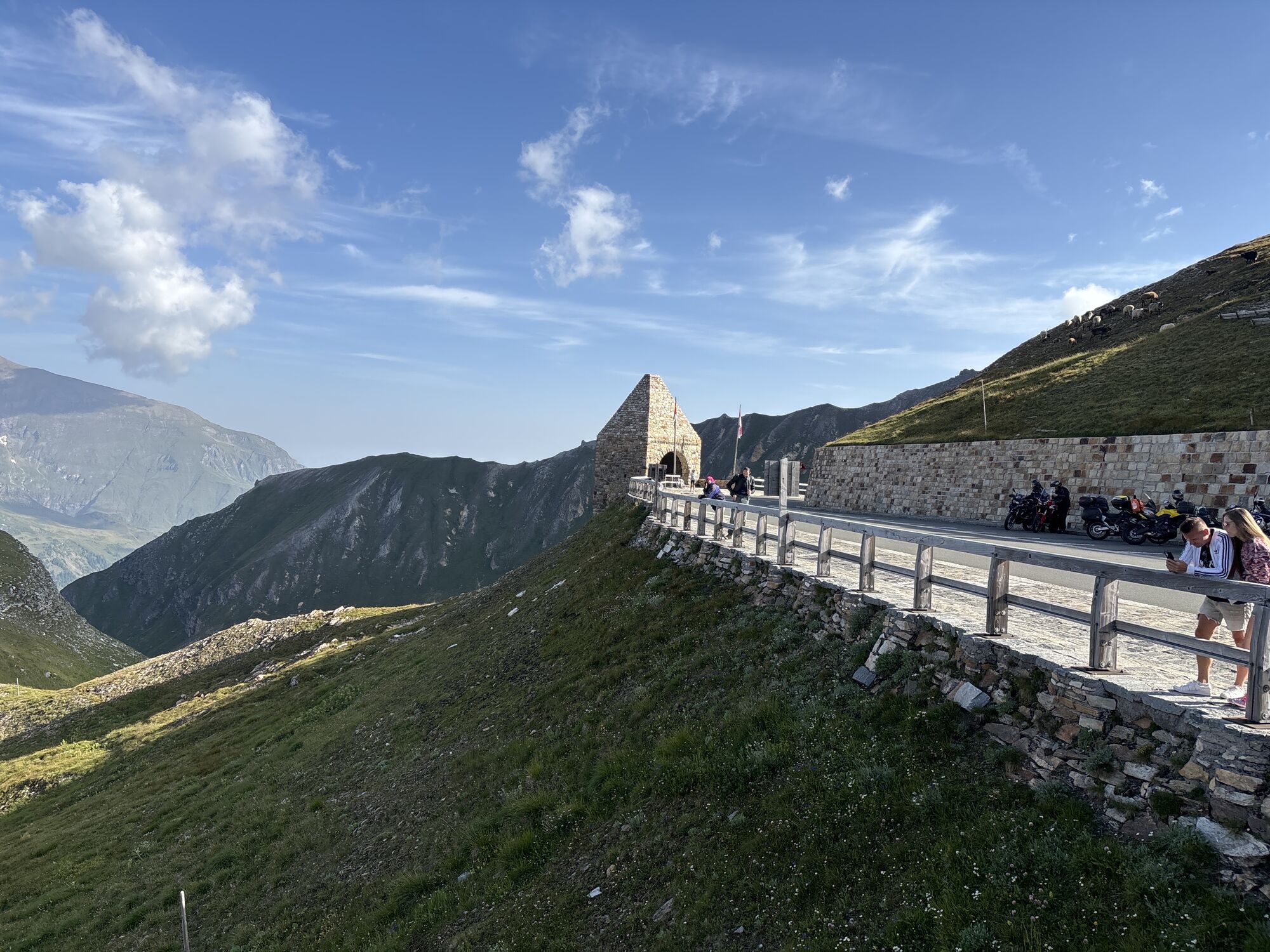
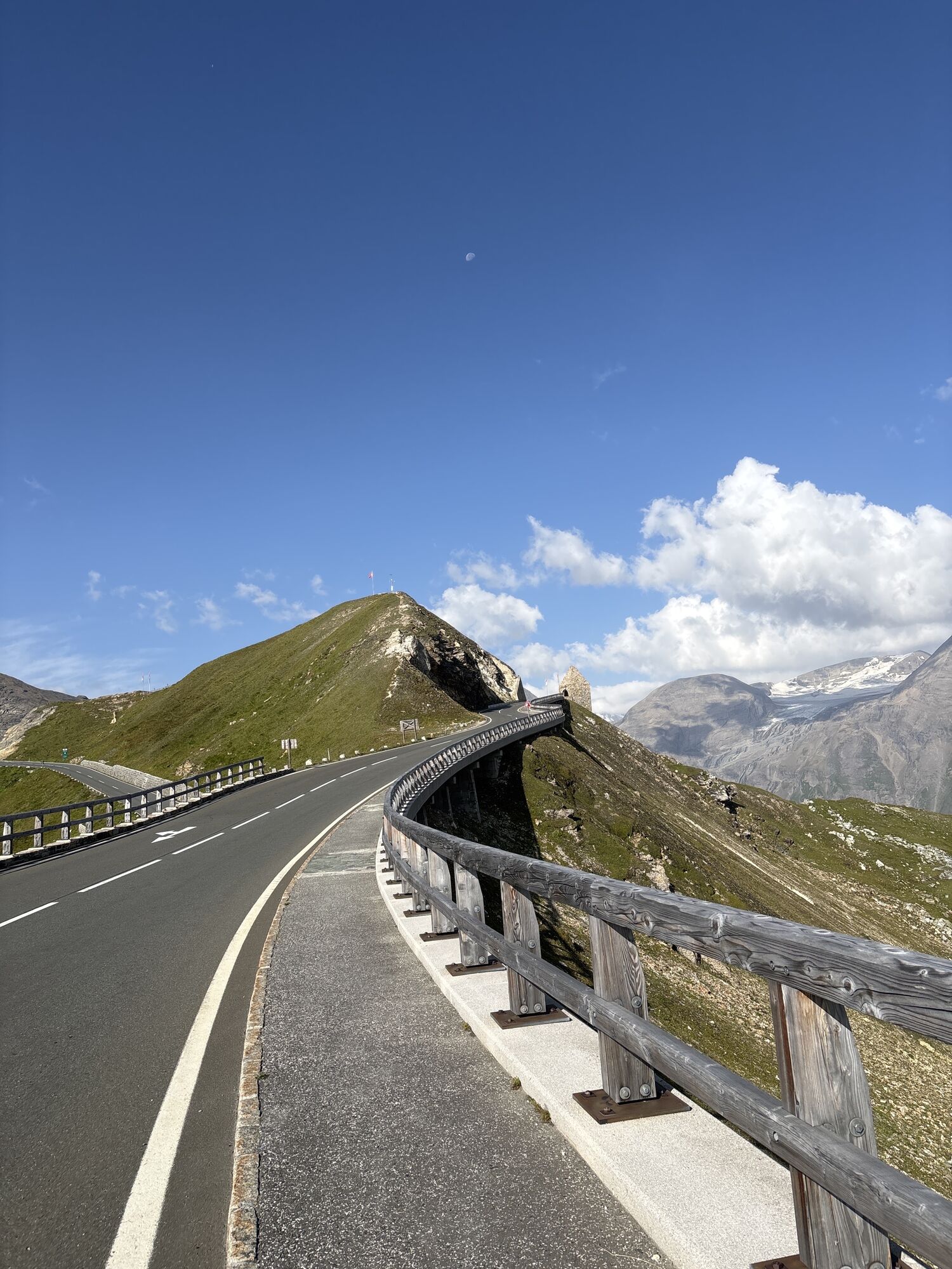
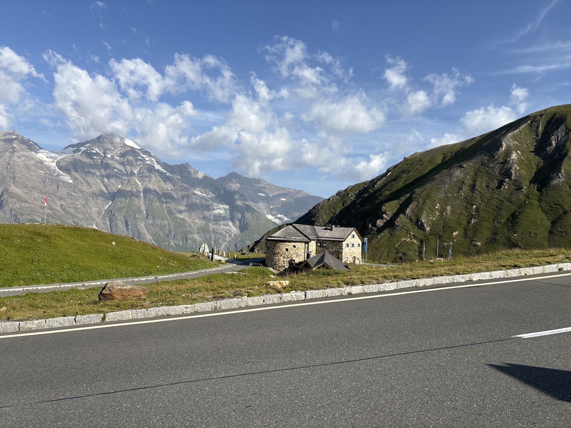
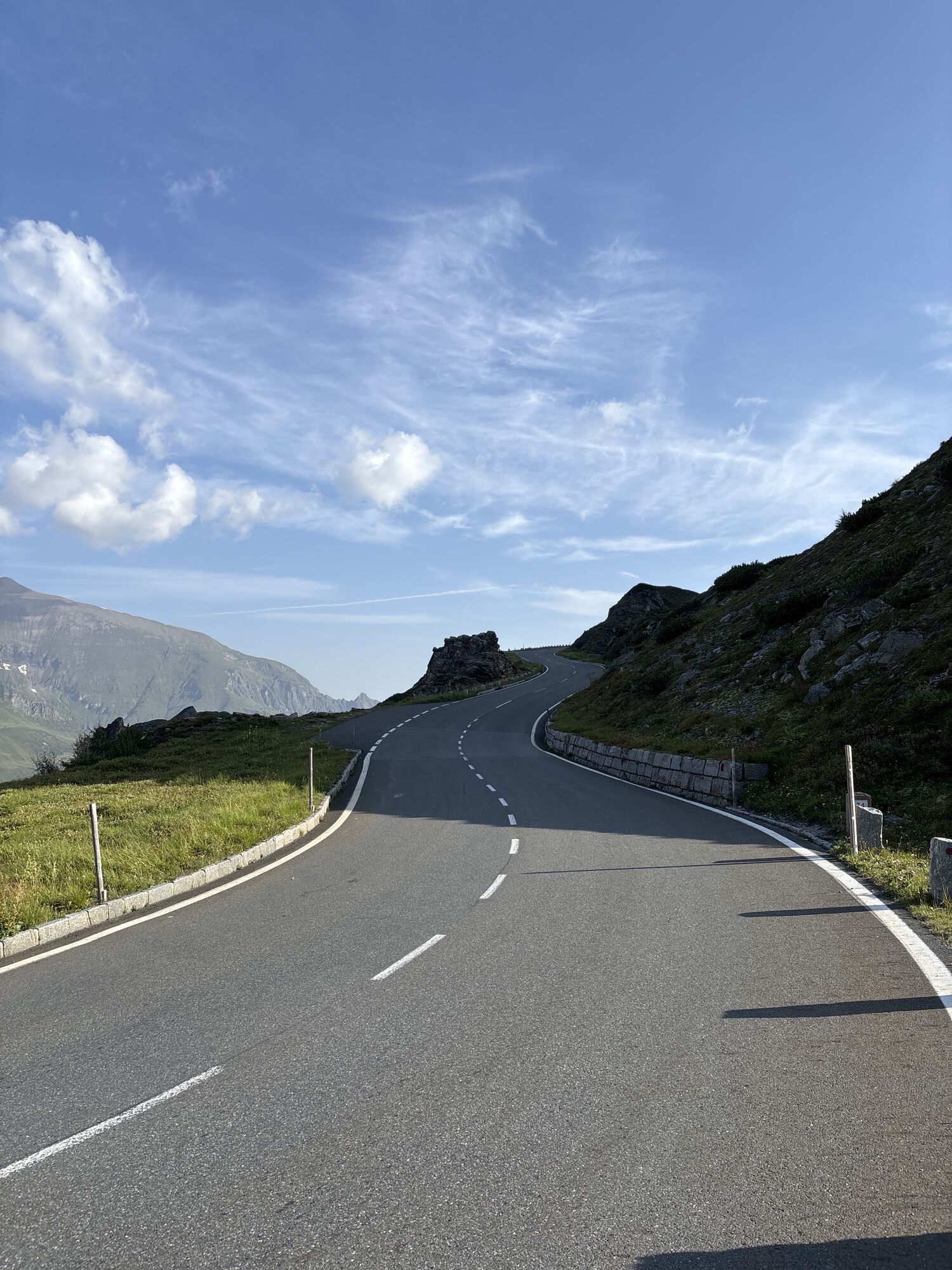
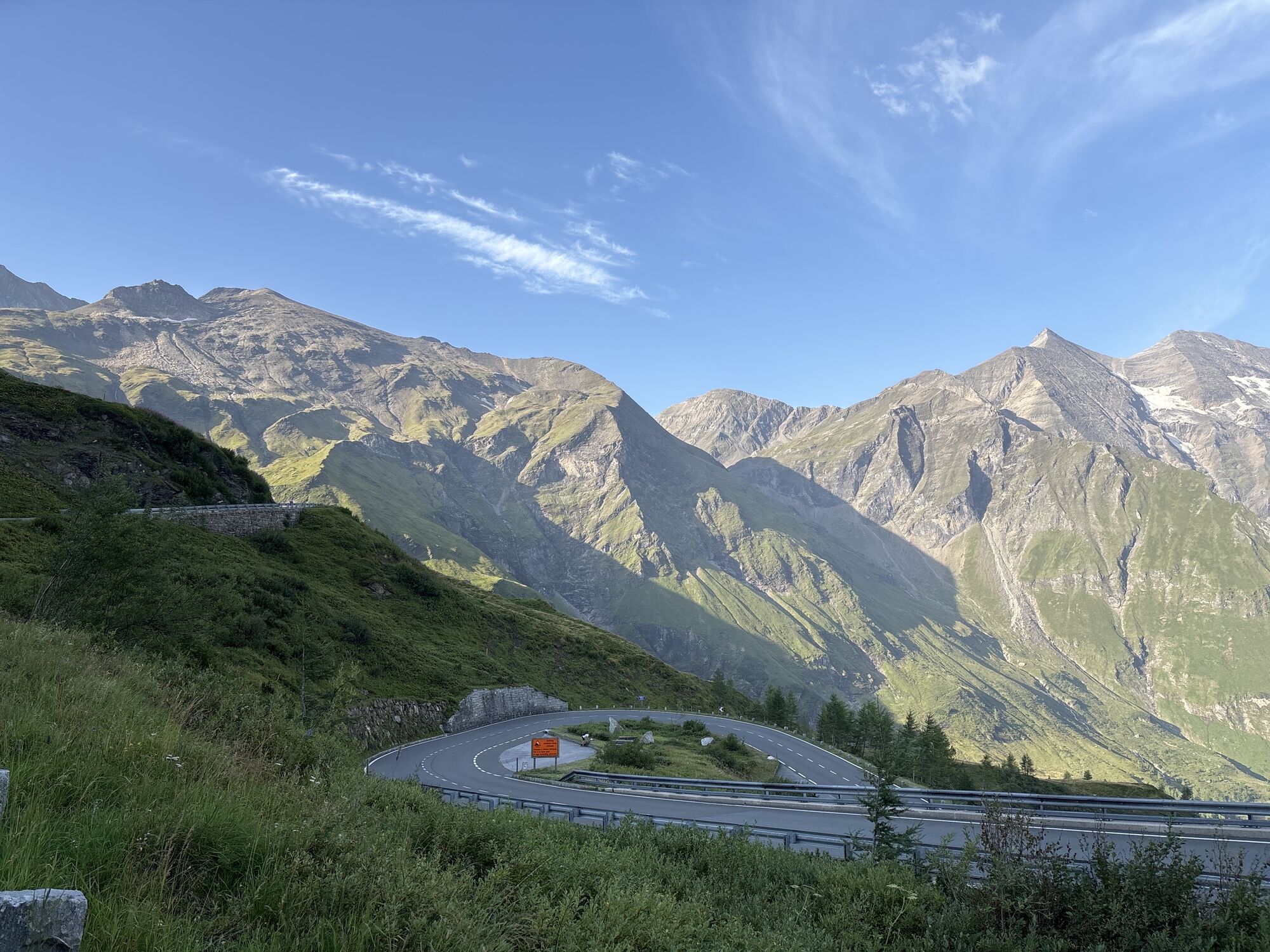
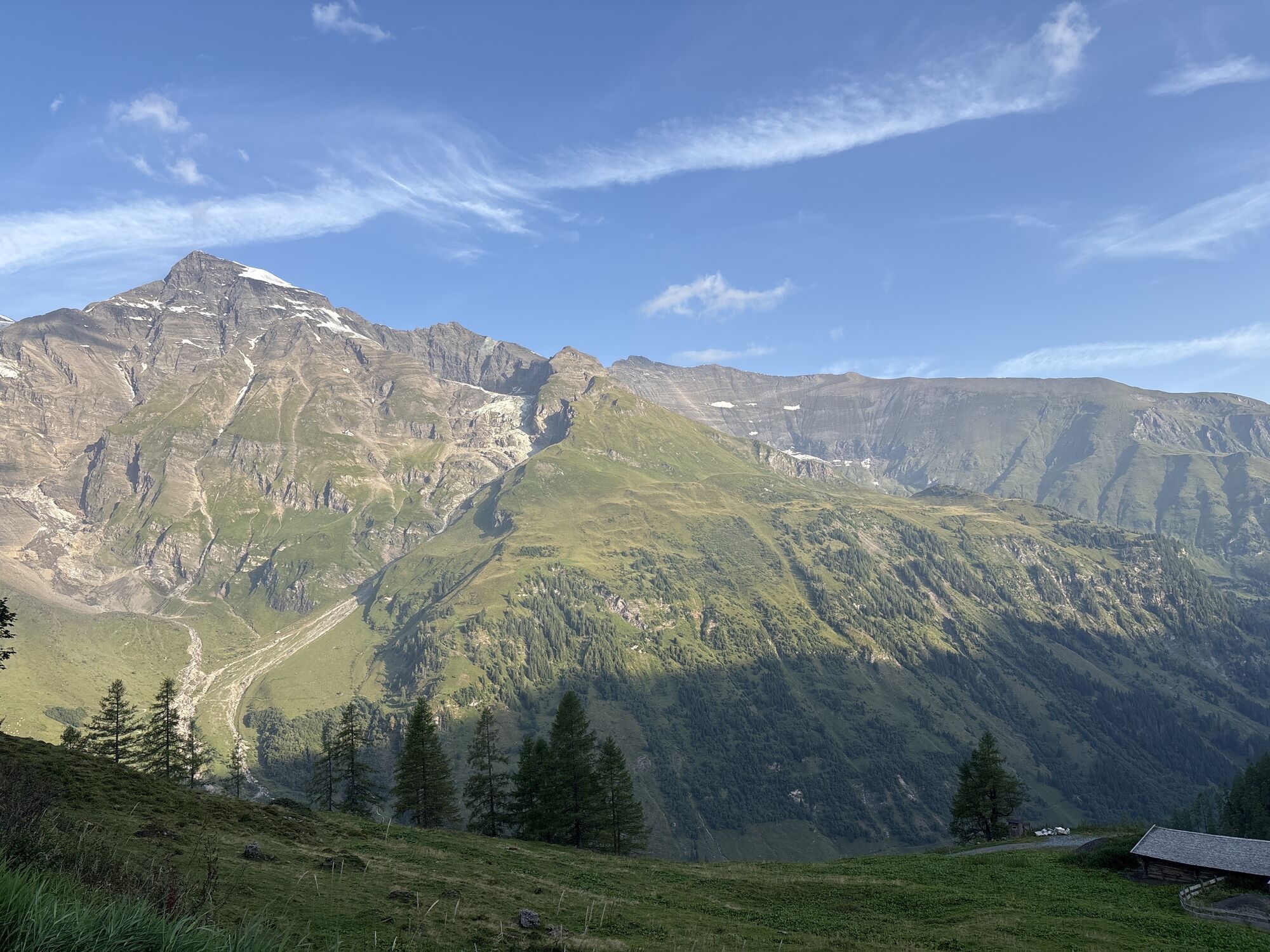
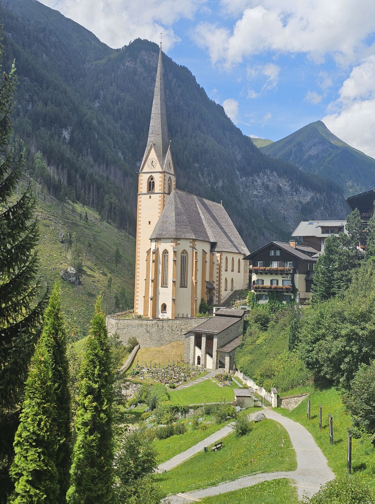
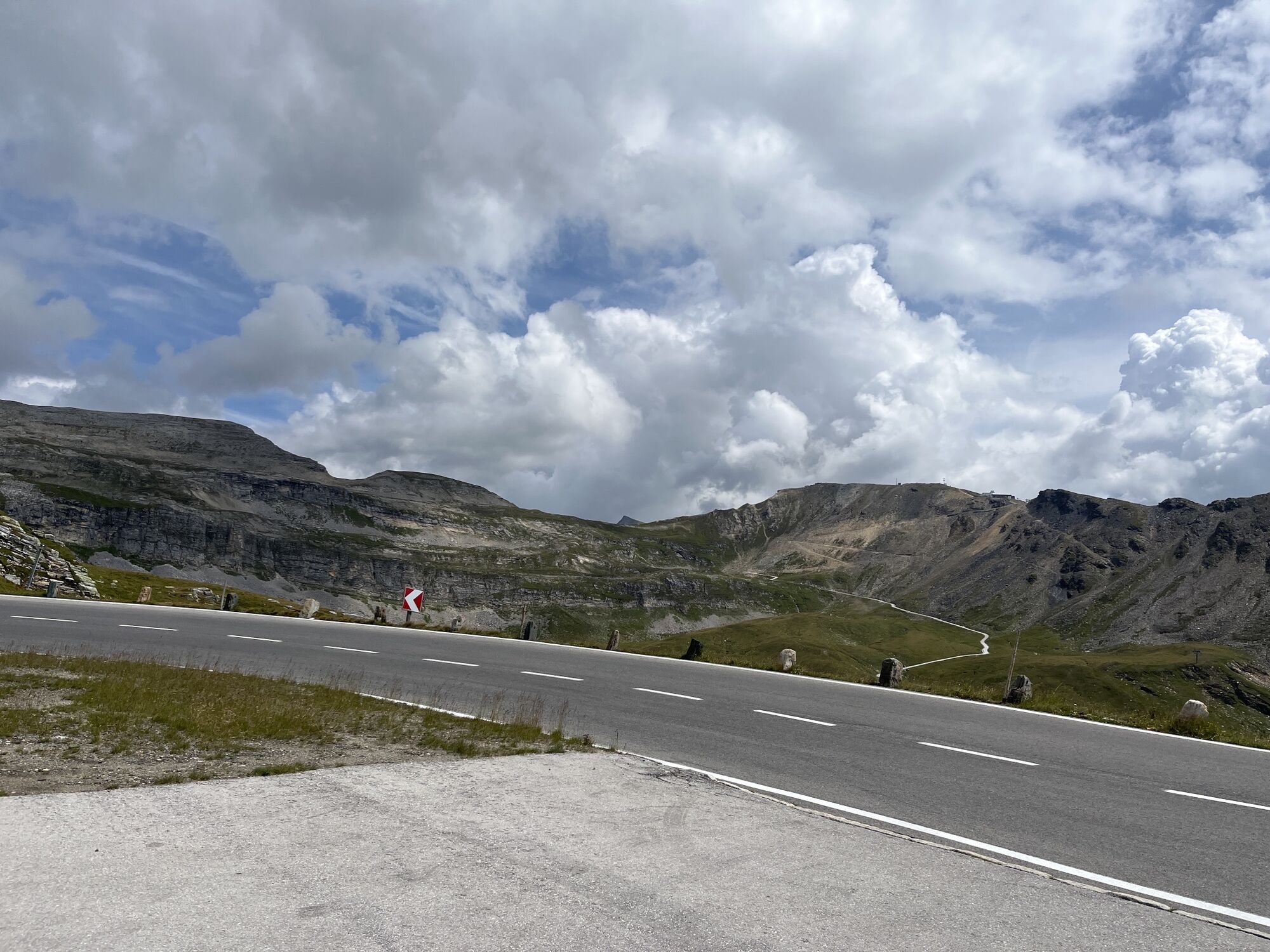
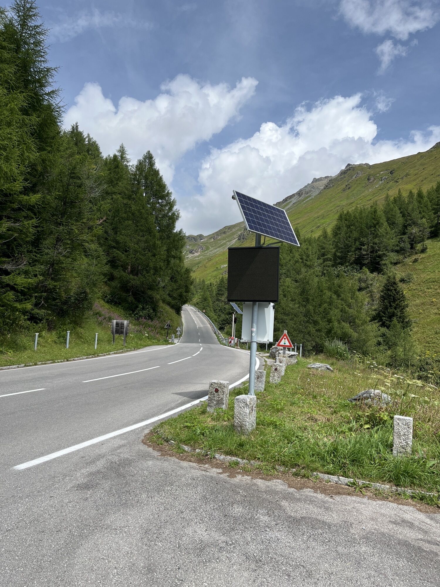
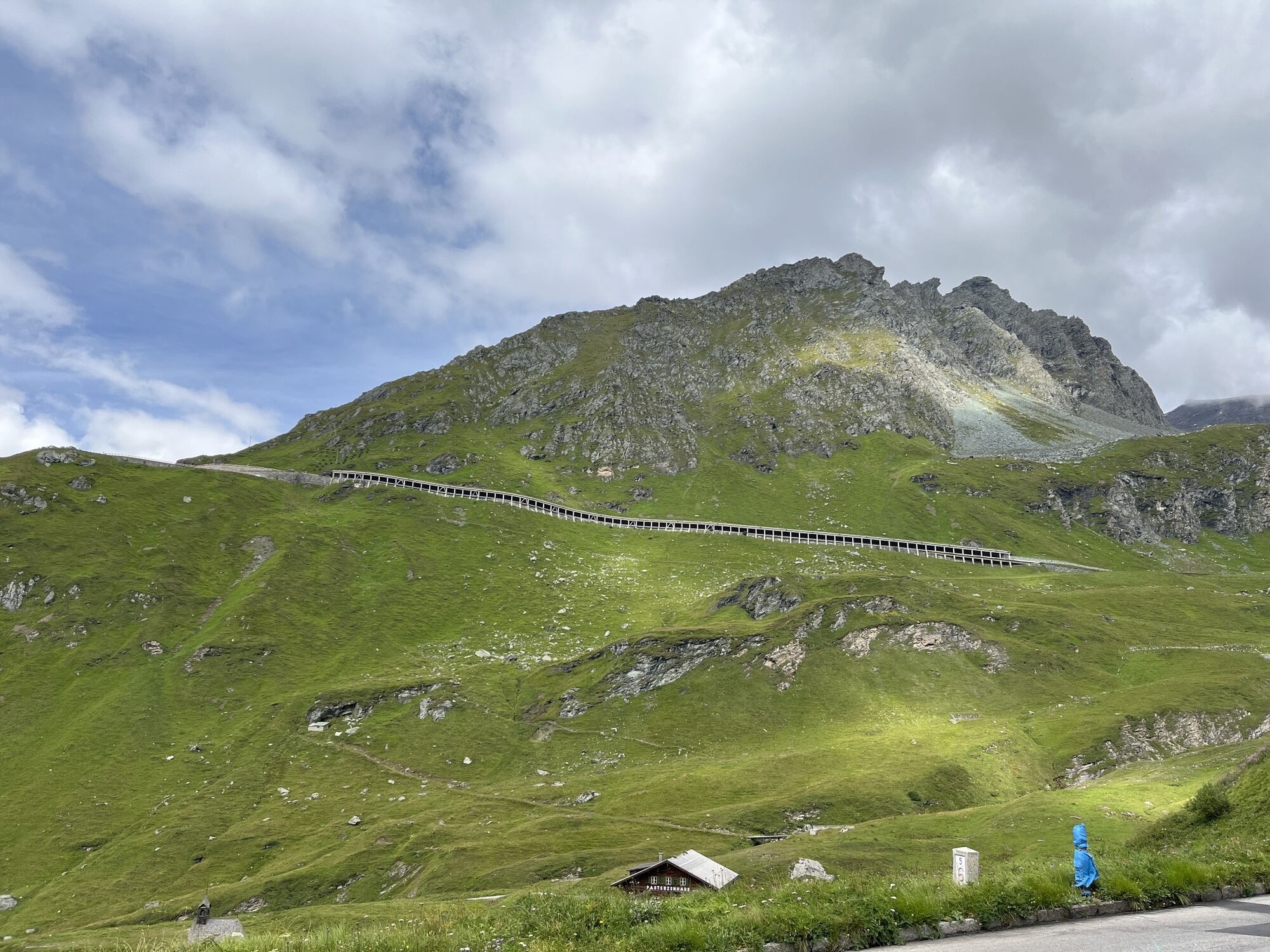
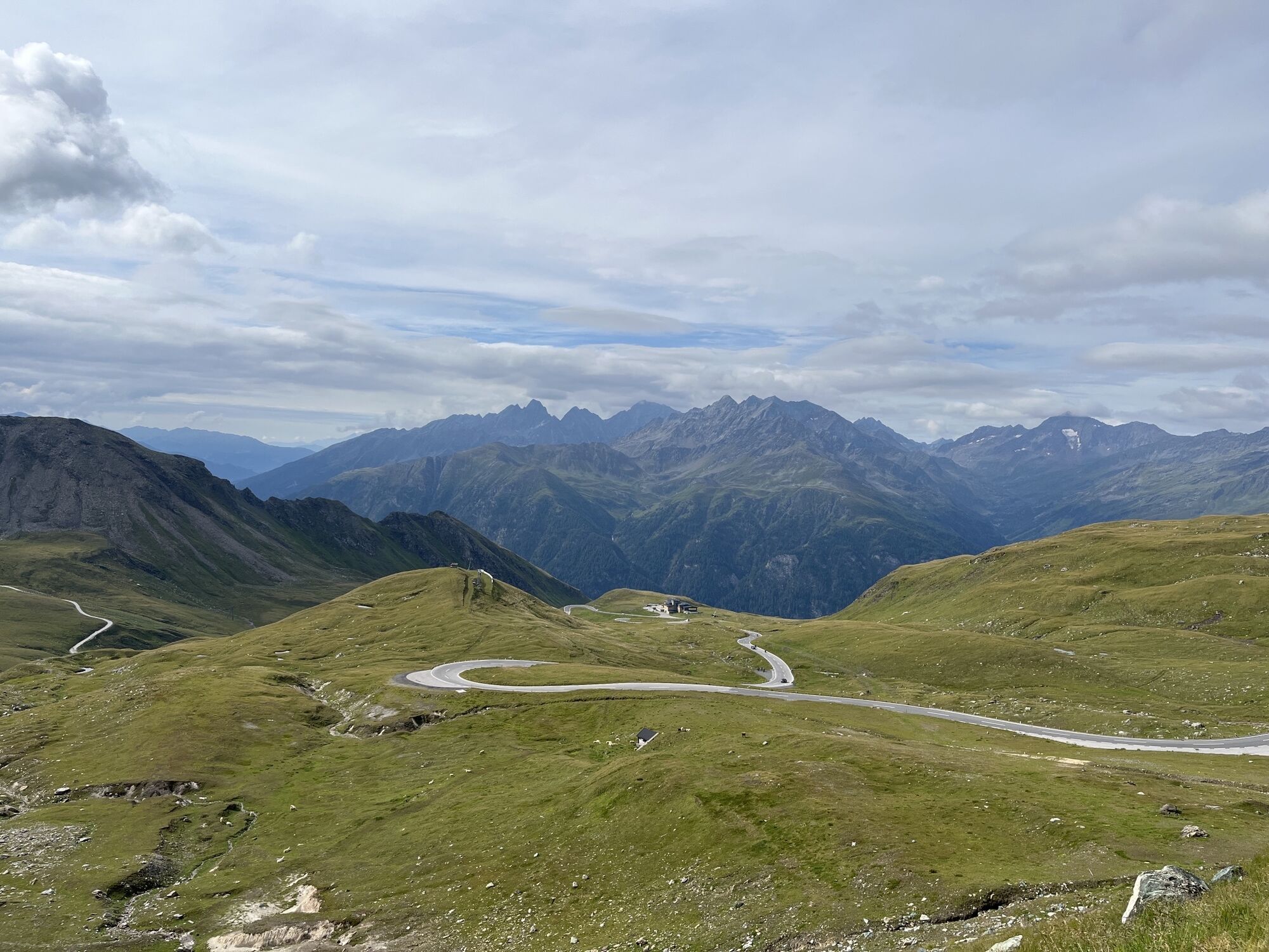
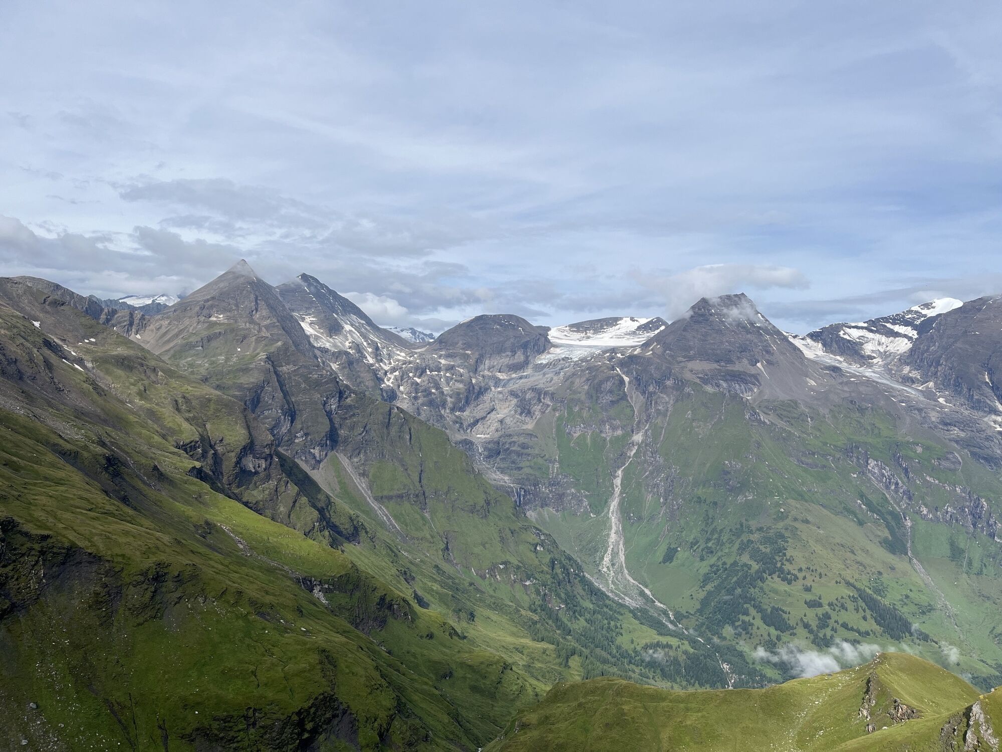
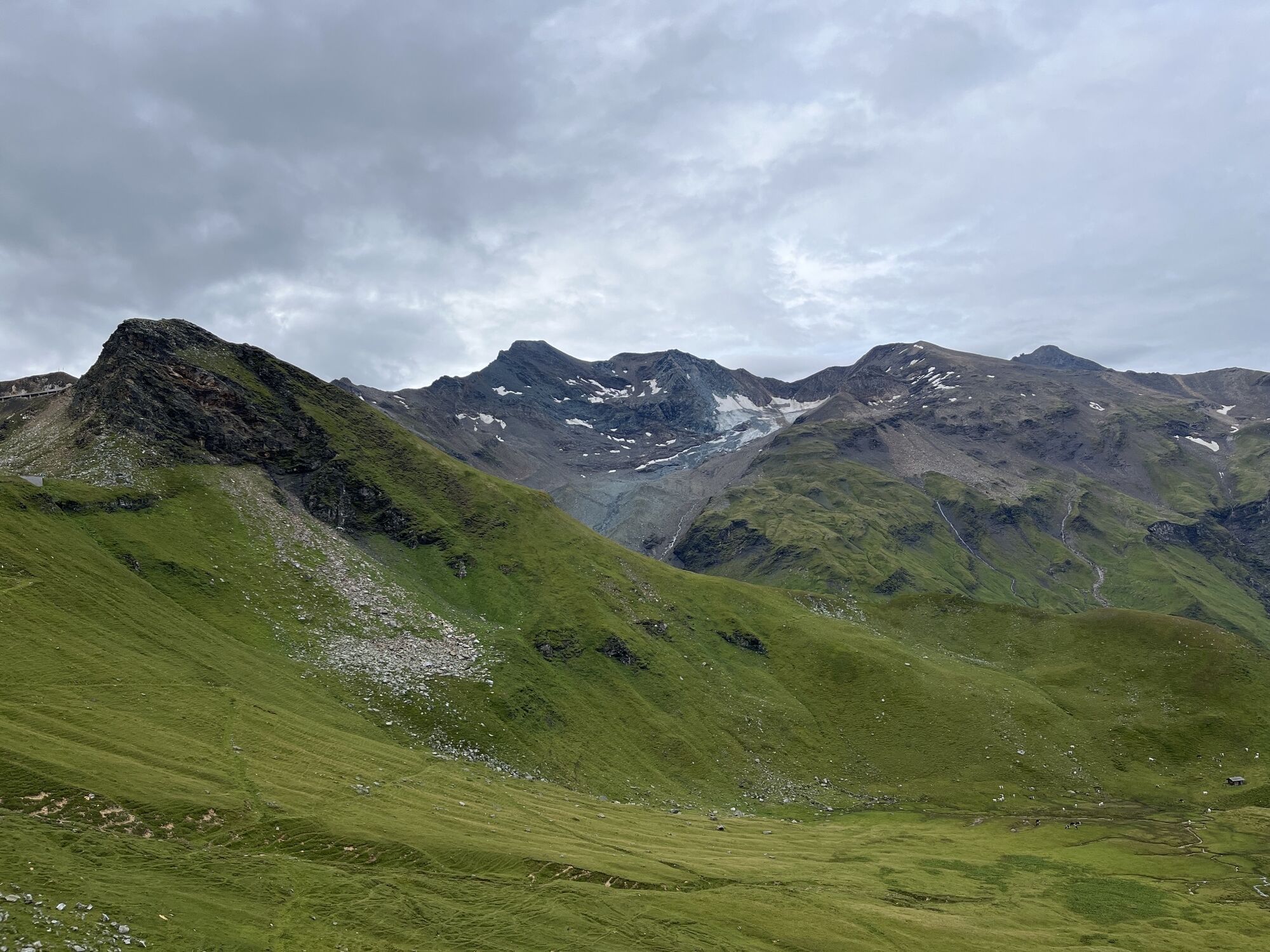
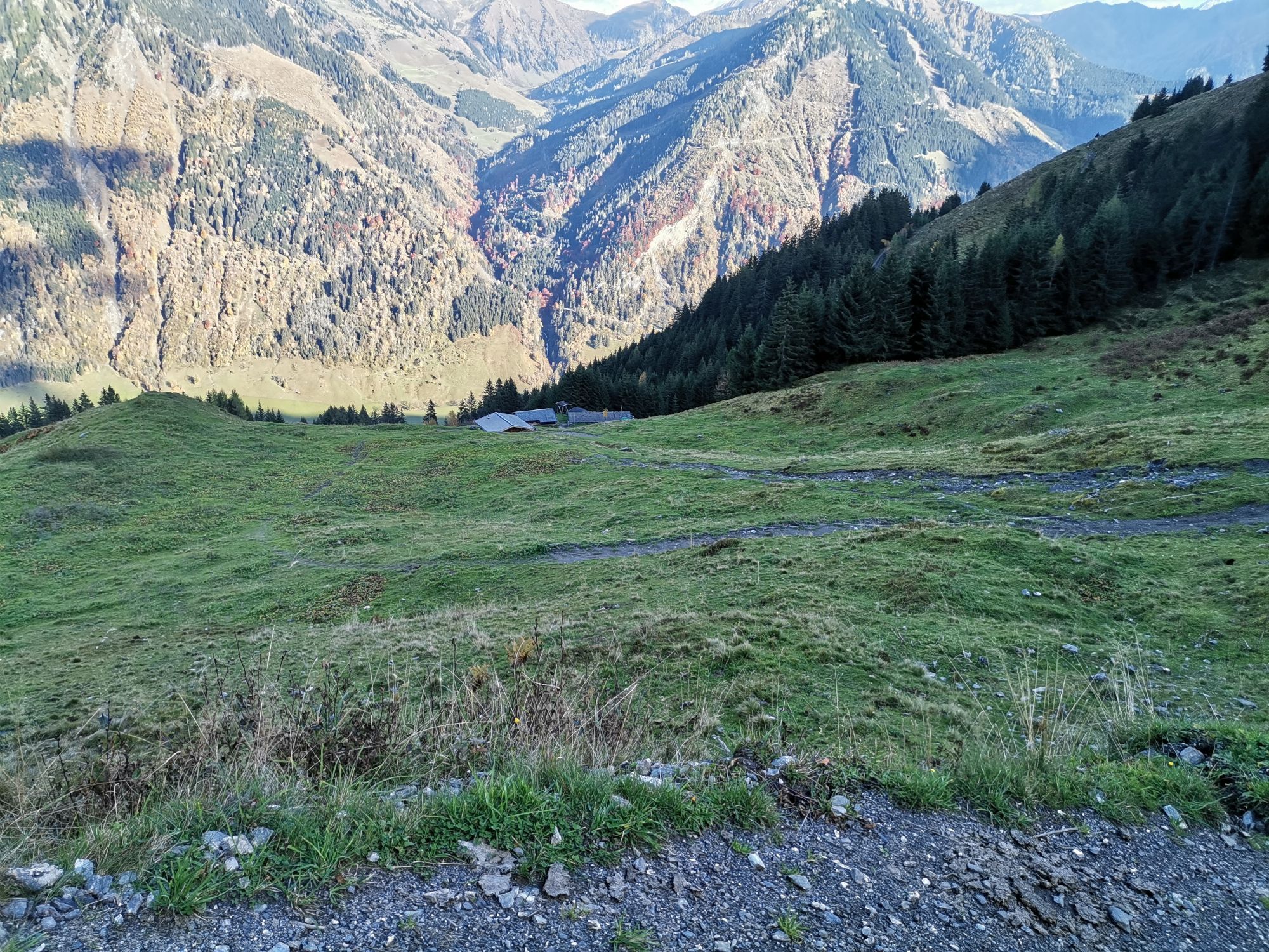
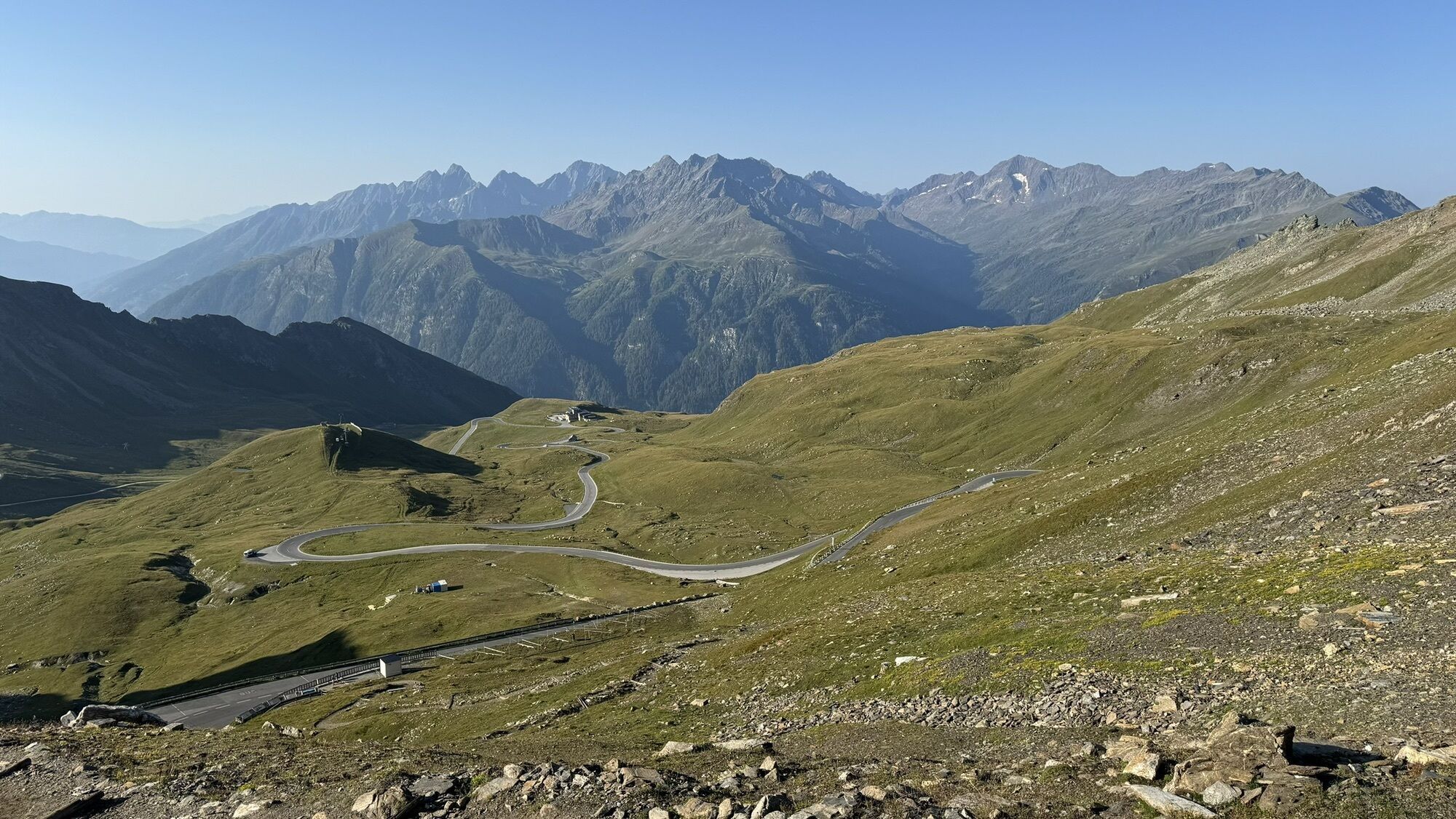
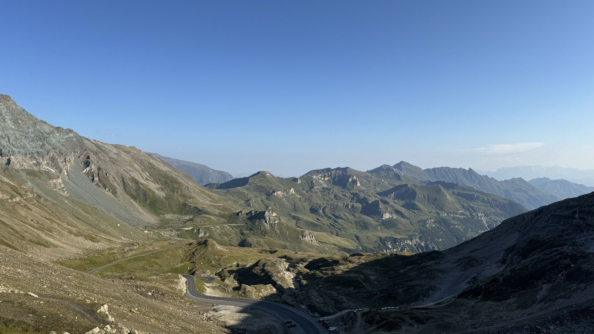
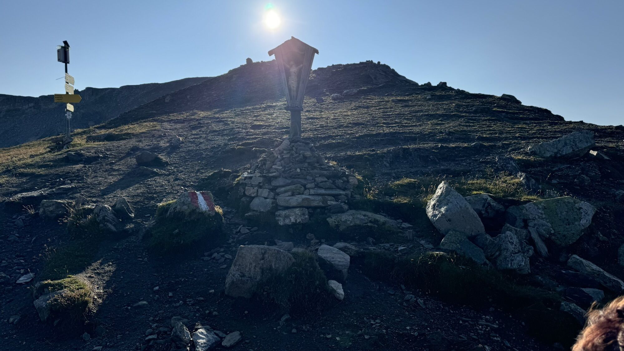
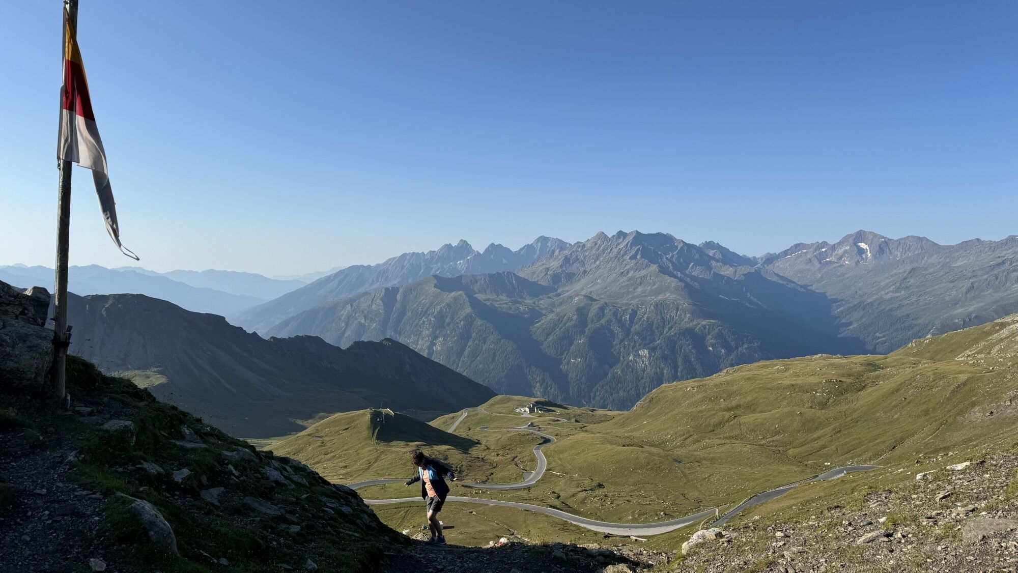
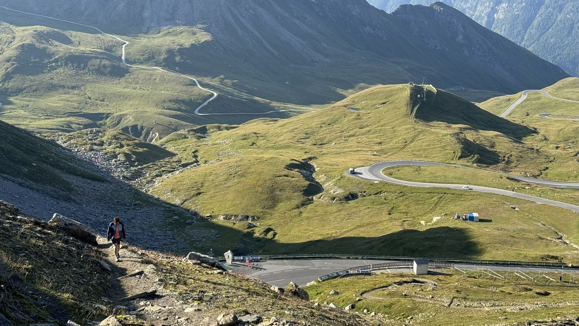
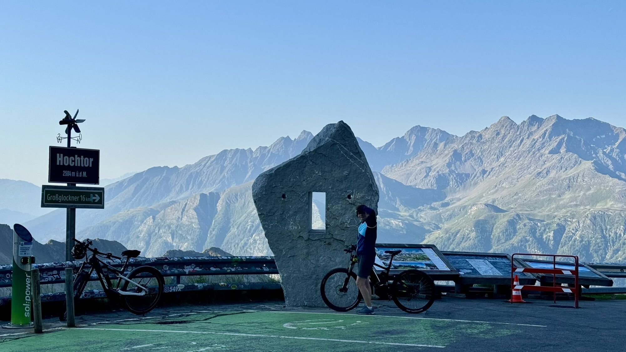
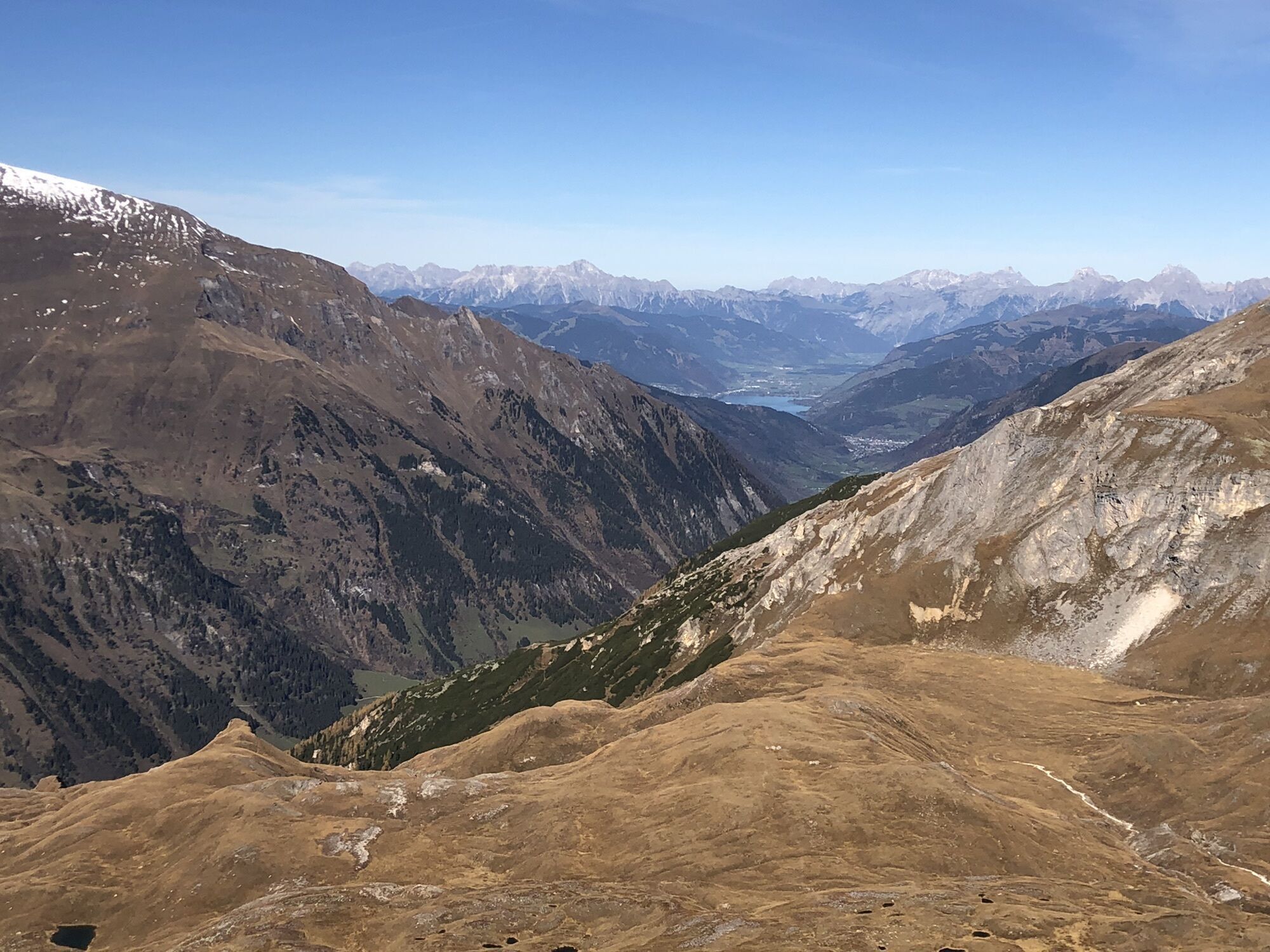
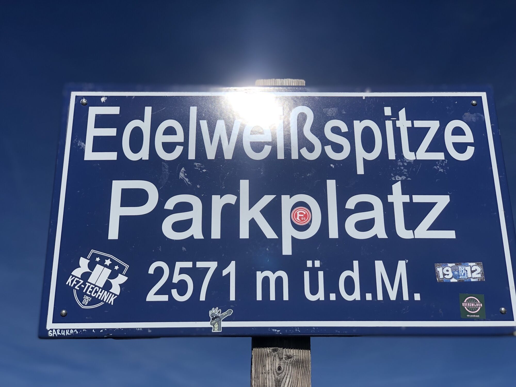
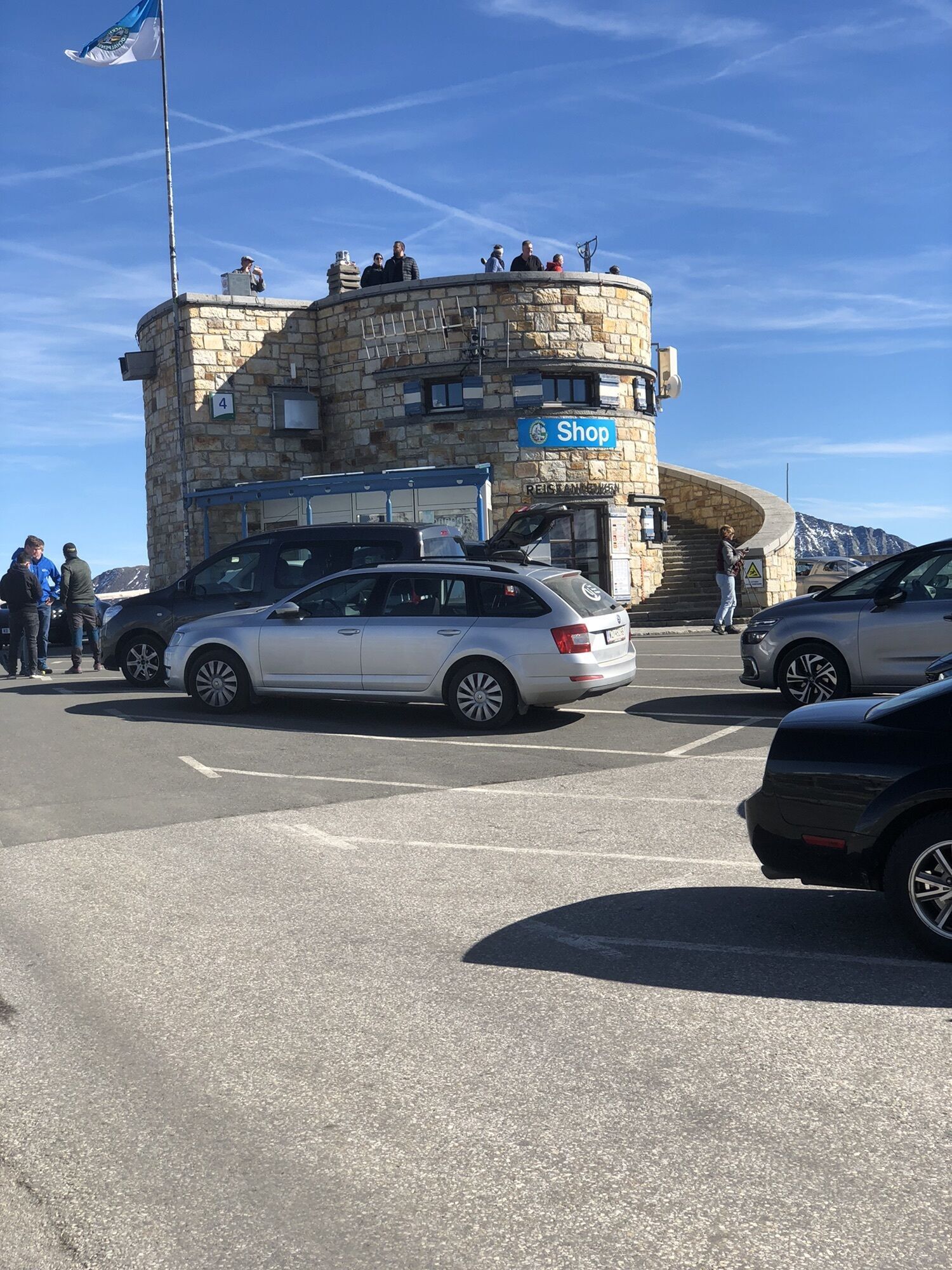
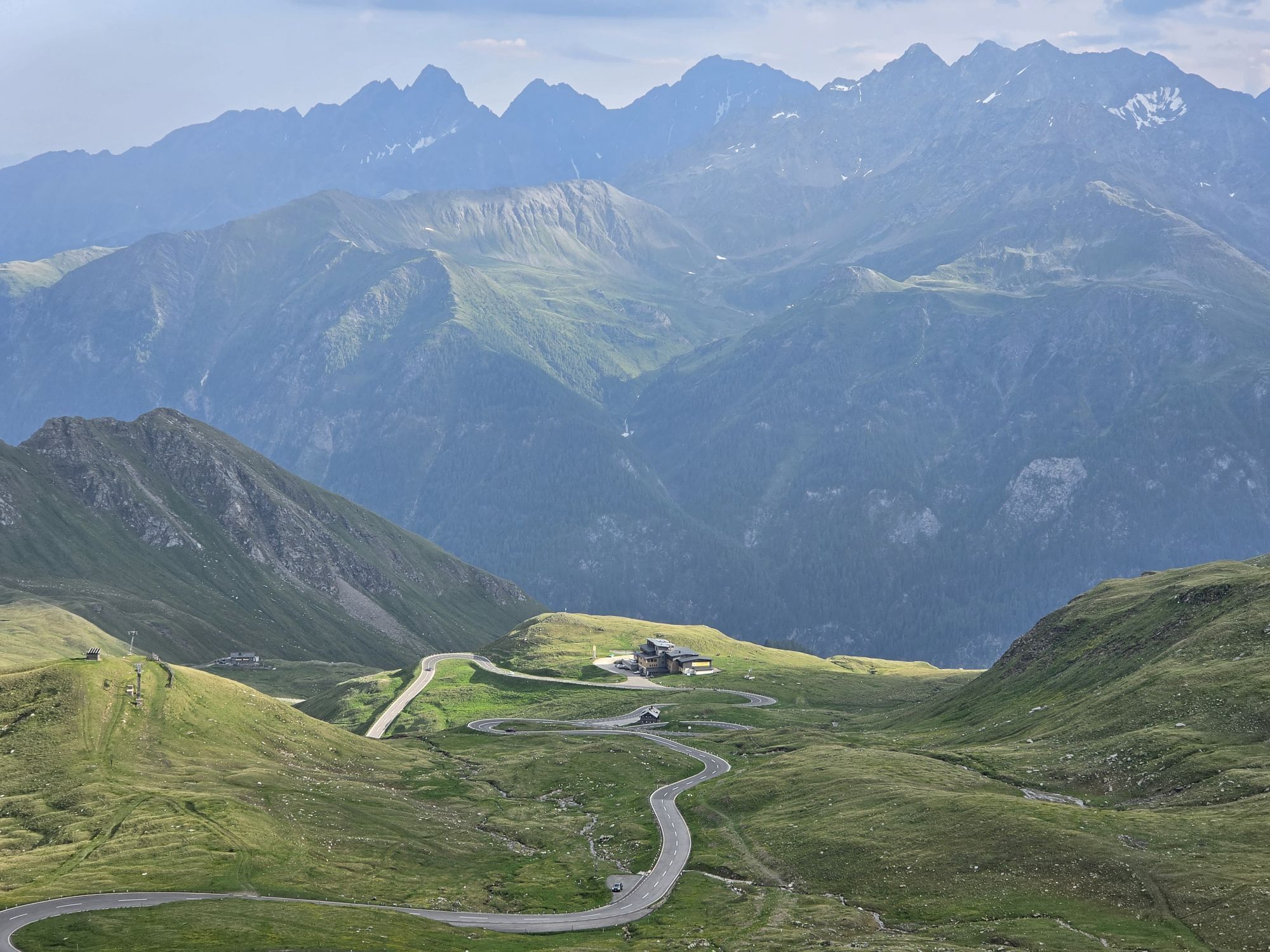
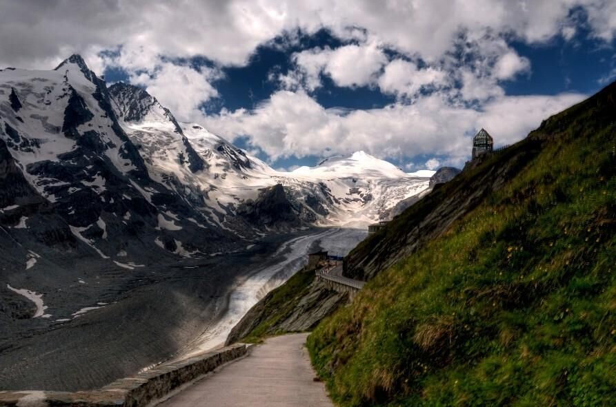
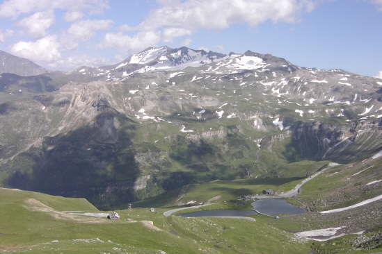
The first section from Heiligenblut (1,291 m) leads to the Kaiser-Franz-Josefs-Höhe (2,369 m), 16.5 km and about 1,000 m of ascent have to be overcome. There, a magnificent view of Pasterze and Grossglockner awaits. If you want to complete the route faster, you can skip the detour to Franz-Josefs-Höhe and drive directly to the Hochtor (2,576 m), also around 16 km with about 1,300 m ascent, calculated from Heiligenblut. From the Hochtor, it goes briefly downhill and then again a small ascent to the Fuscher Törl (2,428 m). If you want, you can also take the few hairpins to Edelweißspitze (2,571 m).
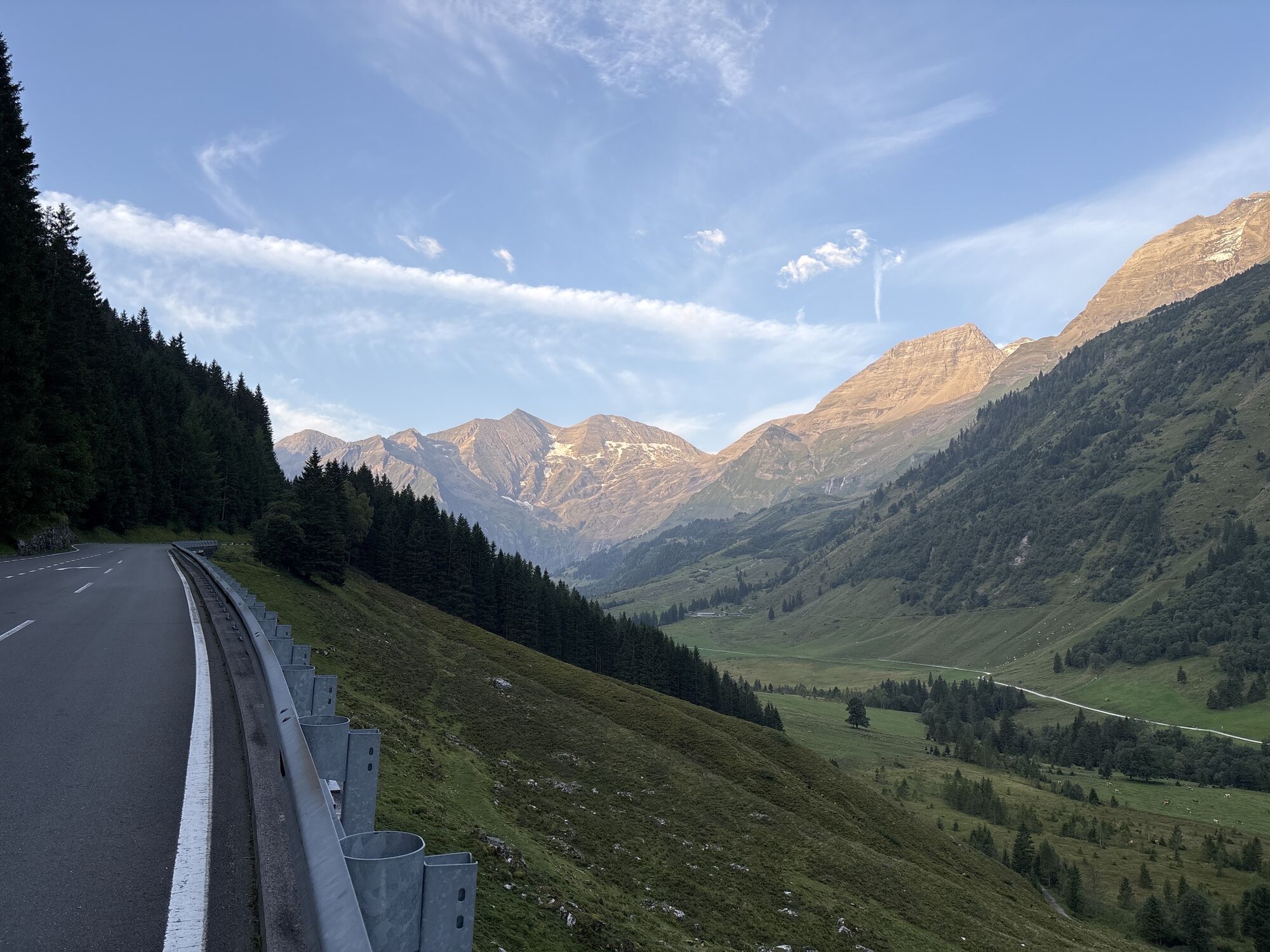
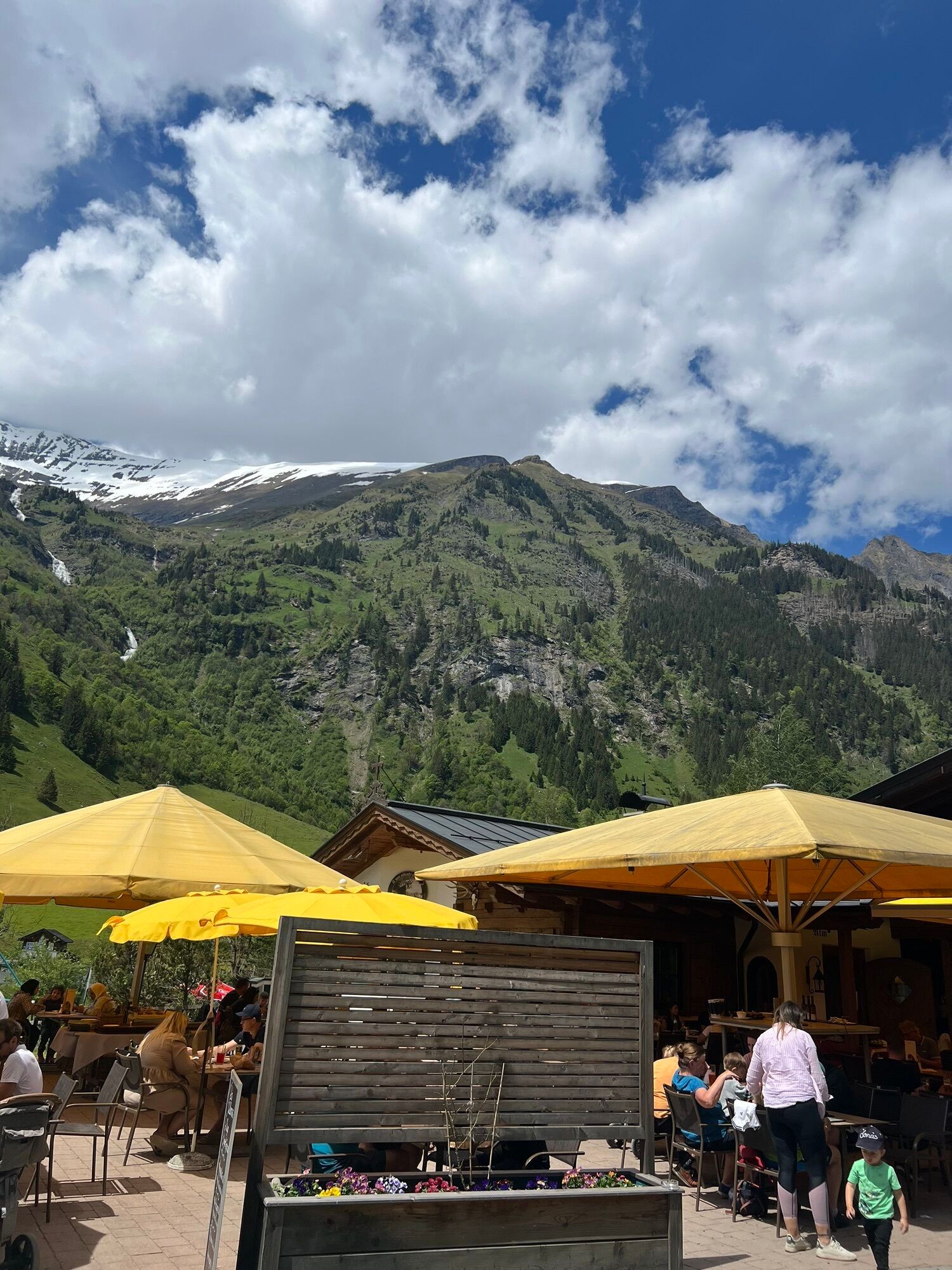
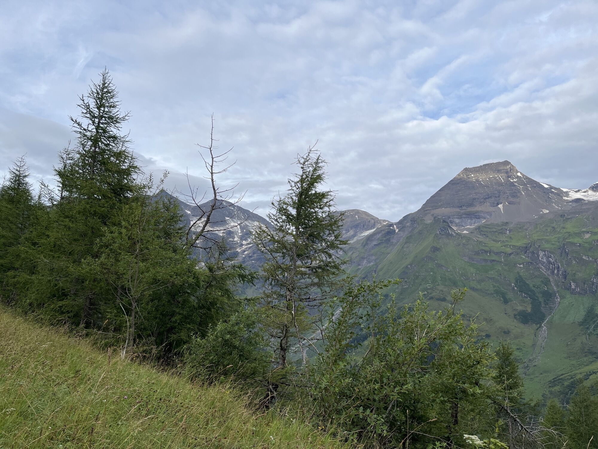
From now on, it goes downhill for about 20 km to Fusch, a curve delight, which, however, can be impaired by partly heavy excursion traffic. Caution is therefore advised! In Pinzgau, you turn onto the B 311 and ride westwards to Lend at the entrance to the Gastein Valley. Now it goes steadily uphill again past Bad Hofgastein and Bad Gastein to Böckstein station. There, it is time to dismount and change to the train. Via the ÖBB Tauern shuttle, which runs hourly from 6:20 a.m. to 10:20 p.m. (details: www.oebb.at or tel. 05 1717), you reach Mallnitz and thus back to Carinthia.
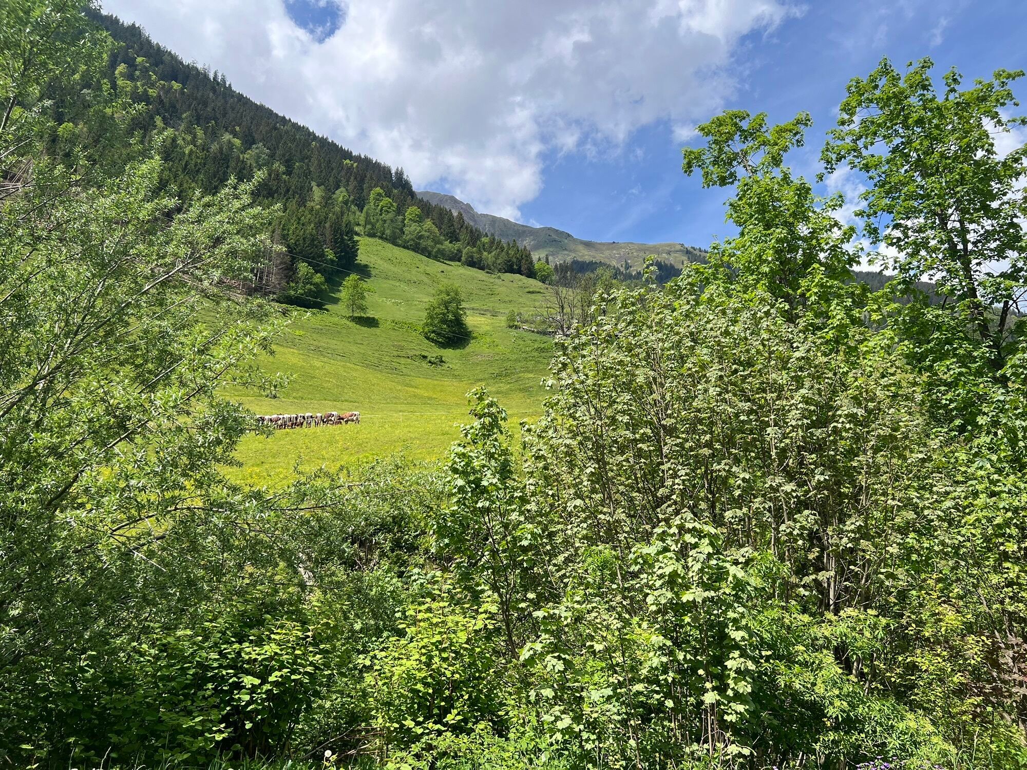
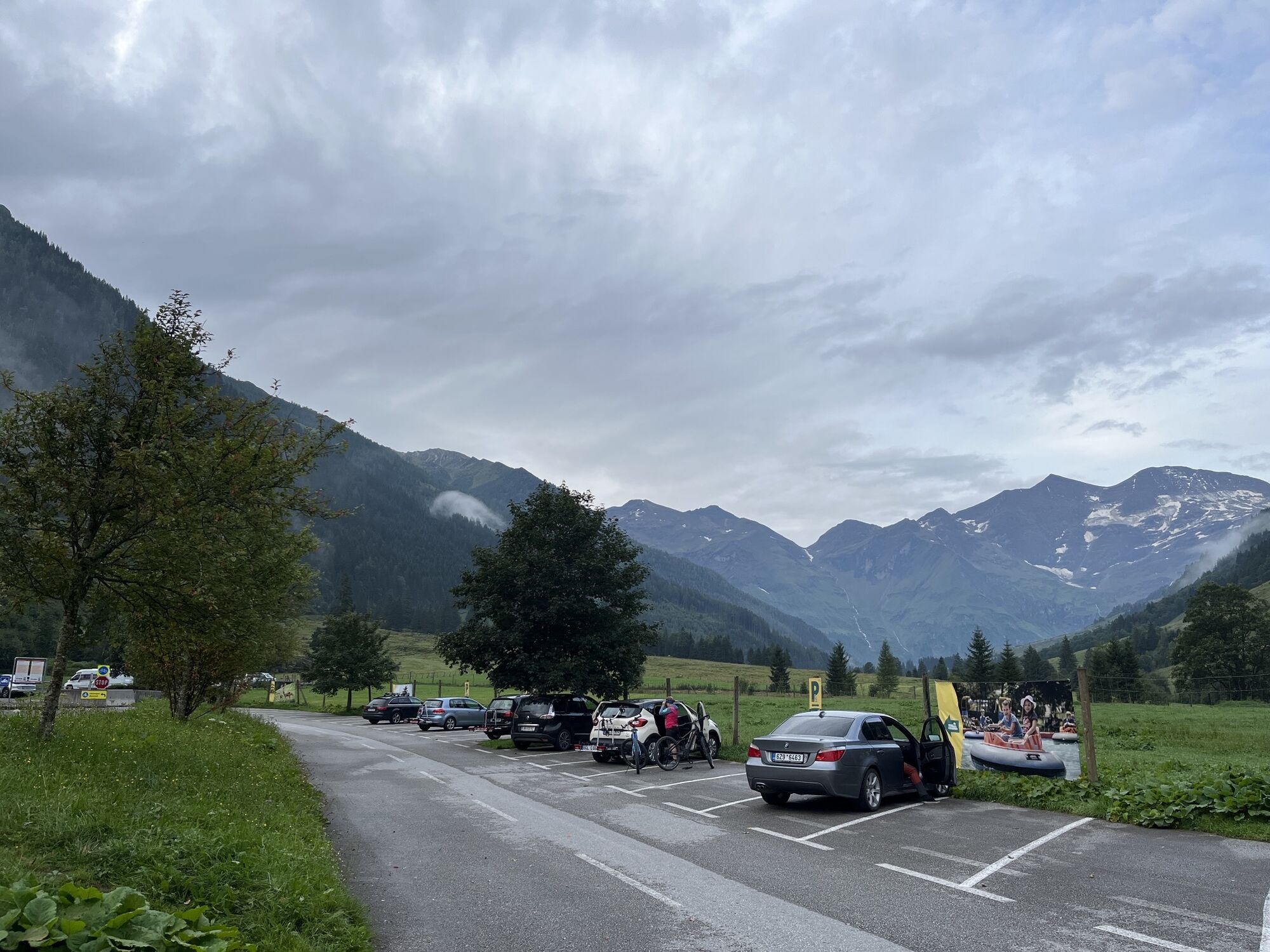
From Mallnitz, it is about 8 km downhill to Obervellach; there, you turn onto the B 106 and cycle the remaining kilometers along the Möll Valley back to the starting point, which you hopefully reach still in daylight.
Winklern - Heiligenblut - (Franz-Josefs-Höhe) - Hochtor - Fuscher Törl - (Edelweißspitze) - Fusch - Taxenbach - Lend - Bad Hofgastein - Bad Gastein - Böckstein - Mallnitz - Obervellach - Stall - Winklern
4
www.oebb.at
Driving the High Alpine Road at the edges of the day
Kamery internetowe z trasy
-
Kreuzkogel
-
Fulseck
-
Heiligenblut Ort
-
Fallbichl
-
Haitzingalm
-
Bad Gastein - Golfplatz
-
Dorfgastein - Spiegelsee
-
Bad Hofgastein - Schloßalm
-
Bergstation 6er Sesselbahn Harbach
-
Gästehaus Hagenhofer - Dorfgastein
-
Lorenzalm (Kräuterwiesen)
-
Bad Hofgastein - Akzent Hotel Germania
-
Großglockner - KFJ-Höhe
-
Bad Gastein - Hotel Schillerhof
-
Rossbach Mittelstation
-
Skizentrum Angertal
-
Winklern im Mölltal / Penzelberg
-
Flattach
-
Großglockner - Edelweißspitze
-
Großglockner - Fuschertörl
-
Schlossalm - Weitmoser
-
Jungerstube / Stubnerkogel
-
Kühhagerbahn Bergstation
-
Mesenatenhütte, Wallackhaus
-
Mörtschach / Klabischnighof
-
Obervellach - Almgasthof Himmelbauer
-
Lainach/Rangersdorf - Hotel Margarethenbad
-
Freiwandeck
-
Heiligenblut / Zirbenhof
-
Mesenatenhütte, Wallackhaus
-
Rangersdorf / Ederplan
-
Thumersbach
-
Golfplatz Goldegg
-
Golfplatz Goldegg
-
Schareck
-
Dorfgastein - Spiegelsee
-
Dorfgastein - Spiegelsee
-
Dorfgastein - Spiegelsee
-
Fallbichl
-
Ederplan
Popularne wycieczki w okolicy
-
4,7
Geotrail Tauernfenster
światłoWędrówka 5,90 km -
4,7
Hohe Sonnblick Up
ciężkiWędrówka 9,14 km -
5,0
Silberpfennig, Salzburger Land/Österreich
średniWędrówka 13,8 km -
4,1
Glacier Route to the Pasterze with Gamsgrubenweg (up to Tunnel 6)
średniWędrówka 8,05 km -
4,5
Niedersachsenhaus
średniWędrówka 4,84 km -
4,5
Bad Gastein-Böckstein-Sportgastein(Schlechtwettervariante)
Wędrówka 17,2 km -
4,5
Böckfeldalm-Stubnerkogel Mittelstation
średniWędrówka 10,9 km -
4,8
Rifflscharte - Kolmkarscharte - Bockhartscharte - Sportgastein
średniWędrówka 13,5 km -
3,9
Großglockner Hochalpenstrasse
ciężkiJazda na rowerze 20,2 km -
4,6
3 Oktober Fusch Walcher Grung und Hohalm
średniWędrówka 8,57 km
Wędrówki i tropienie


Nie przegap ofert i inspiracji na następne wakacje
Twój adres e-mail została dodana do listy mailingowej.