







Bike bus route from Hermagor to Lake Ossiach
Poziom trudności: 1
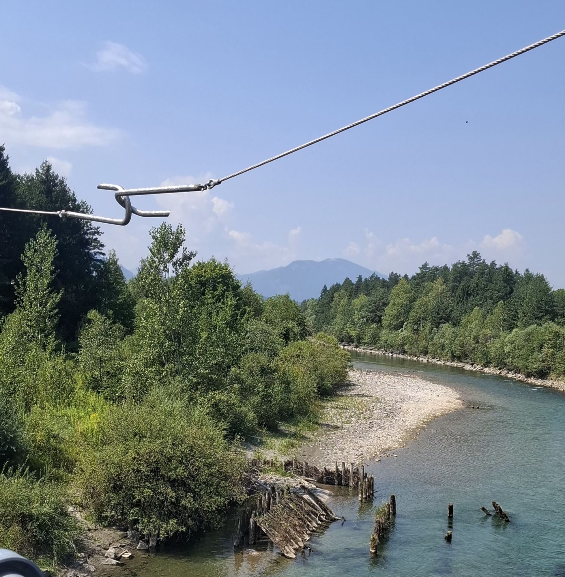
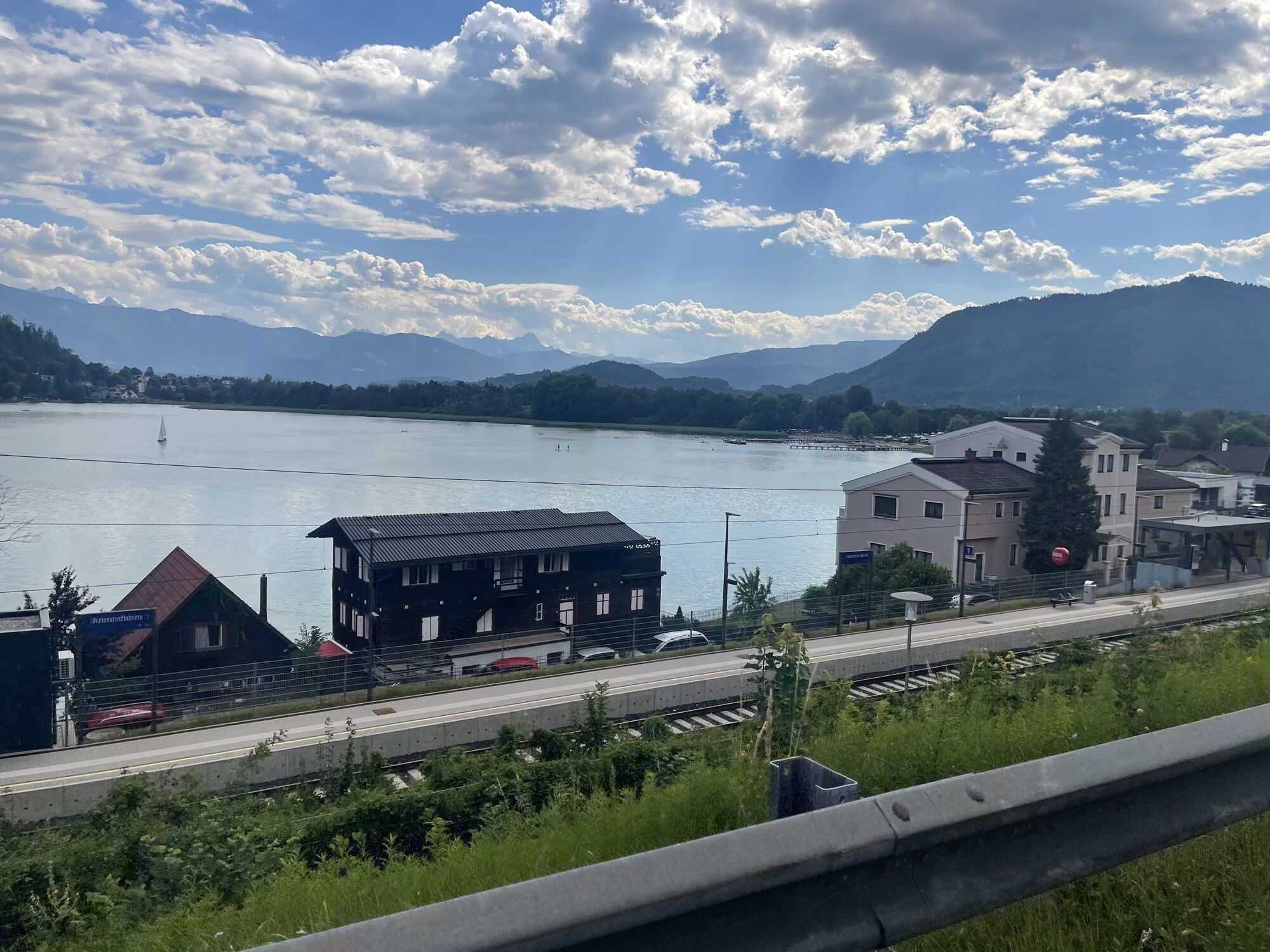
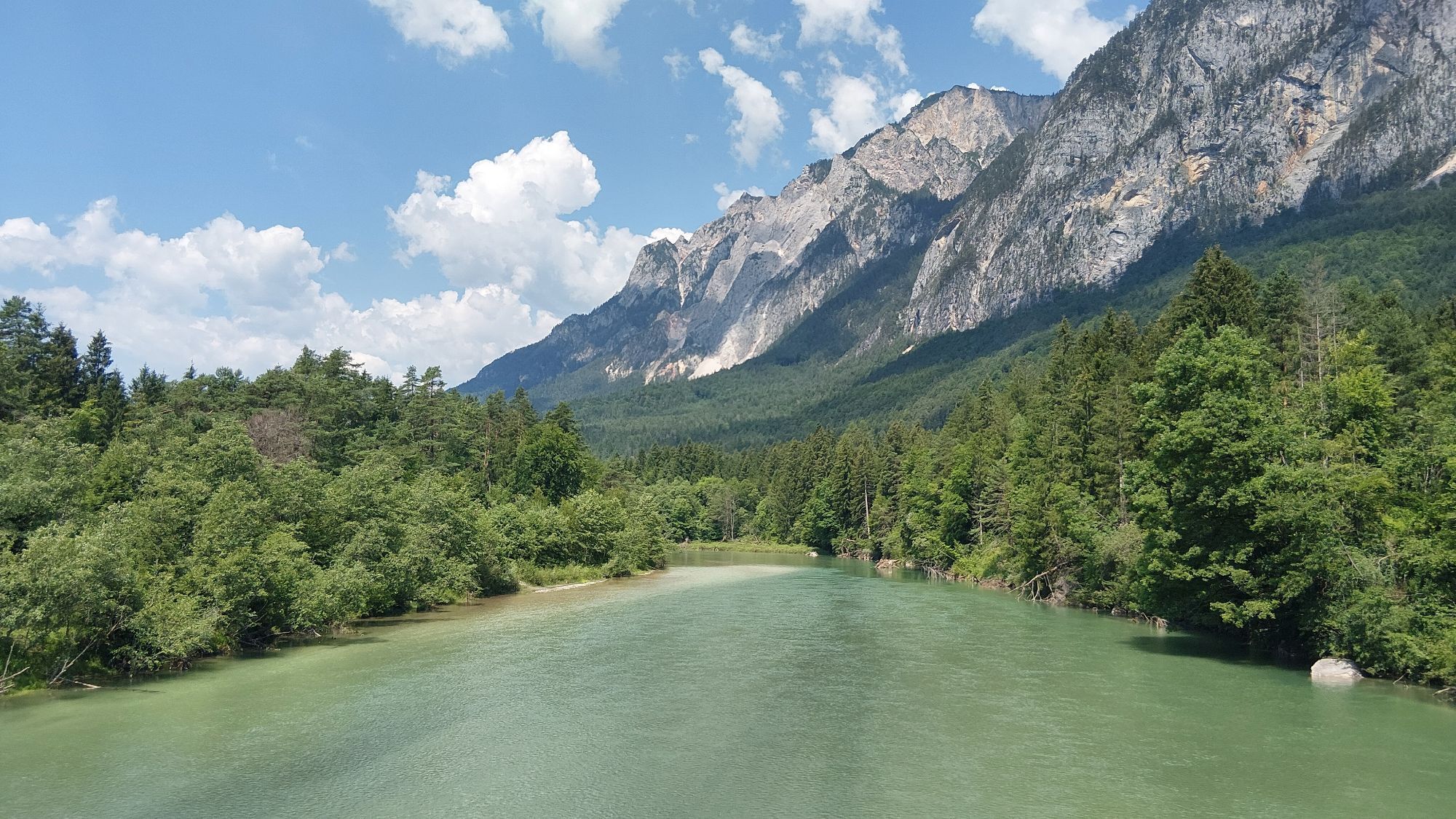
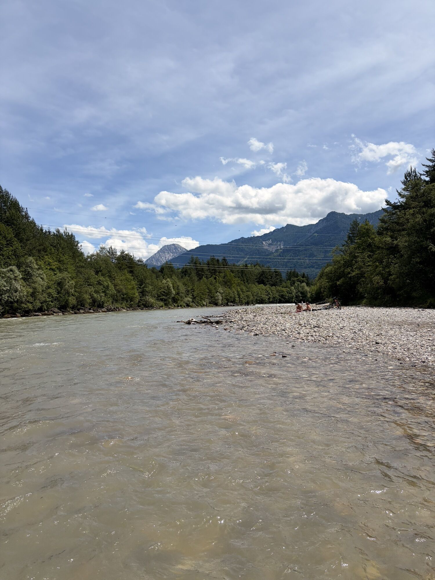
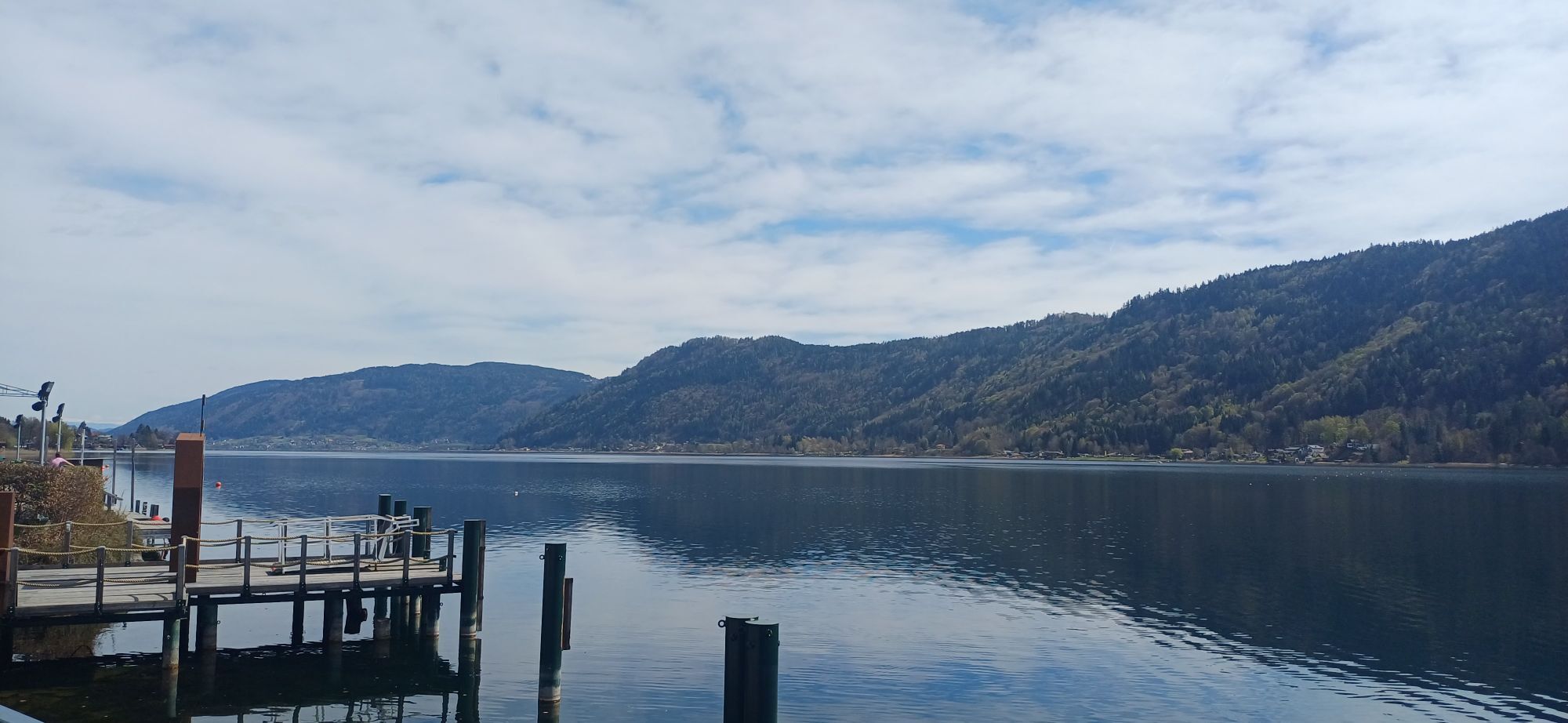
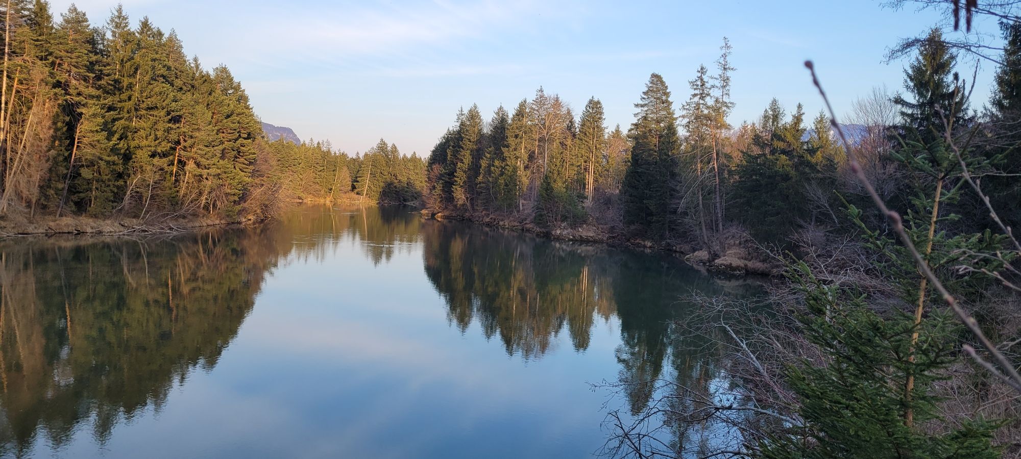

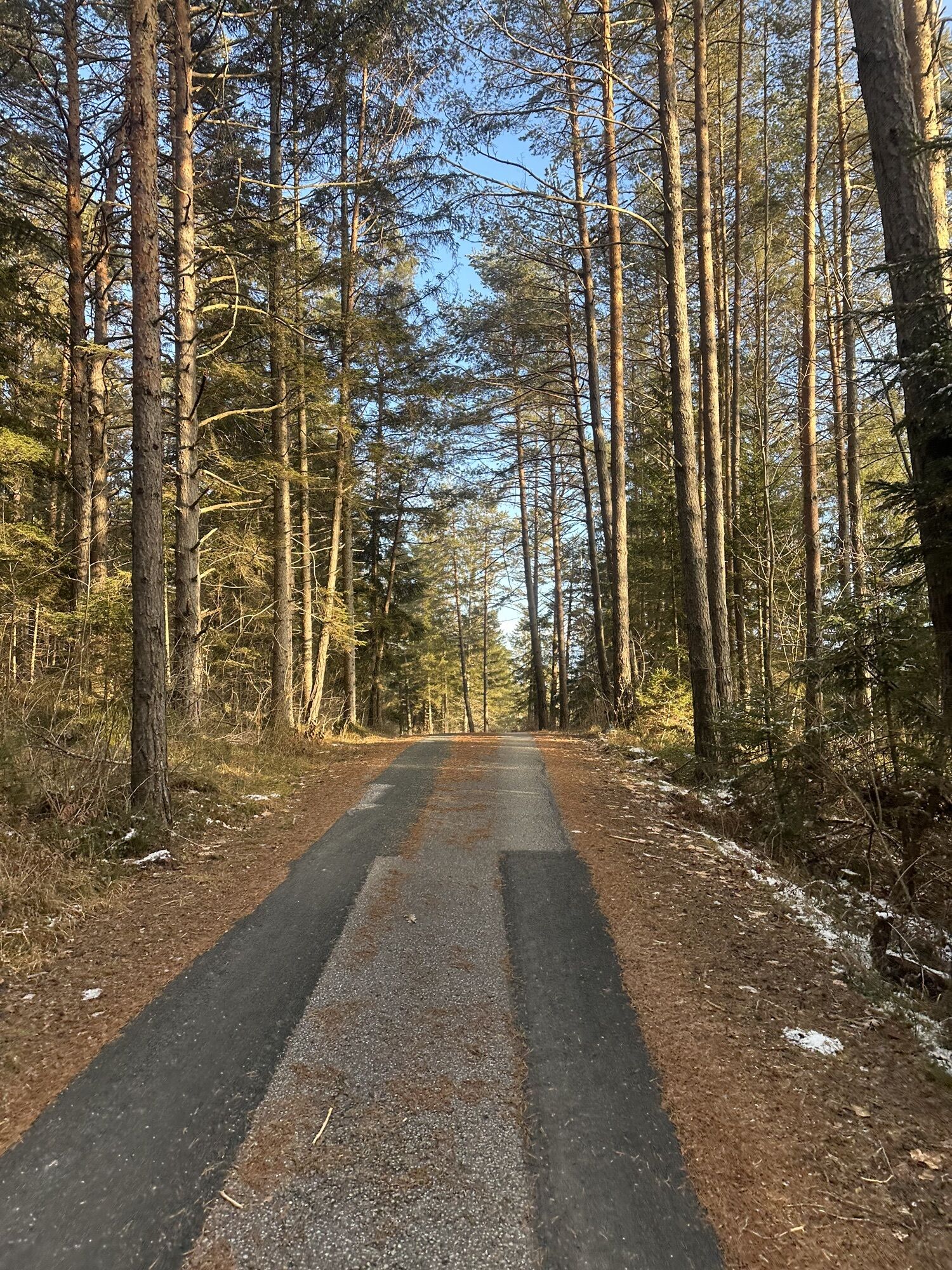
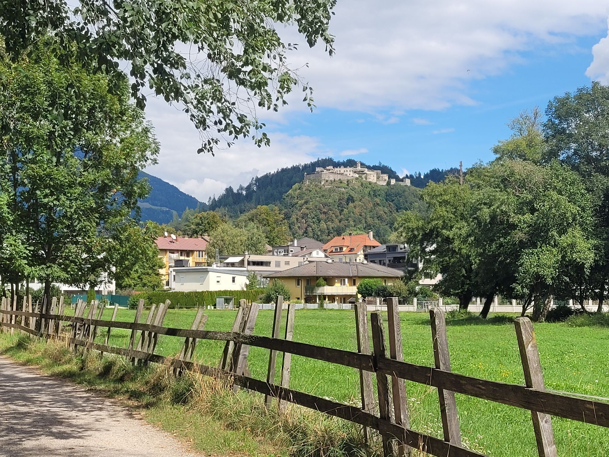
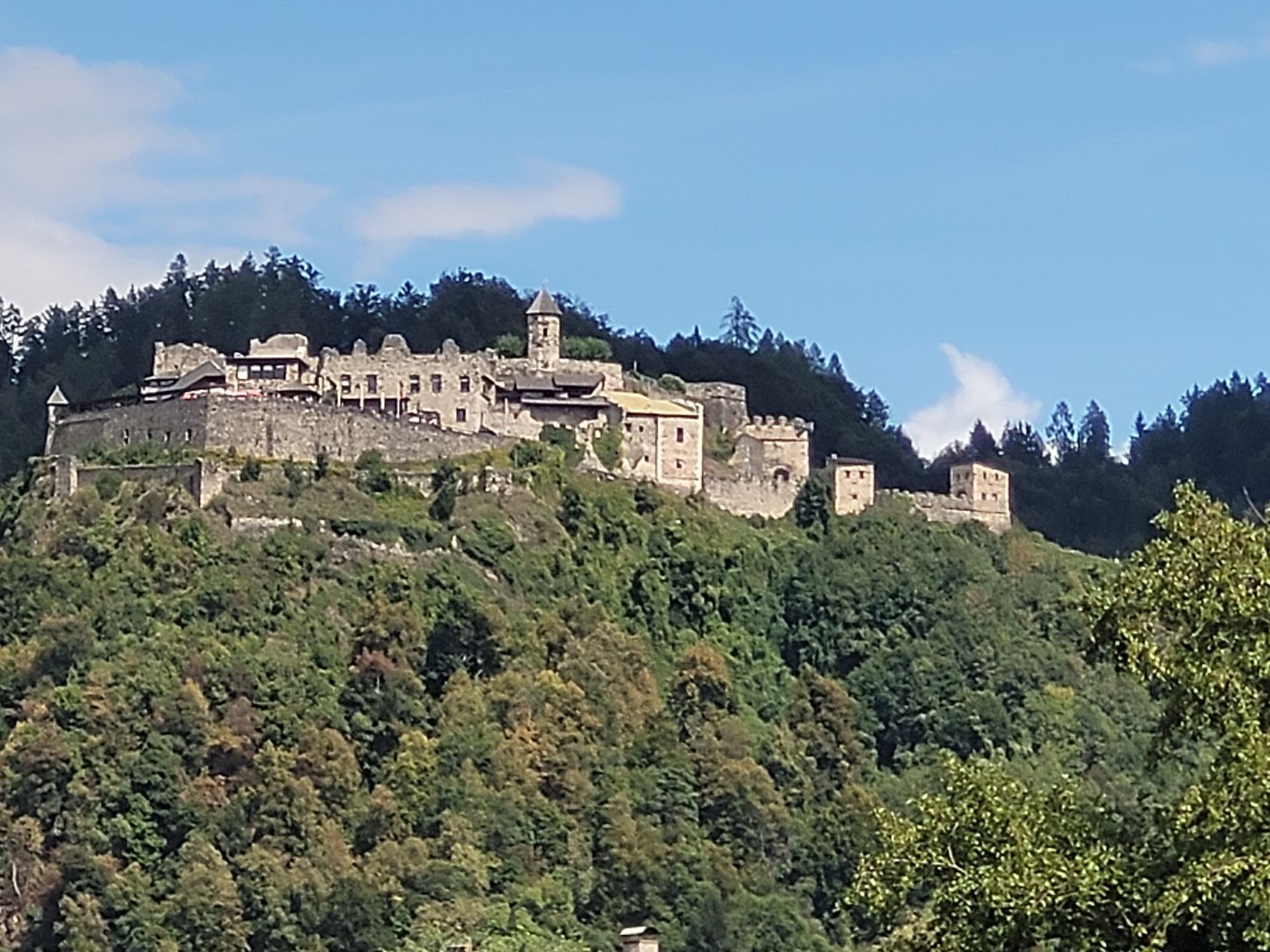

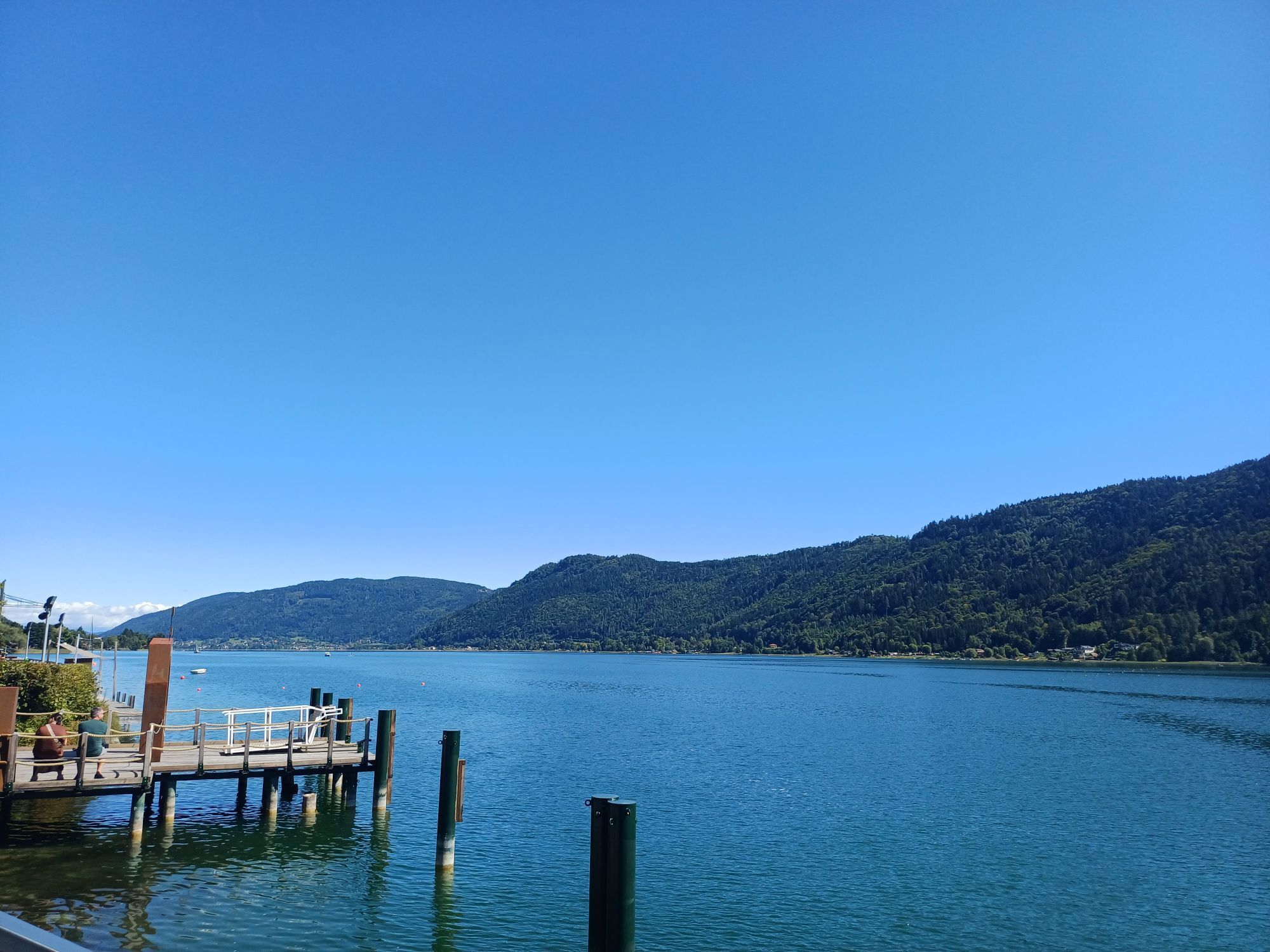
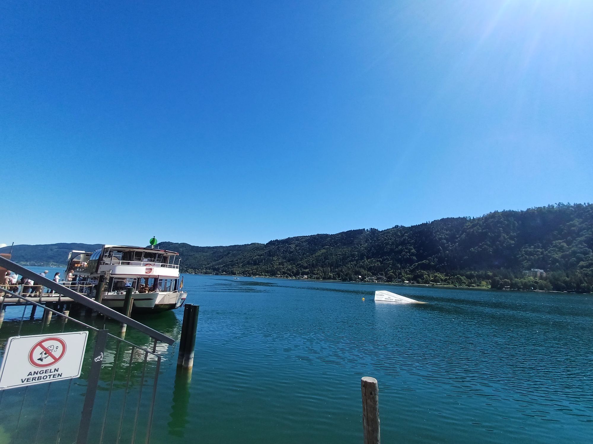
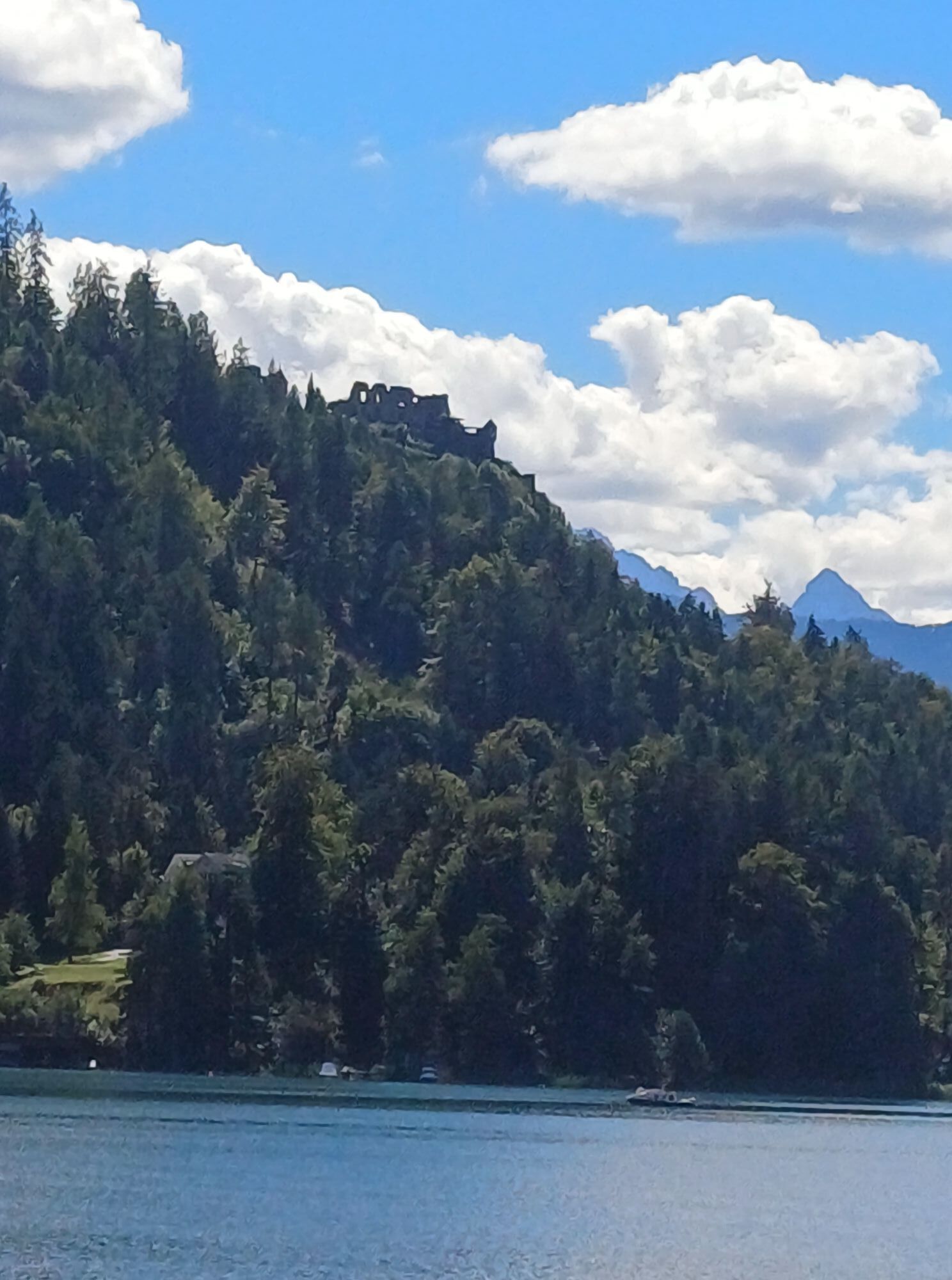
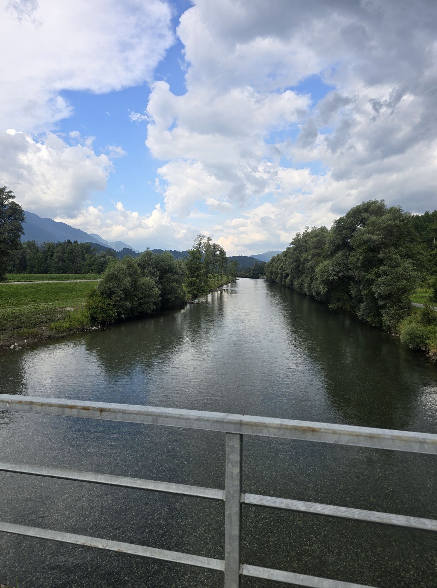
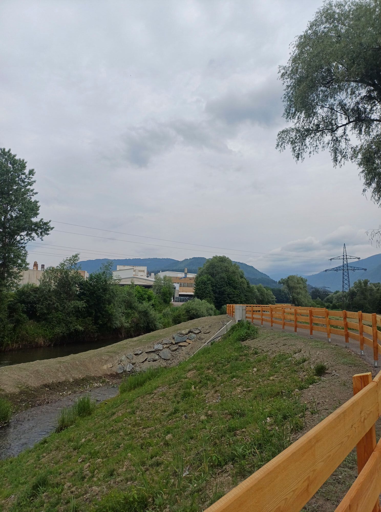
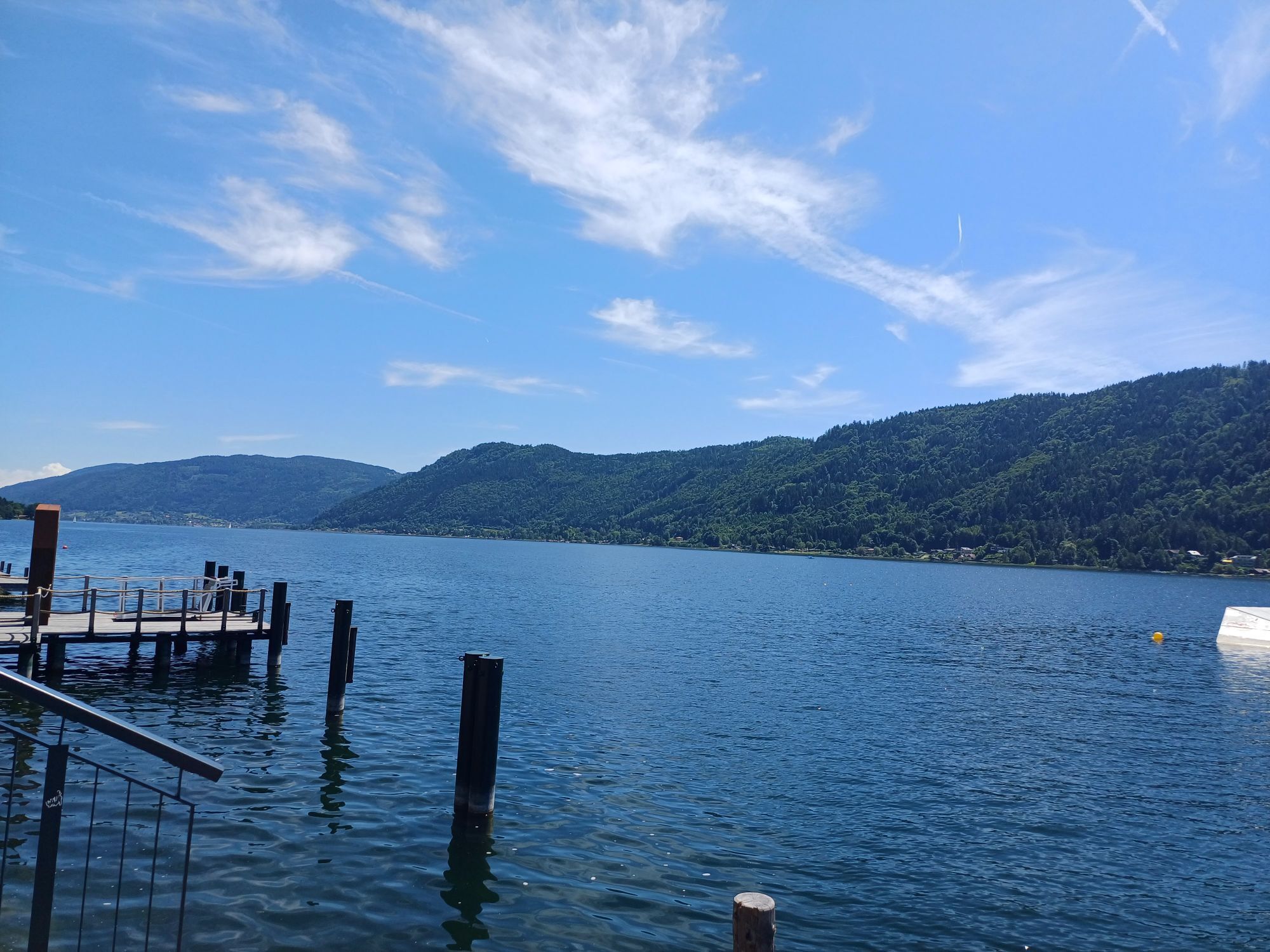
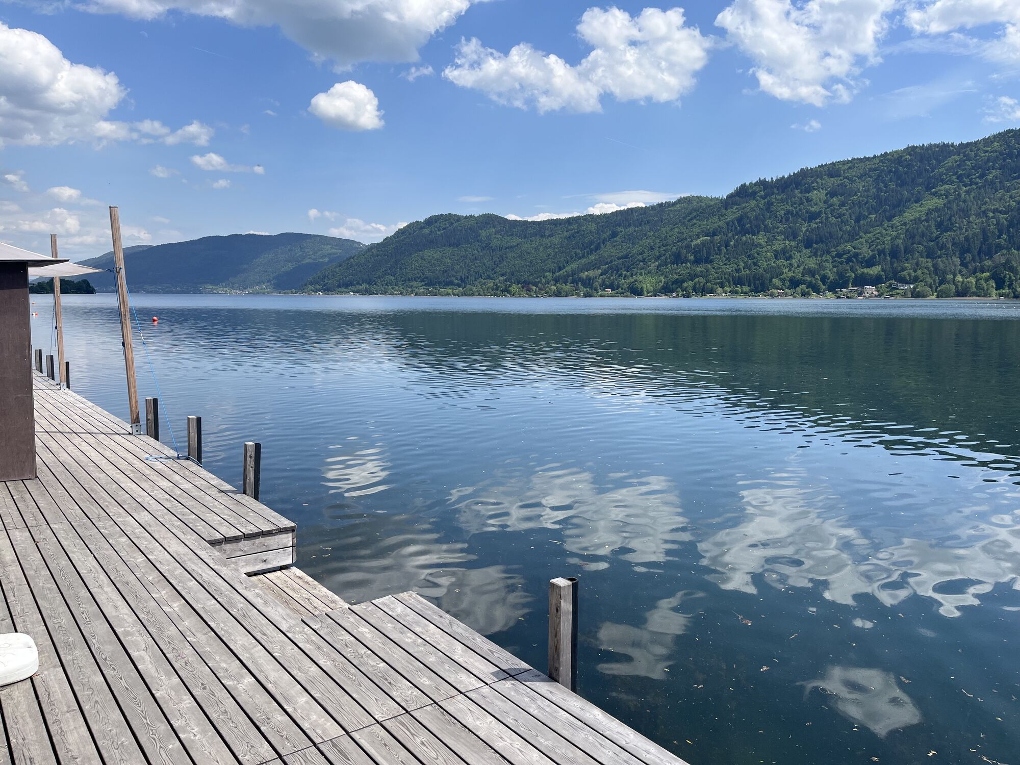
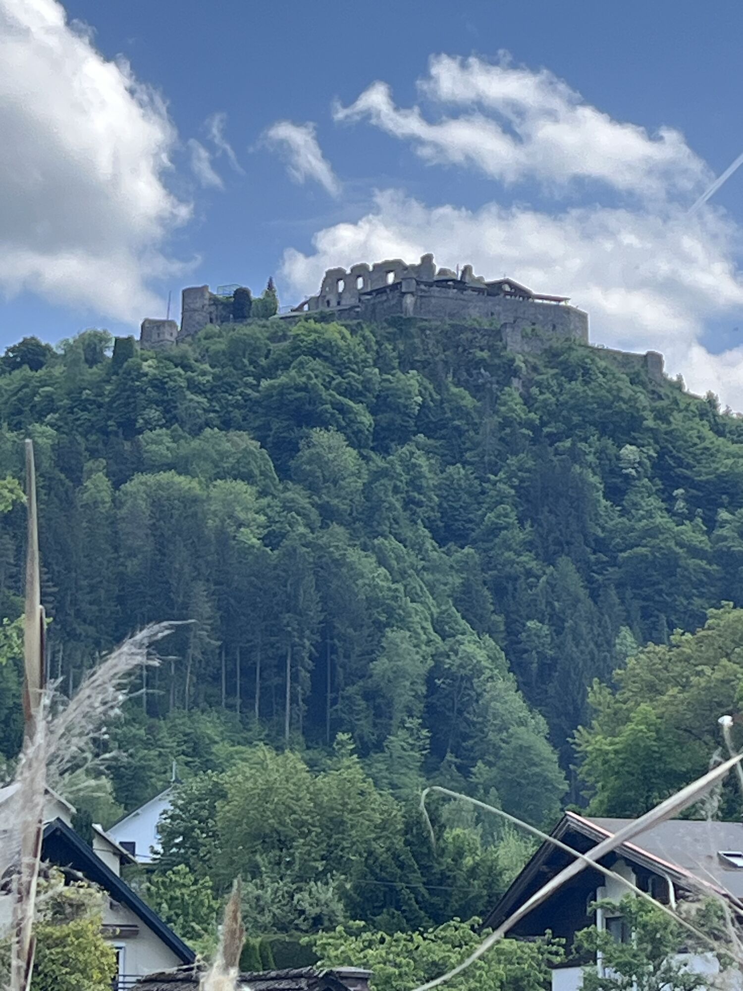
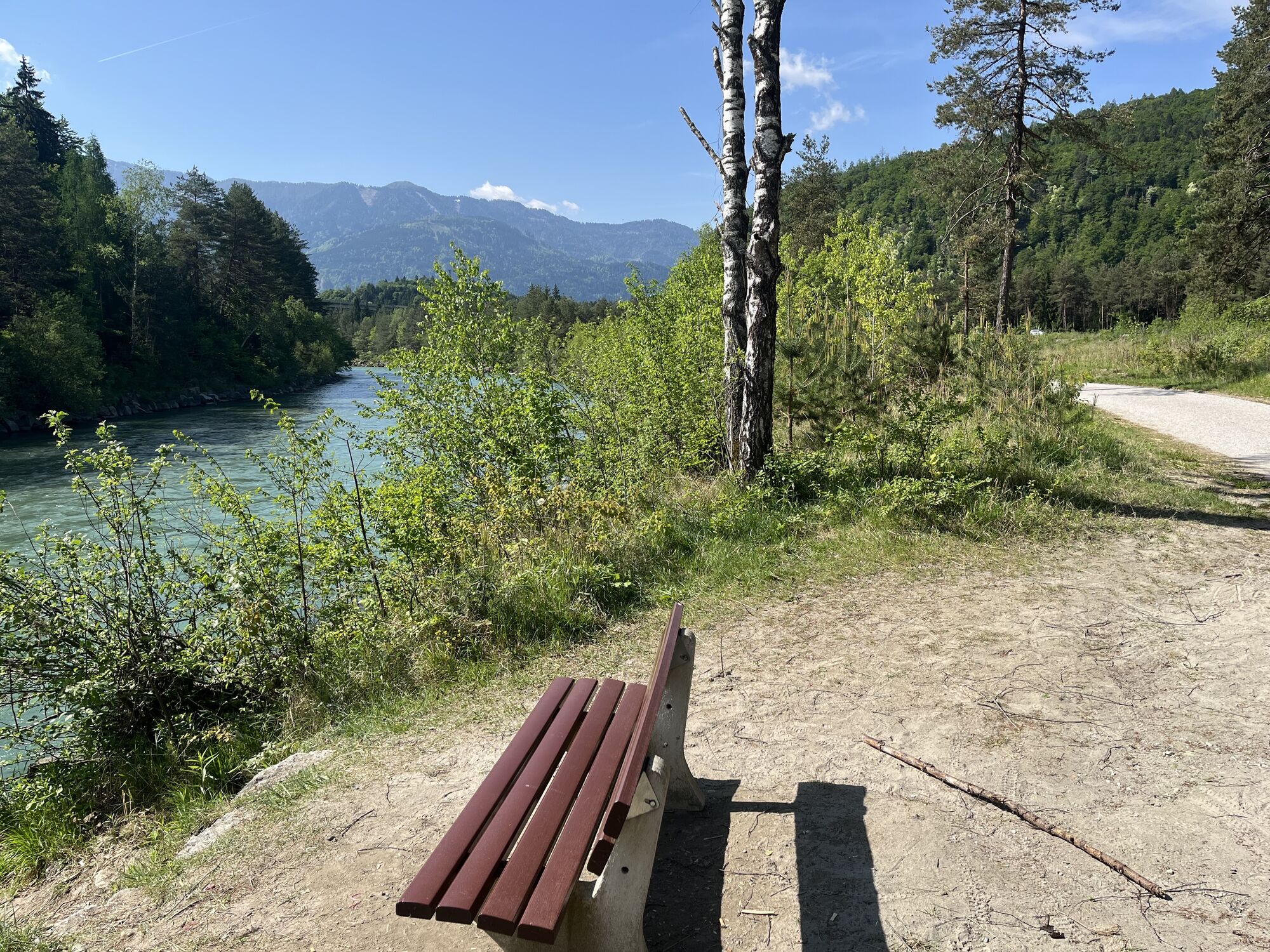
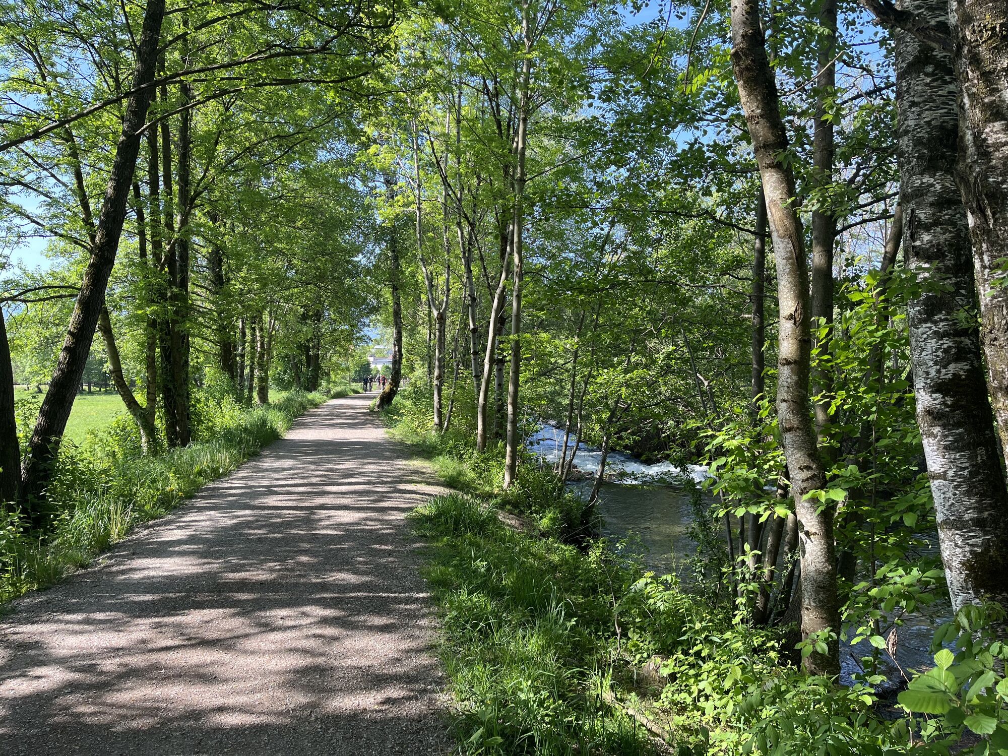
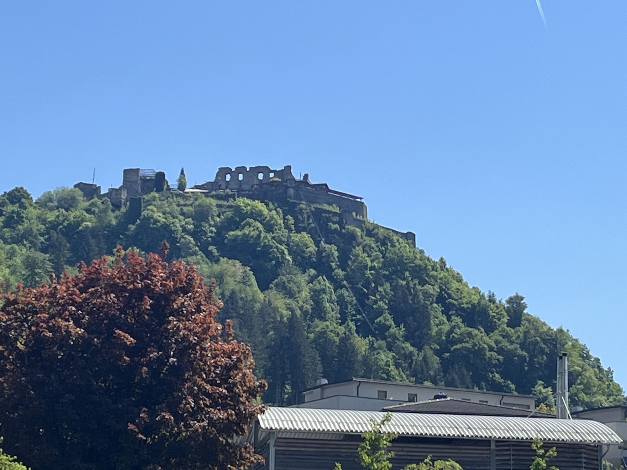
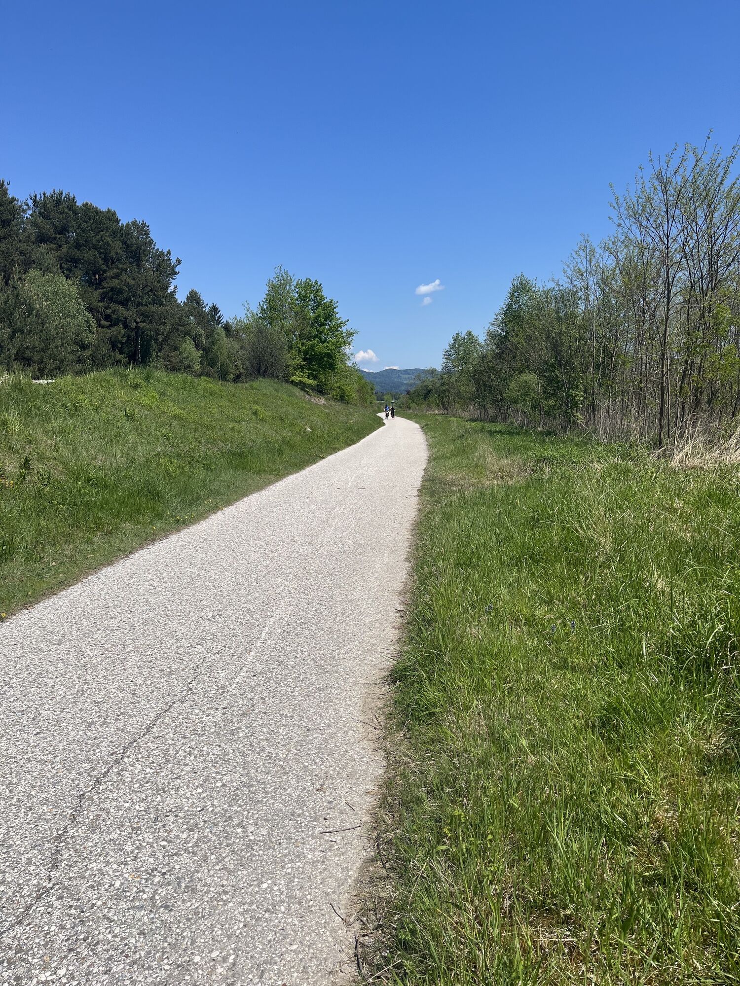
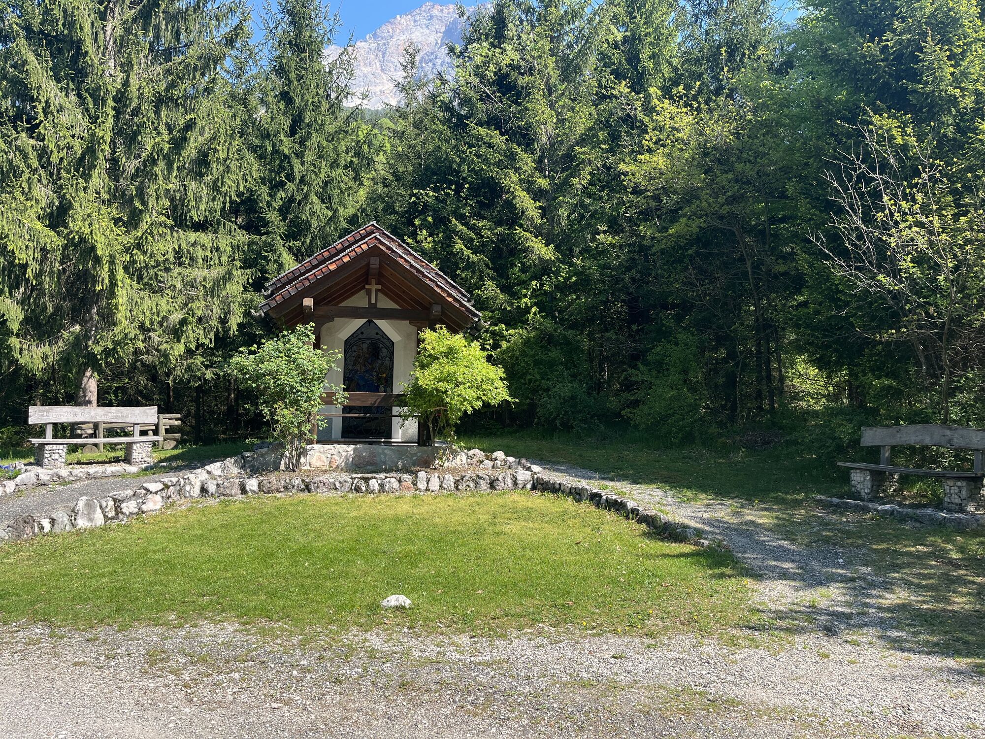
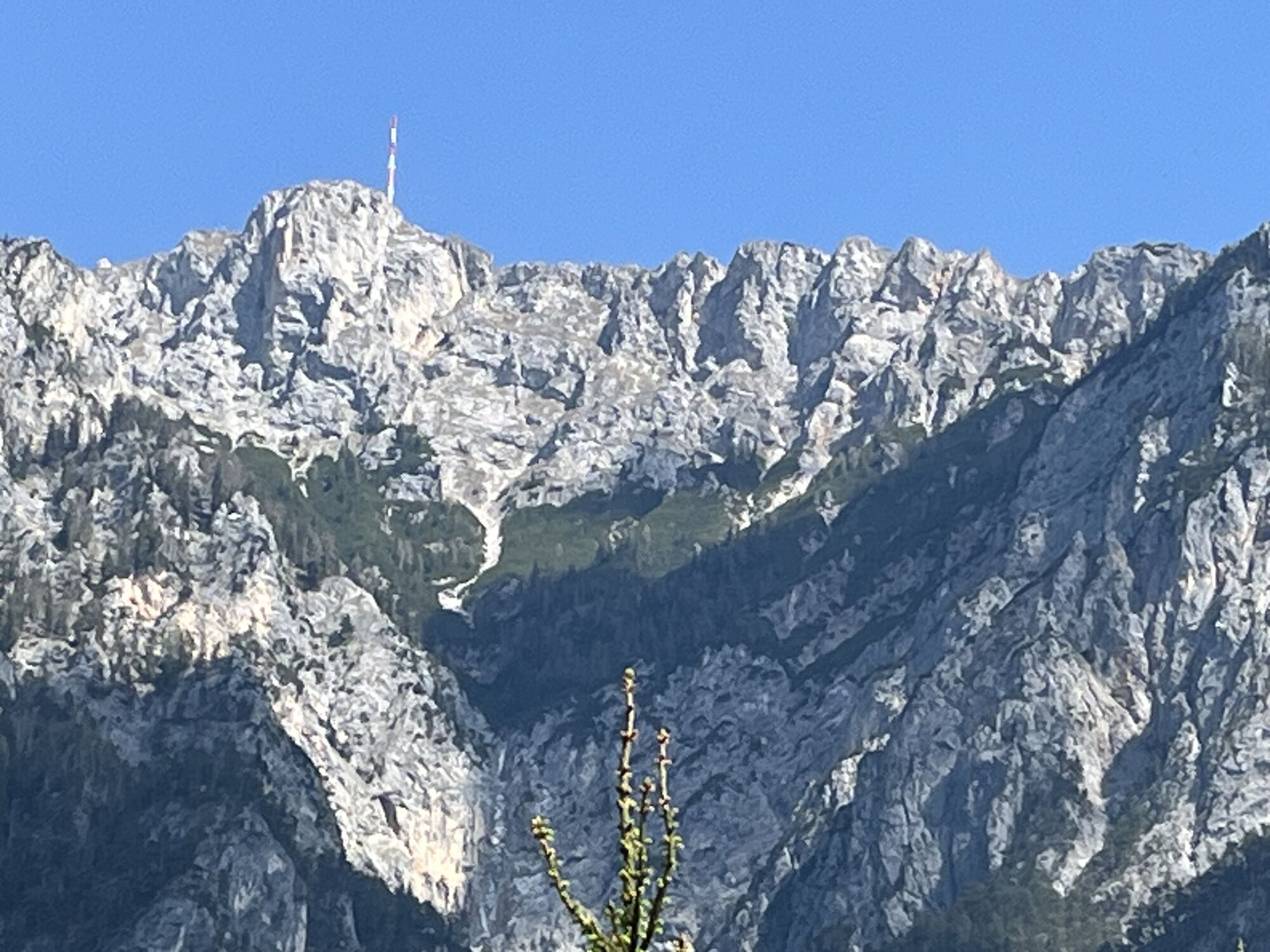
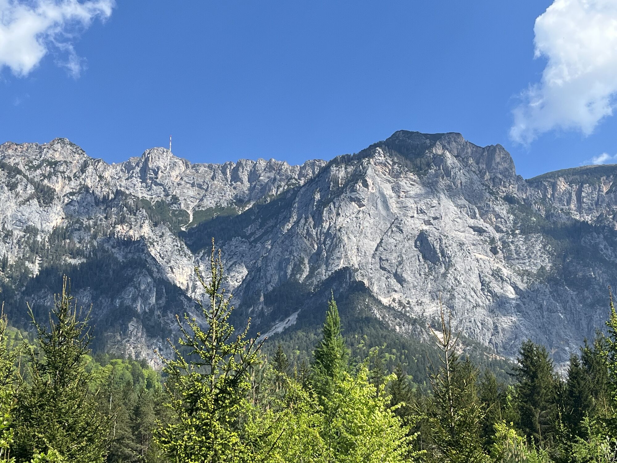
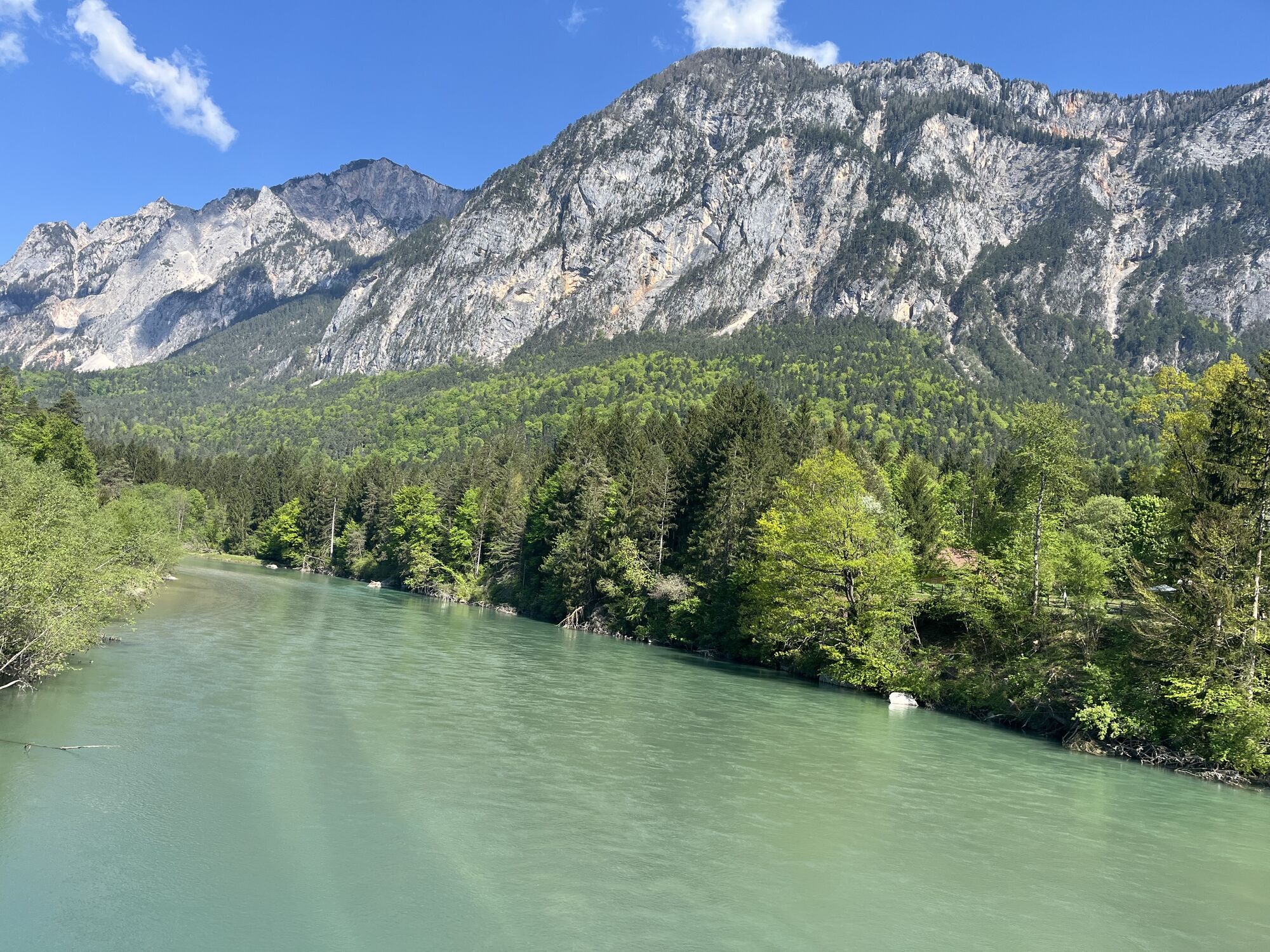
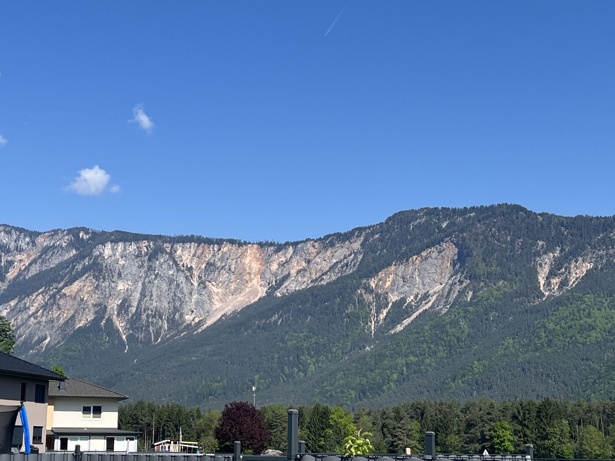
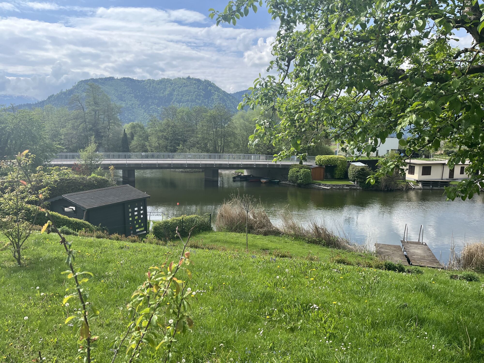
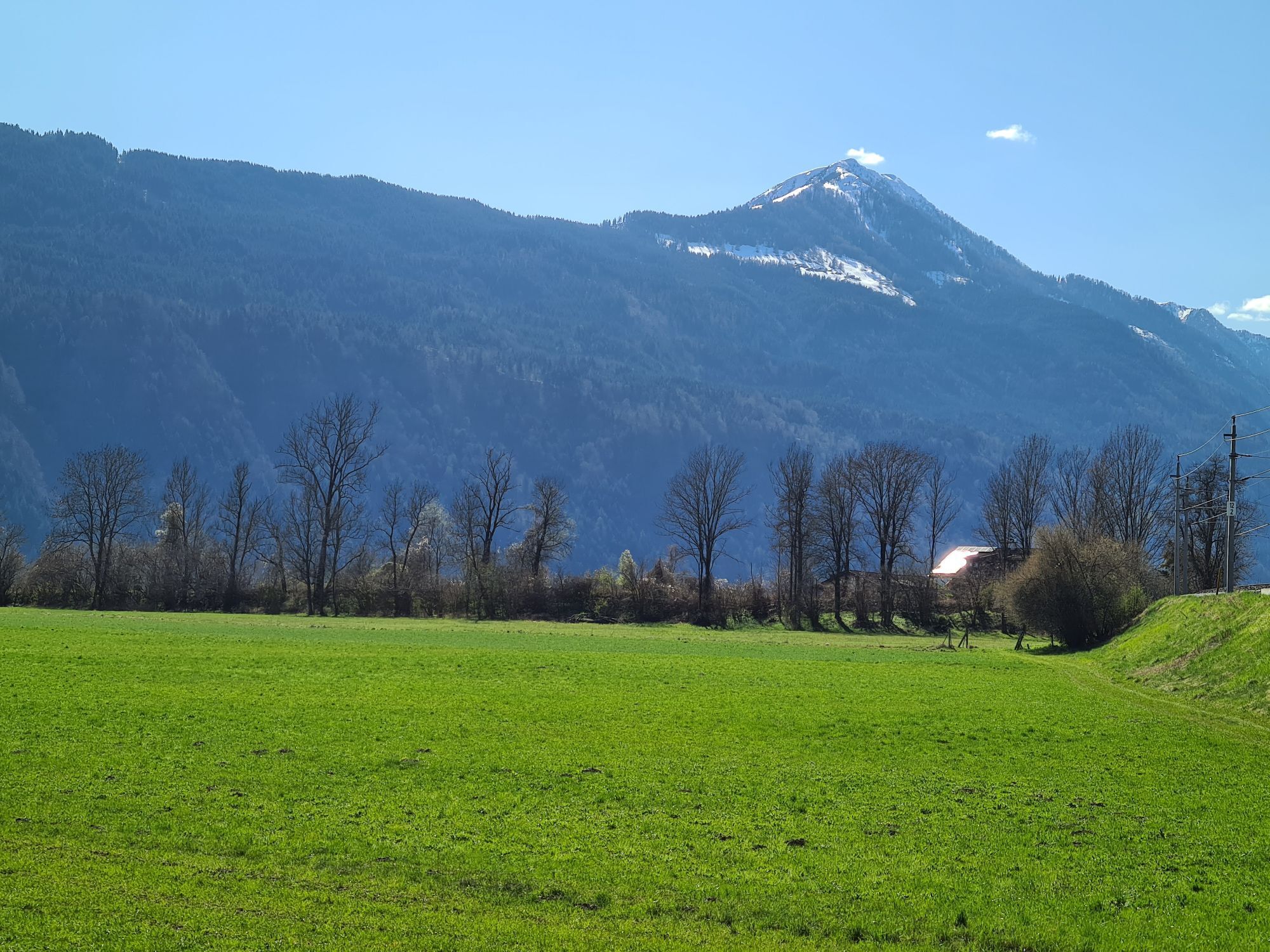

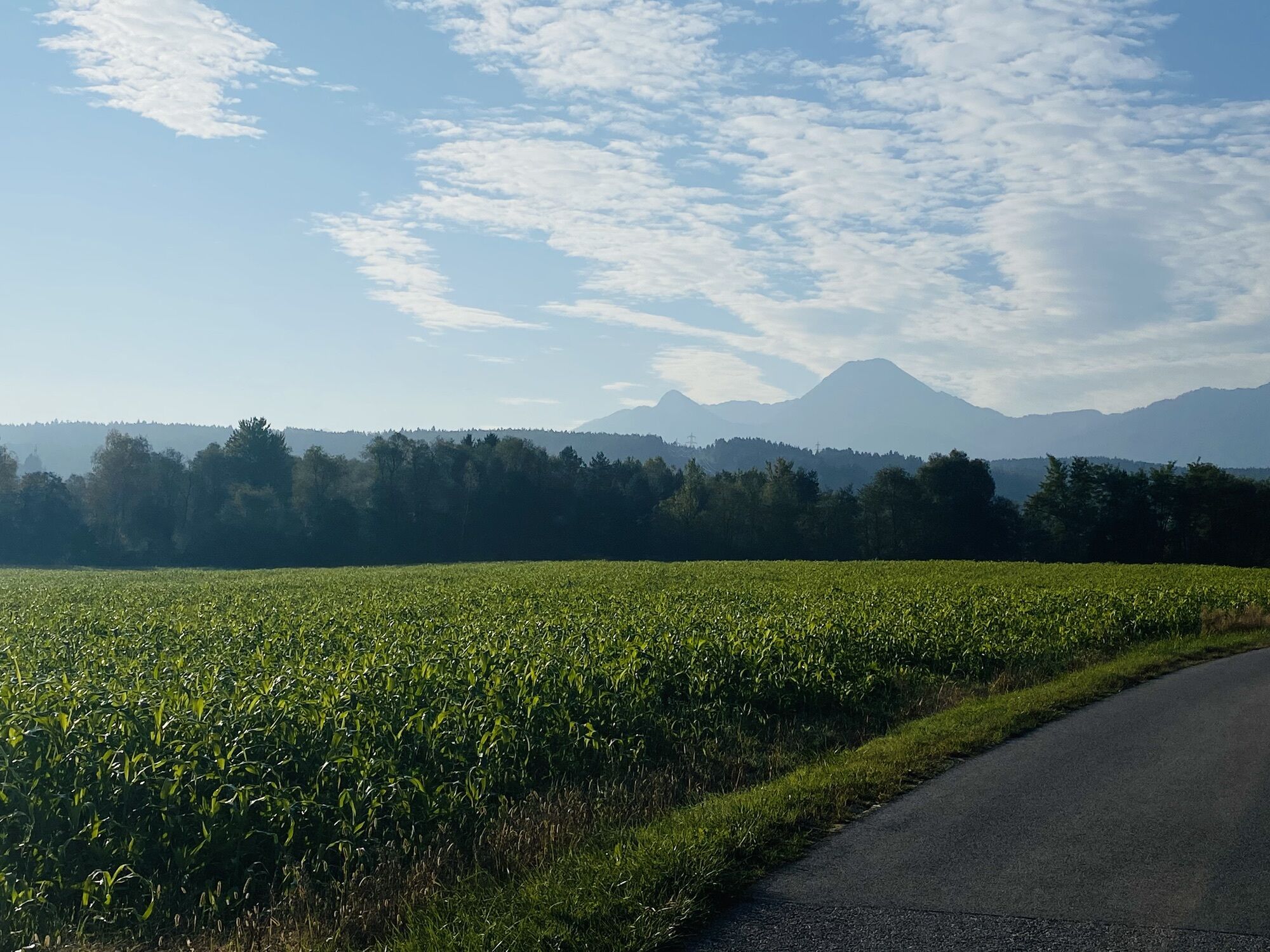
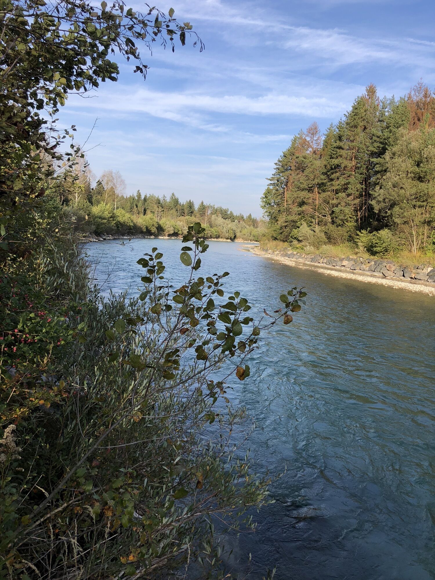
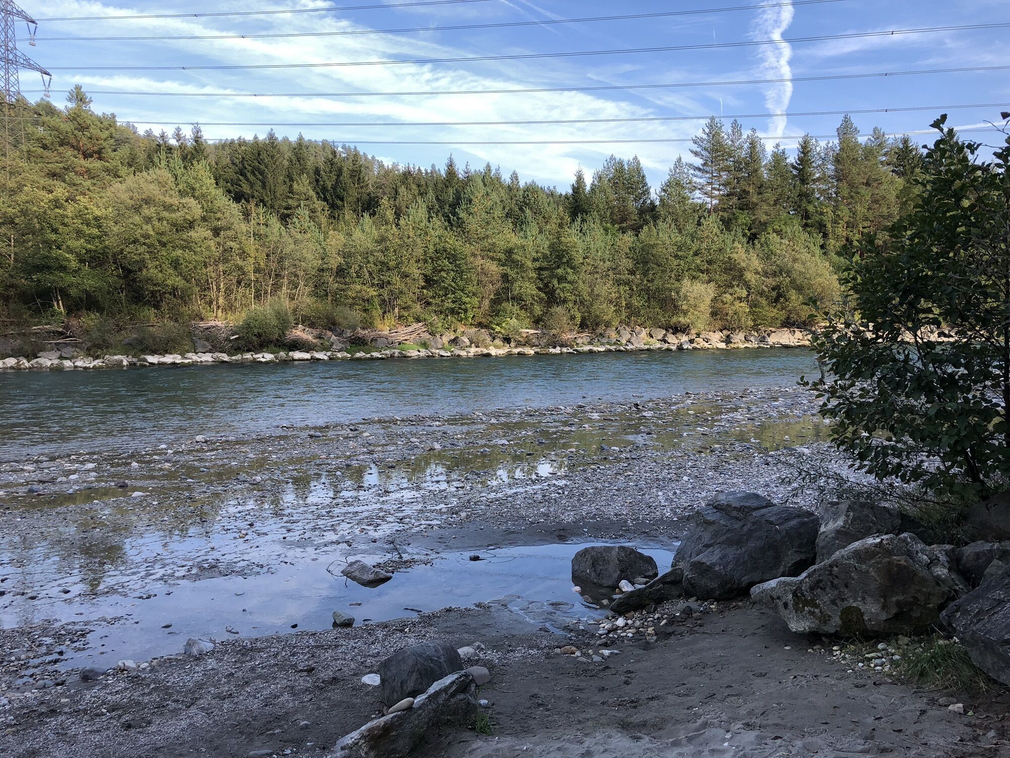
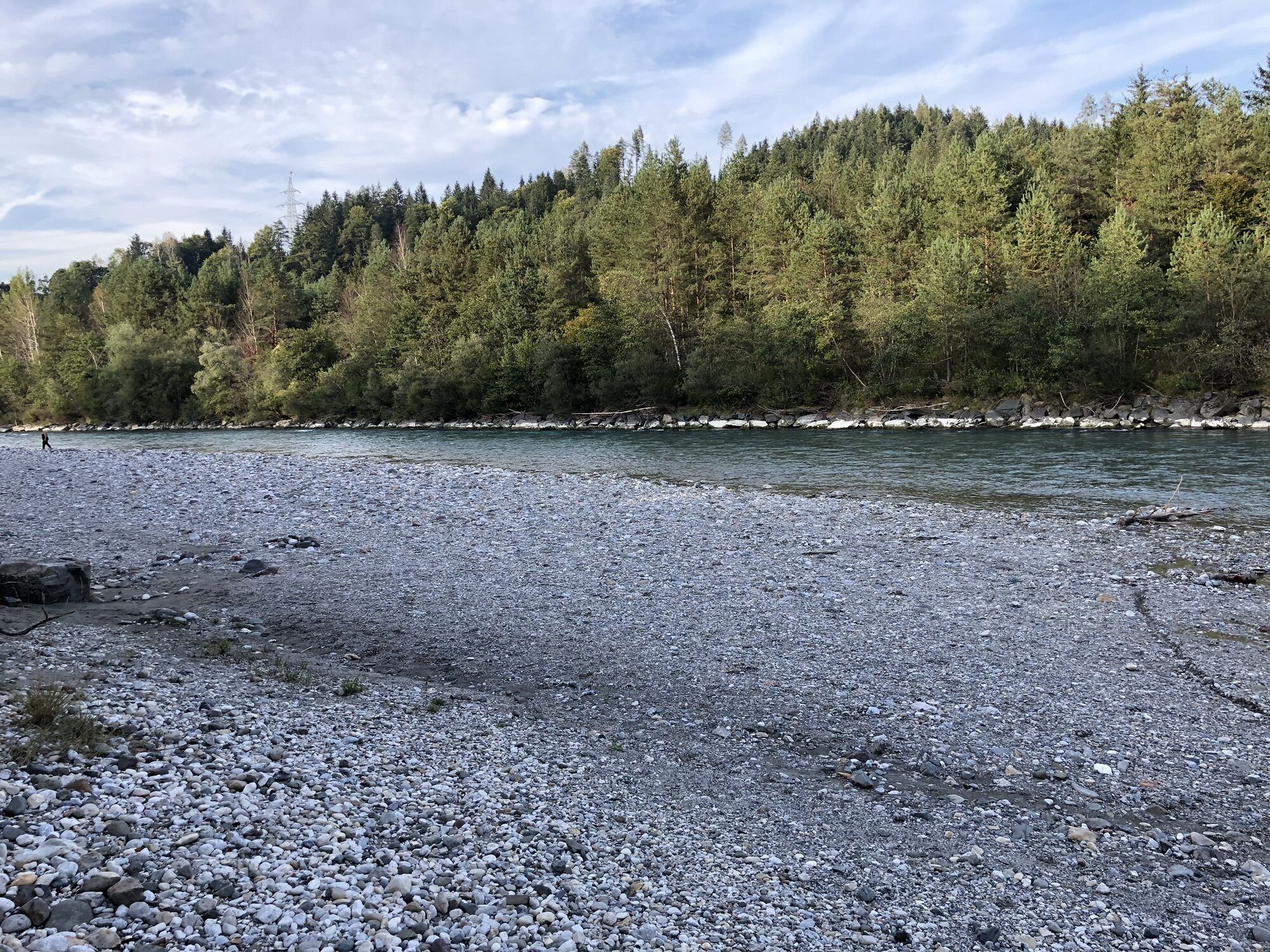
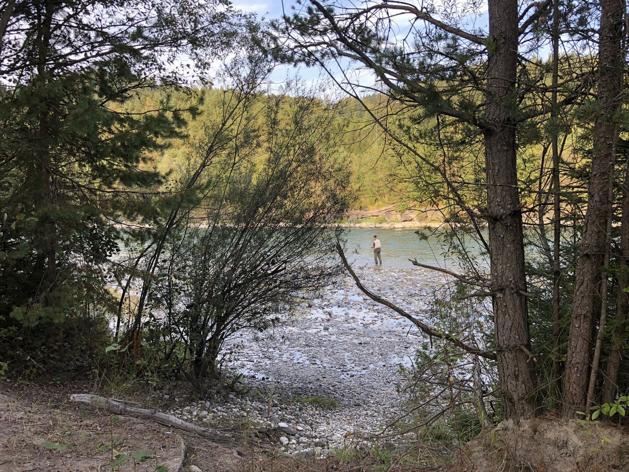
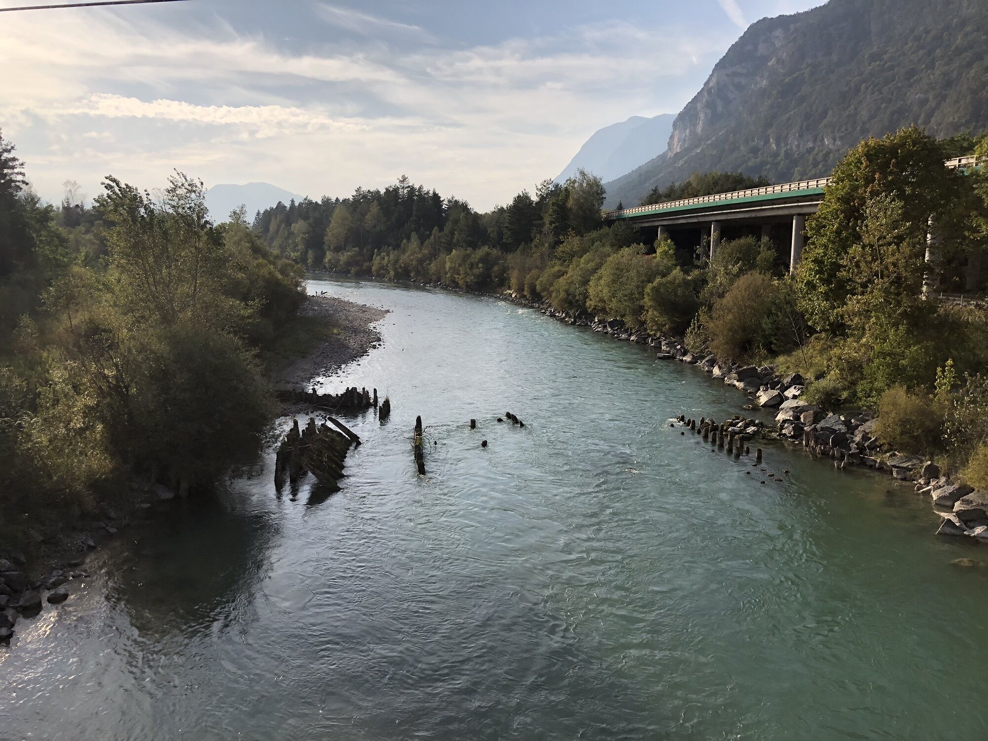
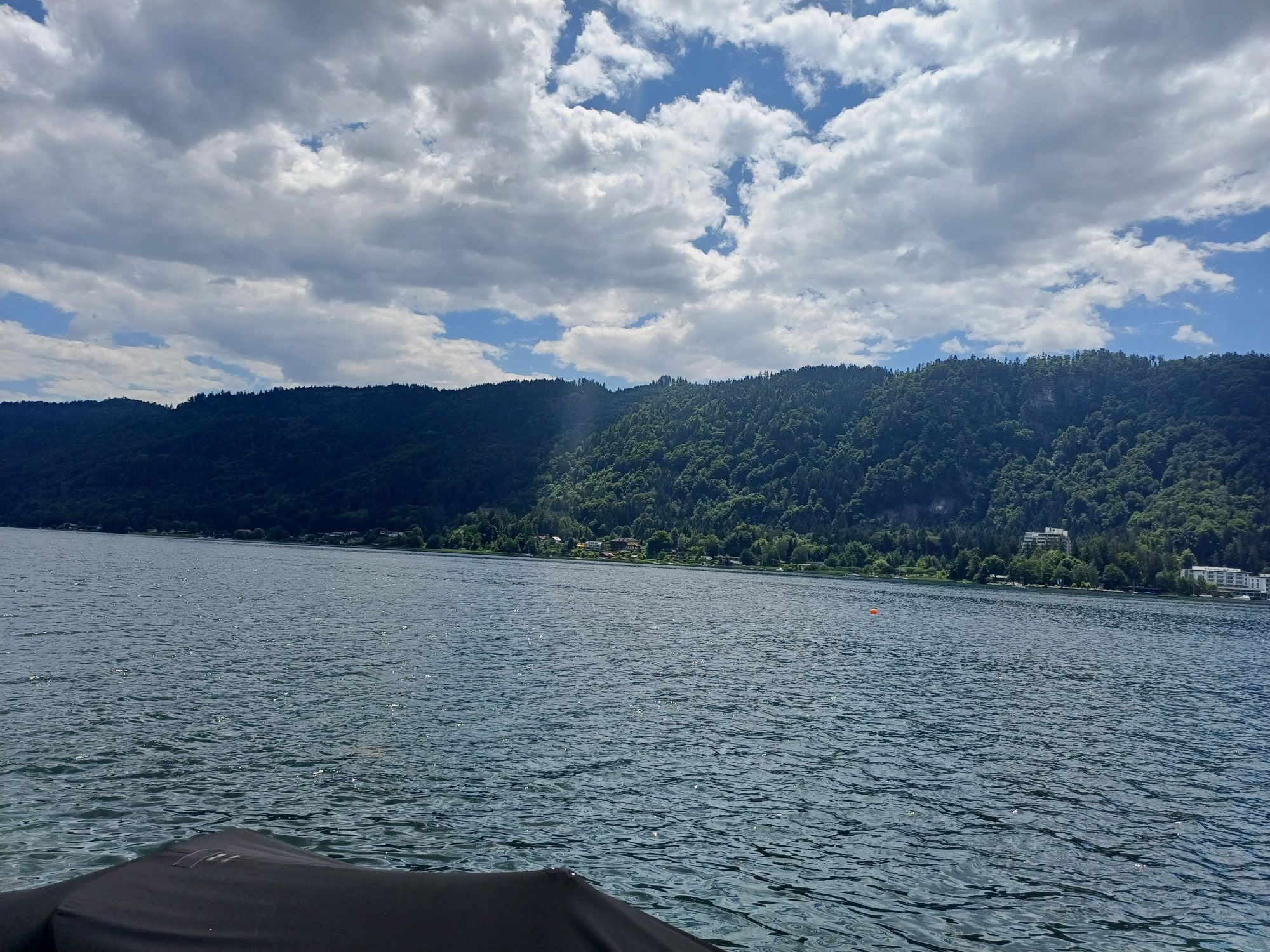
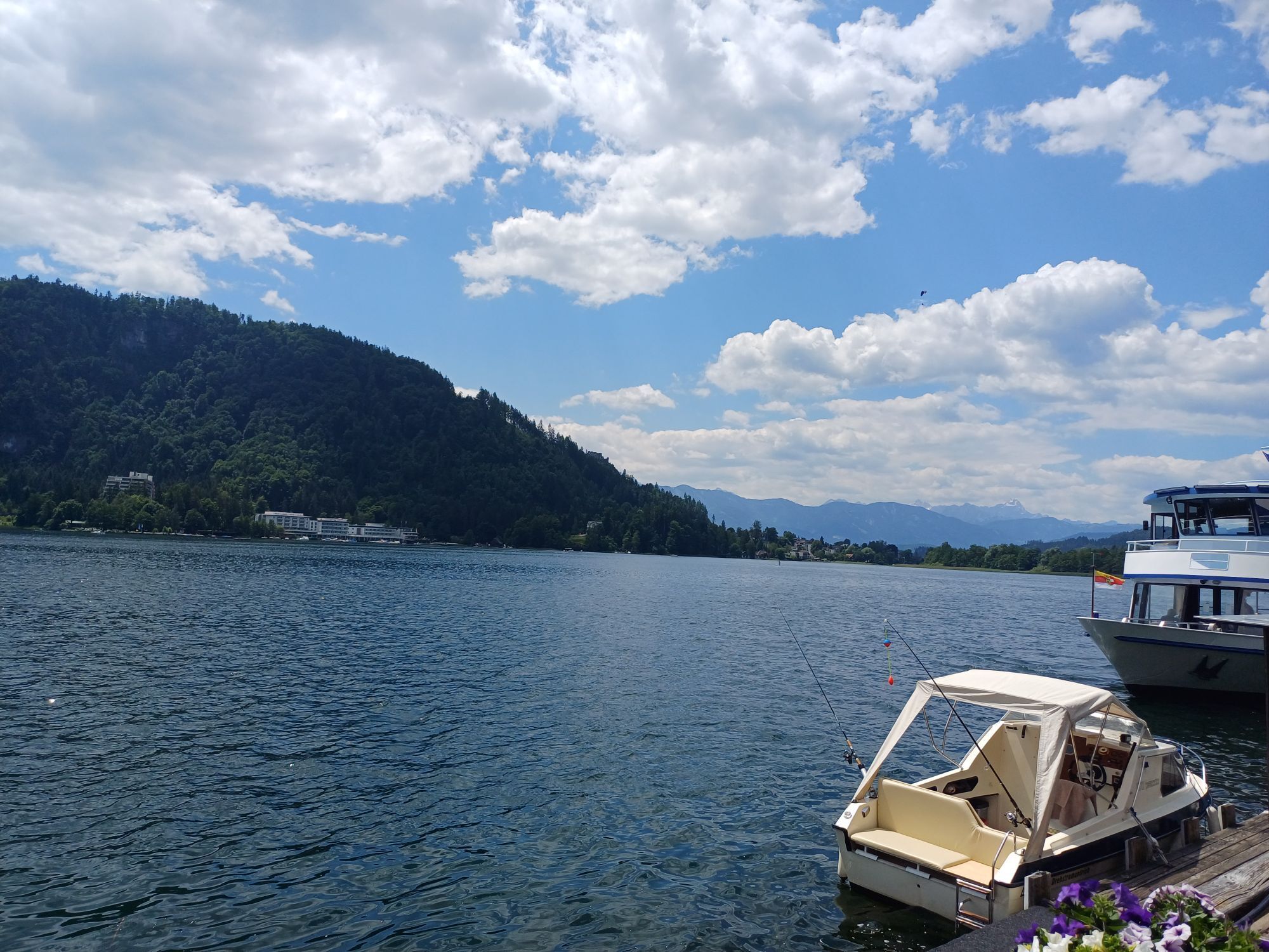
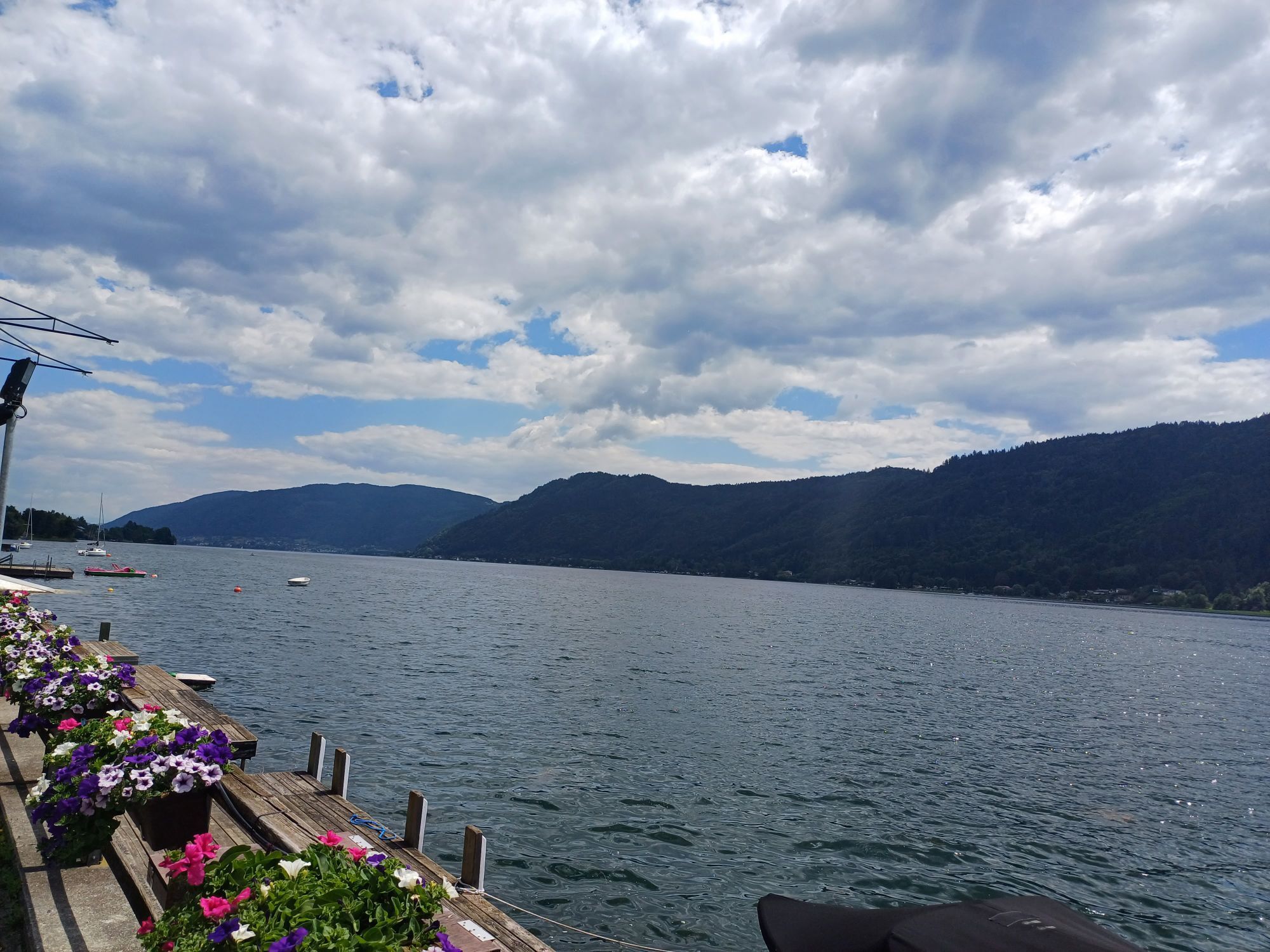
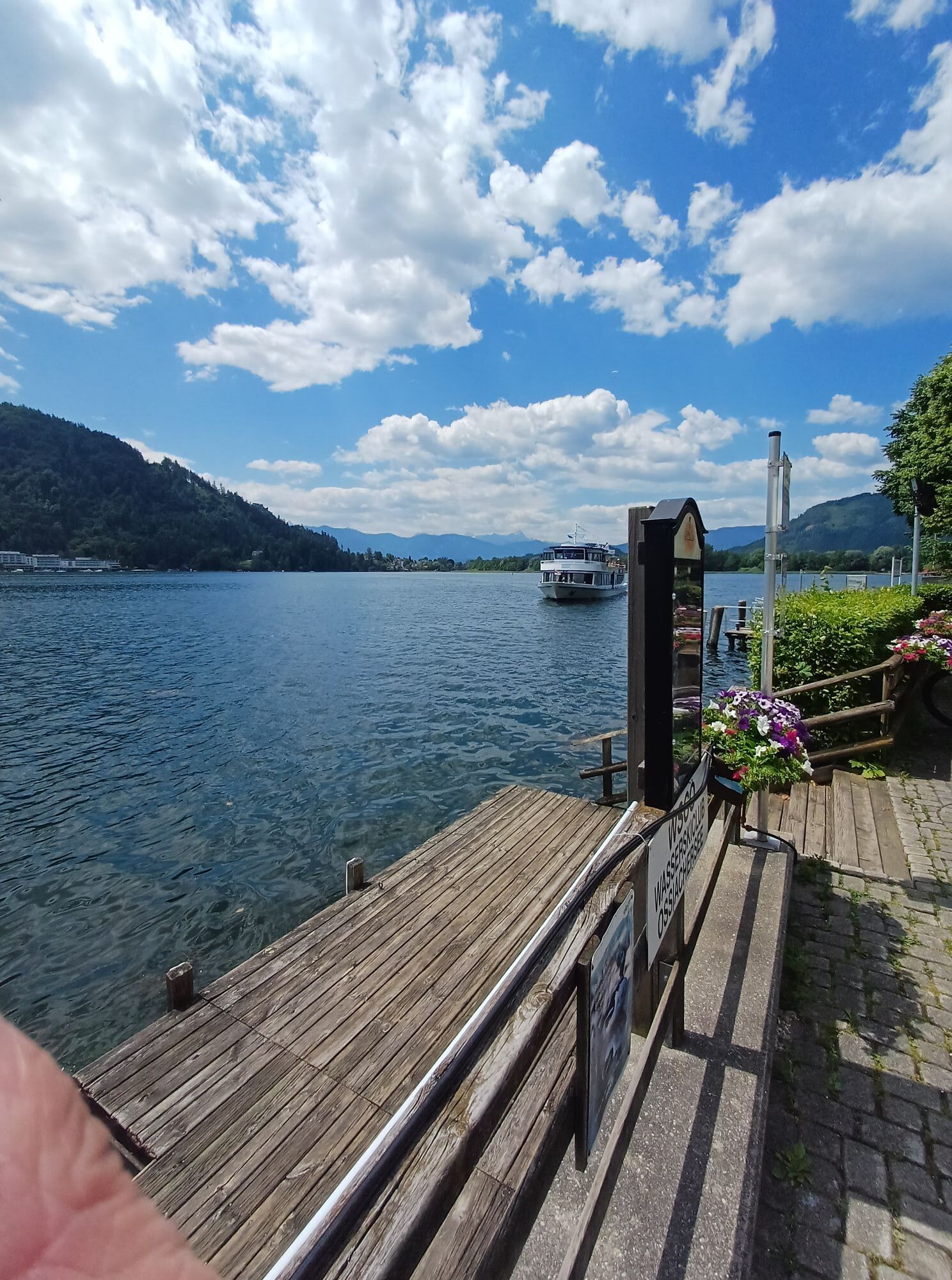
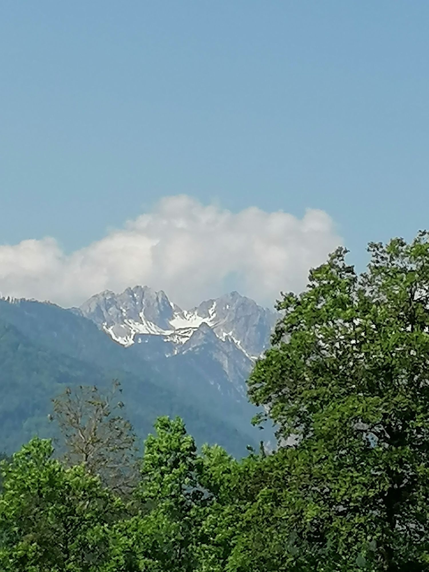
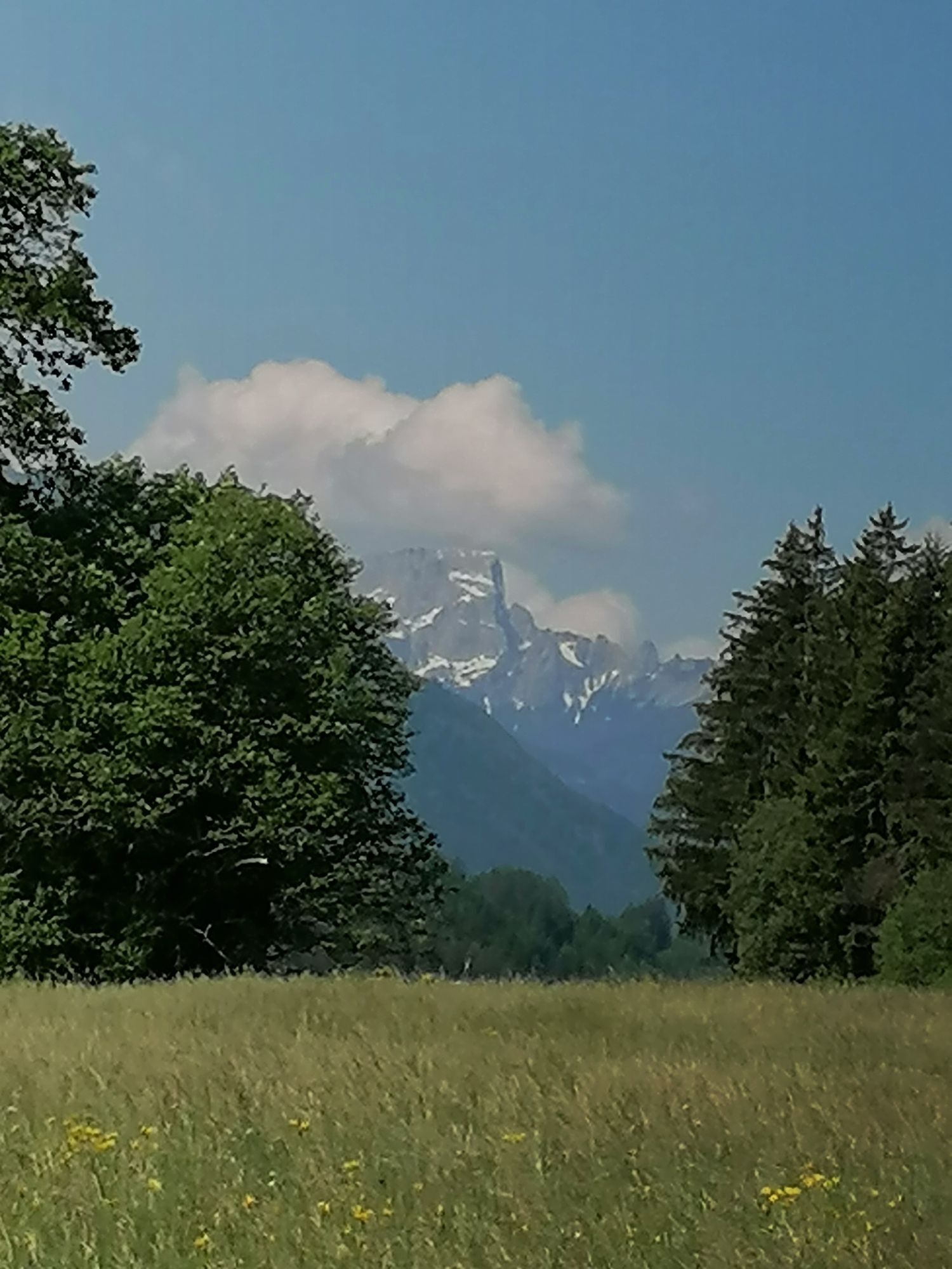
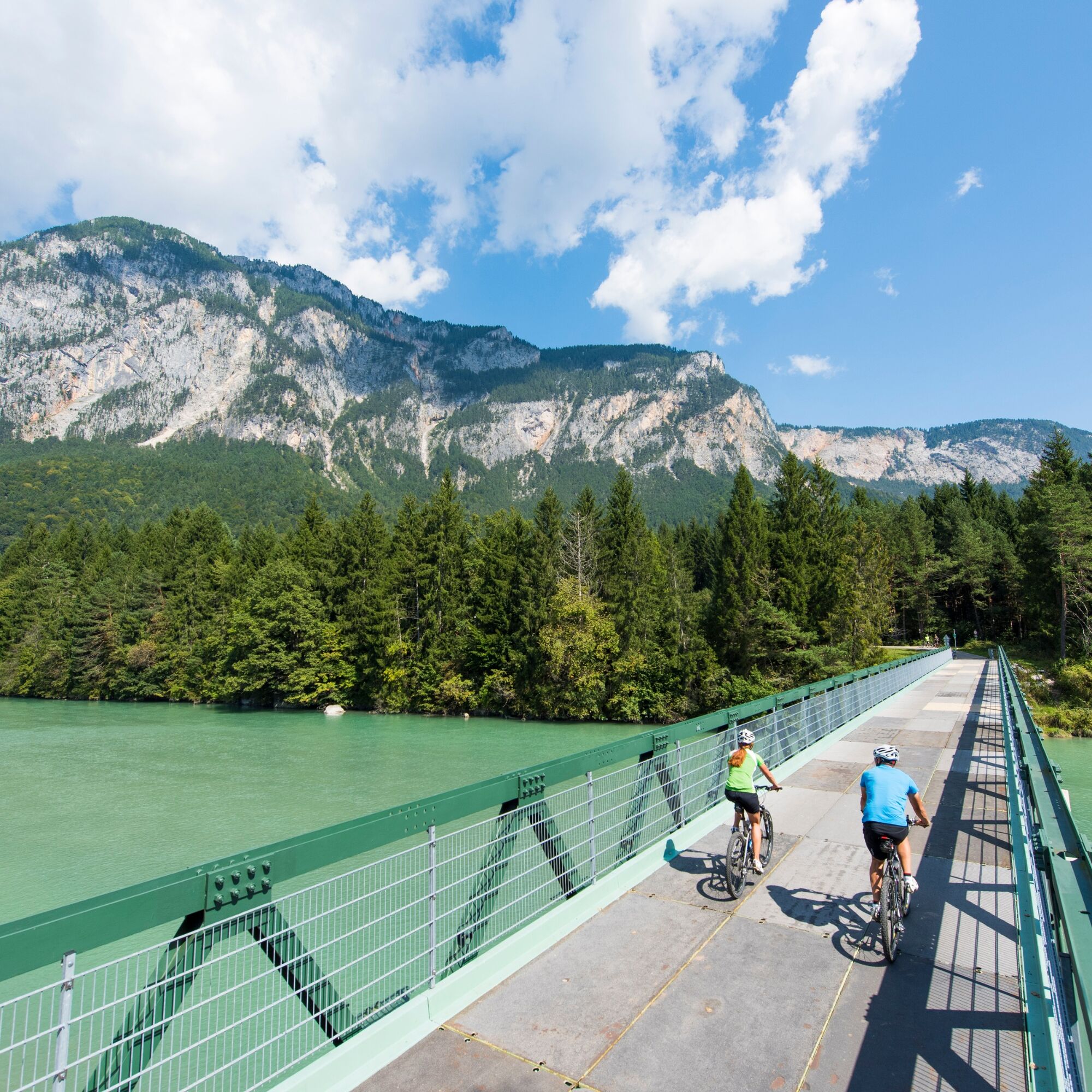
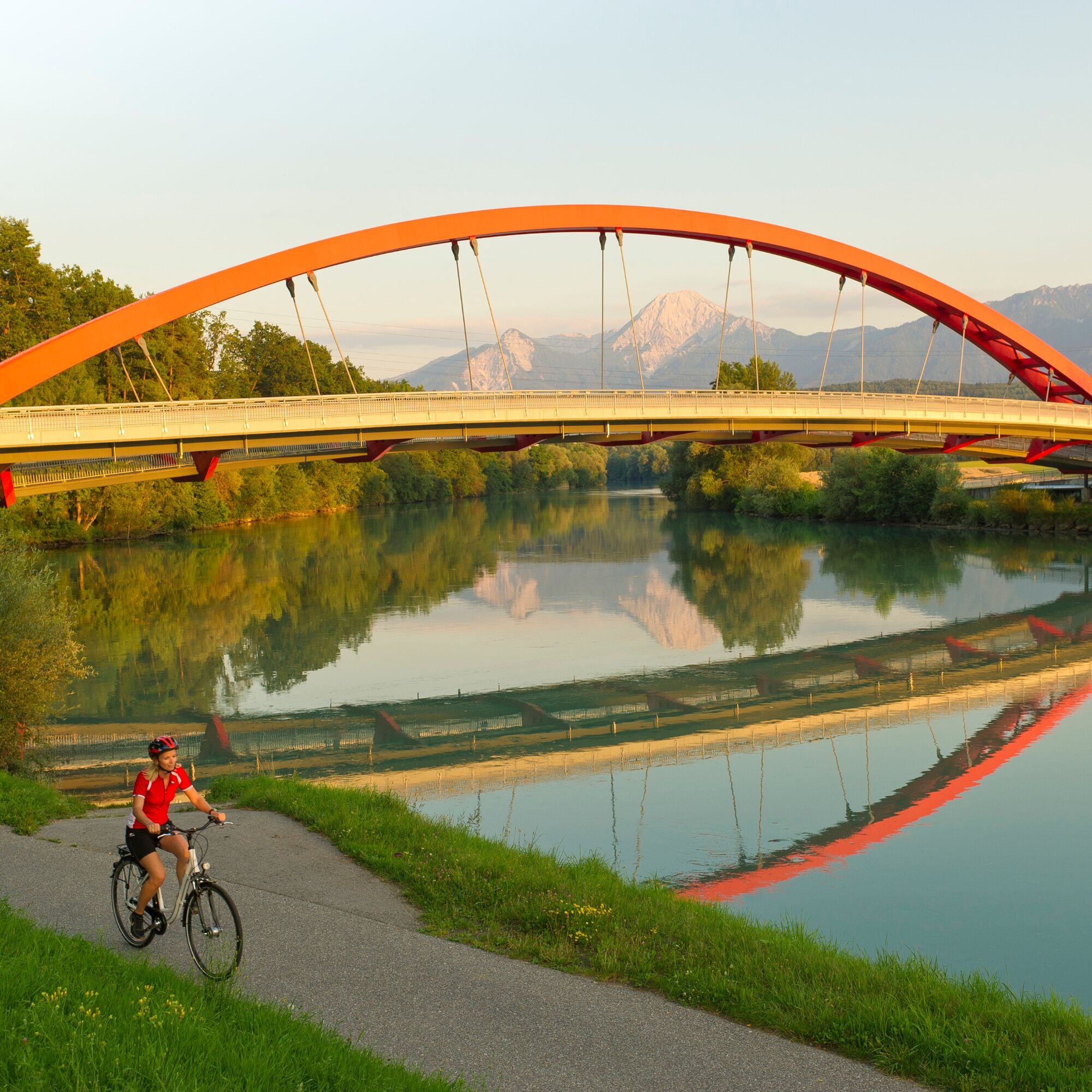
The bike route mostly runs along the Gail River, cycling through small villages and past old farms. You always have the surrounding mountain world of the Carnic and Gailtal Alps in view. The mostly traffic-free...
The bike route mostly runs along the Gail River, cycling through small villages and past old farms. You always have the surrounding mountain world of the Carnic and Gailtal Alps in view. The mostly traffic-free and asphalted cycle path generally even descends slightly and is therefore ideal for a leisurely bike excursion!
The first part of the bike tour leads through Burger Moos to Untervellach, to Lake Pressegger and further through the idyllic floodplain along the Gail to the Vorderberg natural swimming pond. After about 1:30 hours on the bike, you reach the village of Nötsch im Gailtal with the well-known Wiegele bakery and the Museum of the Nötscher Circle. The next village is Arnoldstein. Then you ride through the beautiful nature reserve at the Gail, the Schütt. There is an opportunity to stop at Almwirtschaft Schütt! At Seebach, you leave the R3 bike path on the Gail and continue via the R2 bike path through Landskron back to Lake Ossiach.
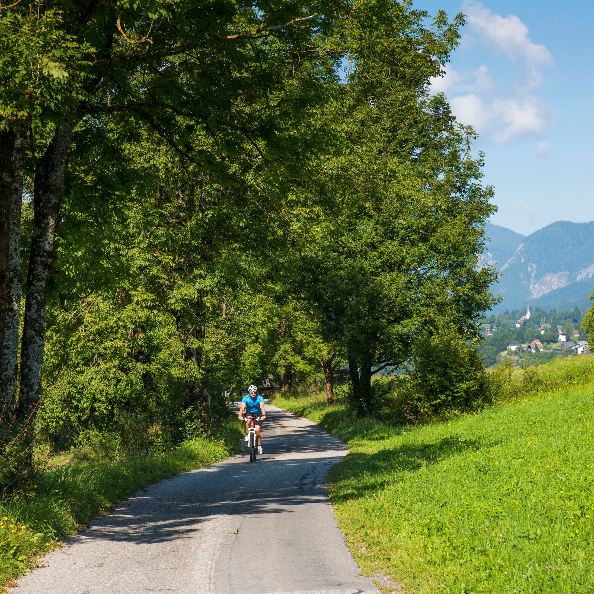
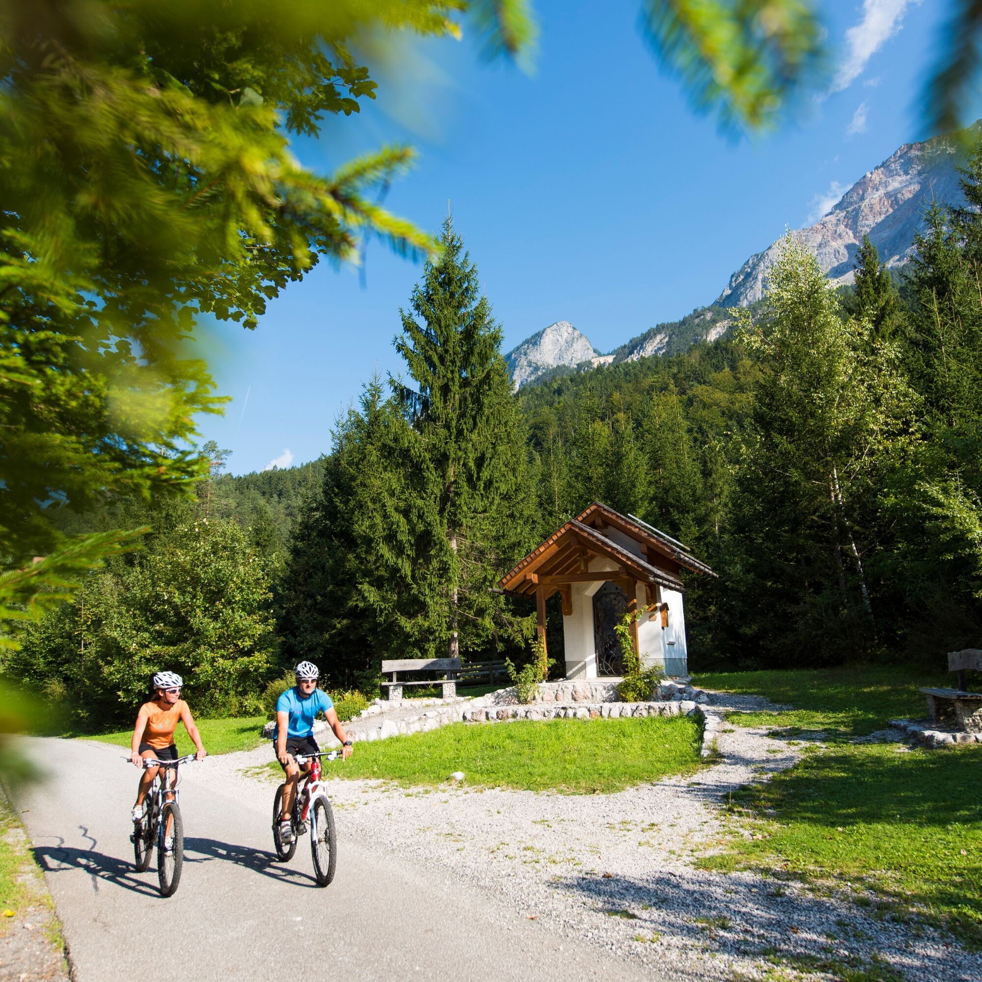
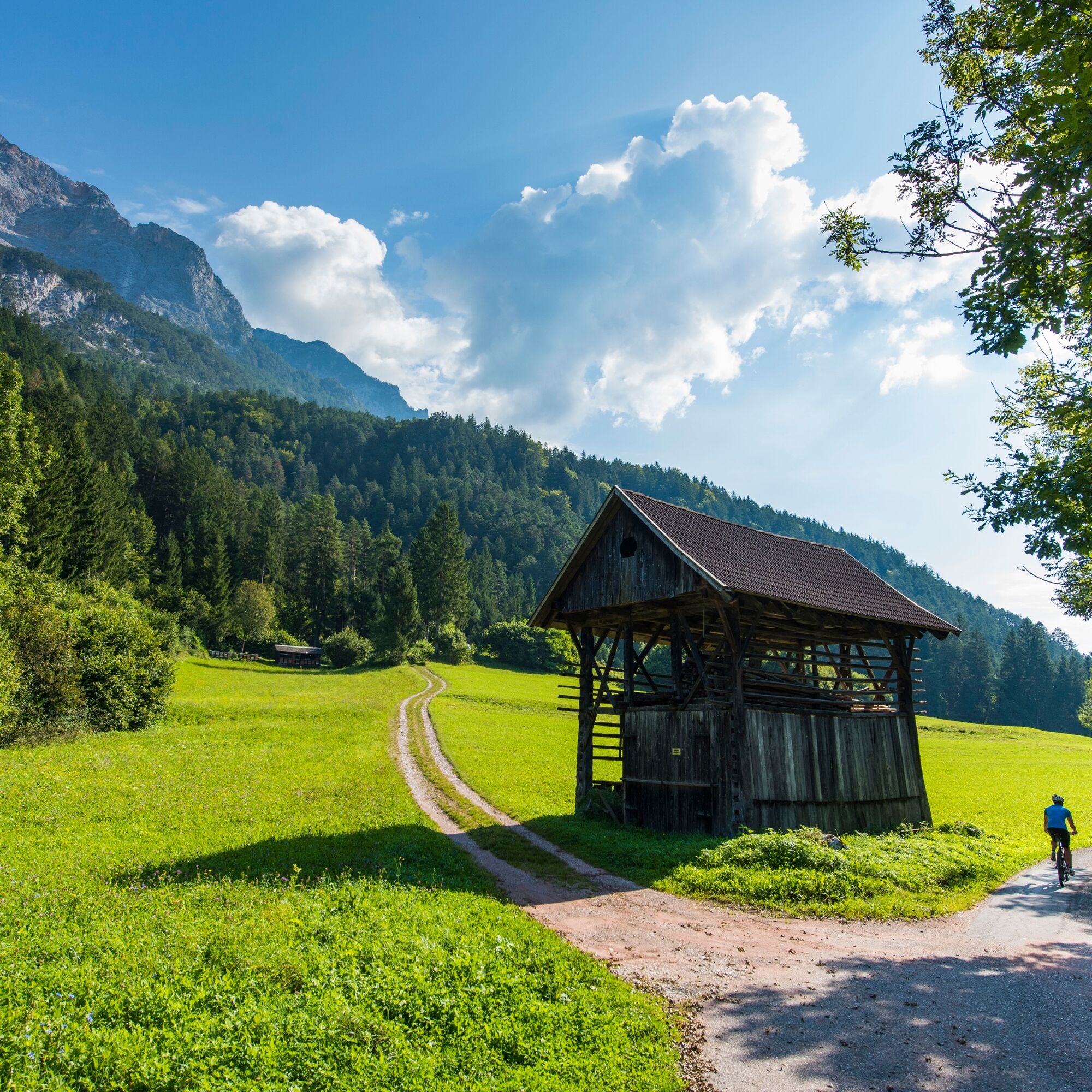
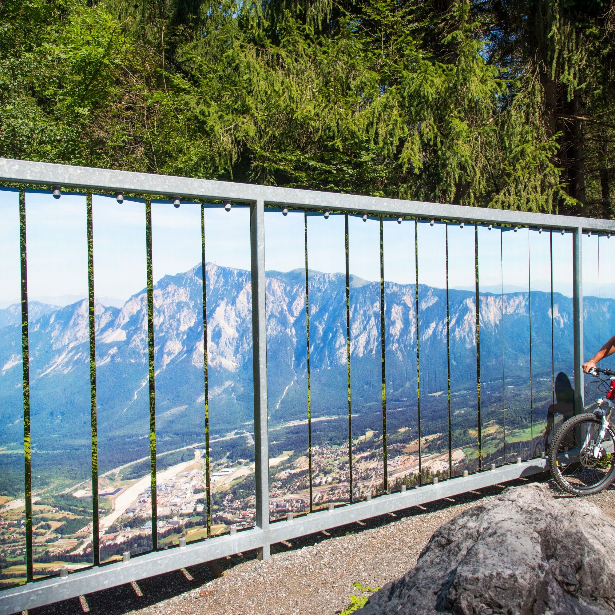
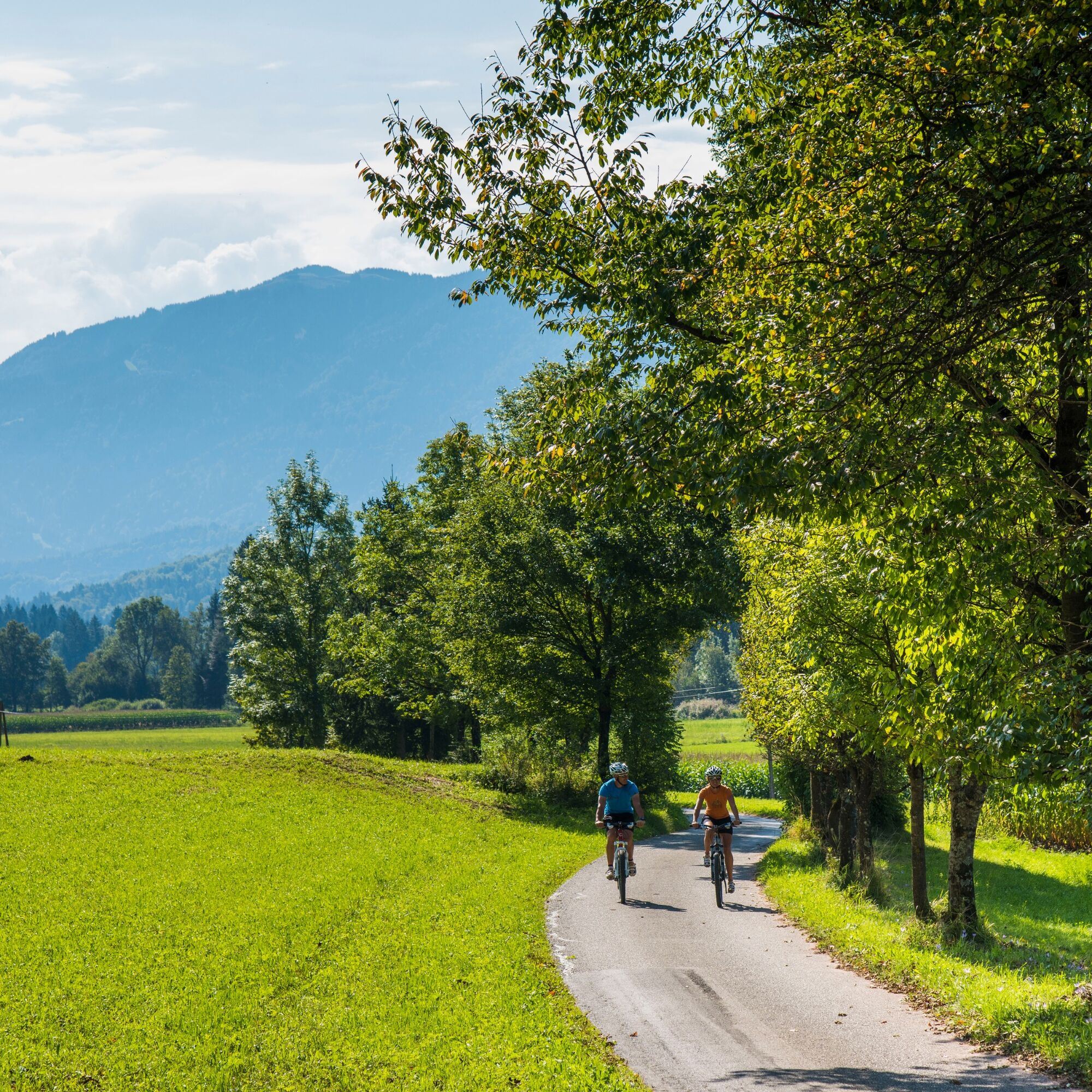
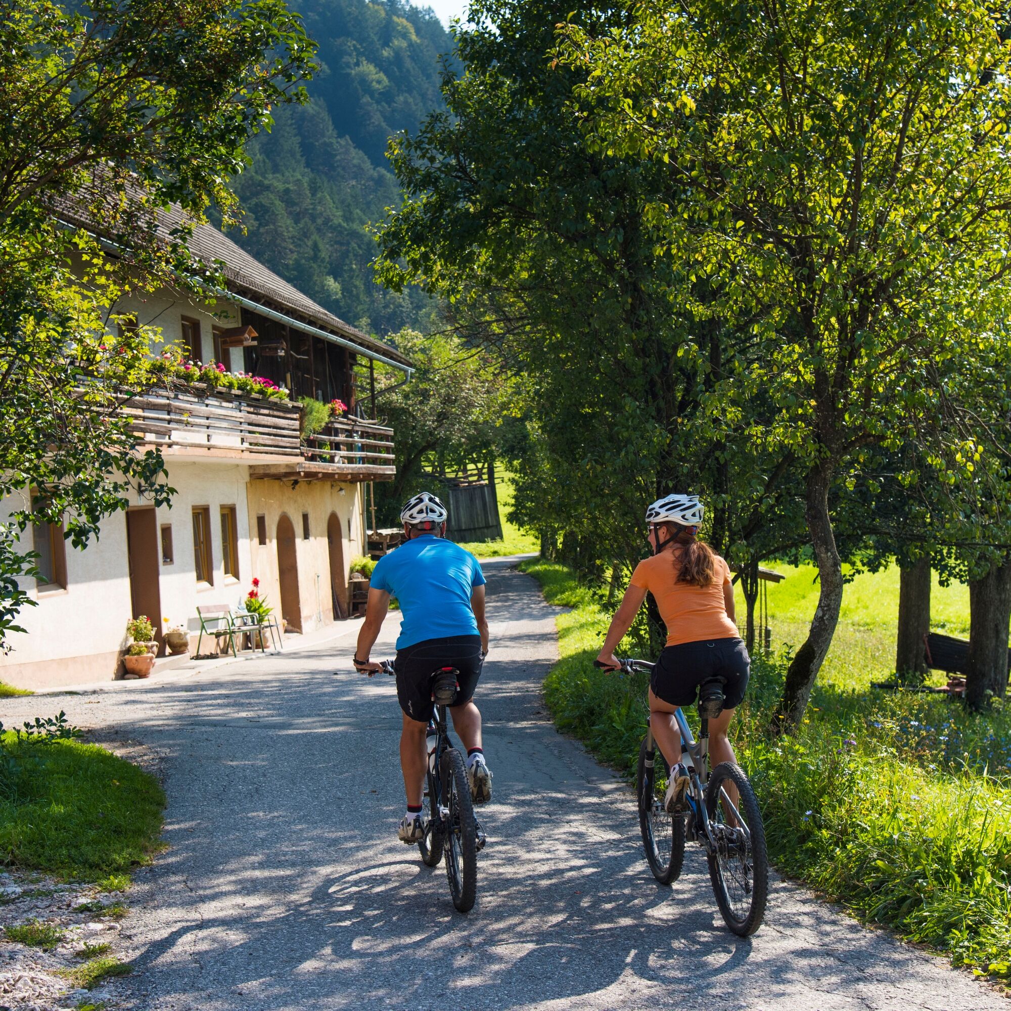
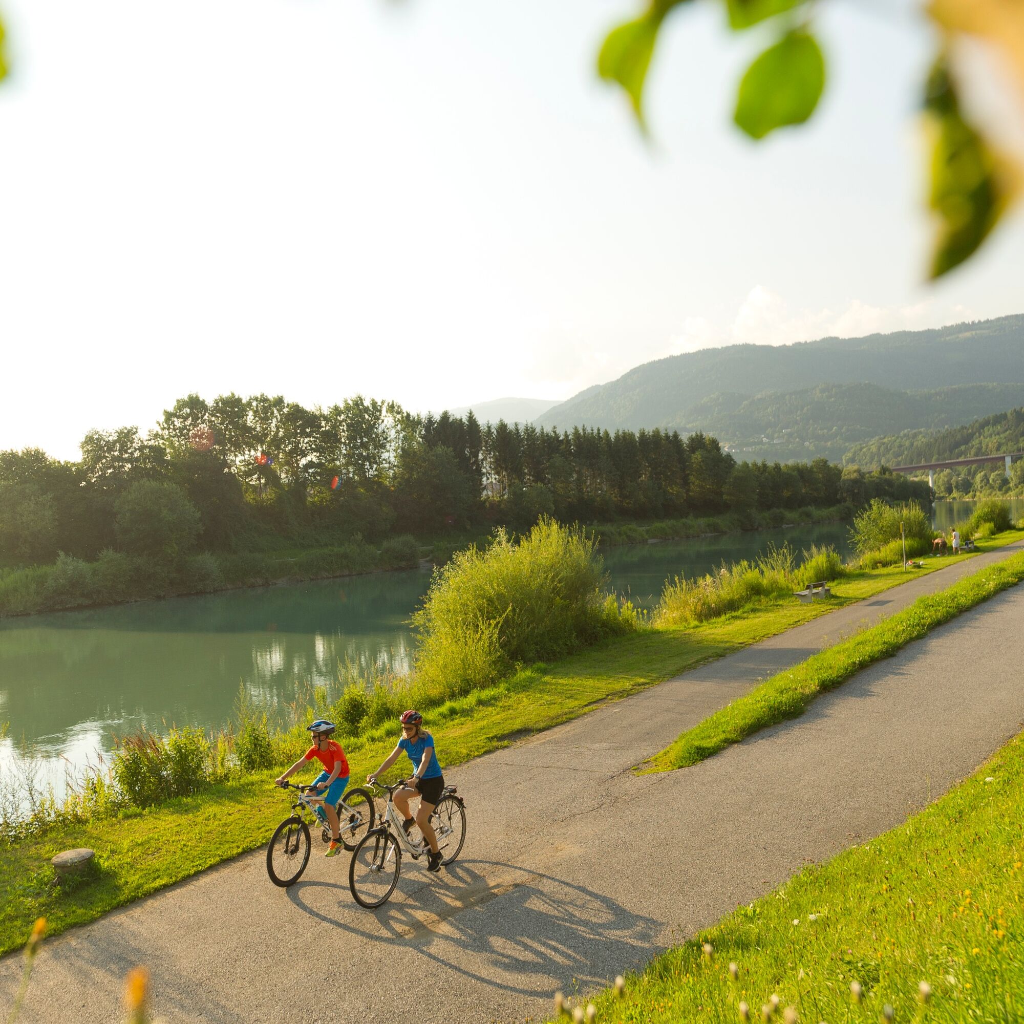

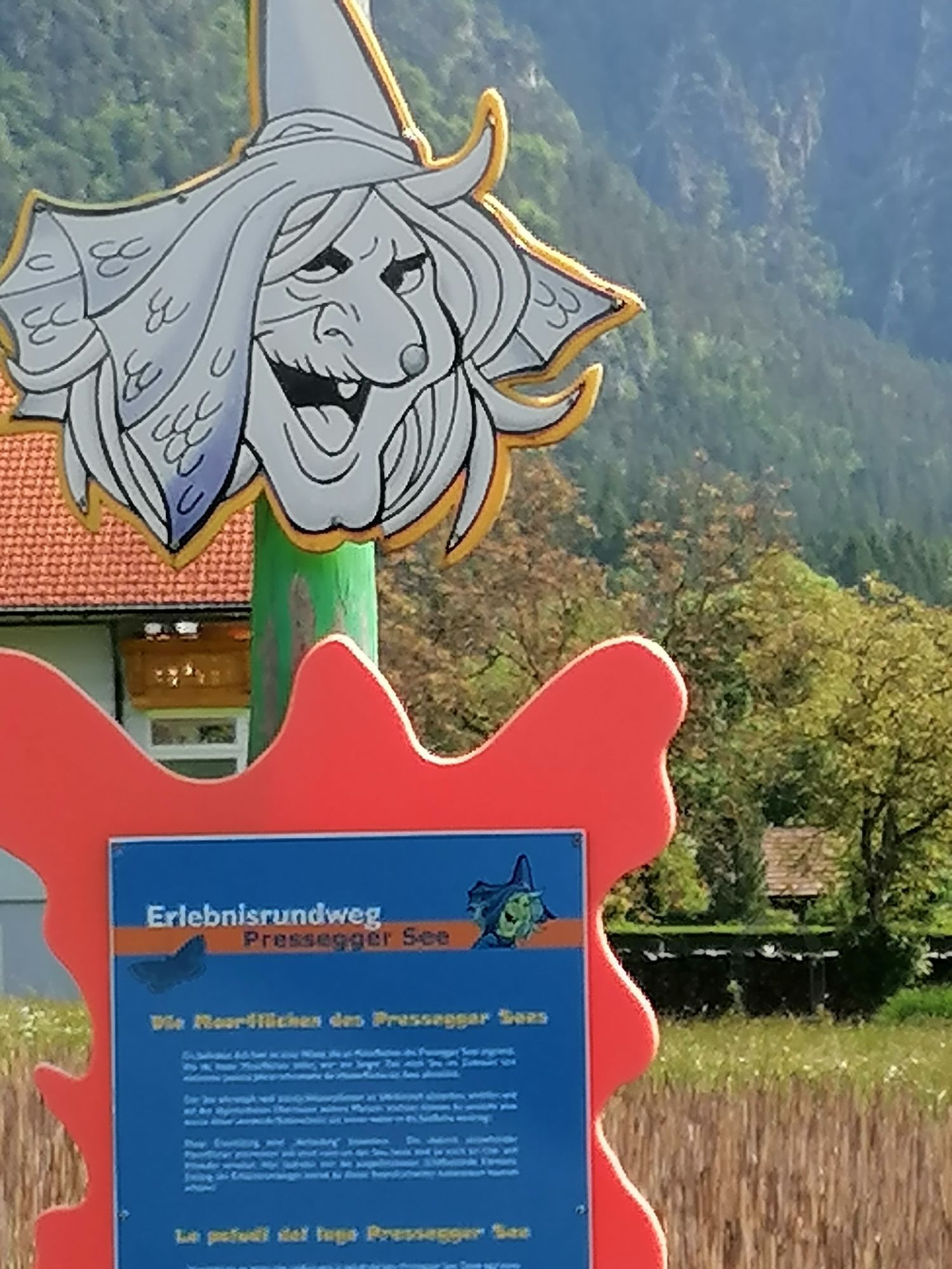
Hermagor - Lake Pressegger: The starting point of the route is Hermagor train station, from where you first cycle eastwards towards the town exit. Just before the gas station, turn right and cycle along village streets through Burger Moos, the village of Untervellach, and along the creek to Lake Pressegger. Along the northern shore, you pass the idyllic lake and then continue to follow the green signs of the Gailtal bike route R3. The railway track of the Gailtalbahn, which runs alongside the bike path here, also serves as an orientation.
Lake Pressegger - Vorderberg - Nötsch im Gailtal: About 1.5 km after leaving Presseggen, turn right onto Egger Landesstraße, pass the Görtschach-Förolach station, and immediately after the railway crossing, turn left onto the Gailtal bike path R3. After 1 km, cross the Gail River via a bridge and continue along the bike path for another 4 km to Vorderberg. After passing through the picturesque village, cross a bridge over the river again and follow the R3 further along the northern shore. You pass Emmersdorf station and continue beside federal road B111 to Nötsch im Gailtal. A visit to the renowned "Nötscher Kreis" museum and the famous Wiegele bakery is recommended here.
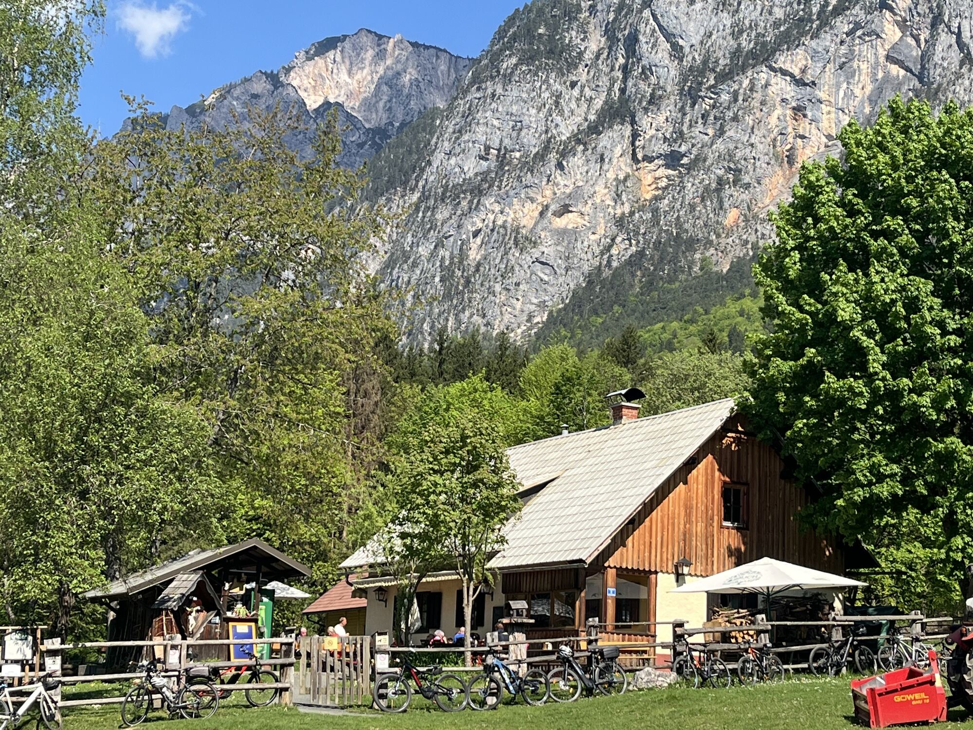
Nötsch im Gailtal - Schütt nature reserve: In front of the supermarket in the center of Nötsch im Gailtal, continue eastwards through the village of Saak with its picturesque village center and along the Carnic bike route R3, now on cobbled streets along the Gail and through the Schütt nature reserve at the foot of Dobratsch. About 8 km after Nötsch, you reach the Almwirtschaft Schütt at the Nepomuk bridge, where a short stop is recommended. After another 2 km, you come to the Gail power plant, which can be crossed via a bridge. Follow the bike path further east. Shortly before the village of Oberschütt, you cross the Gail again and follow the bike path for another 9 km through Erlendorf to Müllnern.
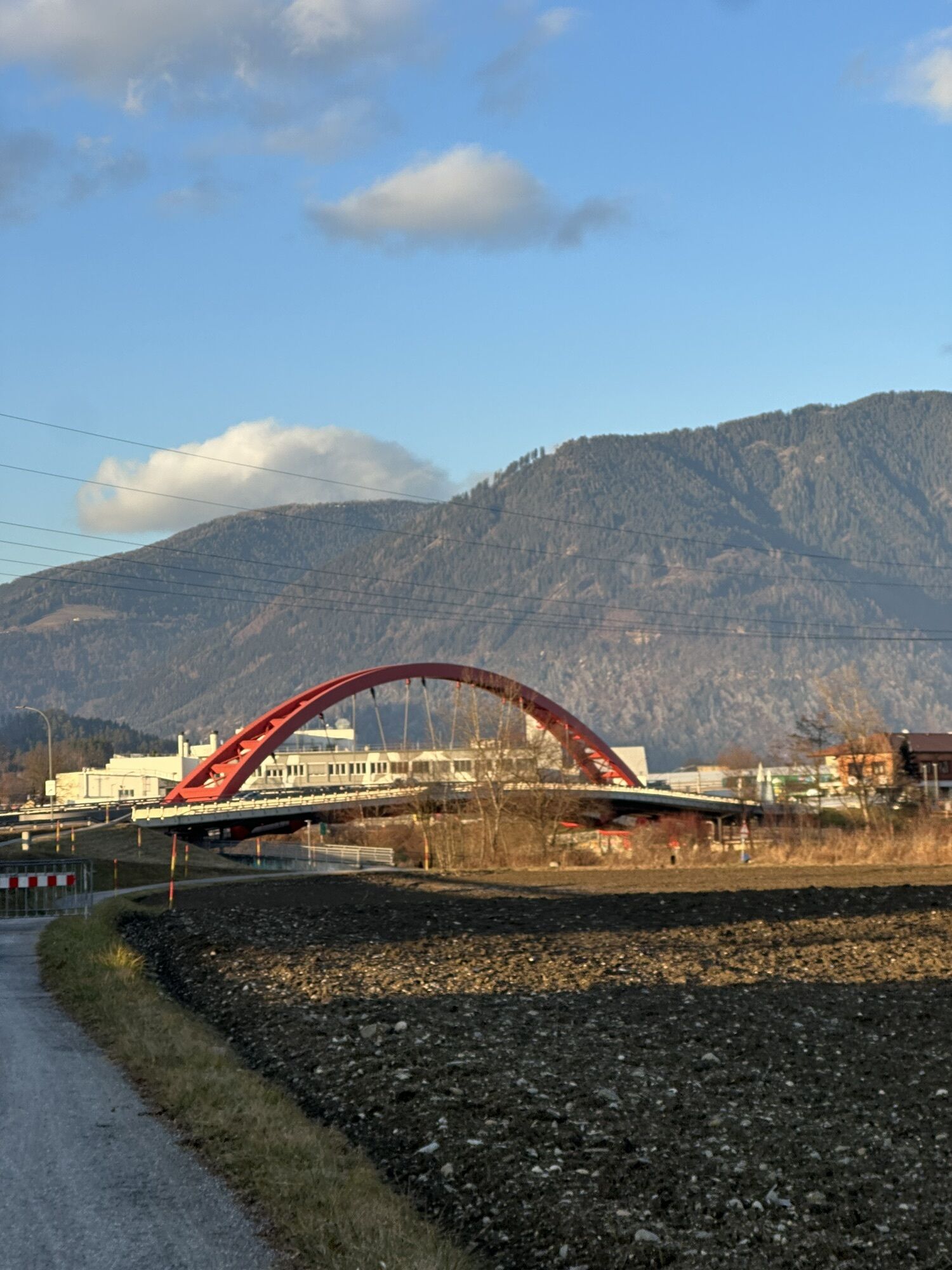
Müllnern - Villach - Landskron - Lake Ossiach: From here, continue along the Carnic bike route R3 towards Villach until just before the large red bridge. At the small junction of two bike paths, turn slightly left under two bridges and always follow the signs "Ossiacher See". For most of the time, you cycle along Seebach (upstream) until you reach the L49 Ossiach Lake south shore road. Here you follow bike path R2 northwards to the Ossiach Lake camping pool. Shortly after, turn left and cycle under a railway underpass until you reach the B94 Ossiach road.
TIP: A shorter variant of this bike tour is possible from Arnoldstein! Bike bus stop: Arnoldstein train station.
Tak
Functional clothing, bicycle helmet, rain and sun protection, drink and provisions, etc.
1
Tickets & Registration: erlebnisse.visitvillach.at

Kamery internetowe z trasy
Gerlitzen Gipfel
Gerlitzen Gipfel
Gerlitzen Gipfel
Gerlitzen Gipfel
Hermagor - Presseggersee
Faaker See
Faaker See
Faaker See
Faaker See
Faaker See
Faaker See
Annenheim/Ossiacher See
Landskron
Villach - Friedensbrücke
Dobratsch
Dobratsch
Hermagor - Presseggersee
Gerlitzen Gipfel
Bergstation Pöllingerbahn 1.660m (250hm/ca. 45min leicht wanderbar zum Gipfel)
Gerlitzen Mittelstation Kanzelhöhe
Gerlitzen Mittelstation Kanzelhöhe
Gerlitzen Mittelstation Kanzelhöhe
Gerlitzen Mittelstation Kanzelhöhe
Dobratsch
Dreiländereck
Villach
Strandbad Hermagor / Pressegger See
Antonischacht - Bad Bleiberg
Fledermaushaus
Kinderland Kanzelbahn (1.440m)
EuroParcs Hermagor · Nassfeld
Villacher Alpenstraße - Rosstratte
Loipe St. Georgen im Gailtal
Villacher Alpenstraße
Villacher Alpenstraße
Faaker See / Haus am See
Apartments De Luxe Schluga / Schluga Strand
Ossiacherberg
Uzyskaj wgląd Zawsze na żywo z ponad 9 500 kamer internetowych. bergfex Jako użytkownik Pro, możesz teraz zobaczyć odpowiednie kamery internetowe dla wielu wycieczek w aplikacji wycieczki od. Pozwala to na bezpośredni podgląd aktualnych warunków. 
Popularne wycieczki w okolicy
- 4,5
Auf den Dobratsch mit der ganzen Familie
Wędrówka 8,40 km - 4,7
Jeziora Fusine
światłoWędrówka 5,43 km - 4,9
Orrido dello Slizza, Tarvisio, Italië
światłoWędrówka 2,65 km - 4,6
Gailtaler Alpen: Wanderung auf der Dobratsch
średniWędrówka 8,50 km - 4,5
Monte Lussari
średniWycieczka narciarska 10,7 km - 4,5
Monte Lussari über den alten Pilgerweg
średniWędrówka 6,43 km - 4,6
Weißenfelser Seen: Fusine in Valromana - Ai Sette Nani - Seealm
średniWędrówka 10,3 km - 4,2
Zacchi Wanderung Rundweg
światłoWędrówka 8,85 km - 4,3
Grande Ponza
Via ferrata 9 km - 4,0
Dobratsch über den Jägersteig
Wędrówka 4,30 km
Wędrówki i tropienie


Nie przegap ofert i inspiracji na następne wakacje
Twój adres e-mail została dodana do listy mailingowej.





