


Pleasure gondolas from Gerlitzen summit to Lake Ossiach
Poziom trudności: 2
Zdjęcia naszych użytkowników
-
 © Thomas Michalek 1Utworzono dnia 06.04.2026
 -
 © Thomas Michalek 1Utworzono dnia 31.08.2025
 -
 © Thomas Michalek 1Utworzono dnia 31.08.2025
 -
 © Thomas Michalek 1Utworzono dnia 31.08.2025
 -
 © Thomas Michalek 1Utworzono dnia 31.08.2025
 -
 © Thomas Michalek 1Utworzono dnia 31.05.2025
 -

 © JoHuUtworzono dnia 04.05.2025
 -
 © Thomas Michalek 1Utworzono dnia 17.06.2023
 -
 © Thomas Michalek 1Utworzono dnia 17.06.2023
 -
 © Thomas Michalek 1Utworzono dnia 17.06.2023
 -
 © Thomas Michalek 1Utworzono dnia 17.06.2023
 -
 © Rupert DreißgerUtworzono dnia 05.04.2026
 -
 © Juergen DomsUtworzono dnia 31.03.2026
 -
 © Juergen DomsUtworzono dnia 31.03.2026
 -

 © Anze RepasUtworzono dnia 28.02.2026
 -

 © Karlo GadzaUtworzono dnia 22.02.2026
 -
 © hugobartUtworzono dnia 21.02.2026
 -
 © Lóránd Zsigmond KoroknaiUtworzono dnia 21.02.2026
 -
 © Teo PirohárUtworzono dnia 18.02.2026
 -
 © Ábel KelecsényiUtworzono dnia 26.01.2026
 -
 © Christi AnUtworzono dnia 17.09.2025
 -
 © roxana62Utworzono dnia 08.09.2025
 -
 © Helmut NeuholdUtworzono dnia 15.08.2025
 -
 © Kreva89Utworzono dnia 13.08.2025
 -
 © Katl23Utworzono dnia 12.08.2025
 -
 © Oli HeiseUtworzono dnia 26.06.2025
 -
 © Oli HeiseUtworzono dnia 26.06.2025
 -

 © Soltész JózsefUtworzono dnia 18.03.2025
 -
 © Alois-Gerhard MairitschUtworzono dnia 31.01.2025
 -
 © Alois-Gerhard MairitschUtworzono dnia 30.01.2025
 -
 © Melissa BrunnbauerUtworzono dnia 23.09.2024
 -

 © Gerhard PiglmannUtworzono dnia 07.09.2024
 -
 © Dagmar HoferUtworzono dnia 16.02.2023
 -
 © Dagmar HoferUtworzono dnia 16.02.2023
 -
 © Dagmar HoferUtworzono dnia 16.02.2023
 -
 © Dagmar HoferUtworzono dnia 16.02.2023


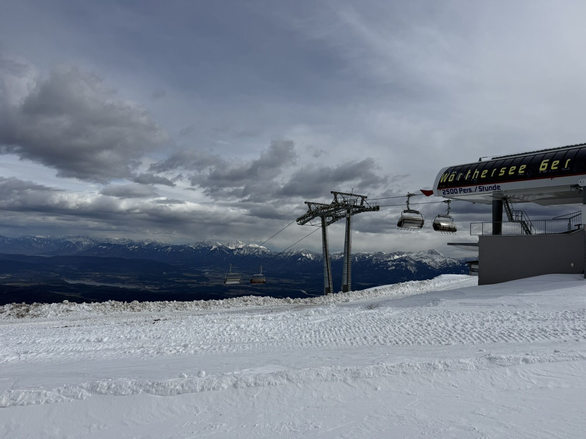
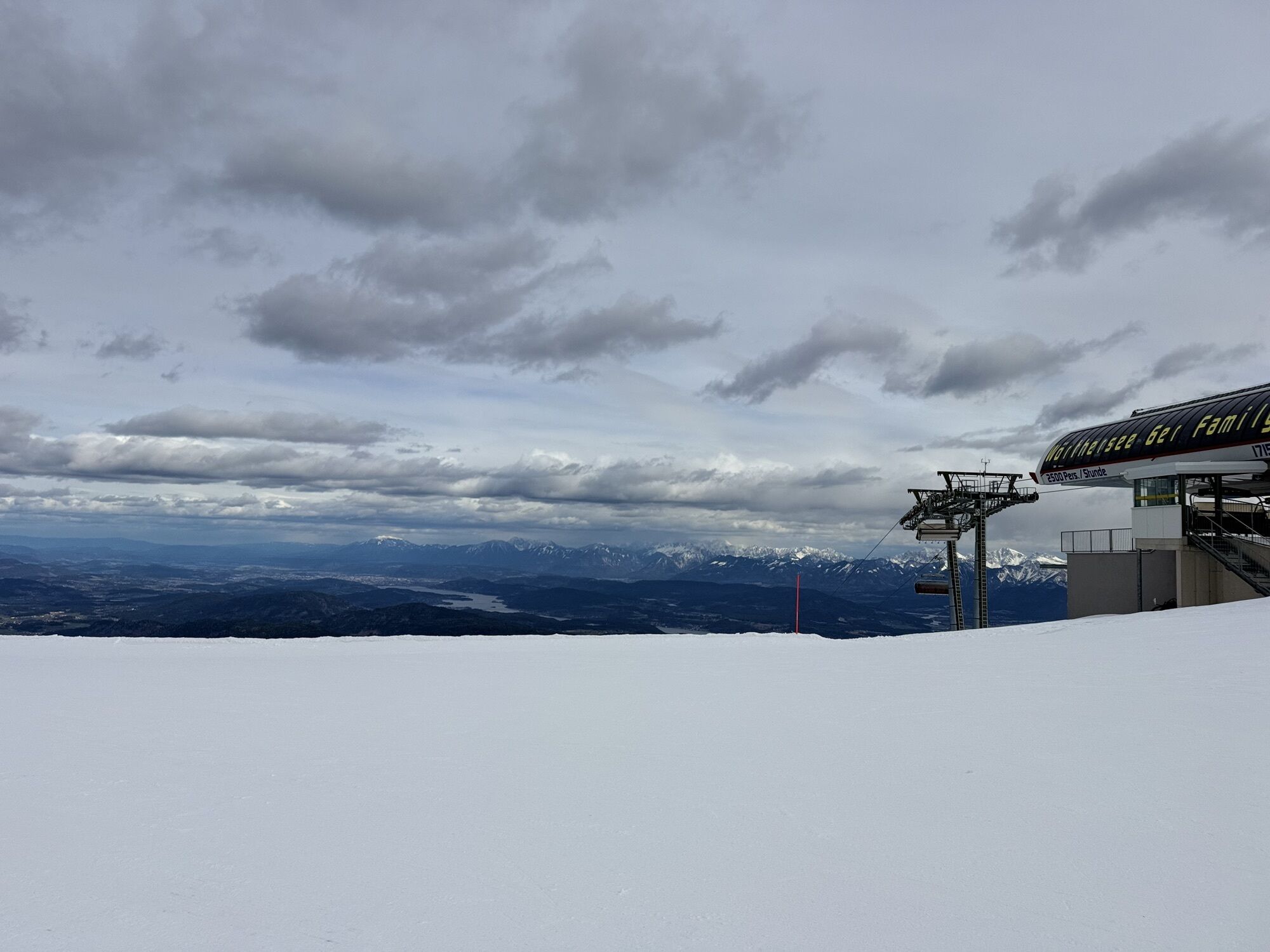
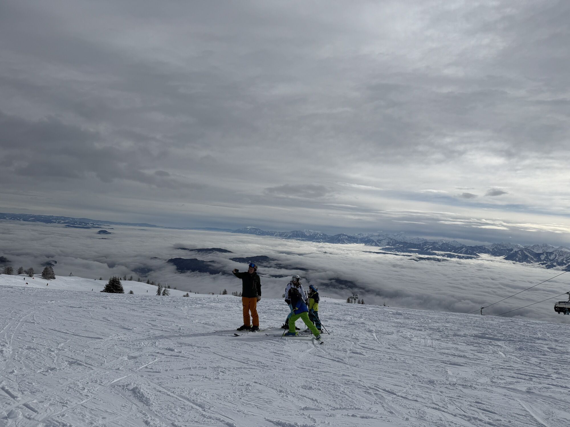


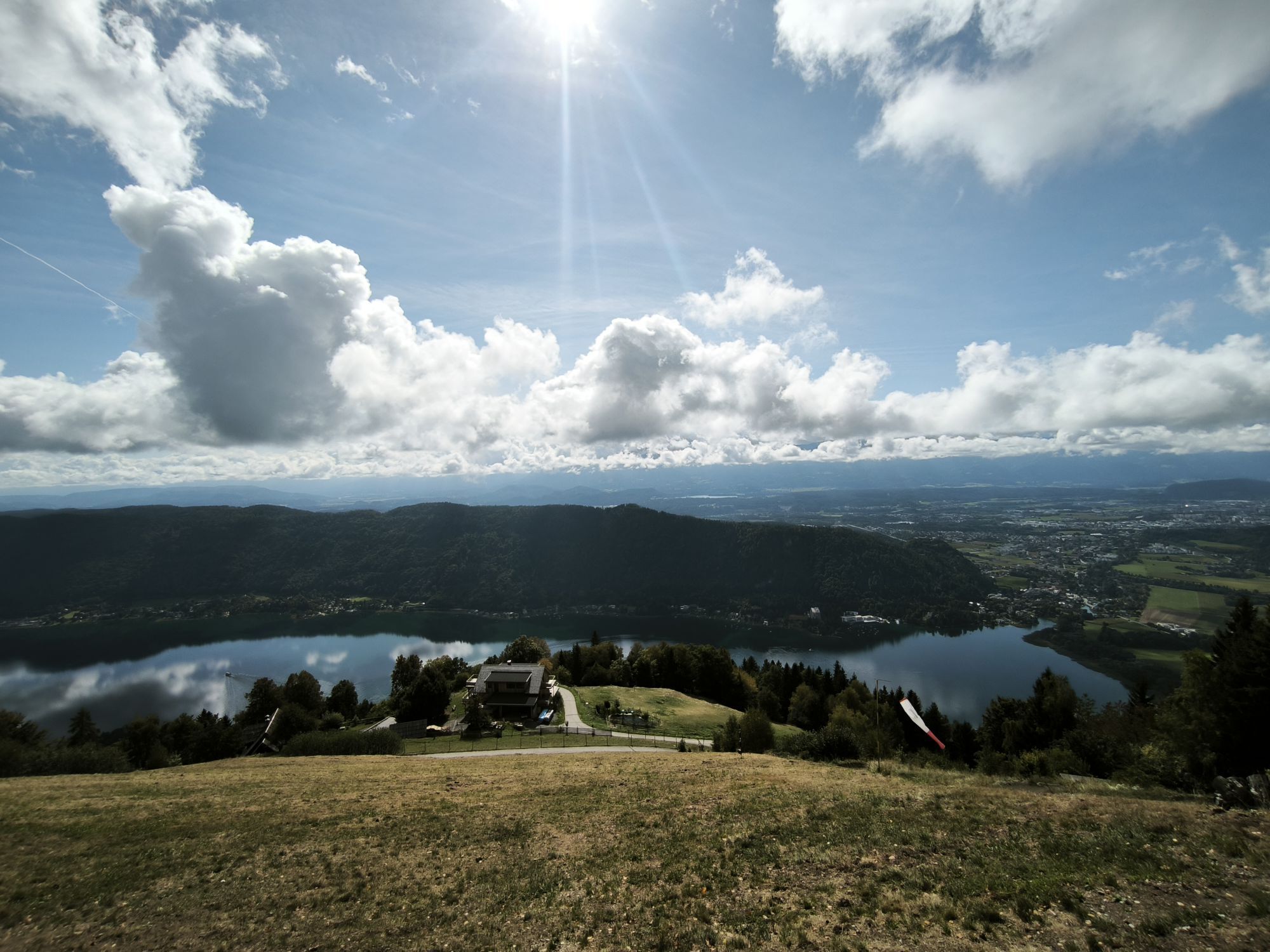


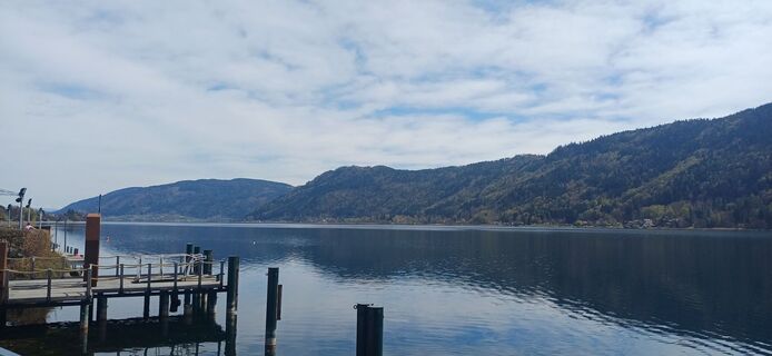
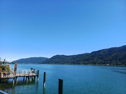
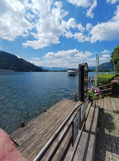
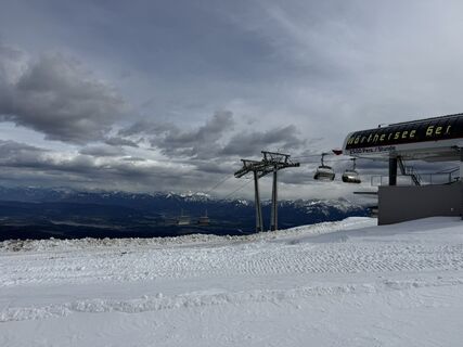
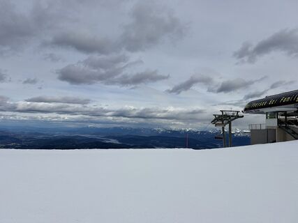
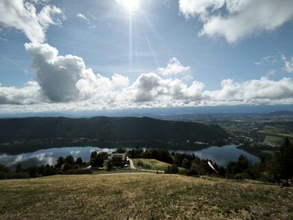
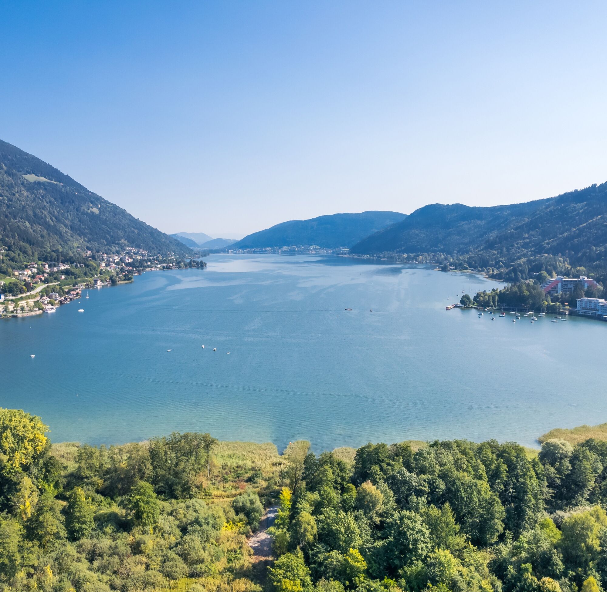
With the cable car to the summit of the Gerlitzen and enjoyably back to Lake Ossiach by bike.

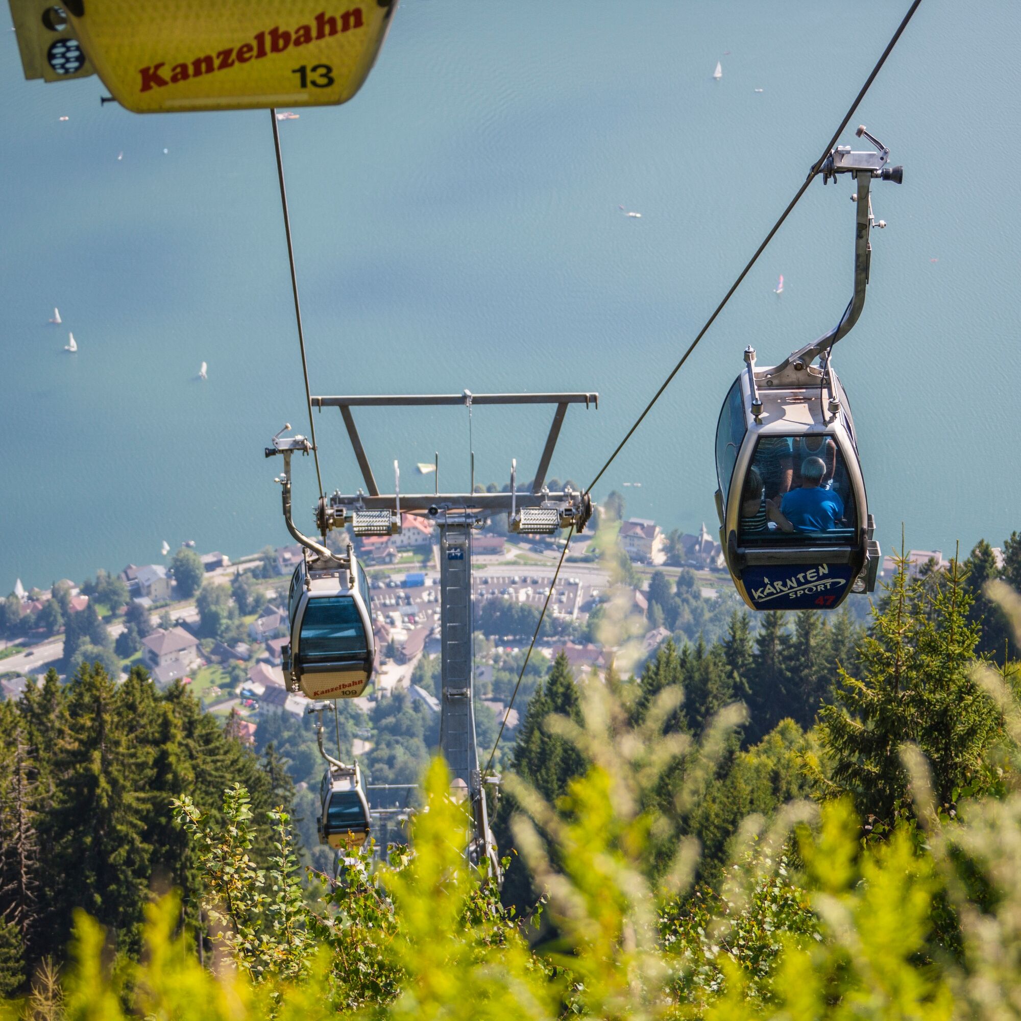
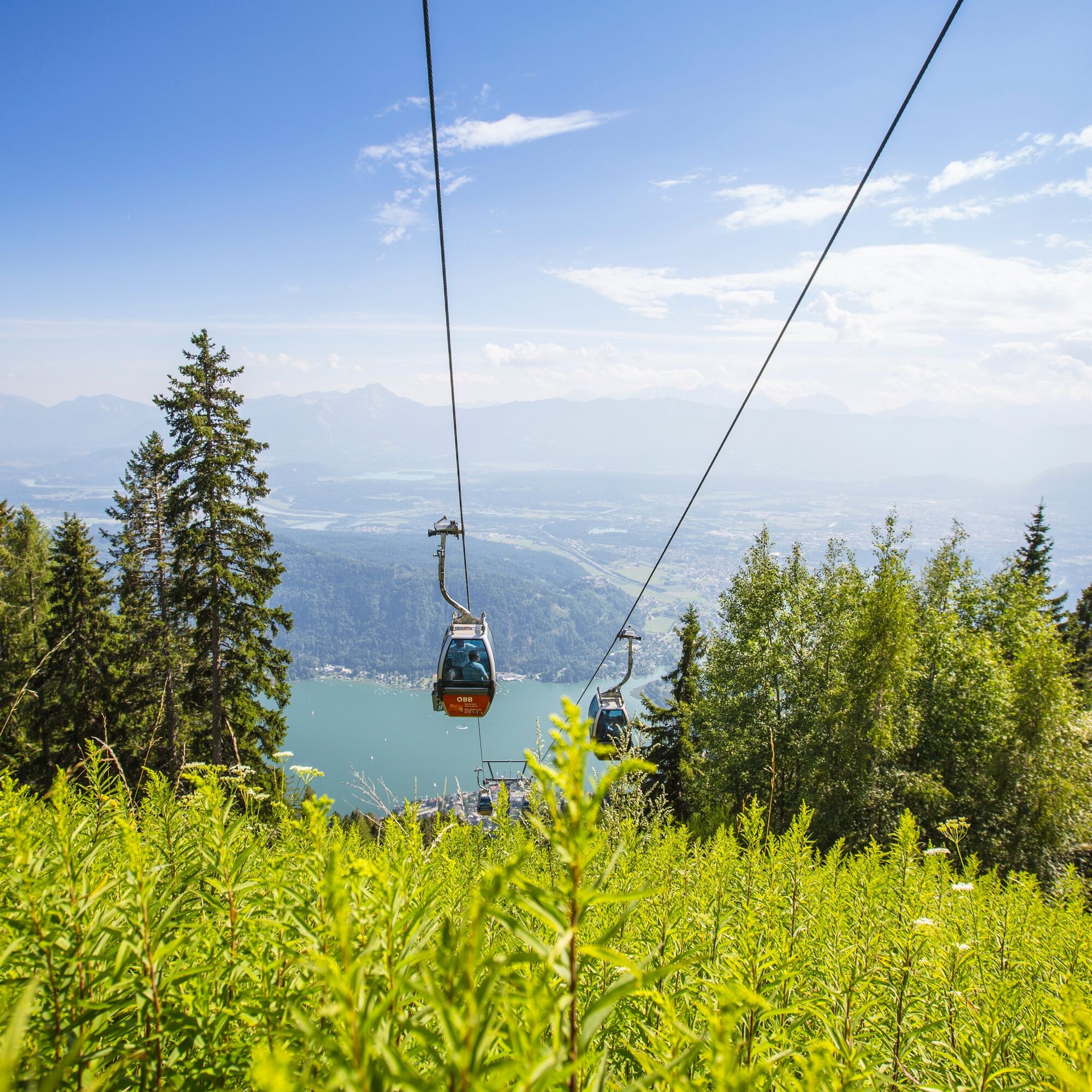
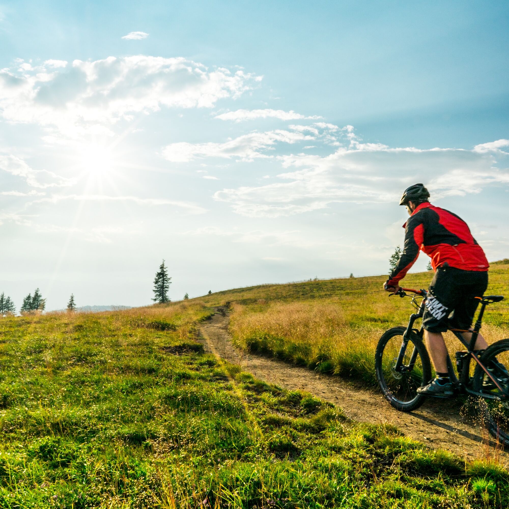
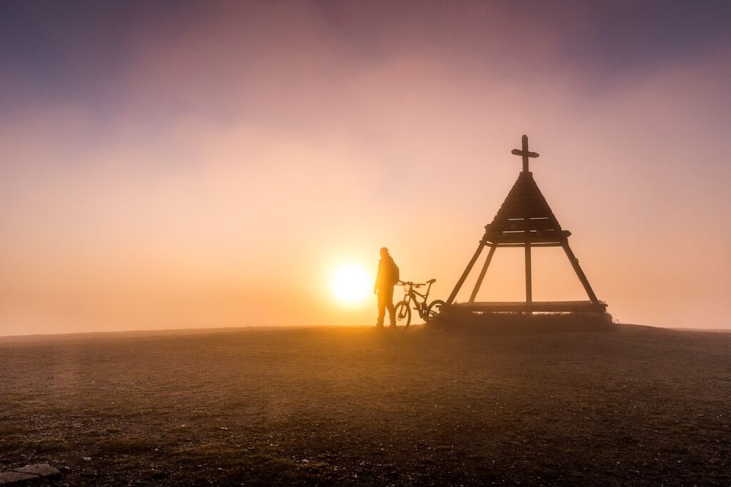
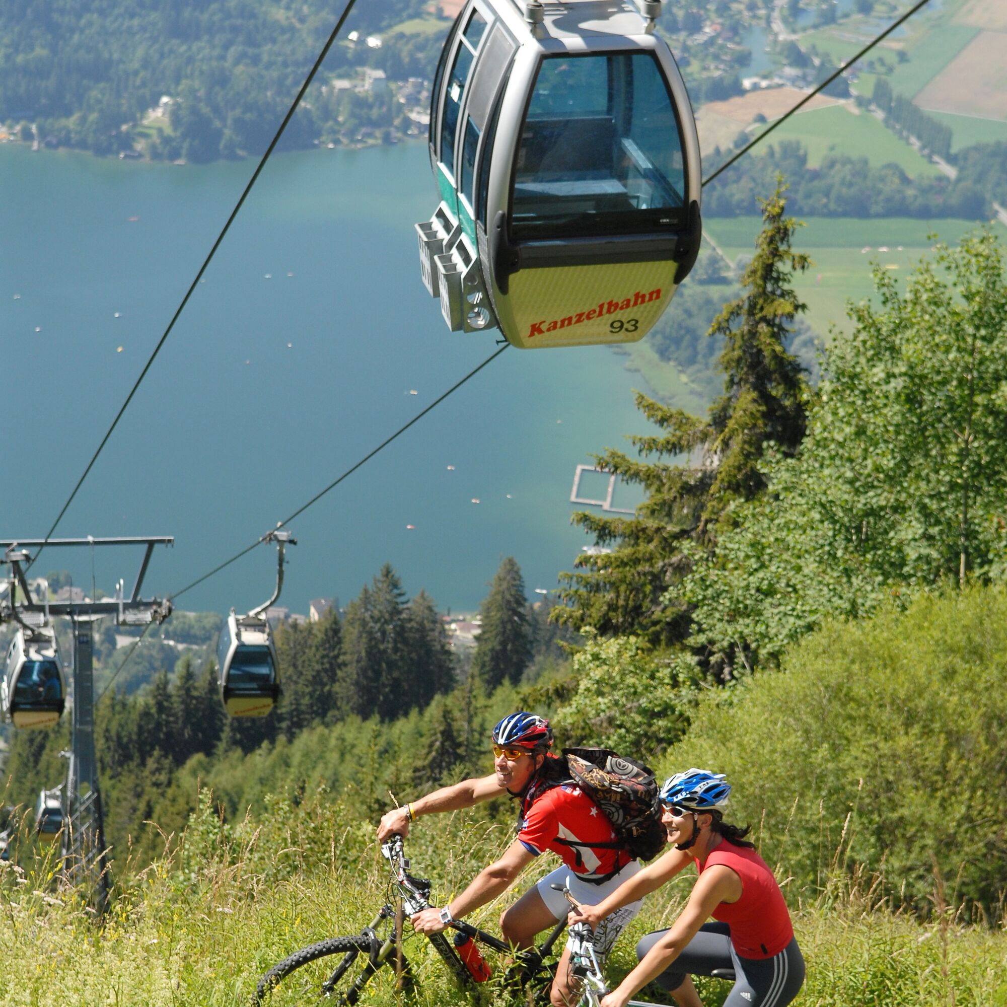
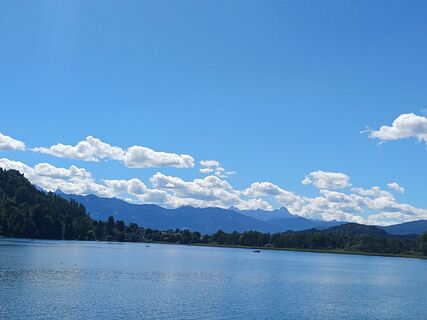
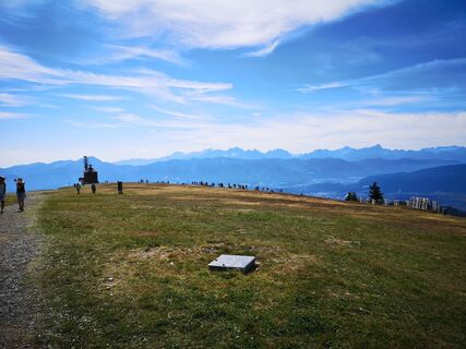
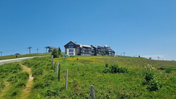
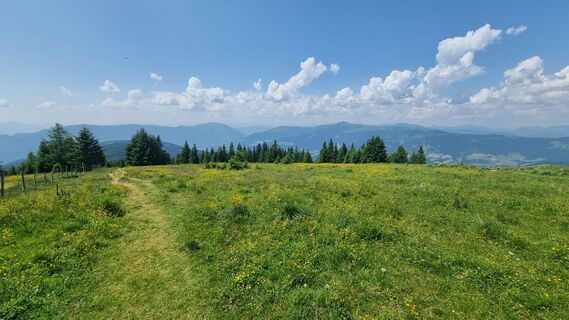
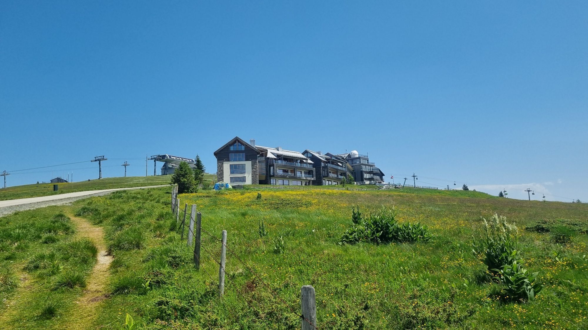
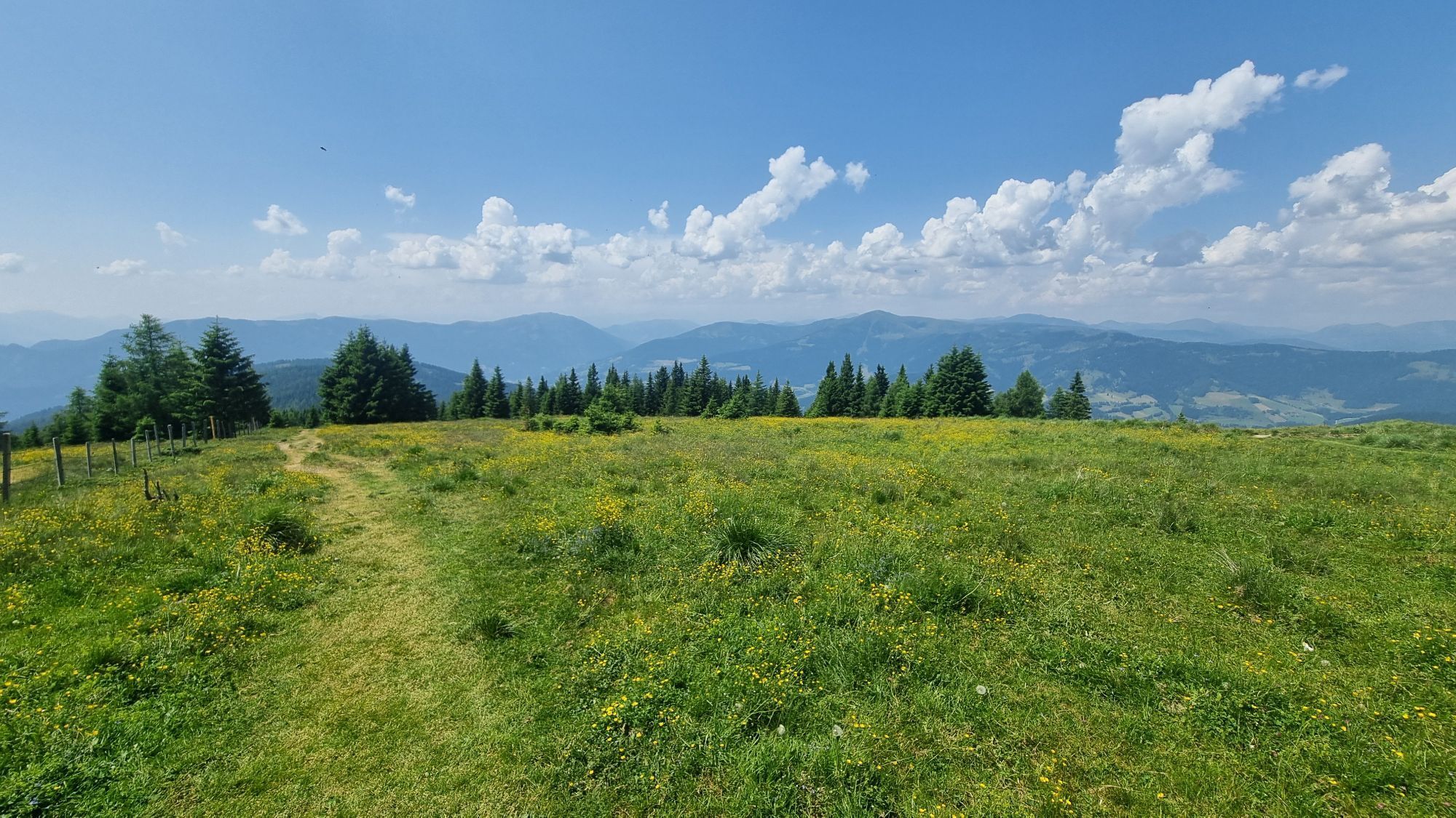
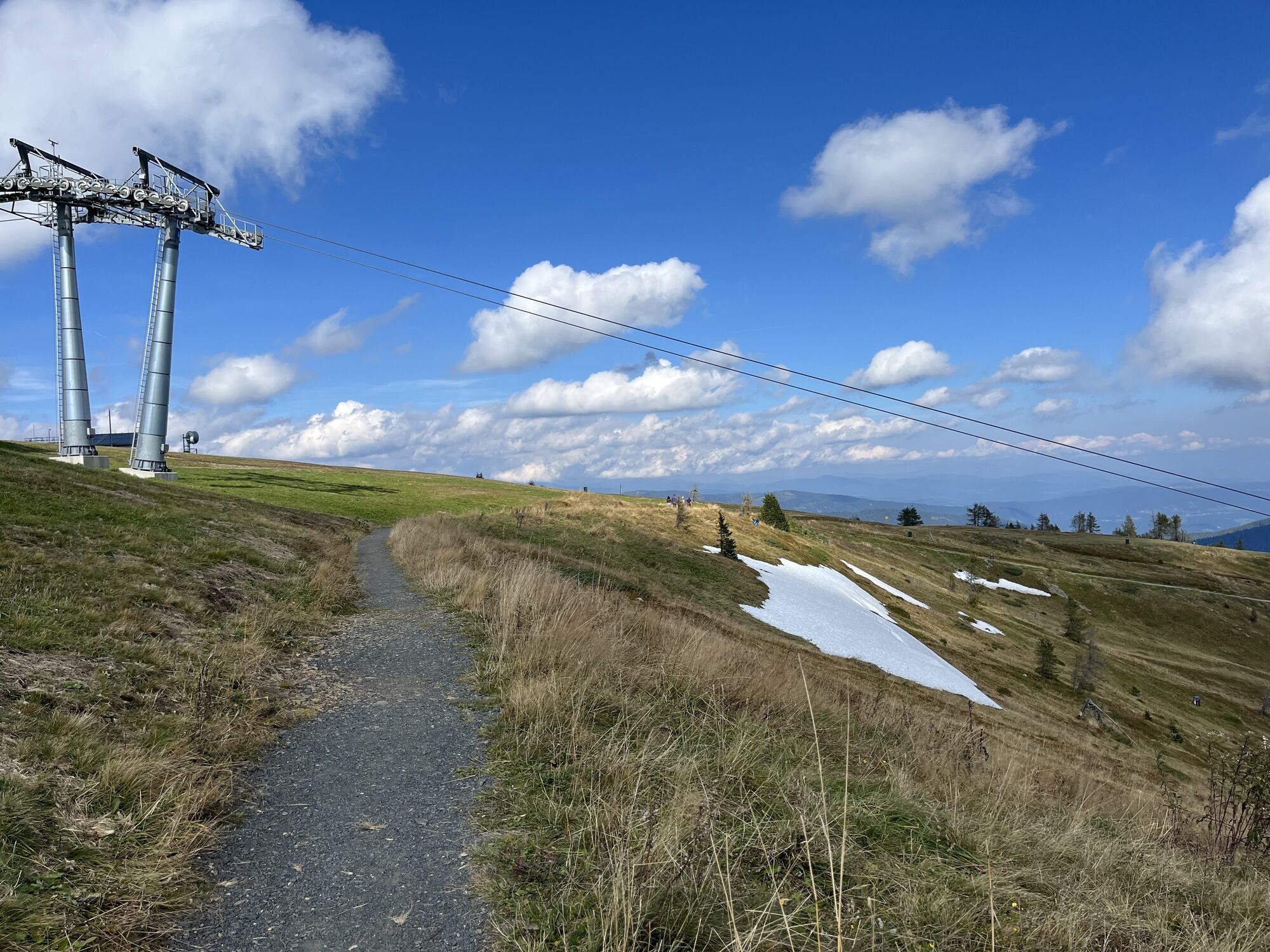
This scenic cycling route with cable car ascent (including bike transport) starts at the foot of the Gerlitzen in Annenheim. After purchasing the ticket for the two sections plus bike transport, you float relaxedly with the gondola and a chairlift of the Gerlitzen cable cars the approximately 1410 scenic meters in elevation to the summit of the Gerlitzen (1911 m) and experience a breathtaking panorama.
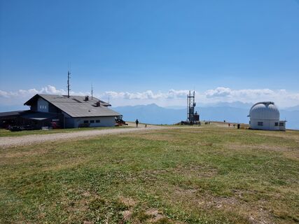
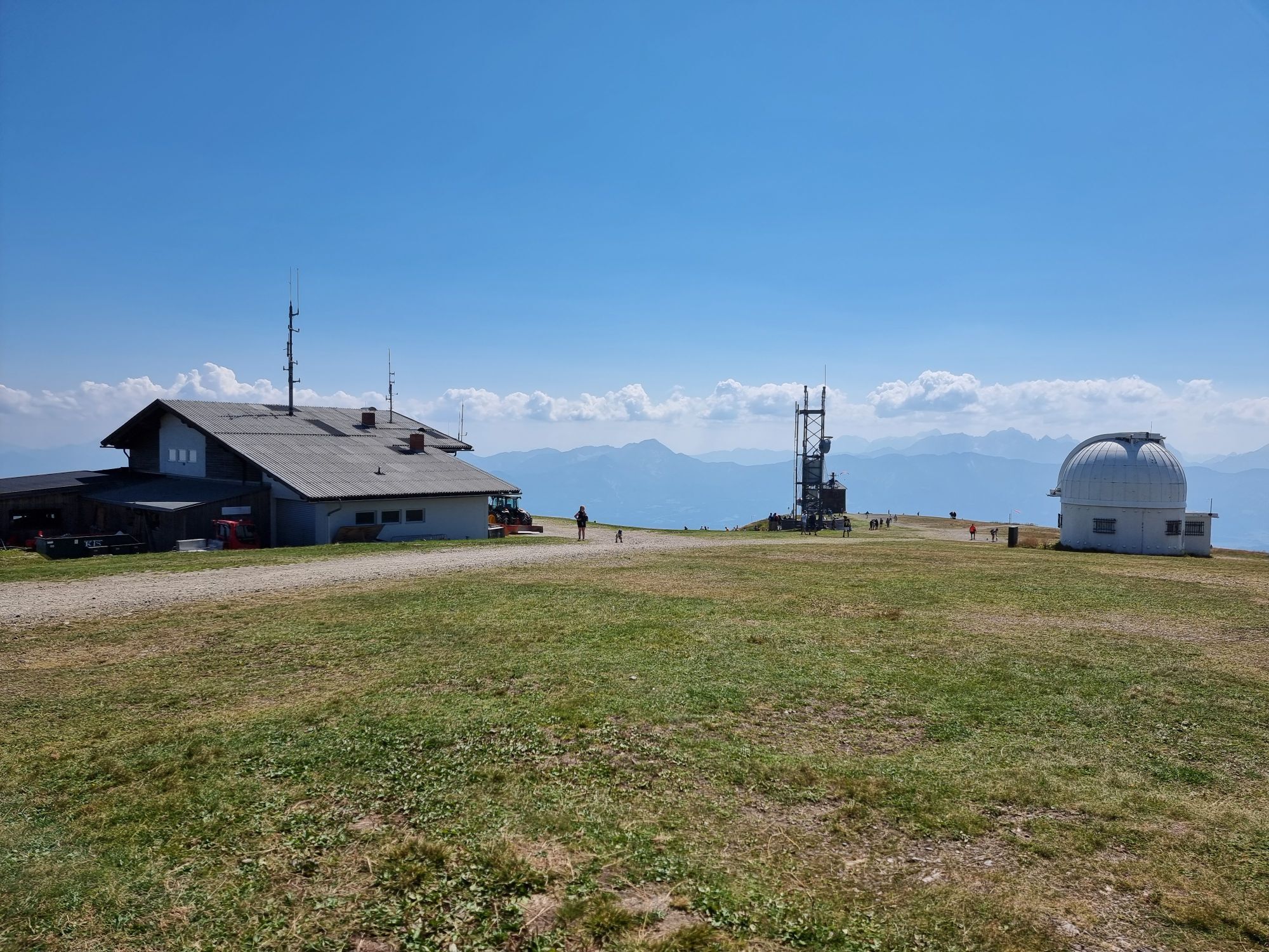
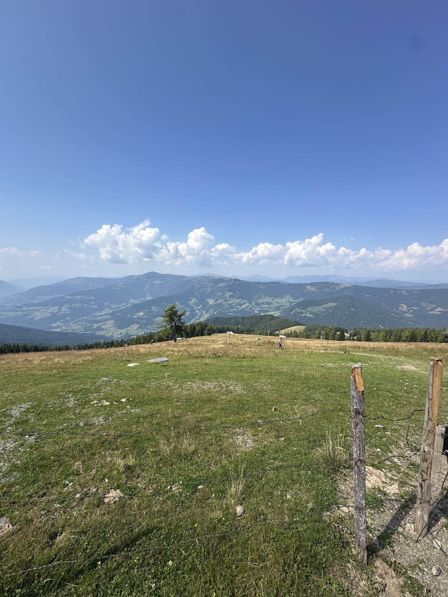
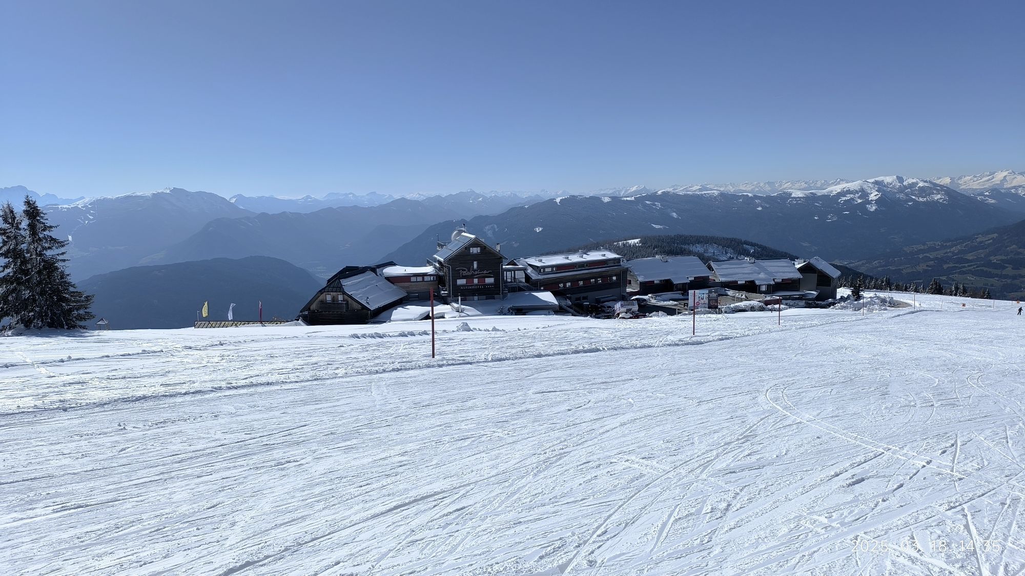
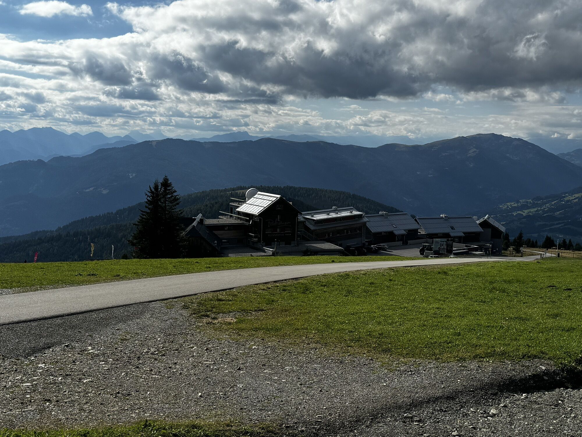
When exiting, keep immediately to the left and follow the gravel road to the mountain inn Pacheiner. Just behind the hotel, the descent begins via the Gerlitzen summit road over the Stifterboden to Arriach without significant junctions. So you always stay on the toll road and reach at its end the L46 Teuchern state road, which you follow downhill again to the Millstätter federal road (B98). Here you turn left towards Innere Einöde.
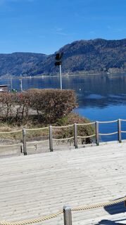
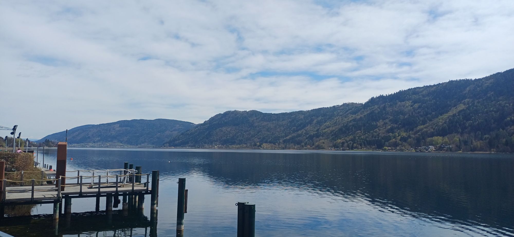
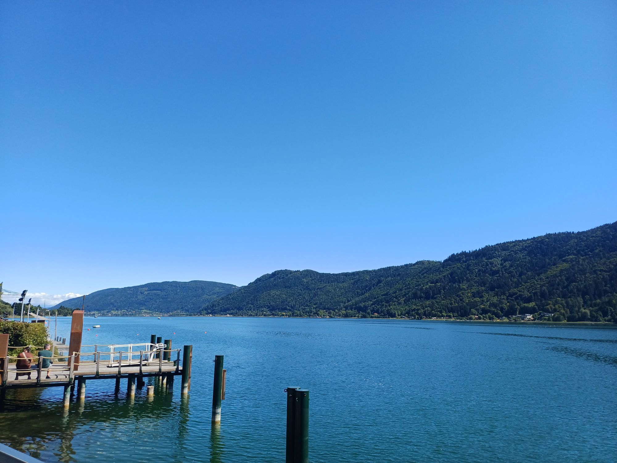
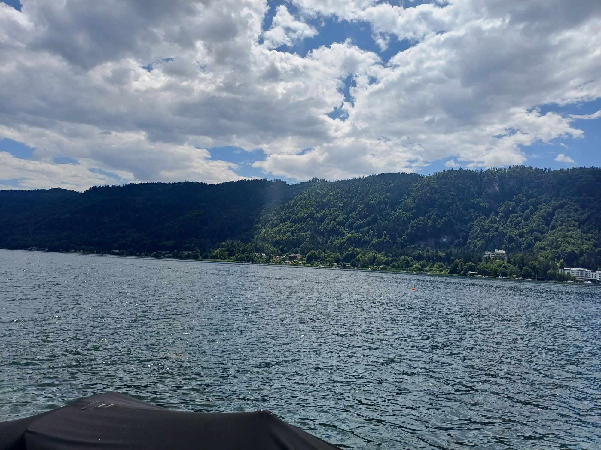
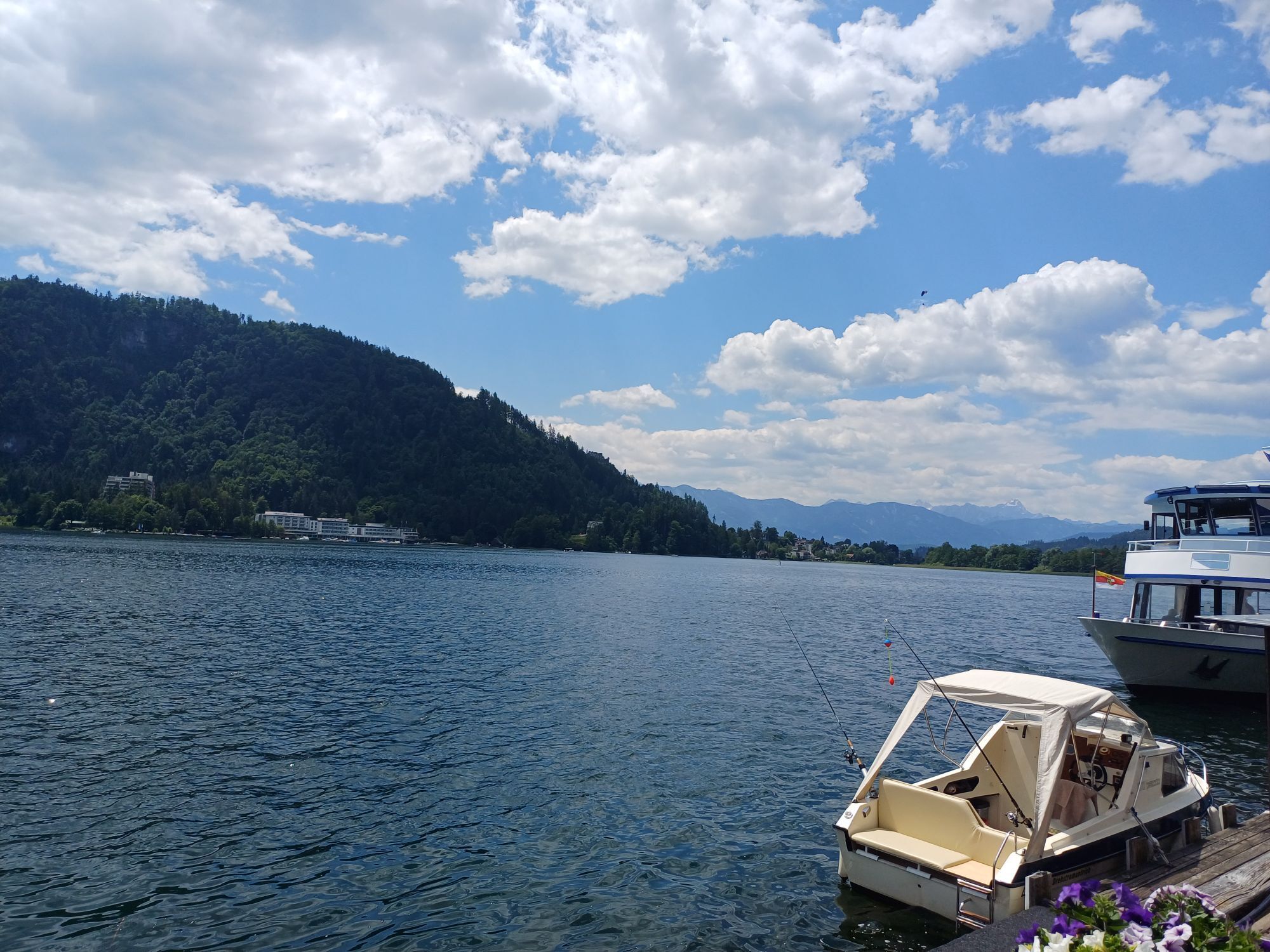
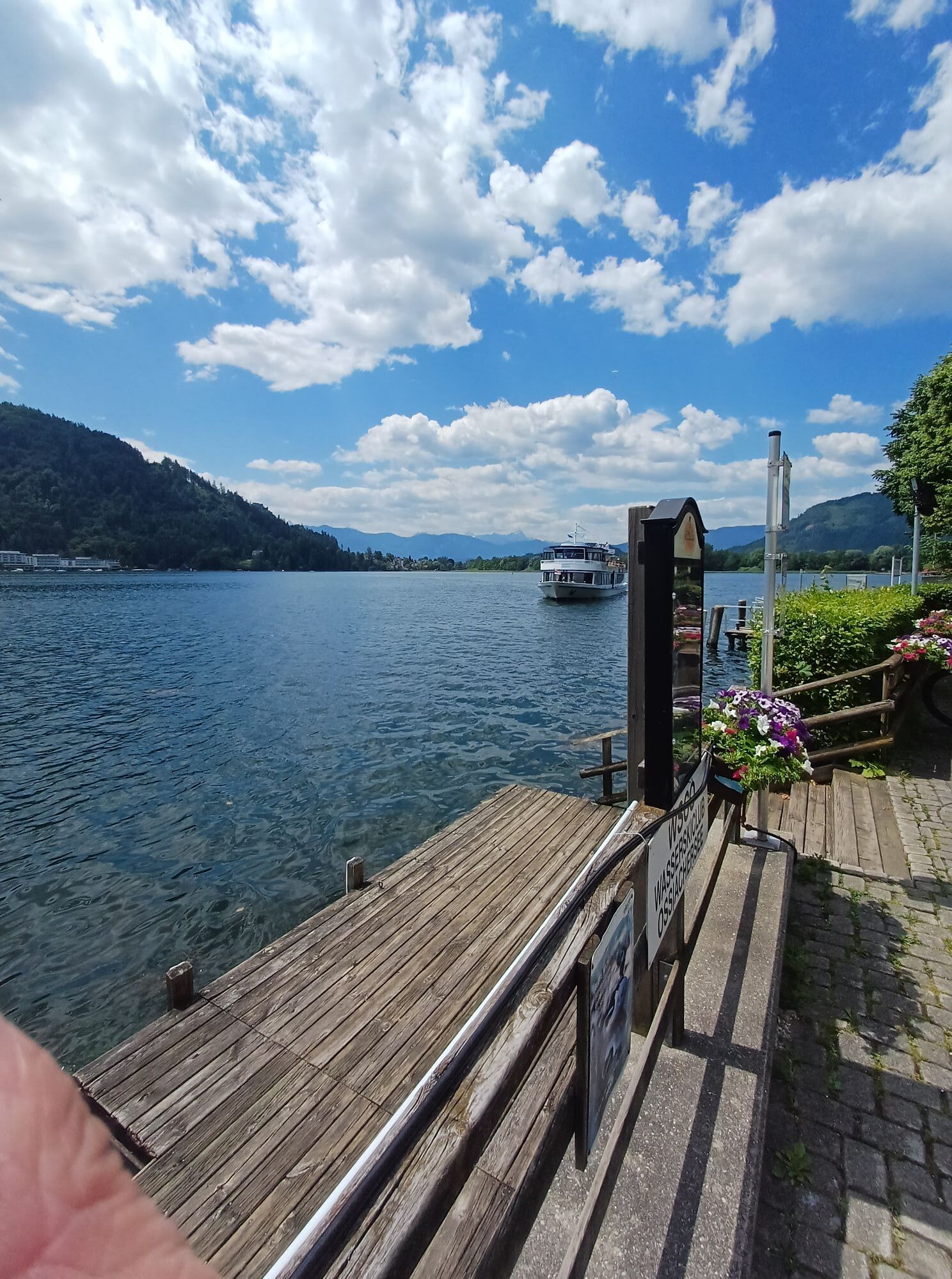
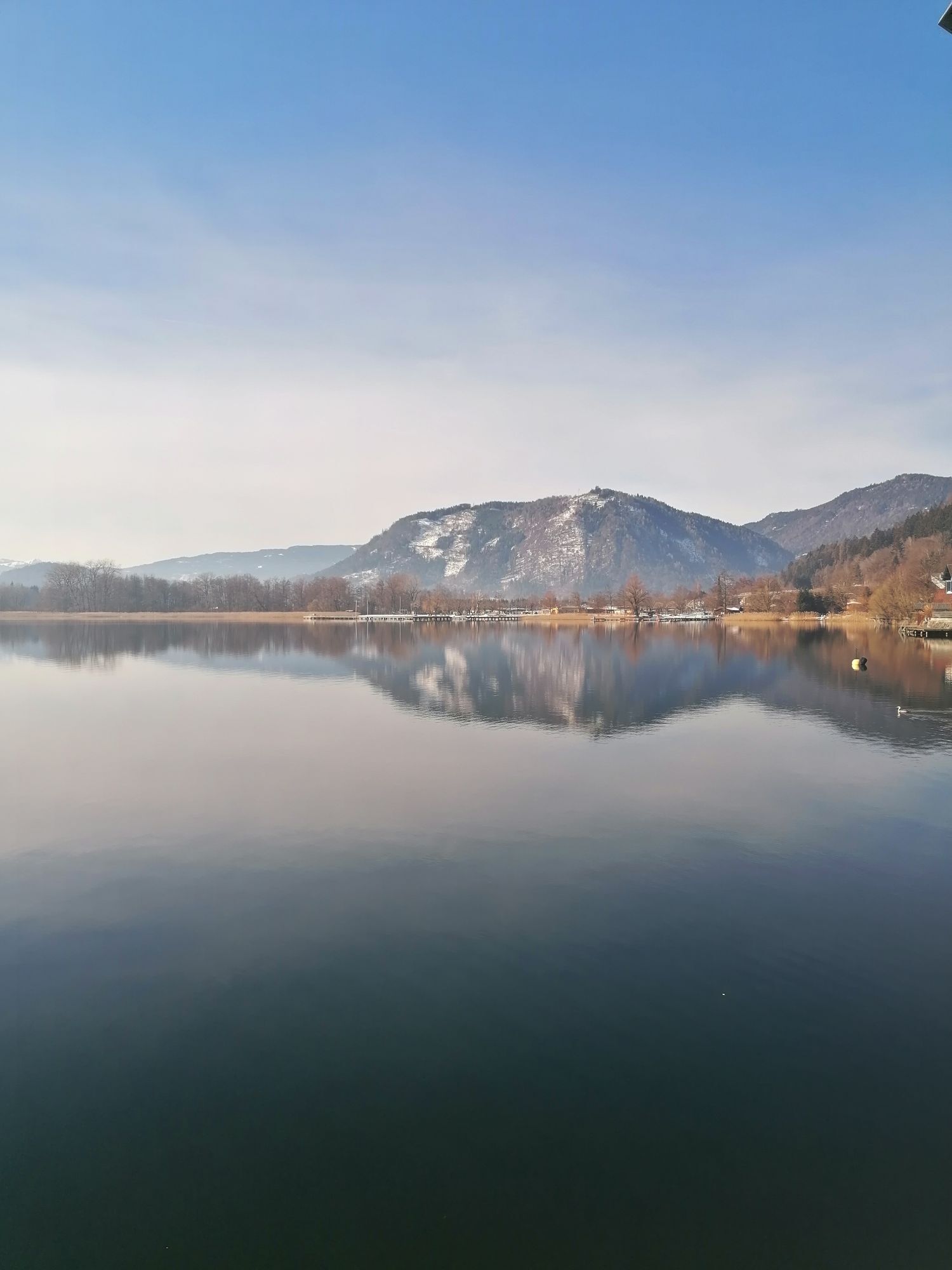
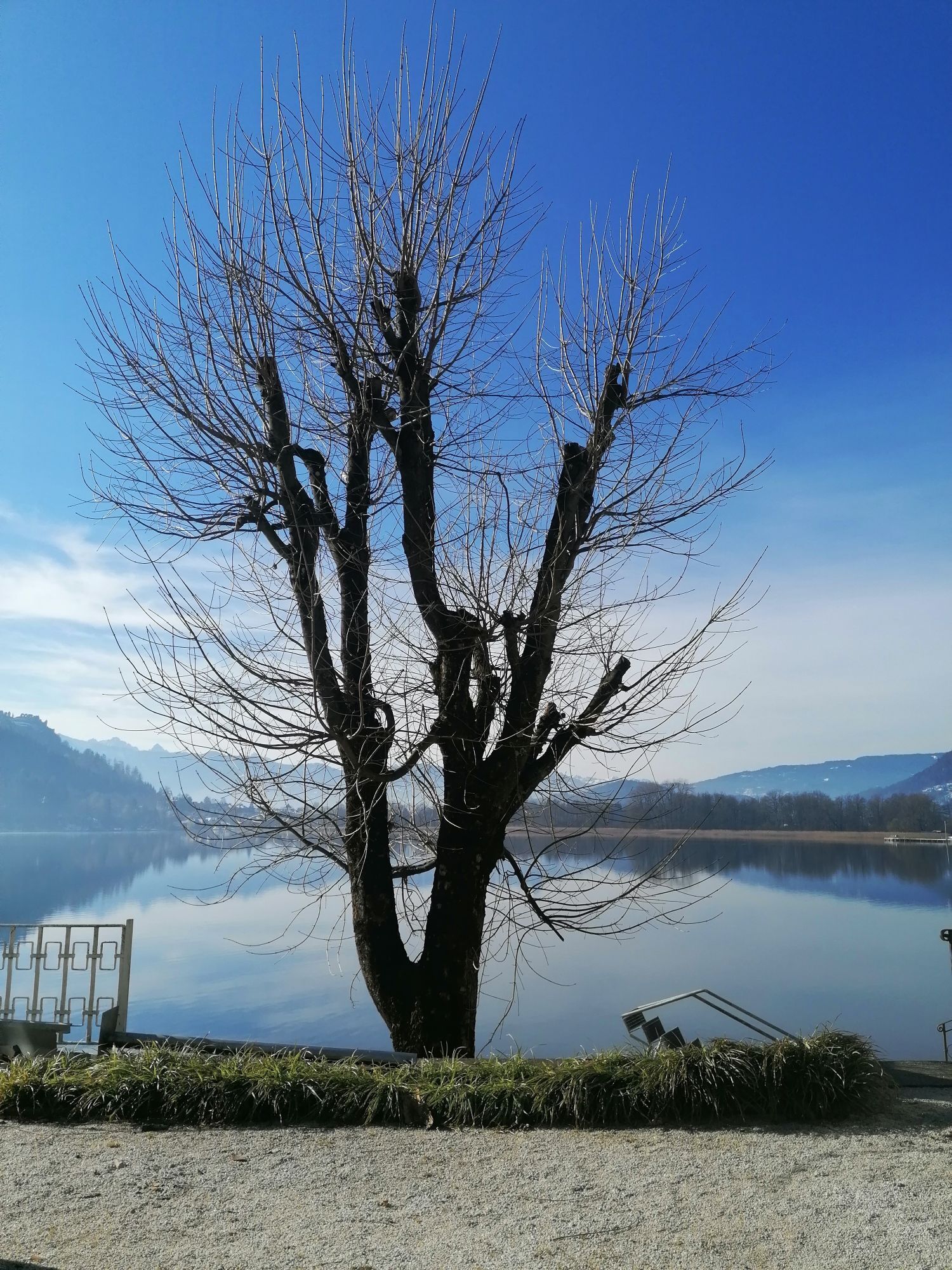
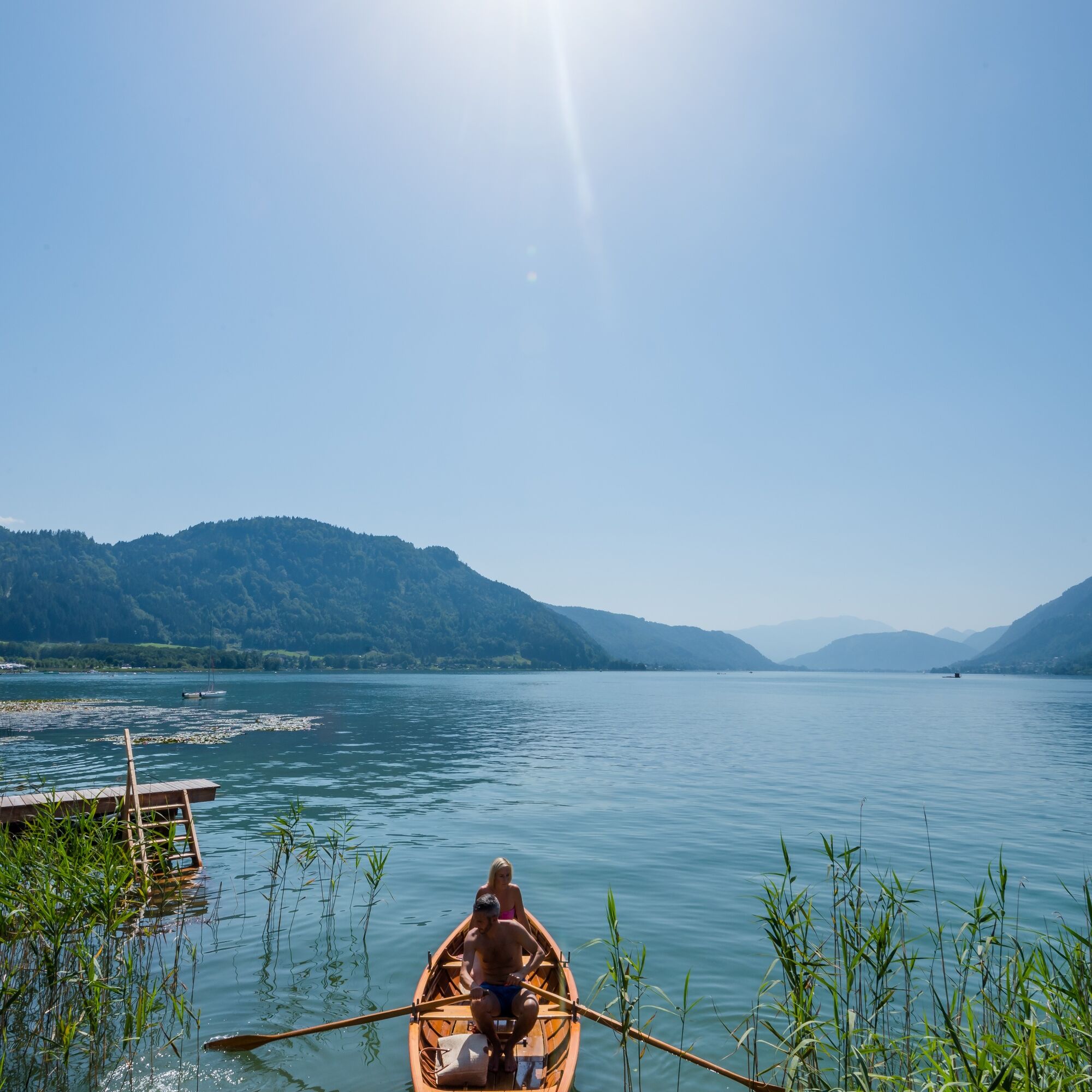
From here, you use the cycle path R2b back towards Lake Ossiach. The cycle path leads through Treffen, later through Neudorf, where you cross the Ossiach street at the Billa and head towards an underpass. Before the underpass, turn right and continue to follow the cycle path towards the outflow of Lake Ossiach. Shortly before the bridge, go along St. Andräer street again towards the north. St. Andräer street is crossed again at the campsite. After a few minutes, you reach the starting point of the route again on the shore of Lake Ossiach.
Tak
Terrain-suitable bicycle with checked brakes, bike helmet, casual clothing, wind jacket, sunglasses, drink, etc.
All mountain bikers are requested to use only the officially approved roads, in this case the Gerlitzen summit road to Arriach for the descent! According to path law, the mountain biker is not considered a recreational user because he rides paths and is therefore exempt from path freedom (this applies to hiking trails but also forest roads).
Controlled speed during the descent and consideration for other traffic participants. The road traffic regulations and the rules of mountain bike fair play also apply here!
You can reach Annenheim by car via the A10 exit Treffen-Ossiacher See or coming from Villach via the B83 (Ossiacher Zeile) and at the Ossiacher See junction via the B94 towards Ossiacher See Annenheim.
Annenheim can be reached regularly by bus starting from Villach main station.
At the valley station of the Gerlitzen cable cars, there are sufficient free parking spaces available.
2
These two routes are also available nearby!
Arriach - Carinthian center points
Hiking trail Arriach-restaurant
Popularne wycieczki w okolicy
-
4,4
Finsterbach Waterfalls - Circular route
średniWędrówka 3,87 km -
3,9
Faakersee Rundweg
światłoWędrówka 9,55 km -
3,3
Around Lake Ossiach
średniJazda na rowerze 68,7 km -
3,8
Lake Ossiach cycle path - R2 and R2A
średniJazda na rowerze 28,2 km -
4,2
Slow Trail Bleistätter Moor (Variant A)
światłoWędrówka 7,22 km -
4,3
Lake circular trail
światłoNordic Walking 9,85 km -
4,4
Panorama trail Schwarzsee - Palnock
średniWędrówka 11,9 km -
4,9
4 Huts Route
średniWędrówka 8,96 km -
4,9
Skitour: FIS K70, Auf Franz Klammers Spuren
średniWycieczka narciarska 11,3 km -
4,4
E-Bike Route "Wörthersee - Ossiacher See"
średniJazda na rowerze 46,7 km
Wędrówki i tropienie


Nie przegap ofert i inspiracji na następne wakacje
Twój adres e-mail została dodana do listy mailingowej.