


Rail, Rent & Bike Villach➔Klagenfurt - Faaker See & Drau cycle path
Poziom trudności: 3


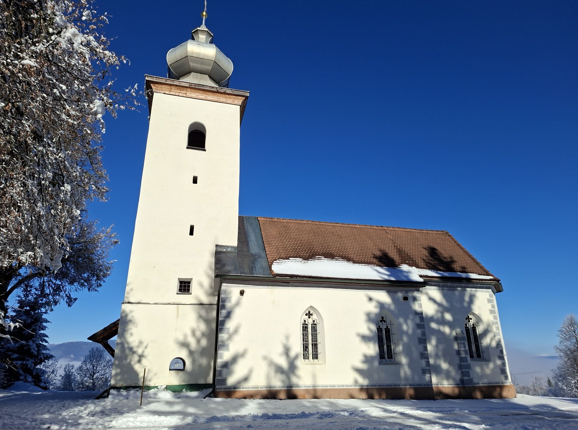
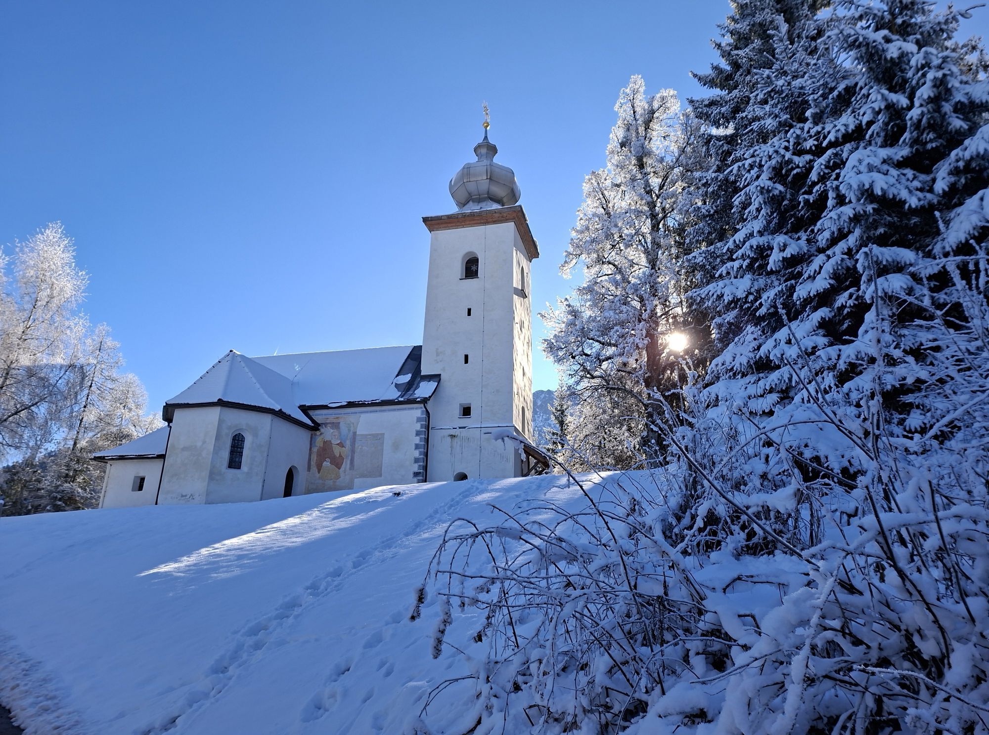
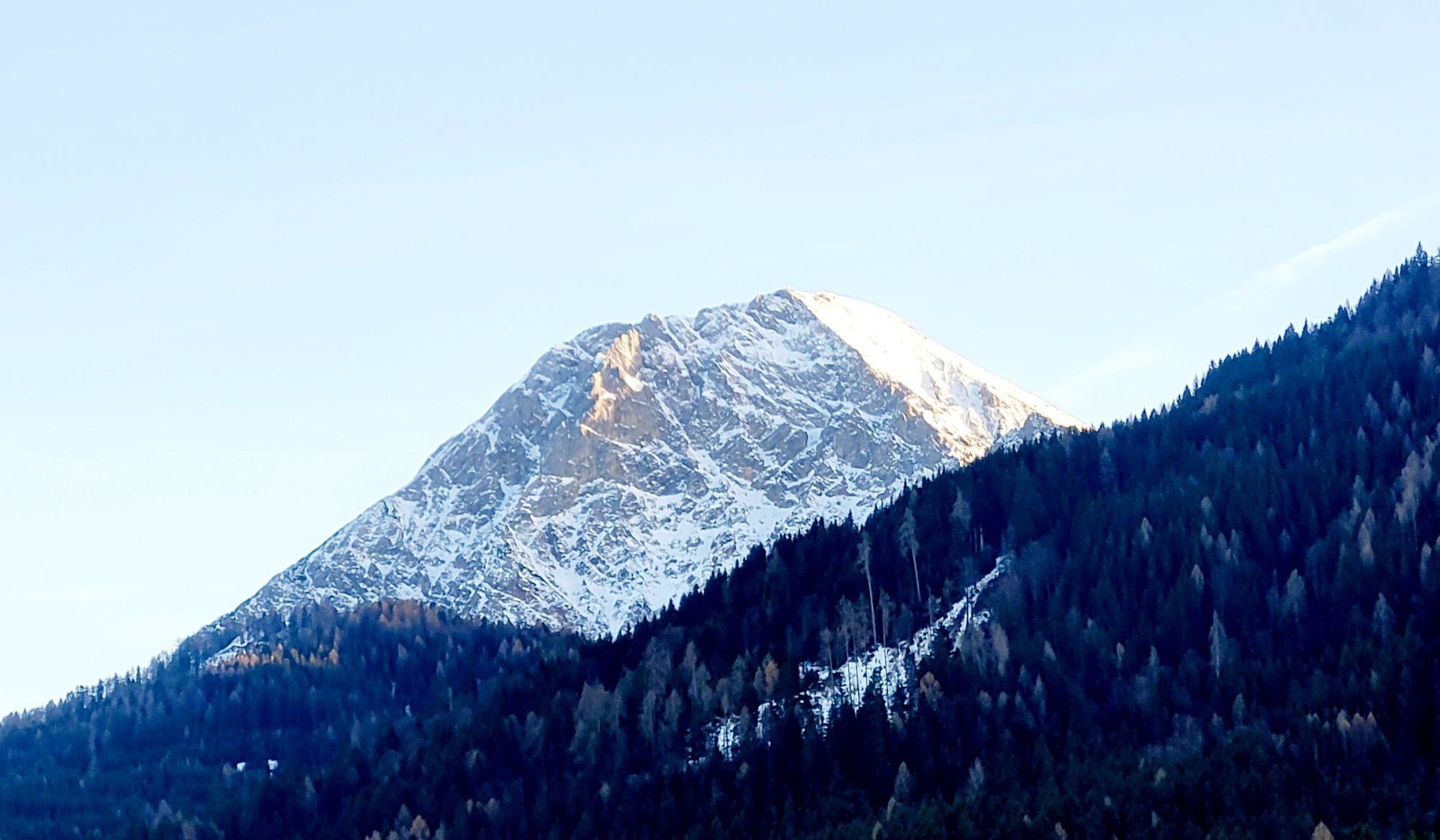
This varied station-to-station tour leads from Villach along the imposing Karawanken mountains to Klagenfurt. Right at the start, there is a challenging climb towards Kanzianiberg, which is particularly...
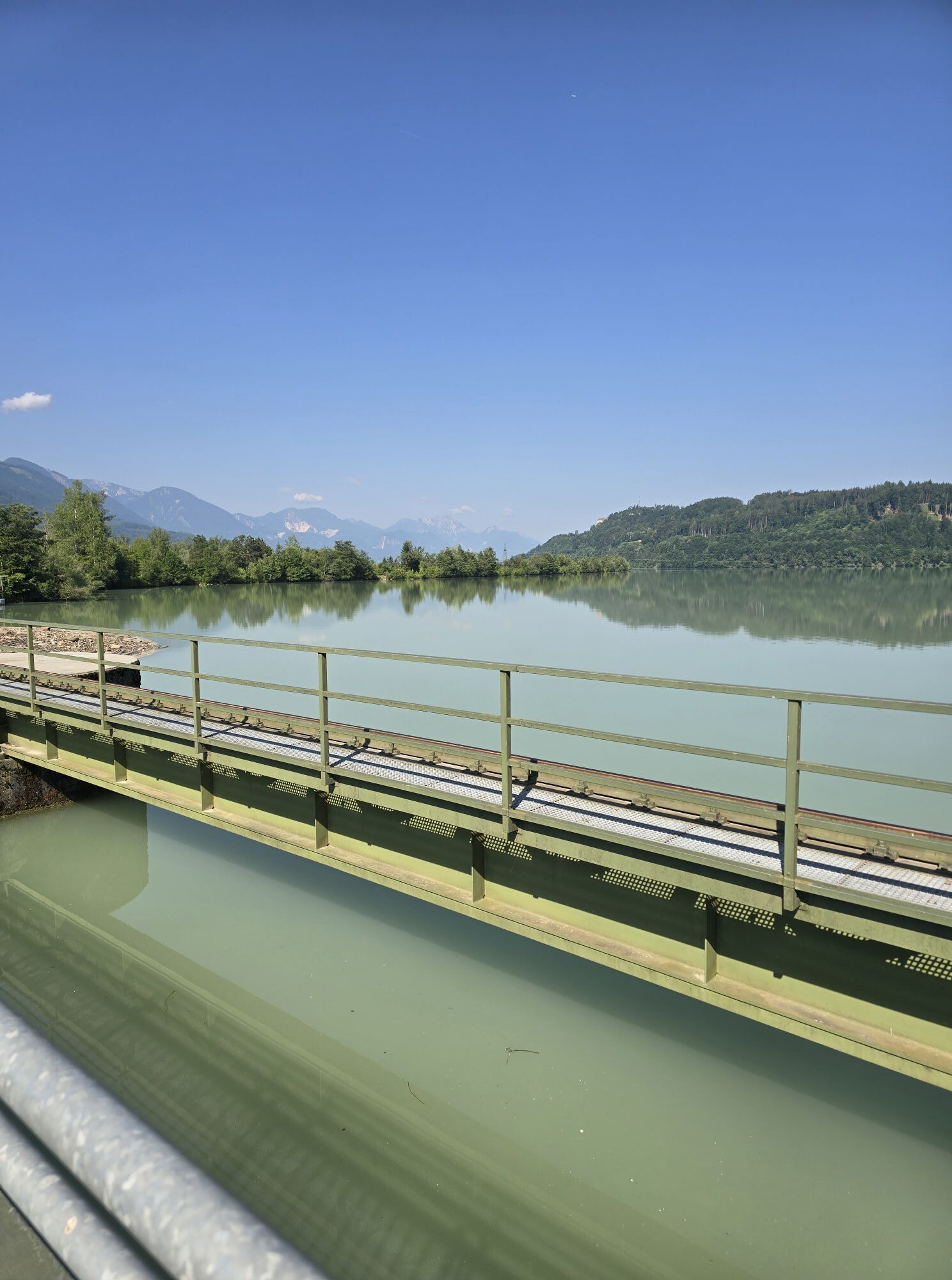
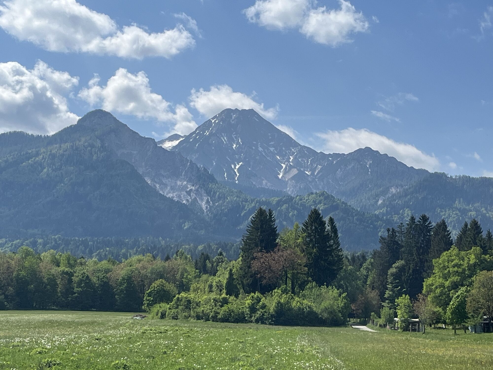
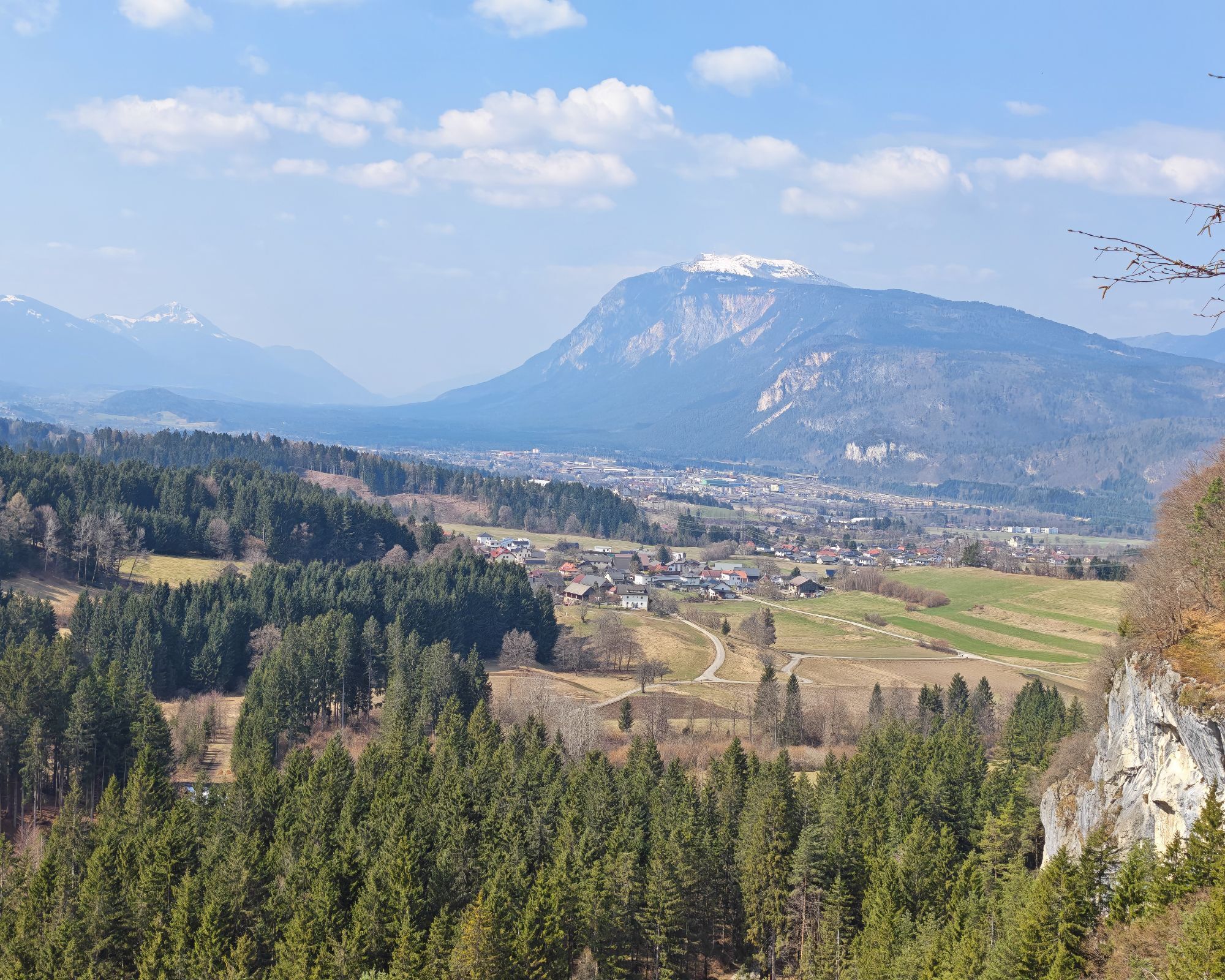
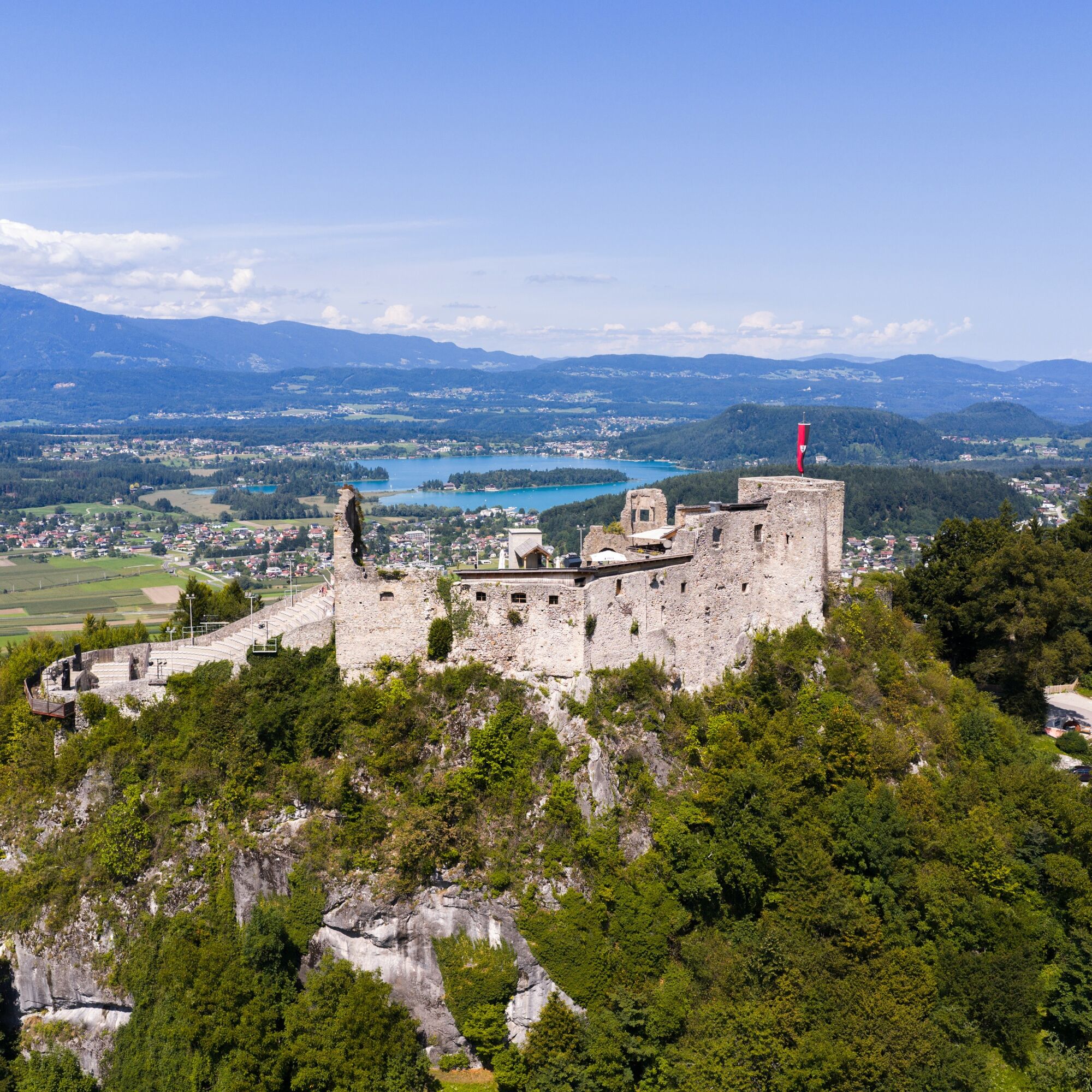
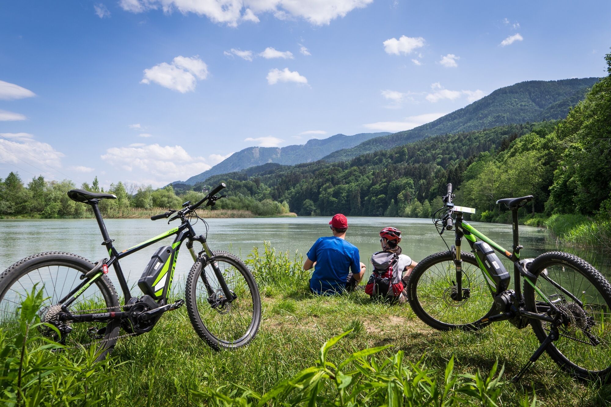
After the descent, the route leads through the so-called "Valley of the Outlaws" and continues along Lake Faak, one of the most beautiful lakes in Austria. With its clear, turquoise water and impressive mountain backdrop, it offers a real postcard motif.
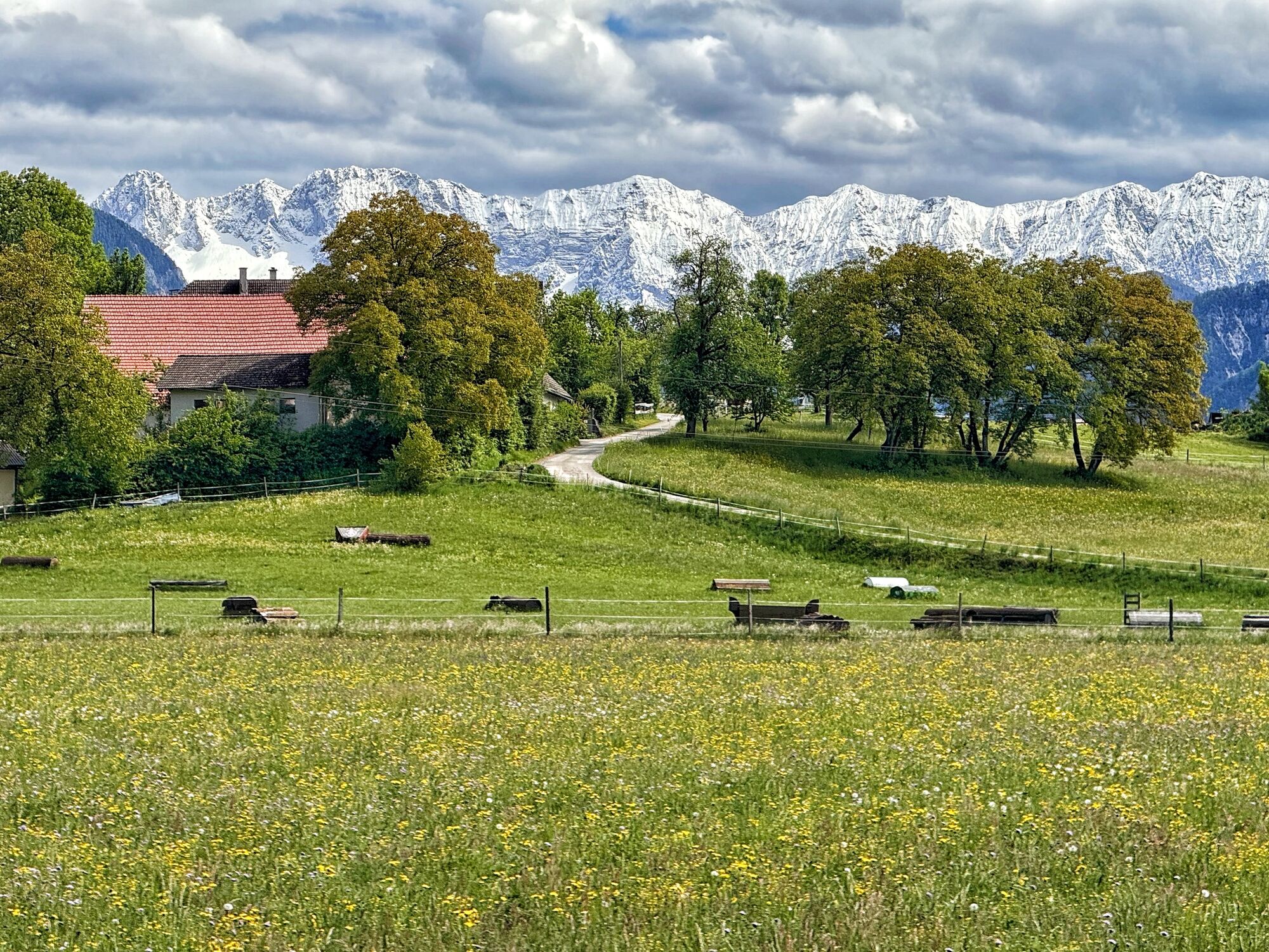
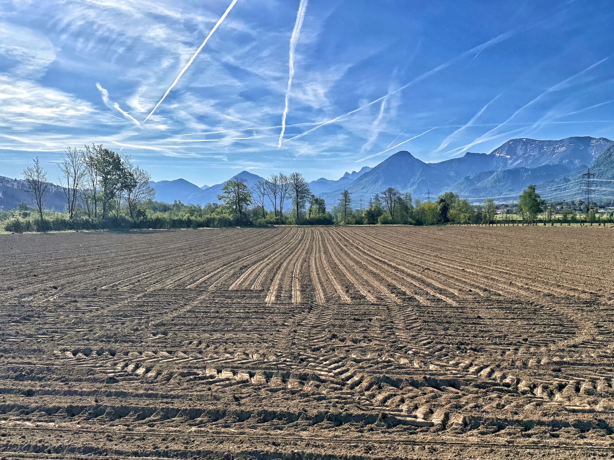
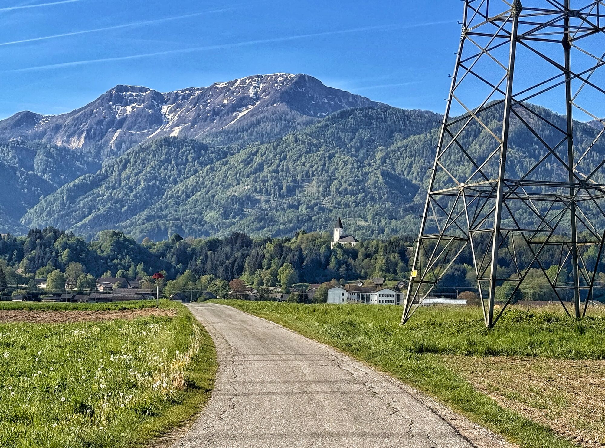
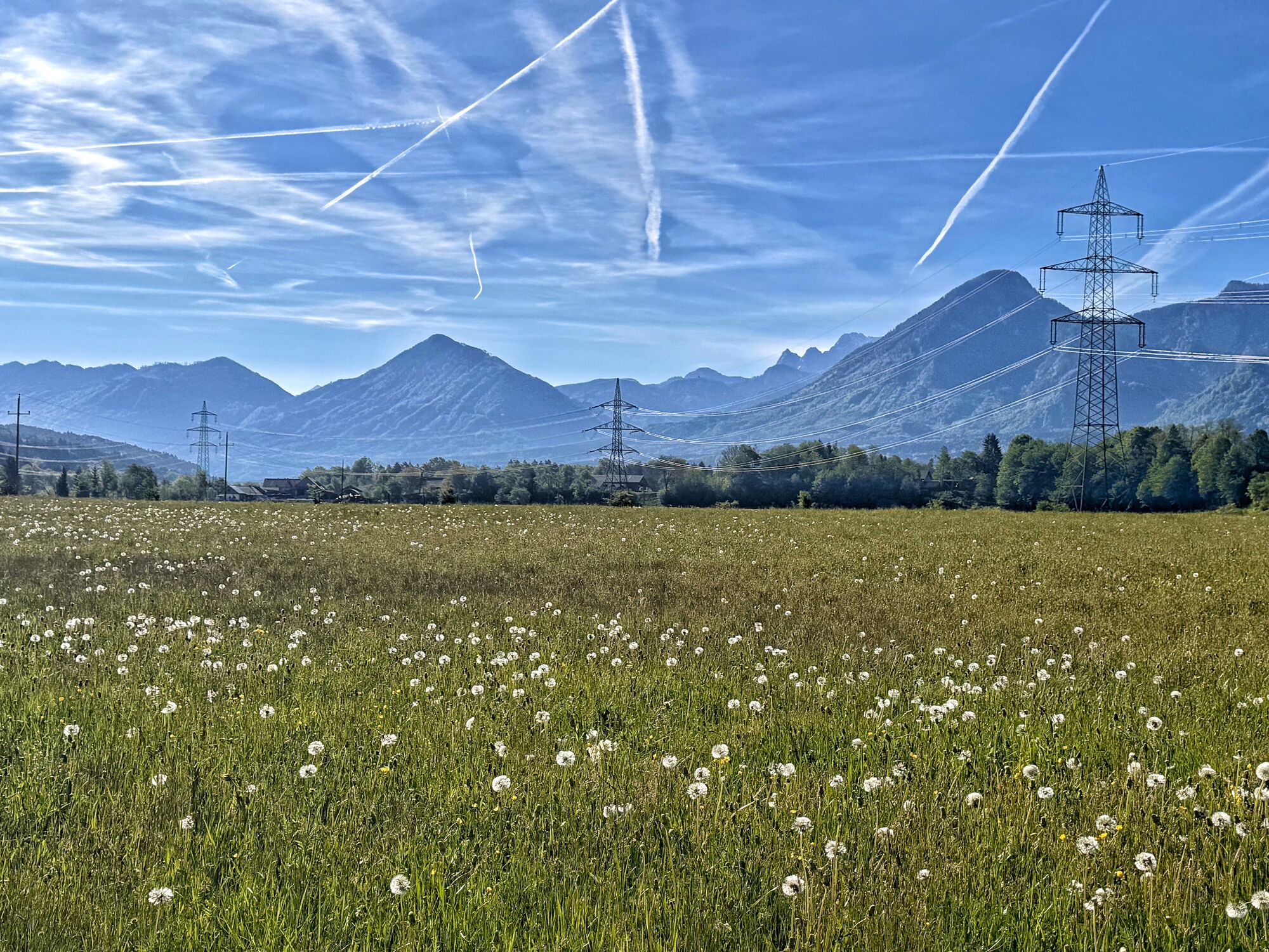
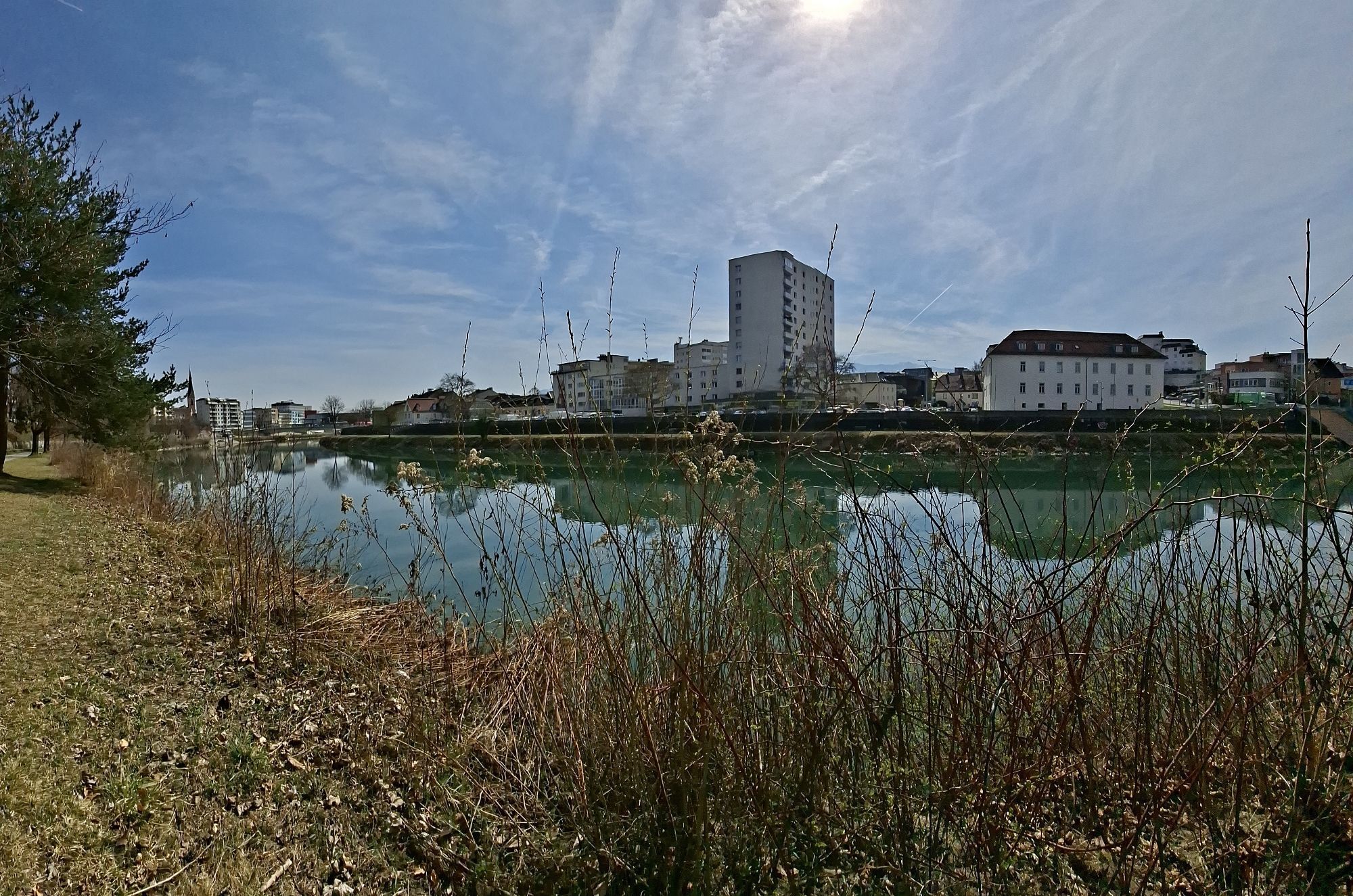
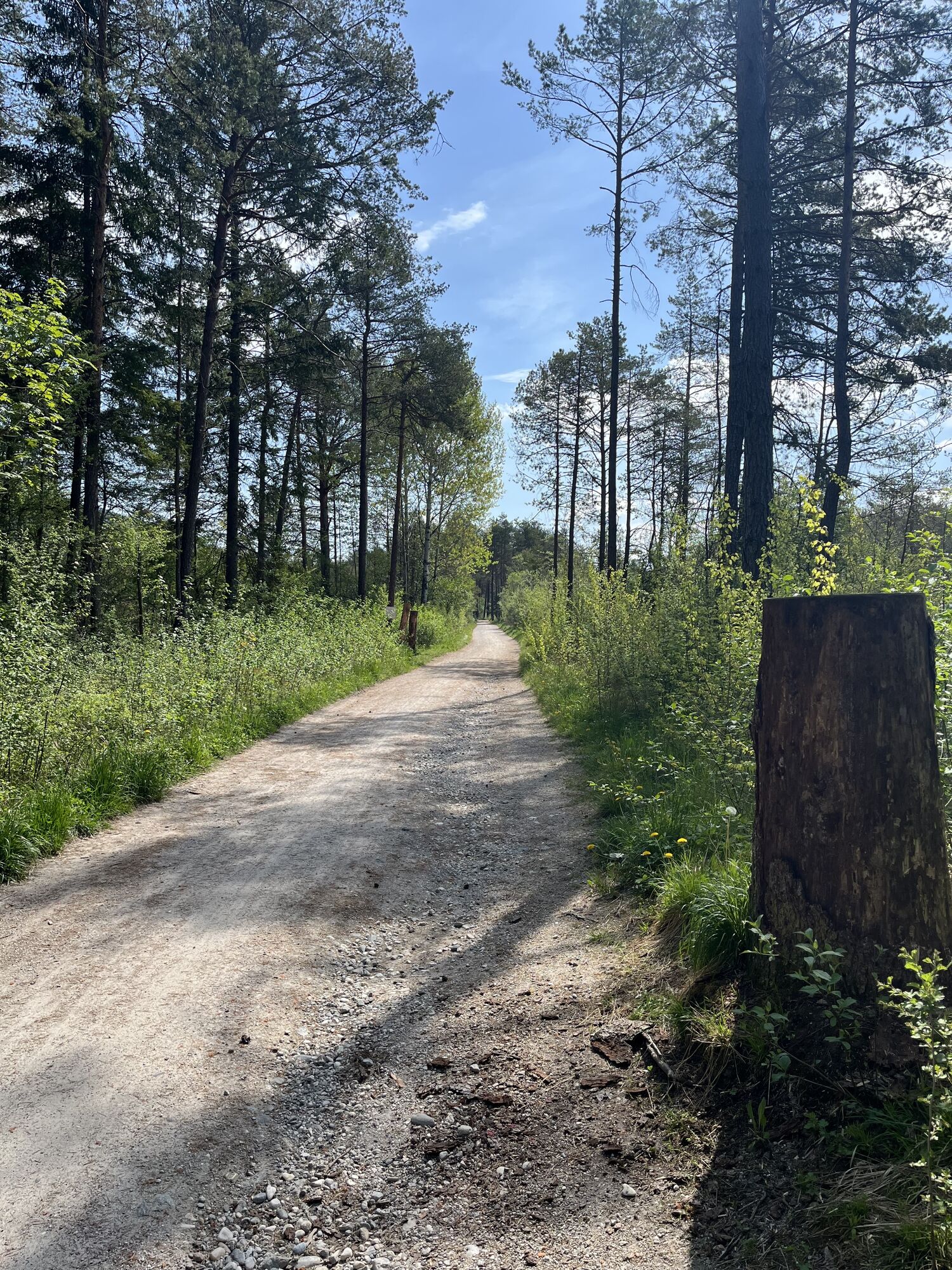
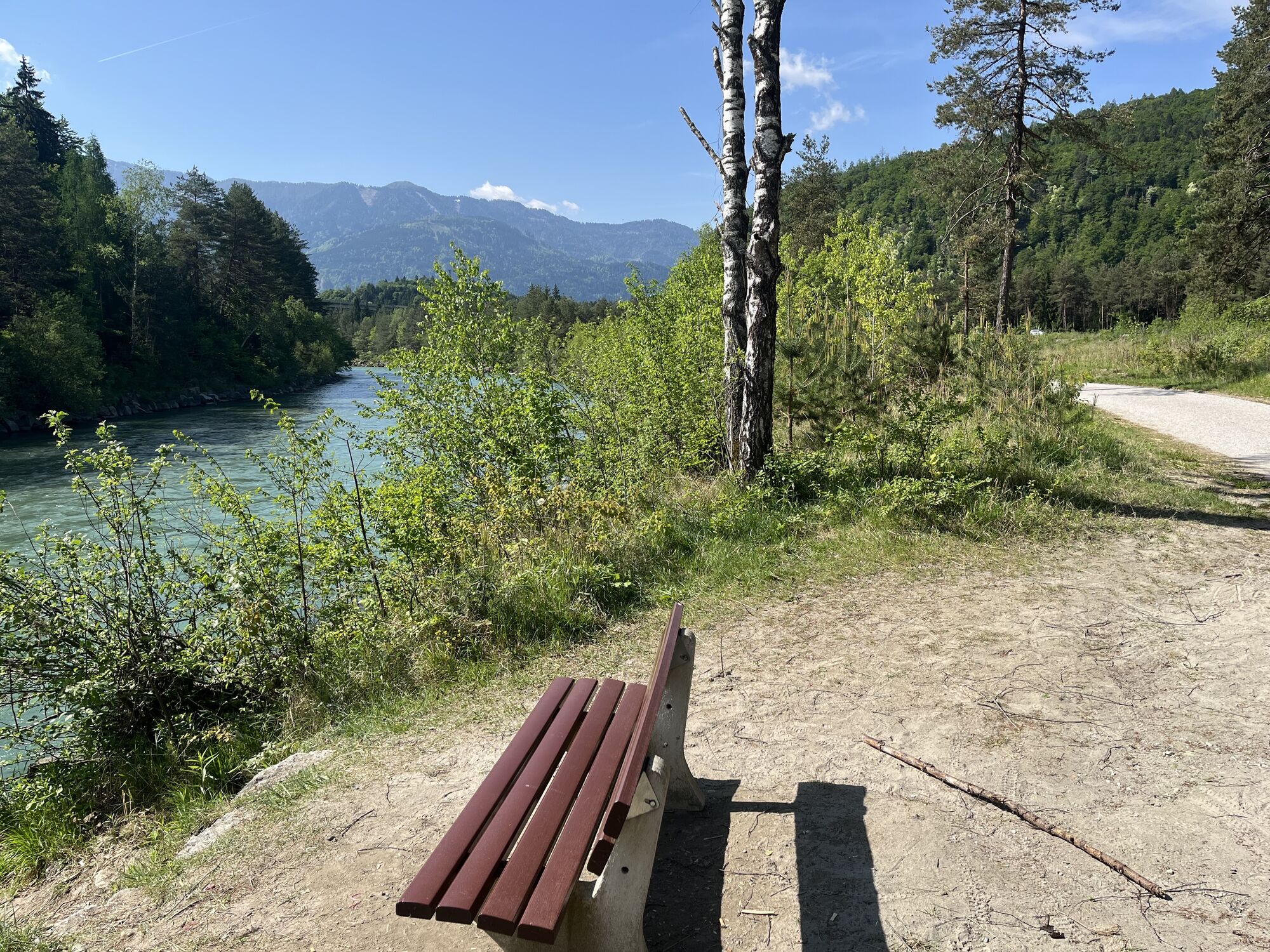
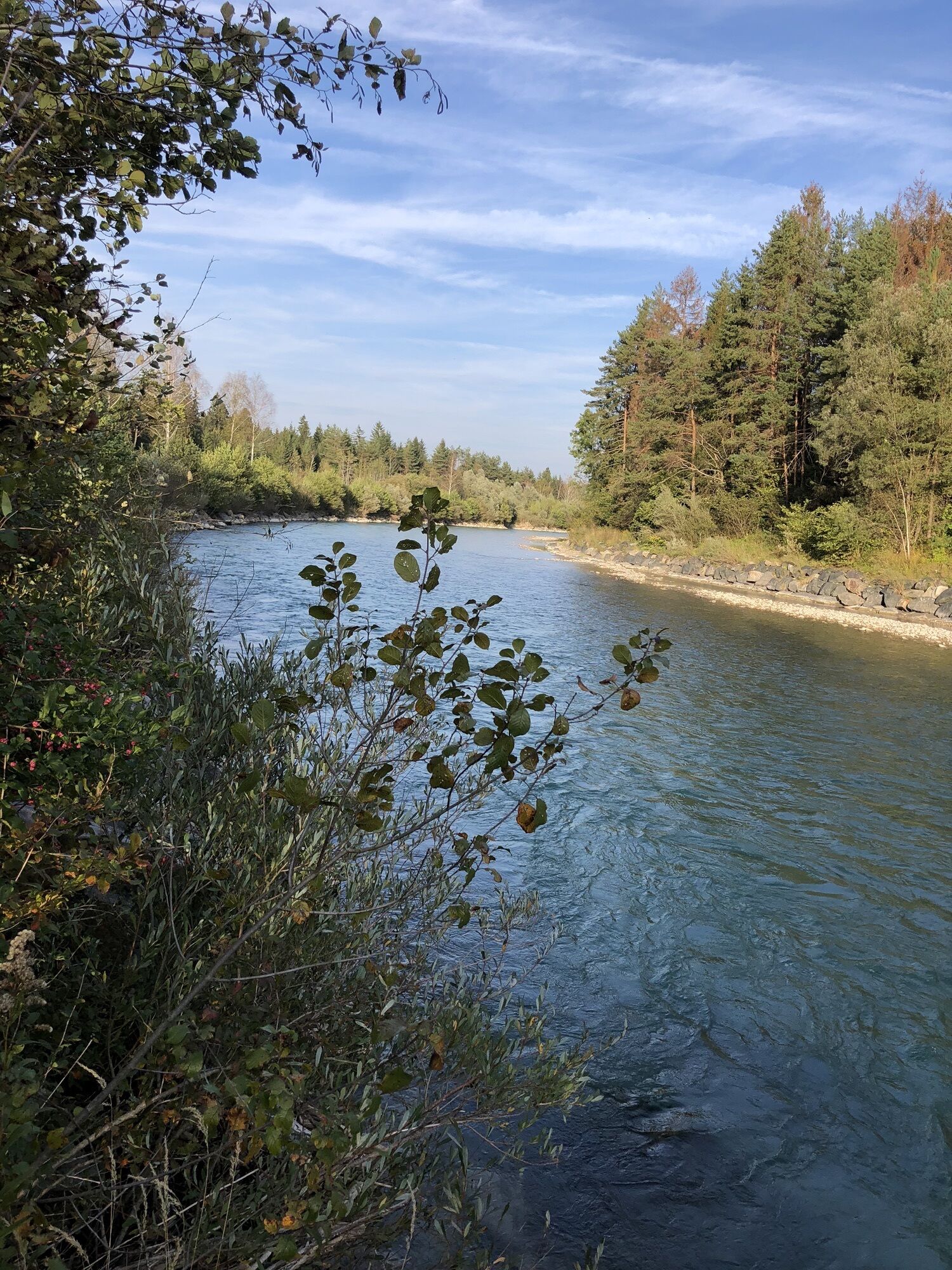
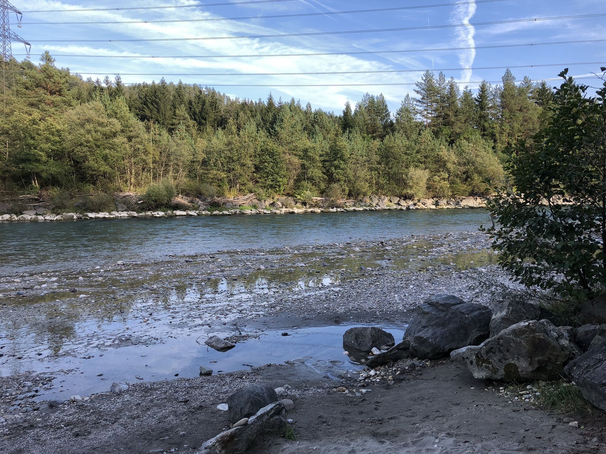
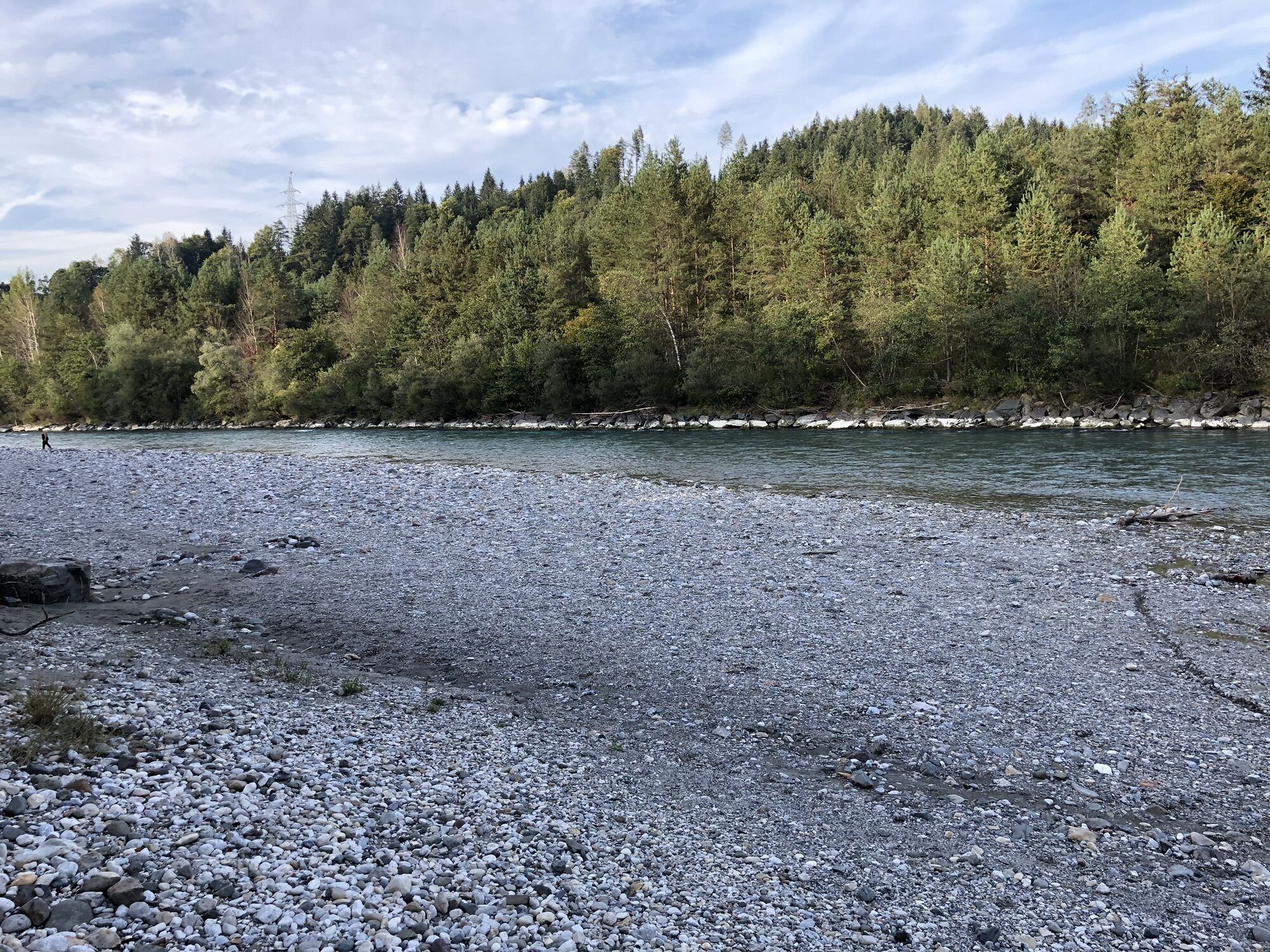
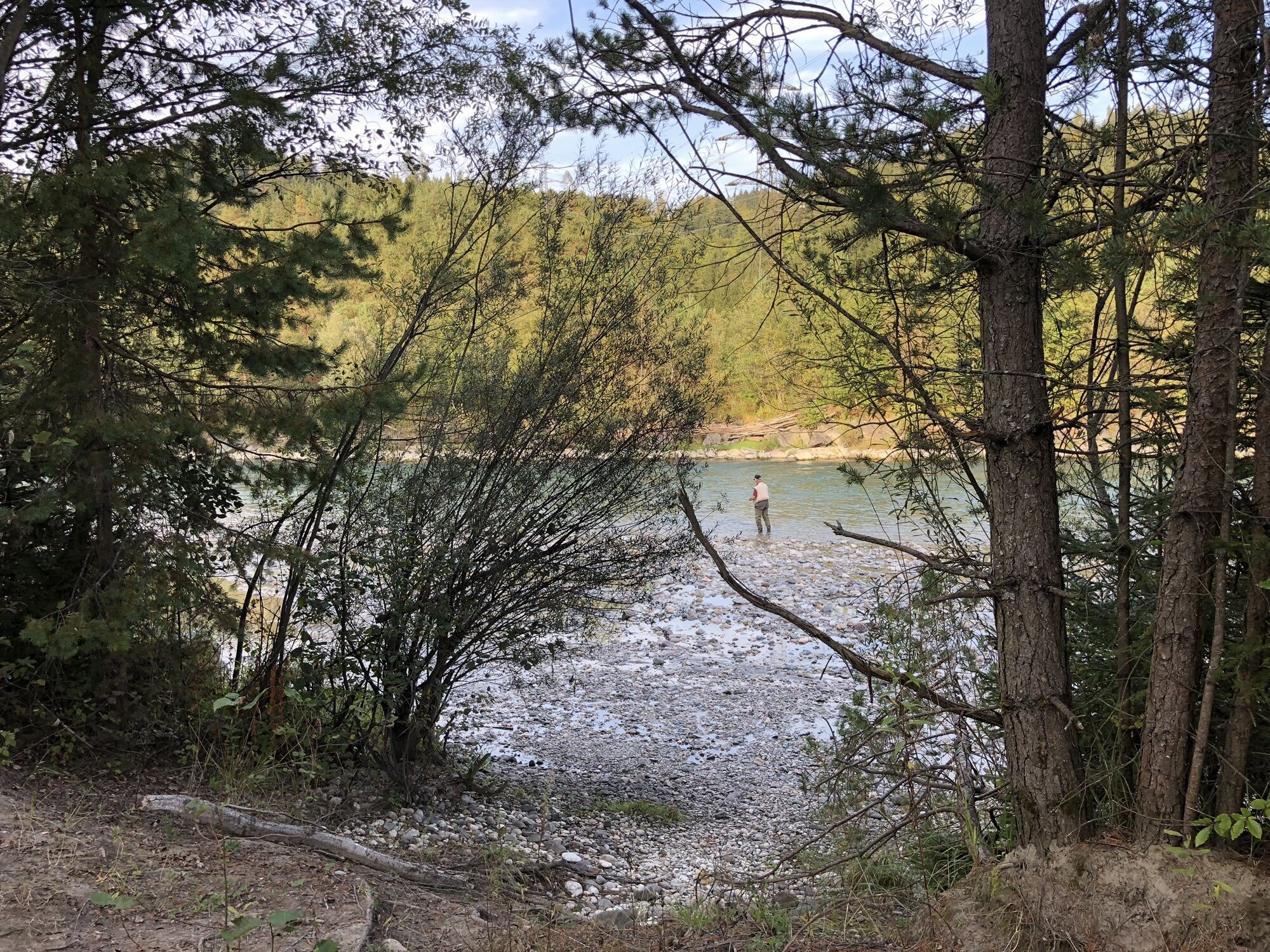
From Mühlbach, the route runs along the Drau cycle path. You cycle relaxed and close to the river via Maria Rain towards Klagenfurt. With the Karawanken mountains always in view, the tour ends at Klagenfurt railroad station.
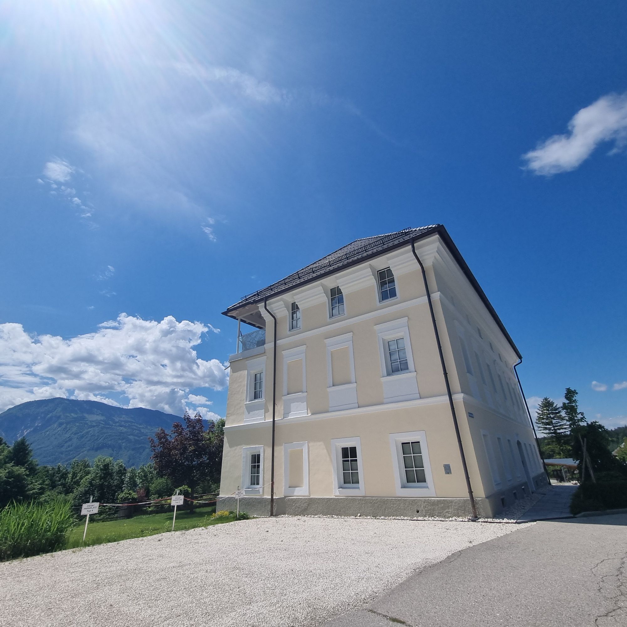
Start station: Villach / Finish station: Klagenfurt am Wörthersee
Villach bike hire station: Papin Sport & Freizeit GmbH - Gerbergasse 37,9500 Villach, + 43 660 6984138, +43 720 445660
Bike rental station Klagenfurt: Tourist information Klagenfurt, Neuer Platz 5, 9020 Klagenfurt a. W., +43 463 287463

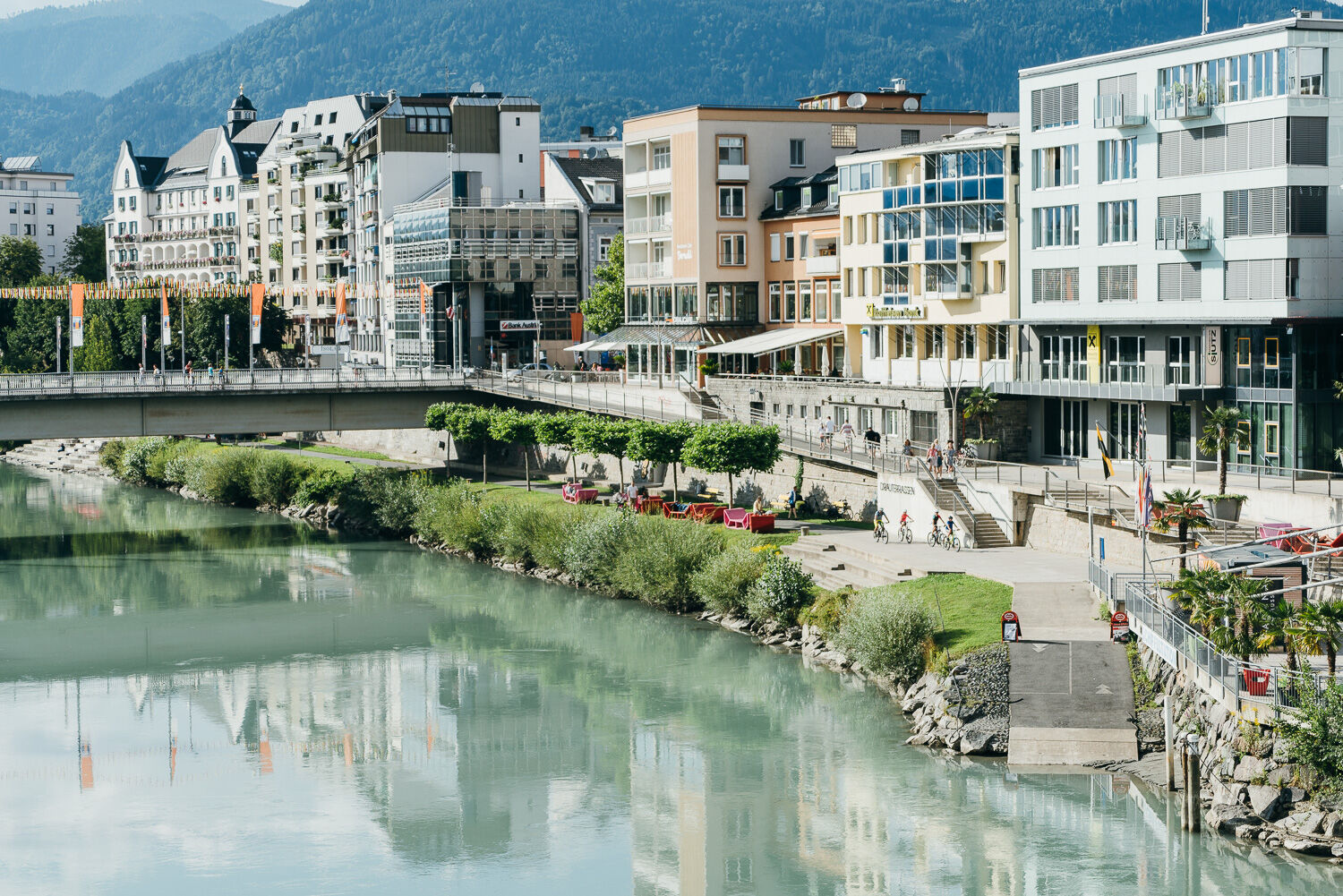
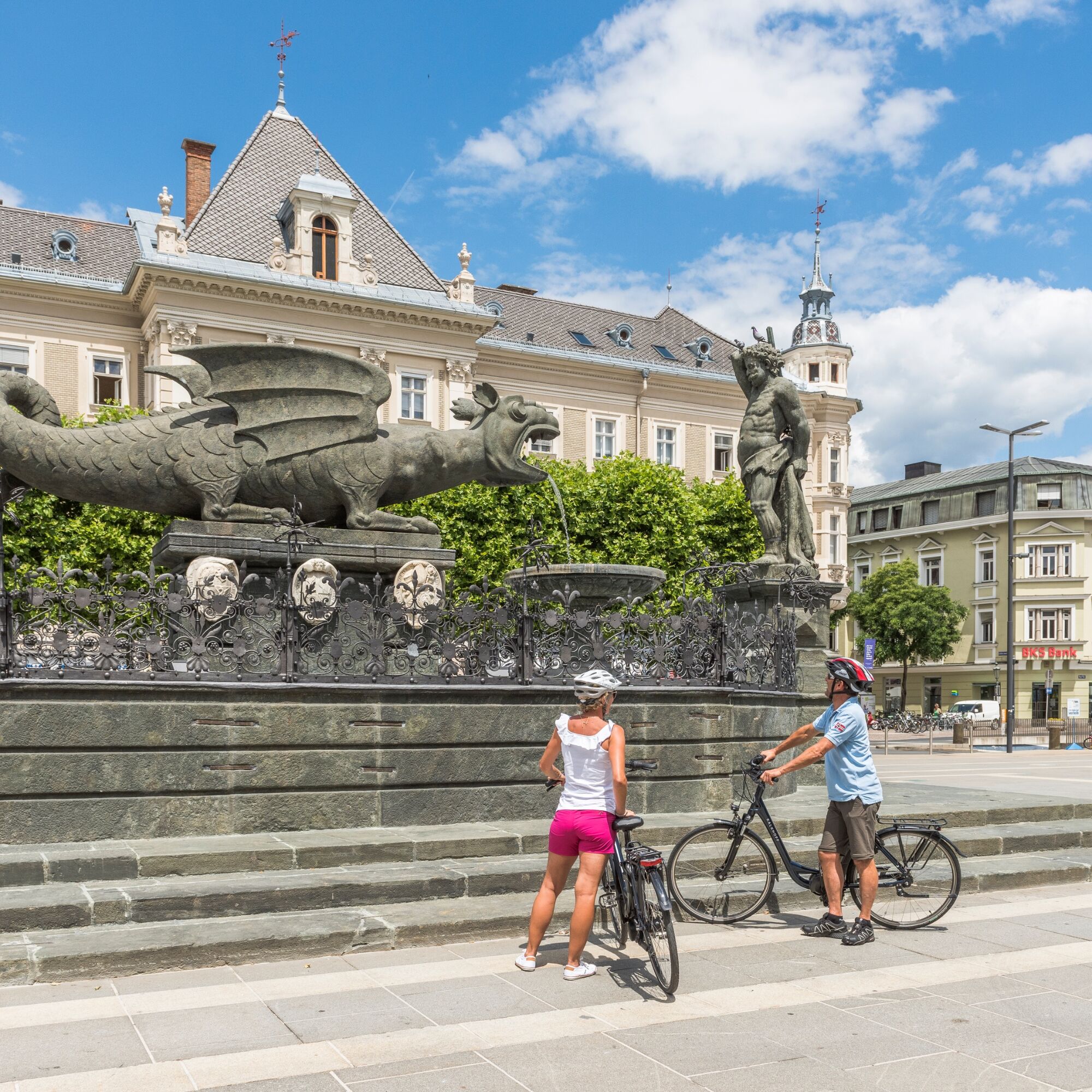
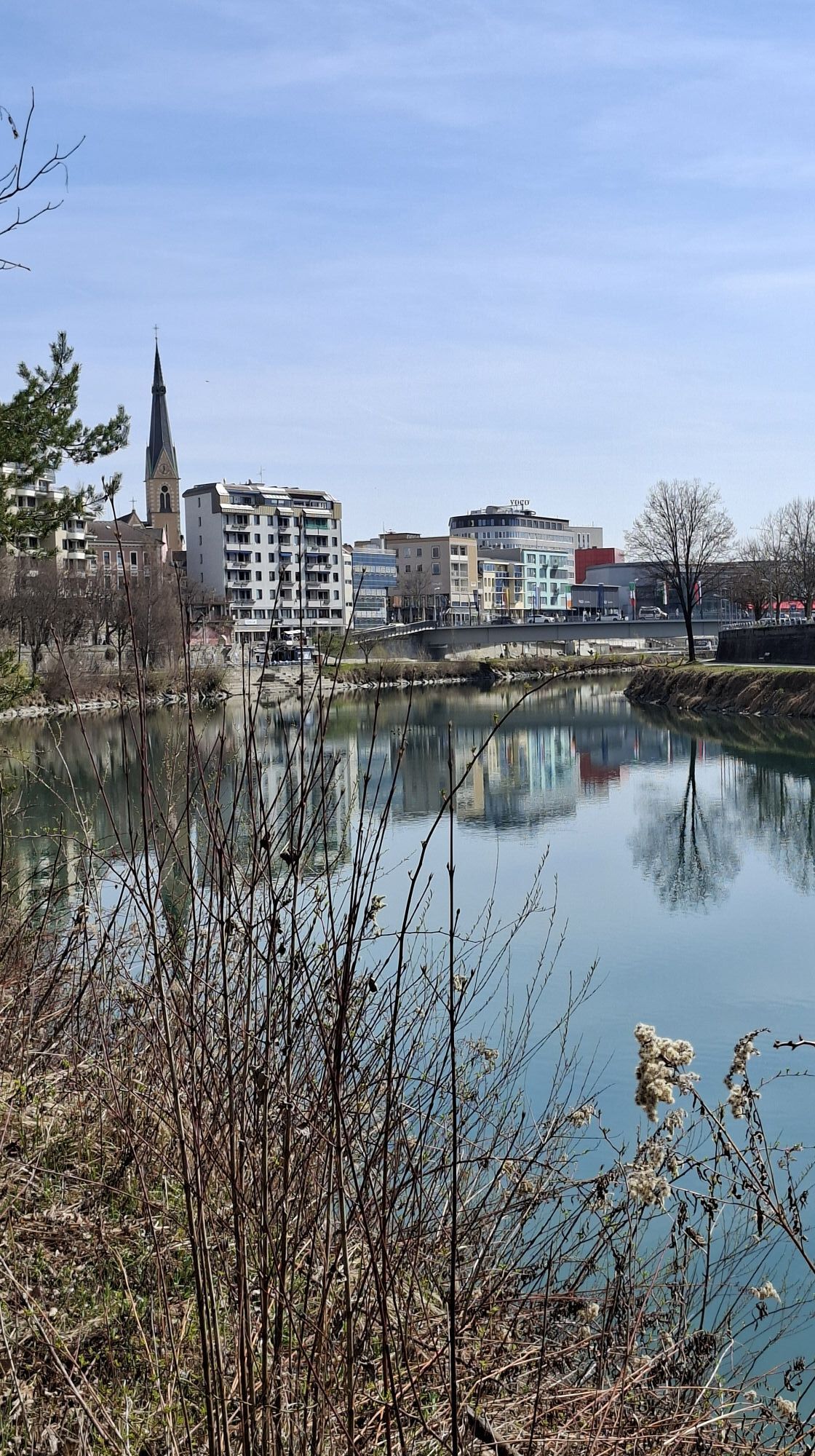
Destination: Klagenfurt am Wörthersee main station
3
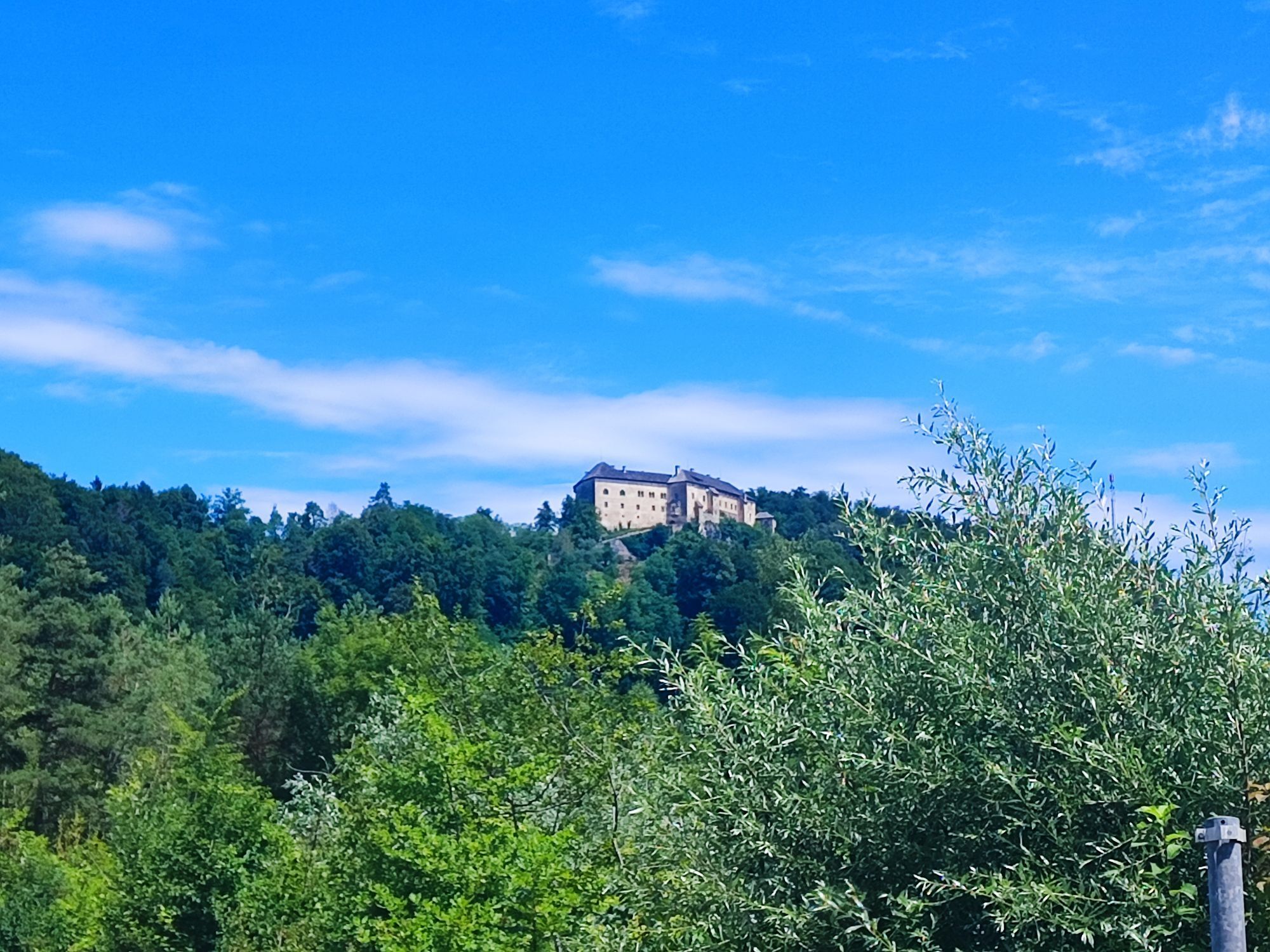
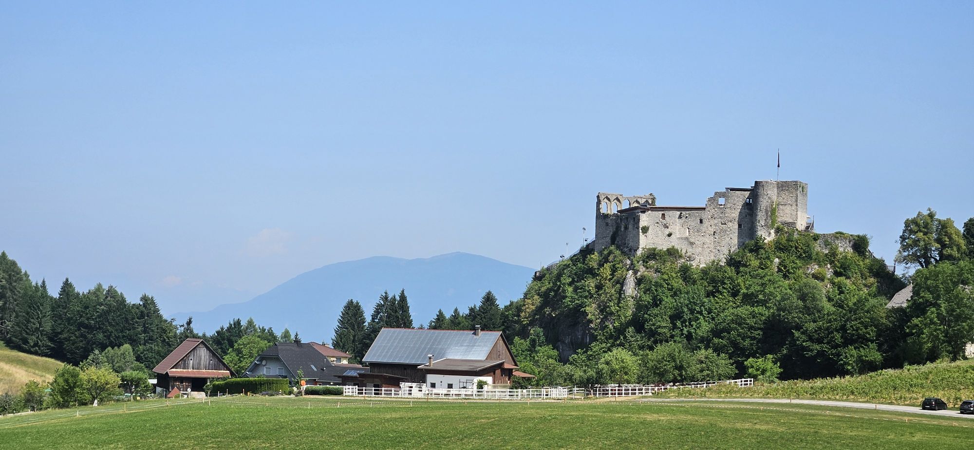
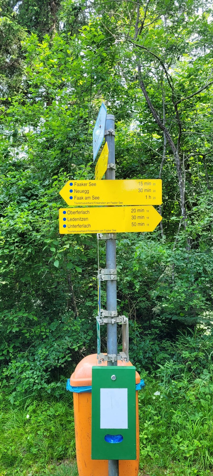
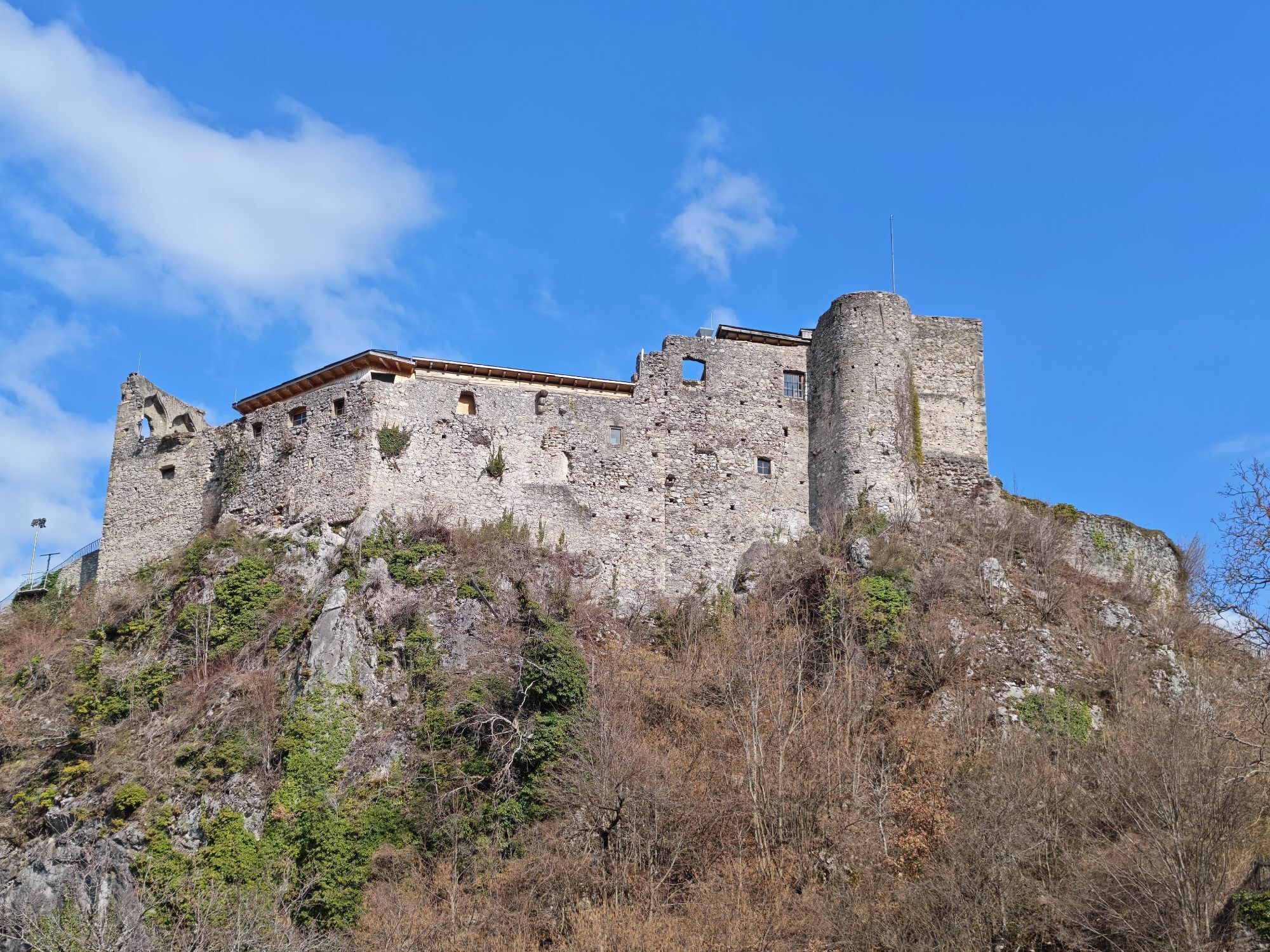
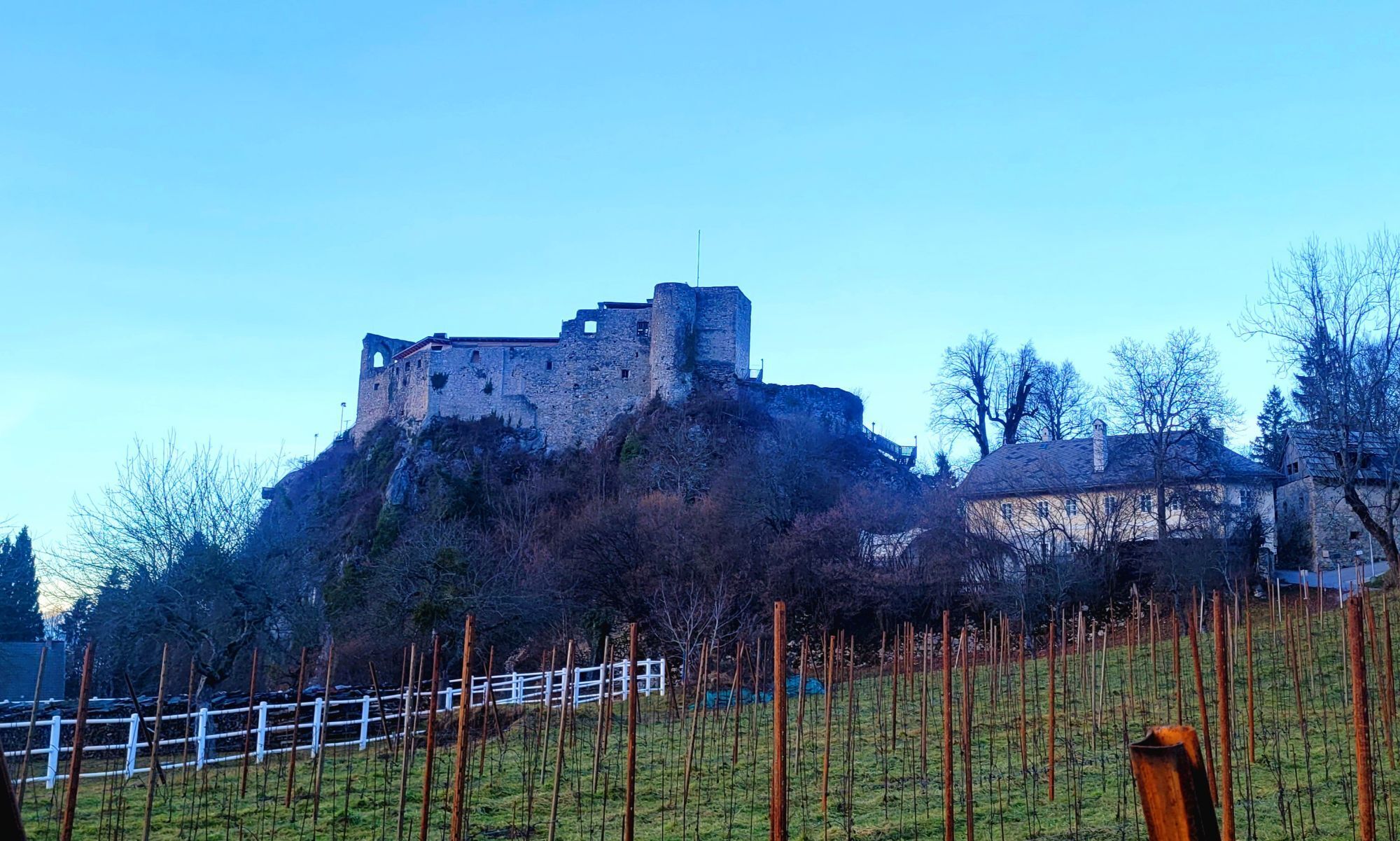
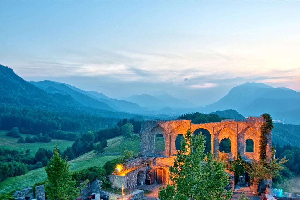
If you prefer a flatter route, you can stay on the R1C cycle path in Finkenstein and continue directly towards Lake Faak. This will save you around 200 meters in altitude - but you will miss out on the impressive panorama from the castle.
Kamery internetowe z trasy
-
Velden - Bootswerft Schmalzl
-
Burgruine Finkenstein
-
Faaker See
-
Faaker See
-
Faaker See
-
Faaker See
-
Faaker See
-
Faaker See
-
Klagenfurt am Wörthersee / Neuer Platz
-
Landskron
-
Klagenfurt am Wörthersee
-
Villach - Friedensbrücke
-
Strandbad Klagenfurt
-
Klagenfurt, St. Peter
-
Ludmannsdorf/Bilcovs - Gasthof Ogris
-
Schloss Loretto
-
Velden - Barry Memle
-
Velden - Barry Memle
-
Villach
-
Köttmannsdorf - Plöschenberg
-
Burgruine Finkenstein
-
Velden Kurpark / Karawankenplatz
-
Strandpark Velden
-
Ferlach
-
Hotel Post Wrann
-
Faaker See / Grüner Heinrich
-
Klagenfurt Sternwarte
-
Falkensteiner Schlosshotel Velden
-
Faaker See / Haus am See
-
Strandbad Klagenfurt
-
Kathreinkogel - Schiefling am Wörthersee
Popularne wycieczki w okolicy
-
4,2
MTB-Tour zur Klagenfurter Hütte
średniMountainbike 12,6 km -
5,0
Wörthersee EXTREM
ciężkiWędrówka 60,1 km -
4,5
Pyramidenkogel path Maria Wörth
średniWędrówka 10,8 km -
4,3
Cycling around Lake Wörthersee – leisurely cycling between turquoise blue water and fantastic views
średniJazda na rowerze 48,2 km -
4,4
Lake circular trail
światłoNordic Walking 9,85 km -
4,6
Rotschitza Klamm Klettersteig B/C
średniVia ferrata 3,73 km -
4,7
Hoher Gallin route
średniWędrówka 7,09 km -
4,5
Baumgtn. Höhe, Mallestiger Mittags- und Schwarzkogel
ciężkiWędrówka zimą 10,7 km -
3,9
Lake Wörthersee Circular Route
średniJazda na rowerze 41,2 km -
4,4
Mallestiger Mittagskogel
średniWędrówka 8,17 km
Wędrówki i tropienie


Nie przegap ofert i inspiracji na następne wakacje
Twój adres e-mail została dodana do listy mailingowej.