


From Bad Bleiberg to Villach
Beautiful and scenic eBike and trekking bike route from Bad Bleiberg to the village of Puch and along the Drau Cycle Path R1 further into the city centre of Villach. Here you can take a stroll through...
Beautiful and scenic eBike and trekking bike route from Bad Bleiberg to the village of Puch and along the Drau Cycle Path R1 further into the city centre of Villach. Here you can take a stroll through the old town before riding back to Bad Bleiberg.
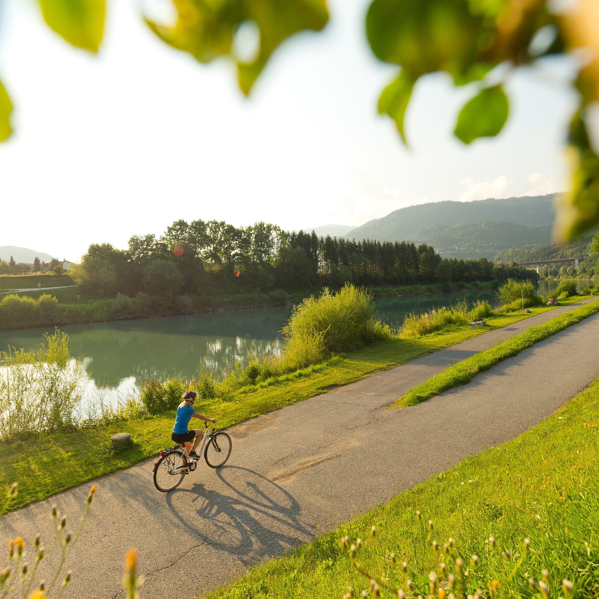
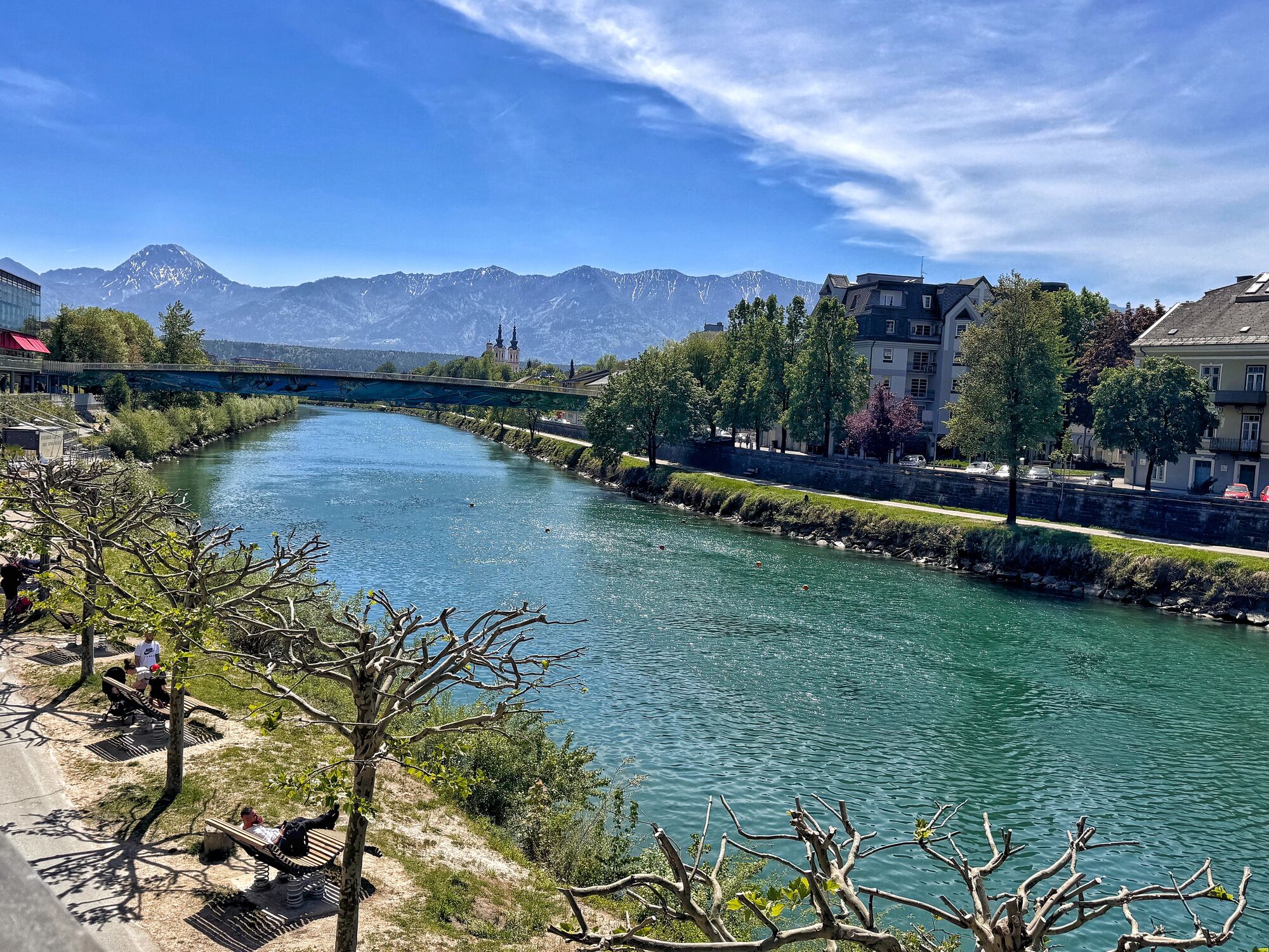
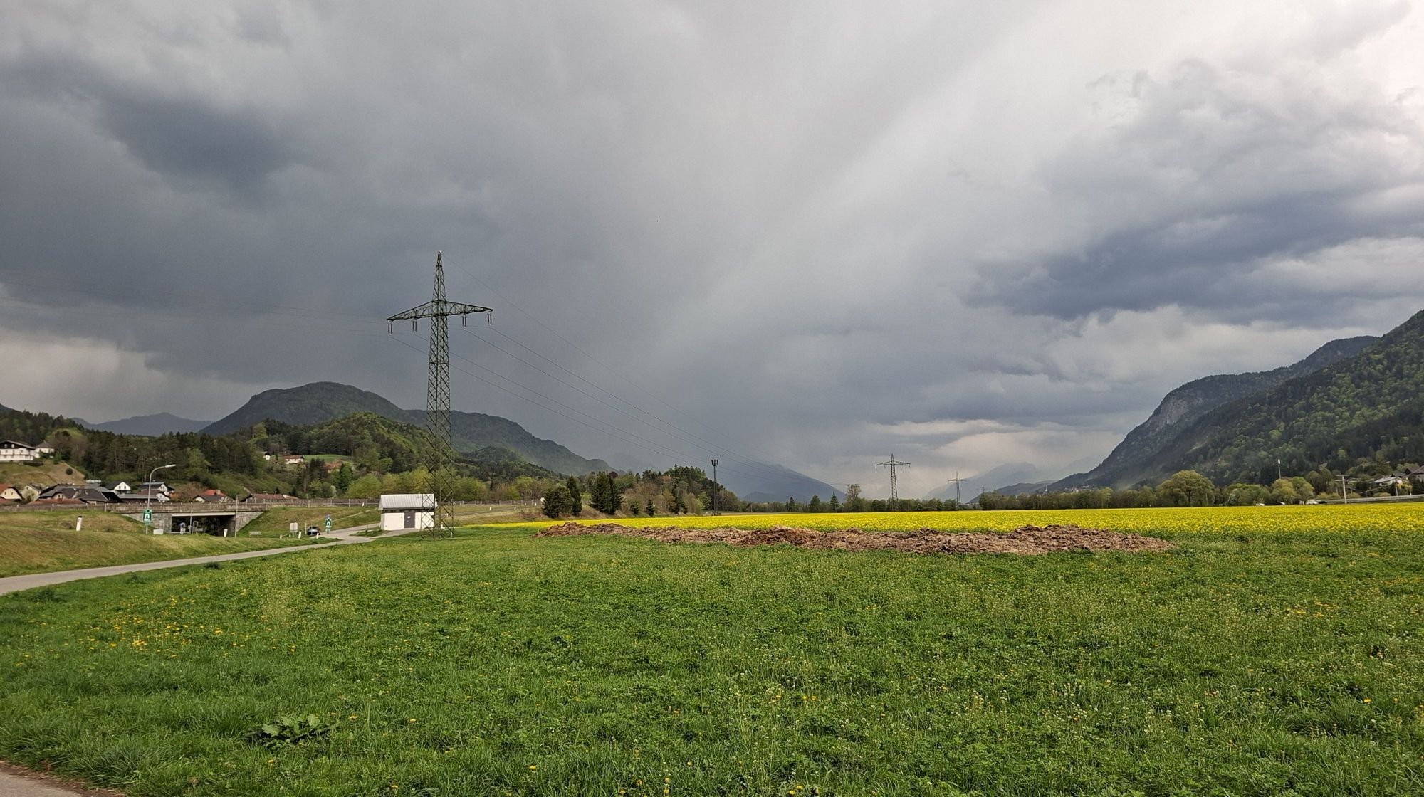
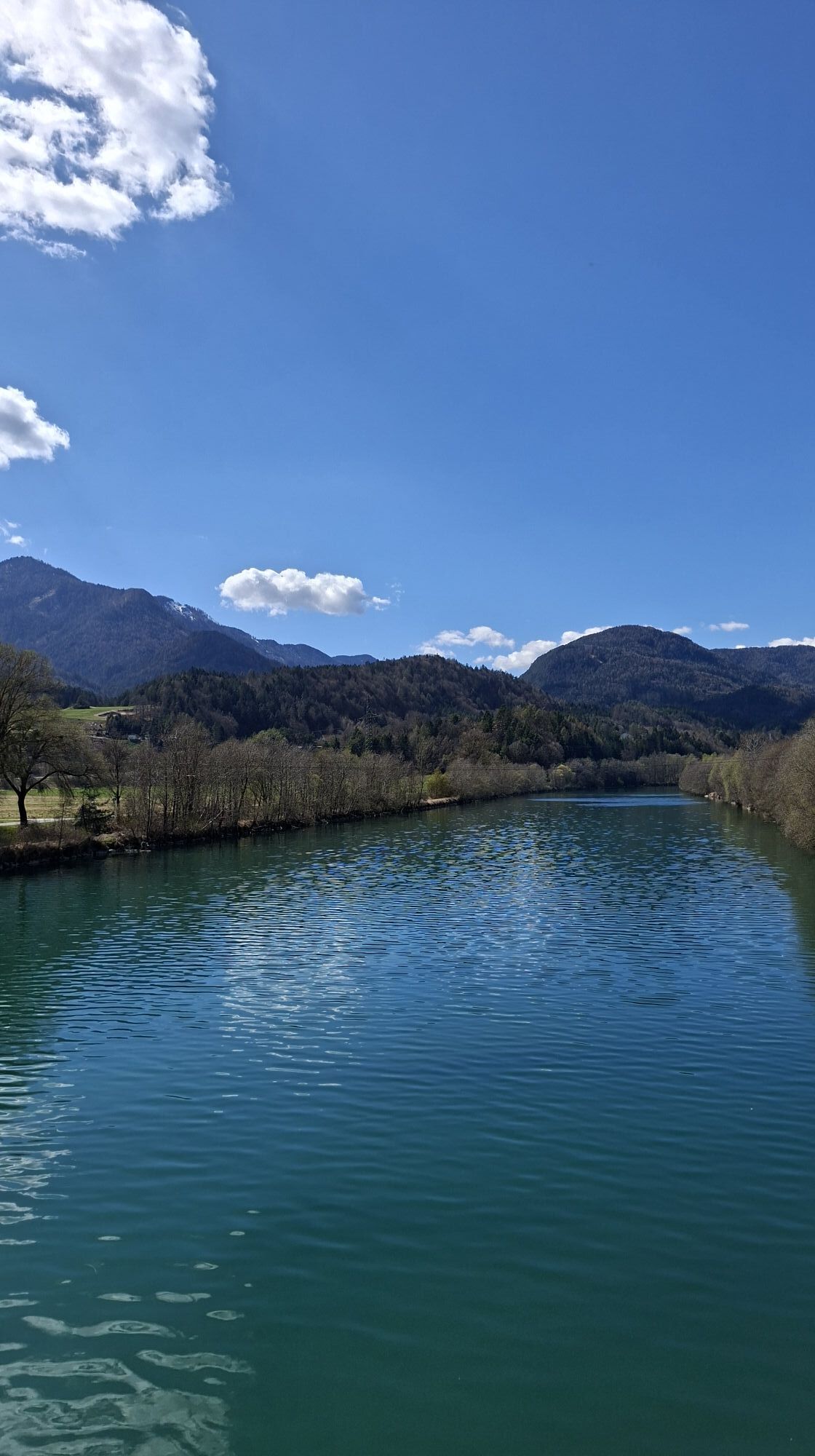
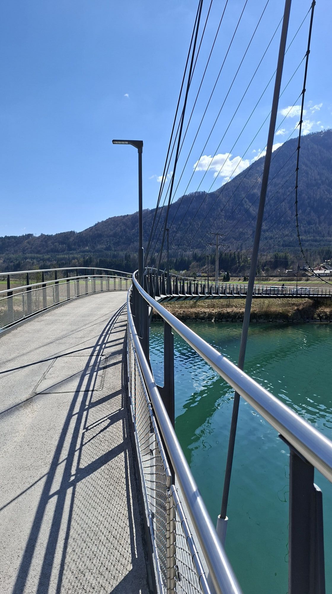
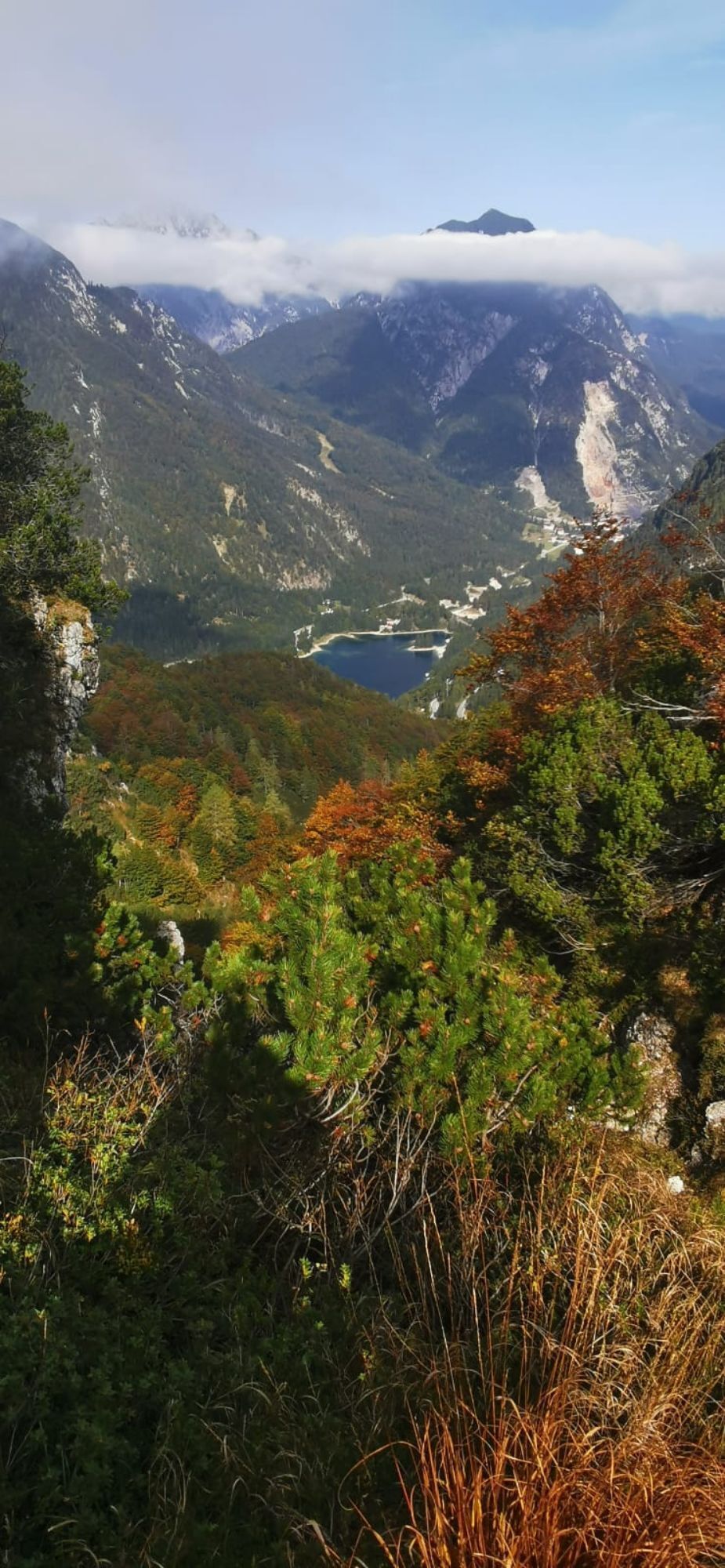
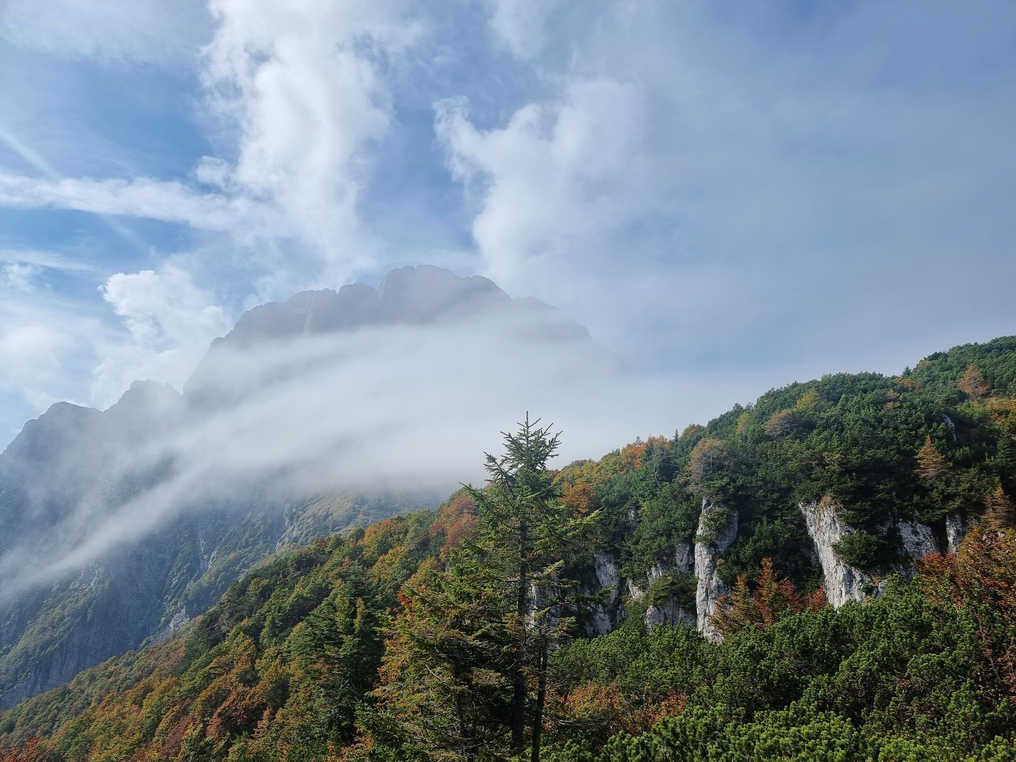
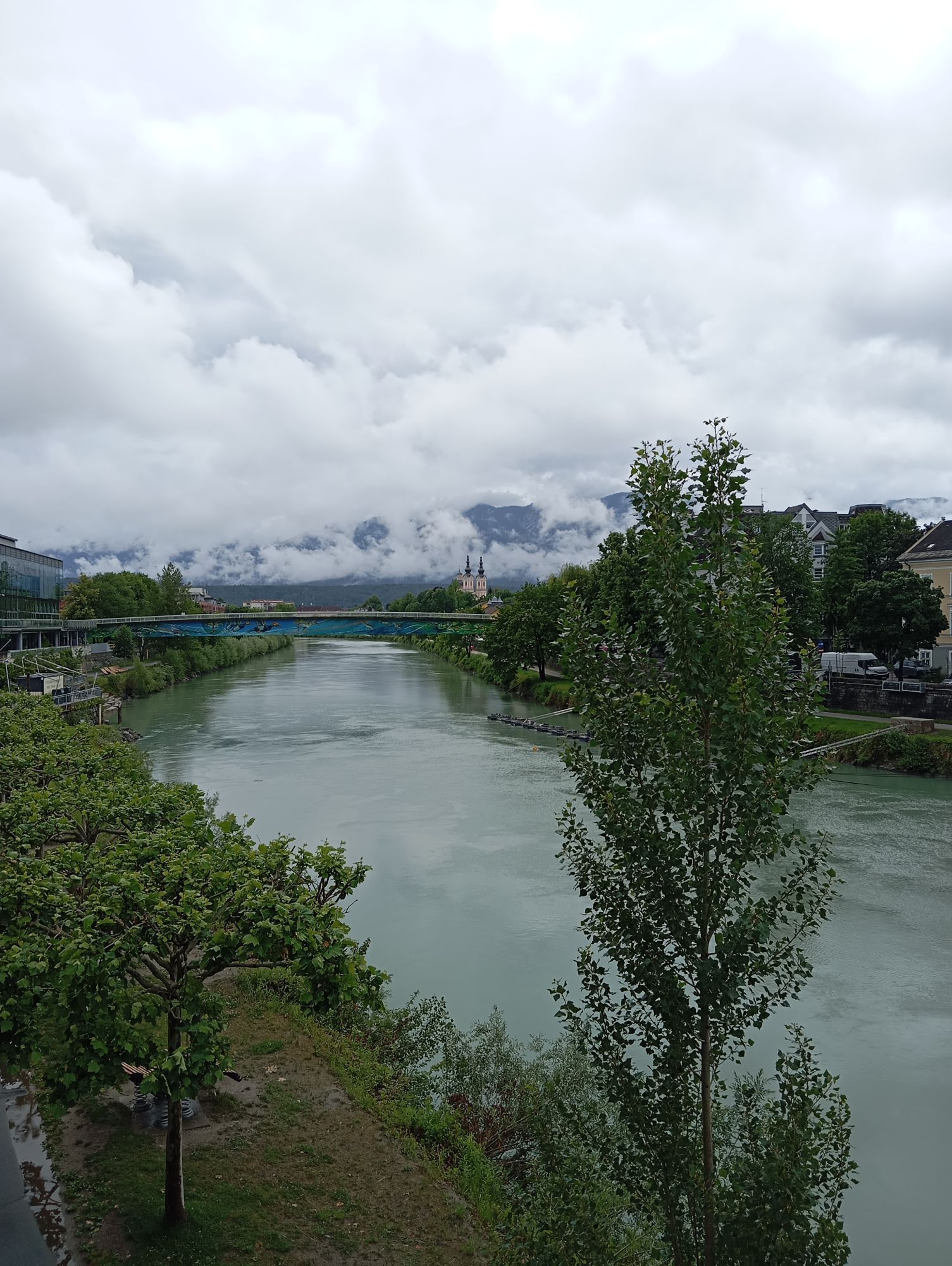
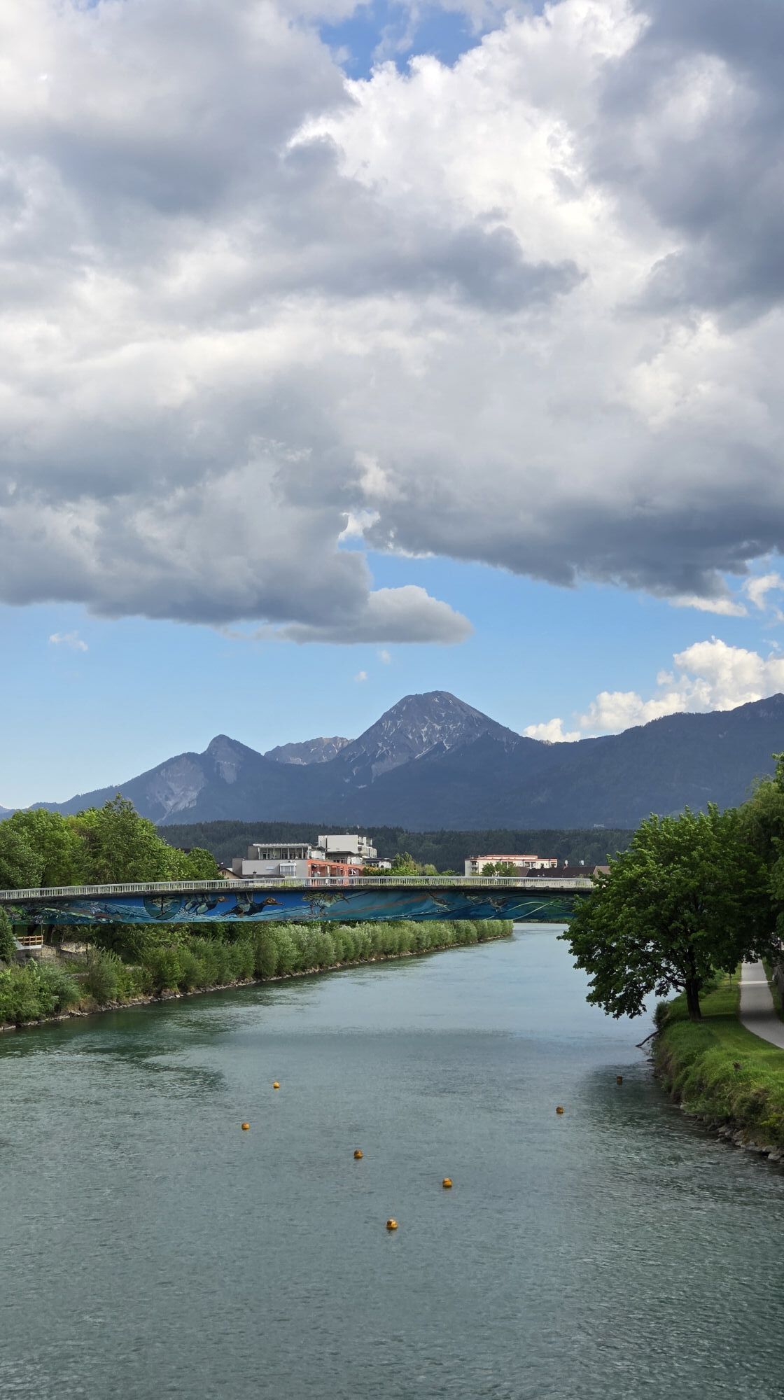
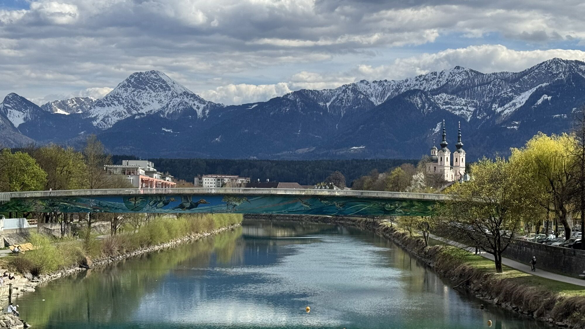
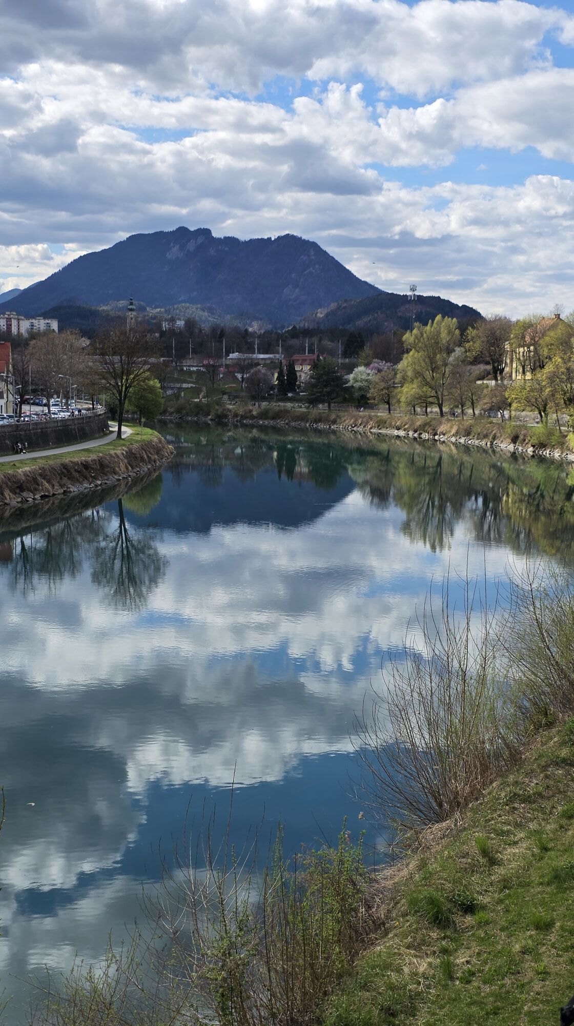
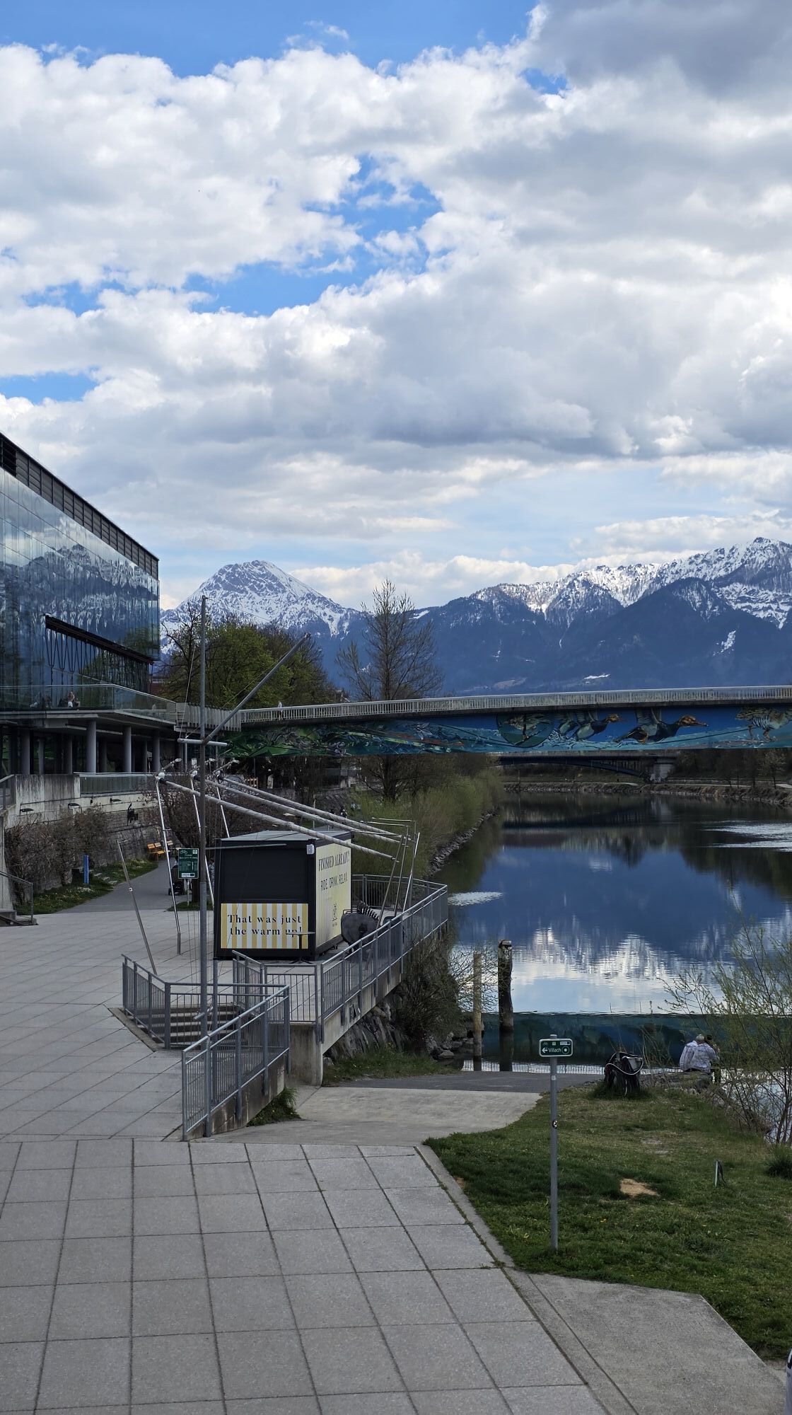
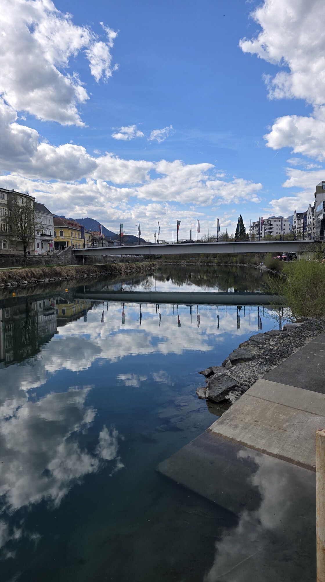
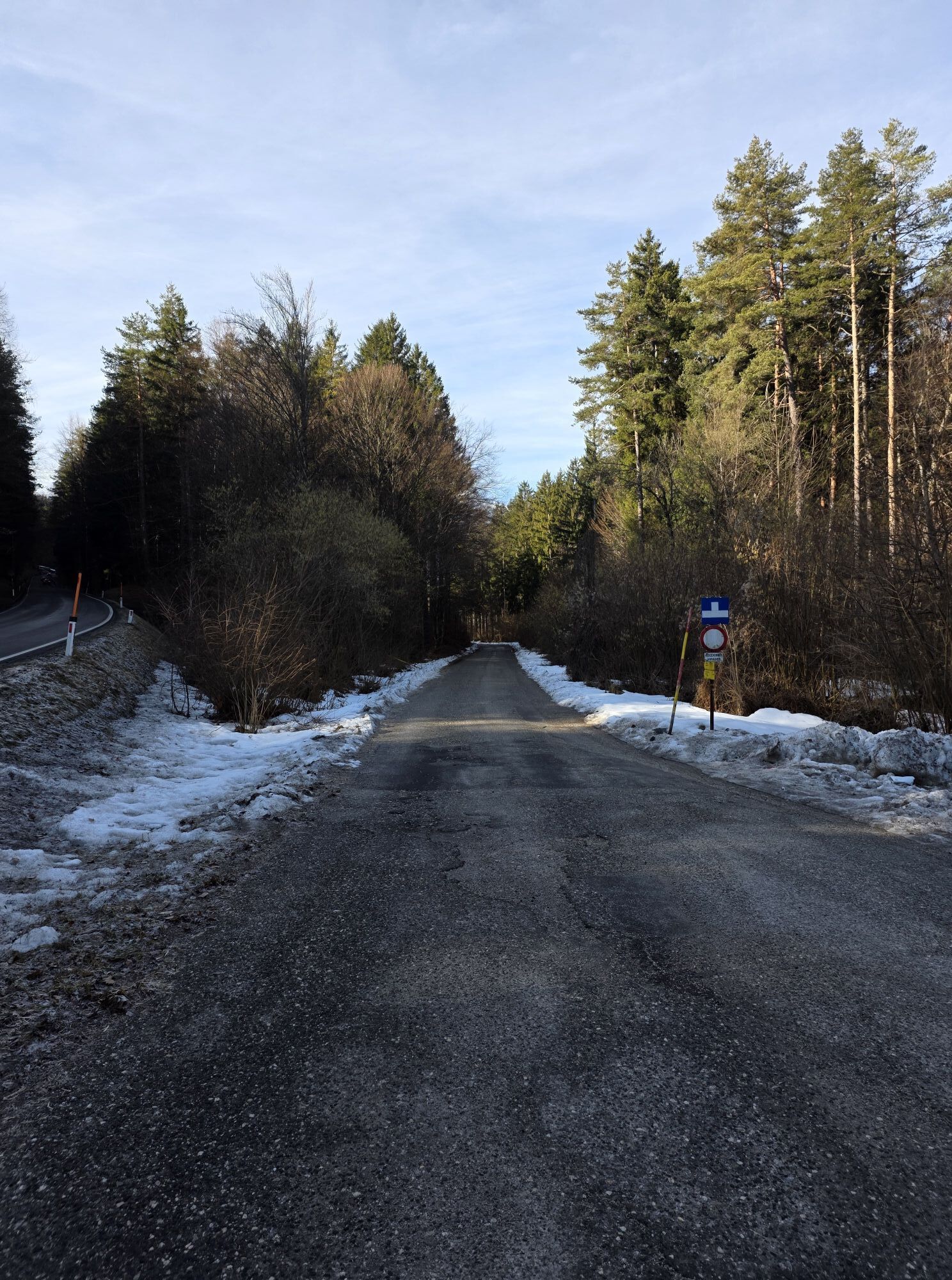
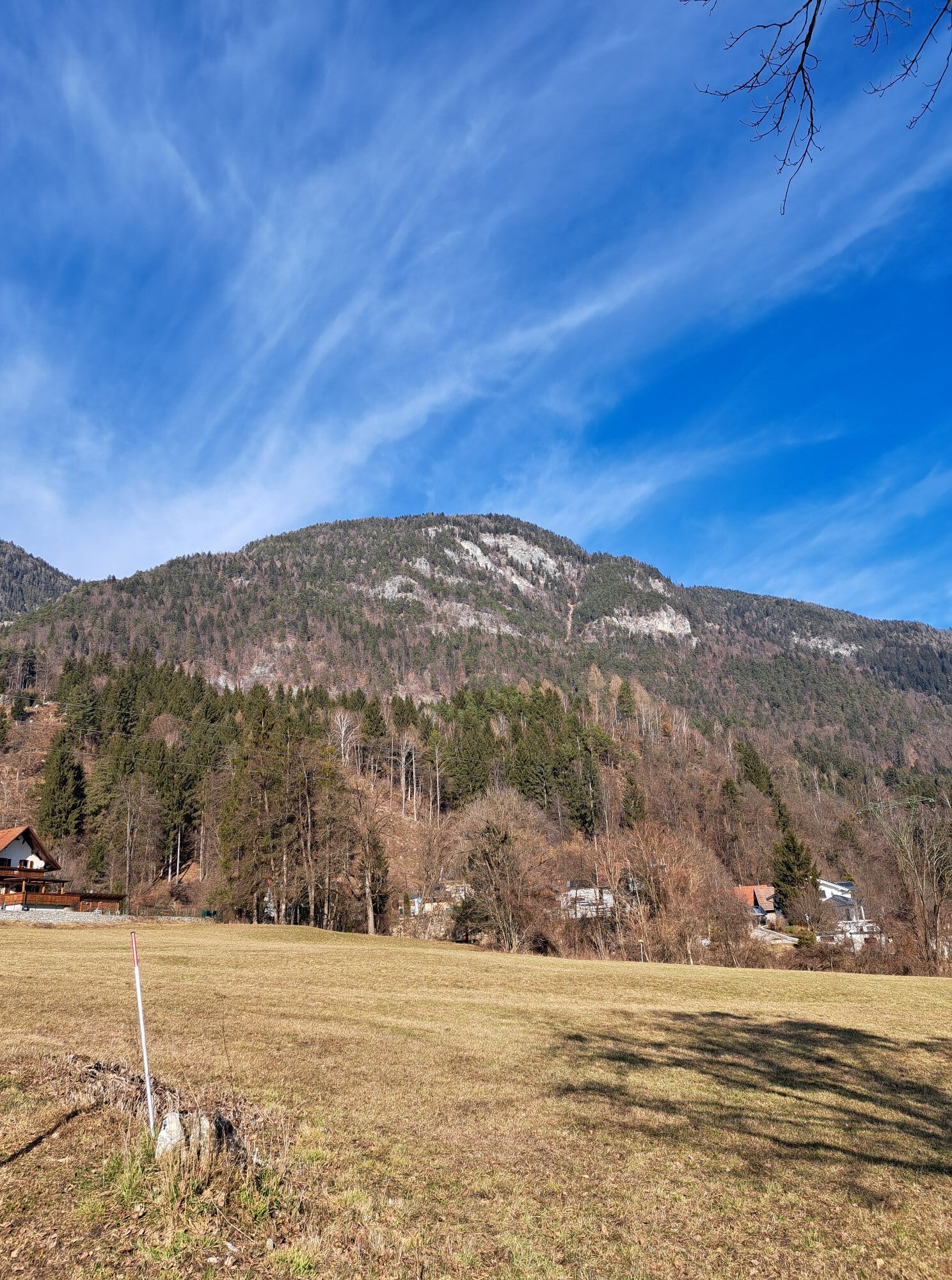
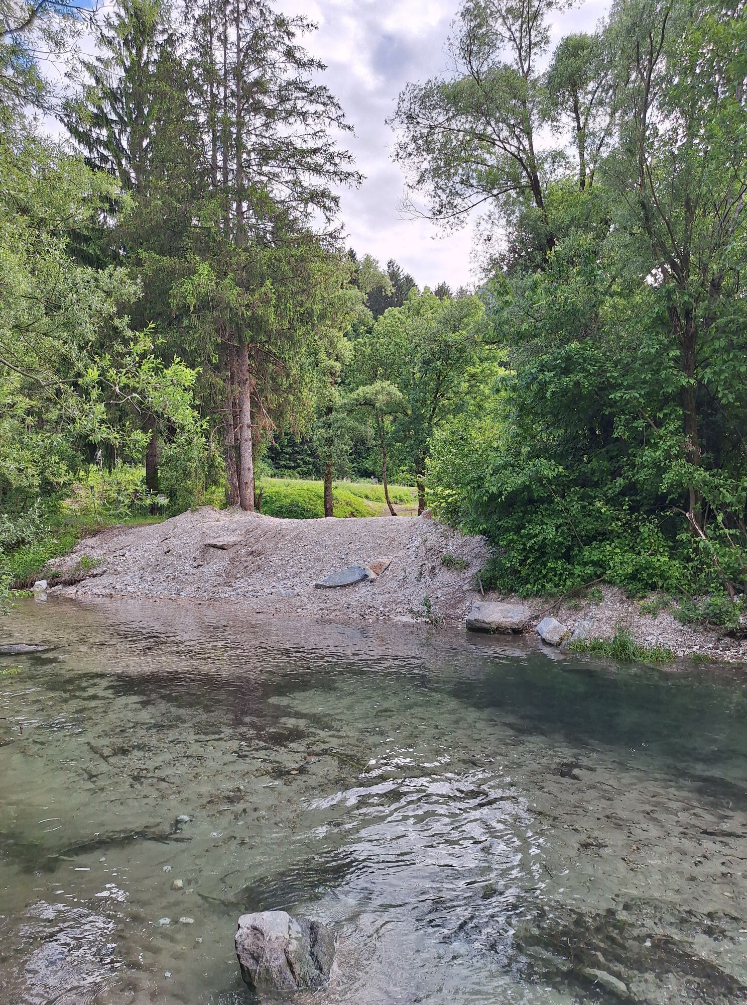
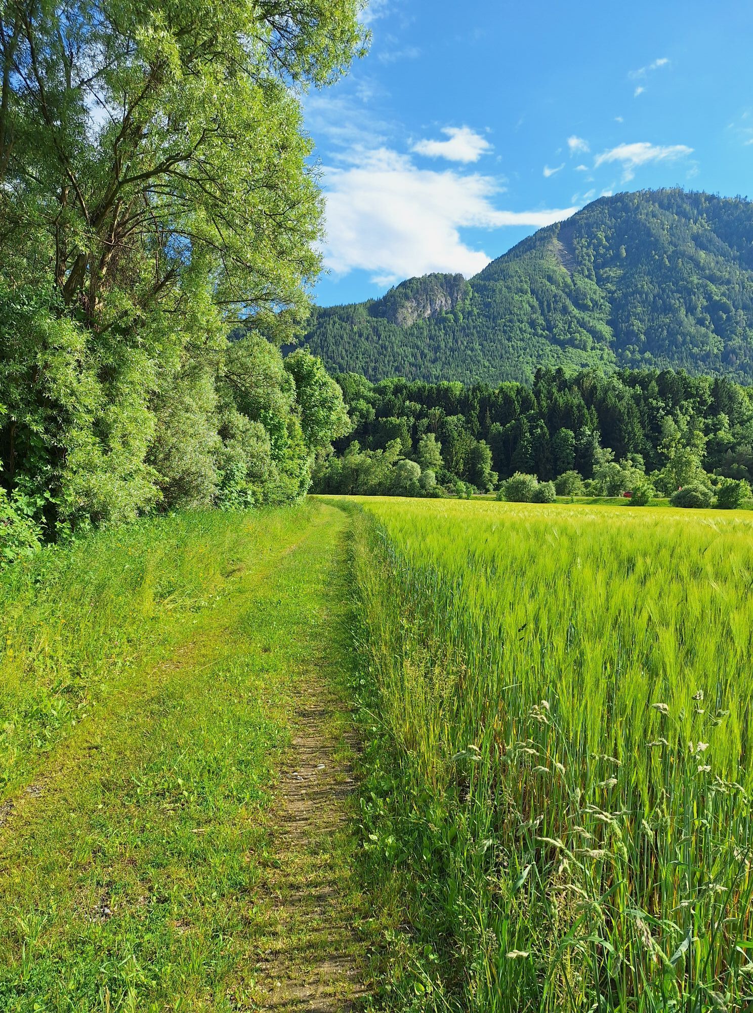
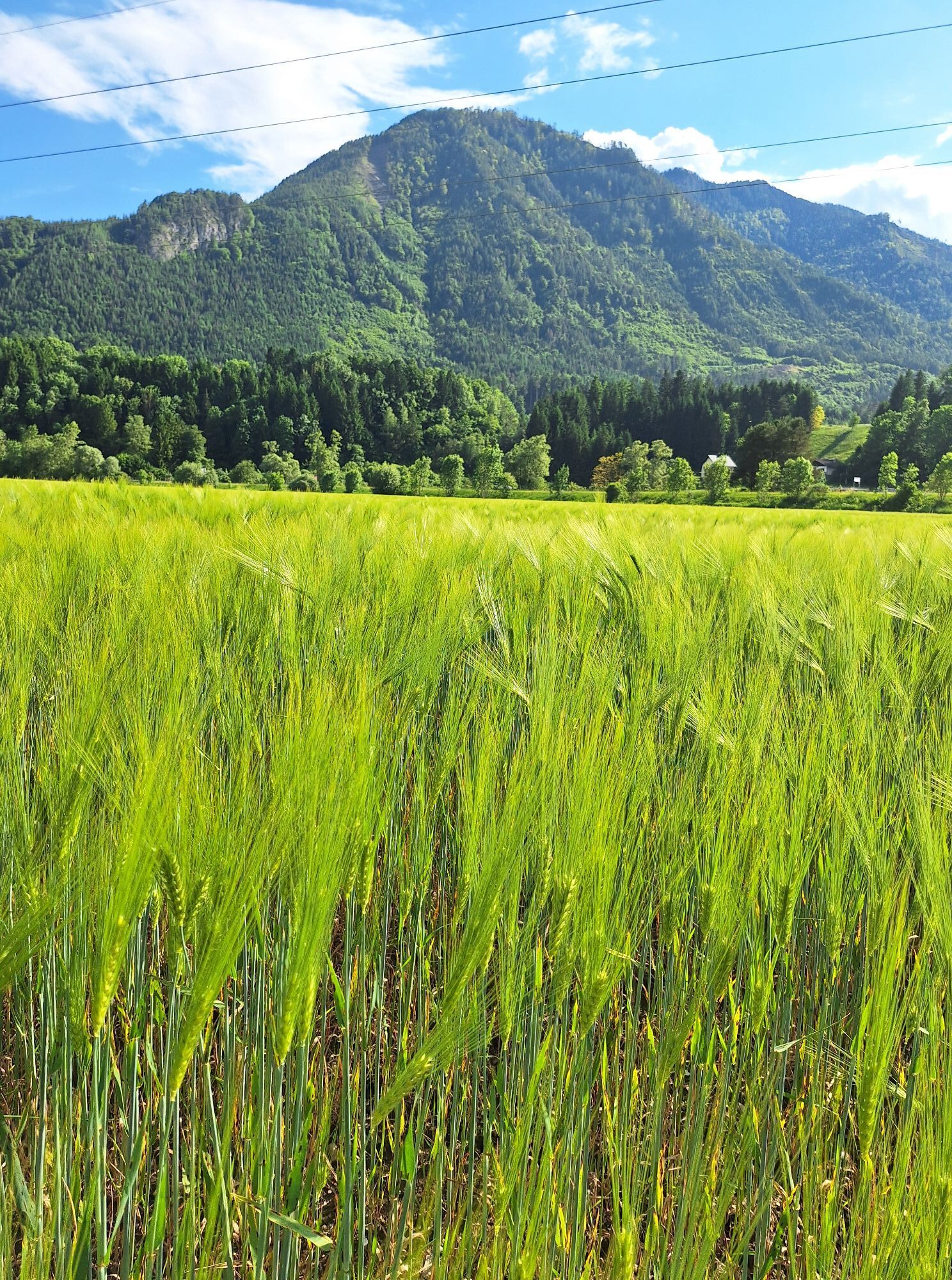
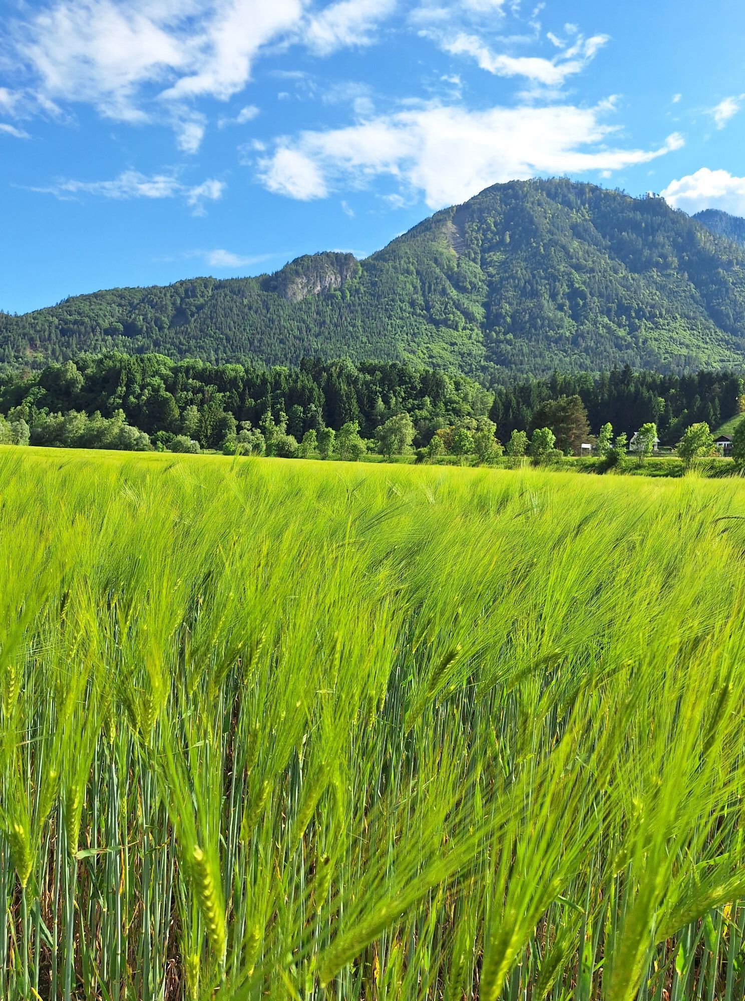
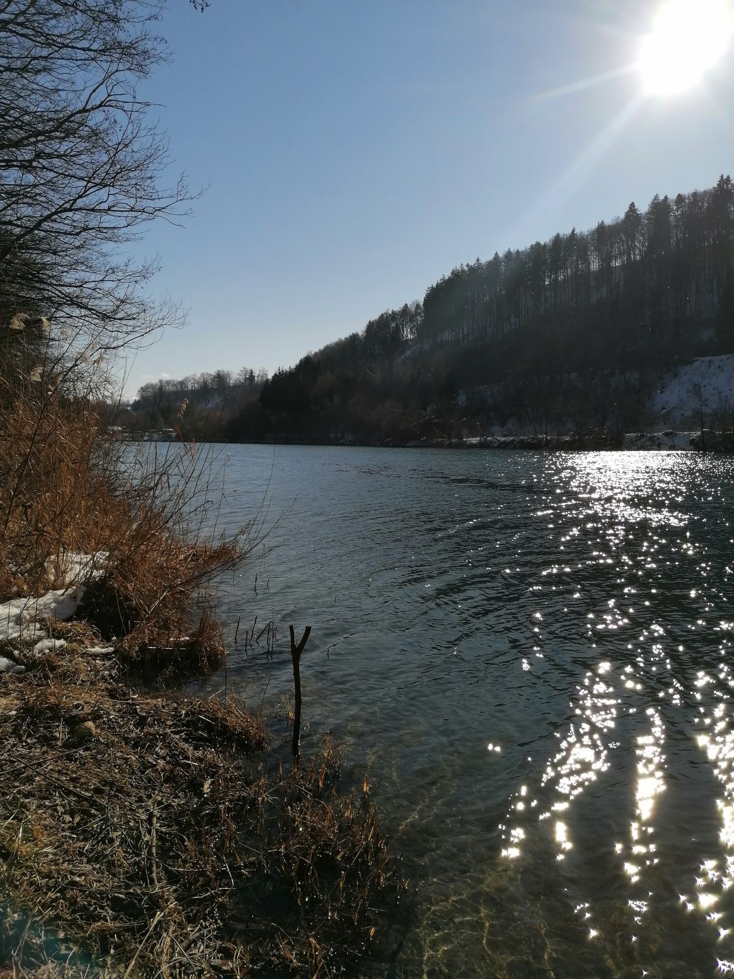
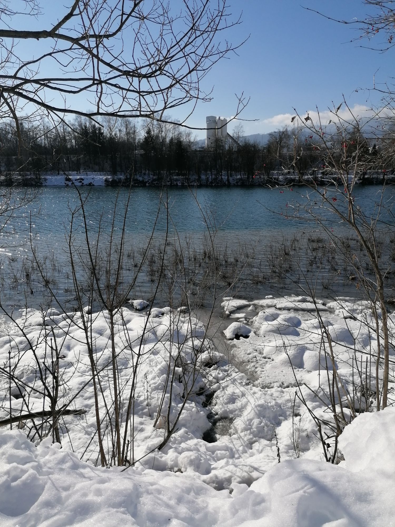
Starting from Bad Bleiberg, cycle towards Villach through the village to the state road. Follow it downhill to Mittewald, where you turn left towards Weißenbach. From there, continue towards Puch. The cycle path bridge takes you across the Drau river into and through the village of Puch. From there, follow the state road to the next bridge, where you cross the Drau again. From here, follow the Drau Cycle Path R1 to the centre of Villach. Here you can leave your bike for free at the Radbutler and explore Villach's old town on foot.
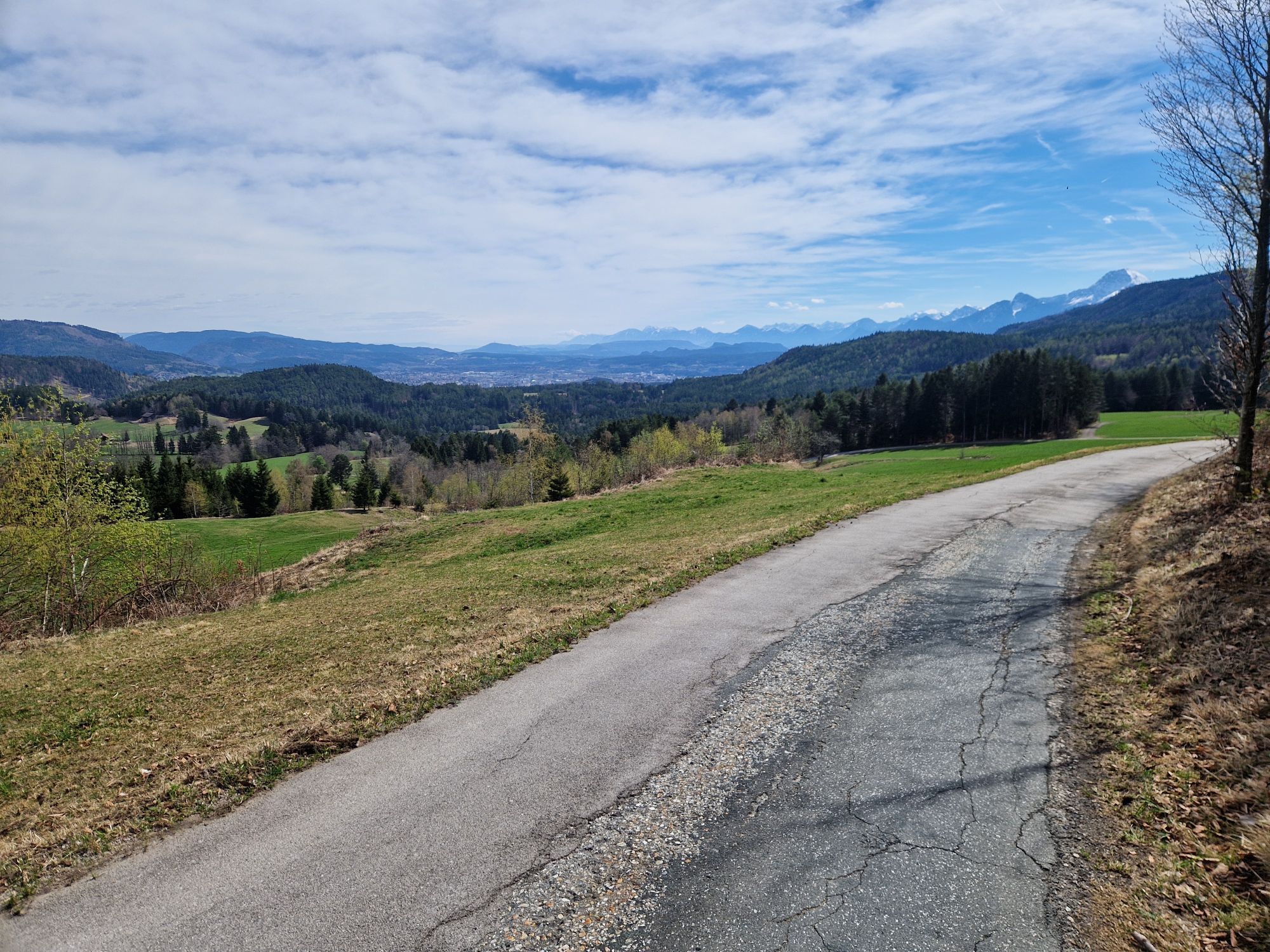
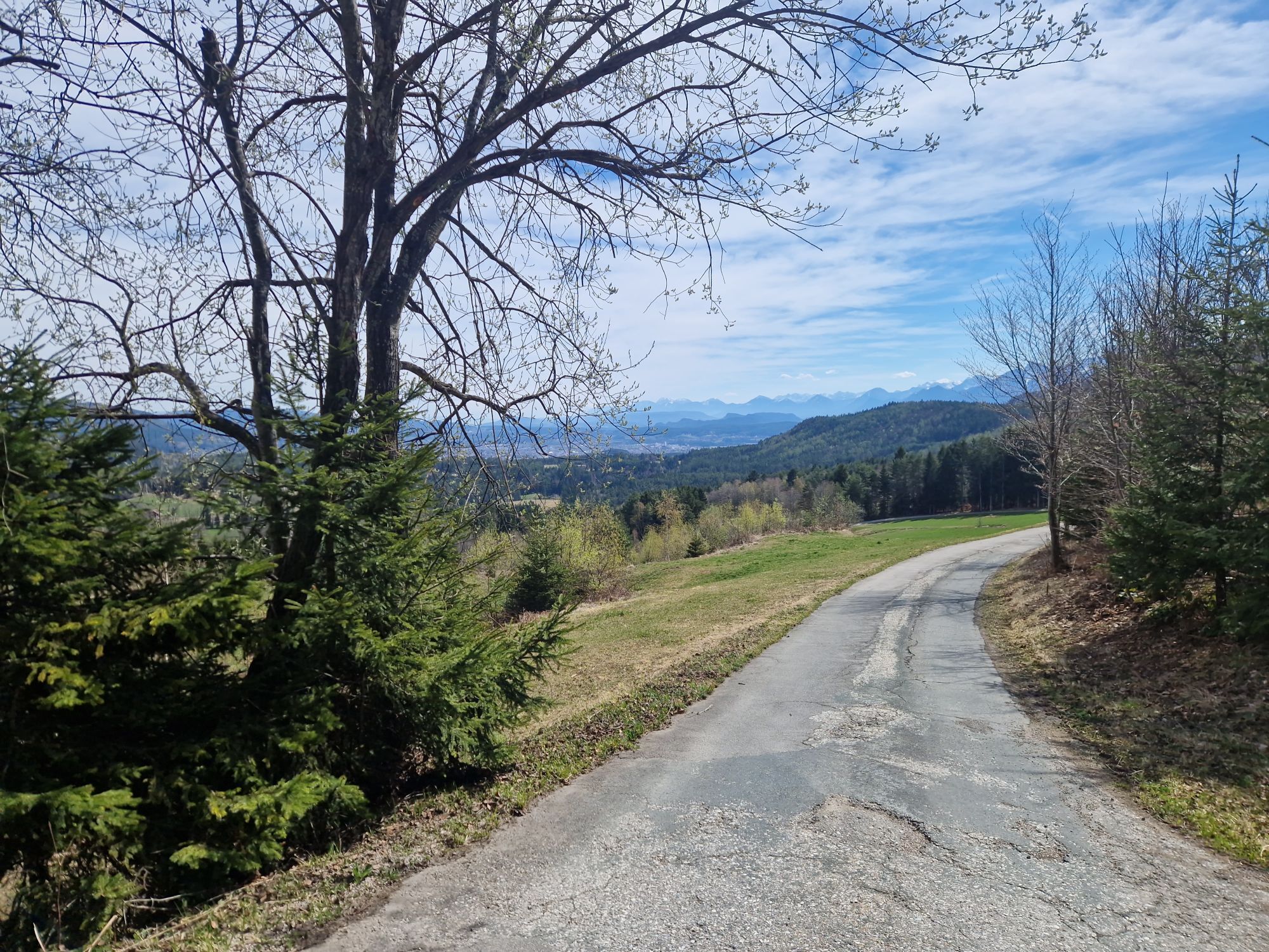
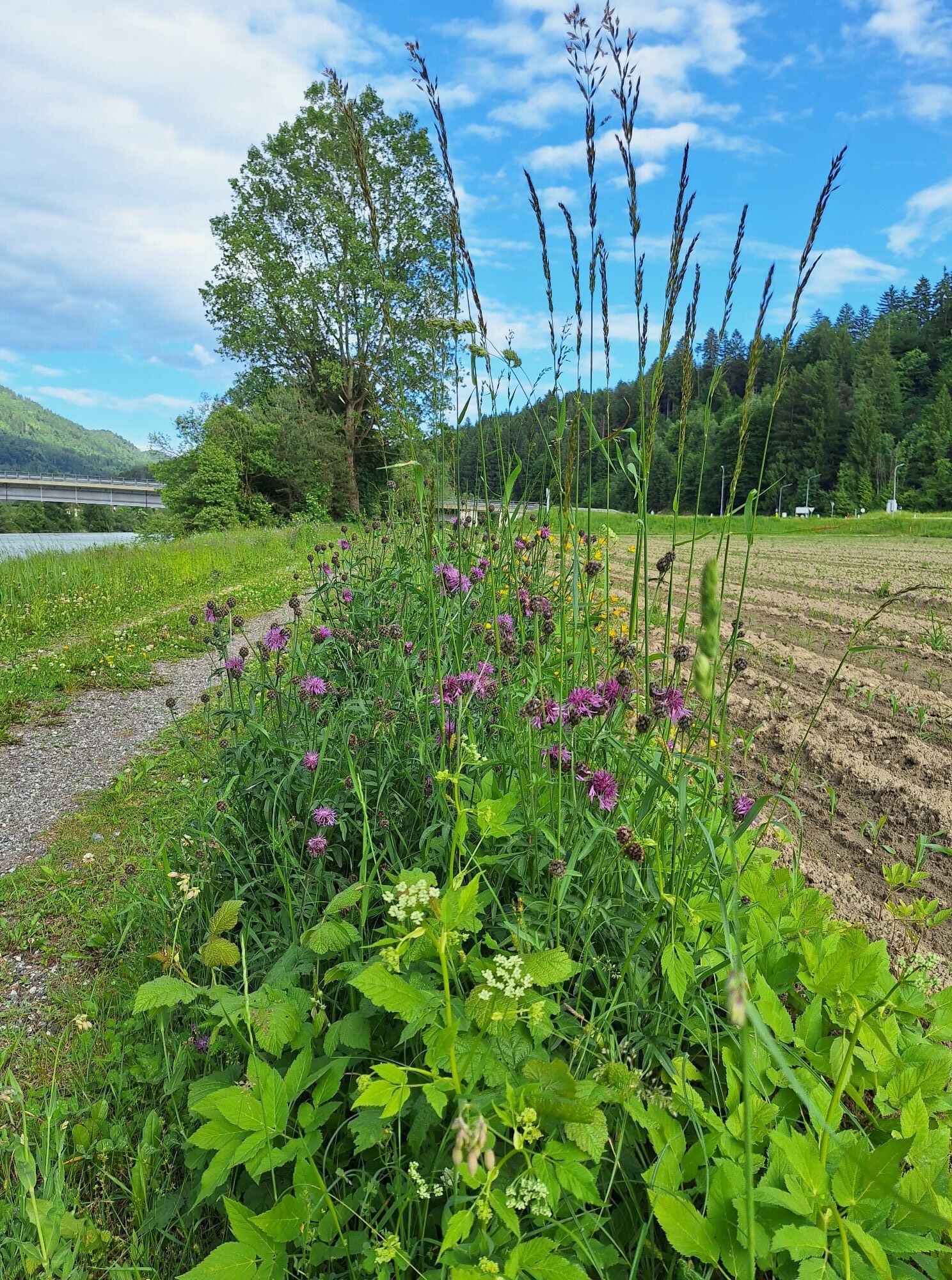
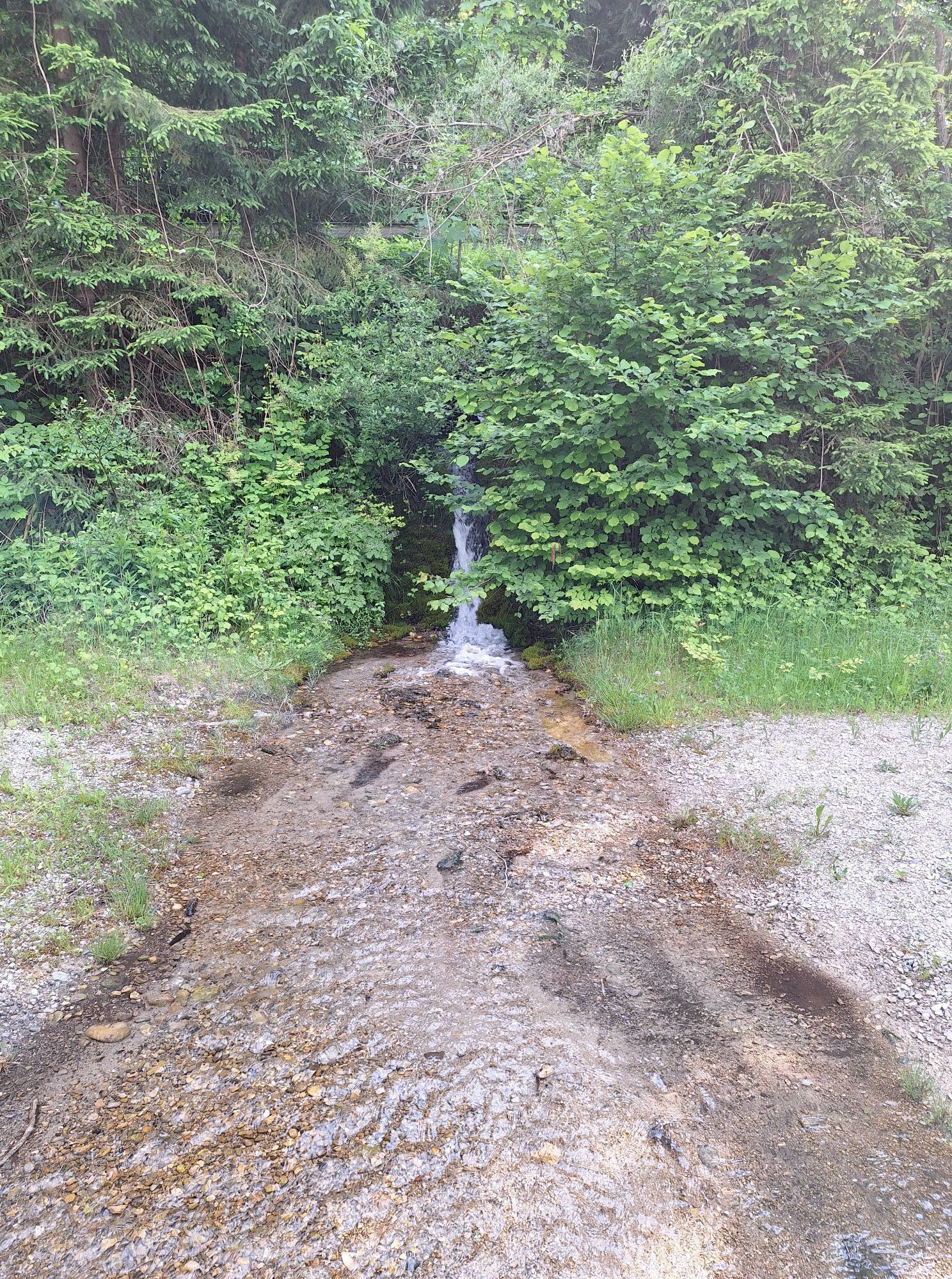
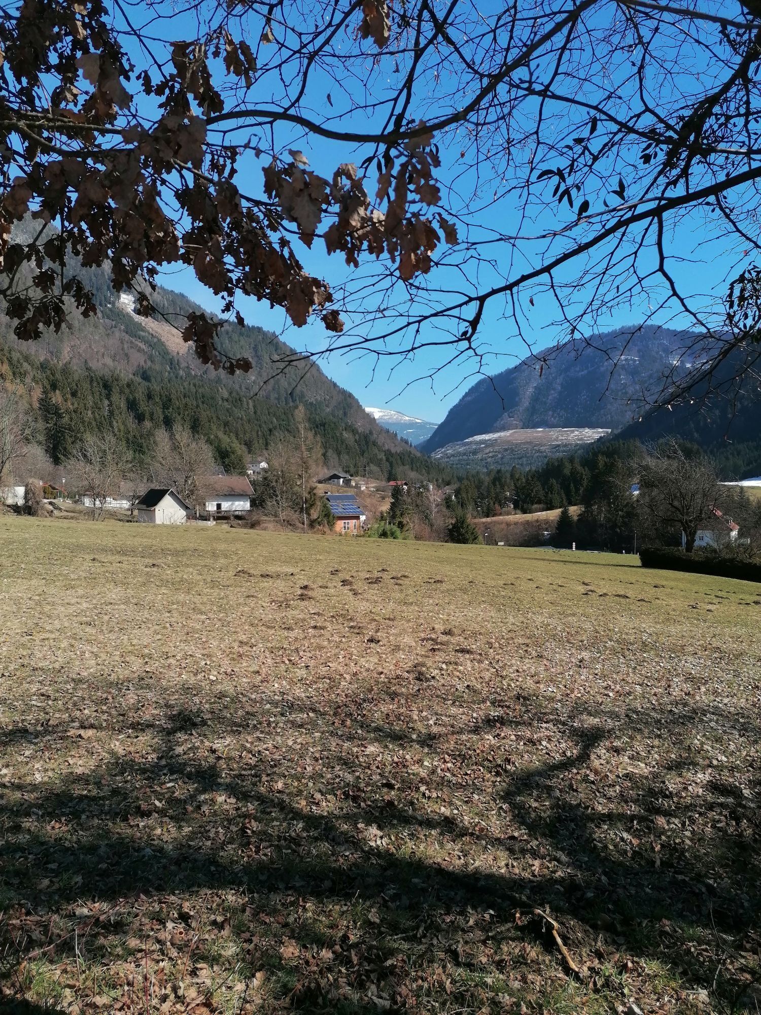
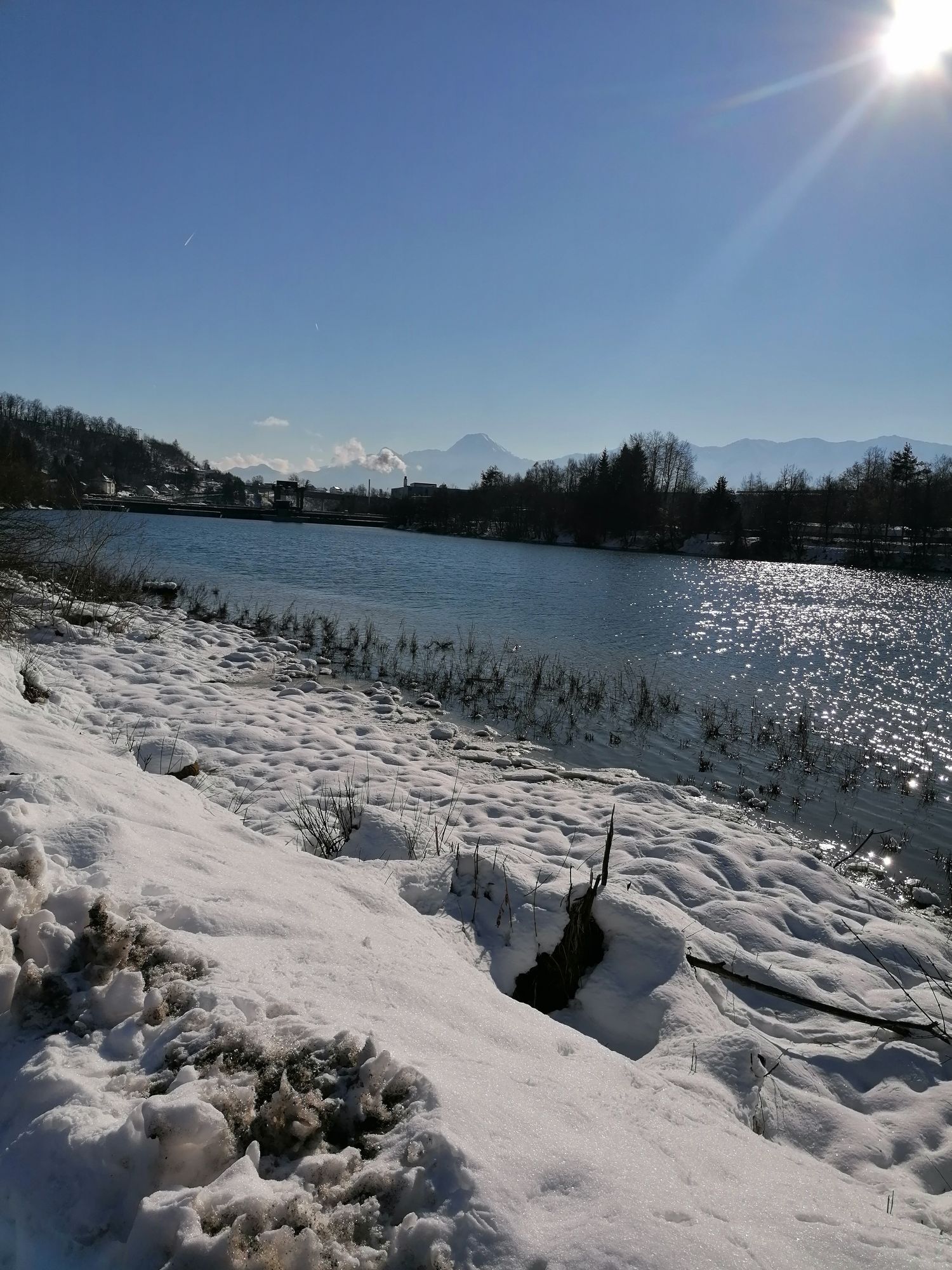
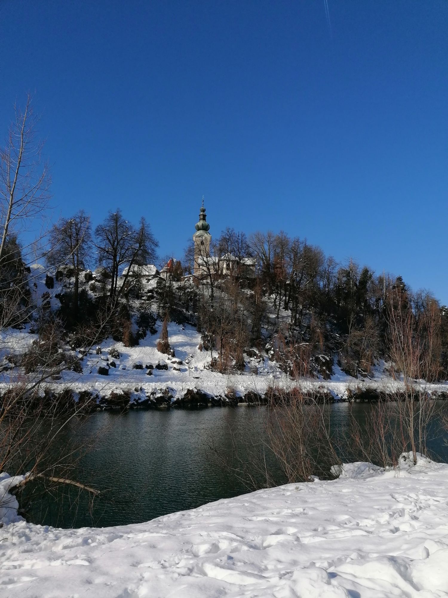
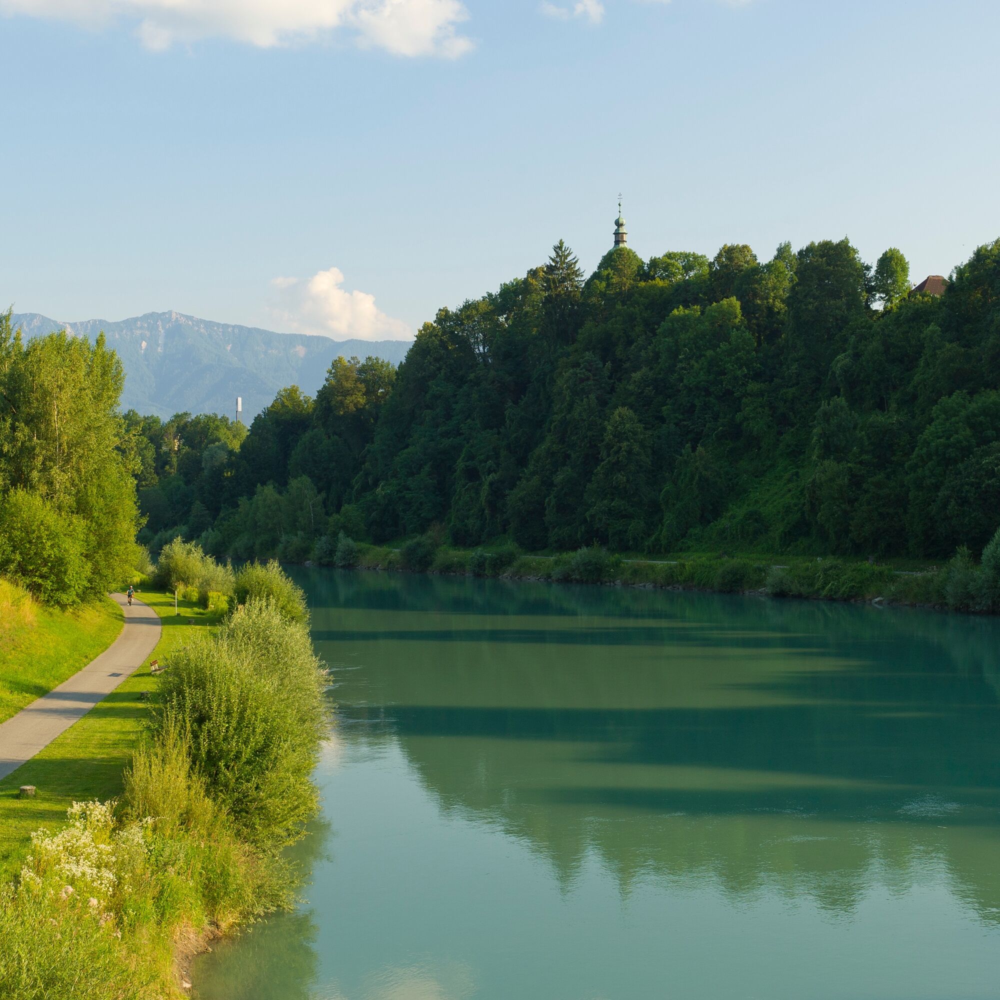
After your stay in the city of Villach, cycle back upstream along the Drau Cycle Path until you reach a bridge leading to the St. Martin district. There you can visit the church before continuing towards Pogöriach. From Pogöriach, follow a gravel and field path to Heiligengeist. From here, cycle back to Bad Bleiberg via the state road.
Upon prior registration, you can also use a bike shuttle from Villach back to Bad Bleiberg. More information at connect.visitvillach.at!
Tak
Helmet, water, mobile phone - for emergencies and photos.
Bad Bleiberg is regularly accessible by public transport
Region Villach Tourism
+43 4242 42000
www.visitvillach.at
Use the bike shuttle of the Villach region from Villach to Bad Bleiberg upon prior registration.
Popularne wycieczki w okolicy
-
4,5
Auf den Dobratsch mit der ganzen Familie
Wędrówka 8,40 km -
4,7
4 Huts route
średniWędrówka 8,96 km -
4,4
Finsterbach Waterfalls - Circular route
średniWędrówka 3,87 km -
4,5
Lake circular trail
światłoNordic Walking 9,85 km -
4,7
Gailtaler Alpen: Wanderung auf der Dobratsch
średniWędrówka 8,50 km -
5,0
Amberg: Palnock 1901m, Schwarzsee, Rundstrecke
średniWędrówka 7,94 km -
4,0
Schwarzsee circular hiking trail
średniWędrówka 7,79 km -
4,5
Wasserfälle
średniWędrówka 2,48 km -
4,6
Mallestiger Mittagskogel
średniWędrówka 11,6 km -
4,0
Gerlitzen - Hüttersteig
ciężkiWędrówka 6,80 km
Wędrówki i tropienie


Nie przegap ofert i inspiracji na następne wakacje
Twój adres e-mail została dodana do listy mailingowej.