






Bike bus route from Spittal an der Drau to Lake Faak
Poziom trudności: 1
Zdjęcia naszych użytkowników
 © Simon RohnerUtworzono dnia 07.05.2026
 © barbara malleUtworzono dnia 03.05.2026
 © MangoleinUtworzono dnia 02.05.2026
 © MangoleinUtworzono dnia 02.05.2026
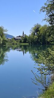 © MangoleinUtworzono dnia 02.05.2026
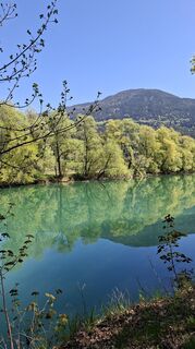 © MangoleinUtworzono dnia 25.04.2026
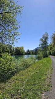 © MangoleinUtworzono dnia 25.04.2026
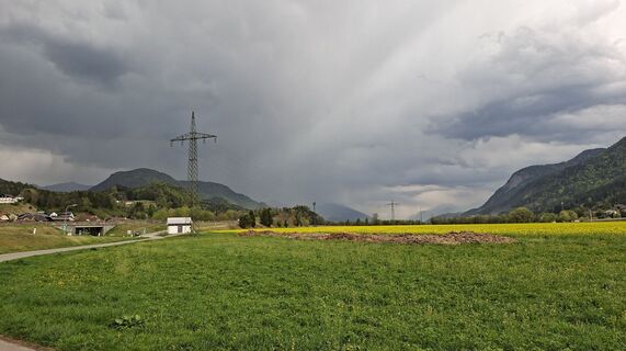 © MangoleinUtworzono dnia 19.04.2026
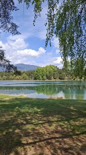 © MangoleinUtworzono dnia 18.04.2026
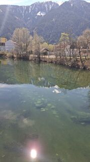 © MangoleinUtworzono dnia 05.04.2026
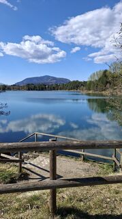 © MangoleinUtworzono dnia 03.04.2026
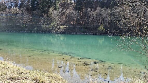 © MangoleinUtworzono dnia 03.04.2026
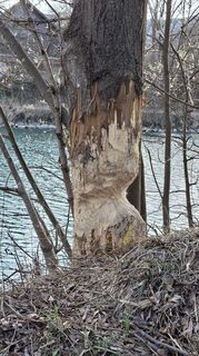 © MangoleinUtworzono dnia 28.03.2026
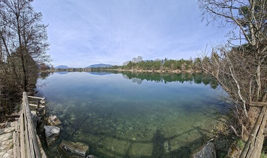 © MangoleinUtworzono dnia 25.03.2026
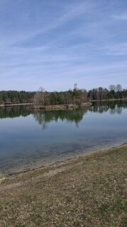 © MangoleinUtworzono dnia 25.03.2026
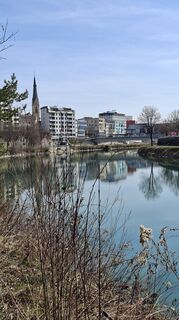 © MangoleinUtworzono dnia 25.03.2026
 © MangoleinUtworzono dnia 25.03.2026
 © MangoleinUtworzono dnia 25.03.2026
 © MangoleinUtworzono dnia 17.03.2026
 © MangoleinUtworzono dnia 17.03.2026
 © Claudia KanalzUtworzono dnia 12.11.2025
 © Renate DreierUtworzono dnia 15.07.2025
 © Alois-Gerhard MairitschUtworzono dnia 10.06.2025
 © Dagmar HoferUtworzono dnia 31.05.2025
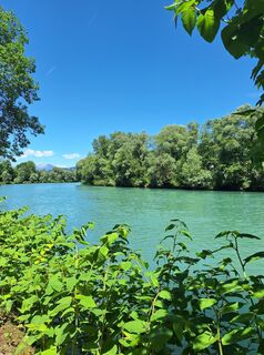 © Dagmar HoferUtworzono dnia 31.05.2025
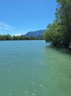 © Dagmar HoferUtworzono dnia 31.05.2025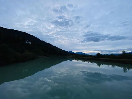
 © Bjoern KleindoppUtworzono dnia 01.10.2024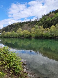
 © Franz Bauer 9Utworzono dnia 30.04.2023
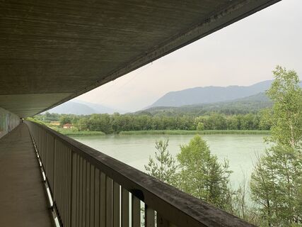 © Klaus RothenwänderUtworzono dnia 21.06.2023
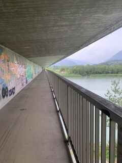 © Klaus RothenwänderUtworzono dnia 21.06.2023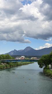
 © Don Alessandro Sohn der BergeUtworzono dnia 09.05.2026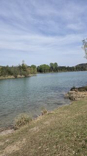
 © Martin LexaUtworzono dnia 11.04.2026
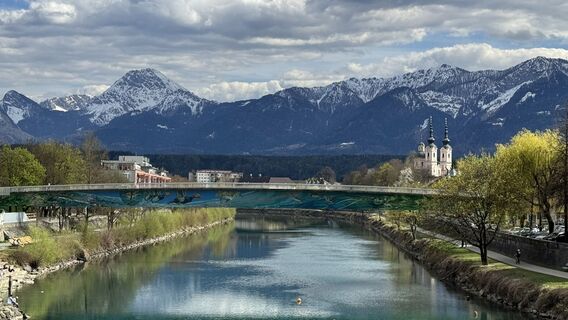 © Brigitta JencskiUtworzono dnia 06.04.2026
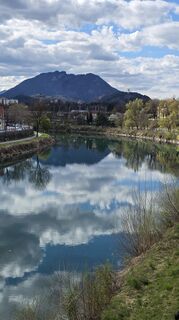 © Martin LexaUtworzono dnia 06.04.2026
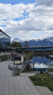 © Martin LexaUtworzono dnia 06.04.2026
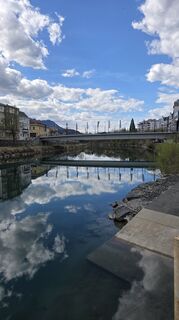 © Martin LexaUtworzono dnia 06.04.2026
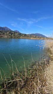 © Bernhard steinacherUtworzono dnia 05.04.2026
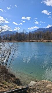 © MangoleinUtworzono dnia 17.02.2026
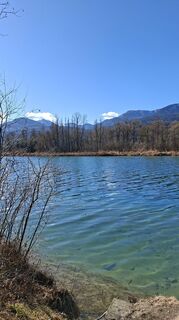 © MangoleinUtworzono dnia 15.02.2026
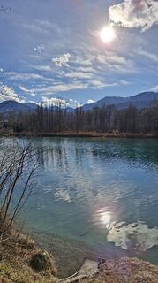 © MangoleinUtworzono dnia 13.02.2026
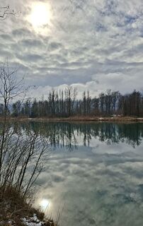 © MangoleinUtworzono dnia 06.02.2026
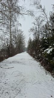 © MangoleinUtworzono dnia 05.02.2026
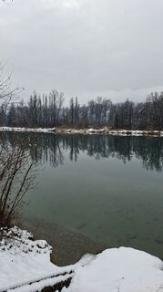 © MangoleinUtworzono dnia 05.02.2026
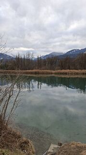 © MangoleinUtworzono dnia 02.02.2026
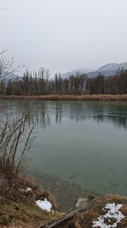 © MangoleinUtworzono dnia 28.01.2026
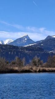 © MangoleinUtworzono dnia 27.01.2026
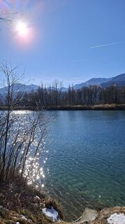 © MangoleinUtworzono dnia 27.01.2026
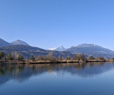 © MangoleinUtworzono dnia 20.01.2026
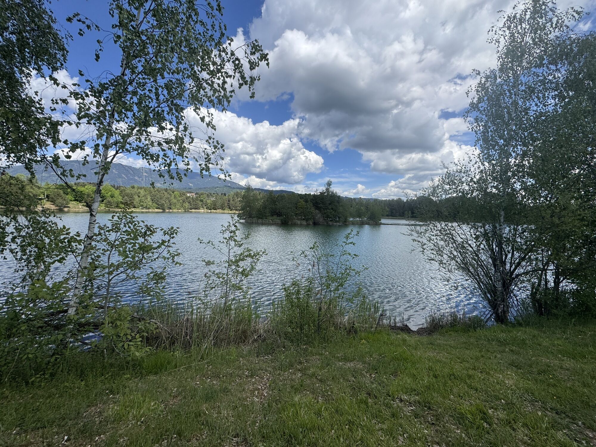
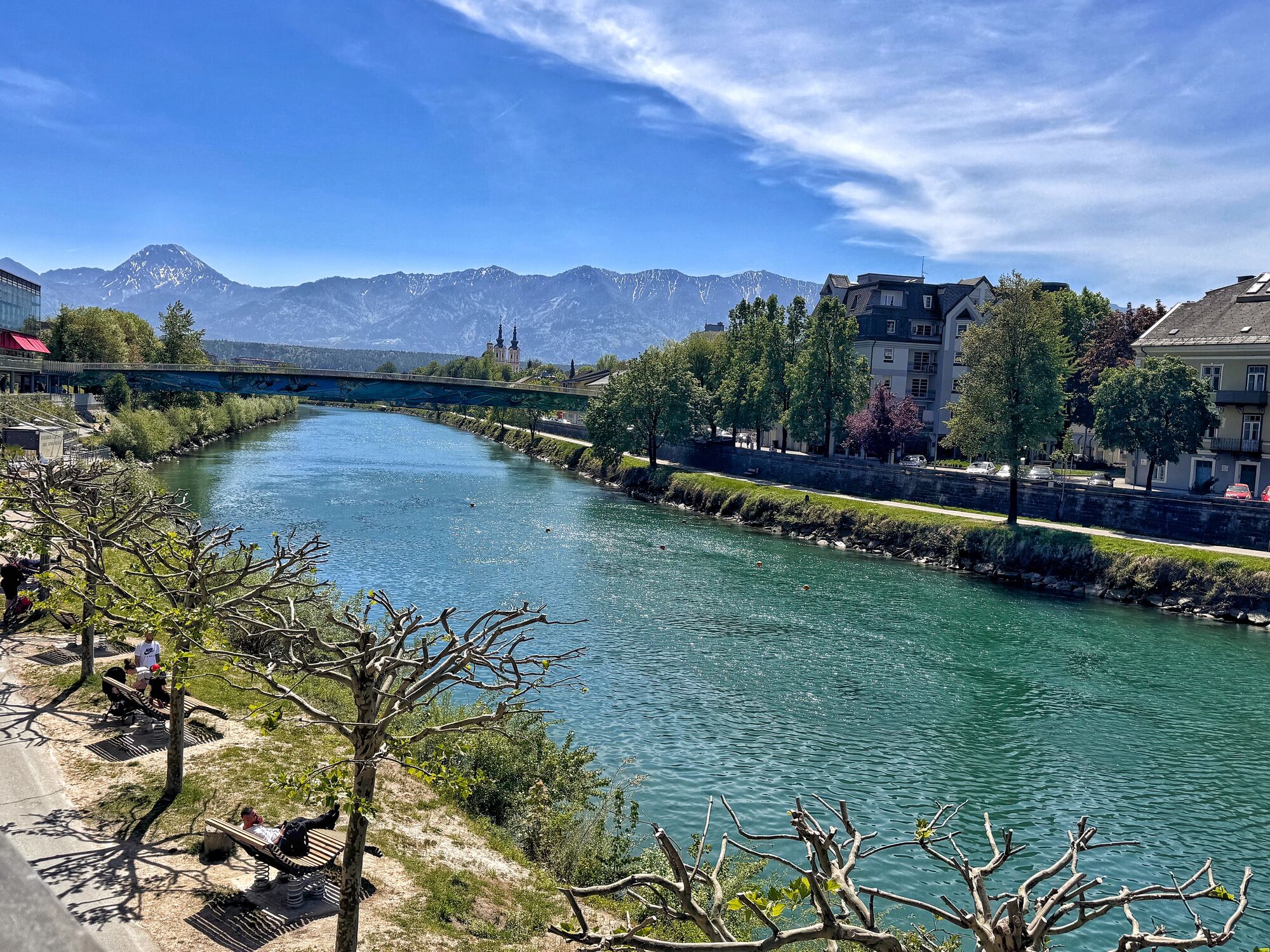
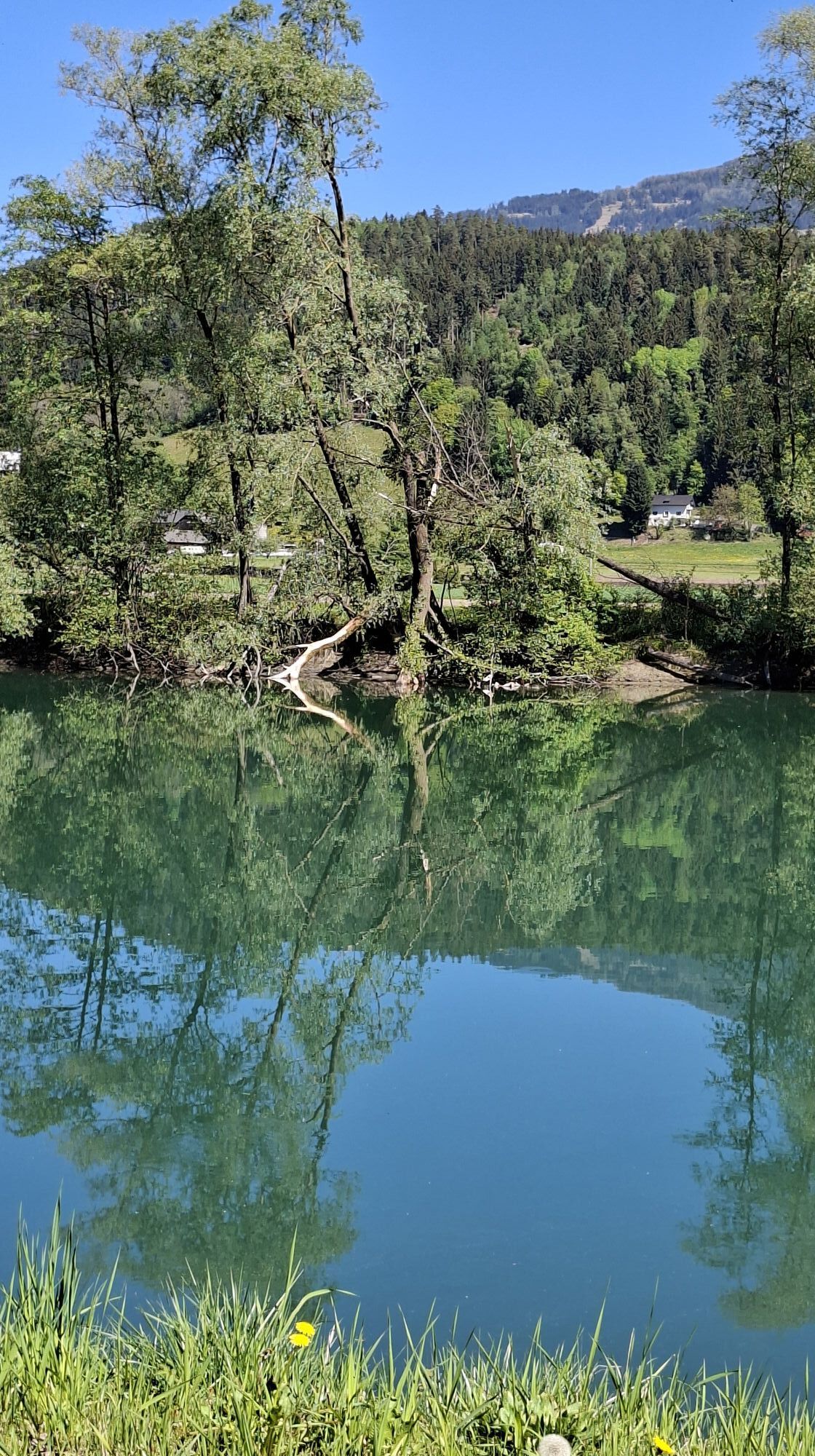
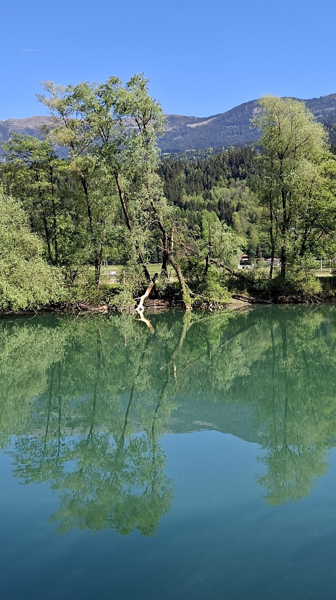
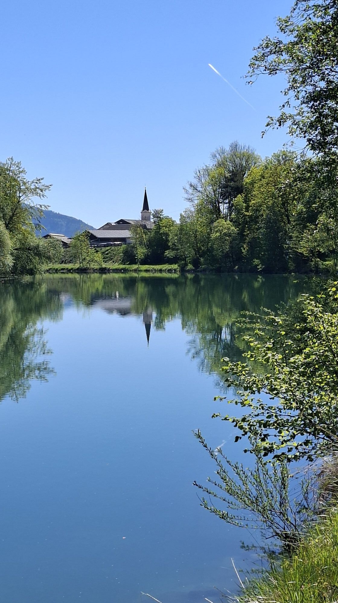
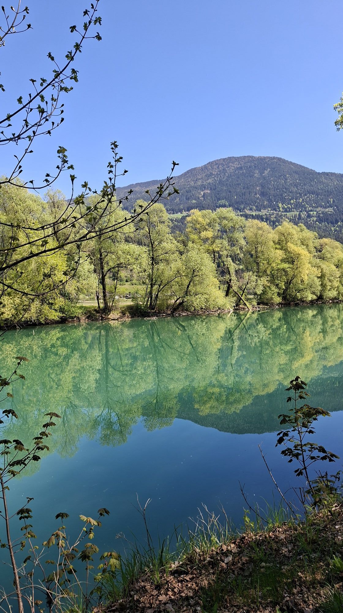
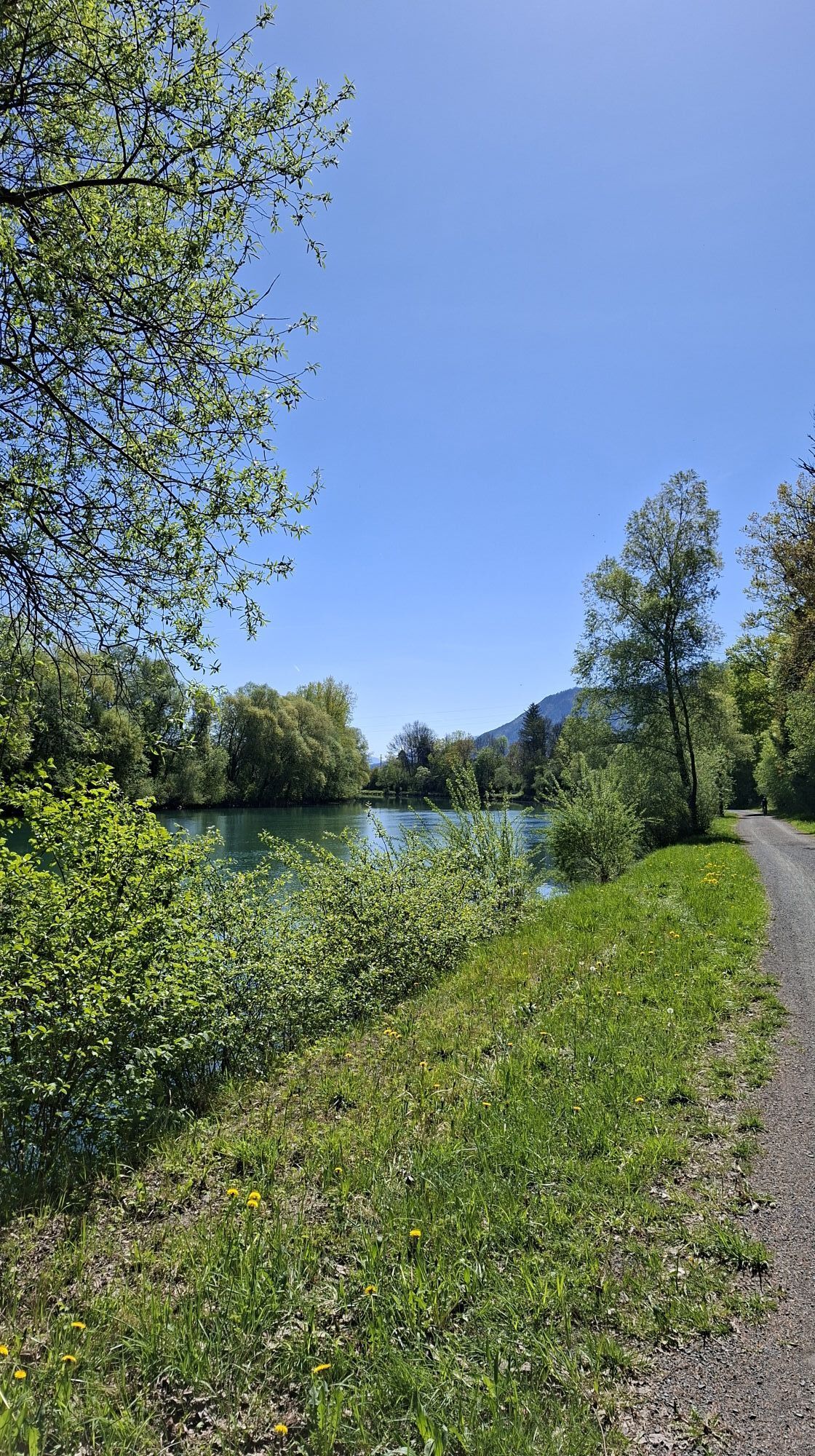
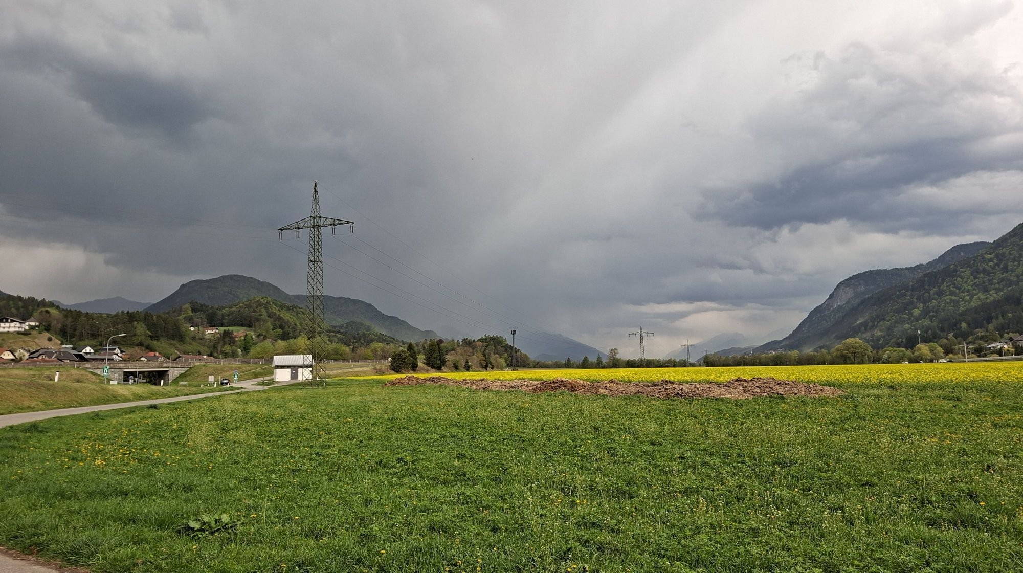
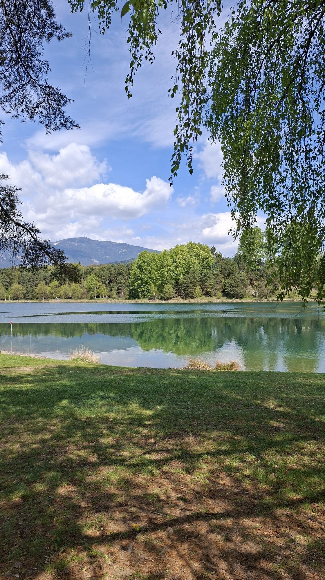
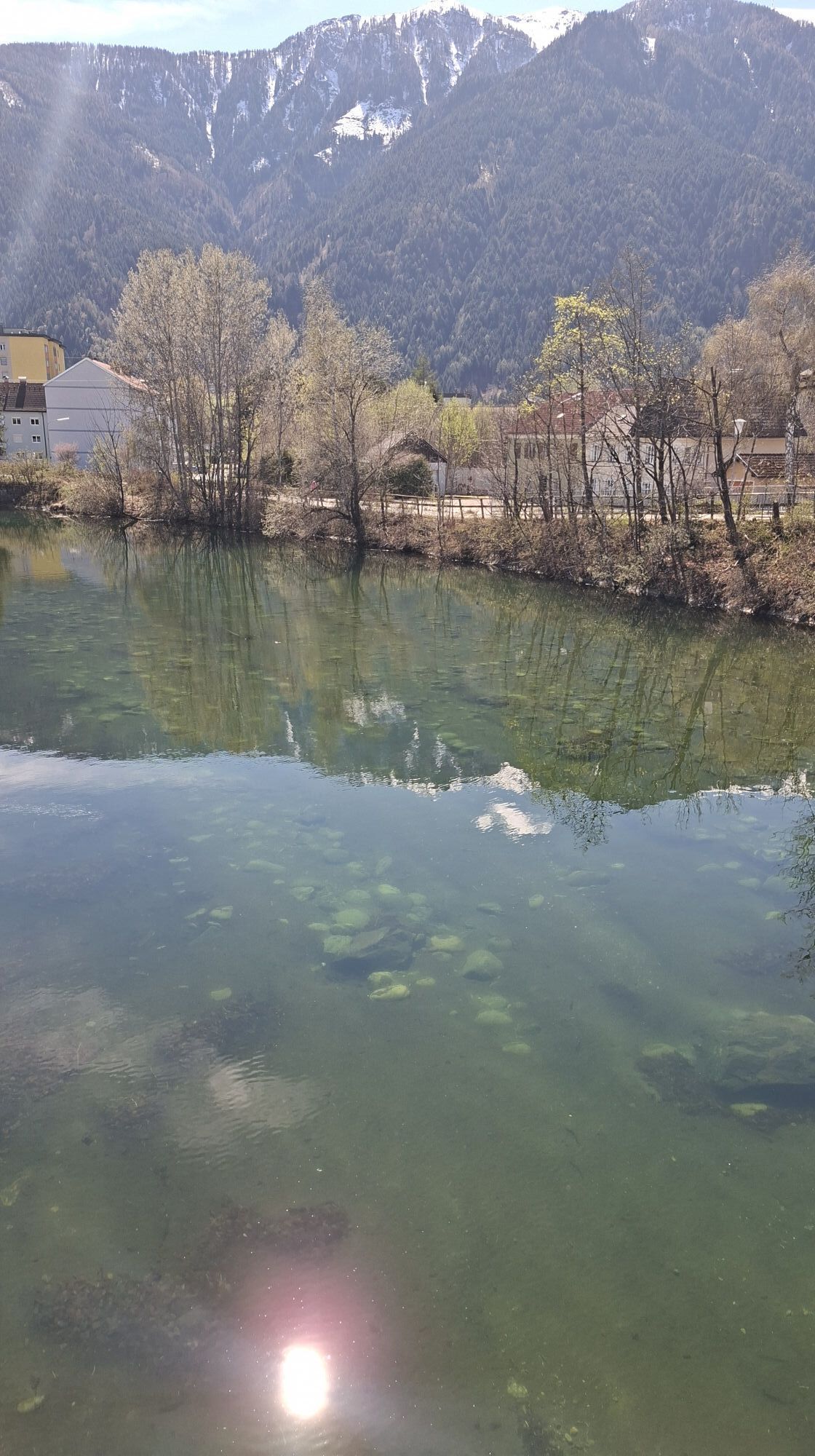
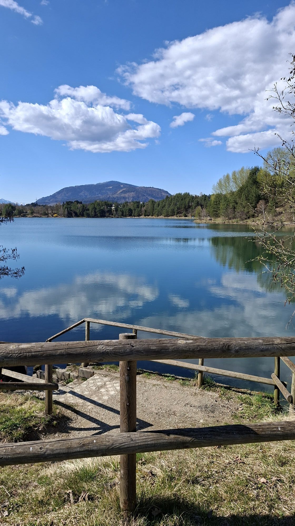
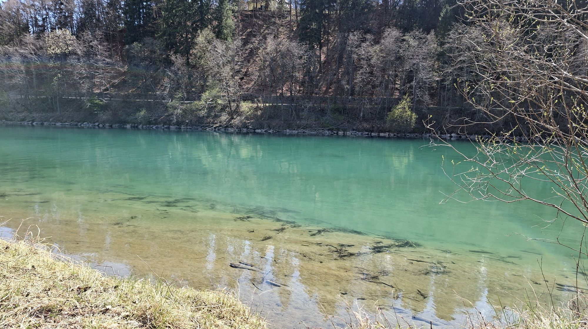
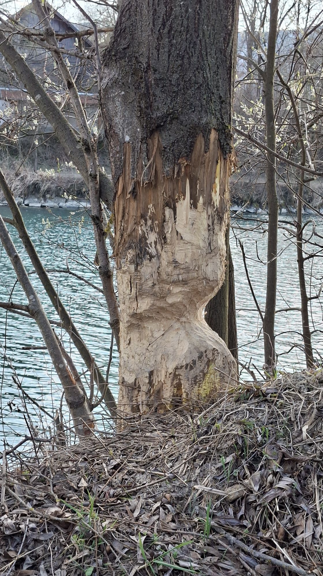
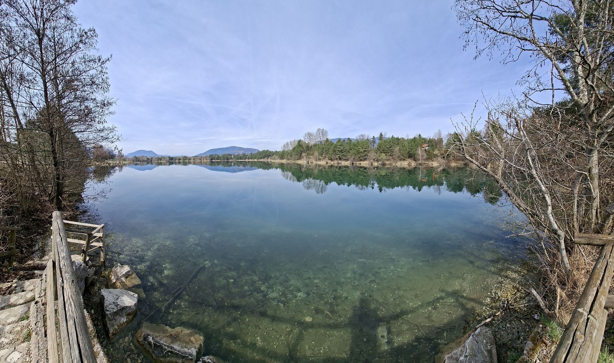
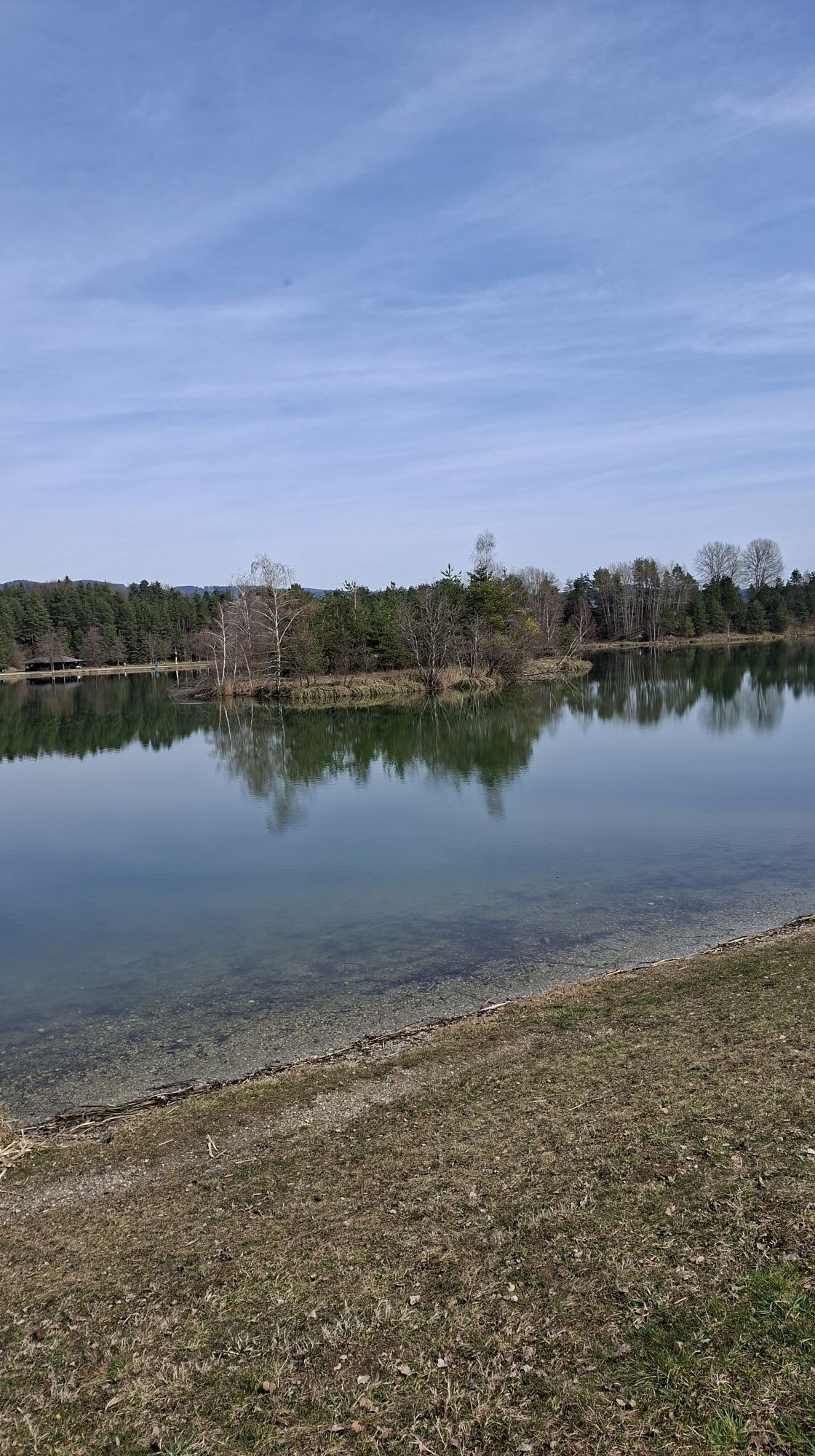
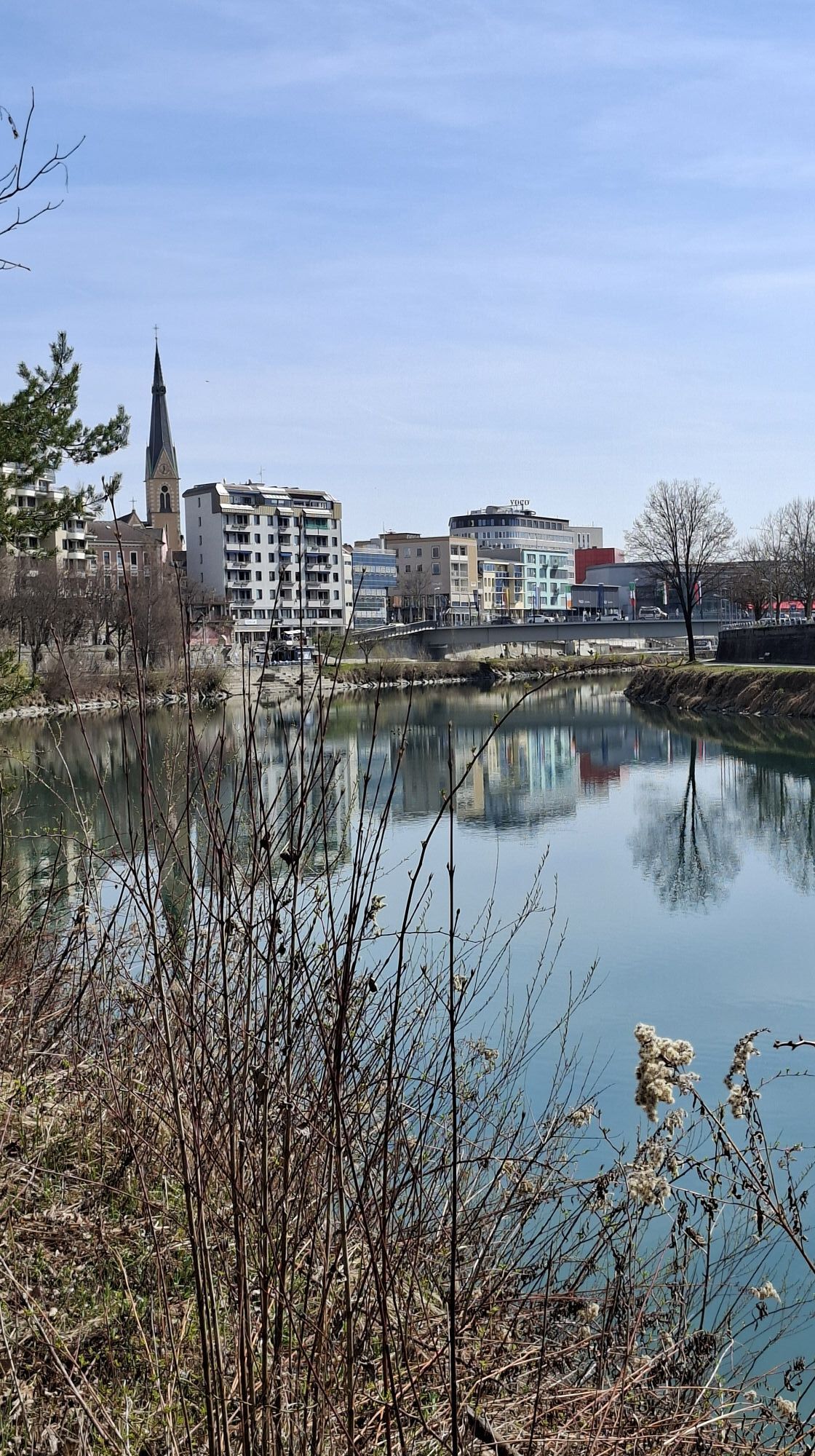
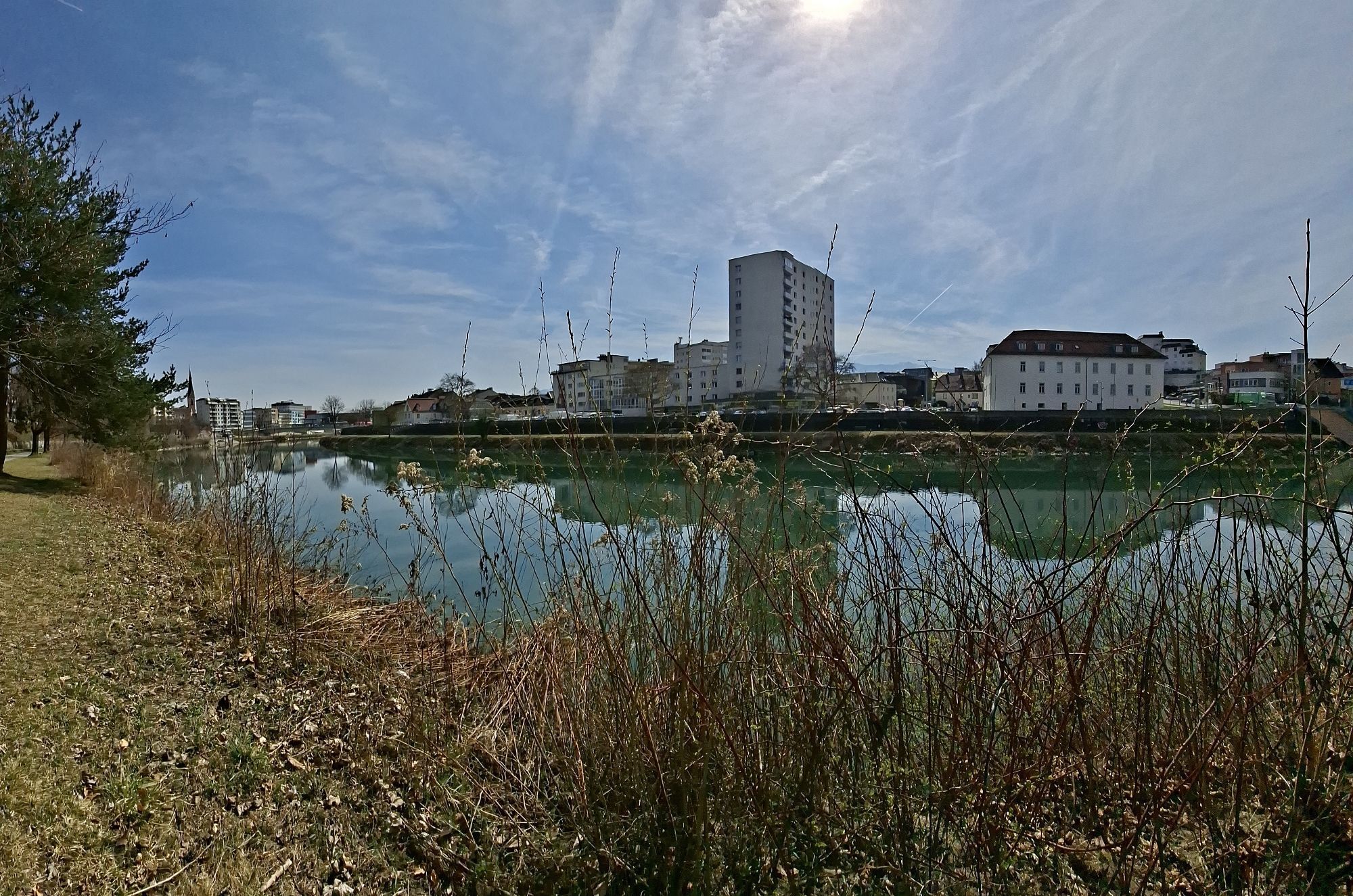
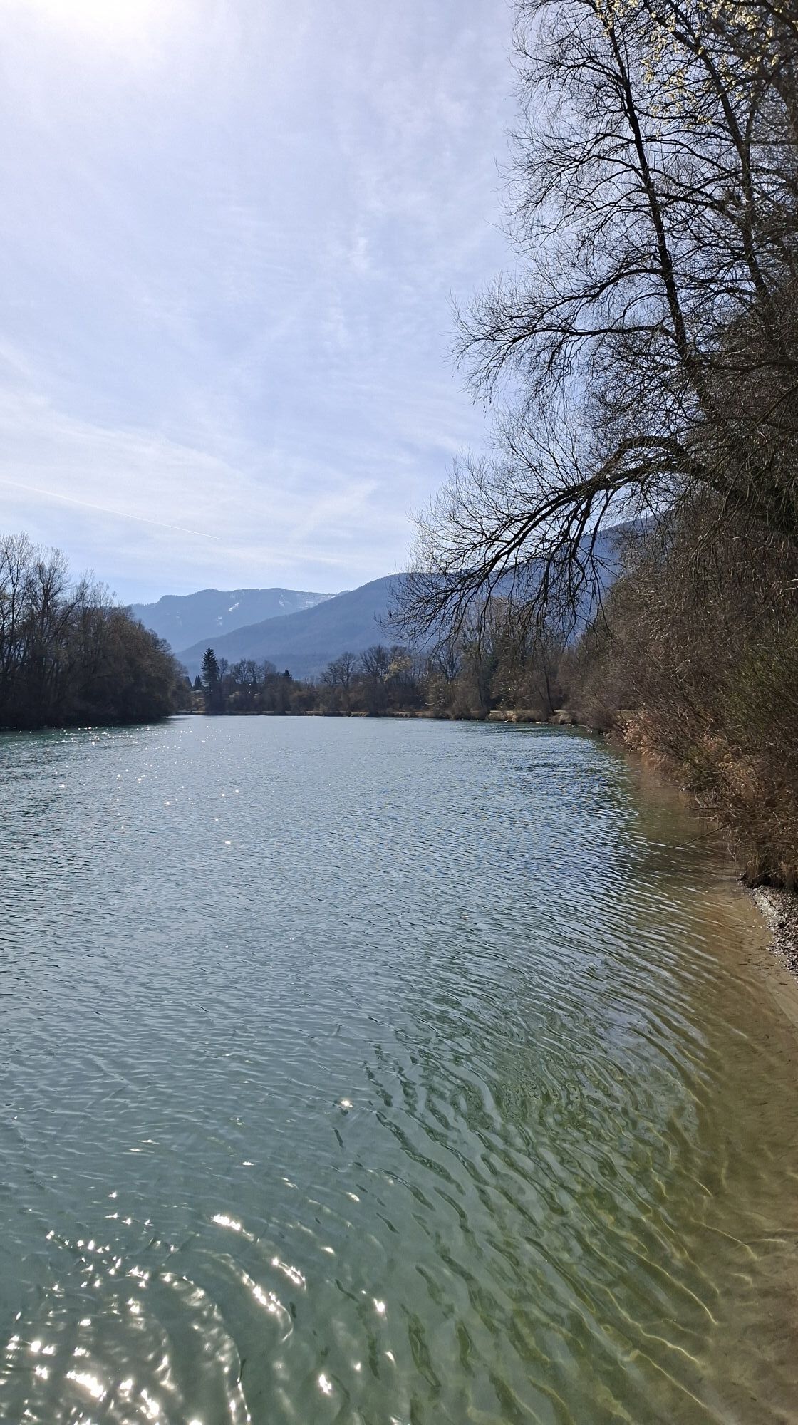
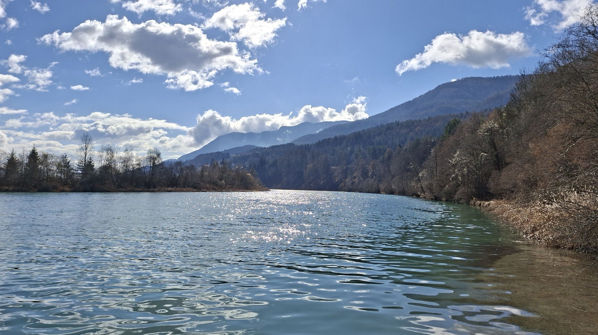
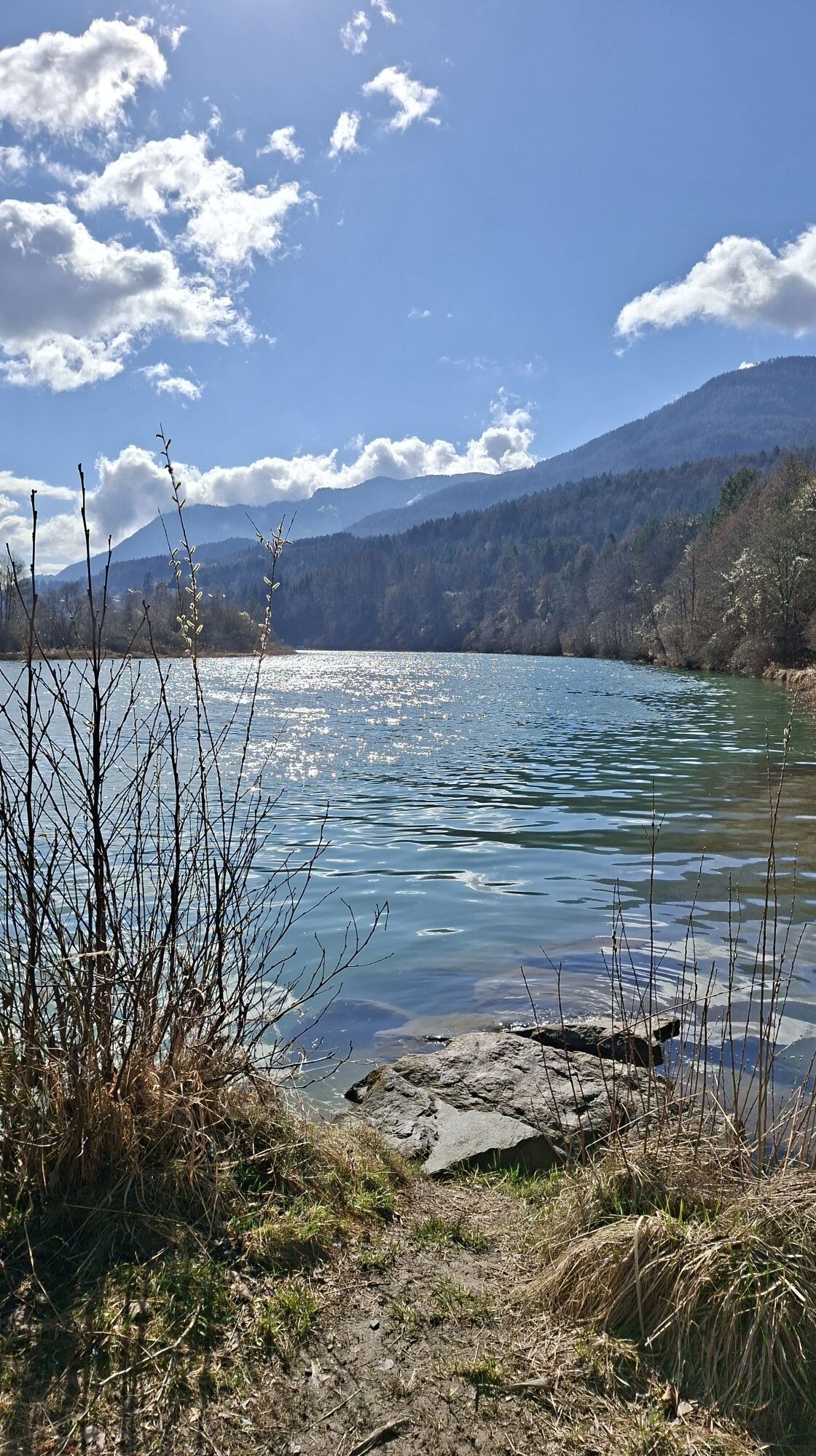
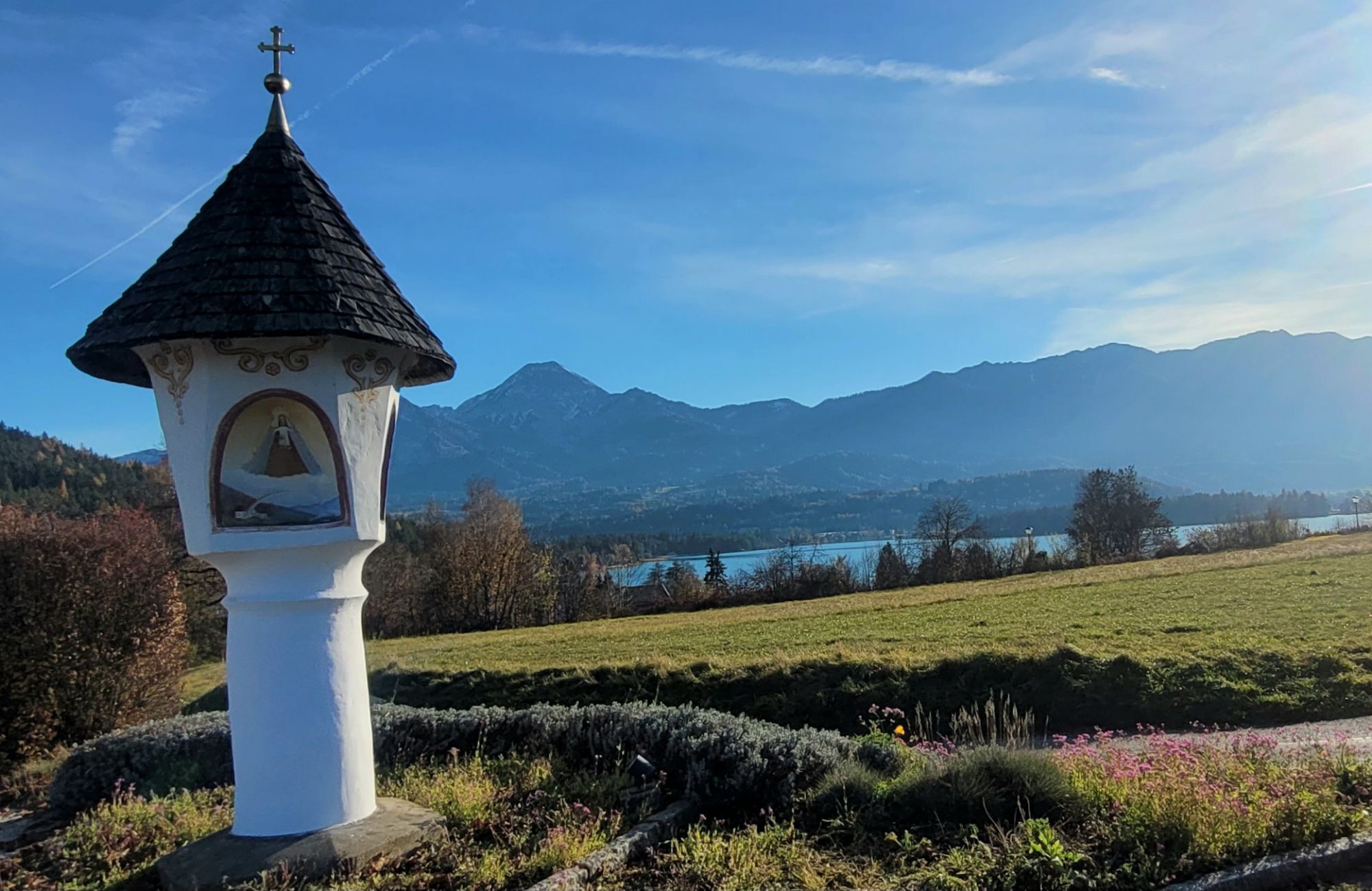
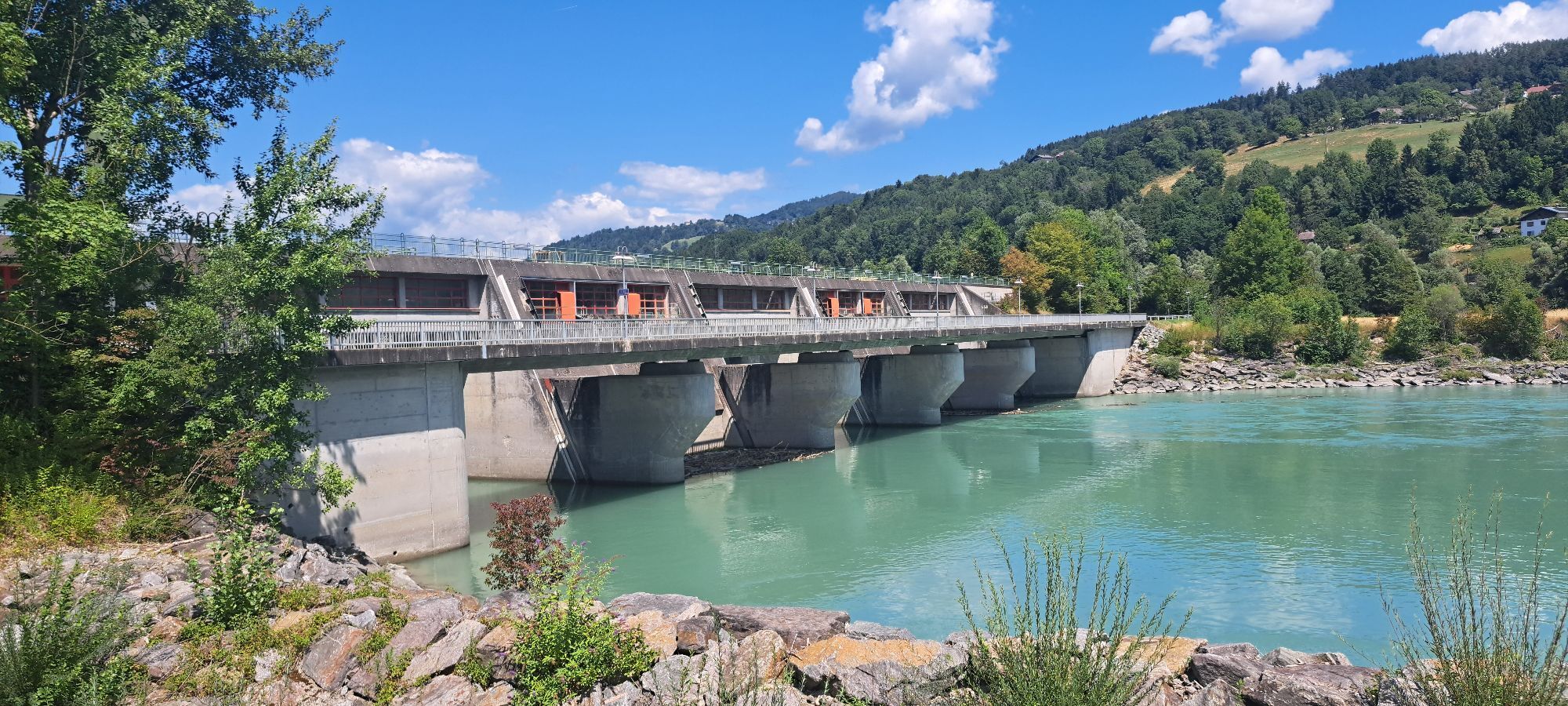
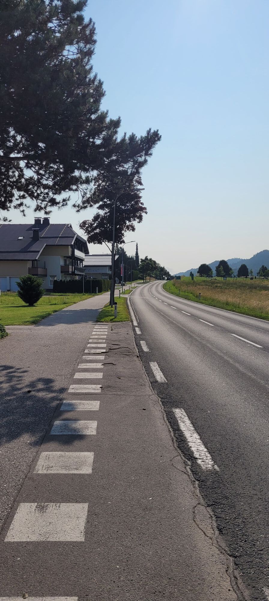
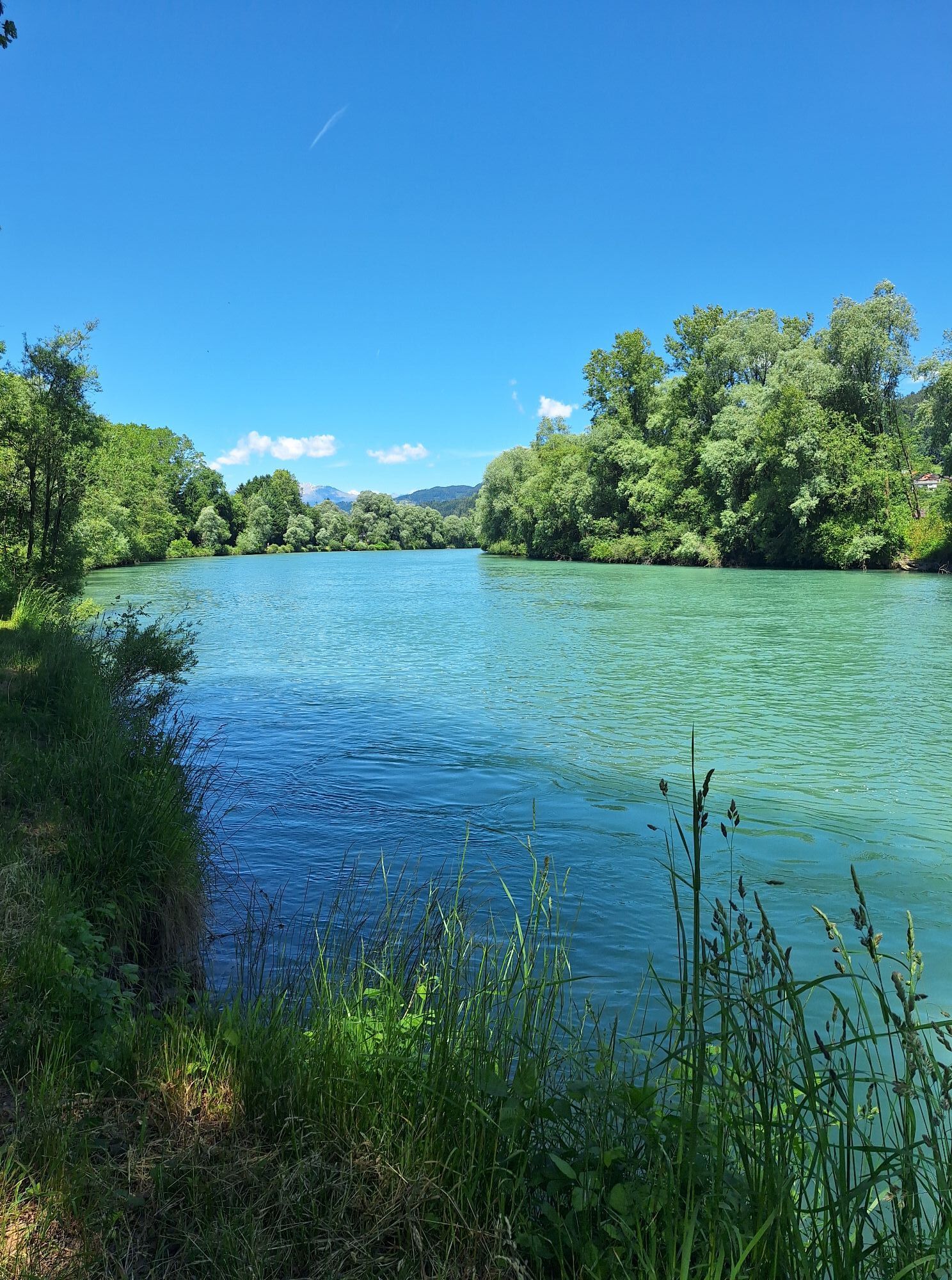
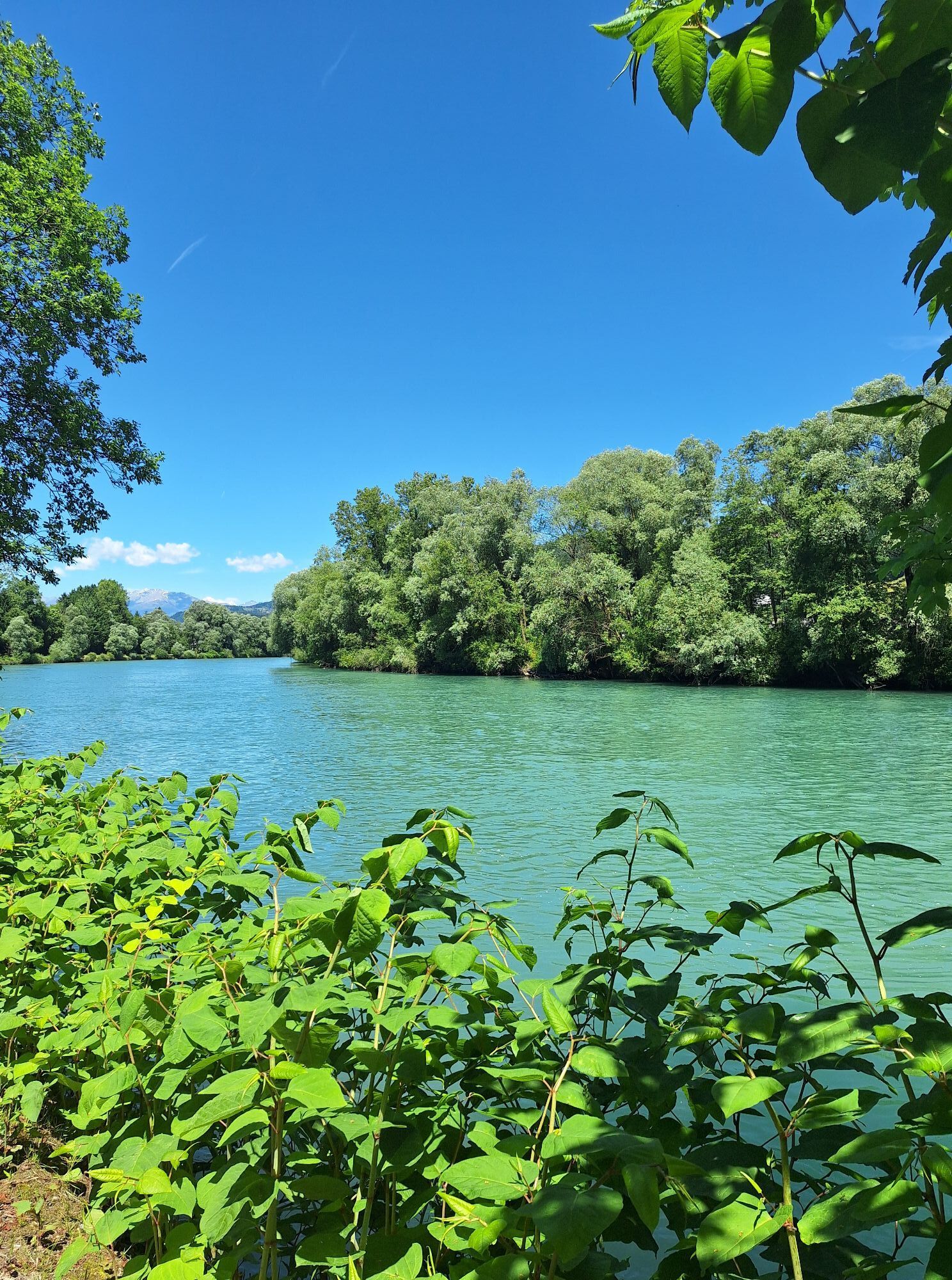
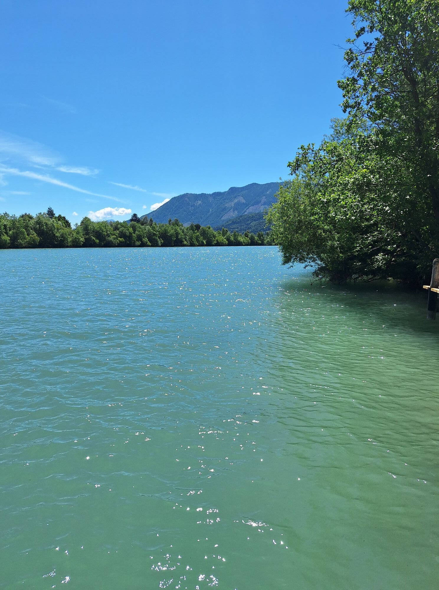
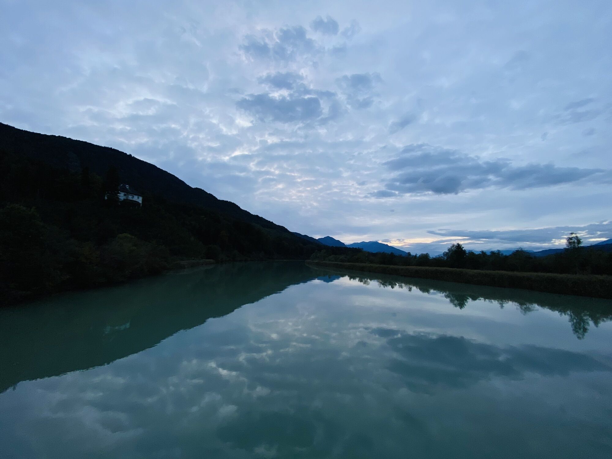
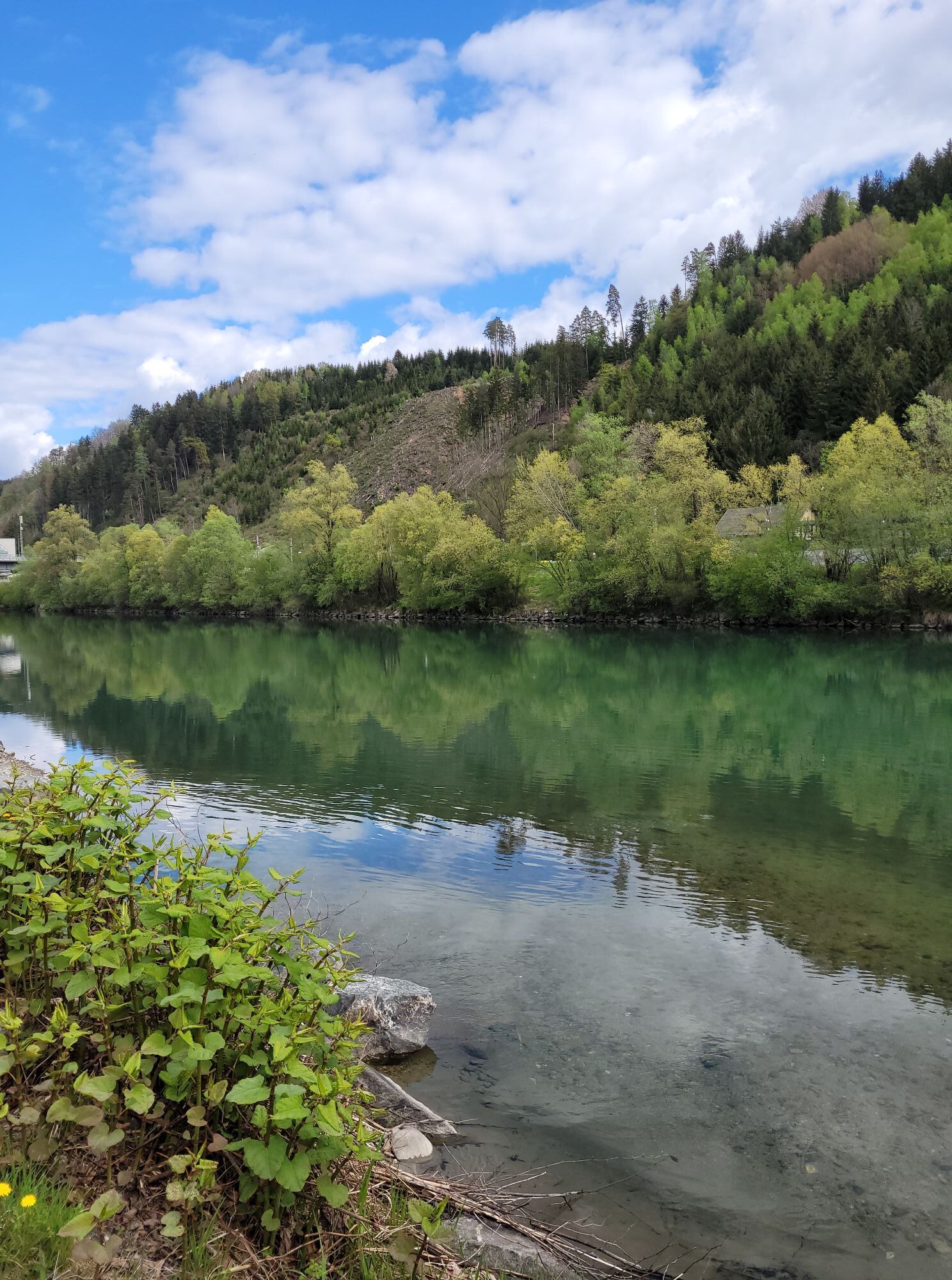
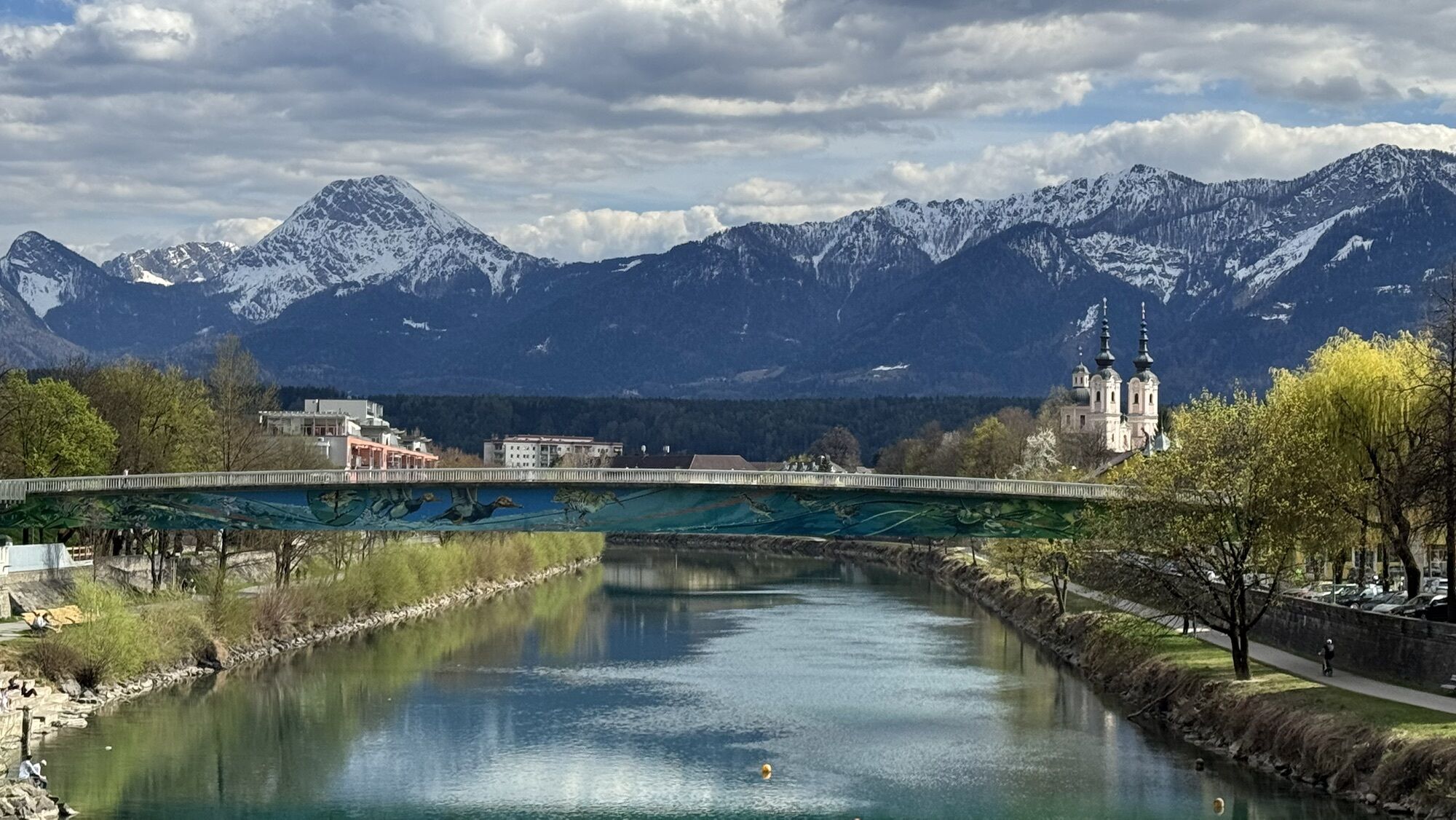
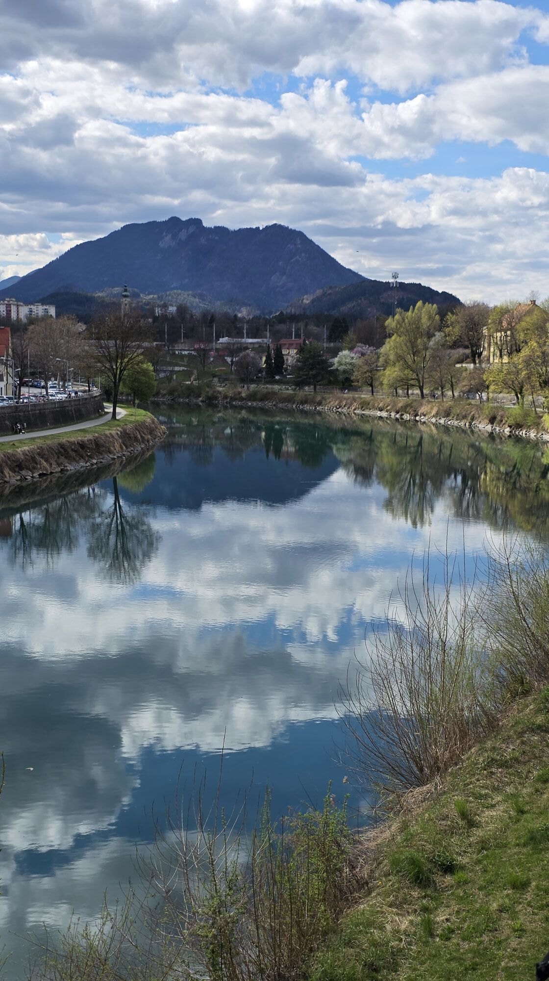
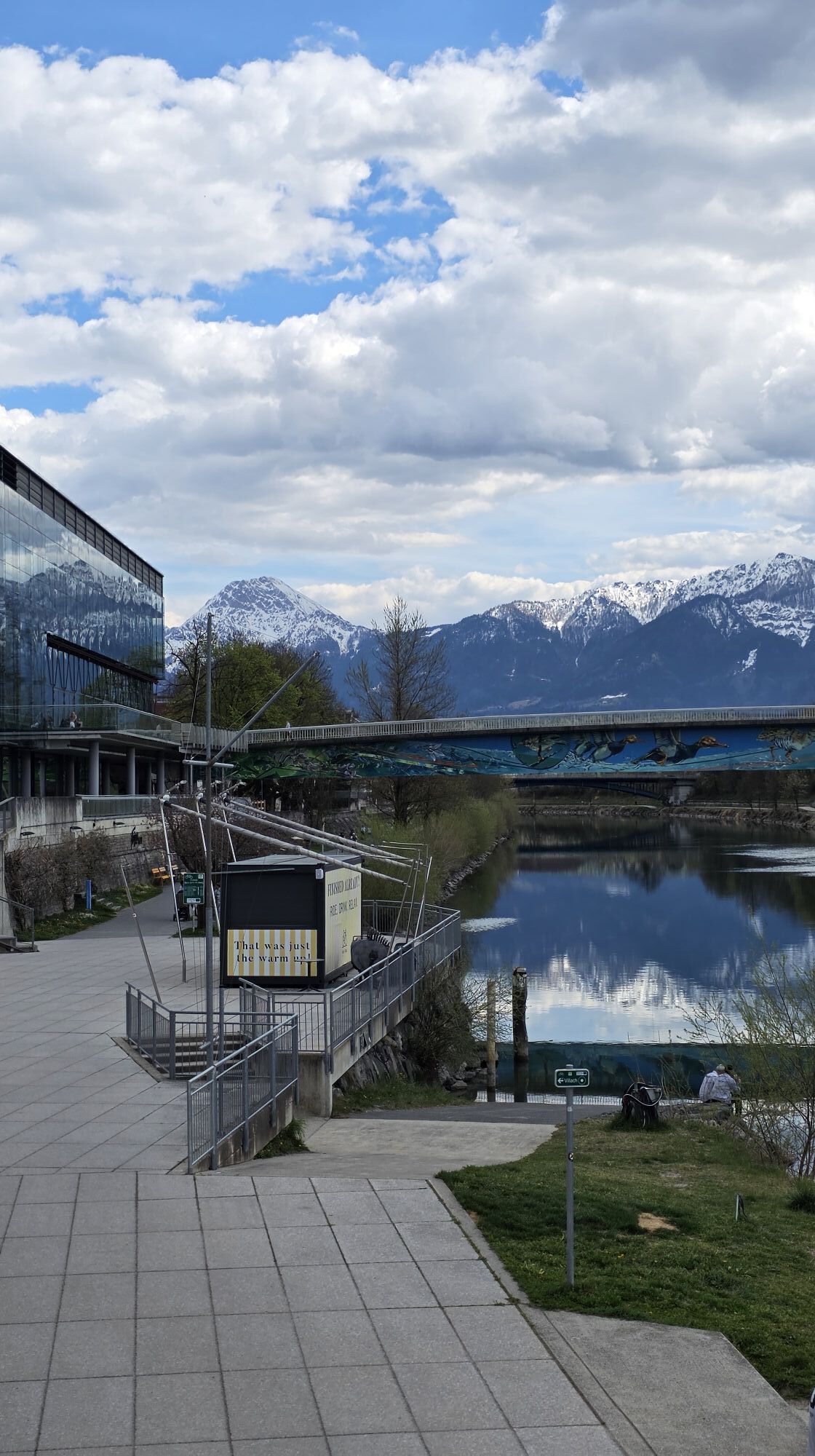
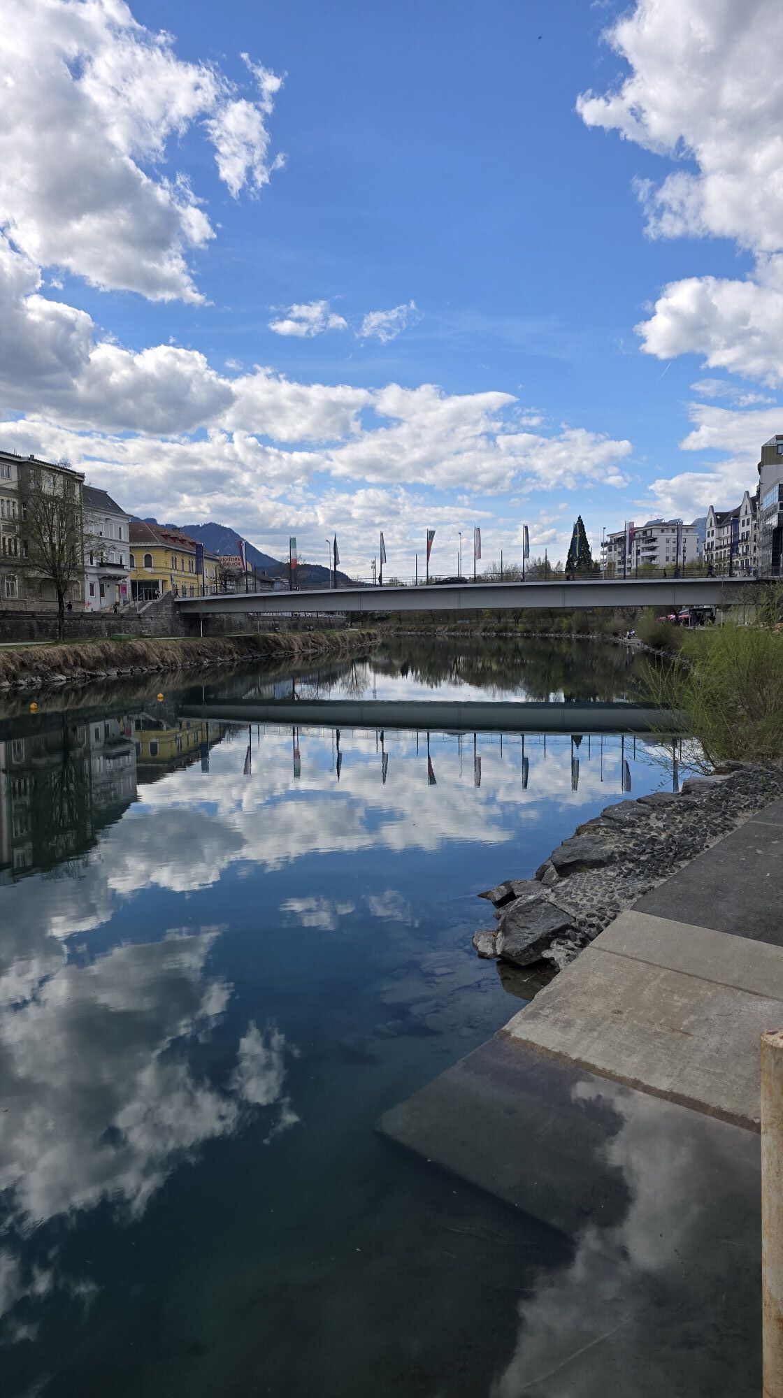
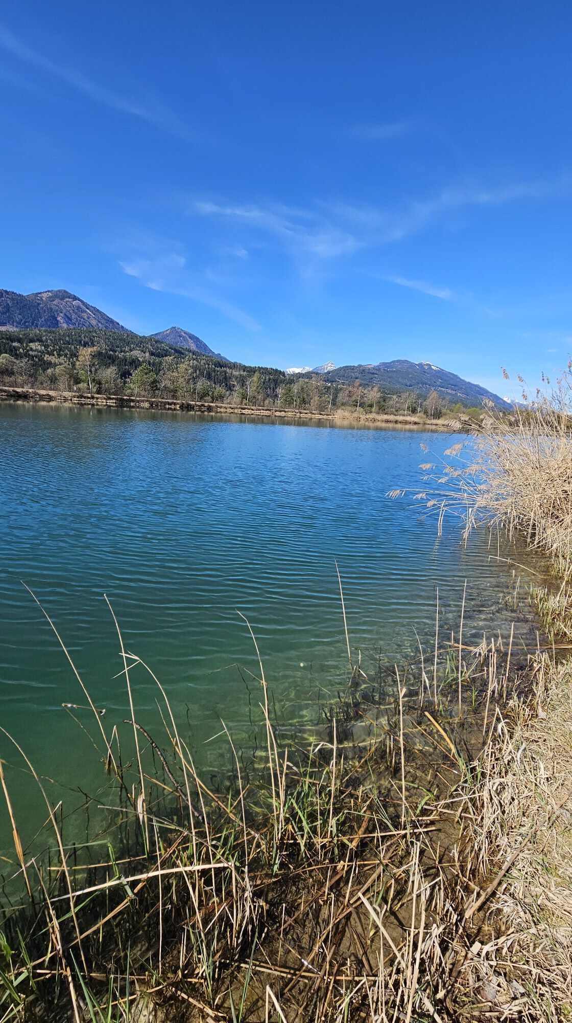
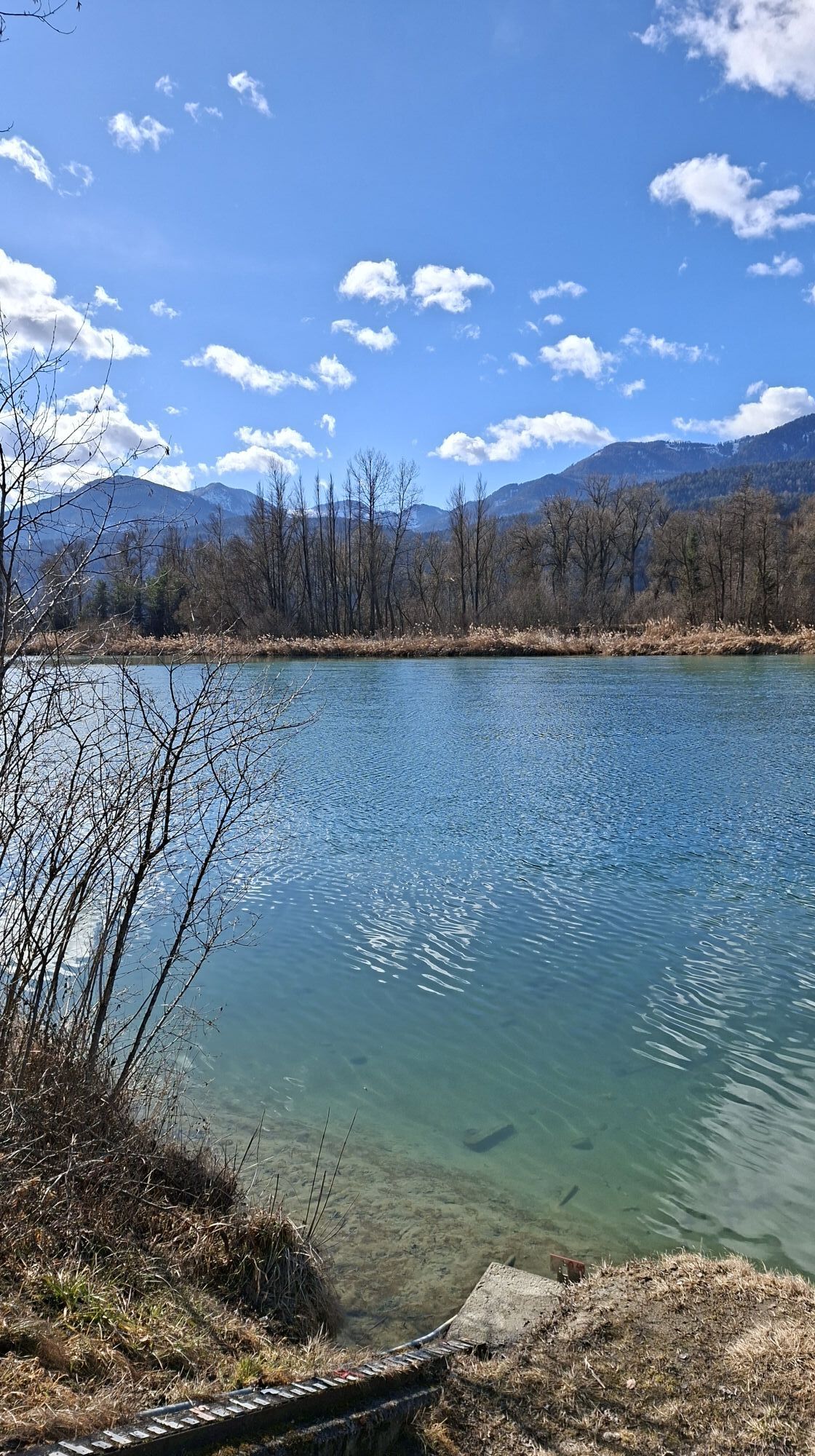
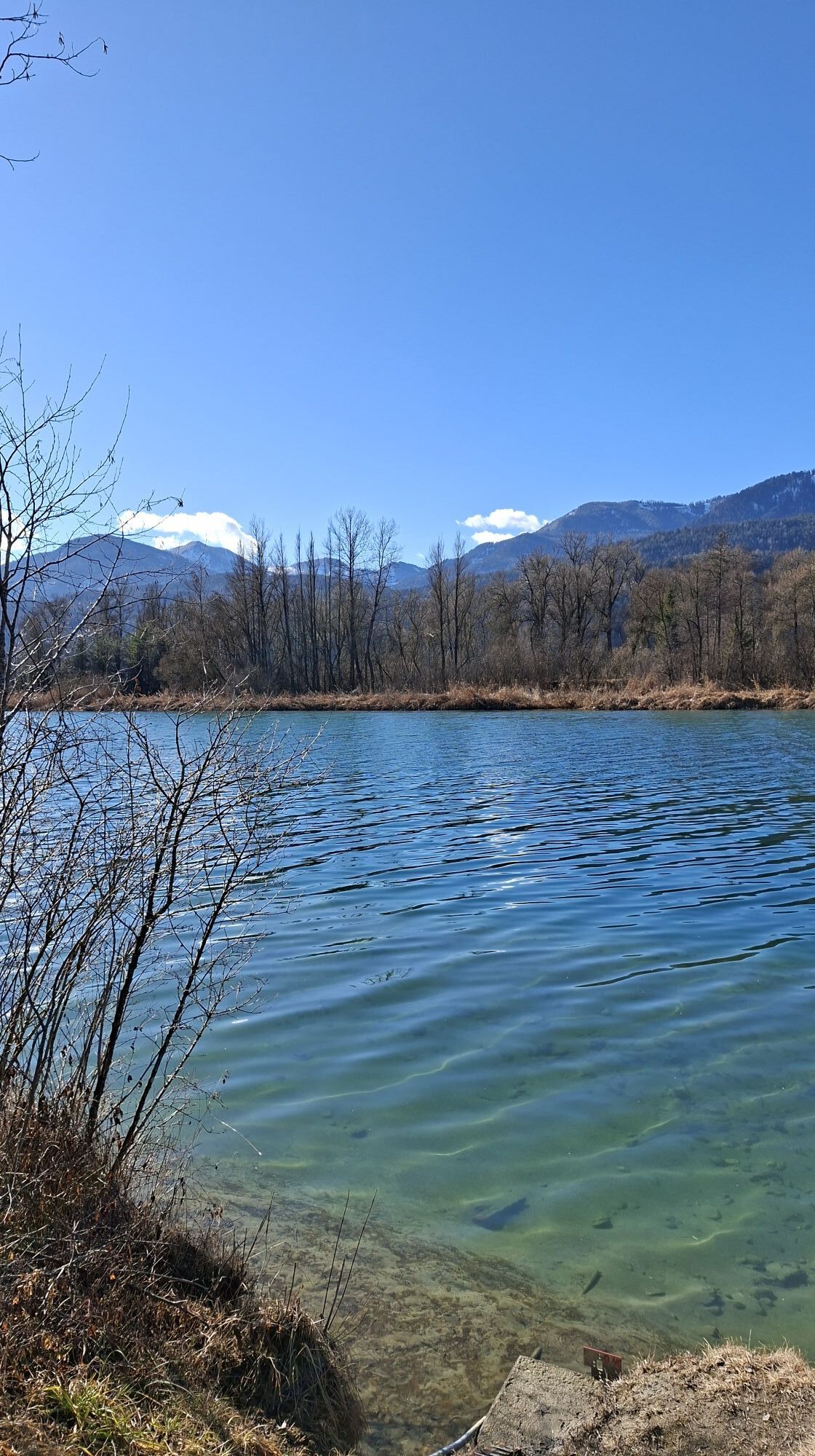
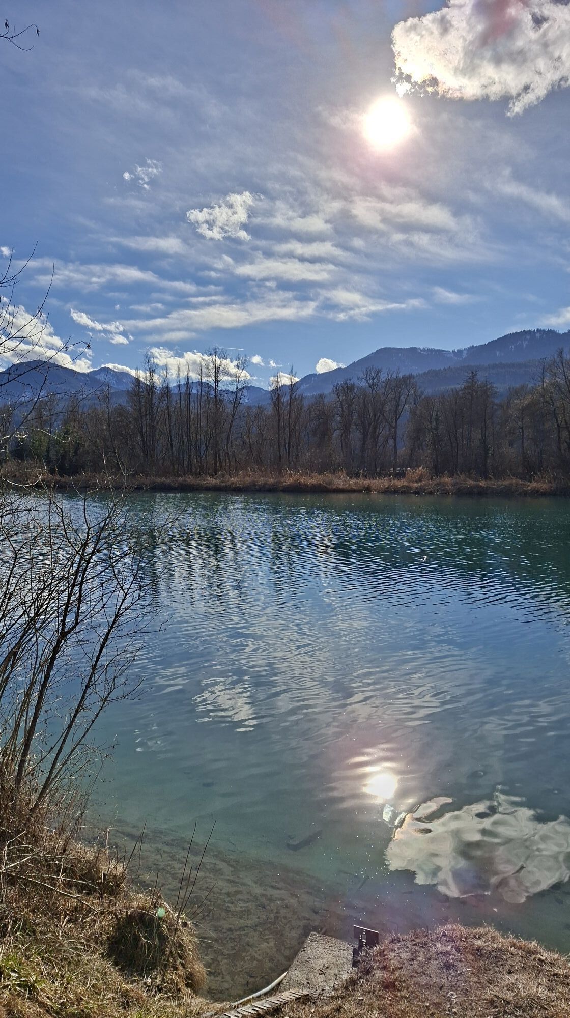
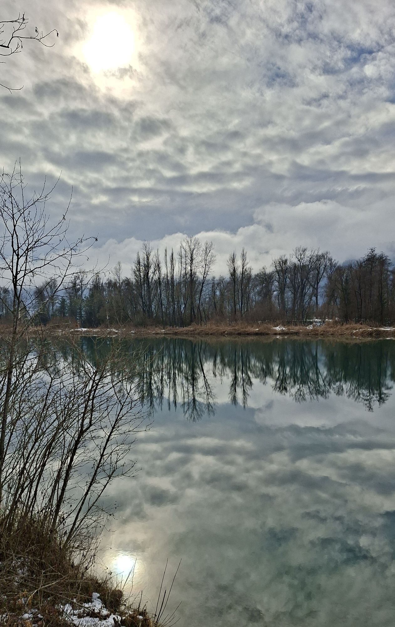
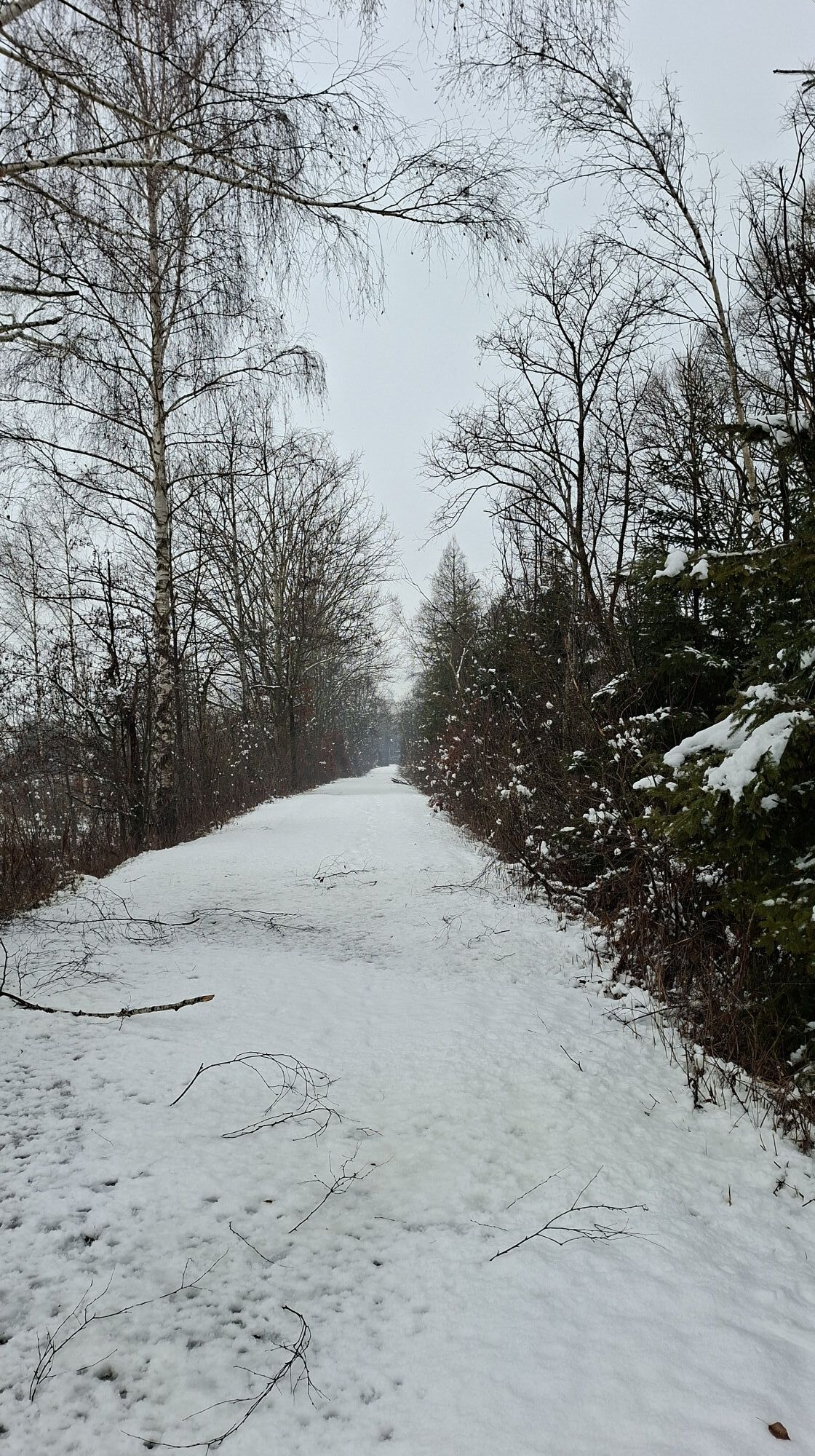
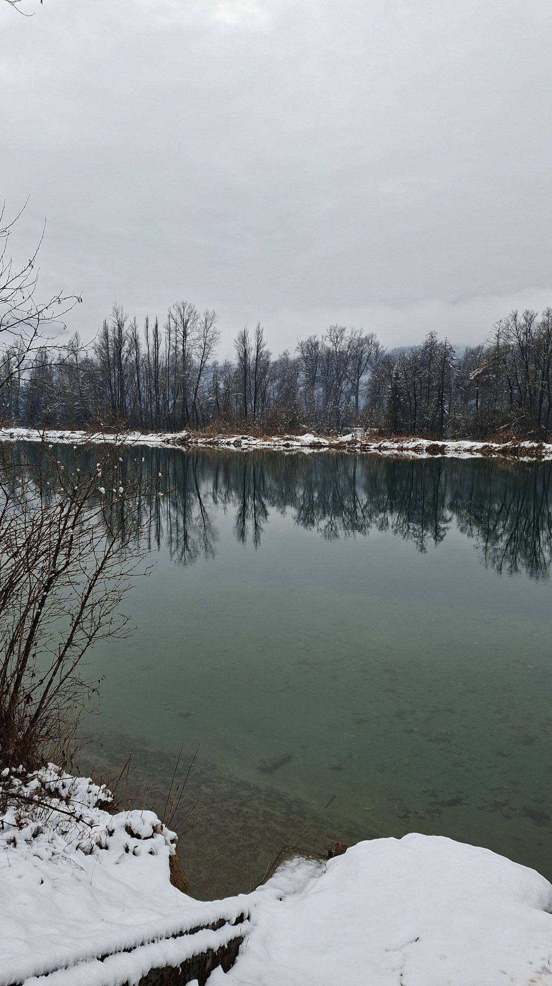
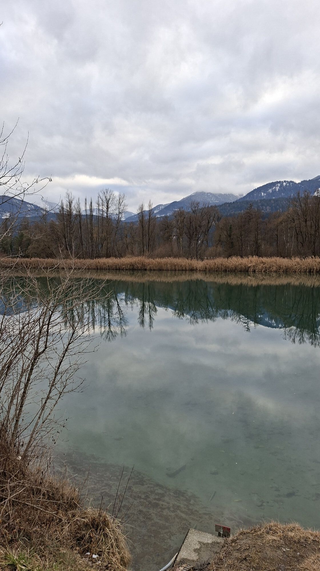
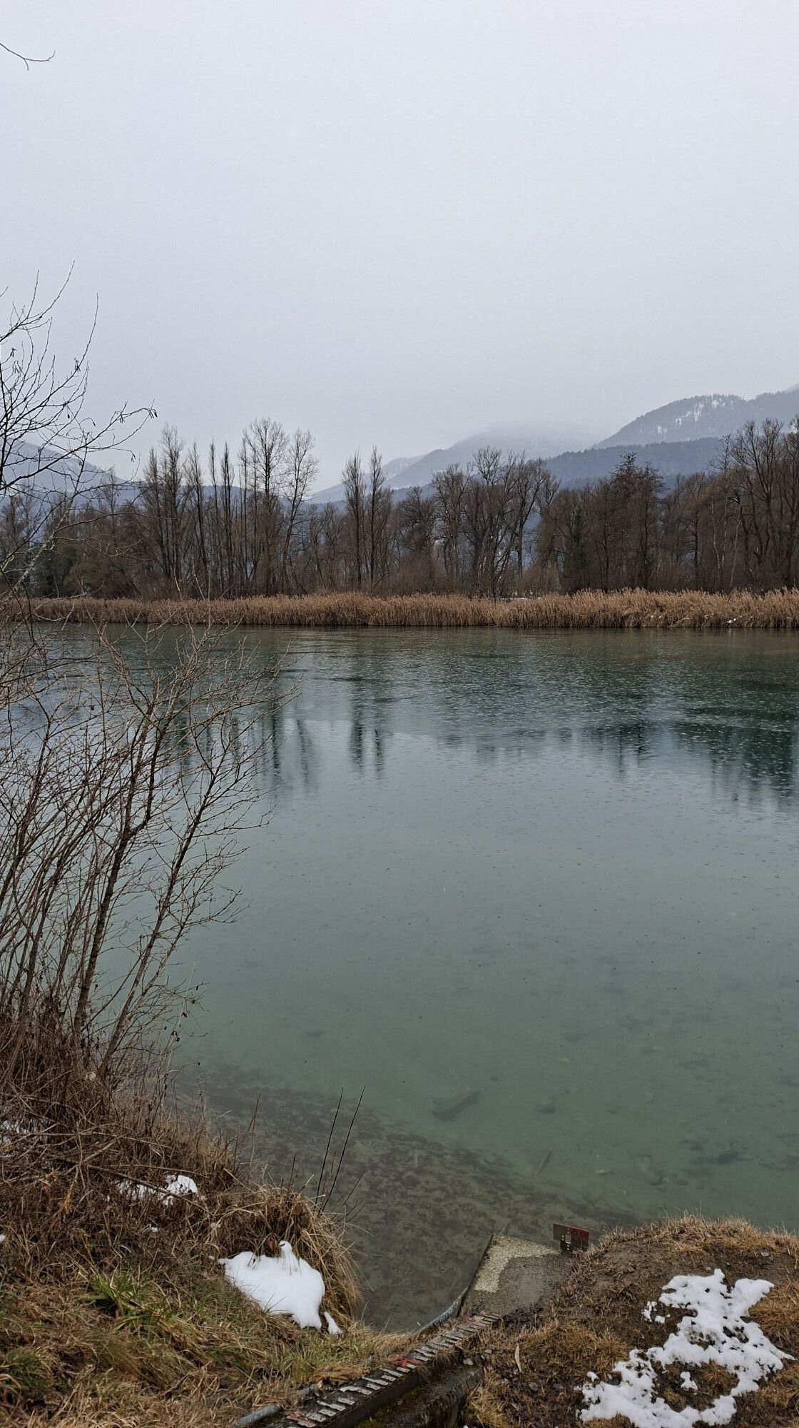
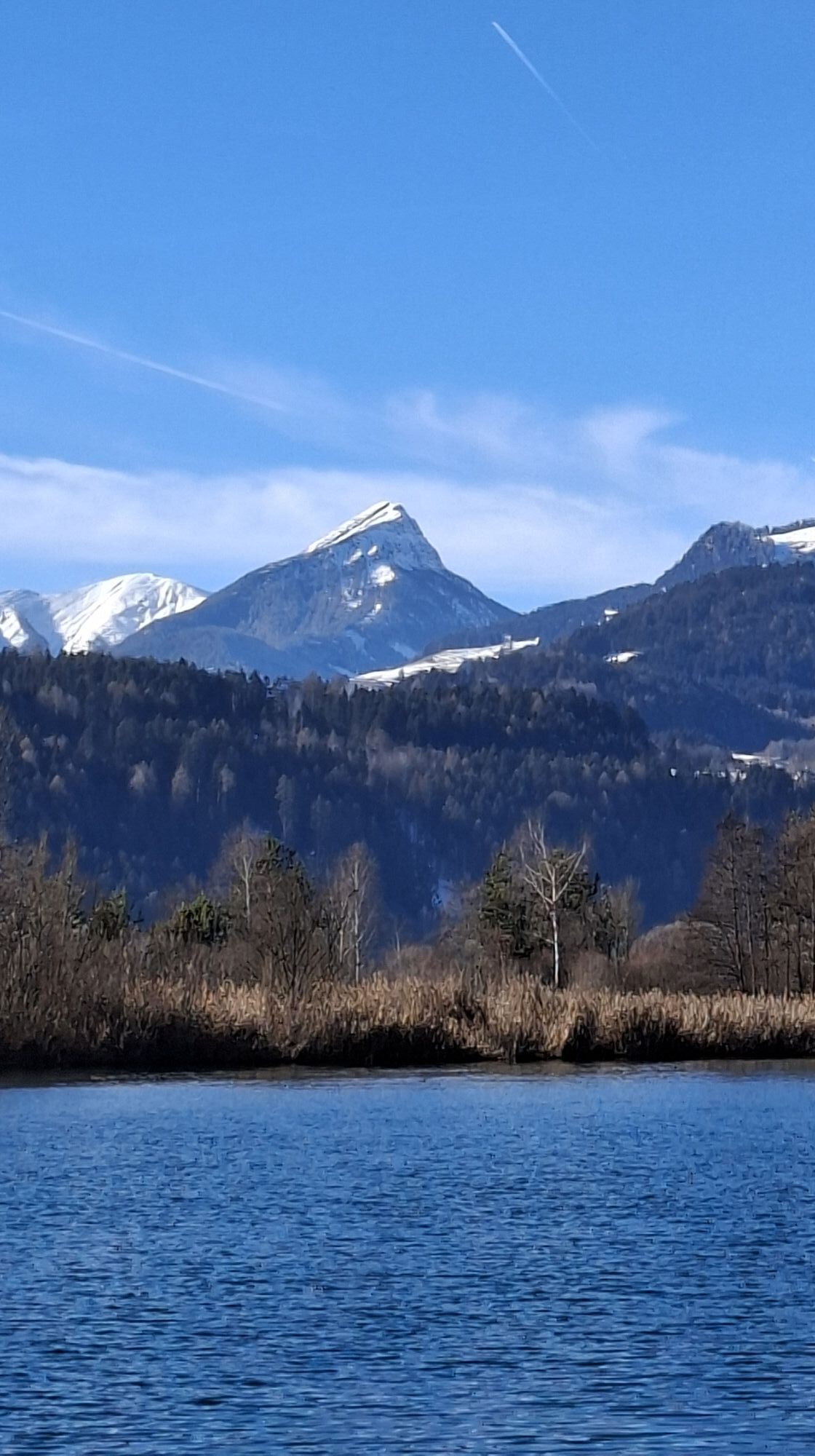
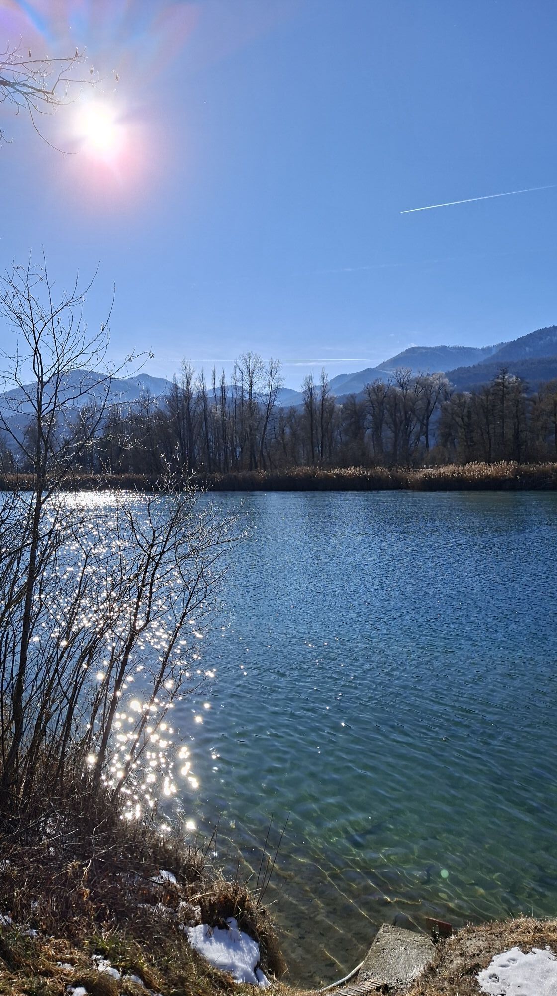
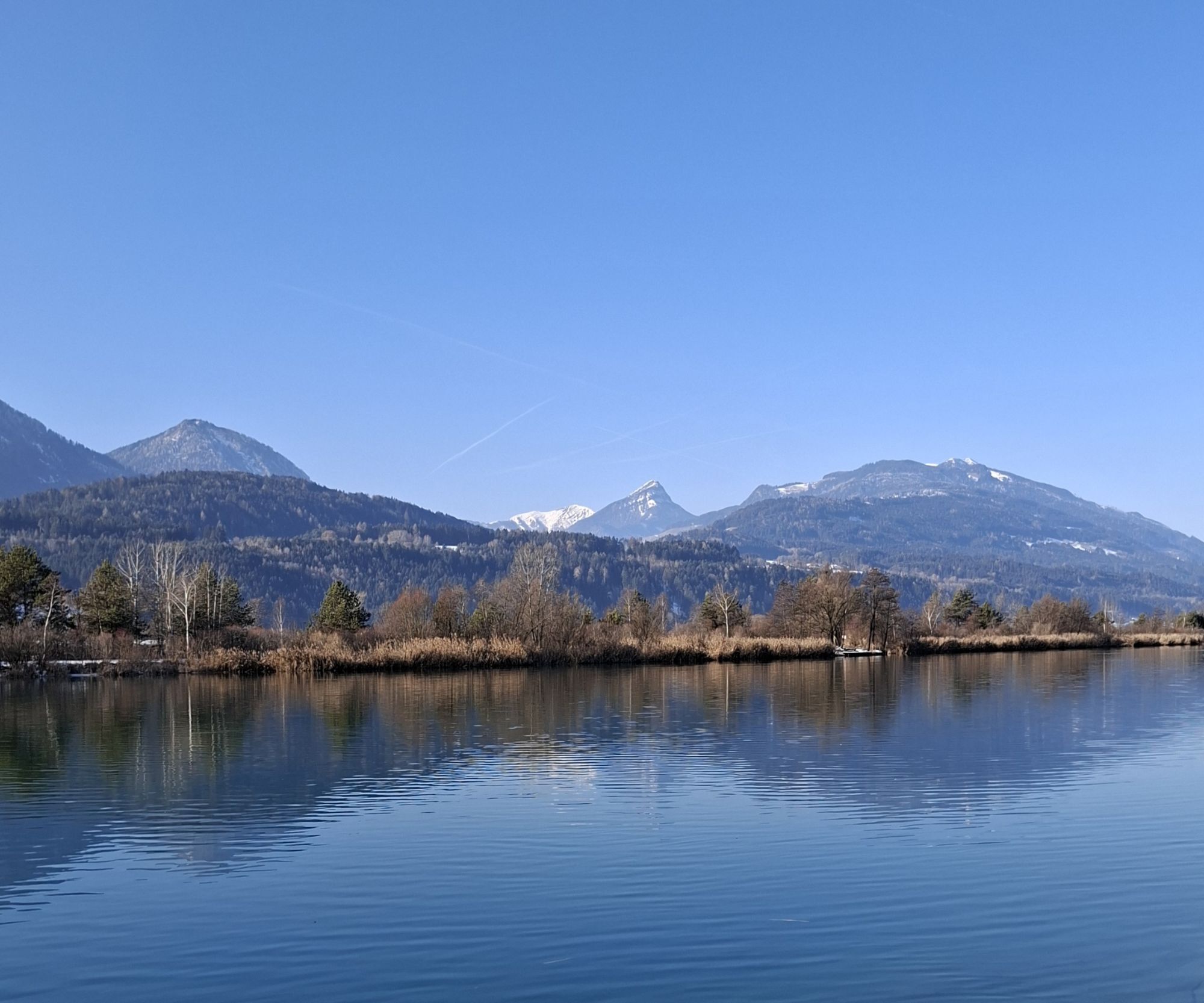
The first stage of the bike tour is particularly leisurely and goes by bike bus from Lake Faak to Spittal an der Drau.
The approximately 53-kilometer bike tour back first leads from the city center of...
The first stage of the bike tour is particularly leisurely and goes by bike bus from Lake Faak to Spittal an der Drau.
The approximately 53-kilometer bike tour back first leads from the city center of Spittal via St. Peter to Molzbichl, past the early medieval museum Carantana. Then you go under the Tauern motorway and reach the Drau again at Mautbrücken, which you follow along the dam to Paternion. At the power plant, you cross the river again and cycle the next 12 kilometers to Gummern along its south side. The Drau now begins to make wide bends, and the route leads to Villach. Here you should definitely plan a stopover to explore the city center or visit one of the numerous cafés at the main square or along the Drau.
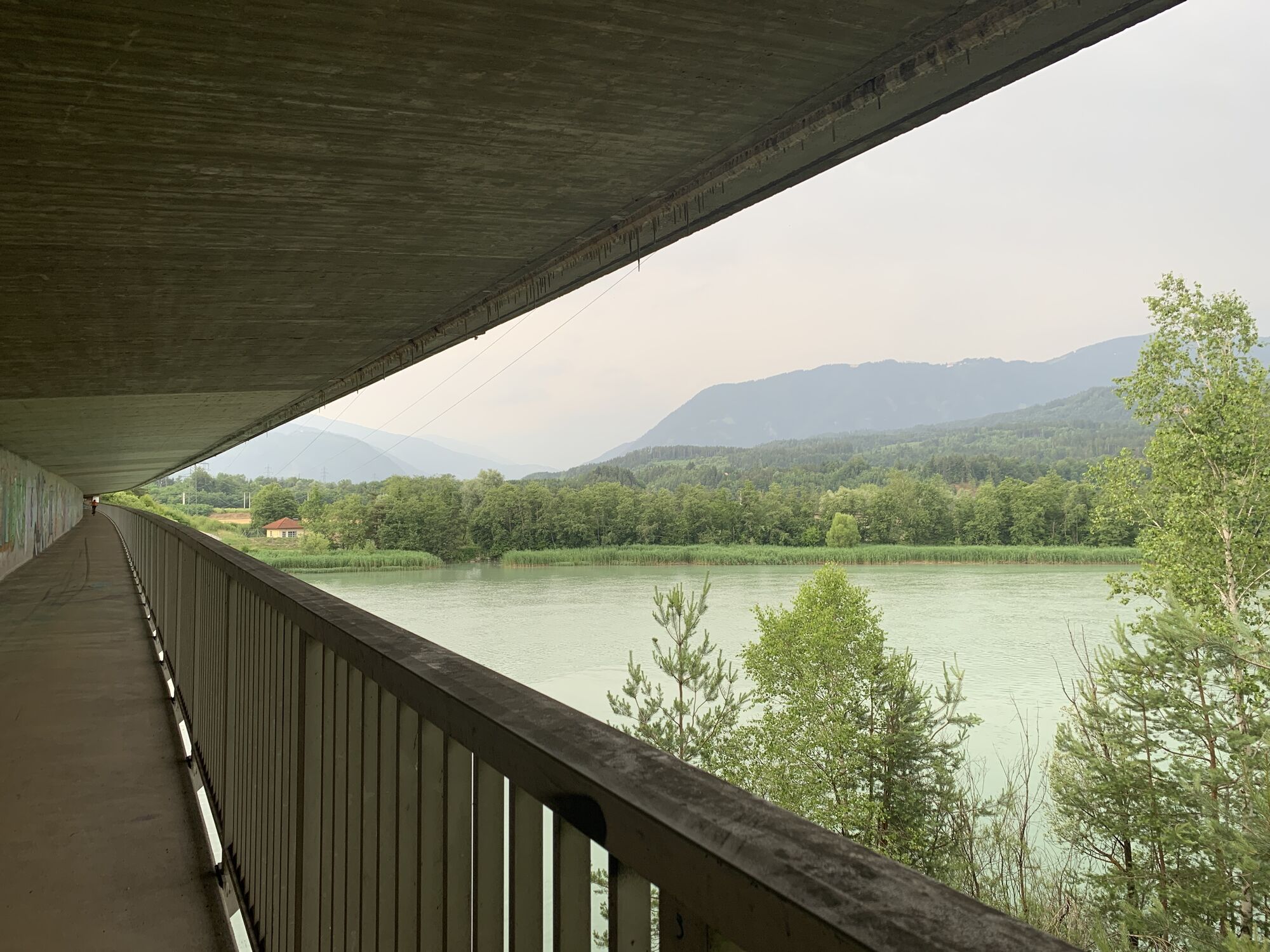
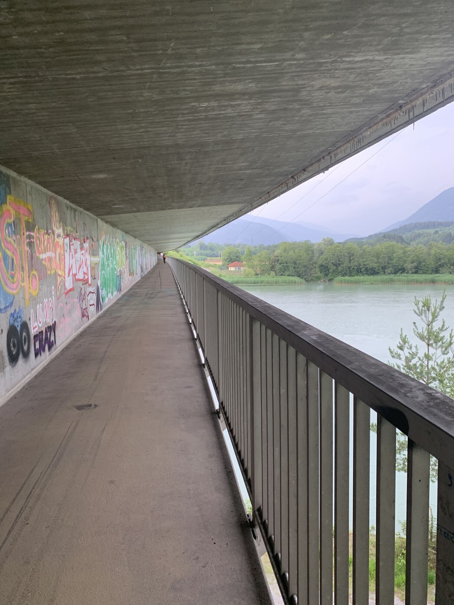
The tour continues along the Drau bike path downstream toward Lake Faak. For this, follow the signs on the left bank of the Drau towards Silbersee and St. Ulrich. There you cross the Drau finally via a bike path directly under the motorway bridge. It then goes through the village of St. Niklas towards the south to a roundabout, which you leave at the 2nd exit. From here, the route goes now a bit steeply uphill to Lake Faak.
The bike tour is not demanding, but due to the distance, it is quite sporty and offers a view of a special part of Carinthia. At a "slow" cycling pace, the landscape shows itself from its most beautiful side!
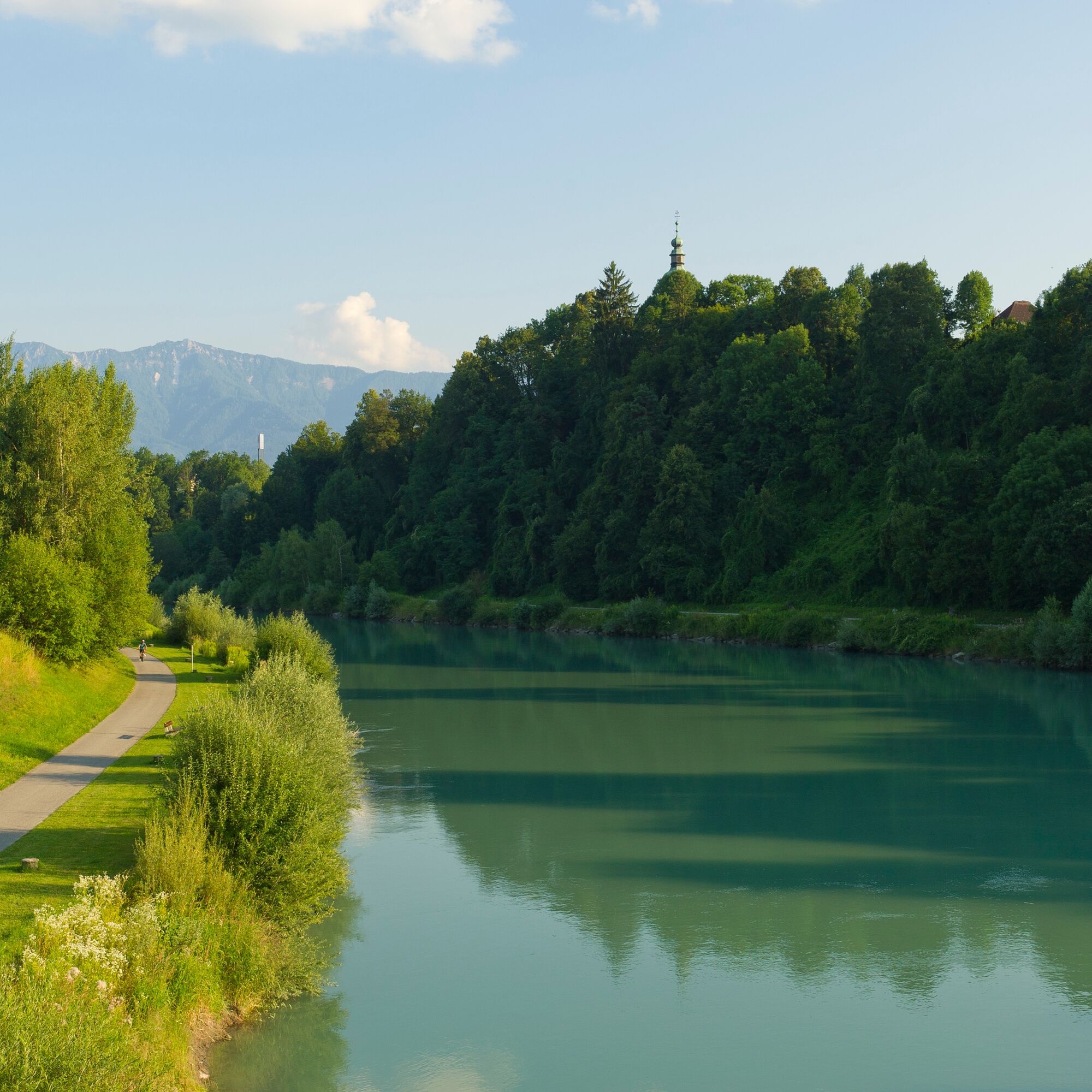
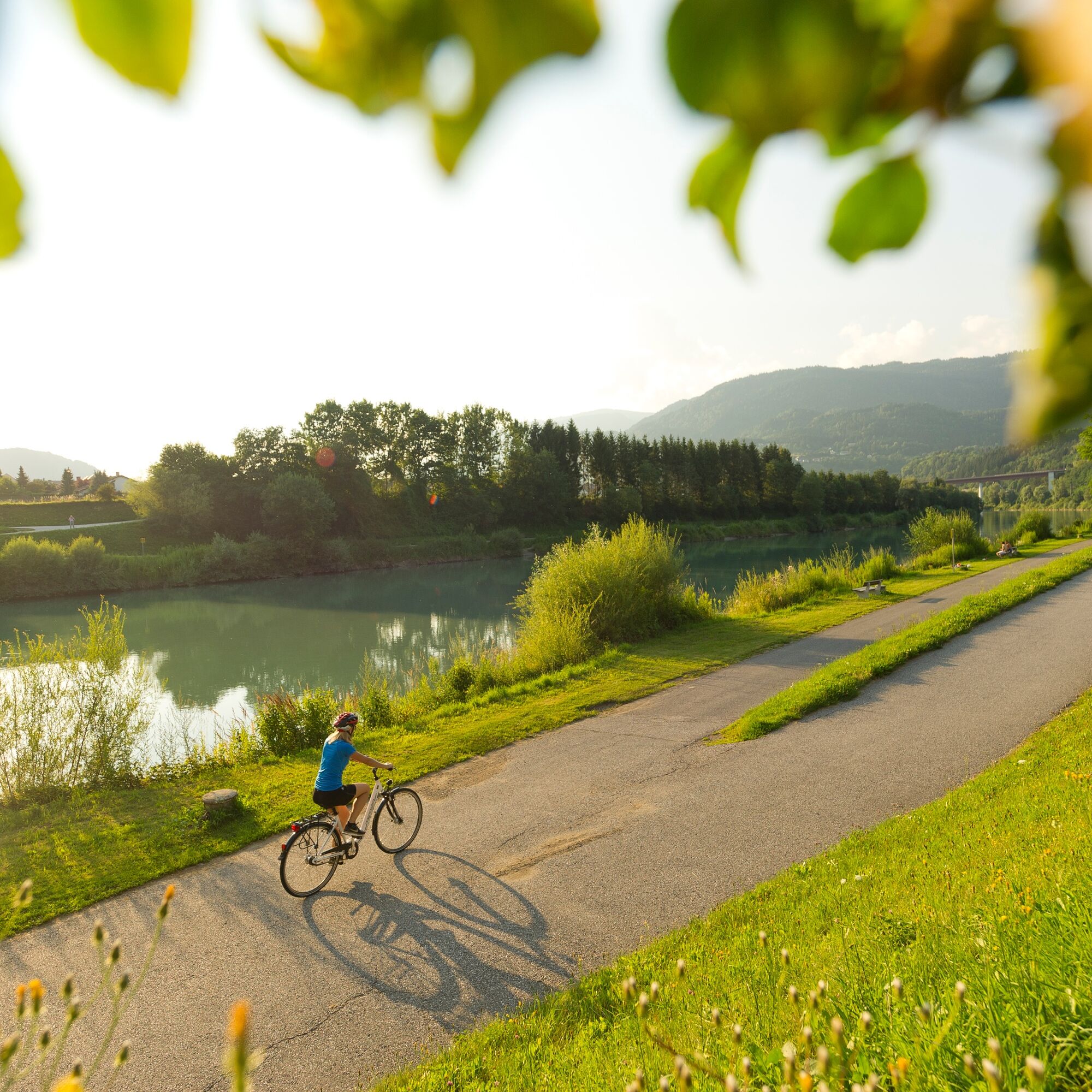
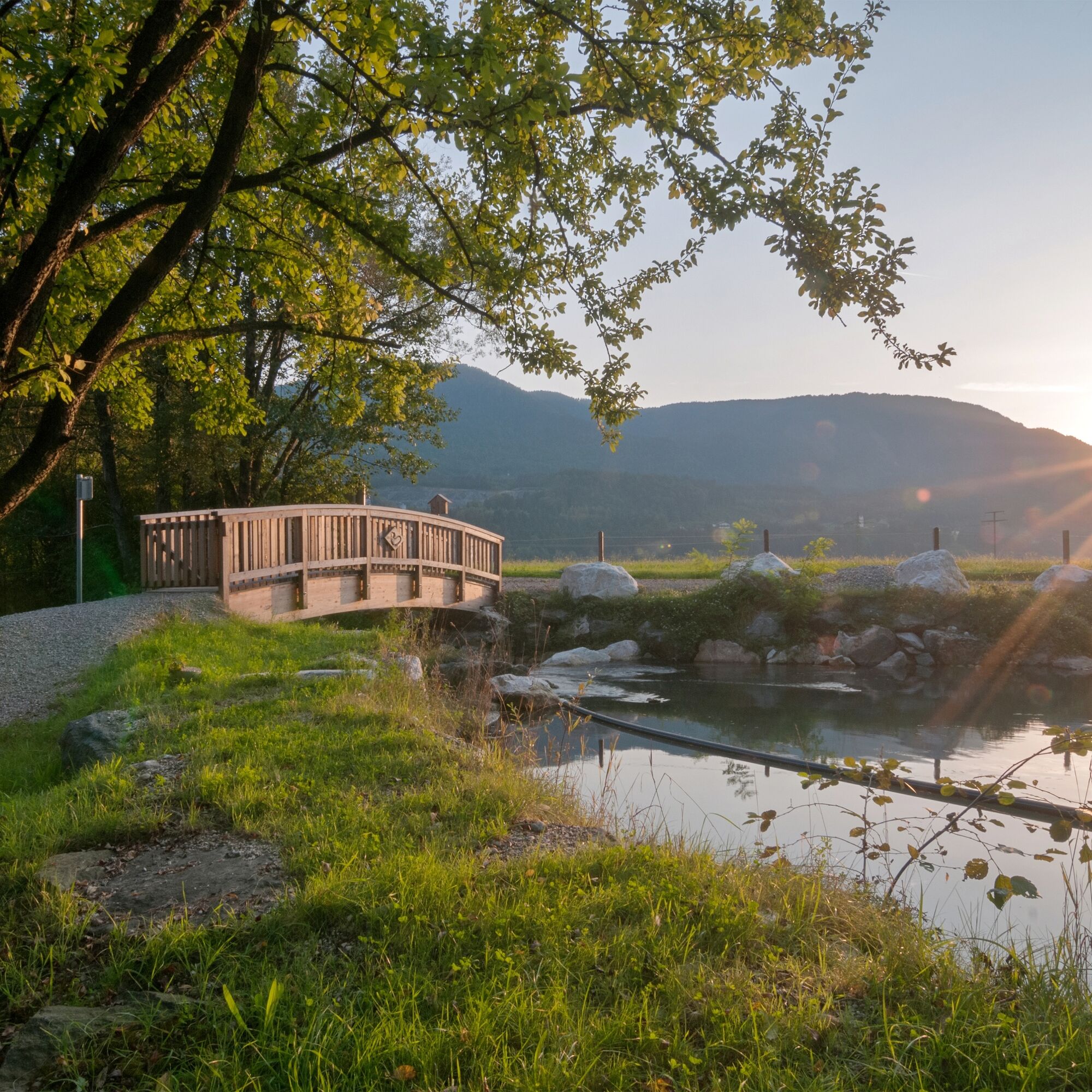
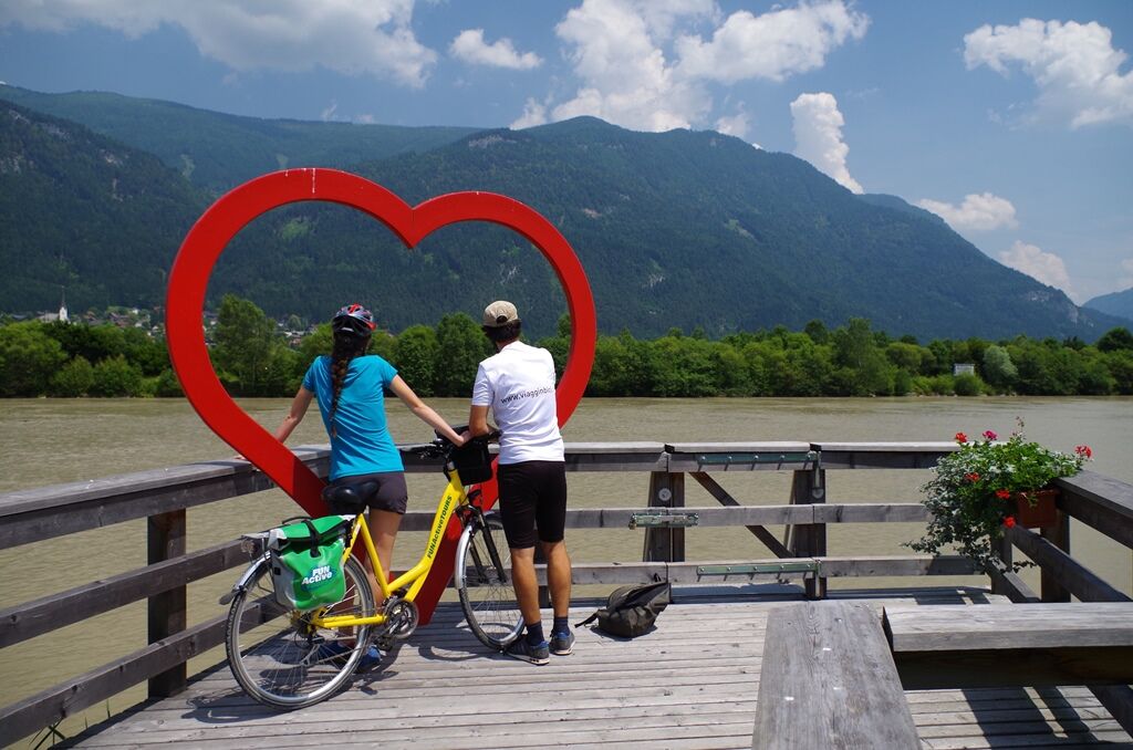
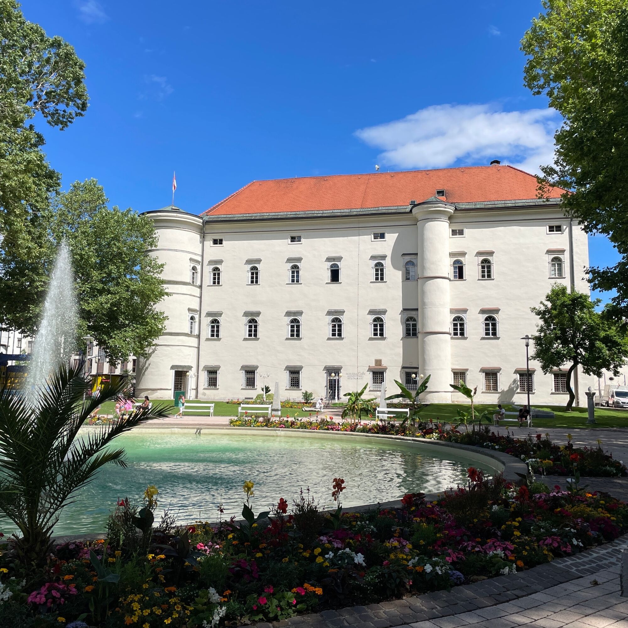
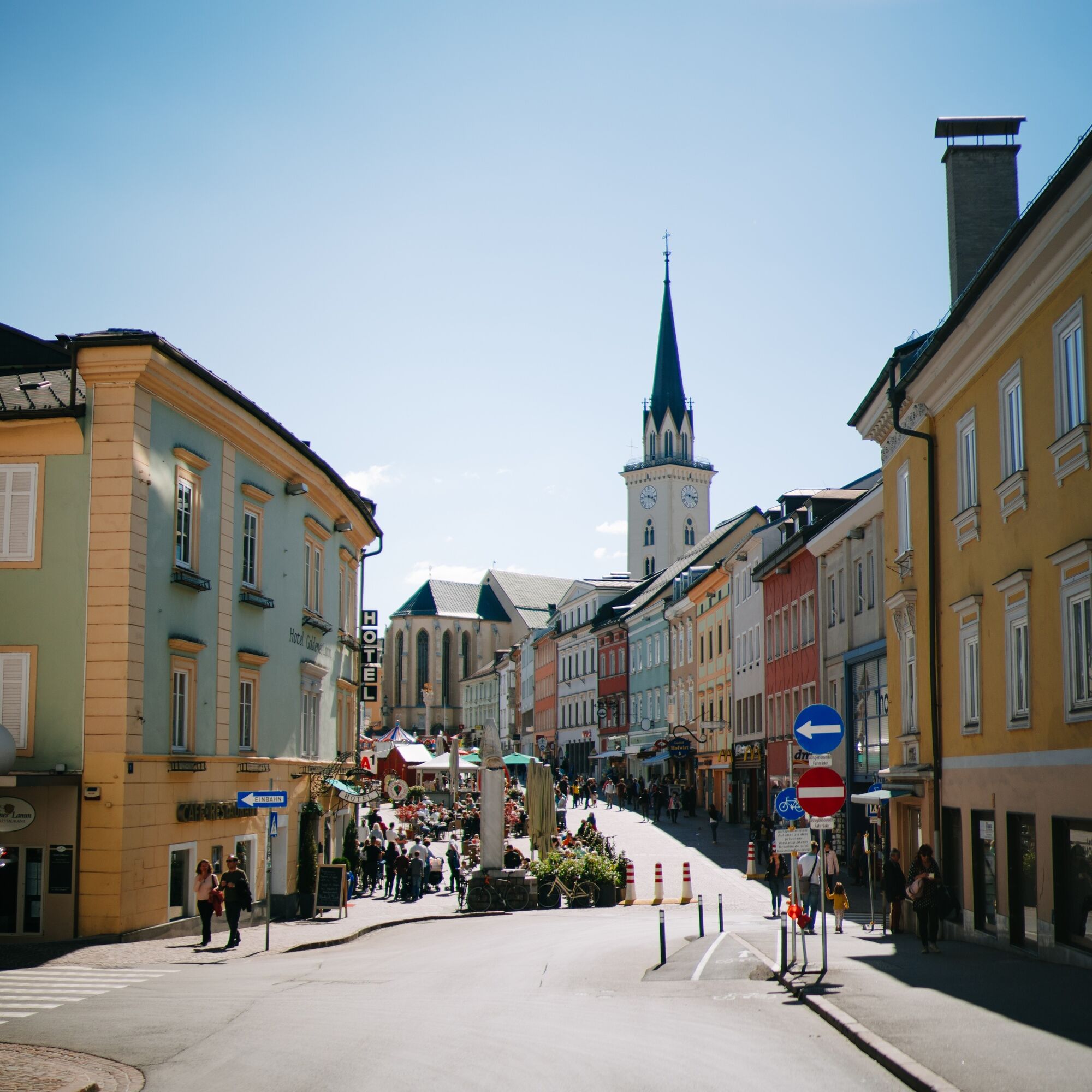
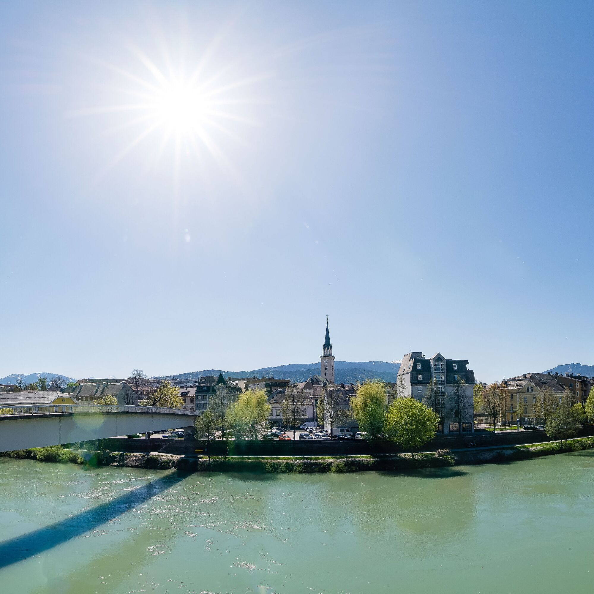

From Spittal to Paternion: The starting point is the Spittal an der Drau train station; east of the station, you find the 1st sign for the Drau bike path. You follow Bismarckstraße, then turn left into Ortenburgstraße and then right into Jahnstraße. At the Brückenwirt, you cross the Lieser and then ride right along Höllgasse (one-way street), cross the railway, and then turn left. It continues over Südbahnstraße to Tangerner Weg. Now you leave Spittal and head leisurely towards St. Peter. Shortly before St. Peter, you first turn right, then left. You cycle under the motorway. Then it goes left to Molzbichl, over the railway, under the federal road, onwards. After the motorway underpass, you cycle briefly alongside the motorway. After about 3 km, the river changes banks, and you cycle again directly along the river. After about 700 m, you go under the Mauthbrücken bridge, along the dam to Paternion.
From Paternion to Villach: Shortly before the Drau bridge at Feistritz, the dam path makes a bend to the right but then returns to the bank. Just past the underpass, there is a small bridge past a wood yard. Then simply cycle over the brook, always keep left and continue straight to the main road. Now it flows downstream to Pobersach. The Drau now begins to make wide bends. The route follows these meanders. On the dam crest, you reach Kellerberg a little later.
Kellerberg: Here it continues on the right bank of the Drau after the bridge, always along the river bends. The confluences of smaller brooks into the Drau can also be felt by ground waves. After about 4 km, you reach the Drau bridge at Töplitsch. Now you have to change to the left bank of the Drau.
Töplitsch: Töplitsch lies on the right side. However, you follow the bike path over the Drau along the railway. Now you must keep left and follow the loop under the bridge. You are back on the bank. After the narrow valley, the hills become flatter, and the valley opens up. You pass the Gersheim marble mill until you finally reach the Fellach power plant.
Fellach power plant: Now you can choose which bank you want to take to Villach city center. Both bike paths are paved and always run close to the Drau bank. Halfway, there is even the opportunity to switch sides again via a footbridge.
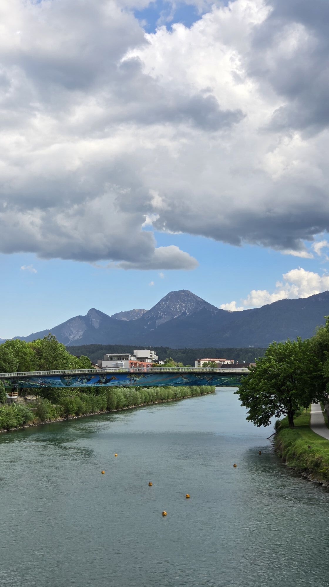
Villach to Lake Faak: After a short detour through Villach city center, it continues along the Drau to the red Peace Bridge and from there along the left bank of the Drau past Silbersee to St. Ulrich. Here you cross the Drau via a bike path that runs directly under the motorway bridge and so reach the right bank of the Drau and the village of St. Niklas. Here you turn right and pass through the village until you reach a roundabout. You leave it at the second exit (straight) towards Lake Faak. Now you still have to overcome a short steep section along the road before finally reaching Egg at Lake Faak.
Tak
1
Region Villach Tourism
+43 4242 42000
Tickets & registration: erlebnisse.visitvillach.at

Kamery internetowe z trasy
Restaurant Goldalm
Restaurant Goldalm
Burgruine Finkenstein
Faaker See
Faaker See
Faaker See
Faaker See
Faaker See
Faaker See
Annenheim/Ossiacher See
Landskron
Villach - Friedensbrücke
Restaurant Goldalm
Villach
Döbriach
Burgruine Finkenstein
Seeblickweg
Millstatt am See
Faaker See / Grüner Heinrich
Hotel zur Post
Faaker See / Haus am See
Goldeck - 8er EUB Bergstation
Uzyskaj wgląd Zawsze na żywo z ponad 9 500 kamer internetowych. bergfex Jako użytkownik Pro, możesz teraz zobaczyć odpowiednie kamery internetowe dla wielu wycieczek w aplikacji wycieczki od. Pozwala to na bezpośredni podgląd aktualnych warunków. Aktywności na trasie

Villach, Kärnten/Österreich
24.04.2026 – Jazda na rowerze
Spittal an der Drau, Kärnten/Österreich
19.04.2026 – E-MTBRudersdorf, Kärnten/Österreich
25.03.2026 – E-Bike
Spittal an der Drau, Kärnten/Österreich
01.05.2025 – Jazda na rowerze
Alpe-Adria 4 Spittal-Villach
09.07.2024 – Jazda na rowerze
Paternion Radfahren
17.08.2020 – Jazda na rowerzeSpittal an der Drau Radfahren
17.08.2020 – Jazda na rowerze
Popularne wycieczki w okolicy
- 4,5
Auf den Dobratsch mit der ganzen Familie
Wędrówka 8,40 km - 4,4
Finsterbach Waterfalls - Circular route
średniWędrówka 3,87 km - 4,7
Gailtaler Alpen: Wanderung auf der Dobratsch
średniWędrówka 8,50 km - 4,9
4 Huts route
średniWędrówka 8,96 km - 5,0
Amberg: Palnock 1901m, Schwarzsee, Rundstrecke
średniWędrówka 7,94 km - 4,9
Skitour: FIS K70, Auf Franz Klammers Spuren
średniWycieczka narciarska 11,3 km - 4,0
Schwarzsee circular hiking trail
średniWędrówka 7,79 km - 4,5
Oswaldiberg St.Ruprecht
średniWędrówka 6,69 km - 4,5
Wasserfälle
średniWędrówka 2,48 km - 4,1
Mirnock
światłoWędrówka 4,54 km

Wędrówki i tropienie


Nie przegap ofert i inspiracji na następne wakacje
Twój adres e-mail została dodana do listy mailingowej.





