






Lake Egelsee, a natural treasure | nock/bike Tour 37
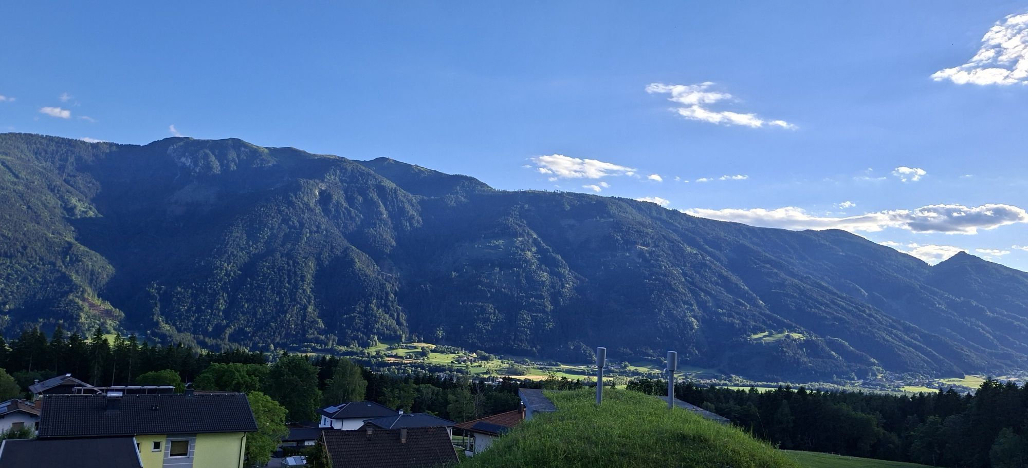
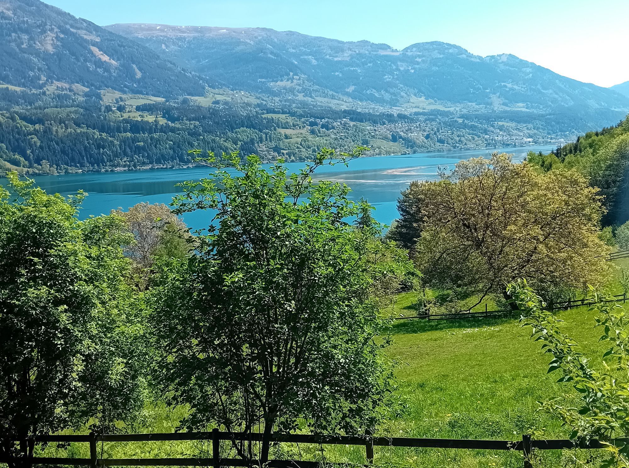
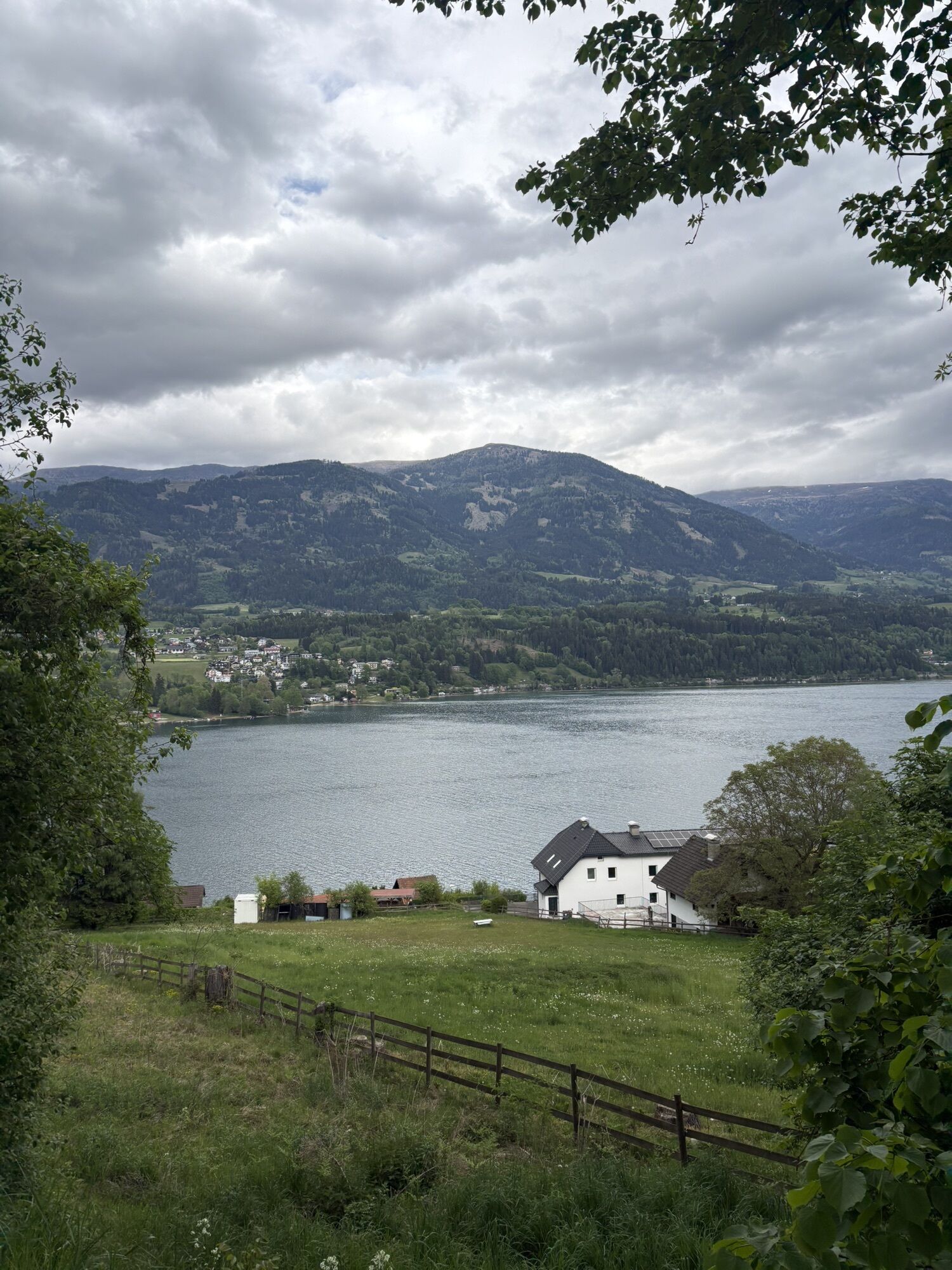
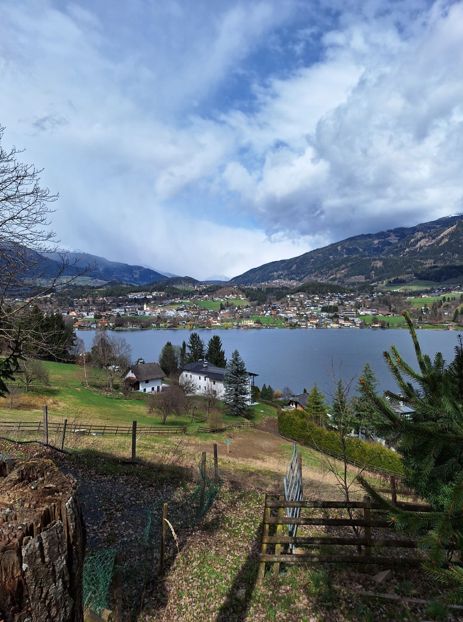
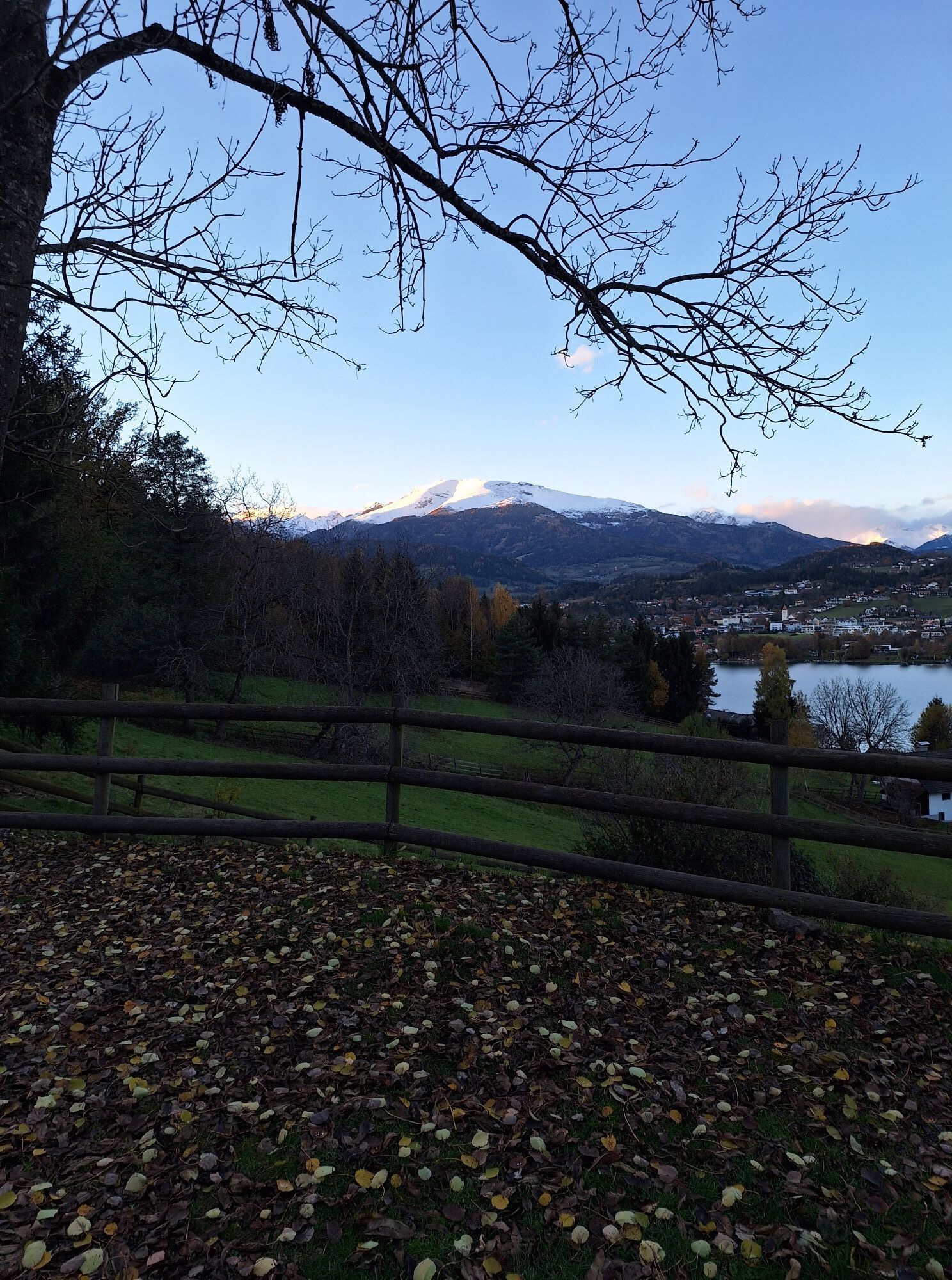
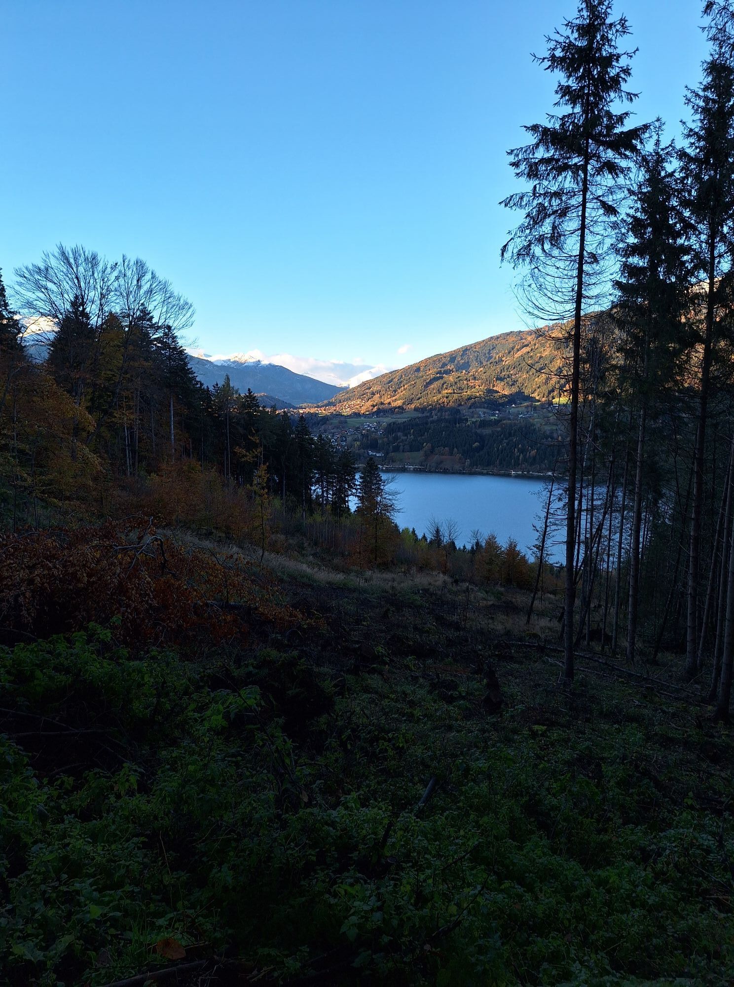
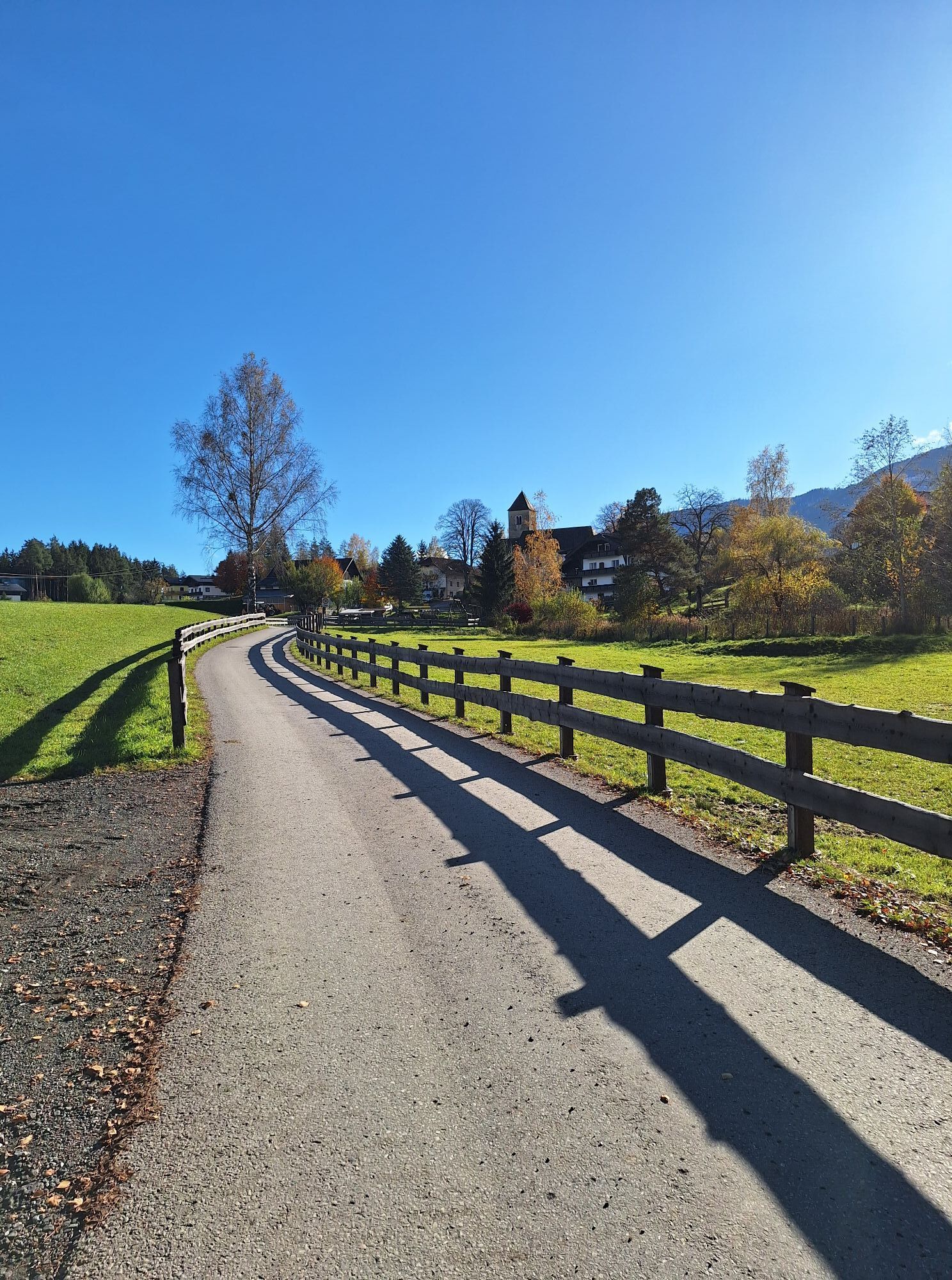
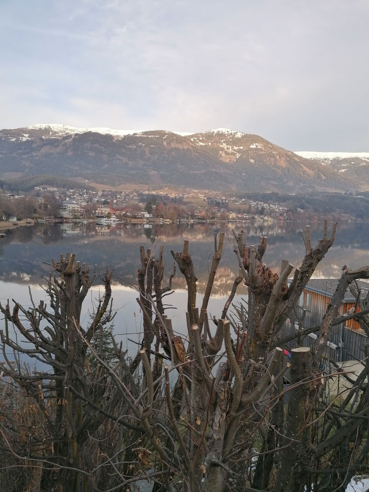
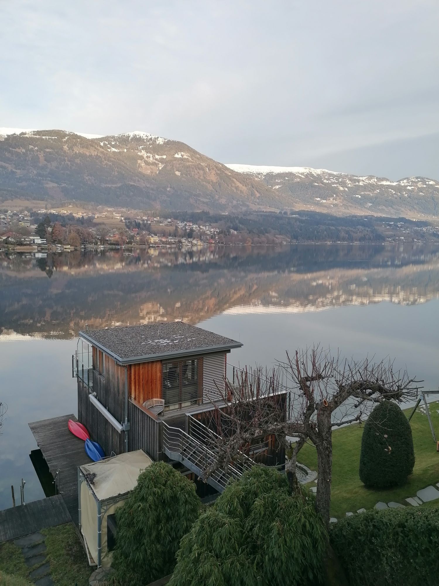
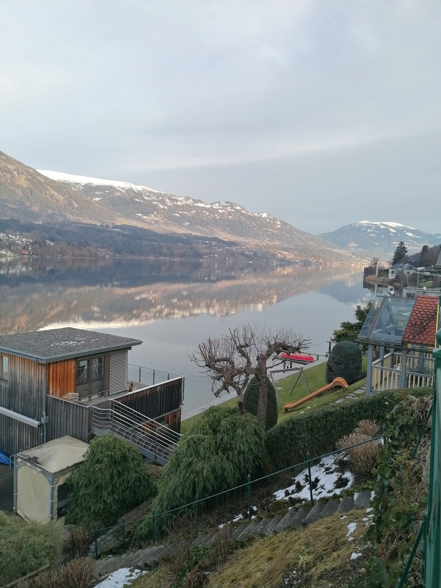
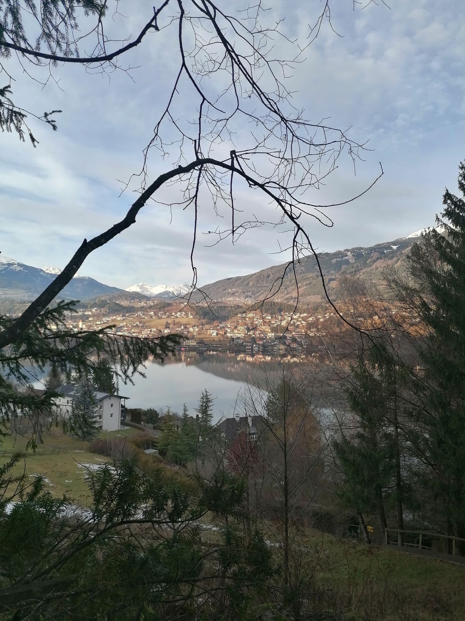
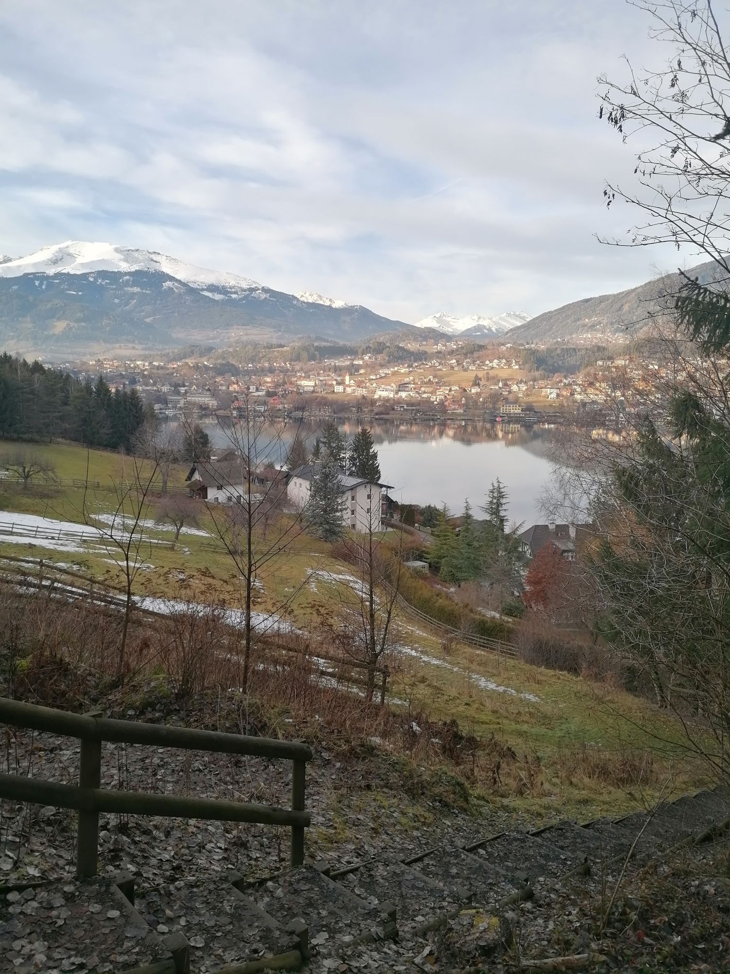
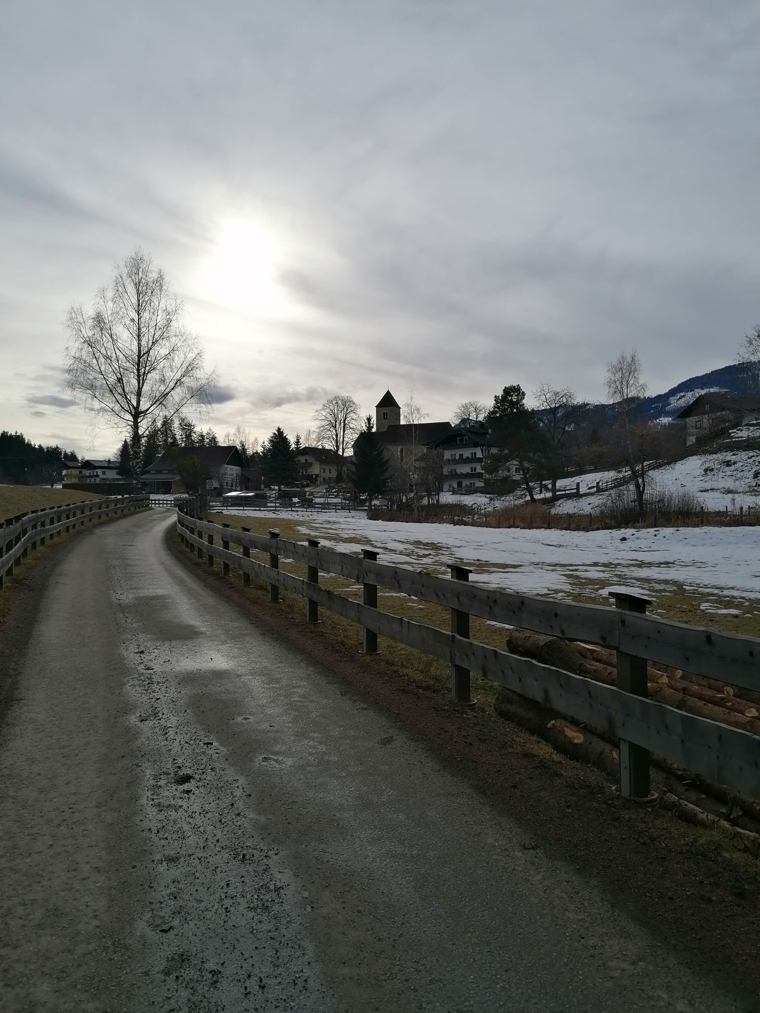
A tour for all off-road bikes with lake views, swimming opportunities or a possible detour to the town of Spittal an der Drau or the town center of Seeboden. The Church of St. Wolfgang was first mentioned...
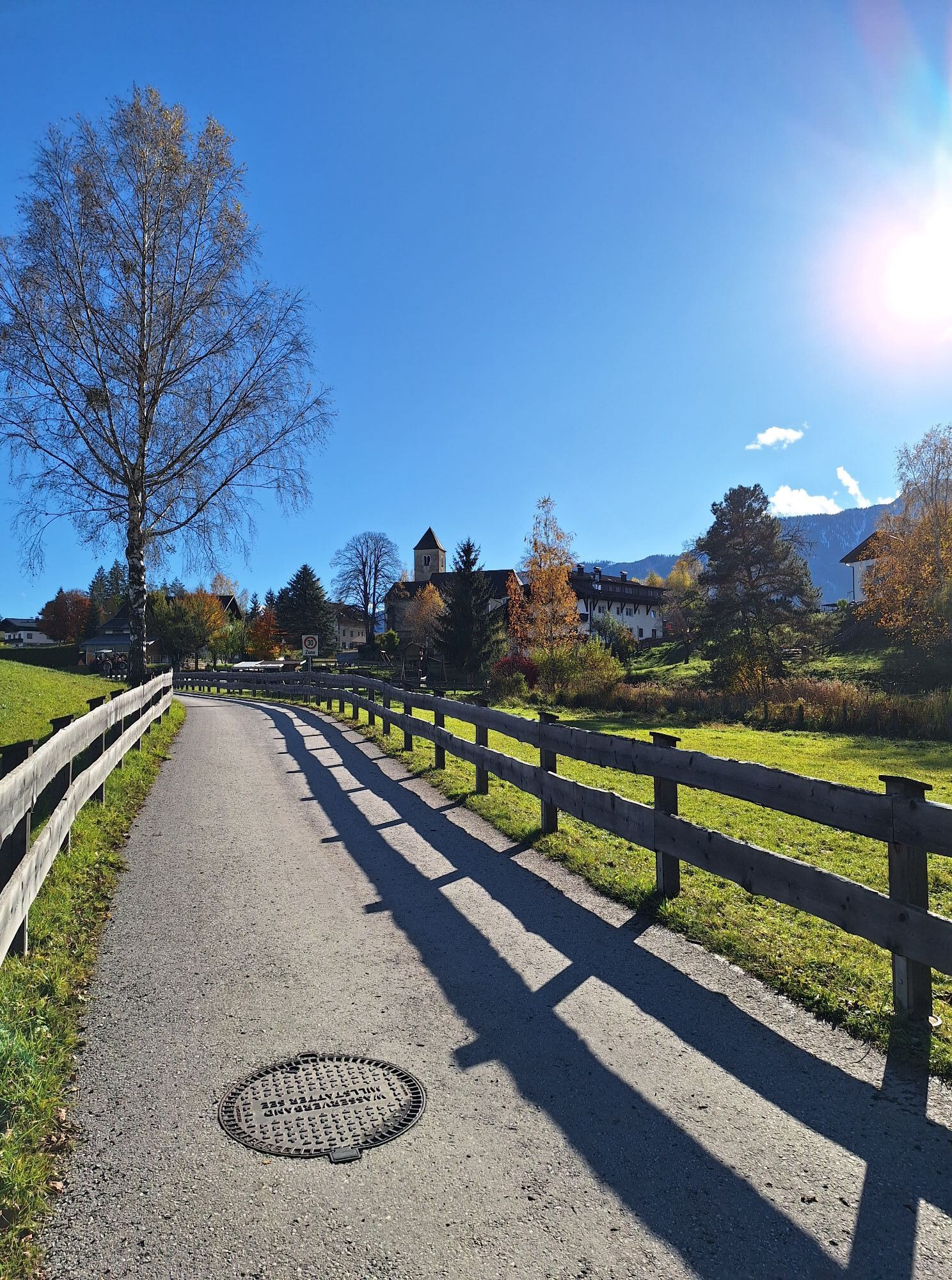
A tour for all off-road bikes with lake views, swimming opportunities or a possible detour to the town of Spittal an der Drau or the town center of Seeboden. The Church of St. Wolfgang was first mentioned in documents in 1449. Her original name is “St. Wolfgang am Fratres”. On the outer wall next to the portal there are 3 Carolingian decorative stones from the 9th or 10th century AD. There are 2 pilgrimages a year (Easter and Whit Monday). On Easter Monday, pigs' legs are auctioned off (the proceeds are used to maintain the church) and earth is consecrated, which the farmers scatter on the field and in the stable. The consecrated earth is said to bring a good harvest year and protect against harm in the house and stable.

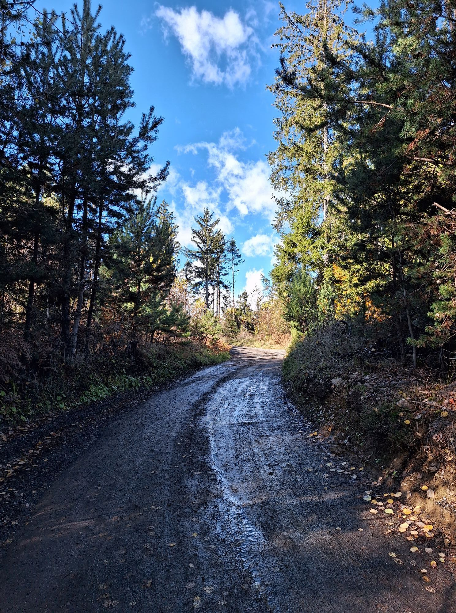
Attention, after approx. 1.5 km the tour leaves the Millstätter See cycle path - turn right here onto the slightly ascending gravel road.
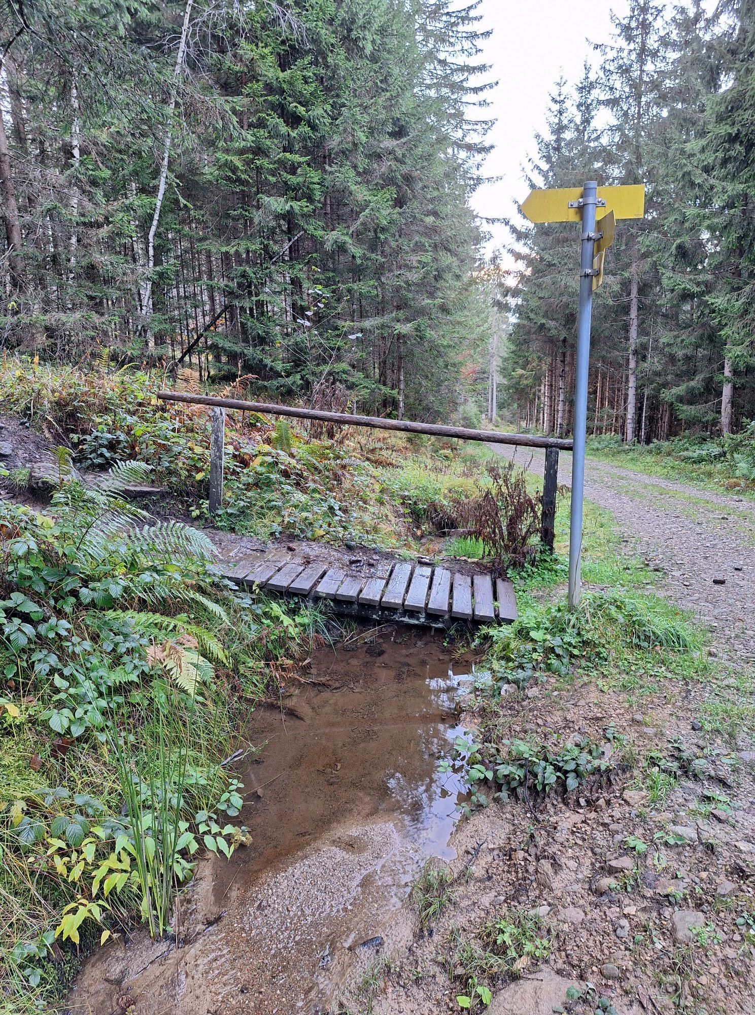
The tour leaves the forest road in a striking bend and continues on a short root path. Inexperienced people may have to push a few meters here.
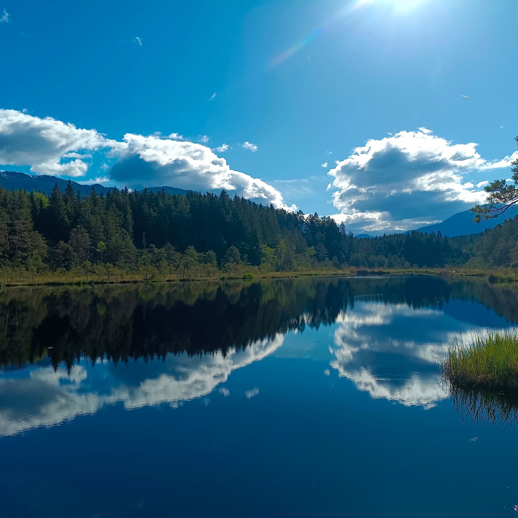
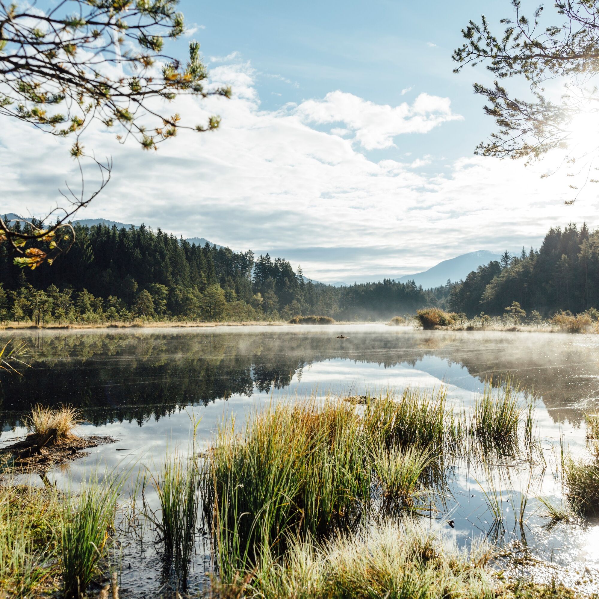
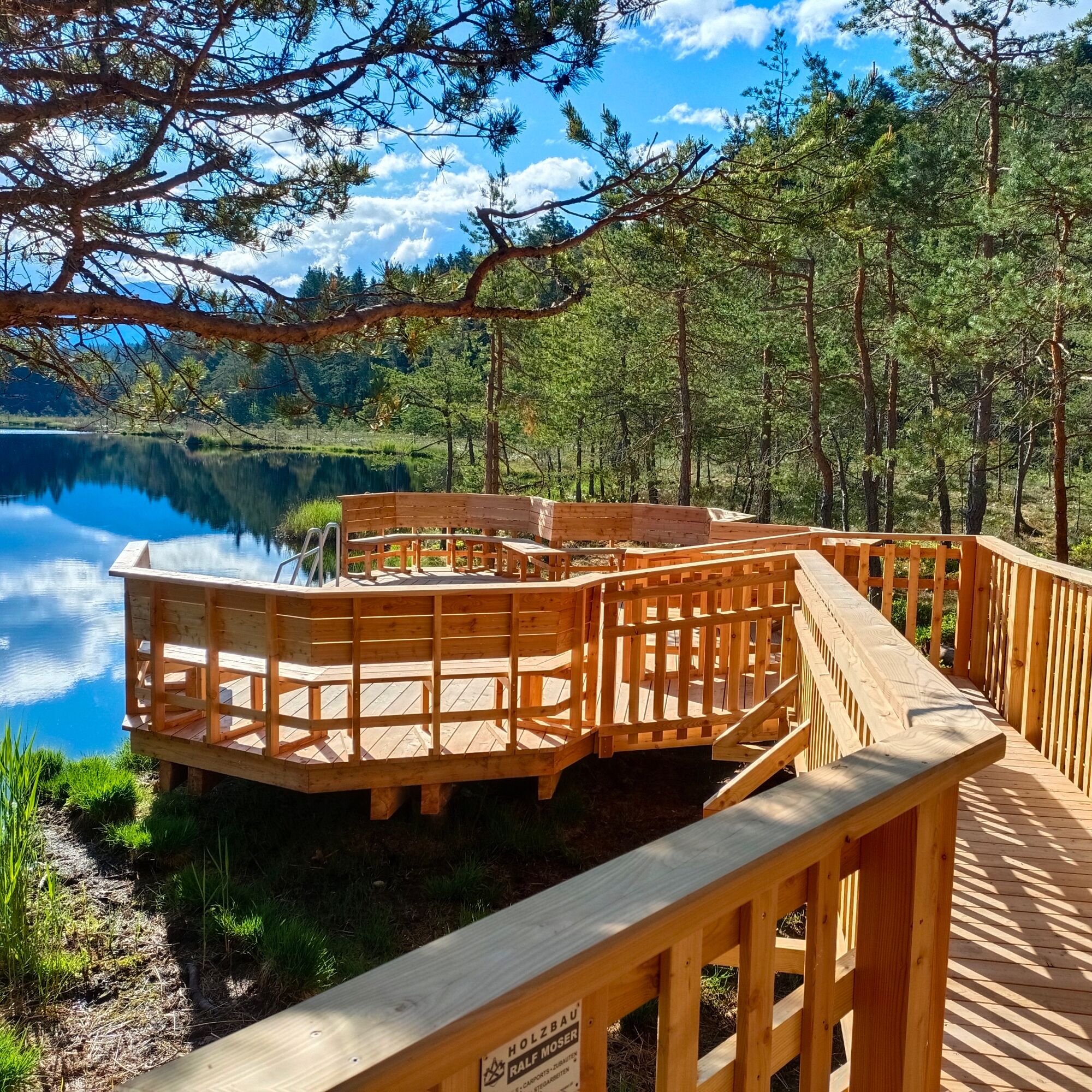
After about 6 km you reach the Egelsee. This natural moor lake is a natural jewel and popular excursion destination.
At Egelsee, always follow the signs for the “Lug ins Land” inn. From the Gasthof Lug into the country via Baldersdorf, Zgurn and Krieselsdorf towards Spittal / Edling.
At Edling it is possible to turn off towards Spittal an der Drau - otherwise continue on a side road with little traffic to the town of St. Wolfgang.
Alternatively, the tour can start at Spittal an der Drau train station. Here you first follow the Ciclovia Alpe Adria / R1 until you reach the intersection with the “Übers Land” road. Turn left here and follow “Übers Land” until the traffic lights. Continue straight ahead to Edling and St. Sigmund Straße. From here the tour is described.
An important prerequisite for a successful bike tour is optimal equipment. The basic equipment includes:
Suitable mountain bike - Recommendation: mountain bike, e-mountain bike, gravel bike
Helmet and goggles
Gloves and protectors
Suitable footwear
Tool and pump
Mobile phone, first aid kit
Emergency numbers:
140 Alpine emergency call 144 rescue emergency number 112 European emergency call (possible from all networks. Switch off the mobile phone and, after switching it on, dial the number “112” instead of the PIN)The route partly leads along public roads and paths. Pay attention to vehicle traffic and observe the Road traffic regulations.
Arrival by train to Spittal an der Drau
The tour can also easily be started from Spittal an der Drau train station. This station is well connected with intercity and regional trains.
Arrival by train to Spittal an der Drau
info@mbn-tourismus.at www.nockbike.at
www.millstaettersee.com/cycling
Further information about themed cycle paths:
Carinthian Lake Loop: https://www.kaernten.at/seenschleife/
Alpe Adria cycle path: https://www.alpe-adria-radweg.com/
Drauradweg: https://www.drauradweg.com/de/
Cycling in Carinthia: https://www.kaernten.at/rad/
Further information on public transport: ÖBB Rail and Bike: https://www.oebb.at/de/regionale-angebote/kaernten/rail-and-bike
nock/bike shuttle: https://www.millstaettersee.com/de/info-service/nockmobil-bikeshuttle.html#bikeshuttle
Stop at the Gasthof Lug ins Land or at the Landhof Simeter
Uzyskaj wgląd
Zawsze na żywo z ponad 9 500 kamer internetowych. bergfex Jako użytkownik Pro, możesz teraz zobaczyć odpowiednie kamery internetowe dla wielu wycieczek w aplikacji wycieczki od. Pozwala to na bezpośredni podgląd aktualnych warunków.
Popularne wycieczki w okolicy
-
5,0
Bella Vista auf Hohe Leier
średniVia ferrata 15,6 km -
4,8
Enzian-Granatsteig & Almbrunn Steig
światłoWędrówka 8 km -
4,8
Parkplatz Seetal - STAFF und retour
średniWędrówka 13,2 km -
4,8
Lammersdorfer Hütte, Granattor Runde
światłoWędrówka 9,85 km -
4,6
Millstätter See cycle track
średniJazda na rowerze 27,7 km -
4,7
H-2-O Höhenweg
światłoTrasa tematyczna 5,40 km -
4,8
Nockhöhensteig
średniWędrówka 7,67 km -
4,3
Wycieczka nad jezioro karłowate Millstatt
światłoWędrówka 4,01 km -
5,0
Bergfried Hütte, Stoder 2433, Gmeineck 2592
ciężkiWędrówka 8,23 km -
4,4
Tschiernock, Hochpalfennock, Tschierwegernock, nock nock nock ... ;)
światłoWędrówka 10,4 km
Wędrówki i tropienie


Nie przegap ofert i inspiracji na następne wakacje
Twój adres e-mail została dodana do listy mailingowej.





