


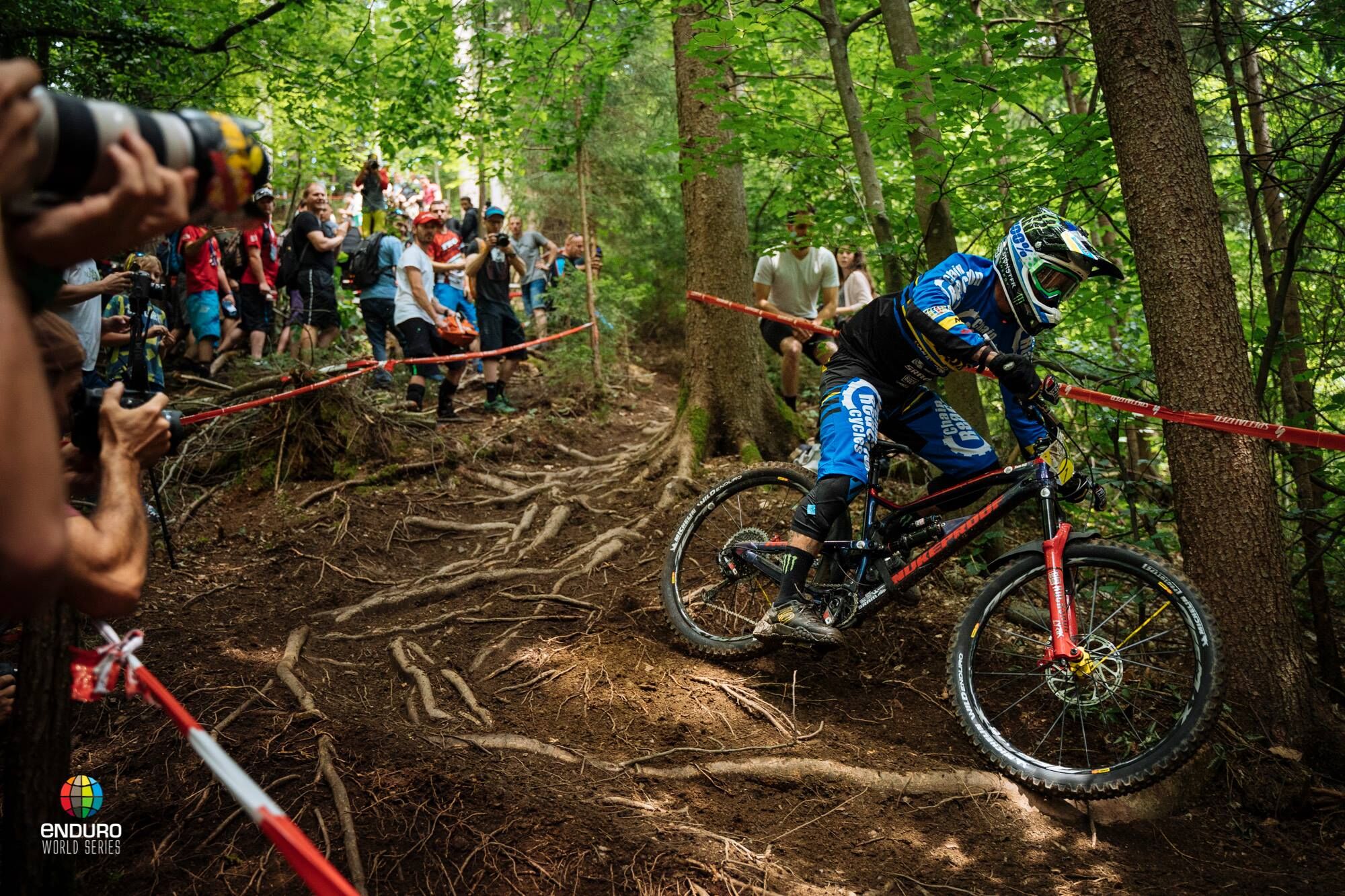
EWS Trail - MTB ZONE Bikepark Petzen
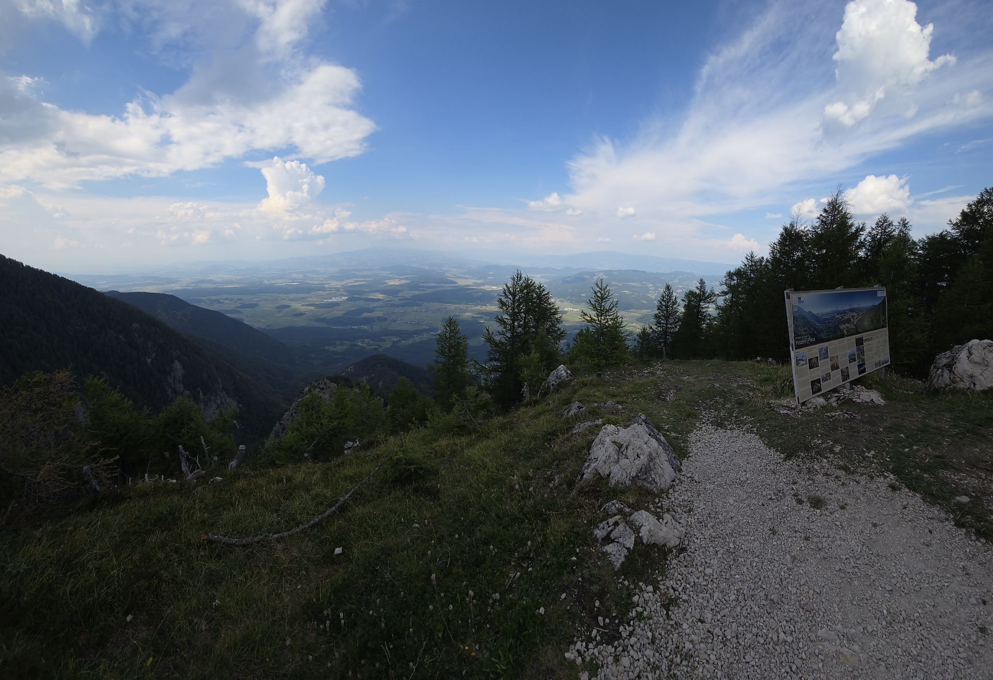
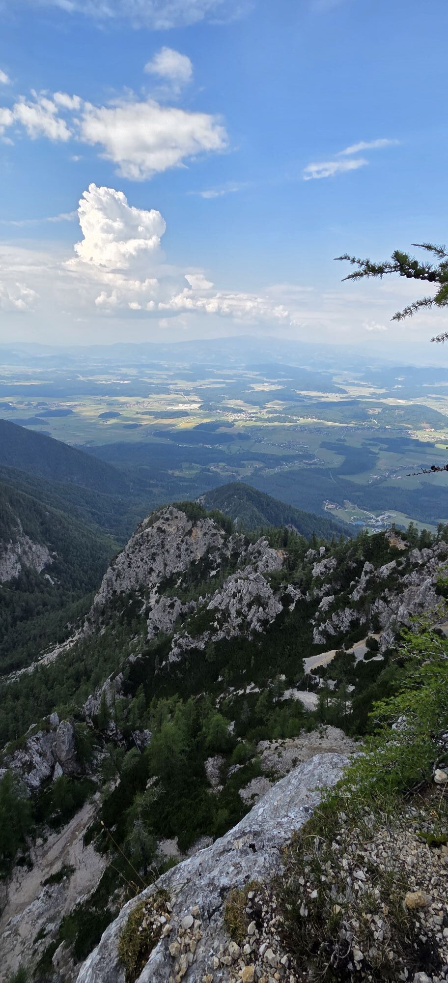
A real challenge is the EWS Trail, which was specially built for the Enduro World Series 2018. At the Enduro World Cup, it formed the demanding final stage that was highly praised by the riders. From the...
A real challenge is the EWS Trail, which was specially built for the Enduro World Series 2018. At the Enduro World Cup, it formed the demanding final stage that was highly praised by the riders. From the mountain station, the EWS Trail forms a roughly one-kilometer-long variant of the Thriller and then flows into the Thriller. In the valley area, it branches off and forms another two-kilometer alternative line.

From the mountain station, follow the signage for the EWS Trail. The EWS Trail is a roughly one-kilometer-long variant of the Thriller and then flows into the Thriller. In the valley area, it branches off and forms another two-kilometer alternative line.
Protectors: protectors and helmet mandatory
Protectors: protectors and helmet mandatory
Suitable for eMountainbikes
Suitable for hardtails
Not suitable for dirt bikes
This route is not suitable for children and inexperienced mountain bikers
www.mtbzone-bikepark.com/petzen/strecken/ews-trail/
www.klopeinersee.at
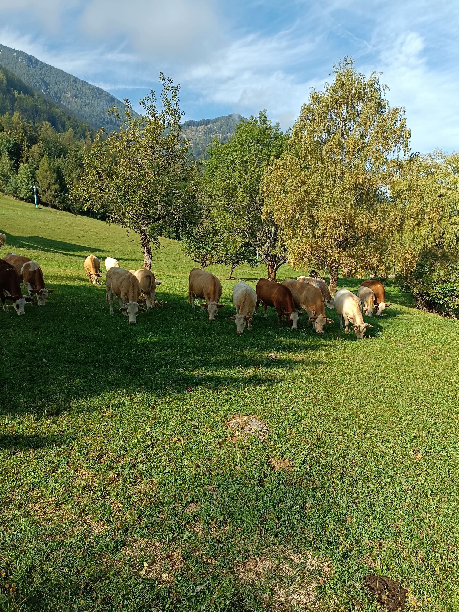
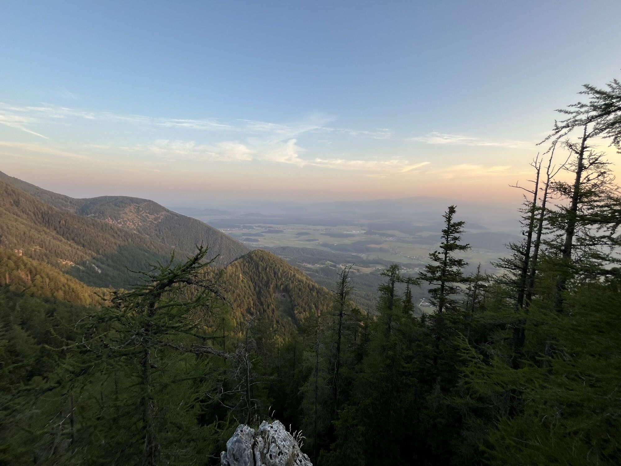
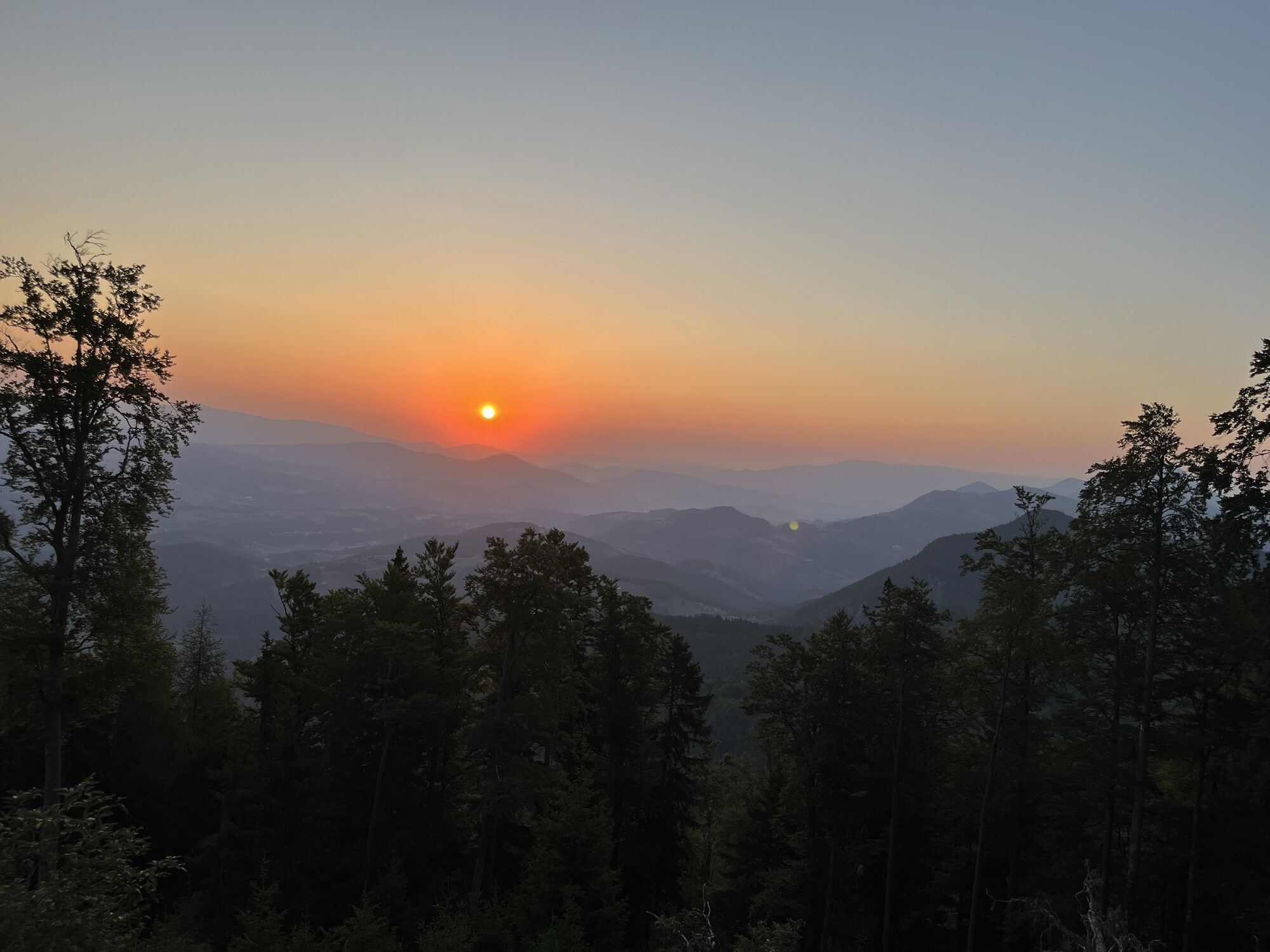
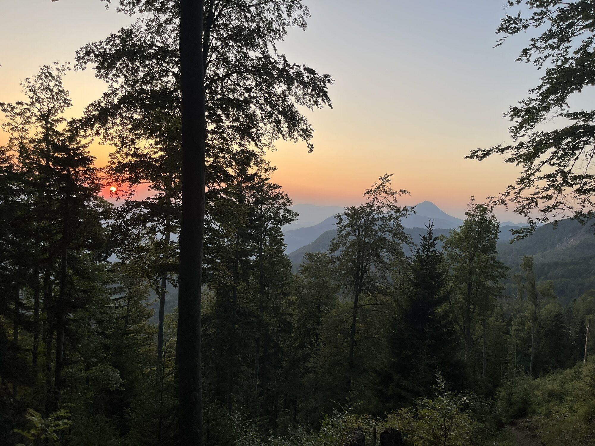
Stop at one of the cozy huts on the Petzen! Be sure to sample the regional Carinthian specialties!
Kamery internetowe z trasy
Popularne wycieczki w okolicy
- 4,2
6-lake cycle tour in southern Carinthia
średniJazda na rowerze 53,8 km - 3,7
Upper Petzen circular route
średniWędrówka 7,30 km - 4,6
Flow Country Trail - MTB ZONE Bikepark Petzen
średniMountainbike 10,7 km - 4,9
Oistra, Eisenkappel,Kärnten
ciężkiWycieczki górskie 6,32 km - 4,5
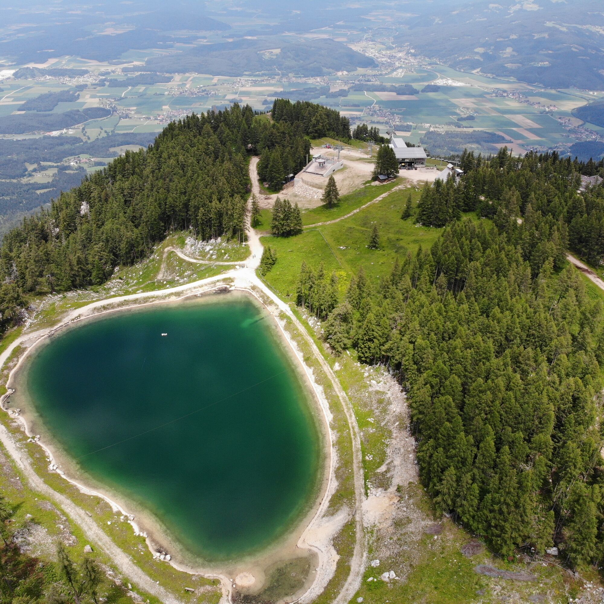
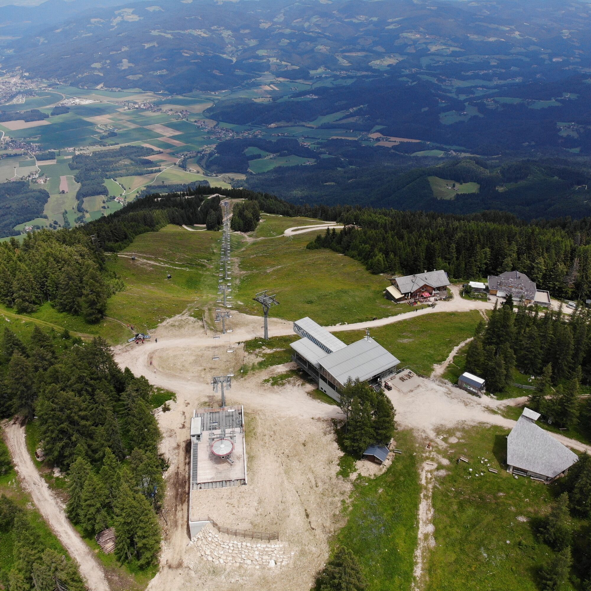
Petzen
średniWycieczka narciarska 13,3 km - 4,2
Felsentore, St. Leonhard, Kupitzklamm
ciężkiWędrówka 15 km - 4,3
Ante Pante Runde Bad Eisenkappel, Österreich
światłoWędrówka 5,37 km - 5,0
Völkermarkt: Feistritzer Spitze
Wędrówka 10,1 km - 4,8
Wanderung auf den Knieps
światłoWędrówka 5,49 km - 4,0
Kordeschkopf 2.126m, Knieps 2.110m, Feistritzer Spitze (Hochpetzen) 2.113m & Wackendorfer Spitze 2.079m im Petzenland
ciężkiWędrówka 20,9 km
Wędrówki i tropienie


Nie przegap ofert i inspiracji na następne wakacje
Twój adres e-mail została dodana do listy mailingowej.