






Flow Country Trail Bad Kleinkirchheim
Poziom trudności: S1
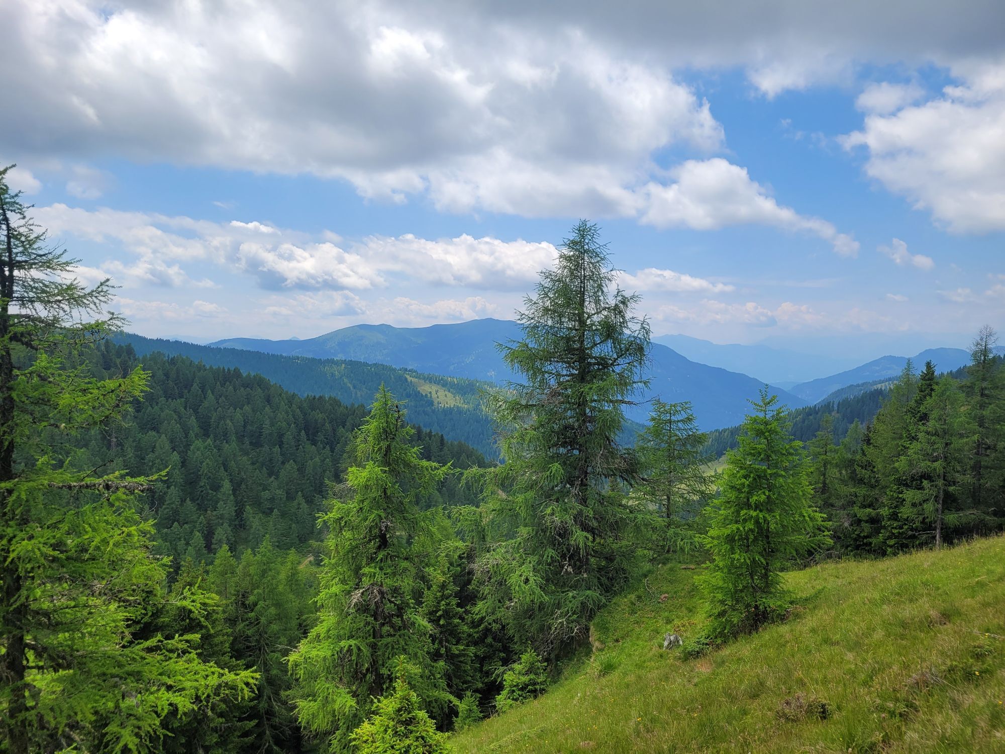
The route
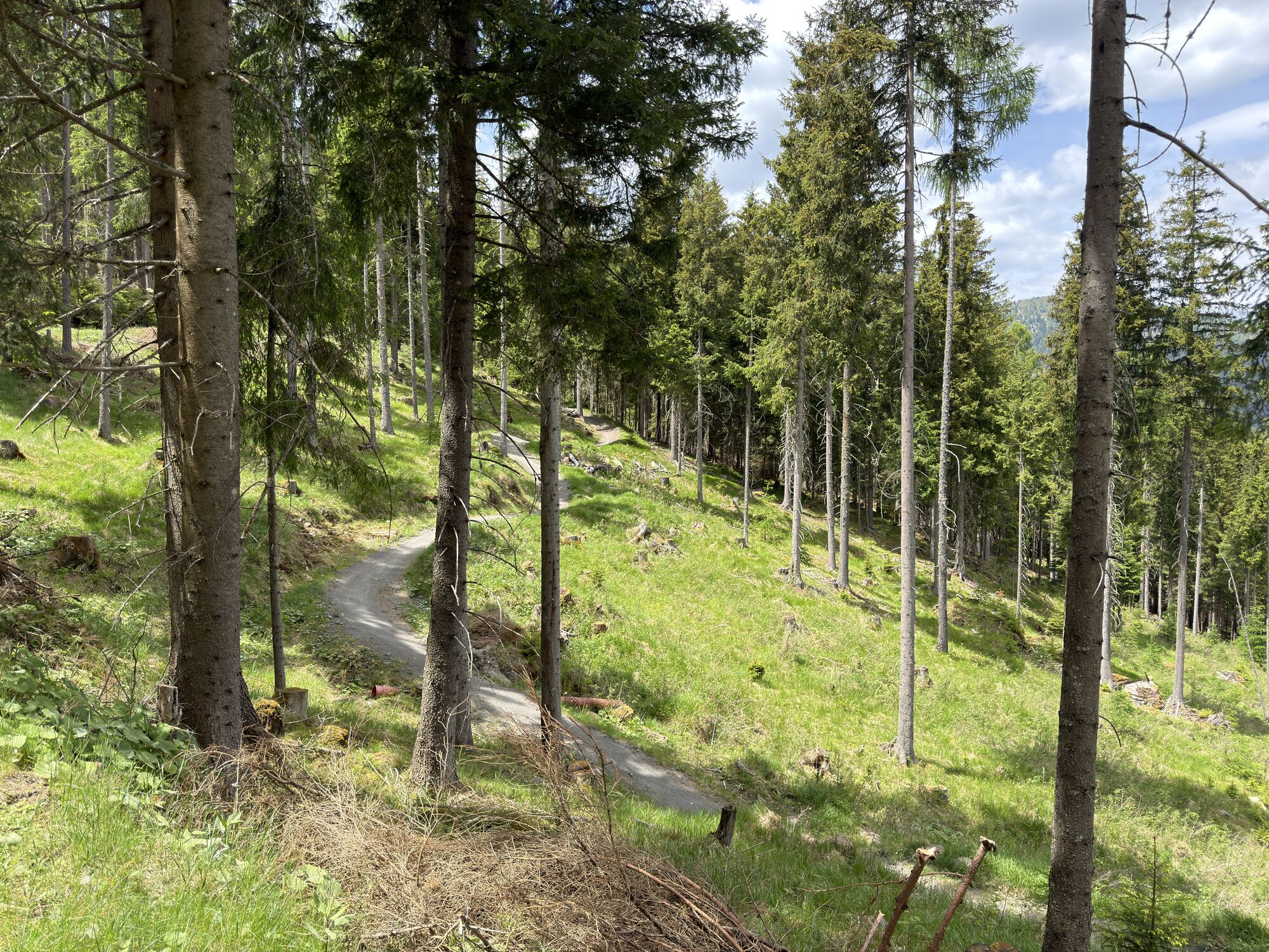
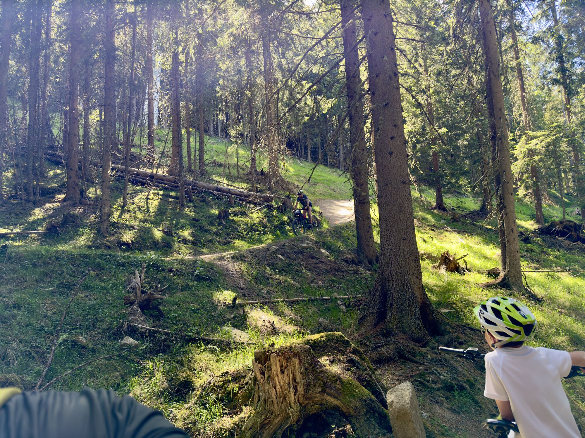
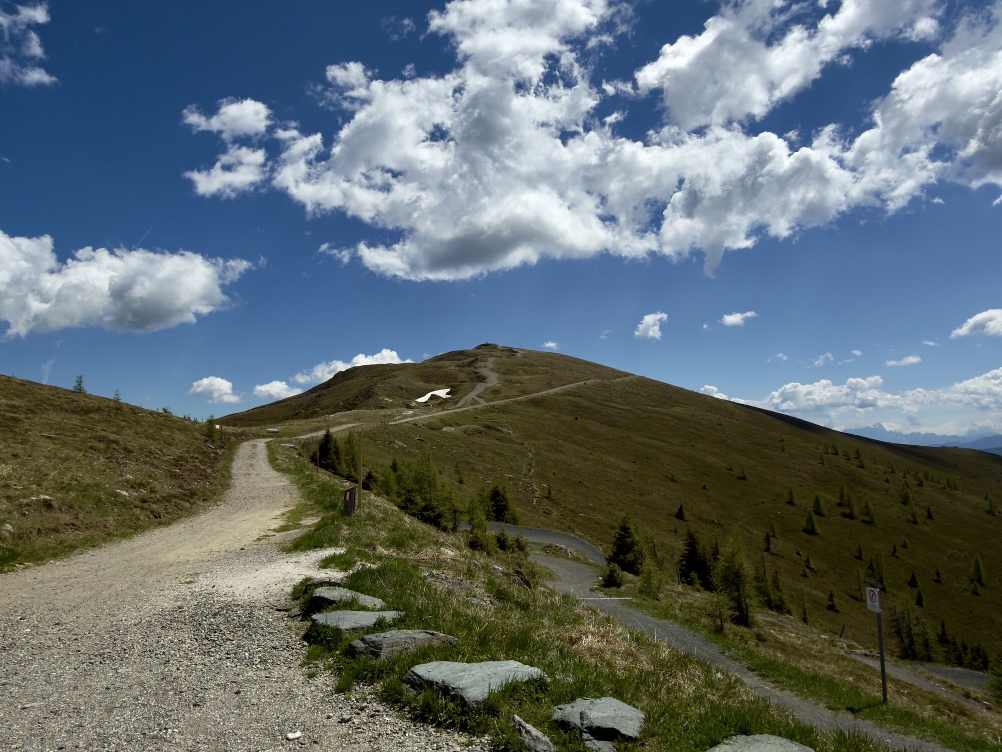
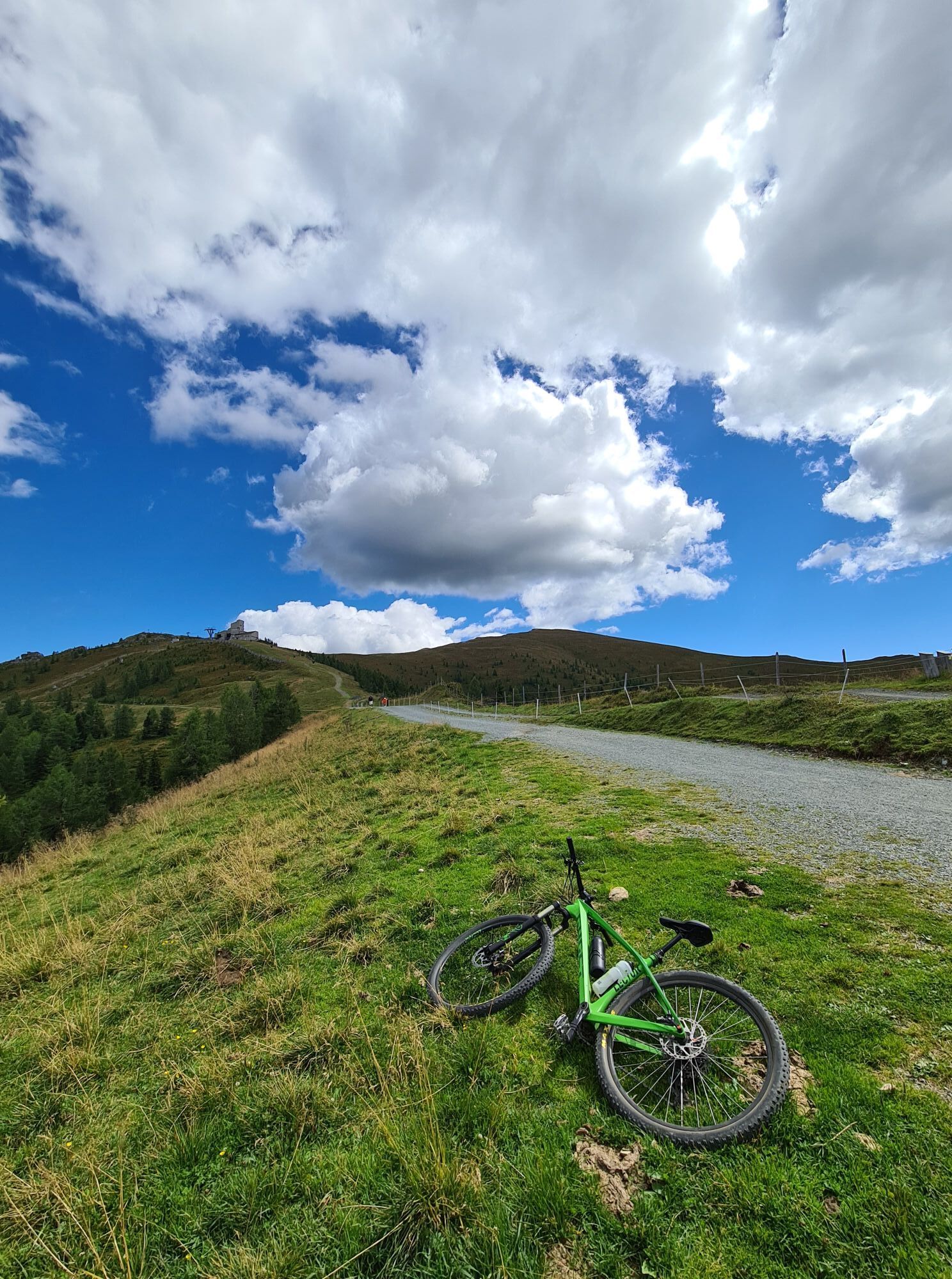
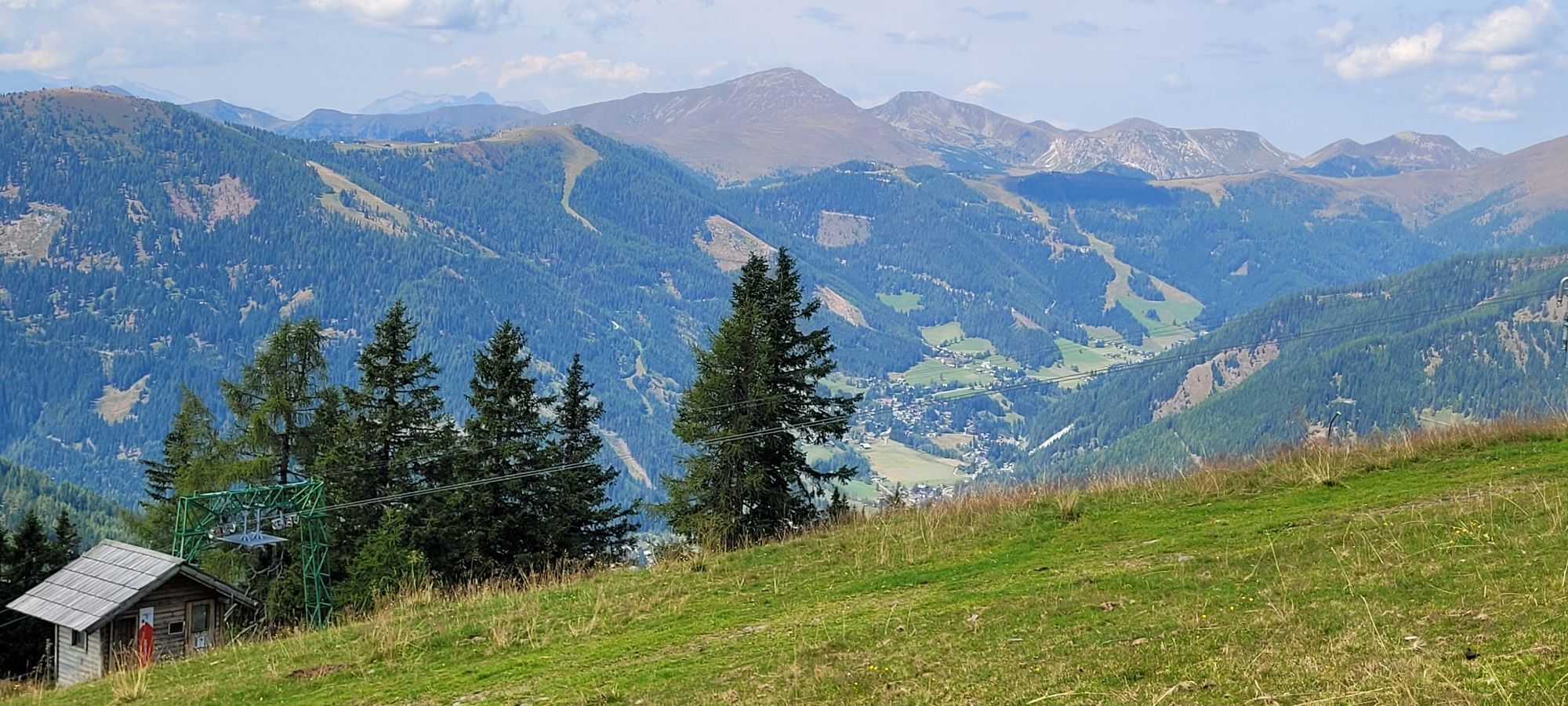
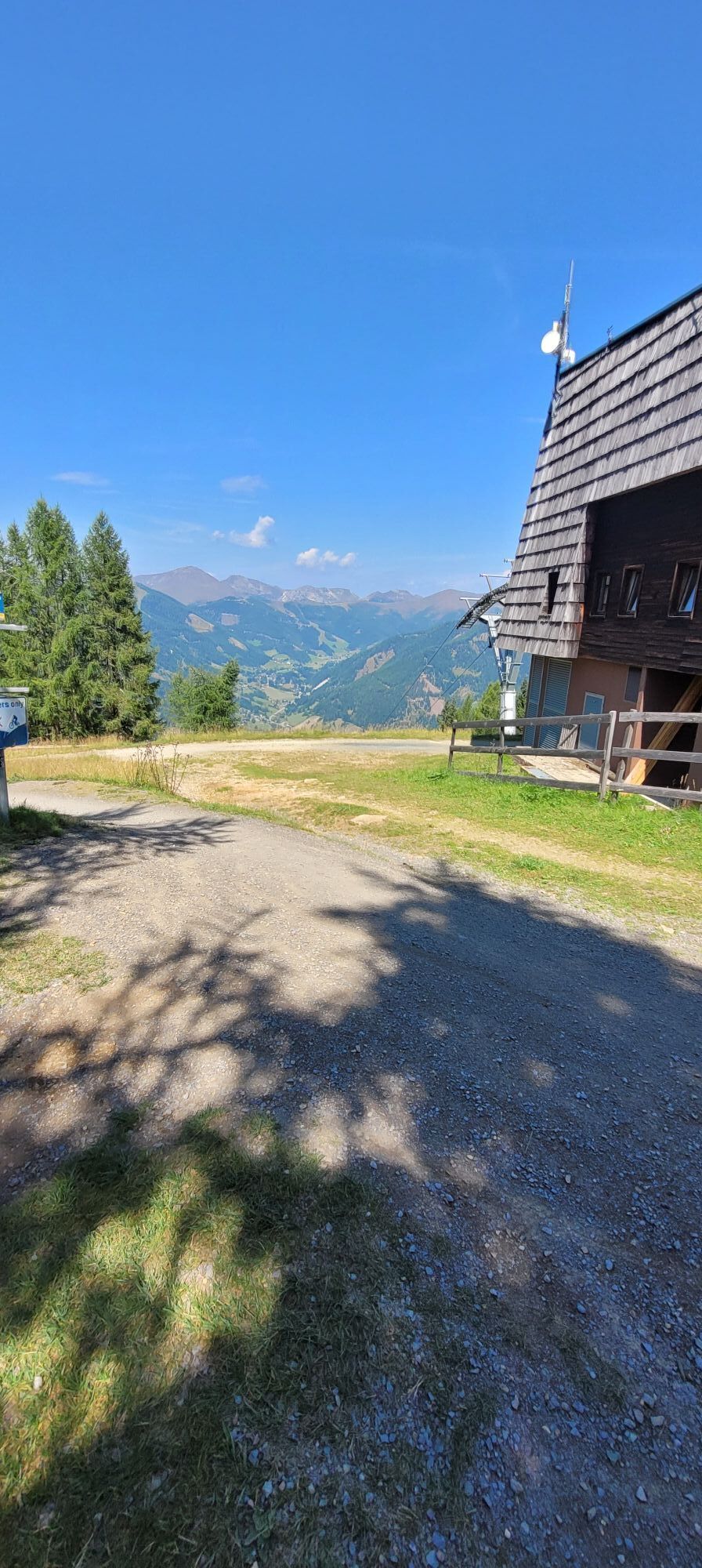
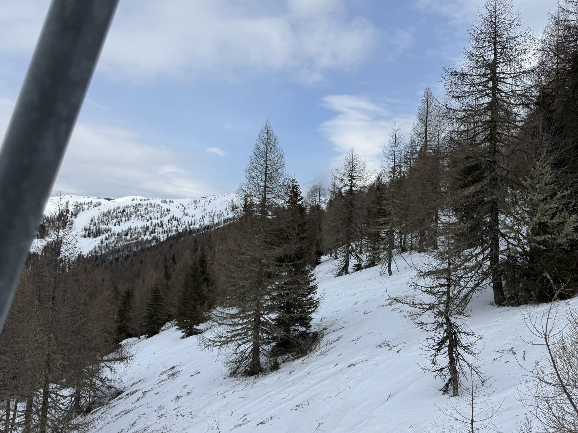
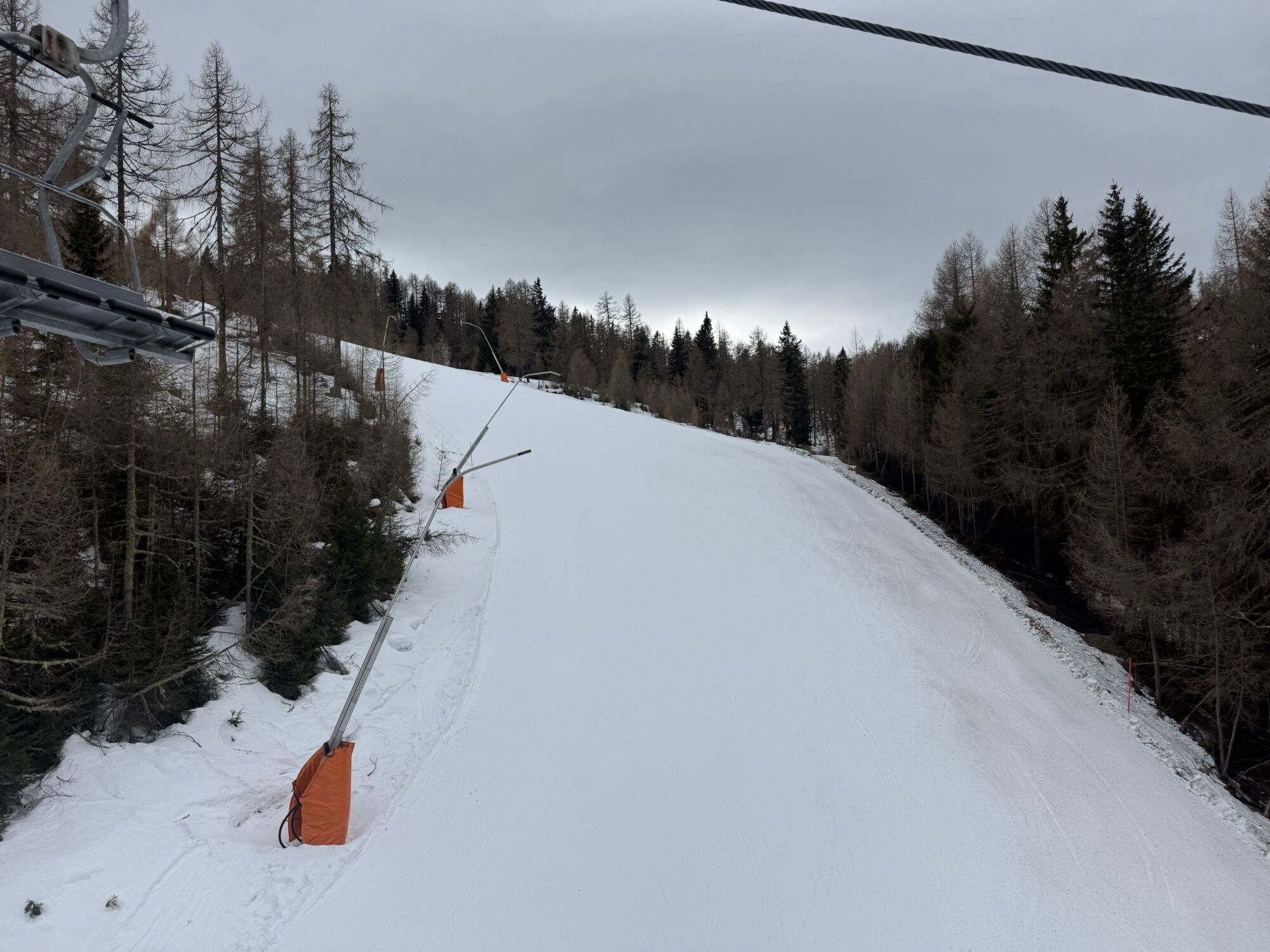
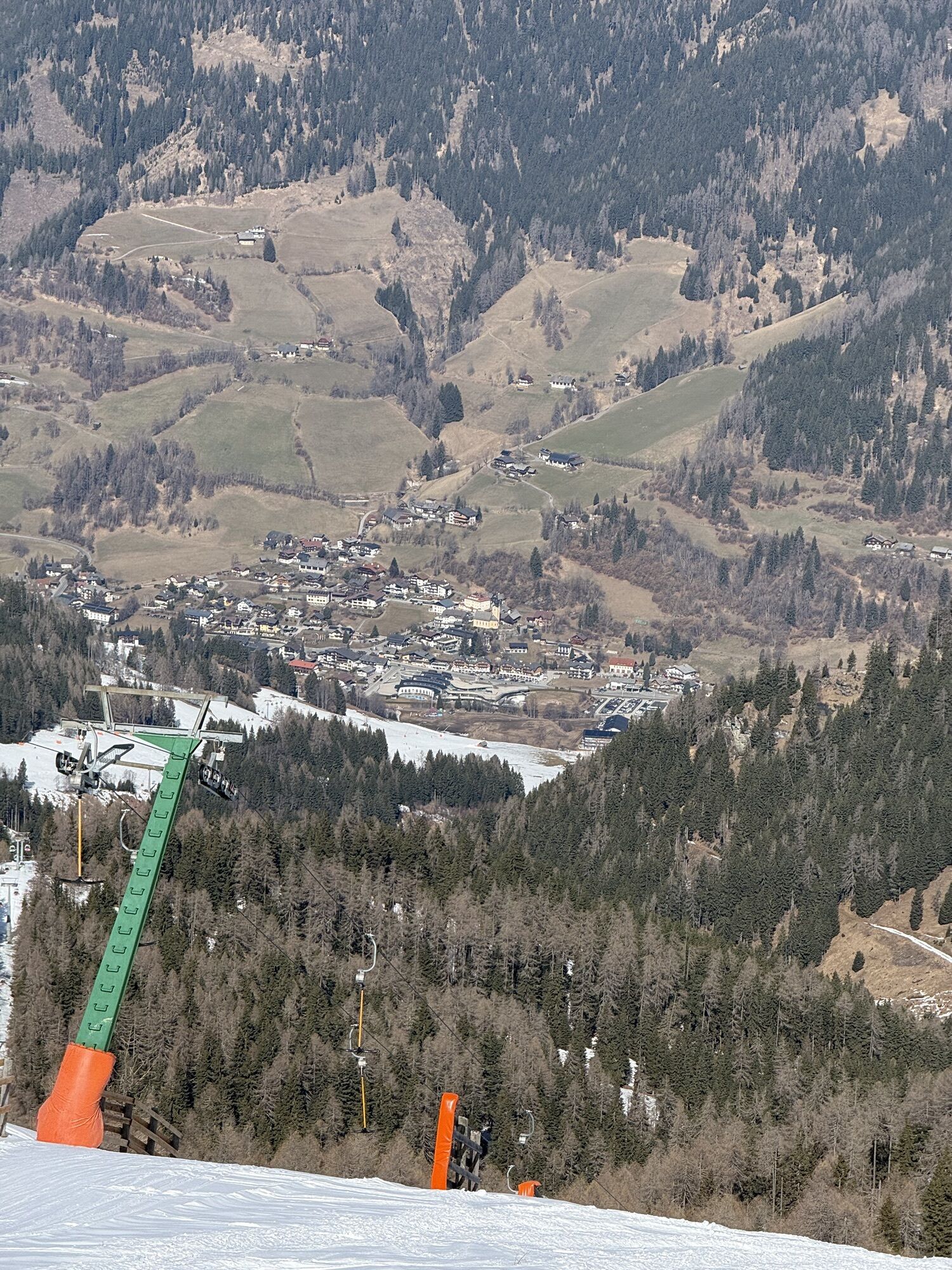
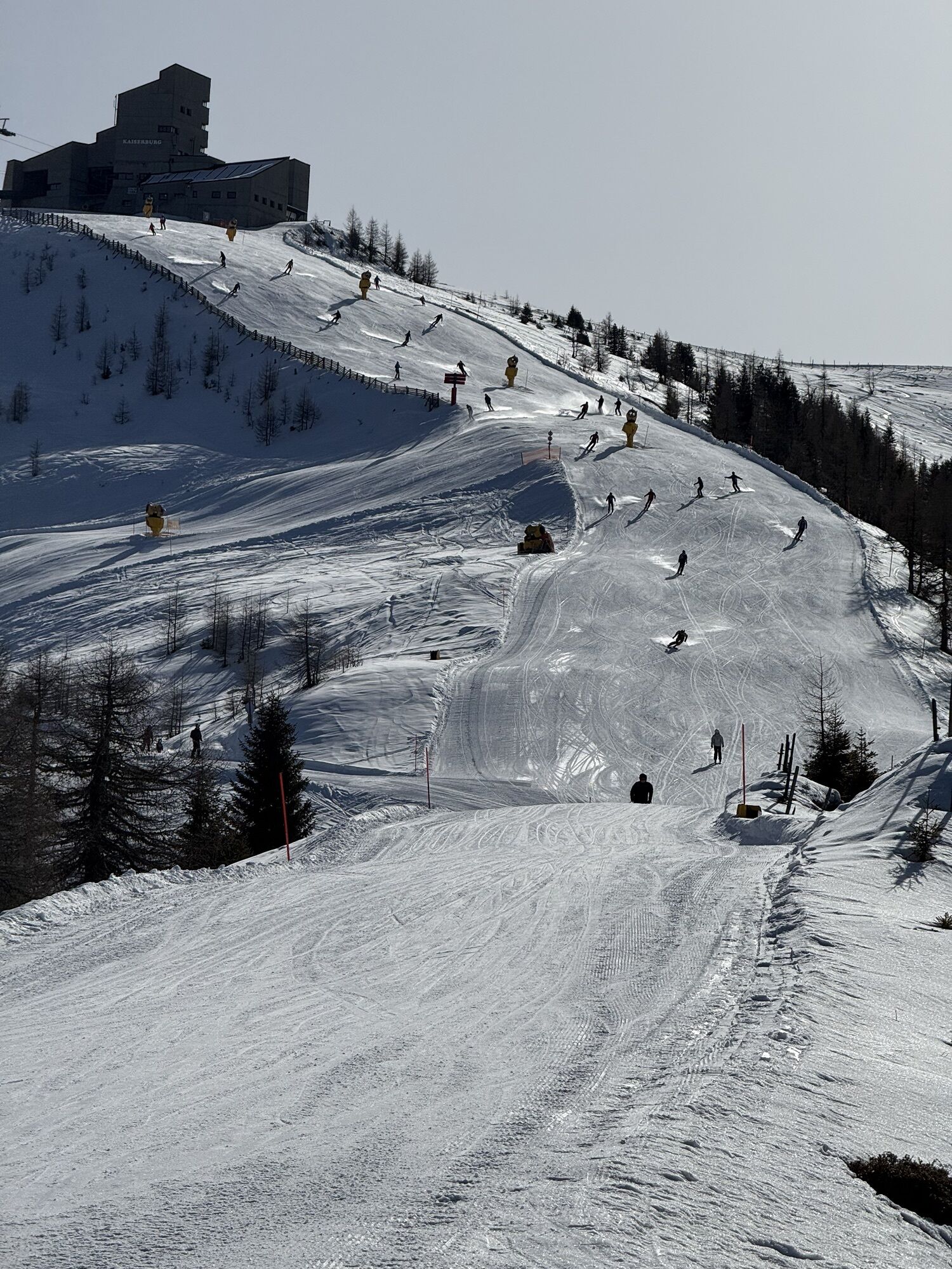
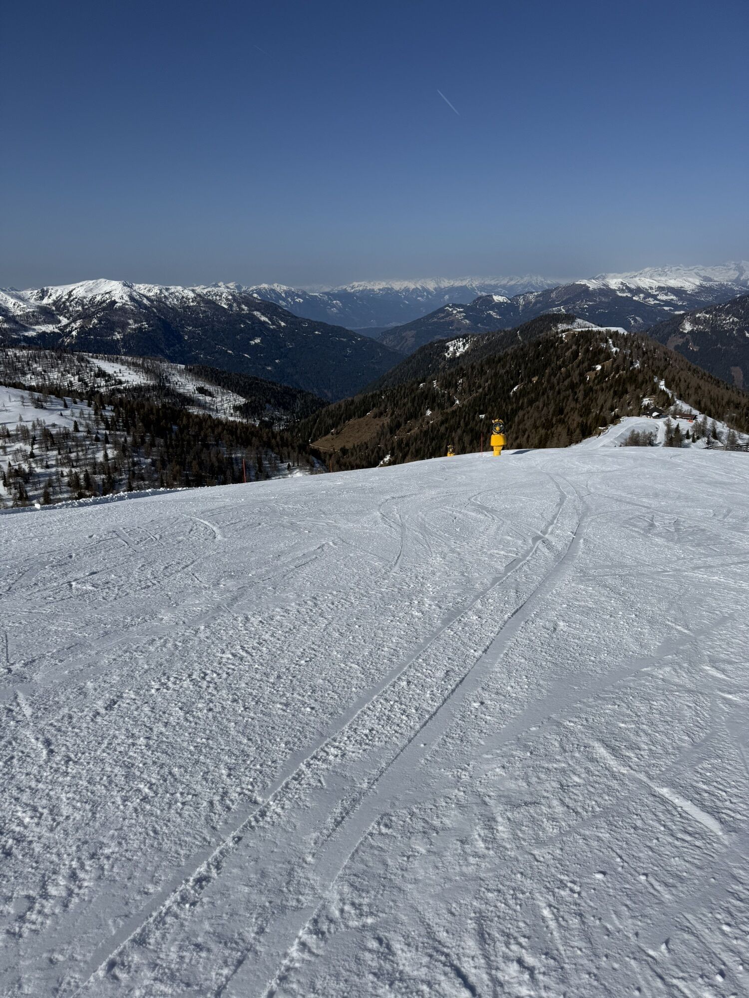
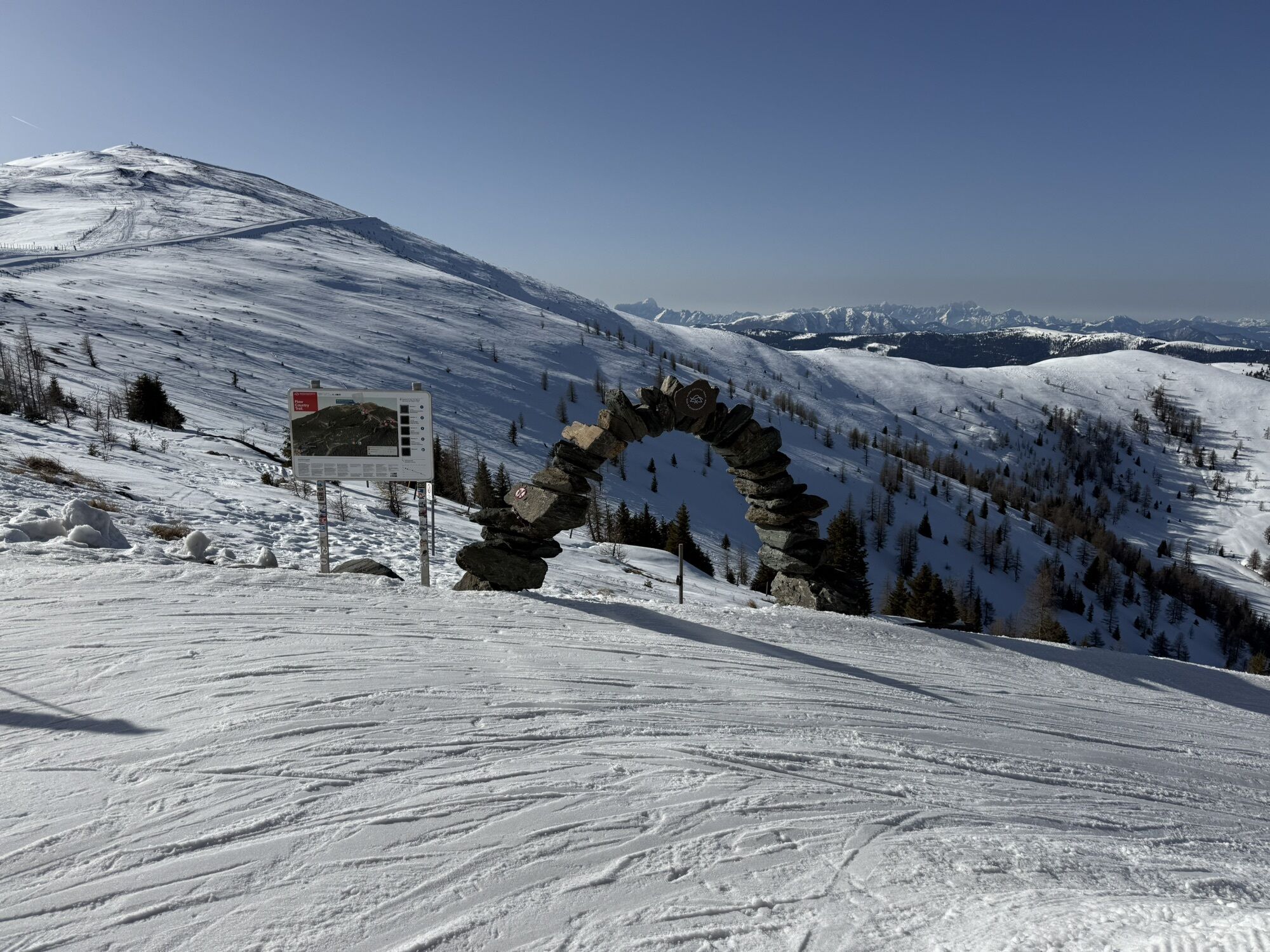
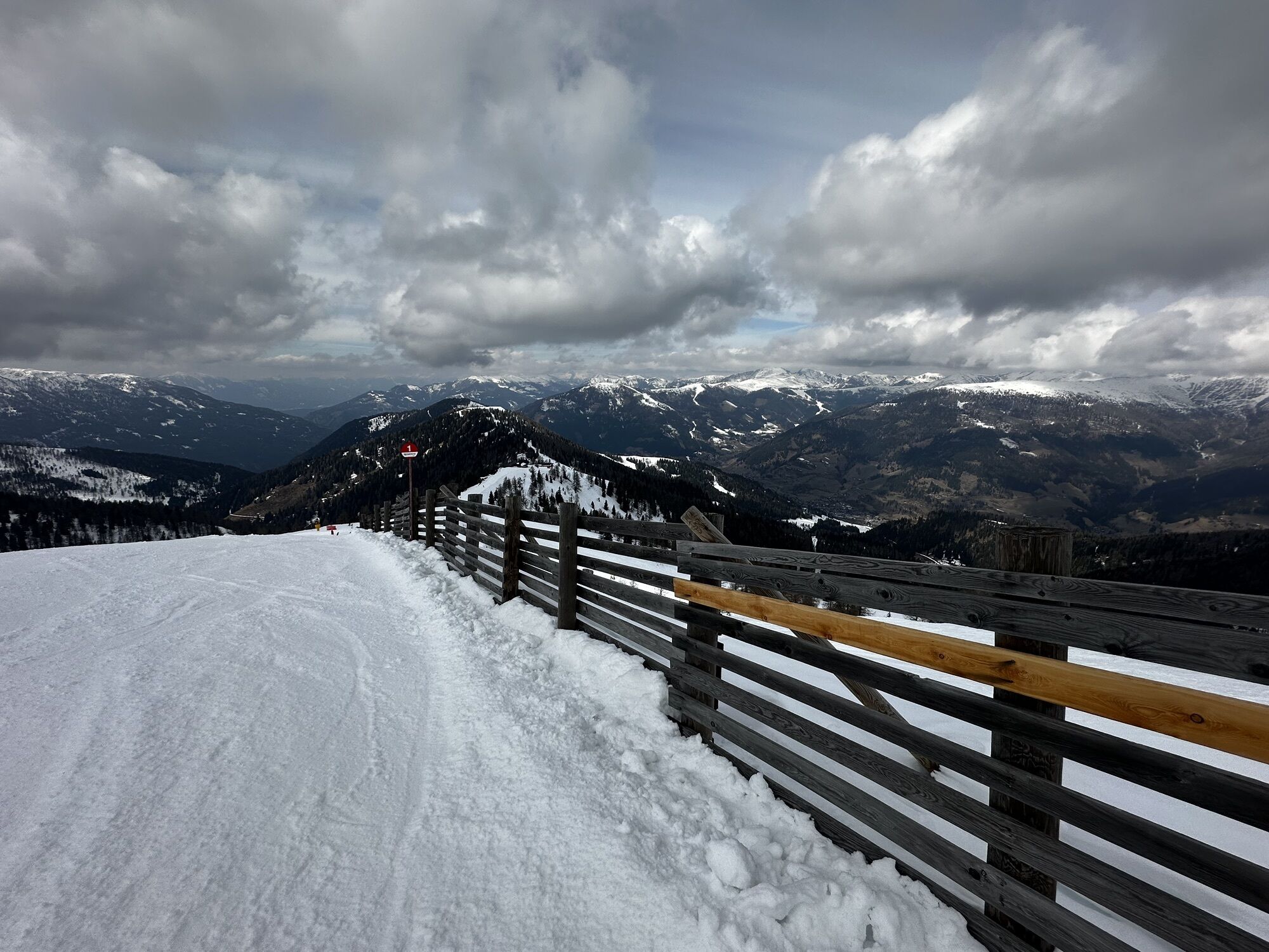
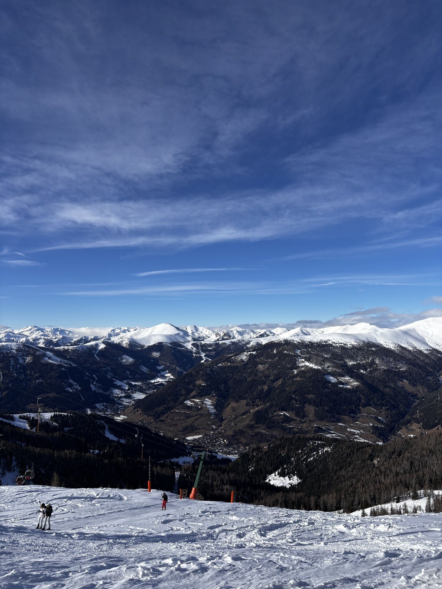
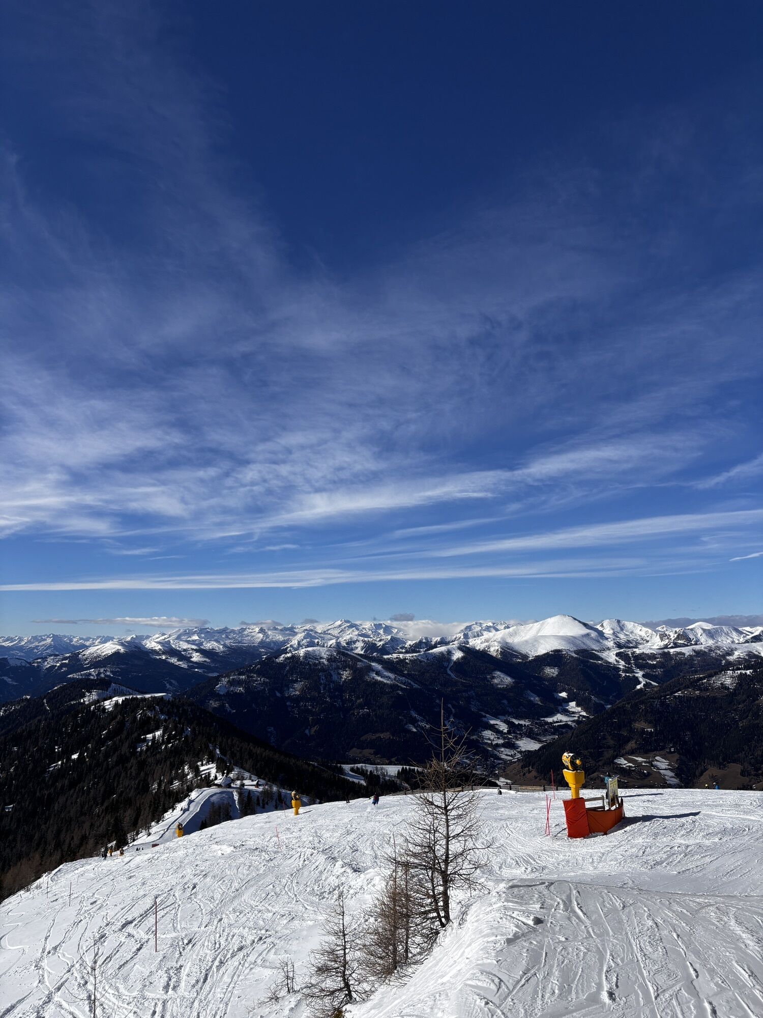
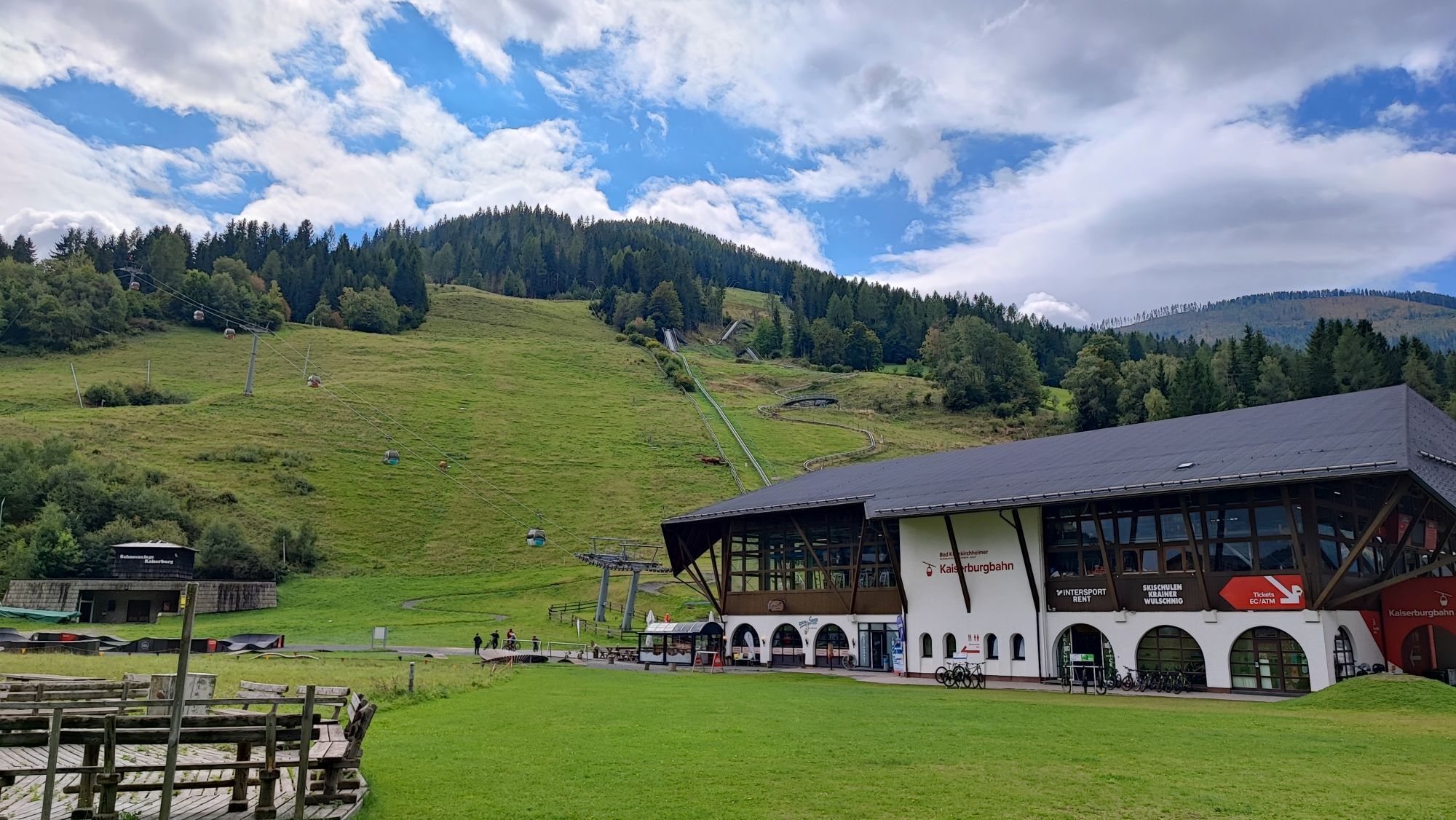
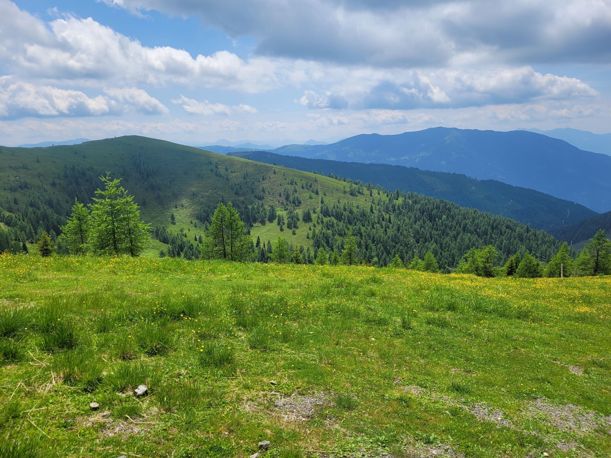
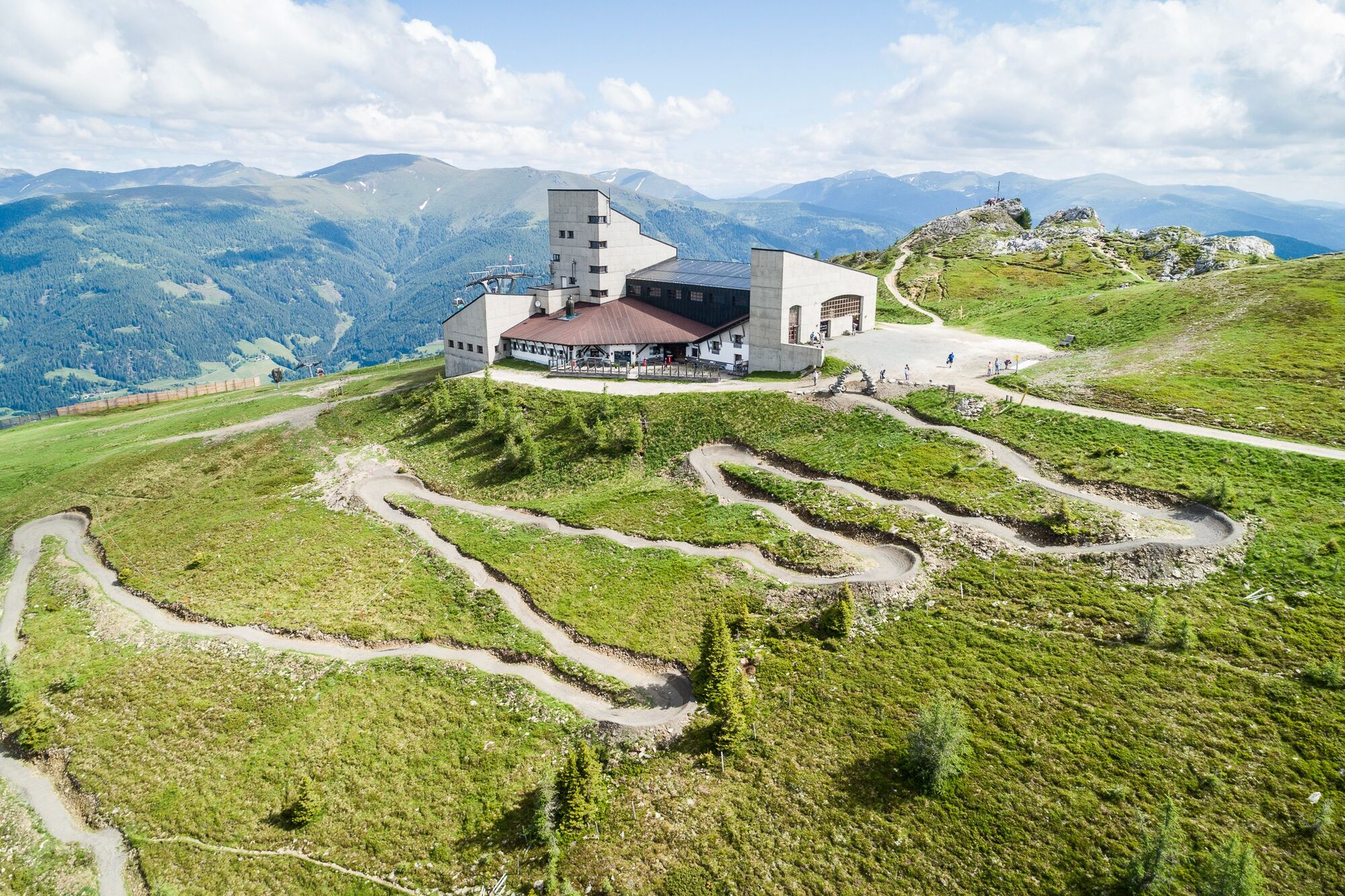
The panoramic mountain bike route starts at the Kaiserburg Mountain Station and winds along the ridge as well as through forest areas to the Kaiserburg Valley Station.
The trail, fixed with gravel...
The route
The panoramic mountain bike route starts at the Kaiserburg Mountain Station and winds along the ridge as well as through forest areas to the Kaiserburg Valley Station.
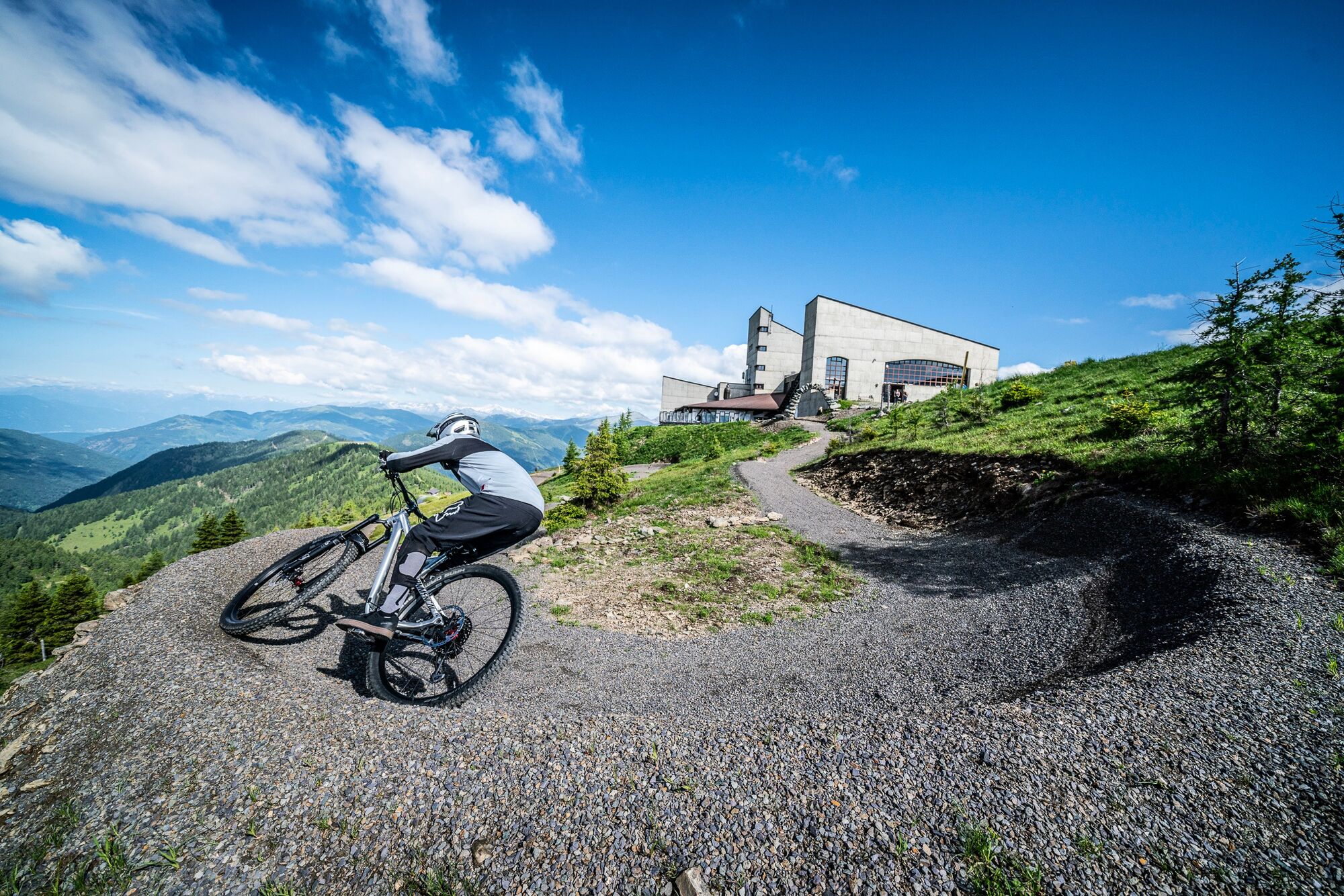
The trail, fixed with gravel and equipped with rollers, small drops and individual steep curves, offers fun for everyone.
Depending on skill, the biker independently determines their acceleration by approaching the individual steep curves.
Short pit stops and breaks at marked rest areas & huts
Along the trail there are comfortable, furnished rest areas for a short pause. These are specially marked and
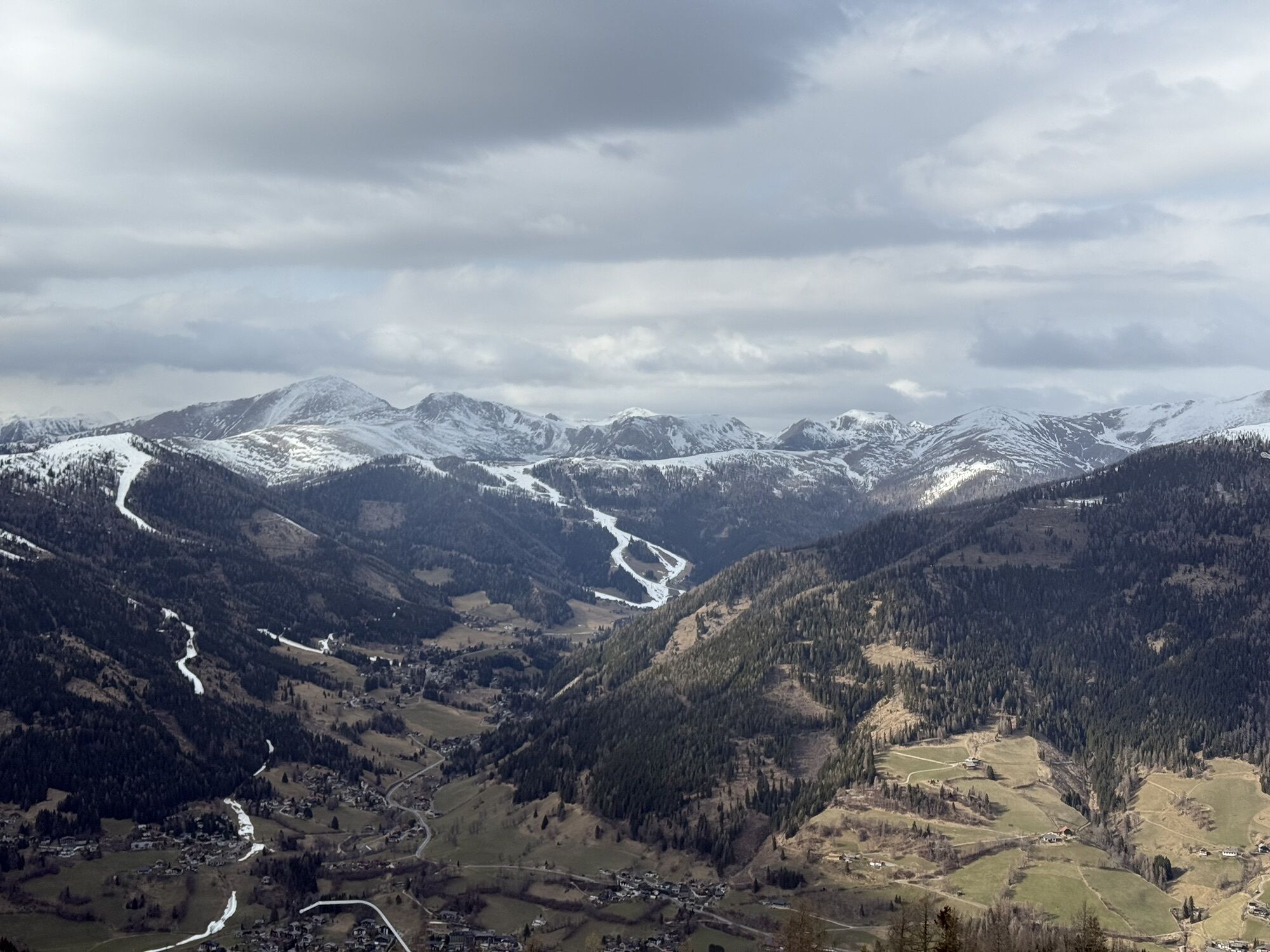
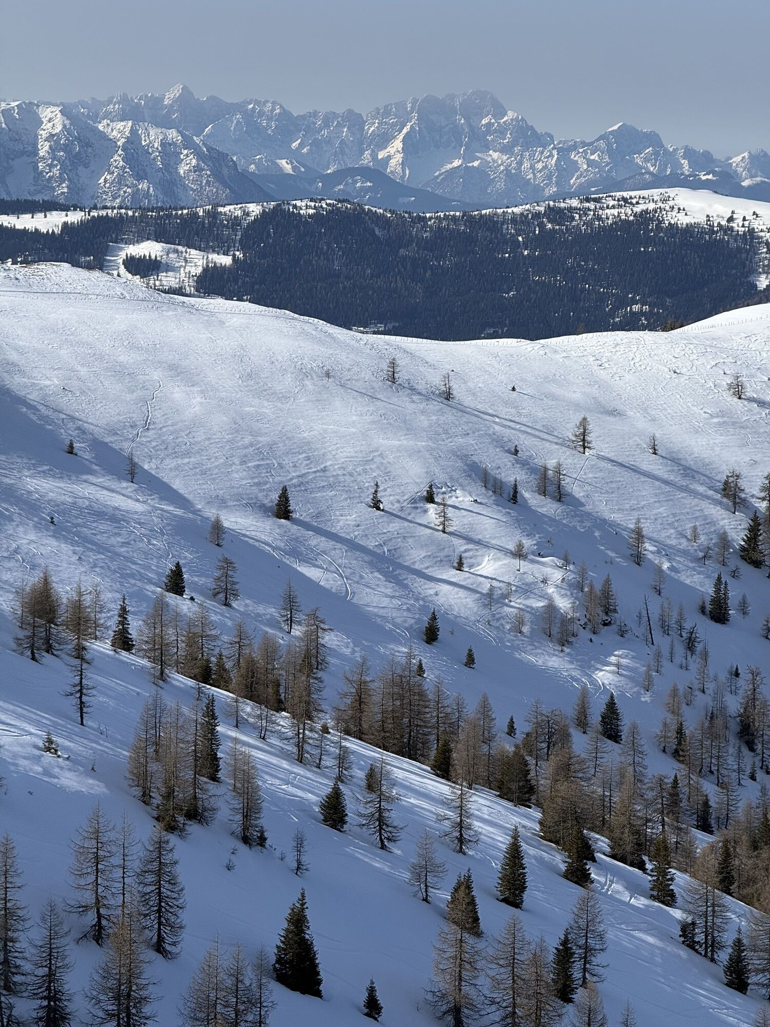
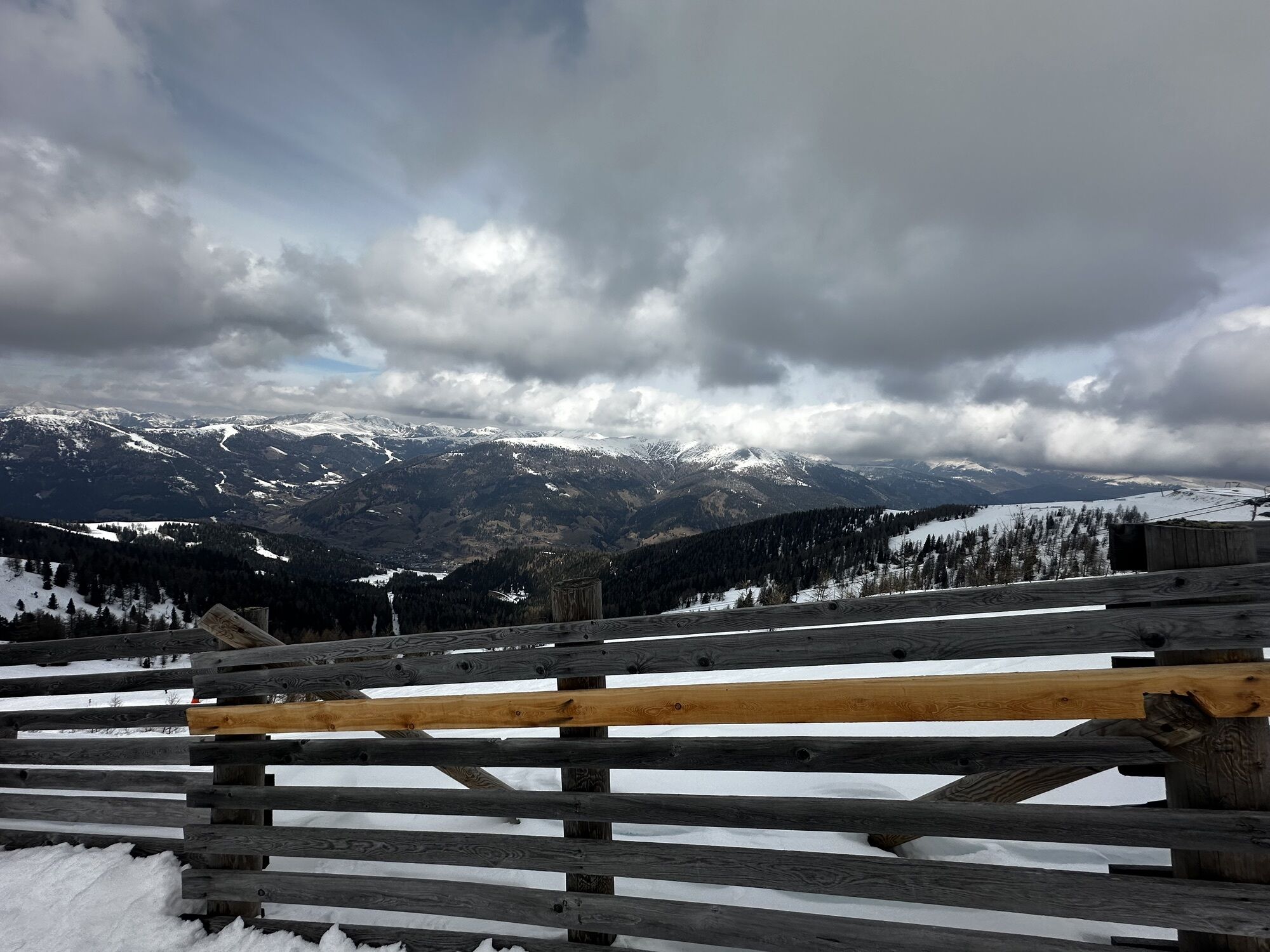
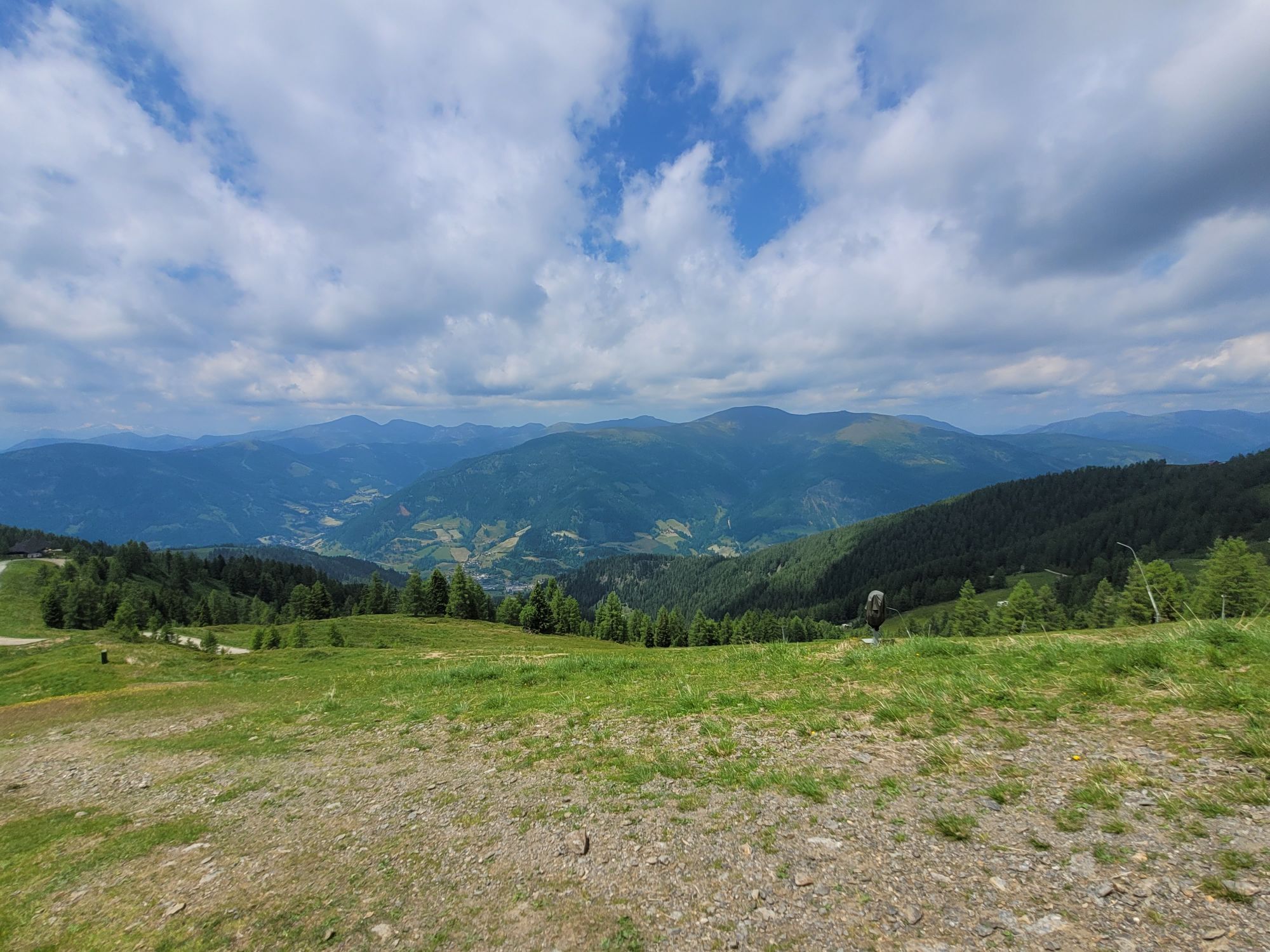
located in the middle of section 2 and section 4. Panoramic views of the Carinthian mountain world can be enjoyed here. The open huts along the entire route provide culinary refreshment.

Coordinates Start Point Kaiserburgbahn Mountain Station
Lat: 46° 47' 0.2112"(N)
Lon: 13° 49' 36.282"(E)
Coordinates End Point Kaiserburgbahn Valley Station
Lat: 46° 48' 44.6004"(N)
Lon: 13° 47' 55.626"(E)
Basic skills
Appropriate riding skills and basic fitness are essential for a pleasant and safe ride. When braking, it is especially important to use only one finger, distribute braking force correctly, and adjust the basic position.
The bike used
Must be adapted to the track conditions and well maintained. A freeride or downhill bike is best suited. Tip: Protective gear and bikes can be rented or purchased at rental stations.
Rules for trail biking
1. Basic skills!
Appropriate riding skills and basic fitness are essential for a pleasant and safe ride. When braking, it is especially important to use only one finger, distribute braking force correctly, and adjust the basic position.
2. Wear protective gear!
Helmet, protectors on back, elbows and legs as well as gloves are mandatory.
3. The bike used!
Must be adapted to the track conditions and well maintained. A freeride or downhill bike is best suited. Tip: Protective gear and bikes can be rented or purchased at rental stations.
4. Only marked trails!
Observe riding and riding bans. Paths not marked as "bike trails" must not be ridden. Observe nock/bike map.
5. Ride with sight and consider other bikers!
Speed and riding style must be chosen according to your own skill and always adapted to the terrain, weather conditions and "traffic density".
6. Mountain bikers coming from behind!
Must always choose their lane so that they do not endanger slower bikers ahead.
7. Being overtaken!
This is generally permitted. But always with a distance that leaves enough room for the overtaken for all movements.
8. After a fall!
Leave the crash site as quickly as possible! In general, it is not allowed to stay at tight or unclear spots on the trails without good reason.
9. To stop!
Choose a clear spot and leave the trail immediately.
10. Walking, hiking and climbing uphill on the "FLOW COUNTRY TRAIL" is strictly prohibited!
Other options are always available for this.
11. Be considerate of hikers on "natural single trails"!
On natural single trails, you must be considerate of others and only overtake at walking pace.
12. Pasture gates and doors!
Should always be closed, please pay attention to this.
13. First aid!
First aid is mandatory in the event of an accident; emergency kits are available in sports shops.
14. Good riding technique!
Increases fun and safety, and reduces the risk of accidents. Professionals recommend technical training before riding the Flow Country Trail and natural trails.
15. Get information and tips from specialists!
nock/bike Competence Center
Krainer family
Sonnenstraße 5
9544 Feld am SEE
Tel.: +43 4246 3188
Access via A2 South Motorway, exit Klagenfurt Nord to Feldkirchen; via B95 to Patergassen, turn left onto B88 and follow the road to Bad Kleinkirchheim
Access via A10 Tauern Motorway, exit Spittal-Millstätter See junction via B98 to Radenthein, then switch to B88 and follow the road to Bad Kleinkirchheim
Access via A10 Tauern Motorway, exit Villach-Ossiacher See via B98 to Radenthein, then switch to B88 and follow the road to Bad Kleinkirchheim
Free parking spaces at the Kaiserburg Valley Station and the Thermal Römerbad
S1
More information about the Flow Country Trail:
www.badkleinkirchheim.com
More information about the Bad Kleinkirchheim region can be found here:
www.badkleinkirchheim.at
More information on rental options in Bad Kleinkirchheim can be found here:


Kamery internetowe z trasy
Uzyskaj wgląd
Zawsze na żywo z ponad 9 500 kamer internetowych. bergfex Jako użytkownik Pro, możesz teraz zobaczyć odpowiednie kamery internetowe dla wielu wycieczek w aplikacji wycieczki od. Pozwala to na bezpośredni podgląd aktualnych warunków.

Popularne wycieczki w okolicy
-
4,5
Turracher 3 Seen Weg - Weg der Sinne zwischen Berg & See
światłoTrasa tematyczna 7,15 km -
4,8
Schoberriegel - Schönebennock -
światłoWędrówka 9,88 km -
4,8
4 Huts route
średniWędrówka 8,96 km -
4,8
Enzian-Granatsteig & Almbrunn Steig
światłoWędrówka 8 km -
4,8
Nockbergrundwanderweg
średniWędrówka 6,62 km -
4,8
Große Rosennock Runde
Wędrówka 9,80 km -
4,9
St. Oswald - Circular hike - Mallnock - Klomnock
średniWędrówka 10,9 km -
4,8
Lammersdorfer Hütte, Granattor Runde
światłoWędrówka 9,85 km -
4,6
Falkertsee - Sonntagstal - Falkert
średniWędrówka 4,84 km -
4,7
Falkert, Murmelsteig B/C mit Direktem Abstieg
średniVia ferrata 3,61 km
Wędrówki i tropienie


Nie przegap ofert i inspiracji na następne wakacje
Twój adres e-mail została dodana do listy mailingowej.





