







Sandy Trail - T80 (Jumpline)
Poziom trudności: S2
The Sandy Trail - T80 is a mountain bike trail for advanced riders, which also offers great fun for very skilled bikers. It is characterized by its natural construction combined with plenty of jumps and...
The Sandy Trail - T80 is a mountain bike trail for advanced riders, which also offers great fun for very skilled bikers. It is characterized by its natural construction combined with plenty of jumps and airtime. Fabulous views of the emerald-green Lake Ossiach are included. The trailhead can be reached either via MTB Route 12 (somewhat easier) or via MTB Route 14 (steep and better suited for e-bikes).
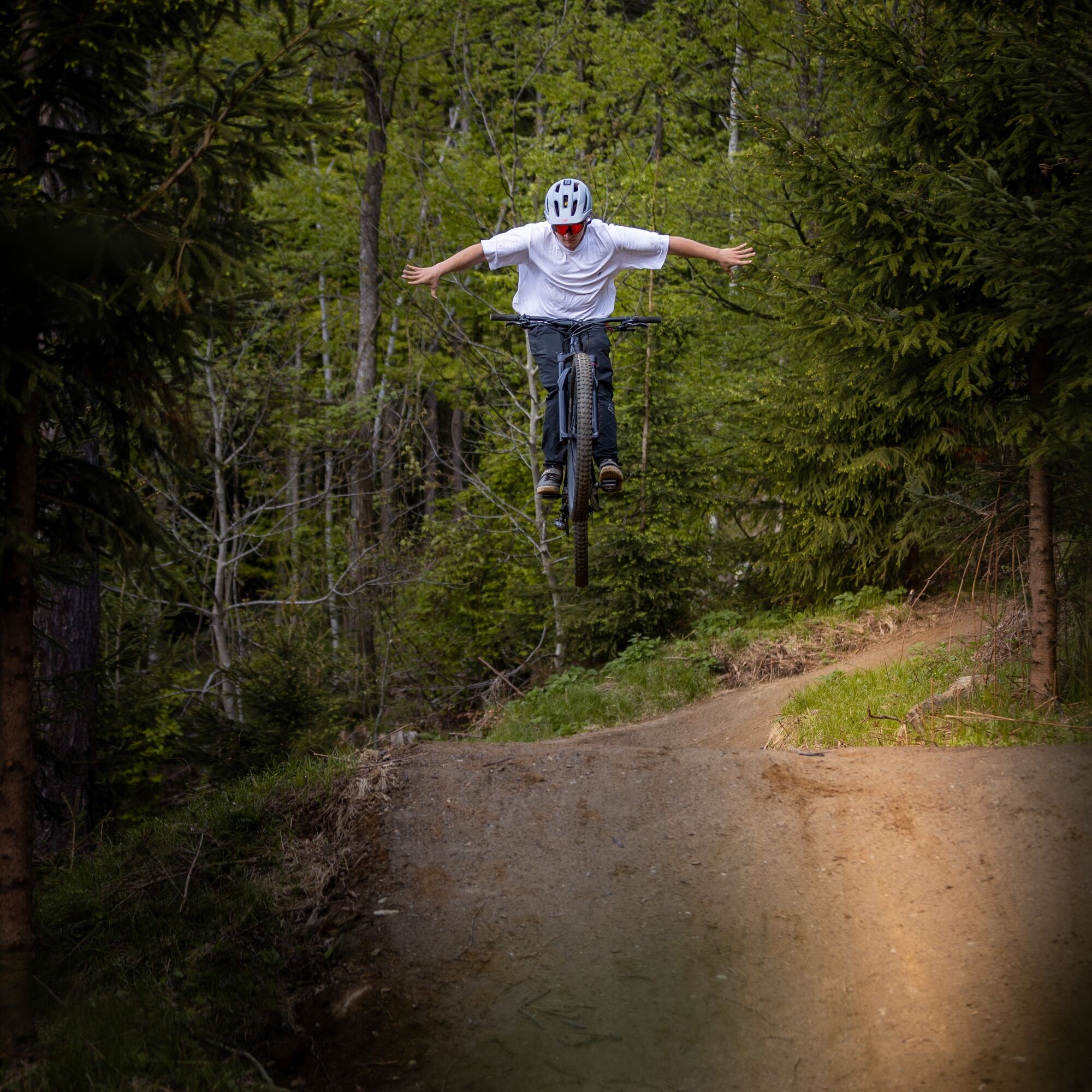
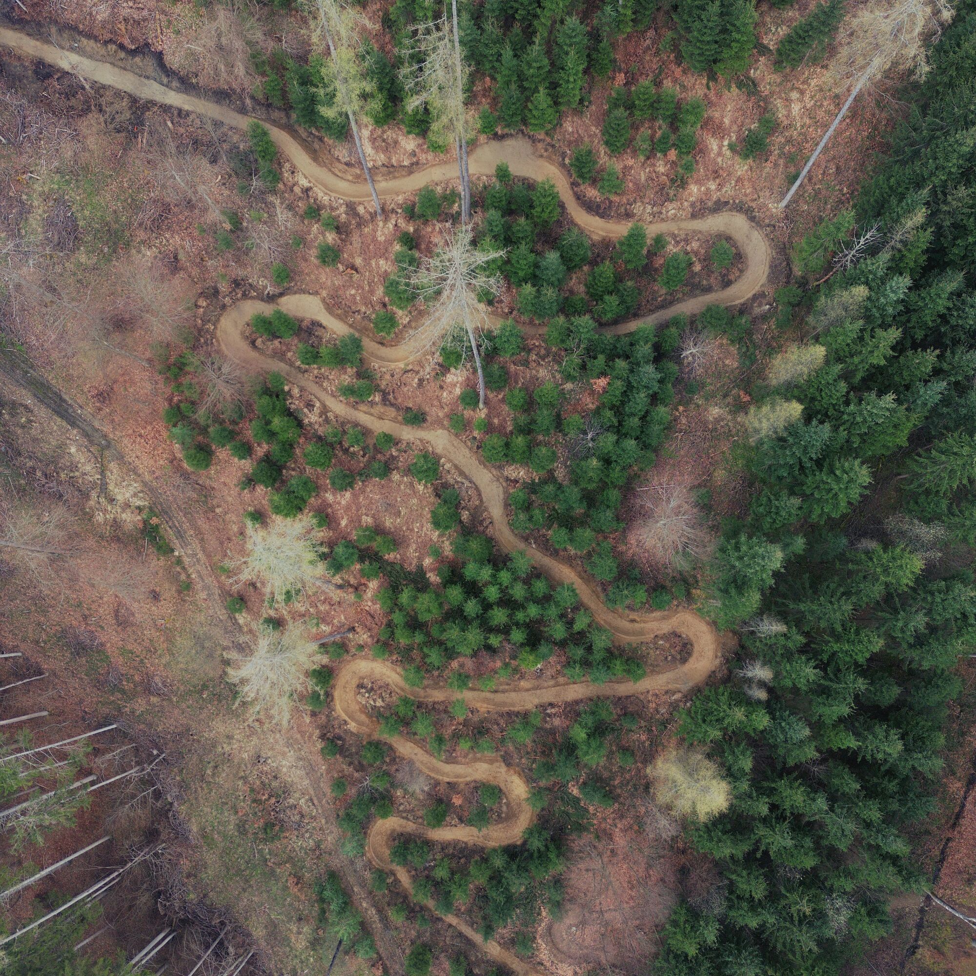
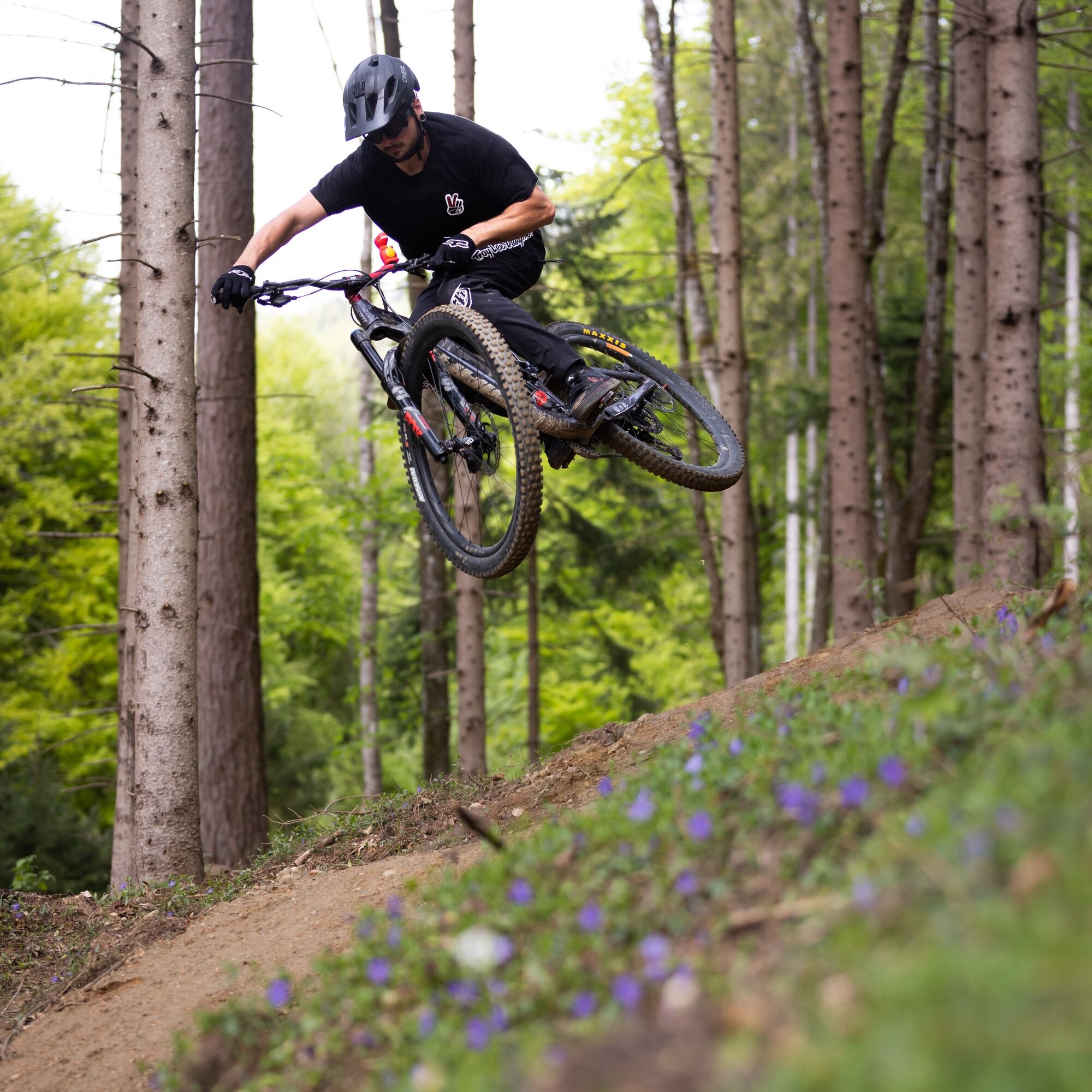
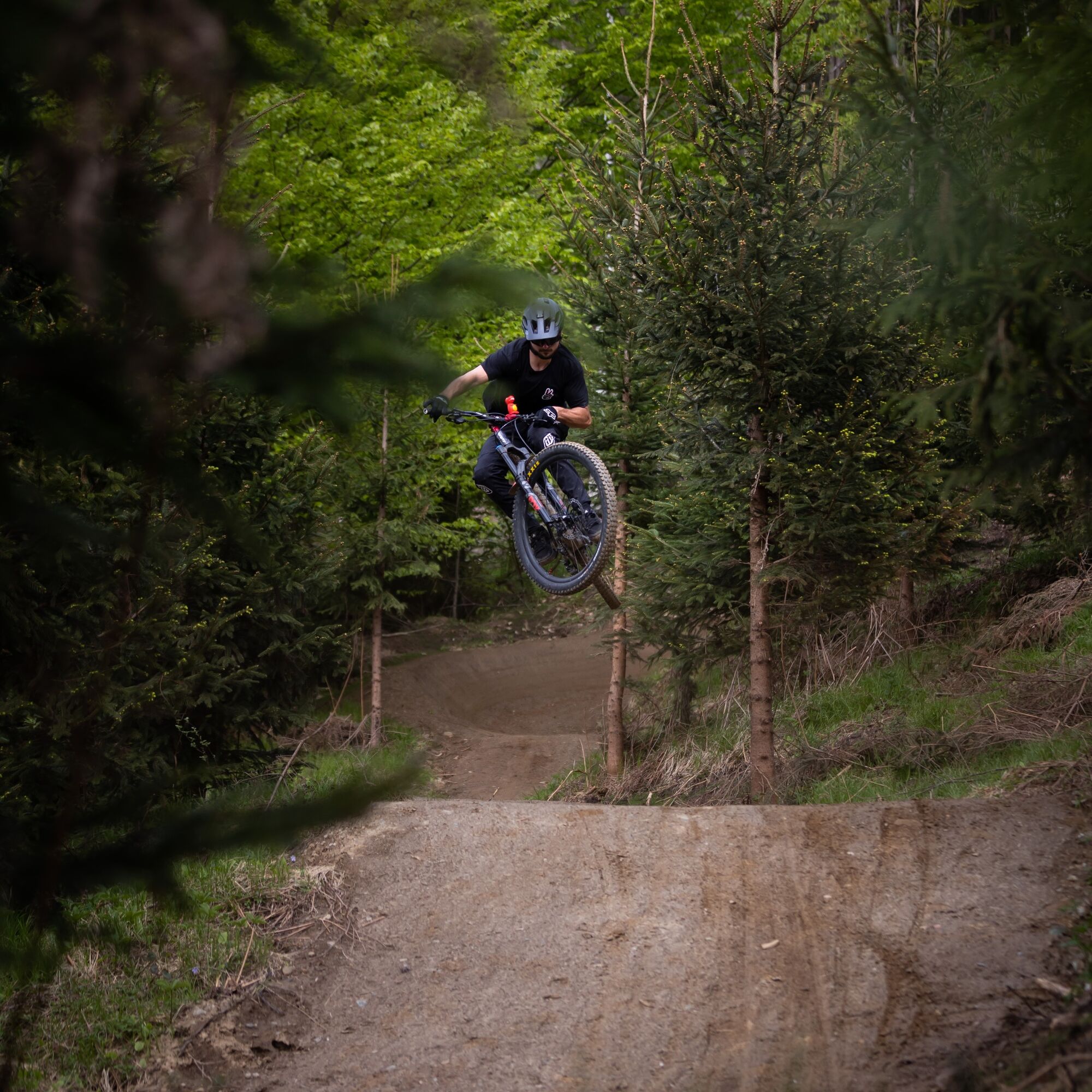

The Sandy Trail – T80 starts above the Ostriach district directly in the forest and ends there at a forest road.
Start of the access route
To reach the Sandy Trail – T80, it is best to start from one of the parking lots in the center of Ossiach. From the parking lot in front of the municipal office, all transfer routes (feeders) to the trails are also signposted.
Description of the access route to the trailhead:
General part of the access route
Starting from the municipal office in Ossiach, first head towards the main road (L49). At the junction with the L49, turn right and follow the bike path R2A for about 1.5 km westwards. At the entrance to Camping Köbl, you can now choose between a very steep ascent, which is more suitable for e-bikes, and a normal ascent.
Option 1: The somewhat easier ascent via MTB Route 12
From the entrance to Camping Köbl, follow the bike path R2A for one kilometer. Along the bike path there is an MTB sign with directions for MTB Routes 12 and 13 to the left. Here turn left across the L49 and follow the beginning forest road uphill. Caution when crossing the main road! Simply follow the signs for MTB Route 12 until you reach a sign labeled "Transfer – Sandy Trail." Here turn left. Caution! The first part downhill is unfortunately a bit steeper. If you don't feel confident, push for the first few meters. Now it's only a few meters to the trailhead of the Van Durren trail. From the Van Duren trail, you will then reach the Sandy Trail entrance.
Option 2: The very steep and difficult ascent via MTB Route 14
From the entrance to Camping Köbl, turn left across the L49 (caution when crossing the main road!) and follow the asphalt road as far uphill as possible until you reach the start sign of the "Challenger Tour – 14." Here turn right onto the forest road and follow the very steep forest road and the signs for Route 14 until you reach a sign labeled "Transfer – Sandy Trail." Here turn right and follow the tractor path. Now it is only a few meters to the trailhead of the Van Durren trail. From the Van Duren trail, you will then reach the Sandy Trail entrance.
Sandy Trail – T80
Once at the trailhead, simply follow the trail route and the signage until the end of the trail.
Once there, you can pedal back to the trail entrance via a short steep climb.
Riding the trail is only permitted with the necessary protective gear (helmet, goggles, gloves, protectors, and suitable shoes) and a mountain bike suitable for this use!
It is also recommended to carry a functioning mobile phone for emergency calls and, of course, for taking photos, a first aid kit, sufficient fluids, and a second suitable person with whom you can ride the trail together.
Similar to ski slopes and hiking trails, approved mountain bike routes and mountain bike singletrails are divided into difficulty levels. Essentially, the slope ratios, hazards, and the condition of the path determine the classification into very easy, easy, intermediate, and difficult routes.
It is recommended to start with the very easy difficulty level (green) and to carefully inspect each mountain bike trail before riding.
From Villach via the L49 to Ossiach.
You can reach Ossiach by postal buses and the boats of the Ossiacher See shipping company.
A variety of parking spaces are available in Ossiach. These are chargeable during the summer months.
S2
Before you ride to the entry of the Sandy Trail, first try the Andy Trail. Only when you can safely ride this does the descent on the Sandy Trail really become fun. On your first run, please watch the trail carefully!
Uzyskaj wgląd Zawsze na żywo z ponad 9 500 kamer internetowych. bergfex Jako użytkownik Pro, możesz teraz zobaczyć odpowiednie kamery internetowe dla wielu wycieczek w aplikacji wycieczki od. Pozwala to na bezpośredni podgląd aktualnych warunków. Popularne wycieczki w okolicy
- 4,7
4 Huts route
średniWędrówka 8,96 km - 4,6
Pyramidenkogel path Maria Wörth
średniWędrówka 10,8 km - 4,5
Hoher Gallin route
średniWędrówka 7,09 km - 4,4
Lake circular trail
światłoNordic Walking 9,85 km - 4,4
Finsterbach Waterfalls - Circular route
średniWędrówka 3,87 km - 4,6
Pyramidenkogelweg Schiefling
średniWędrówka 8,41 km - 4,1
Slow Trail Bleistätter Moor (Variant A)
światłoWędrówka 7,22 km - 4,9
Gratschenitzen Kreuz
ciężkiWycieczka wysokogórska 3 km - 4,0
Lake Ossiacher See cycle path – R2 & R2A
średniJazda na rowerze 28,2 km - 4,2
Gerlitzen - Hüttersteig
ciężkiWędrówka 6,80 km
Wędrówki i tropienie


Nie przegap ofert i inspiracji na następne wakacje
Twój adres e-mail została dodana do listy mailingowej.





