







Matschy Trail - T69
Poziom trudności: S2
The Matschy Trail T69 in the Ossiach Tauern is a natural shared trail with a black difficulty rating. In some sections, the path runs alongside steep slopes, and at one point the ascent is very steep and...
The Matschy Trail T69 in the Ossiach Tauern is a natural shared trail with a black difficulty rating. In some sections, the path runs alongside steep slopes, and at one point the ascent is very steep and wet. Overall, however, the trail is mostly of medium difficulty and fits wonderfully into the natural surroundings. Please note that this is a shared trail, so hikers have priority and we should treat each other with respect.
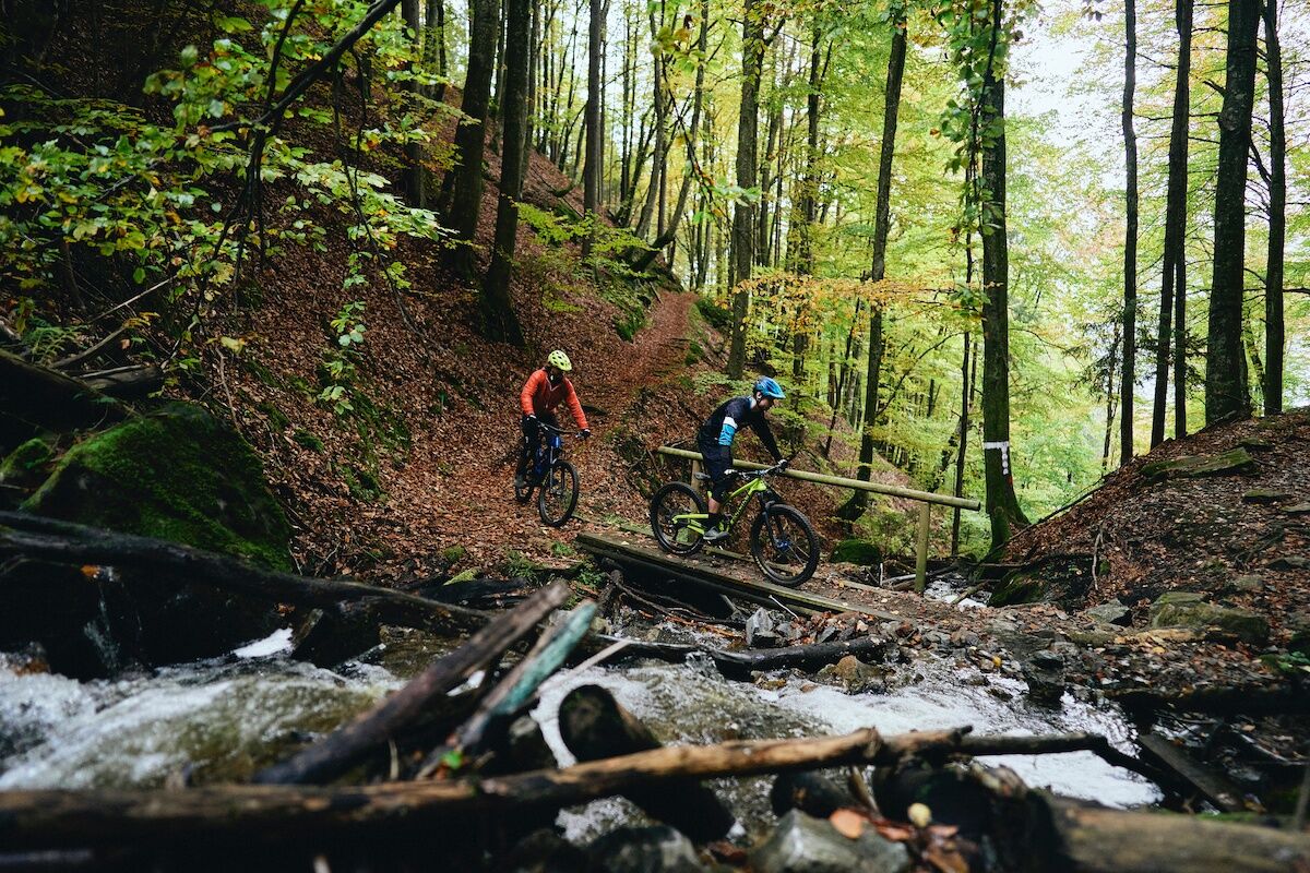
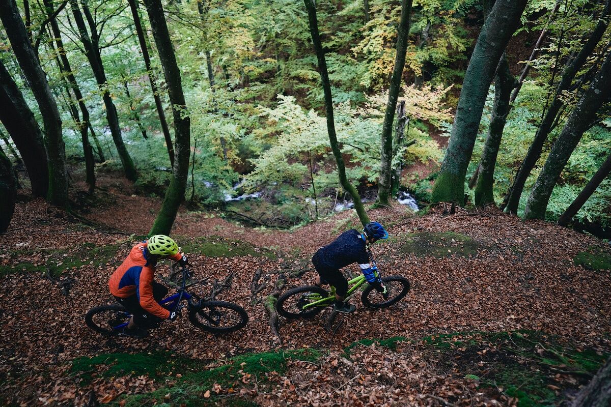
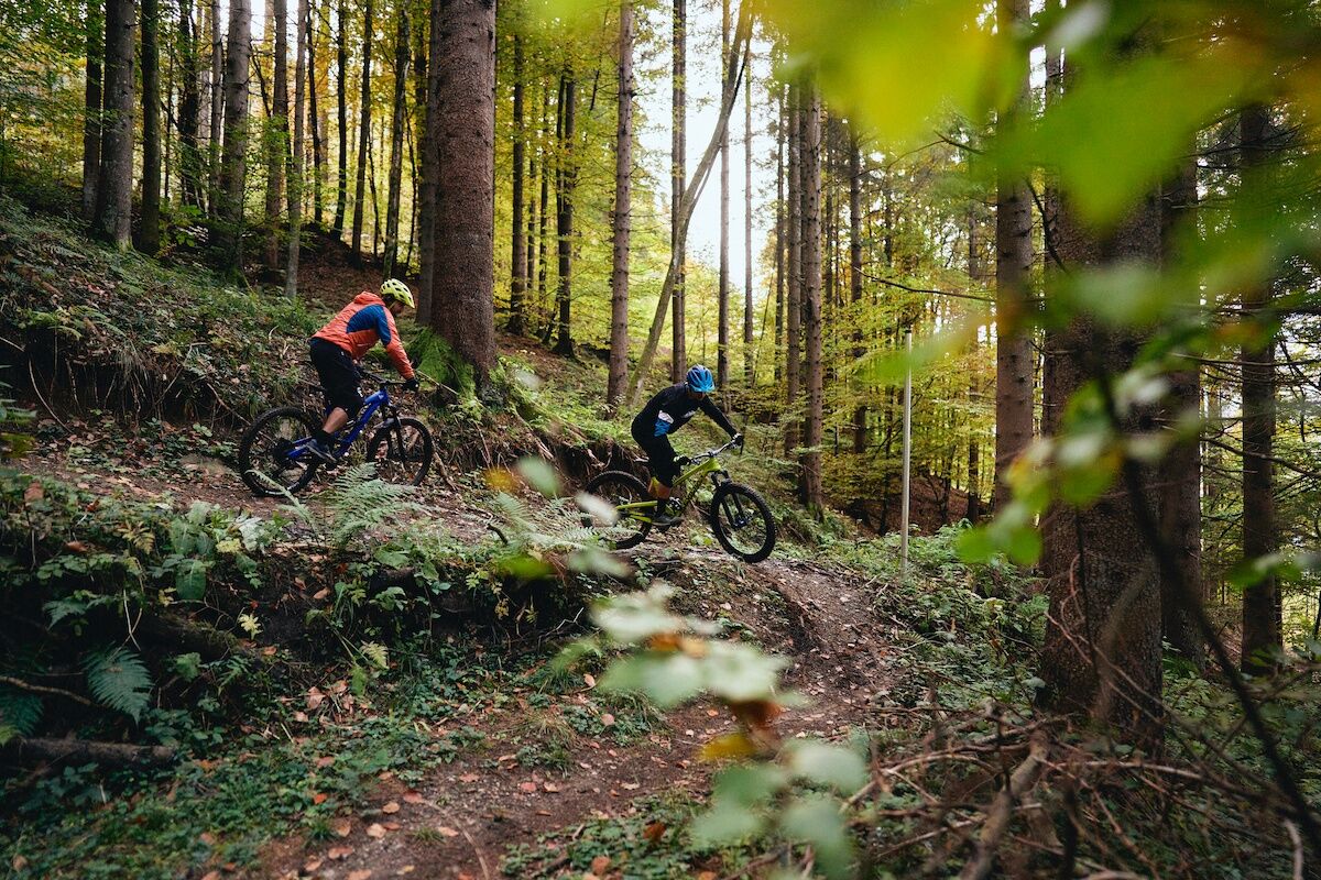

From Ossiach, a path leads westward to the trail start of MTB route No. 12, which can be used as an ascent. From the trail start, you continuously follow the route until you reach a junction with a tractor path. Here you have two options: you can either follow the tractor path down into the valley or turn right and follow the transfer path to the Parthy Trail, which you can then also ride.
Helmet, protective gear, suitable mountain bike, water bottle necessary.
Shared Trail - Hikers have priority!
From Landskron, follow the Ossiacher See south shore road to Ossiach.
Ossiach is accessible by buses of Postbus AG.
There is a paid parking lot in the town center.
S2
www.lake.bike
Visit the website www.lake.bike!
Uzyskaj wgląd
Zawsze na żywo z ponad 9 500 kamer internetowych. bergfex Jako użytkownik Pro, możesz teraz zobaczyć odpowiednie kamery internetowe dla wielu wycieczek w aplikacji wycieczki od. Pozwala to na bezpośredni podgląd aktualnych warunków.
Popularne wycieczki w okolicy
-
4,7
4 Huts route
średniWędrówka 8,96 km -
4,6
Pyramidenkogel path Maria Wörth
średniWędrówka 10,8 km -
4,5
Hoher Gallin route
średniWędrówka 7,09 km -
4,5
Lake circular trail
światłoNordic Walking 9,85 km -
4,4
Finsterbach Waterfalls - Circular route
średniWędrówka 3,87 km -
4,6
Pyramidenkogelweg Schiefling
średniWędrówka 8,41 km -
4,1
Slow Trail Bleistätter Moor (Variant A)
światłoWędrówka 7,22 km -
4,9
Gratschenitzen Kreuz
ciężkiWycieczka wysokogórska 3 km -
4,0
Lake Ossiacher See cycle path – R2 & R2A
średniJazda na rowerze 28,2 km -
4,2
Gerlitzen - Hüttersteig
ciężkiWędrówka 6,80 km
Wędrówki i tropienie


Nie przegap ofert i inspiracji na następne wakacje
Twój adres e-mail została dodana do listy mailingowej.





