






Nockalmstraße

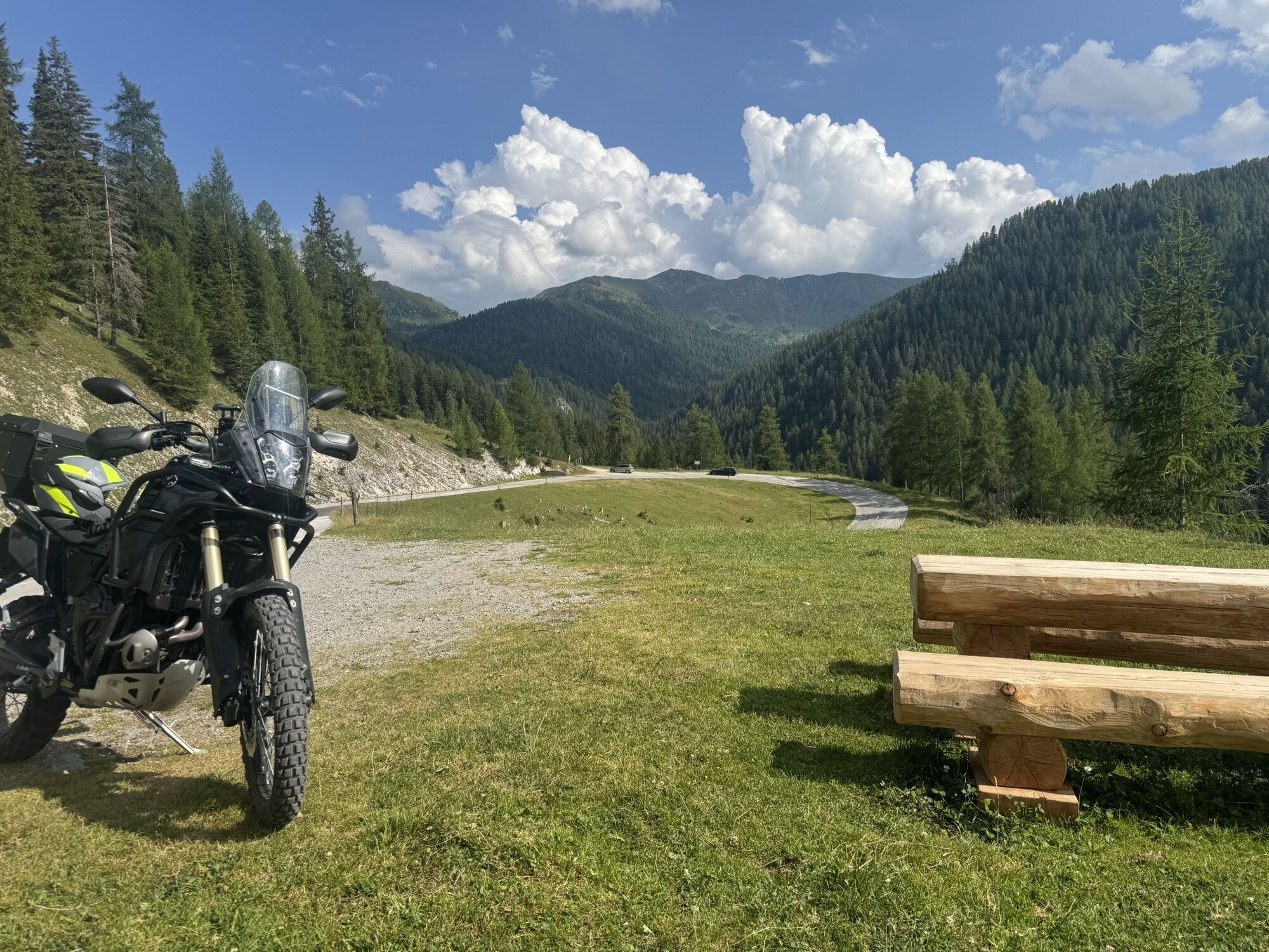

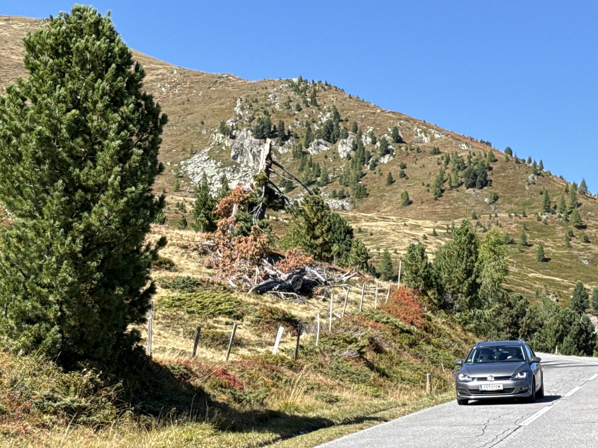
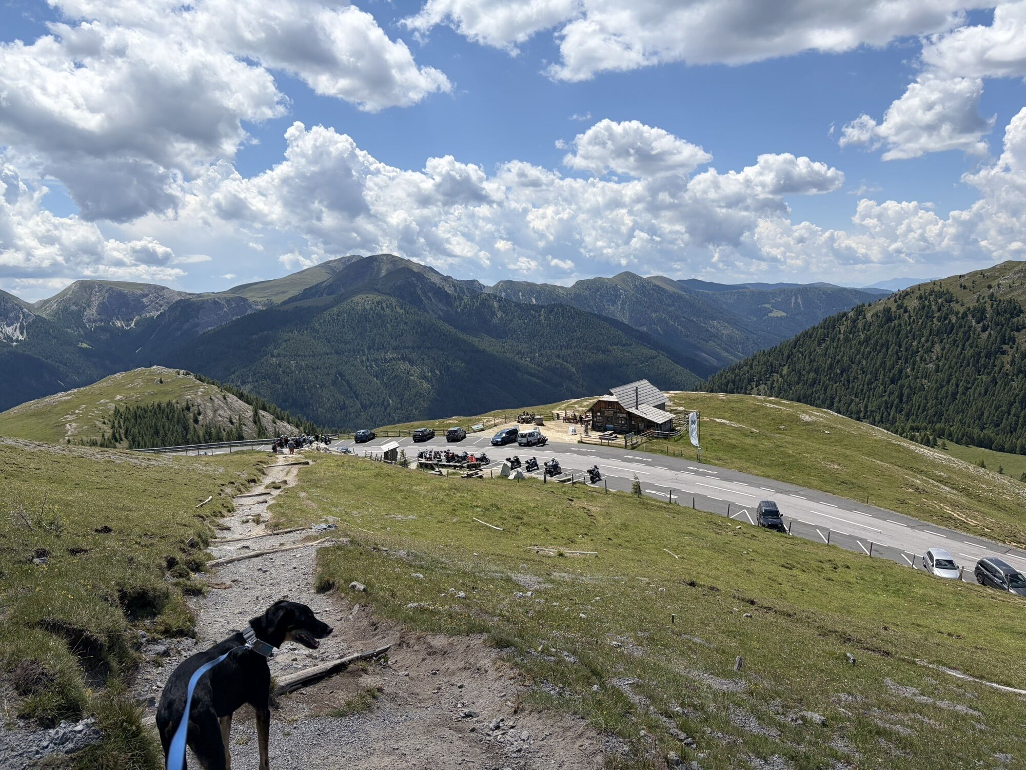
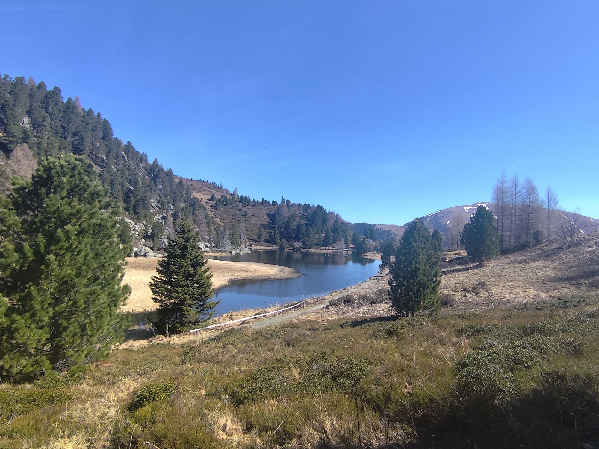
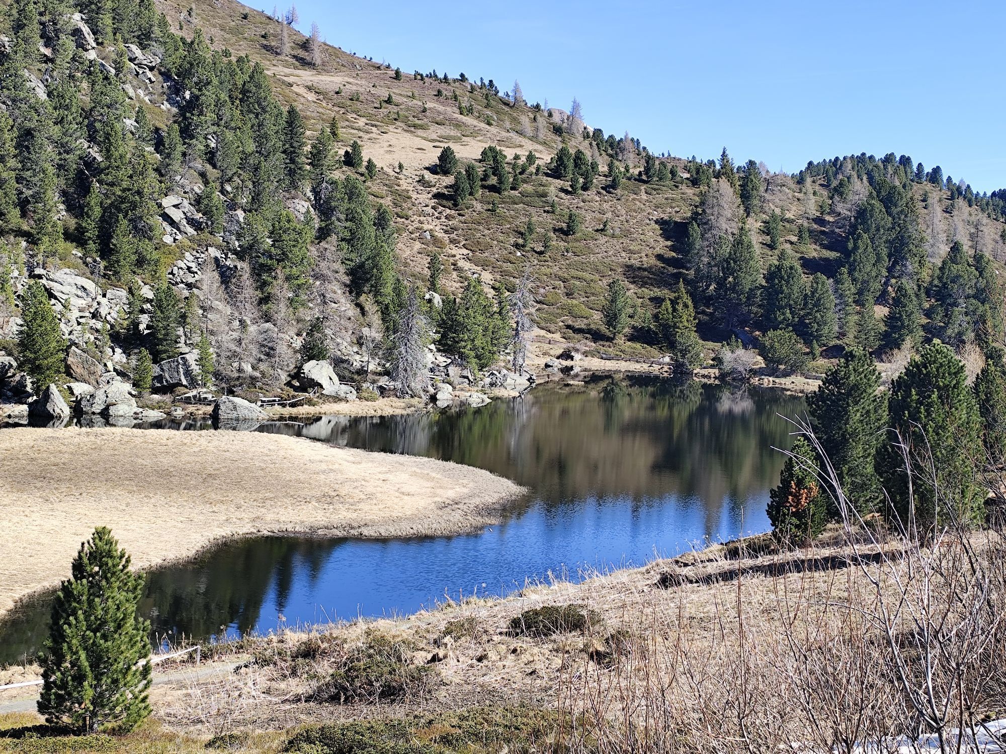
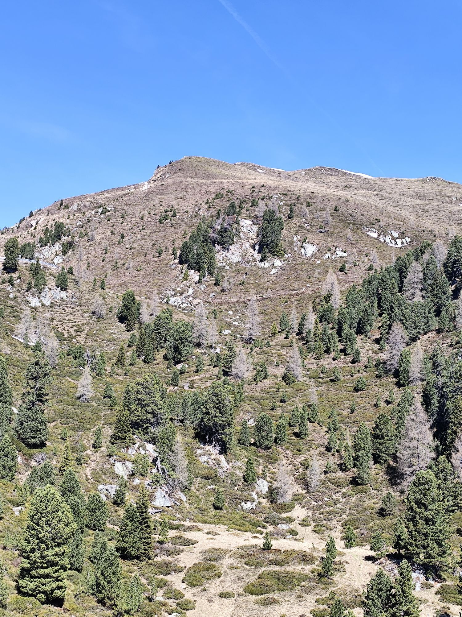
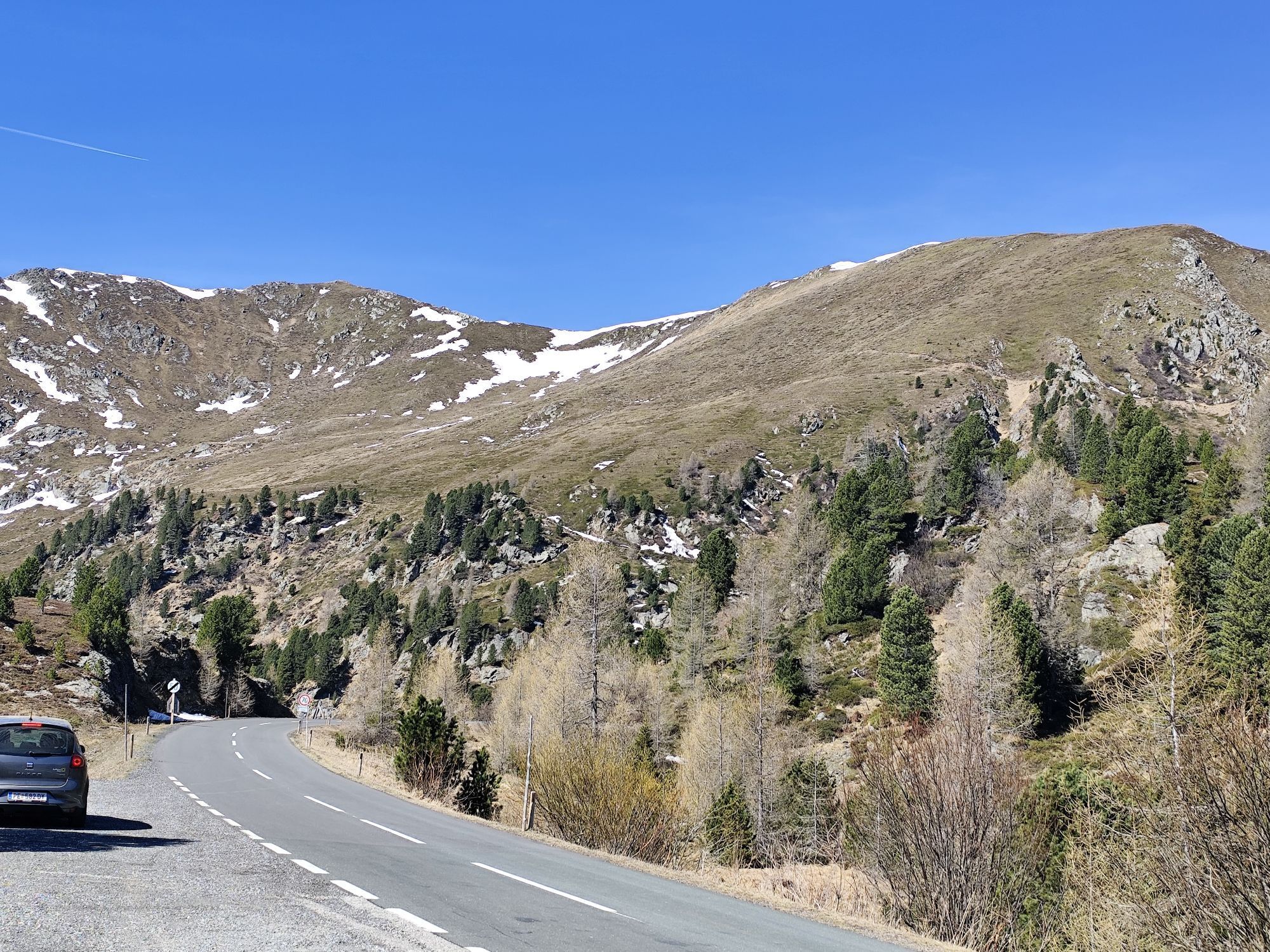
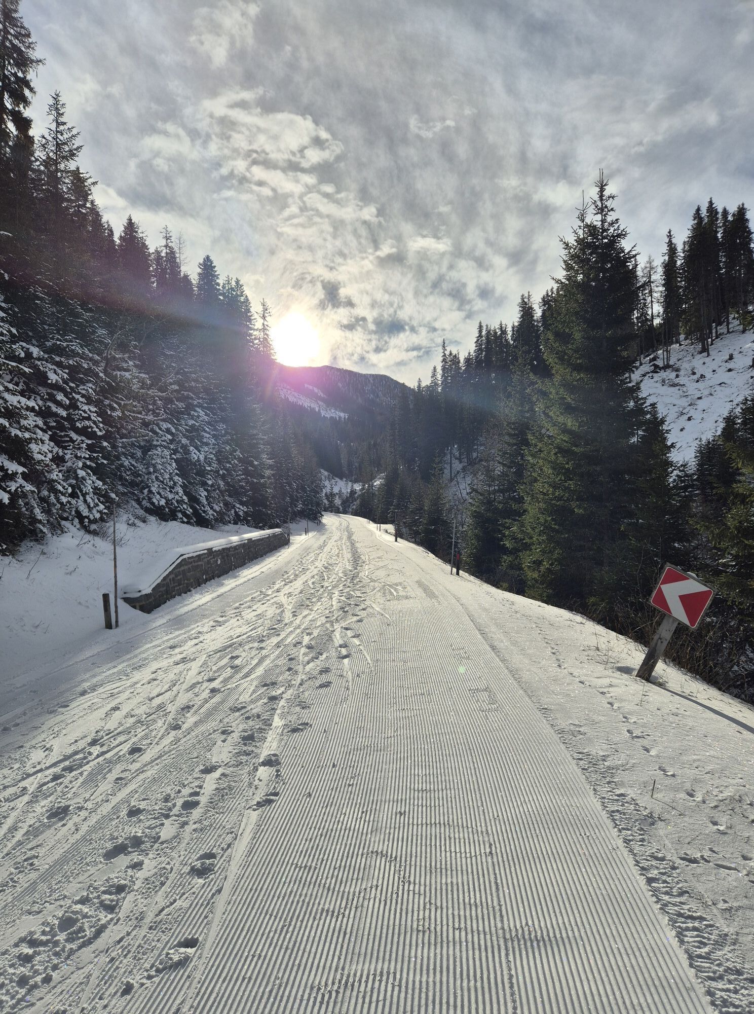
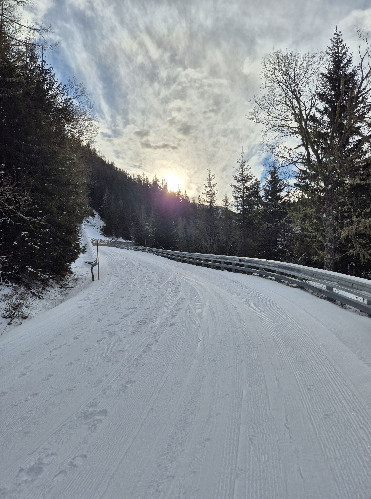
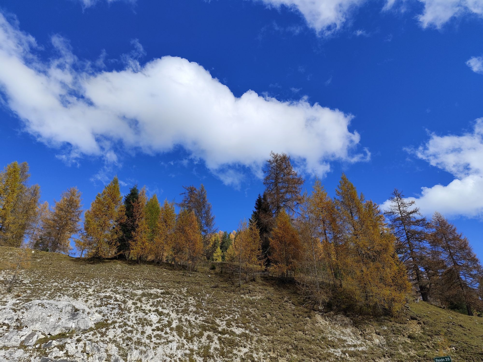
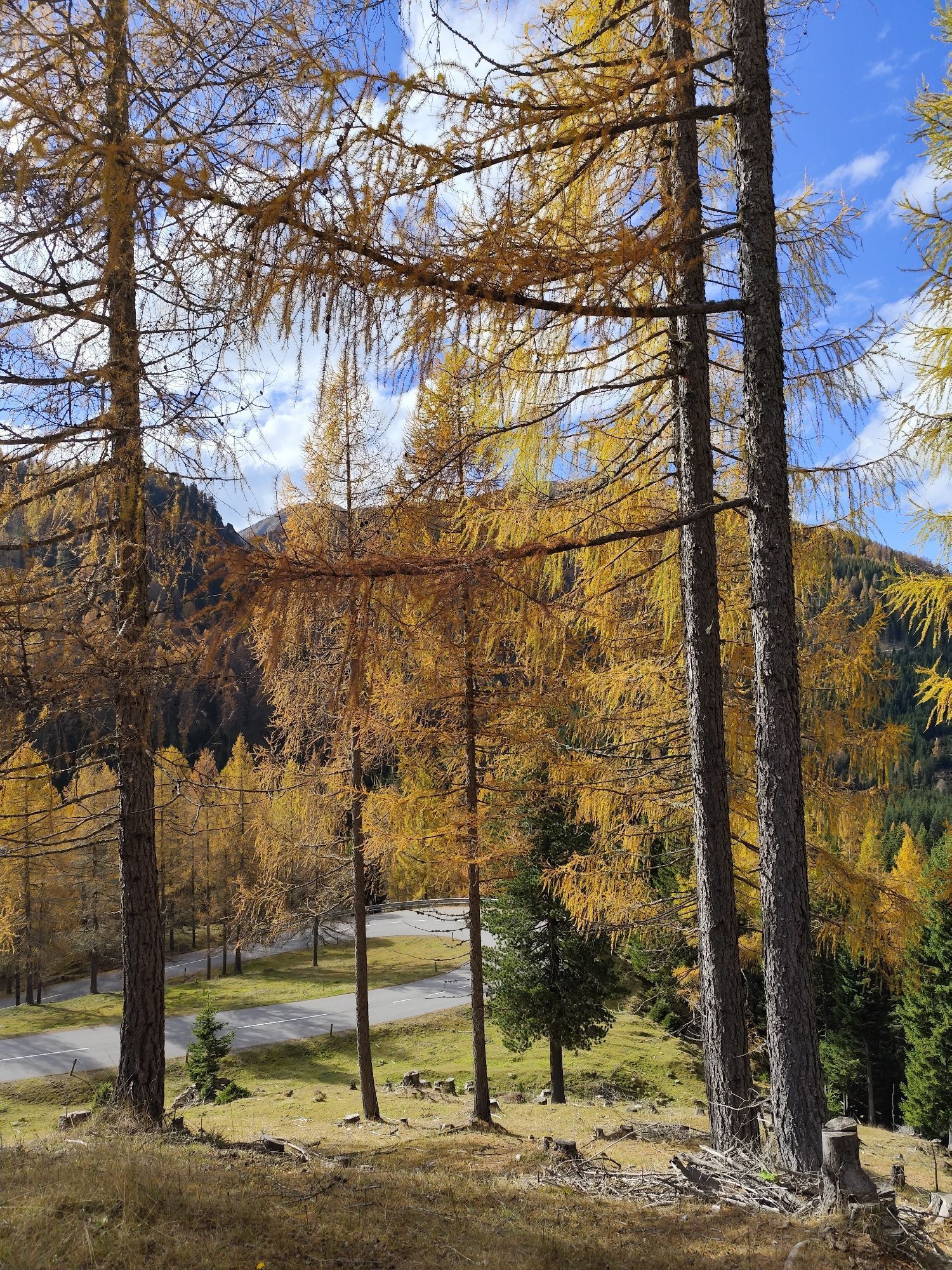

Over a length of 34 kilometers, the Carinthian Nockalmstraße winds in gentle curves through the picturesque landscape of the Nockberge and connects the towns of Innerkrems and Ebene Reichenau. The route...
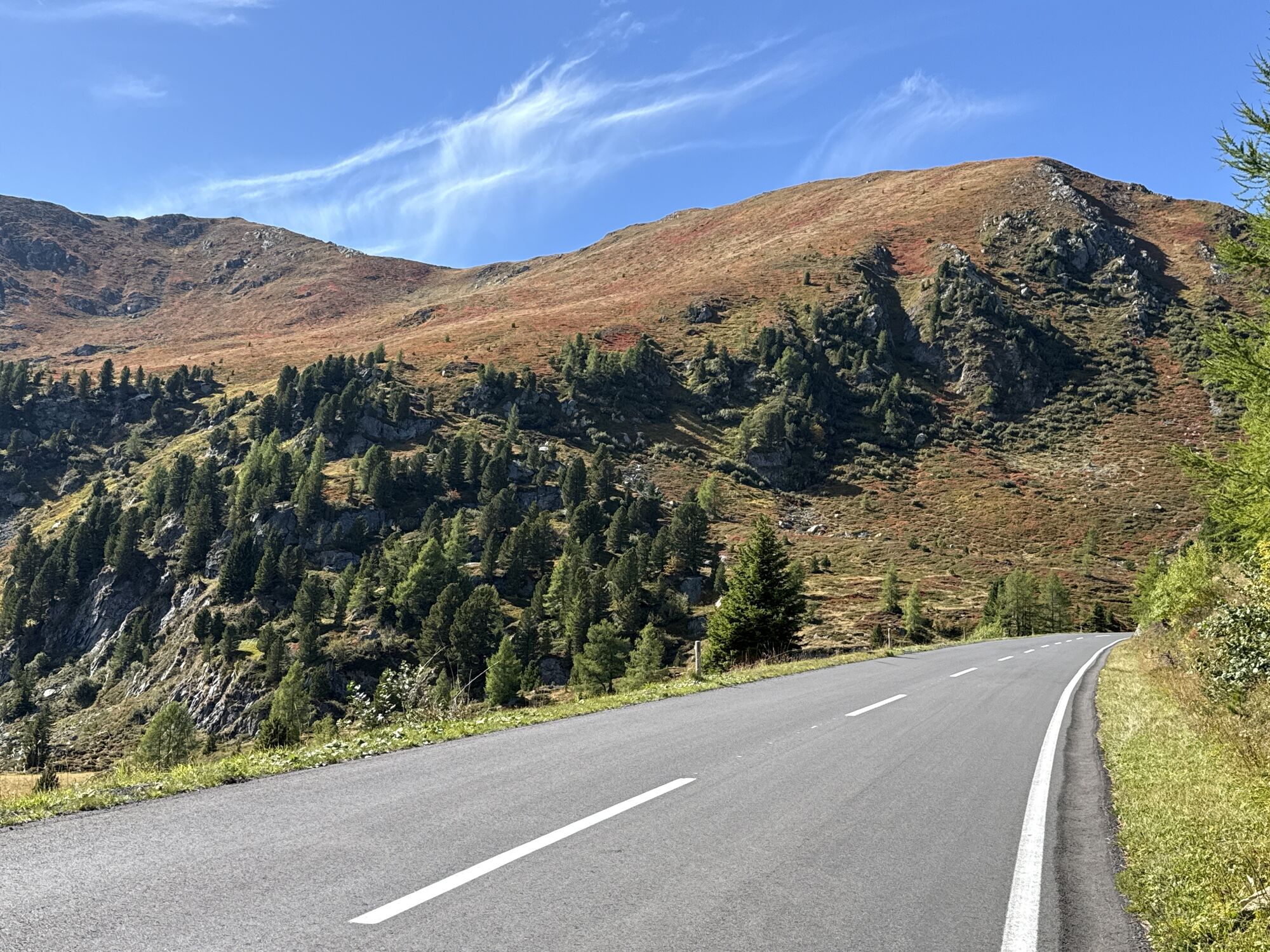
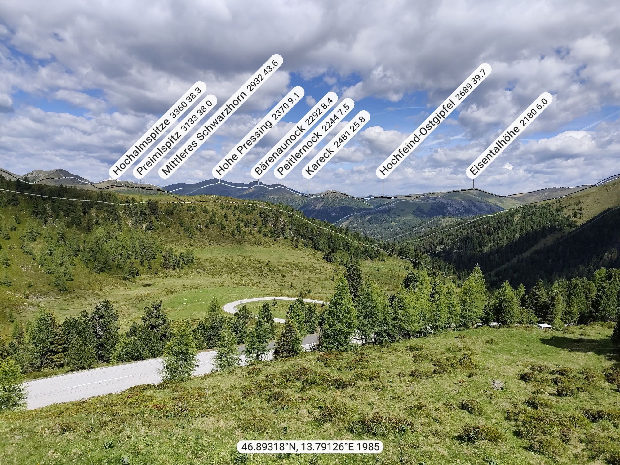
Over a length of 34 kilometers, the Carinthian Nockalmstraße winds in gentle curves through the picturesque landscape of the Nockberge and connects the towns of Innerkrems and Ebene Reichenau. The route leads over a shoulder of the Eisentalhöhe, past Karlbad, through the Grund valley, over the Schiestelscharte, and through the Winkltal valley down to Ebene Reichenau.
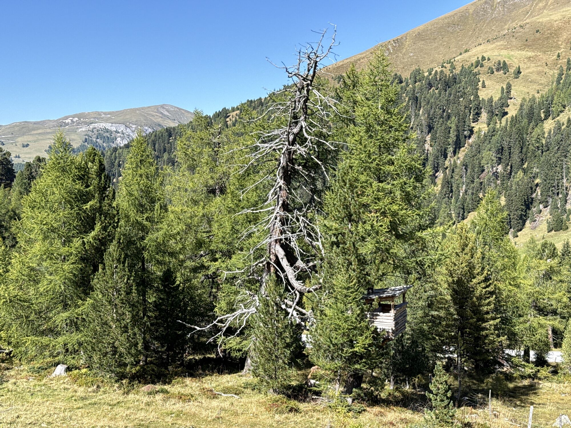
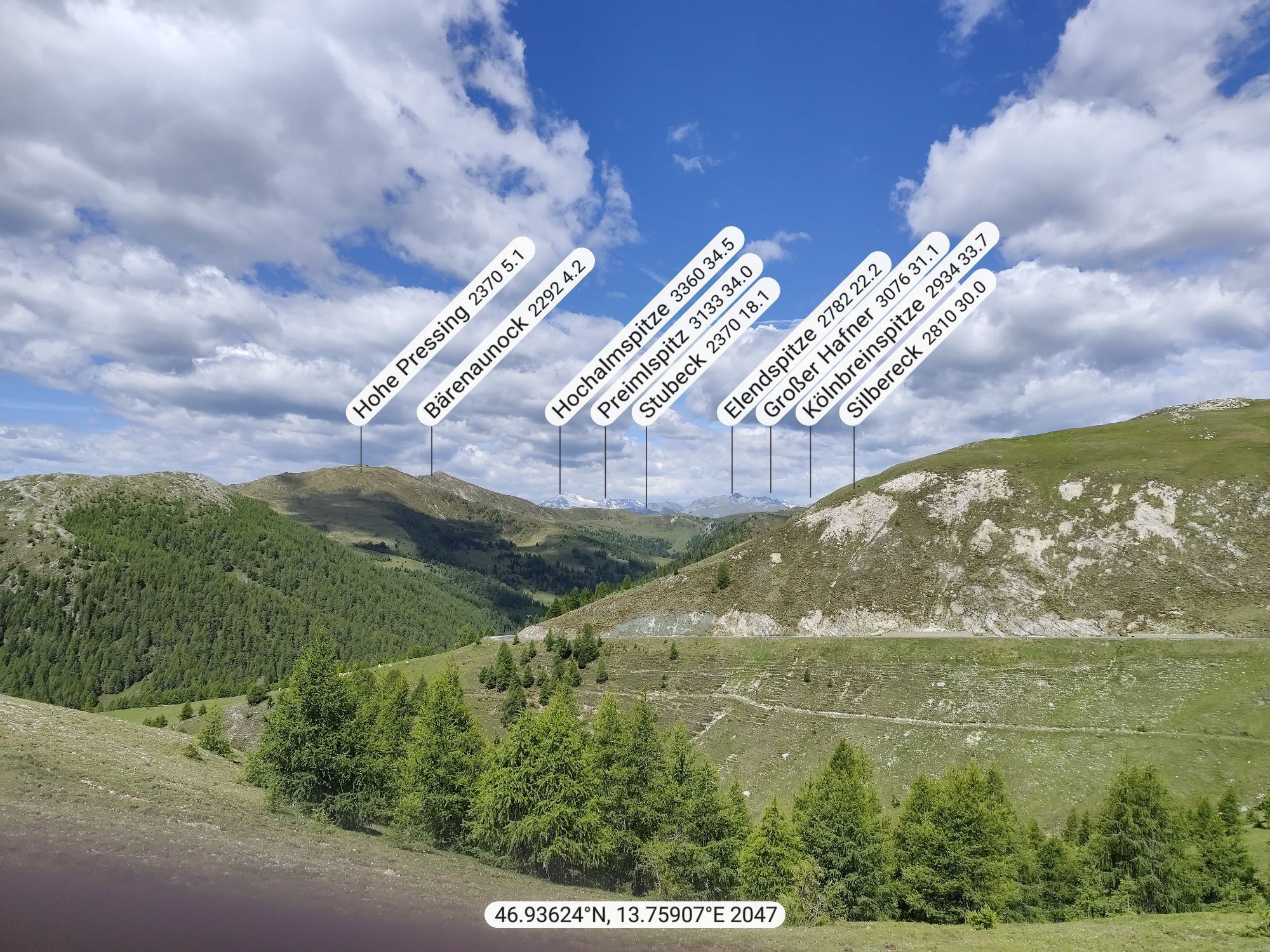
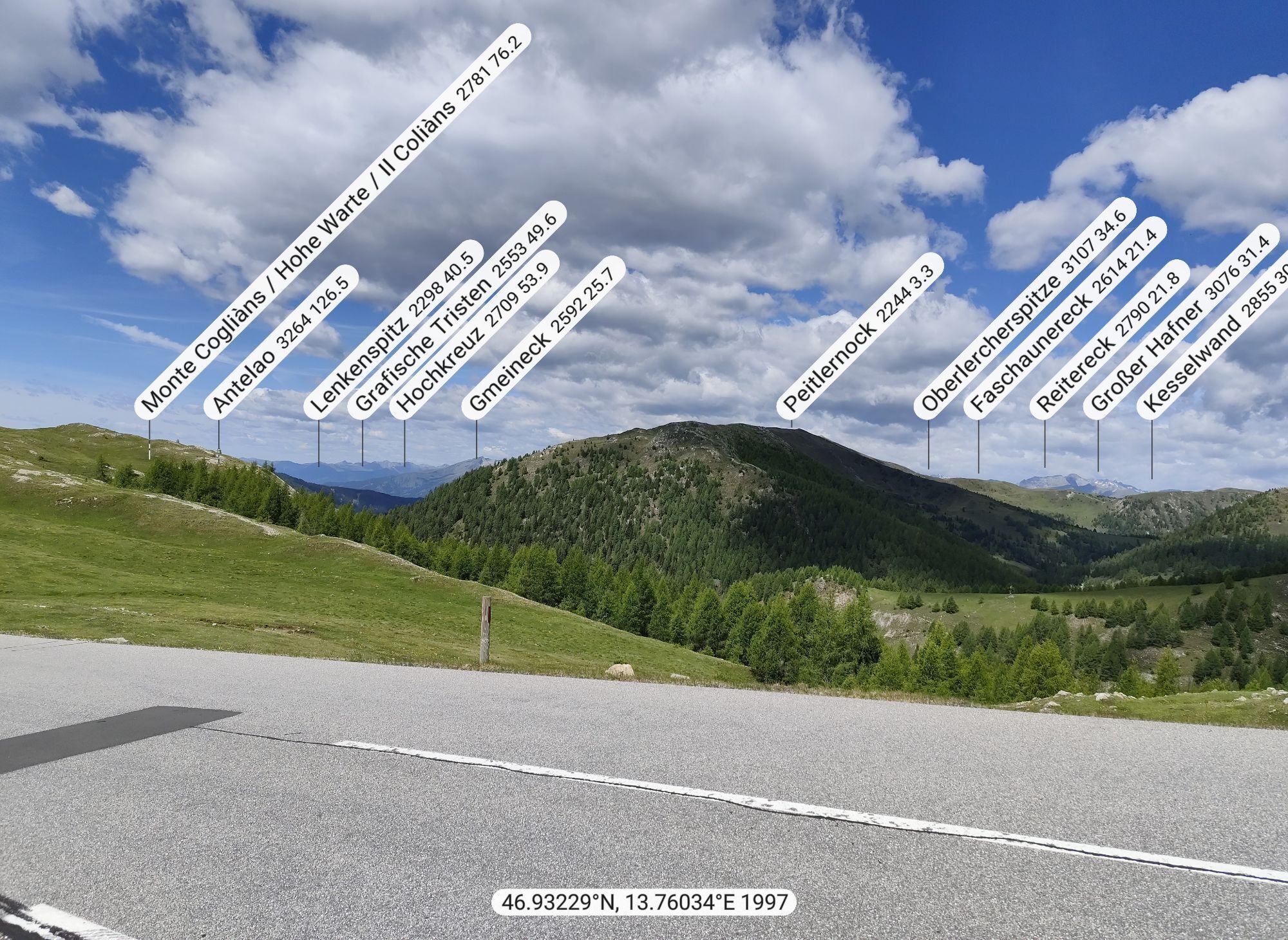
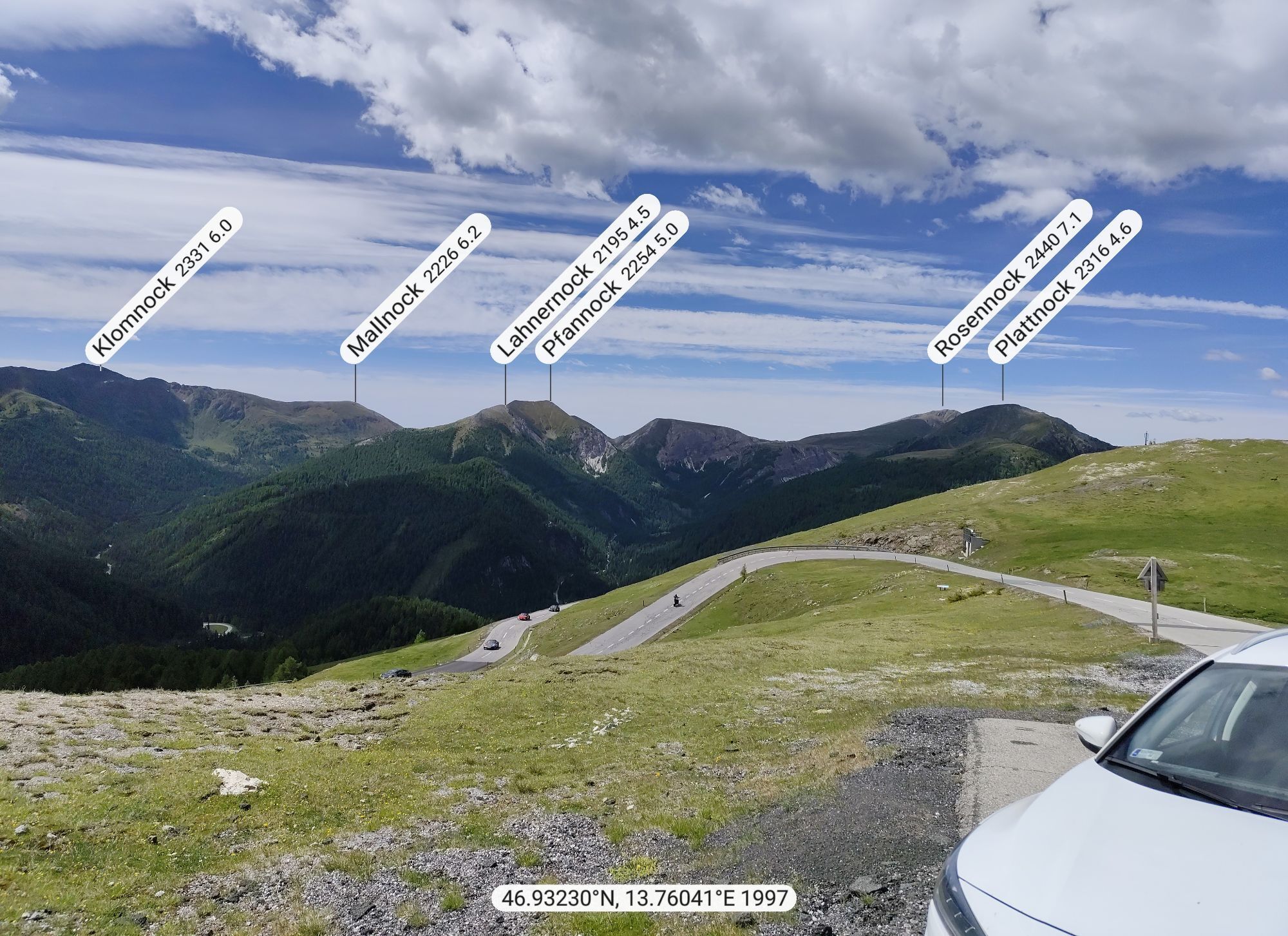
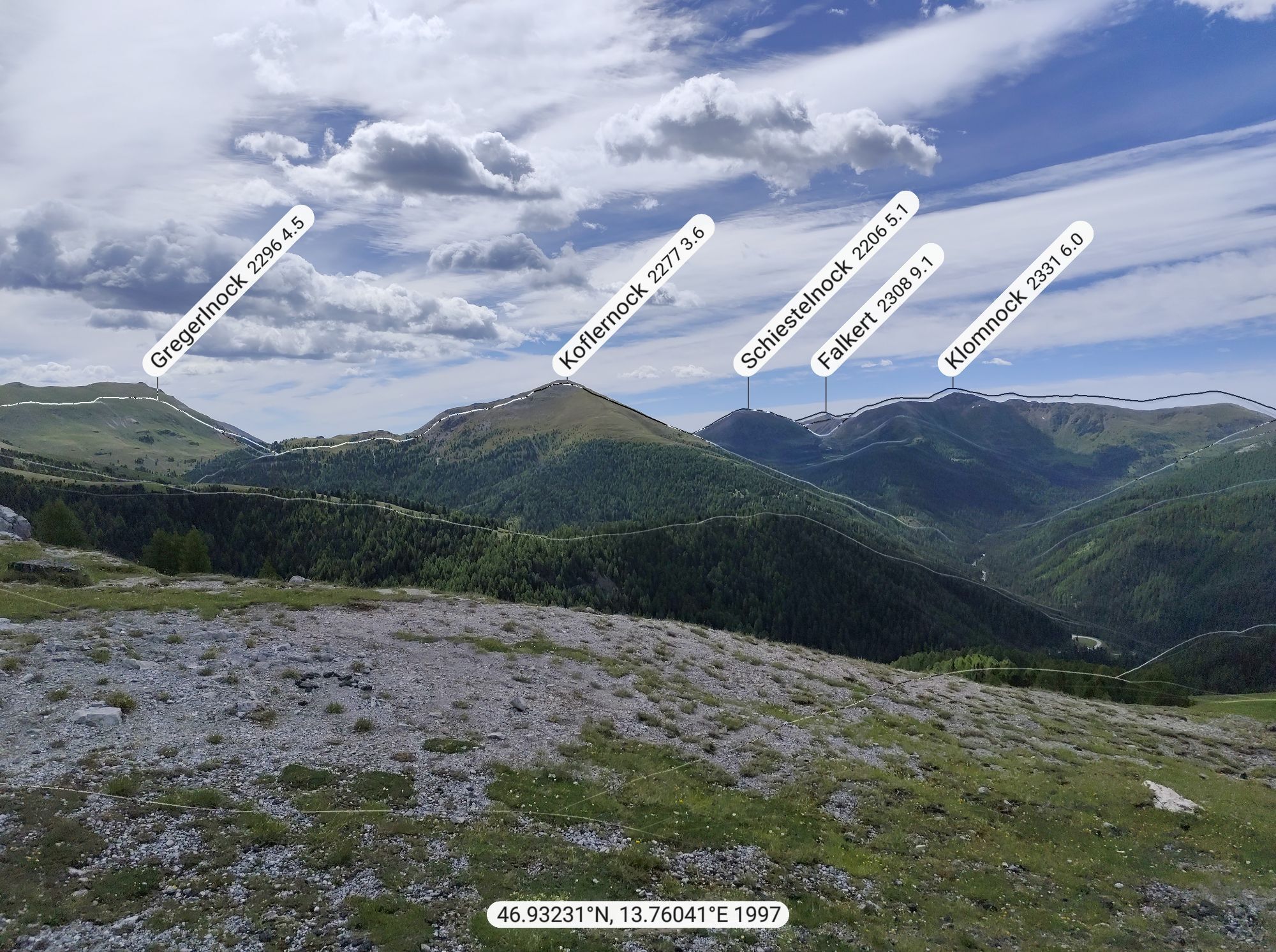
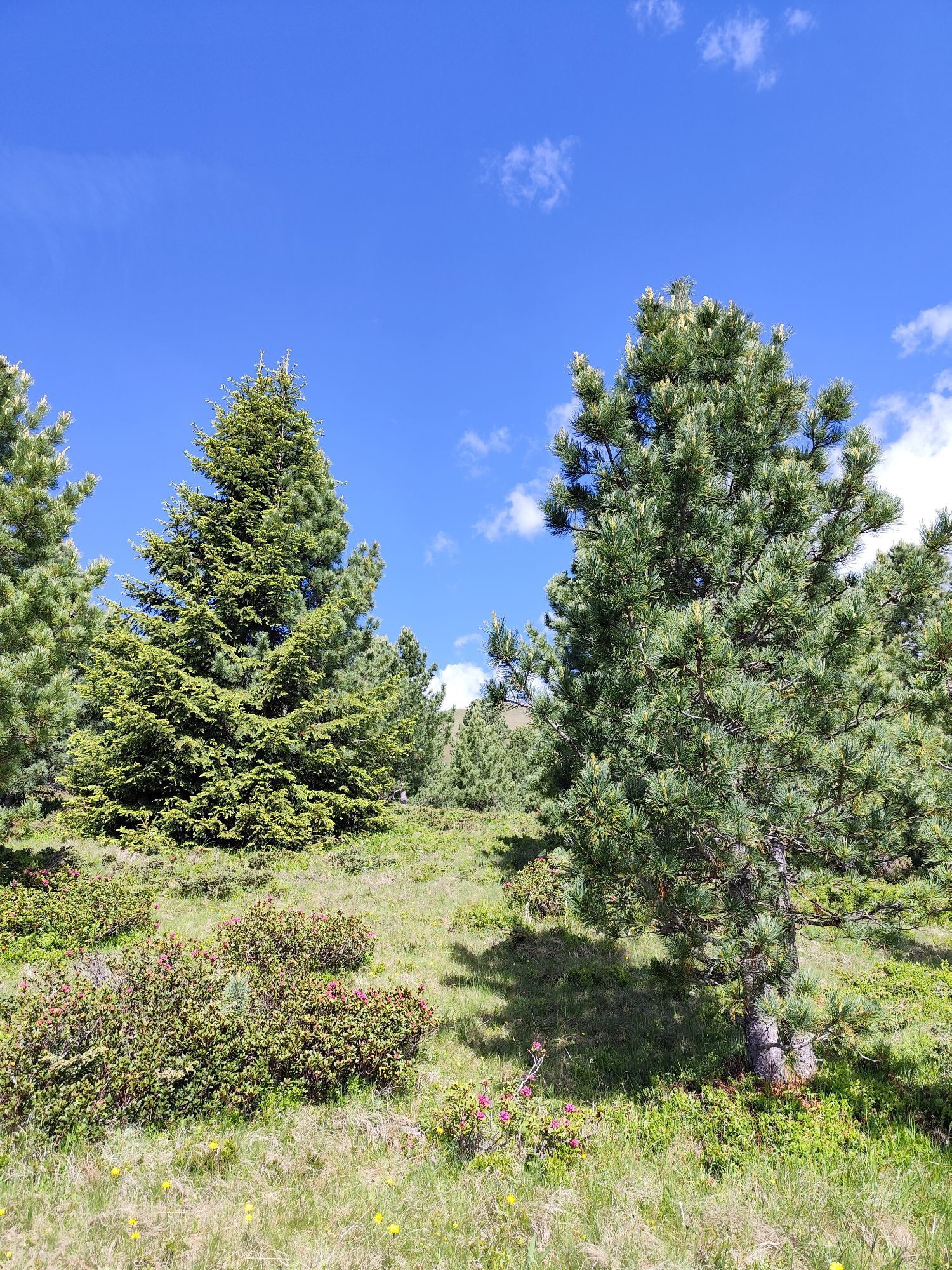
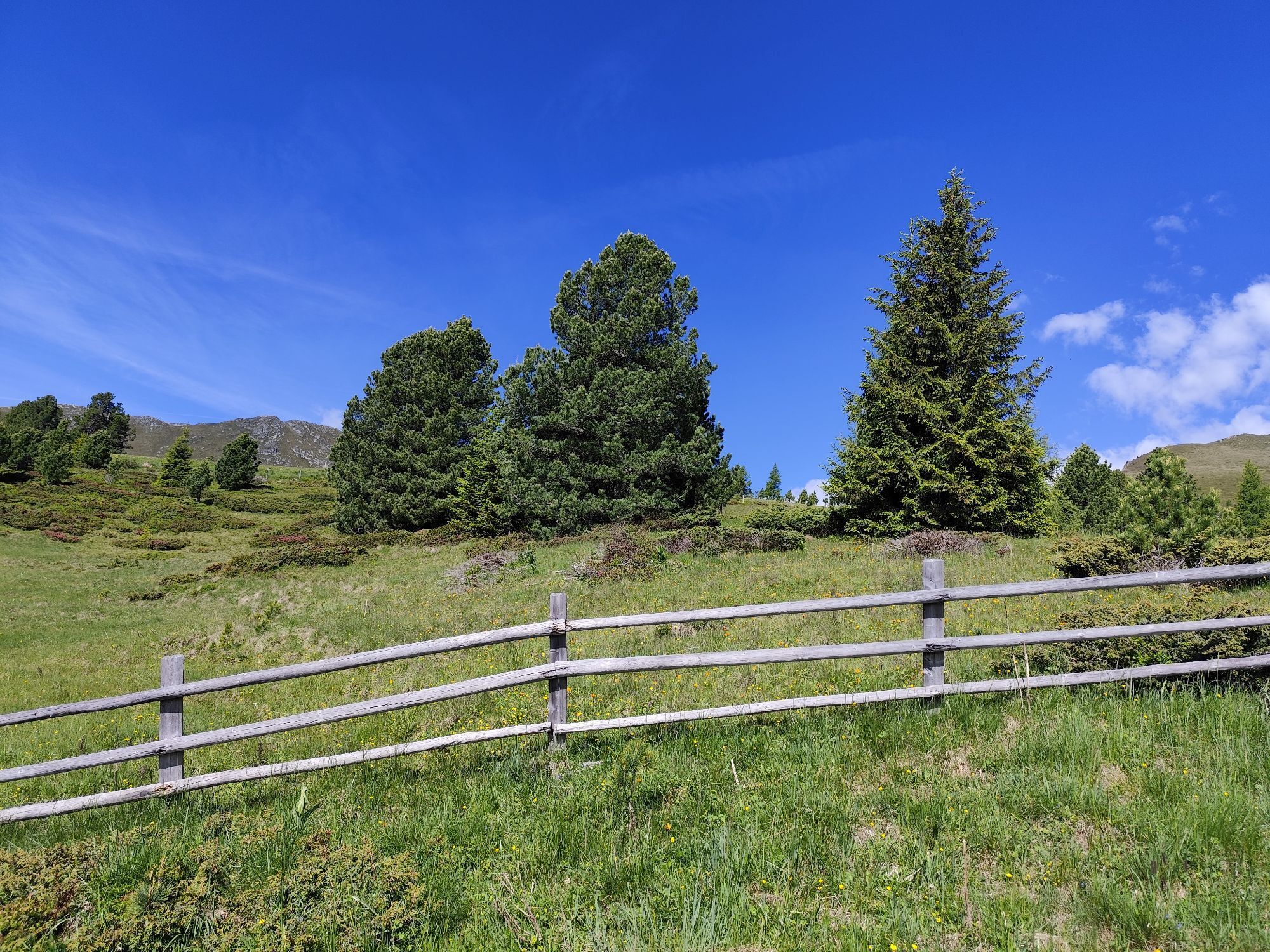
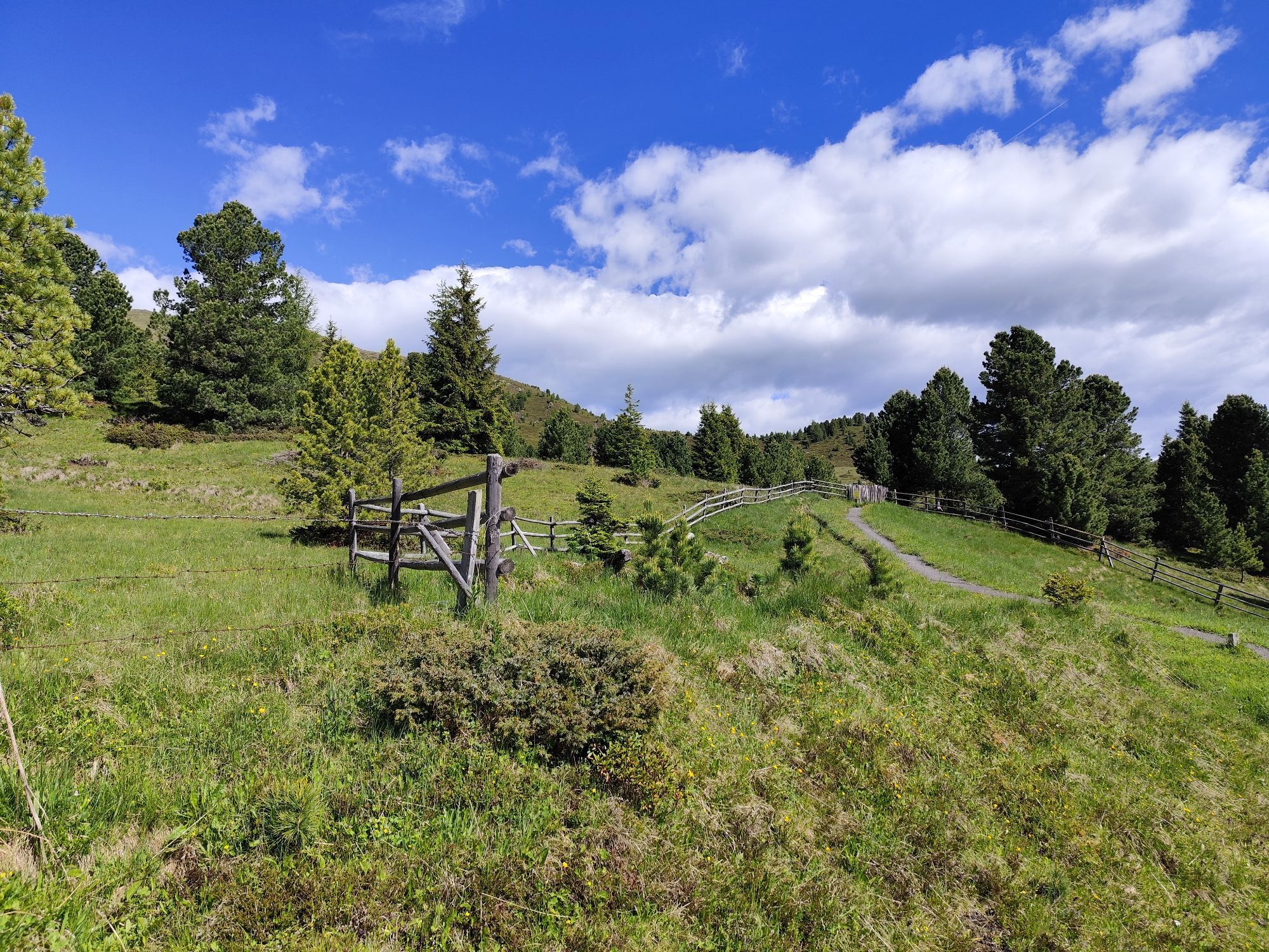
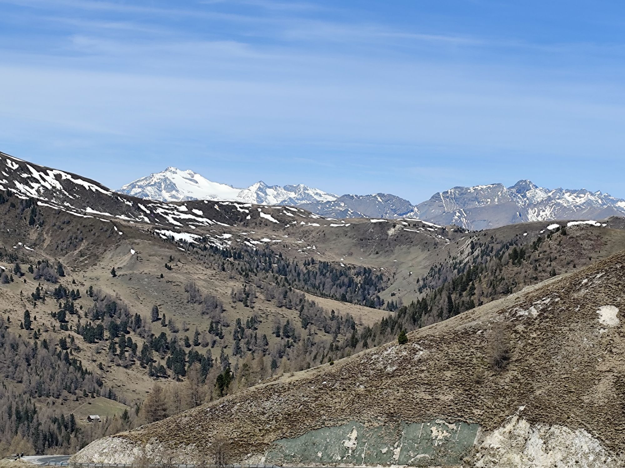
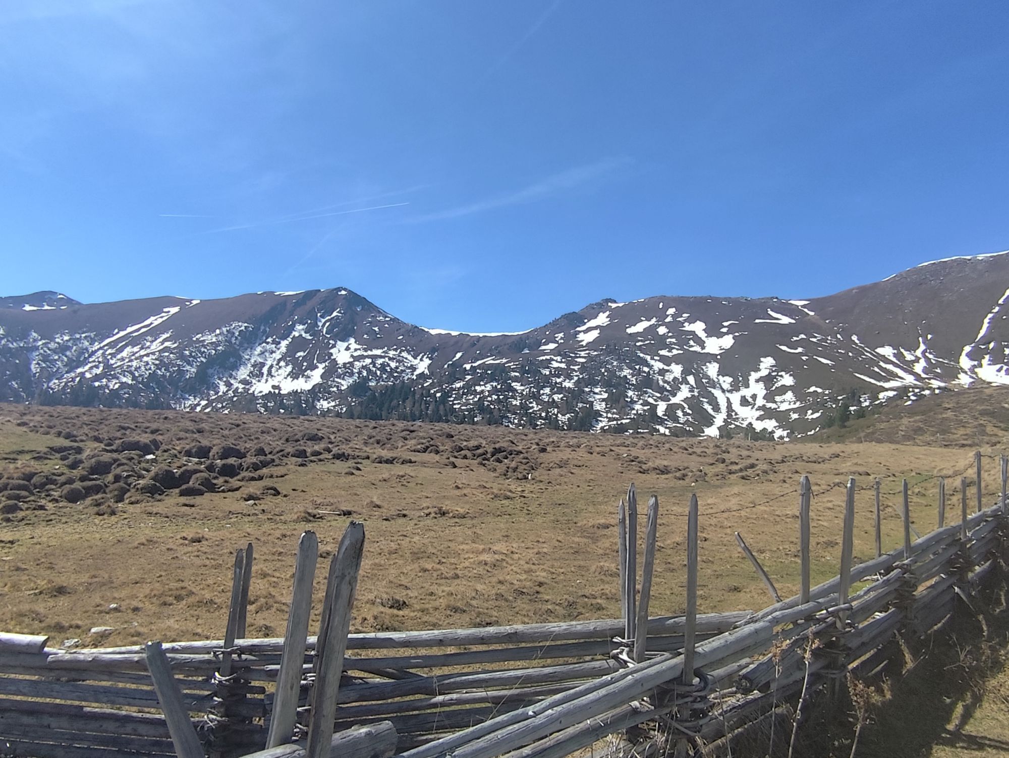
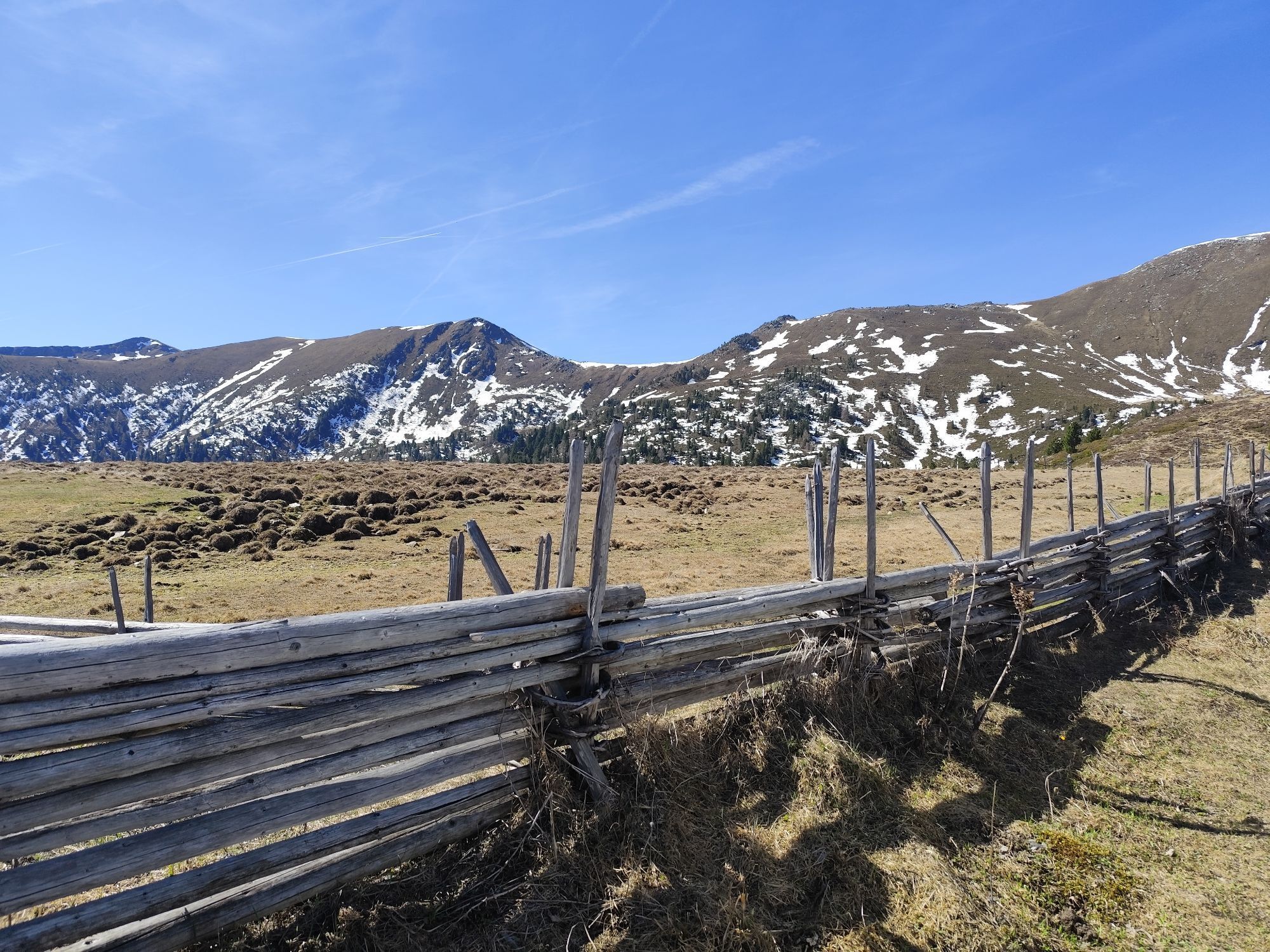
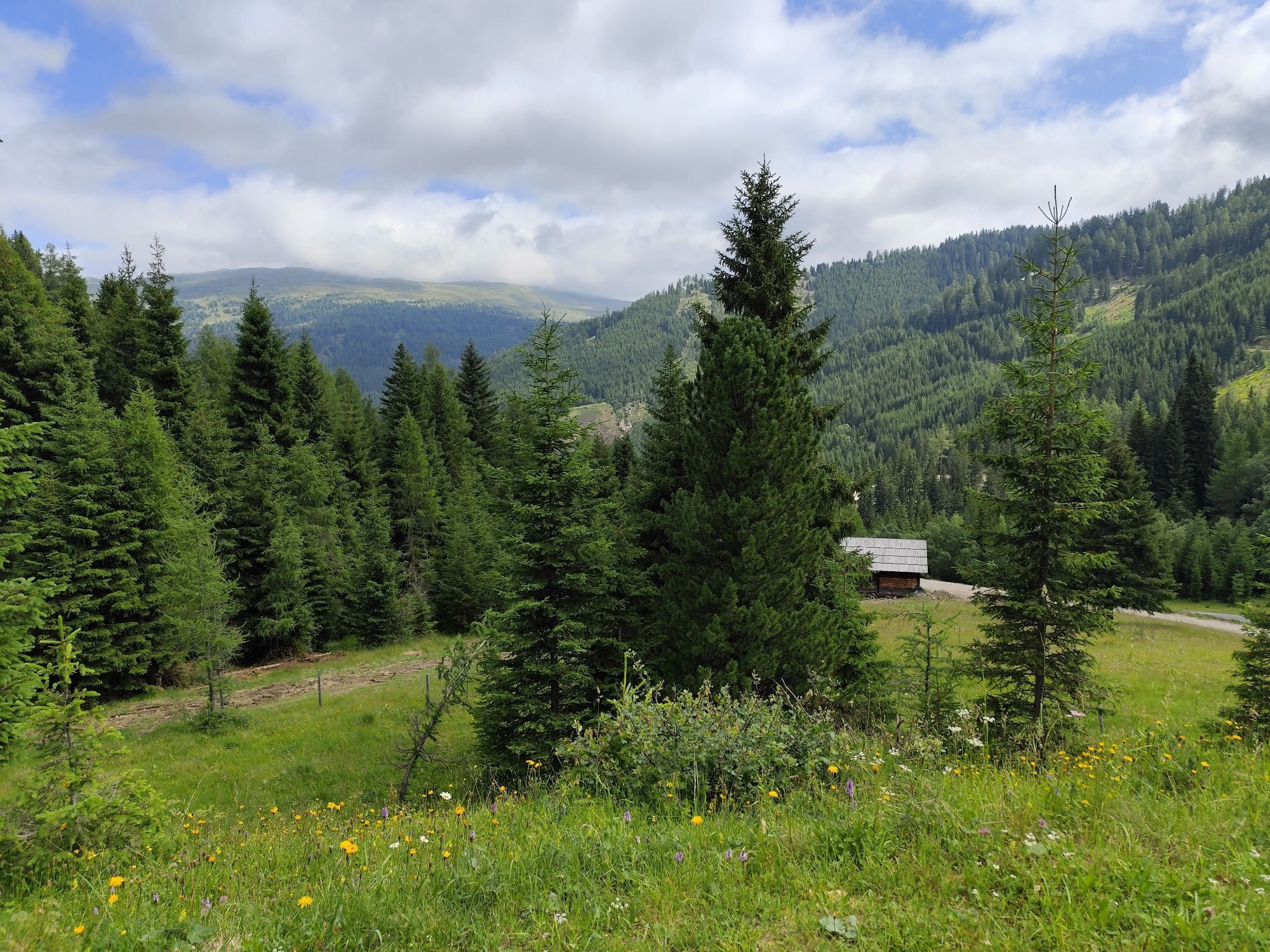
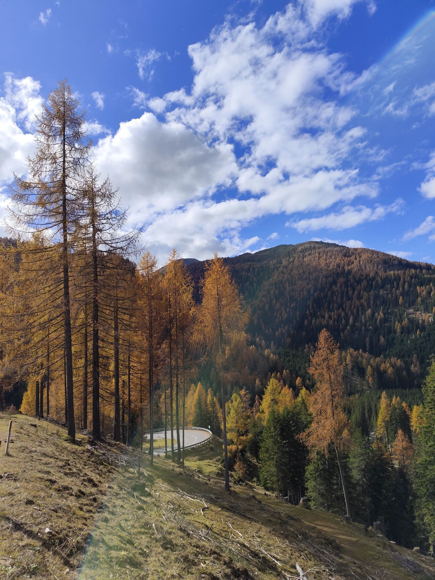
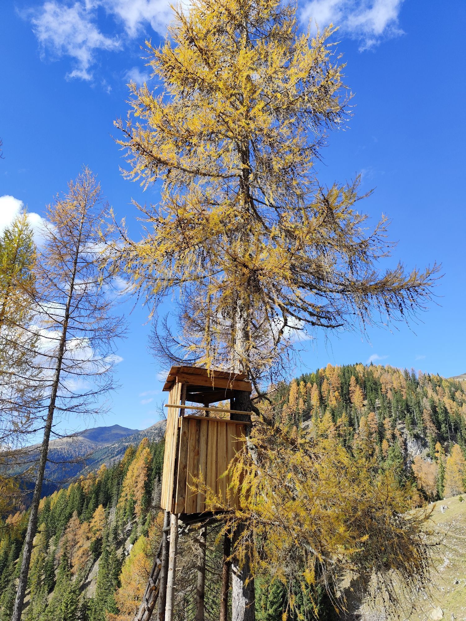
Along the way, there are repeatedly impressive views of the characteristic, gently rounded peaks, extensive alpine pastures, blooming mountain meadows, and vast spruce, larch, and stone pine forests – the largest of their kind in the entire Eastern Alps.
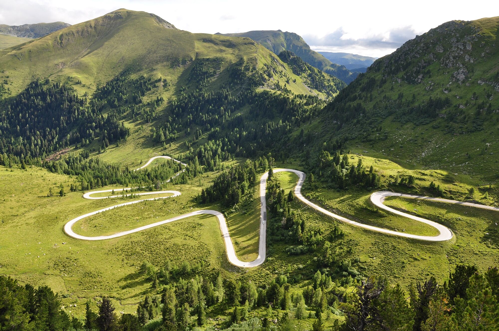
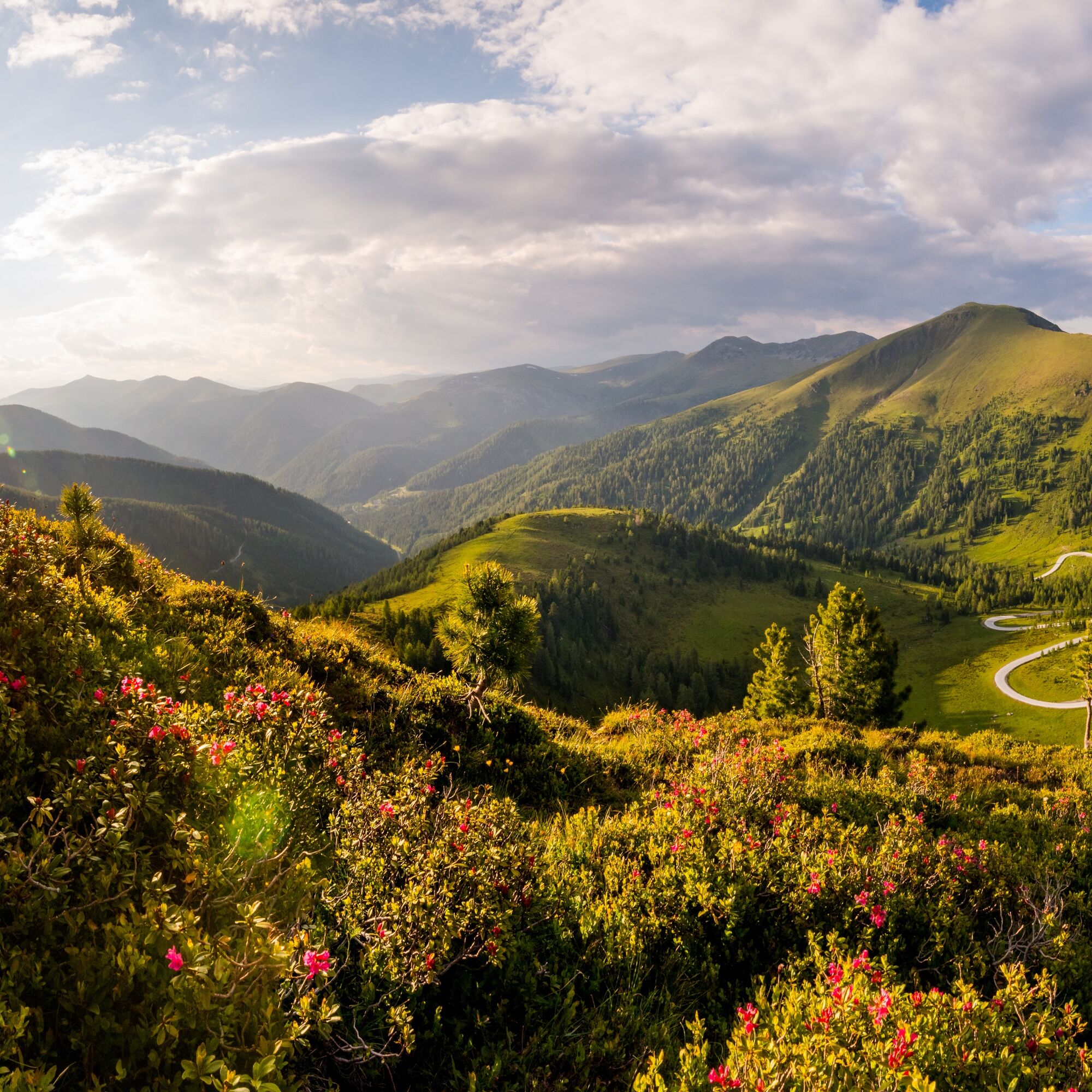

The route leads from Innerkrems (1,500 m above sea level) over gentle switchbacks first up to the Eisentalhöhe (2,042 m above sea level) – the highest drivable point of the road. It then continues over the Schönfeldhöhe and past well-known stops such as Karlbad, the oldest farmer's spa in Europe, through the idyllic Grundtal valley up to the Schiestelscharte. From there, the road winds down through the Winkltal valley to Ebene Reichenau.
Tak
Tak
Tak
Weather-appropriate clothing
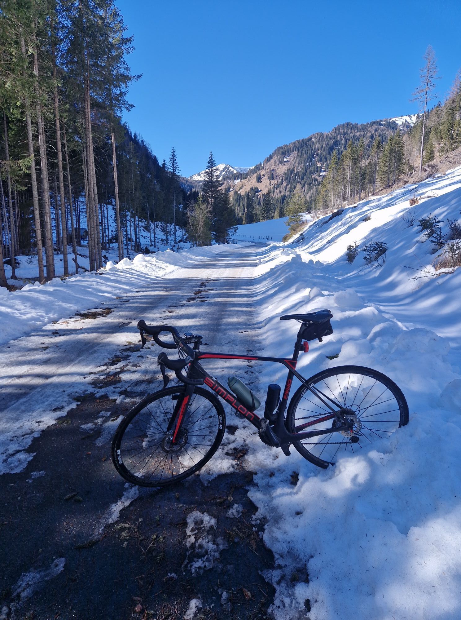
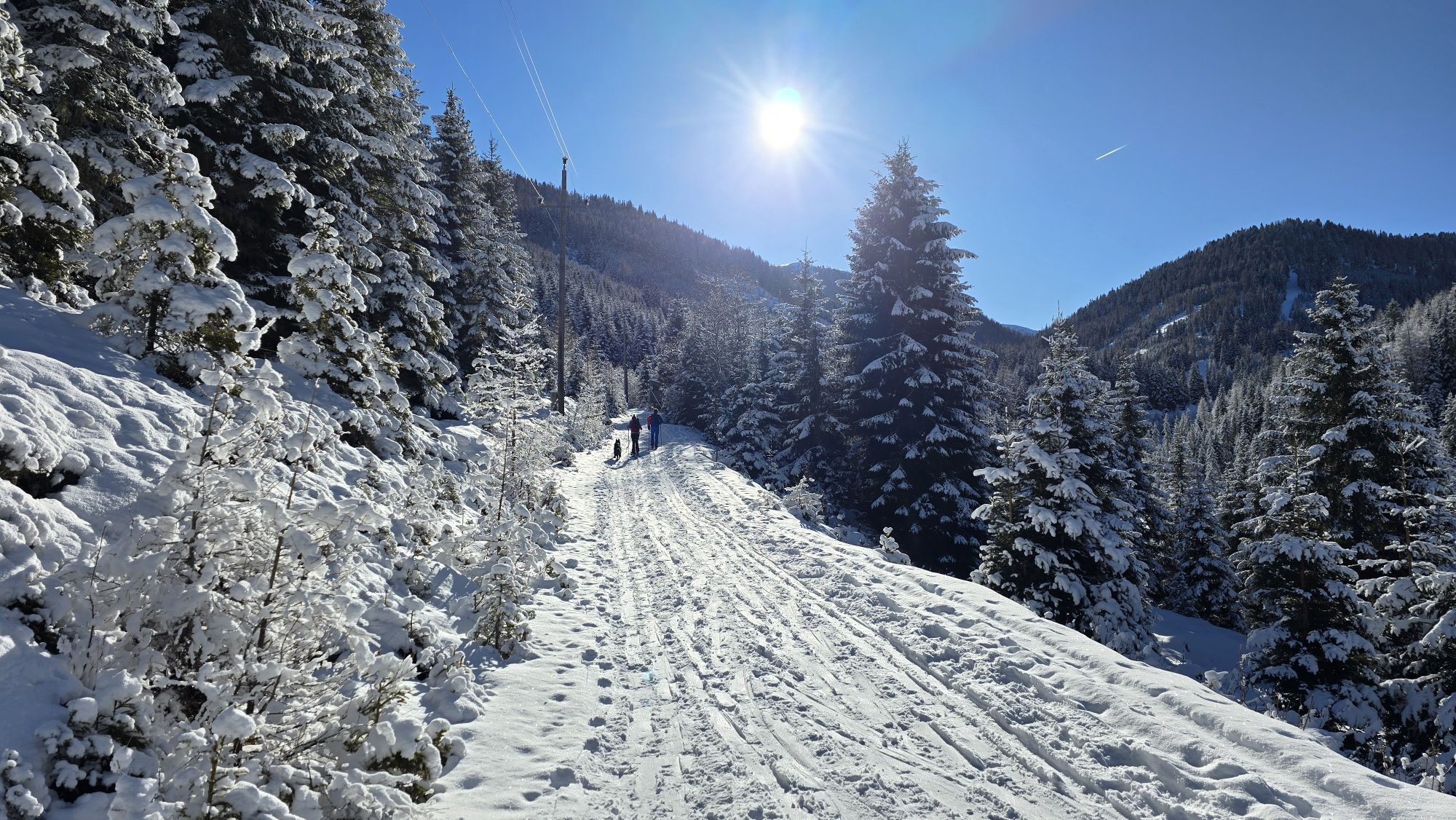
Winter closure from the end of October to early May
Opening hours & prices: www.nockalmstrasse.at/de/fuer-ihren-besuch/preise-oeffnungszeiten
The barrier is open during nighttime hours (from 18:00 to 8:00), but there is a motorcycle driving ban!
Basically, you can drive the Carinthian Nockalmstraße from Innerkrems or from Ebene Reichenau. The 34 km long panoramic road can be driven in both directions from early May to the end of October. Depending on which side you choose, your journey differs.
- via L19 to the Innerkrems toll station
- via B95 to the Ebene Reichenau toll station
With the public summer bus to the Nockberge
Vacation time means Nockberge time! Therefore, during the summer holidays, you can also explore the Nockberge with the public bus. The current timetable as well as connections to the surrounding towns can be found (soon) on the Nockalmstraße homepage.
Parking is available at the huts and excursion destinations.
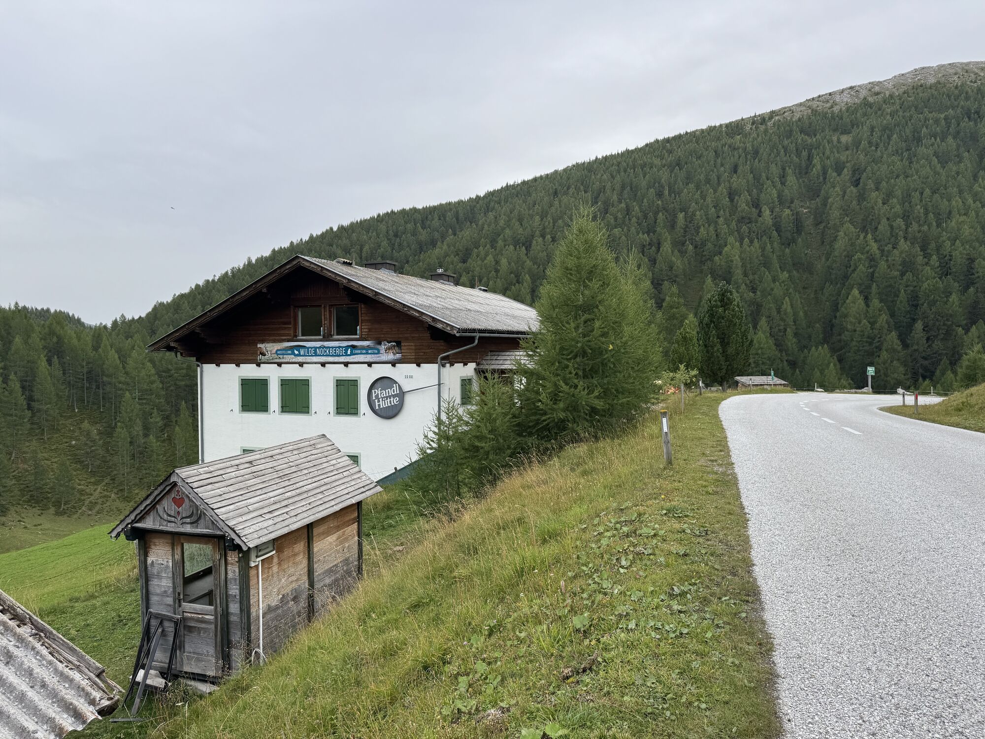
Along the Nockalmstraße numerous cozy alpine huts invite you to stop for a break – ideal for a hearty regional refreshment! Those who want to enjoy the Nockberge not only from the car will find many beautiful hiking trails along the route – from short walks to scenic summit routes there is something for every level of fitness.
The Nockalmstraße offers not only breathtaking views but also a variety of exciting and family-friendly excursion destinations that combine nature, culture, and enjoyment:
Windebensee
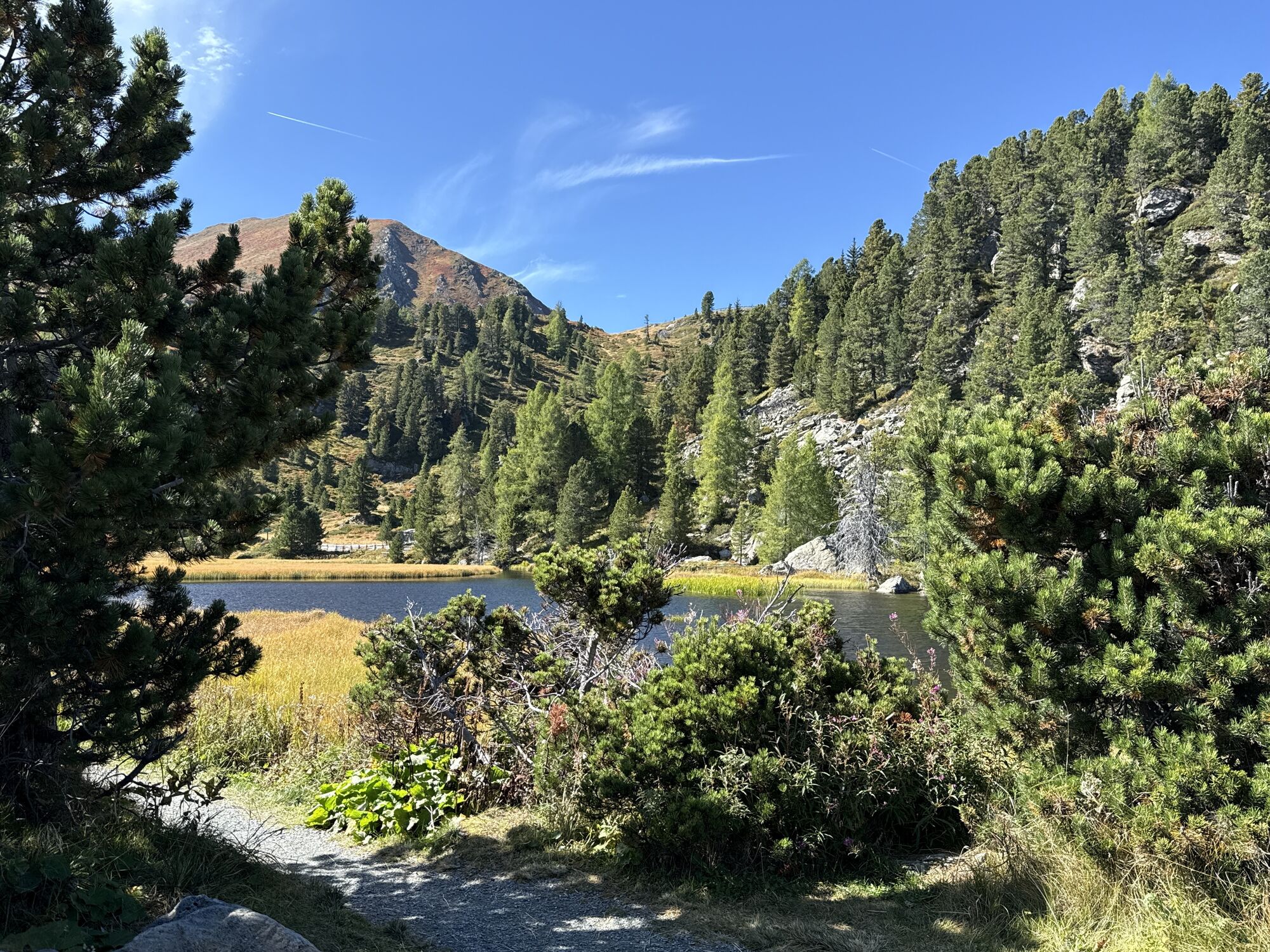
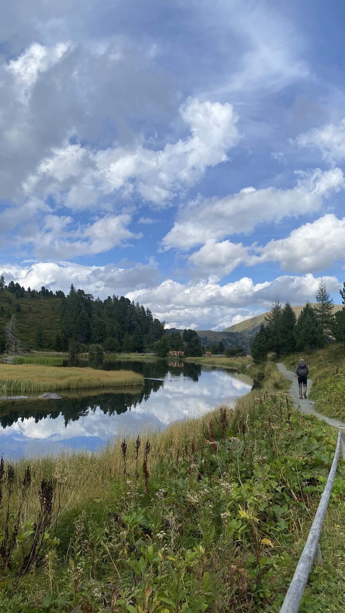
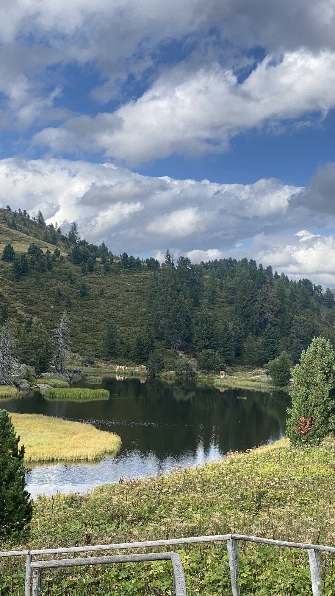
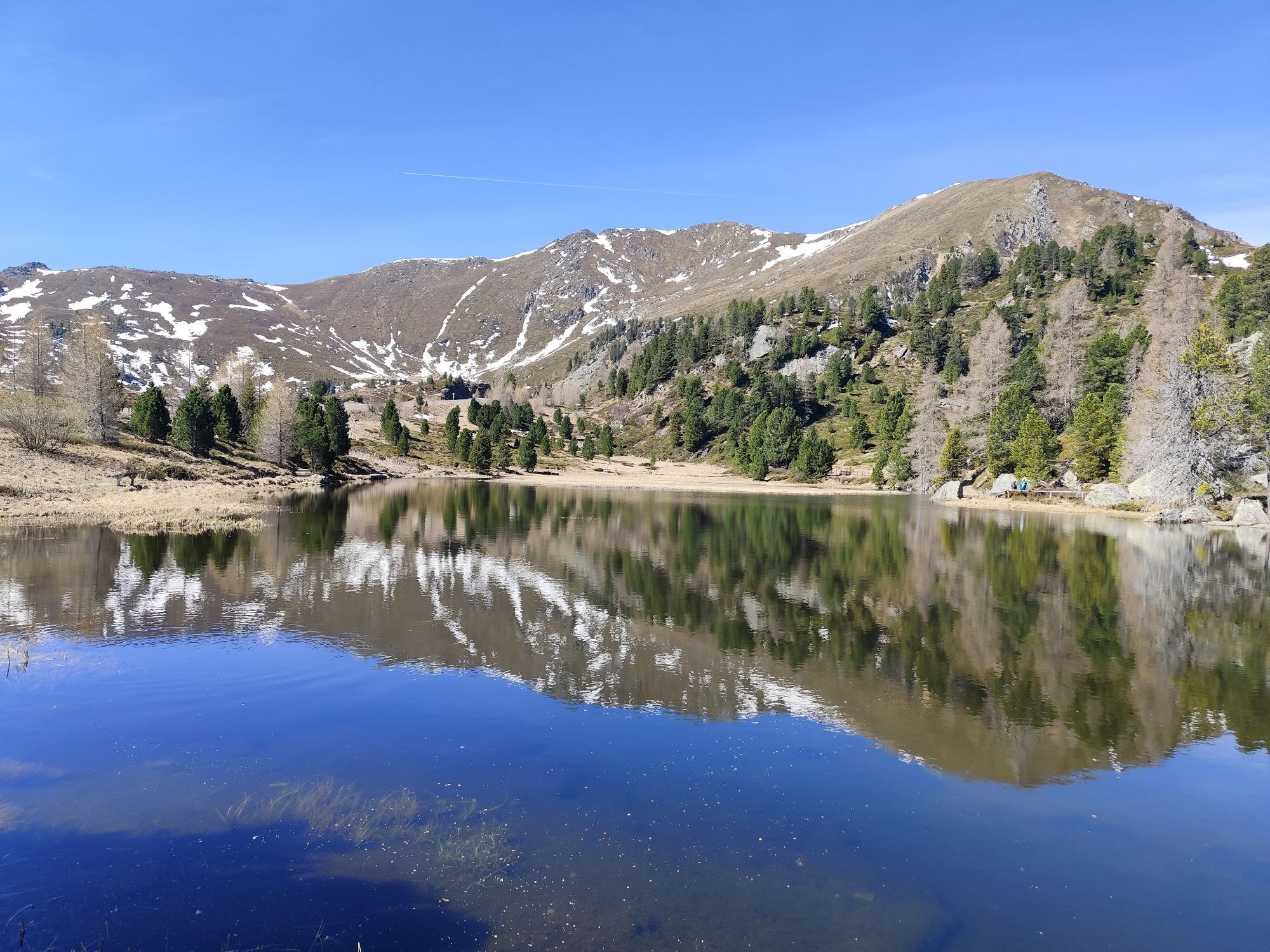
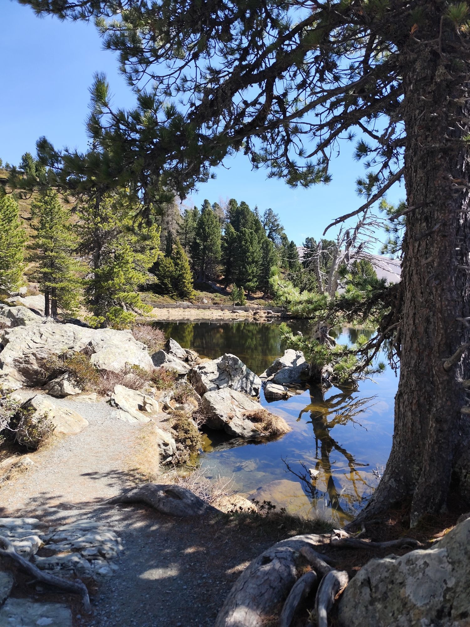
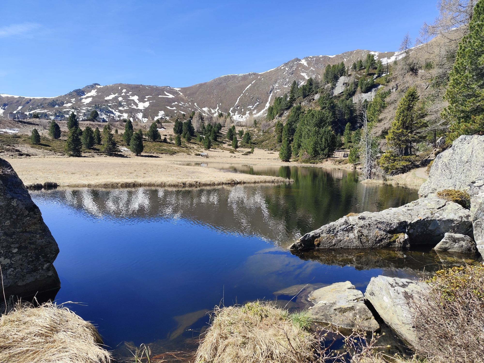
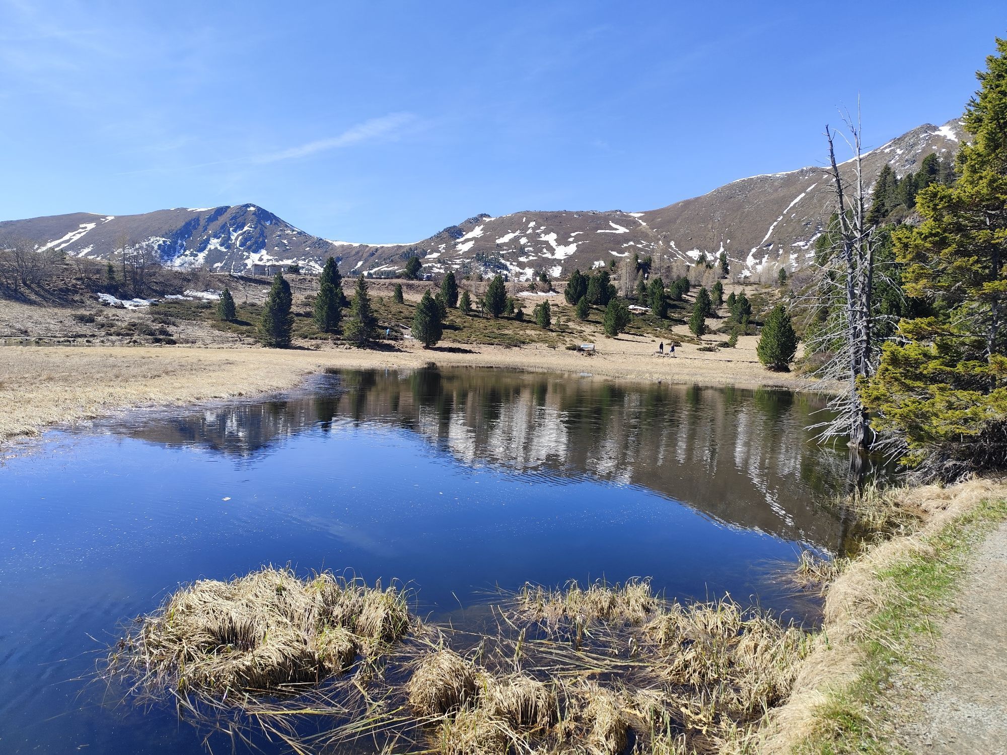
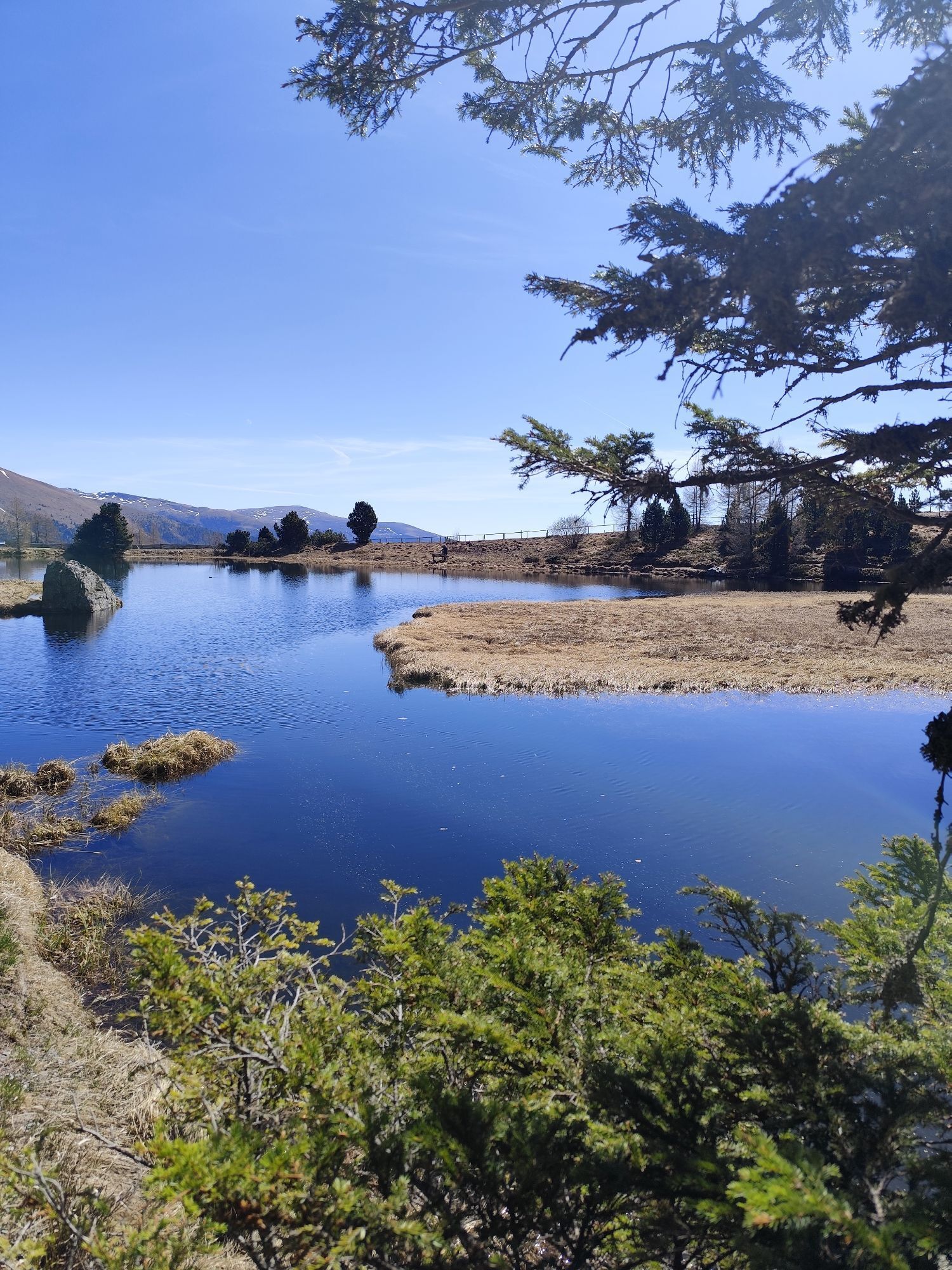
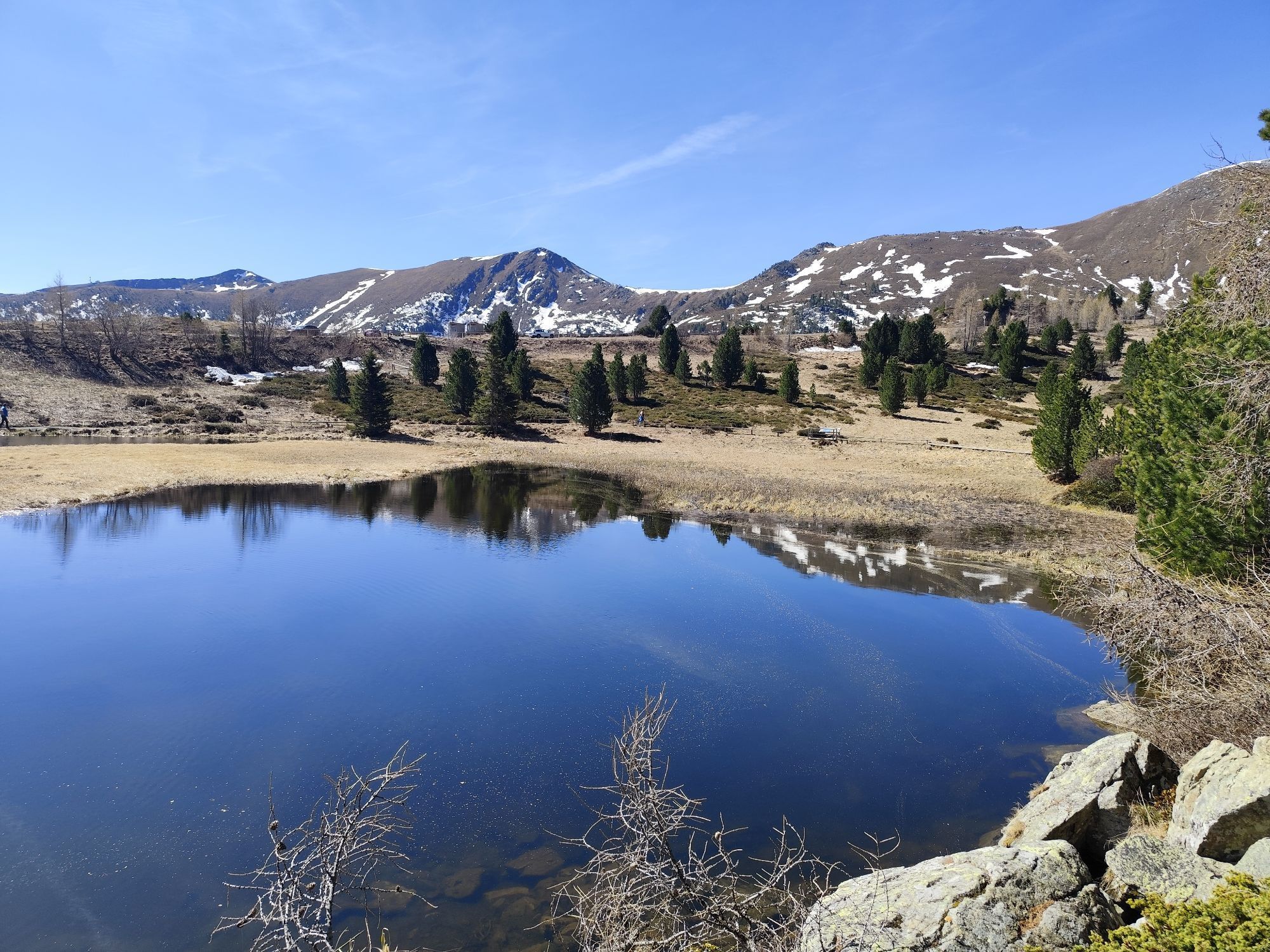
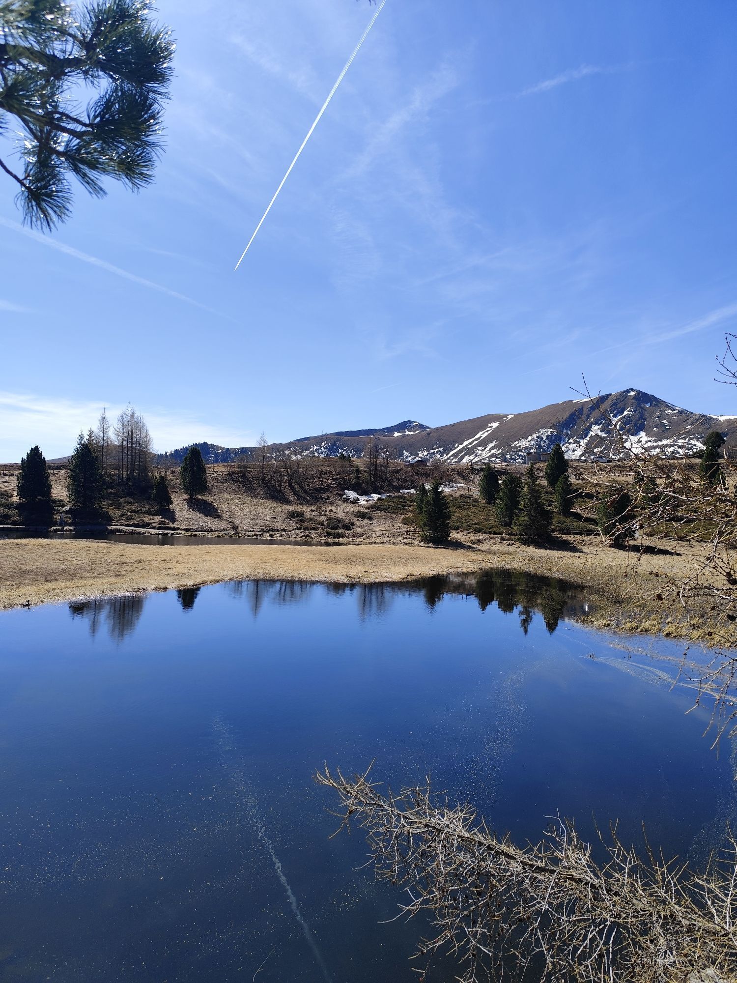
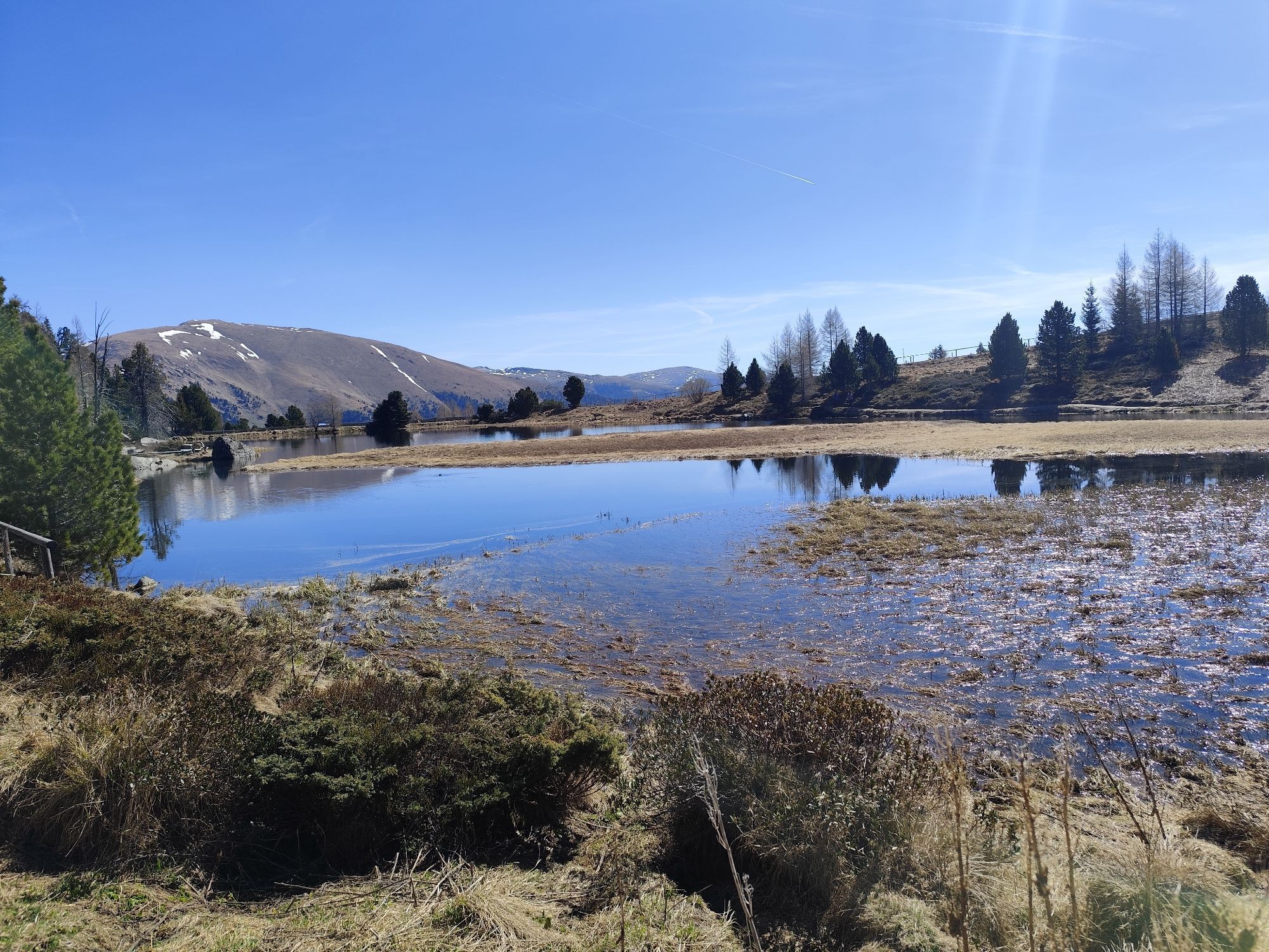
A true natural jewel along the Nockalmstraße! The Windebensee lies idyllically below the Glockenhütte and can be circled with a short walk. The small, high-alpine moor lake reflects the surrounding Nockberge and invites you to pause and enjoy – a perfect photo spot!
Glockenhütte
The Glockenhütte is one of the best-known places to stop along the Nockalmstraße. It offers not only Carinthian specialties in a cozy atmosphere but also a small path to the wishing bell, which according to legend grants wishes when rung.
Grundalm – Exhibition “Trees as Survival Artists”
Directly at the Grundalm there is an interactive exhibition devoted to the fascinating life of trees at extreme altitudes. Playful and informative explanations show how spruces, larches, and stone pines survive despite wind, weather, and poor soil – an exciting experience for young and old alike. Before or after visiting the exhibition, be sure to take a walk through the “Silva Magica,” the unique enchanted forest. Here you will learn even more about trees, magical nature spirits, and more.
Nockalmhof – Biosphere Park Center
Only three kilometers from Innerkrems, directly on the Nockalmstraße, lies the Nockalmhof, the central visitor center of the Biosphere Park. Here you will find the unique fossil exhibition “Fossil Worlds,” an info corner about the Biosphere Park, an interactive children's exhibition about bats, as well as a multimedia and 3D cinema. Gastronomy, a shop, playground, and info boards on the history of iron mining complete the offer – a perfect stop for the whole family.
Alpine Farming Museum Zechneralm
The unique alpine farming museum at Zechneralm impressively shows how arduous but also how beautifully simple the life of people in the mountains was in former times. At the farmers’ market you can buy agricultural products from the Nockalm area – and taste them right away. At the adventure playground “Marmot Burrow” right next to the alpine farming museum, kids scamper around like little sweet creatures.
The visit to all exhibitions along the Nockalmstraße is free of charge!
Kamery internetowe z trasy
Kornockbahn Bergstation
Schoberriegel
Bad Kleinkirchheim - Brunnach
Sonnlift - Heidi Alm Bergresort Falkert
Turracherhöhe/Hirschkogel
Nockalmstraße - Eisentalhöhe
Bergbahnen Turracher Höhe
Falkert Nord
Heidi-Hotel
Heidi-Chalets
Zechneralm
Almzeithütte
Almzeithütte
Almzeithütte
Bad Kleinkirchheim - Brunnach
Schönfeld
Innerkrems
B95 Turracher Höhe



Popularne wycieczki w okolicy
- 4,6
Turracher 3 Seen Weg - Weg der Sinne zwischen Berg & See
światłoTrasa tematyczna 7,15 km - 4,9
Schönfeld: Großer Königstuhl
średniWędrówka 11,2 km - 4,8
Schoberriegel - Schönebennock -
światłoWędrówka 9,88 km - 4,8
Enzian-Granatsteig & Almbrunn Steig
światłoWędrówka 8 km - 4,9
Nockbergrundwanderweg
średniWędrówka 6,62 km - 4,7
Falkertsee - Sonntagstal - Falkert
średniWędrówka 4,84 km - 4,8
Gr. Königsstuhl, Nockalm, Kärnten
średniWycieczki górskie 7,15 km - 4,8
Lammersdorfer Hütte, Granattor Runde
światłoWędrówka 9,85 km - 4,7
Große Rosennock Runde
Wędrówka 9,80 km - 4,8
St. Oswald - Circular hike - Mallnock - Klomnock
średniWędrówka 10,9 km
Wędrówki i tropienie


Nie przegap ofert i inspiracji na następne wakacje
Twój adres e-mail została dodana do listy mailingowej.





