


Health run - Warmbad running and trailrunning arena
Poziom trudności: 1
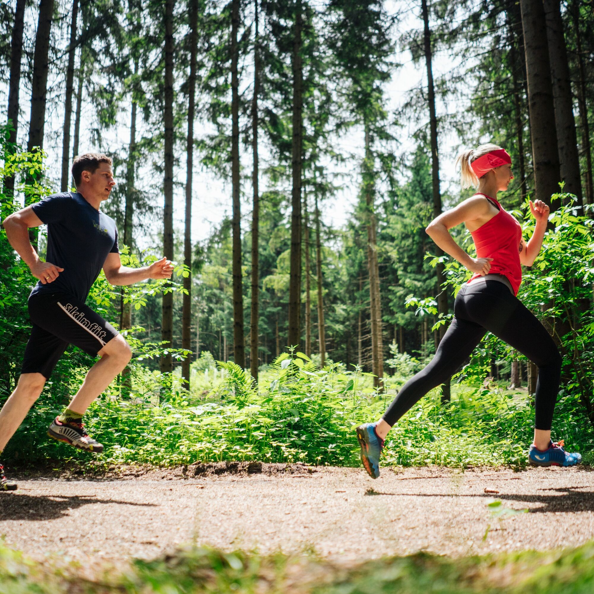
Running and nature experience – two basic needs that come together in the new running and trailrunning arena Villach Warmbad. The network of routes of the newly developed running and trailrunning arena...
Running and nature experience – two basic needs that come together in the new running and trailrunning arena Villach Warmbad. The network of routes of the newly developed running and trailrunning arena offers seven selected running and trailrunning routes with a total length of over 50 km. Diverse natural spectacle meets versatile running experience!

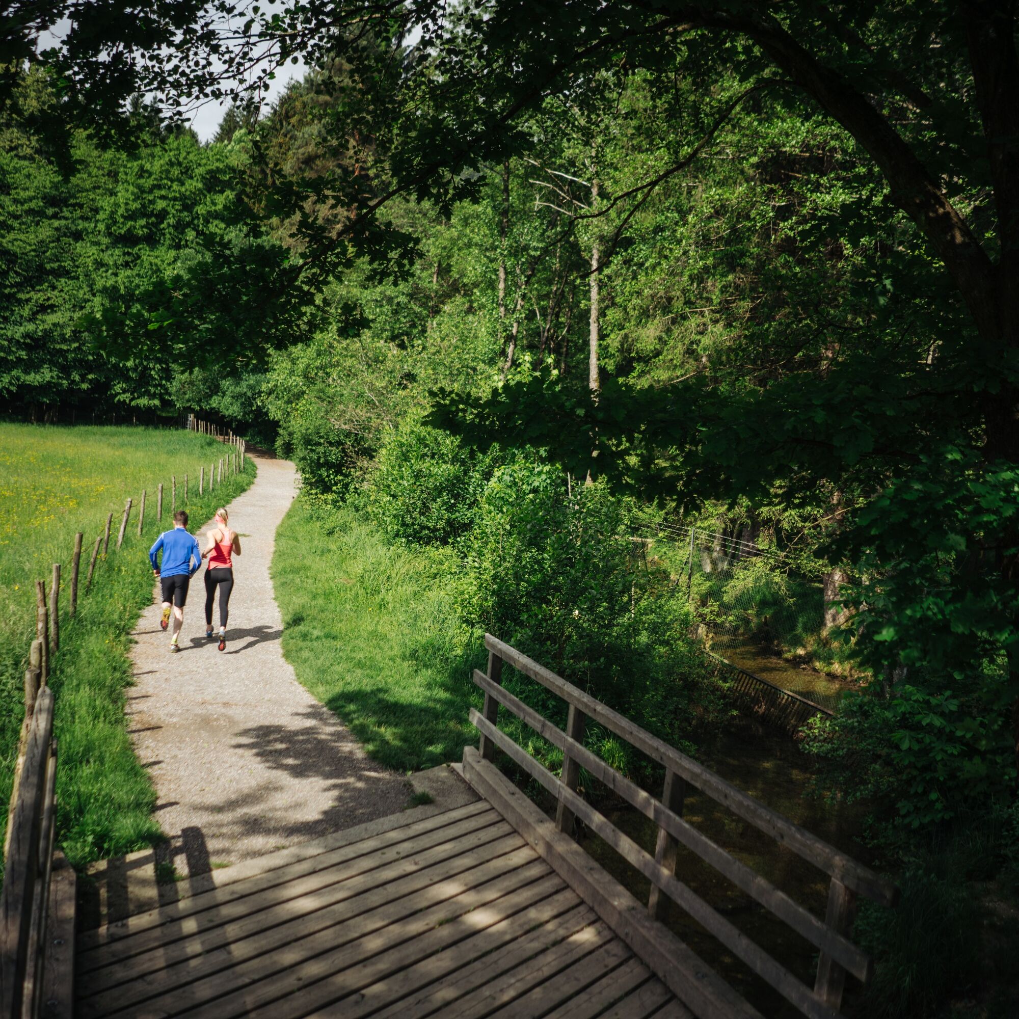
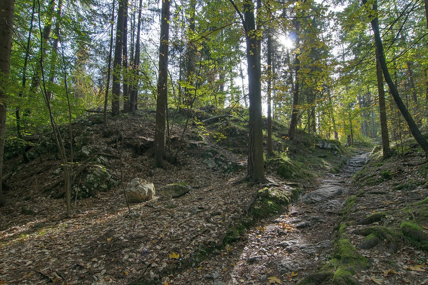
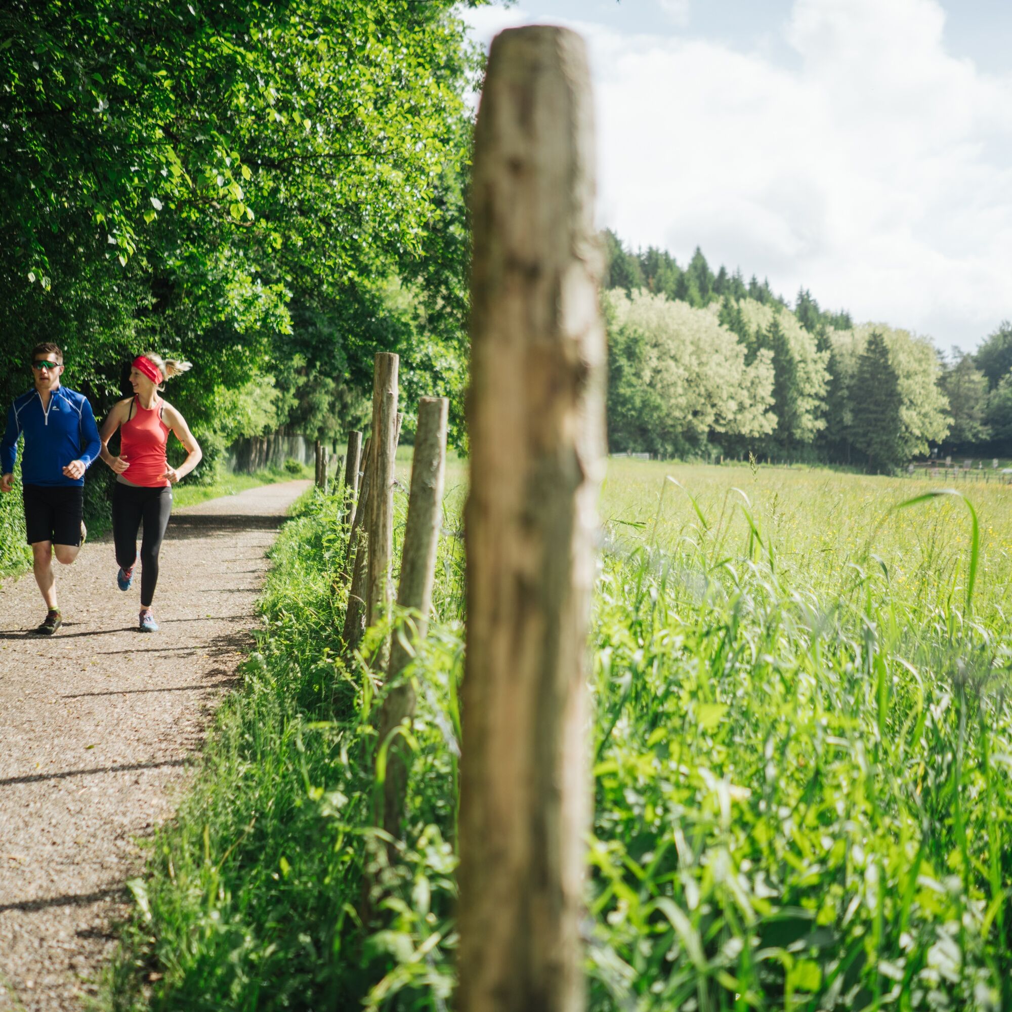
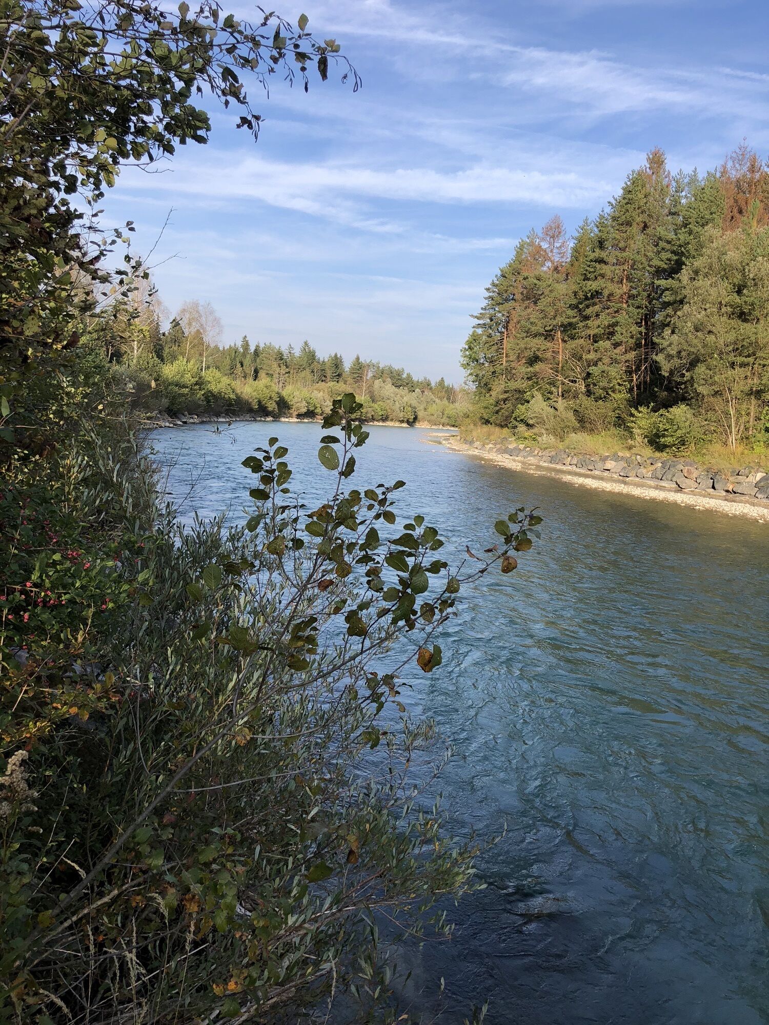
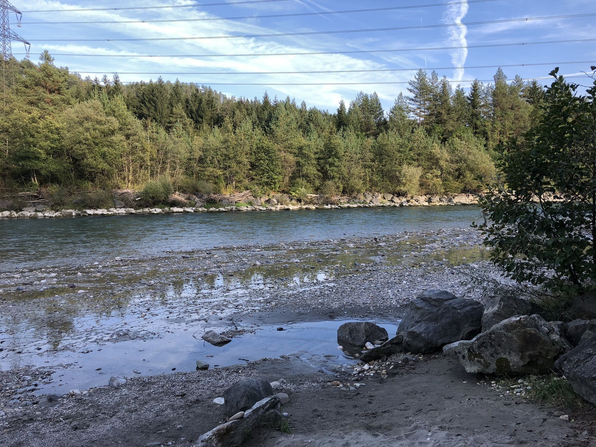
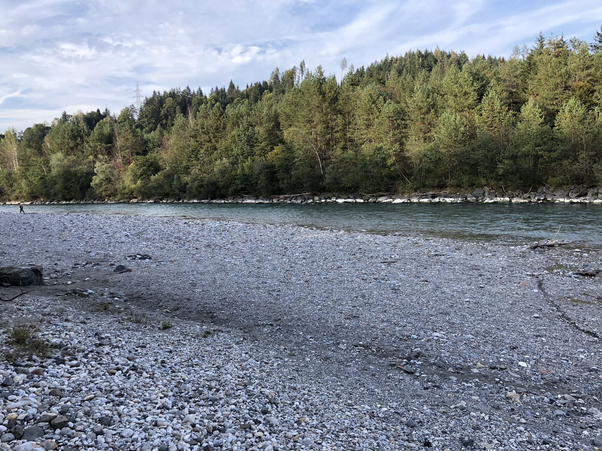
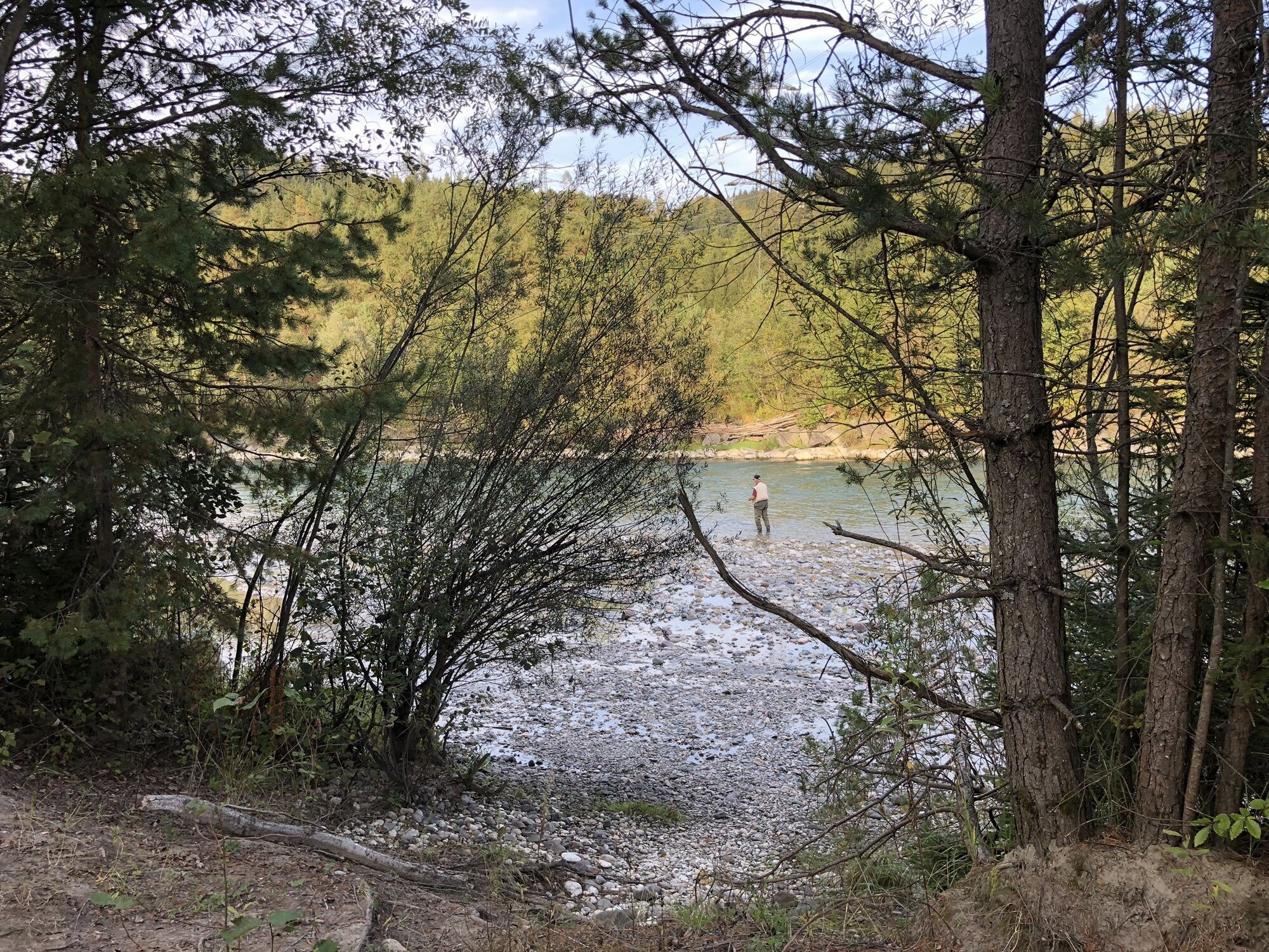
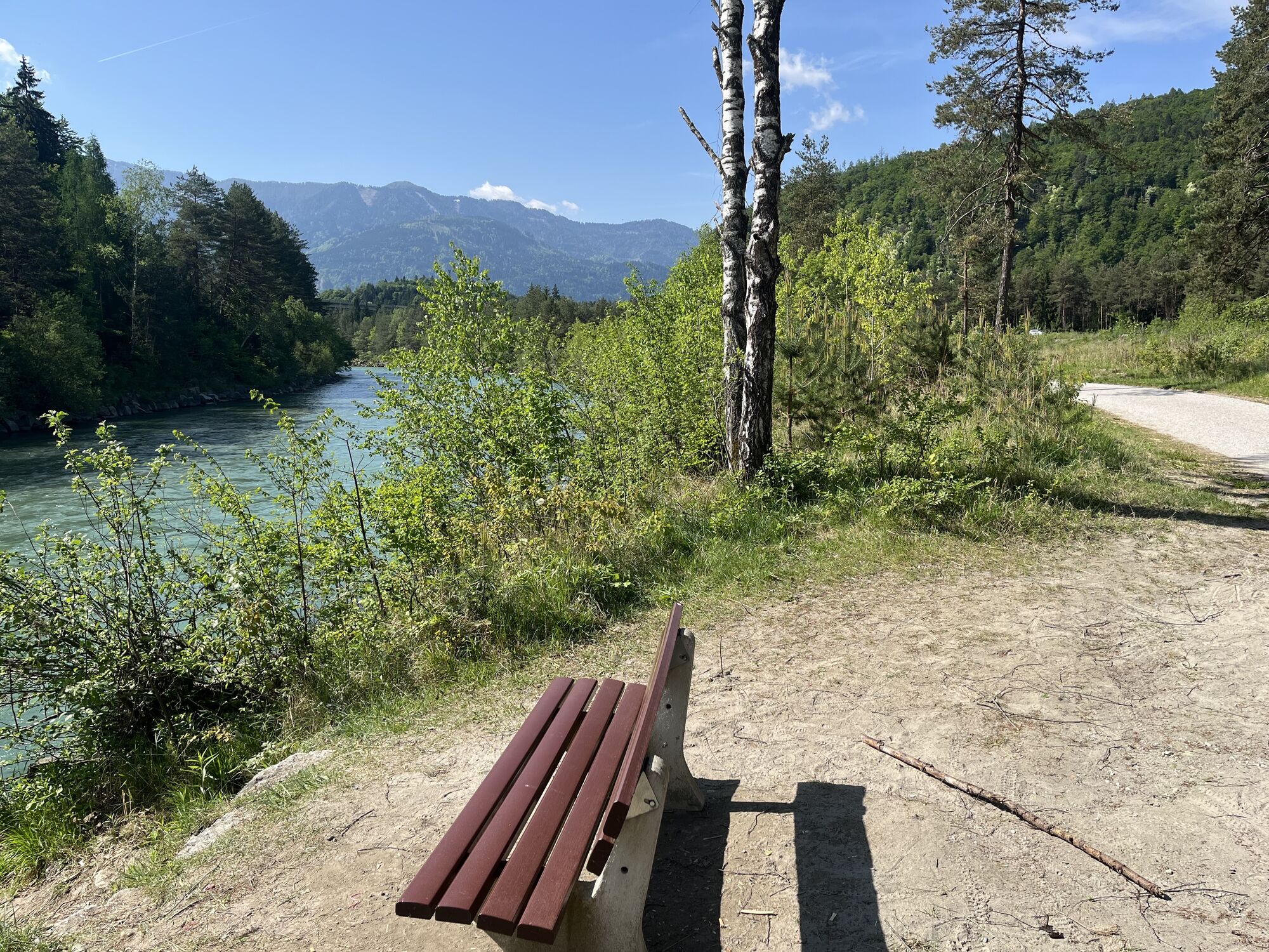
Starting from the starting point Sportpark, follow the running signs to the southern end of the driving range and turn left at the end of the path before the railway embankment. For a few meters, you go along the railway embankment before turning left into a forest section. The running route crosses the L51 Gödersdorfer Straße once, then follow the pedestrian and cycle path to the Gail bridge. Before the bridge, turn left and after a few meters left again. Downstream, follow the flat asphalted pedestrian and cycle path until you reach a wooden bridge with an adjacent parking lot. Here, keep left and follow the path along the Warmbach back to the starting point.
Running shoes with good tread sole, running clothes, drinks, change of clothes, mobile phone, first aid
The route mainly leads over steep forest and woodland paths, which require secure, coordinated, and controlled running technique. Two different runner icons were developed to distinguish the trailrunning routes from the normal running routes and are visible on every additional signposting.
The Warmbad thermal resort is accessible via the Tauern motorway (A10), the Südautobahn (A2) towards Italy (exit Warmbad-Villach) and the Warmbader Allee.
Warmbad-Villach is accessible at regular intervals by public transport.
There are plenty of paid parking spaces at the Carinthia Thermal Spa. There are also free parking spaces in the immediate vicinity.
1
Popularne wycieczki w okolicy
- 4,5
Auf den Dobratsch mit der ganzen Familie
Wędrówka 8,40 km - 4,4
Finsterbach Waterfalls - Circular route
średniWędrówka 3,87 km - 4,7
Gailtaler Alpen: Wanderung auf der Dobratsch
średniWędrówka 8,50 km - 4,6
Rotschitza Klamm Klettersteig B/C
średniVia ferrata 3,73 km - 4,9
4 Huts Route
średniWędrówka 8,96 km - 4,5
Baumgtn. Höhe, Mallestiger Mittags- und Schwarzkogel
ciężkiWędrówka zimą 10,7 km - 4,4
Krnica Hut
średniWędrówka 14,9 km - 4,4
Mallestiger Mittagskogel
średniWędrówka 8,17 km - 3,8
Lake Ossiach cycle path - R2 and R2A
średniJazda na rowerze 28,2 km - 4,3
Mittagskogel - Rundwanderung
ciężkiWędrówka 14,5 km
Wędrówki i tropienie


Nie przegap ofert i inspiracji na następne wakacje
Twój adres e-mail została dodana do listy mailingowej.