






At the beginning of Lake Ossiach - Movement Arena Lake Ossiach

Poziom trudności: 1
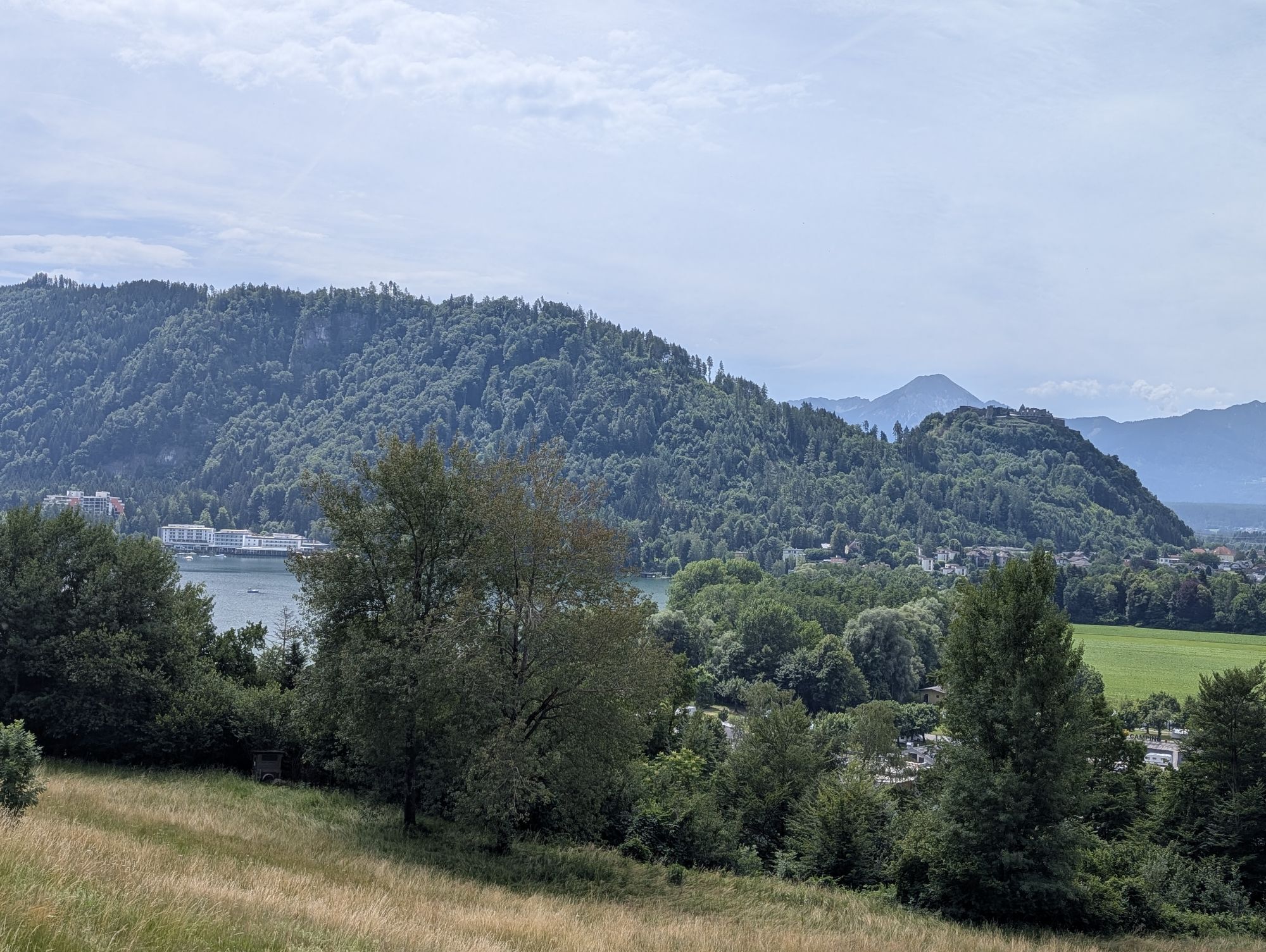
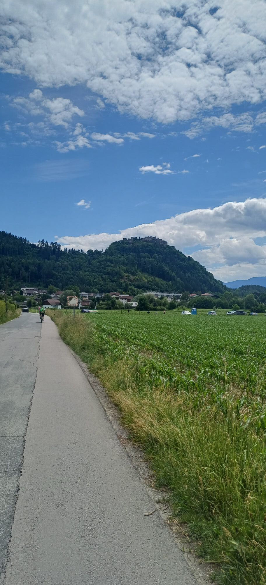
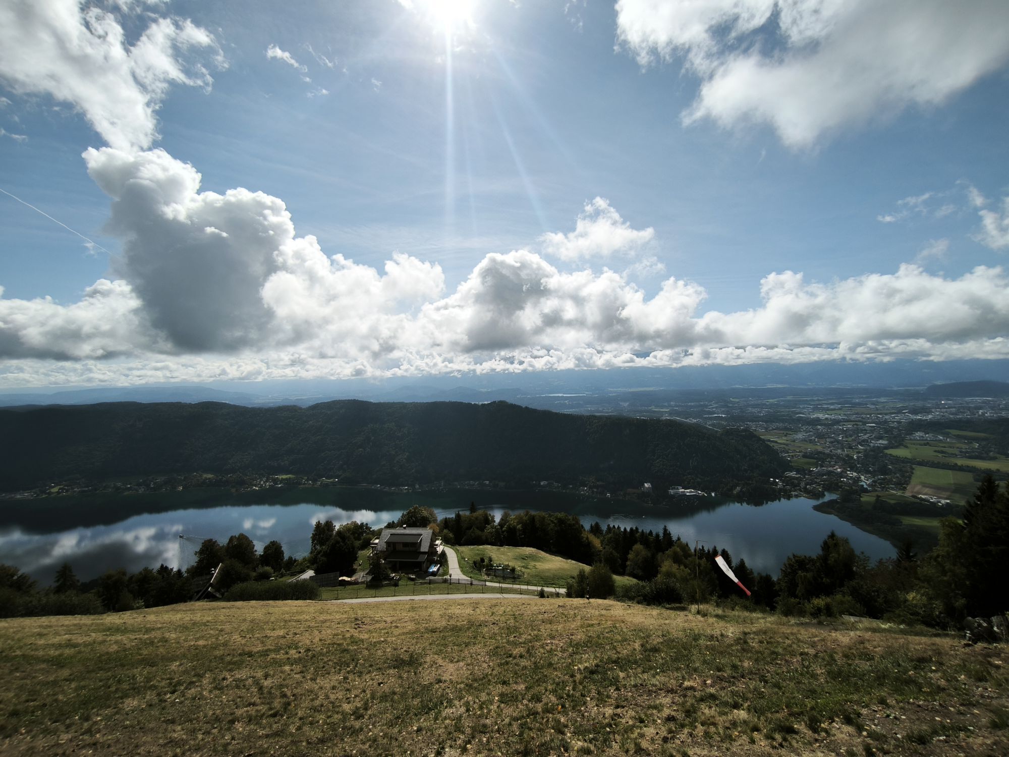



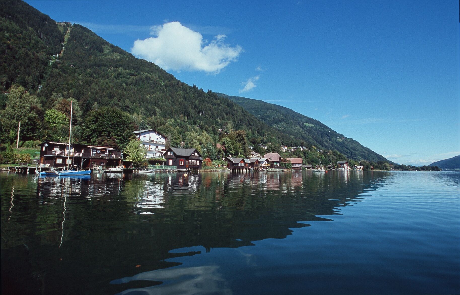

The start of this route is the hiking and route starting point in Annenheim with a view of Lake Ossiach. Along the footpath and cycle path, the route with orange directional signs leads to the CampingBad Ossiacher See and shortly afterwards turns left onto a field path. Along the idyllic shore path, you walk through the nature and landscape conservation area of the west bay until just before km 2.0 you cross the Ossiacher Straße. Over the Moosweg, the route leads to Niederdorf Seespitz and after a short climb to the Julienhöhe. At km 4.0 you turn right onto the forest path and reach the starting point again via the descending Sonnenweg.
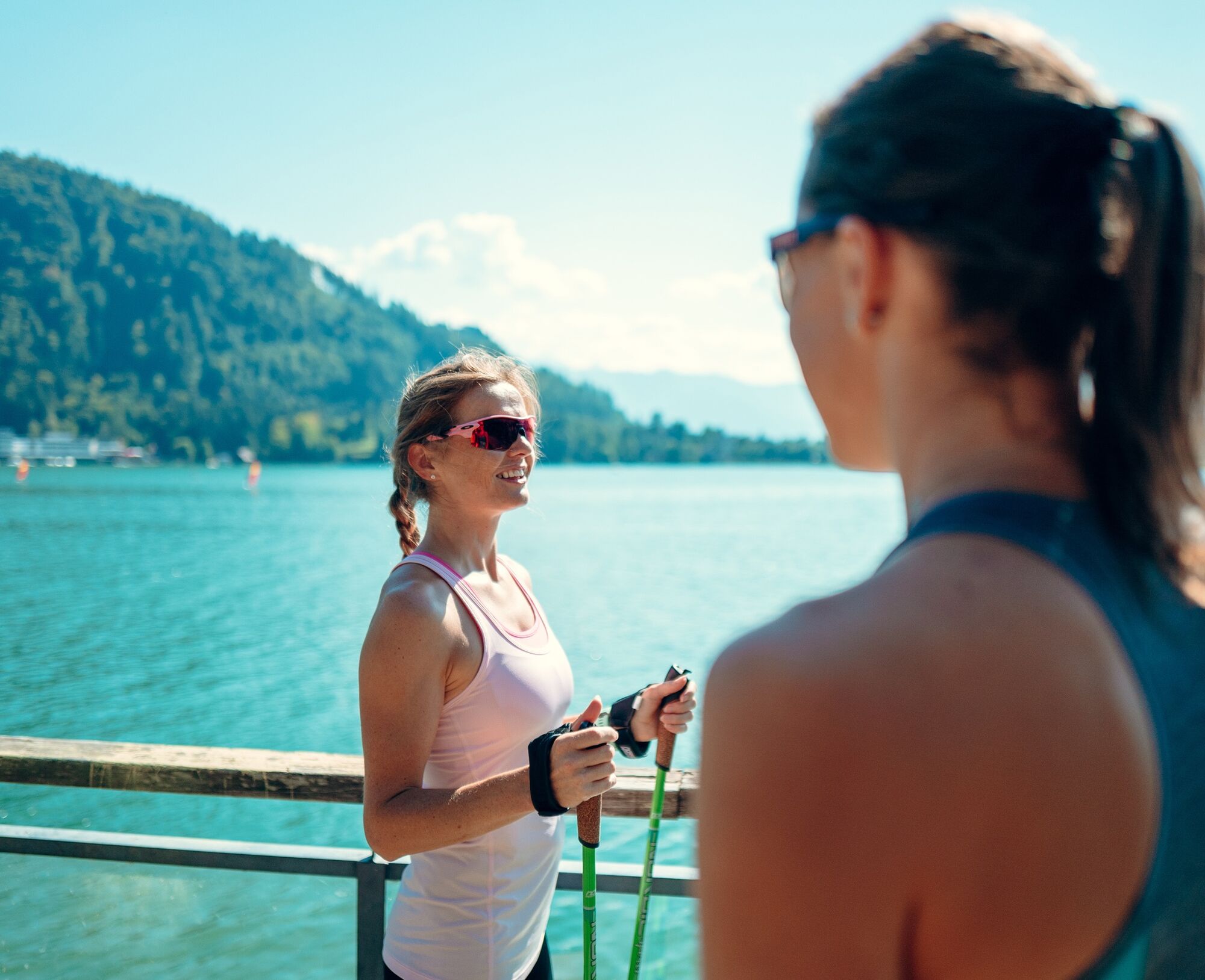
Running clothing, change of clothes, running shoes with good tread, Nordic walking poles, drink
From Villach, you reach the town center of Annenheim on Lake Ossiach via the B94 Ossiacher See Road.
The town center of Annenheim is regularly accessible by public transport.
At the hiking and route starting point in Annenheim (shortly after the Landskron junction heading towards Annenheim) there are sufficient parking spaces on both sides of the B94 Ossiacher See Road.
1
Kamery internetowe z trasy

Popularne wycieczki w okolicy
-
4,7
4 Huts route
średniWędrówka 8,96 km -
5,0
Amberg: Palnock 1901m, Schwarzsee, Rundstrecke
średniWędrówka 7,94 km -
4,4
Finsterbach Waterfalls - Circular route
średniWędrówka 3,87 km -
4,5
Mallestiger Mittagskogel
średniWędrówka 8,17 km -
4,3
Lake circular trail
światłoNordic Walking 9,85 km -
4,2
Schwarzsee circular hiking trail
średniWędrówka 7,79 km -
4,7
Rotschitza Klamm Klettersteig B/C
średniVia ferrata 3,73 km -
4,7
Baumgtn. Höhe, Mallestiger Mittags- und Schwarzkogel
ciężkiWędrówka zimą 10,7 km -
4,2
Slow Trail Bleistätter Moor (Variant A)
światłoWędrówka 7,22 km -
4,0
Lake Ossiacher See cycle path – R2 & R2A
średniJazda na rowerze 28,2 km
Wędrówki i tropienie


Nie przegap ofert i inspiracji na następne wakacje
Twój adres e-mail została dodana do listy mailingowej.





