


Long-distance trail Wiener Höhenweg

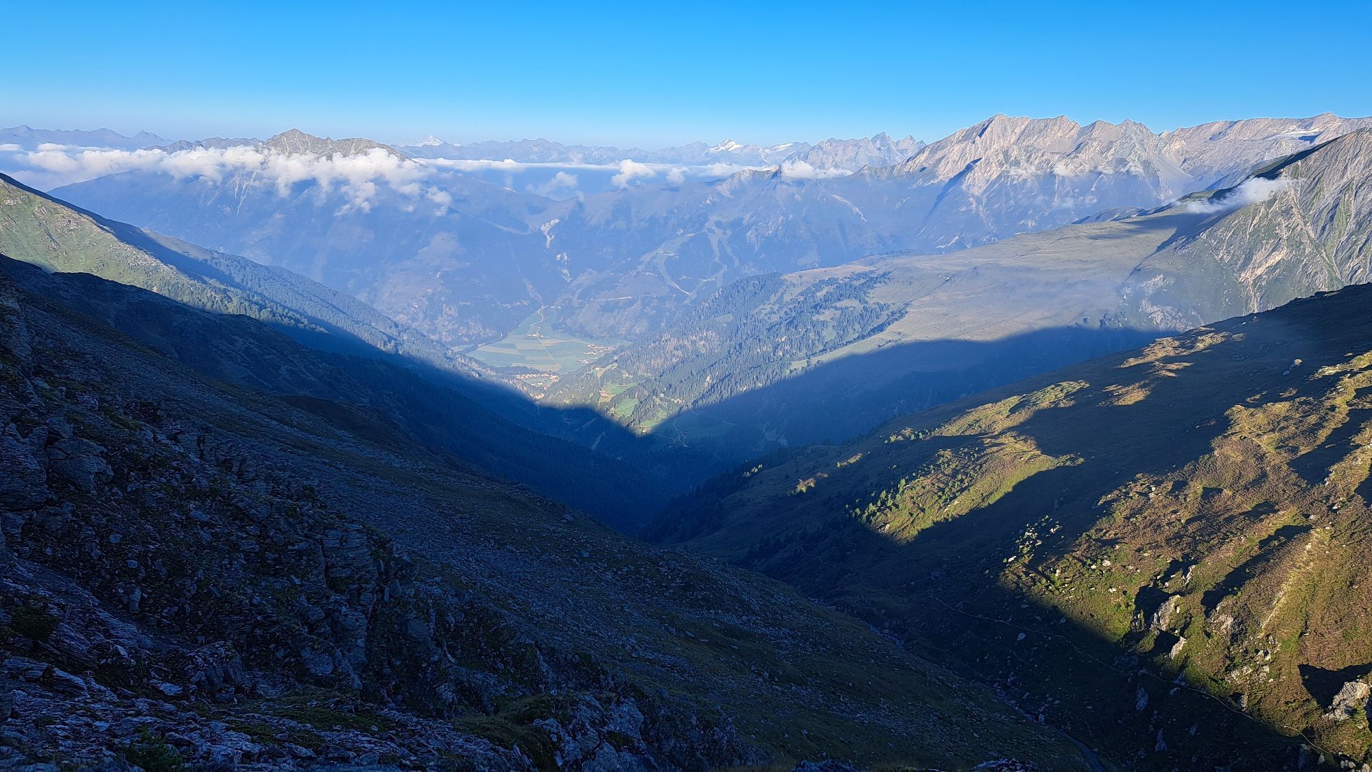


In five stages the Wiener Höhenweg leads through the Schober Group (East Tyrol, Upper Carinthia) in the Hohe Tauern National Park past turquoise lakes, primeval rock formations, several three-thousanders...
In five stages the Wiener Höhenweg leads through the Schober Group (East Tyrol, Upper Carinthia) in the Hohe Tauern National Park past turquoise lakes, primeval rock formations, several three-thousanders and alpine historically significant mountain huts. Vertigo-free and familiar with firn fields as well as secured rope passages! Not a route for trekking beginners, but a great route for trekkers with corresponding alpine experience!


1st stage:
Winklerner Hut - Wangenitzsee Hut
Character: easy, mostly good trail, only a short secured section above the Wangenitzsee
Highest point: Upper Seescharte (2,604 m)
Walking time: 4 hours
Height meters: ascent 697 m, descent 100 m
Distance: 8.2 km
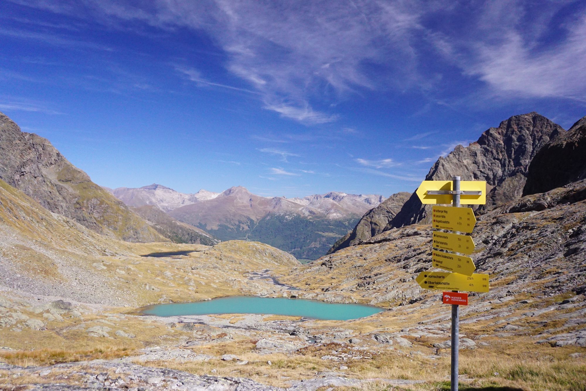
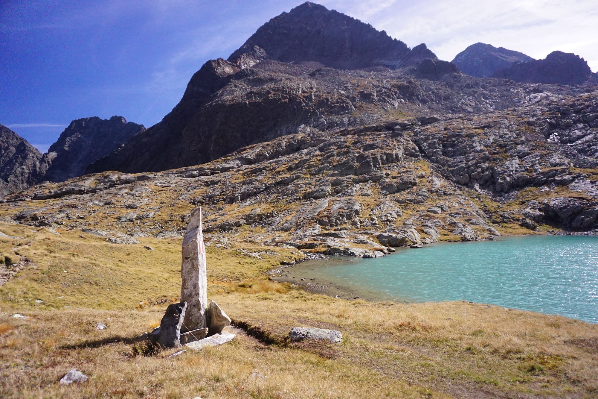
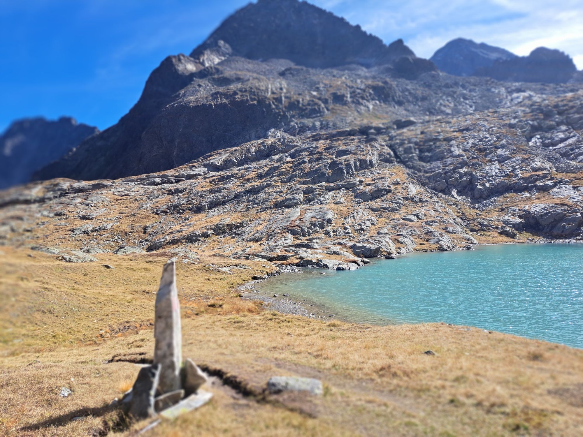
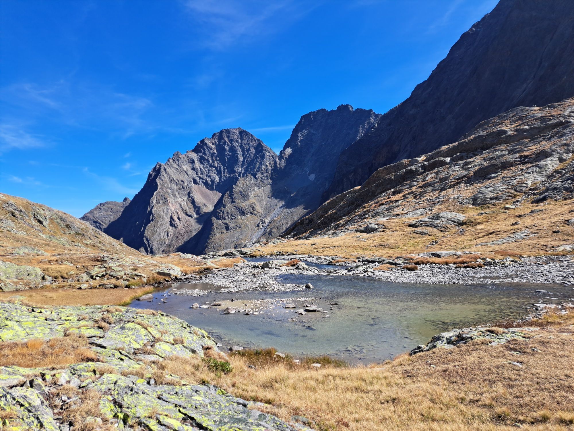
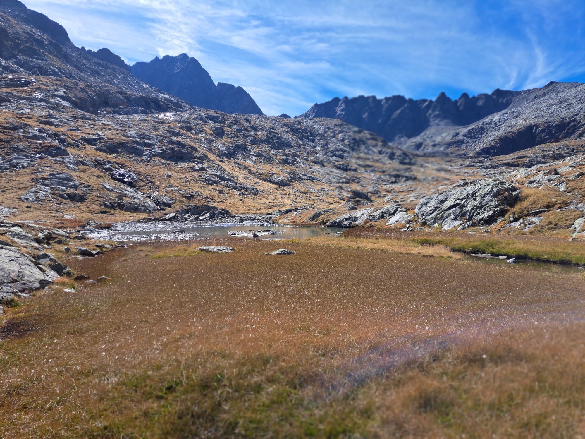
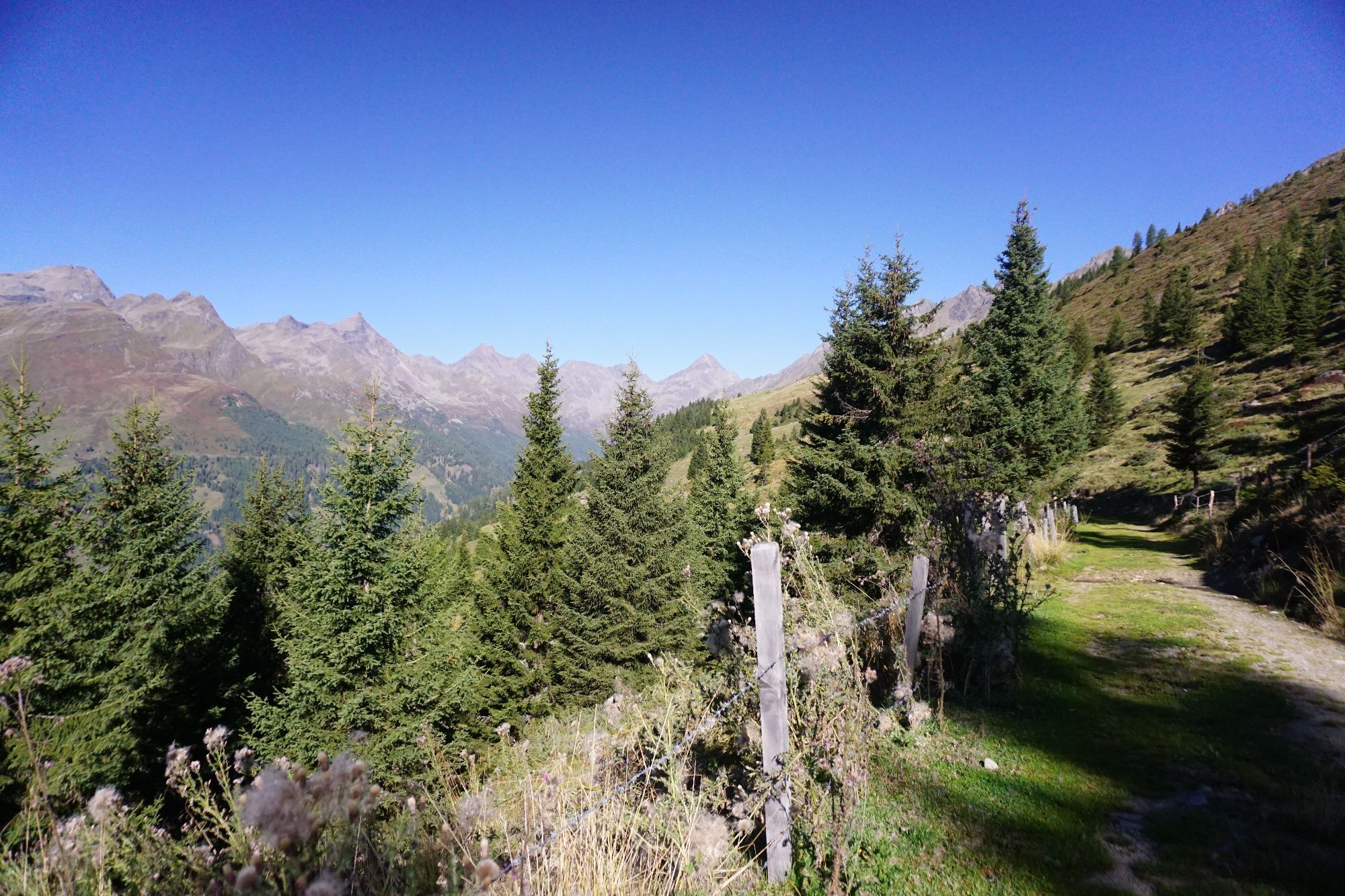
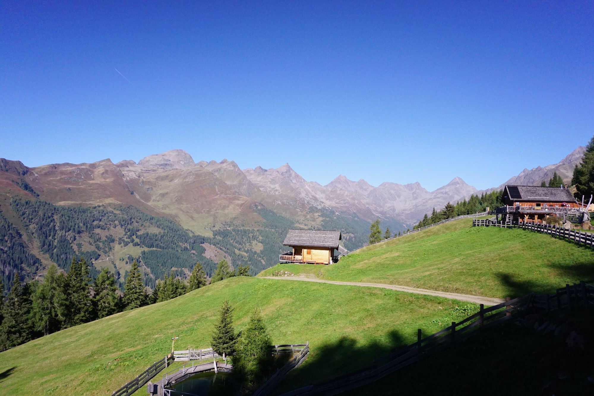
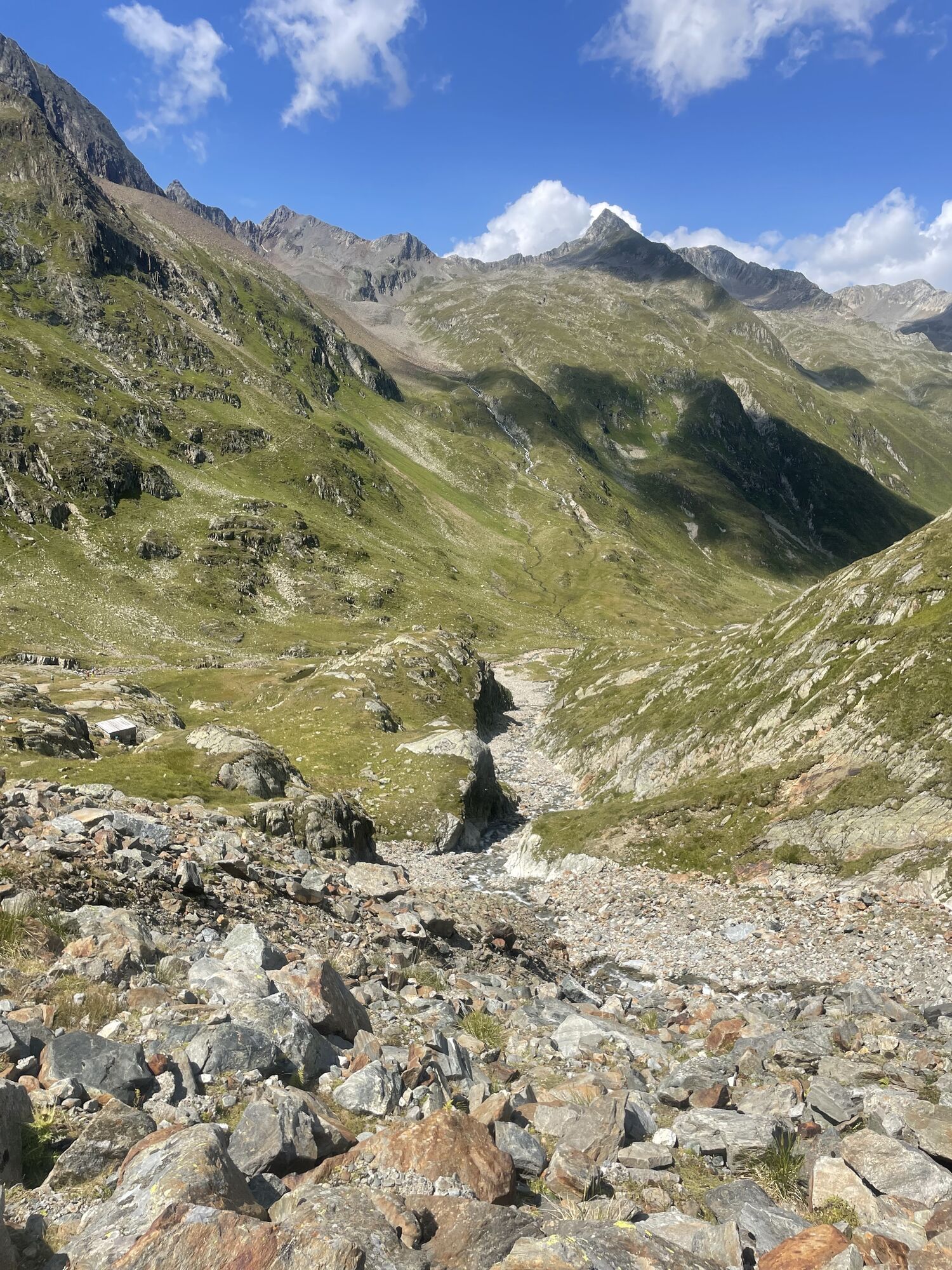
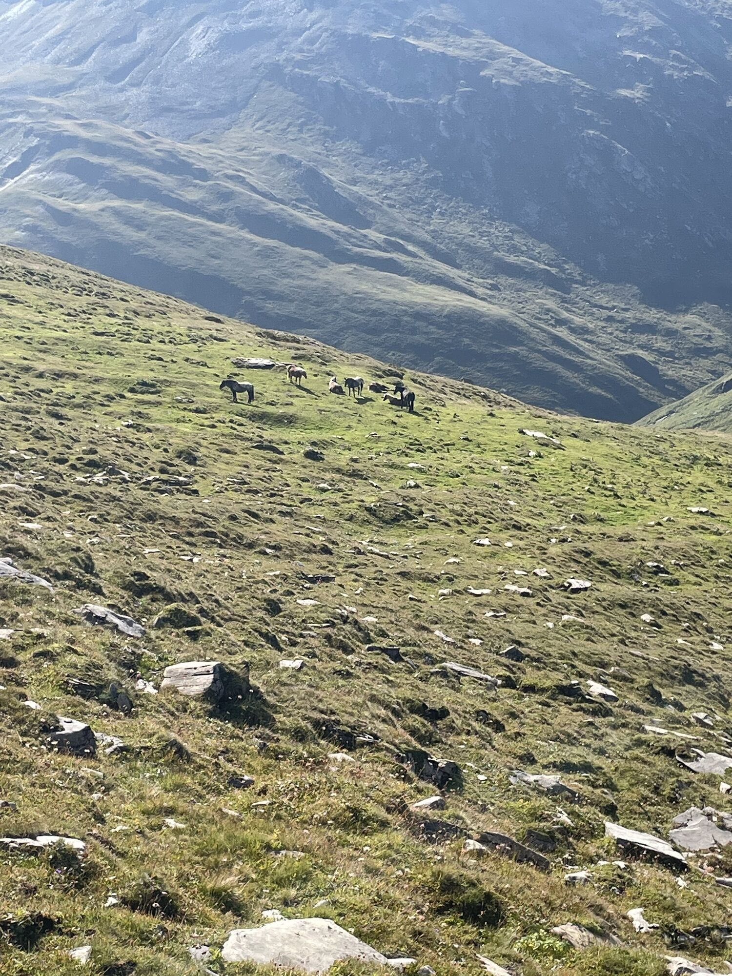
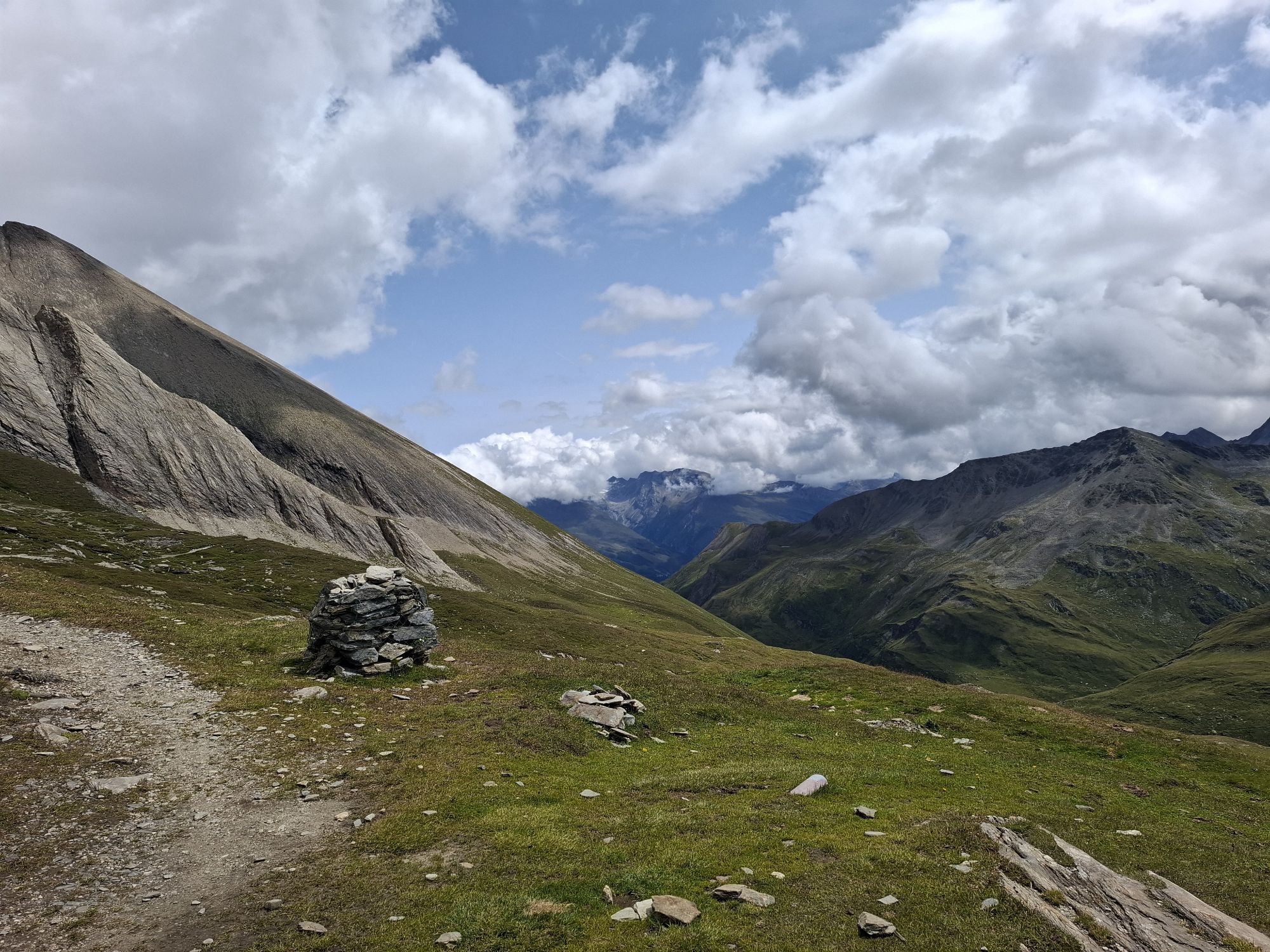
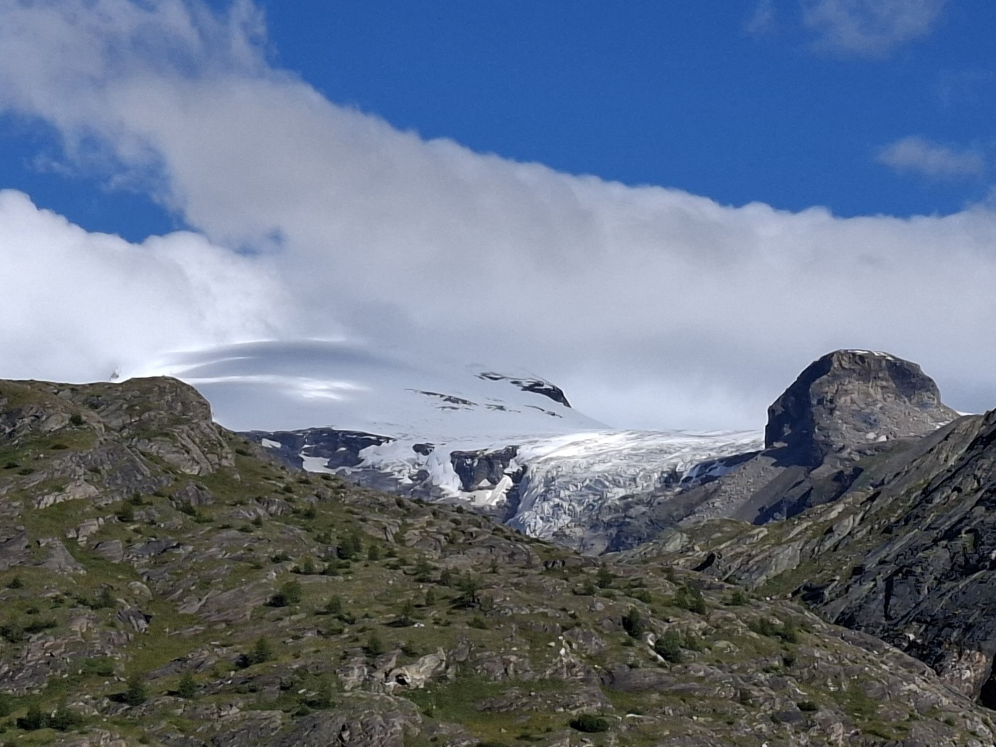
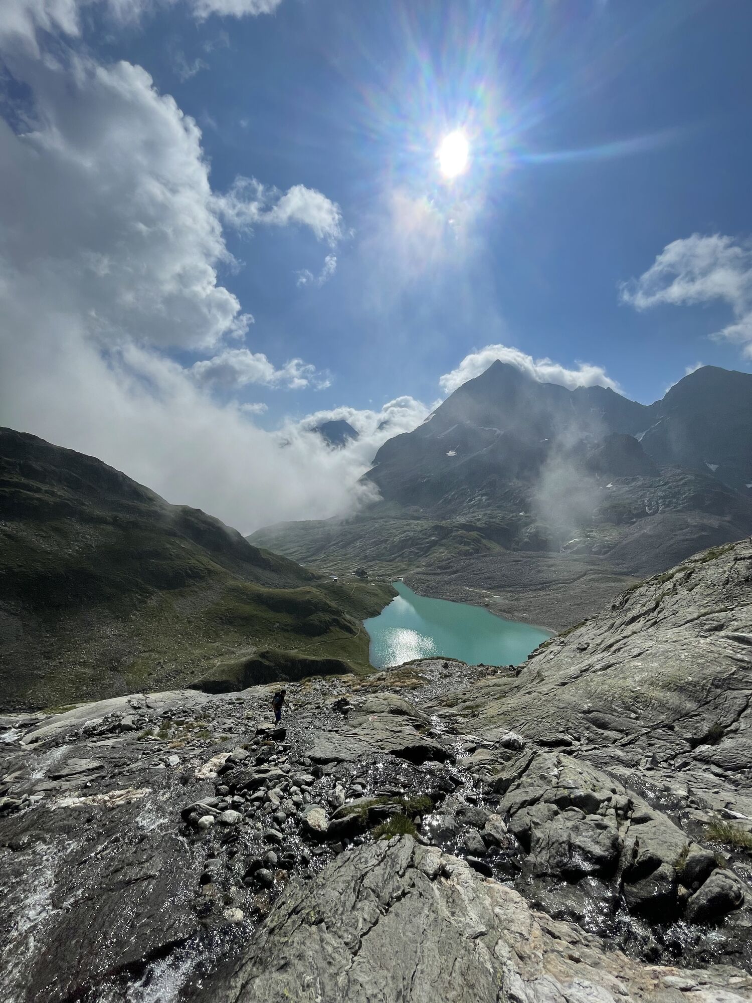
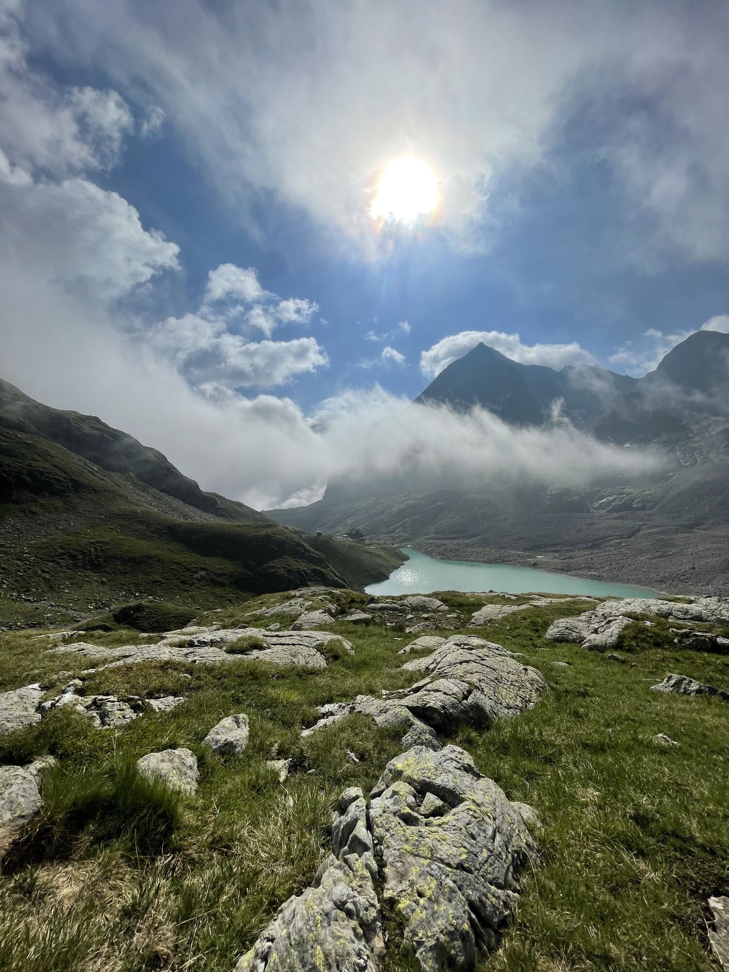
The first stage leads from the National Park car park Winklerner Alm within a few minutes to the Winklerner Hut and shortly thereafter to the Roaner Alm. Here begins a long traverse on path no. 918, initially only moderately ascending. A summit crossing of the Straßkopf with onward route to the Schwarzkofelsee can be chosen as a worthwhile alternative (additional effort approx. 2 hours)!
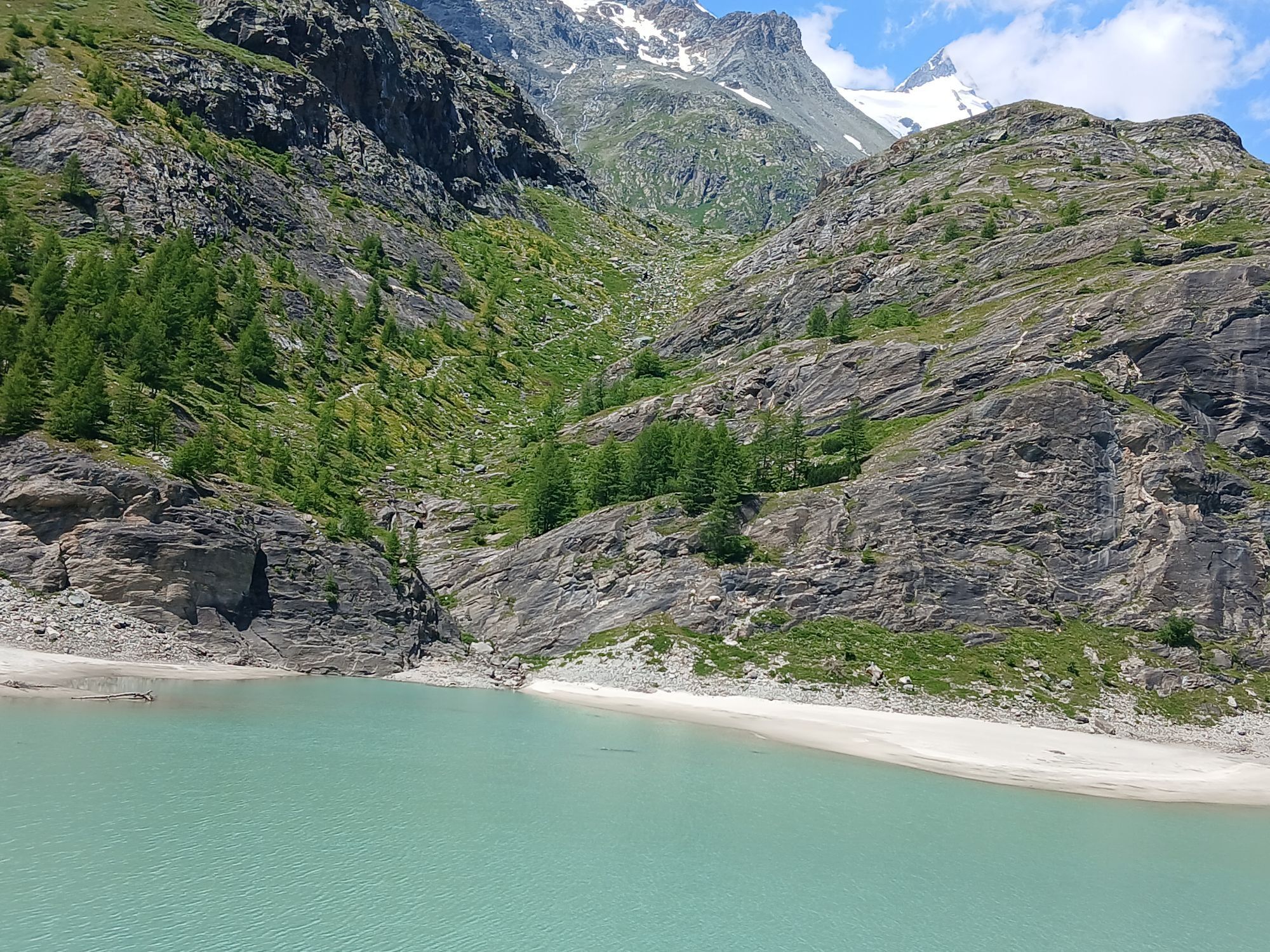
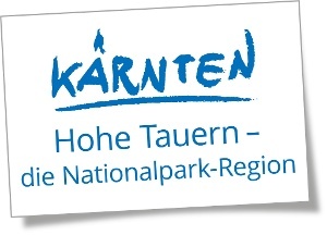
Below the "Himmelwand" the trail finally leads steeper upwards and crosses, somewhat exposed, into the Upper Seescharte. From here the day's destination, the Wangenitzsee Hut, is clearly visible. The descent from the saddle initially runs in switchbacks through boulder terrain, then briefly secured by rope above the lake and finally on a comfortable path between Wangenitzsee and Kreuzsee to the hut.
2nd stage:
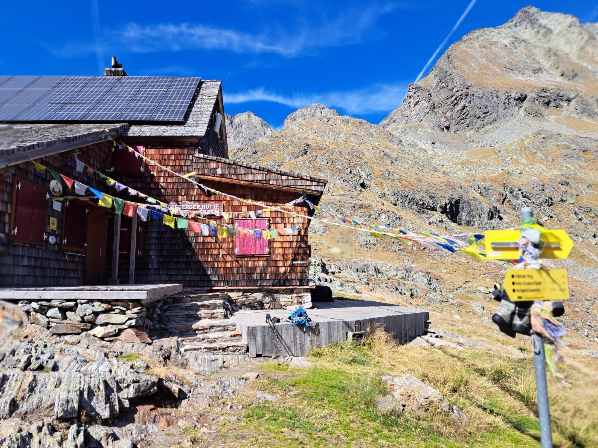
Wangenitzsee Hut - Adolf Nossberger Hut
Character: moderately difficult, with some exposed sections below the Weißwandspitzen and short rocky passages in the ascent to the Niedere Gradenscharte
Highest point: Kreuzseeschartl (2,810 m)
Walking time: 4.5 hours
Height meters: ascent 540 m, descent 560 m
Distance: 6.2 km
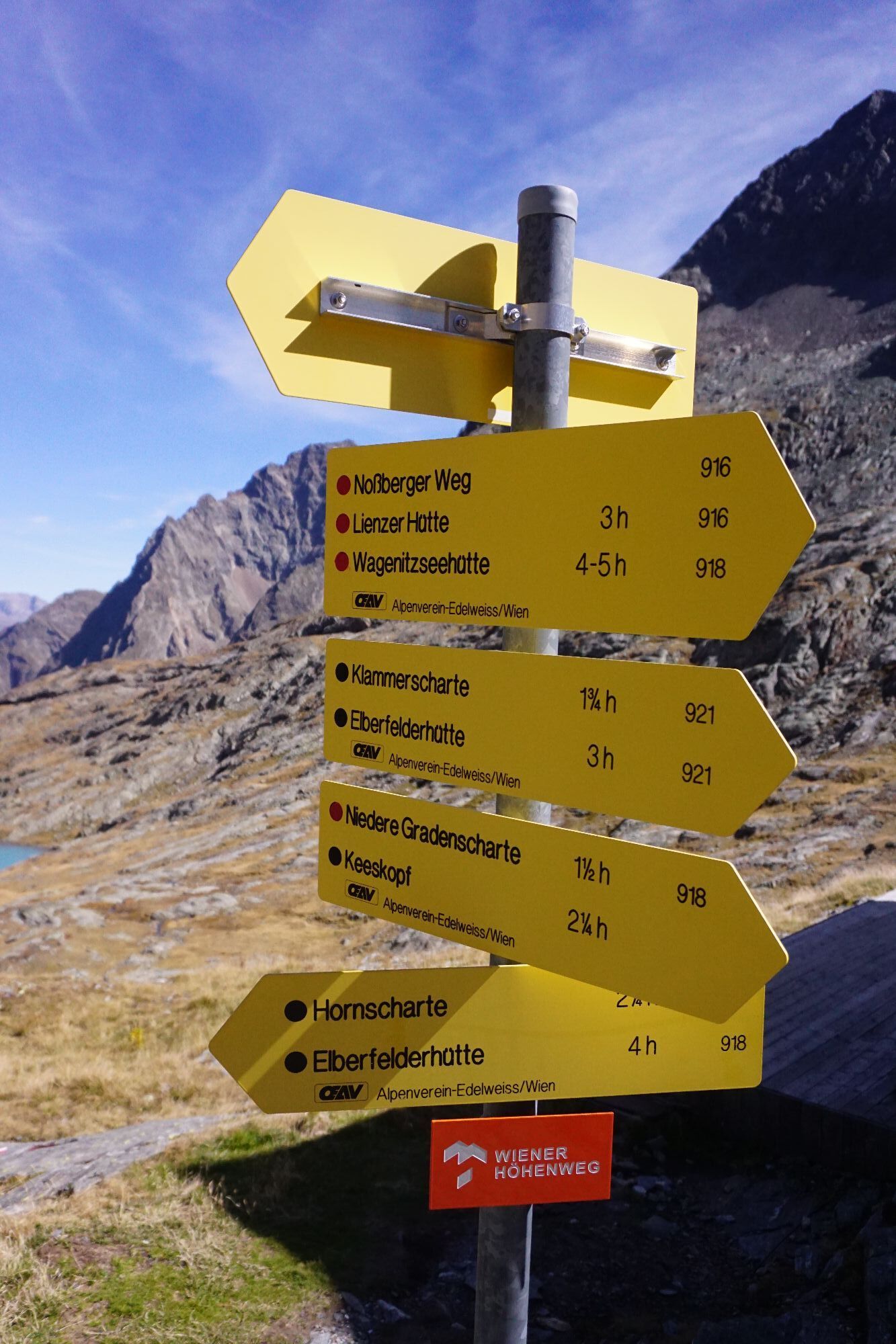
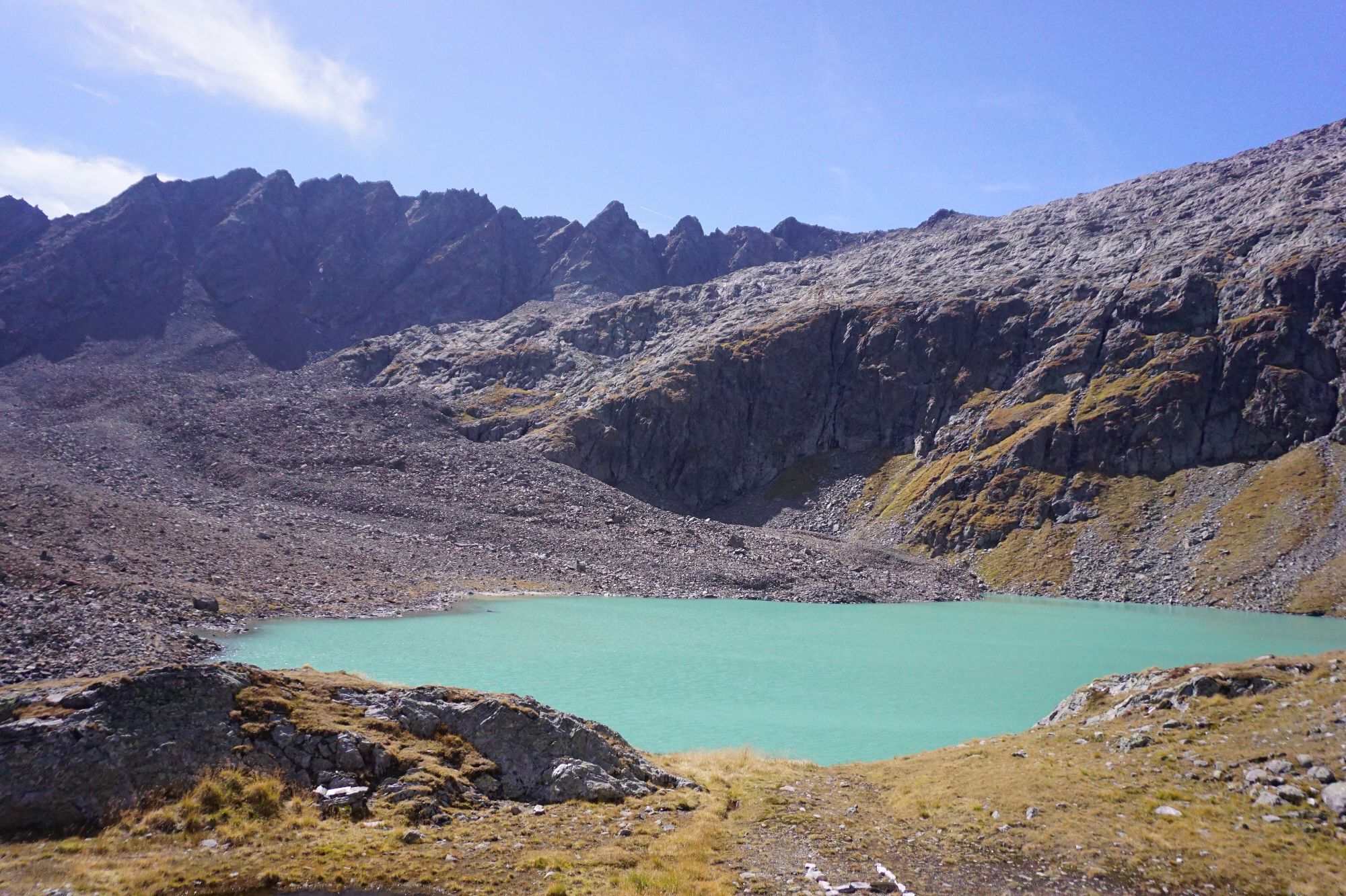
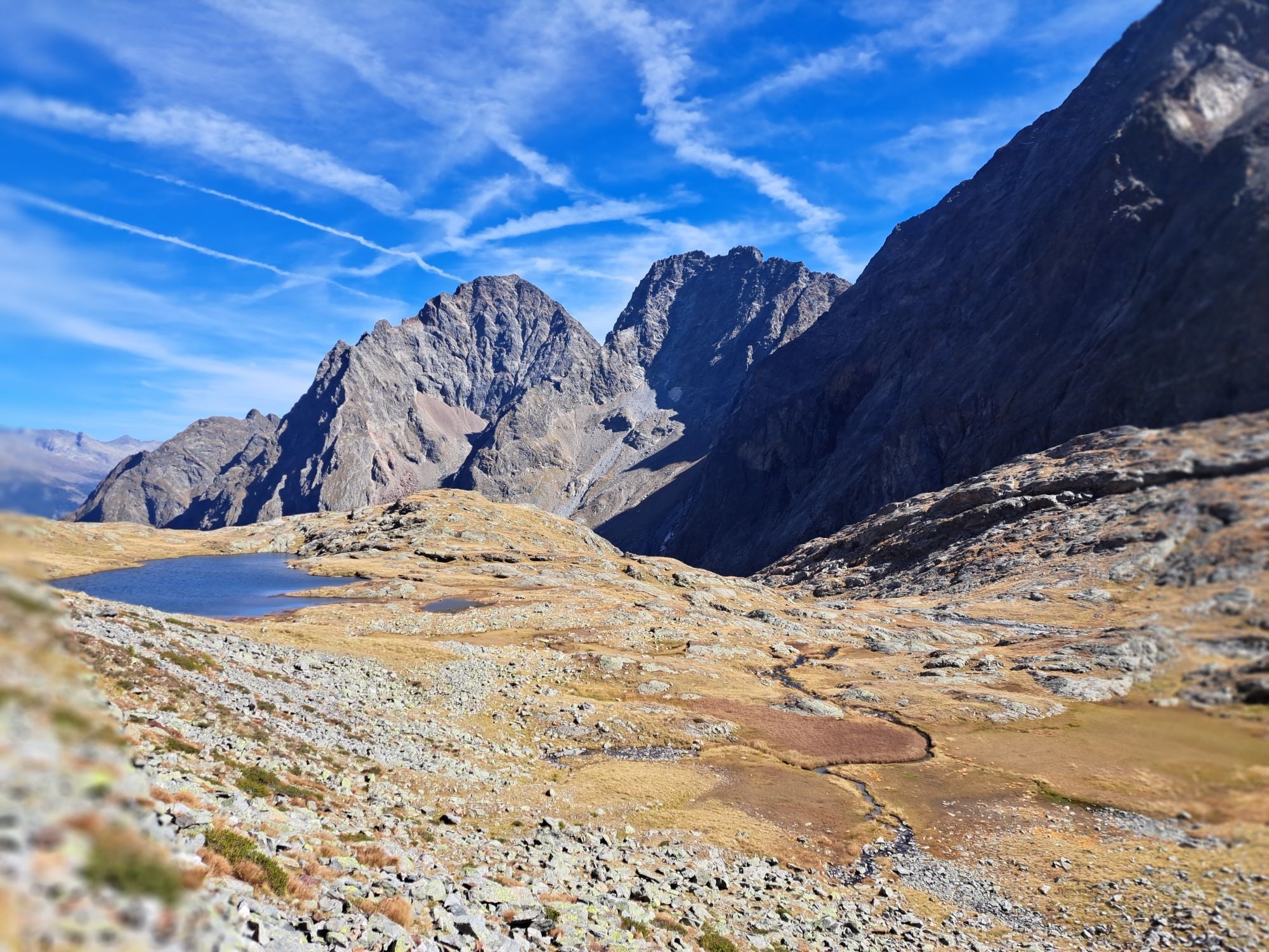
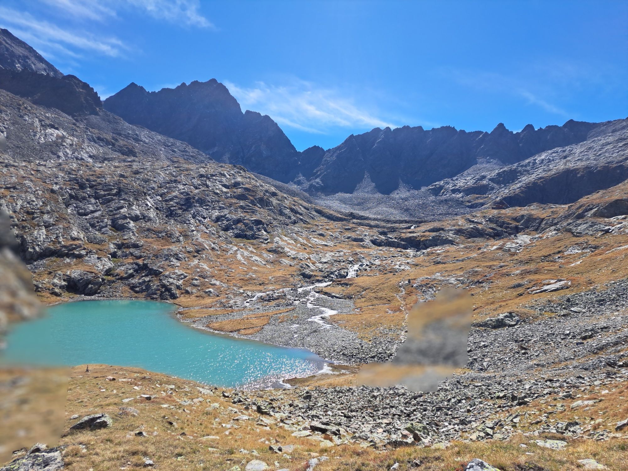
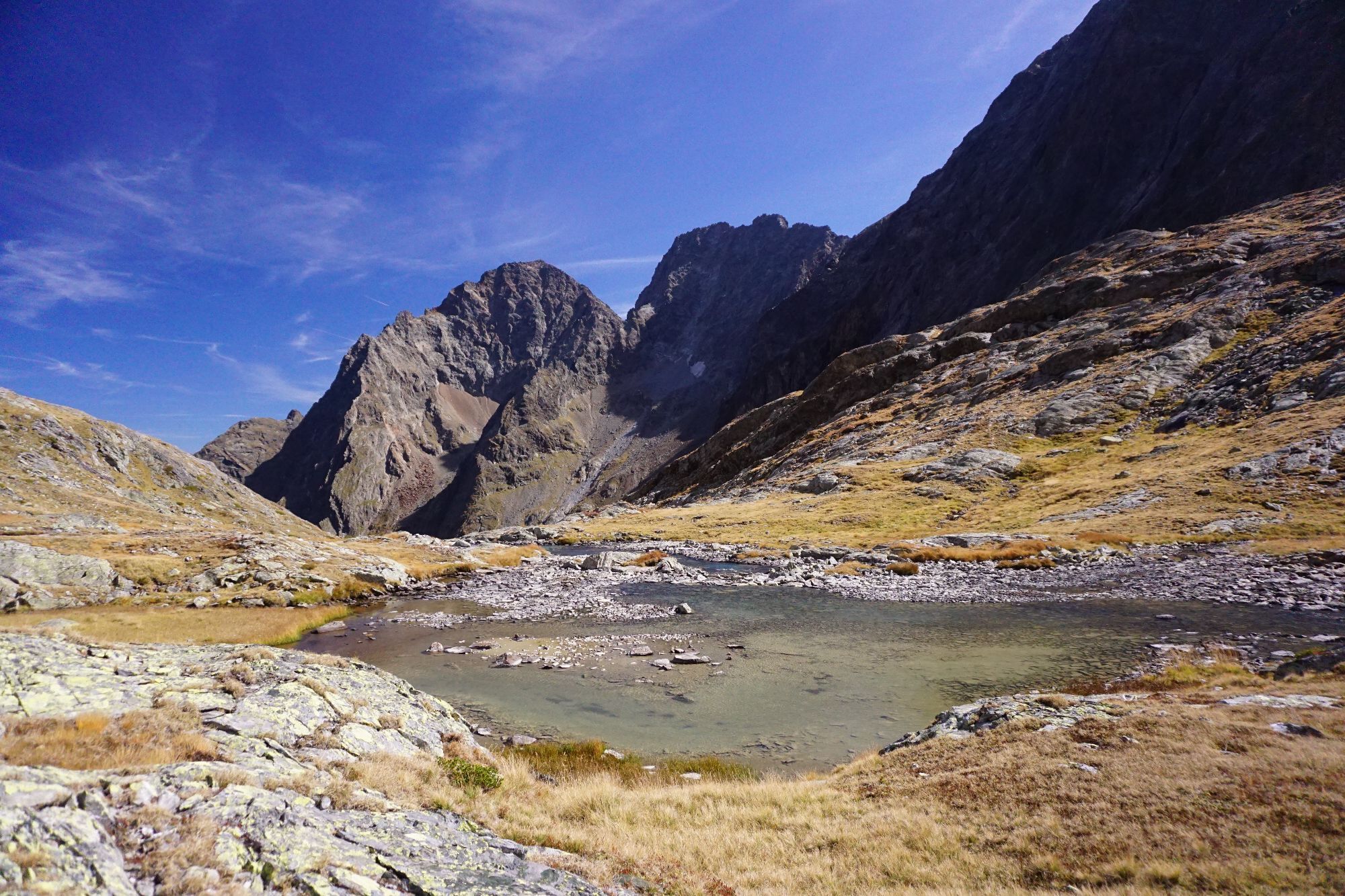
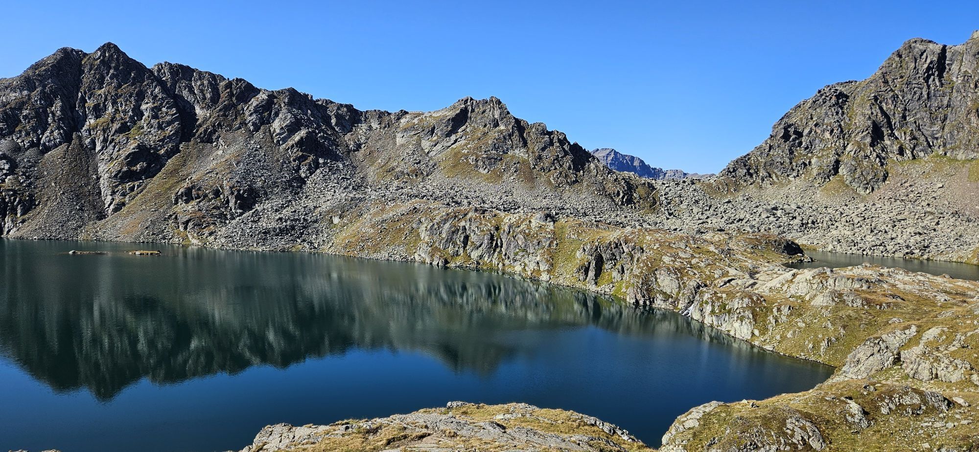
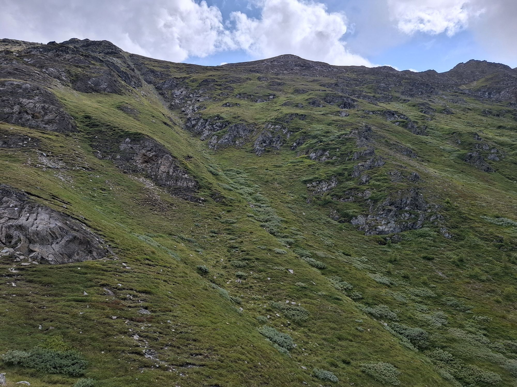
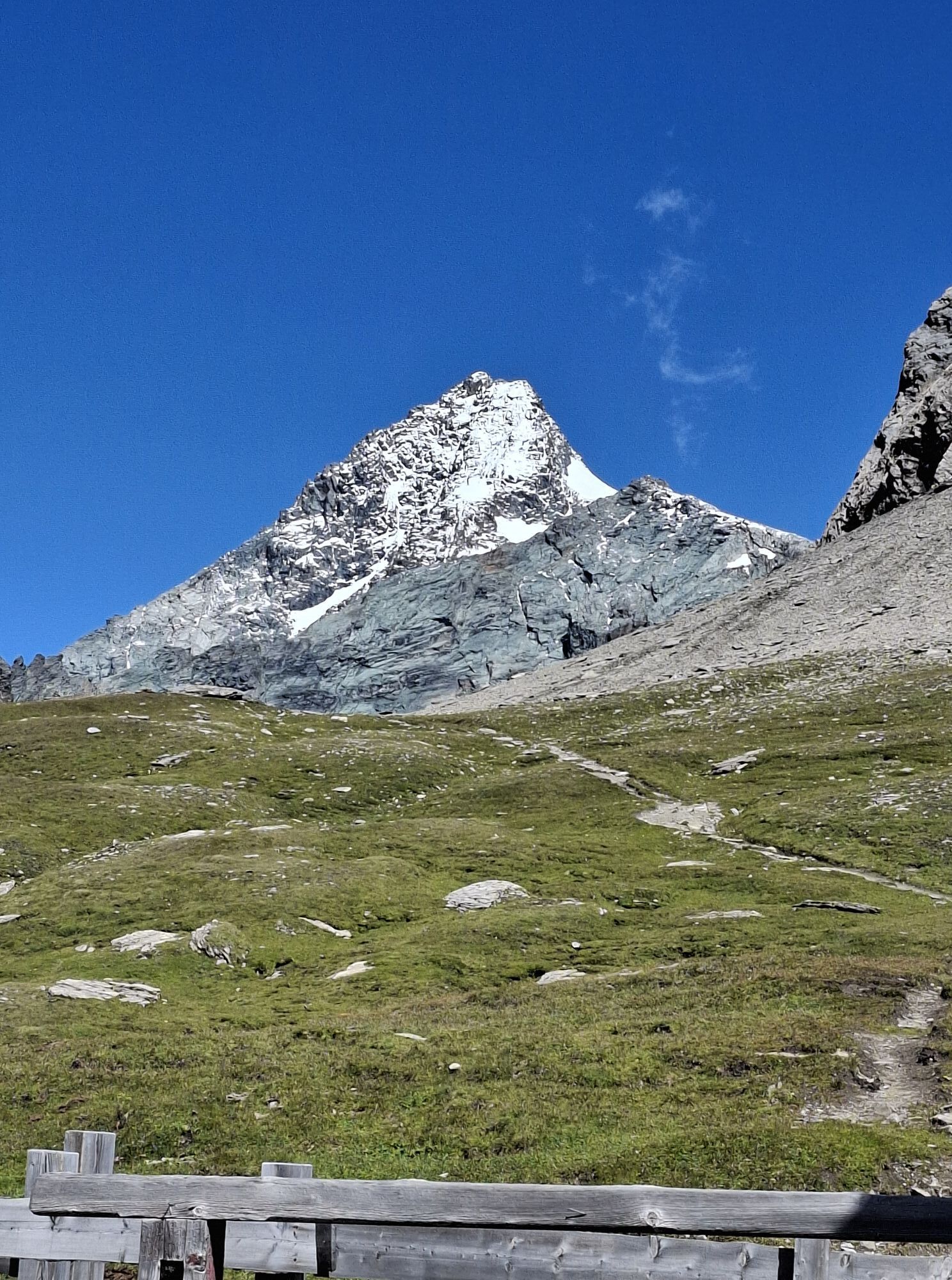
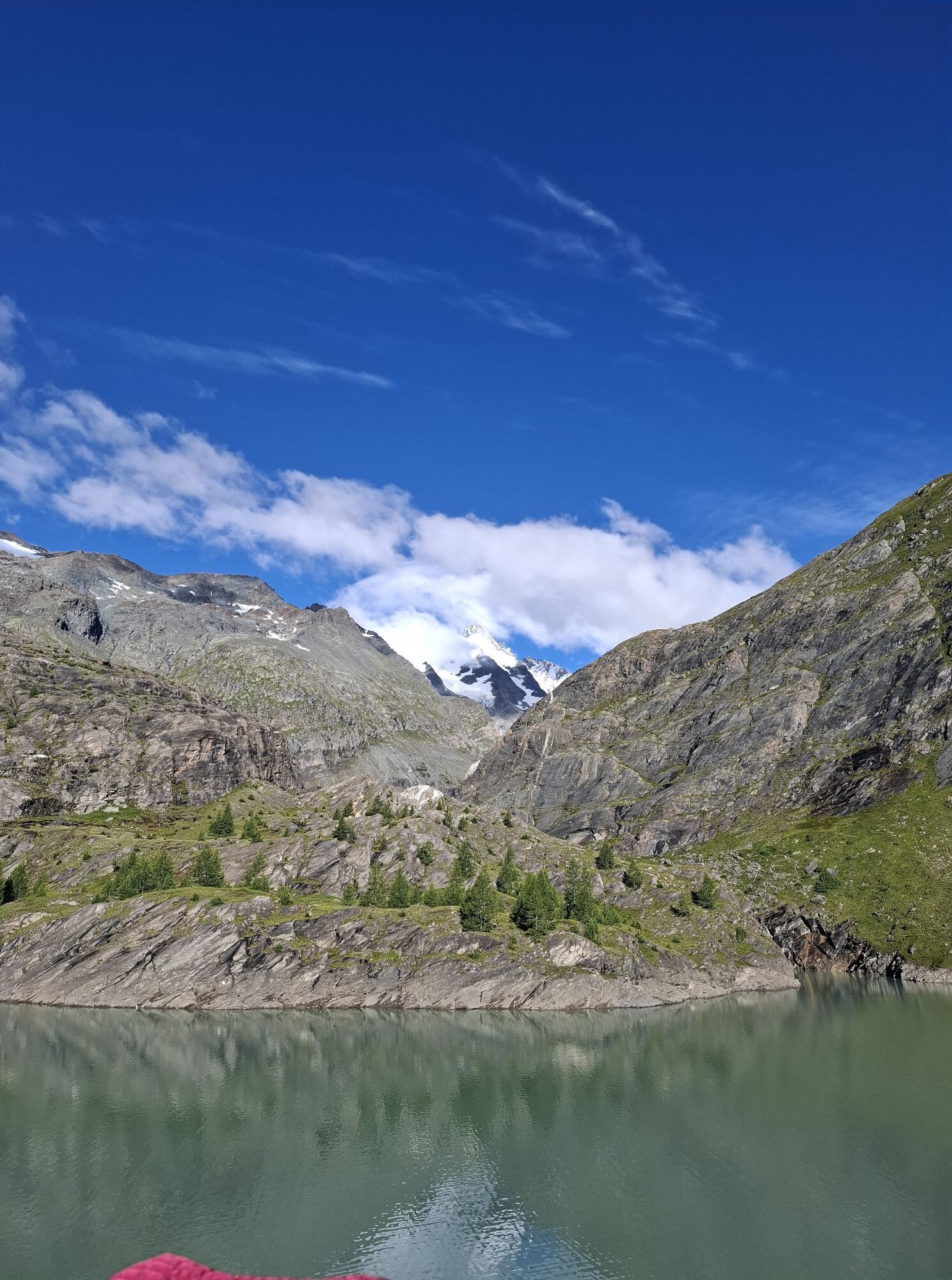
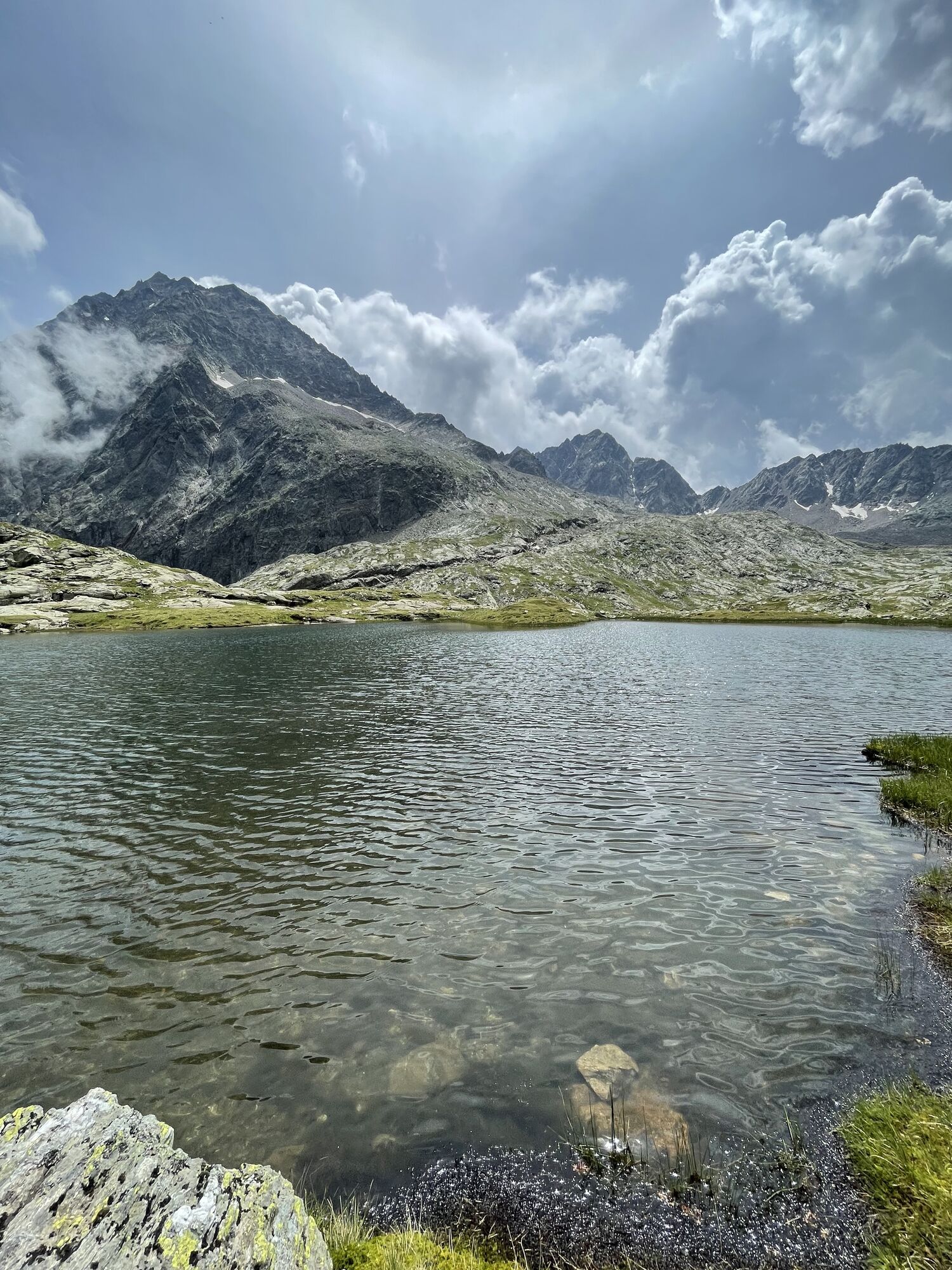
From the Wangenitzsee Hut initially gently ascending, finally somewhat steeper, to the Kreuzseeschartl. The onward trail leads over a rock ramp down into the Perschitzkar. Here it would be possible to reach the Adolf Nossberger Hut via the Hohe Gradenscharte. Since this alternative often features difficult conditions, we recommend continuing to the Niedere Gradenscharte, which offers an easier crossing into the Gradental - additionally, the Keeskopf can be ascended from here with little effort (approx. 1.5 hrs)!
The descent from the saddle to the Nossberger Hut over glacially polished rocks offers magnificent views into the valley end of the Gradental - for many, the most beautiful Tauern valley of all!
3rd stage:
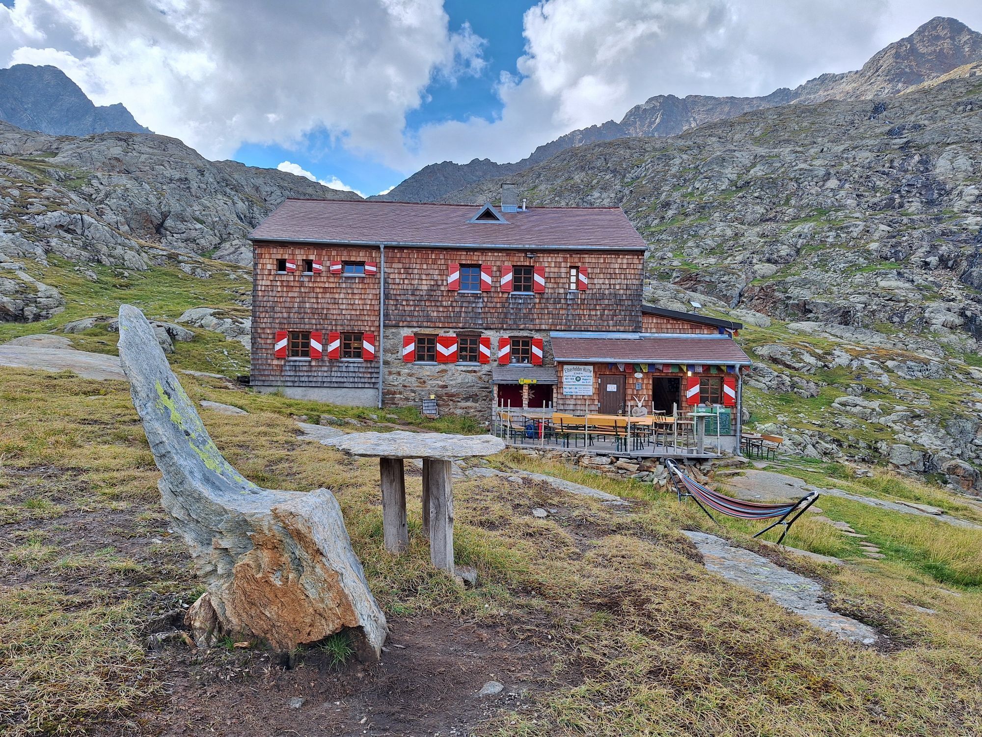
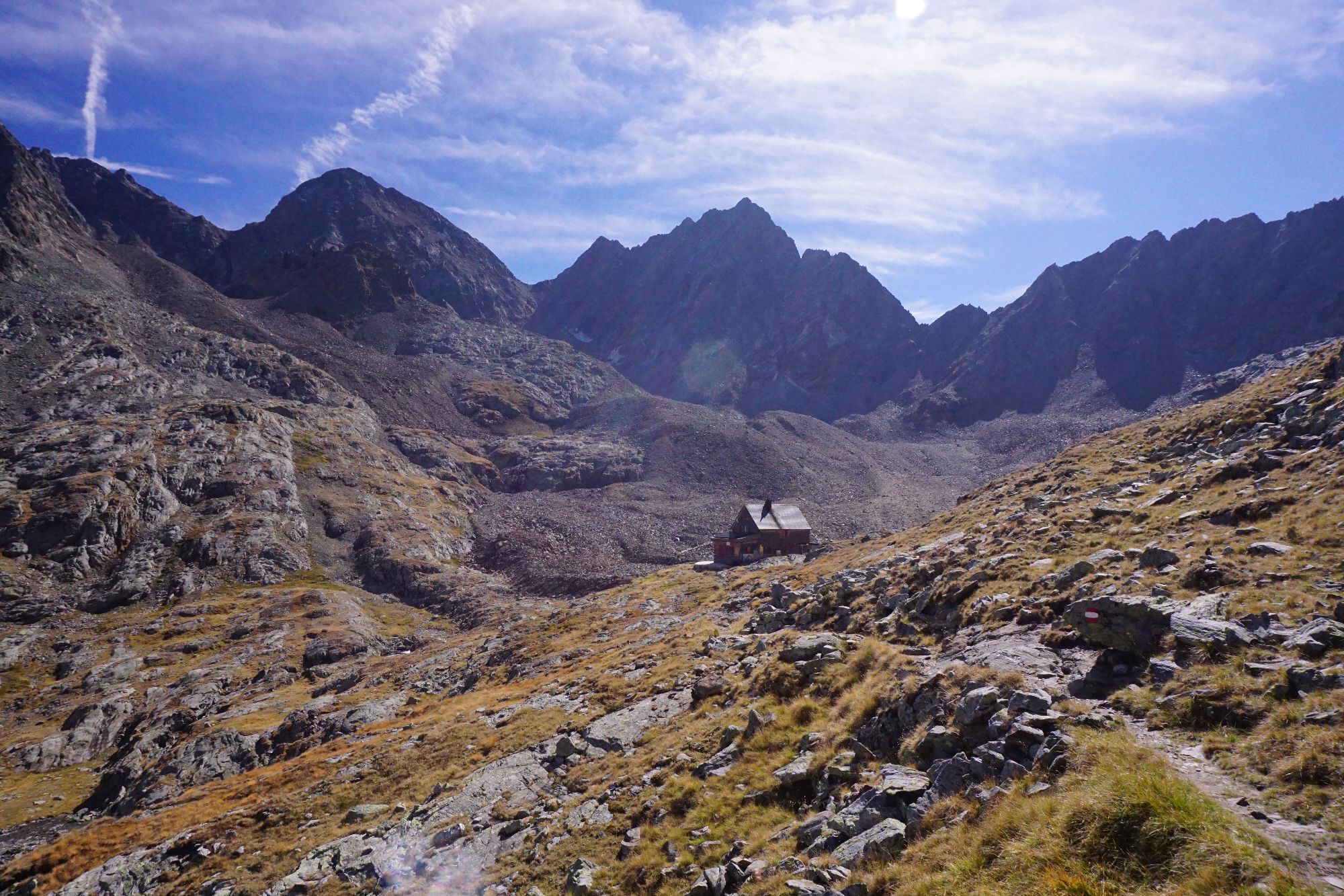
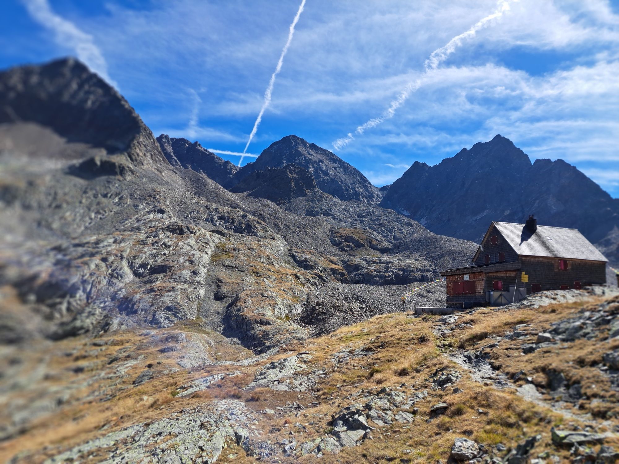
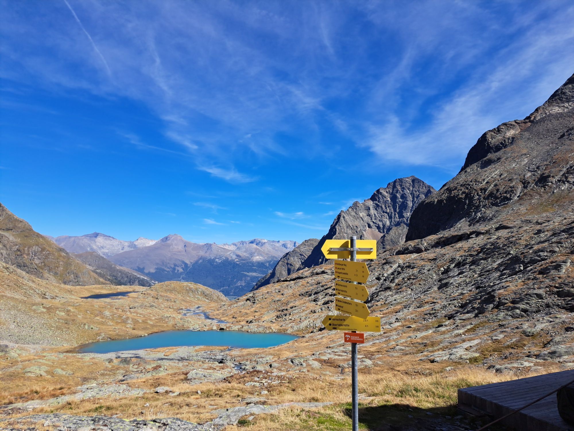
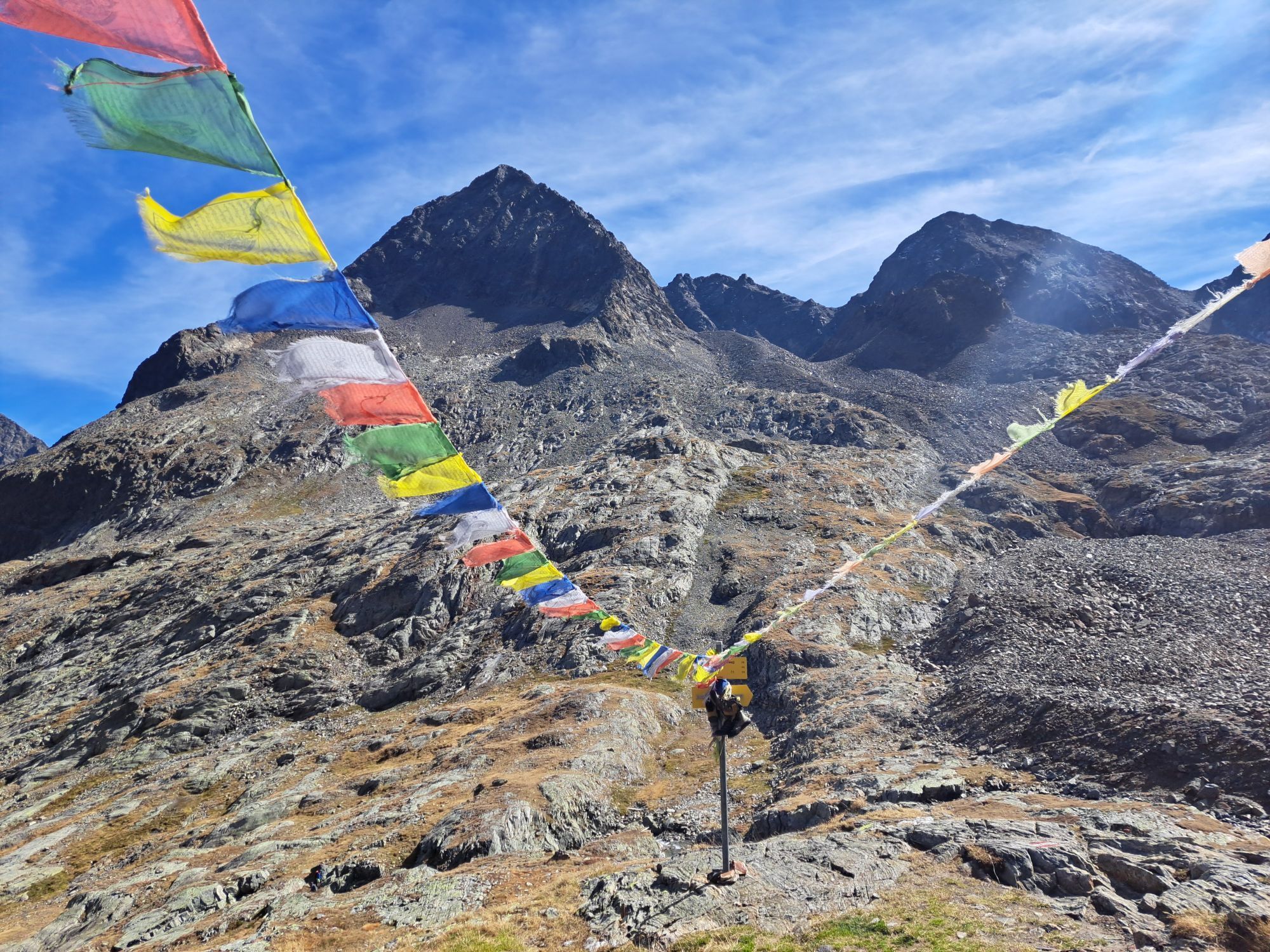
Adolf Nossberger Hut - Elberfelder Hut
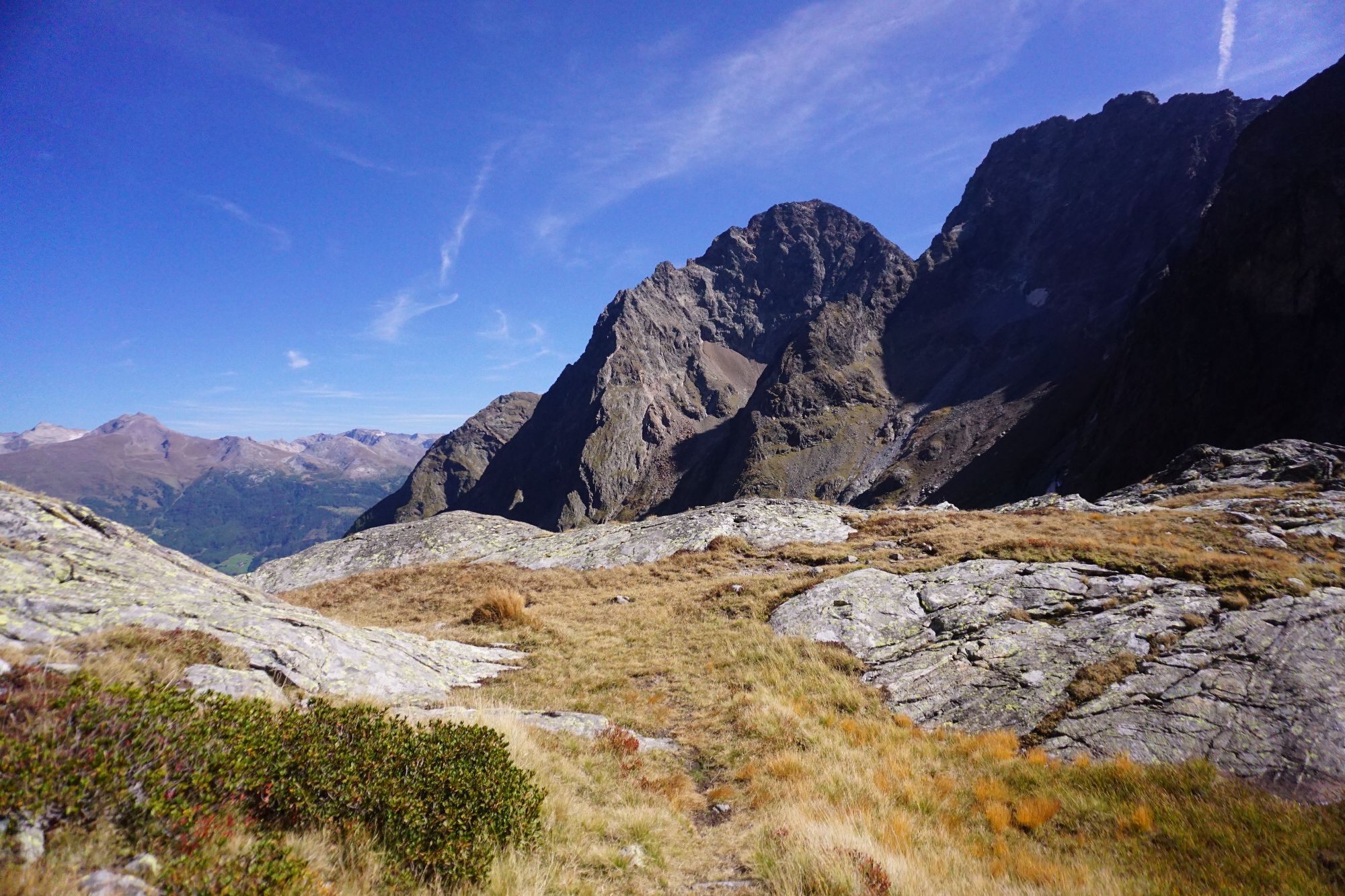
Here there are 2 variants to choose from. But no matter which route you decide on: the 3rd stage is the "key section" of the Wiener Höhenweg. You should definitely inquire with the hut keeper about current conditions and make the final decision about the route dependent on this, although as a rule of thumb: early in the year - rather via the Klammerscharte. Late in the year, when snow has melted - rather via the Hornscharte.
Variant 1 - Klammerscharte:
Character: partly difficult; the Klammerscharte is steep on the south side and glaciated on the north side. Glacier equipment necessary! As snow melts, the Hornscharte is preferable.
Highest point: Klammerscharte (2,930 m)
Walking time: 4.0 hours
Height meters: ascent 442 m, descent 584 m
Distance: 6.2 km
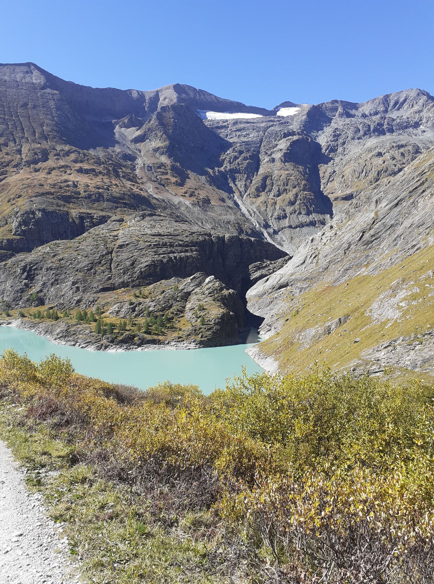
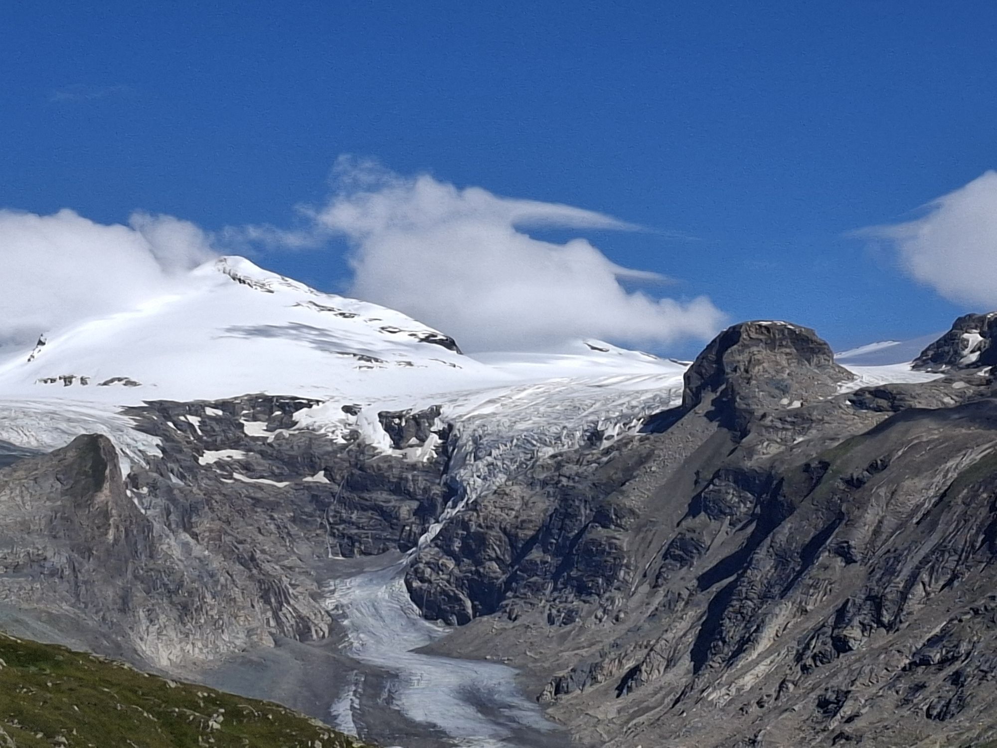
From the hut at the northern shore of the lake, briefly towards the Niedere Gradenscharte, then turn north and head towards the already visible Klammerscharte: initially still on a ridge, then over a steadily steeper field of snow and scree, lastly in switchbacks up into the saddle.
The descent on the other side at the Gößnitzkees is initially steep - glacier equipment (rope, ice axe, crampons) is recommended here! Later in the year large transverse crevasses also appear, then the variant via the Hornscharte should be preferred.
After crossing the rather small glacier, it becomes significantly easier descending to the Elberfelder Hut.
Variant 2 - Hornscharte:
Character: partly difficult; the Hornscharte is extremely steep, especially on the south side; the most difficult sections are secured by ropes. This crossing should only be chosen when these rope protections have melted out.
Highest point: Hornscharte (2,958 m)
Walking time: 5.0 hours
Height meters: ascent 638 m, descent 780 m
Distance: 5.5 km
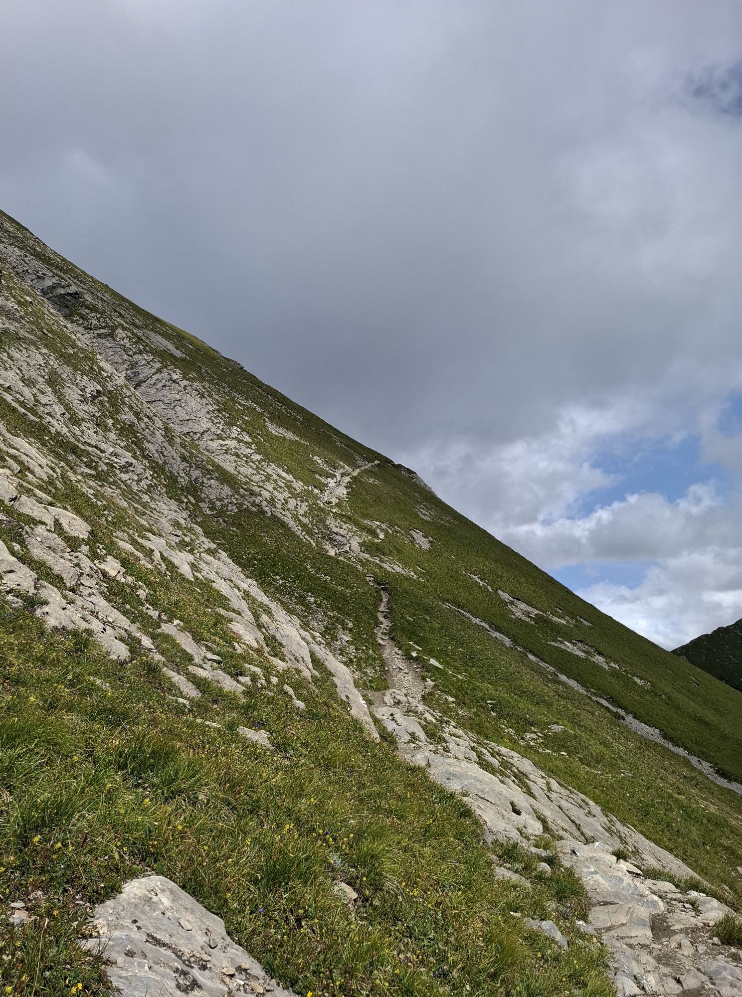
From the Nossberger Hut on the left valley side of the Gradental, somewhat descending towards the valley, until above the "Tierleiten" the path to the Hornscharte branches off from the hut ascent. The route leads ever steeper, finally very exposed and secured by steel cables, into the Hornscharte, the highest point on the Wiener Höhenweg. Attention - in early summer the steel cables are often buried deep under snow!
The descent on the other side is also steep, partly slippery, and requires full concentration! The Hornkees is bypassed on the right and finally the Elberfelder Hut is reached again on an easy path.
4th stage:
Elberfelder Hut - Glorer Hut
ATTENTION:
According to notices at the Glorer and Elberfelder Huts, trail 713 (Wiener Höhenweg) between Glorer Hut and Peischlachtörl shelter is closed due to permanent rock and slope slides. A permanent rerouting of the trail has been applied for. The “Donkey Trail” or the trail over the Kasteneck should be used. The walking time corresponds approximately to the closed trail. Please inform yourself in advance about this detour!!!
Character: moderately difficult but requires stamina, especially if the Böse Weibl is also climbed! Caution is necessary in snow cover in the area of the Kesselkees saddle and the western slopes of the Kasteneck!
Highest point: Kesselkees saddle (2,926 m)
Walking time: 5 hours
Height meters: ascent 732 m, descent 436 m
Distance: 9.0 km
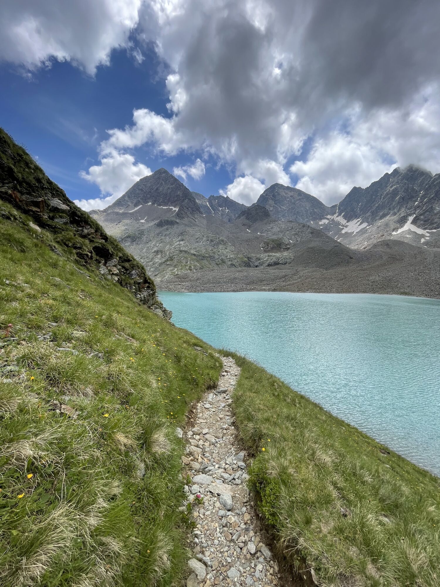
From the Elberfelder Hut initially gently ascending, finally somewhat steeper to the Tramer Lake and the mighty block glacier. From here in a wide arc, lastly secured by rope, up to the Kesselkees saddle. Slightly above the saddle is the Gernot Röhr bivouac box.
From here, with little extra effort (approx. 1–1.5 hours) and without significant alpine difficulty, the 3,121 m high Böse Weibele can be “taken along”. In this case it is best not to descend back to the Kesselkees saddle from the summit but northwards directly into the Peischlachtörl.
If you forgo the summit, descend from the saddle past the Peischlachkesselkees down to the Peischlachtörl. The mountain rising north above the pass, the Kasteneck, can be crossed or more easily bypassed on the right (west). Immediately north of this mountain lies the Glorer Hut, the goal of this stage.
5th stage:
Glorer Hut via Salmhütte to Glocknerhaus
Character: moderately difficult, with descents from the Glatzschneid and Stockerscharte requiring particular caution.
Highest point: Glatzschneid (2,660 m)
Walking time: 4.5 hours
Height meters: ascent 239 m, descent 749 m
Distance: 10.2 km
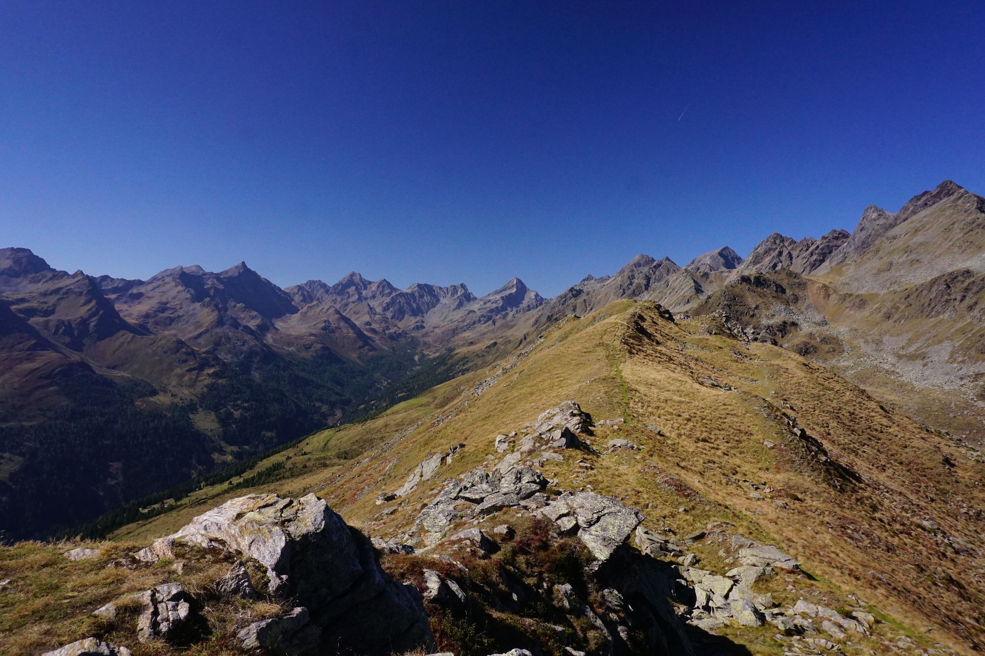
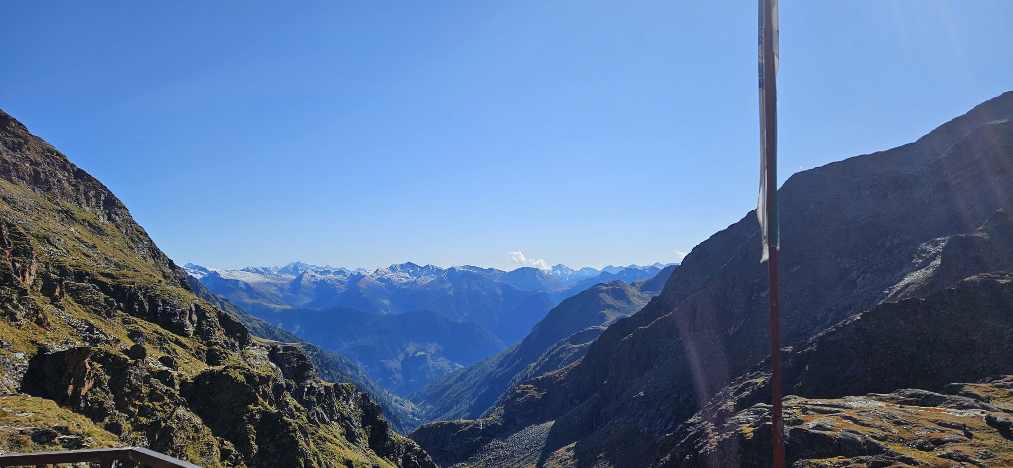
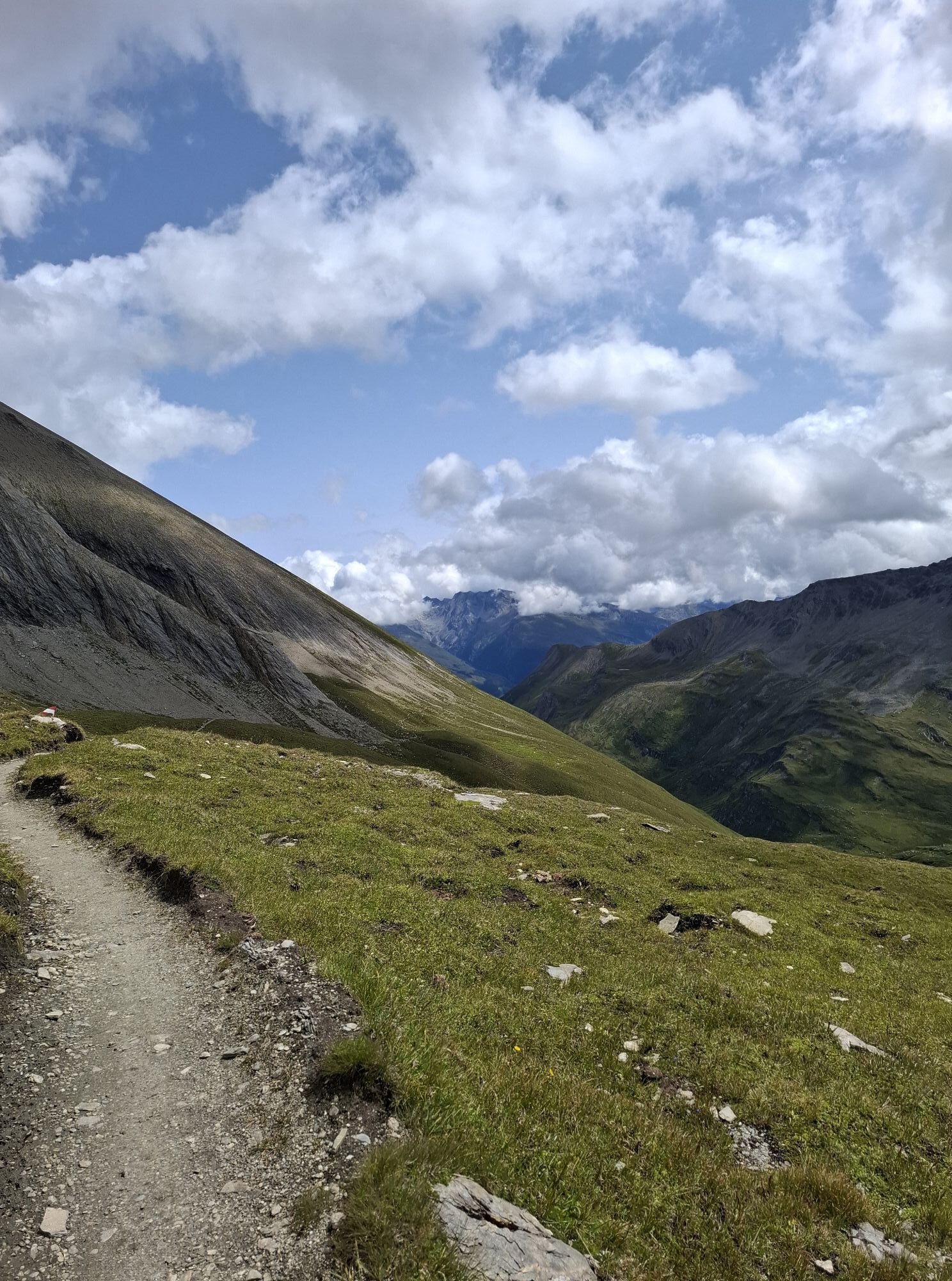
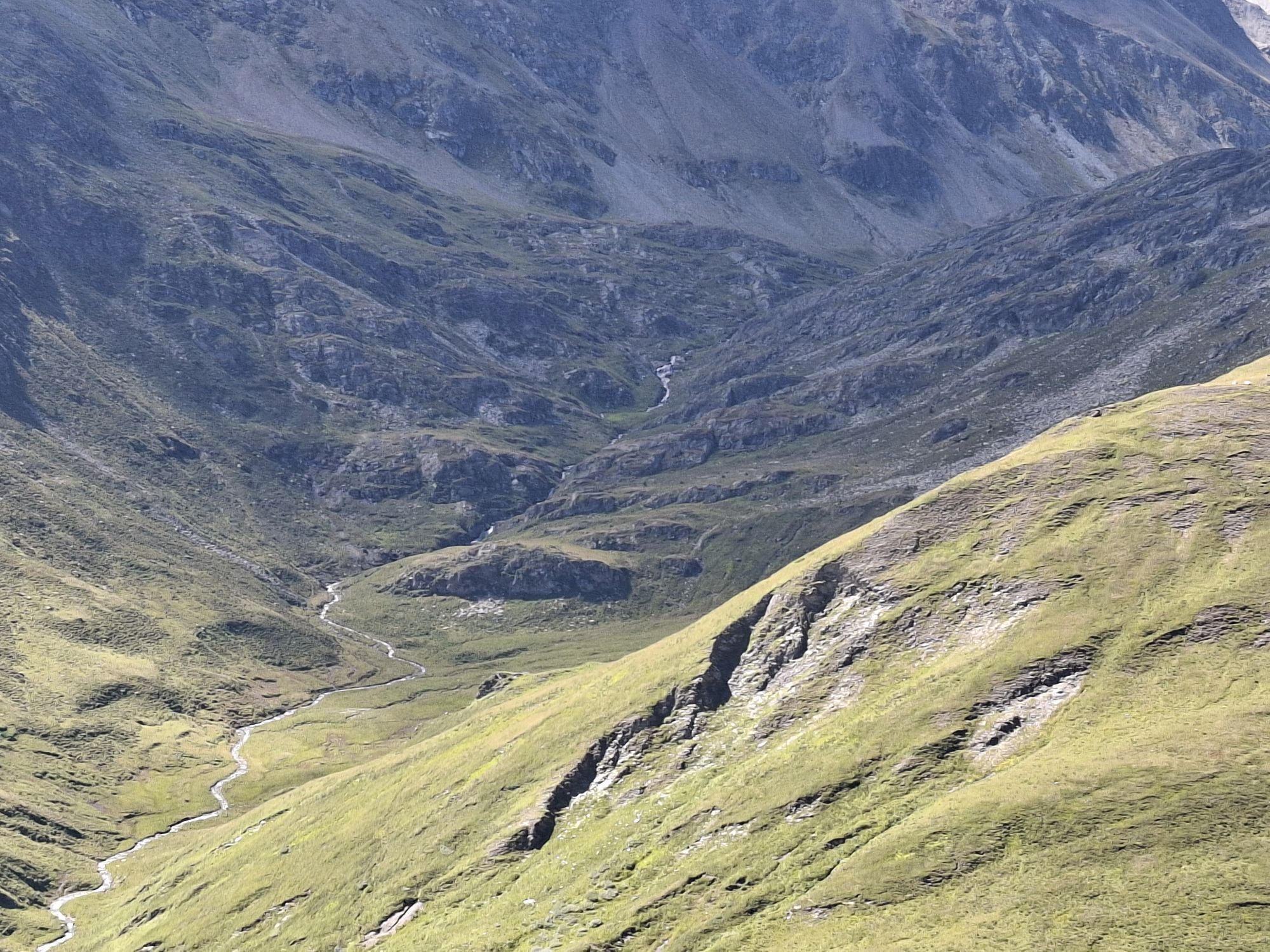
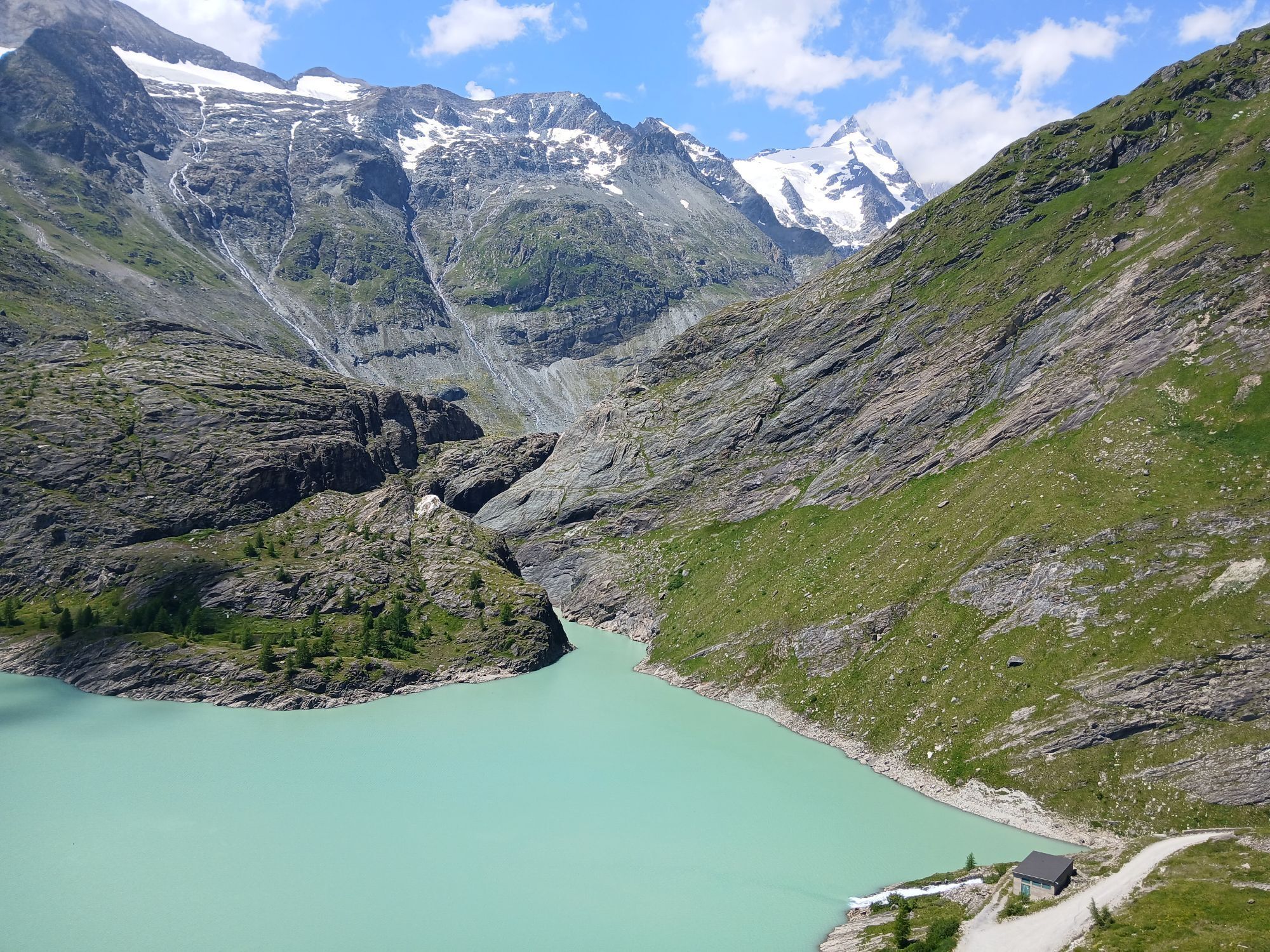
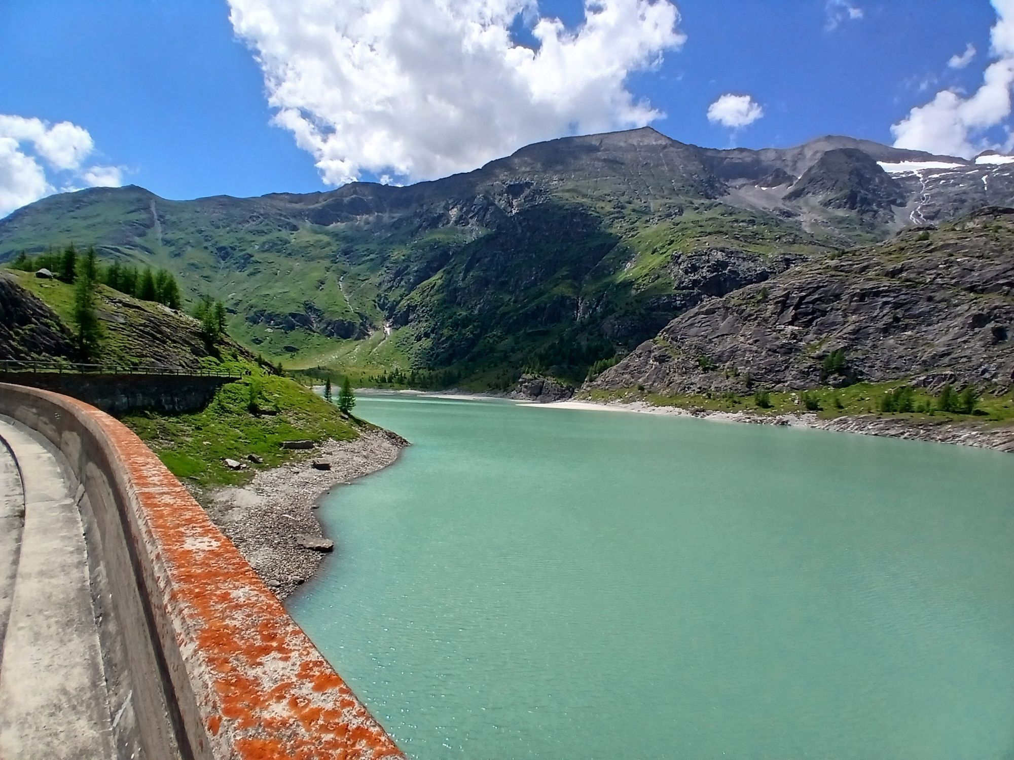
The last stage of the Wiener Höhenweg no longer lies in the Schober group but in the Glockner group. From the Glorer Hut over the so-called Glatzschneid into the innermost Leitertal and to the Salmhütte (1 – 1.5 hrs)
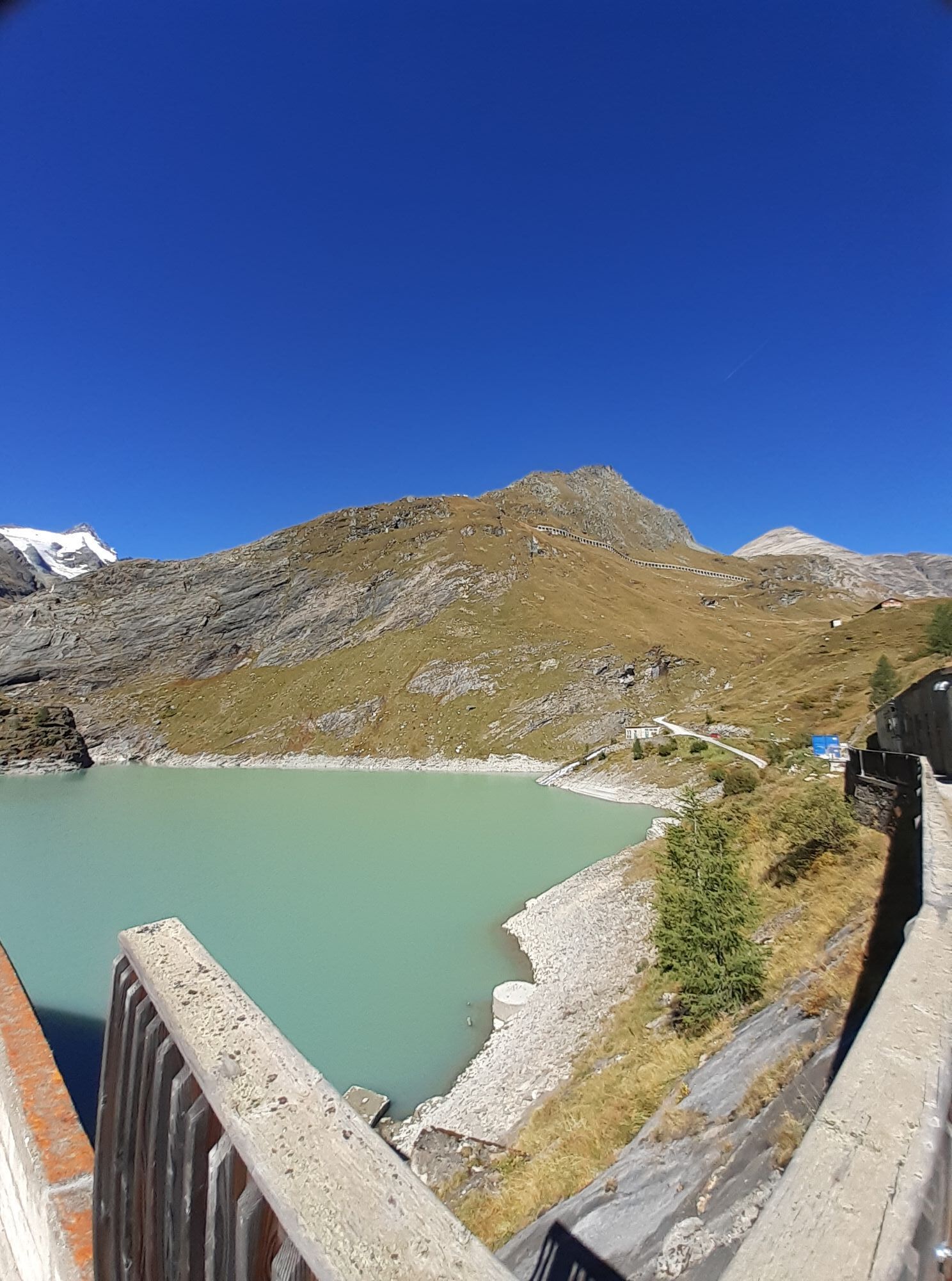
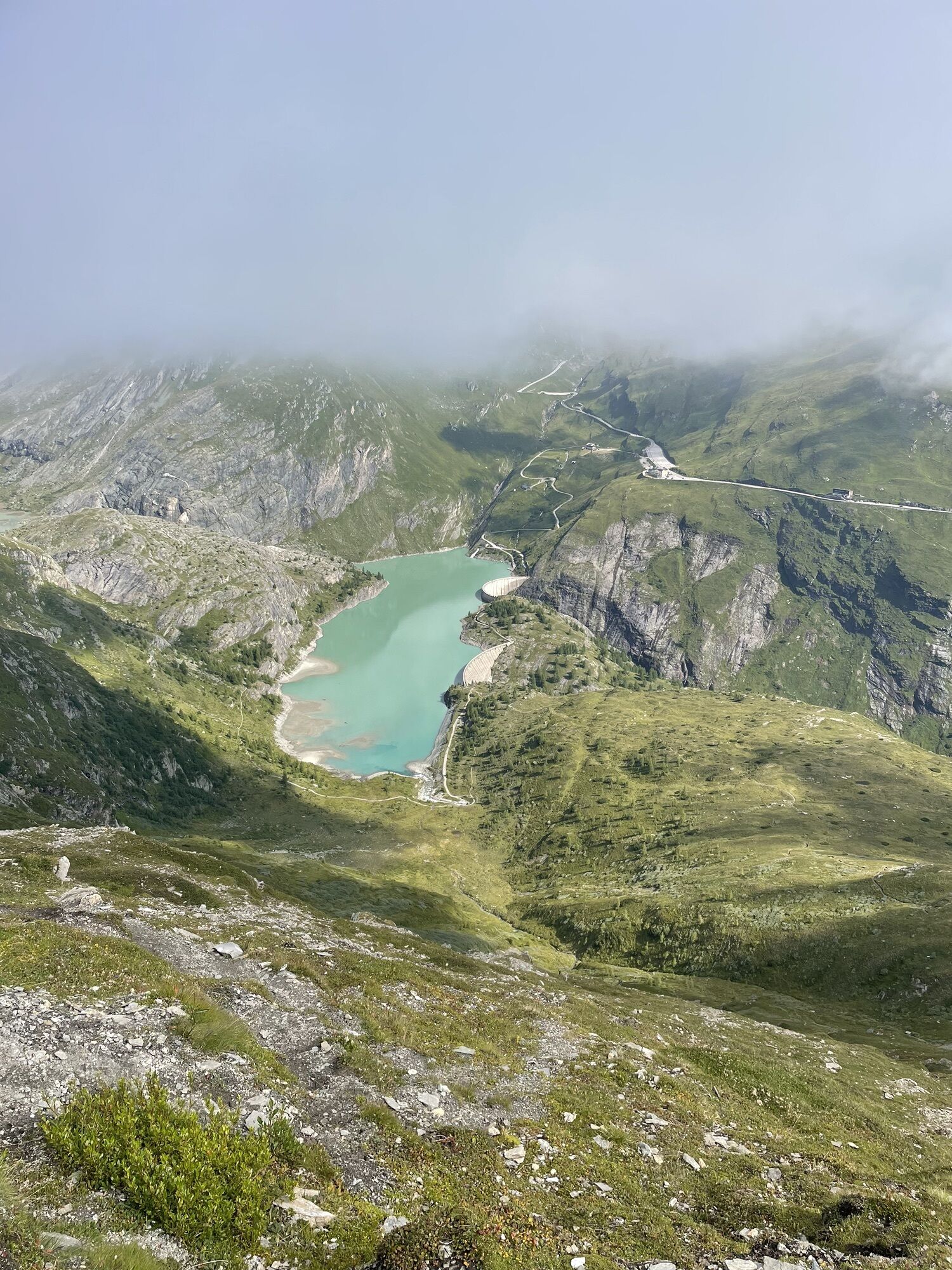
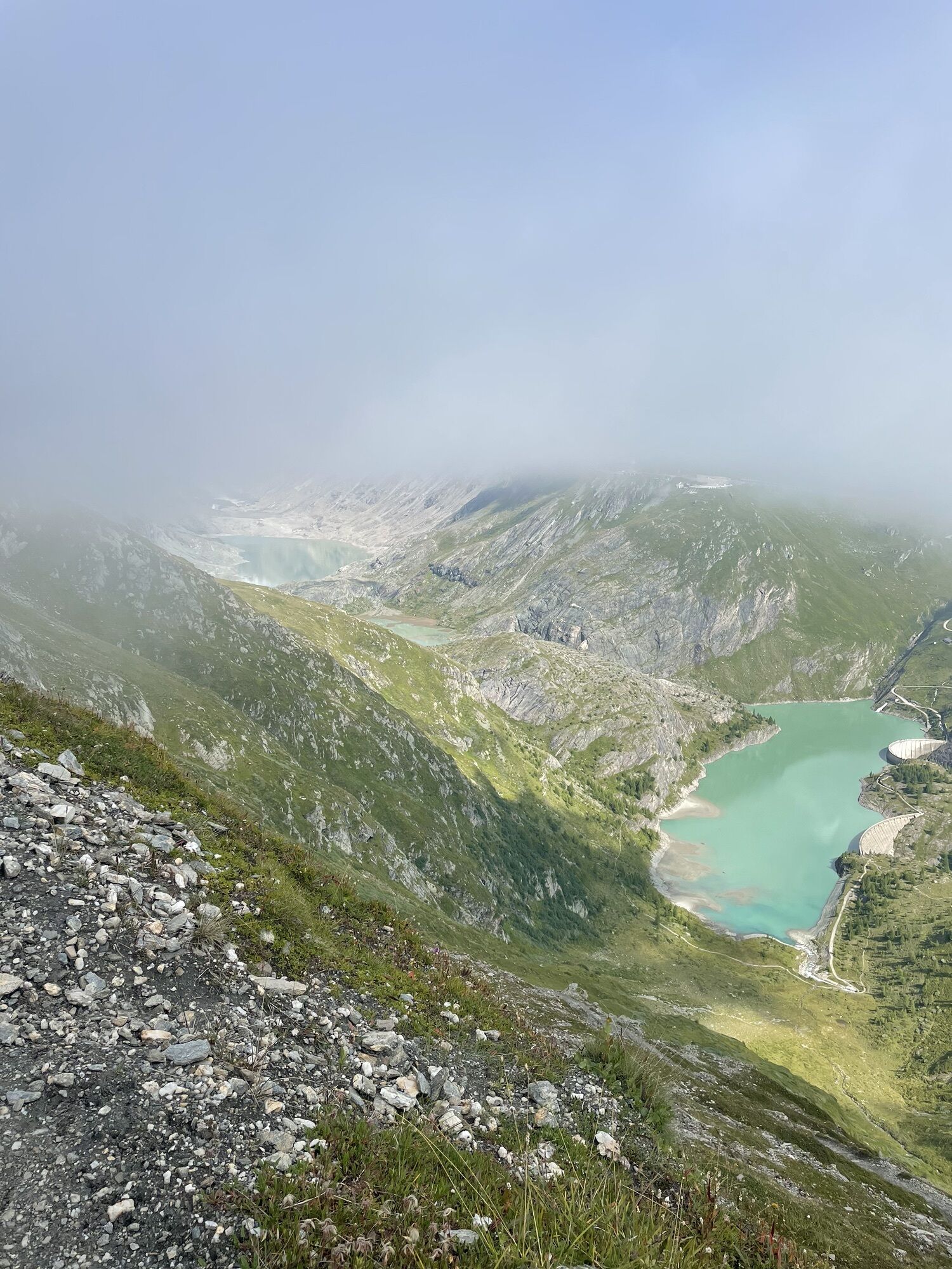
From here in a long hillside traverse, mostly slightly downhill, lastly briefly steeper uphill to the Stockerscharte, which offers a view to the Pasterze, the largest glacier of the Eastern Alps.
On the north side initially steep in switchbacks down, then over the two dam walls of the Margeritzen reservoir and finally again about 30 minutes uphill to the Glocknerhaus on the Großglockner High Alpine Road.
Trekking gear, good hiking shoes, trekking backpack with snacks, drinks, gear for hut overnight stay
The suggested routes were put together by experienced mountain guides to the best of their knowledge and belief. The paths of the proposed routes are without exception marked and maintained by the Alpine Clubs. However, the condition of the paths can change at any time due to unforeseen natural events.
Please also note that experience and alpine assessment skills are required for traversing the routes. In the mountains, the weather and thus also the demands on the mountain hiker can change rapidly. The hiker undertakes the tours at their own risk.
ATTENTION:
According to notices at the Glorer and Elberfelder Huts, trail 713 (Wiener Höhenweg) between Glorer Hut and Peischlachtörl shelter is closed due to permanent rock and slope slides. A permanent rerouting of the trail has been applied for. The "Donkey Trail" or the trail over the Kasteneck should be used. The walking time corresponds approximately to the closed trail. Please inform yourself in advance about this detour!!!
From Winklern in the Möll Valley towards Iselsberg, shortly before the pass height turn right. Continue past the chapel at Penzelberg and finally, following the signs, over a gravel road to the Winklerner Alm car park.
National Park car park Winklerner Alm
Tour description with many details from houseberg.at
Book "The Wiener Höhenweg"
Kamery internetowe z trasy
Fallbichl
Großglockner - KFJ-Höhe
Lienz/Zettersfeld
Lucknerhütte
Winklern im Mölltal / Penzelberg
Freiwandeck
Kals am Großglockner
Fallbichl
Feldkopf
Glocknerwinkel
Kalser Glocknerstraße - Glocknerwinkel
Lienz Faschingalm
Adlersruhe
Lucknerhaus
Zettersfeld - Bergstation Steinermandl
Feldkopf
Kaiser Franz-Josef-Haus
Zettersfeld - Bergstation Faschingalm
Popularne wycieczki w okolicy
- 4,9
Wangennitzsee Hütte
średniWędrówka 3,80 km - 4,7
Geotrail Tauernfenster
światłoWędrówka 5,90 km - 4,9
Glockner
średniWycieczka wysokogórska 19 km - 4,7
Glödis 3206m: PP Seichenbrunn, Lienzer Hütte, Glödis KS A/B
ciężkiWycieczka wysokogórska 16,1 km - 5,0
Figerhorn, 2743m, Lucknerhaus
średniWędrówka 6,69 km - 5,0
Rotenkogel
ciężkiWędrówka 4,22 km - 4,1
Glacier Route to the Pasterze with Gamsgrubenweg (up to Tunnel 6)
średniWędrówka 8,05 km - 4,3
Stüdlhütte -Großglockner
Wędrówka 4,68 km - 4,9
Kaiser-Franz-Josefs-Höhe to Oberwalderhütte
ciężkiWędrówka 5,52 km - 4,2
Lucknerhaus zur Glorerhütte über Lucknerhütte zurück
średniWędrówka 11,2 km
Wędrówki i tropienie


Nie przegap ofert i inspiracji na następne wakacje
Twój adres e-mail została dodana do listy mailingowej.