


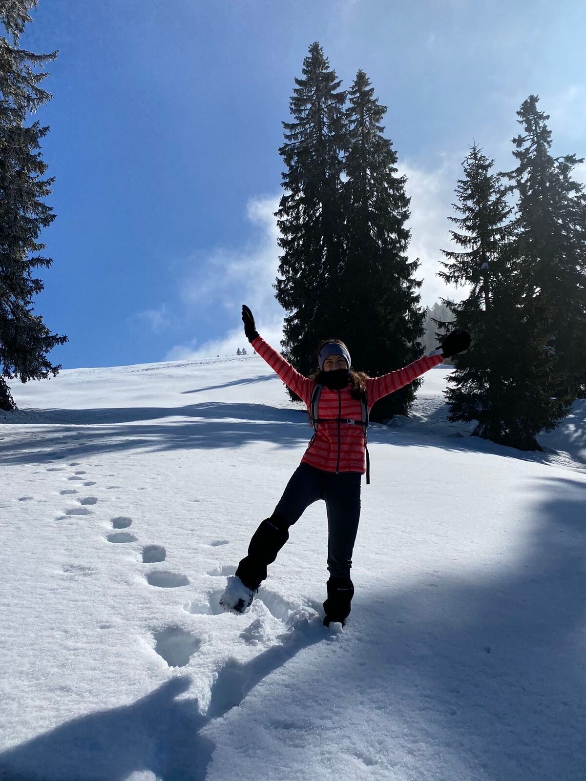
Carnic High Trail – Stage 8: Dolinza Alm – Thörl-Maglern


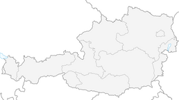
The Carnic High Trail is about 150 km long from Sillian to Arnoldstein and can be divided into 8-11 daily stages, for example, an almost anytime descent into the valley is possible. Accommodation possibilities...
The Carnic High Trail is about 150 km long from Sillian to Arnoldstein and can be divided into 8-11 daily stages, for example, an almost anytime descent into the valley is possible. Accommodation possibilities in managed huts are sufficiently available.
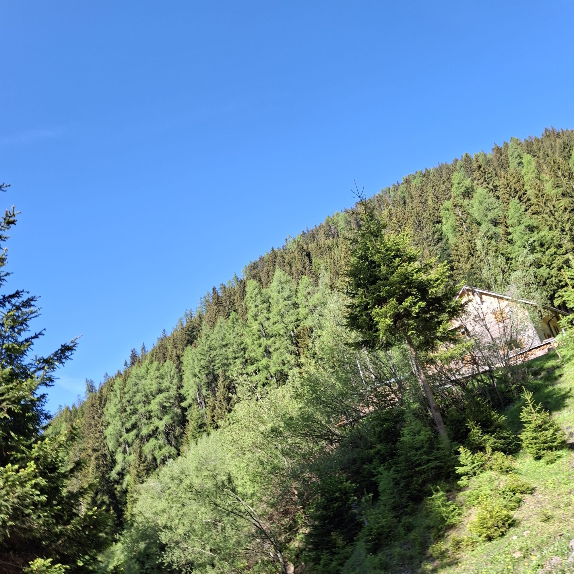
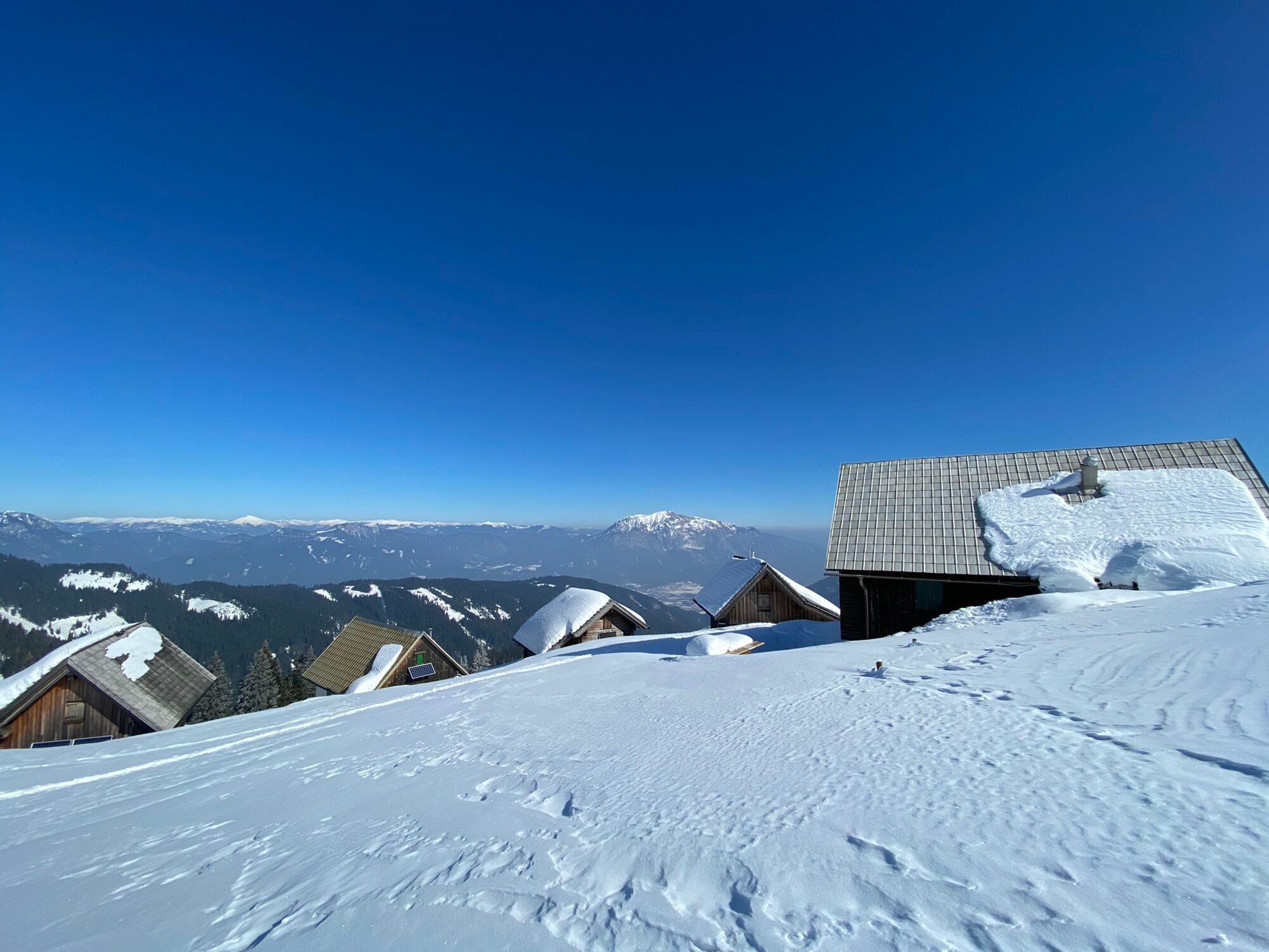
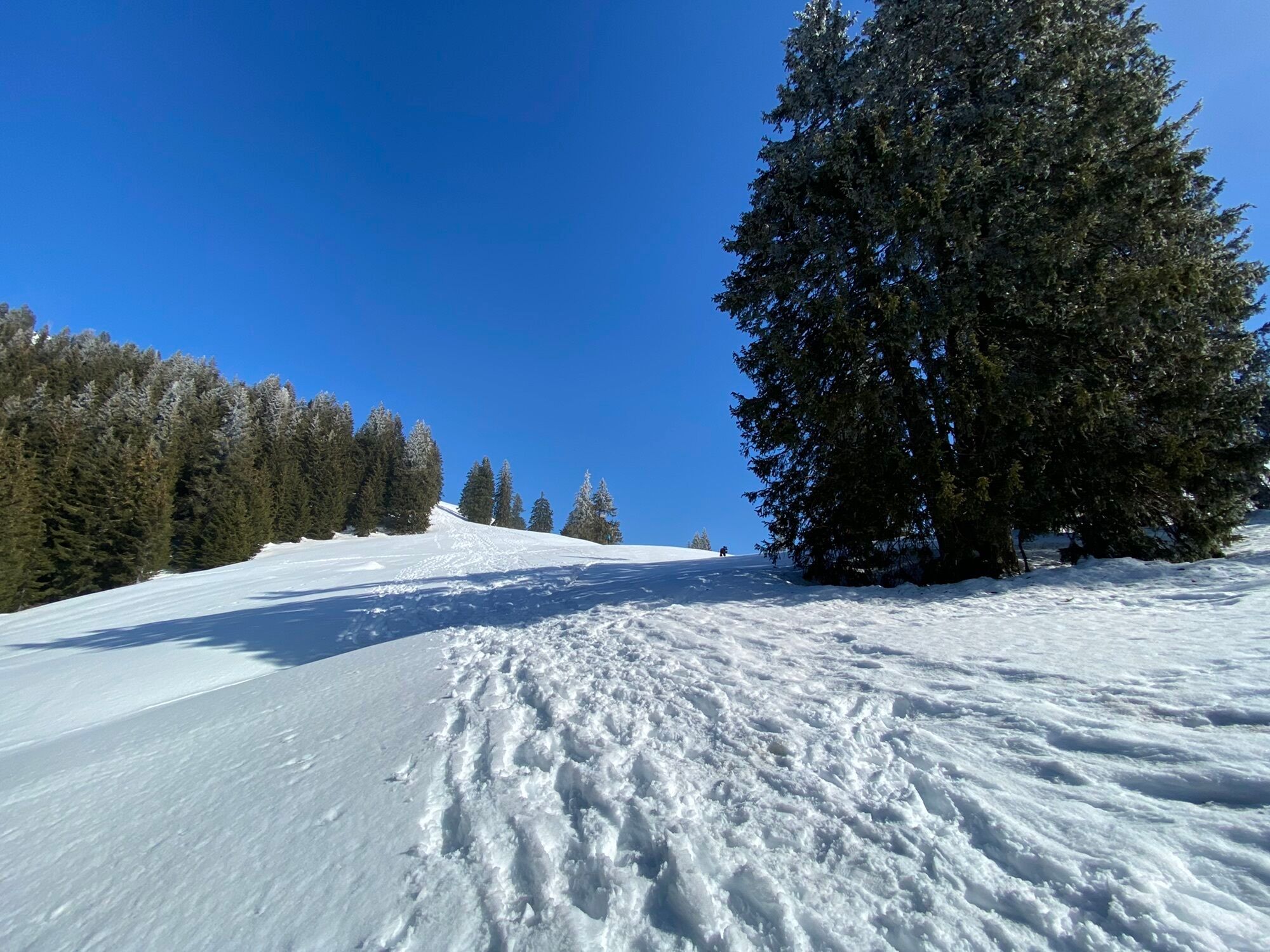
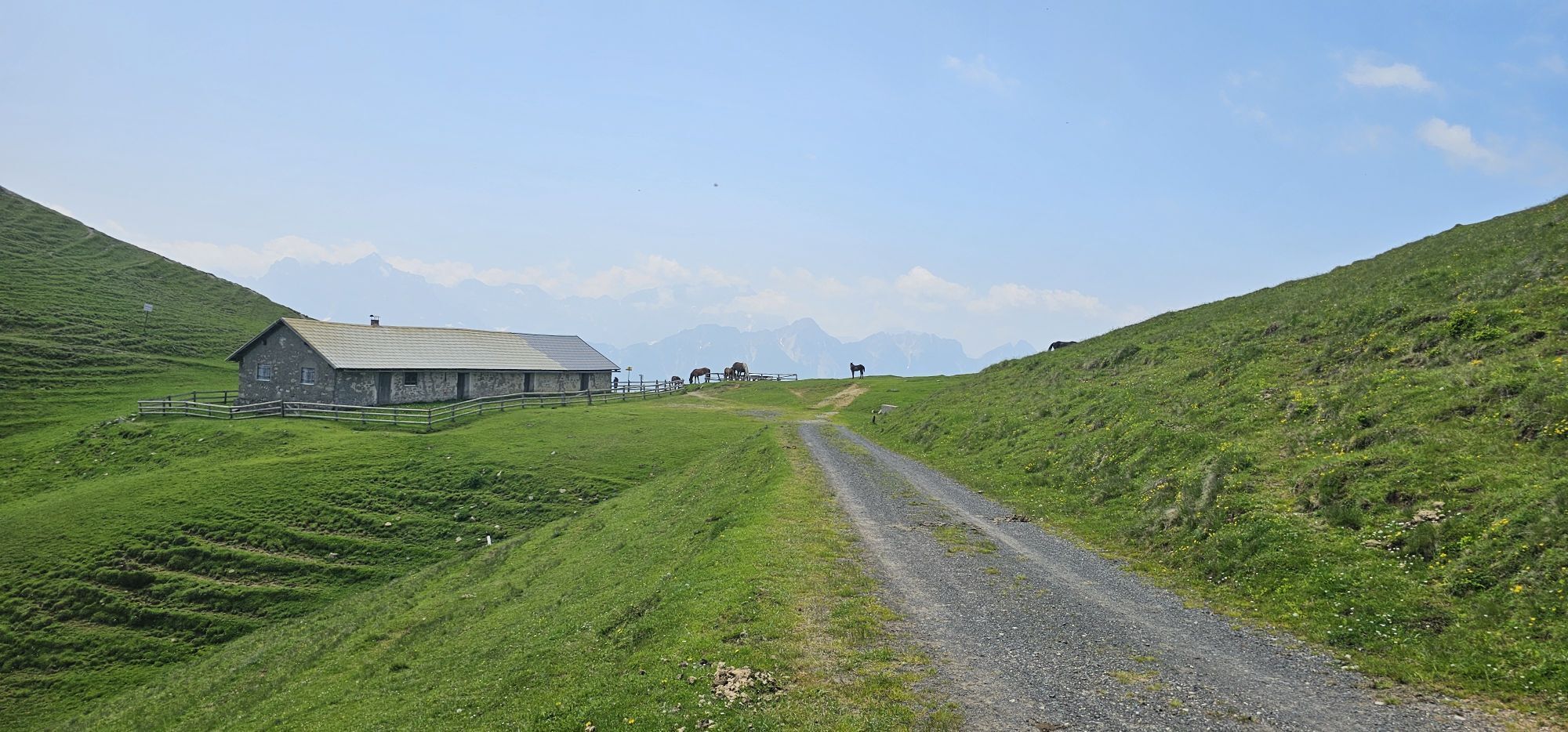
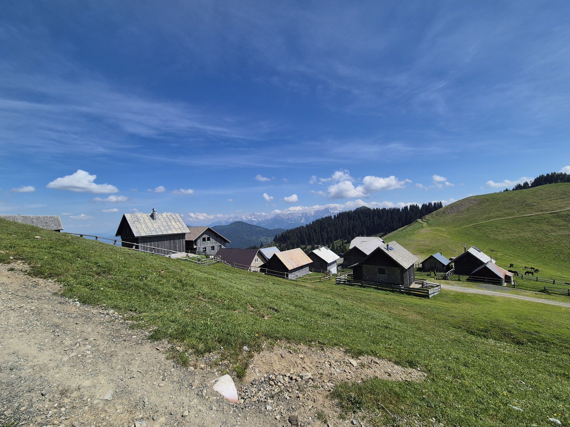
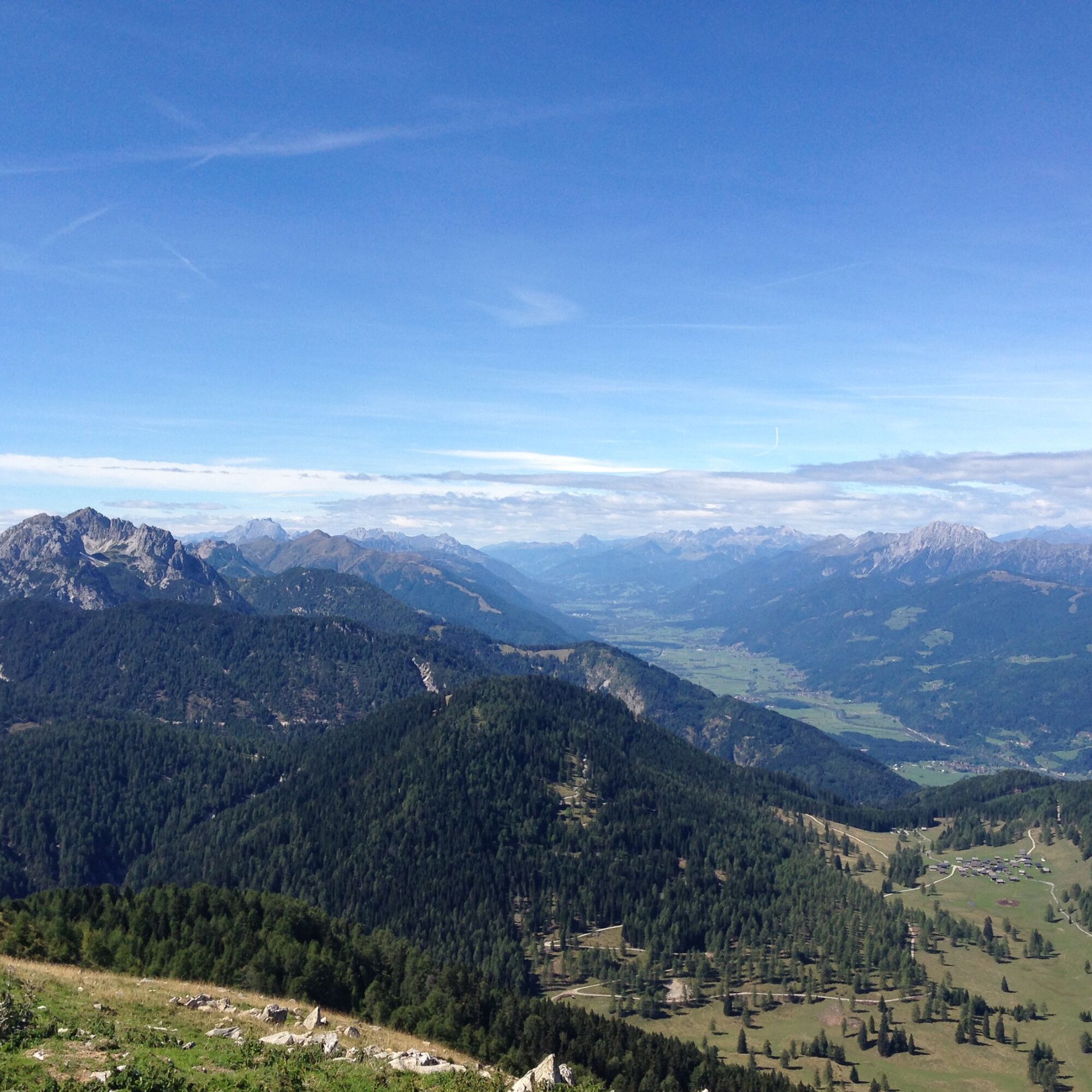
The slightly longer section east of the Plöcken Pass offers a gentle mountain landscape with extensive alpine meadows and easy hiking mountains. West of the Plöcken Pass stretches the more alpine part along the highest peaks of the Carnic ridge. The alpine long-distance trail passes through a very beautiful and varied landscape.

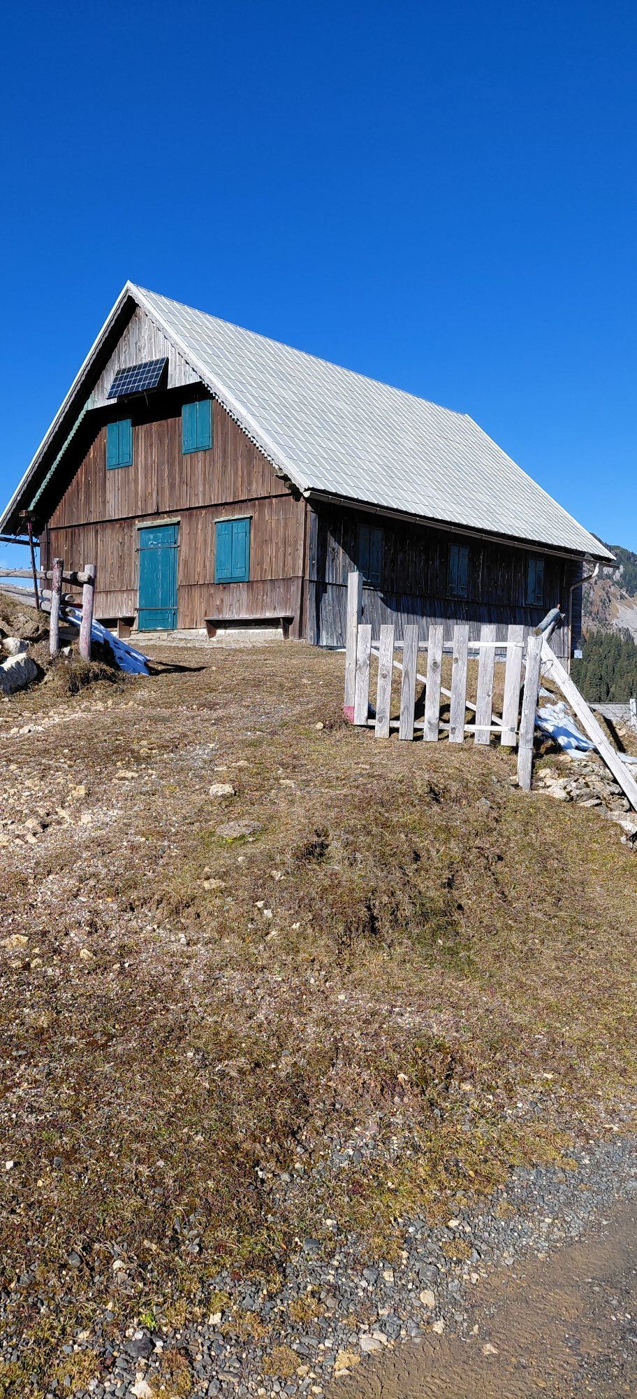
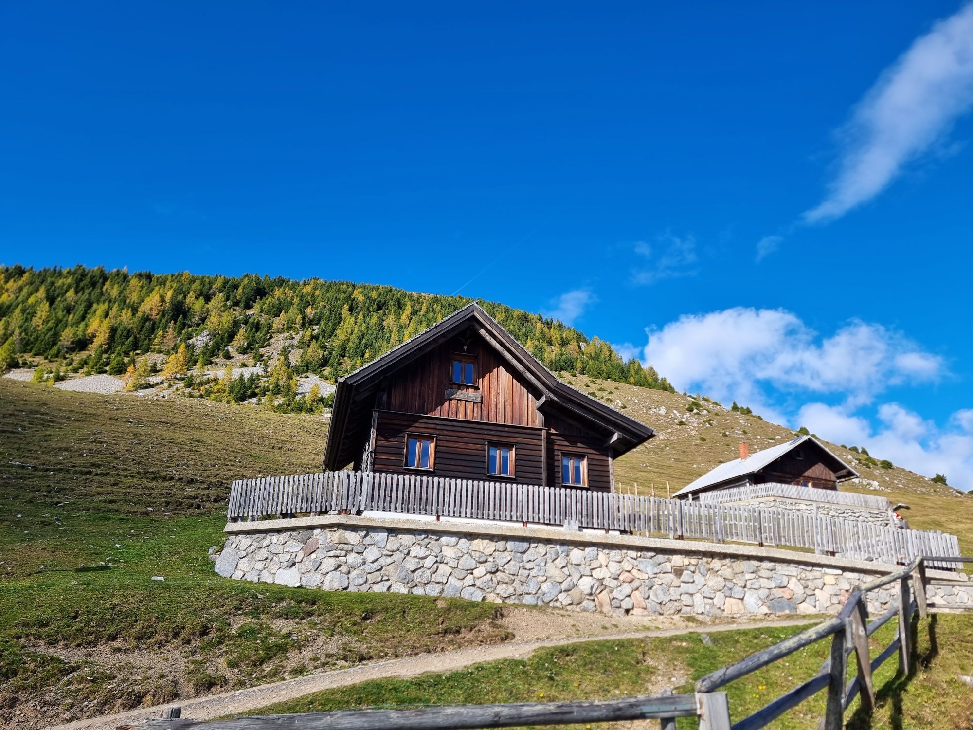
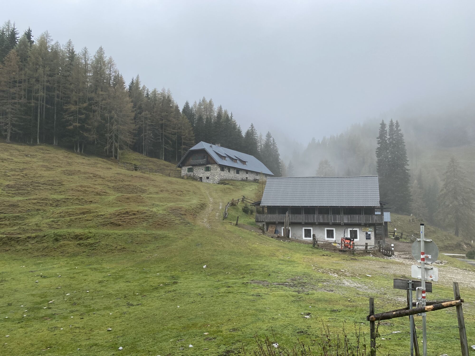
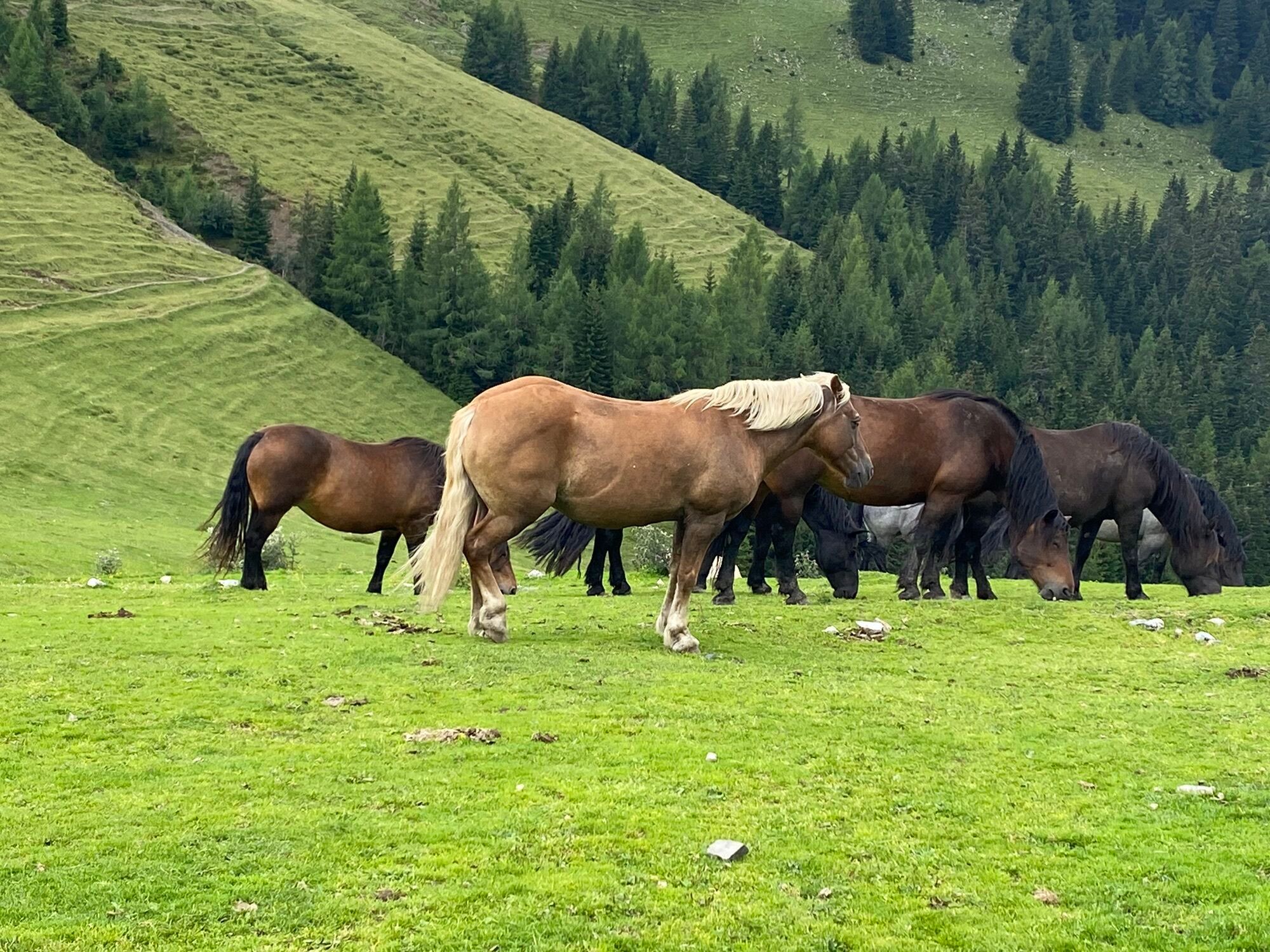
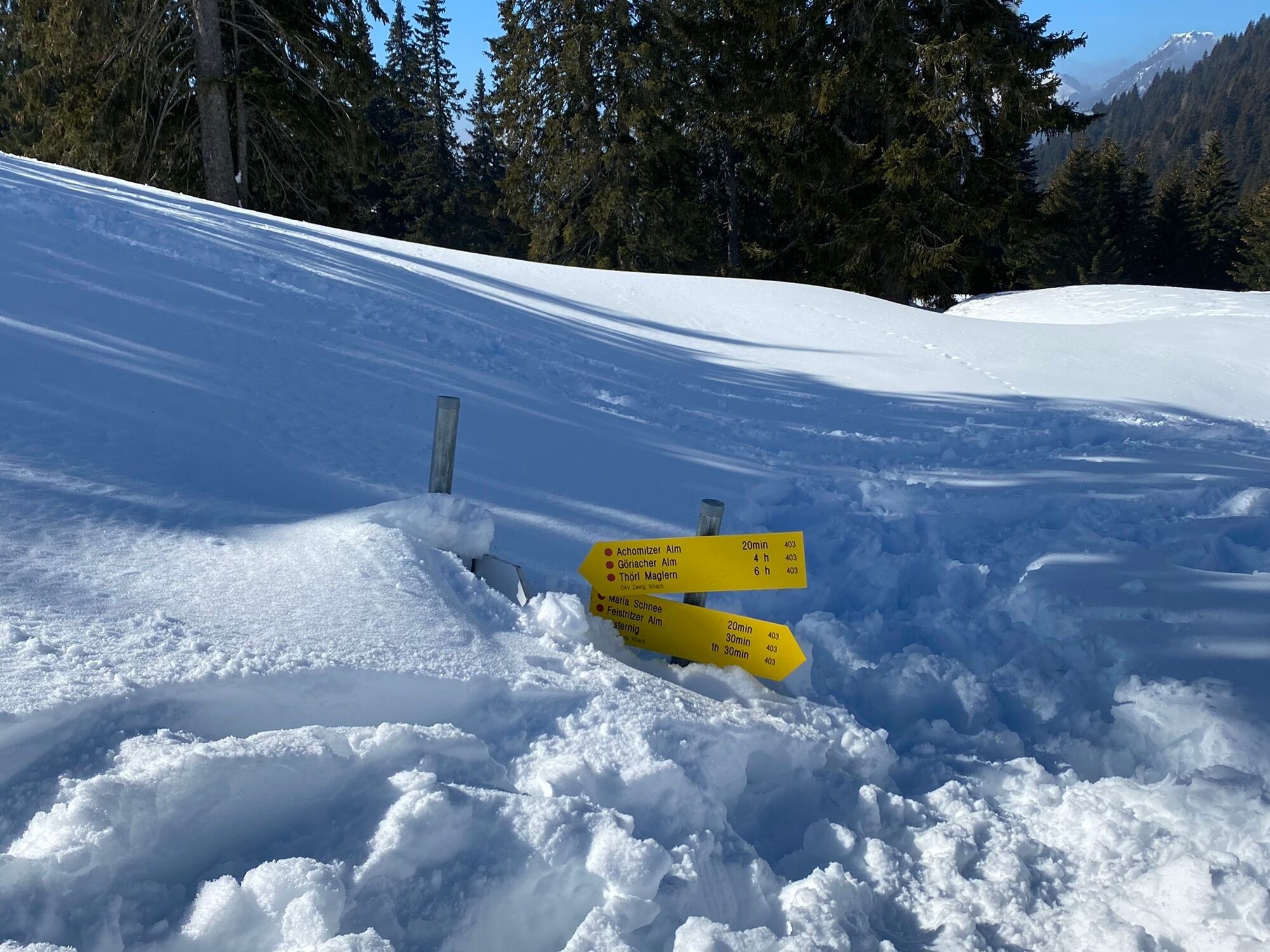
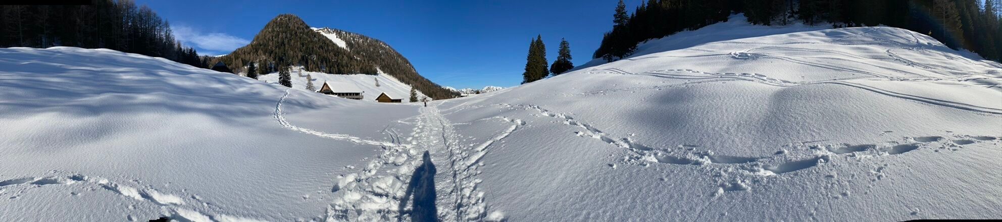
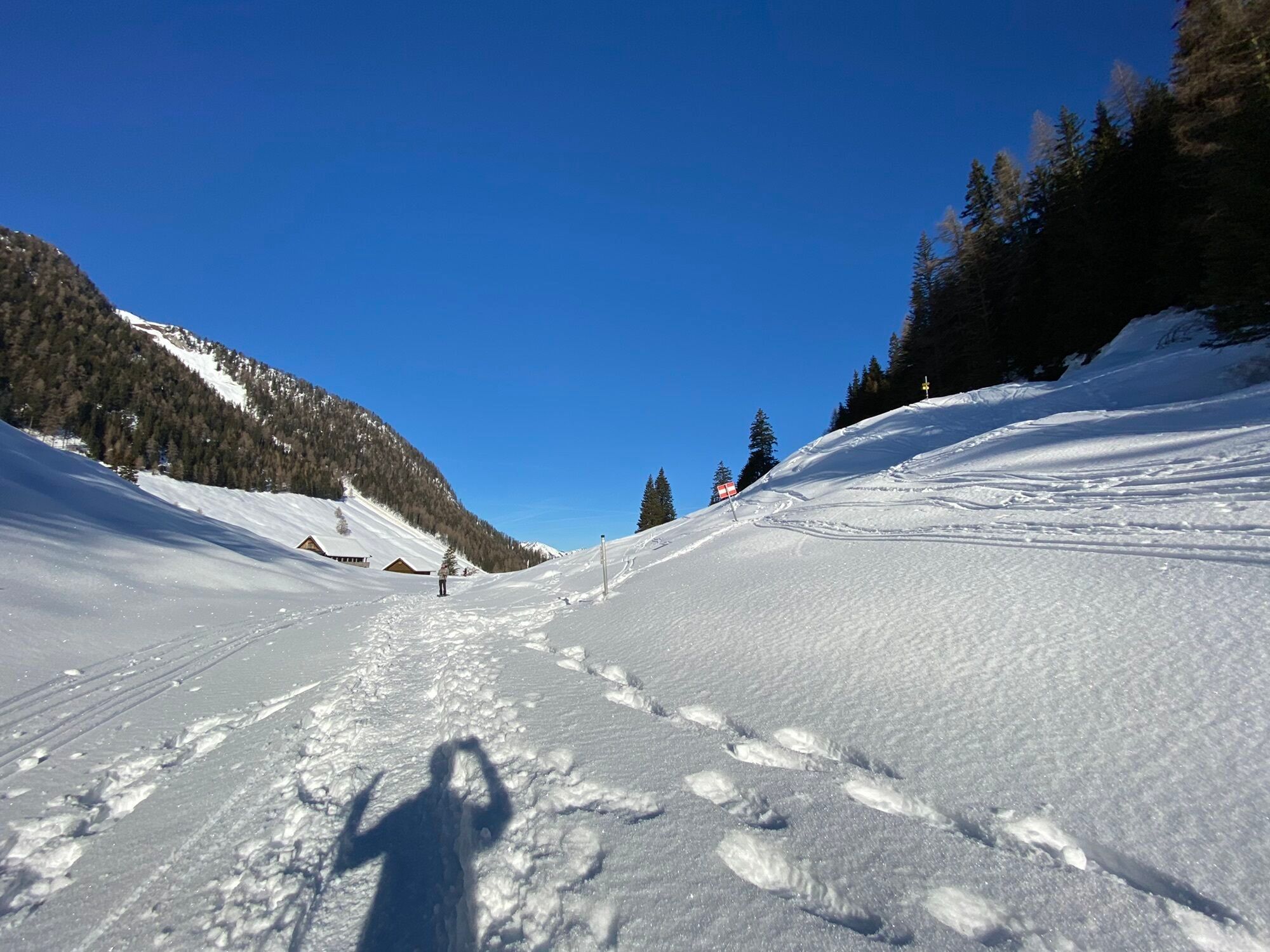
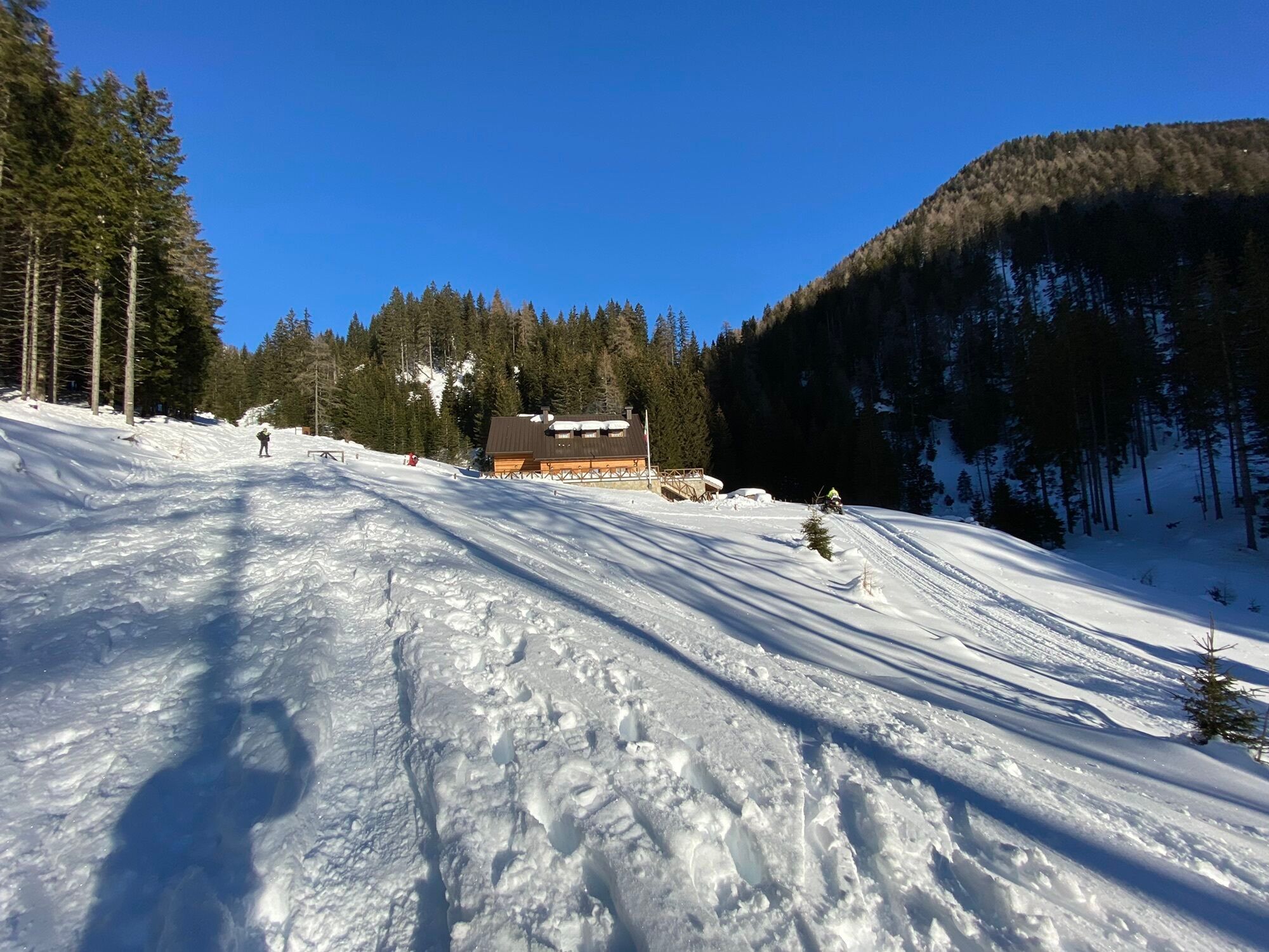
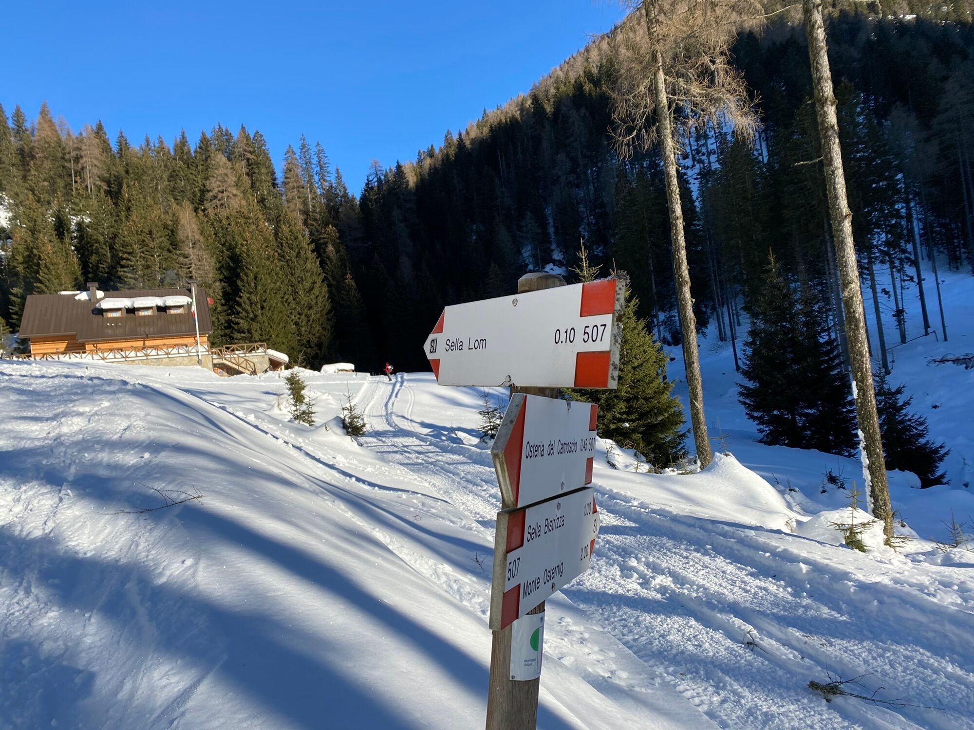
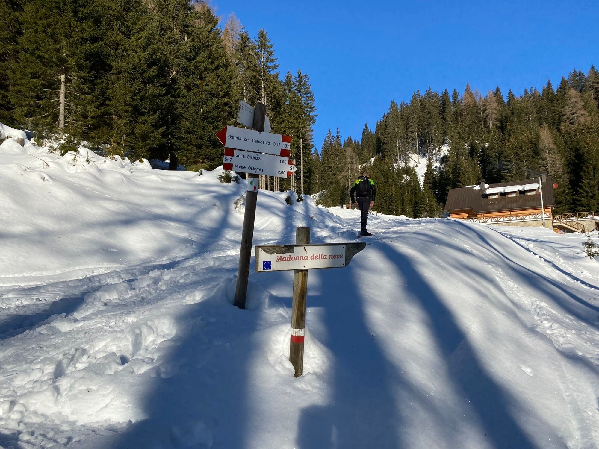
The KHW towards Thörl-Maglern leads over Italian territory back to Austria and further to the Feistritzer Alm. The Feistritzer Alm is one of the last stations of the Carnic High Trail. From here it goes via the Achomitzer Alm, the Goriacher Alm and the following forest road to Maglern, your destination at the end of the Carnic High Trail.
Tak
Checklist tips:
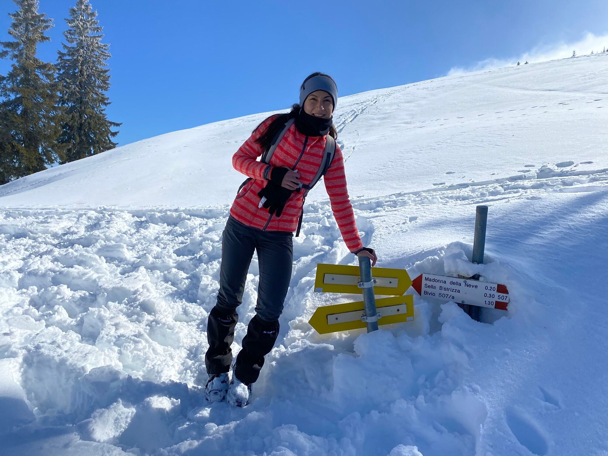
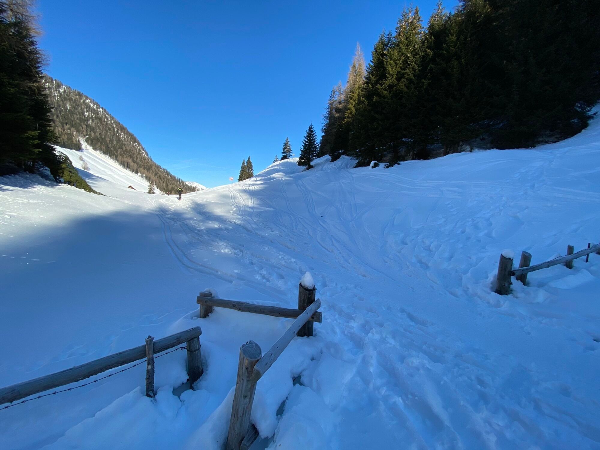
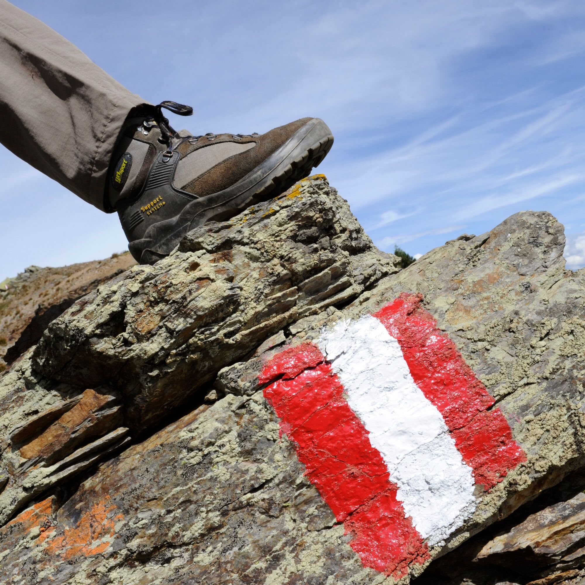
Sturdy footwear (hiking boots or mountain boots) (Hiking) clothing for all weather conditions: rain protection, hats, gloves, ... (according to the season) First aid kit Money Cell phone or radio device Hiking maps Backpack Sun protection and sunglasses Flashlight or headlamp Supplies (drinks, water bottles and possibly food) Toiletries Possibly hiking poles ...Mostly alpine terrain, especially in the western part of the Carnic High Trail. Surefootedness, surety at heights and the ability to overcome easy climbing sections are required. Physically partially very demanding.
Approximately 9 km drive from Vorderberg
Parking available
More info at the Info & Service Center Nassfeld-Pressegger under +43 4285 8241 and info@nassfeld.at
Summit ascents can also be included in the conventional route. Particularly recommended are the local mountain Oisternig and the Starhand.
Popularne wycieczki w okolicy
- 4,5
Auf den Dobratsch mit der ganzen Familie
Wędrówka 8,40 km - 4,8
Jeziora Fusine
światłoWędrówka 5,43 km - 4,9
Monte Lussari über den alten Pilgerweg
średniWędrówka 6,43 km - 4,9
Orrido dello Slizza, Tarvisio, Italië
światłoWędrówka 2,65 km - 4,7
Gailtaler Alpen: Wanderung auf der Dobratsch
średniWędrówka 8,50 km - 4,5
Monte Lussari
średniWycieczka narciarska 10,7 km - 4,3
Zacchi Wanderung Rundweg
światłoWędrówka 8,85 km - 4,3
Grande Ponza
Via ferrata 9 km - 4,2
Monte Santo di Lussari, Skitour, Pilgerweg
średniWycieczka narciarska 9,35 km - 4,7
Weißenfelser Seen: Fusine in Valromana - Ai Sette Nani - Seealm
średniWędrówka 10,3 km
Wędrówki i tropienie


Nie przegap ofert i inspiracji na następne wakacje
Twój adres e-mail została dodana do listy mailingowej.