


Ciclovia Alpe-Adria Cycle Path, 3rd stage: Mallnitz - Spittal an der Drau
Poziom trudności: 2
Zdjęcia naszych użytkowników

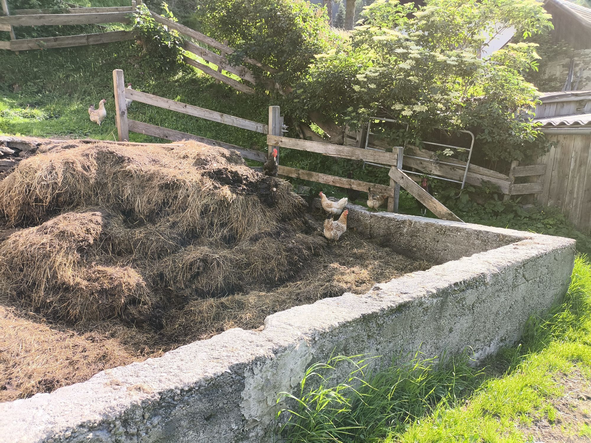
 © MangoleinUtworzono dnia 26.04.2026
 © MangoleinUtworzono dnia 26.04.2026
 © MangoleinUtworzono dnia 26.04.2026
 © MangoleinUtworzono dnia 26.04.2026
 © MangoleinUtworzono dnia 26.04.2026
 © MangoleinUtworzono dnia 26.04.2026
 © MangoleinUtworzono dnia 26.04.2026
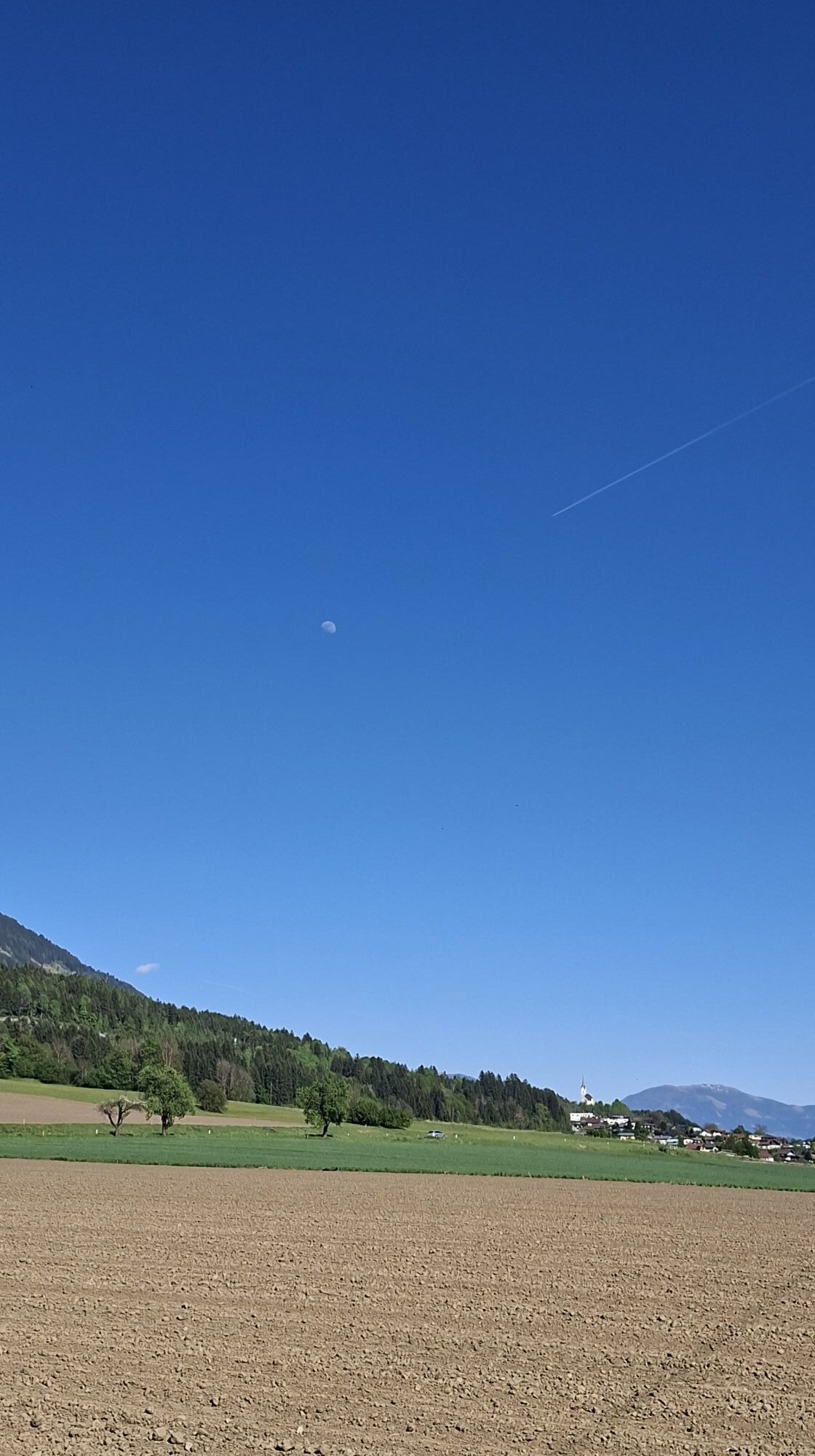
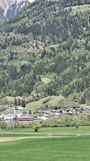 © MangoleinUtworzono dnia 26.04.2026
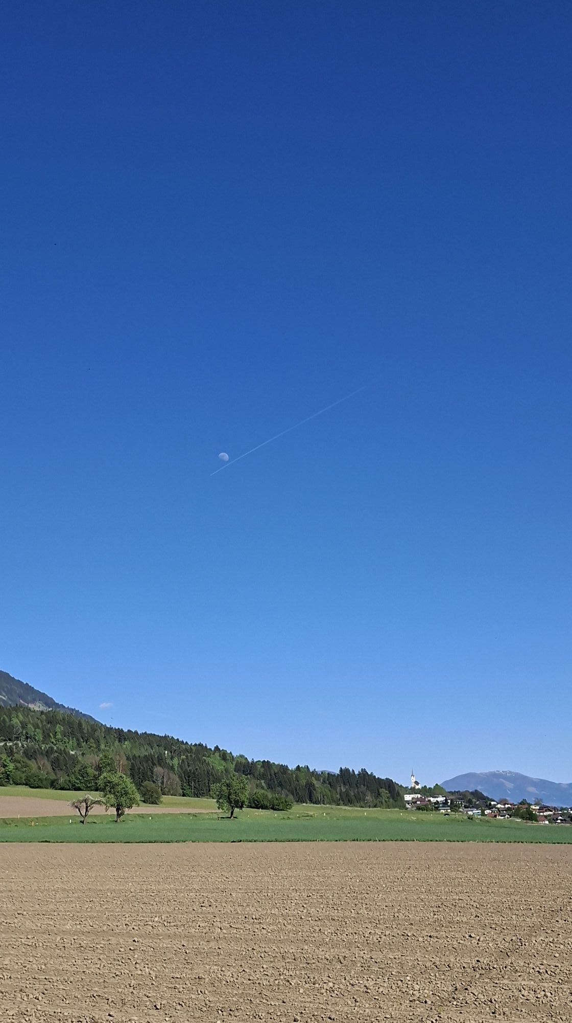
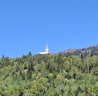 © MangoleinUtworzono dnia 26.04.2026
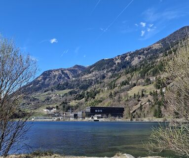 © MangoleinUtworzono dnia 05.04.2026
 © MangoleinUtworzono dnia 05.04.2026
 © Patrick FresenbergerUtworzono dnia 11.06.2025
 © Patrick FresenbergerUtworzono dnia 11.06.2025
 © Patrick FresenbergerUtworzono dnia 11.06.2025
 © Patrick FresenbergerUtworzono dnia 11.06.2025
 © Anita ObermoserUtworzono dnia 14.04.2026
 © Peter Winkler 4Utworzono dnia 14.11.2025
 © VladkaUtworzono dnia 24.08.2025
 © VladkaUtworzono dnia 24.08.2025
 © Silvio ErnstUtworzono dnia 17.06.2025
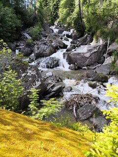 © Silvio ErnstUtworzono dnia 17.06.2025
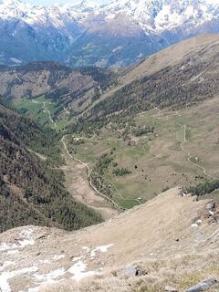
 © Andreas LampersbergerUtworzono dnia 30.05.2025


The cycle path leads from Mallnitz station to the left, along the federal road, to Obervellach. However, a detour to the right into the town is recommended, either for a stop, visiting the BIOS National Park Center Mallnitz, or for an overnight stay before continuing.
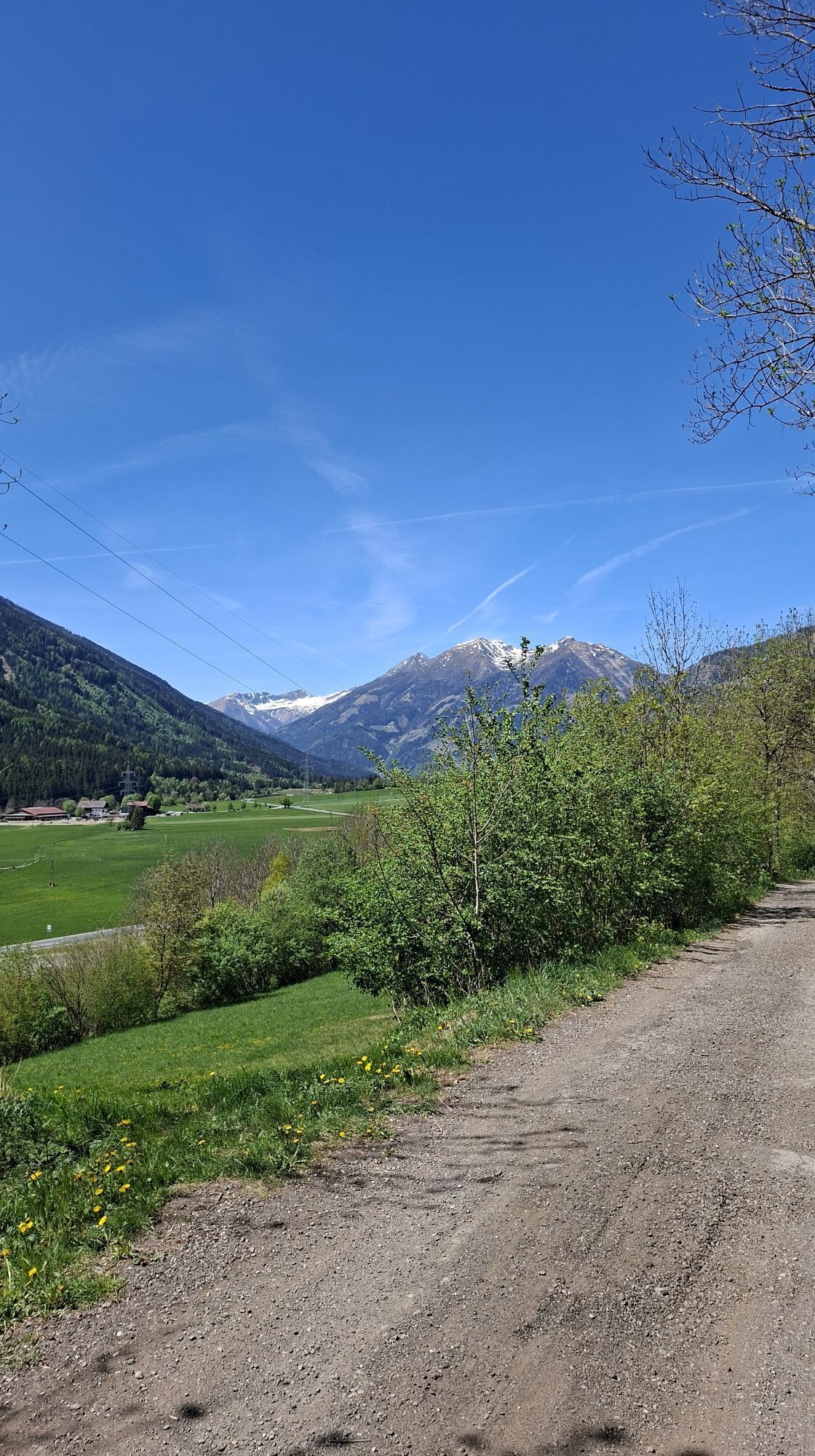
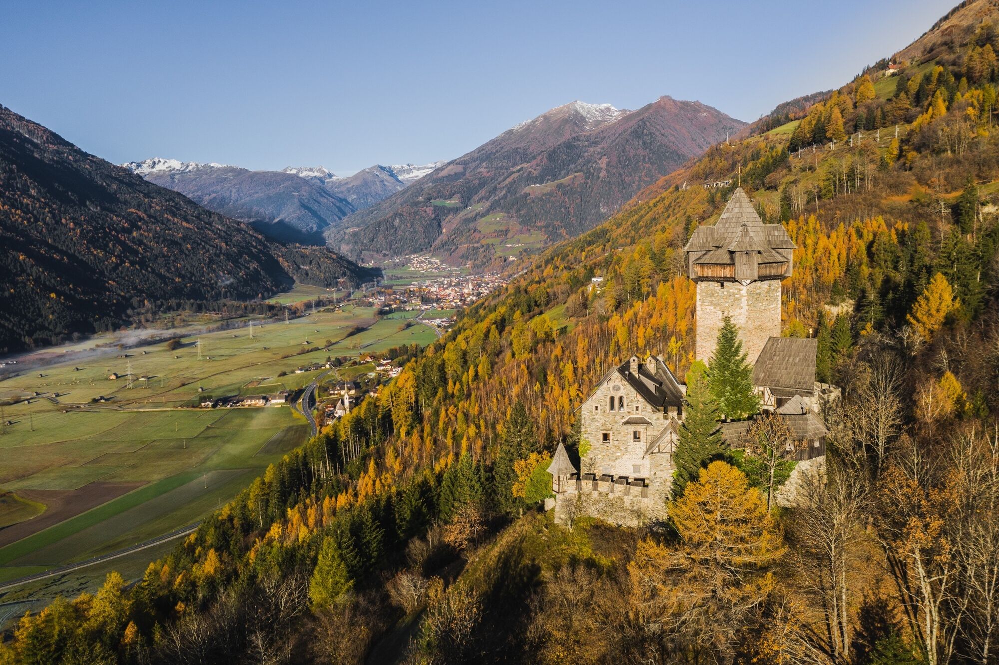
In Obervellach, the Alpe-Adria Cycle Path joins the Glockner Cycle Path R8. Shortly before the junction of the Mallnitz federal road with the Mölltal federal road, the path branches left into the town center. The historic town center of Obervellach invites you to rest and sightseeing. The cycle path now continues with slight ups and downs, partly on village roads, through the villages of Stallhofen, Gratschach, and Gappen to Penk. Here the path switches to the right (southern) side of the valley and passes Danielsberg on the way to Kolbnitz, the valley village of the Kreuzeckbahn.
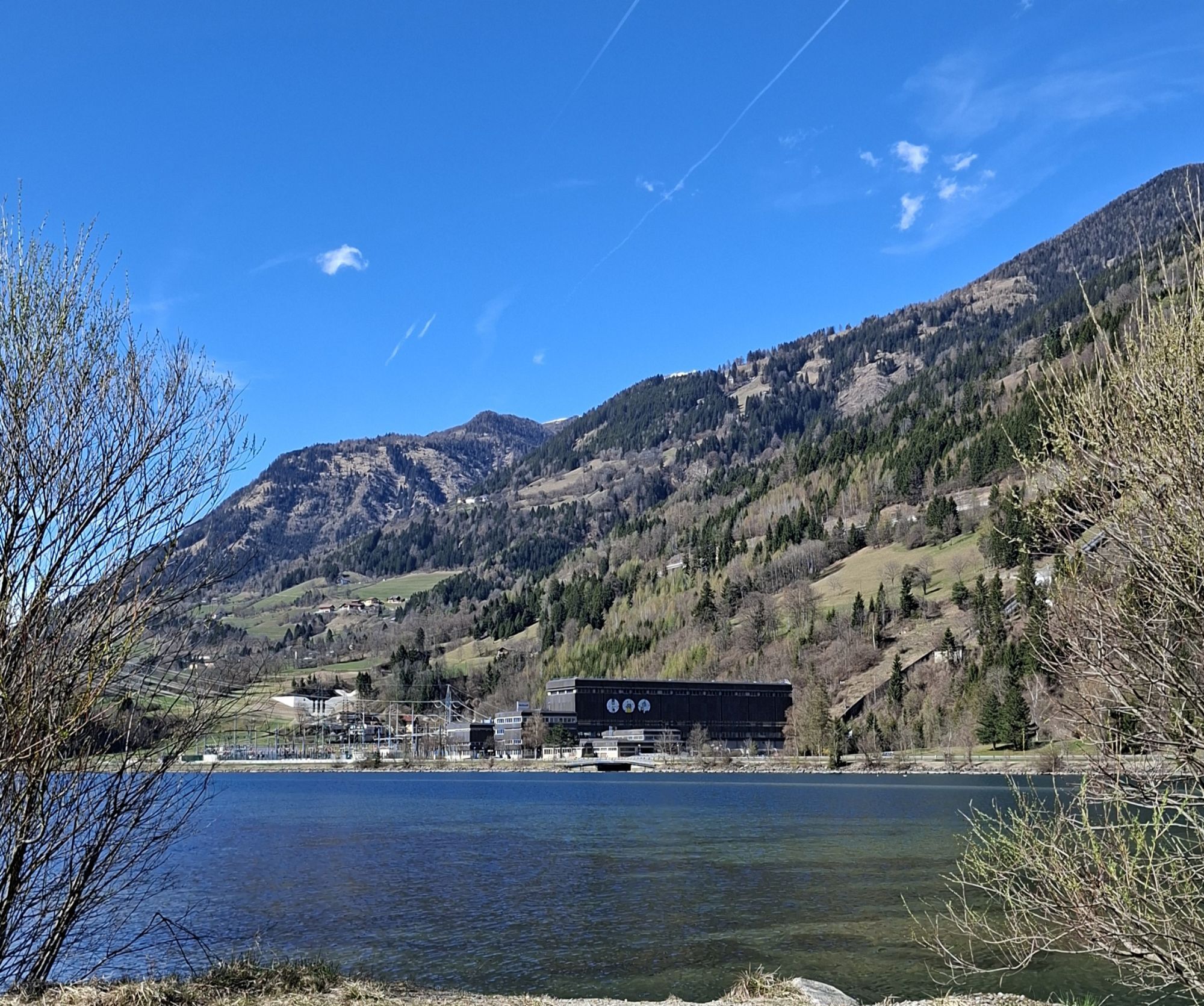
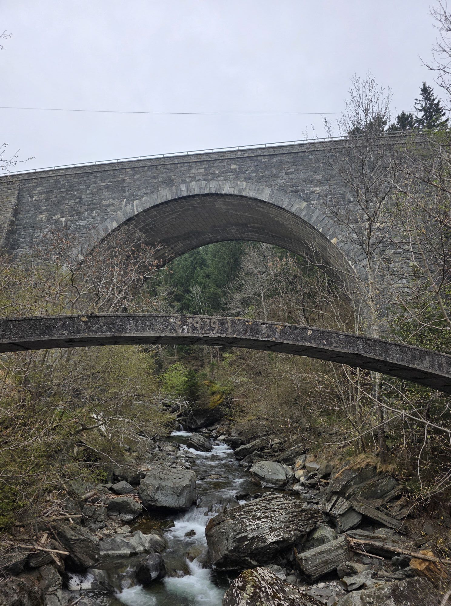
Past the Möll or the reservoir, the path continues to Mühldorf. Shortly after the village, the path leads through the recreational area with a bathing pond. Finally, the last village in the Möll Valley, Möllbrücke, is reached. The cycle path leads over the "Möll Bridge" to the right, through the town center, and joins the Drava Cycle Path R1 opposite the station.
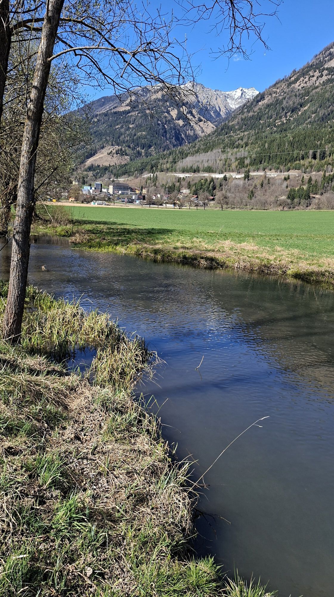
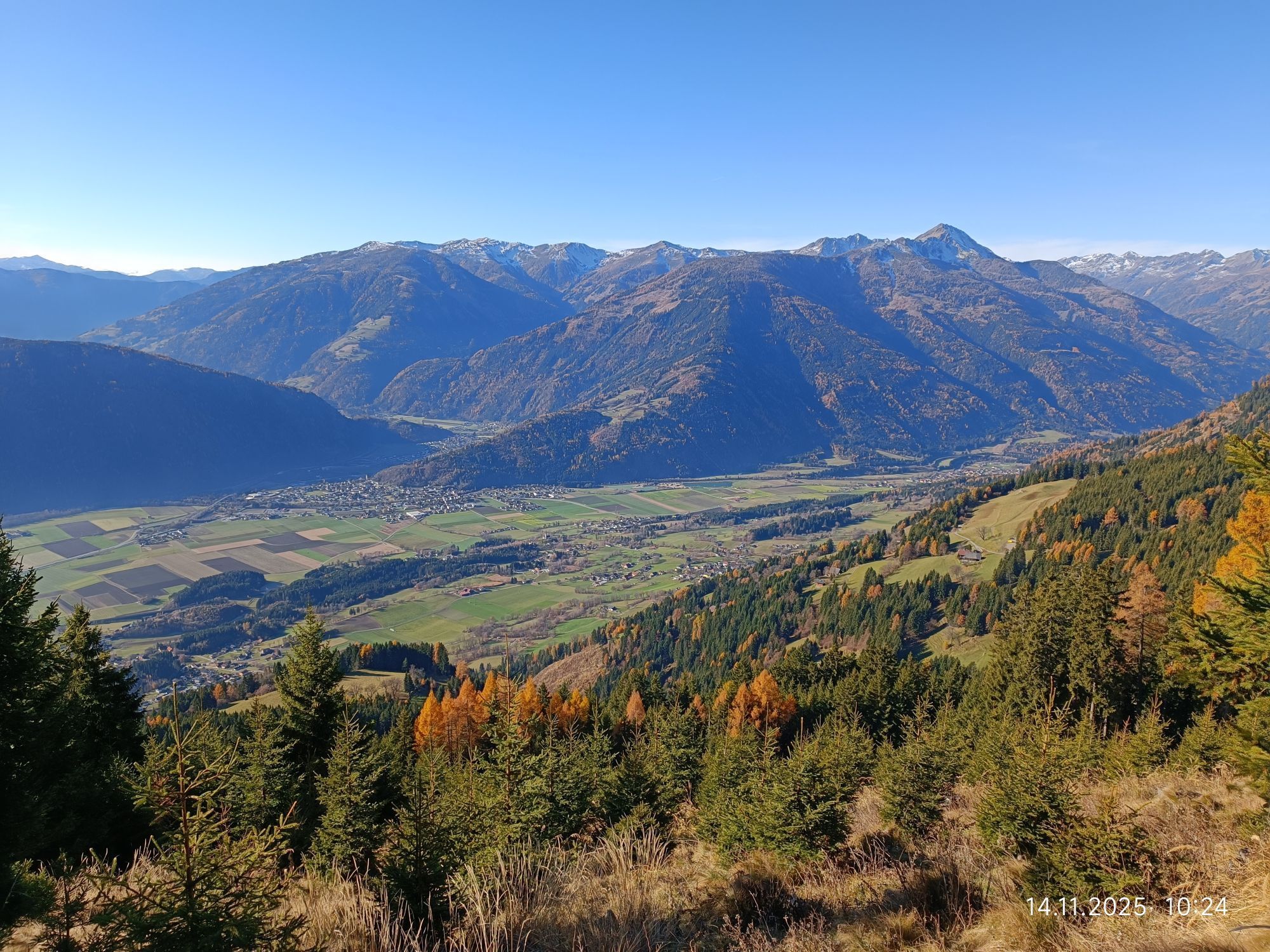
Here we ride left, about 1 km along the federal road, before the cycle path leaves the road to the right and continues through the wide Lurnfeld towards Spittal an der Drau.
Tak
Coming from Salzburg (Bad Gastein - Böckstein), the cycle path uses the ÖBB car shuttle Tauern Railway to cross the main Alpine ridge.
The trains depart from Böckstein always 20 minutes past the hour, the travel time to Mallnitz is about 13 minutes.
In the opposite direction, the trains always depart 10 minutes before the hour in Mallnitz.
ÖBB ticket shop - Discounted tickets for the Tauern Railway car shuttle
Large park & ride parking lot at Mallnitz-Obervellach station.
2
Combine the Alpe-Adria Cycle Path with a ride on the Glockner Cycle Path R8 in the Upper Möll Valley!
After an overnight stay in the area from Mallnitz to Möllbrücke, use the bike bus to Heiligenblut and experience an enjoyable cycling day in the National Park region!
Popularne wycieczki w okolicy
- 5,0
Bella Vista auf Hohe Leier
średniVia ferrata 15,6 km - 4,8
Wanderung zur Schwussner Hütte
światłoWędrówka 8,07 km - 4,5
Arthur von Schmidhaus
średniWędrówka 6,36 km - 3,9
Barbarossa Gorge near Mühldorf/Mölltal
światłoWędrówka 2,74 km - 5,0
Bergfried Hütte, Stoder 2433, Gmeineck 2592
ciężkiWędrówka 8,23 km - 3,6
Hochalmspitze von der Gießener Hütte (Aufstieg Detmolder Grat, Abstieg Steinerne Mandln)
ciężkiWędrówka 13,4 km - 4,8
Mühldorfer Alm - Kleiner Salzkofel
średniWędrówka 11,6 km - 5,0
Ankogelgruppe - Säuleck 3.086m - Detmolder Weg mit zu viel Schnee
ciężkiWycieczka wysokogórska 23 km - 4,7
Böse Nase
średniWędrówka 10,5 km - 4,7
Böse Nase | Gurglitzen, 9. Juni 2019 Lurnfeld, Österreich
średniWędrówka 8,51 km
Wędrówki i tropienie


Nie przegap ofert i inspiracji na następne wakacje
Twój adres e-mail została dodana do listy mailingowej.