







Lake loop 4th stage: Lake Pressegger See – Egg am Faaker See




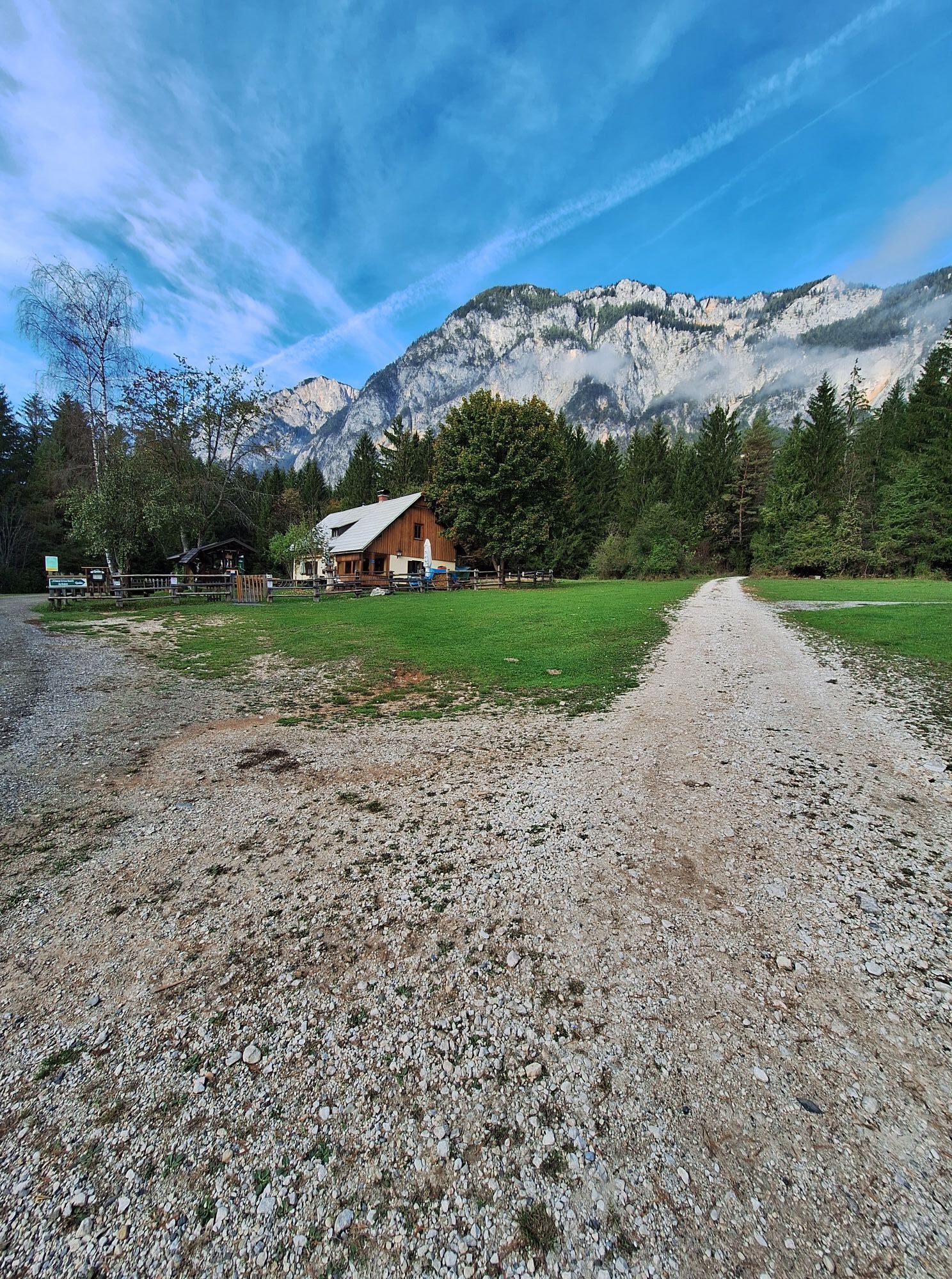
49 kilometres, 295 metres altitude difference
The most uphill stretches of the Carinthian Lake Loop are behind you. Today is a leisurely tour along the Gailtal cycle path on the borders to Italy and...
49 kilometres, 295 metres altitude difference
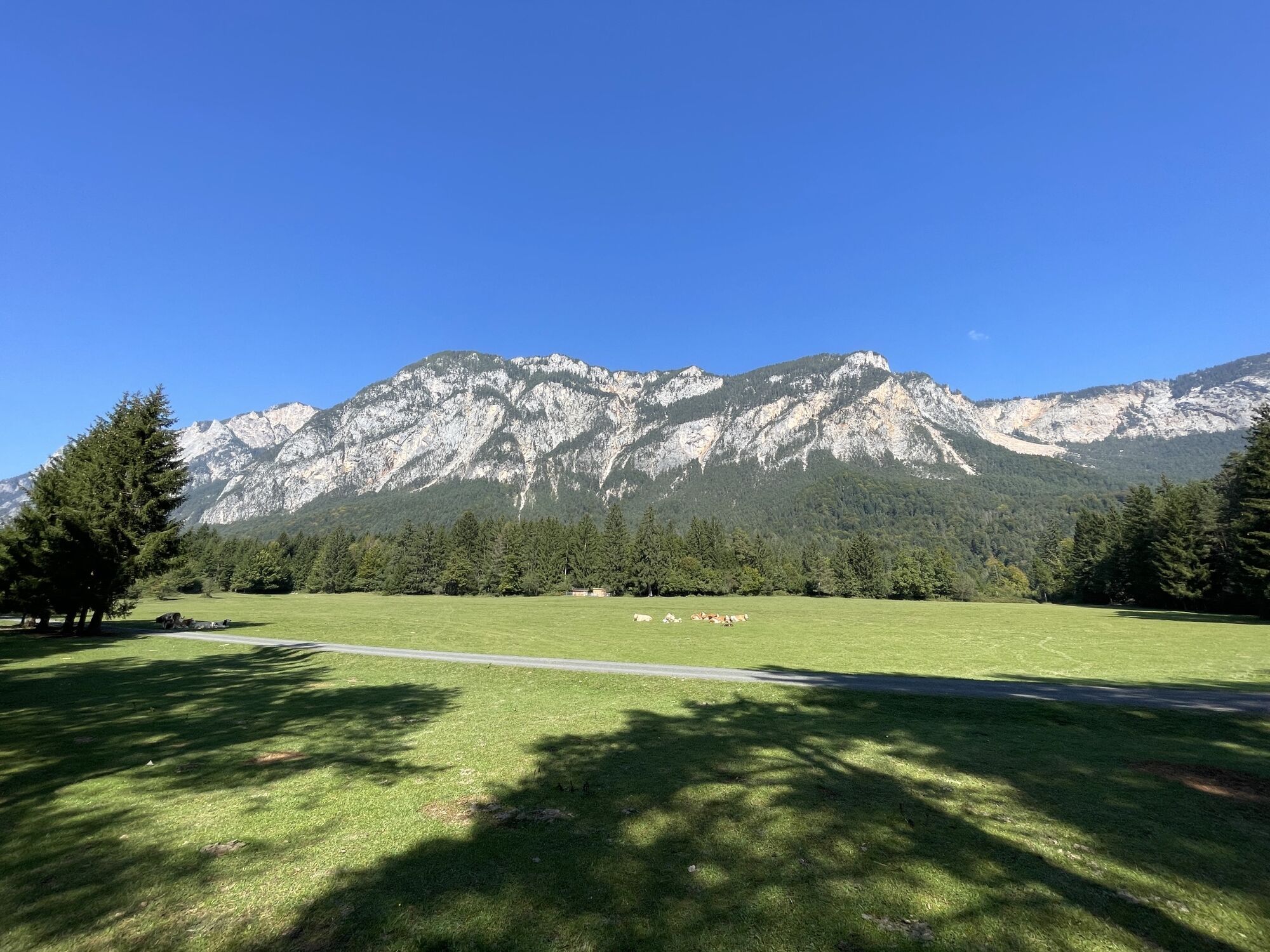
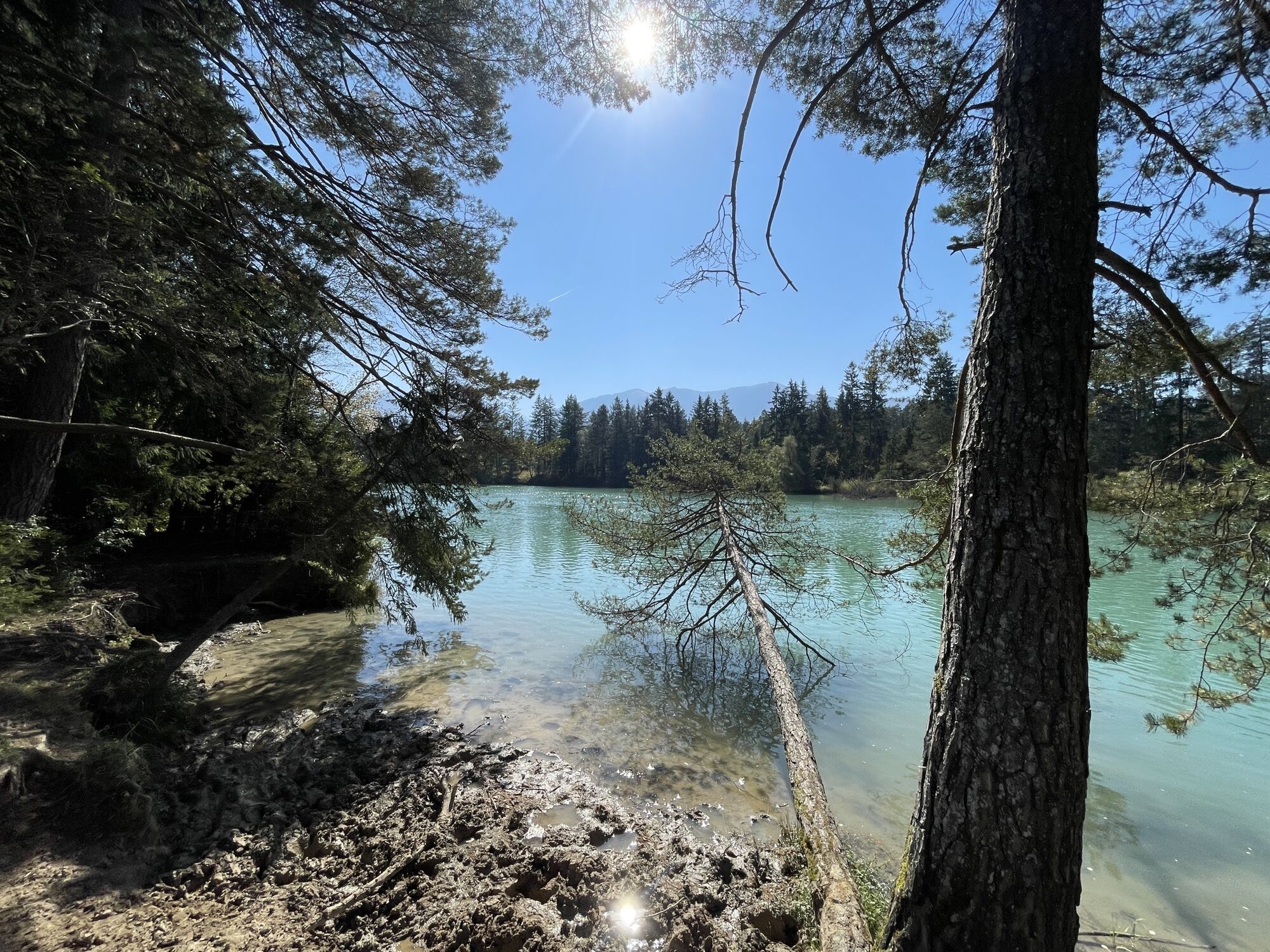
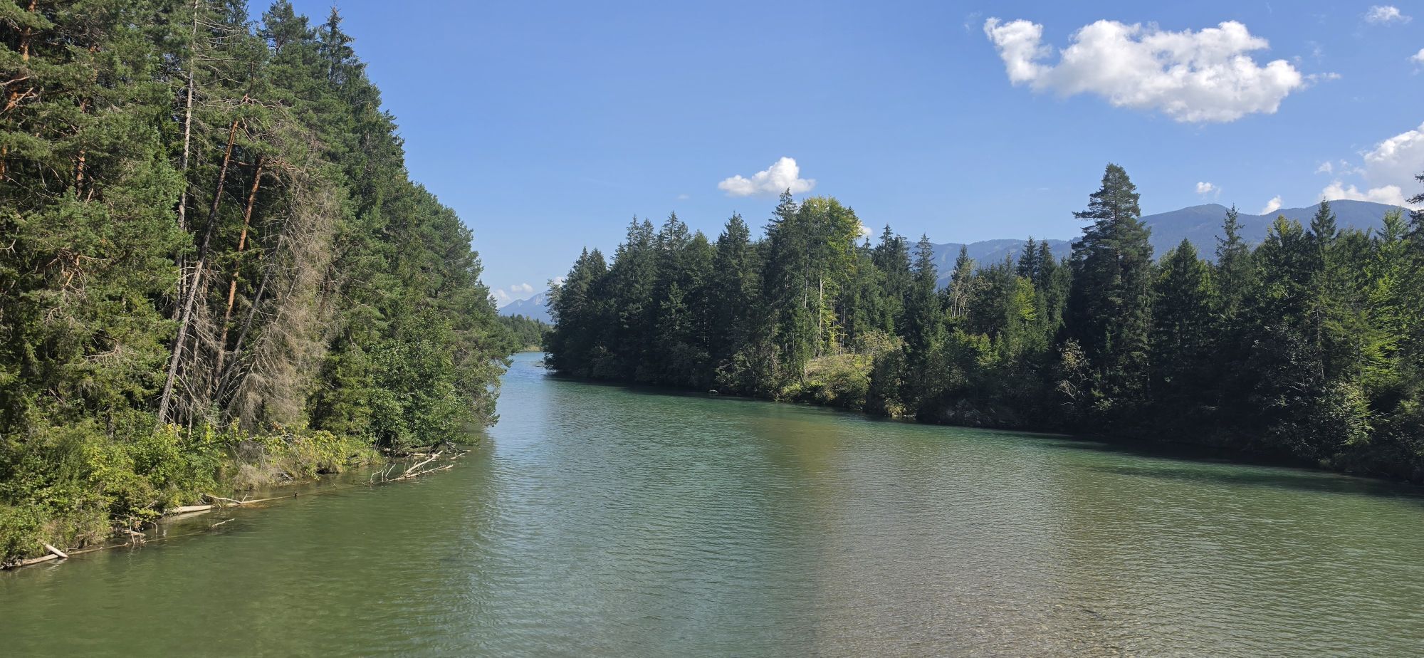
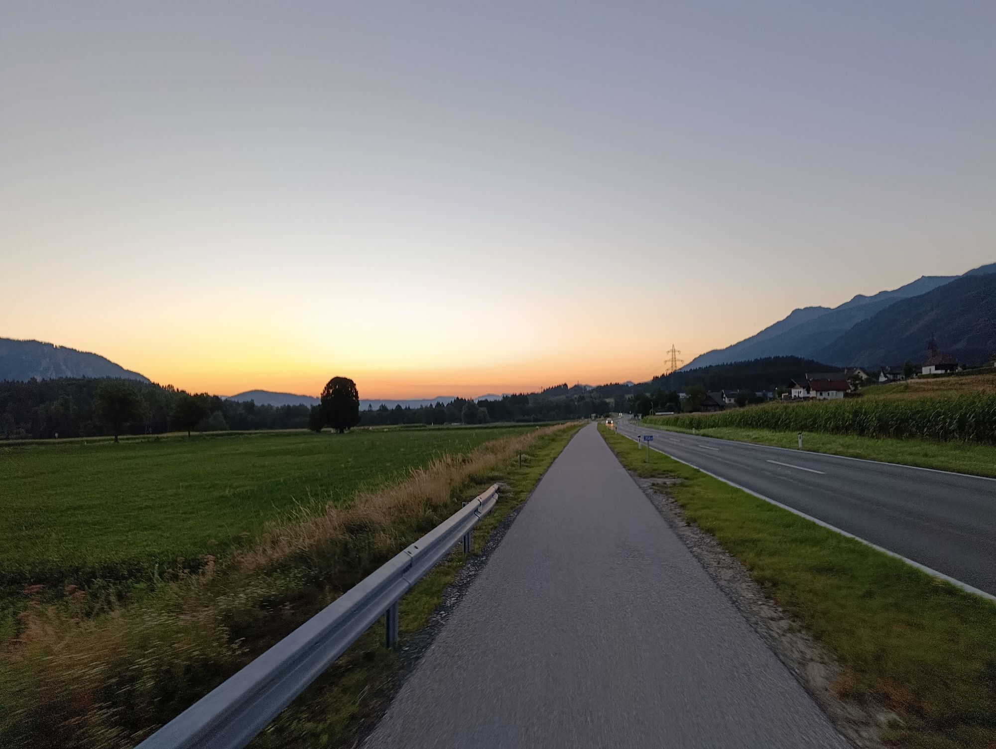
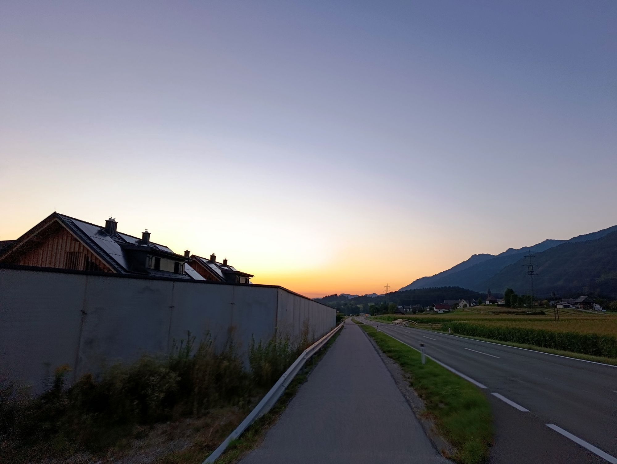
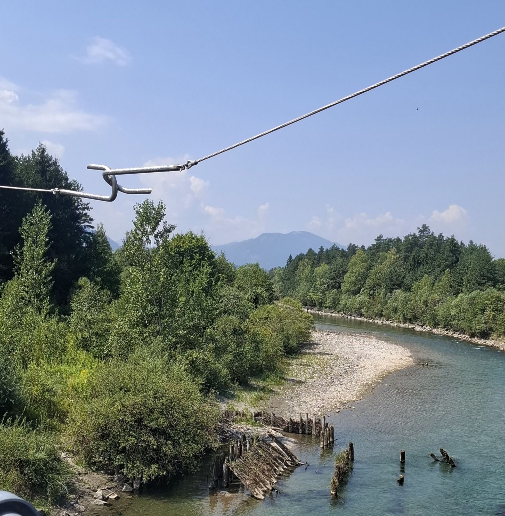
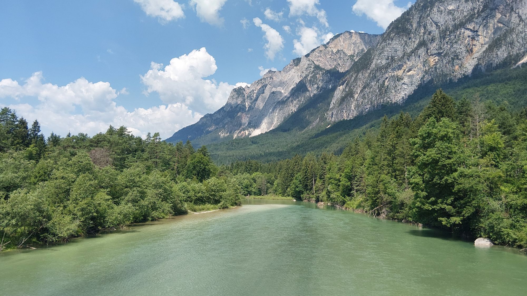
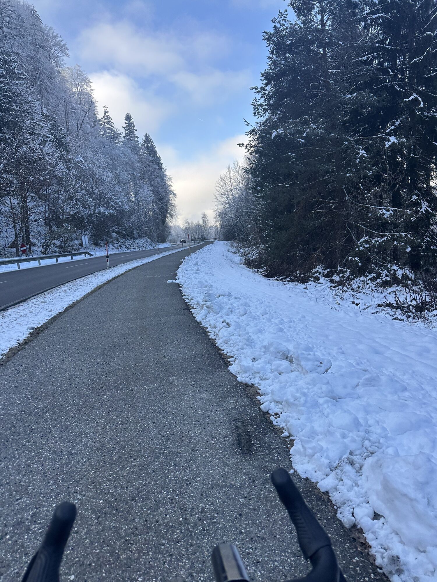
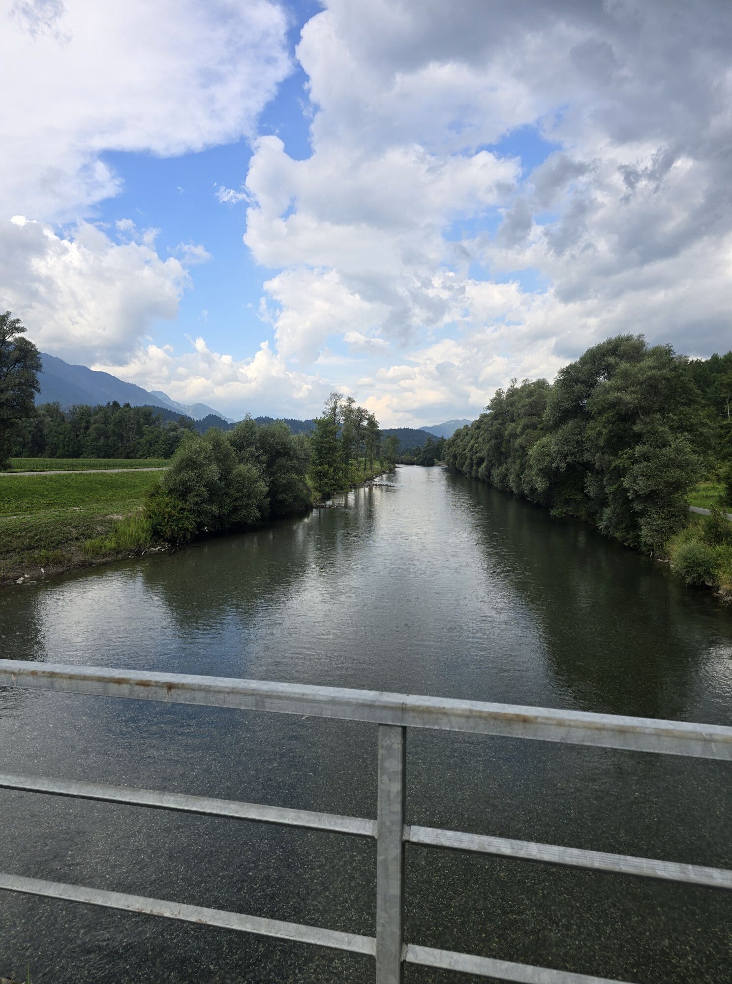
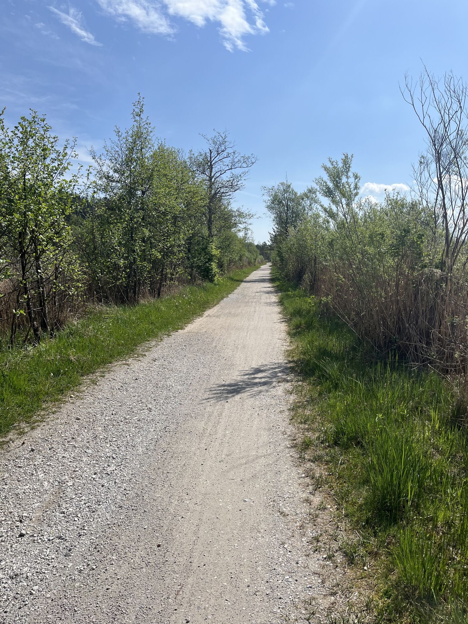
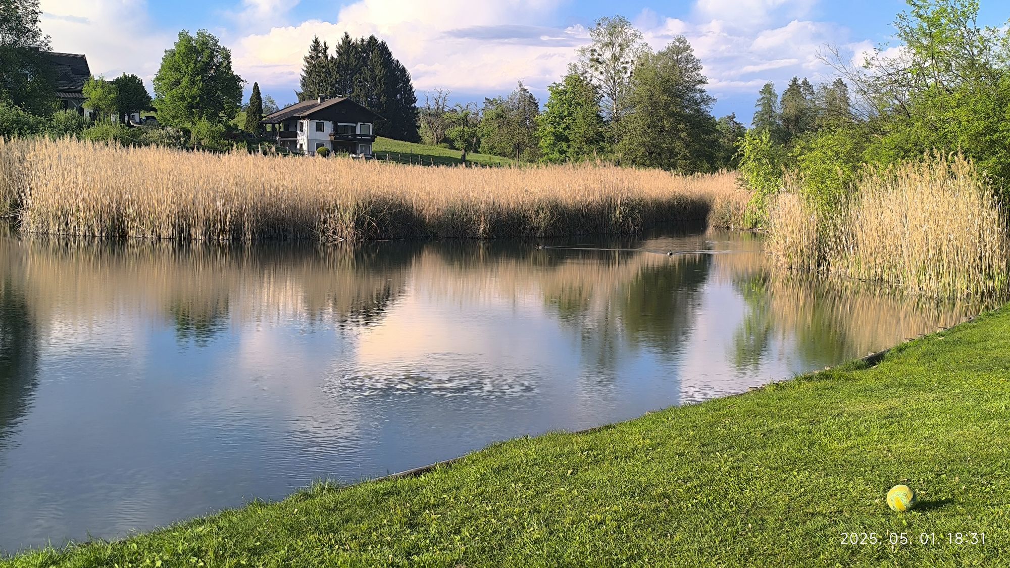
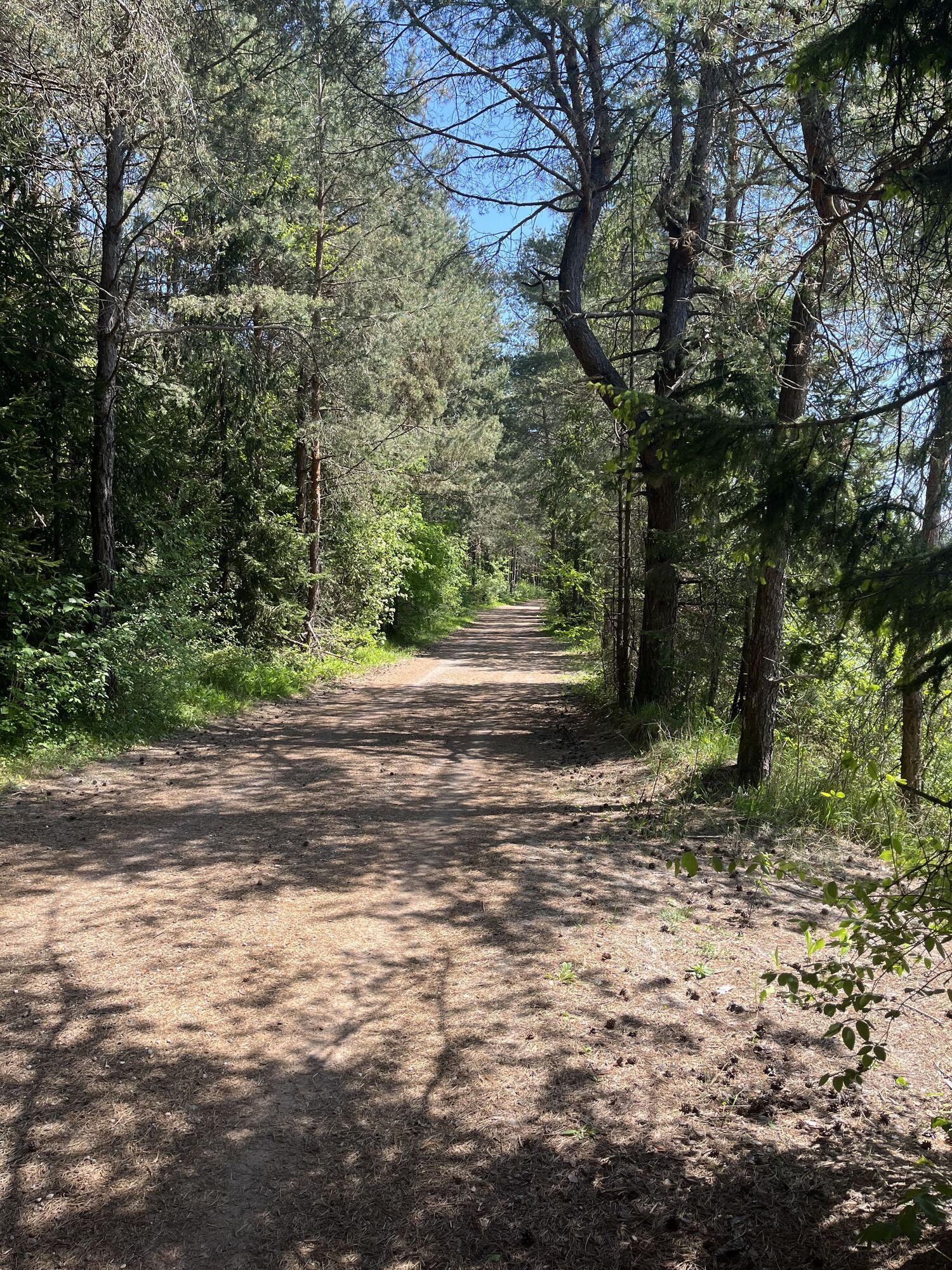
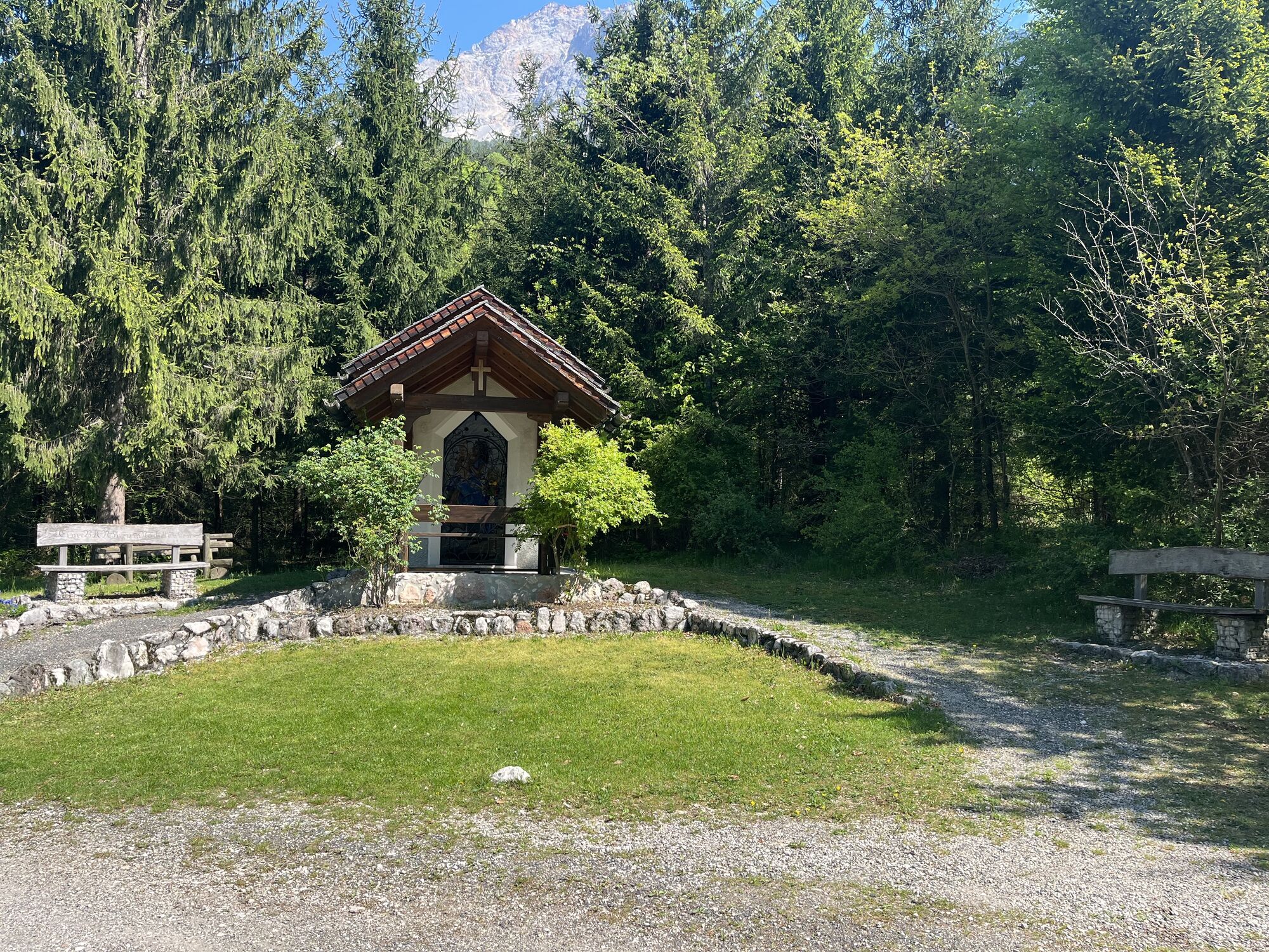
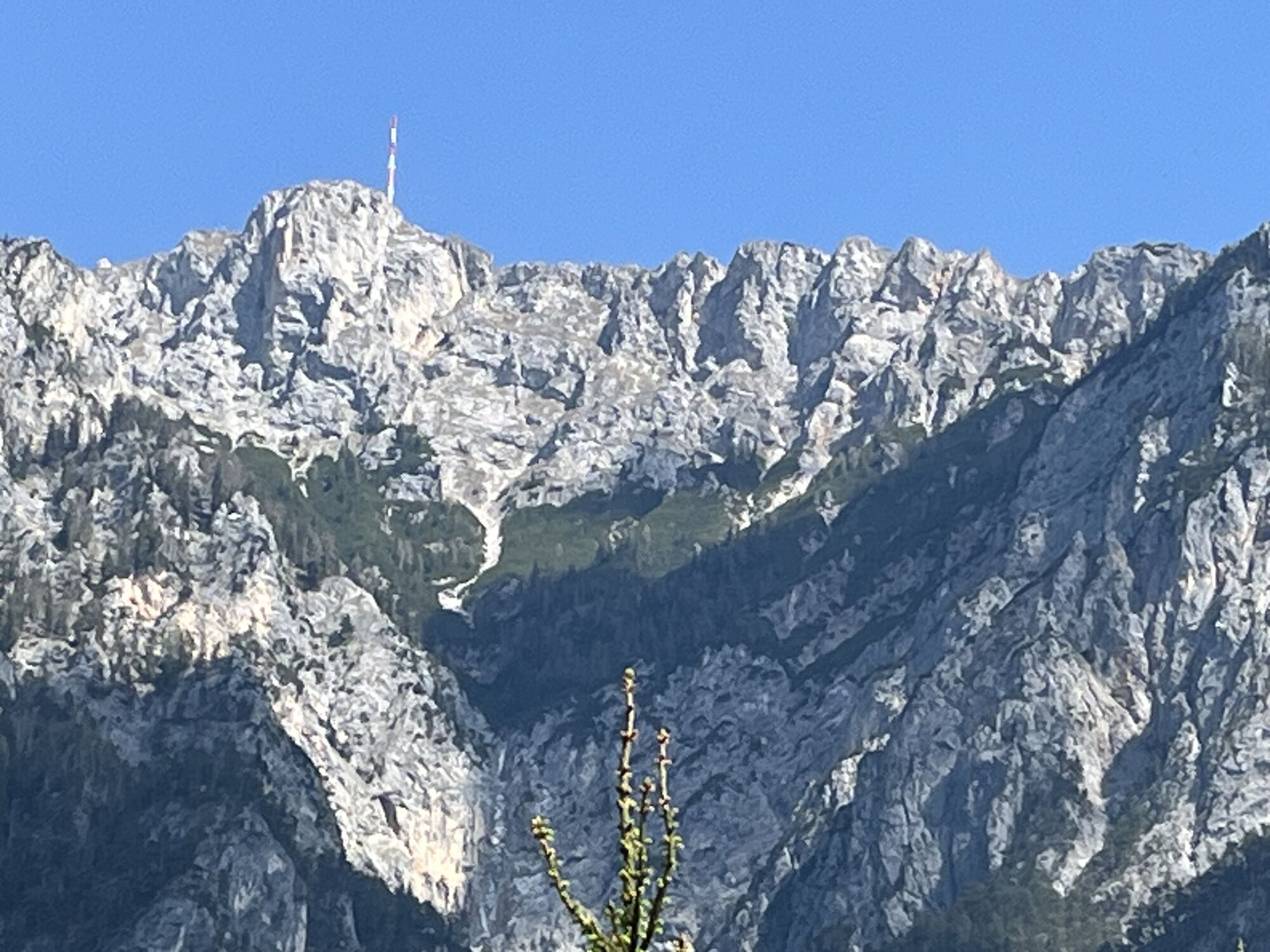
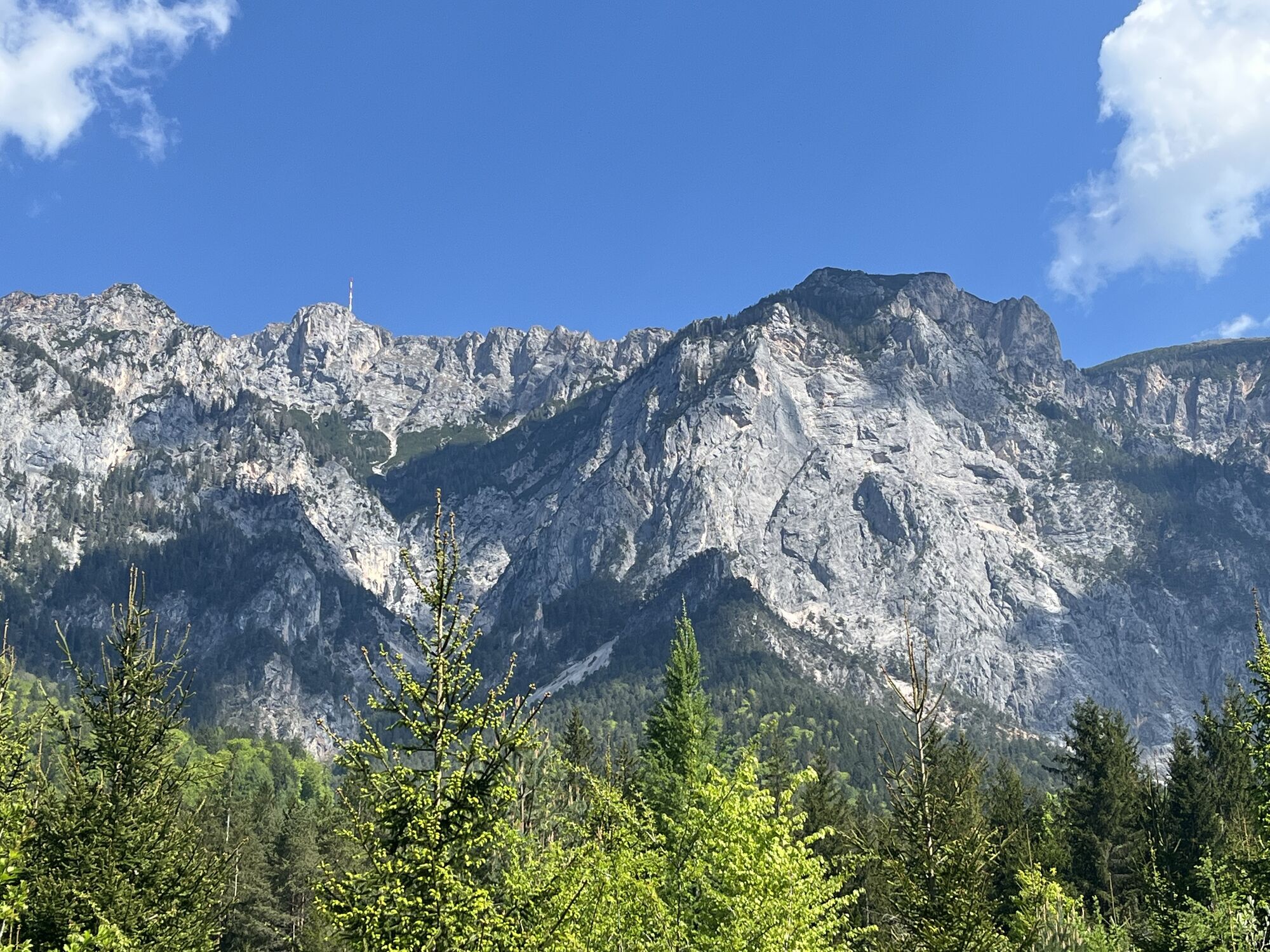
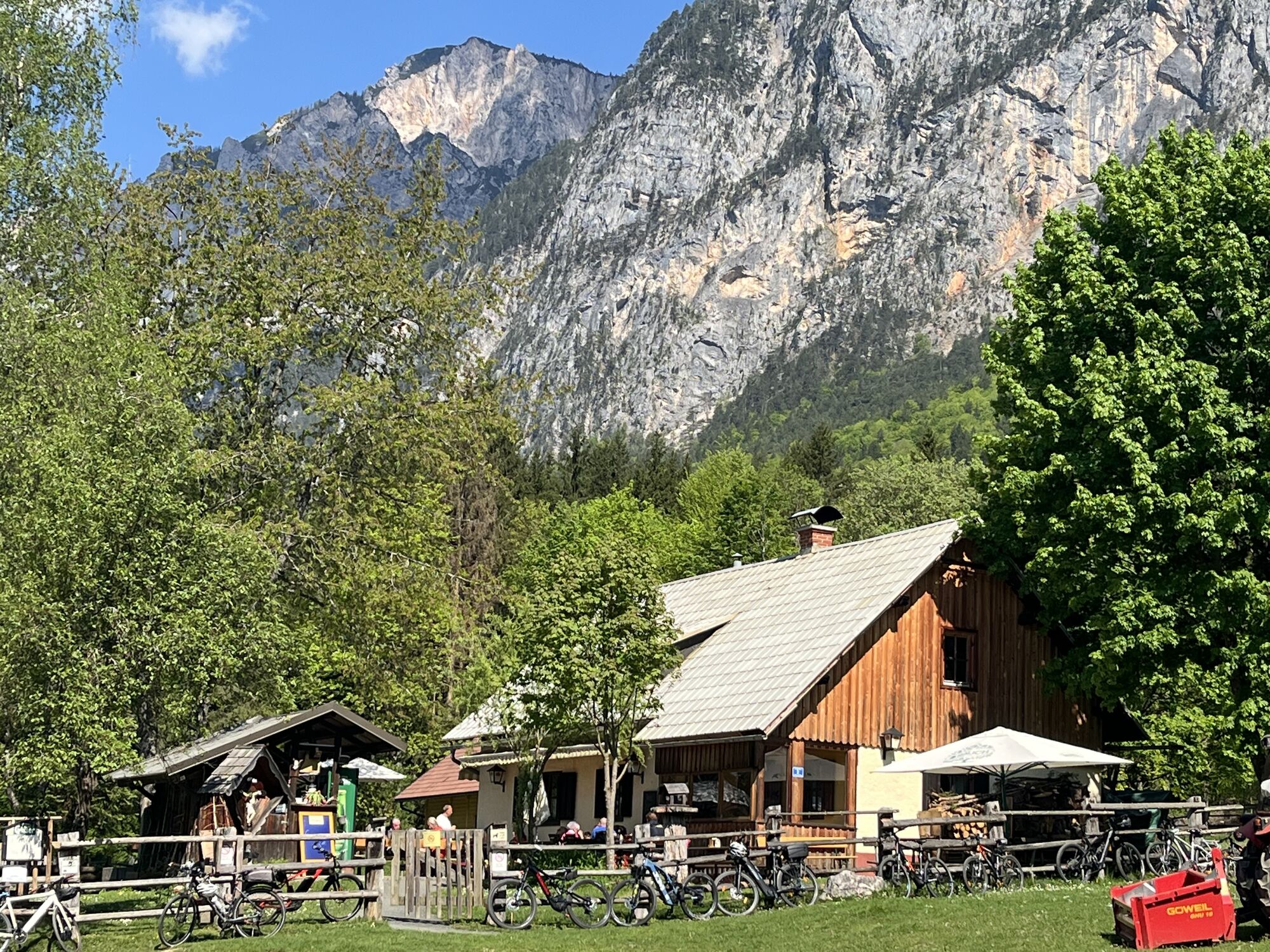
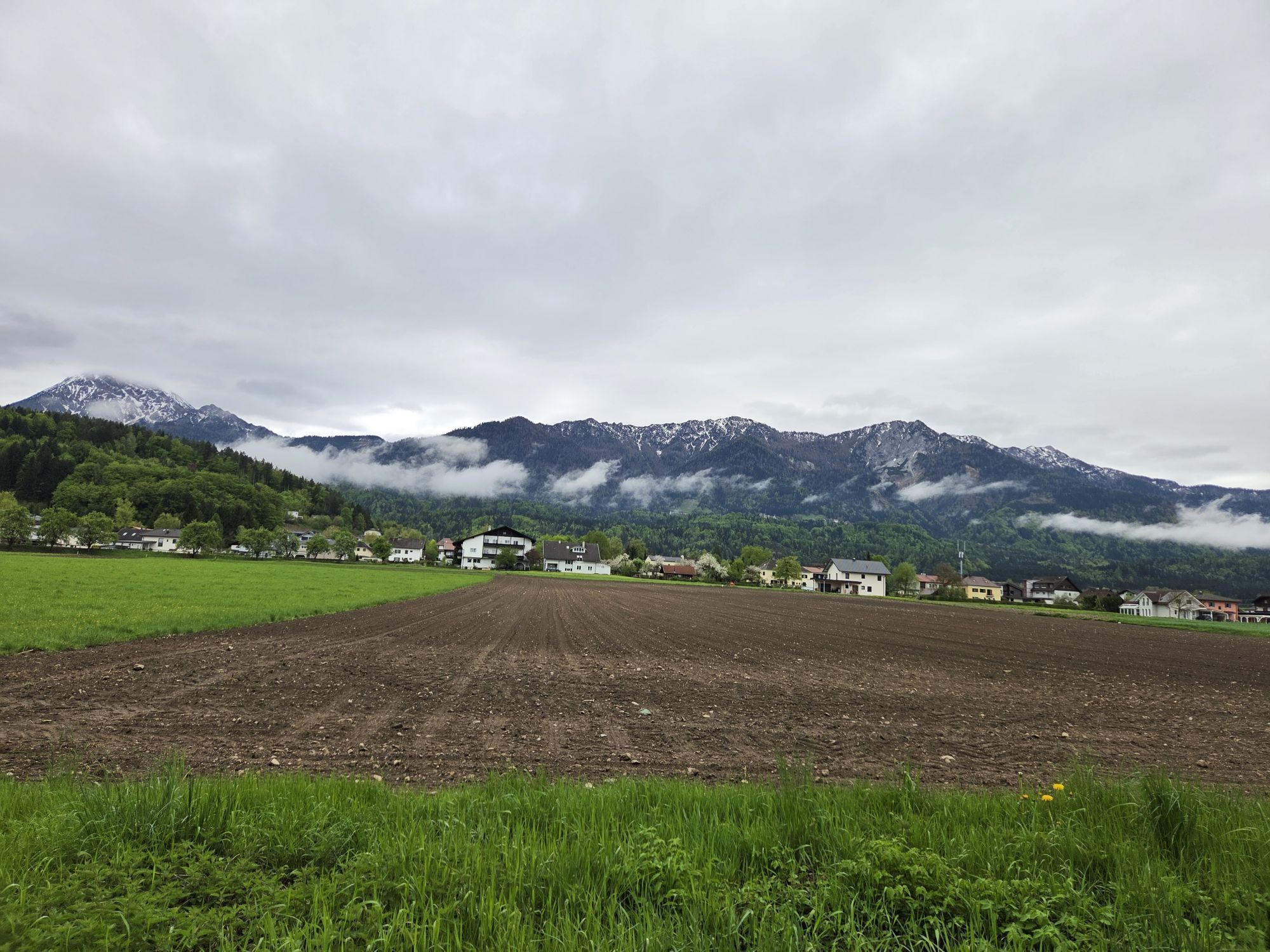
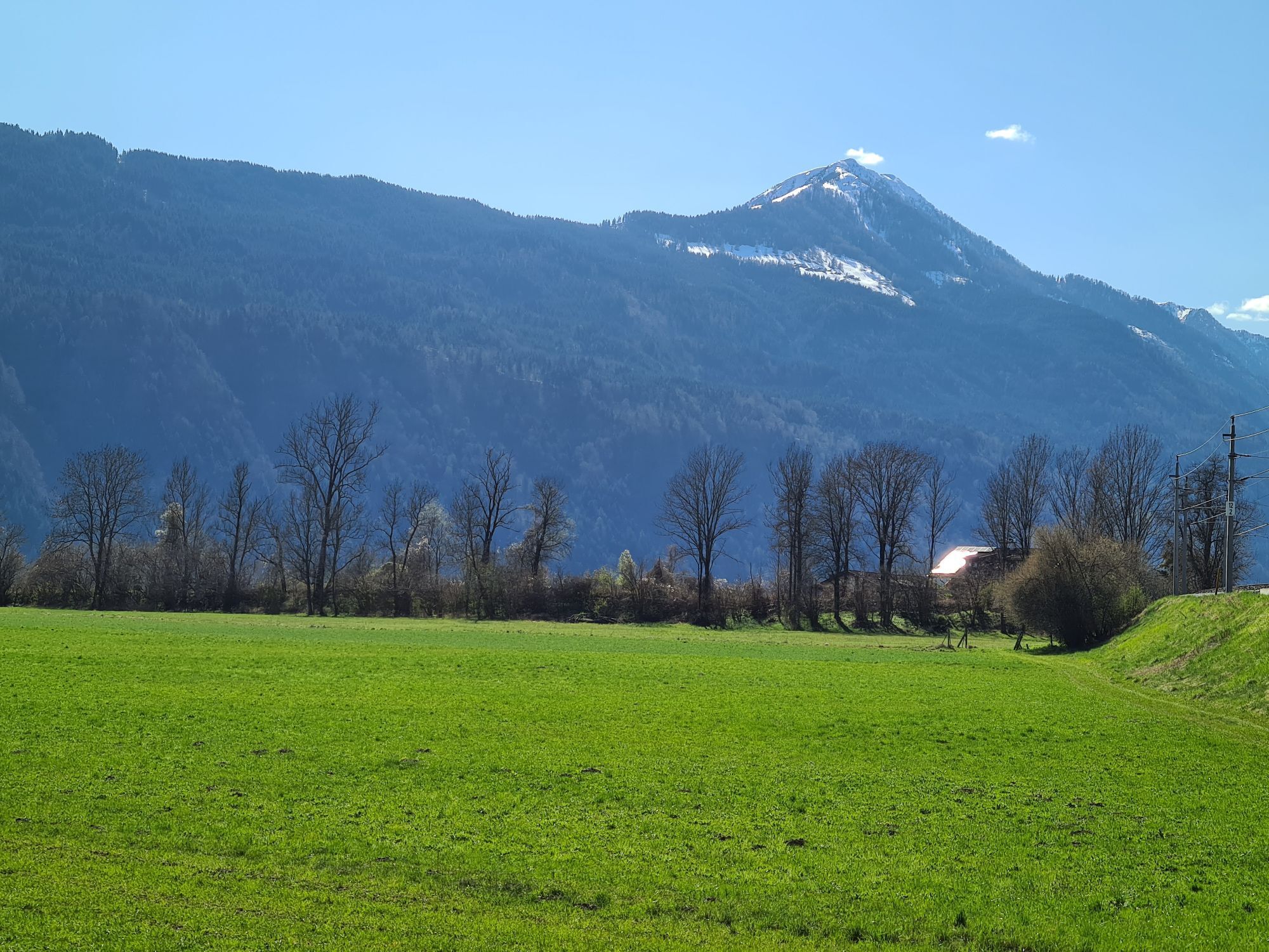
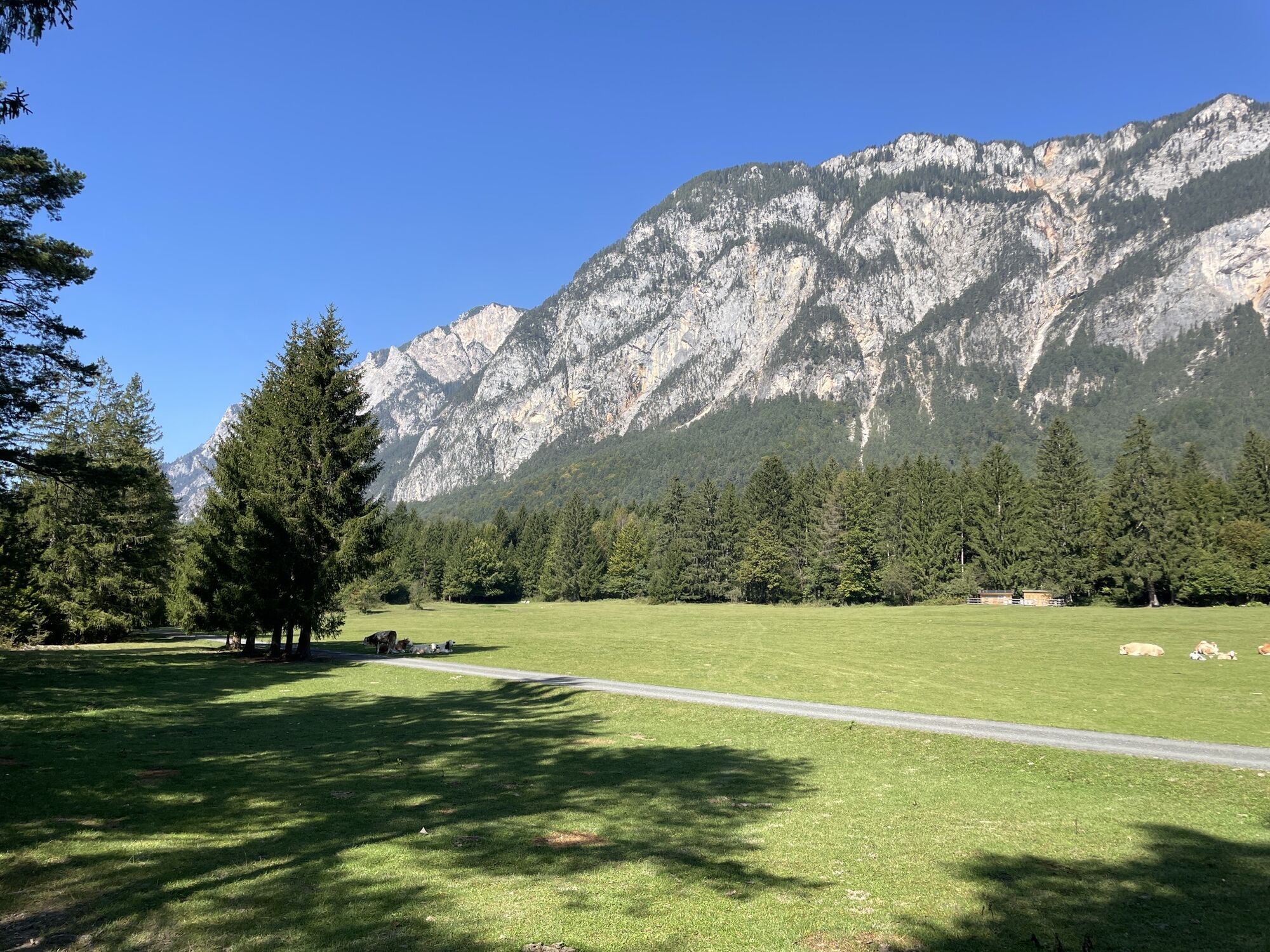
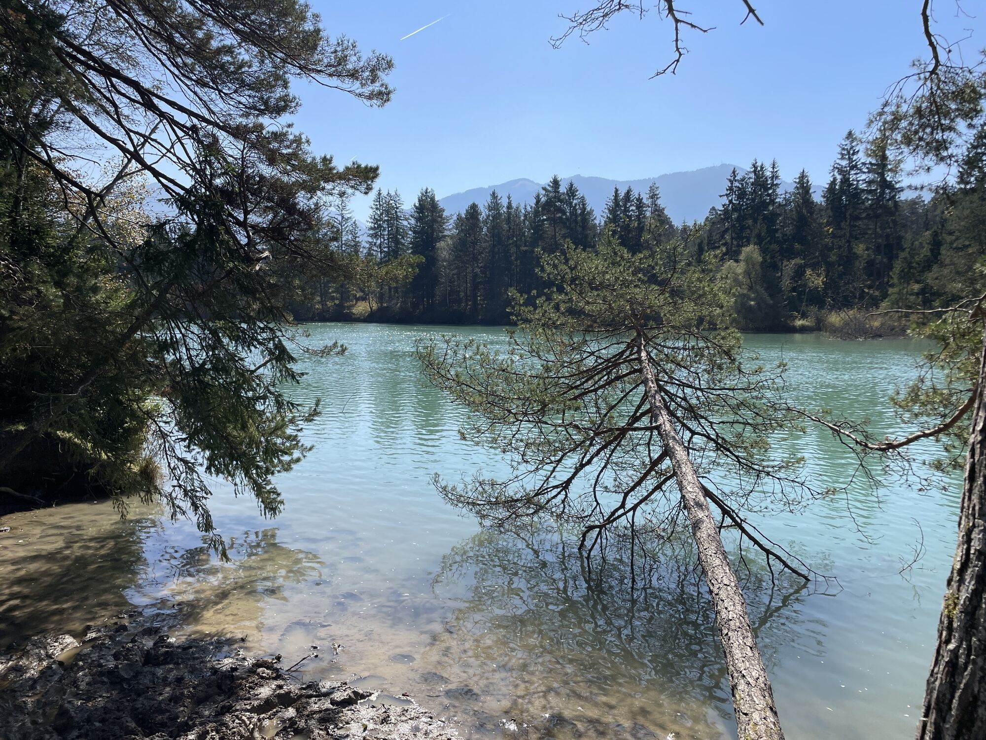
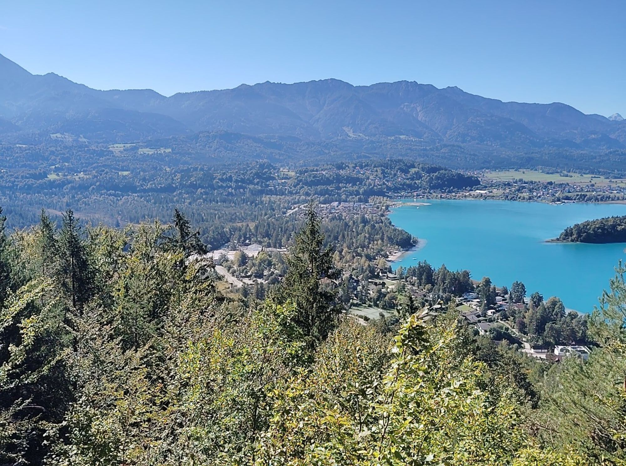
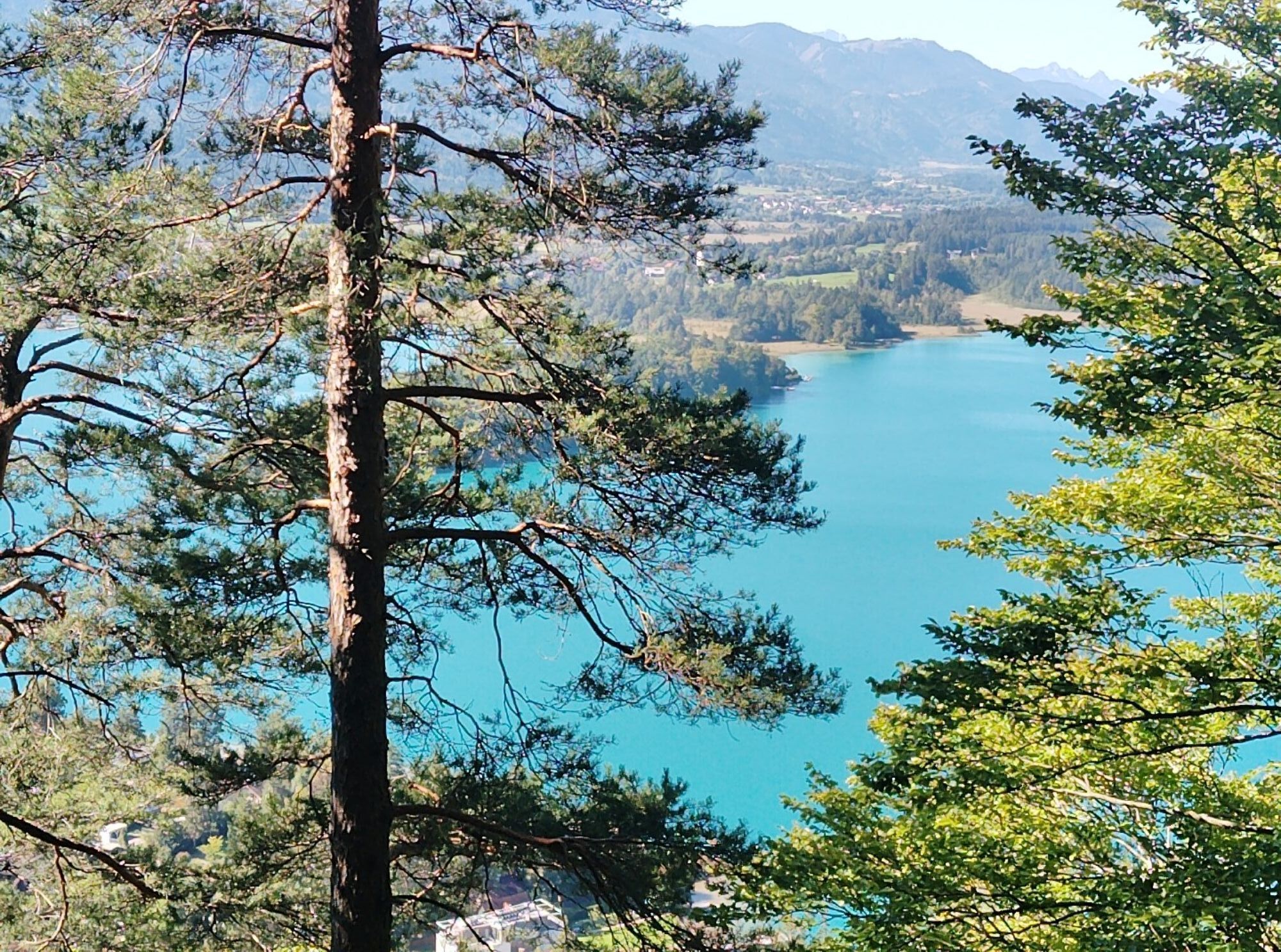
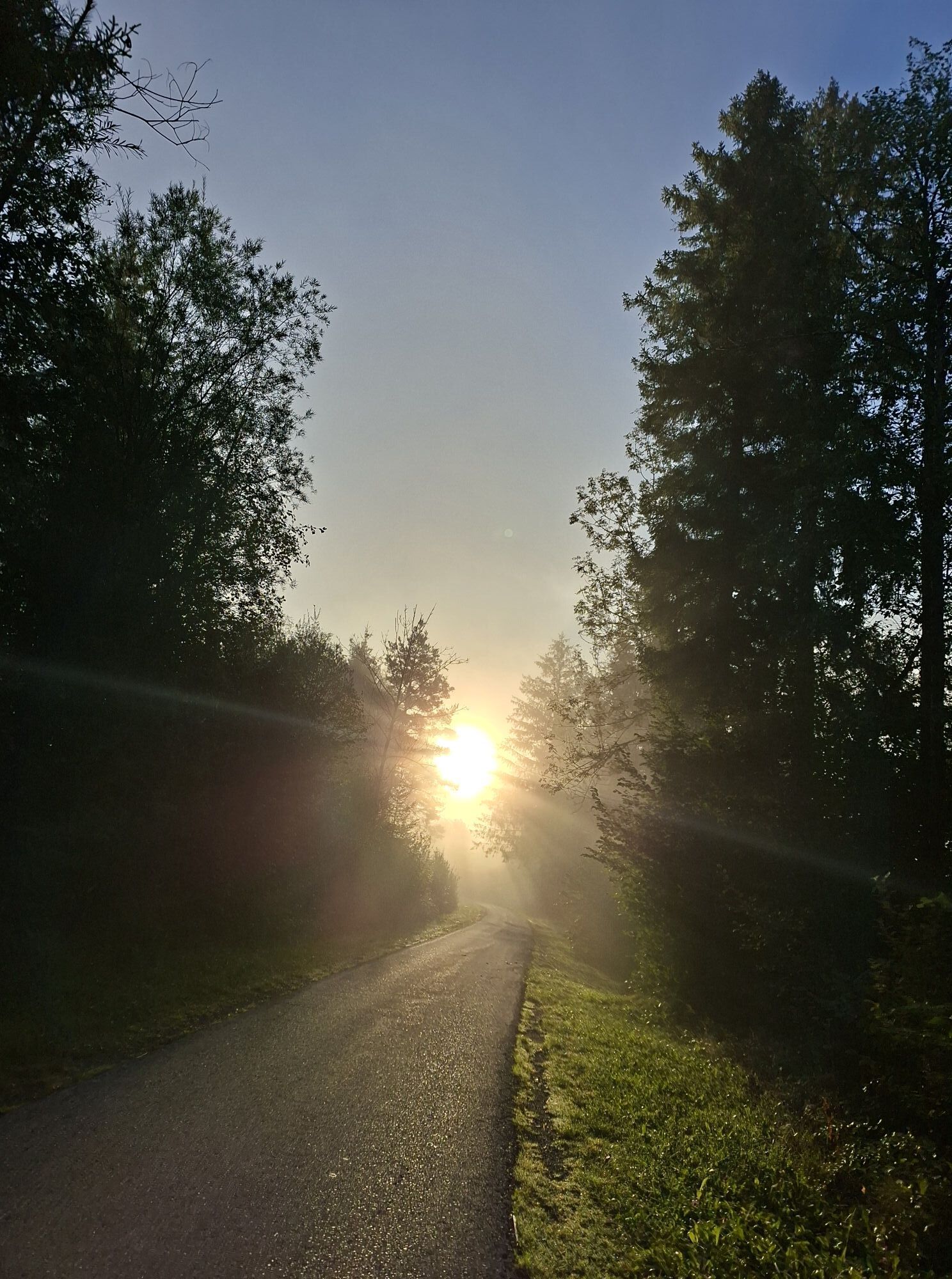
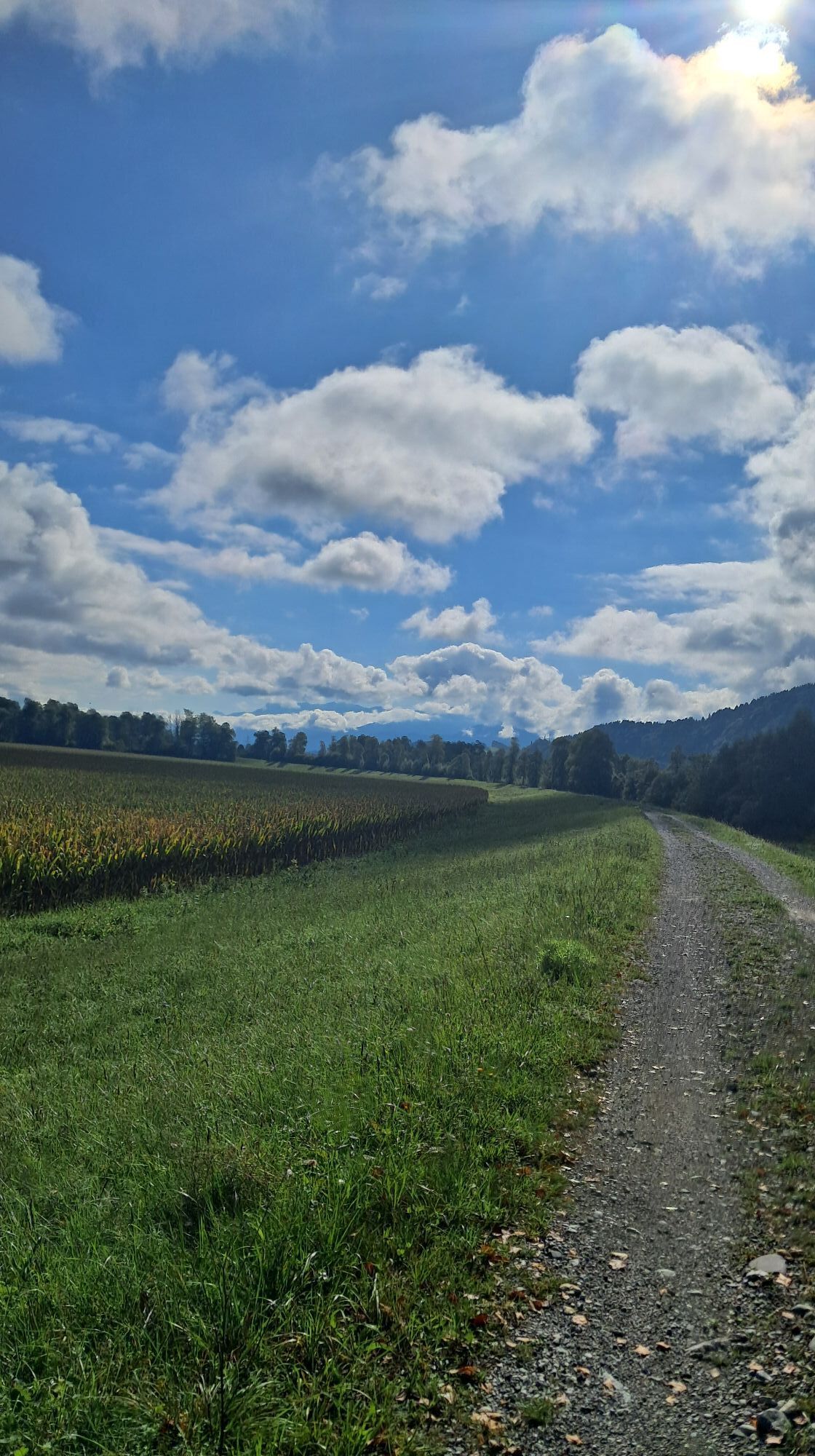
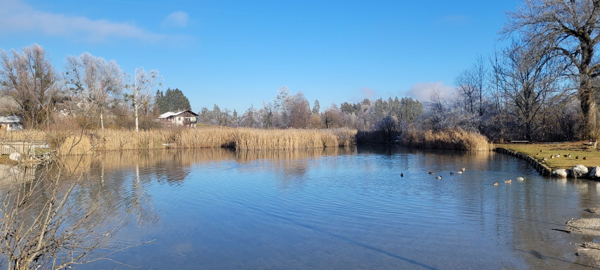
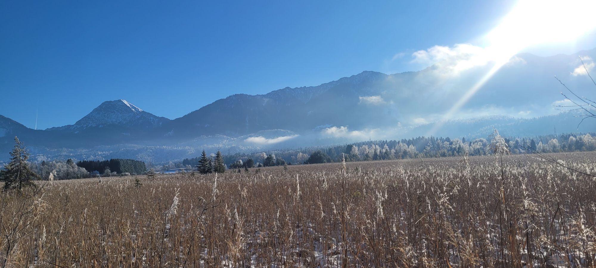
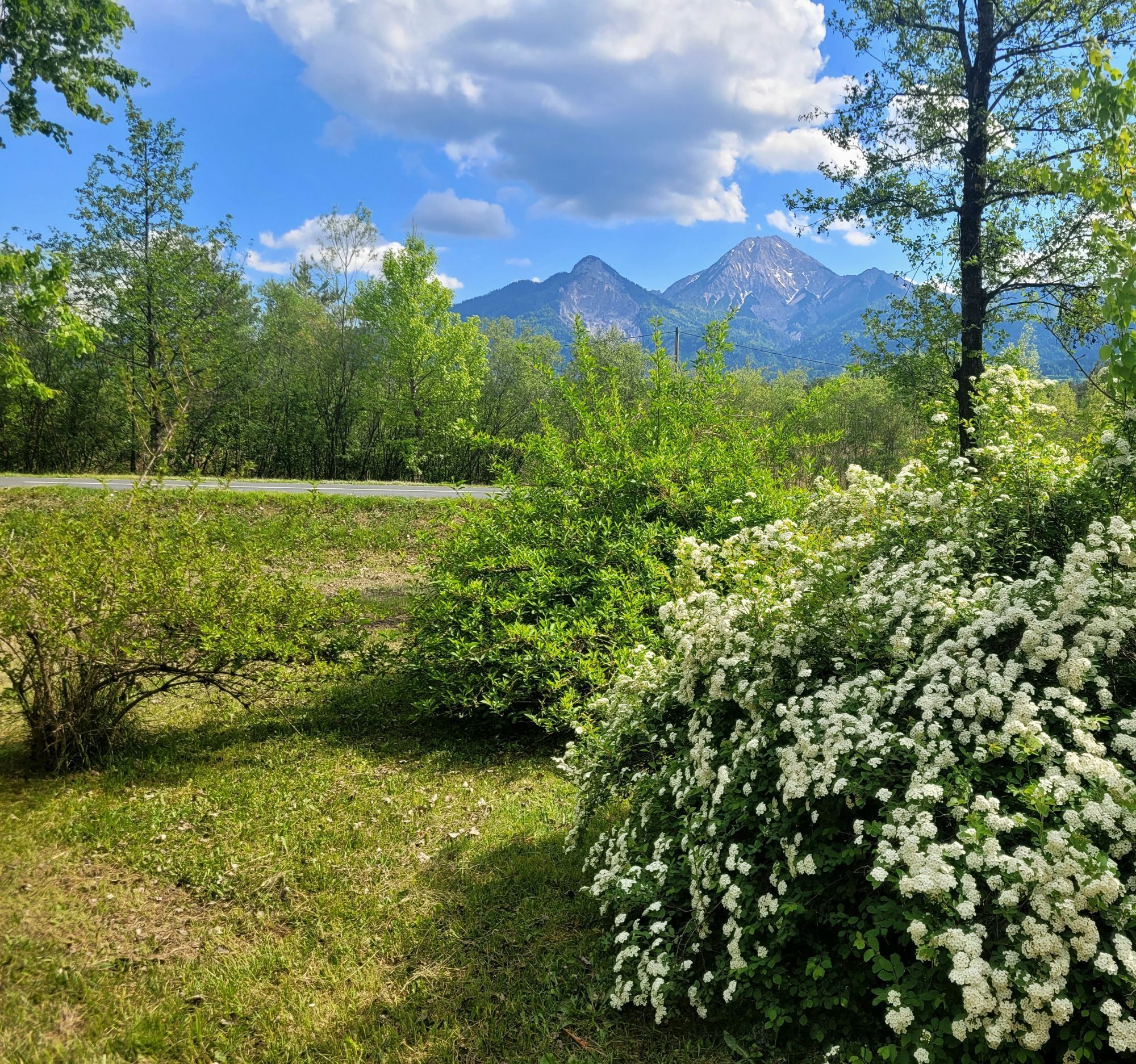
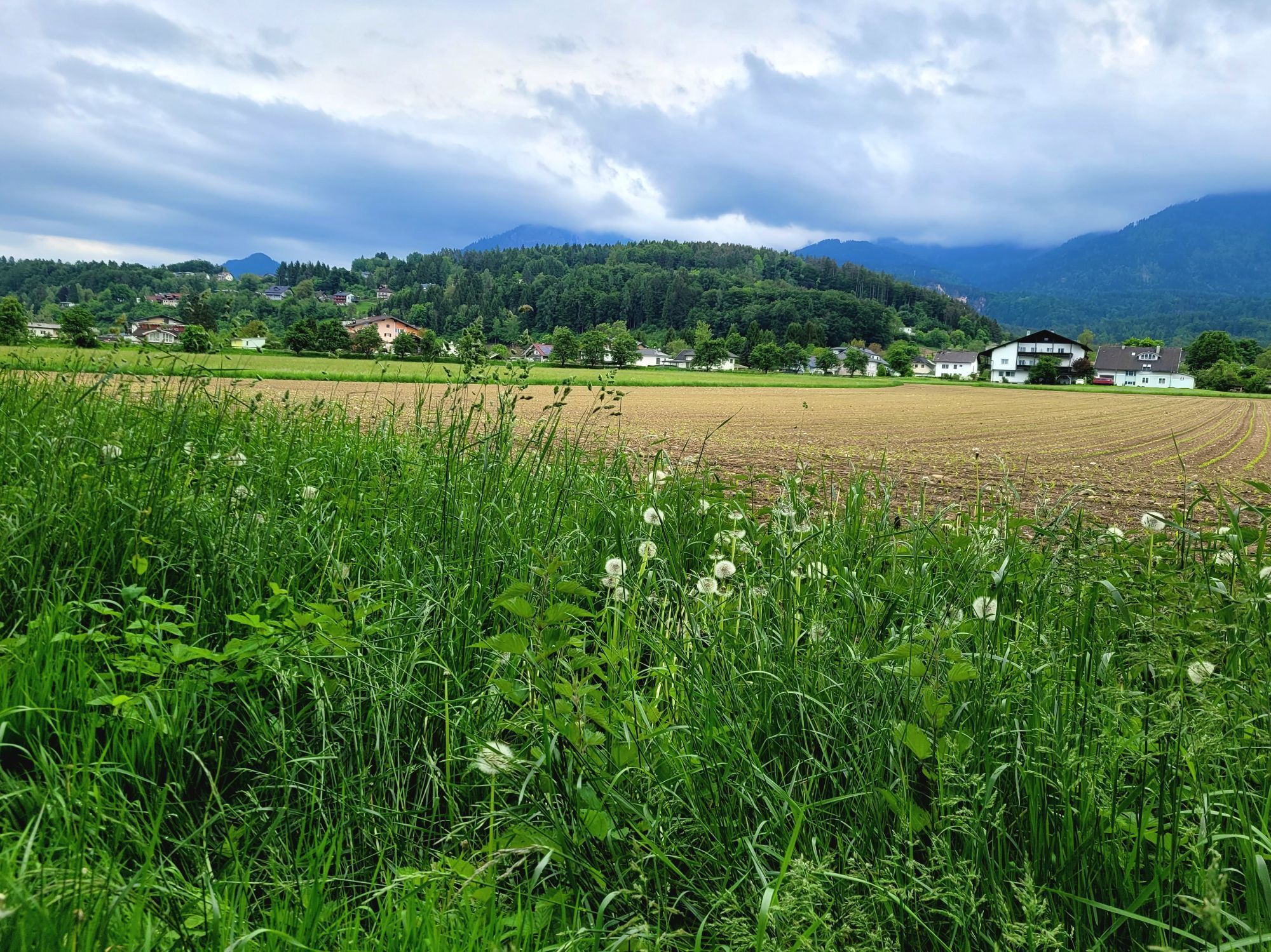
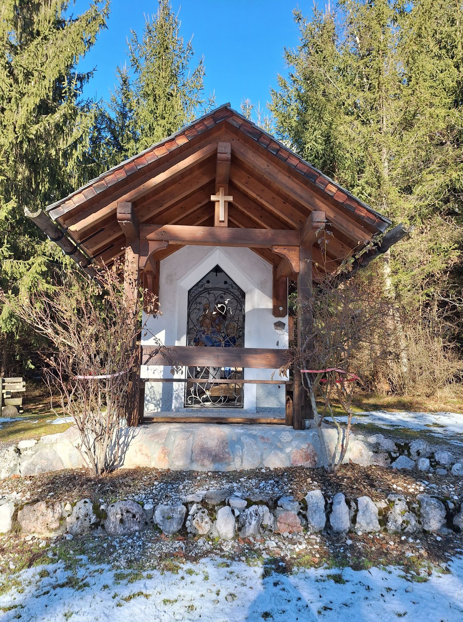
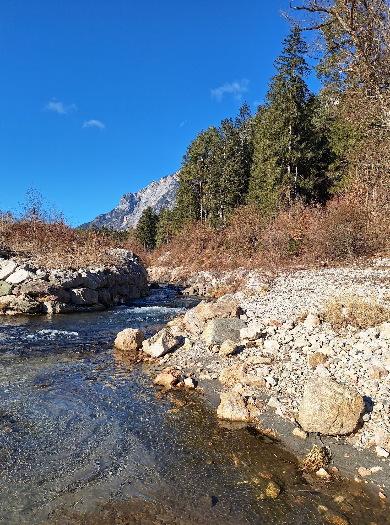
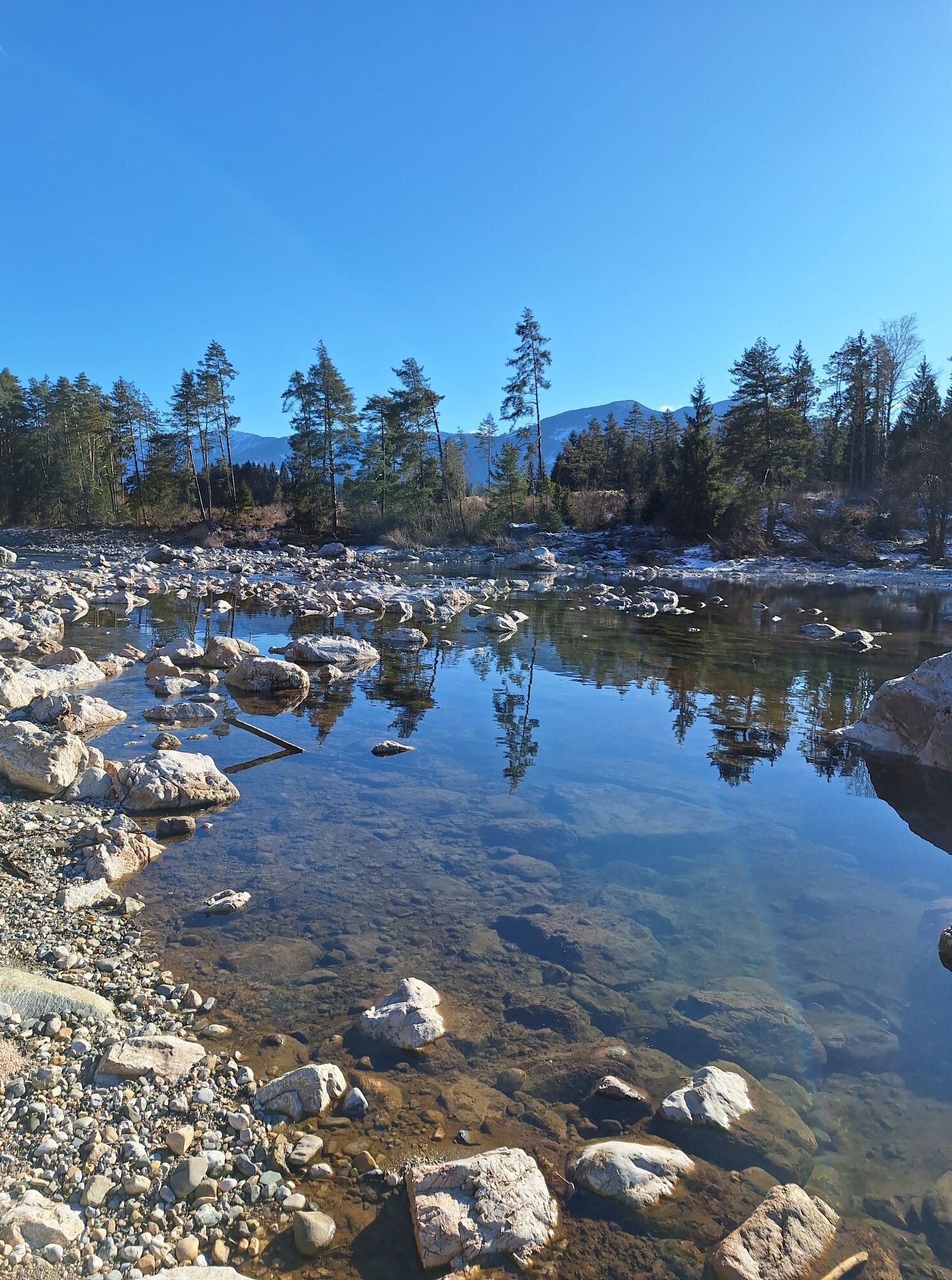
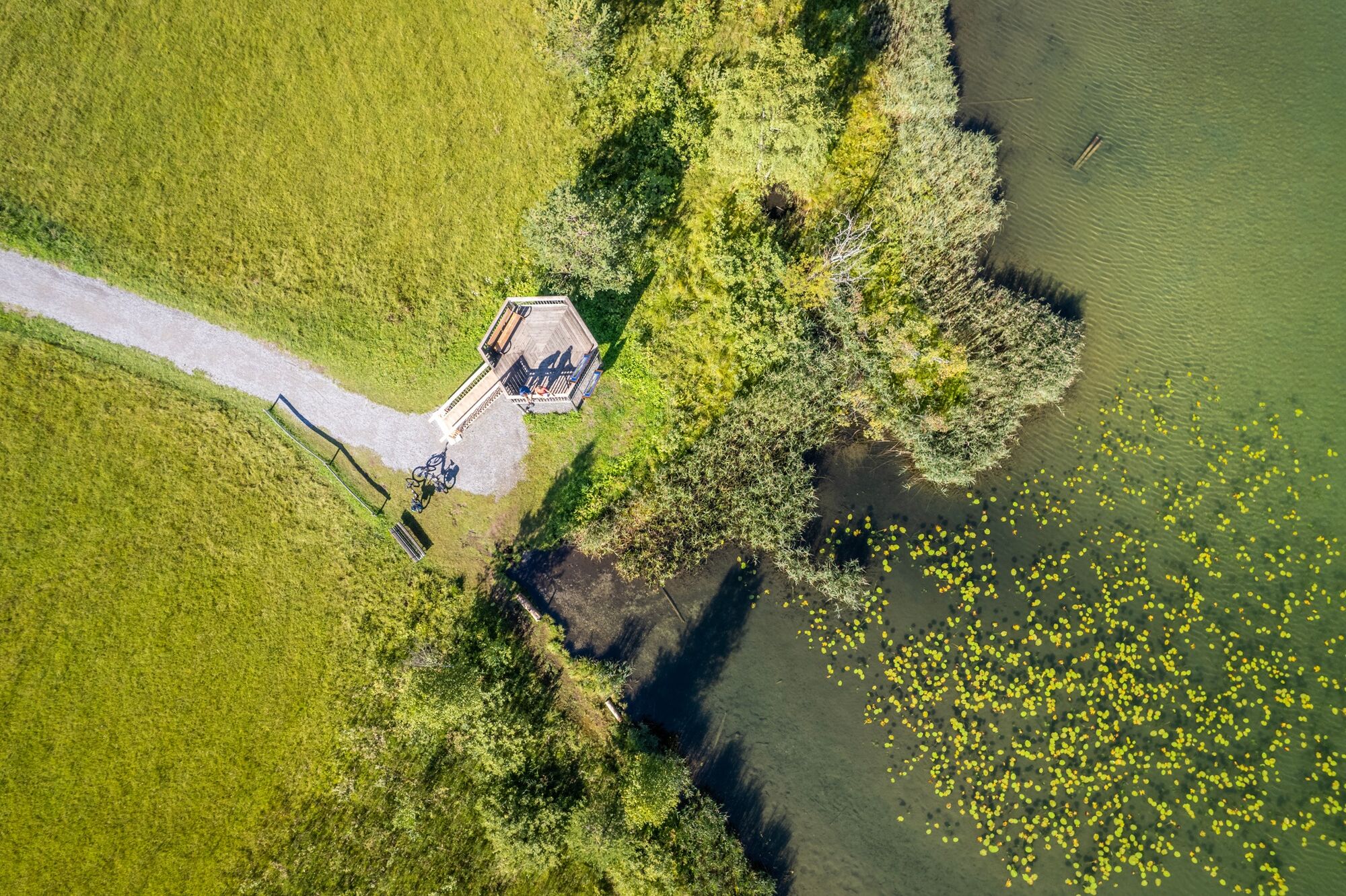
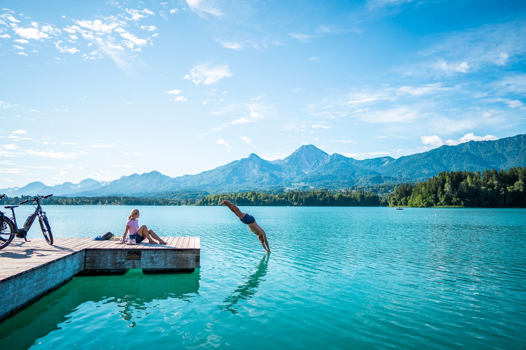
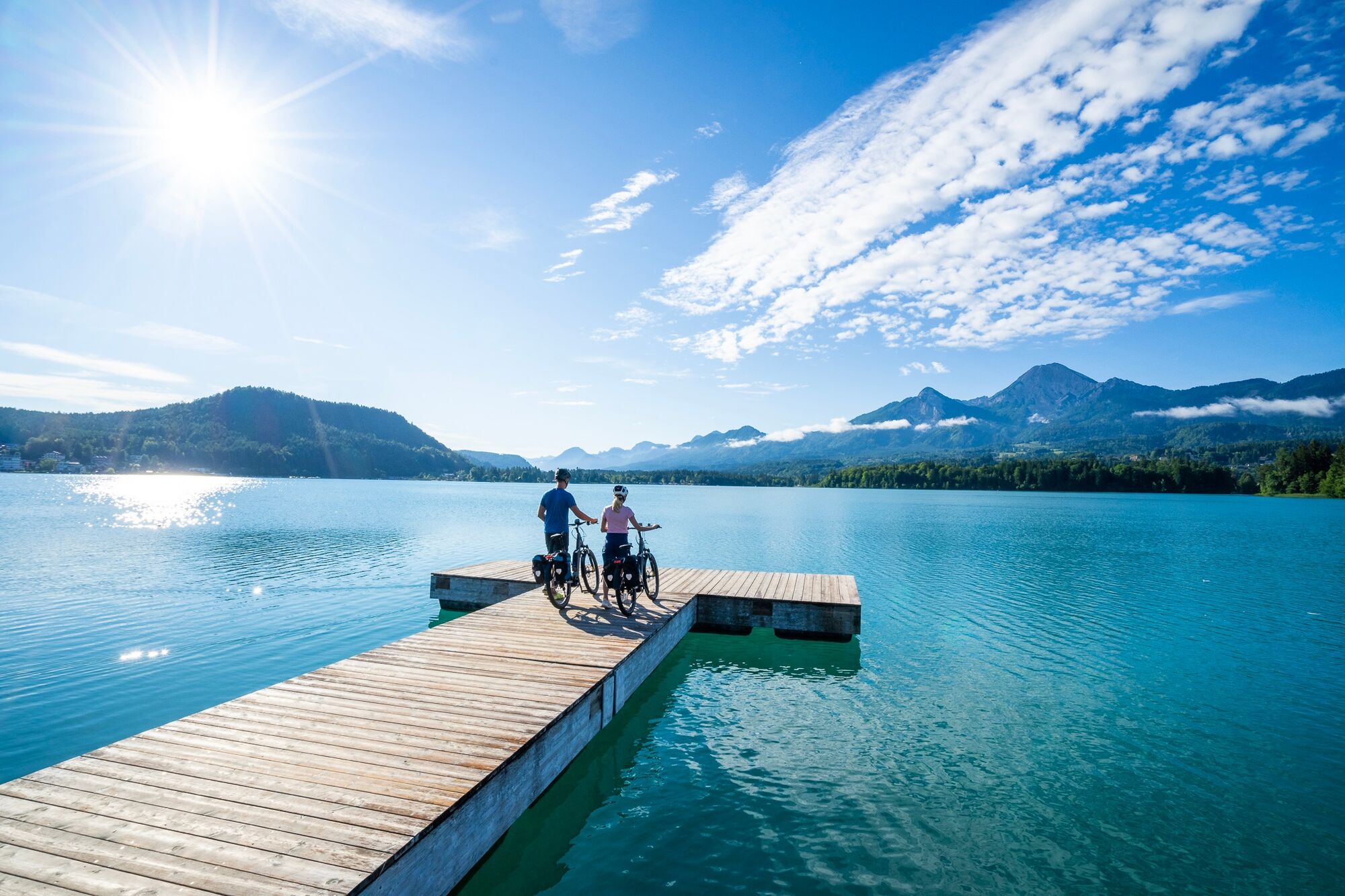
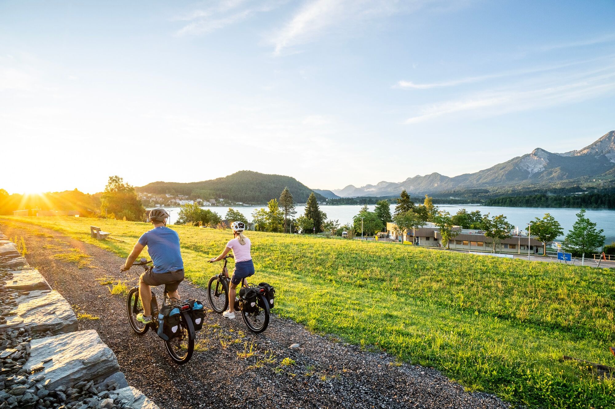
The most uphill stretches of the Carinthian Lake Loop are behind you. Today is a leisurely tour along the Gailtal cycle path on the borders to Italy and Slovenia back towards the east. The crystal clear water of the River Gail murmurs along next to the cycle path, and the views of the striking Dobratsch mountain with its radio tower at the summit are breathtaking. The destination of the day is the turquoise, glistening Lake Faaker See. Initially, the route leads to the southern end with views of the island and its nostalgic hotel, then continues along the eastern shore to Egg am Faaker See.

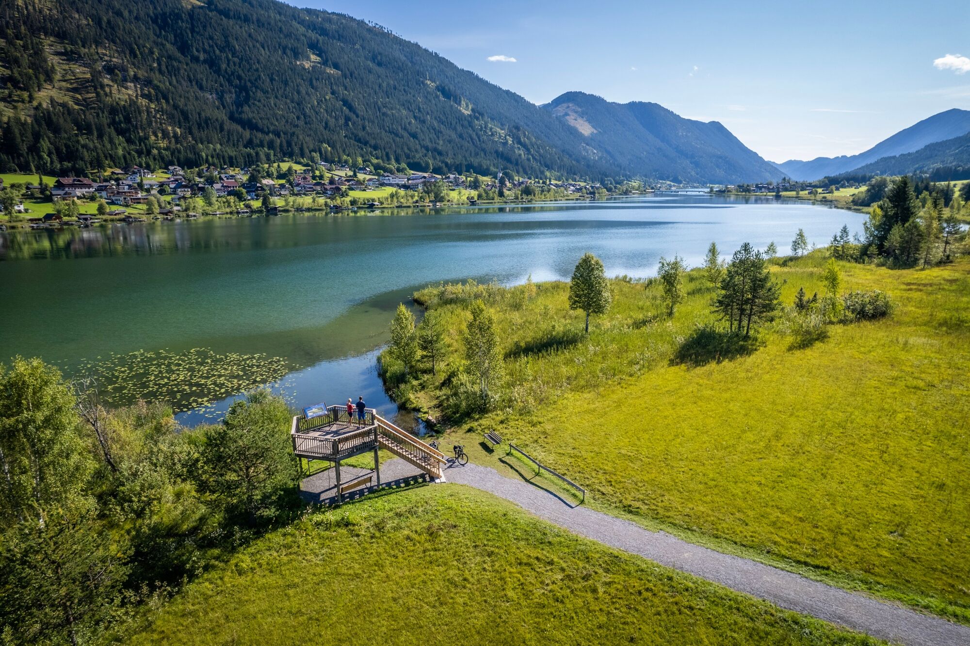
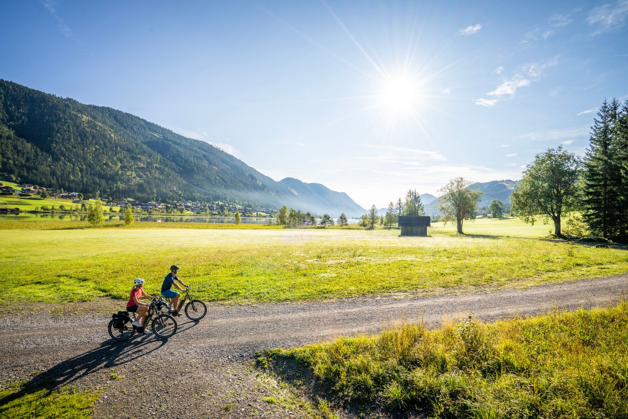
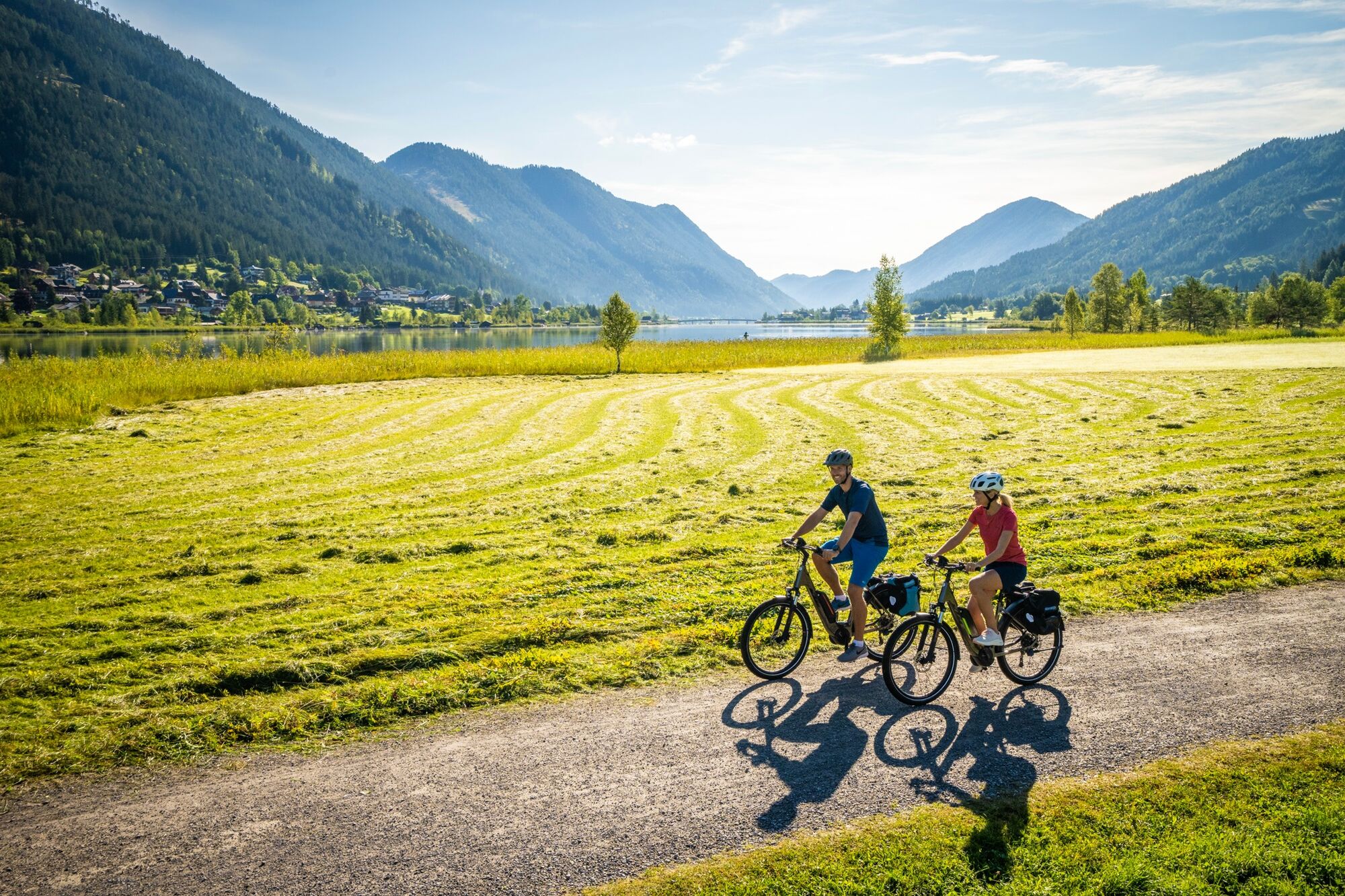

Die meisten Höhenmeter der Kärnten Seen-Schleife sind geschafft. Heute geht es entspannt über den Gailtal-Radweg an der Grenze zu Italien und Slowenien zurück Richtung Osten. Sanft plätschert das glasklare Wasser der Gail neben dem Radweg und der Blick auf den markanten Bergstock Dobratsch mit seinem Sendeturm auf dem Gipfel ist atemberaubend. Das Tagesziel ist der türkis schimmernde Faaker See. Die Route führt zunächst ans Südende mit Blick auf die Insel und ihr nostalgisches Hotel. Dann geht es am Ostufer entlang nach Egg am Faaker See.
Detailbeschreibung Radwege: R3A bis Görtschach, dort auf den R3 bis Müllnern, in Müllnern über die Gail Ri Süden und auf den R1C wechseln, diesem bis Faak am See folgen.
Sehens- und Erlebenswertes in der Nähe:
Der Zitrusgarten mit rund 280 verschiedenen Zitrusgewächsen in Faak am See (Kombination aus botanischem Garten und Bio-Betrieb)
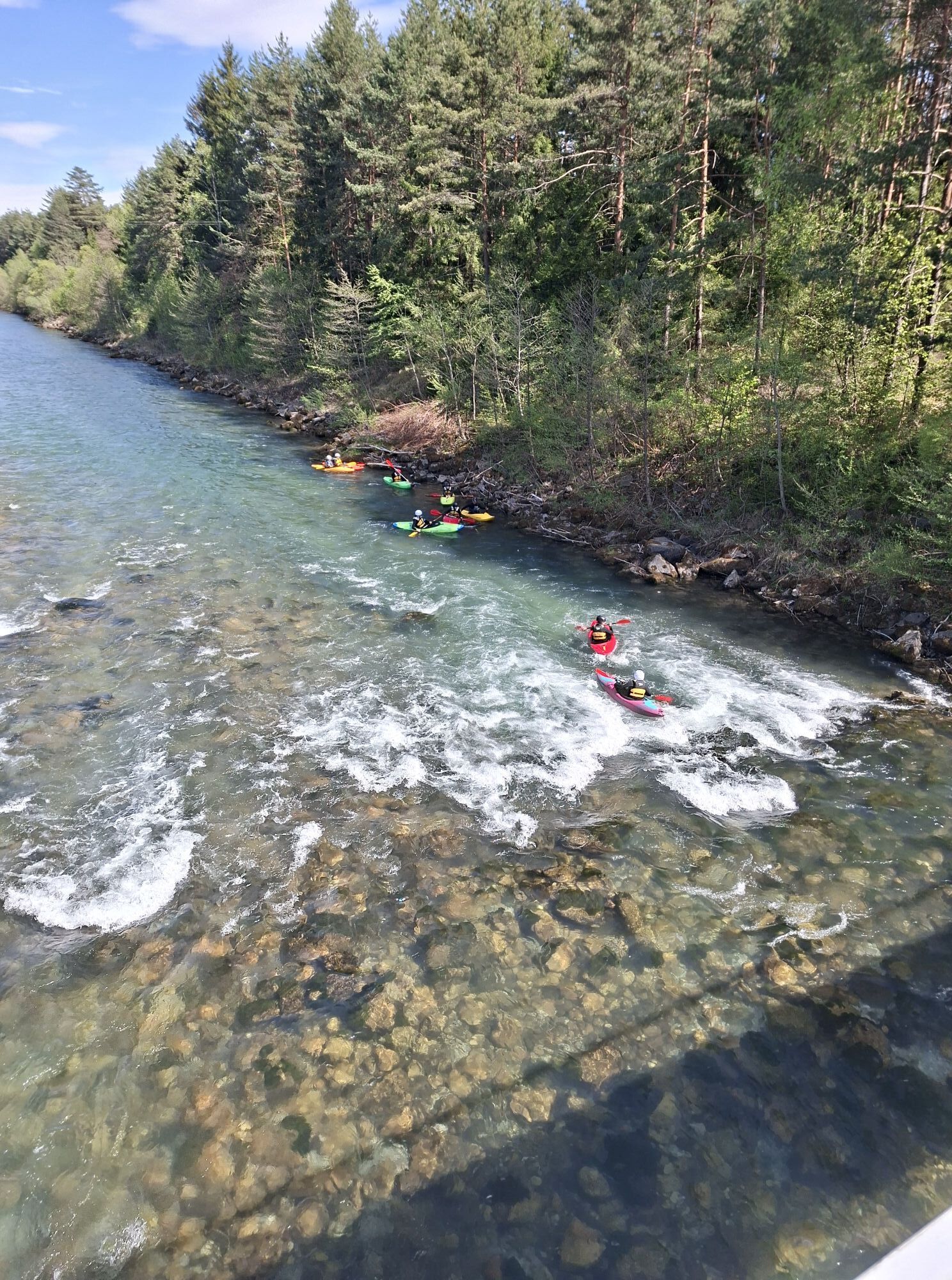
Kanutour Indian-Spirit durch den Schilfgürtel am Faaker See
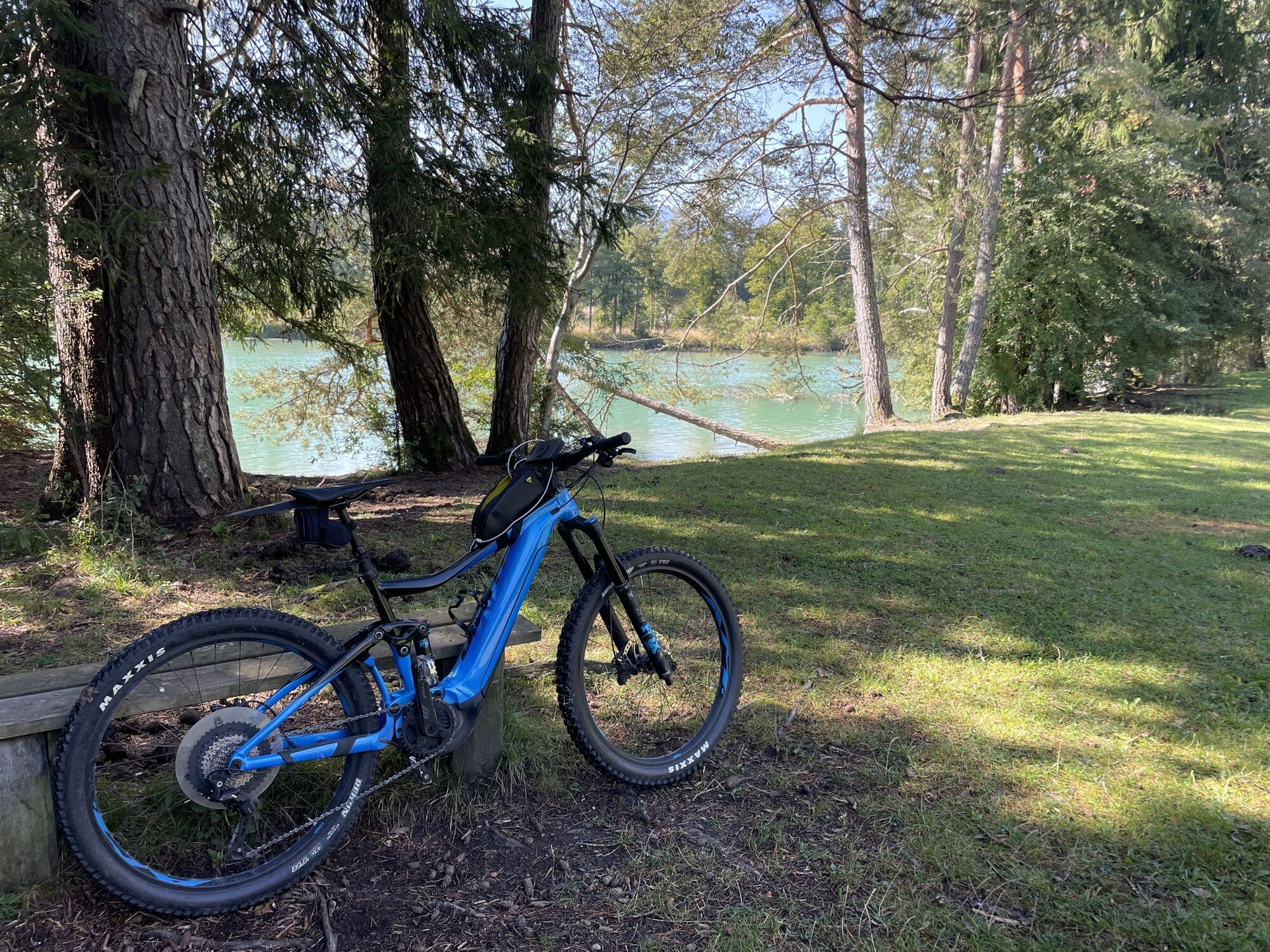
Trekkingrad, MTB sind die idealen Räder für diese Tour
Größtenteils führt die Kärnten Seen-Schleife über eingeständige Radwege bzw. wenig bafahrene Gemeindestrassen.
Einige Abschnitte müssen aber auf Grund eines fehlenden Radweges auf Bundesstrassen zurückgelegt werden!! Achtung auf diesen Abschnitten
Auto
von Norden (Salzburg) kommend über die A10 und A2
von Osten (Wien): über die A2
von Süden (Ljubljana): über A11 und Karawankentunnel
von Süden (Italien): über A2
mit Bahn und Bus erreichbar
Bahn: www.oebb.at
Bahnhofsshuttle: https://www.bahnhofshuttle.at/de
Flug: http://klagenfurt-airport.at
Auto:
von Norden (Salzburg) kommend über die A10 und A2
von Osten (Wien): über die A2
von Süden (Ljubljana): über A11 und Karawankentunnel
von Süden (Italien): über A2
Parkmöglichkeiten erfahren Sie beim örtlichen Tourismusbüro
Things to see and do nearby:
• The citrus garden with around 280 different citrus plants in Faak am See (combination of botanical garden and organic farm)
• Indian Spirit canoe tour through the reeds of Lake Faaker See
Kamery internetowe z trasy
-
Hermagor - Presseggersee
-
Faaker See
-
Faaker See
-
Faaker See
-
Faaker See
-
Faaker See
-
Faaker See
-
Dobratsch
-
Dobratsch
-
Hermagor - Presseggersee
-
Dobratsch
-
Dreiländereck
-
Strandbad Hermagor / Pressegger See
-
Antonischacht - Bad Bleiberg
-
Burgruine Finkenstein
-
Fledermaushaus
-
Faaker See / Grüner Heinrich
-
EuroParcs Hermagor · Nassfeld
-
Villacher Alpenstraße - Rosstratte
-
Villacher Alpenstraße
-
Villacher Alpenstraße
-
Faaker See / Haus am See
-
Apartments De Luxe Schluga / Schluga Strand
-
Panorama.Berg.Restaurant Drei.Länder.Eck
-
Wurzenpass

Popularne wycieczki w okolicy
-
4,5
Auf den Dobratsch mit der ganzen Familie
Wędrówka 8,40 km -
4,7
Jeziora Fusine
światłoWędrówka 5,43 km -
4,9
Orrido dello Slizza, Tarvisio, Italië
światłoWędrówka 2,65 km -
4,5
Mallestiger Mittagskogel
średniWędrówka 8,17 km -
4,2
Schwarzsee circular hiking trail
średniWędrówka 7,79 km -
4,7
Baumgtn. Höhe, Mallestiger Mittags- und Schwarzkogel
ciężkiWędrówka zimą 10,7 km -
4,6
Weißenfelser Seen: Fusine in Valromana - Ai Sette Nani - Seealm
średniWędrówka 10,3 km -
4,6
Gailtaler Alpen: Wanderung auf der Dobratsch
średniWędrówka 8,50 km -
4,3
Zacchi Wanderung Rundweg
światłoWędrówka 8,85 km -
4,6
Mallestiger Mittagskogel
średniWędrówka 11,6 km
Wędrówki i tropienie


Nie przegap ofert i inspiracji na następne wakacje
Twój adres e-mail została dodana do listy mailingowej.





