






Fish path-heart path Svibnik

Poziom trudności: T1
The trail is easy, with few ascents and descents and mainly runs through the forest. The trail is circular, starting and ending in the village of Svibnik at the Panda bar. The trail is known as the Ribja...
The trail is easy, with few ascents and descents and mainly runs through the forest. The trail is circular, starting and ending in the village of Svibnik at the Panda bar. The trail is known as the Ribja pot, which runs along the fishing area of the Dobličica stream and is also included in the recreational trails of the Črnomelj destination. The trail is currently marked with yellow, wooden fish. At the beginning, there is an information board by the bar with a short description and a marked route of the trail. The Črnomelj Coronary Patients Association has also recognized the trail as an ideal opportunity for improving health, physical and mental fitness as a prevention or recovery from illness. The trail runs towards the village of Jelševnik through the forest. There are marked points for additional exercise along the trail, which are also marked with encouraging signs related to health and well-being. The trail turns just before the pond and the Zupančič farm, where the natural habitat of the Black Marsh Marsh - the black manatee - is. The route back leads along a macadam road along the edge of the forest and along the edge of the largest solar power plant in Bela Krajina to the starting point.

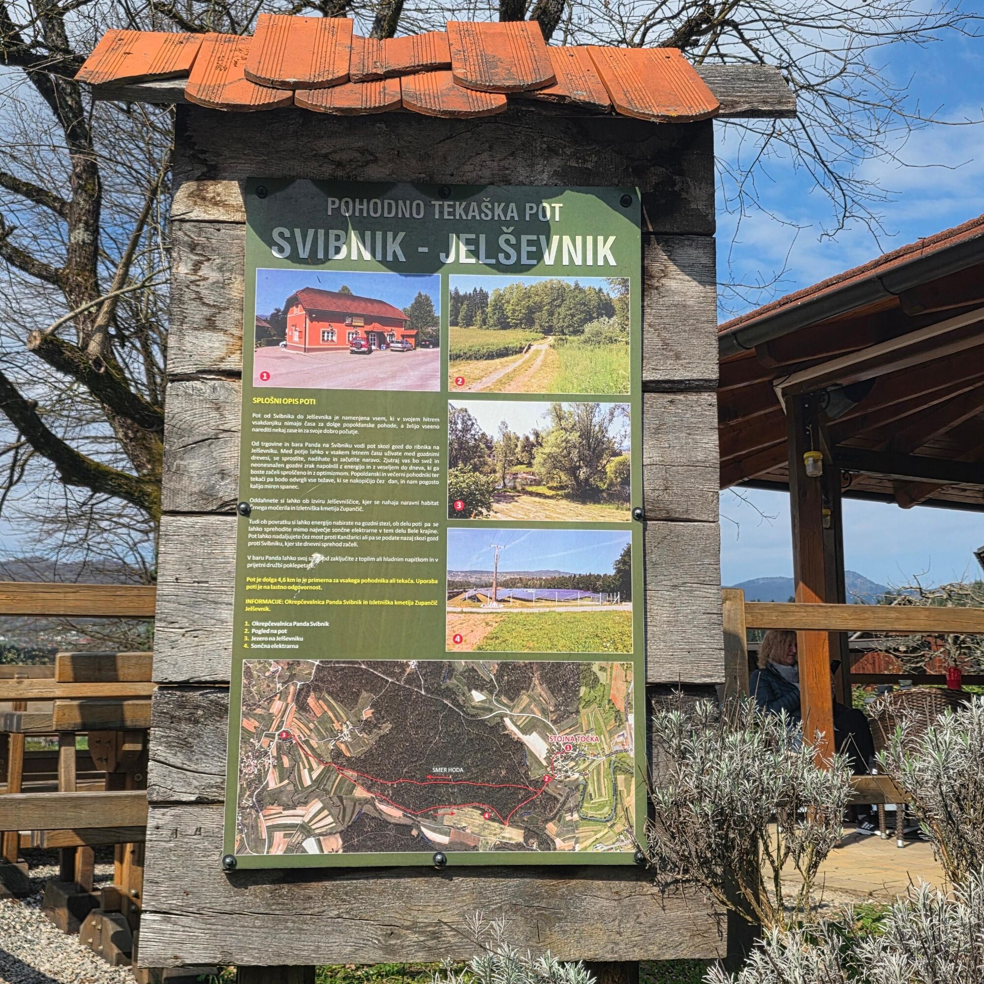
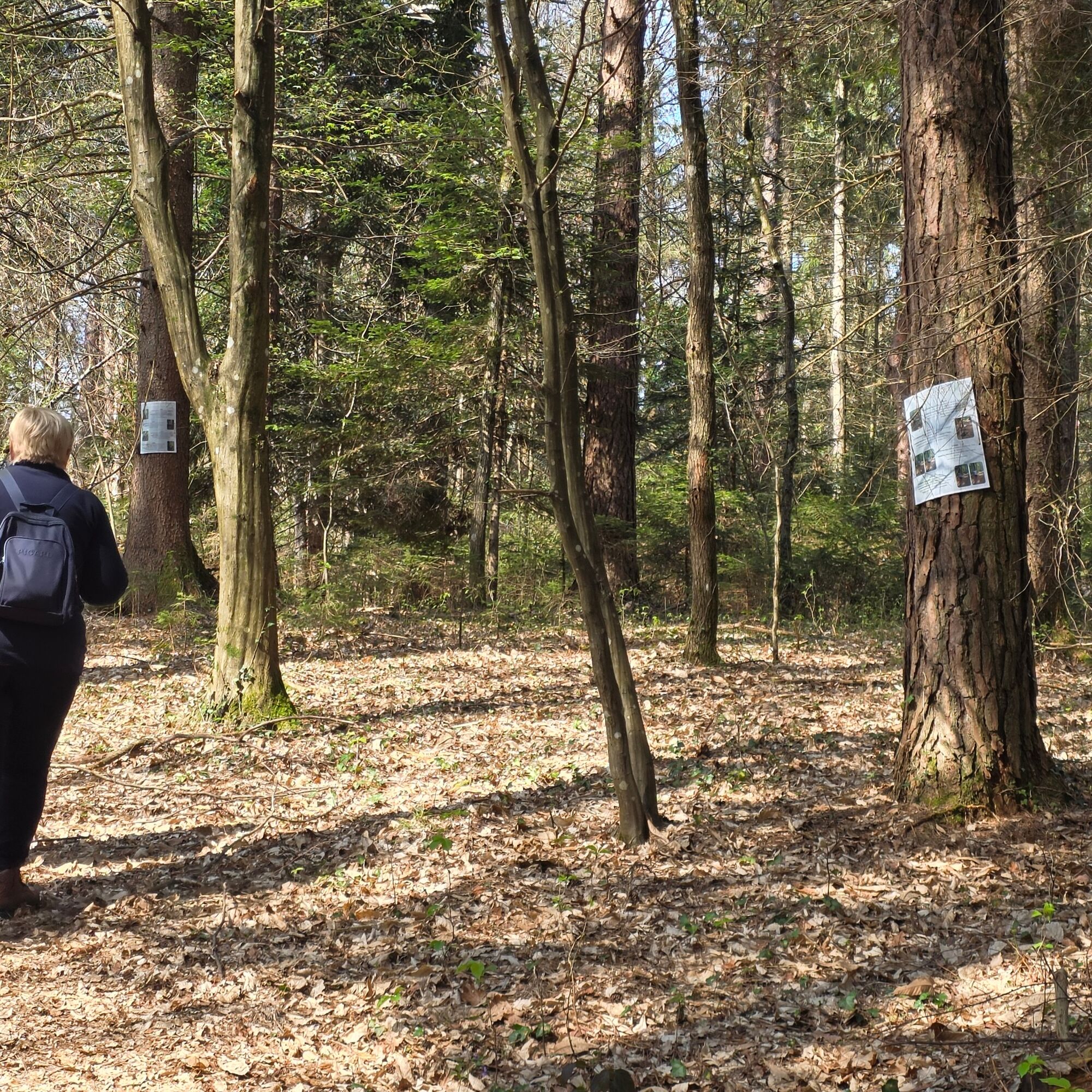
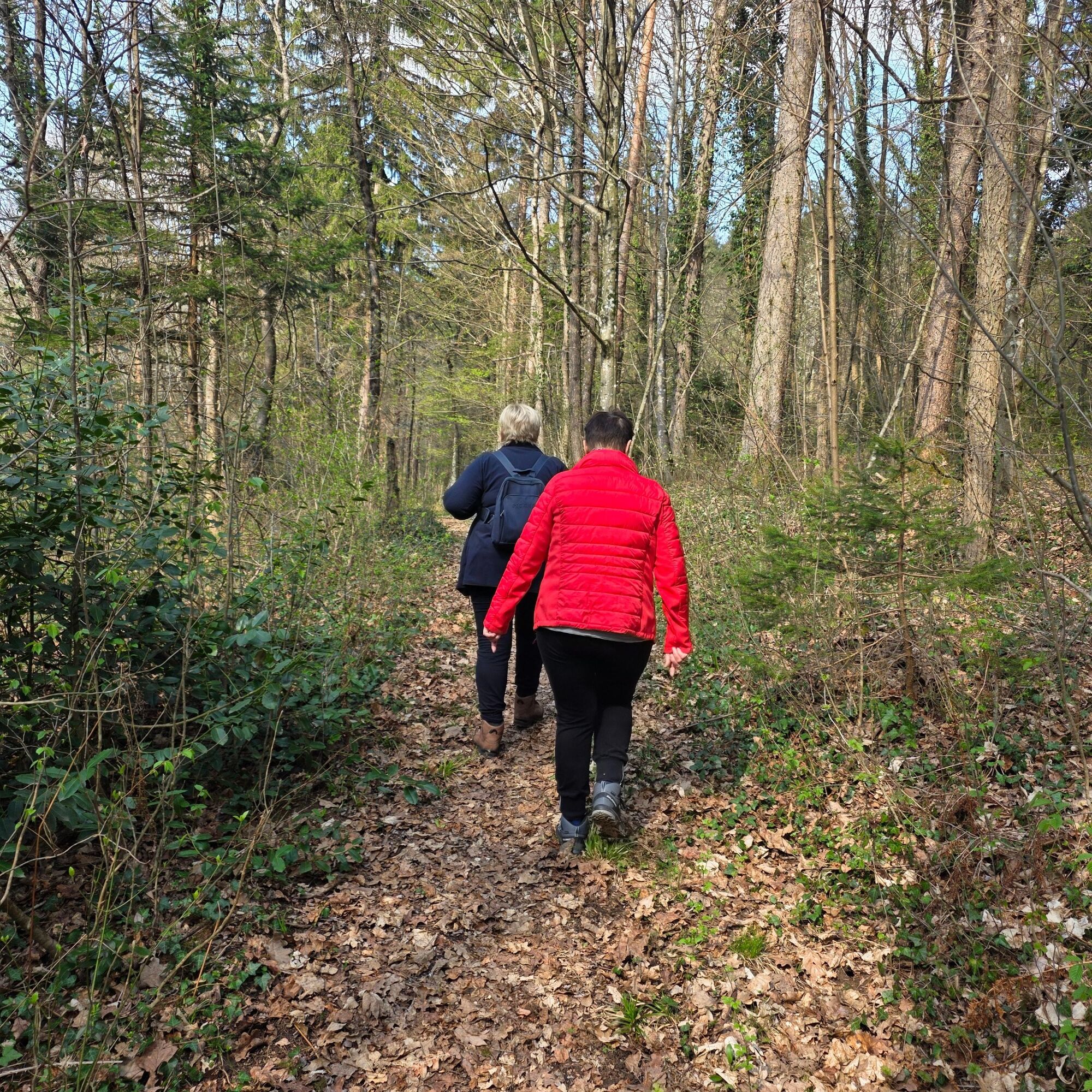
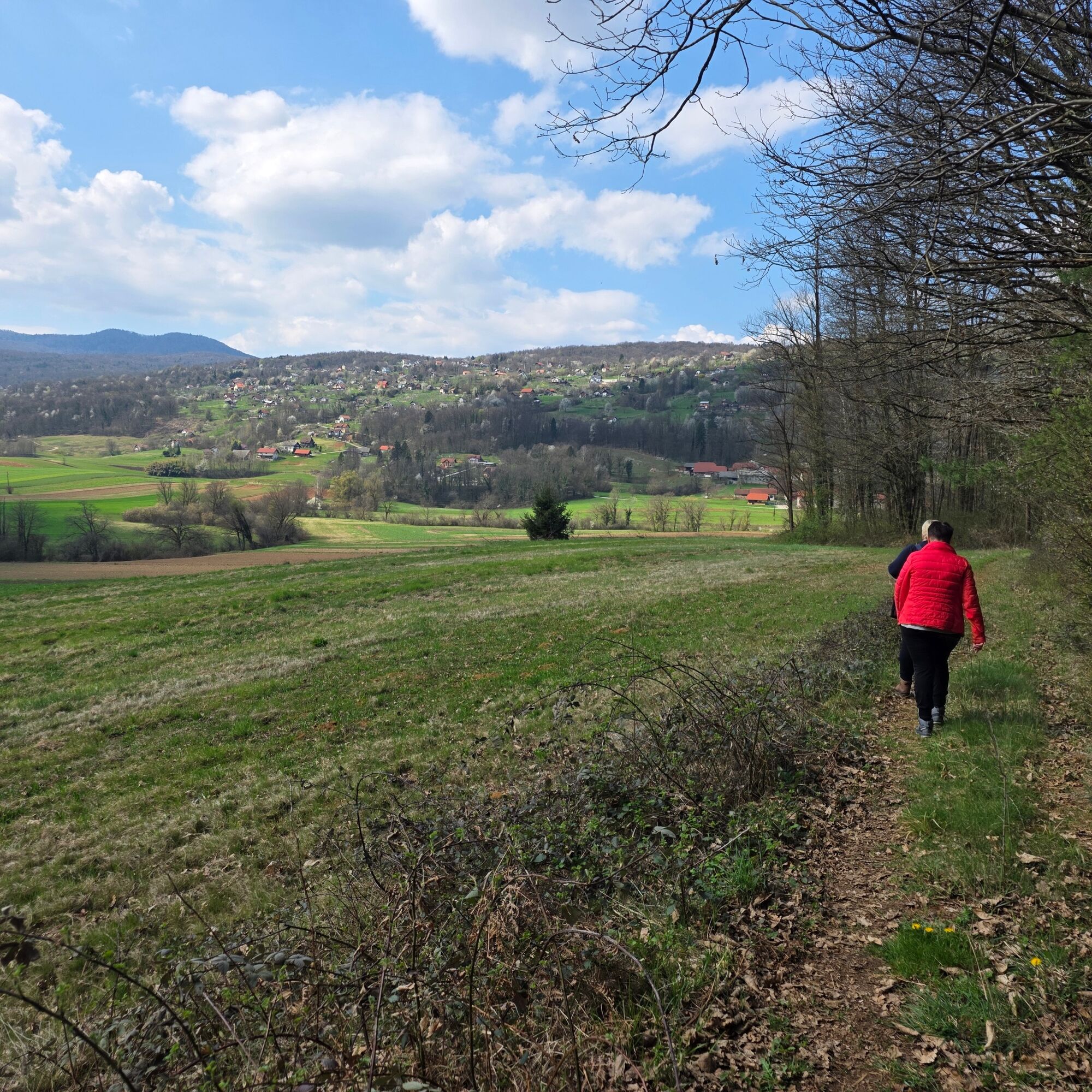
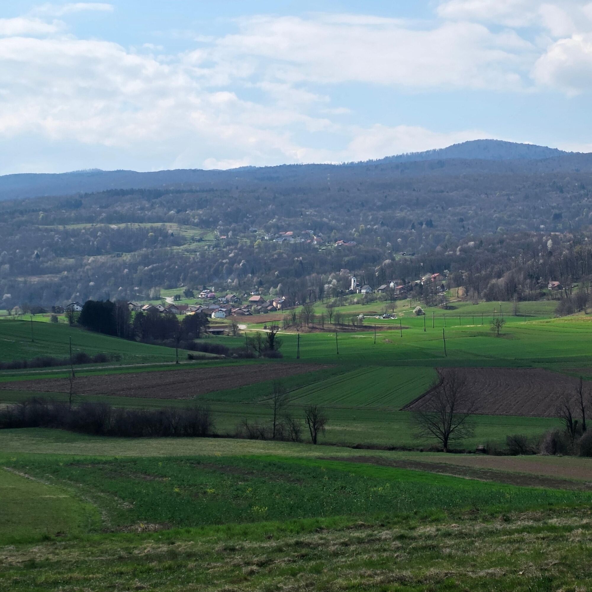
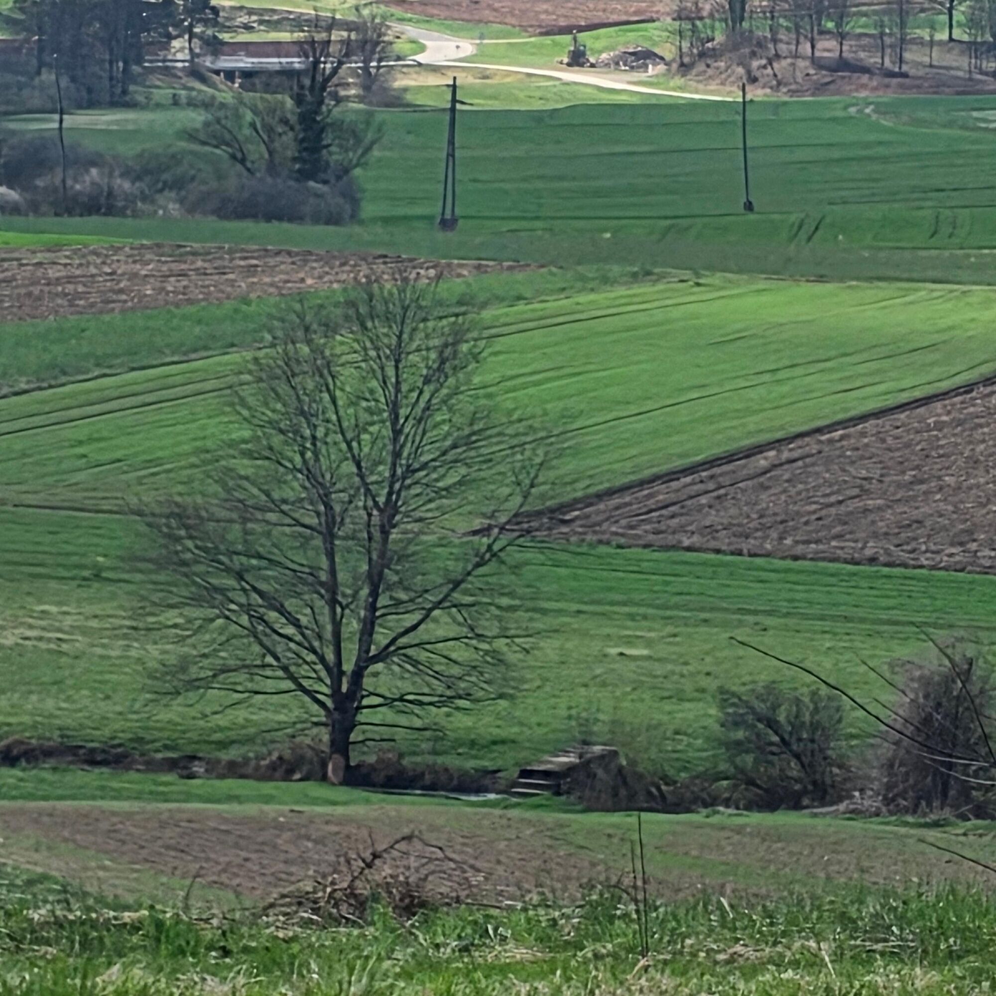
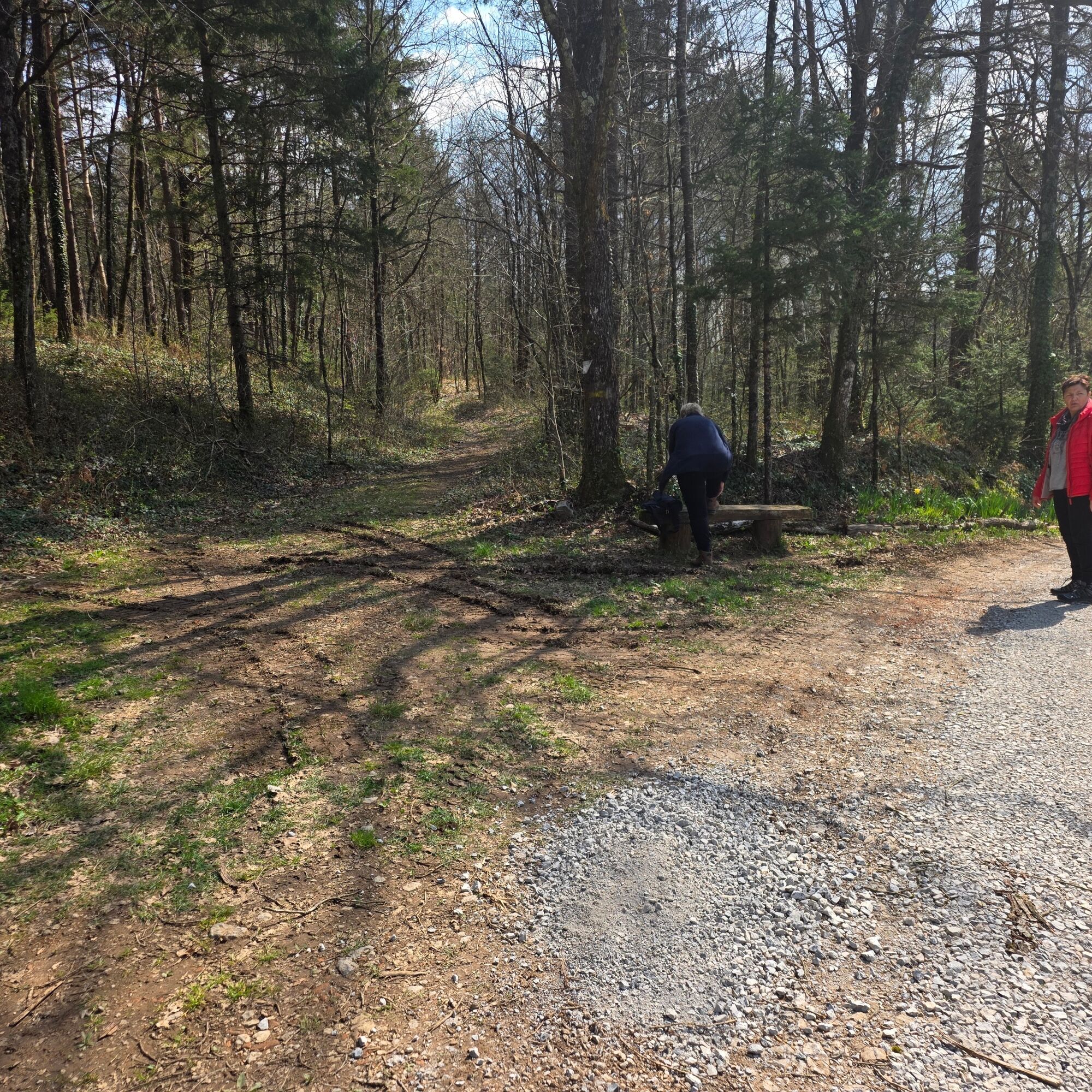
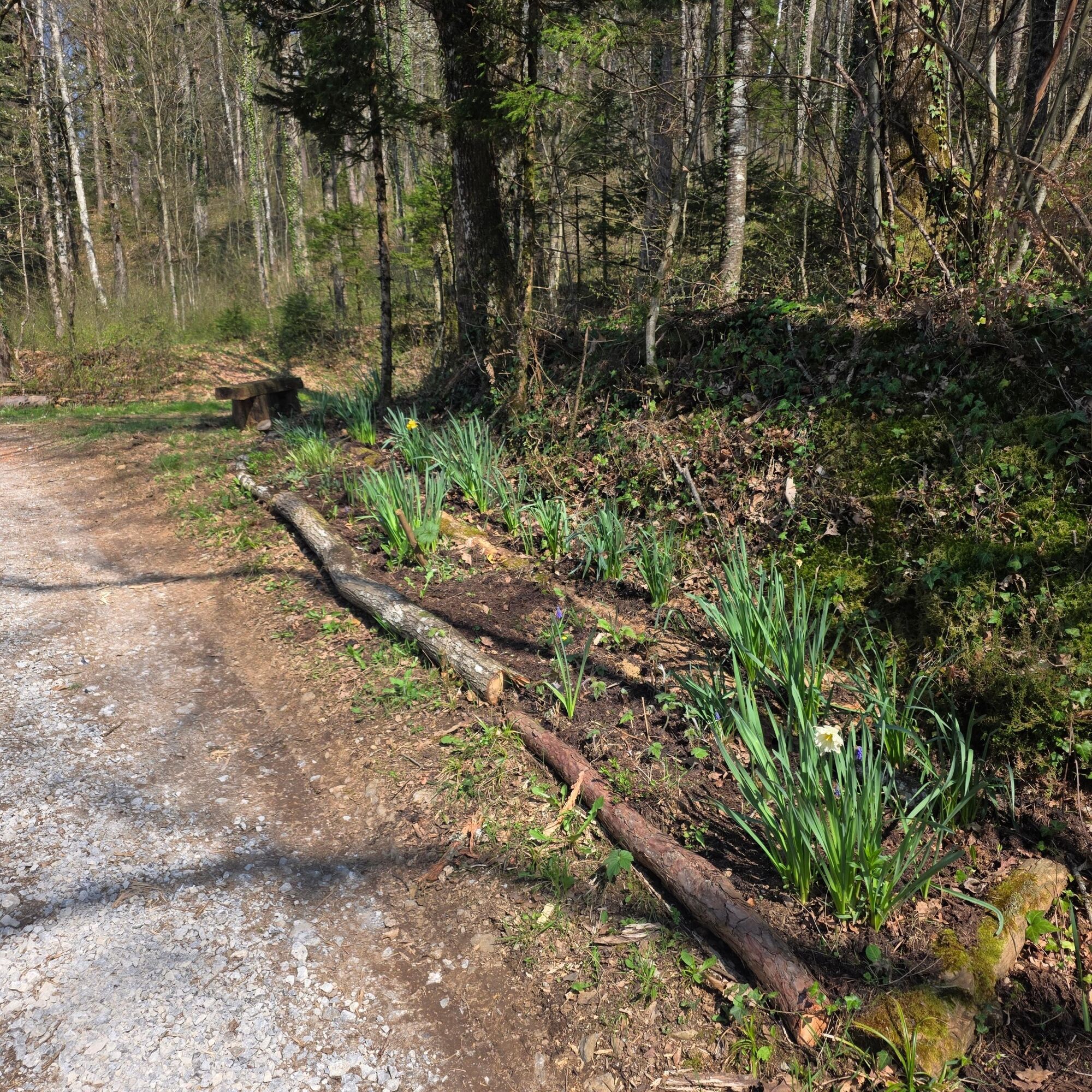
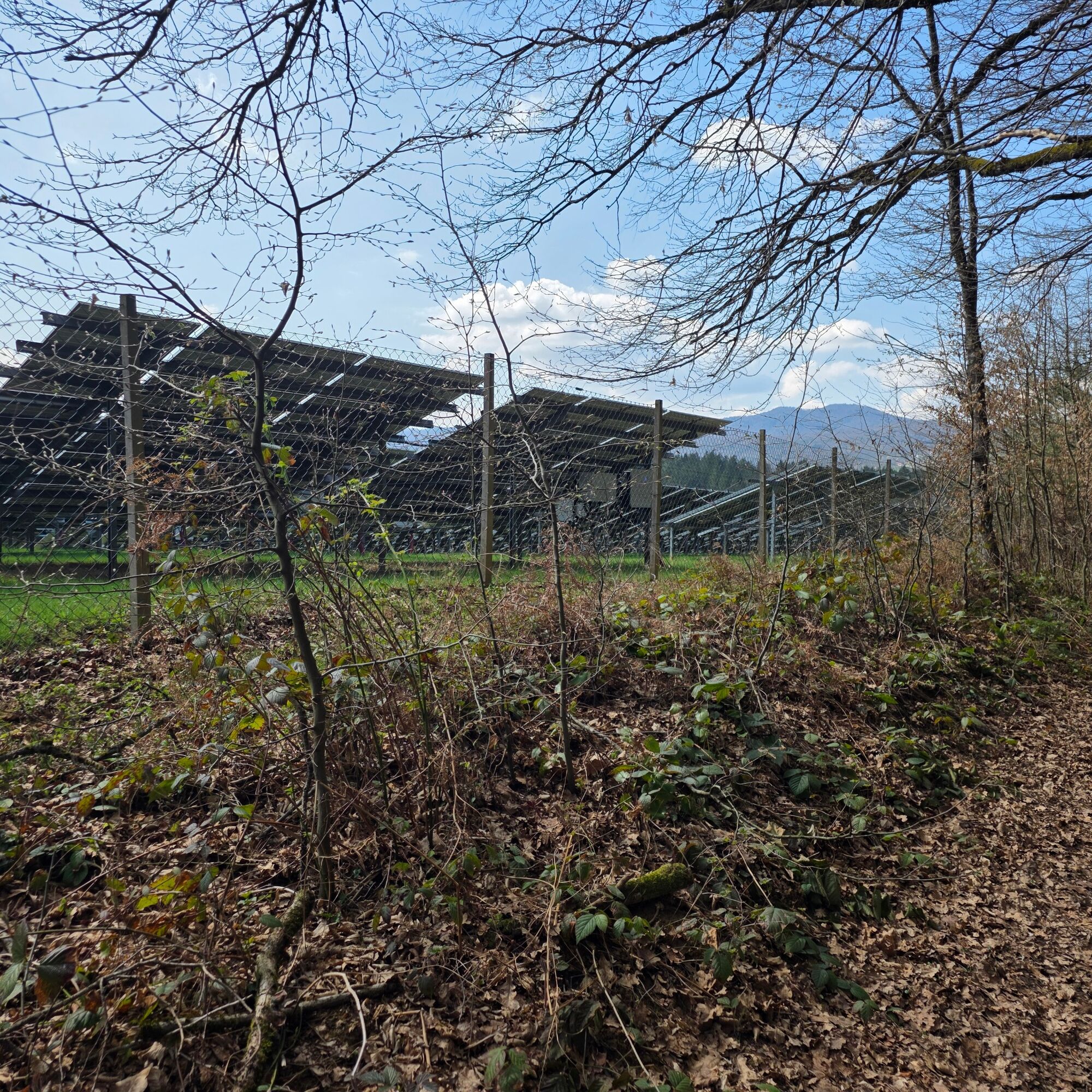
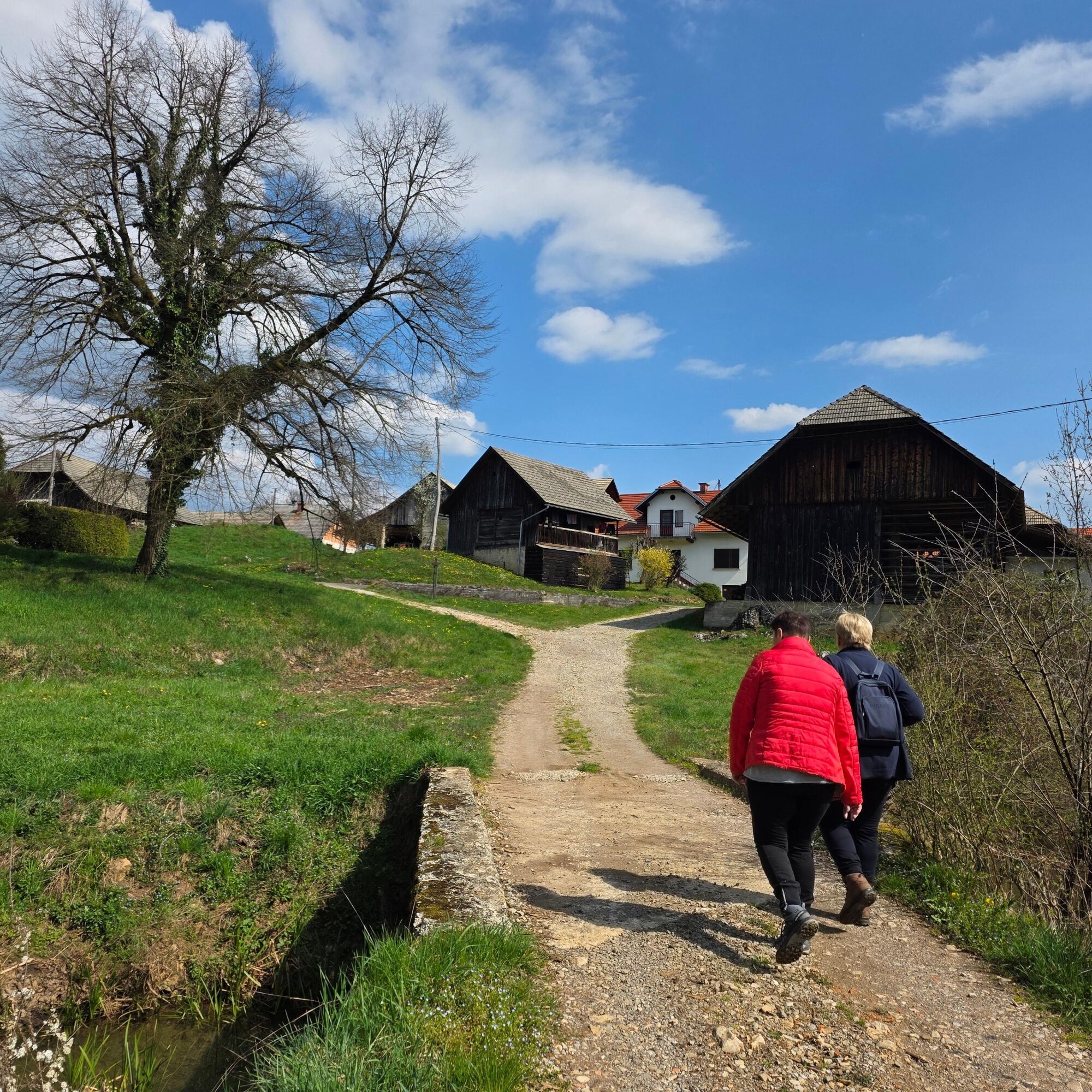

The trail starts at the Panda bar. We descend along the asphalt road in a southwesterly direction through the village onto a forest path. In a slight climb along the right branch of the trail we reach the first recreational point, where we can do some stretching exercises. We continue through the forest past several similar points and descend towards the gravel road that leads to the village of Jelševnik. In front of the village there is a pond and not far away there is the Zupančič excursion farm where we can admire the natural habitat of the Black Marsh, which, if we are lucky, we can also spot. The trail turns back here and leads us along the gravel road along the edge of the forest to the largest solar power plant in Bela Krajina. On the way, we can admire the diversely populated landscape of Bela Krajina with the villages of Dobliče, Jerneja vas, Kanižarica and the numerous meanders of the Dobličica. At the power plant we turn left back towards the north, towards Svibnik
Tak
Light hiking shoes and weather-appropriate clothing.
After heavy rain, walking on the path can be slippery, so it is important to adjust your walking to the conditions.
Leave the Ljubljana - Zagreb motorway at the Novo Mesto, Metlika junction. On the regional road through Gorjanci, turn right to Semič and then right to Črnomelj and Svibnik.
Bus Črnomelj-Svibnik
Parking at Bar Panda.
T1
We walk as fast as we can. Exaggeration is not safe.
You can complete the trail as an easy walk or increase your pace, gradually gaining fitness and warding off any potential problems.
Popularne wycieczki w okolicy
-
Via Bela Krajina
ciężkiKolarstwo długodystansowe 184,1 km -
Educational path - heart path Svibnik
ciężkiWędrówka 12,2 km -
Slovenian Alpine Cycle-touring trail
ciężkiMountainbike 1 824 km -
Kočevje cycling trail, DAY 3
światłoJazda na rowerze 27,2 km -
Live Karst museum
światłoWędrówka 12,5 km -
The southernmost slovenian hiking trail
światłoWędrówka 10,9 km -
Dolenja vas - Gostilna Tušek - Cerkev Vseh svetnikov - Kavurov slap
średniKolarstwo długodystansowe 123 km -
Vrčice - Planinski dom na Mirni gori - Mirna gora - Sv. Ilija
średniWędrówka 13,2 km -
Vrčice - Blatnik pri Črmošnjicah - Škrilj - Planinski dom na Mirni gori
średniWędrówka 9,49 km -
Praprot - Krupa - Stranska vas pri Semiču - Judovska hiša
światłoWędrówka 4,80 km
Wędrówki i tropienie


Nie przegap ofert i inspiracji na następne wakacje
Twój adres e-mail została dodana do listy mailingowej.





