


Long Kočevje mountain trail
In the first part, the Long Kočevje mountain trail joins a small one, proceeding along the slopes of Borovška and Goteniška Mountain on to Goteniški Snežnik to Medvedjak, Sušni vrh and the decaying forestry...
In the first part, the Long KoÄevje mountain trail joins a small one, proceeding along the slopes of Borovška and Goteniška Mountain on to Goteniški Snežnik to Medvedjak, Sušni vrh and the decaying forestry center Glažuta through GrÄarice to Jasnica and after the peaks of Stojna back to KoÄa pri Jelenovem studencu. The whole path is well marked; there are signposts at all intersections.
A large part of the route runs along the high karst, so the strong causality of the landscape will follow you at every step. The area is full of sinkholes, rock sinks, hollows and caves.
You are also traversing the bear country, so there is a great chance that you will meet, or at least see one. Have respect and follow basic safety precautions and it should be a pleasant experience.
KoÄevje is also known, or should we say "unkown", as a sort of "Area 51" of Slovenia, meaning it has closed military areas still in operation.

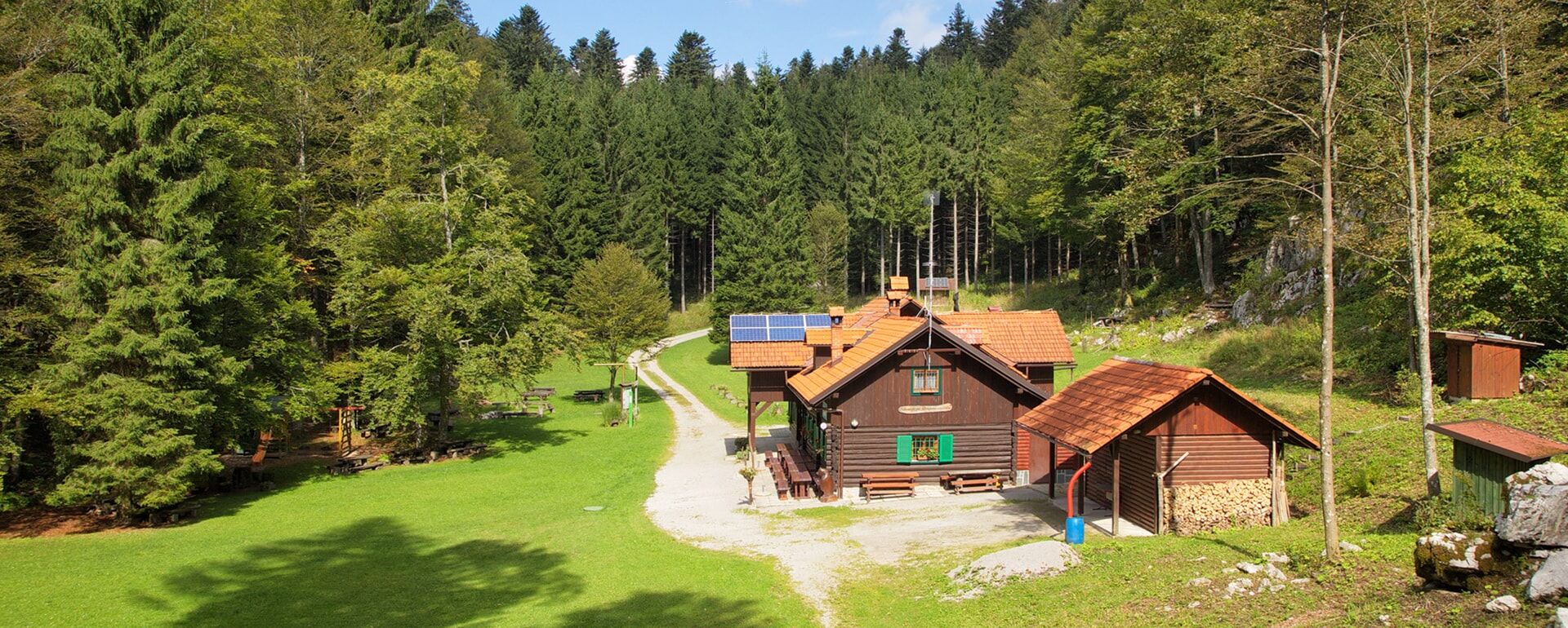
We suggest you start in Kočevje and chose a desired trail to reach the ridges...perhaps to Goteniški Snežnik.
Tak
Standard hiking equipment
General rule when moving in the bear country is to make some noise during the hike, so that the bears can move away. They are not agressive unless you surpise them or meet them with cubs, than they can get protective. Also, keep the dogs on the leash at all times.
From Ljubljana head towards Škofljica and Kočevje.
Kočevje is easily accesible with train or bus from Ljubljana.
Free and payable parking available.
There are other shorter trails in the area as well, so check the www.kocevsko.com/en page for all the info.
For accomodation check Hostel Bearlog or Camp Jezero.
Plan your overnight stays in advance, follow safety precautions regarding bears and you should enjoy the trail. The trail is also not very "touristy."
Popularne wycieczki w okolicy
-
From Strma Reber
średniDroga rowerowa 84,0 km -
Trimček mountain trail
średniWędrówka 11,5 km -
Kočevje cycling trail; DAY 1
średniJazda na rowerze 33,3 km -
Kočevje cycling trail; DAY 2
średniJazda na rowerze 44,0 km -
Kočevje cycling trail, DAY 4
średniJazda na rowerze 36,0 km -
Kočevje Short hiking trail
ciężkiWędrówka 53,0 km -
Pohod po medvedovih stopinjah 2025
Wędrówka 38,4 km -
Primorsko-goranska županija - Vražji vrtec - Kozji vrh - Planinarska kuća Frbežari
średniWędrówka 18,6 km -
Bela Voda - Grčarice - Gotenica - Kočevska Reka
długodystansowy szlak pieszy 27,5 km -
Planinarska kuća Frbežari - crkva svetog Andrije - Male Gospe - Izvor Kupe
średniWędrówka 15,2 km
Wędrówki i tropienie


Nie przegap ofert i inspiracji na następne wakacje
Twój adres e-mail została dodana do listy mailingowej.