


Premium route P23 Höllental
In the area, the trained eye can still find hundreds of years old traces of mining. On the Bilstein, which towers above the Höllental, there are remains of a ruin. You cross the Höllental deeply cut by...
In the area, the trained eye can still find hundreds of years old traces of mining. On the Bilstein, which towers above the Höllental, there are remains of a ruin. You cross the Höllental deeply cut by the small river Berka.
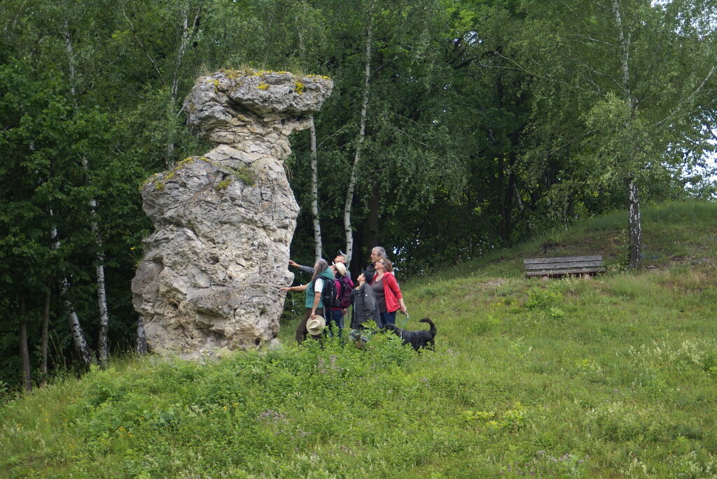
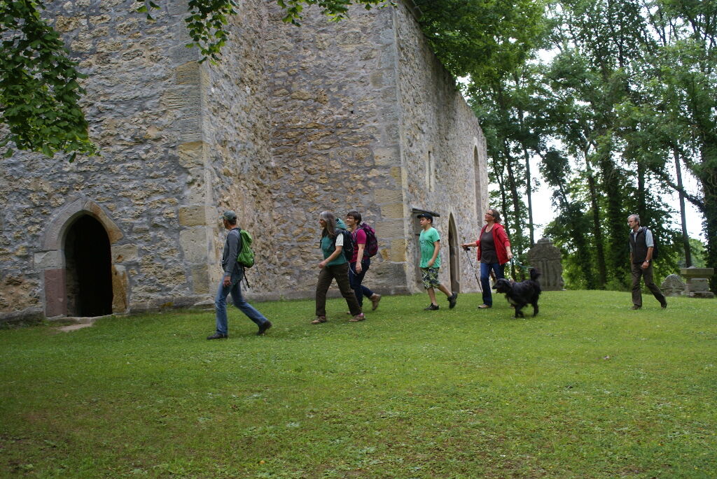
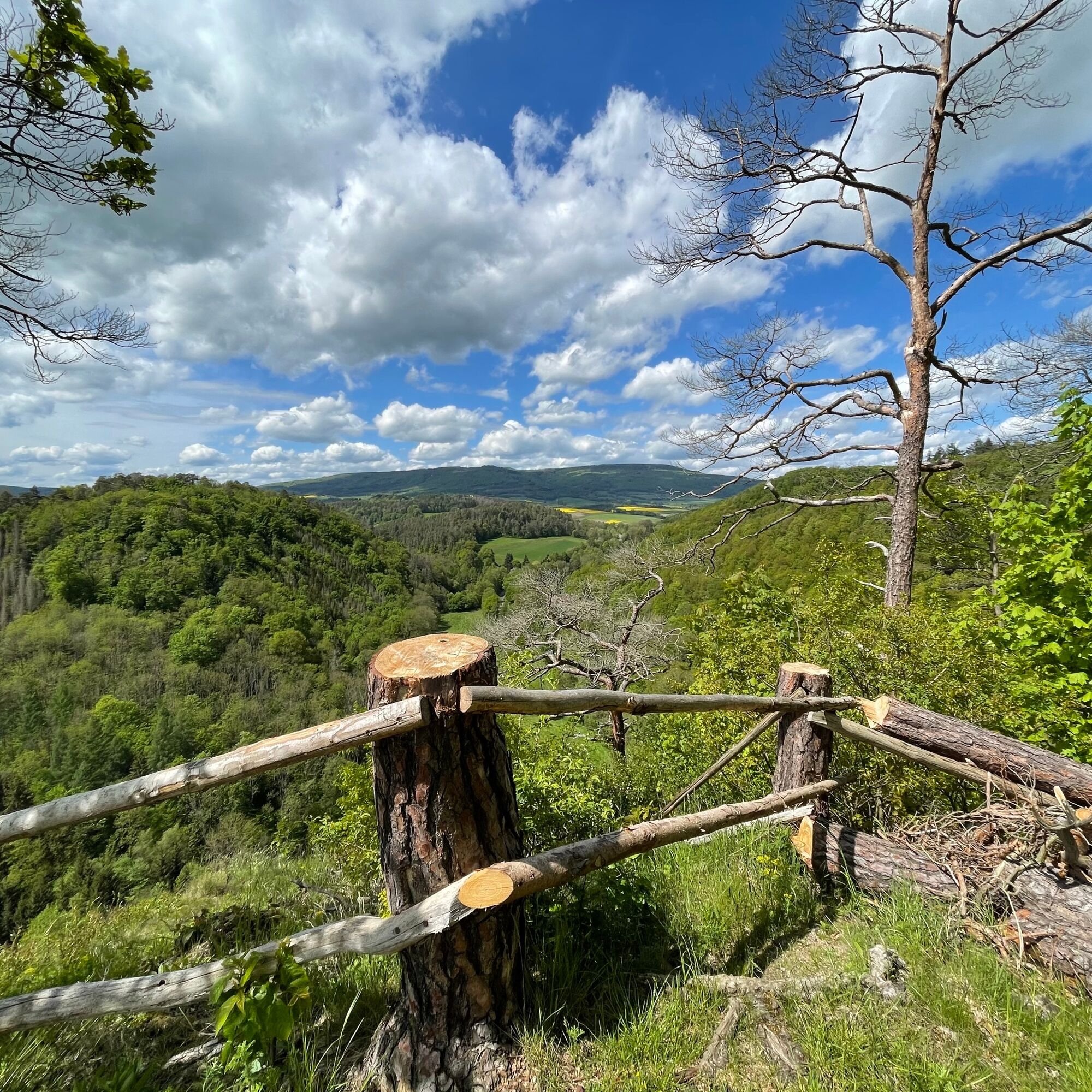
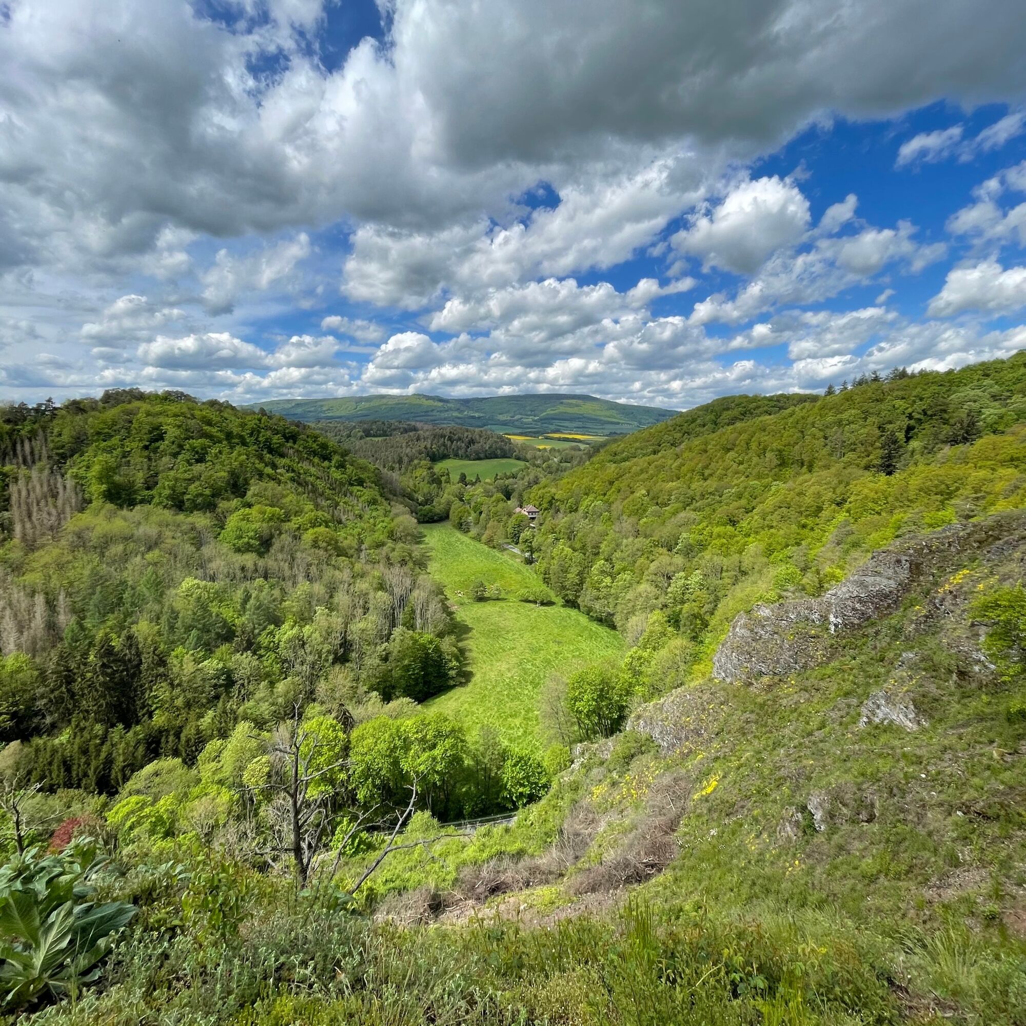
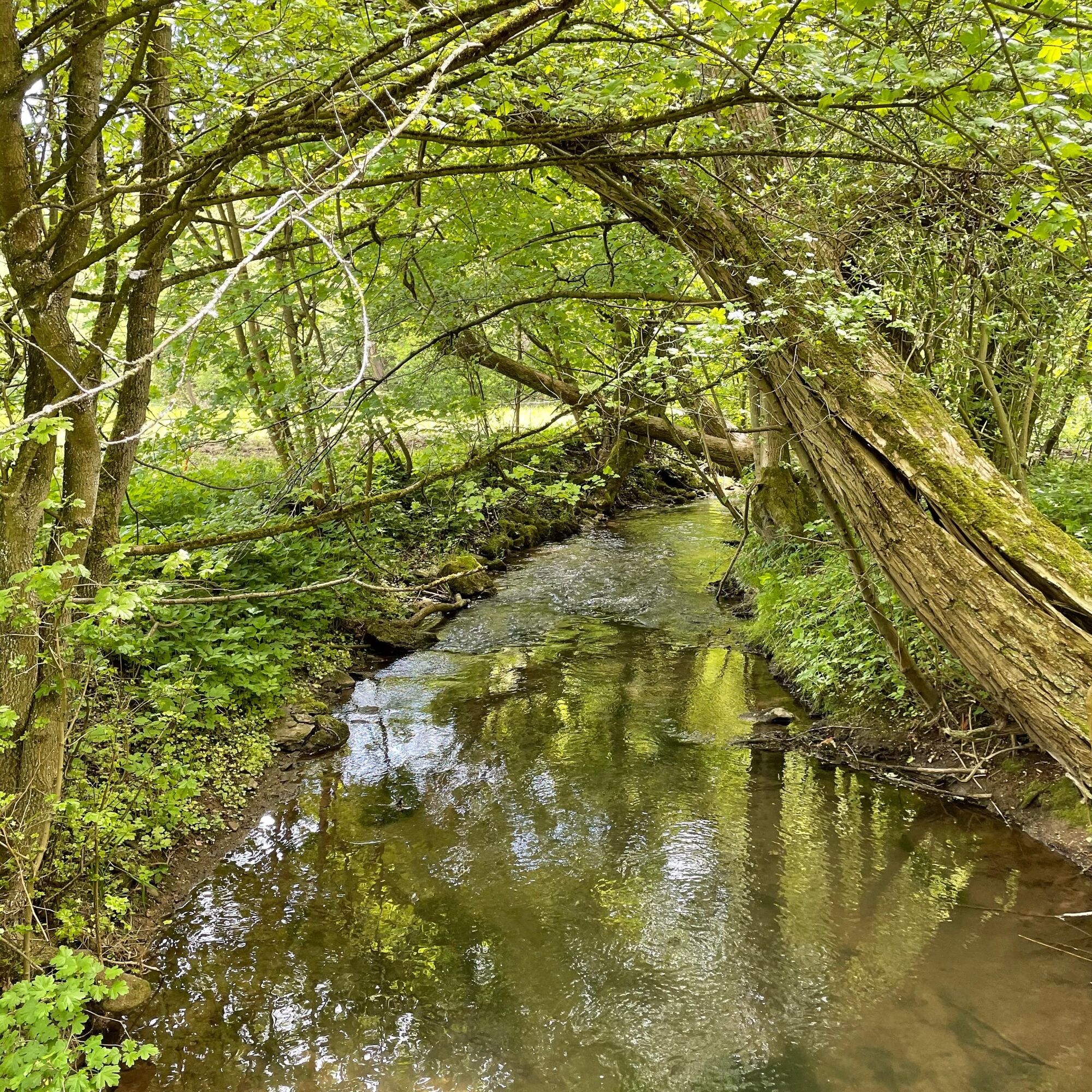
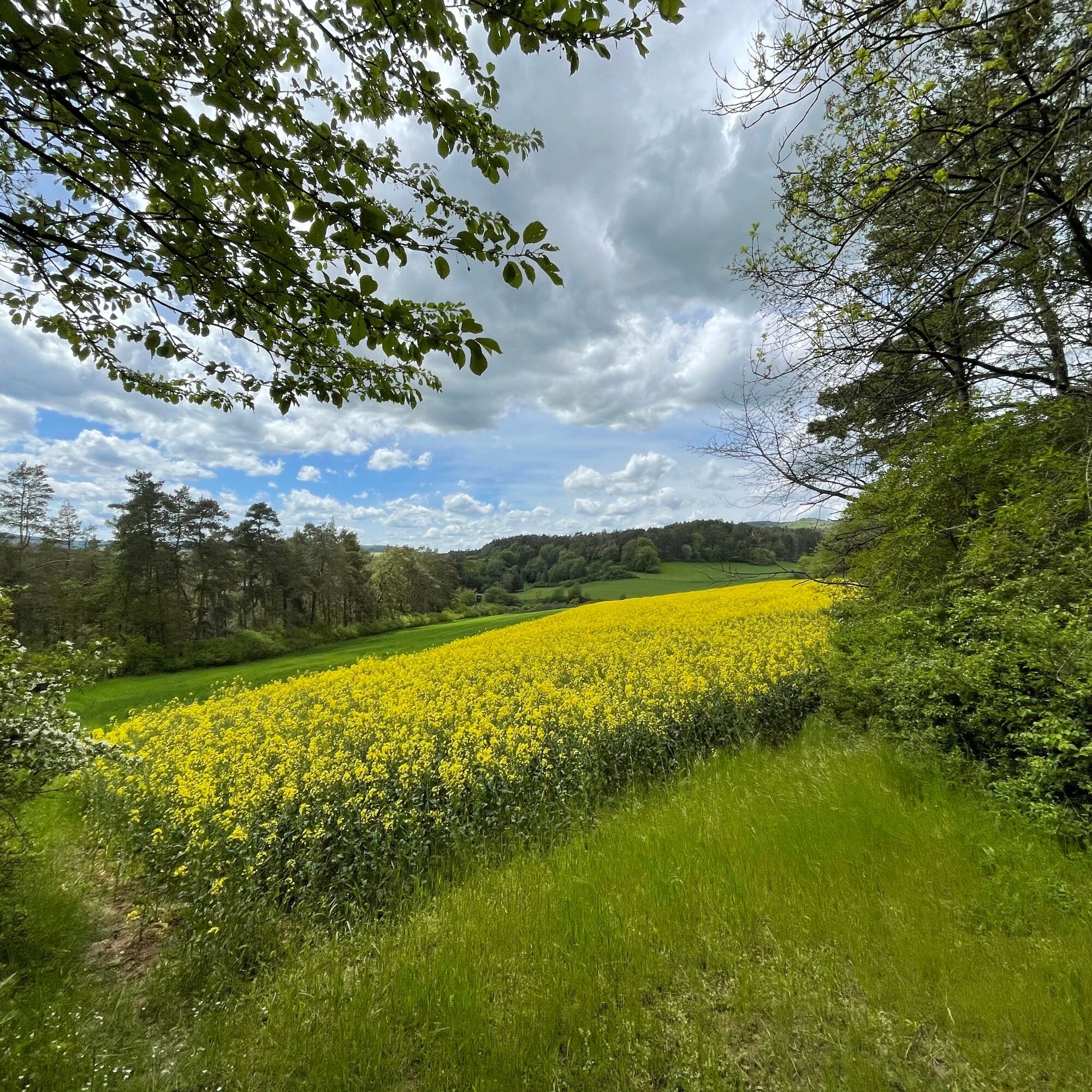
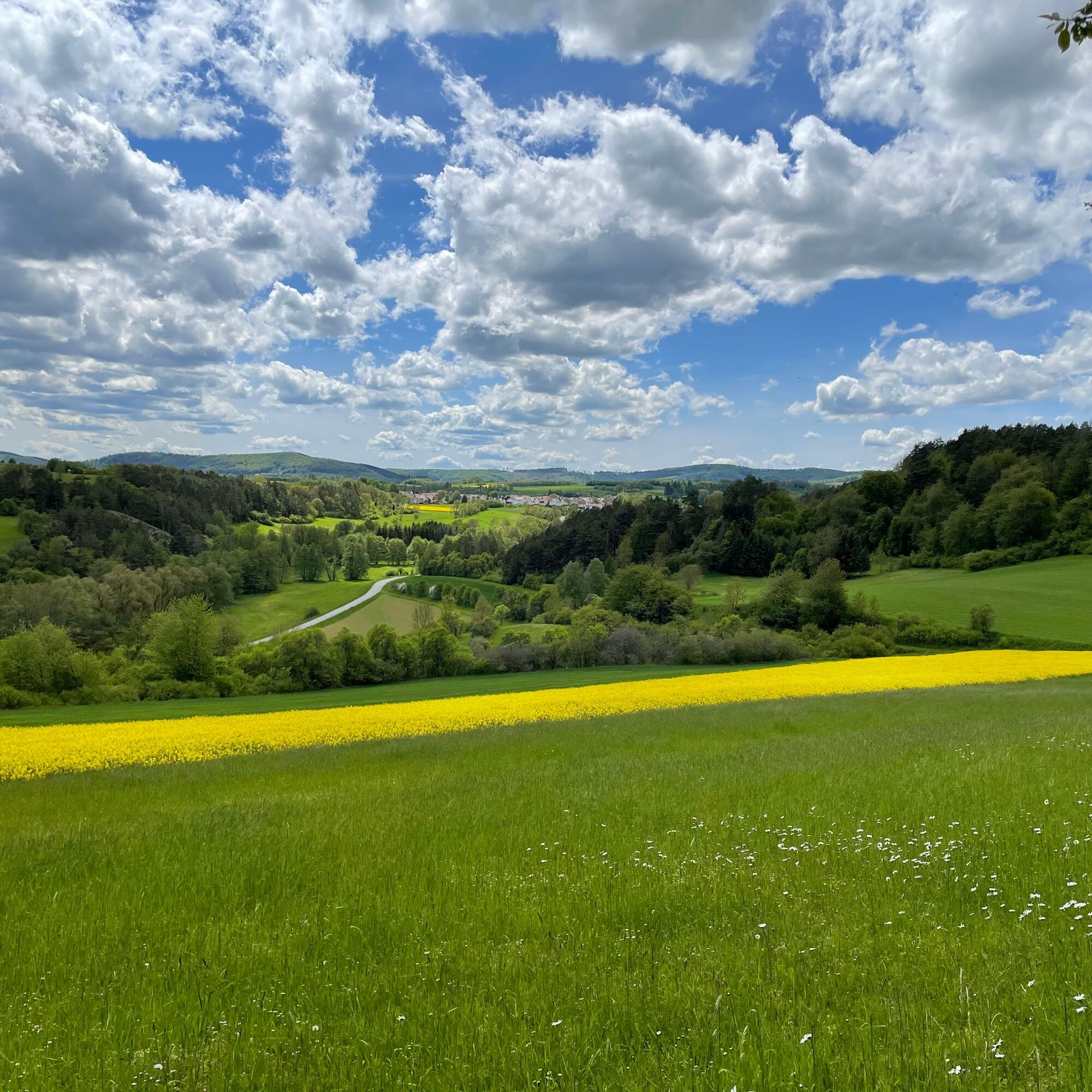
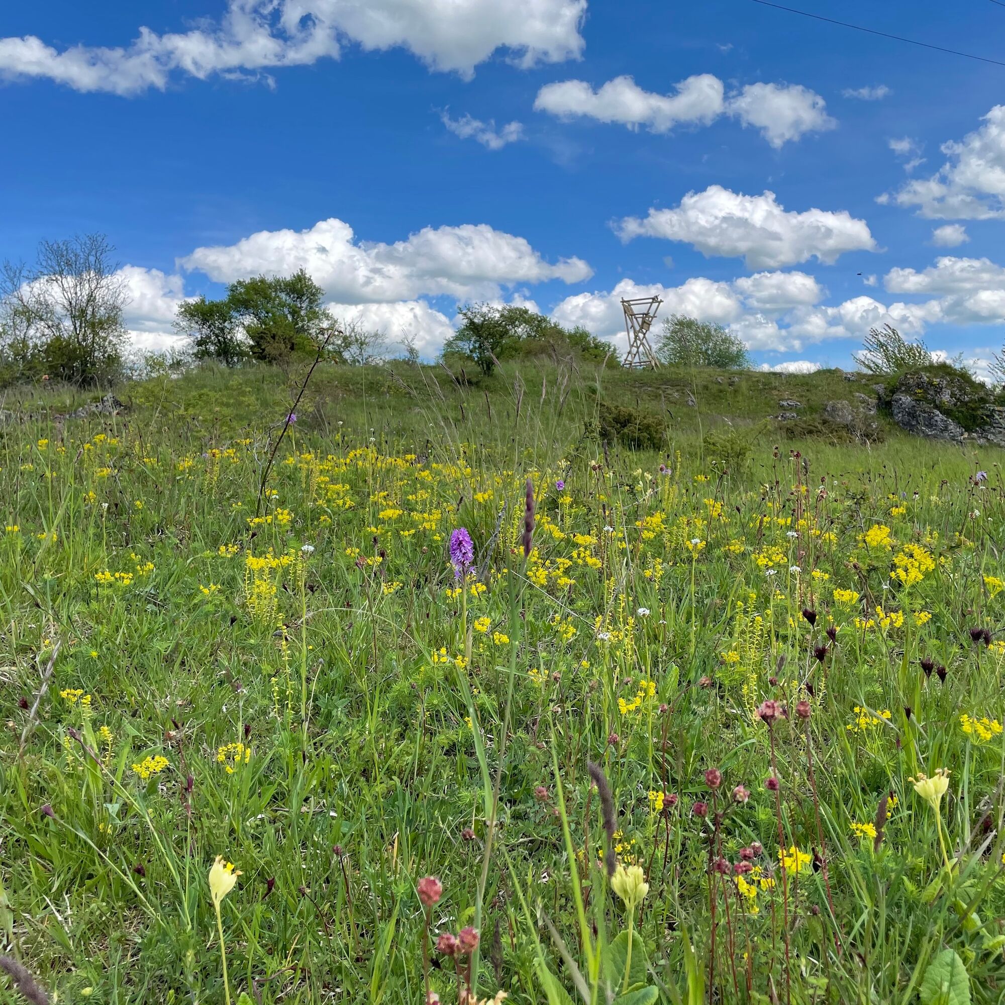
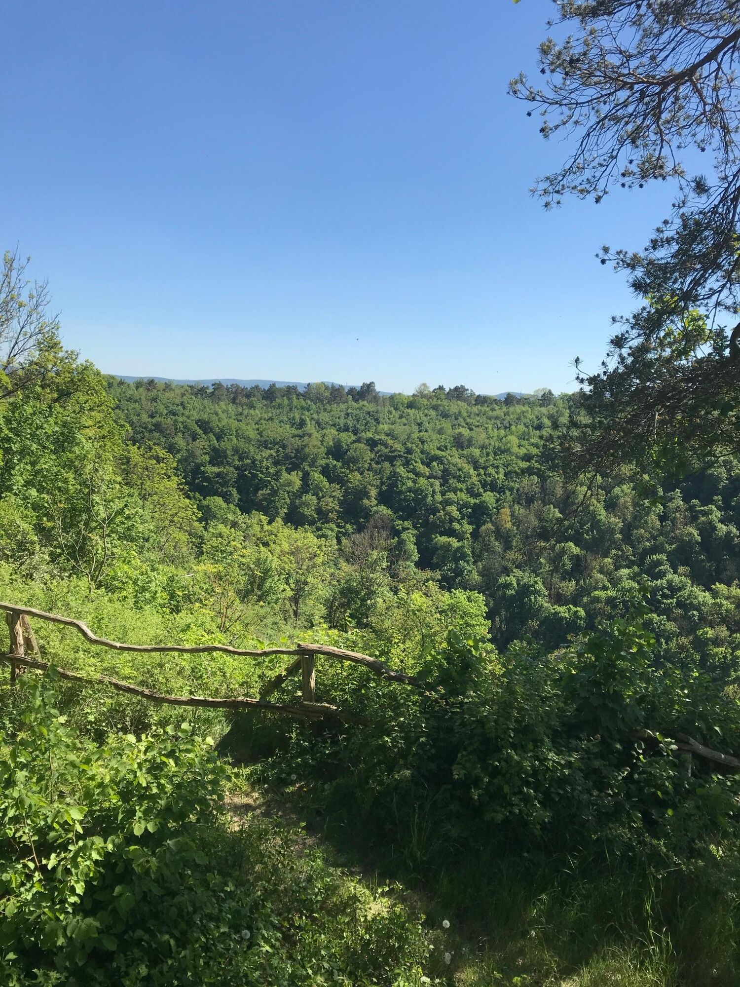
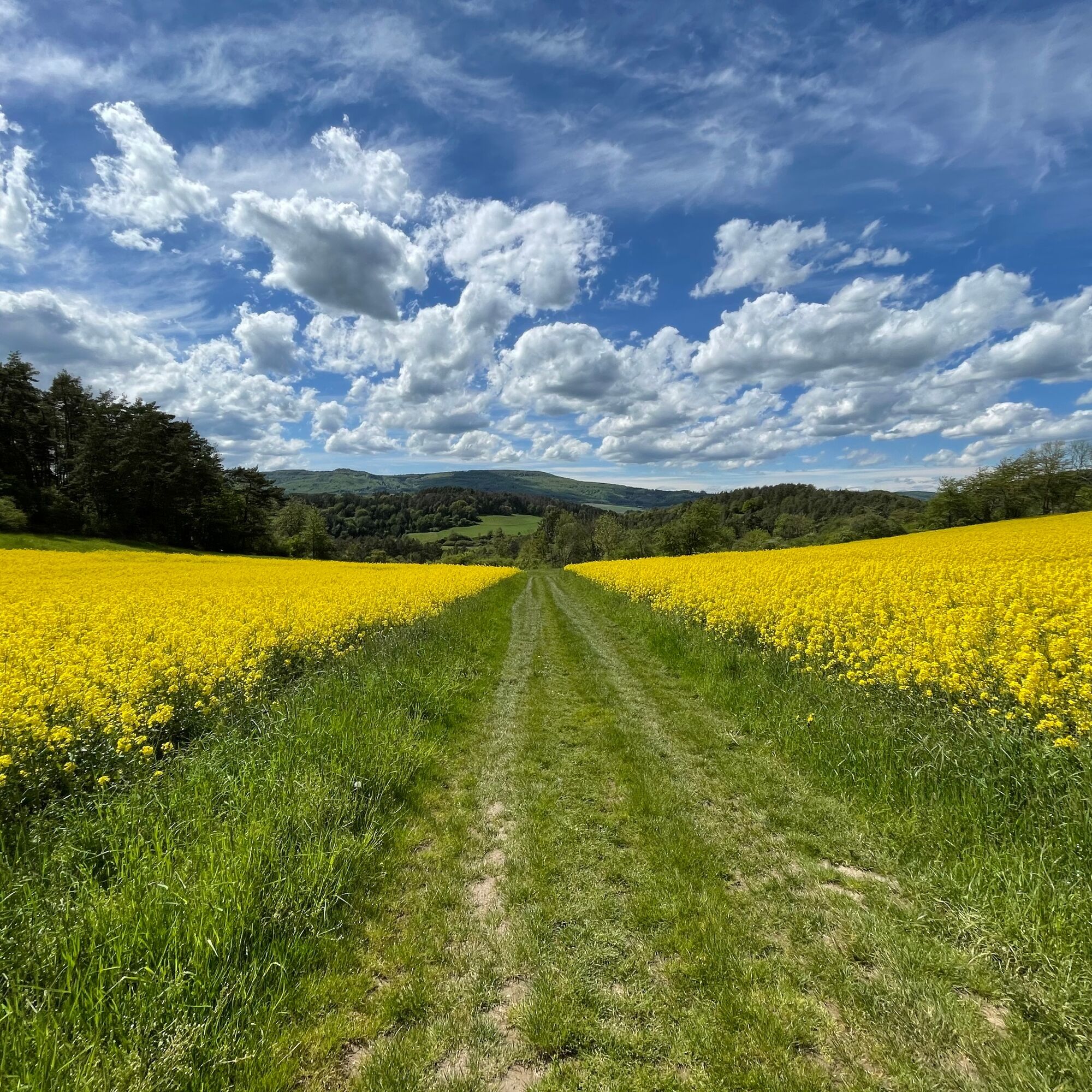
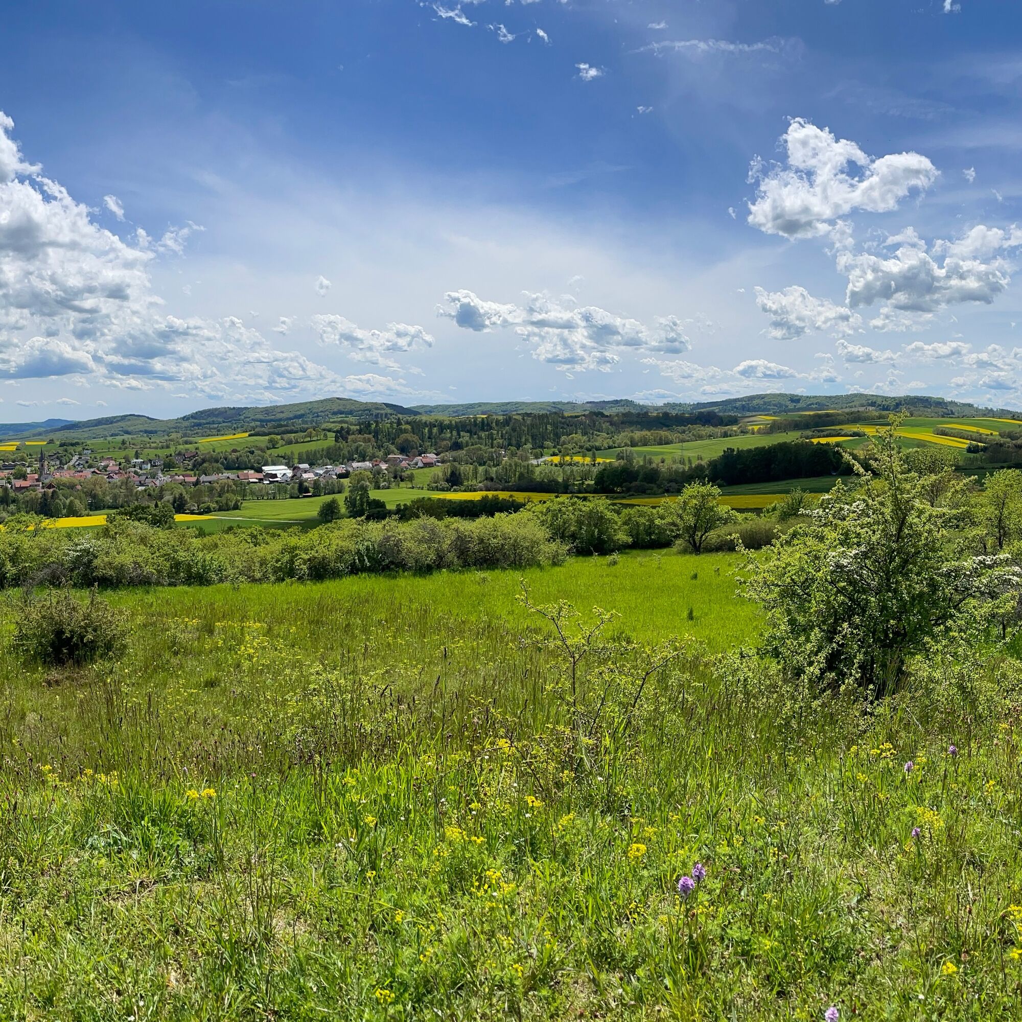
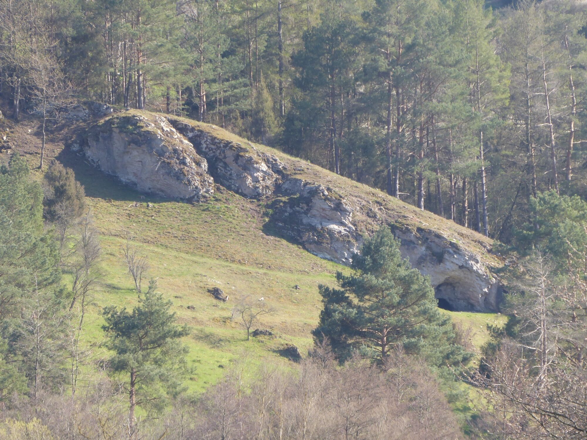
From the car park at the Abterode church ruin, the path leads directly through the ruin from the 14th century. Within sight, the rock Abteröder Bär, a place of Frau Holle, draws attention with its distinctive shape. Through the Kupferbach valley it goes over to the Iberg, where yews used to grow. This is followed by a steep descent into the Höllental to Nedderborn, before climbing steeply on a path on the other side of the valley to the Bilstein ruin. From above there is a great view into the Höllental and towards the Hoher Meißner. Now another descent follows down into the Höllental. Past the show mine Grube Gustav, the path leads through fields and dry grassland areas over the highest point, the Krösselberg, and back to Abterode. Premium route P23, premium route P7 Söder Wald and premium route P2 Frankershäuser Karst can be combined via signposted connecting paths.
Tak
Moderate route, steep ascents and descents. The descent towards the Nedderborn hiking car park is very steep and should be approached with great caution in wet weather (slip hazard). Ankle-high hiking boots are required, take binoculars with you!
Please note the current information under Important information on current restrictions on our hiking trails (naturparkfrauholle.land)
Show mine Grube Gustav, Kupfergasse 19c, 37290 Meißner-Abterode
Tak
For groups, the show mine also opens outside the stated opening hours. Close to the mine is the Frau Holle accommodation. Overnight stays and refreshments are possible here. The tearoom is open on summer weekends.
Information on accommodation options, excursion tips, guided hikes and news from the Geo-Nature Park Frau-Holle-Land: www.naturparkfrauholle.land, Tel. 05657 644990 or 0561 1003-1382.
Plan one hour for the visit to the show mine Grube Gustav!
Popularne wycieczki w okolicy
- 4,0
Premium route P1 Hoher Meißner
ciężkiWędrówka 13,8 km - 5,0
Premium trail P16 Asbach-Sickenberg - Walkable Green Belt
ciężkiWędrówka 13,6 km - 5,0
Premium trail P14 Bilstein
średniWędrówka 9,96 km - 3,5
Premium route P27 Ludwigstein
średniWędrówka 11,2 km - 5,0
Premium route P2 Frankershäuser Karst
ciężkiWędrówka 10,2 km Premium route P4 Hessische Schweiz - Walkable Green Belt
ciężkiWędrówka 15,7 km- 5,0
Premium route P10 Reichenbach
średniWędrówka 13,1 km Premium route P9 Wacholderpfad Roßbach
średniWędrówka 11,1 km- 4,0
5th section Werra-Burgen-Steig Hessen
ciężkiWędrówka 17,5 km - 1,0
Premium path P8 Heiligenberg Bühlchen
światłoWędrówka 7,58 km
Wędrówki i tropienie


Nie przegap ofert i inspiracji na następne wakacje
Twój adres e-mail została dodana do listy mailingowej.