







Premium route P25 Kleinalmerode

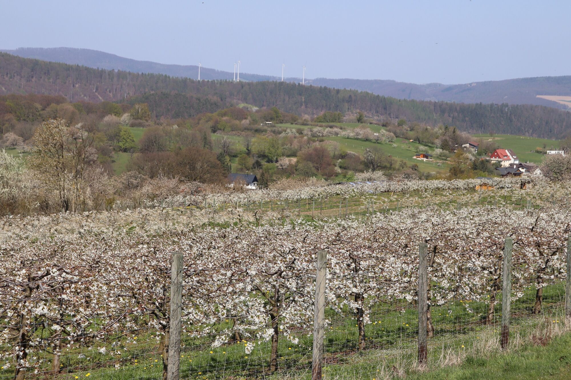
The premium route runs mostly through open country through a varied cultural landscape and offers wonderful views again and again. Especially from the highest cherry plantation on the Klippstätte and from...
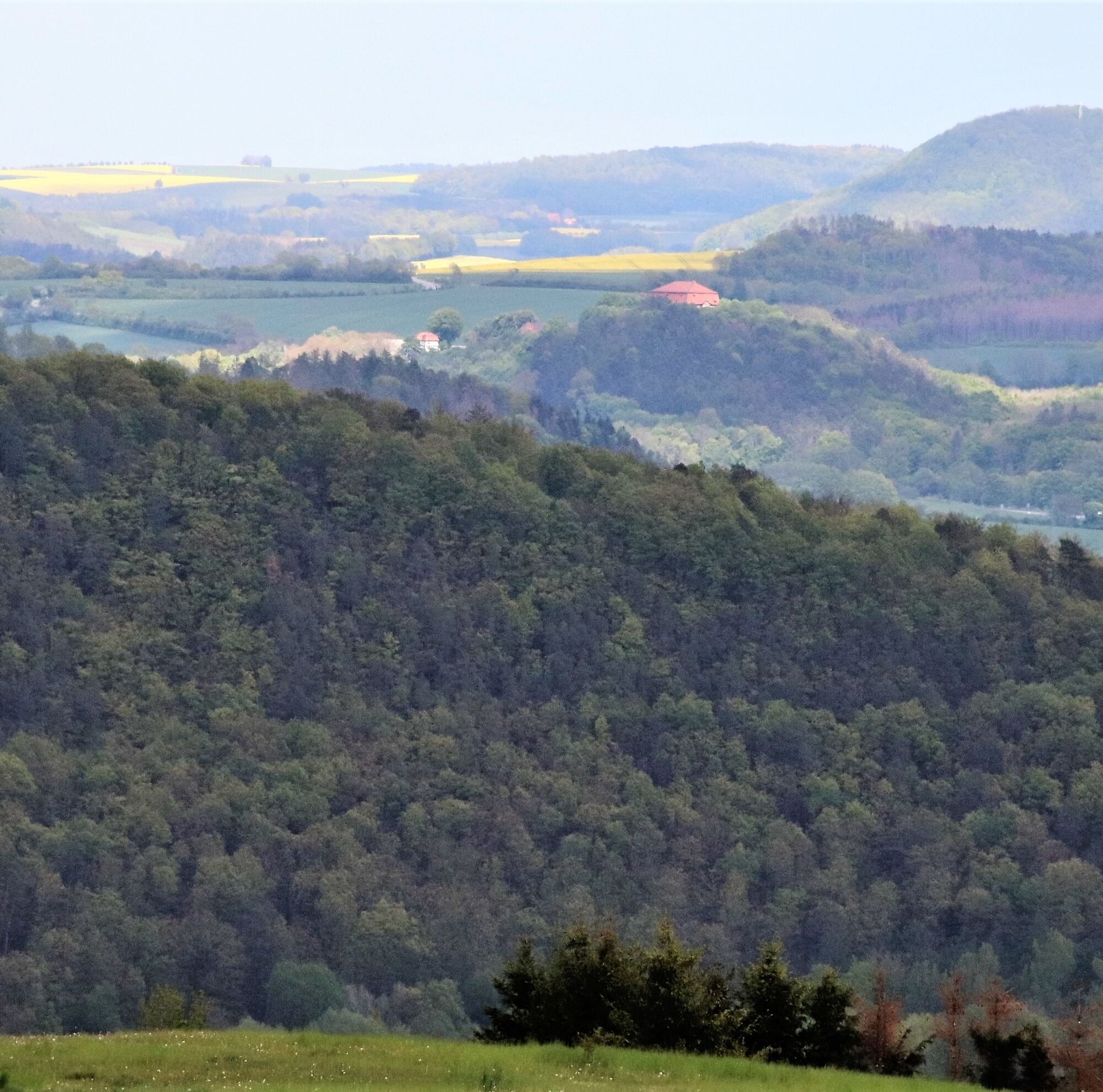
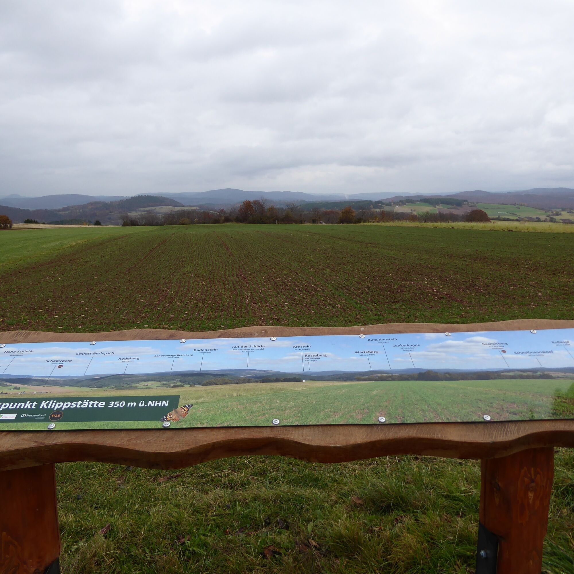
The premium route runs mostly through open country through a varied cultural landscape and offers wonderful views again and again. Especially from the highest cherry plantation on the Klippstätte and from the opposite side of the valley at the panorama board. The view extends to Berlepsch Castle in good weather.
A geological peculiarity is the Lost Stream. Due to karst formations, the small stream disappears underground and re-emerges further down the valley.
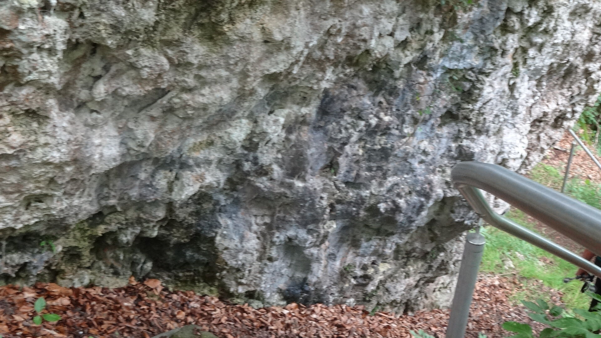
At the Buchholz rock, the route becomes adventurous. The dolomite rock forms a steep escarpment to the Hungershäuser Bach, where smaller rock falls have occurred repeatedly.
One of about 2,000 approved seed harvesting stands for Douglas firs nationwide is located on the P25 in the Kaufung Forest. The harvesting season for Douglas fir cones is August and September.



Tak
Hiking shoes required.
Please observe the current notices under Important notes on current restrictions on our hiking trails (naturparkfrauholle.land)
Nearest train stations Kassel-Wilhelmshöhe, Witzenhausen-Gertenbach, and Witzenhausen-Nord
Route planner www.nvv.de
Three hiking parking lots are equipped with information boards and can be used free of charge.
Parking lot at the sports field 37217 Witzenhausen-Kleinalmerode
Parking lot at 37217 Witzenhausen-Kleinalmerode, Ledergasse 1
Parking lot Nonnenholz on the country road between Nieste and Kleinalmerode
Tak
The Kirschwanderweg 4 starts in Kleinalmerode. https://www.naturparkfrauholle.land/wandern/premiumwege/detail/premiumweg-p25-kleinalmerode
More kilometers: The P25 is directly connected to the premium route P9 Wacholderpfad Roßbach, so both routes can be combined. Fewer kilometers: The P25 can be divided/shortened into two hikes via the marked shortcut or the Kirschwanderweg 4.


Popularne wycieczki w okolicy
- 4,0
Premium route P1 Hoher Meißner
ciężkiWędrówka 13,8 km - 5,0
Premium trail P14 Bilstein
średniWędrówka 9,96 km - 4,0
Premium route P11 Niester Riesen
światłoWędrówka 11,6 km - 3,8
Premium route P27 Ludwigstein
średniWędrówka 11,2 km - 5,0
Premium route P2 Frankershäuser Karst
ciężkiWędrówka 10,2 km Premium route P9 Wacholderpfad Roßbach
średniWędrówka 11,1 km- 4,0
5th section Werra-Burgen-Steig Hessen
ciężkiWędrówka 17,5 km - 1,0
Premium path P8 Heiligenberg Bühlchen
światłoWędrówka 7,58 km 1st section Werra-Burgen-Steig Hessen
średniWędrówka 7,40 km3rd section Werra-Burgen-Steig Hessen
Wędrówka 8,24 km
Wędrówki i tropienie


Nie przegap ofert i inspiracji na następne wakacje
Twój adres e-mail została dodana do listy mailingowej.





