







Road bike - Willingen mountain challenge
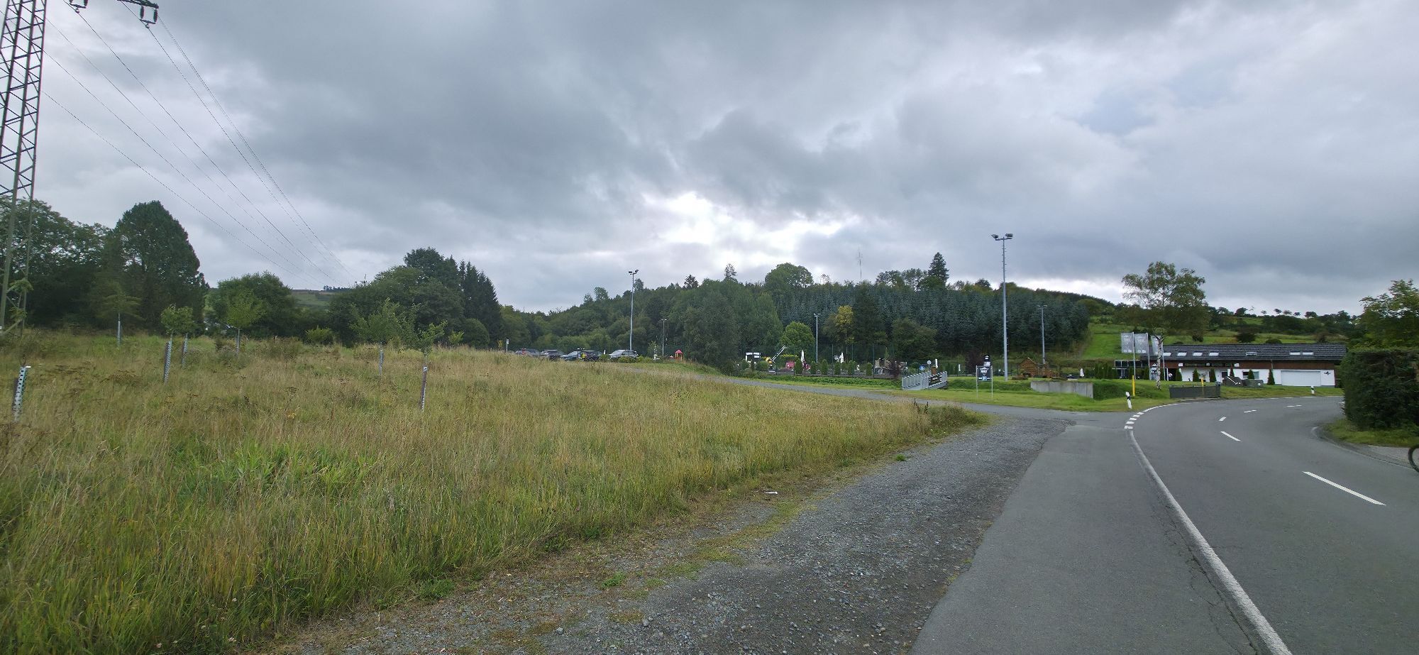
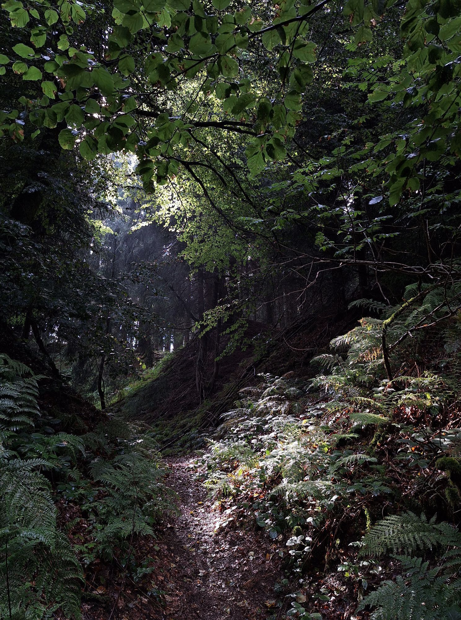
Willingen - Usseln - Welleringhausen - Alleringhausen - Nieder Schleidern - Oberschledorn - Düdinghausen - Referinghausen - Küstelberg - Elkeringhausen - Winterberg - Grönebach - Hildfeld - Niedersfeld...
Willingen - Usseln - Welleringhausen - Alleringhausen - Nieder Schleidern - Oberschledorn - Düdinghausen - Referinghausen - Küstelberg - Elkeringhausen - Winterberg - Grönebach - Hildfeld - Niedersfeld - Wiemeringhausen - Assinghausen - Bruchhausen - Brilon Wald - Gudenhagen - Hoppecke - Bontkirchen - Willingen

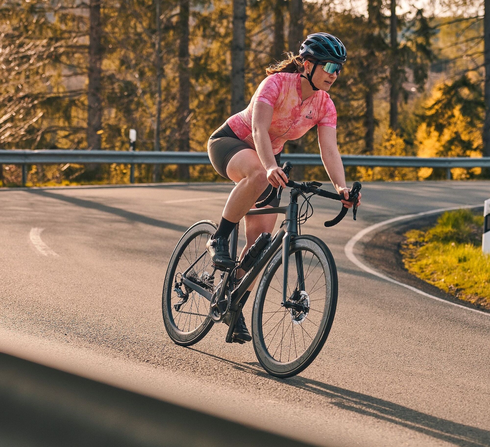
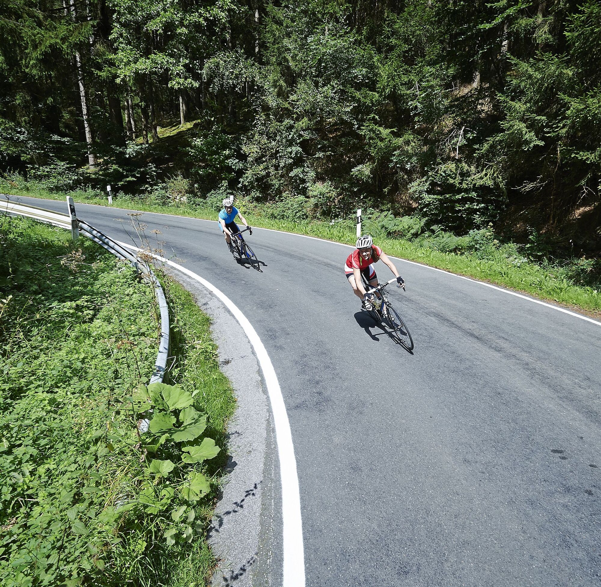
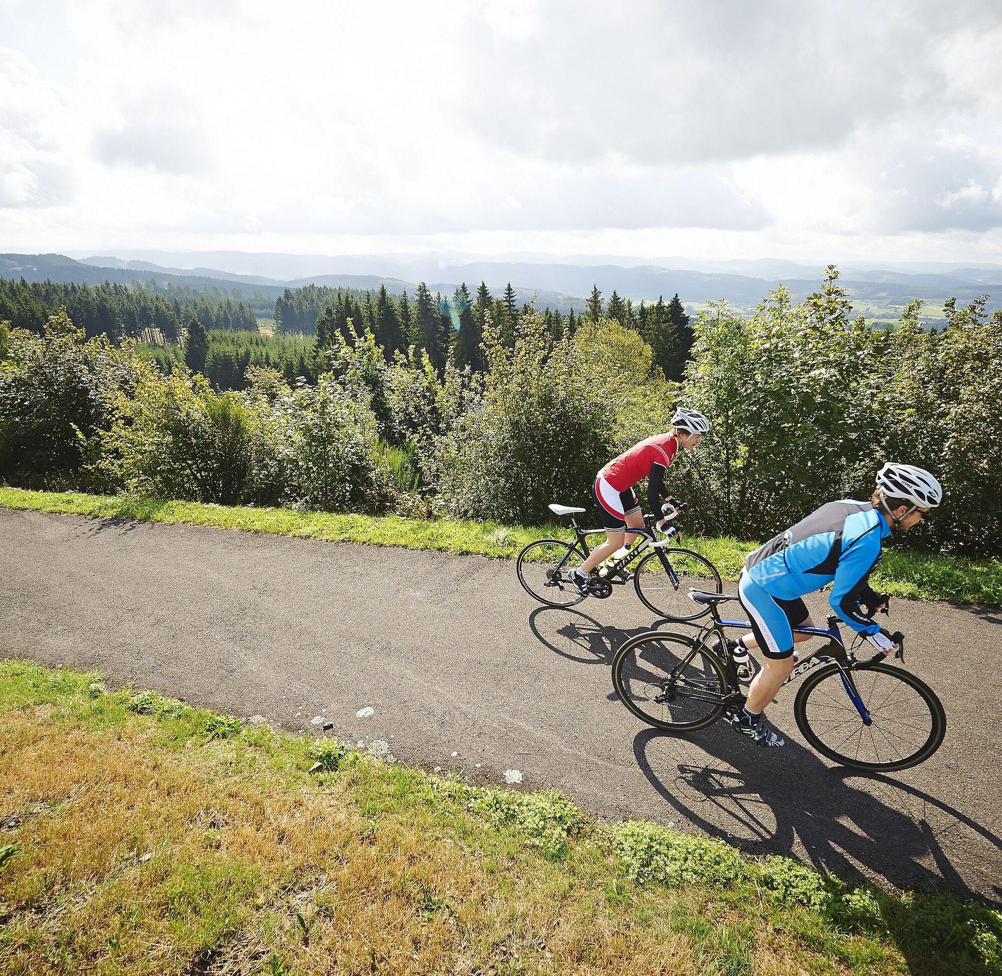

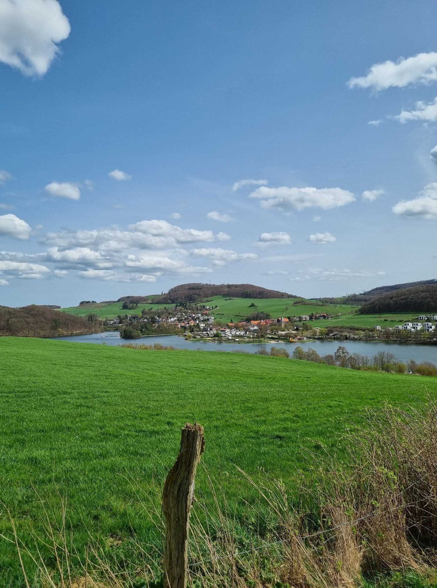
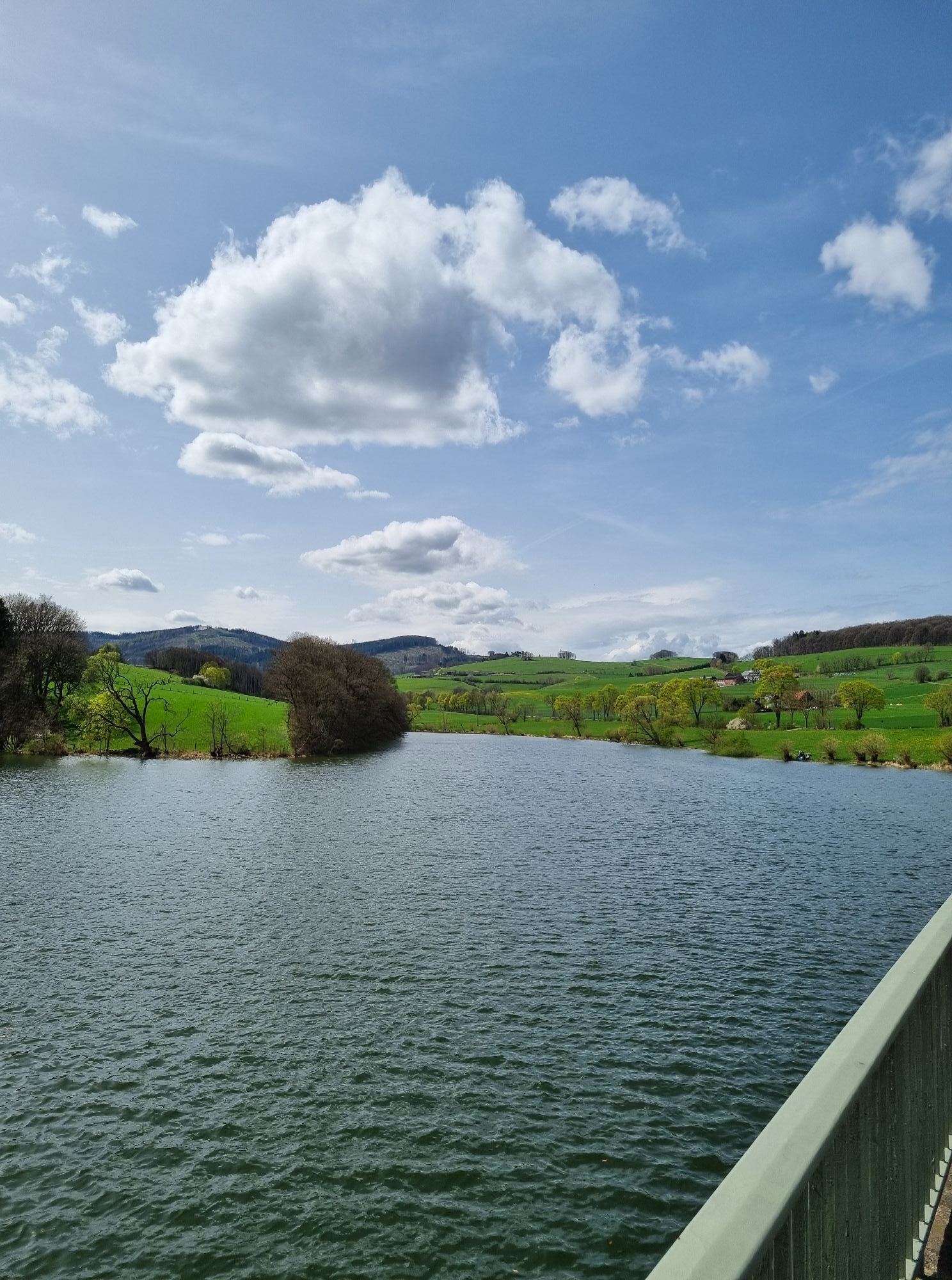
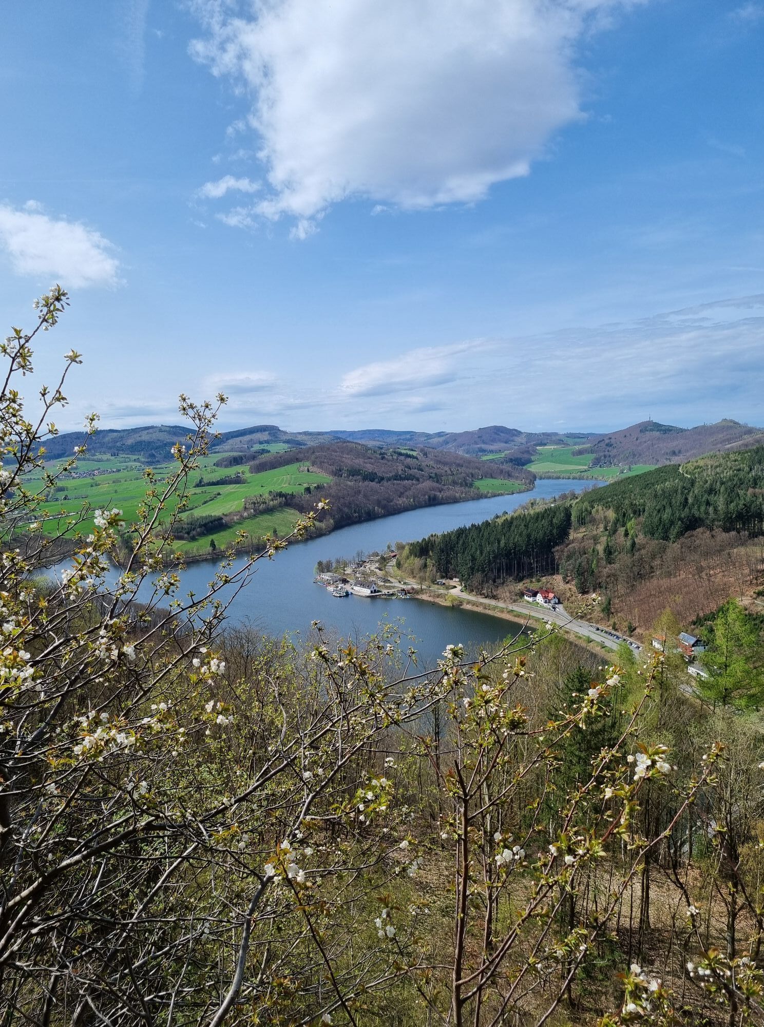
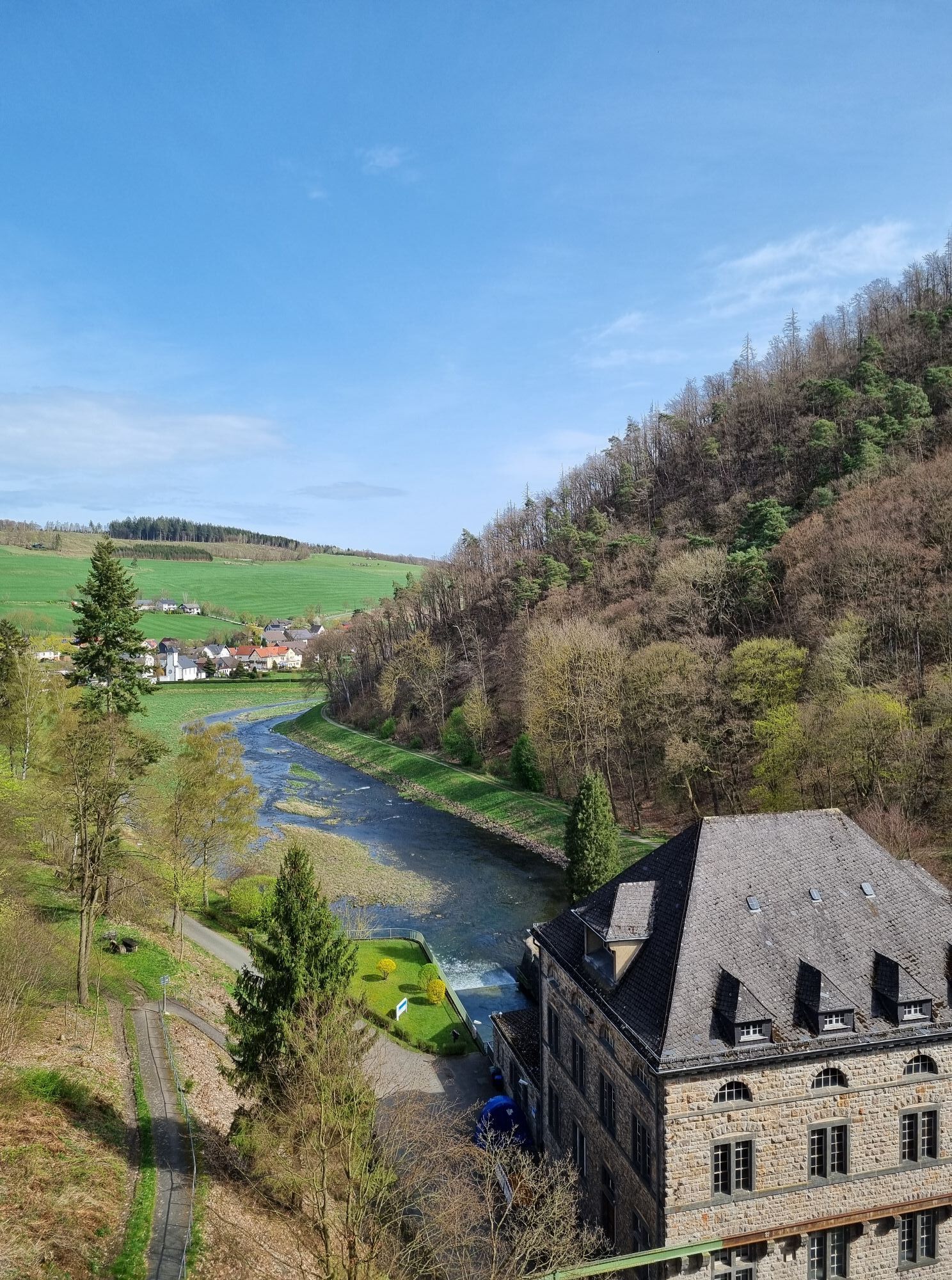
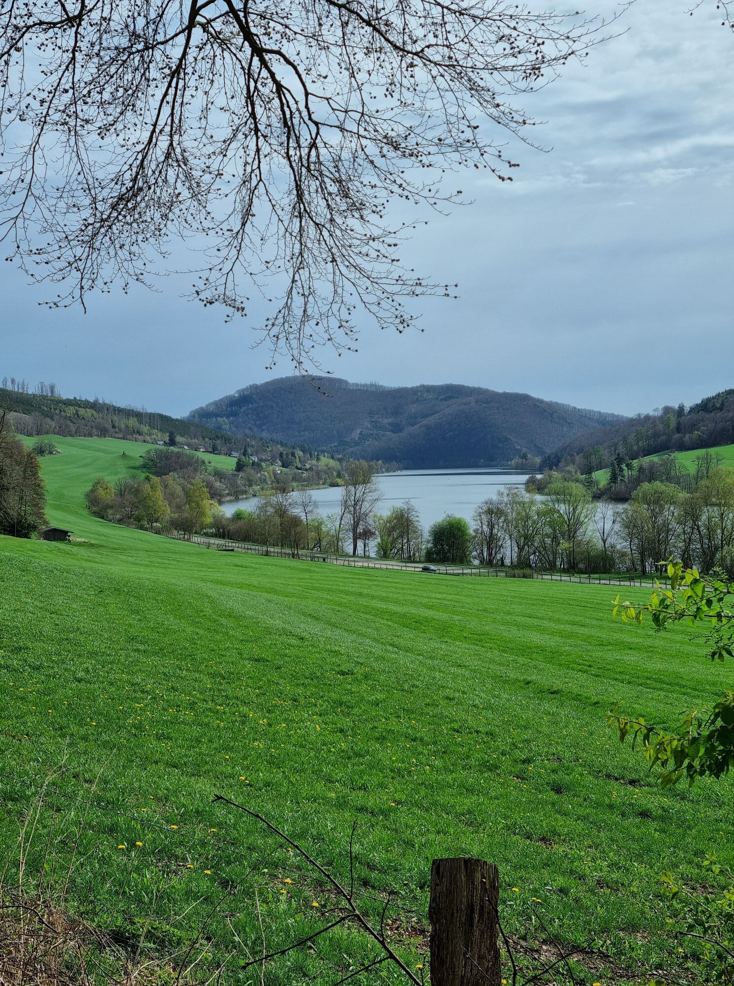
Scenic highlights are the Upland foothills behind Usseln, the ascent towards Küstelberger Schlossberg with views of the Pön group and the Asten high plateau, the summit cross of Clemensberg, which "guards" Germany's largest high heath between Niedersfeld and Willingen, the Bruchhausen stones, the view from Buttenberg to the Diemelsee, which glistens in the dazzling sunlight, and finally at the finish high above the visitor centre the Ettelsberg massif with the Hochheideturm towering above it. A very challenging and mountainous route with many climbs totaling over 1,200 metres of elevation. After the start, we initially ride "up and down" to Usseln. At the edge of the town, a narrow mountain road leads us towards Düdinghausen with views of the Upland ridges and the Kellerwald 30 km away. After a 12% descent, we reach Welleringhausen with its old Romanesque parish church and continue on narrow roads to the lowest point of our route (376 m above sea level) at the fish ponds between Bömighausen and Niederschleidern. Then the route leads us towards Winterberg/Küstelberg on a narrow mountain road, part of the Hochsauerland high road. Like in the Central Massif near Mont Ventoux, the surrounding peaks (Pön group, Schlossberg and behind that the Asten high plateau) come closer. Only the mountains there are a bit higher. Behind Küstelberg we "plunge" down a 13% steep descent to Elkeringhausen, pass through the Orke valley, and then climb again towards Winterberg. After a short coasting section towards the Ruhr source, we turn left to Grönebach beforehand. At the crest of this ridge, the Clemensberg summit cross is visible on the horizon with the Willingen mountain massif behind it. After a steep descent, we enjoy a 12 km long coasting section from Grönebach past the Hillebach reservoir into the following Ruhr valley to Assinghausen. Now it is a matter of managing your energy as there are still some climbs ahead. Upon reaching the height before Bruchhausen, the majestic Bruchhausen stones rise before us. To the right, we see the Langenberg, the highest elevation in western Germany (843 m above sea level). The Bruchhausen stones, rising 90 m out of the mountain forest, accompany the long ascent to the Rhine-Weser watershed, on whose summit a "fire oak" recalls an early Germanic cult site. After a fast descent, we reach Brilonwald, where we turn left towards Brilon and follow the Hoppecke to the eponymous town. The view to the right lets us guess the steep section to Buttenberg. A very short "crest radius" leads in a steep descent down to Bontkirchen. Before that, at the parking lot, it is time to close the wind vest for the last time. From the clearing halfway up, we see the Diemelsee shimmering a few kilometres away, which we already know from our warm-up ride. Following the Itterbach, we roll slightly uphill the last 8 km towards Willingen. Behind the sewage treatment plant, a paved forest path branches off to the left towards Schwalefeld. Concentration is required on this last section as there is no roadside protection to the deeply situated, rushing Aarbach. There are only a few kilometres left to the finish in Willingen, where a refreshing shower in the lagoon pool awaits us. The Ettelsberg massif with the Hochheideturm welcomes us again.
Tak
Wearing a bicycle helmet should be a matter of course for all cyclists. Before your ride, check that your bike is in perfect condition. For demanding routes, we recommend packing plenty of drinks and snacks.
Throughout the region (Soest district, Hochsauerland district, Märkischer district, Olpe district and Siegen-Wittgenstein district) a rescue point system is installed. You will find rescue points, among others, on the information boards at the junctions of the Southwestphalia cycling network.
Tourist Information Willingen,
From Bremen/Münster: A1 to Dortmund/Unna - A44 to Werl junction - A445/A46 to the end of the motorway Bestwig - B7 towards Brilon - after Nuttlar L 743 to Olsberg/Elleringhausen - B251 to Willingen
From Hamburg/Hanover: A2 to Bielefeld, A33 towards Paderborn to end of motorway - B480 to Brilon - B251 to Willingen
From Frankfurt: A 5 to Gießen-Südkreuz - Gießener Ring to Marburg - Frankenberg - Korbach - B251 to Willingen From Munich/Würzburg: A 7 towards Kassel - A 44 to Zierenberg exit - B251 Korbach - Willingen
From Dortmund: A44 to Werl junction - A445/A46 to the end of the motorway Bestwig - B7 towards Brilon - after Nuttlar L 743 to Olsberg/Elleringhausen - B251 to Willingen From Kassel: A 44 to Zierenberg exit - B251 Korbach - Willingen
You can easily reach both Willingen and the district of Usseln by train. Willingen (Upland) station Intercity/ICE stops: Dortmund, Hagen, Marburg, Warburg, Kassel-Wilhelmshöhe. Current timetables and tickets are available on the Deutsche Bahn website.
There are sufficient parking spaces in Willingen.
More information at www.bike-arena.de
Kamery internetowe z trasy
-
Sahnehang
-
Talstation Ettelsberg-Seilbahn
-
Talstation Ettelsberg-Seilbahn
-
Talstation Ettelsberg-Seilbahn
-
Talstation Ettelsberg-Seilbahn
-
Brembergkopf
-
Kurhotel Hochsauerland 2010
-
Kurhotel Hochsauerland 2010
-
Brembergkopf
-
Brembergkopf
-
Brembergkopf
-
Brembergkopf
-
Diemelsee
-
Sternrodt Skilift
-
AVENTURA SpielBerg
-
AVENTURA SpielBerg
-
Hochheideturm - Ettelsberg
-
Diemelsee – Heringhausen – Strandbad mit Seepromenade
-
Schlossberg Alm
-
Erlebnisberg Kappe
-
Skywalk
-
Skywalk
-
Astenturm
-
Stern Hotel Sauerland
-
Schwalefeld - Cafe Fernblick
-
Ettelsberg
-
Hochheide
-
Hochheide
-
Hochheide
-
Hochheide
-
Sesselbahn Rauher Busch
-
Sesselbahn Rauher Busch
-
Sesselbahn Rauher Busch
-
Olsberg Eisenberg
-
Winterberg Bobhaus
-
Winterberg Sprungschanze
-
Kappe
-
Kappe
-
Winterberg Möppi
-
Sonnenhang
Uzyskaj wgląd
Zawsze na żywo z ponad 9 500 kamer internetowych. bergfex Jako użytkownik Pro, możesz teraz zobaczyć odpowiednie kamery internetowe dla wielu wycieczek w aplikacji wycieczki od. Pozwala to na bezpośredni podgląd aktualnych warunków.
Popularne wycieczki w okolicy
-
4,7
Bruchhauser Steine B1
średniWędrówka 11,8 km -
5,0
Circular route Skywalk/Hill - Ettelsberg
światłoWędrówka 4,10 km -
4,5
Bruchhausener Steine
ciężkiWędrówka 5,15 km -
5,0
Der "Fabelhafte Elfensteig" in Winterberg-Züschen
Wędrówka 4,45 km -
5,0
Winterberg - rund um den Kreuzberg
światłoWędrówka 10,9 km -
5,0
Rundwanderung Ruhrquelle Winterberg
światłoWędrówka 3,74 km -
5,0
Golddorf Route Westfeld / Rothaarsteig-Spur "Kahler Asten-Steig"
ciężkiWędrówka 16,0 km -
4,0
Willingen (W8)
średniWędrówka 12,9 km -
5,0
Rothaarsteig-Spur - Grönebacher Dorfpfad
średniWędrówka 10,6 km -
5,0
Willingen (W6)
średniWędrówka 12,9 km
Wędrówki i tropienie


Nie przegap ofert i inspiracji na następne wakacje
Twój adres e-mail została dodana do listy mailingowej.





