


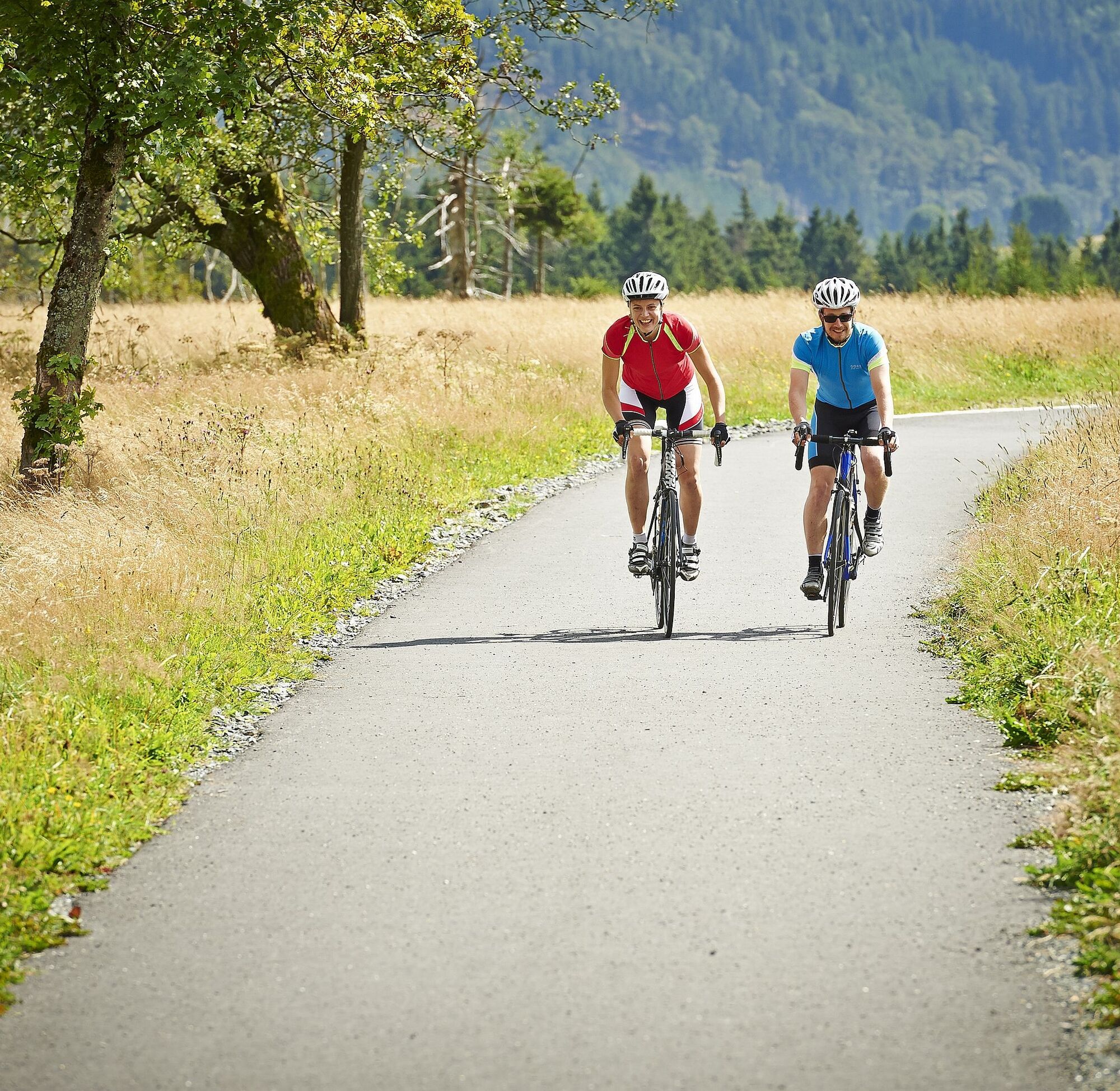
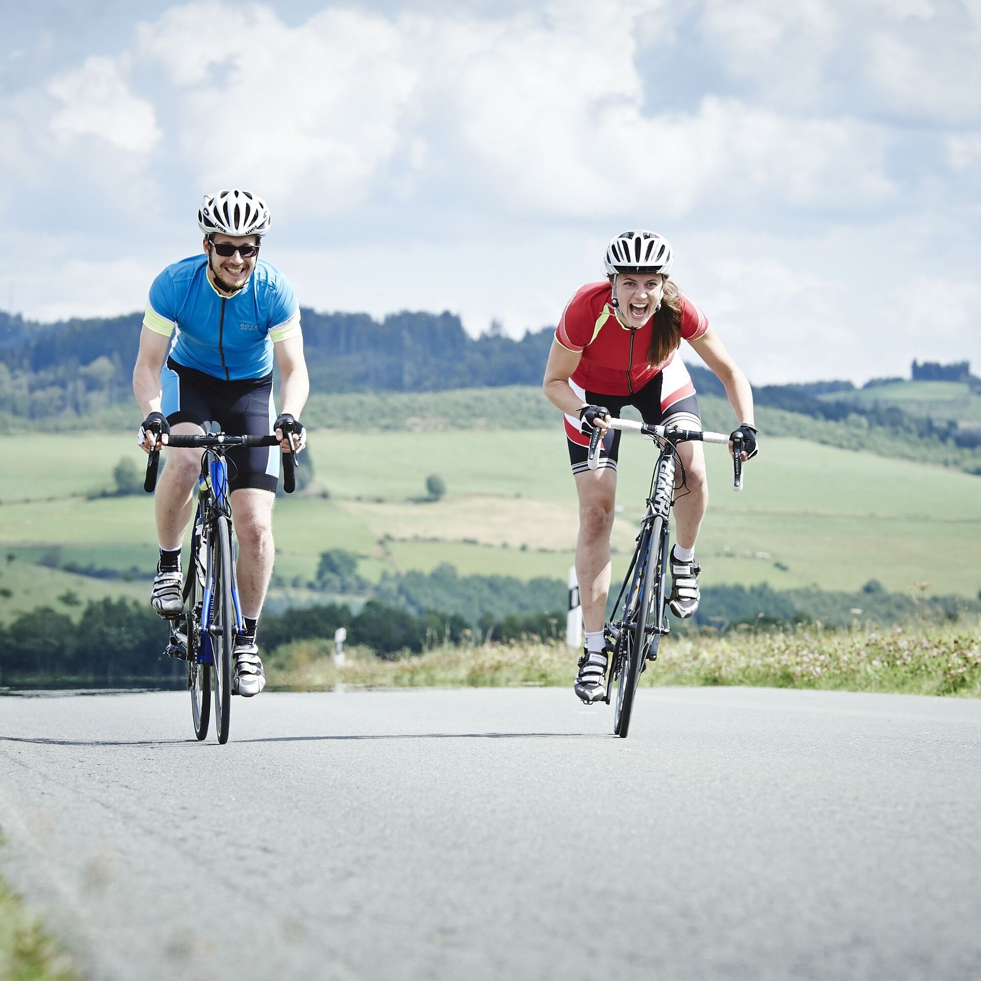
Road bike - Diemelsee impressions
Zdjęcia naszych użytkowników
-
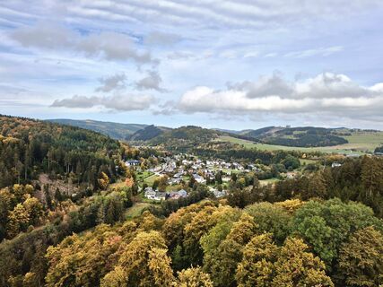
 © Katja HenneckeUtworzono dnia 07.04.2024
 -
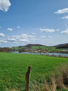
 © Katja HenneckeUtworzono dnia 07.04.2024
 -
 © Katja HenneckeUtworzono dnia 07.04.2024
 -
 © Katja HenneckeUtworzono dnia 07.04.2024
 -
 © Katja HenneckeUtworzono dnia 07.04.2024
 -
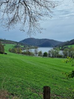
 © JackyUtworzono dnia 18.10.2025
 -
 © JackyUtworzono dnia 18.10.2025
 -
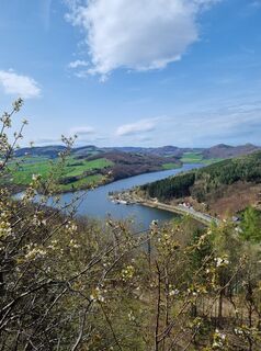
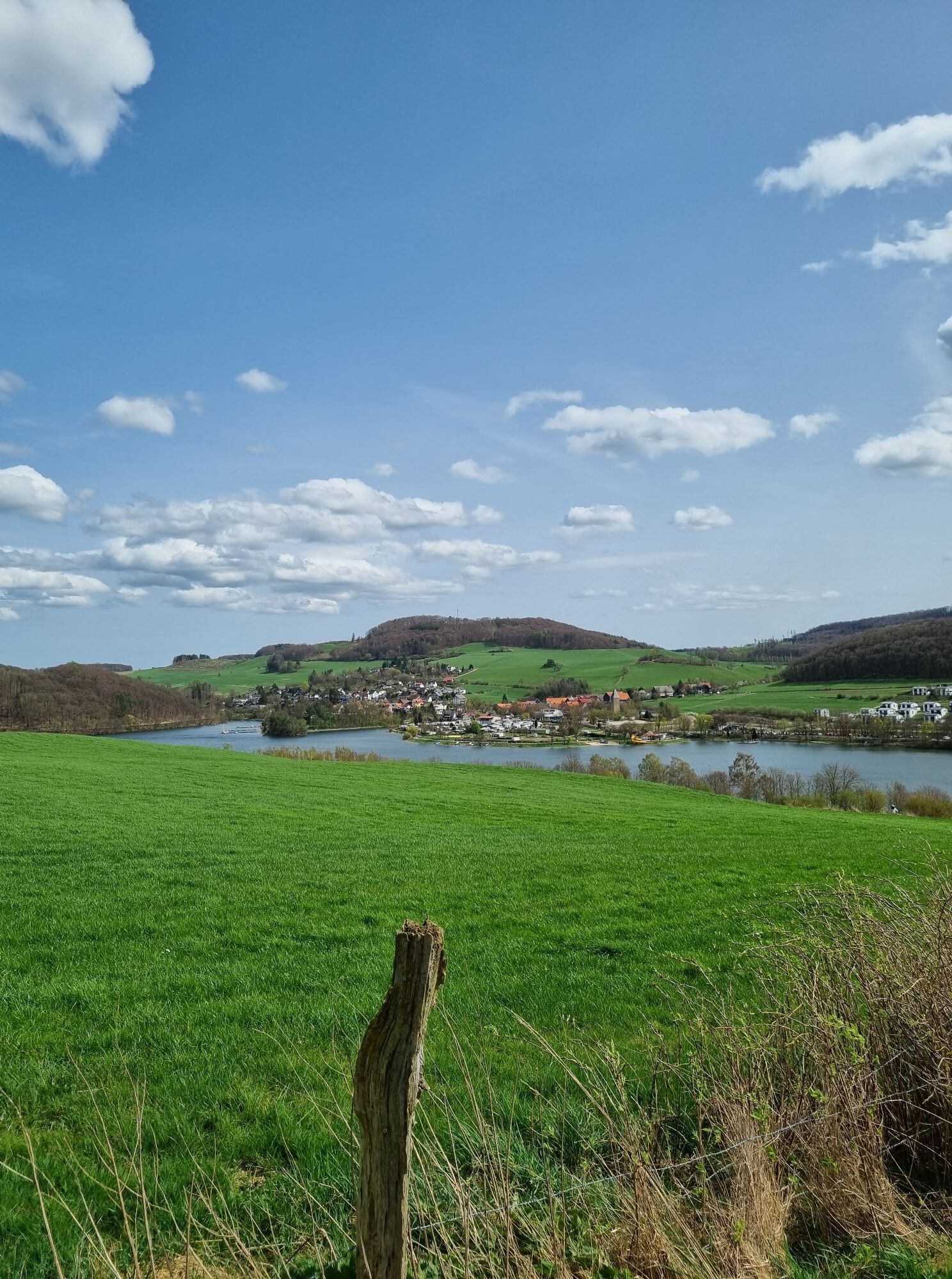
 © speroni1959Utworzono dnia 21.04.2025
 -
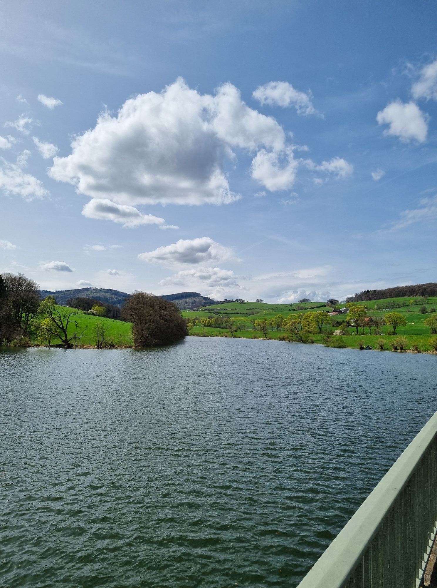
 © speroni1959Utworzono dnia 21.04.2025
 -
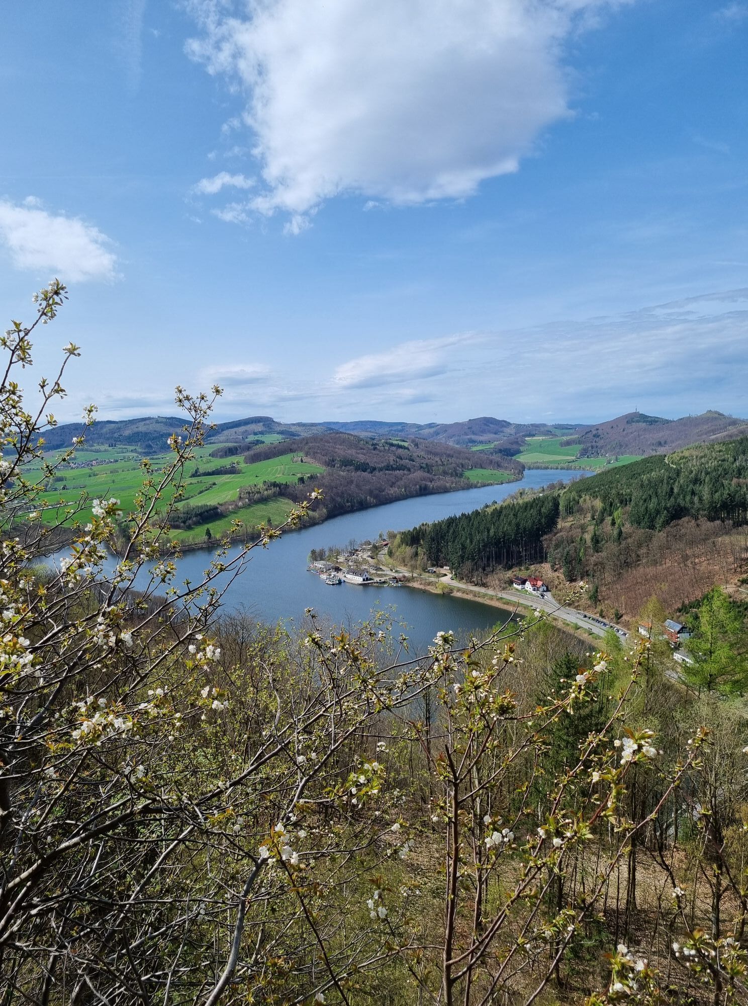
 © speroni1959Utworzono dnia 21.04.2025
 -
 © speroni1959Utworzono dnia 21.04.2025
 -
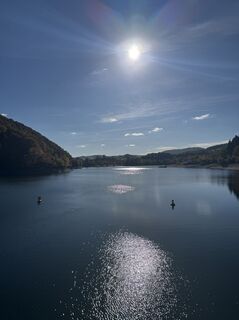
 © Christian ArensUtworzono dnia 12.10.2024


From the starting point at the station in Willingen, we roll towards Brilon and turn right after a small hill in the direction of Hoppecke. This 15 km rolling section takes us to the junction towards Bontkirchen/Diemelsee.
The...
From the starting point at the station in Willingen, we roll towards Brilon and turn right after a small hill in the direction of Hoppecke. This 15 km rolling section takes us to the junction towards Bontkirchen/Diemelsee.
The incline of the 2.5 km climb to Buttenberg can be sensed. Thanks to a hairpin bend, the 14% steep section is manageable.
Shortly before the "pass height" the forest opens up and it goes immediately steep downhill towards Bontkirchen.
Once down in the valley, we turn left at Bontkirchen towards the lake, to take the incline to Stormbruch again after about 500 m via a narrow side road.
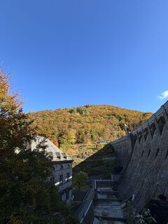
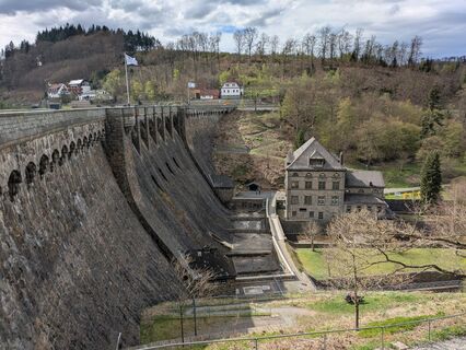
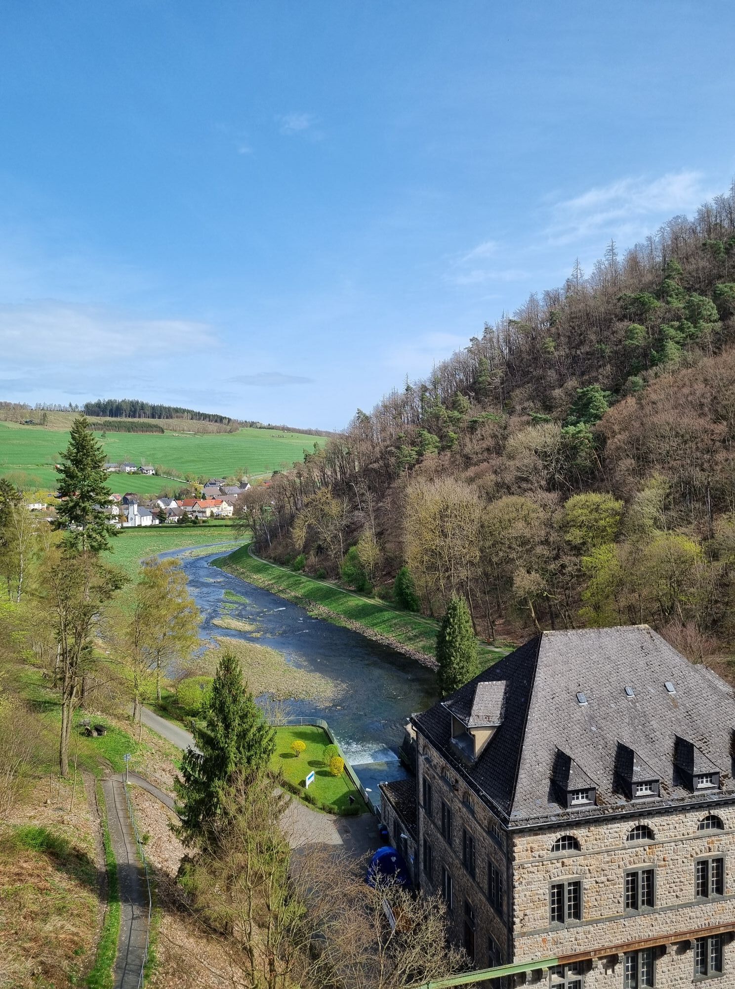
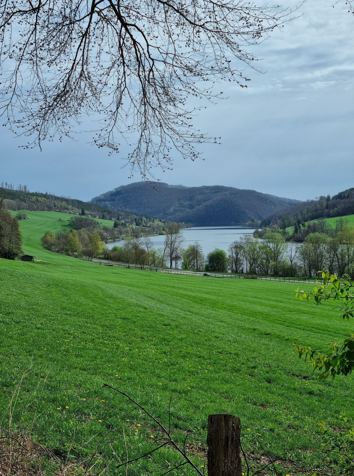
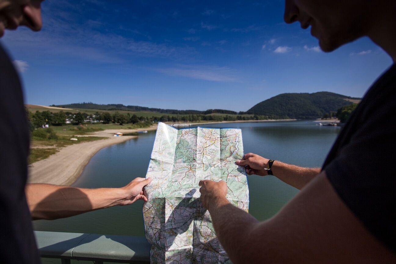
On the descent, we see the Diemelsee for the second time; this is the so-called "Diemelteil".
Continuing towards the lake, we cross the Stormbruch bridge.
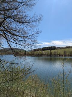
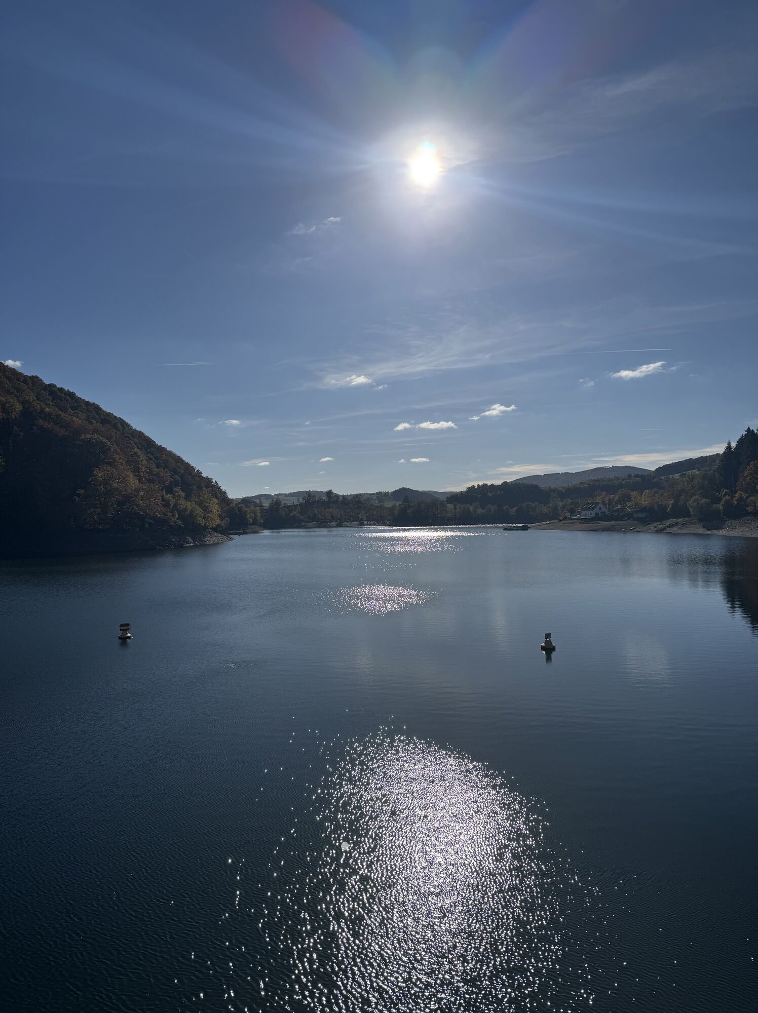
The ride around the Diemelsee is a pleasure for so-called "rouleurs": the road is flat and winding over several kilometers.
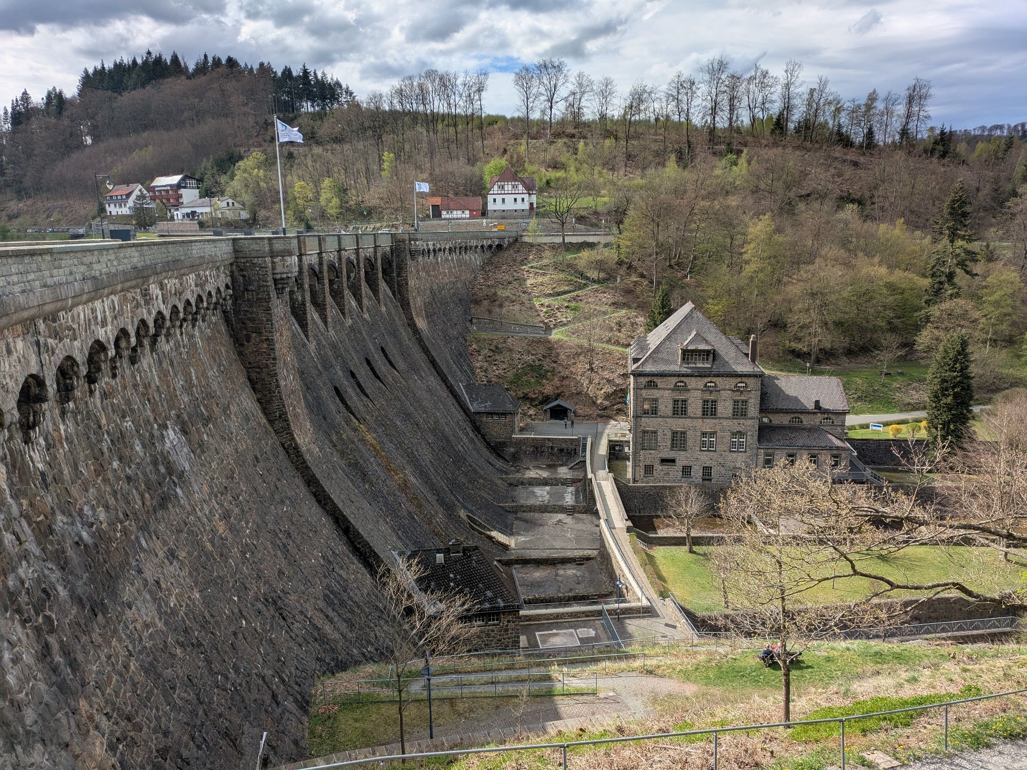
From the dam wall the road takes us back past Bontkirchen to Willingen.
This time the ridges of the Willingen mountain massif are not behind us but rise ahead. But no worries: the 15 km stretch is very manageable.


Willingen – Brilon Wald – Hoppecke – Bontkirchen – Stormbruch – Heringhausen – Diemelsee dam wall – Bontkirchen – Willingen
Tak
B251, Willingen town bypass
Bus or train to Willingen station
At the station
www.bike-arena.de
Kamery internetowe z trasy
-
Talstation Ettelsberg-Seilbahn
-
Talstation Ettelsberg-Seilbahn
-
Talstation Ettelsberg-Seilbahn
-
Talstation Ettelsberg-Seilbahn
-
Talstation Ettelsberg-Seilbahn
-
Kurhotel Hochsauerland 2010
-
Kurhotel Hochsauerland 2010
-
Kurhotel Hochsauerland 2010
-
Kurhotel Hochsauerland 2010
-
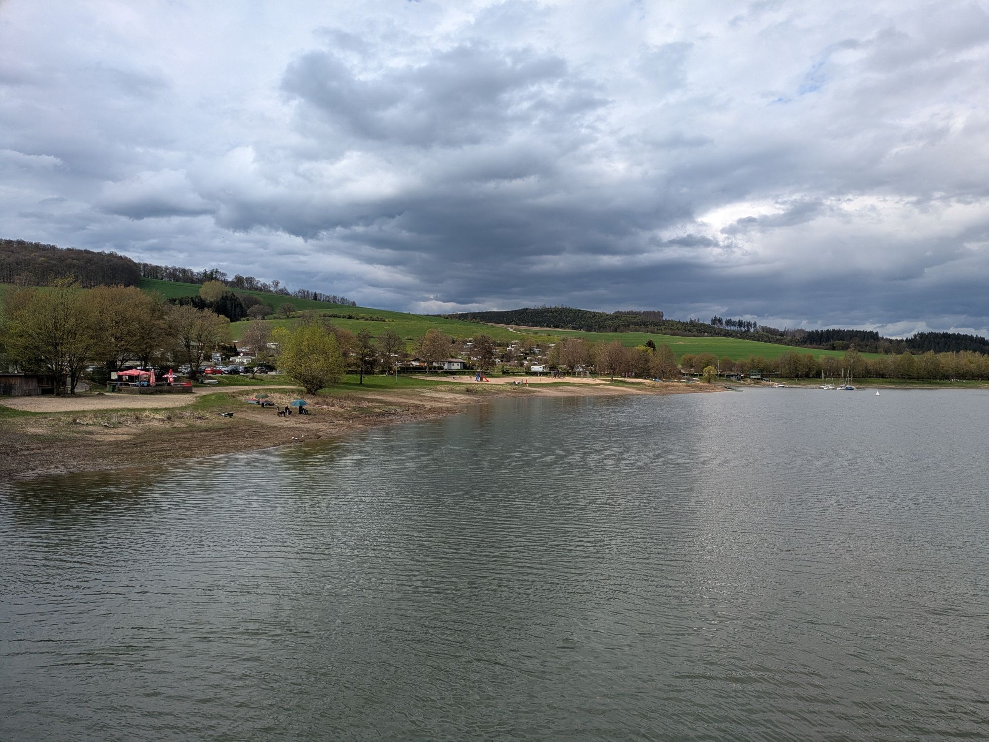
Diemelsee
-
Sternrodt Skilift
-
Hochheideturm - Ettelsberg
-
Diemelsee – Heringhausen – Strandbad mit Seepromenade
-
Skywalk
-
Skywalk
-
Skywalk
-
Skywalk
-
Skywalk
-
Stern Hotel Sauerland
-
Schwalefeld - Cafe Fernblick
-
Willinger Brauhaus
-
Ettelsberg
-
Olsberg Eisenberg
-
Sonnenhang
-
Talstation Ettelsberg Seilbahn
-
Ettelsberg Seilbahn Bergstation/ Hochheideturm
-
Mountainbike-Strecke K1
-
K1 Gipfelkreuz
-
Bikepark (Sommer) / Skipiste an K1-Hütte (Winter)
-
Spielplatz, Bergsee, K1-Gipfel
-
Spielplatz am Hochheideturm
-
Ettelsbergplateau
-
Ettelsberghütte
-
Zum Wilddieb
Popularne wycieczki w okolicy
-
4,7
Bruchhauser Steine B1
średniWędrówka 11,8 km -
5,0
Circular route Skywalk/Hill - Ettelsberg
światłoWędrówka 4,10 km -
4,5
Bruchhausener Steine
ciężkiWędrówka 5,15 km -
4,8
Rundwanderung Diemelsee
światłoWędrówka 8,54 km -
5,0
Rothaarsteig-Spur - Grönebacher Dorfpfad
średniWędrówka 10,6 km -
4,0
Willingen (W8)
średniWędrówka 12,9 km -
5,0
Willingen (W6)
średniWędrówka 12,9 km -
5,0
Strycktal circular route (Willingen)
średniWędrówka 3,99 km -
5,0
Wandertipp: Rundweg Ettelsberg-Mühlenkopfschanze
światłoWędrówka 7 km -
5,0
Upländer meditation path
światłoWędrówka 17,6 km
Wędrówki i tropienie


Nie przegap ofert i inspiracji na następne wakacje
Twój adres e-mail została dodana do listy mailingowej.