






Kid's MTB Network Bird Route (blue)
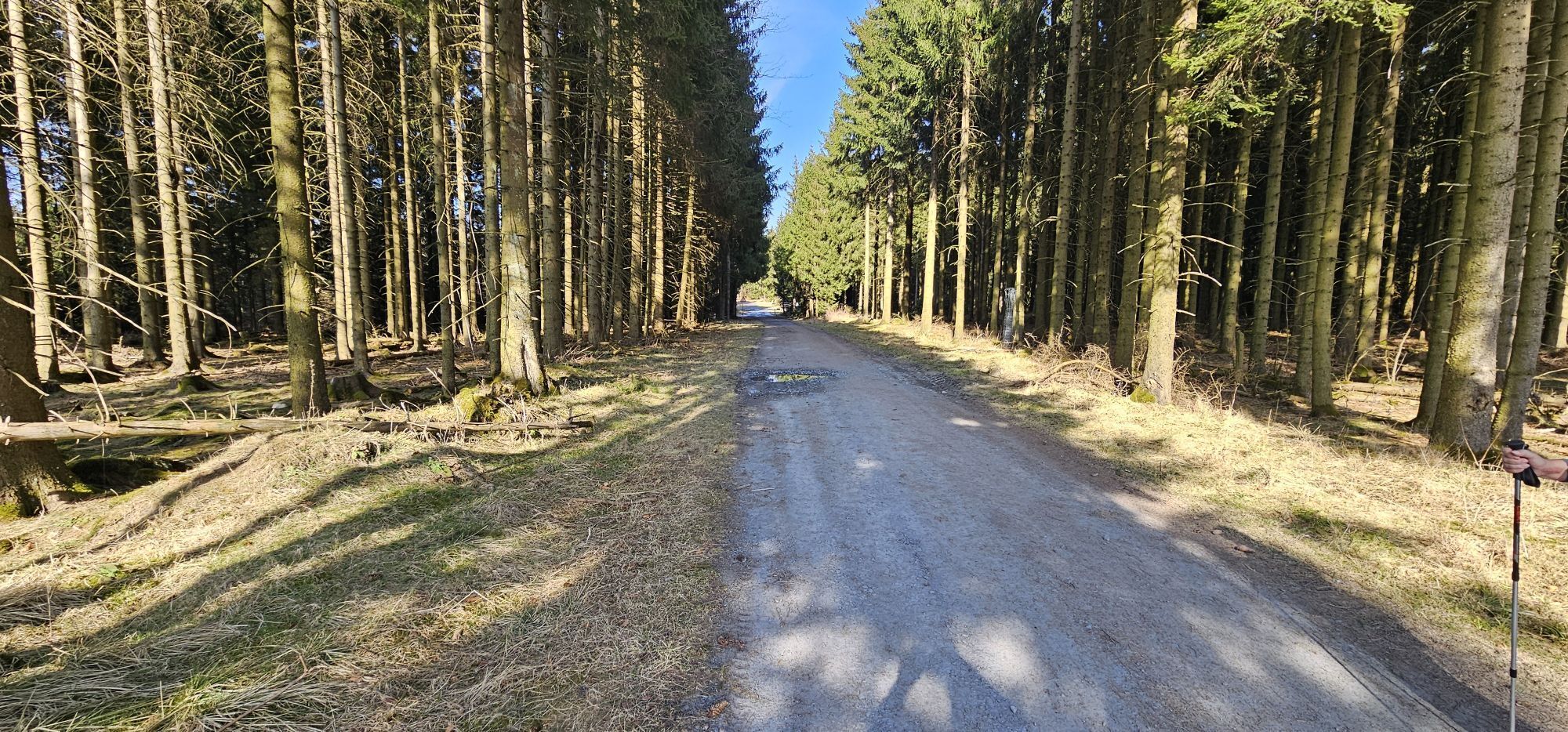
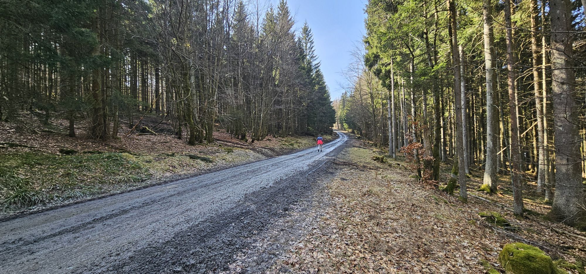
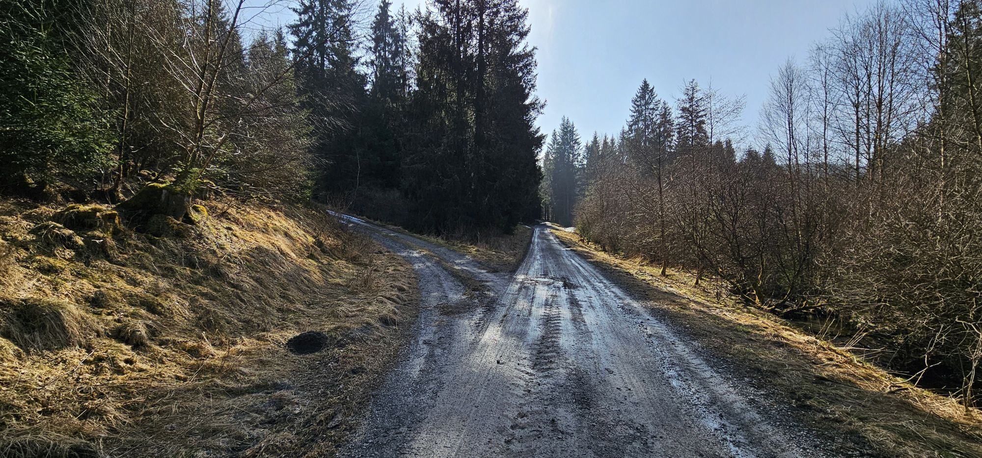
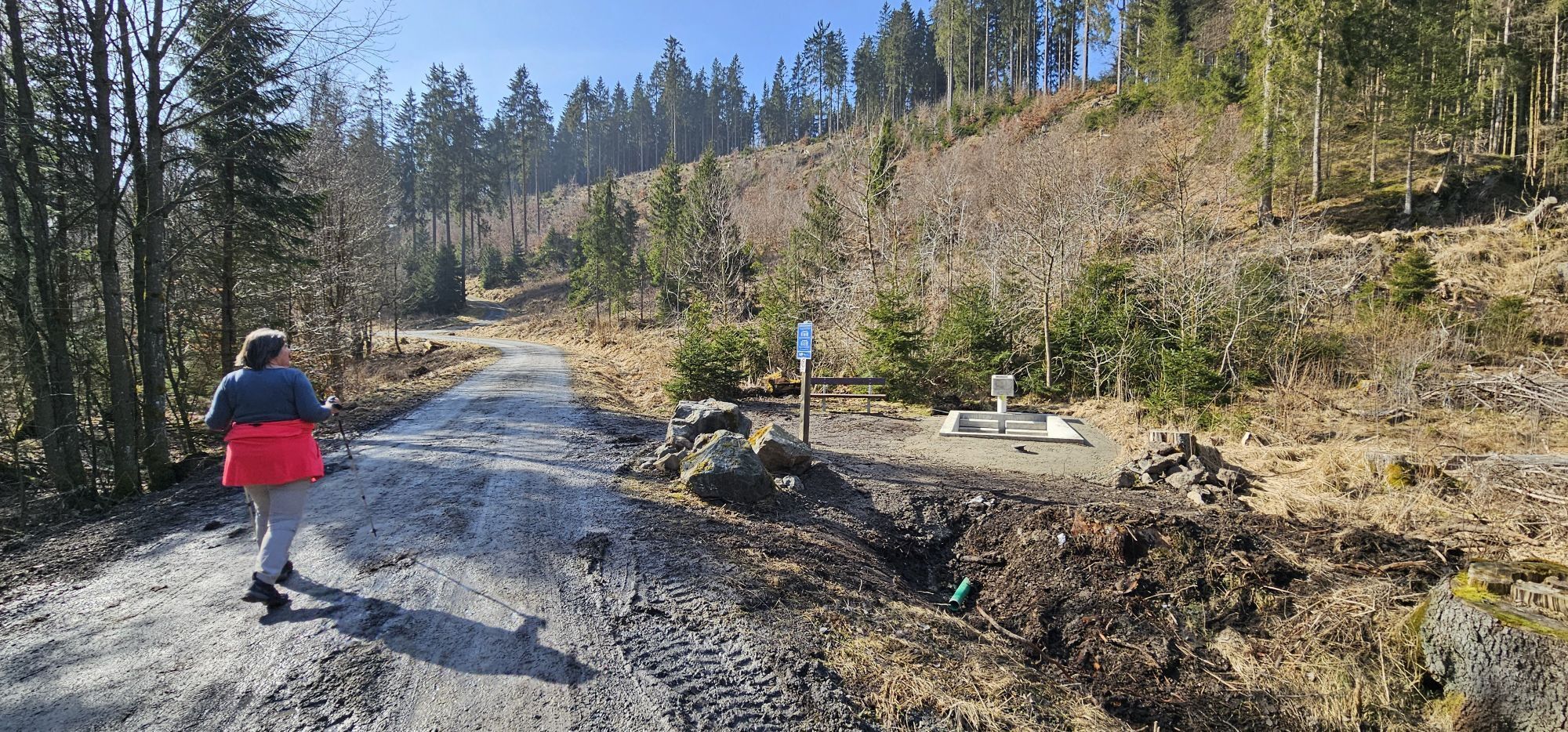
The blue bird route is part of the Willingen MTB trails for children. These are so well connected and signposted that parents and children can still decide which way to go and how long the route should...
The blue bird route is part of the Willingen MTB trails for children. These are so well connected and signposted that parents and children can still decide which way to go and how long the route should be during the ride.
Important: The difficulty profiles are only guidelines - these can of course vary from child to child. Children are not supposed to bike here alone. Mountain bikes are required in any case. Riding the trails is at your own risk. Sometimes hikers or car traffic may be on the same paths.
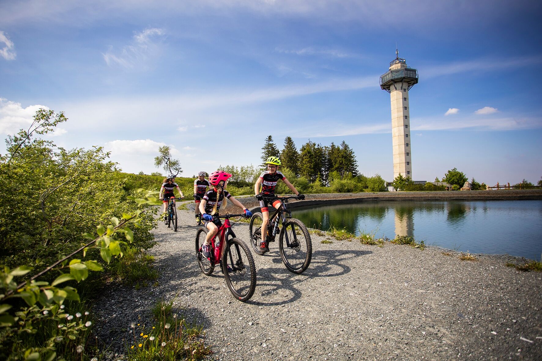
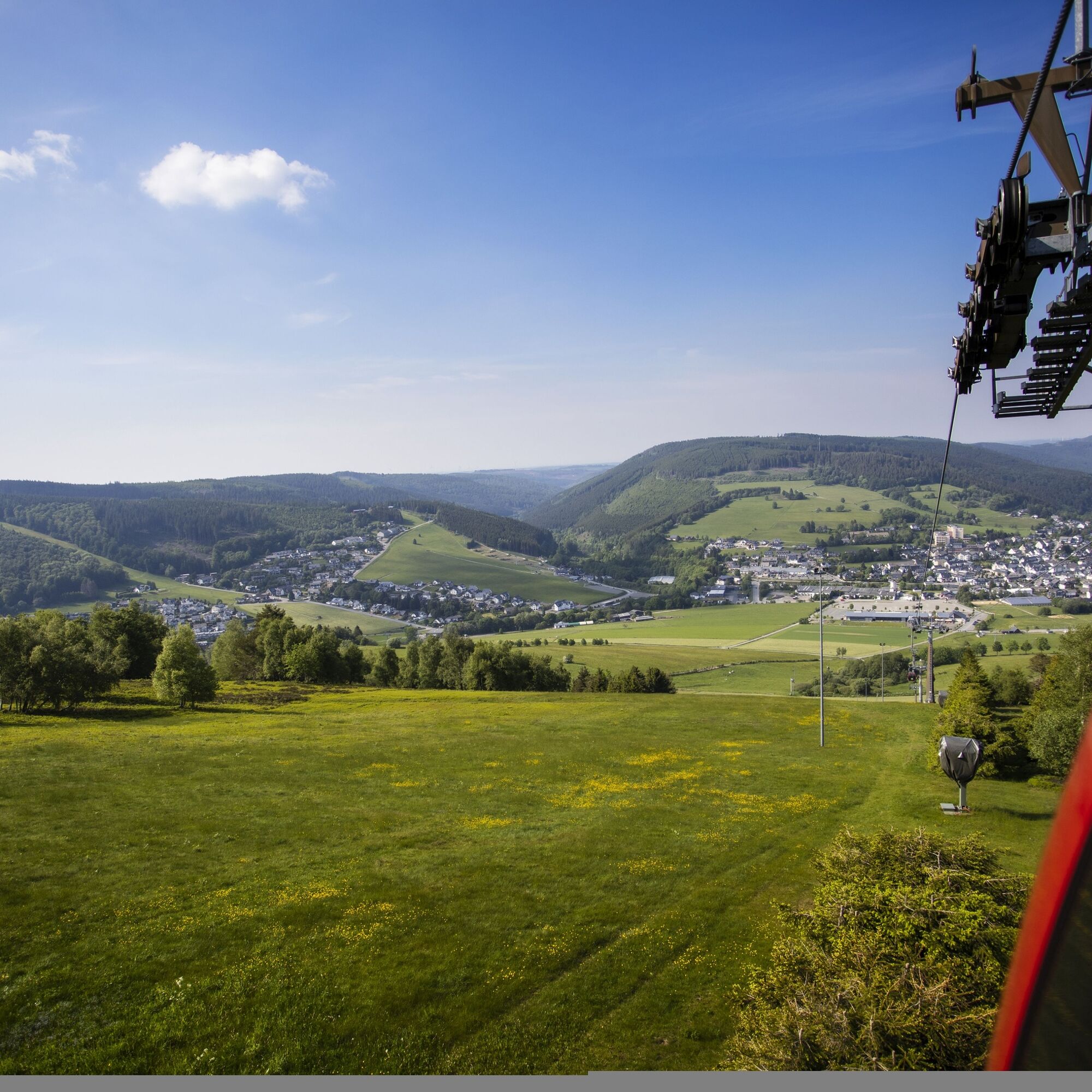
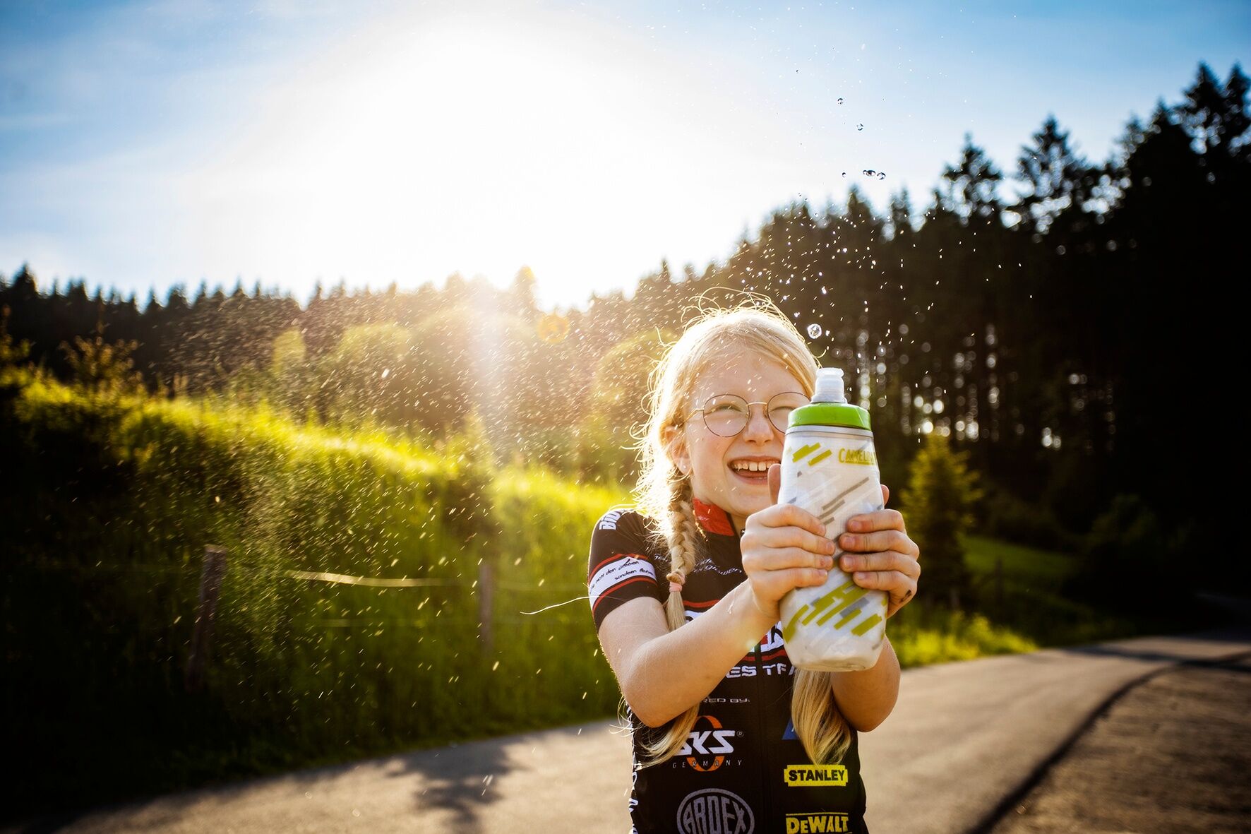

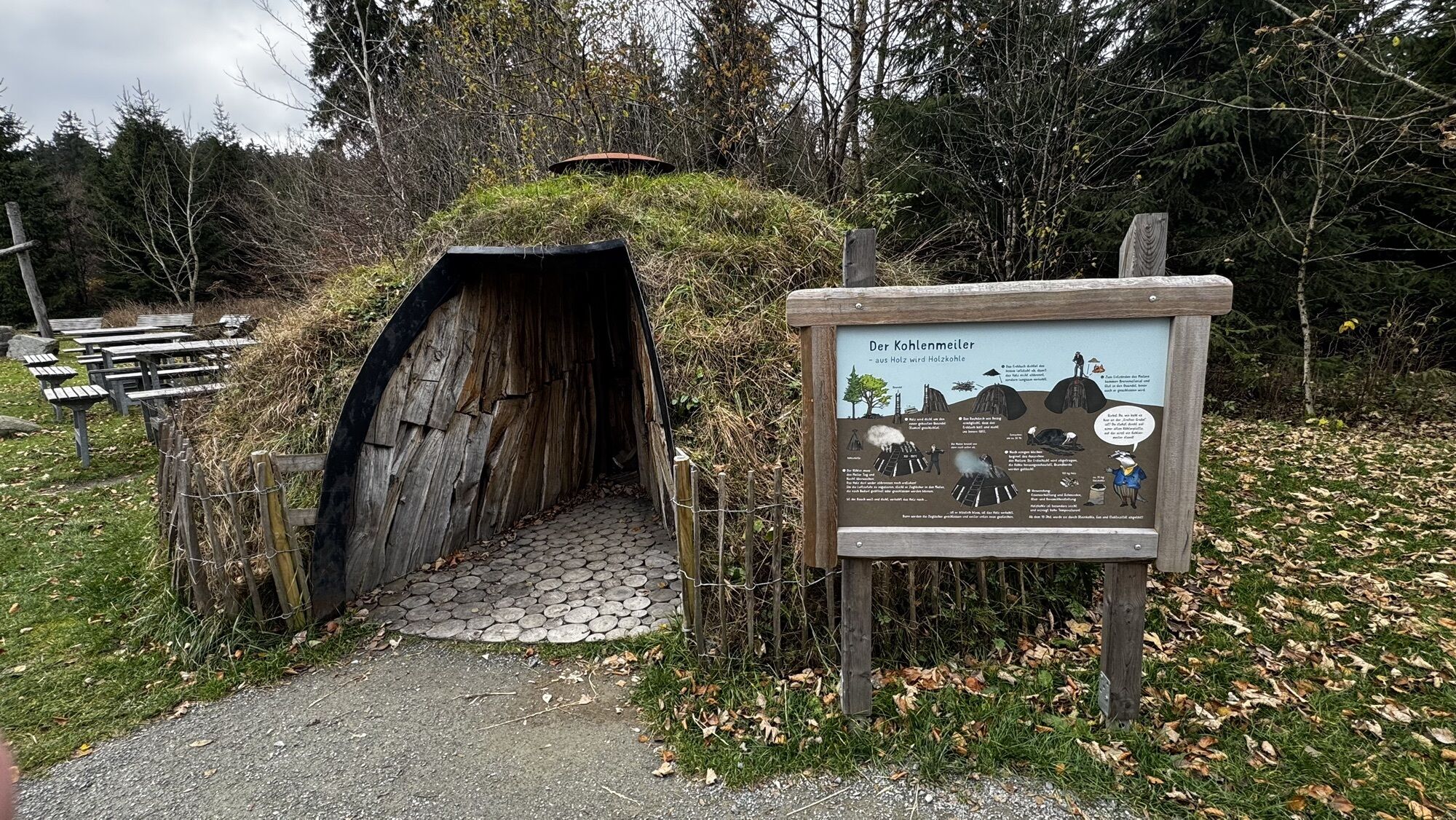
The blue bird route is really designed for beginners, and so it goes gently downhill over the Kohlmeiler Große Grube across the Lütteke Feld to another shelter "Am Streit". Here you have the option to switch to the red bird route.
Our blue bird continues along the state border between North Rhine-Westphalia and Hesse up to the Hildfelder Höhe. Here you can take the black hare route, but beware, it is very technical.
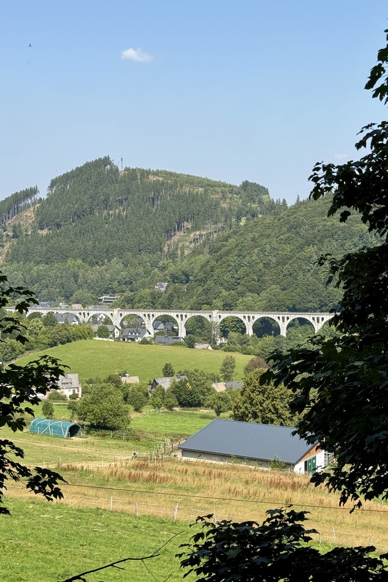
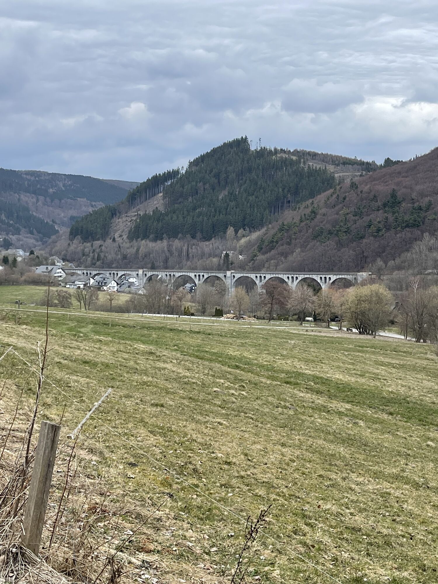
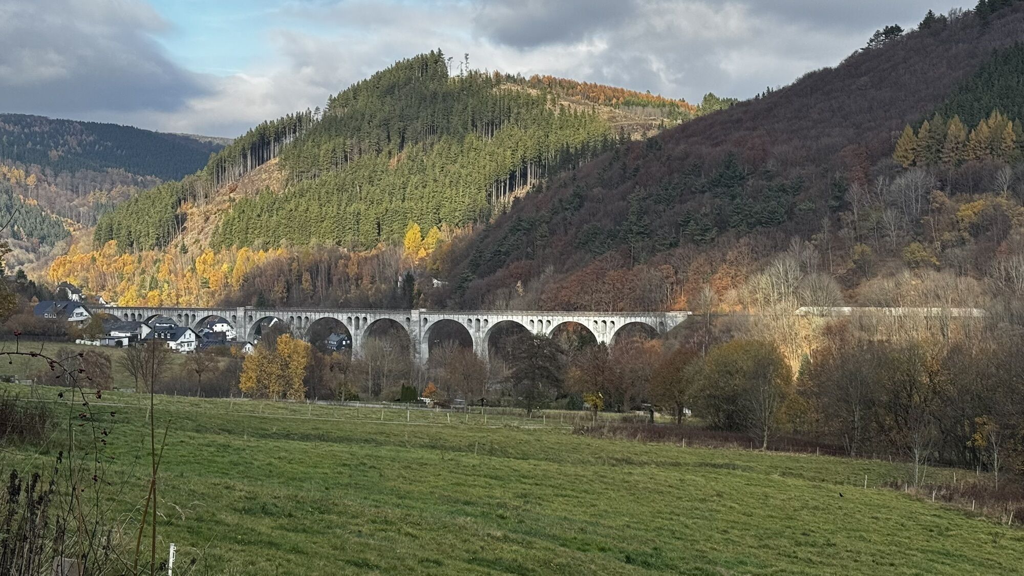
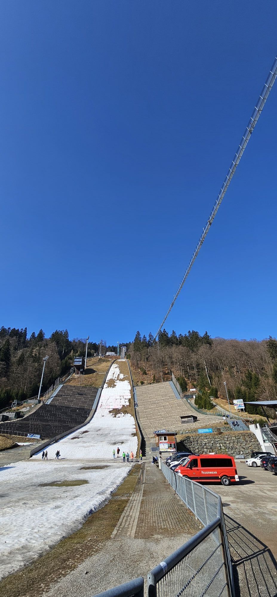
In a nice descent, we fly down into the valley and pass the famous Mühlenkopfschanze. A small ice cream at Café Aufwind awaits as a reward before heading back to our starting point in Willingen.
Tak
Tak
Since this route from the Hildfelder Höhe goes almost entirely downhill, the route can be extended with the black hare which is very technical, or follow the red hare in the valley
Kamery internetowe z trasy
-
Talstation Ettelsberg-Seilbahn
-
Kurhotel Hochsauerland 2010
-
Kurhotel Hochsauerland 2010
-
Kurhotel Hochsauerland 2010
-
Kurhotel Hochsauerland 2010
-
Sternrodt Skilift
-
Hochheideturm - Ettelsberg
-
Schlossberg Alm
-
Skywalk
-
Stern Hotel Sauerland
-
Schwalefeld - Cafe Fernblick
-
Willinger Brauhaus
-
Ettelsberg
-
Hochheide
-
Talstation Ettelsberg Seilbahn
-
Ettelsberg Seilbahn Bergstation/ Hochheideturm
-
Sesselbahn Ritzhagen Berg
-
Piste Ritzhagen
-
Mountainbike-Strecke K1
-
K1 Gipfelkreuz
-
Bikepark (Sommer) / Skipiste an K1-Hütte (Winter)
-
Spielplatz, Bergsee, K1-Gipfel
-
Spielplatz am Hochheideturm
-
Ettelsbergplateau
-
Ettelsberghütte
-
Bergstation Ritzhagen
-
Skipiste Ritzhagen
Uzyskaj wgląd
Zawsze na żywo z ponad 9 500 kamer internetowych. bergfex Jako użytkownik Pro, możesz teraz zobaczyć odpowiednie kamery internetowe dla wielu wycieczek w aplikacji wycieczki od. Pozwala to na bezpośredni podgląd aktualnych warunków.
Popularne wycieczki w okolicy
-
4,7
Bruchhauser Steine B1
średniWędrówka 11,8 km -
5,0
Circular route Skywalk/Hill - Ettelsberg
światłoWędrówka 4,10 km -
4,5
Bruchhausener Steine
ciężkiWędrówka 5,15 km -
5,0
Der "Fabelhafte Elfensteig" in Winterberg-Züschen
Wędrówka 4,45 km -
5,0
Winterberg - rund um den Kreuzberg
światłoWędrówka 10,9 km -
5,0
Rundwanderung Ruhrquelle Winterberg
światłoWędrówka 3,74 km -
4,0
Willingen (W8)
średniWędrówka 12,9 km -
5,0
Rothaarsteig-Spur - Grönebacher Dorfpfad
średniWędrówka 10,6 km -
5,0
Willingen (W6)
średniWędrówka 12,9 km -
Winterberger Hochtour
ciężkiTrasa tematyczna 90,7 km
Wędrówki i tropienie


Nie przegap ofert i inspiracji na następne wakacje
Twój adres e-mail została dodana do listy mailingowej.





